






European Long Distance hiking Trail E7 (Slovenia)
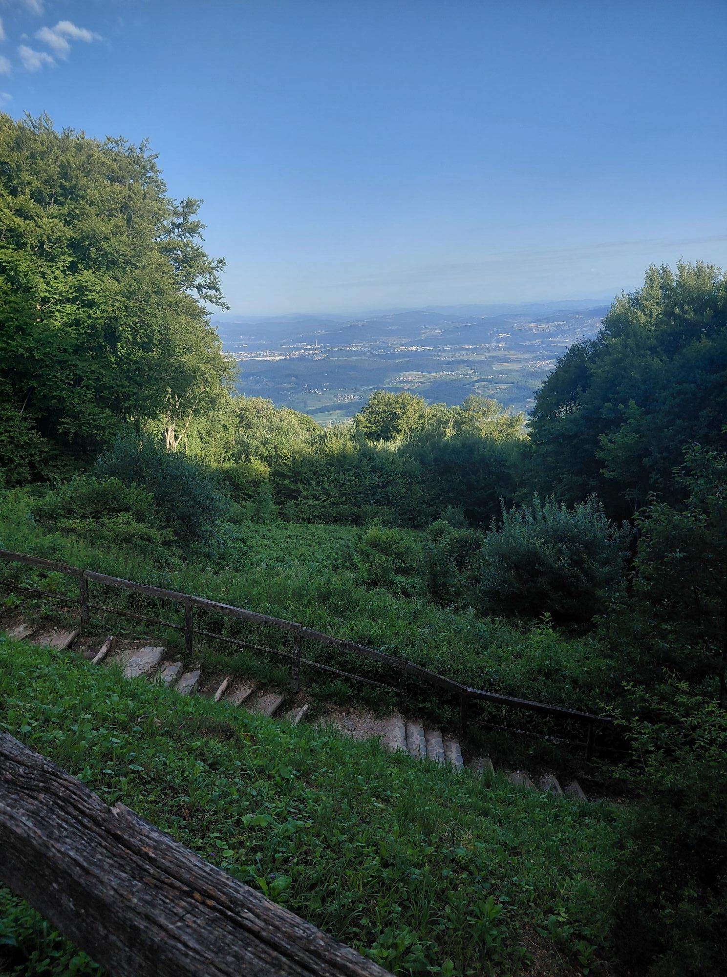
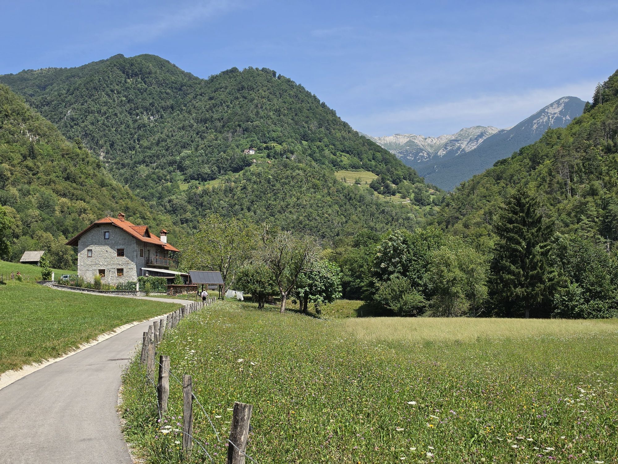
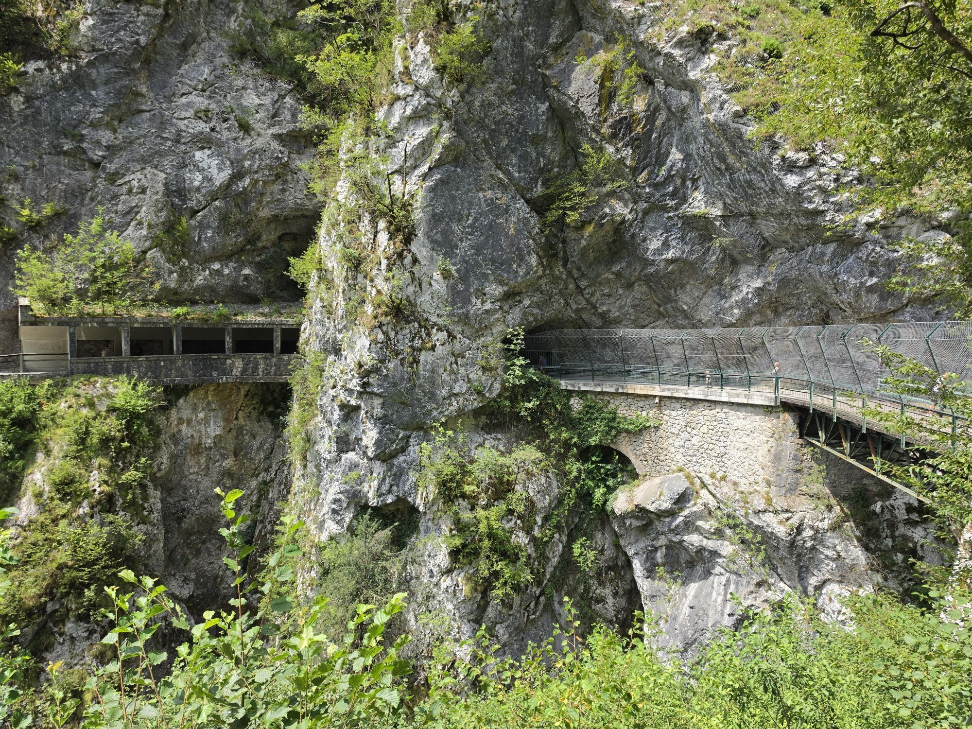
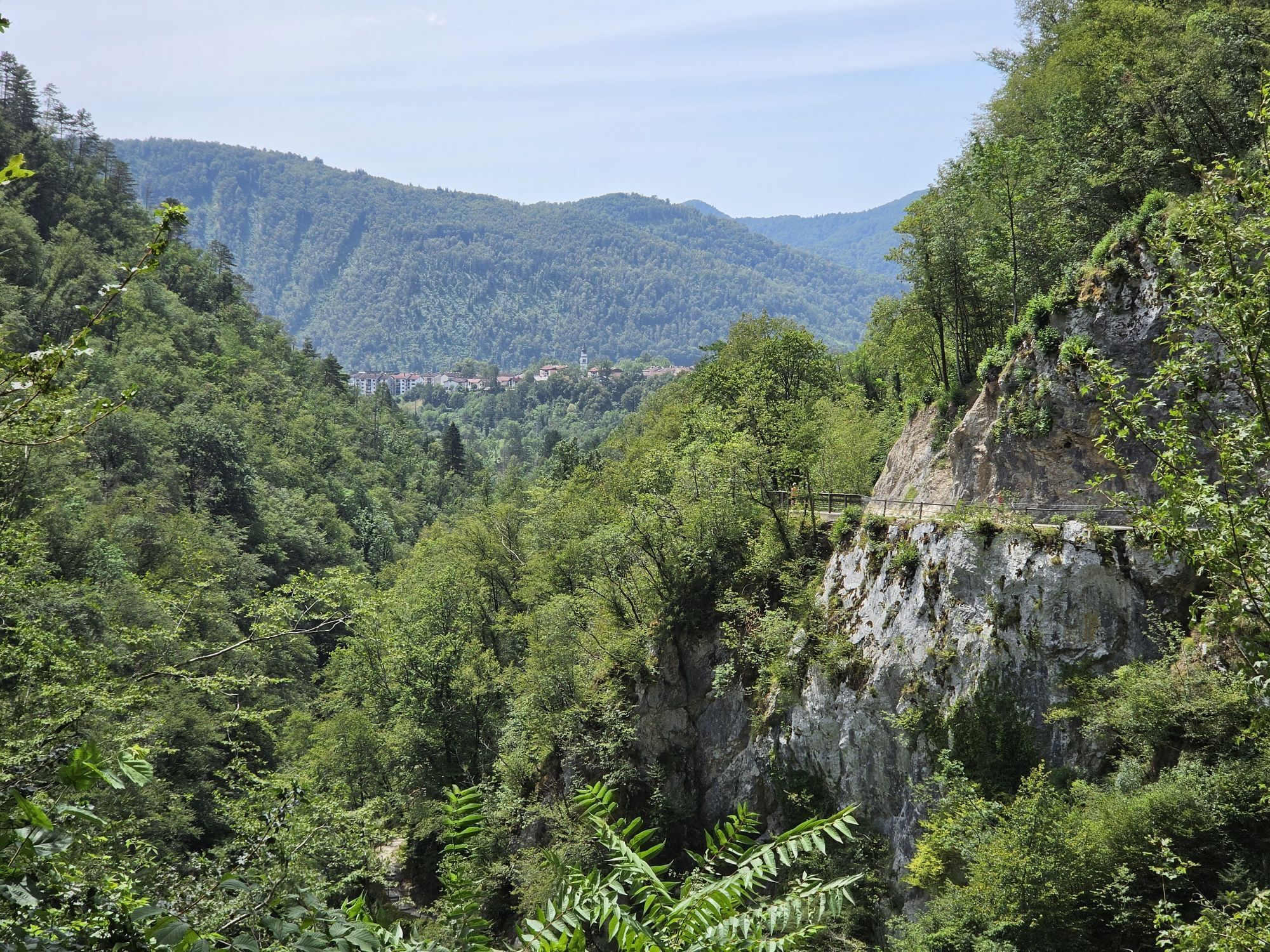
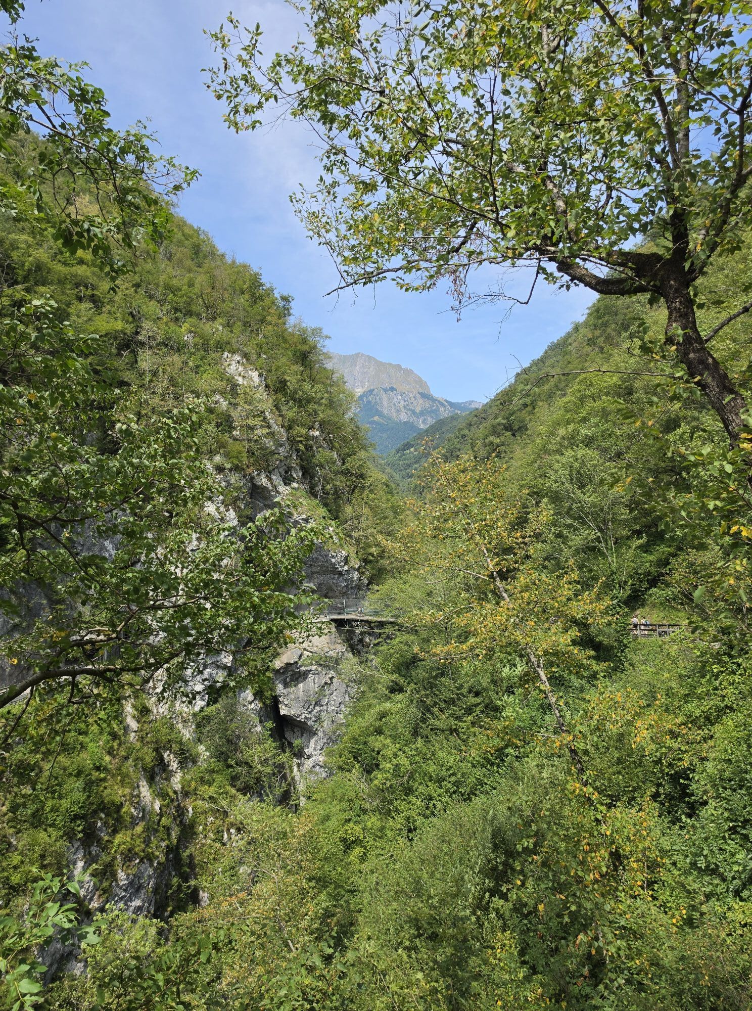
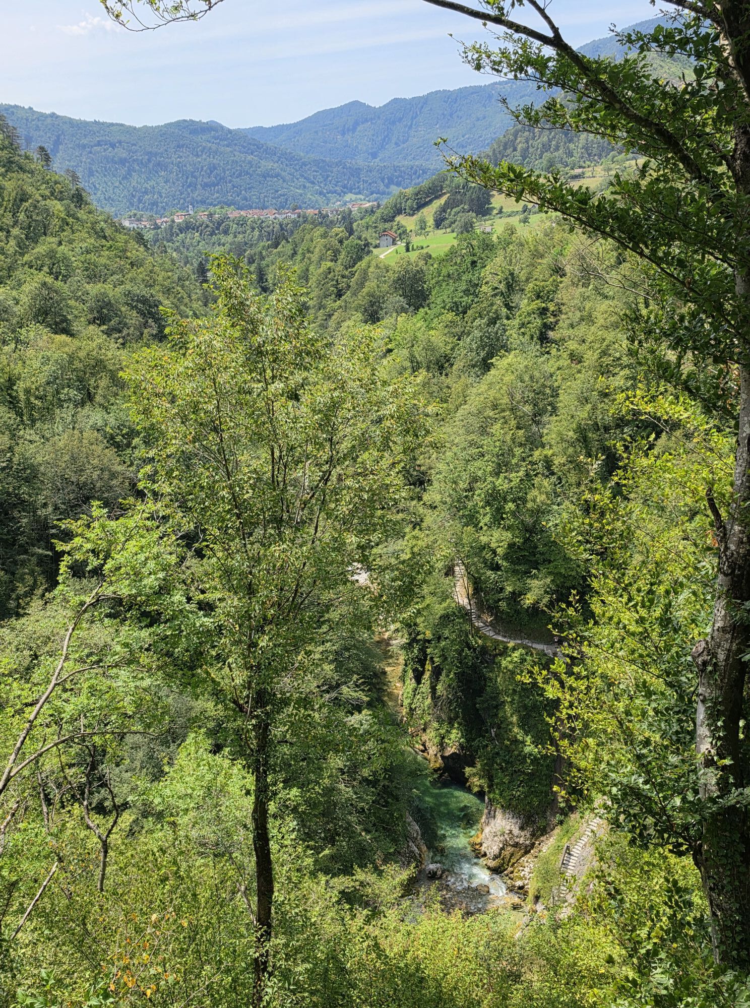
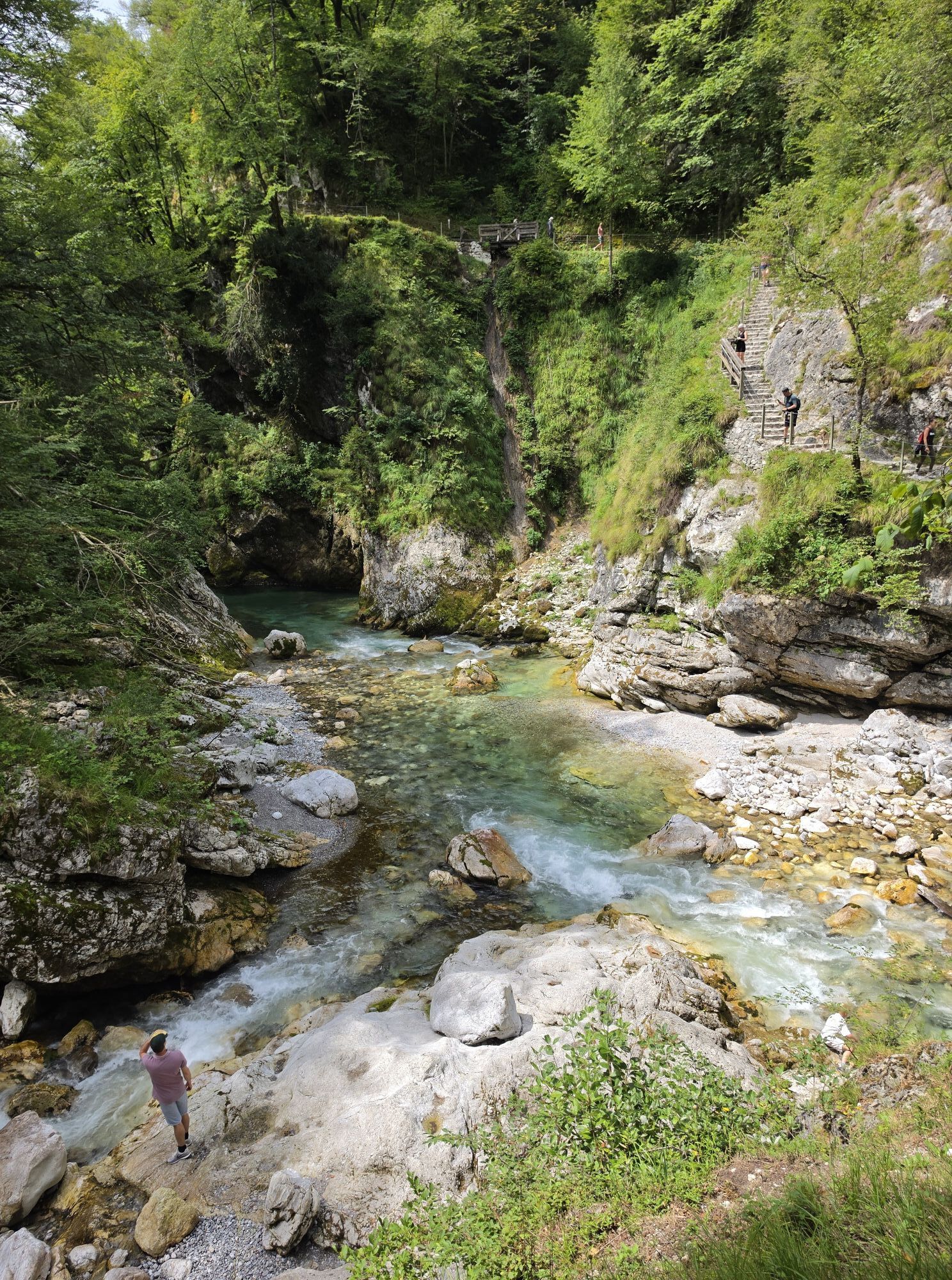
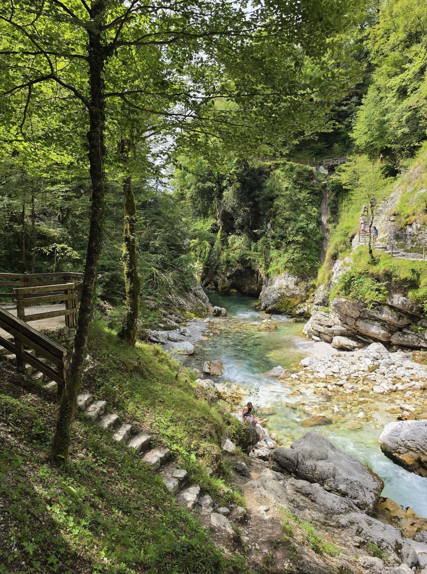
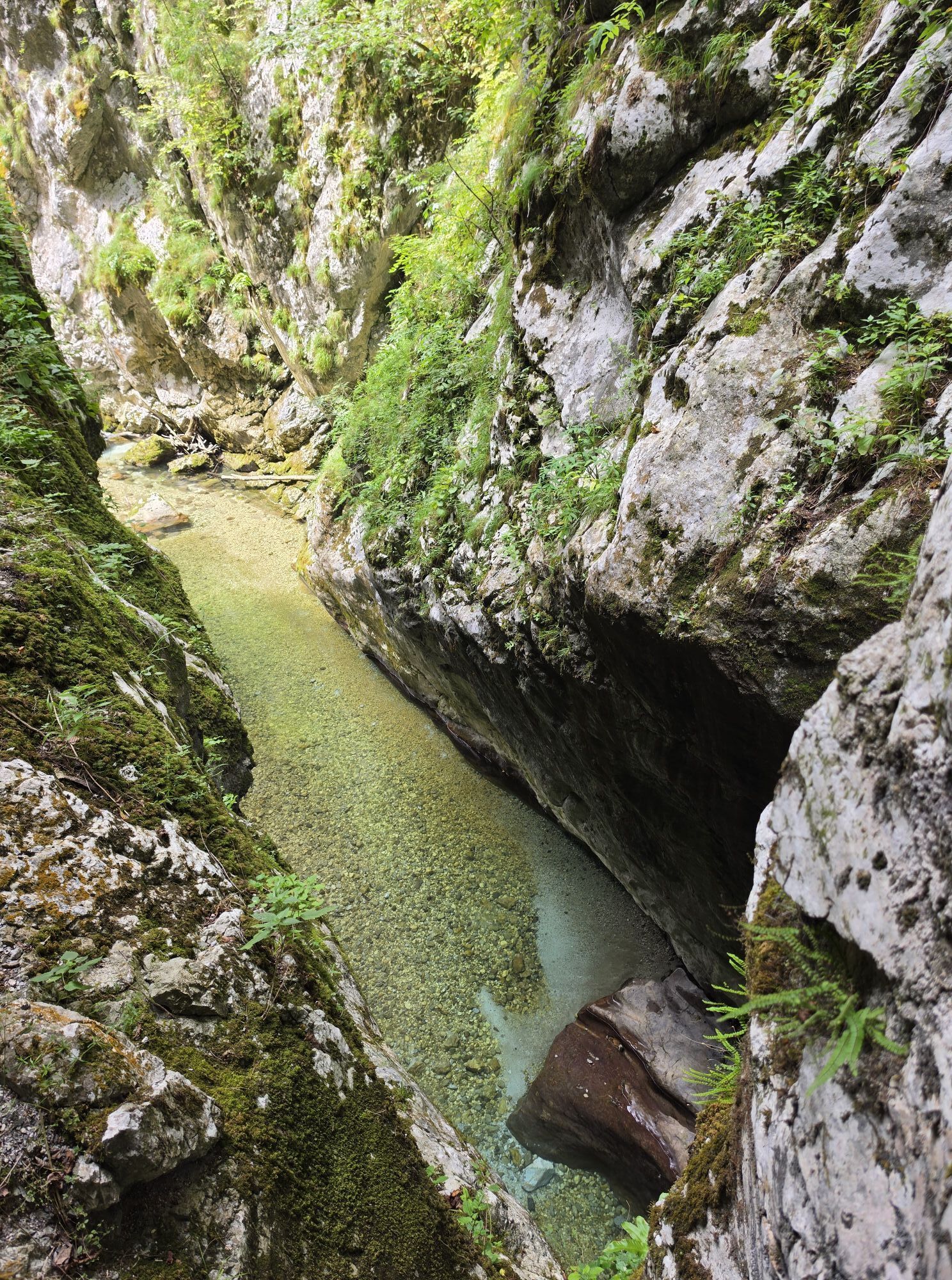
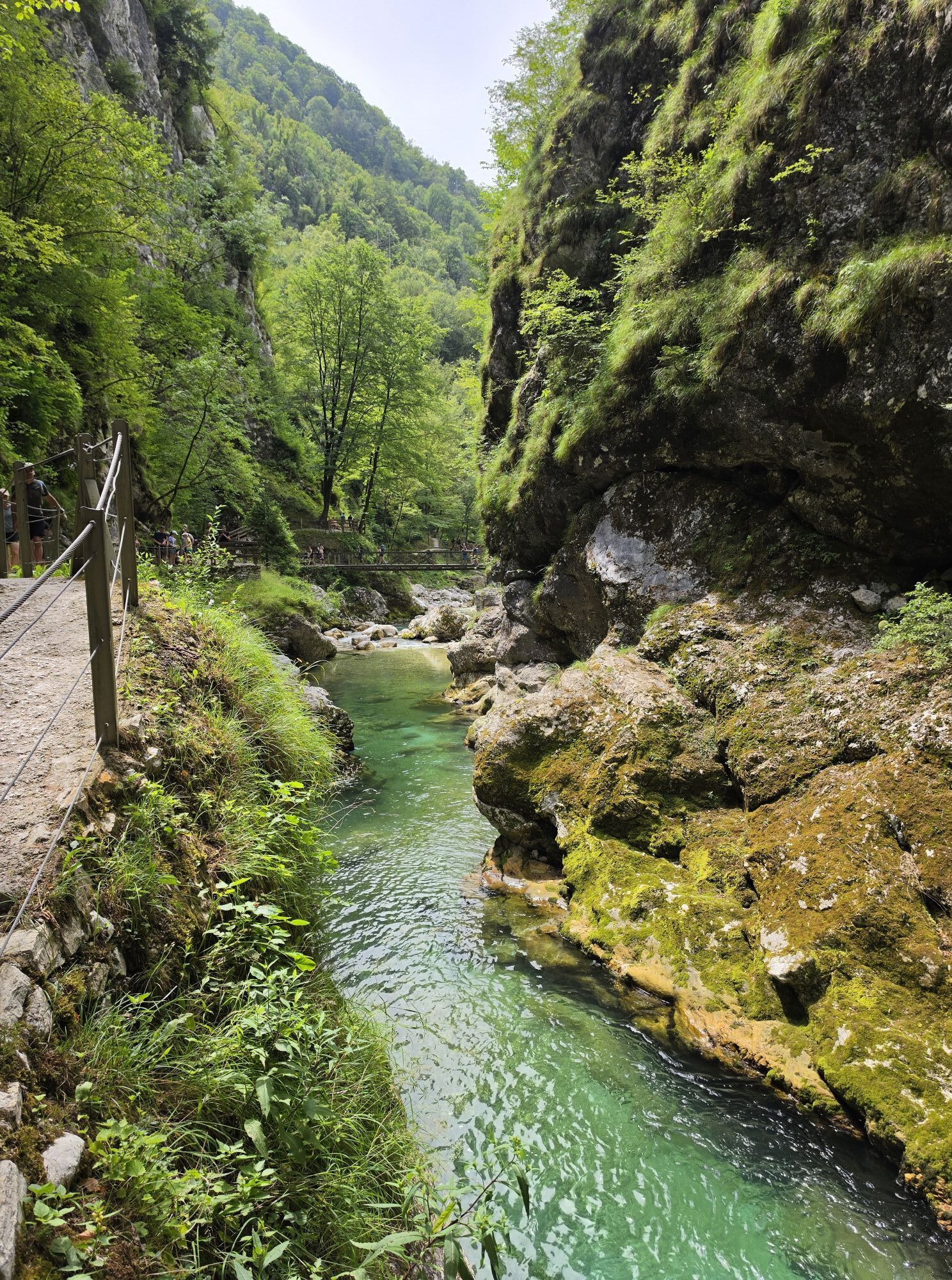
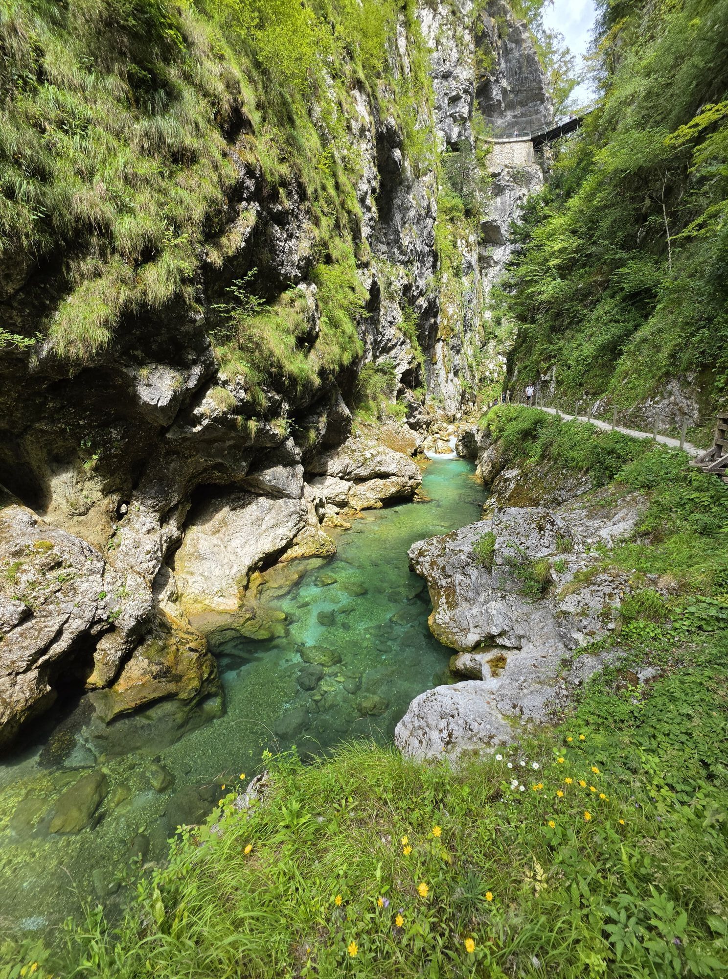
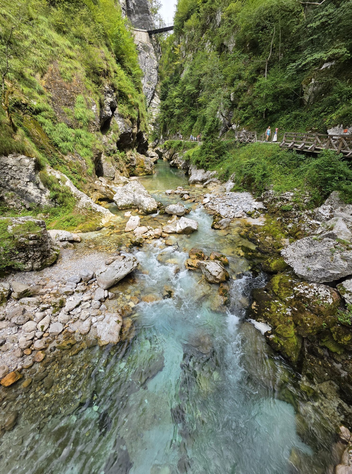
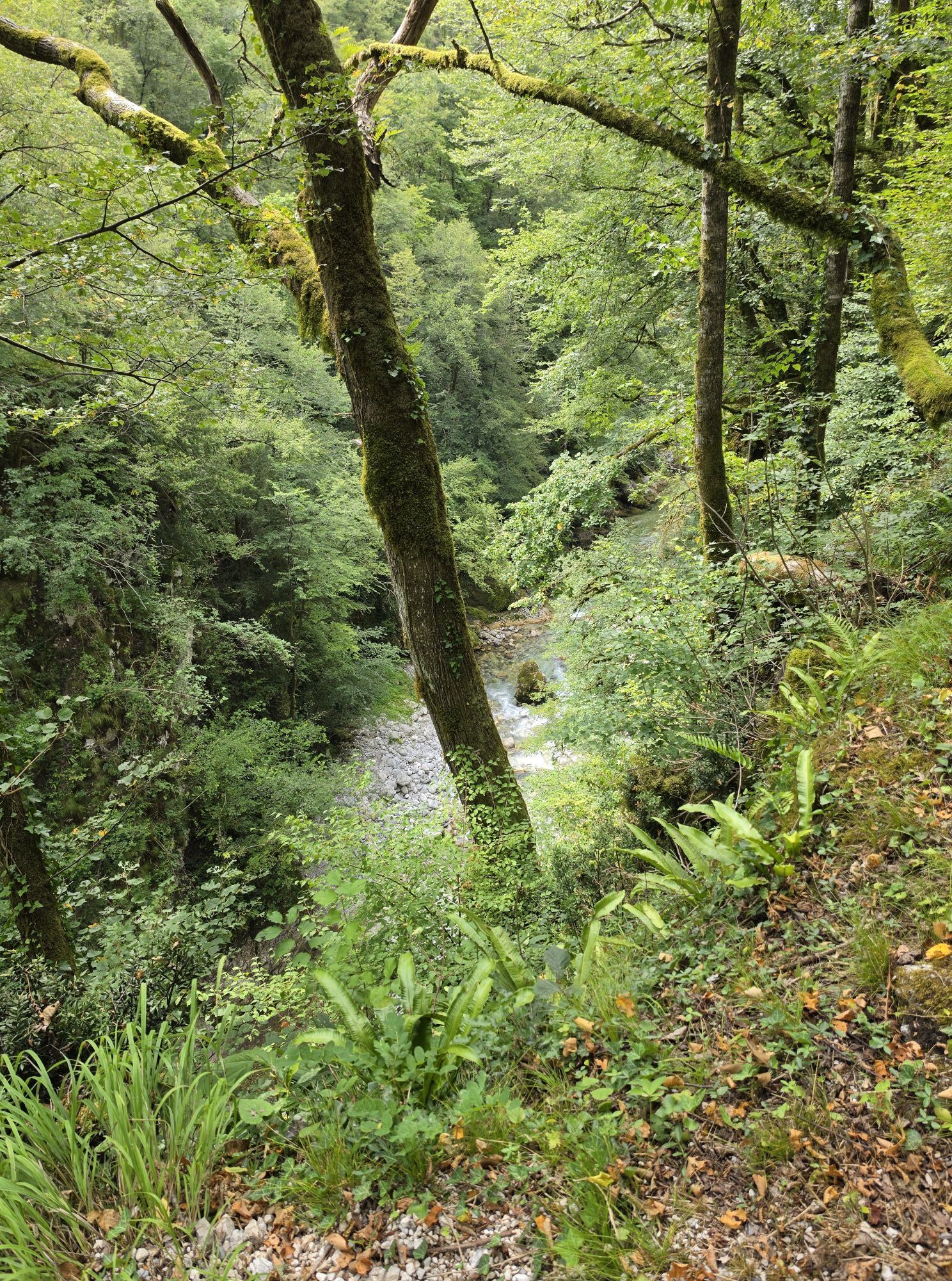

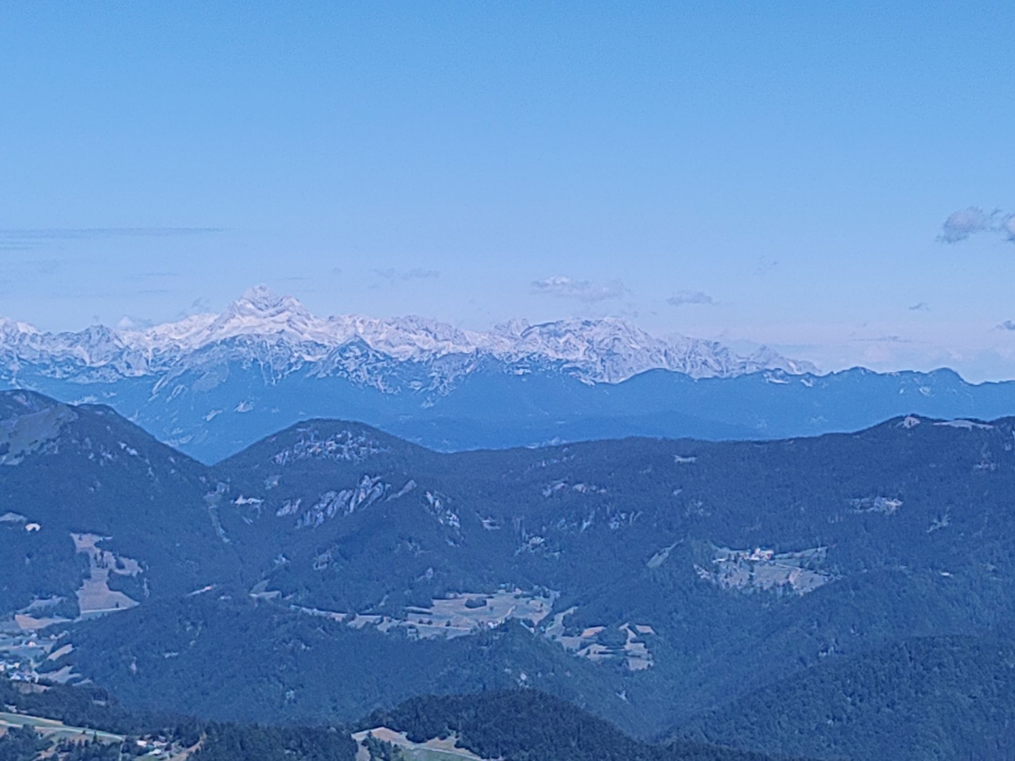
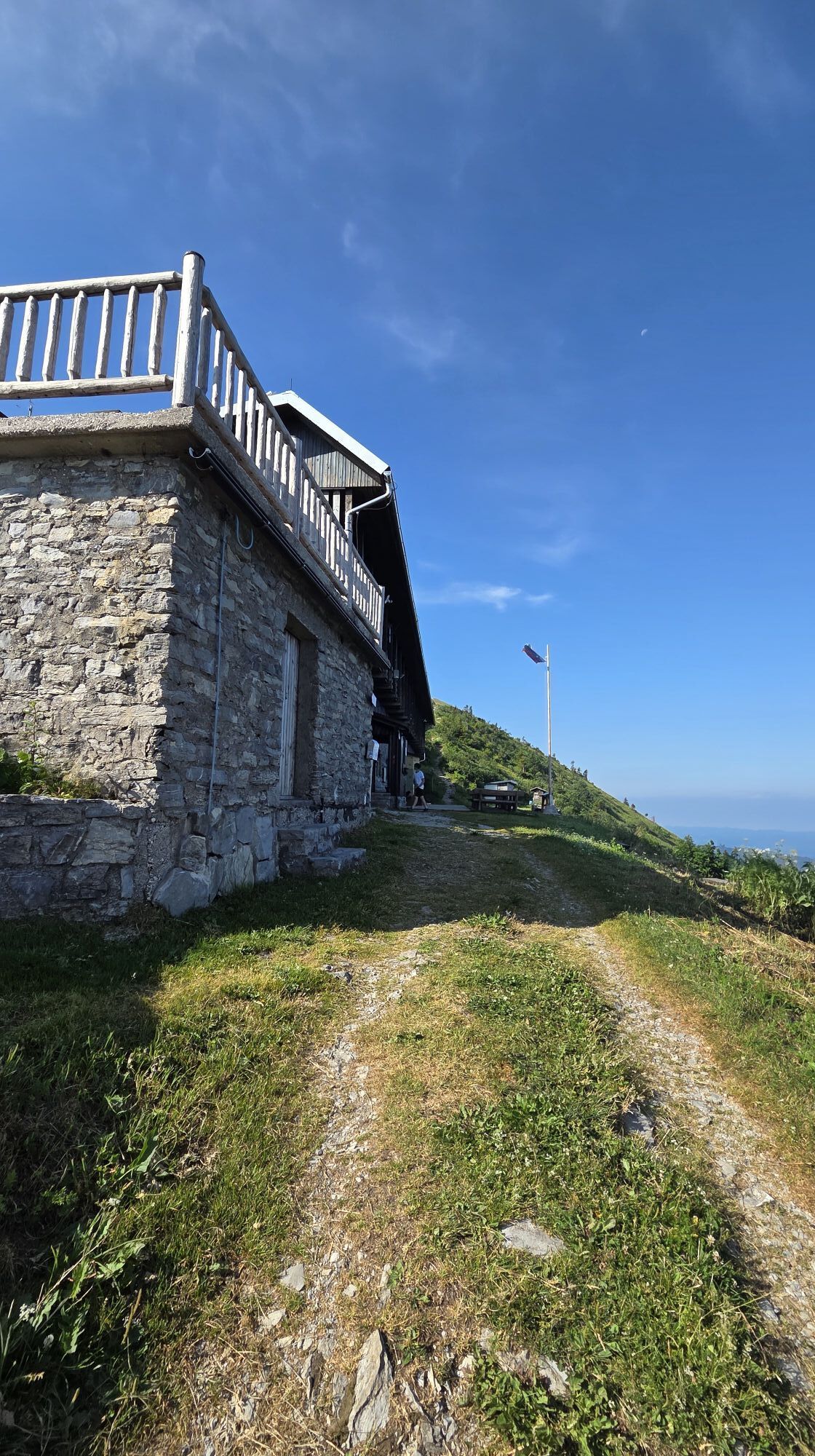
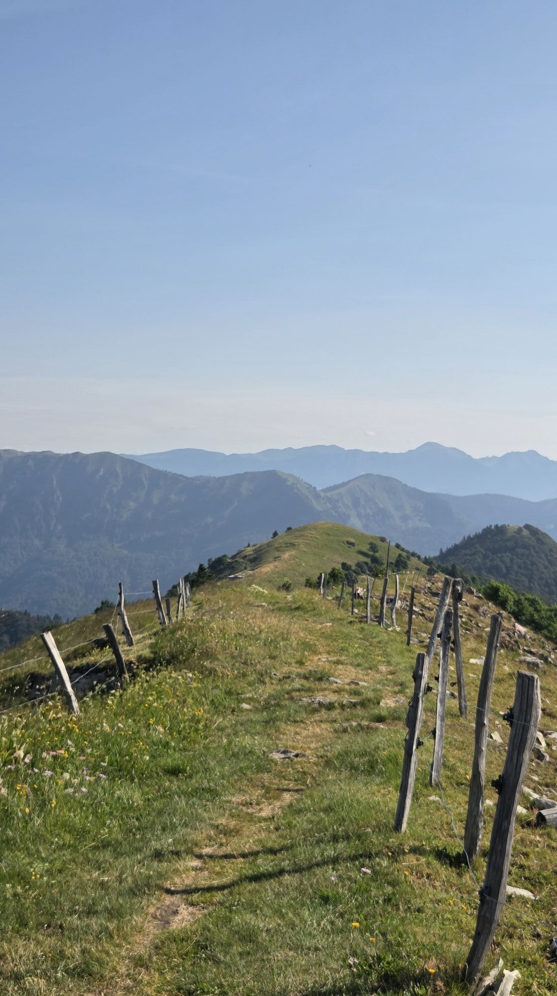
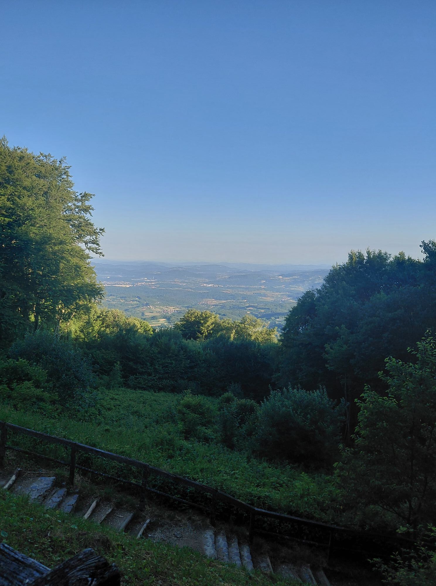
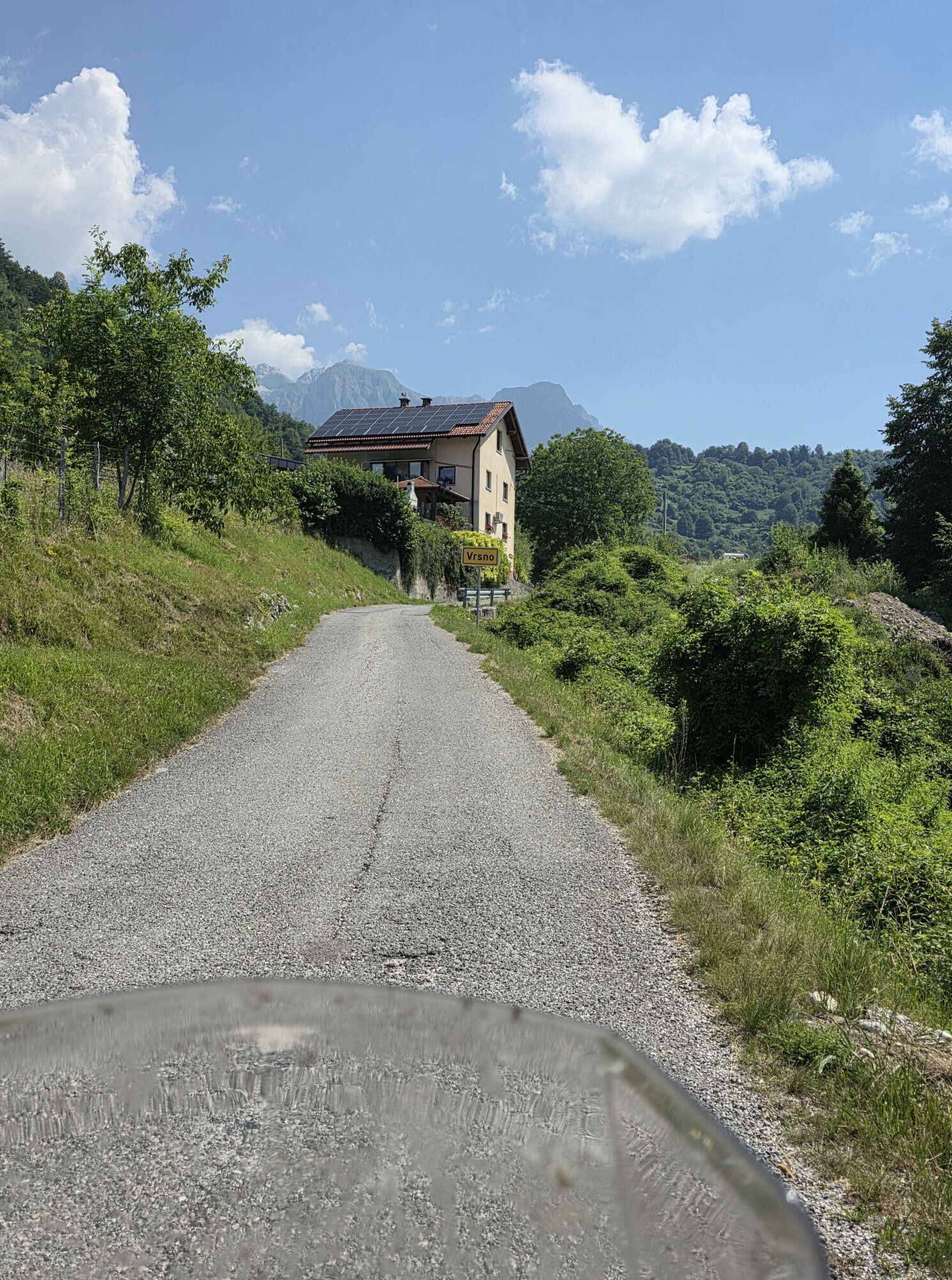
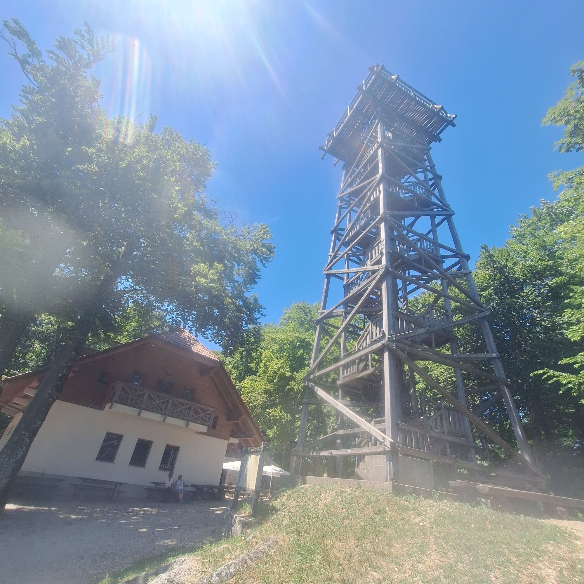
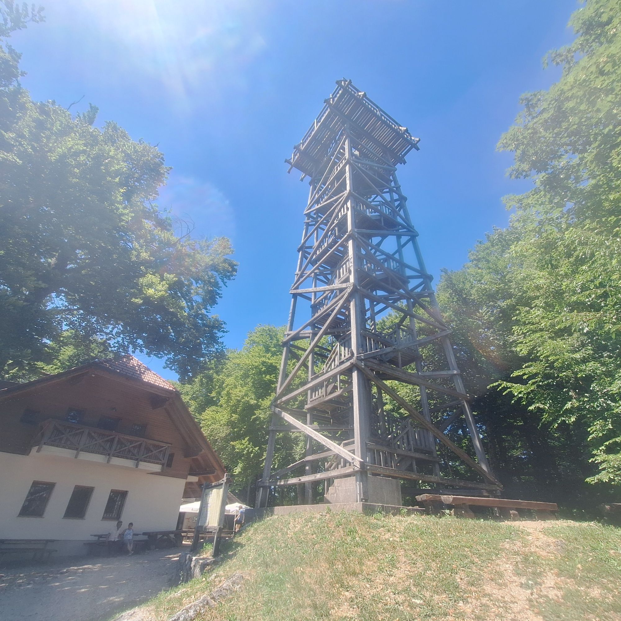
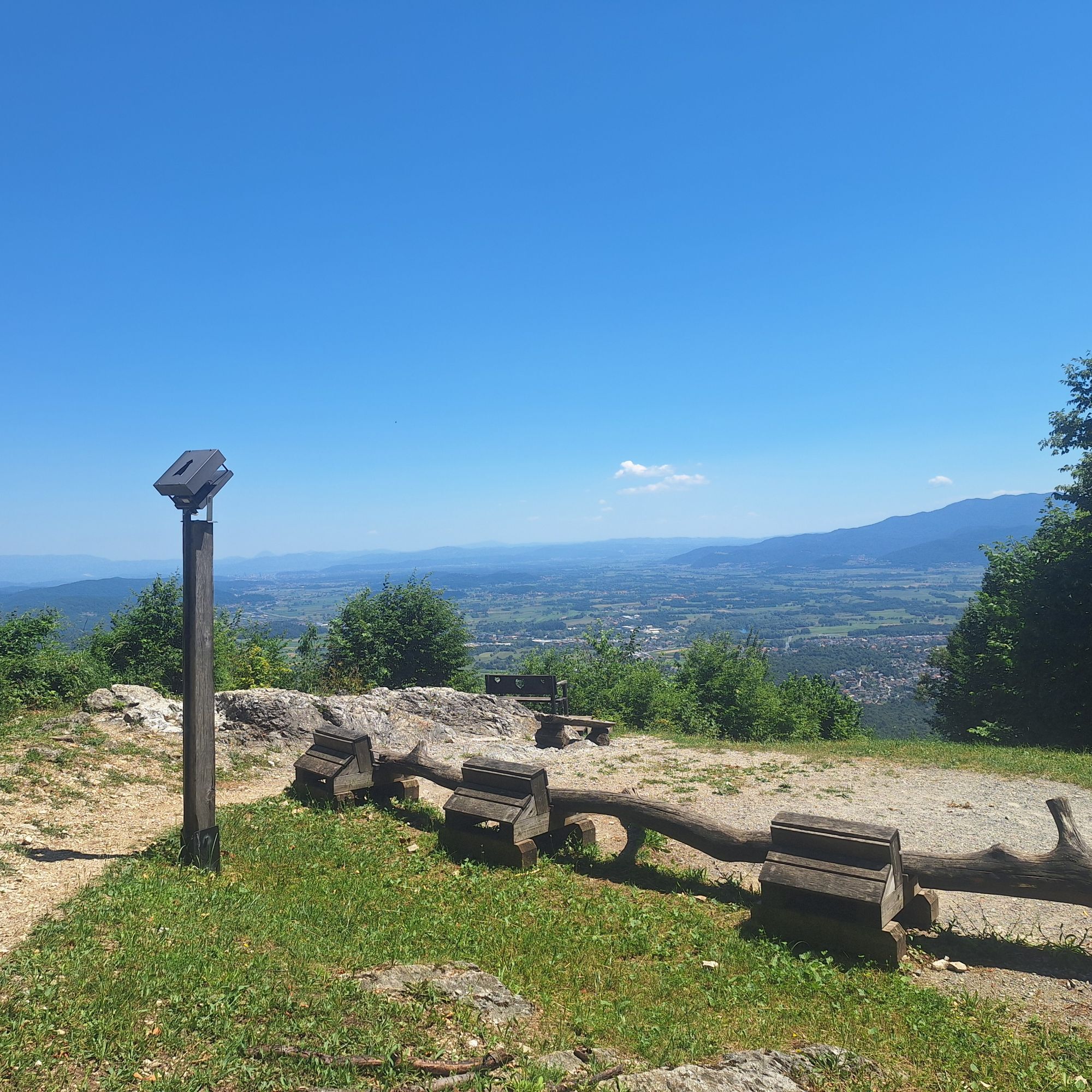
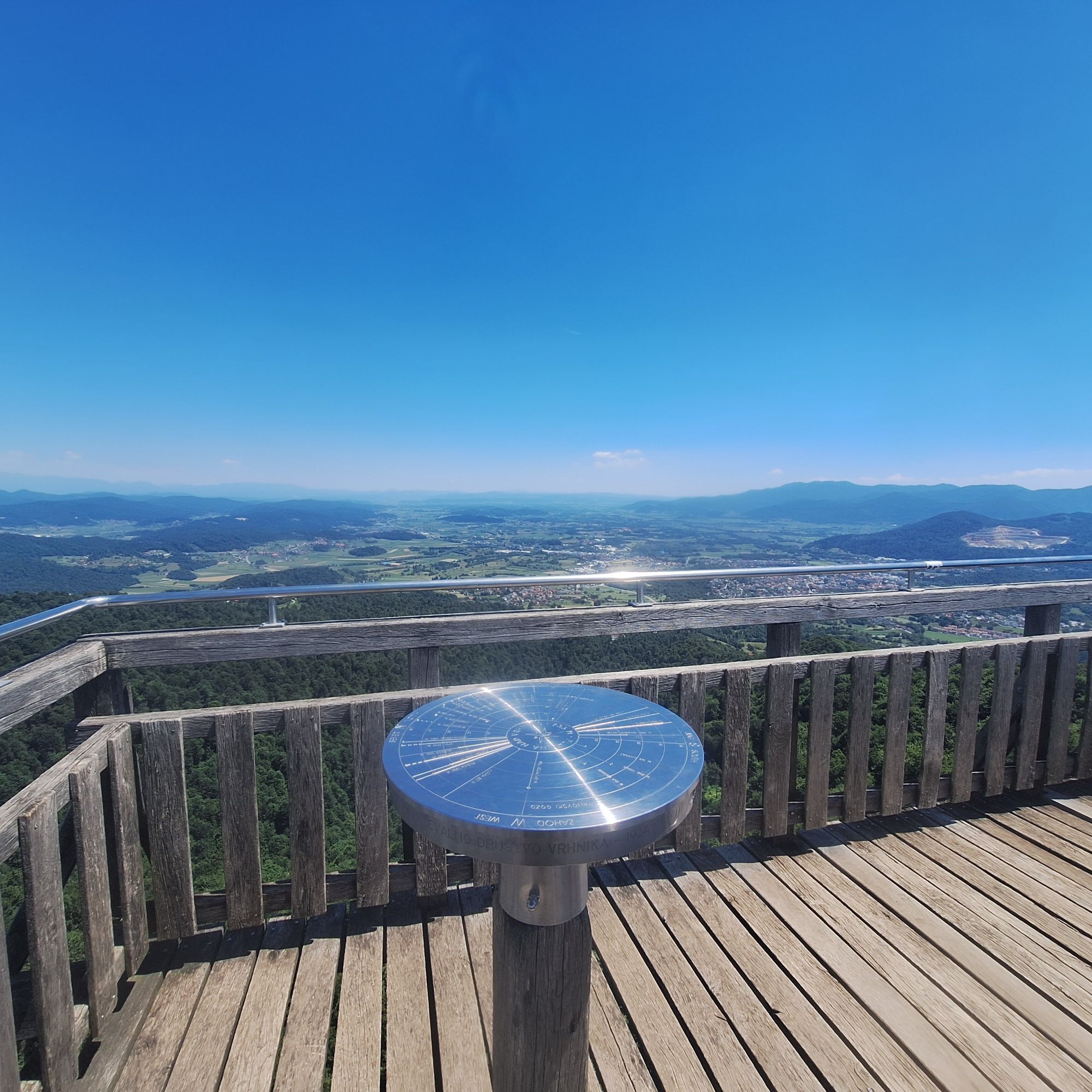
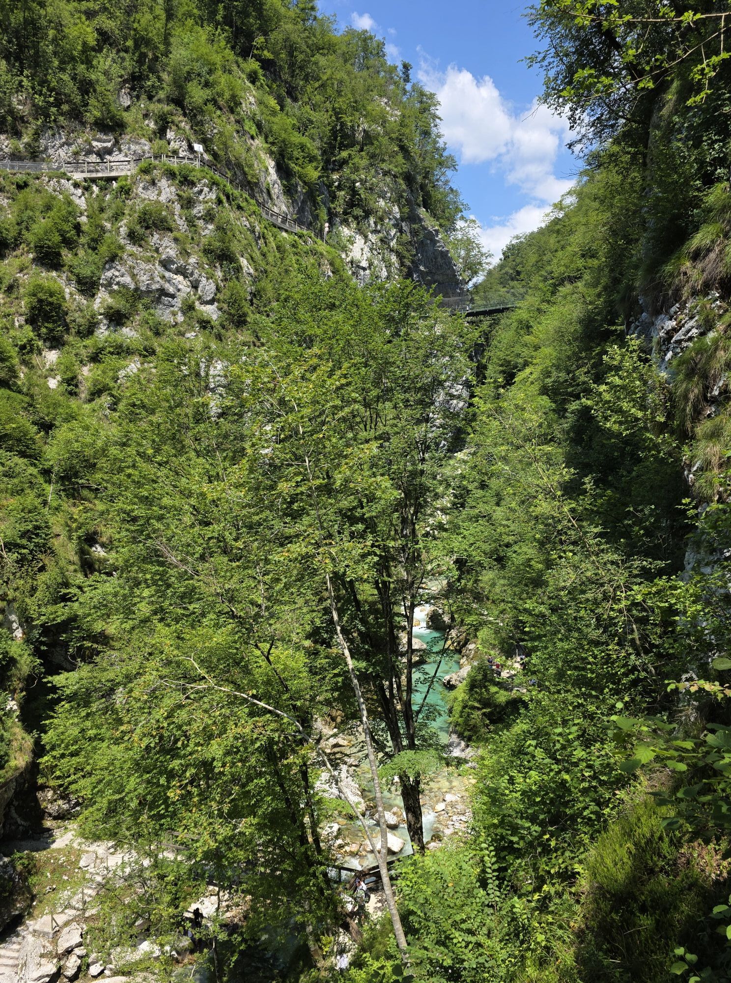
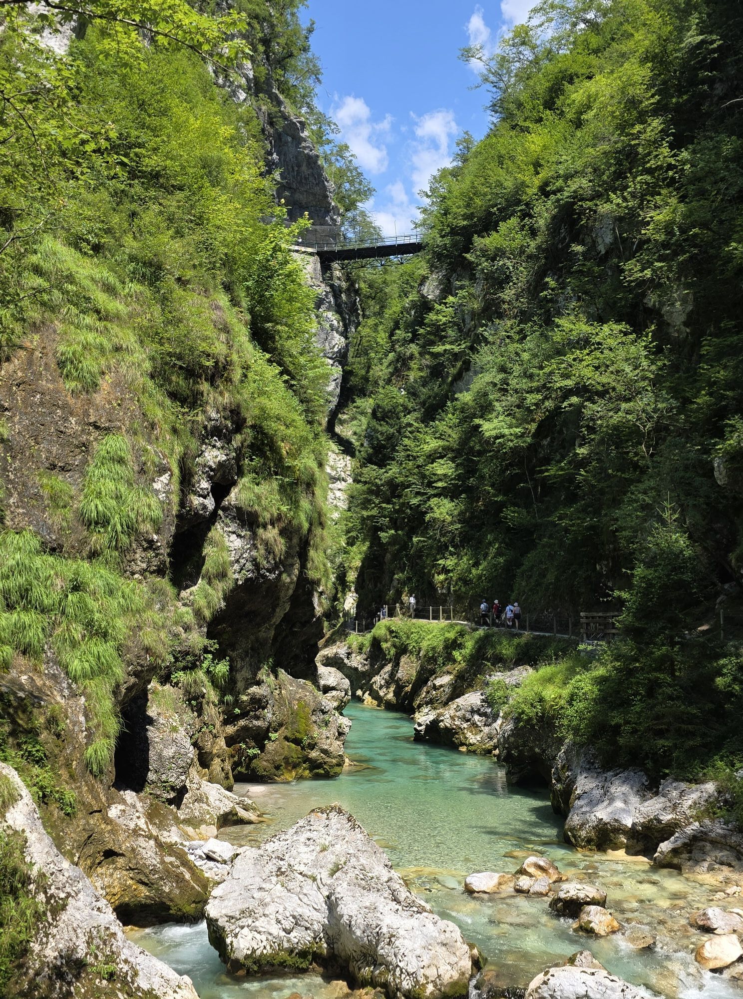
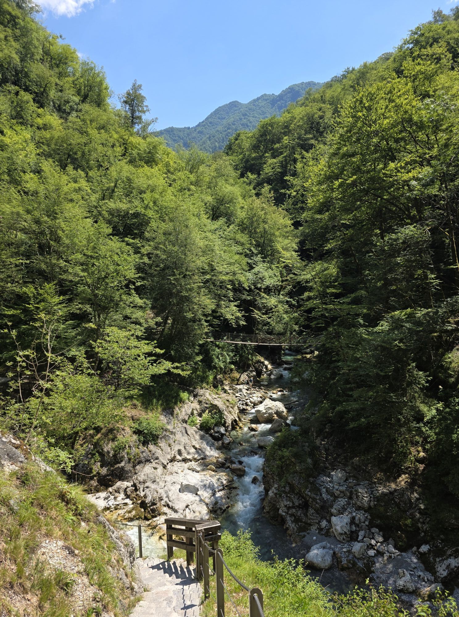
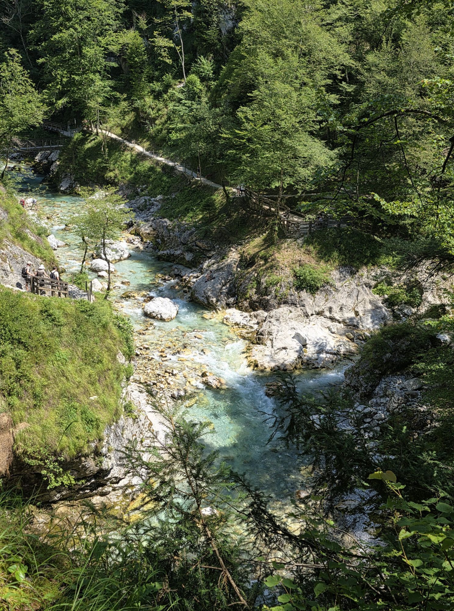
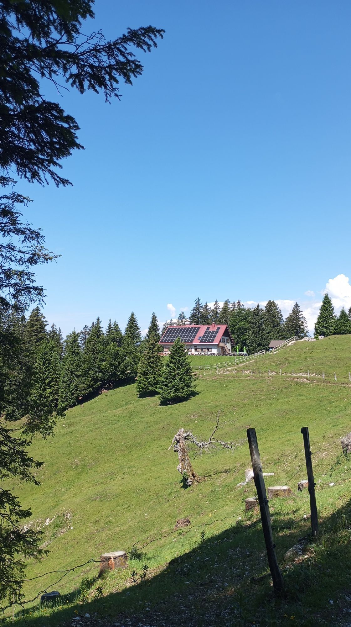
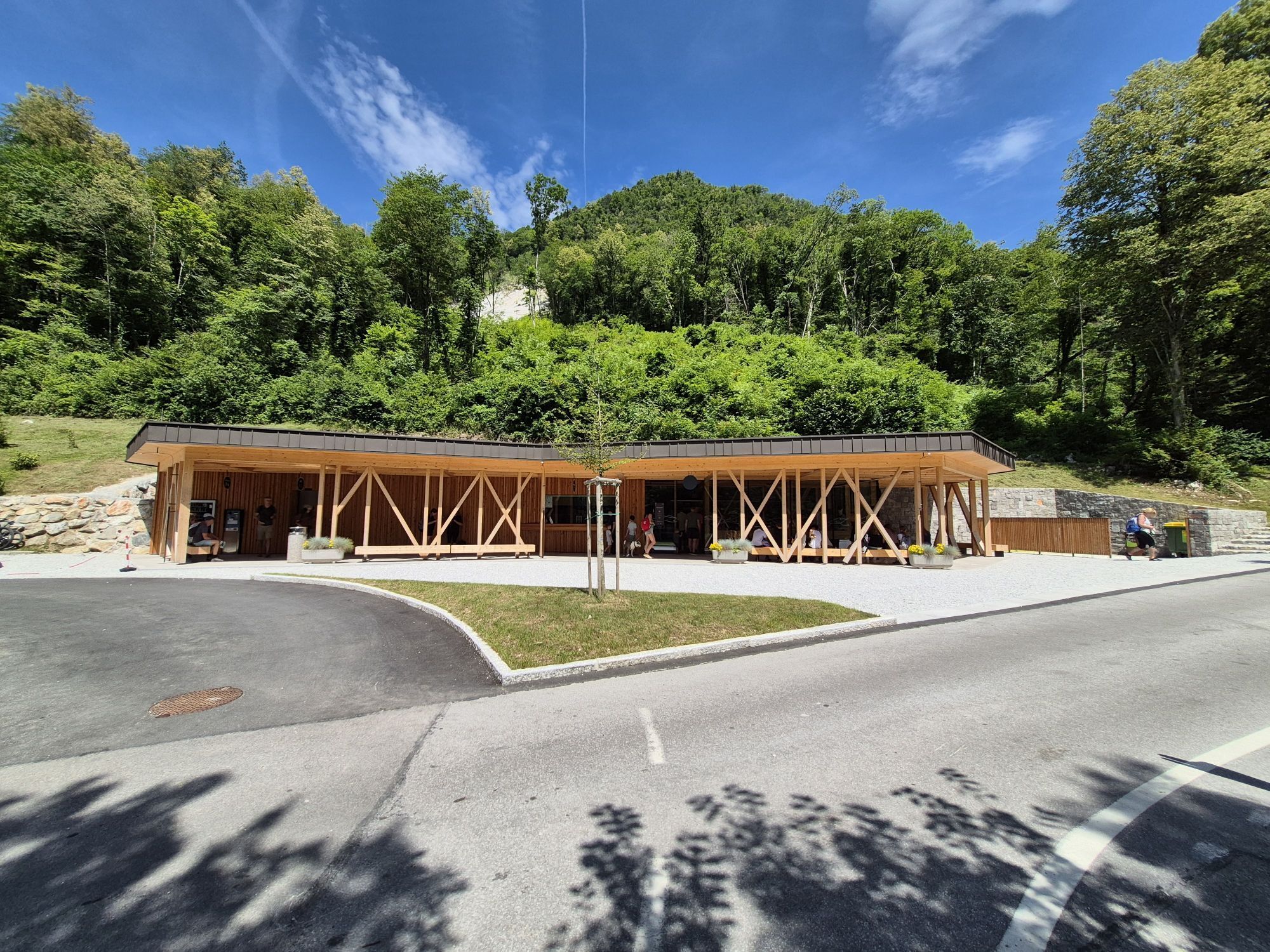
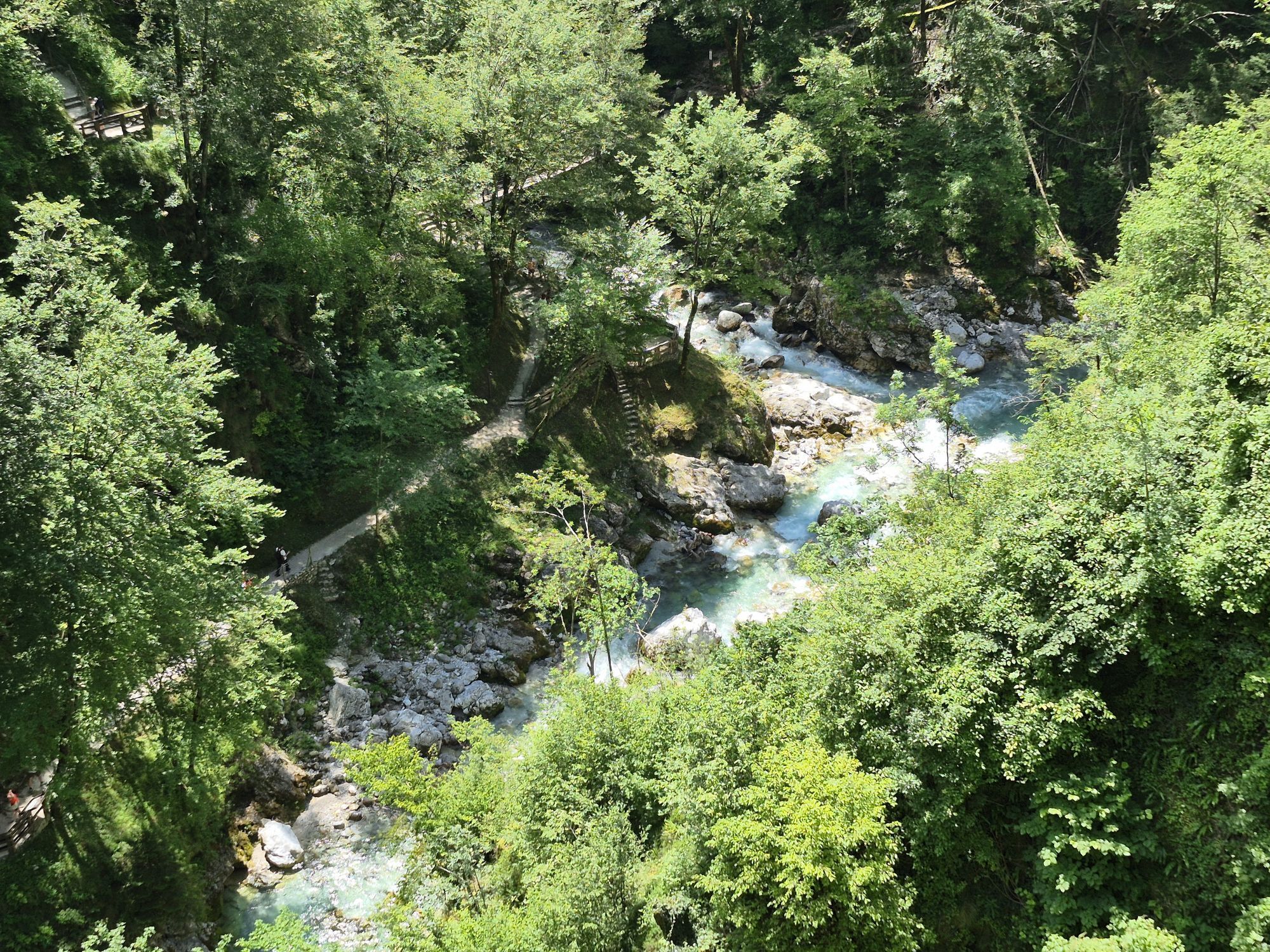
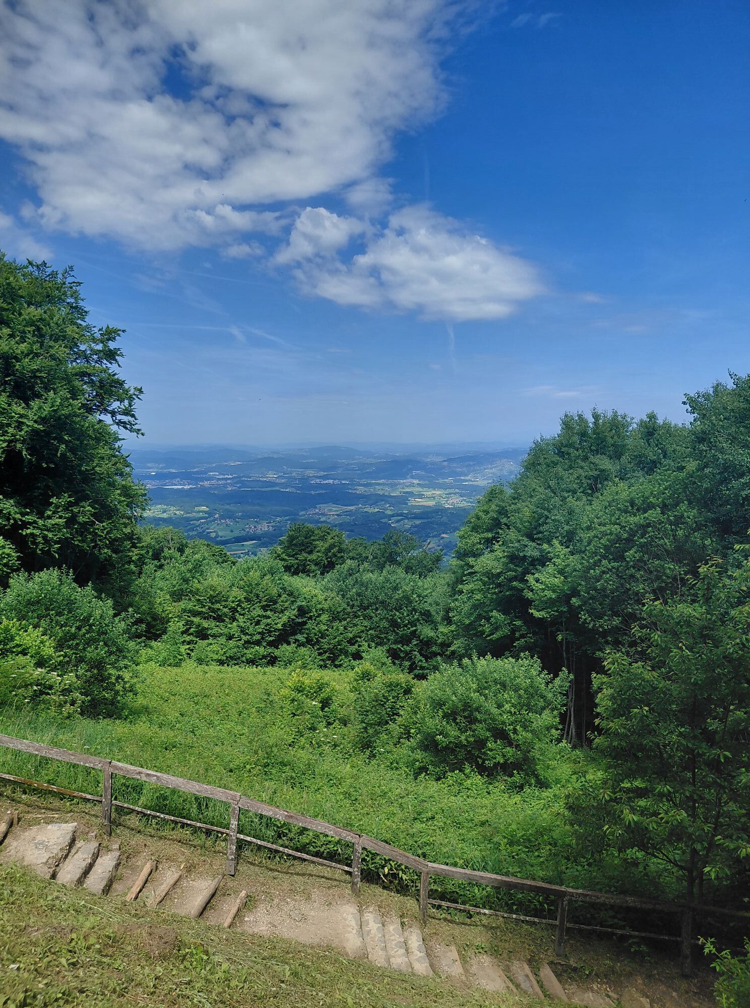
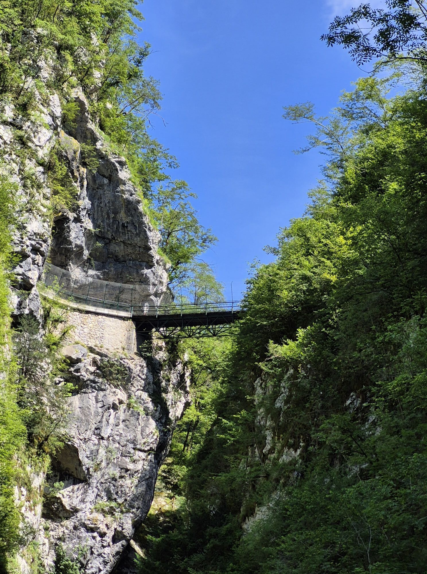
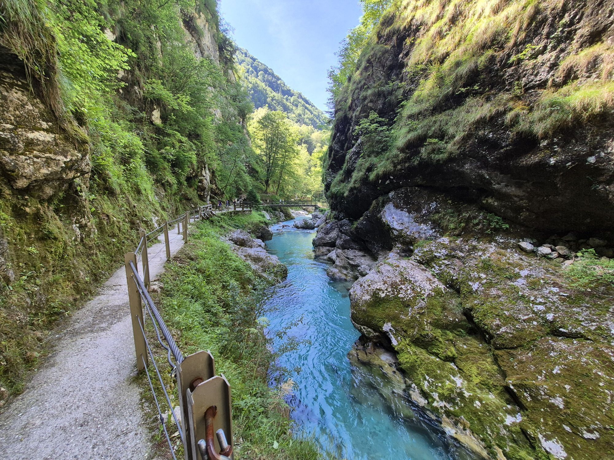
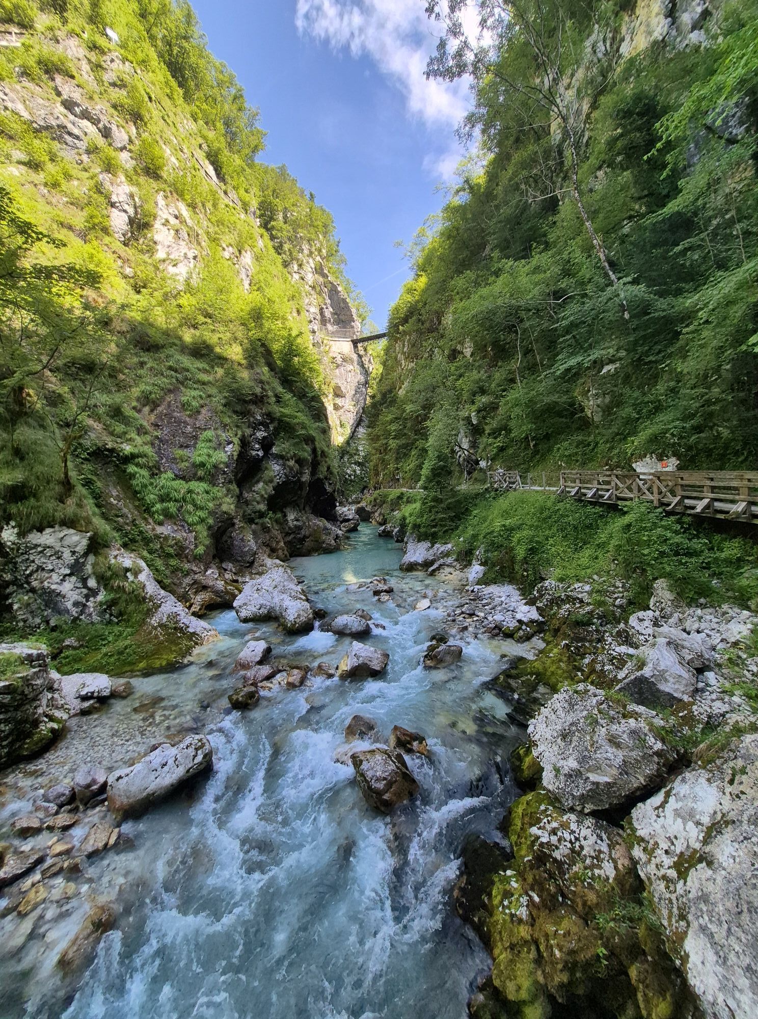
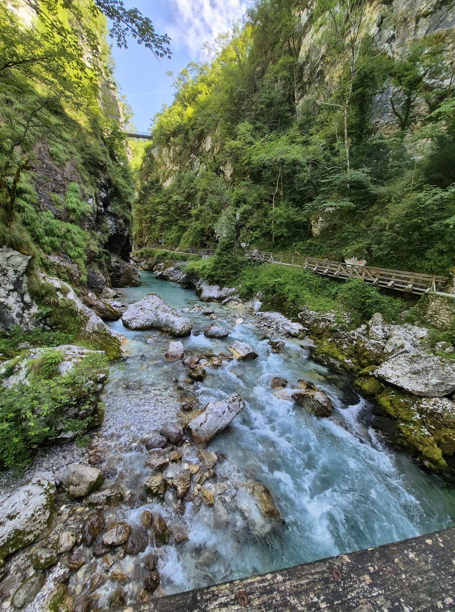
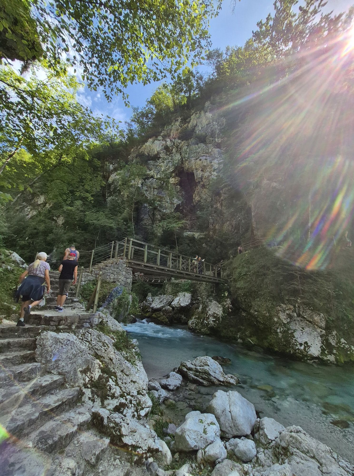
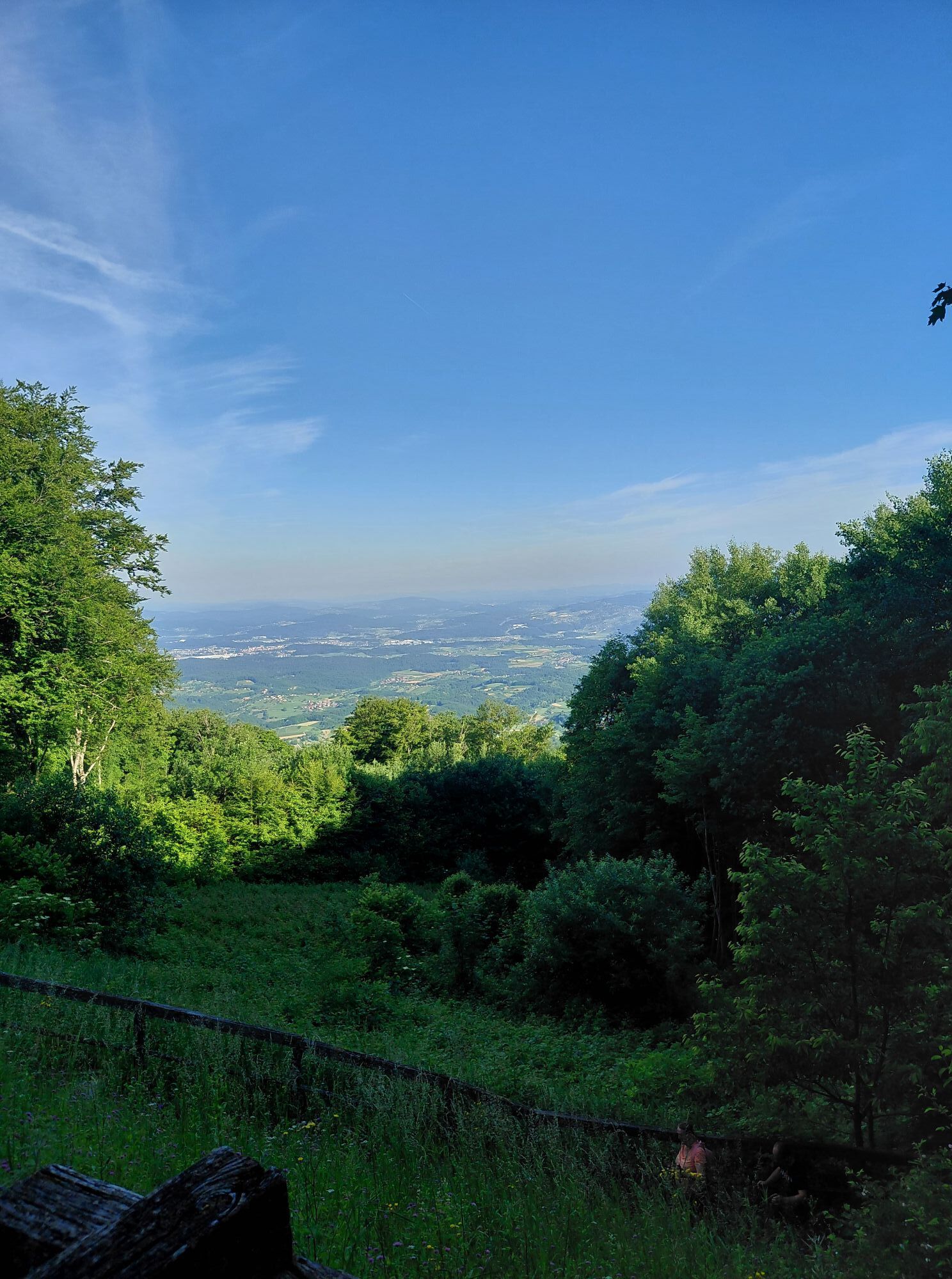
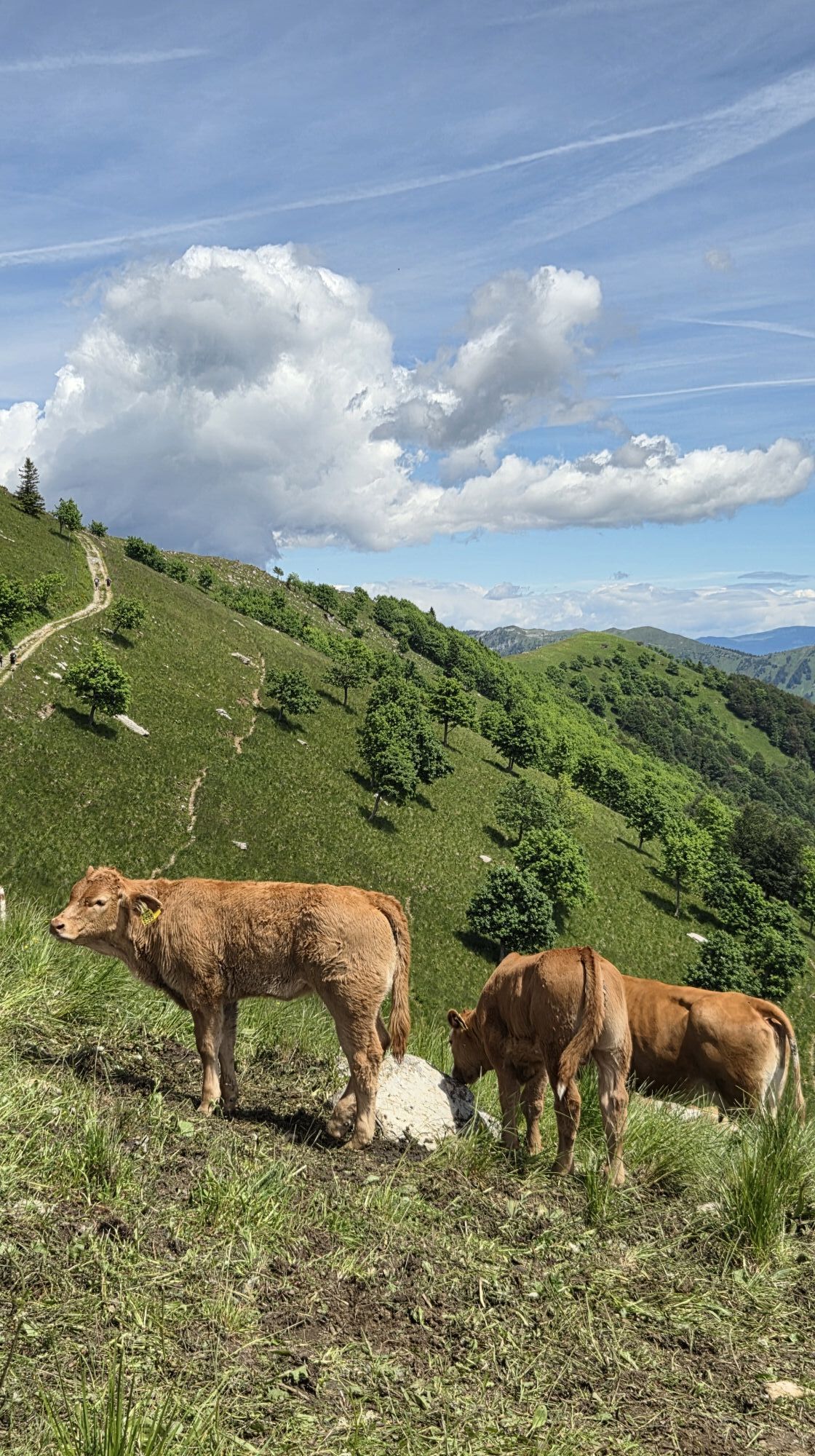
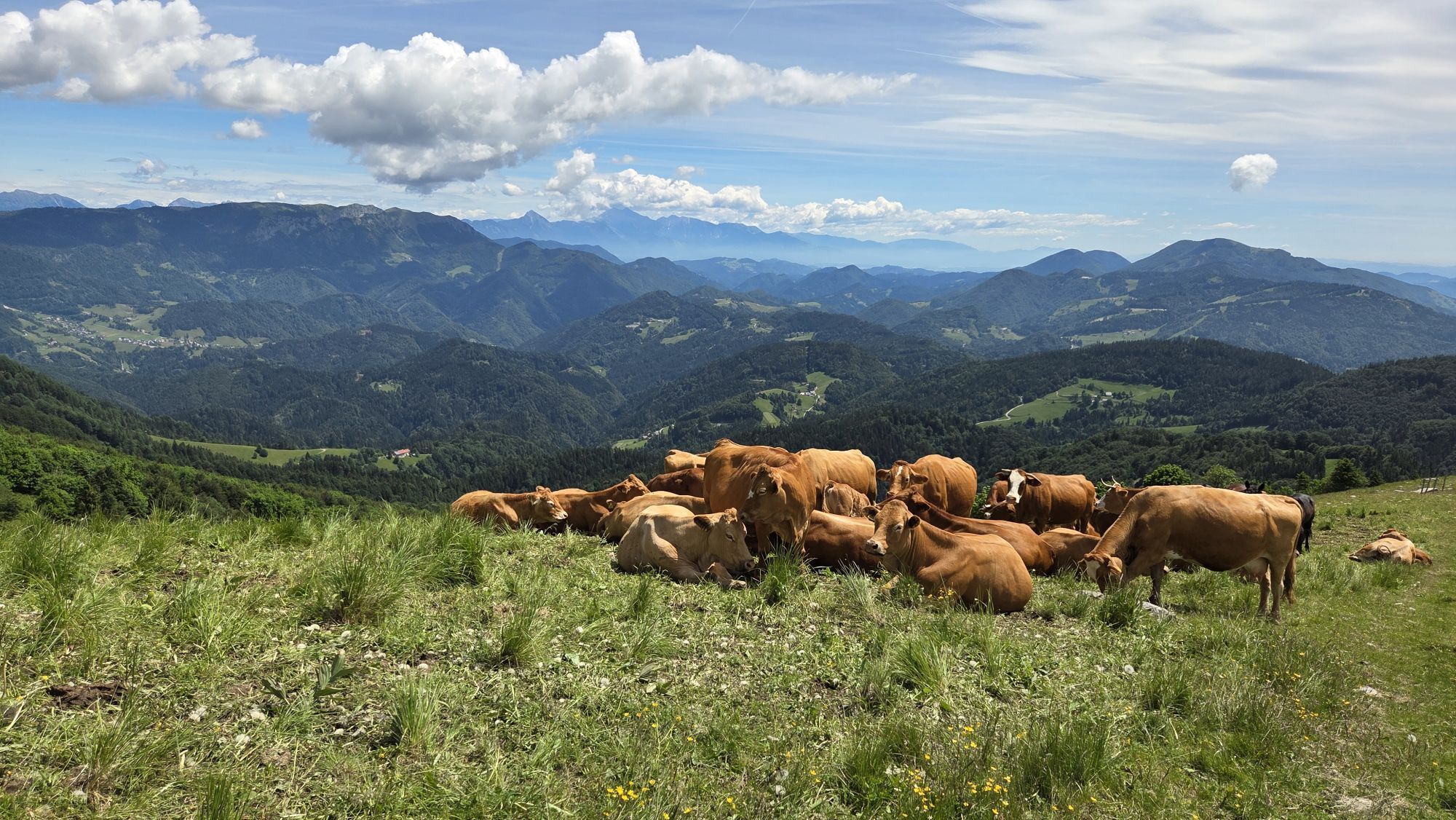

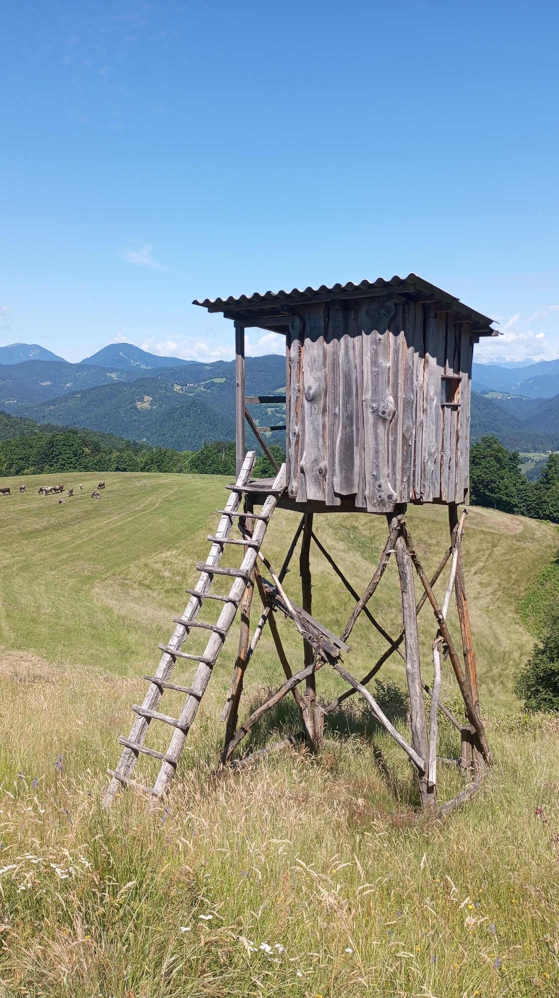
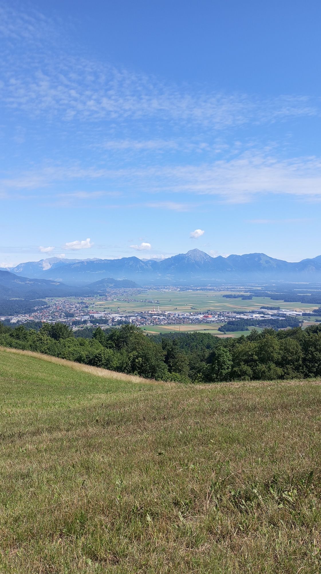
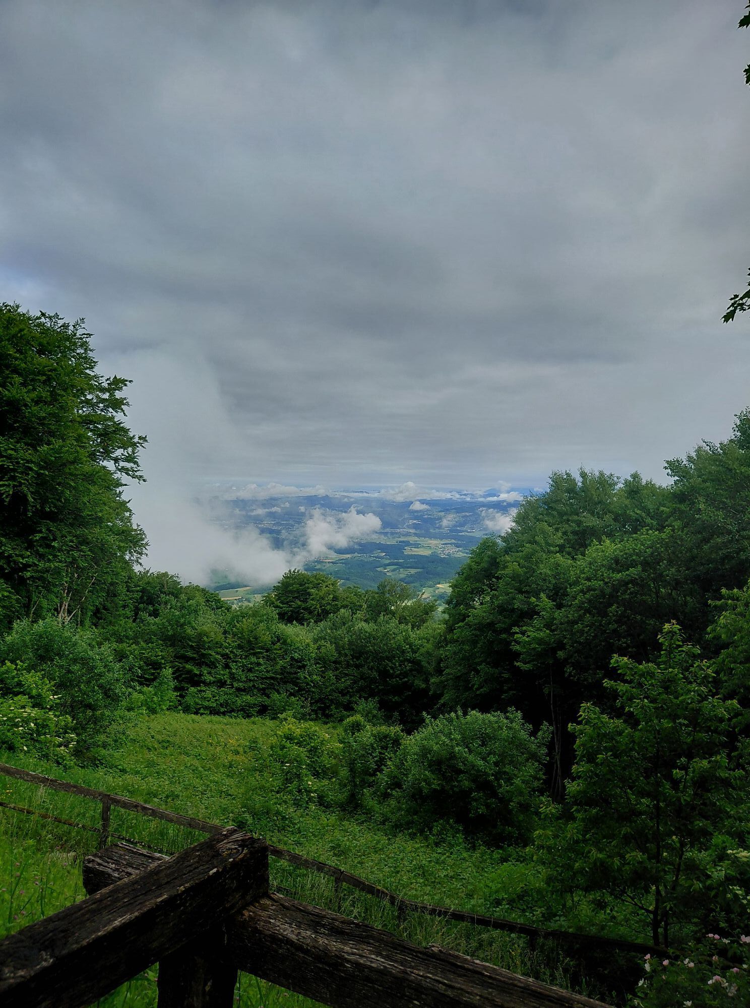
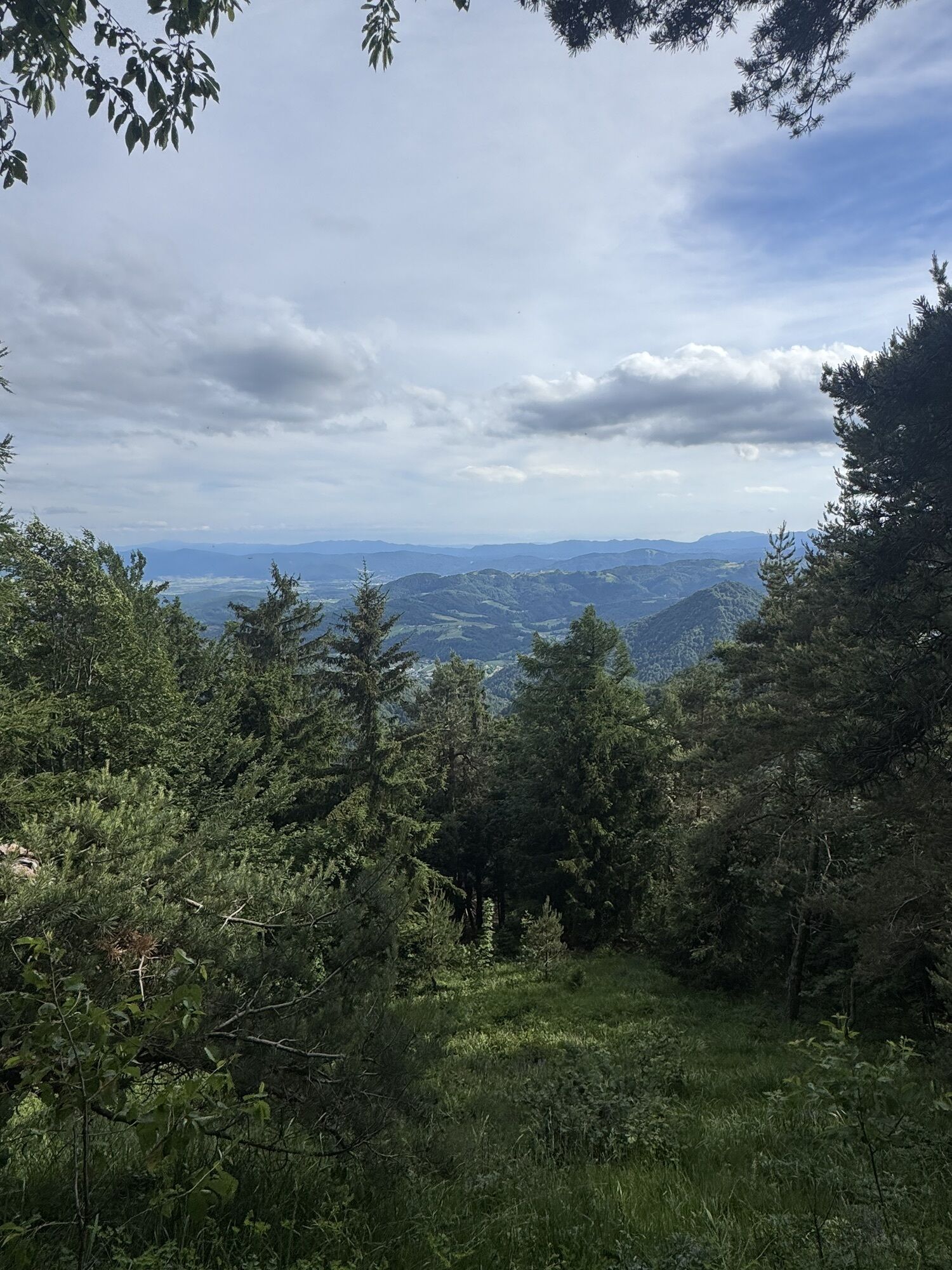
The E7 European long distance path or E7 path is one of the European long-distance paths from the Portuguese-Spanish border eastwards through Andorra, France, Italy, Slovenia and Hungary. It is projected...
The E7 European long distance path or E7 path is one of the European long-distance paths from the Portuguese-Spanish border eastwards through Andorra, France, Italy, Slovenia and Hungary. It is projected to be extended to Lisbon and into Romania, so that it reaches from the Atlantic to the Black Sea, however these stages, as well as parts of the route through Italy, are still in planning. Recently, the trail has been extended into Serbia and Bulgaria. It is a 6.070 km trail.
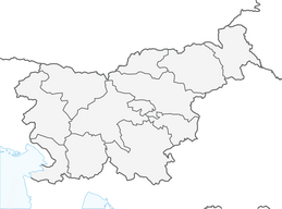
Slovenian part is around 600km long with 42 check points. The trail itself is not demanding (except the distance), it crosses the path E6 in MaÄkovec. On some parts the trail might be badly marked, however in Slovenia it is quite OK. Just follow the yellow-red marks and you should be fine, be carefull not to mistake it for the red and white mark (which is standard for normal hiking trails in Slovenia).

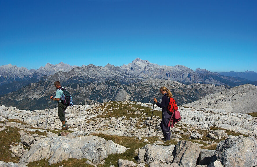

Start in RobiÄ (border with Italy)
Local trails: RobiÄ – Kobarid – Tolmin – Petrovo Brdo – Porezen – Blegoš – Škofja Loka – Vrhnika – PokojišÄe – MaÄkovec – Dolenjske Toplice – Gorjanci – Pleterje – Krško – Podsreda – PodÄetrtek – Rogaška Slatina – Rogatec – DonaÄka gora – Ptujska Gora – Podlehnik – Borl – Podgorci – Ormož – Jeruzalem – Ljutomer – Banovci – Moravske Toplice – KanÄevci – Gornji Petrovci – Hodoš
Last village is Hodoš (border with Hungary)
Long distance hiking gear with enough water to last you a day of walking.
Study each stage carefully regarding the supply points and sleeping arrangements.
Getting to the starting point is easy by car or by bus in the bigger villages/cities in the vacinity.
Public transport available to all bigger cities or villages along the way.
Parking is available either payable or free
In some regions there are fewer huts, so make sure you find supply points in advance.
The documentation on the trail is difficult to come by, however the trail is marked and gpx is available.
Získajte prehľad
Vždy naživo na mieste s viac ako 9 500 webovými kamerami. bergfex Ako používateľ Pro si teraz môžete pozrieť príslušné webové kamery pre mnohé zájazdy v aplikácii zájazdy z. Môžete si tak priamo prezerať aktuálne podmienky.
Obľúbené výlety v okolí
-
3,5
Trdinova heart trail Gorjanci
strednáTematická trasa 10,5 km -
5,0
Cycling trail from Novo Mesto to Dolenjske Toplice
svetloCyklistika 14,9 km -
Via Bela Krajina
ťažkéDiaľková cyklotrasa 184,1 km -
5,0
Gabrje - Planinska koča pri Gospodični - Logarjev kogel - Sveta Gera / Trdinov vrh
strednáTuristika 13,2 km -
Rudolf trail
strednáMountainbike 38,4 km -
5,0
Mach heritage trail
strednáTuristika 9,99 km -
Bike around Novo Mesto
strednáMountainbike 34,8 km -
Cycling trail Novo Mesto - Žbure
strednáCyklistika 18,6 km -
To the Šeruga farm
svetloTuristika 6,88 km -
Over the 7 hills of Novo mesto
svetloTuristika 18,9 km
Turistika a stopovanie


Nenechajte si ujsť ponuky a inšpiráciu na ďalšiu dovolenku
Vaša e-mailová adresa bol pridaný do poštového zoznamu.





