







SOČA VALLEY I5: Tolmin - Ljubinj - Petrovo Brdo
Úroveň náročnosti: 3
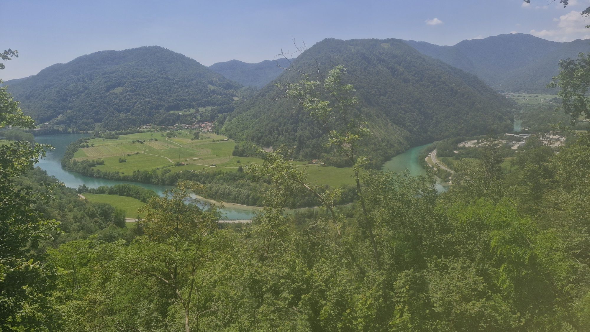
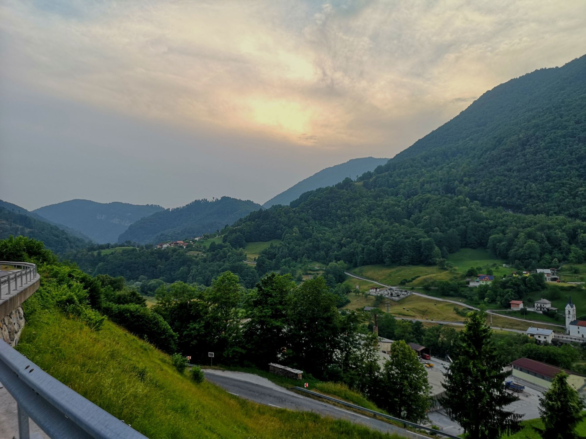
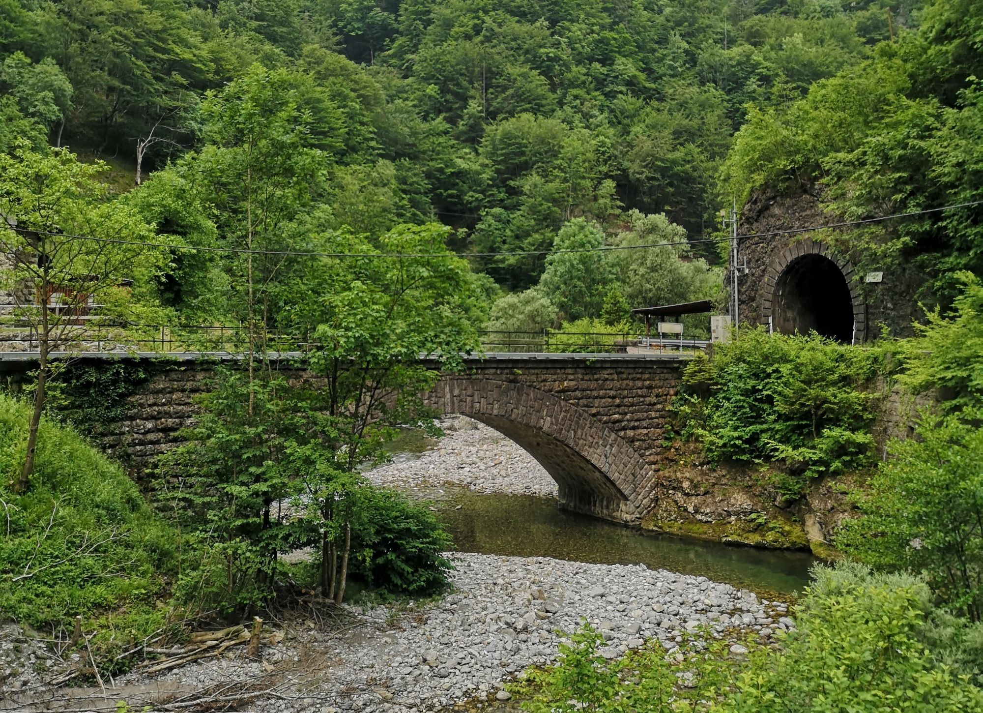
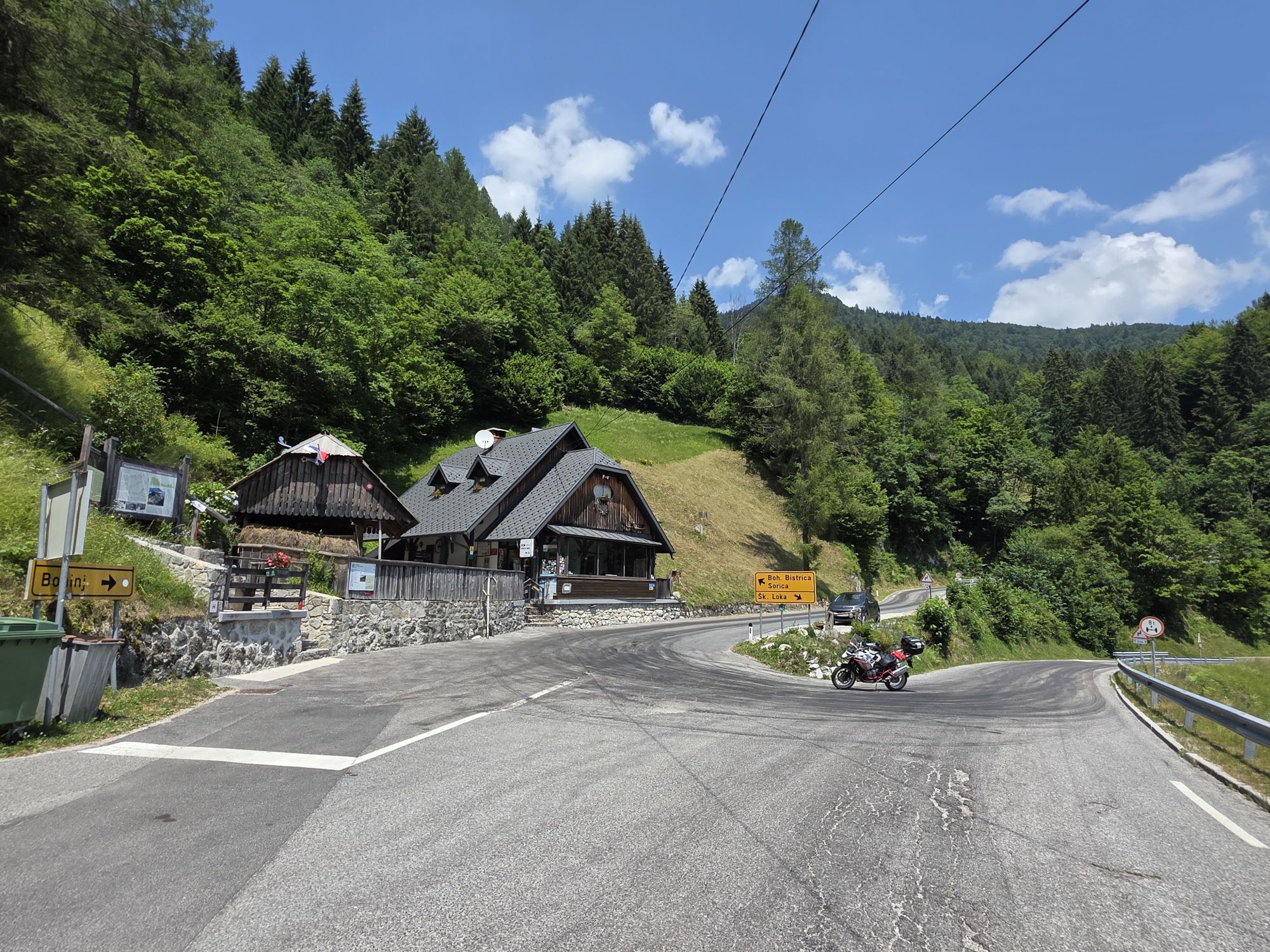
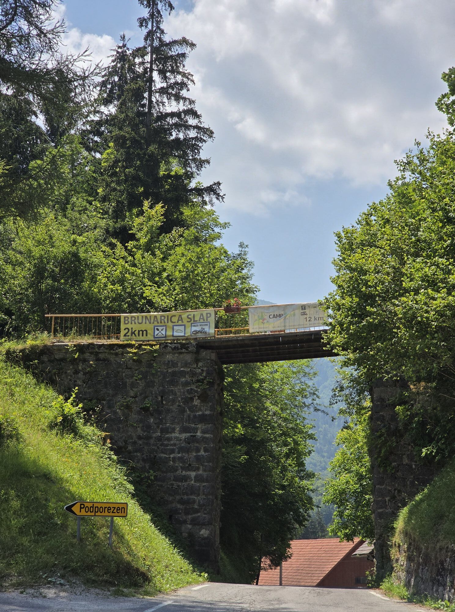
From the Tolmin Basin, we will start the route alongside the Soča river, then head to the villages above the Tolmin Basin and soon descend into the narrow Baška grapa, a quiet, somewhat forgotten valley,...
From the Tolmin Basin, we will start the route alongside the SoÄa river, then head to the villages above the Tolmin Basin and soon descend into the narrow Baška grapa, a quiet, somewhat forgotten valley, past Grahovo, where the first Slovenian sound feature film Na svoji zemlji was made. In Podbrdo, we will join the Julian Bike route. The Grappa valley, which mostly ascends, is mostly shaded, less trafficked compared to others, and especially suitable for cycling.

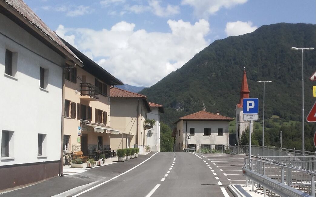
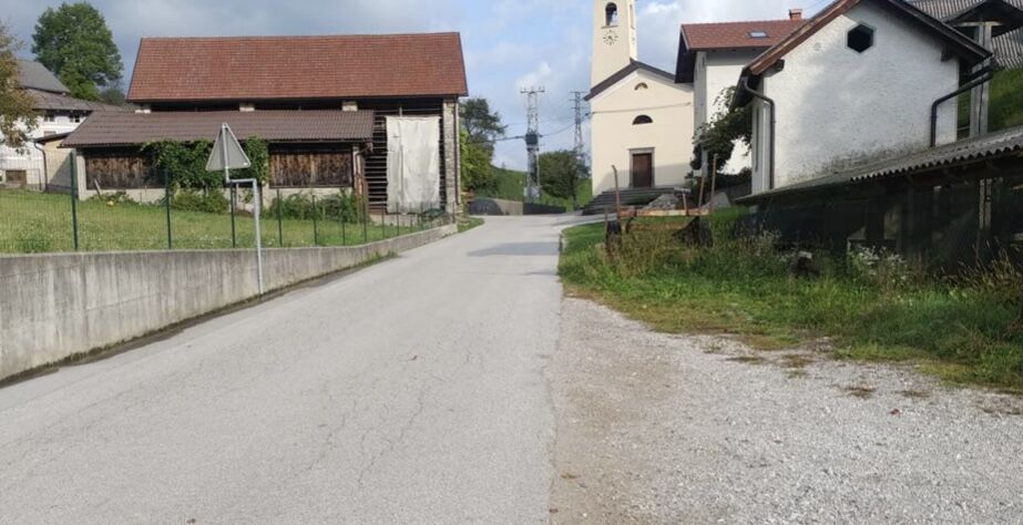
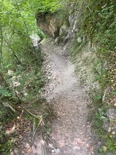
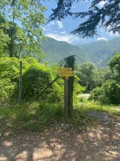
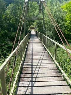

In Tolmin, we turn out of the center to the south, onto Šolska Street, and continue just under a kilometer to the confluence of SoÄa and Tolminka. Before turning right towards the closed hotel, we go left down a narrow path and below on the bank of Tolminka turn left again to cross the bridge over the river. On the other side of the bridge, we follow the signs for the Alpe-Adria trail. Soon a small landslide will stop us, which must be crossed on foot, then follows a nice ride on a well-maintained gravel path along the right bank of the SoÄa. After one and a half kilometers, the gravel path will lead us to asphalt, where we will turn sharply left back towards Tolmin, but already after 100 meters, we turn right into a climb on the asphalt road towards Prapetno. We face a 3.2 km moderate ascent. Above Prapetno, we join the main road from Tolmin - turn sharply right, then follow the main road all the way to Kneža, which runs below us in the Baška grapa valley. At the church in Kneža, we join the main road through Grappa. Here we turn left. From here to Podbrdo, through Grahovo and Hudajužna, it is no longer possible to get lost, as the only road leads through the valley. In Podbrdo, we join the Julian Bike trail, which joins us from the right.
Technically flawless bike (road, gravel, XC or all-mountain)
Helmet, gloves, sunglasses
Food and drink from the backpack
Spare inner tube, pump, multitool, first aid
Personal document, health insurance card, mobile phone and/or navigation device, map of the area
3
Získajte prehľad
Vždy naživo na mieste s viac ako 9 500 webovými kamerami. bergfex Ako používateľ Pro si teraz môžete pozrieť príslušné webové kamery pre mnohé zájazdy v aplikácii zájazdy z. Môžete si tak priamo prezerať aktuálne podmienky.
Obľúbené výlety v okolí
-
4,5
Roundthelake
svetloTuristika 11,4 km -
3,9
Tolminka Klamm
svetloTuristika 1,90 km -
JULIANA TRAIL – overall tour
ťažkédiaľková pešia trasa 270,3 km -
Rond het meer van Bohinj
svetloTuristika 14,4 km -
5,0
JULIANA TRAIL: stage 7 Stara Fužina - Bohinjska Bistrica
strednáTuristika 11,4 km -
4,0
Waterfall Savica
svetloTuristika 8,76 km -
5,0
Planina Razor
ťažkéMountainbike 33,1 km -
4,8
Fast 7 Seen Hütte 1
Turistika 7,39 km -
5,0
Bohinj - Koča na Planini pri Jezeru - Pršivec - Bari
strednáTuristika 12,7 km -
4,5
JULIANA TRAIL: stage 8 Bohinjska Bistrica - mountain pass Vrh Bače - Podbrdo
ťažkéTuristika 13,7 km
Turistika a stopovanie


Nenechajte si ujsť ponuky a inšpiráciu na ďalšiu dovolenku
Vaša e-mailová adresa bol pridaný do poštového zoznamu.





