


SOČA VALLEY I2: Bovec - Stol - Kobarid
Úroveň náročnosti: 4
Fotografie našich používateľov
-
 © NicoVytvorené dňa 10.10.2025
 -
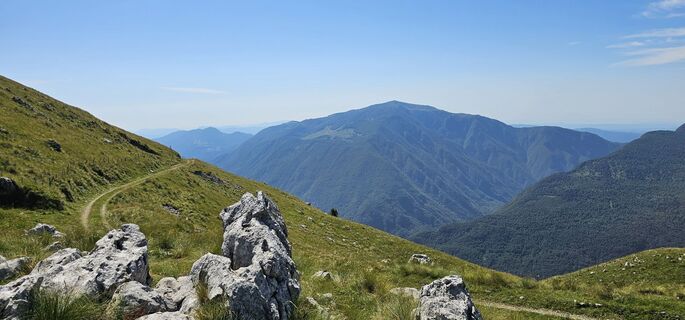
 © Gianberto ZilliVytvorené dňa 08.10.2025
 -
 © Gianberto ZilliVytvorené dňa 08.10.2025
 -
 © Gianberto ZilliVytvorené dňa 08.10.2025
 -
 © NicoVytvorené dňa 20.07.2025
 -
 © NicoVytvorené dňa 20.07.2025
 -
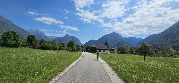
 © NicoVytvorené dňa 03.07.2025
 -
 © NicoVytvorené dňa 03.07.2025
 -
 © NicoVytvorené dňa 03.07.2025
 -
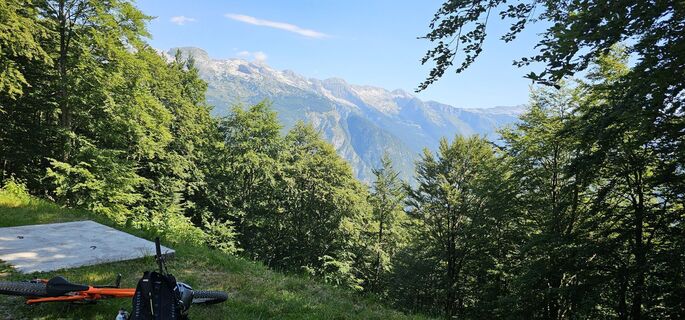
 © NicoVytvorené dňa 29.06.2025
 -
 © NicoVytvorené dňa 29.06.2025
 -
 © NicoVytvorené dňa 29.06.2025
 -

 © Marusa TopolovecVytvorené dňa 25.04.2026
 -
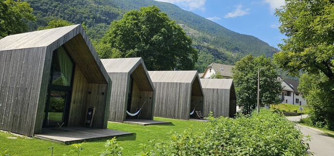
 © Matej MezekVytvorené dňa 09.11.2025
 -

 © Raftandroll HungaryVytvorené dňa 04.05.2025

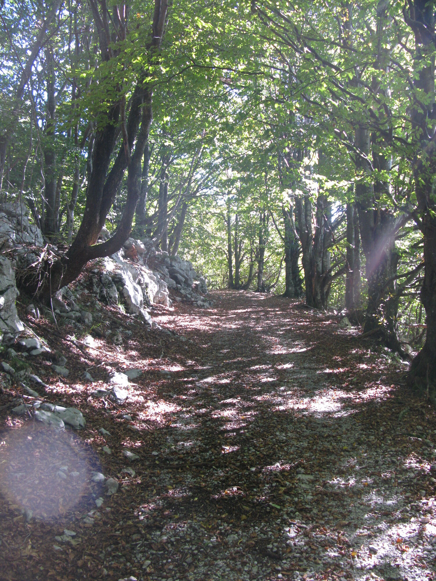
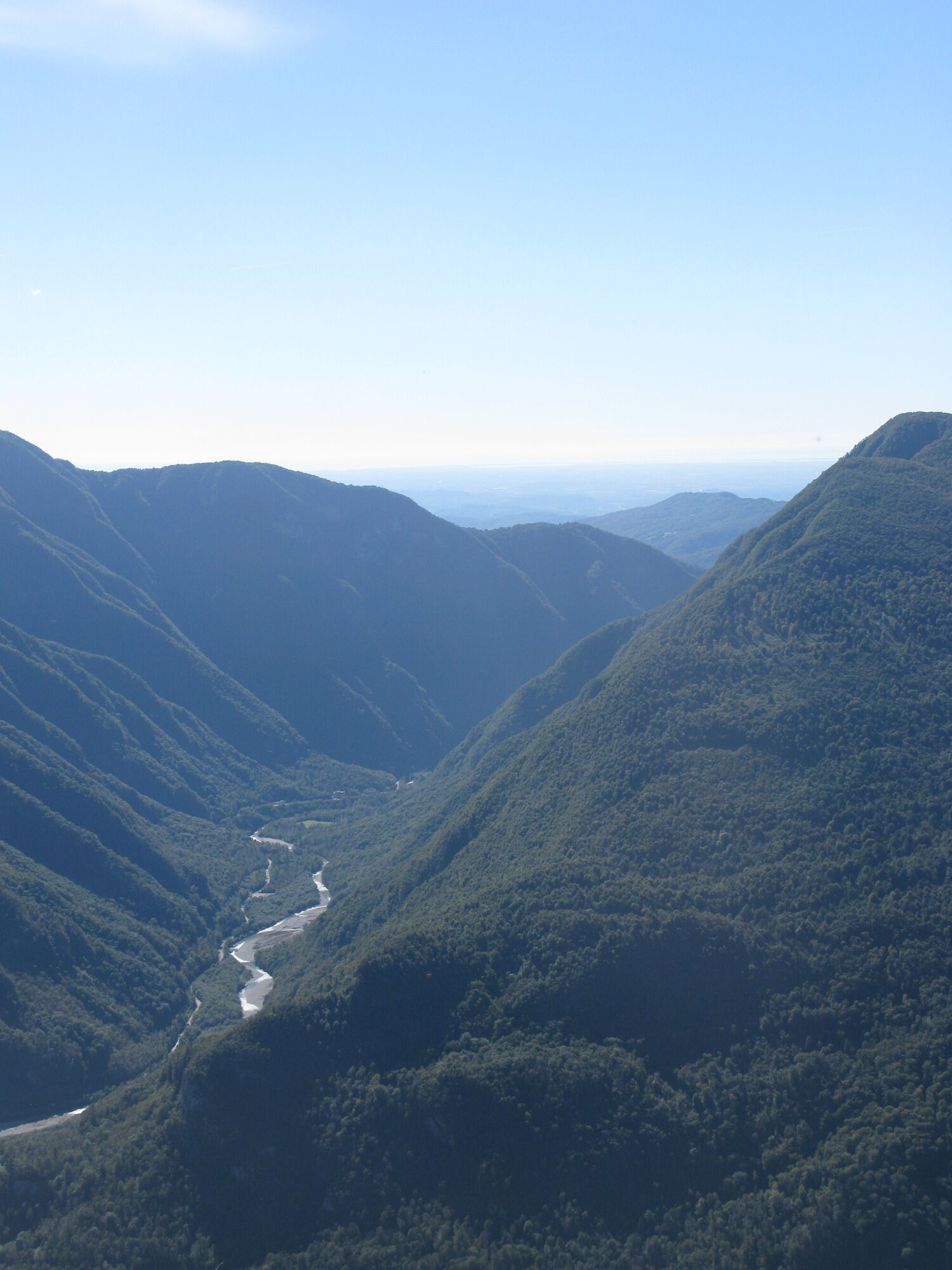
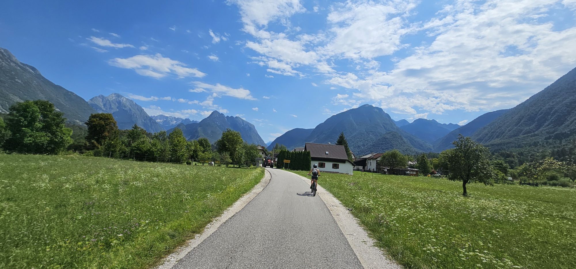
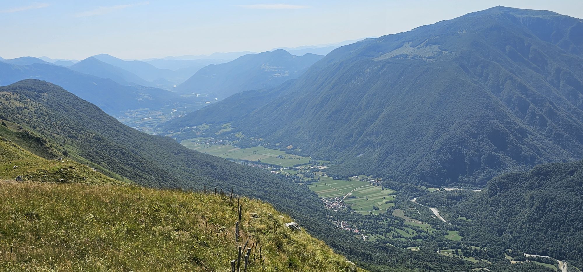


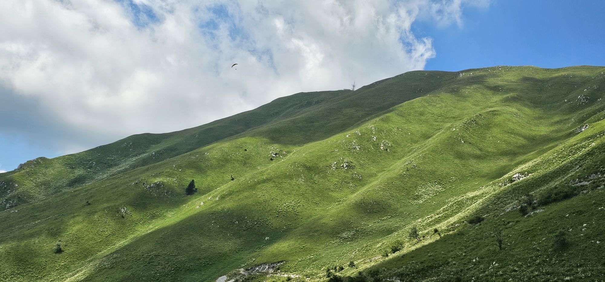
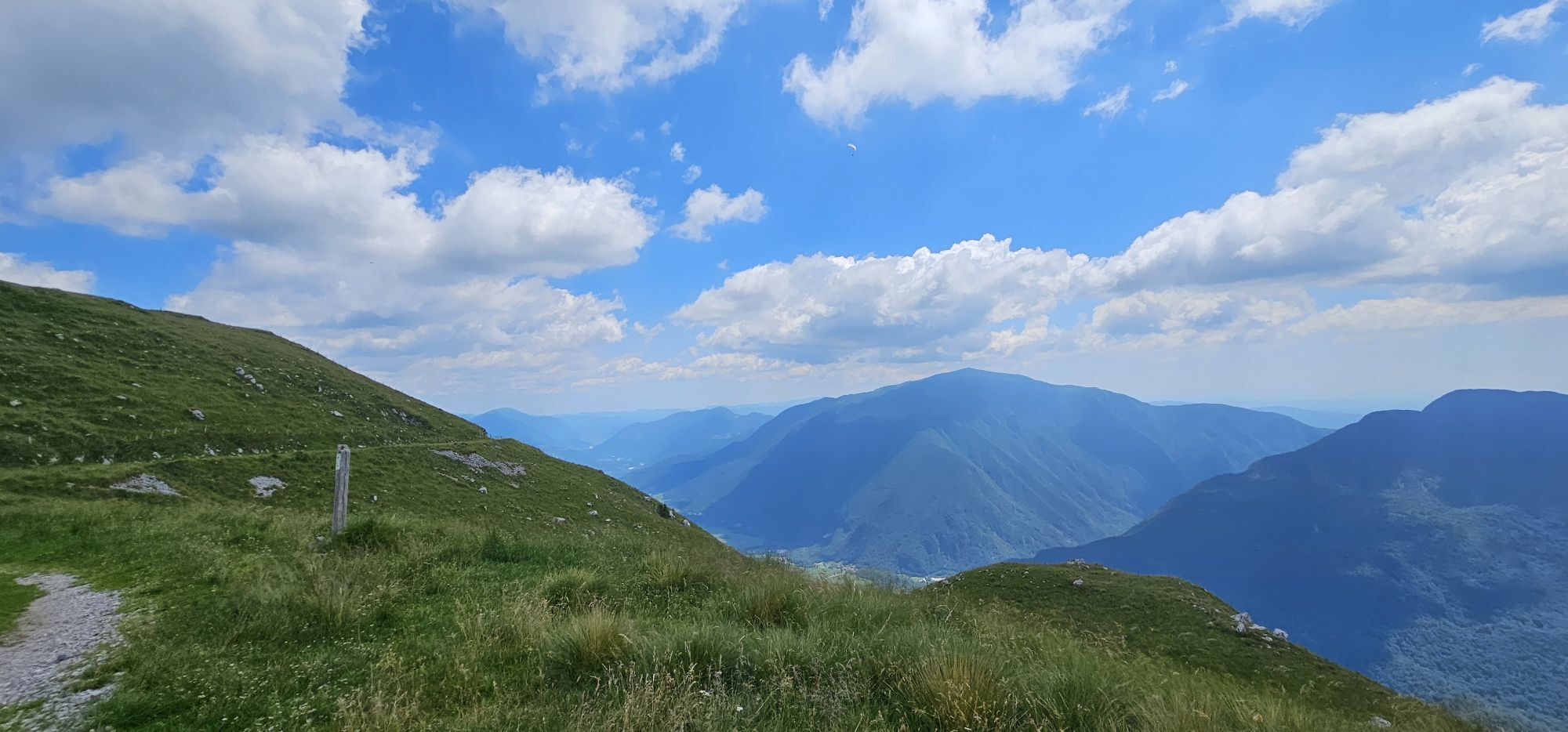

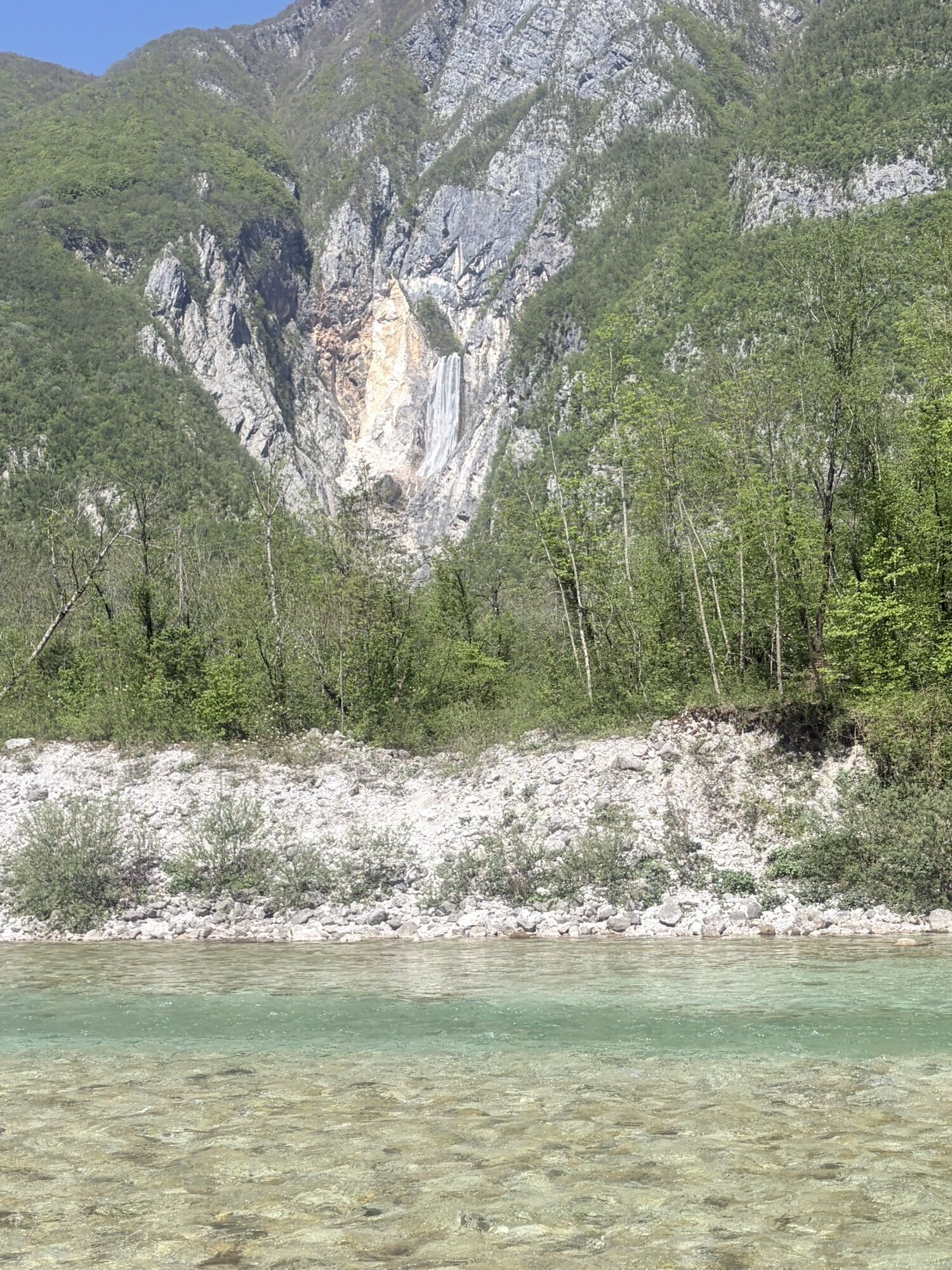

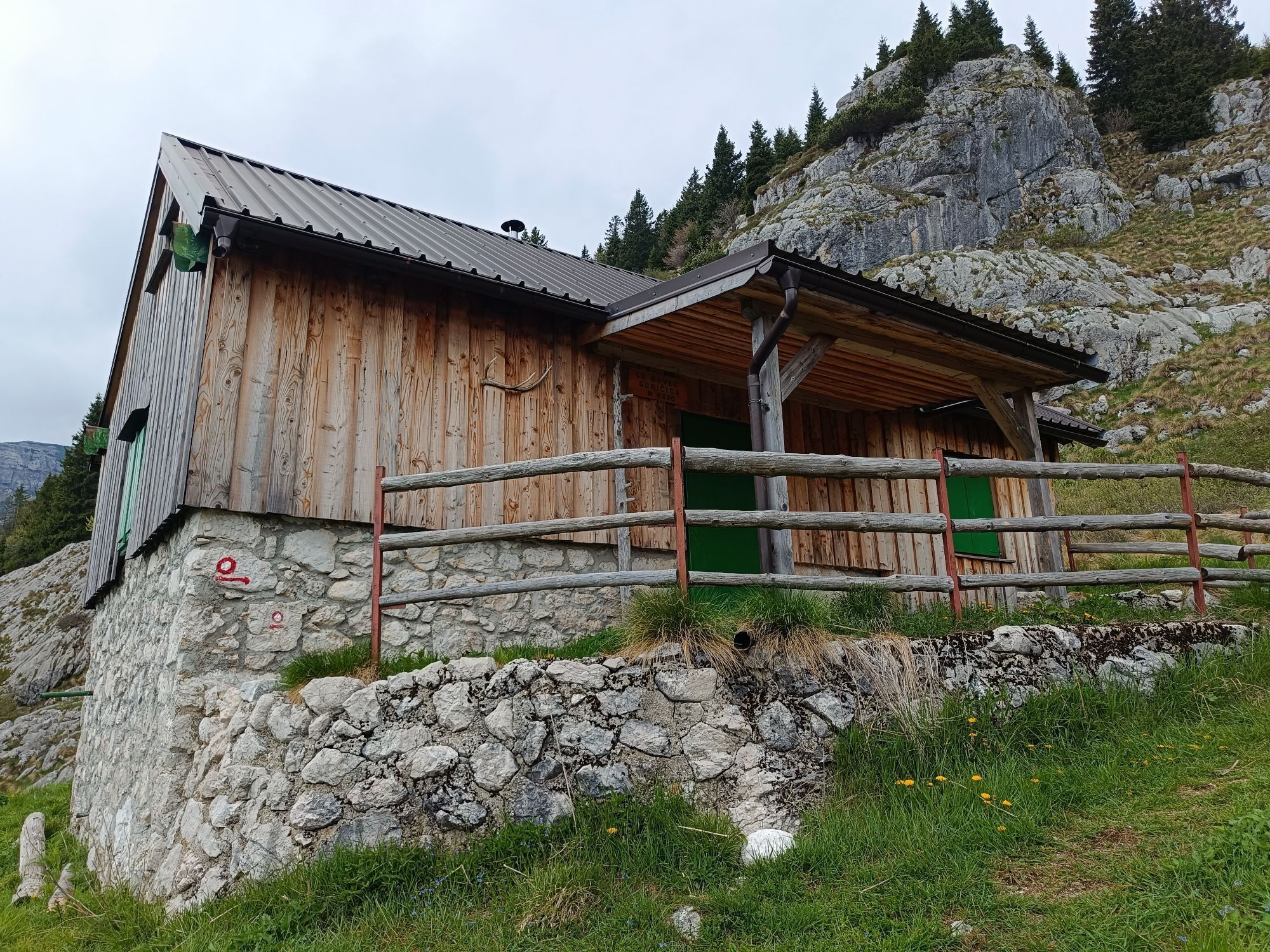
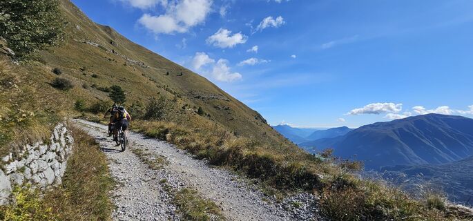
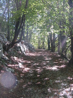
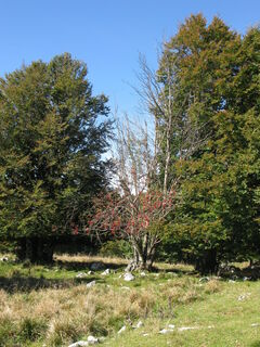
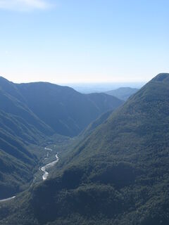
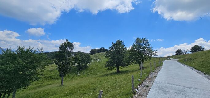
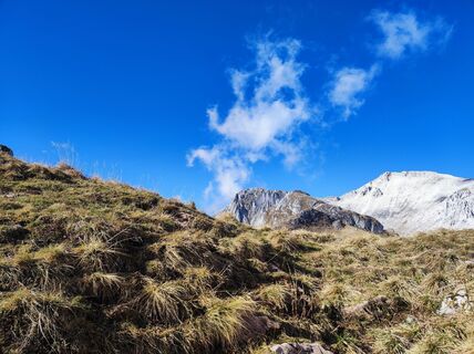
The trip begins with a descent from Bovec to the stream of the green beauty. A pleasant ride along the left bank of the Soča is brightened by a beautiful view of the mighty Boka waterfall. The Učja gorge...
The trip begins with a descent from Bovec to the stream of the green beauty. A pleasant ride along the left bank of the SoÄa is brightened by a beautiful view of the mighty Boka waterfall. The UÄja gorge shows us at the start that it will not be 'cheap'. The scenery of the beautiful wild gorge with its views helps us forget the constant effort required by the road’s gradient. It all becomes even more fun when we turn at the UÄja border crossing onto a poor gravel road, which later becomes a quite decent forest road that takes us under the shelter of the old forest on the northern slope of Stol to the ridge of the hill. A break at the Božca pasture is necessary, but as is usual on ridges, the weather will not favor us. If it’s clear, it will be really hot; if the weather is bad, it will be windy and probably foggy. The descent on a rutted road towards the village of Sedlo will remind us how valuable the suspension on our full-suspension bike is. Further descent to the Nadiža river below Podbela and riding along the riverbank to RobiÄ is relaxing, but we still need to be attentive to stay on the right path because navigation can be tricky at some points. From RobiÄ to Kobarid, we will enjoy the ride on a lovely local gravel road through the villages of Sužid and Svino. When passing the sign for the Svino waterfall and crossing the little bridge over the Idrija stream, we know we have reached the end of our trip in Kobarid, which will surely not leave us indifferent.
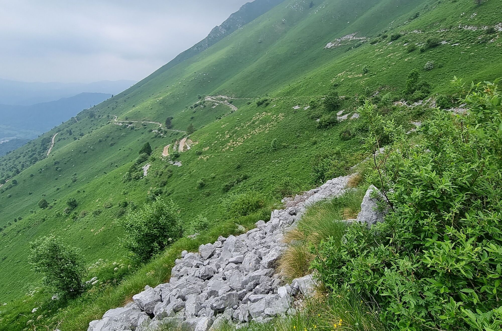
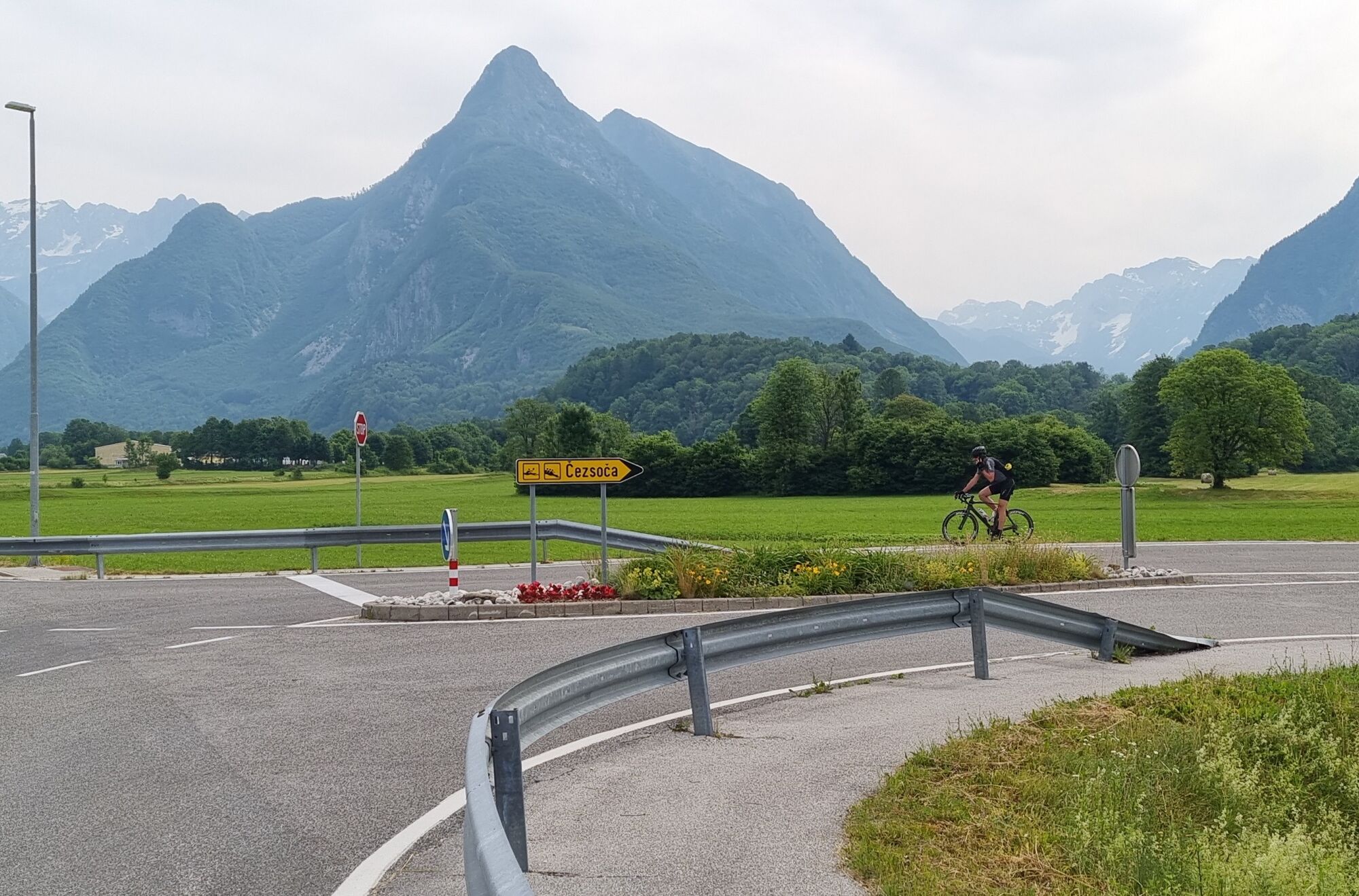
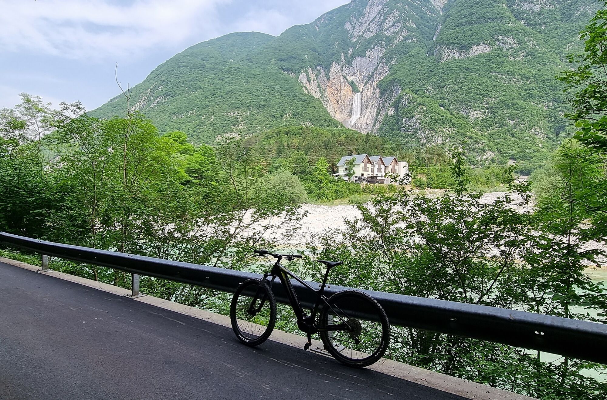
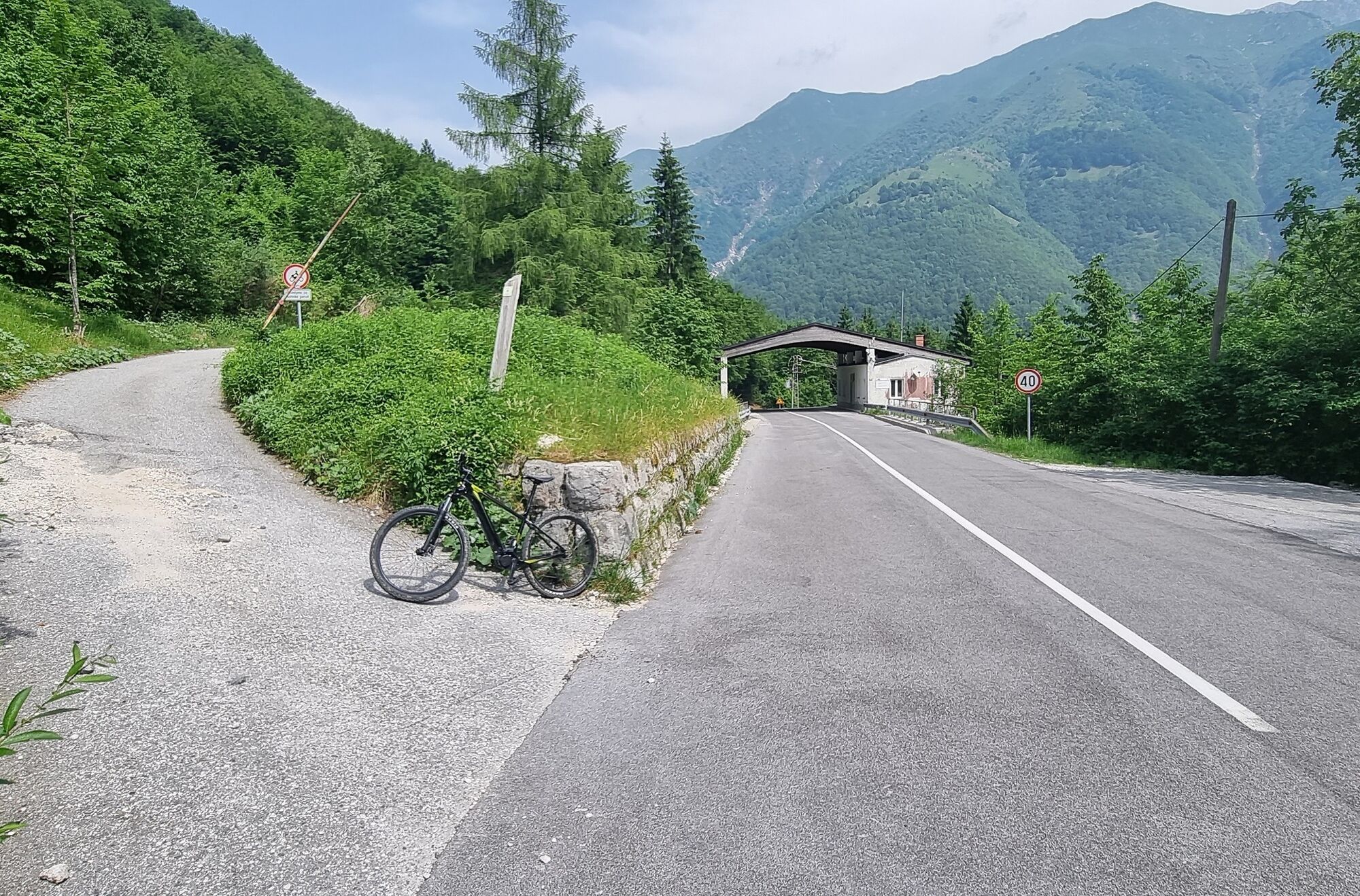
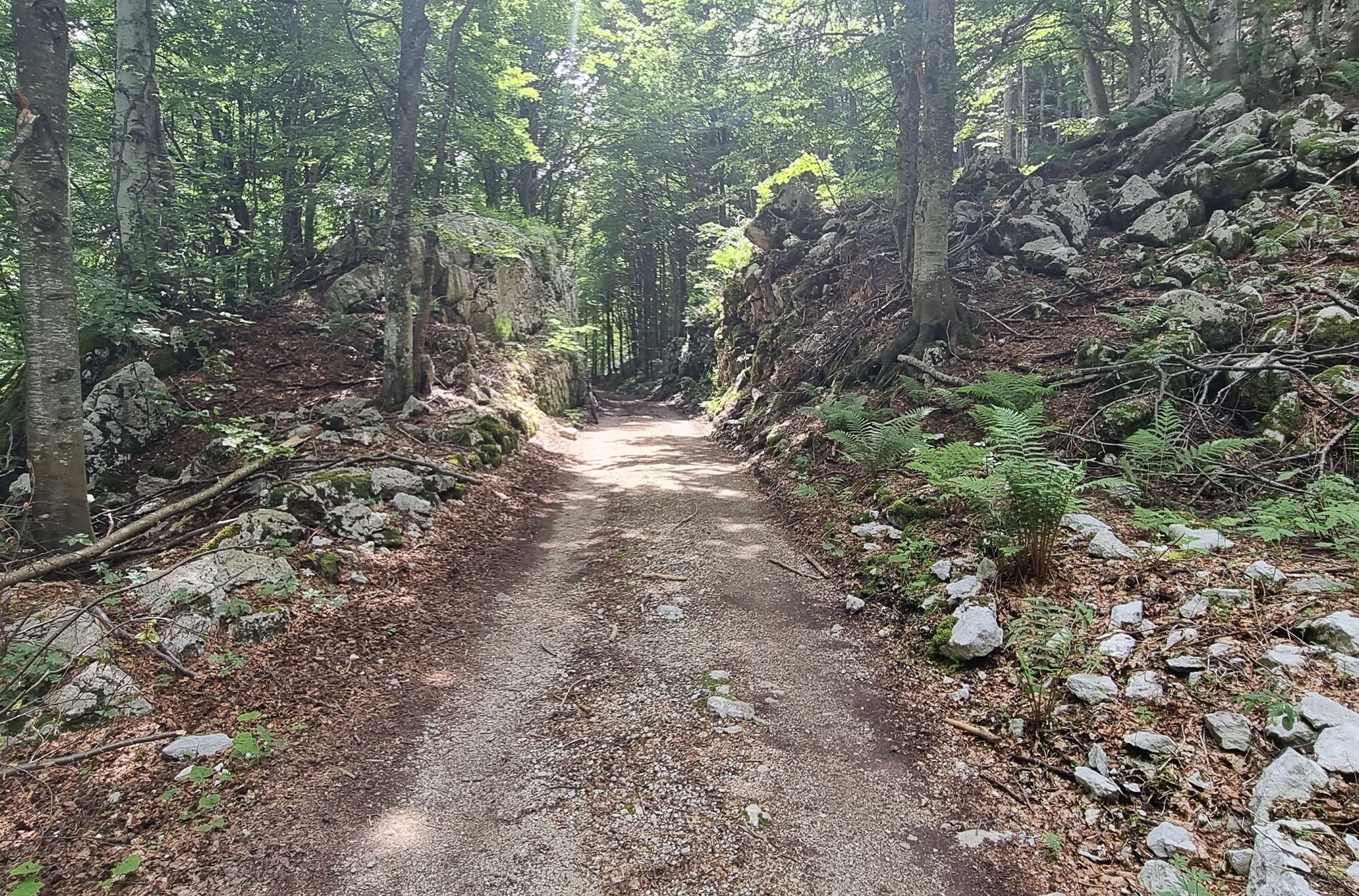
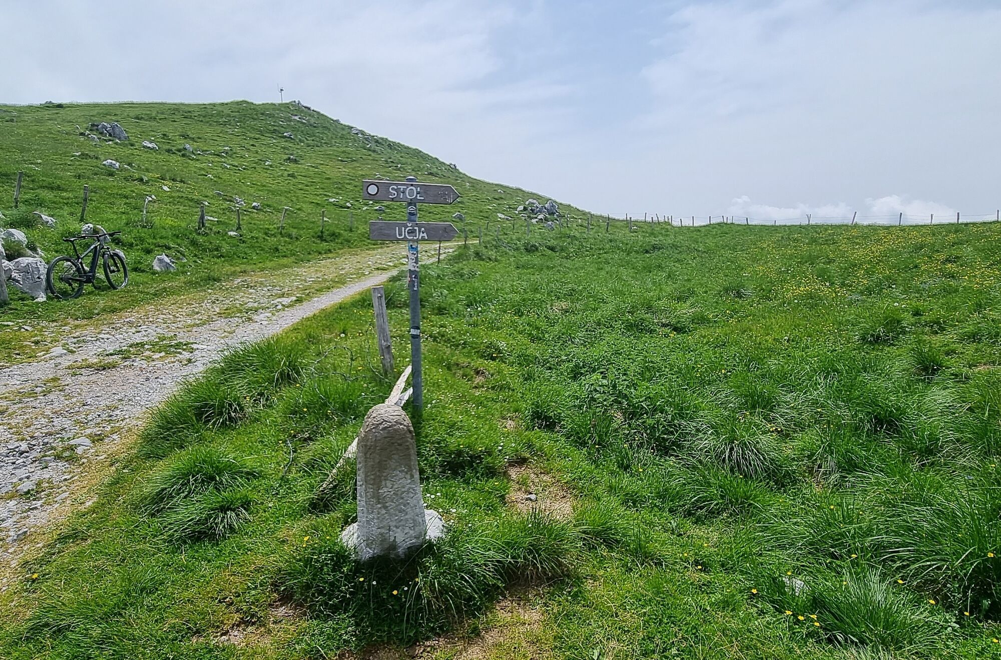
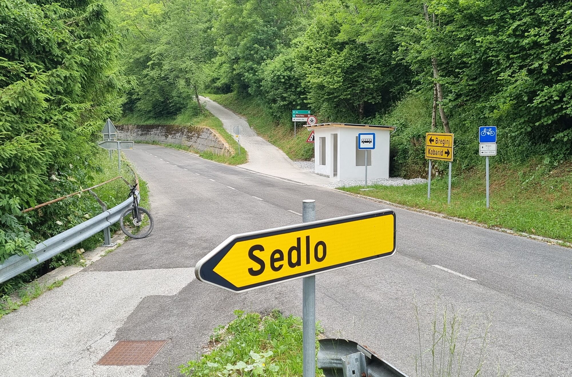
From the center of Bovec, we head towards Bovec airfield. When we reach the road, we turn left to the crossroads, where we follow the signpost for ÄezsoÄa. We follow the road over a bridge and turn right. We ride to a fork in the village. At the fork, we keep left. When we reach the road, we are on the Juliana Bike route. We turn right and at the end of the village at the fork turn left, where we enter a nice gravel field path. At the end of the path, we reach a cemetery, where we turn right and rejoin the Juliana Bike route. We continue along the road to the bridge in Log Äezsoški, where we cross it to the main road. We have a wonderful view of the Boka waterfall. At the main road, we turn left towards Kobarid and ride to Žaga. From the main road, we follow the signpost for UÄja, so we turn right uphill. We ride up the road to the minor border crossing UÄja. Before the crossing, we turn left uphill onto a poor gravel road. There is an open barrier by the road. At the junction, there is a small sign for UÄja, Božca pasture, and Stol. When we enter the gravel road, we continue riding to the Spodnja Božca pasture, where we take the right path uphill. At the top, we ride straight over the ridge. The path turns right and for some time still slightly ascends. At the fork for Stol and Sedlo, we take the left path downhill. We ride it to the foot, where we reach the road above the village Sedlo. We ride several kilometers along the road towards Kobarid to the village Spodnja Borjana. At the end of the settlement at the crossroads, we turn sharply right and continue to Podbela. Outside the village, just before the small bridge over the Bela stream, there is a left downhill turnoff onto a gravel road towards the Podbela campsite. We continue along a nice gravel track meant for cyclists and pedestrians to the campsite by the Nadiža river near the village RobiÄ. We continue to the main road, where we turn left. After the village RobiÄ, still before the roundabout to Breginj, Podbela, Staro Selo, Kobarid, and Nova Gorica, we turn right onto a gravel road leading to Sužid and Svino. Before Sužid, there is a spring. In Sužid, we choose the left road and follow it through the village. When we reach the crossroads before Svino, we turn left onto another turnout and continue straight towards Kobarid, which is already visible from afar. When we reach it, we arrive at the main road, where we turn left. We ride to the center of Kobarid, where we follow the signs to TIC Kobarid.
Technically flawless bike, preferably all-mountain with profiled tires
Helmet, gloves, sunglasses
Food and drink from a backpack
Spare inner tube, pump, multitool, first aid kit
Personal identification, health insurance card, mobile phone and/or navigation device, area map.
4
Drinking water source at the beginning of the climb on the gravel road above UÄja and at the resting spot on the road above Sedlo, when coming from Stol.
Obľúbené výlety v okolí
-
4,4
Kozjak Wasserfall und Soča
svetloTuristika 5,18 km -
4,0
Boka Wasserfall
strednáTuristika 1,94 km -
3,3
Auf den Krn
strednáTuristika 5,90 km -
5,0
Prestreljenik Window (2390 m) – dramatic view of the Western Julian Alps
strednáSkitour 14,5 km -
3,6
Sella Robon
Turistika 12,2 km -
3,2
Slap Kozjak (Wasserfall)
svetloTuristika 3,40 km -
4,3
Stol Nord
strednáMountainbike 37 km -
4,0
Matajur
strednáMountainbike 24,8 km -
4,6
Entlang der Soca
svetloTuristika 8,09 km -
4,8
Tarvisio - Gorizia: z hôr do viníc (CX01)
strednáDiaľková cyklotrasa 155,8 km

Turistika a stopovanie


Nenechajte si ujsť ponuky a inšpiráciu na ďalšiu dovolenku
Vaša e-mailová adresa bol pridaný do poštového zoznamu.