


The Lower Vipava Valley
Fotografie našich používateľov
The trail begins eastward from the center of Nova Gorica, on the main road from Nova Gorica to Ajdovščina. At first the trail has a bit of traffic on it, up until Ozeljan, where most of the traffic turns...
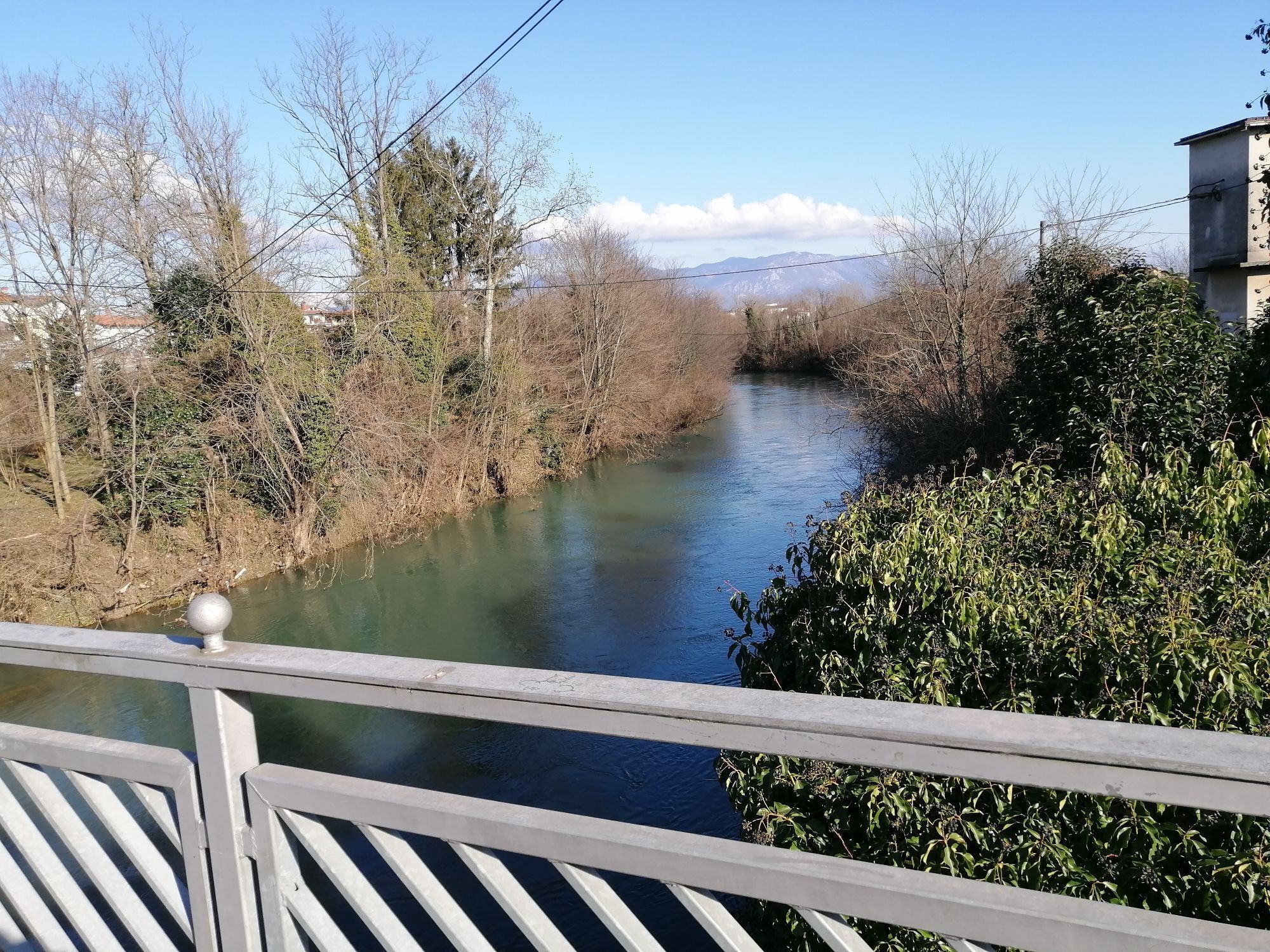
The trail begins eastward from the center of Nova Gorica, on the main road from Nova Gorica to Ajdovščina. At first the trail has a bit of traffic on it, up until Ozeljan, where most of the traffic turns towards the highway. When you get to the intersection for the highway, go straight and continue towards Ajdovščina. Pedal through the villages of Ozeljan, Šempas, Črniče, all of which offer several excellent vintners and agritourism farms, where locals will be happy to serve you a homemade snack and a glass of delicious Vipava wine. Leave Črniče and go down to Selo, where you make a right to go to Dornberk. There is less traffic on this road, which winds along rather dynamic terrain all the way to Dornberk, where you take signs for Nova Gorica. A little bit past the gas station take the left towards Gradišče, which as the signs indicate is also a part of the Vipava Wine Road. Climb a bit to Gradišče nad Prvačino, then descend into Oševljek and onward to Renče. Turn left at the square in Renče, following the main road up till the sign that directs you right towards Miren. Soon you will find the next intersection, where you will take the left towards Miren. Follow the paved road through the villages of Merljaki and Vrtoče to Miren, where you’ll make a right towards Nova Gorica at the well. Drive along the main road in Miren up to the roundabout, where you should make a right. Take the first exit at the next roundabout and then the signs for Nova Gorica when you get to Bilje. Look on your right to see Slovenia’s largest contiguous vineyard, the Bilje Hills, covering 250 hectares. The trail takes you from here through the village of Vrtojba and town of Šempeter pri Gorici, where you should head in the direction of Rožna Dolina. Once there continue on to Pristava. A short climb puts you at Kostanjevica pri Novi Gorici, where you can enjoy the Franciscan monastery. Members of the French house of Bourbon are buried there, including the dynasty’s last king Charles X. The monastery features an extensive library, holding 10,000 books, including 30 incunabula. After Kostanjevica you will descend into Nova Gorica, where your cycling trip will have come full circle.


Obľúbené výlety v okolí
-
3,7
Trail to the natural stone bridge Skozno
svetloTuristika 5,62 km -
Trasa Gorizia - Kanal (SLO) (P004)
strednáDiaľková cyklotrasa 22,2 km -
Collio - Brda Ring (R014)
strednáDiaľková cyklotrasa 60,6 km -
Etappe 33 Alpe-Adria-Trail: Gradisca d'Isonzo - Duino
strednádiaľková pešia trasa 27,8 km -
Carsus Trail - a long-distance trail through the Karst region of Slovenia and Italy
strednádiaľková pešia trasa 102,2 km -
JULIANA TRAIL – stage 20: Šmartno - Solkan
ťažkéTuristika 13,3 km -
Cyklotrasa - Brda, Vipavská dolina, Kras
ťažkéCyklistika 93,3 km -
Skrlanka Circular Route
svetloTuristika 5,75 km -
The Doberdò and Pietrarossa Lakes Nature Reserve Loop Trail
strednáTuristika 11,2 km -
4,0
Peace routes on the Karst
strednáTuristika 26,0 km

Turistika a stopovanie


Nenechajte si ujsť ponuky a inšpiráciu na ďalšiu dovolenku
Vaša e-mailová adresa bol pridaný do poštového zoznamu.