


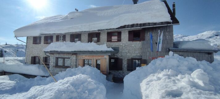
K-B2 Hut near the Krn lakes (Monte Nero) - Ukanc
Fotografie našich používateľov
-

 © Mario ThomaschützVytvorené dňa 15.03.2026
 -
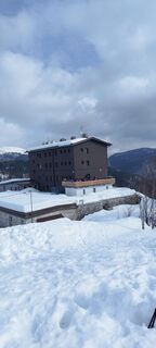
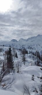
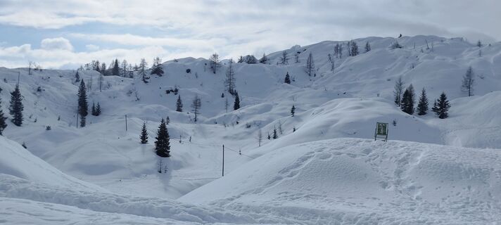
 © veronika bozicVytvorené dňa 01.03.2026
 -
 © veronika bozicVytvorené dňa 01.03.2026
 -
 © veronika bozicVytvorené dňa 01.03.2026
 -
 © veronika bozicVytvorené dňa 01.03.2026
 -
 © veronika bozicVytvorené dňa 01.03.2026
 -
 © veronika bozicVytvorené dňa 01.03.2026
 -
 © veronika bozicVytvorené dňa 01.03.2026
 -
 © veronika bozicVytvorené dňa 01.03.2026
 -
 © veronika bozicVytvorené dňa 01.03.2026
 -

 © Luka RusVytvorené dňa 01.02.2026
 -
 © Sabine MonayVytvorené dňa 04.10.2025
 -
 © Sabine MonayVytvorené dňa 04.10.2025
 -
 © Zsuzsanna MartonyVytvorené dňa 29.08.2025
 -
 © Zsuzsanna MartonyVytvorené dňa 29.08.2025
 -
 © Zsuzsanna MartonyVytvorené dňa 28.08.2025
 -
 © Zsuzsanna MartonyVytvorené dňa 27.08.2025
 -
 © Zsuzsanna MartonyVytvorené dňa 27.08.2025
 -
 © Zsuzsanna MartonyVytvorené dňa 27.08.2025
 -

 © Konrád KékesiVytvorené dňa 09.08.2025
 -
 © Konrád KékesiVytvorené dňa 09.08.2025
 -
 © Konrád KékesiVytvorené dňa 09.08.2025
 -
 © zlatko goterVytvorené dňa 05.07.2025
 -
 © zlatko goterVytvorené dňa 05.07.2025
 -
 © Igor napastVytvorené dňa 21.06.2025
 -
 © Igor napastVytvorené dňa 21.06.2025
 -
 © Igor napastVytvorené dňa 21.06.2025
 -
 © Igor napastVytvorené dňa 21.06.2025
 -
 © Igor napastVytvorené dňa 21.06.2025
 -
 © Igor napastVytvorené dňa 21.06.2025
 -
 © Igor napastVytvorené dňa 21.06.2025
 -
 © Igor napastVytvorené dňa 21.06.2025
 -
 © Cvetka SalamonVytvorené dňa 11.06.2025
 -
 © Cvetka SalamonVytvorené dňa 11.06.2025
 -
 © Bogdan DuhVytvorené dňa 27.07.2024
 -
 © Bogdan DuhVytvorené dňa 27.07.2024
 -
 © Matej MezekVytvorené dňa 09.11.2025
 -
 © Miha ZnidarsicVytvorené dňa 05.04.2025
 -
 © Miha ZnidarsicVytvorené dňa 05.04.2025


This is a harsh stretch that, winding between the two lakes and the natural beauties of these territories, pushes those who undertake it to come into contact not only with the marks of the front lines...
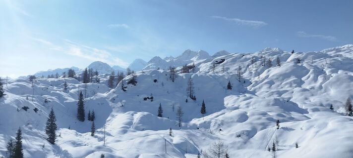
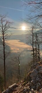
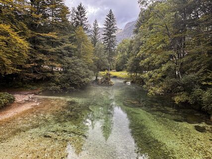
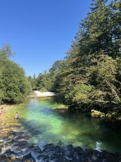
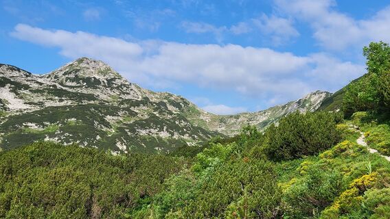
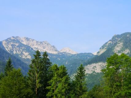
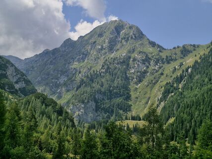
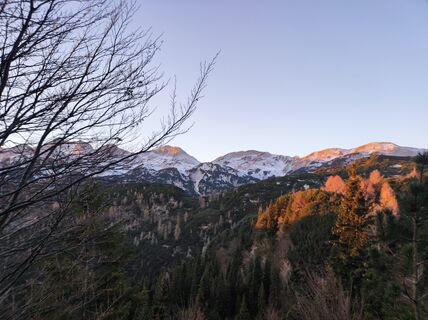
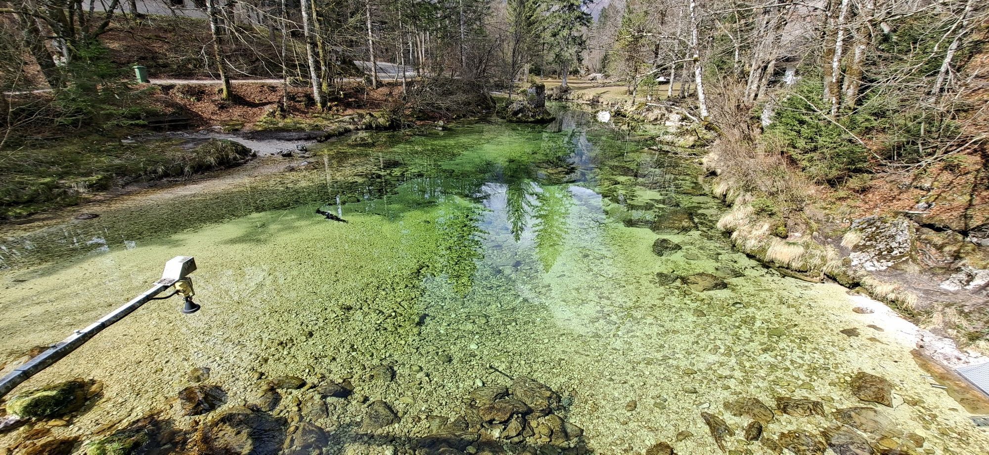
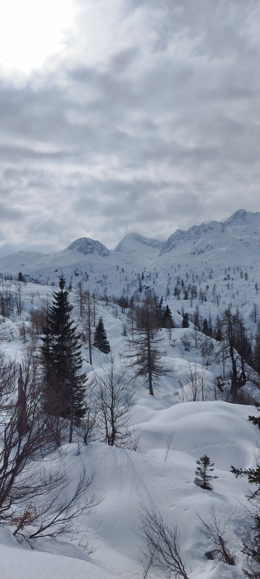
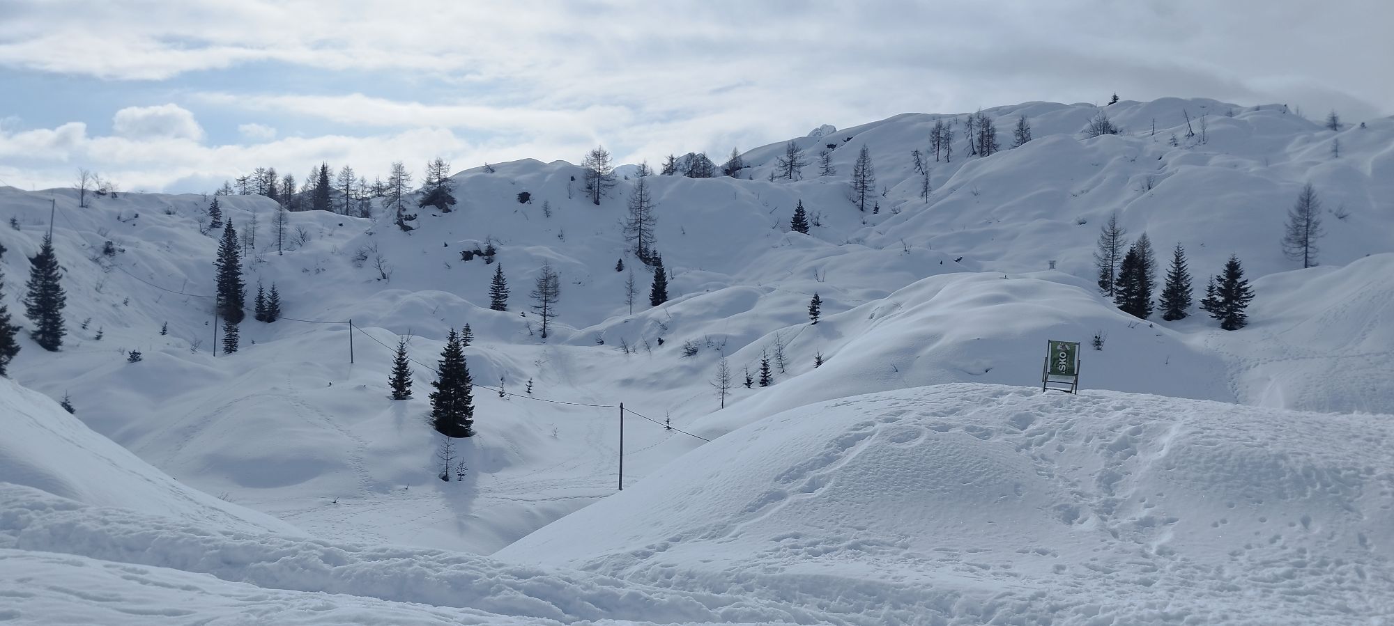
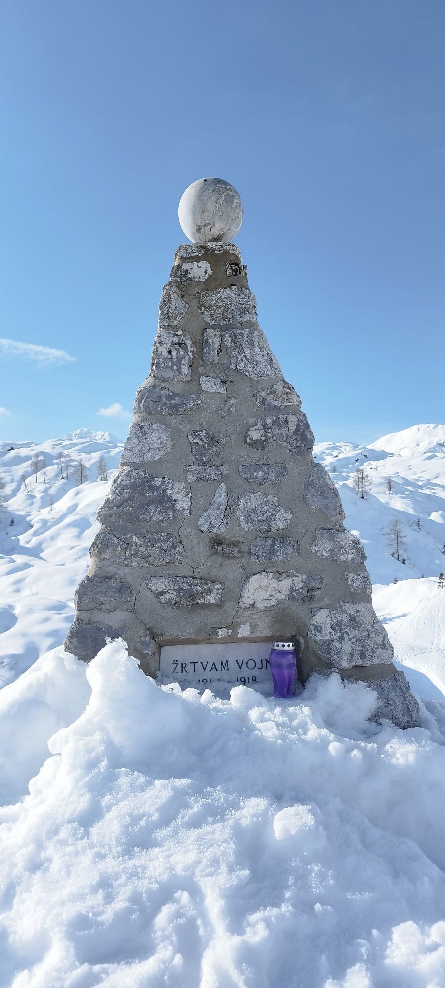
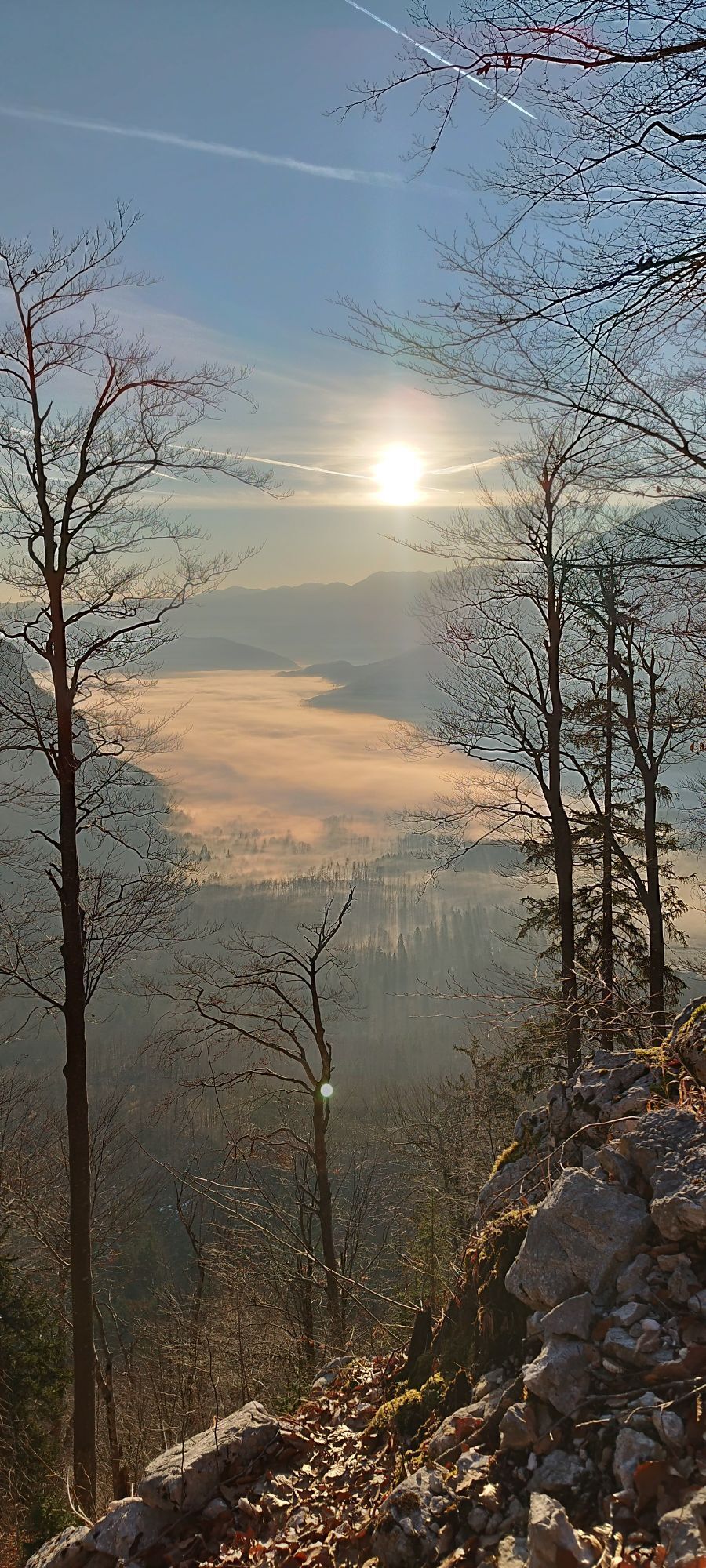
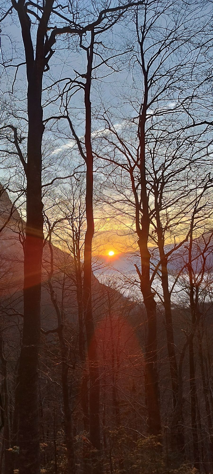
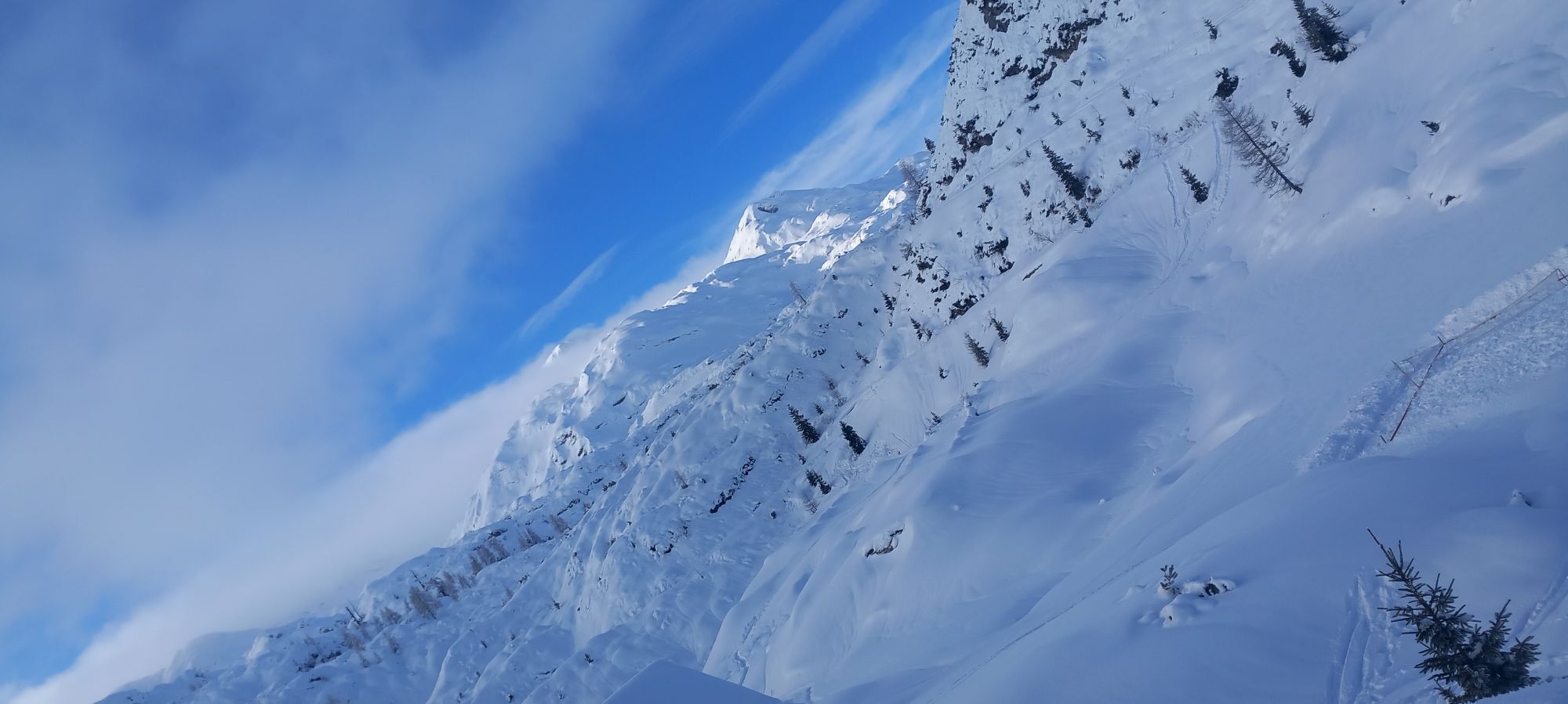
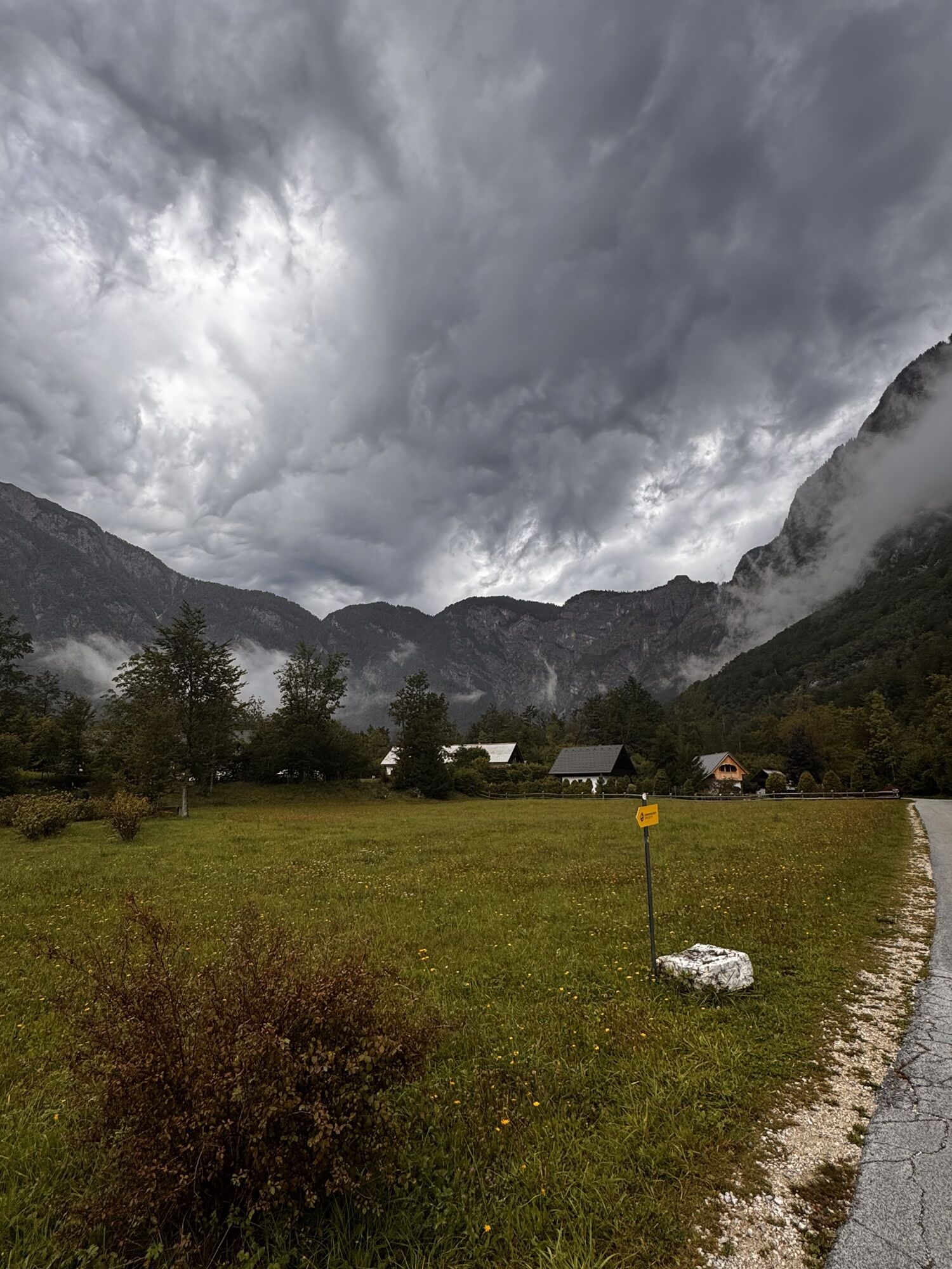
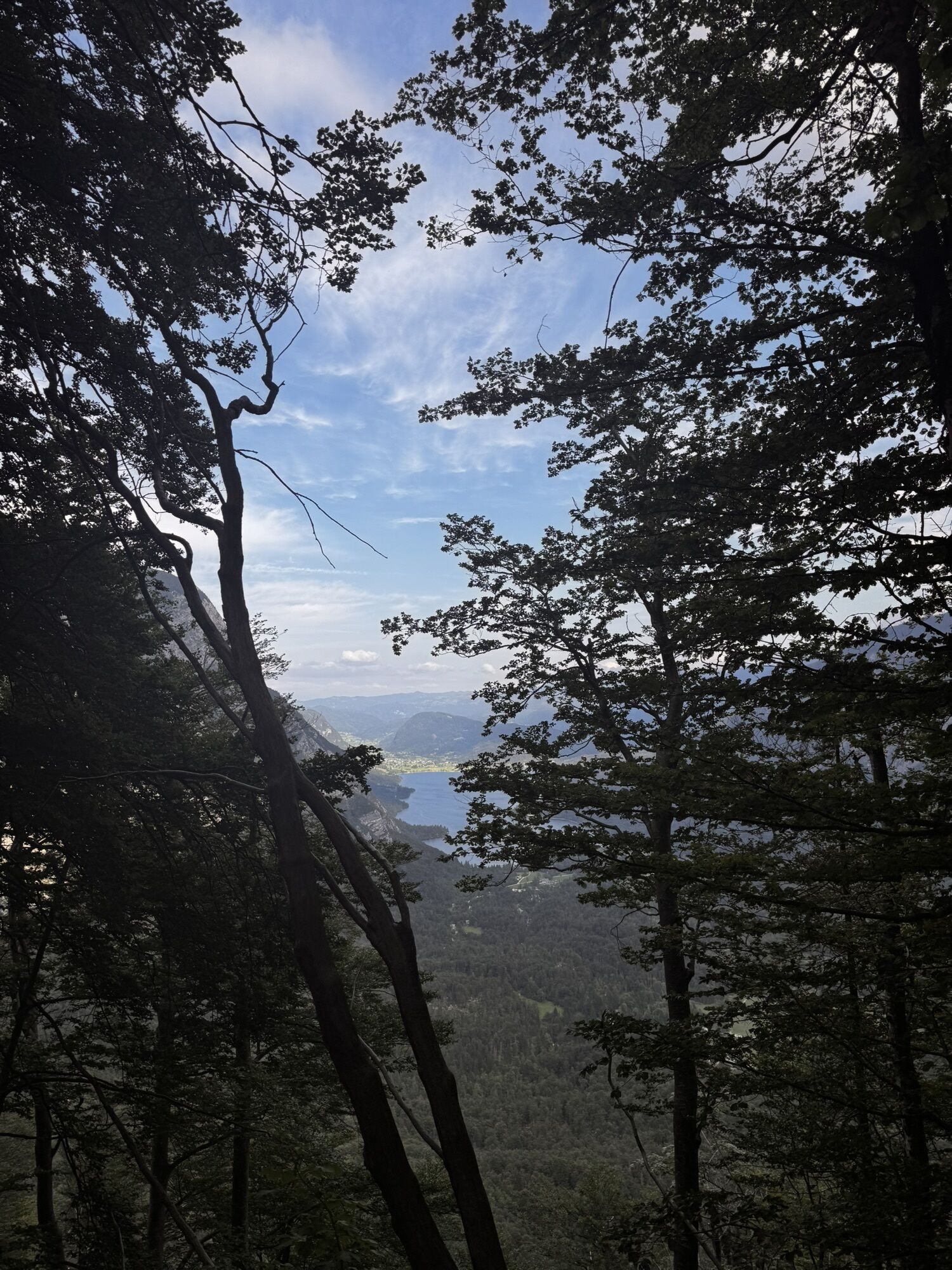
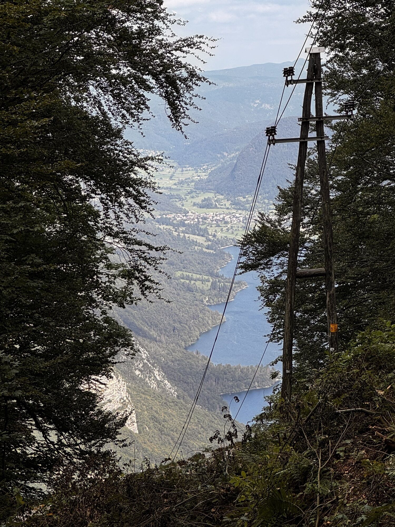
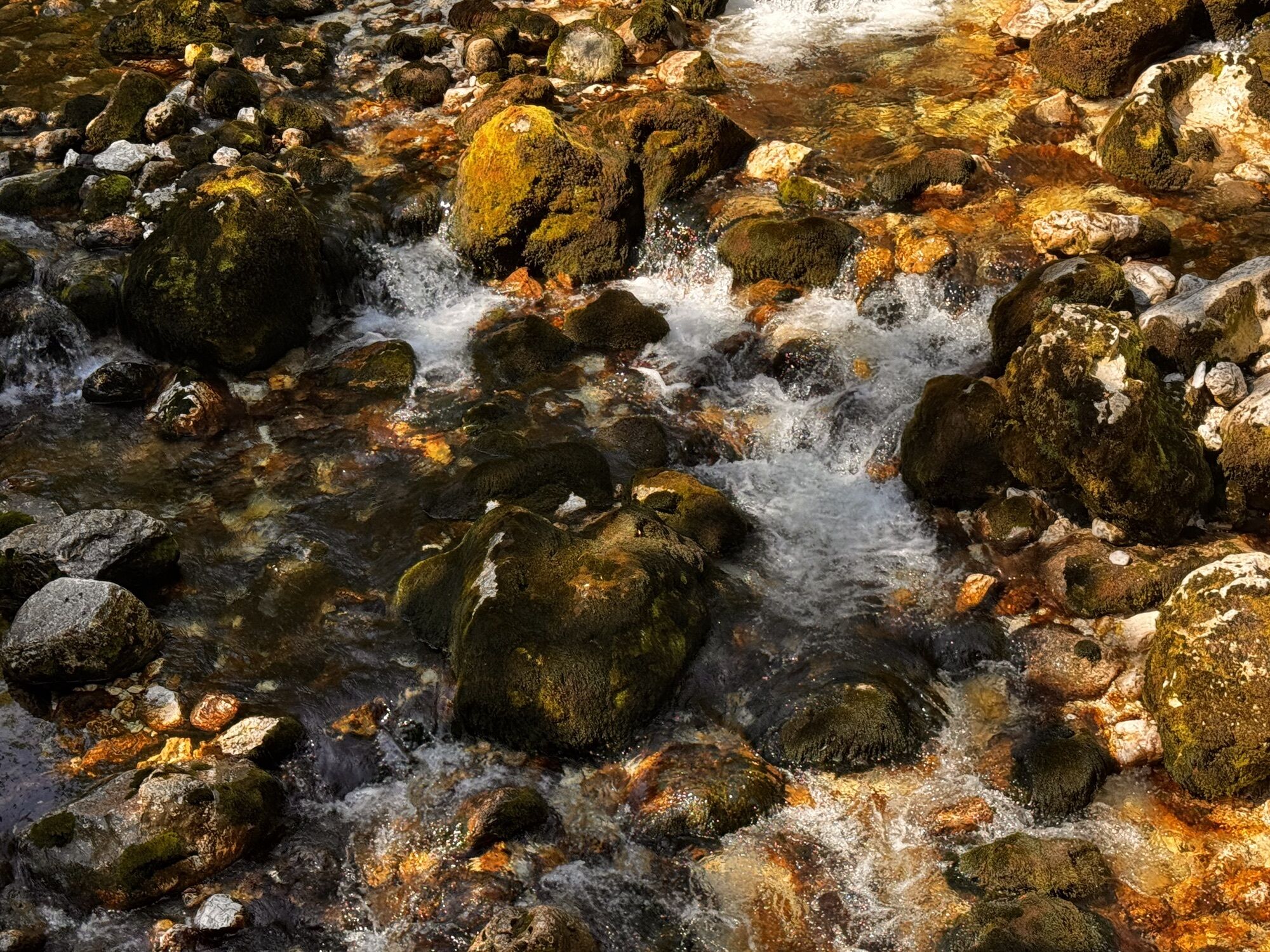
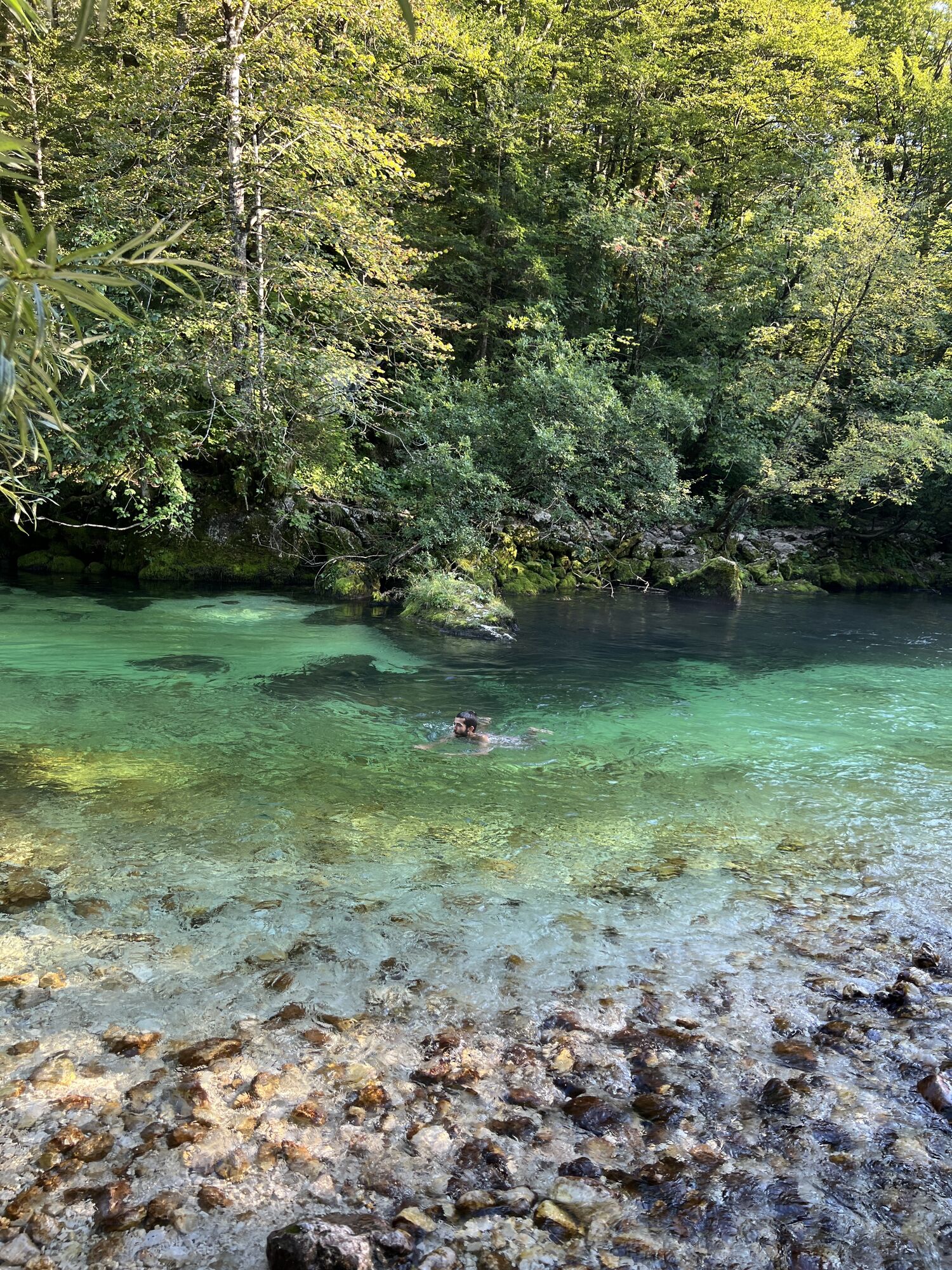
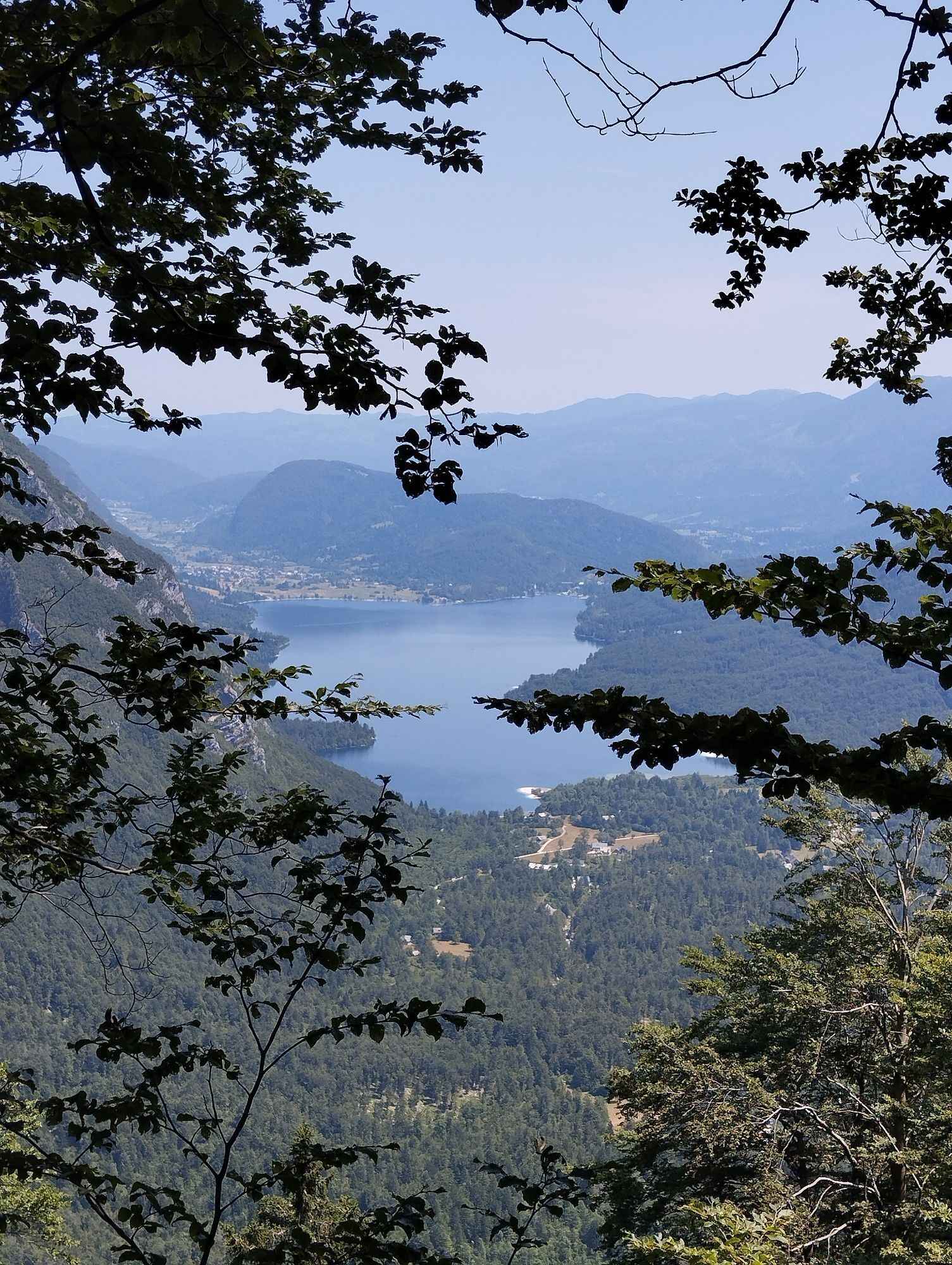
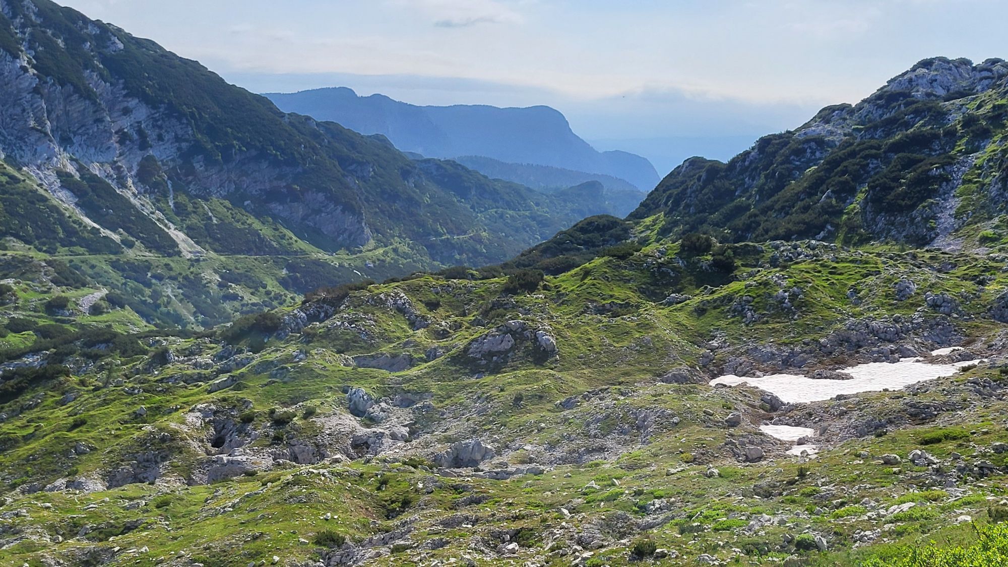
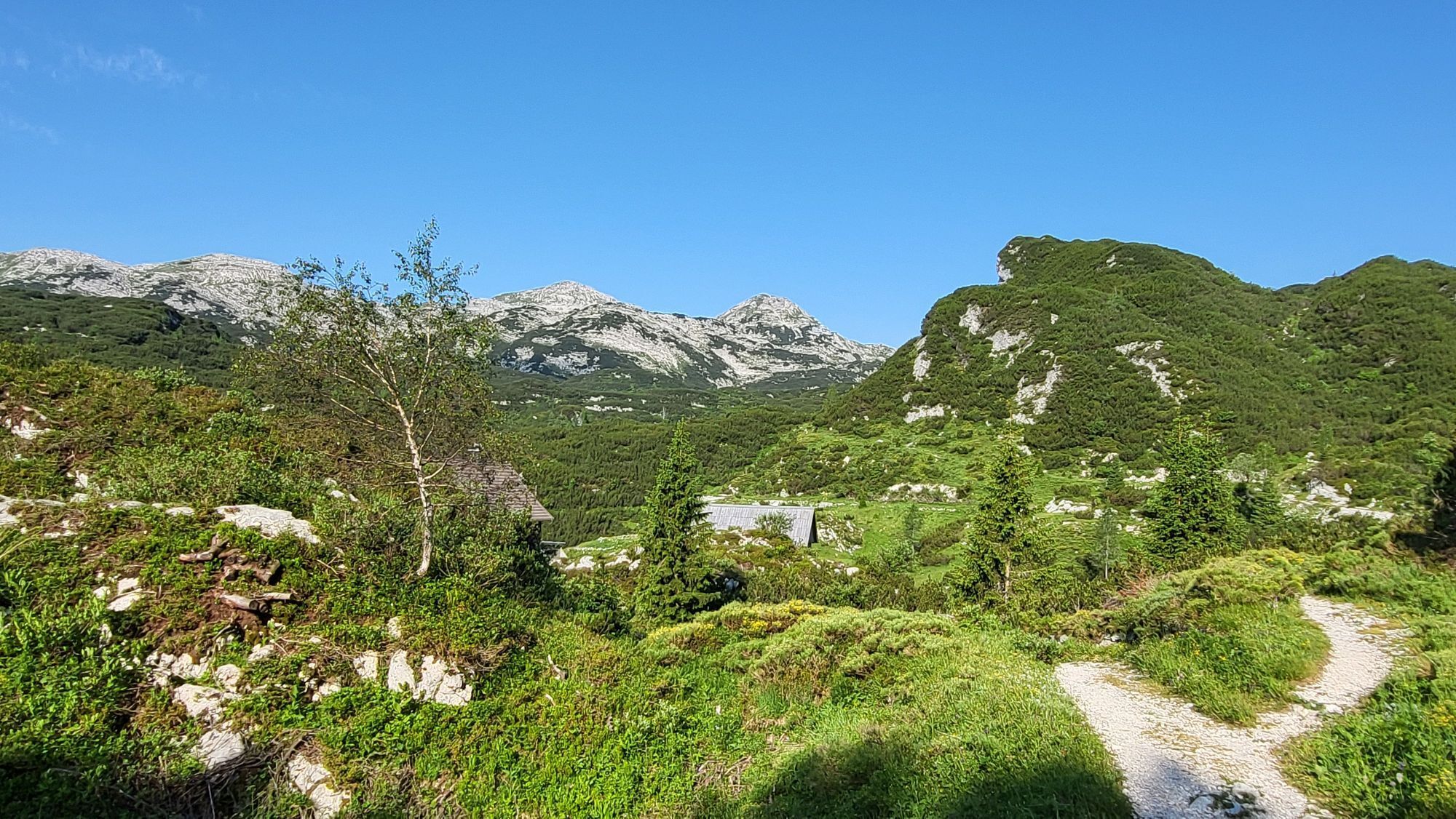
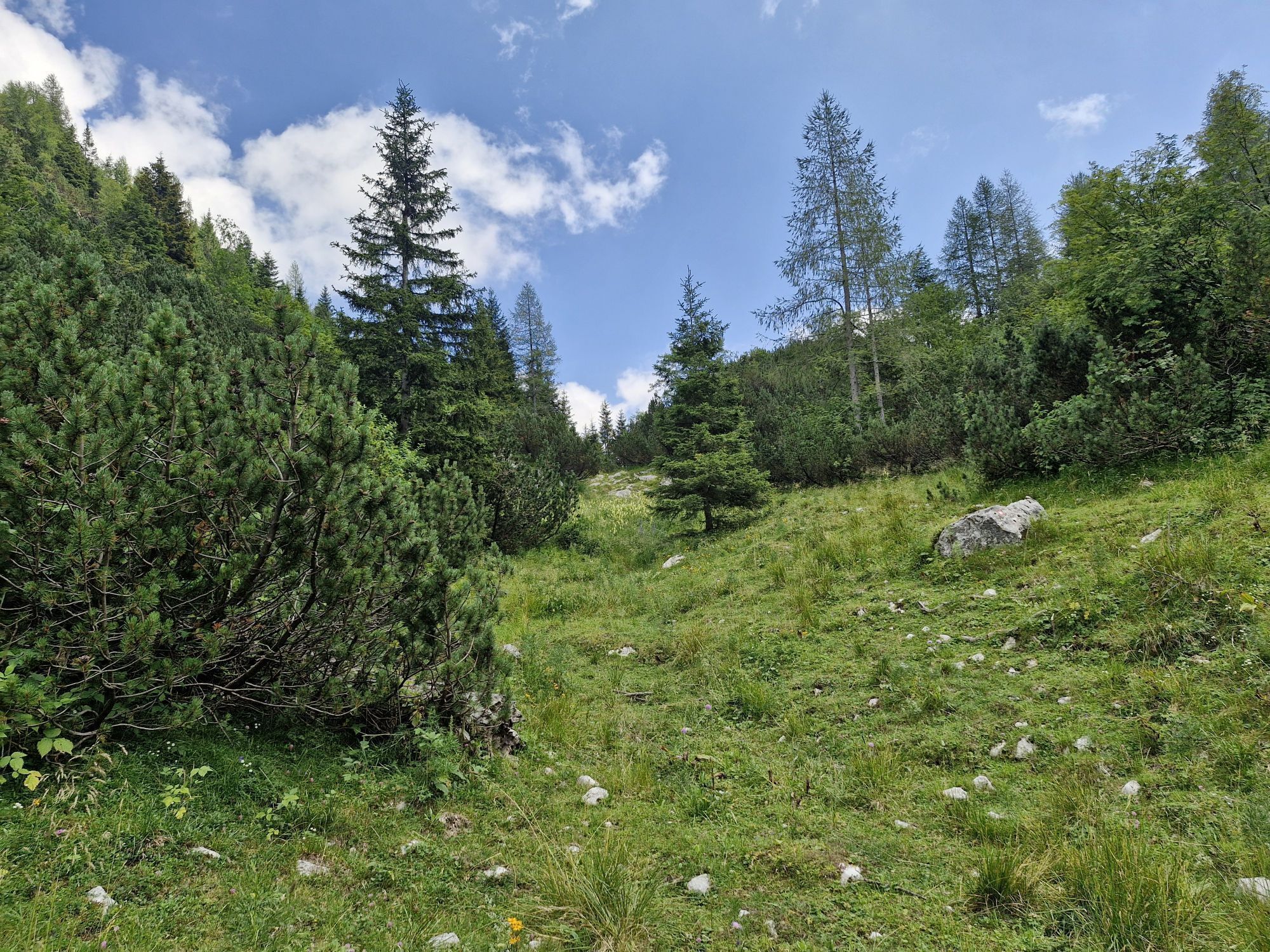
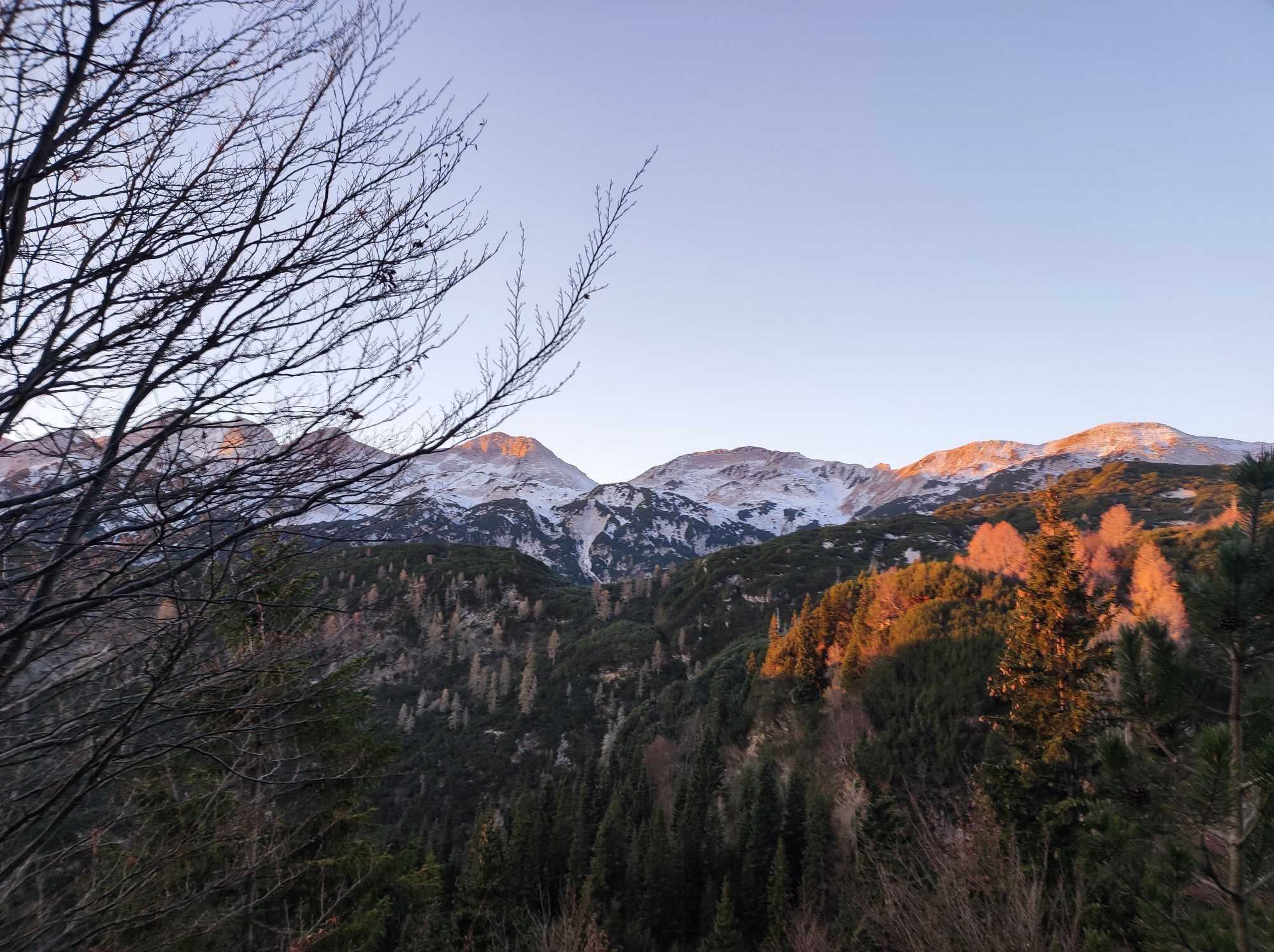
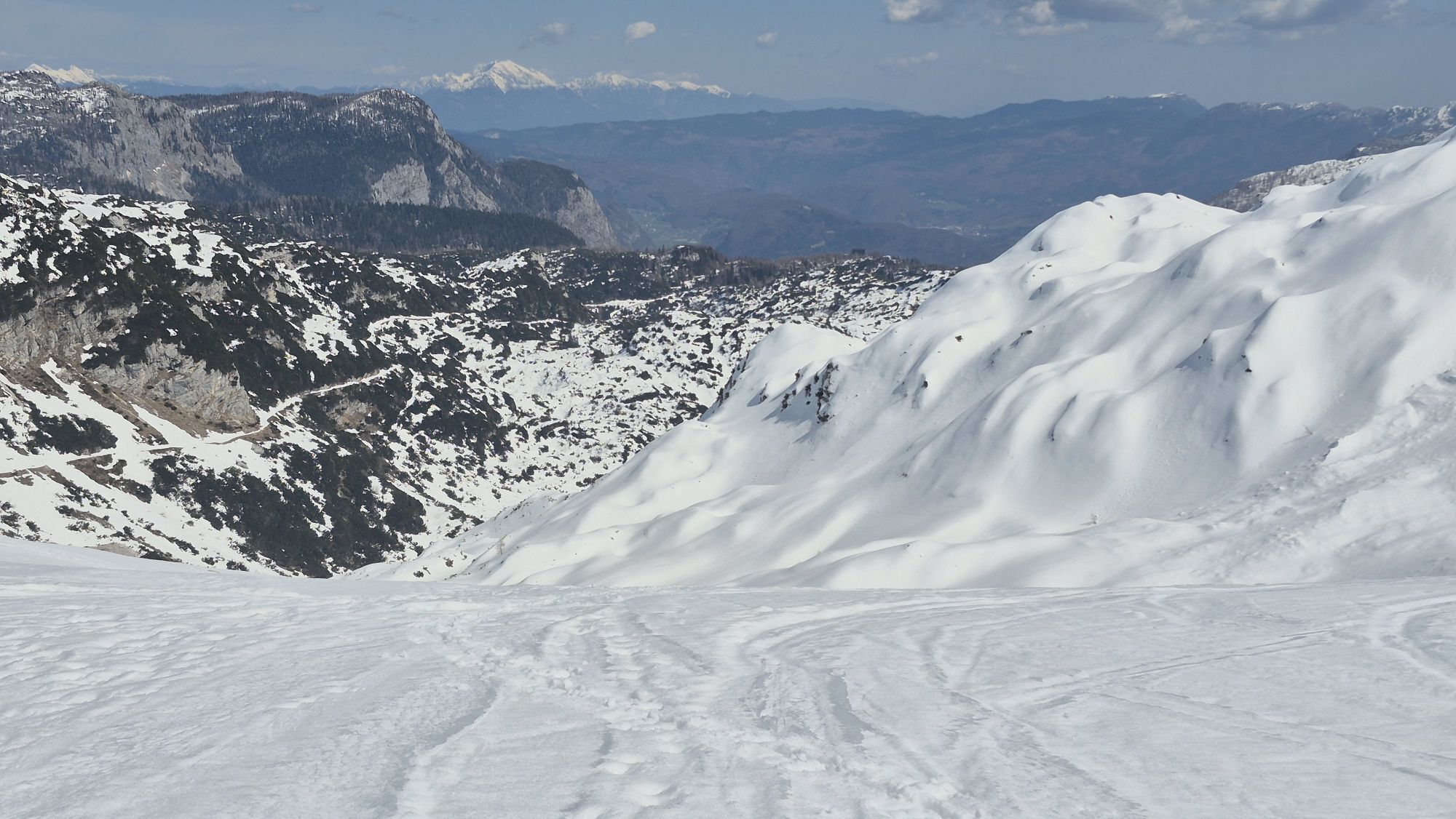
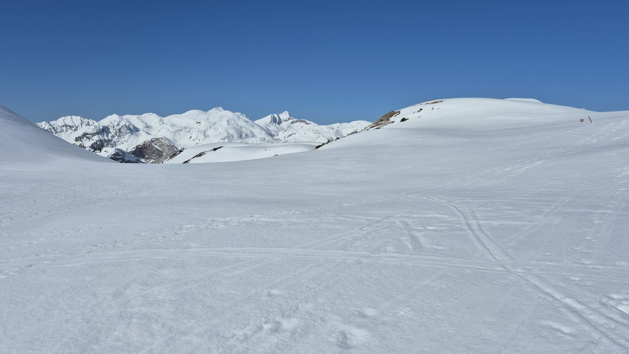
This is a harsh stretch that, winding between the two lakes and the natural beauties of these territories, pushes those who undertake it to come into contact not only with the marks of the front lines but also of its rear areas, as well as with traces from different periods, places marked not only by the Great War but also by the period immediately after. Crowning all this is the beauty of the mountain landscape, of pastures, forests, crystal-clear waters, and steep peaks, splendid and almost untouched.
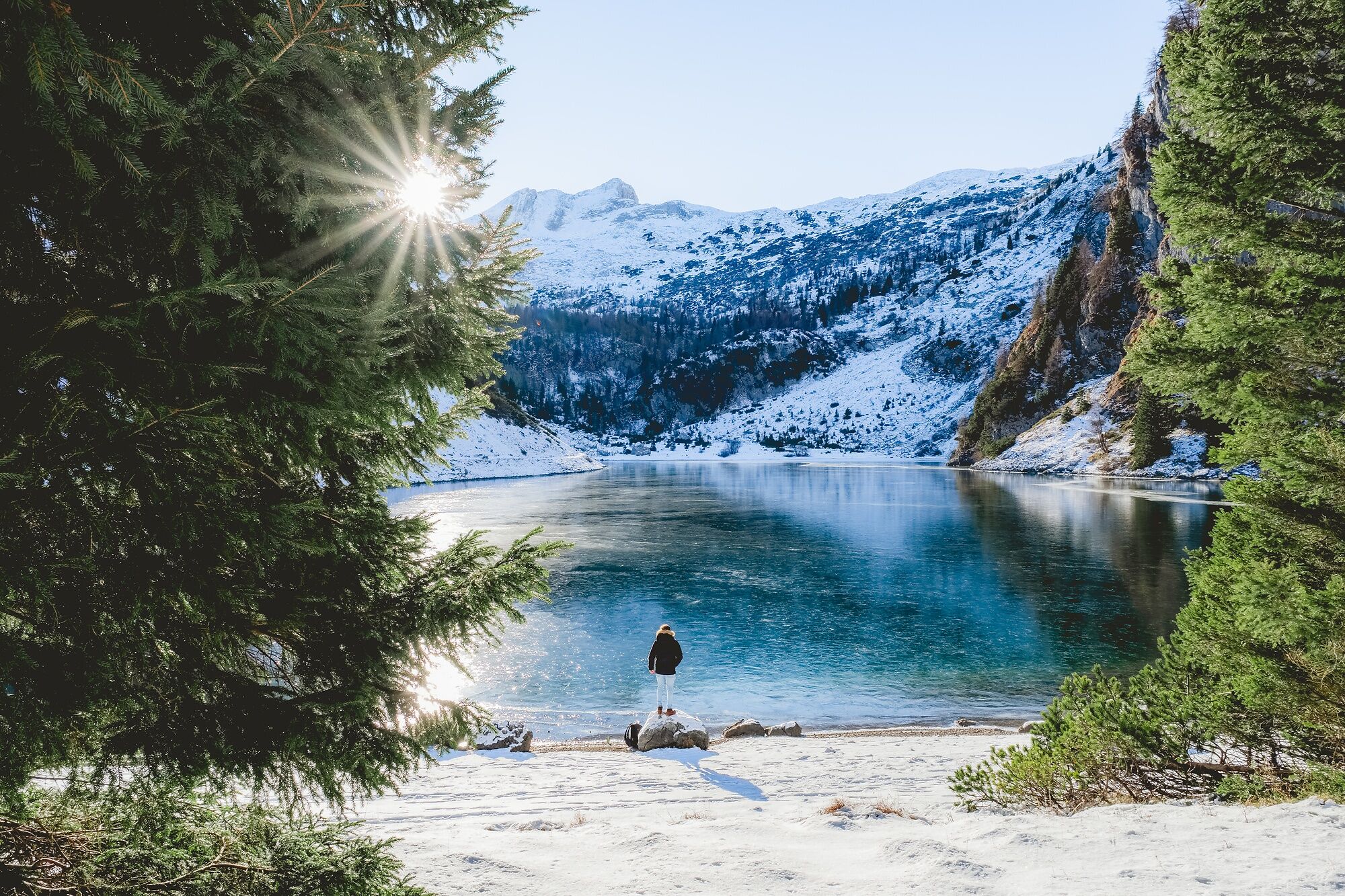
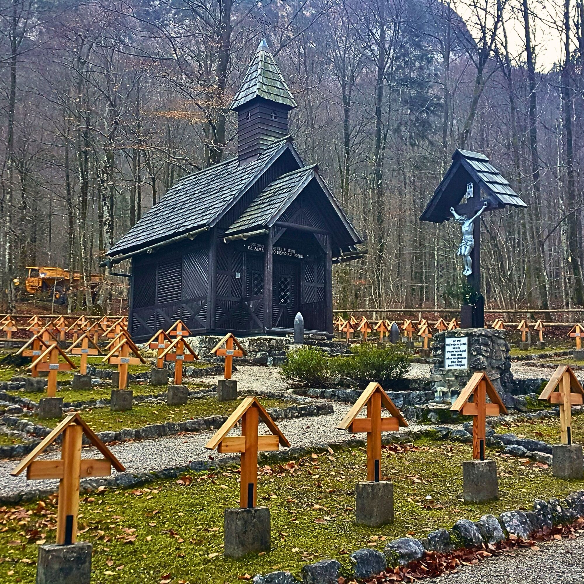
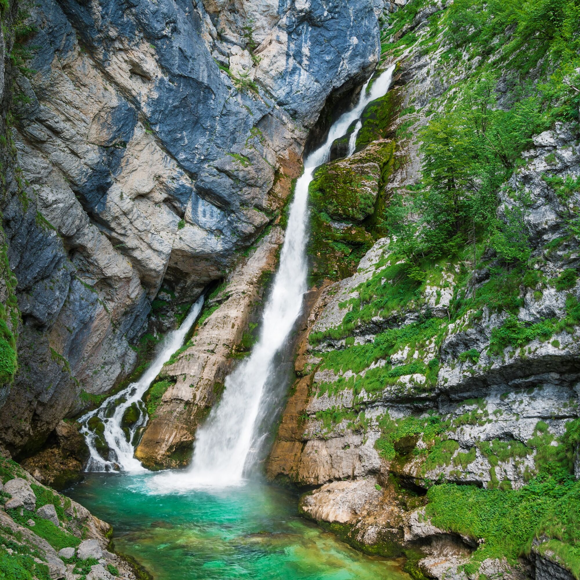
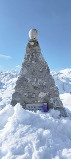
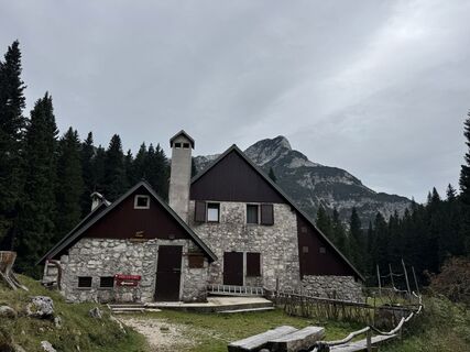
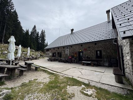
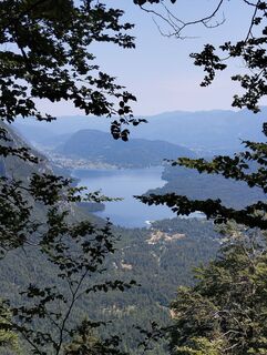
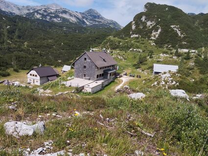
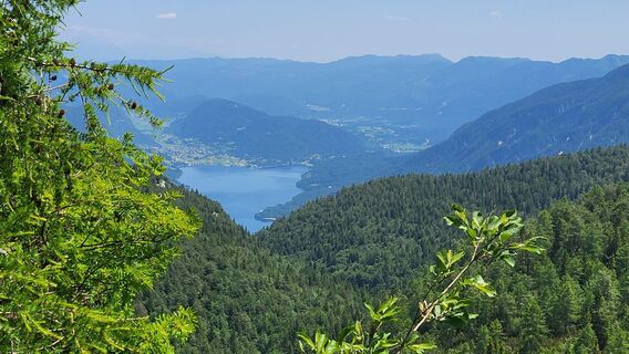
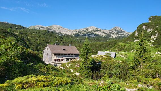
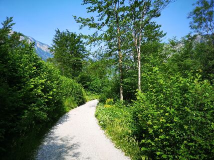
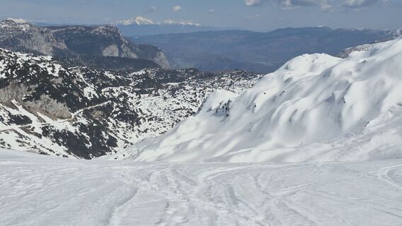
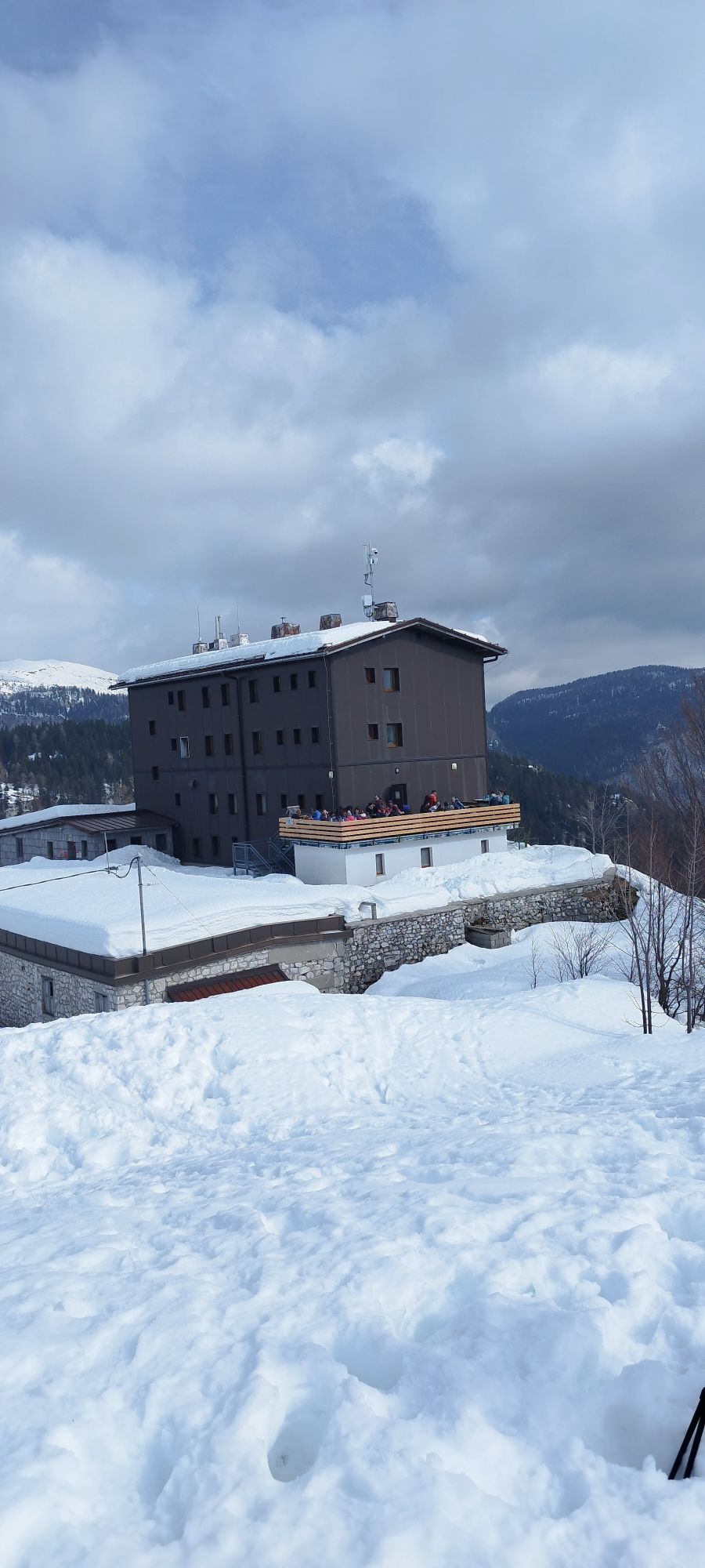
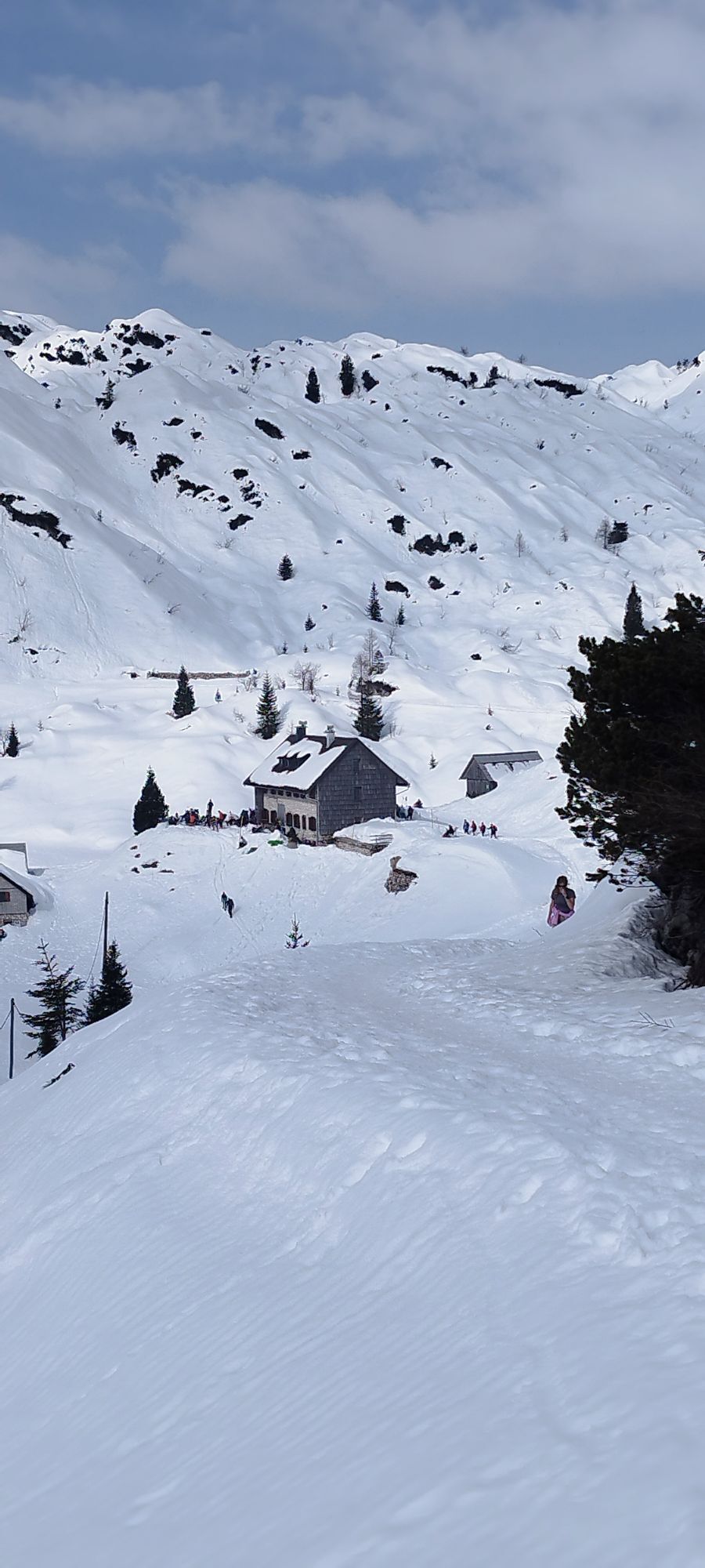
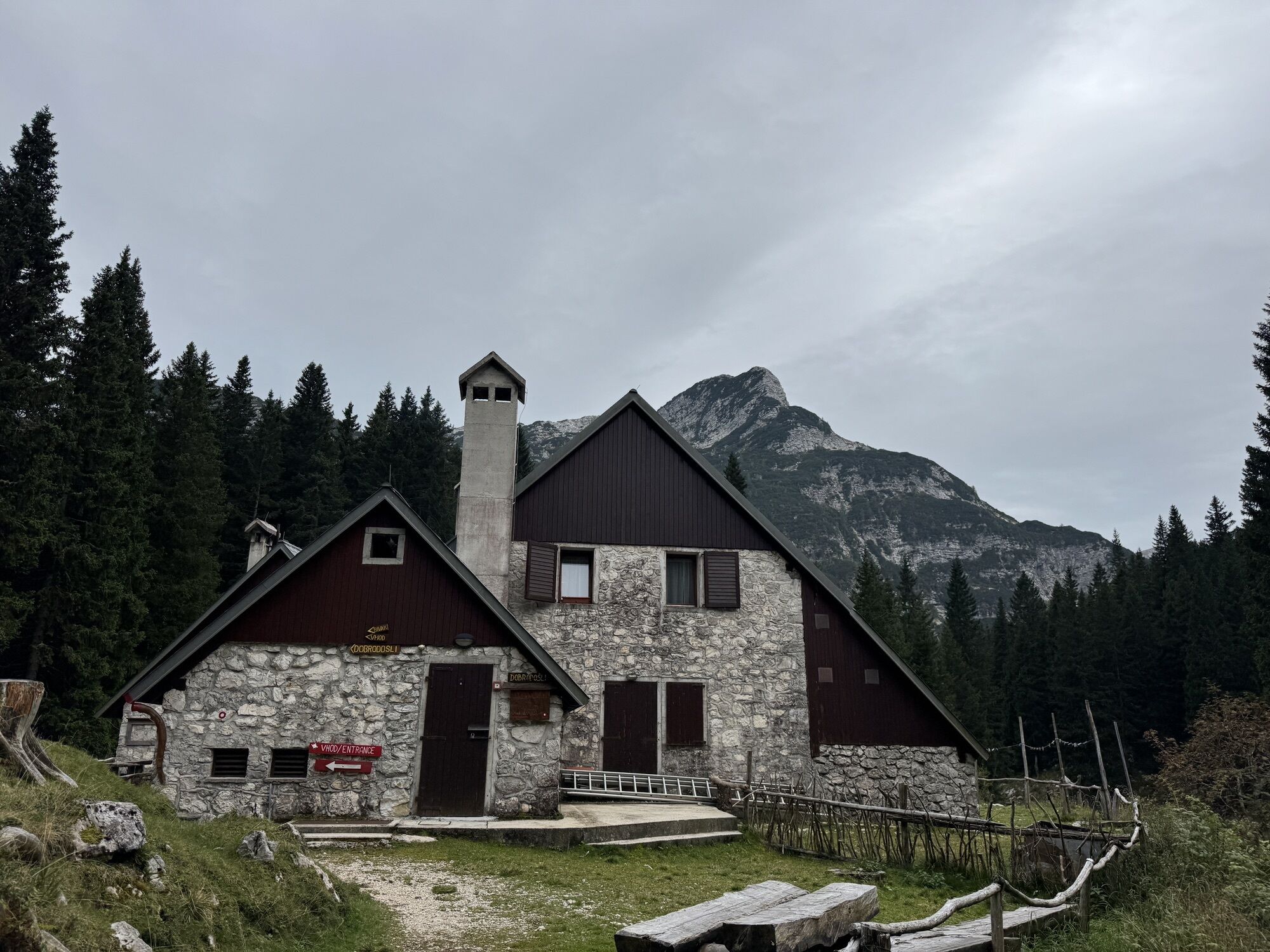
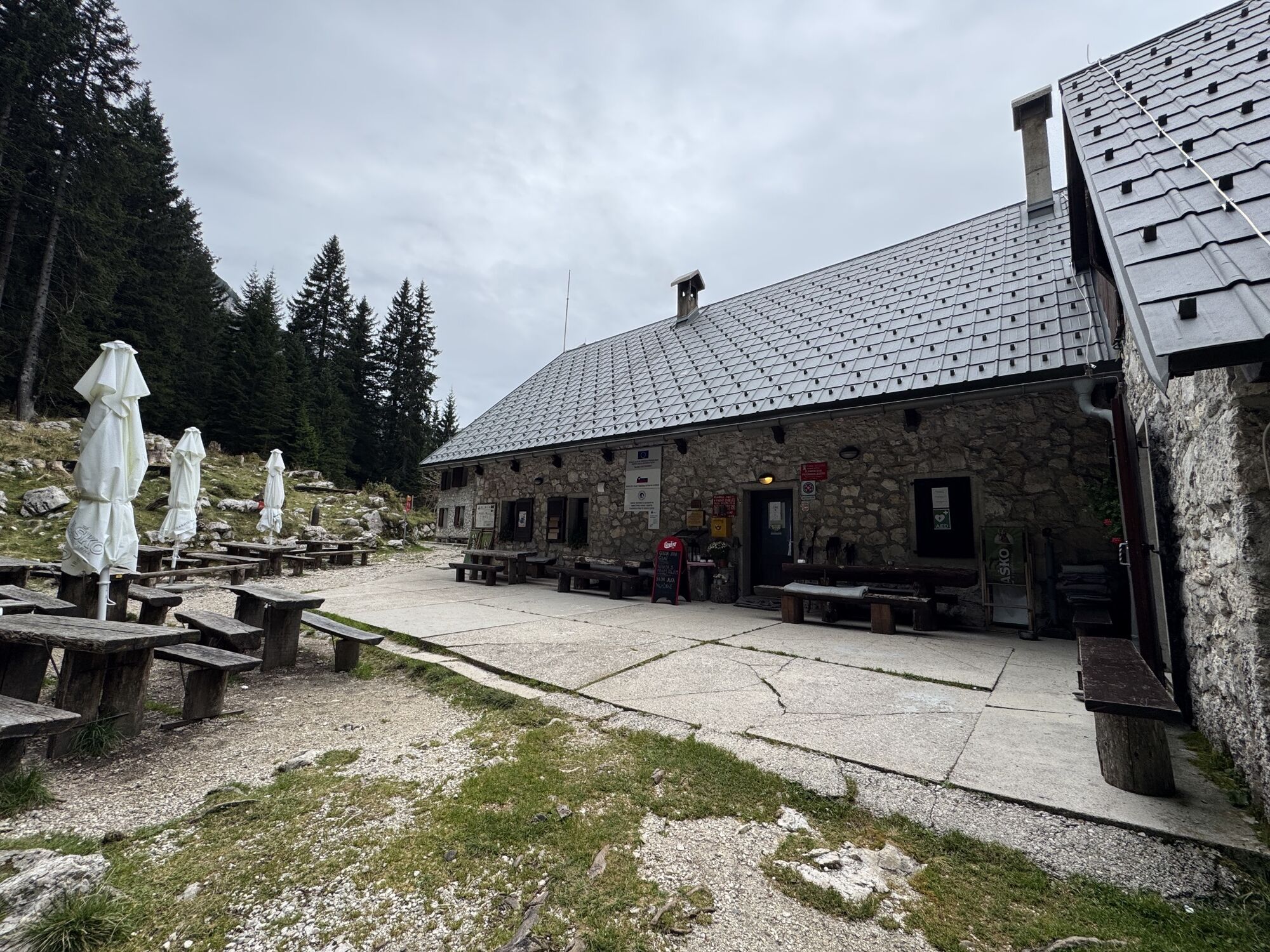
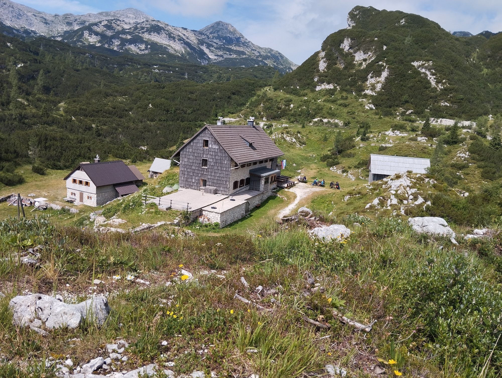
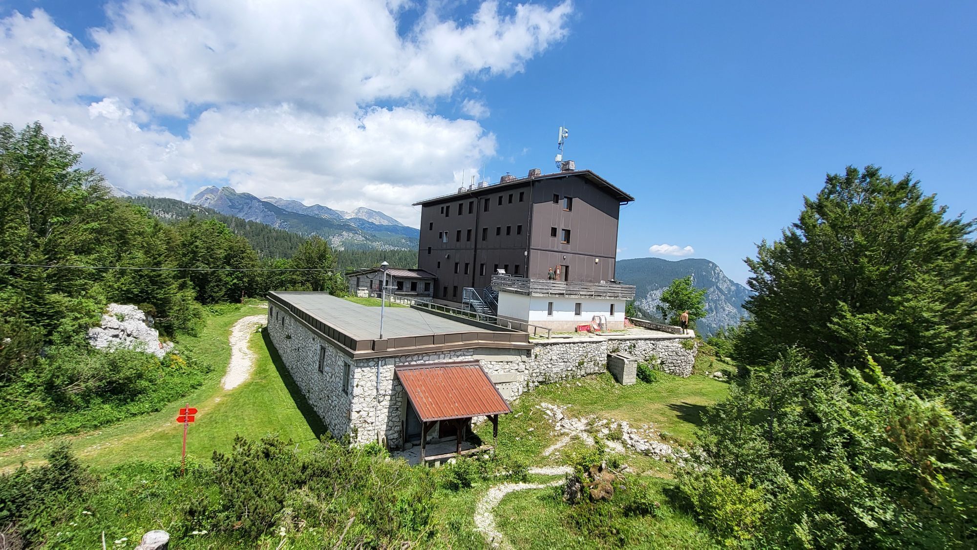
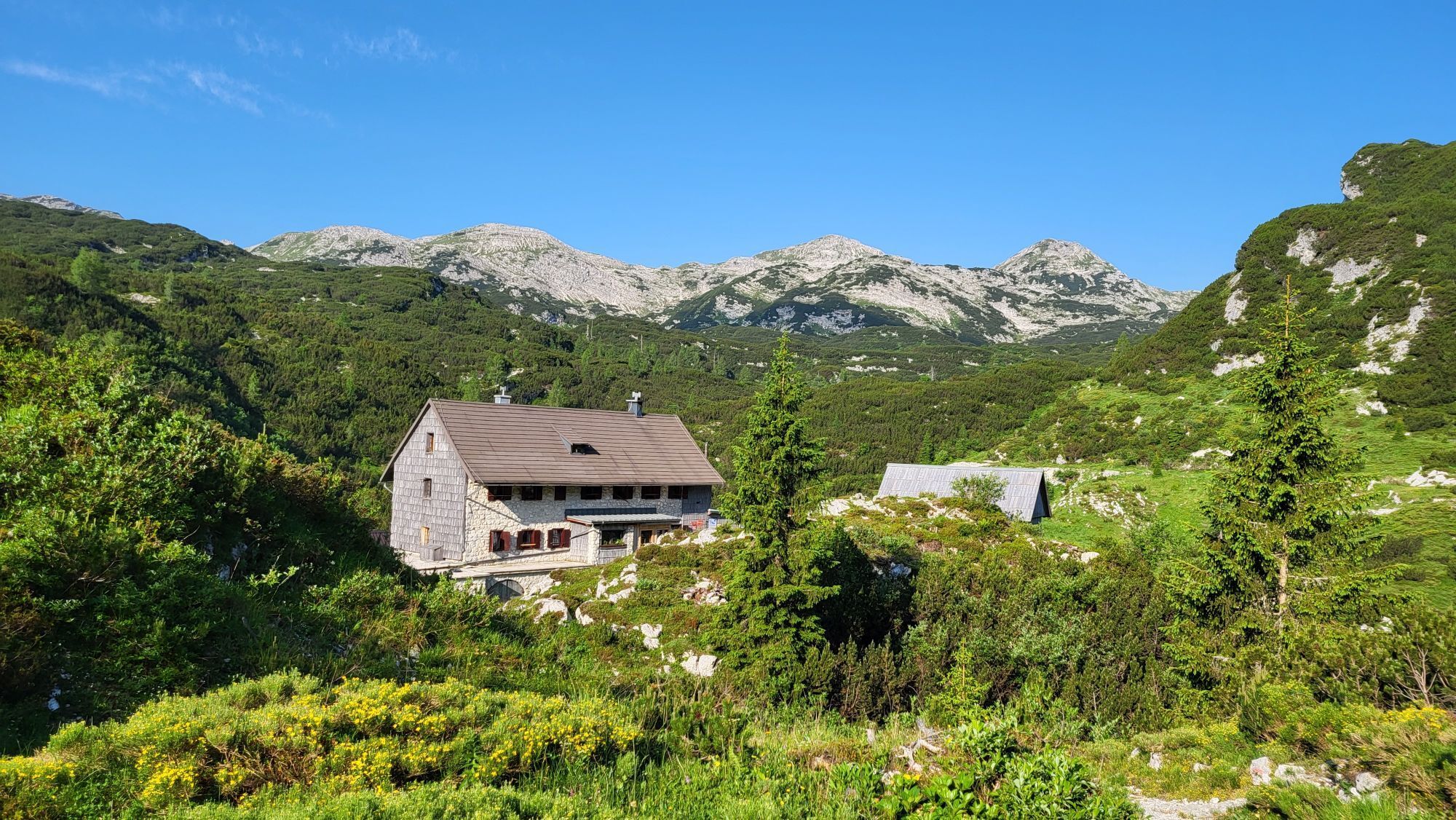
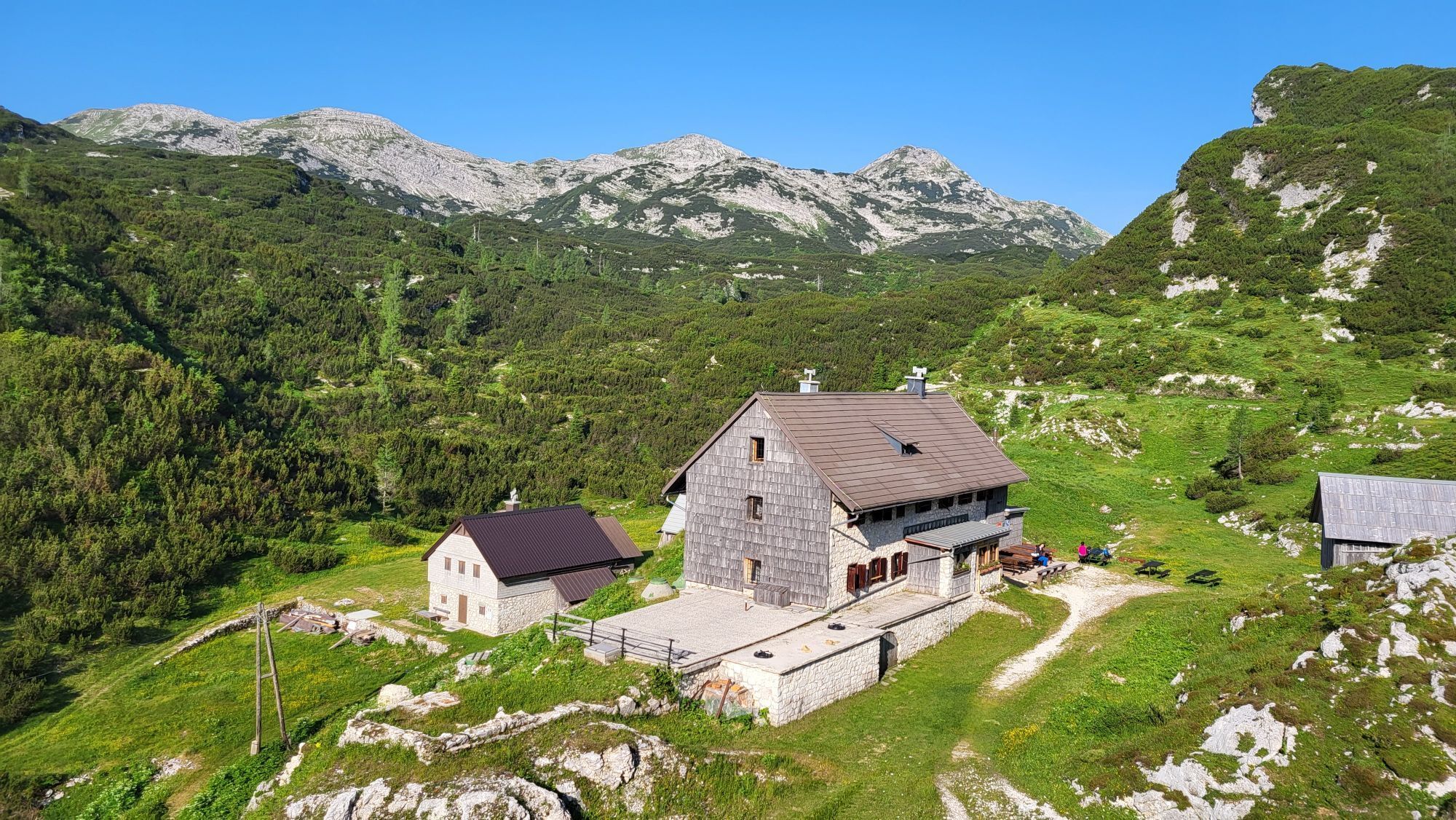
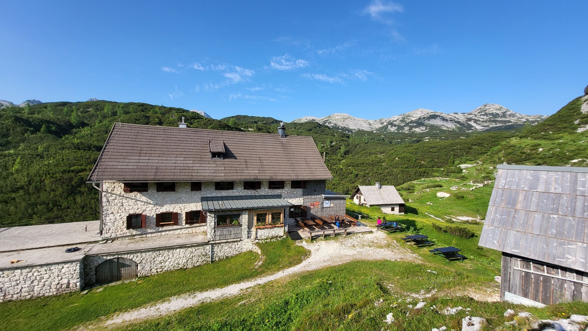
The route starts from the hut near the Krn lakes and heads toward the homonymous lake. Below the Duplje mountain pasture, there is a Hungarian cross where a cemetery that once hosted soldiers of various nationalities stood. From here, it continues towards the Komna plateau along mule tracks and paths that led from Bohinj to the front. In the Za LepoÄami basin, ruins dating back to the Rapallo Treaty period are still visible. From there, the route proceeds to the Bogatin saddle, with a magnificent view of the Komna plateau, then descends through the Gracija valley to the Na kraju mountain pasture where the Dom pod Bogatinom hut is located along with some remains from the Great War. At the edge of the plateau stands the Dom na Komni hut, supplied by a funicular built where the cableway that brought supplies to the battlefield used to pass. The route continues along a mule track to the foot of the KomarÄa wall, the departure point for excursions to the Savica river waterfall. From here, a path leads to Ukanc, the stage endpoint.
Trekking shoes and clothing, packed food and drinks, flashlight, trekking poles
This stage is for experienced hikers
Summer bus lines:
Bovec–Lepena–Bovec (Hop on-Hop off)
Bohinjska Bistrica–Bohinjsko jezero–Ukanc–Savica (June 24–September 24)
Regular bus lines:
Tolmin–Kobarid–Bovec
Bled–Bohinjska Bistrica
Train connections:
Jesenice–Bohinjska Bistrica–Most na SoÄi–Nova Gorica
Departure: /
Arrival: paid parking near the lake opposite the campsite (at the junction where you turn toward Vogel) or at the KoÄa pri Savici hut
Webové kamery z prehliadky
Aktivity počas prehliadky
-

Wandern
05.05.2026 – Turistika -
Bohinj, Slovenia
03.05.2026 – Turistika -

Bohinj, Slovenia
26.04.2026 – Zimná turistika -
Bohinj, Slovenia
07.04.2026 – Turistika -

K2
29.03.2026 – Turistika -
Bohinj, Slovenia
08.03.2026 – Turistika -
Koča pod Bogatinom in Komna
01.03.2026 – Horská turistika -

Komna
15.02.2026 – Turistika -

Bohinj, Slovenia
08.02.2026 – Turistika -
Bohinj, Slovenia
01.02.2026 – Turistika -

Bohinj, Slovenia
27.11.2025 – Turistika -

Bohinj, Slovenia
18.10.2025 – Turistika -

Bohinj, Slovenia
17.10.2025 – Turistika -
Wochein, Slowenien
21.09.2025 – Turistika -

Ukanc, Komna Bogatin
18.09.2025 – Turistika -
Bohinj, Slovenia
05.07.2025 – Turistika -

Bohinj, Slovenia
26.06.2025 – Turistika -

Wochein, Slowenien
08.10.2022 – Turistika
Obľúbené výlety v okolí
-
4,8
Krma - Triglav
ťažkéHorská turistika 18,6 km -
4,7
Viševnik 2050m
svetloHorská turistika 6,97 km -
4,4
Kozjak Wasserfall und Soča
svetloTuristika 5,18 km -
4,4
Savica Wasserfall
strednáTuristika 1,89 km -
4,9
Triglav
ťažkéVysoké turné 12,1 km -
4,6
Roundthelake
svetloTuristika 11,4 km -
5,0
Triglav lakes hike
ťažkéTuristika 23,7 km -
4,2
Slap Slavica
strednáTuristika 9,62 km -
4,6
Rudno polje-Viševnik
strednáZimná turistika 7,15 km -
4,8
Mostnica Gorge
strednáTuristika 4,93 km

Turistika a stopovanie


Nenechajte si ujsť ponuky a inšpiráciu na ďalšiu dovolenku
Vaša e-mailová adresa bol pridaný do poštového zoznamu.