


Mangart via the normal route
Úroveň náročnosti: T3
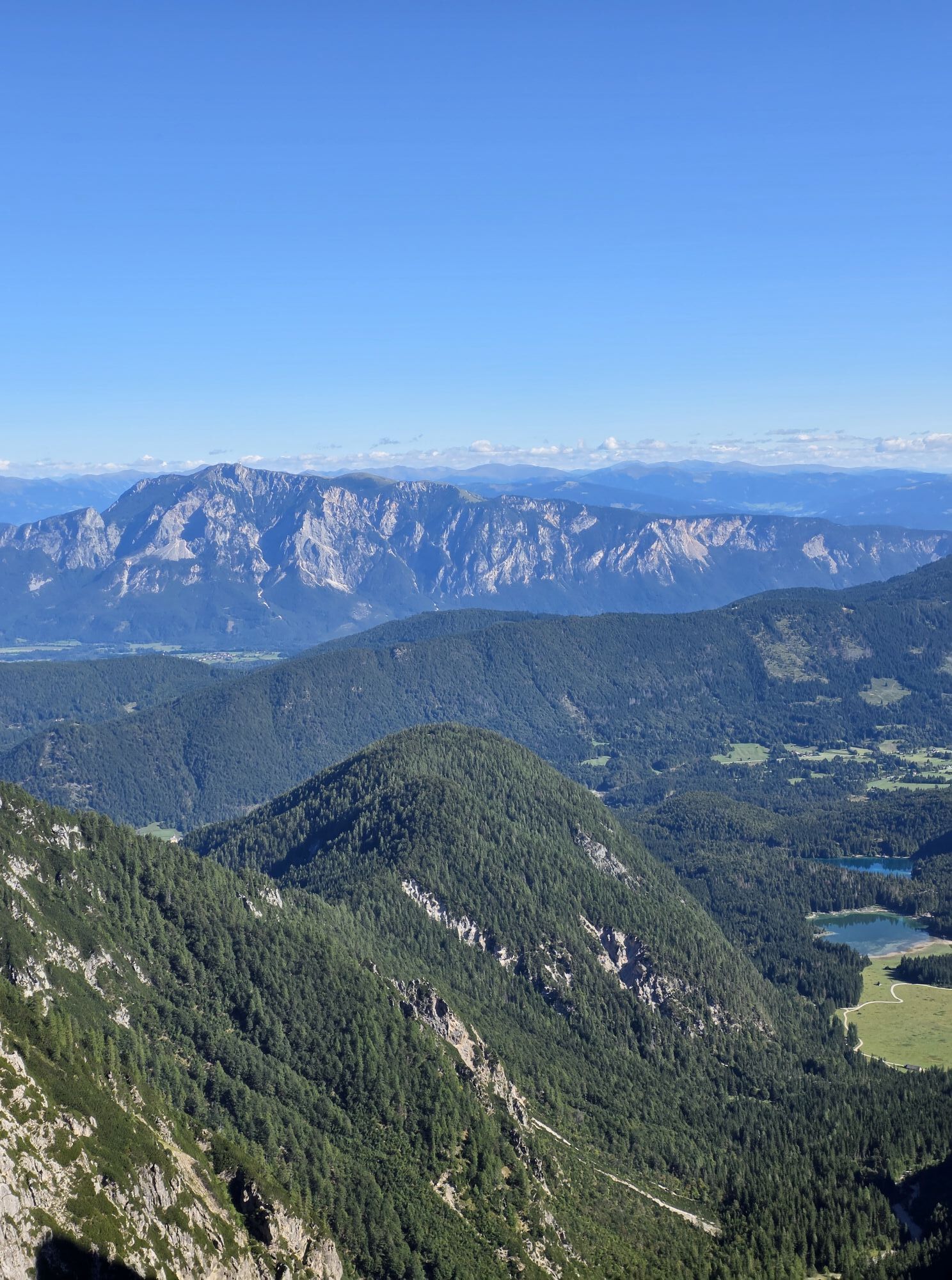
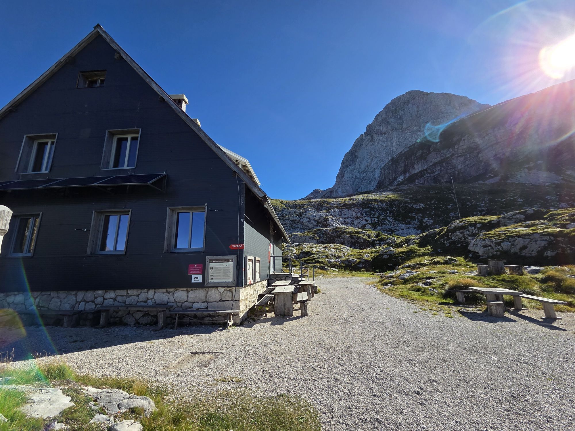
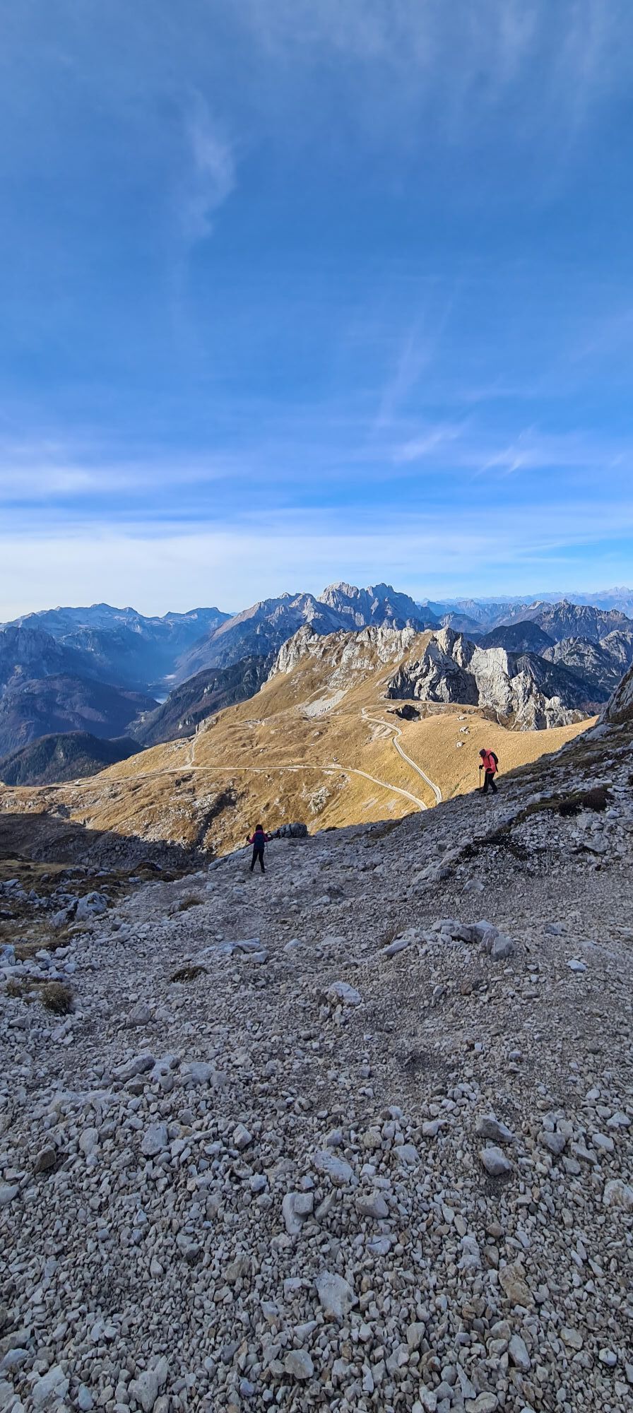
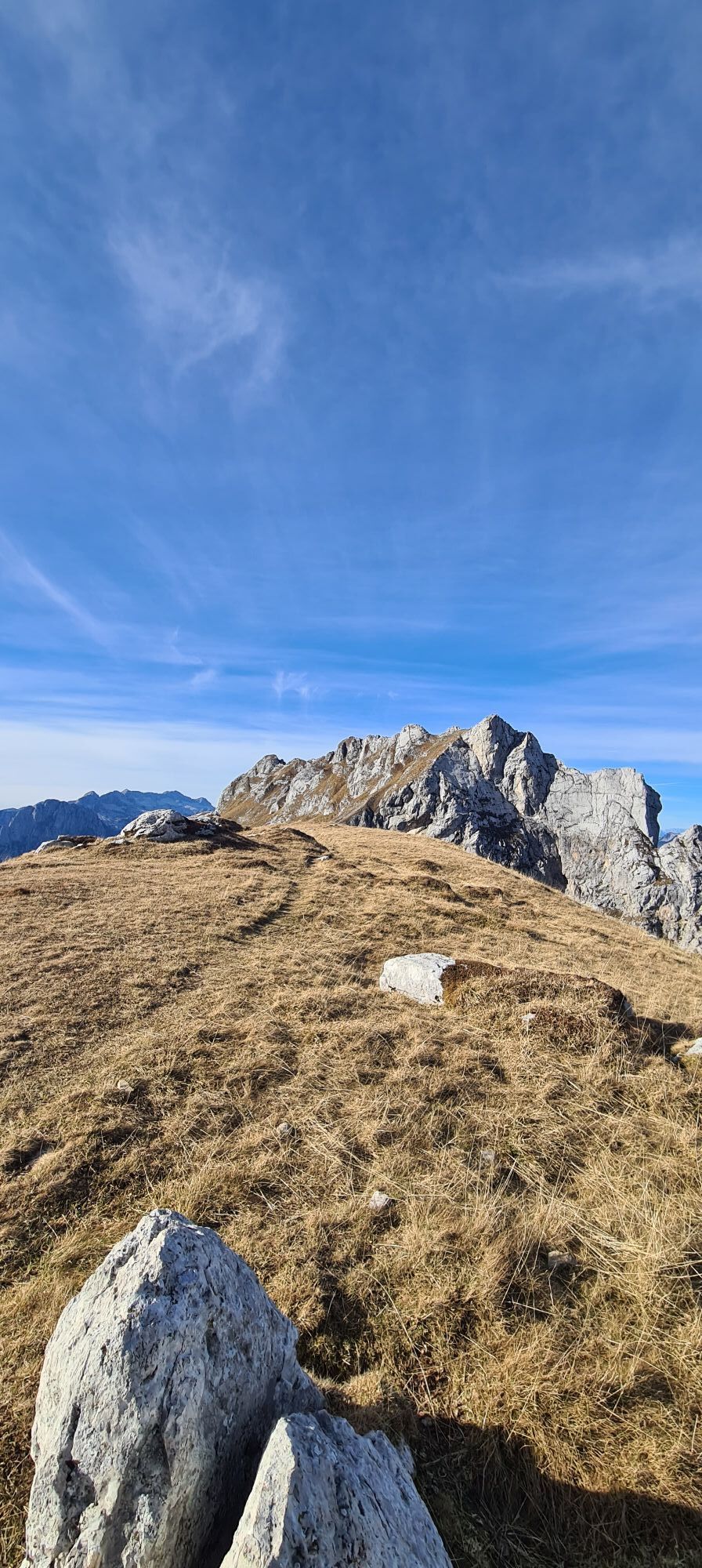

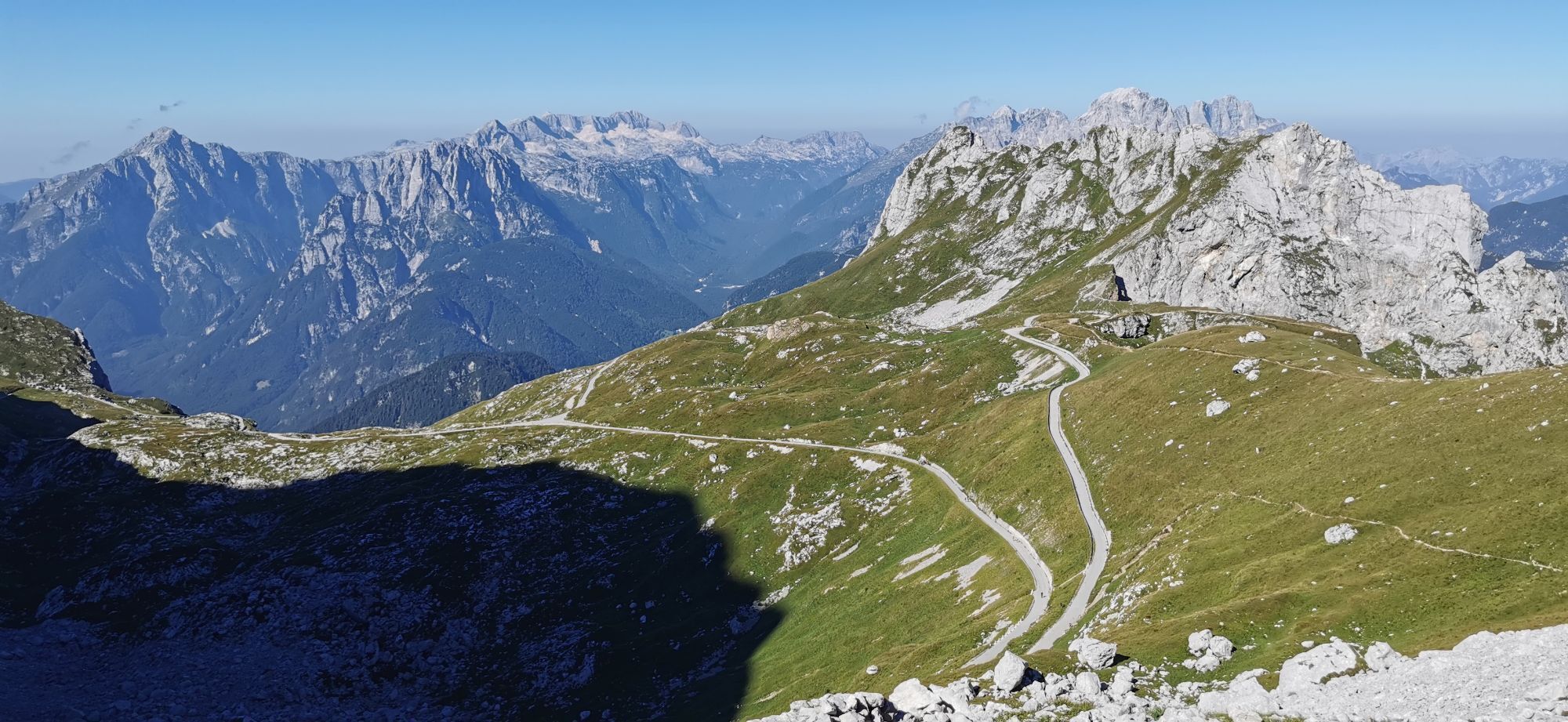
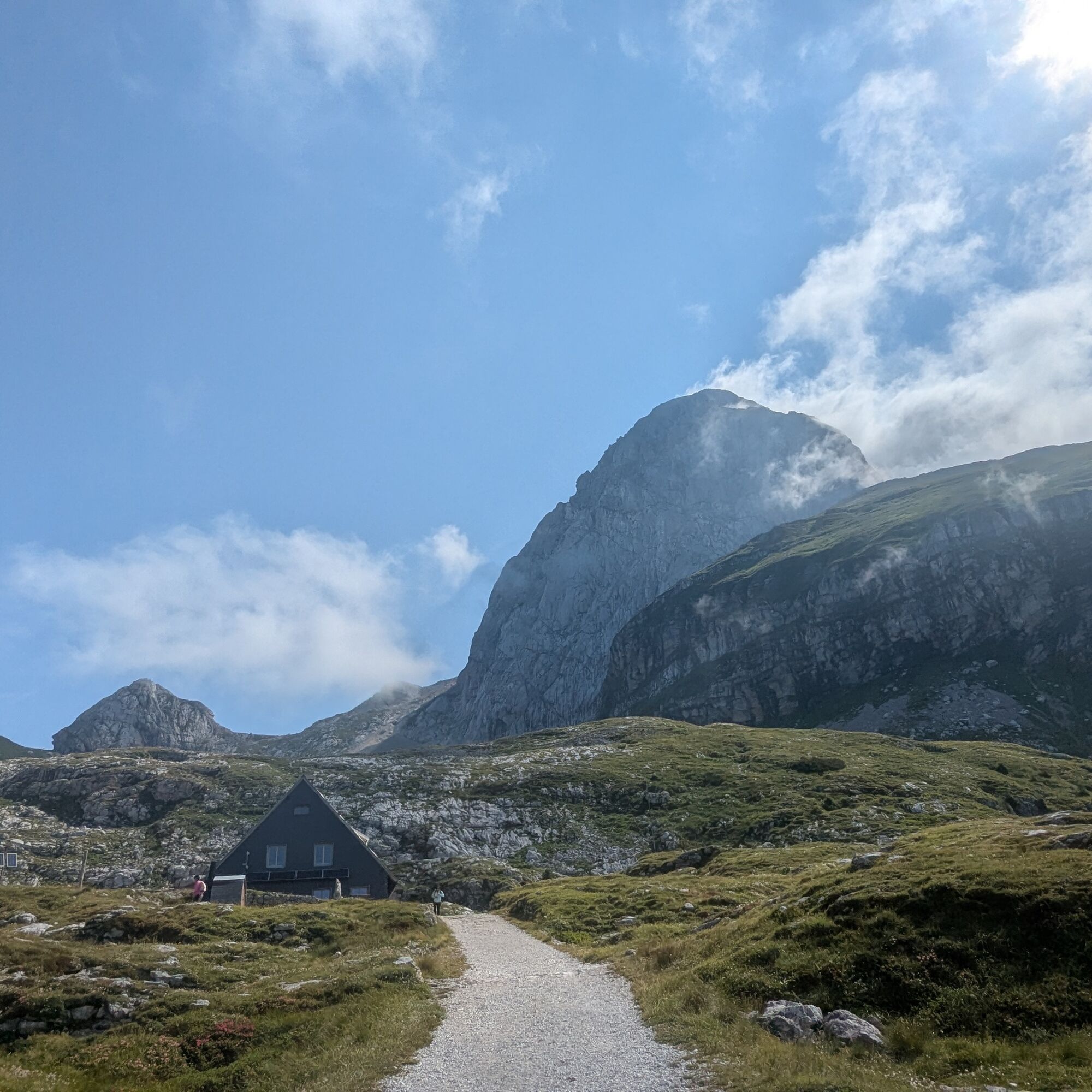
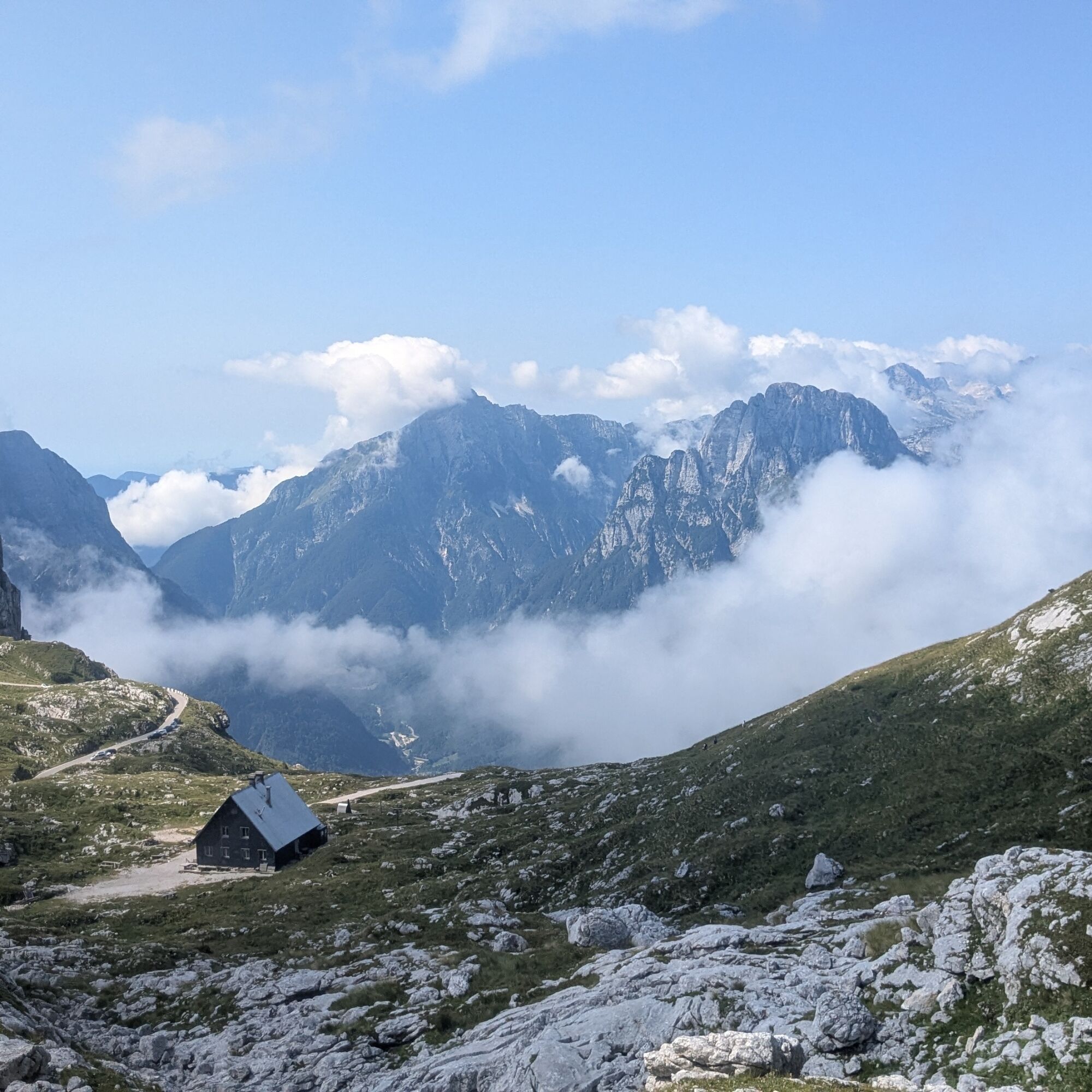
On the Slovenian side, we take the Mangart Road (toll road) and leave the car where possible. We first climb up to the Mangrtskem na sedlu hut (1906 m, closing in 2025 for renovations) and ascend along...
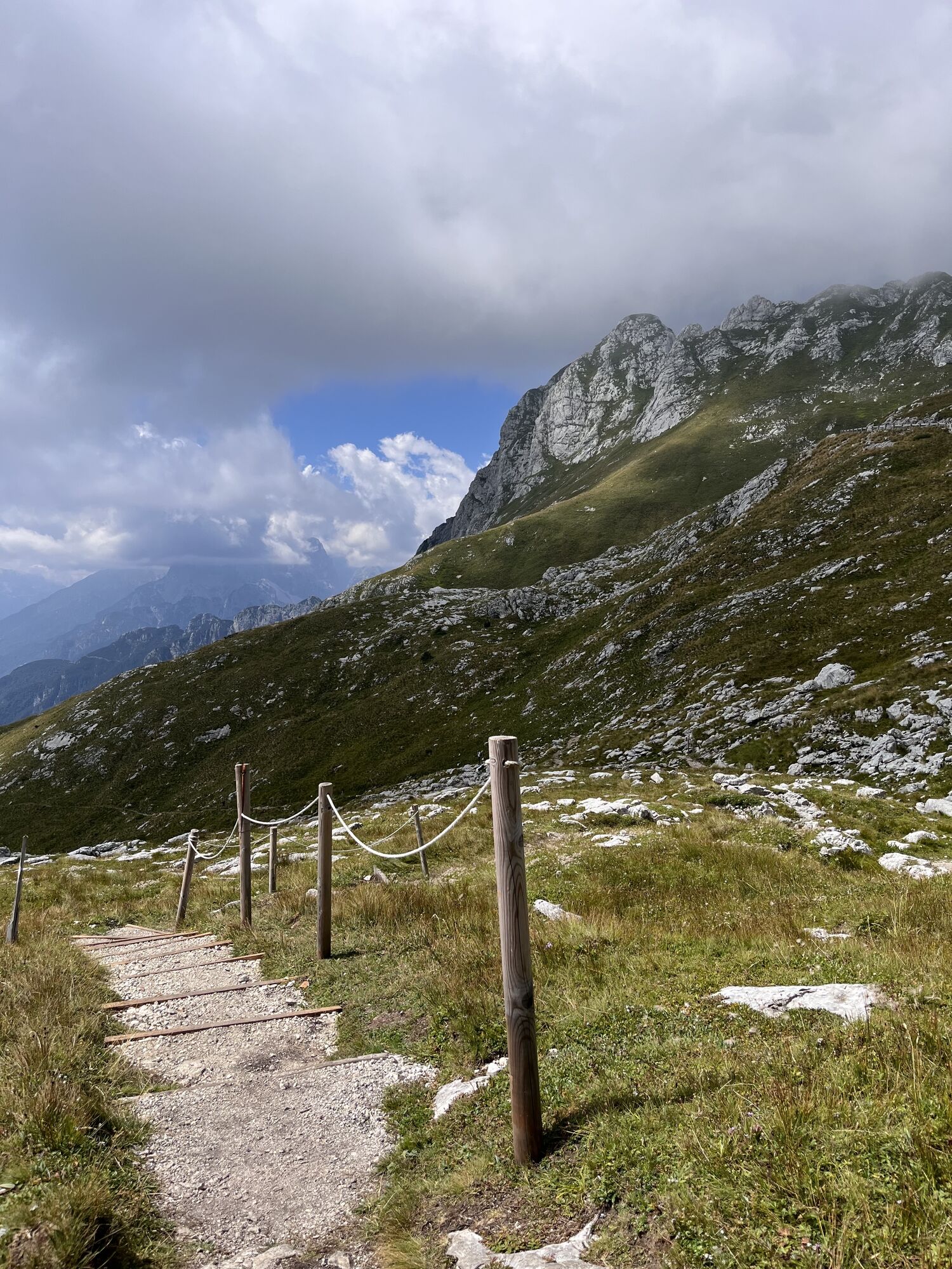
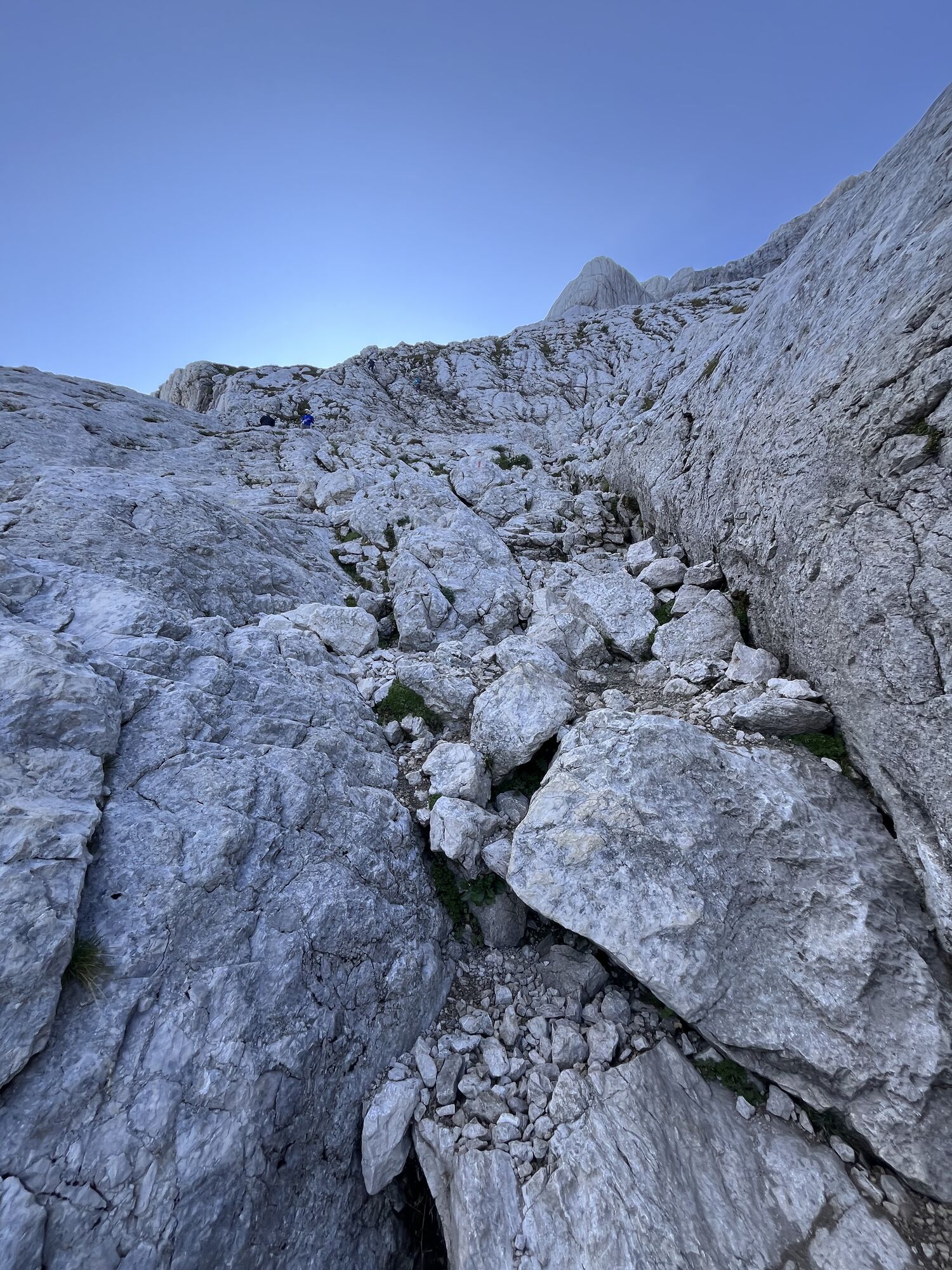
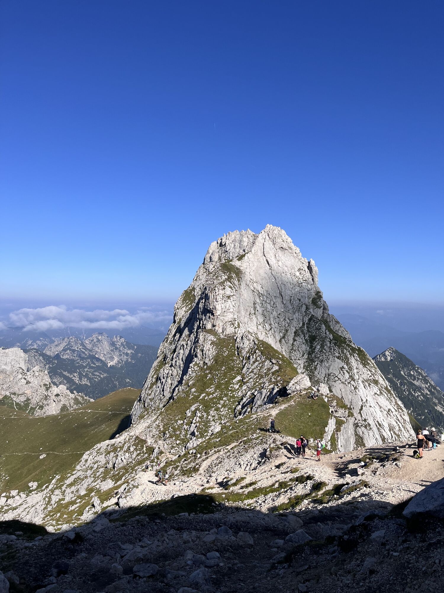
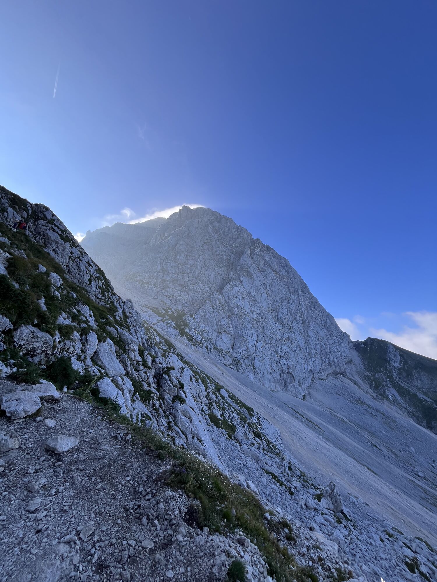
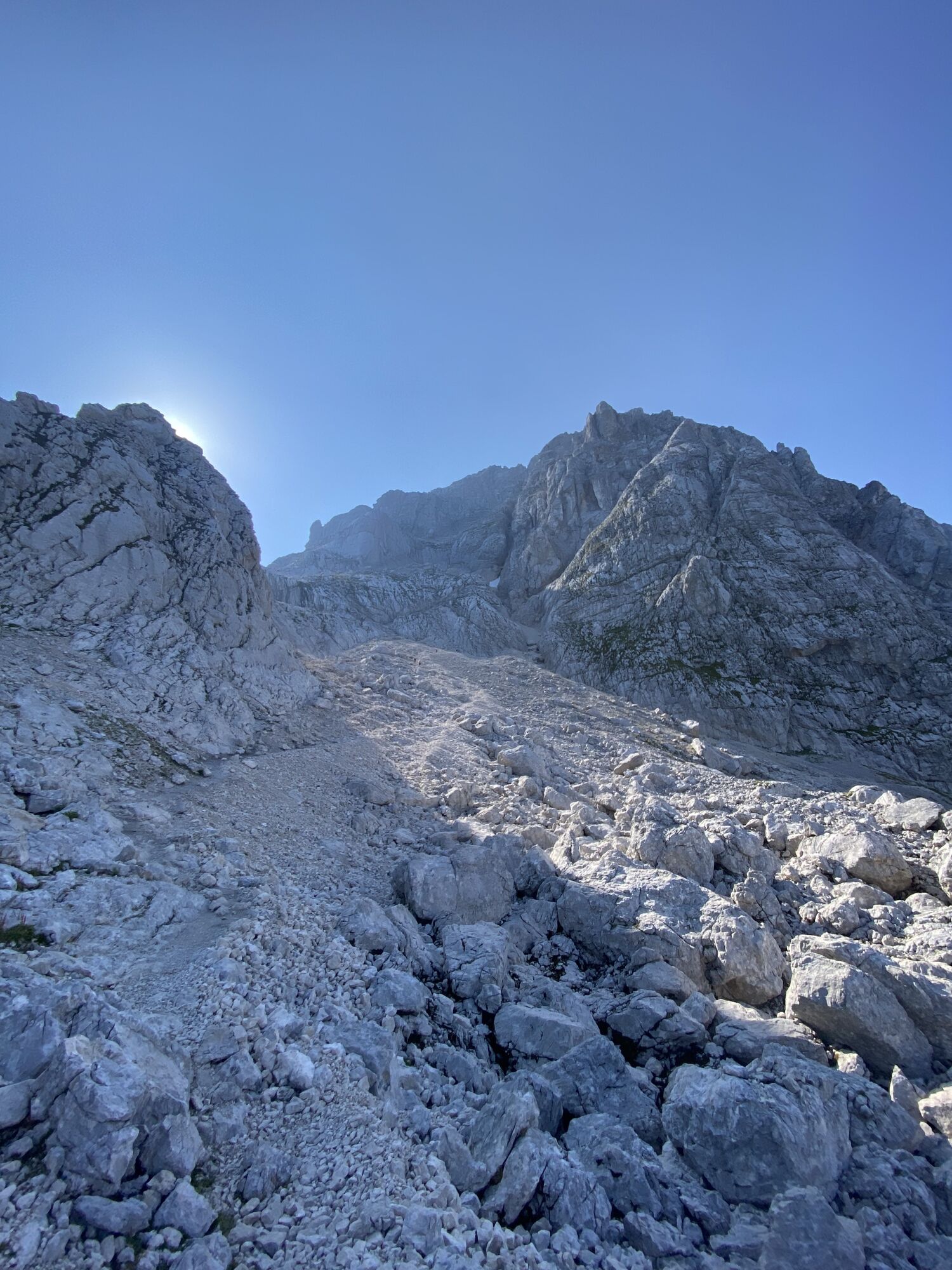
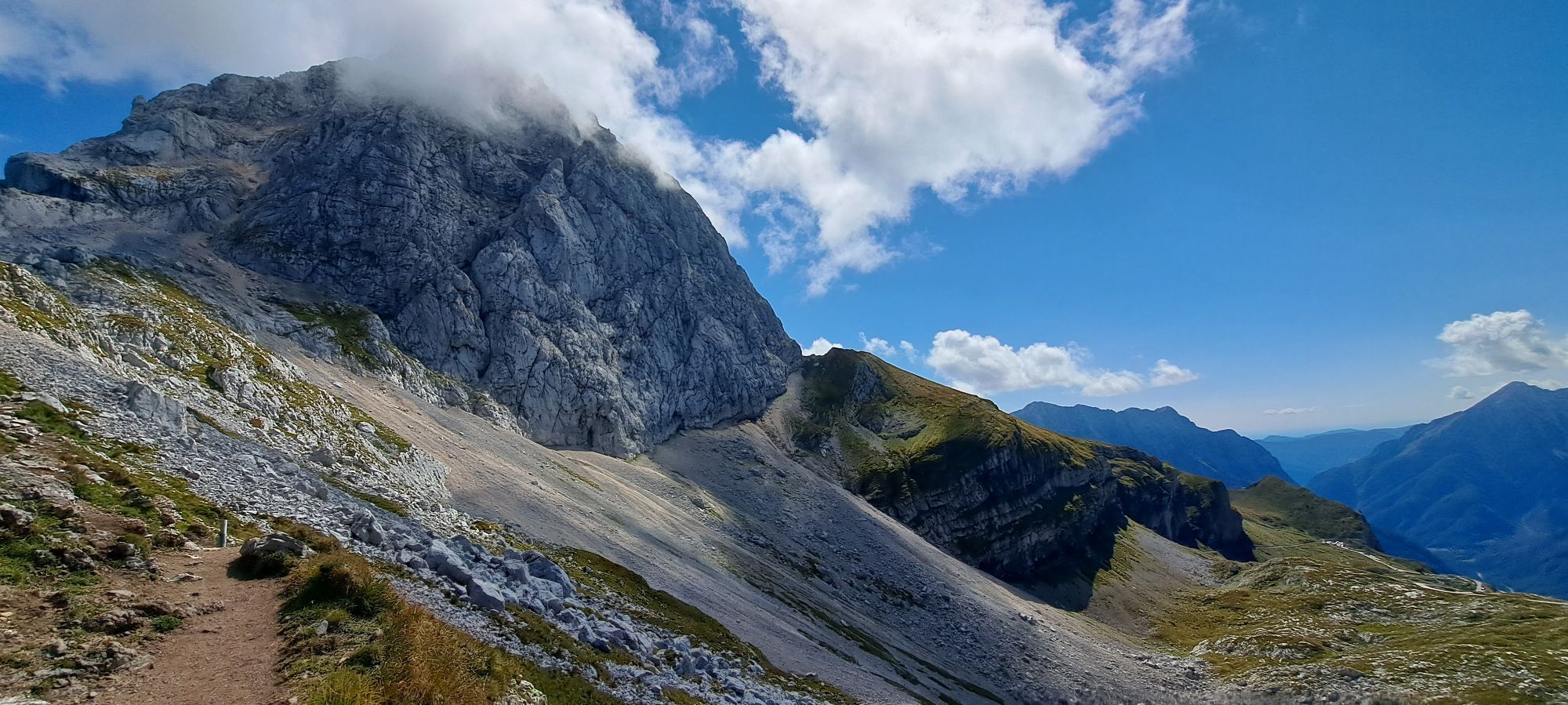
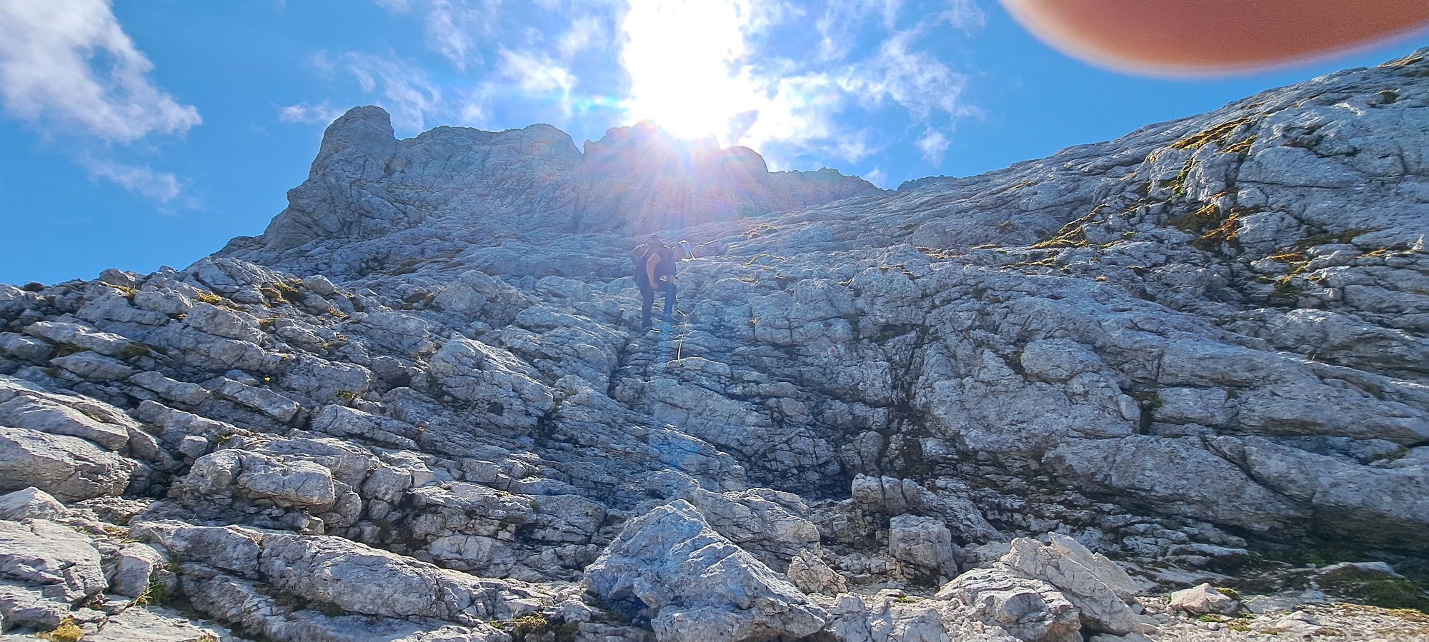
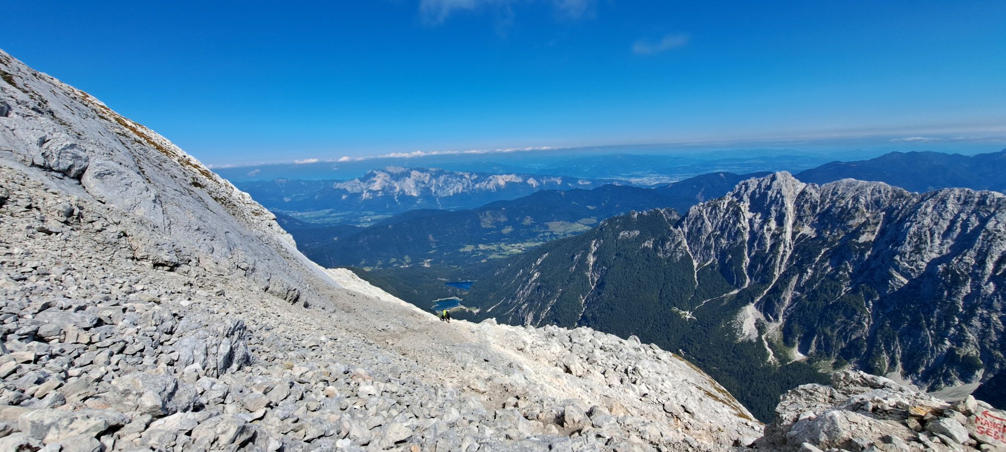
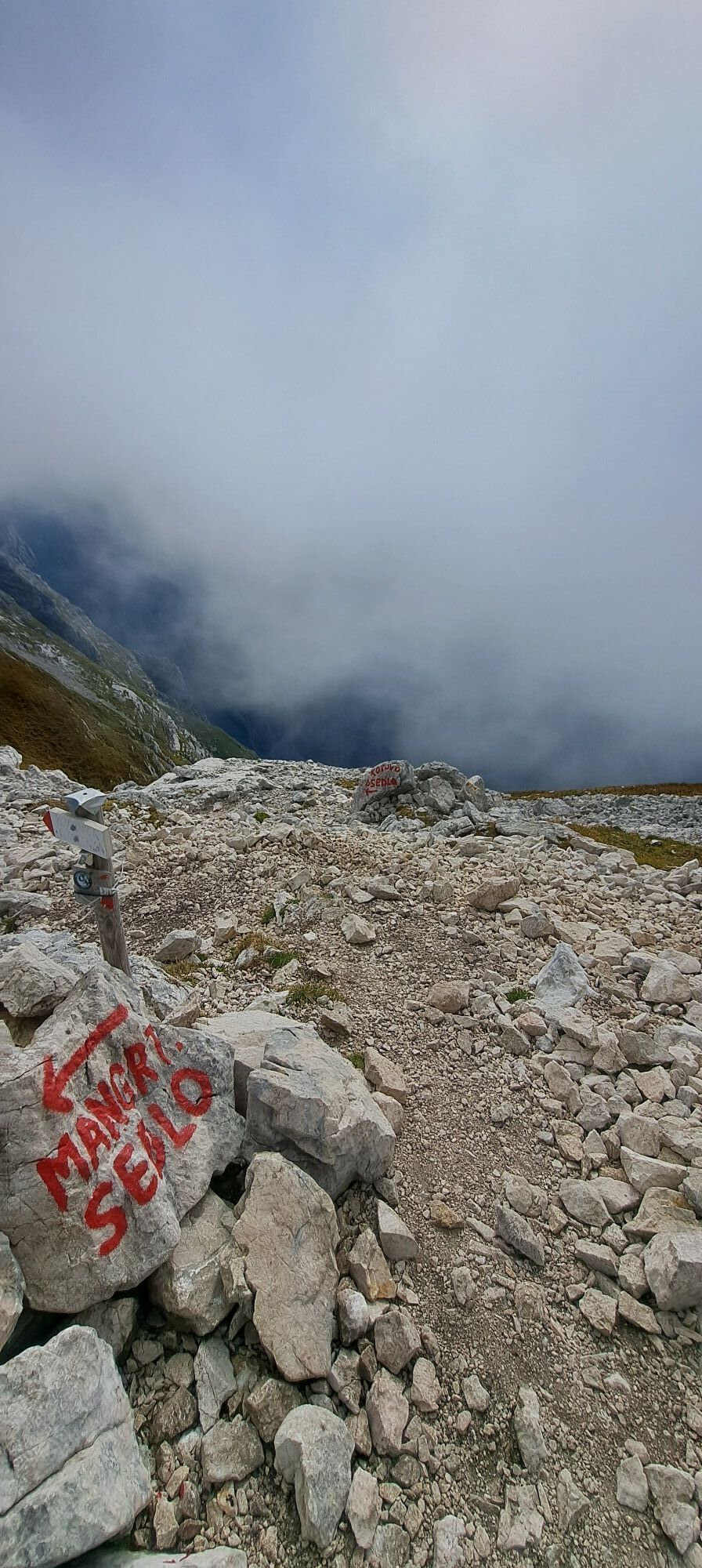
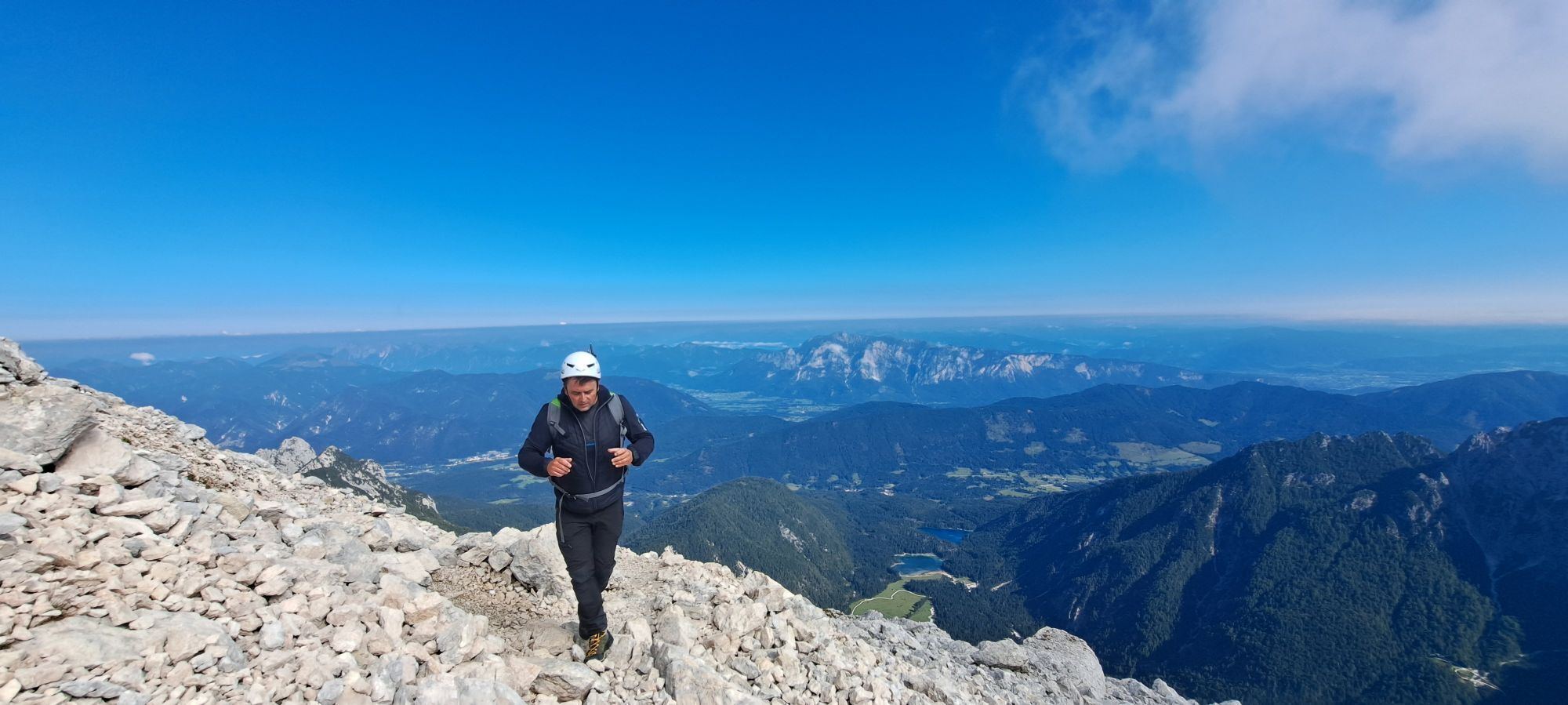
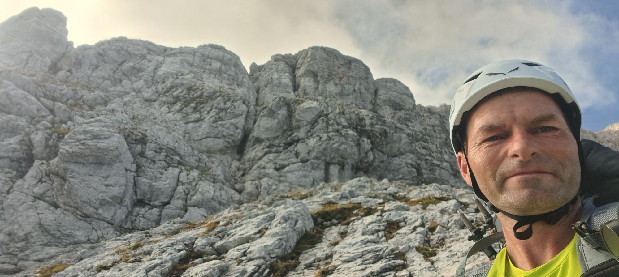
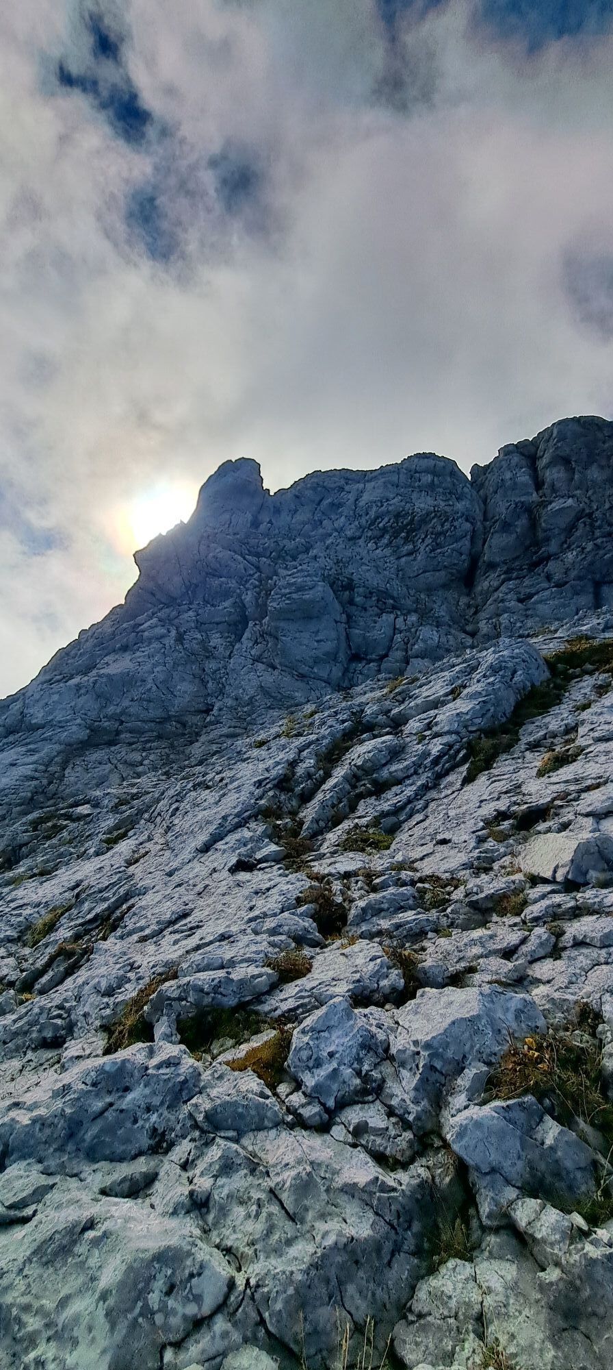
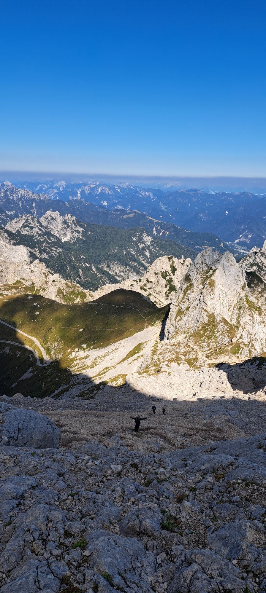
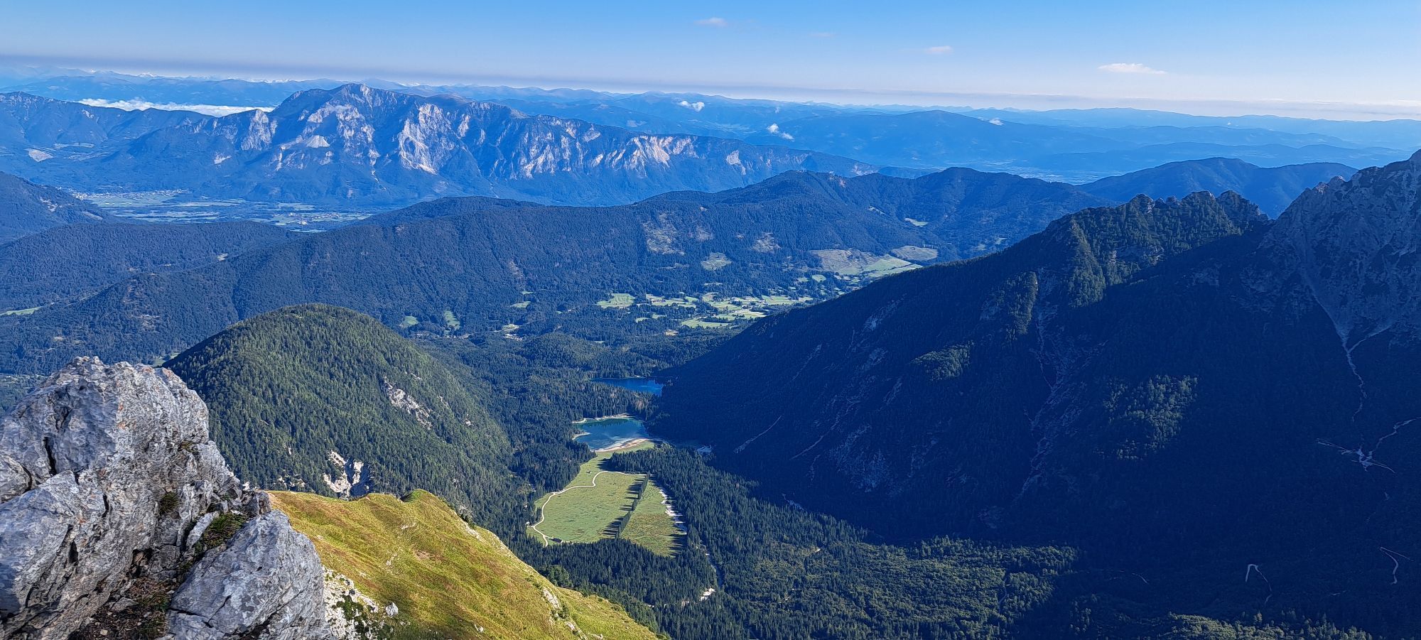
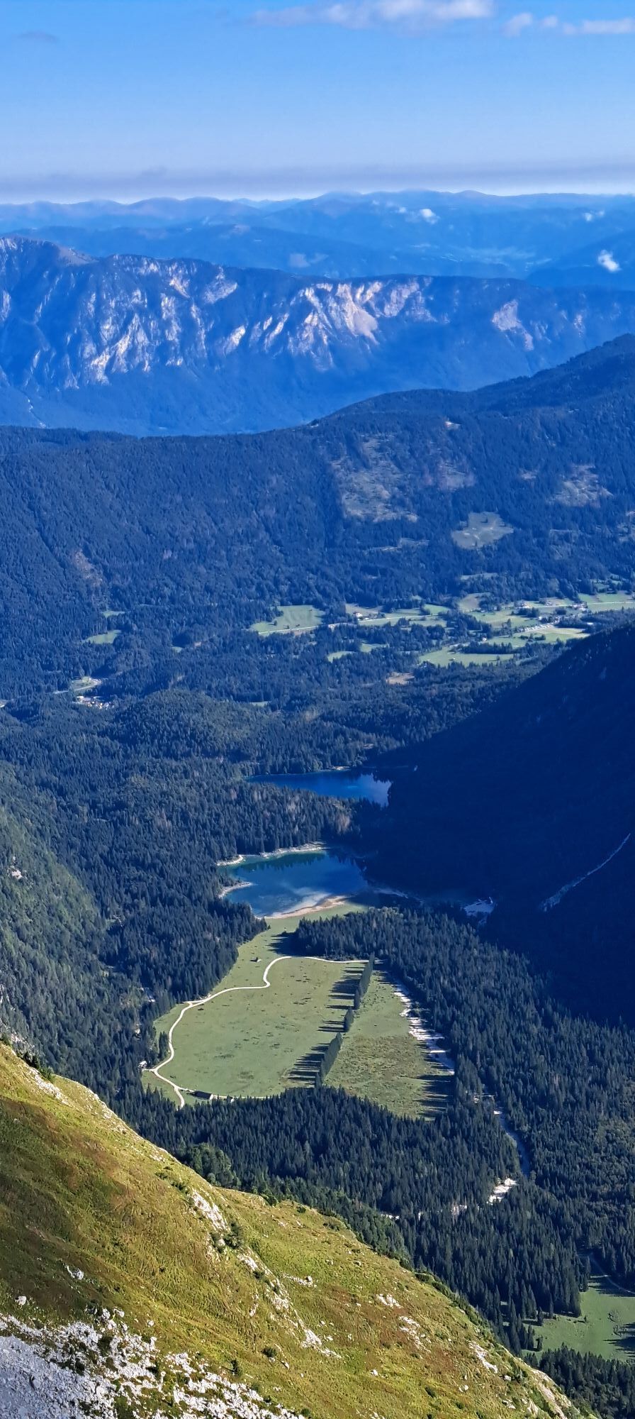
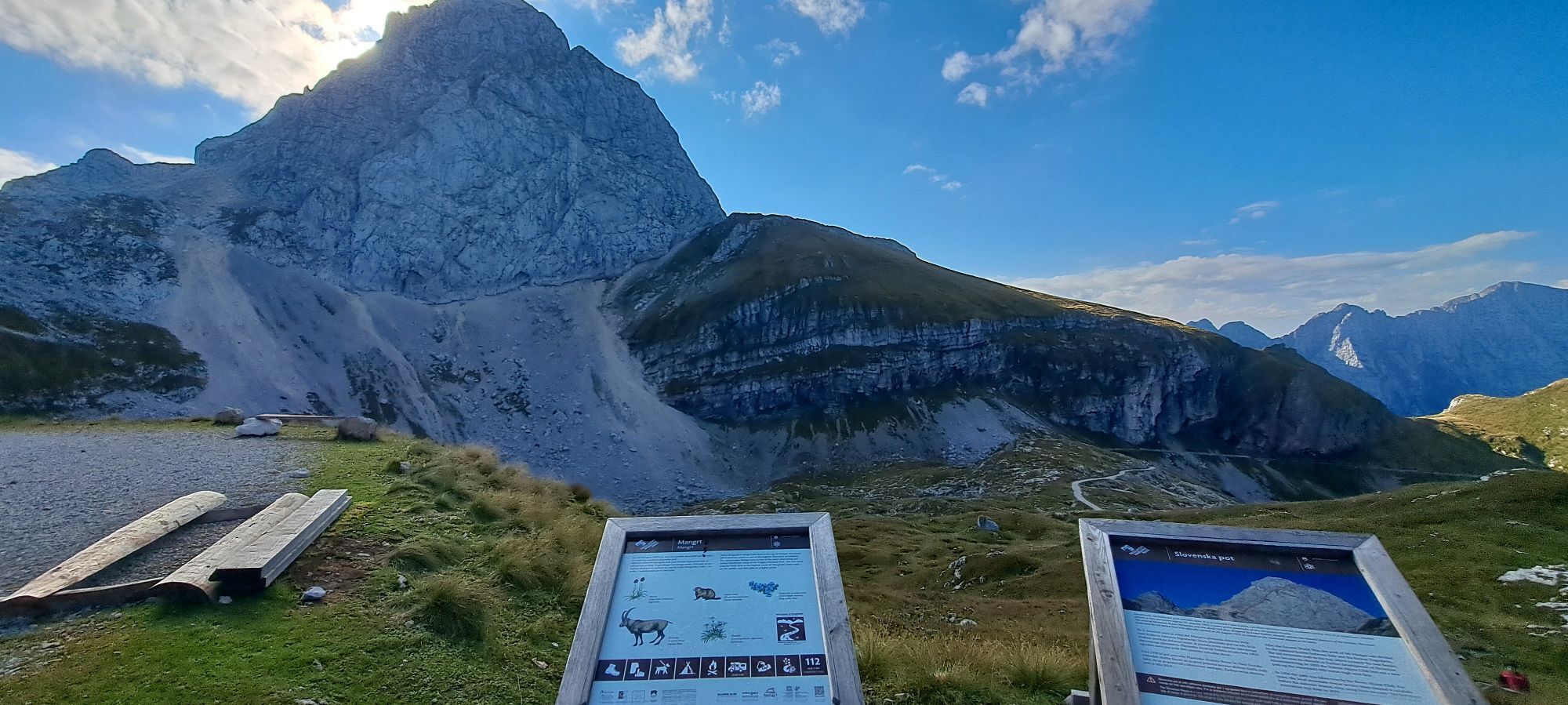
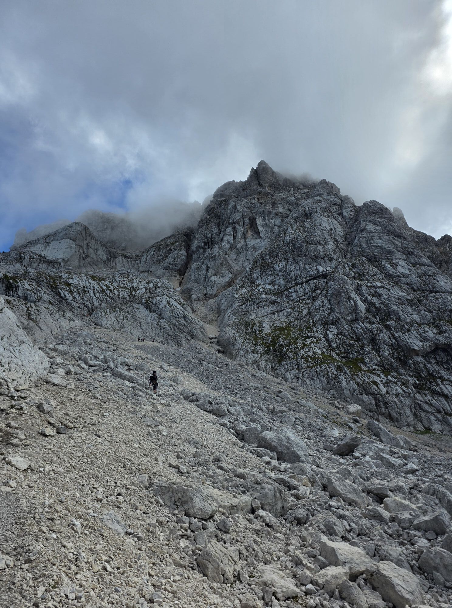
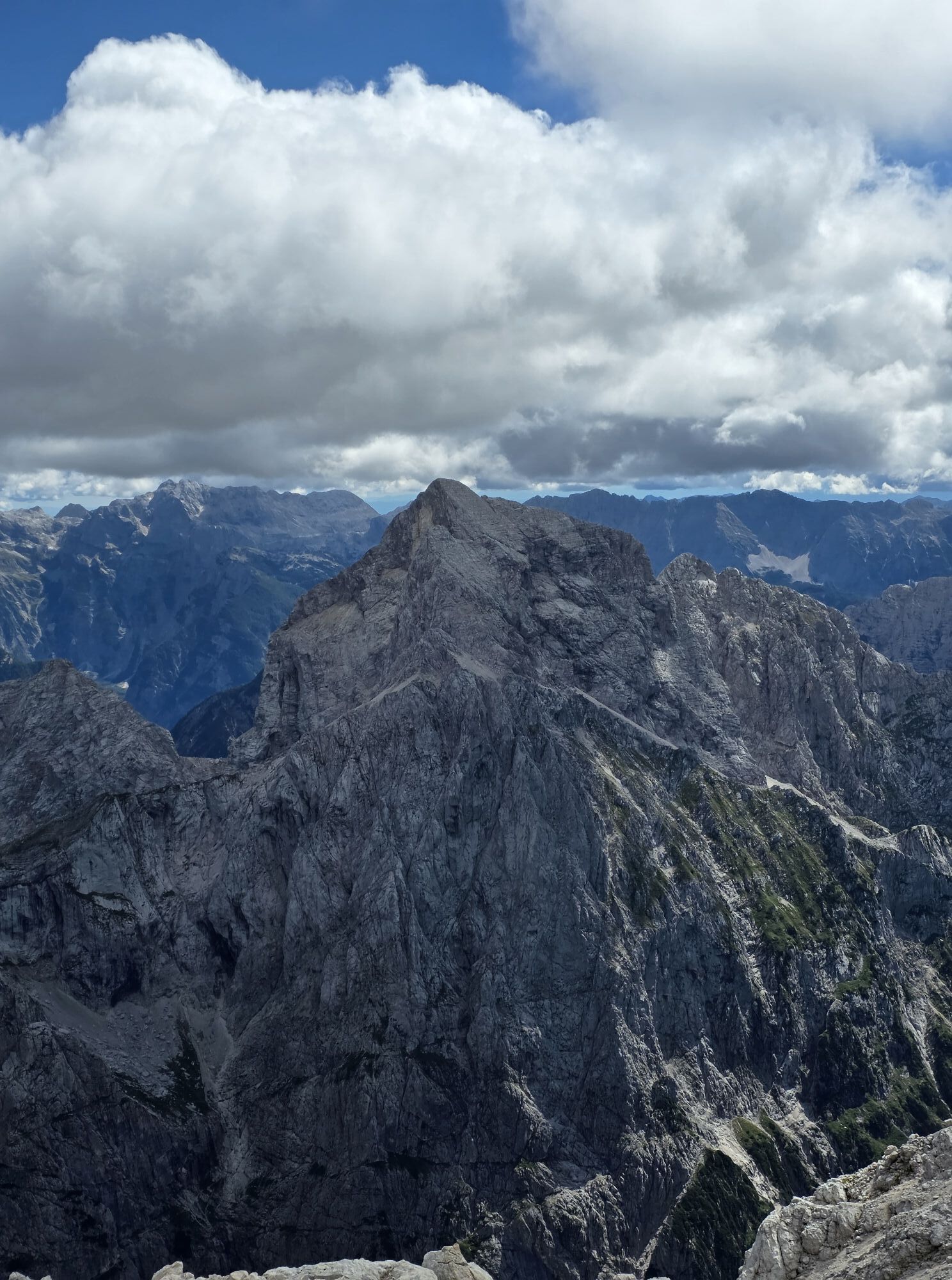
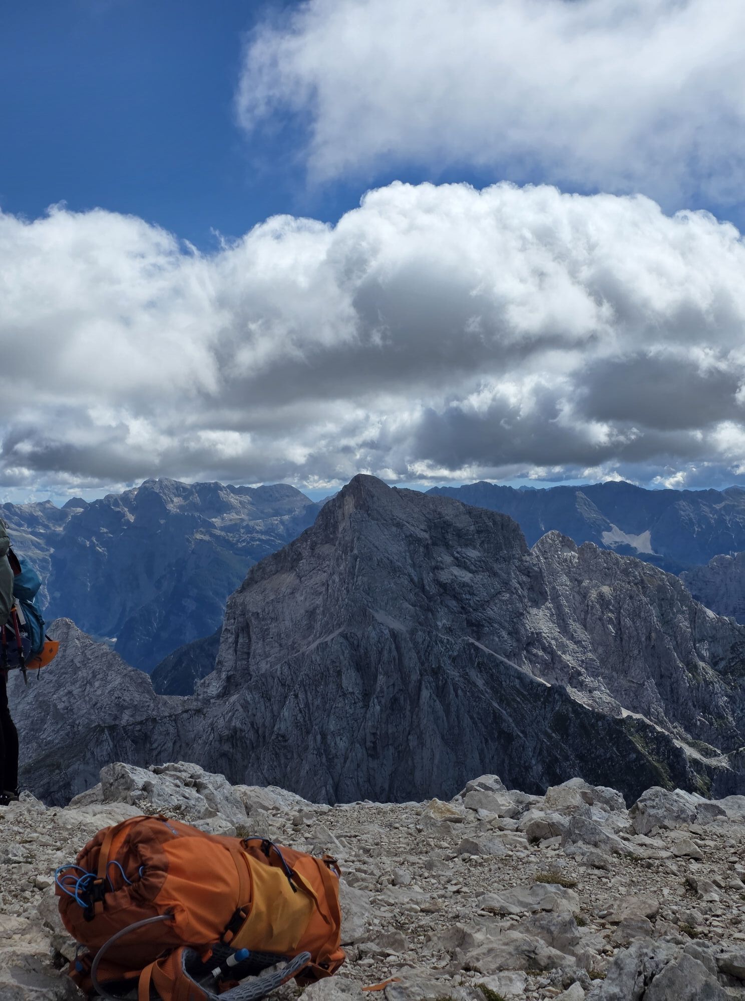
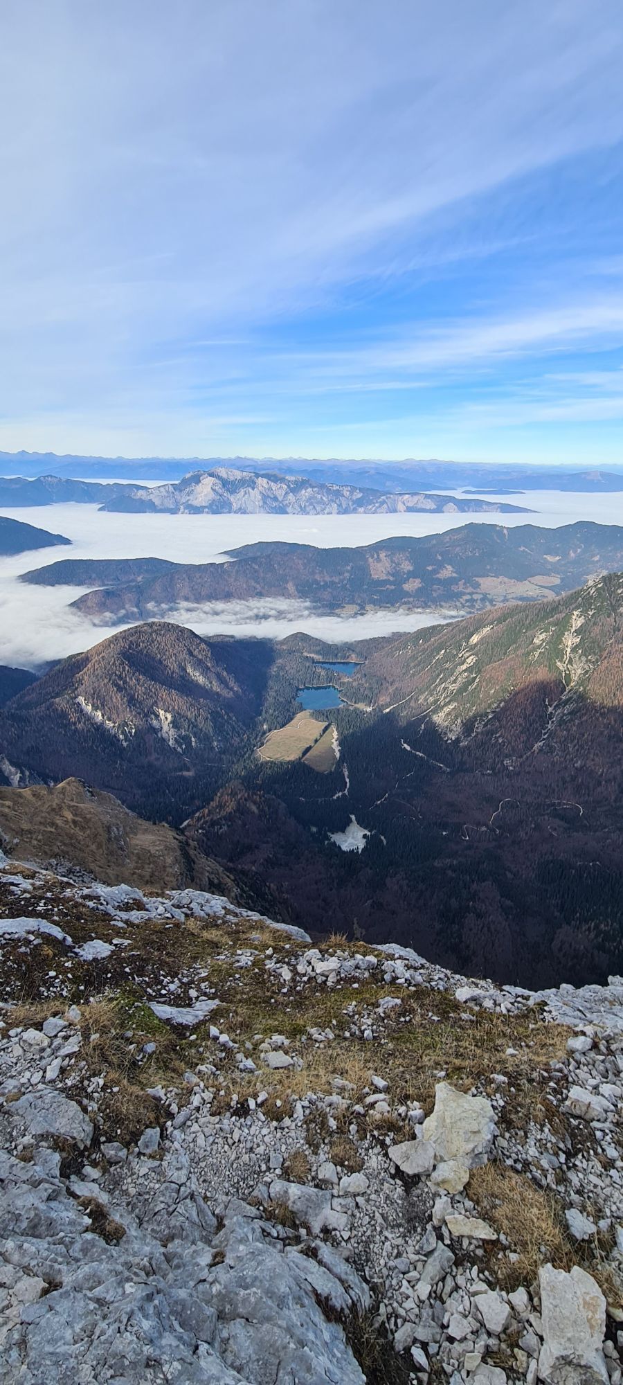
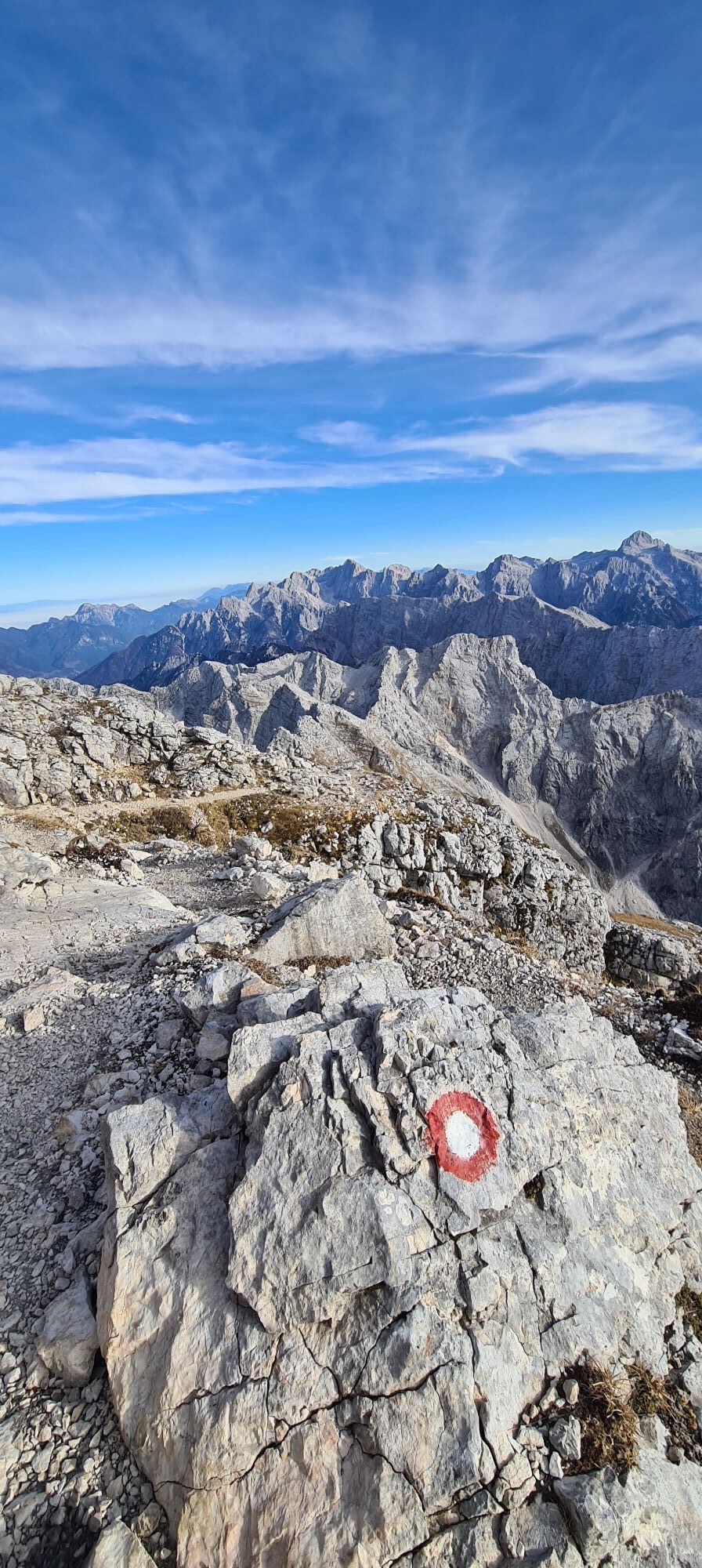
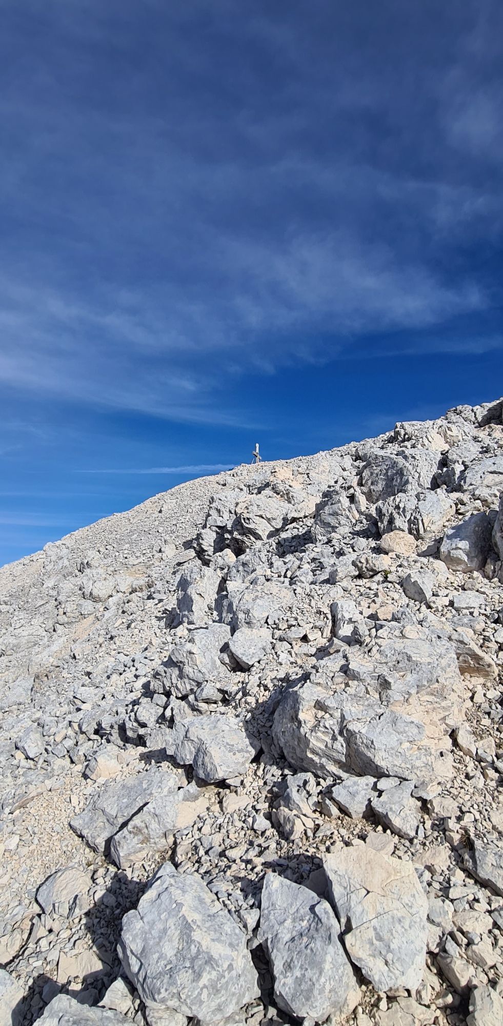
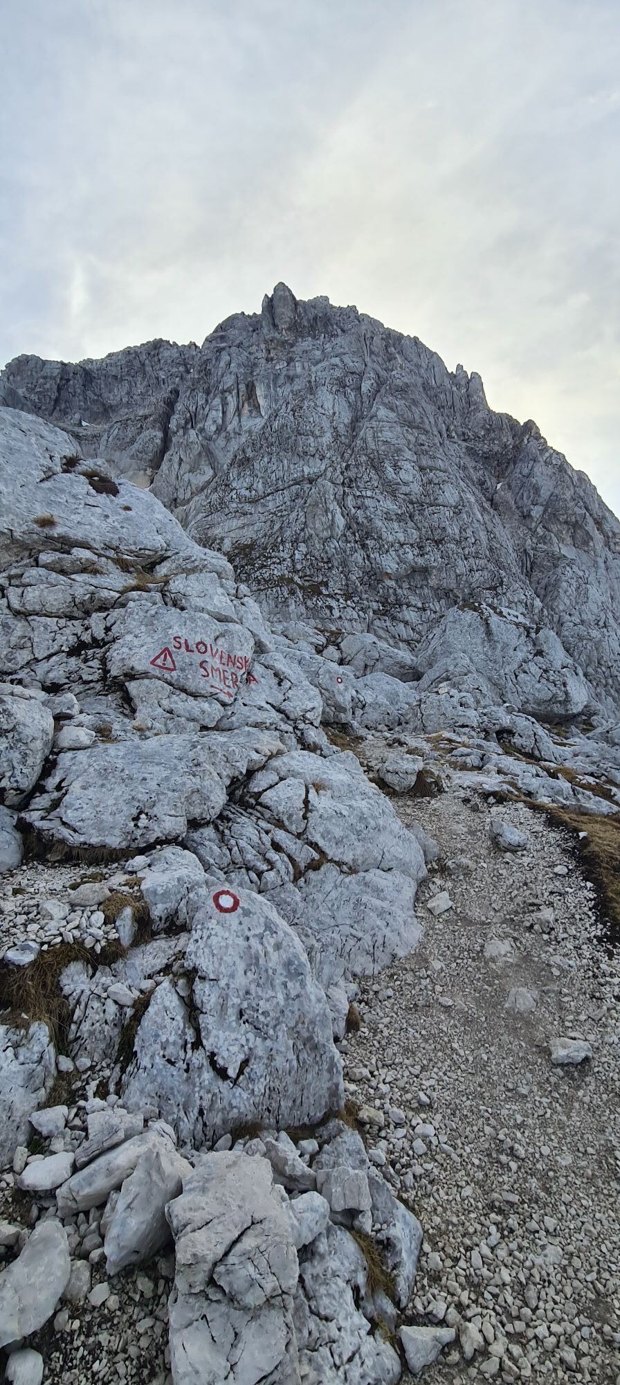
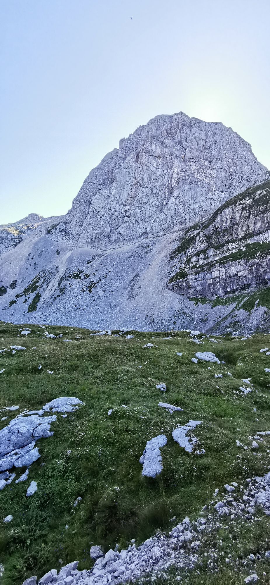
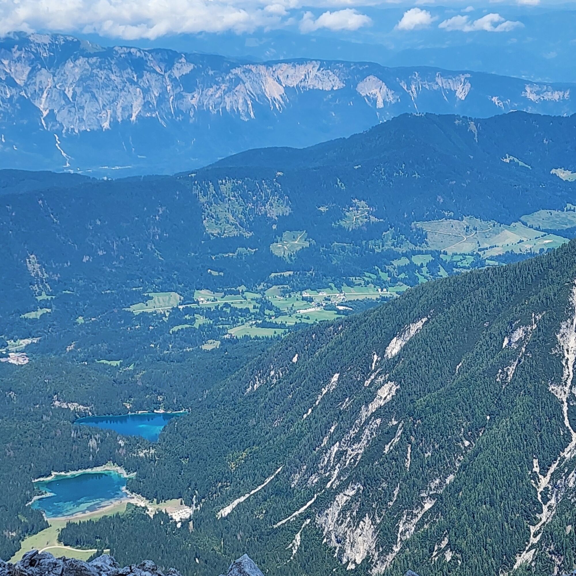
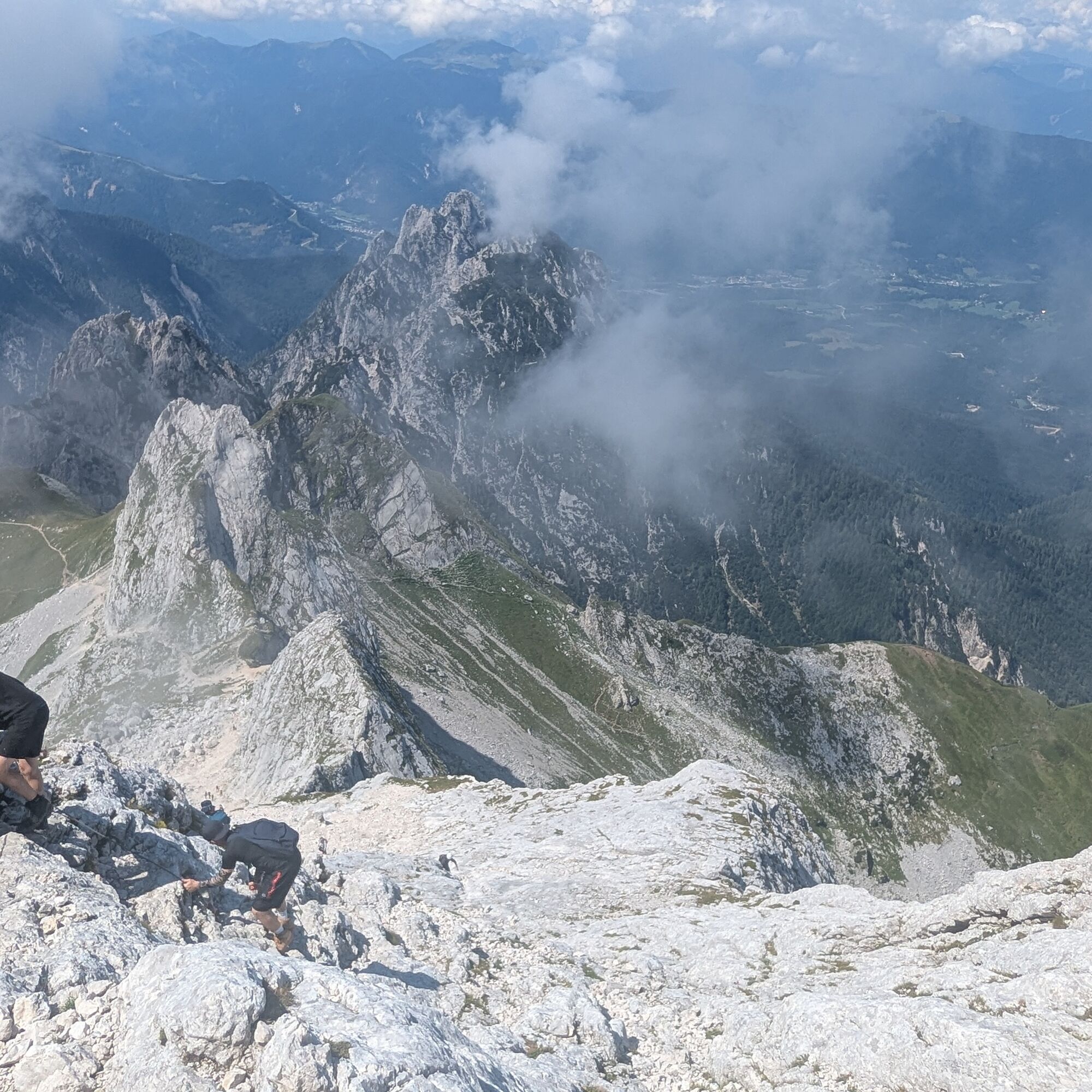
On the Slovenian side, we take the Mangart Road (toll road) and leave the car where possible. We first climb up to the Mangrtskem na sedlu hut (1906 m, closing in 2025 for renovations) and ascend along the path on the left (signs for the summit); the path crosses the paved road and takes us to the ridge line beyond which, dizzyingly far below, are the Fusine Lakes, which we can see. We follow to the right up to the Mangart notch (2263 m): here we continue straight, avoiding the Slovenian via ferrata route; it is usually very difficult to make a mistake since the normal route is well traveled. The first part of the normal route consists of climbing a steep scree slope, which brings us to the start of the equipped path. It is advisable to use the via ferrata kit even if the path is simple and lacks vertical sections; however, the helmet is recommended in any case due to the number of people on the ascent.
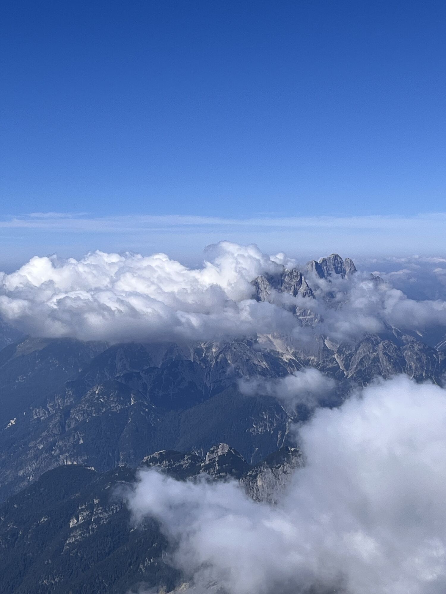
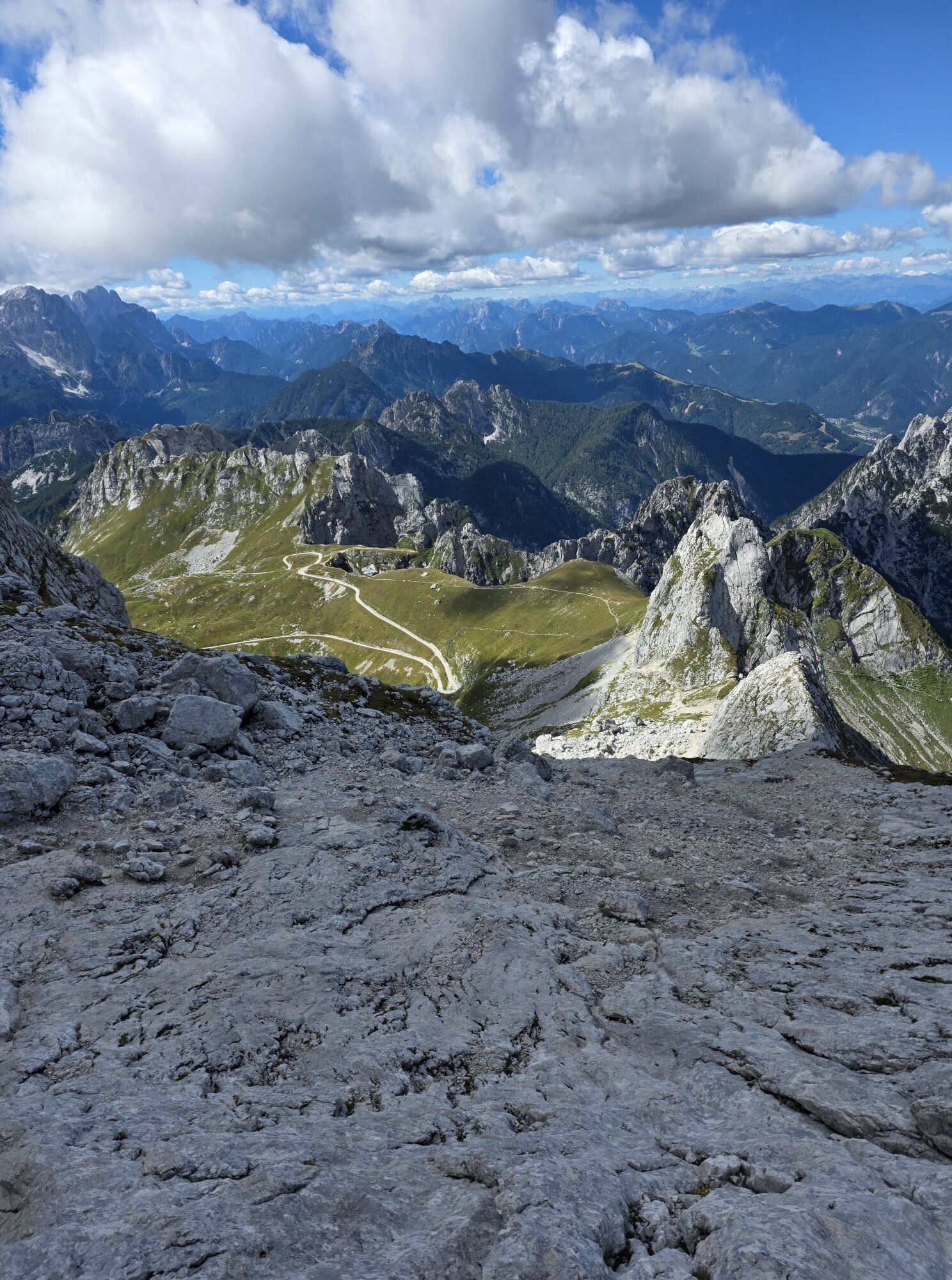
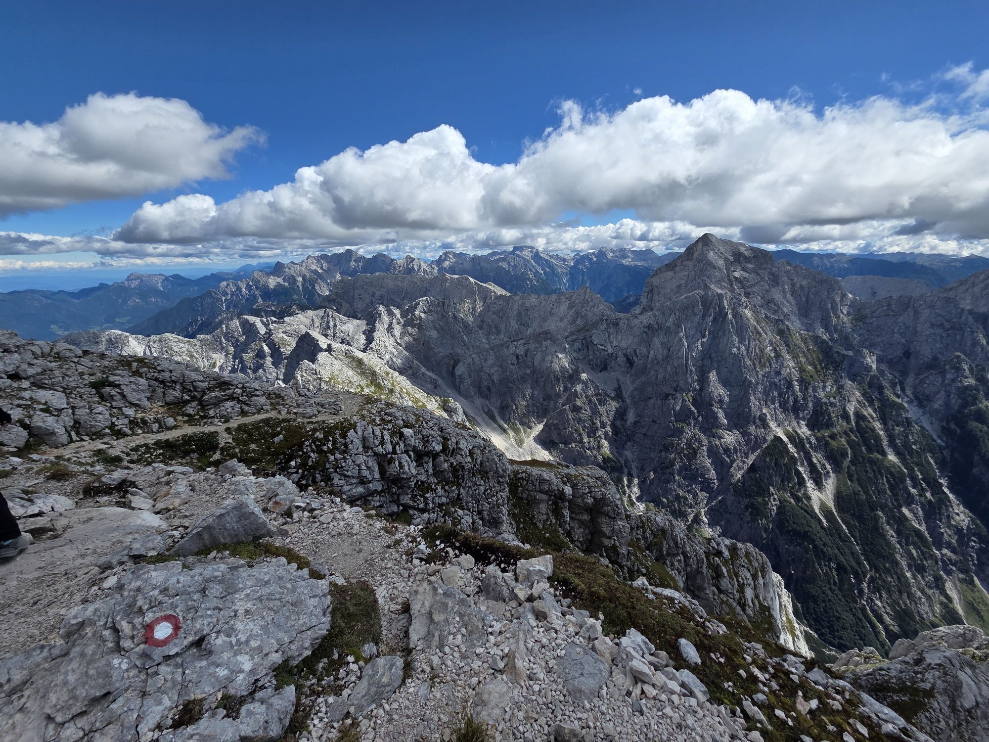
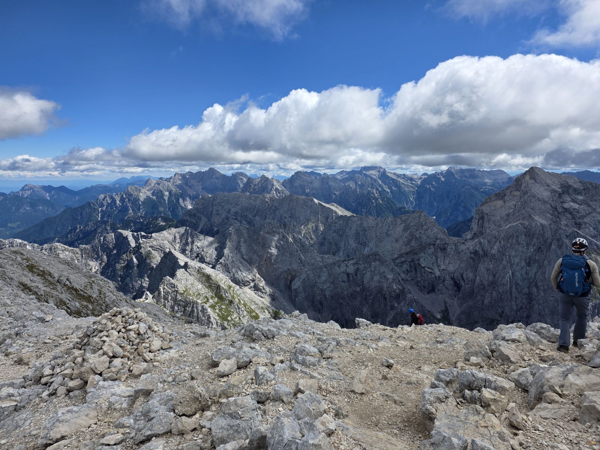
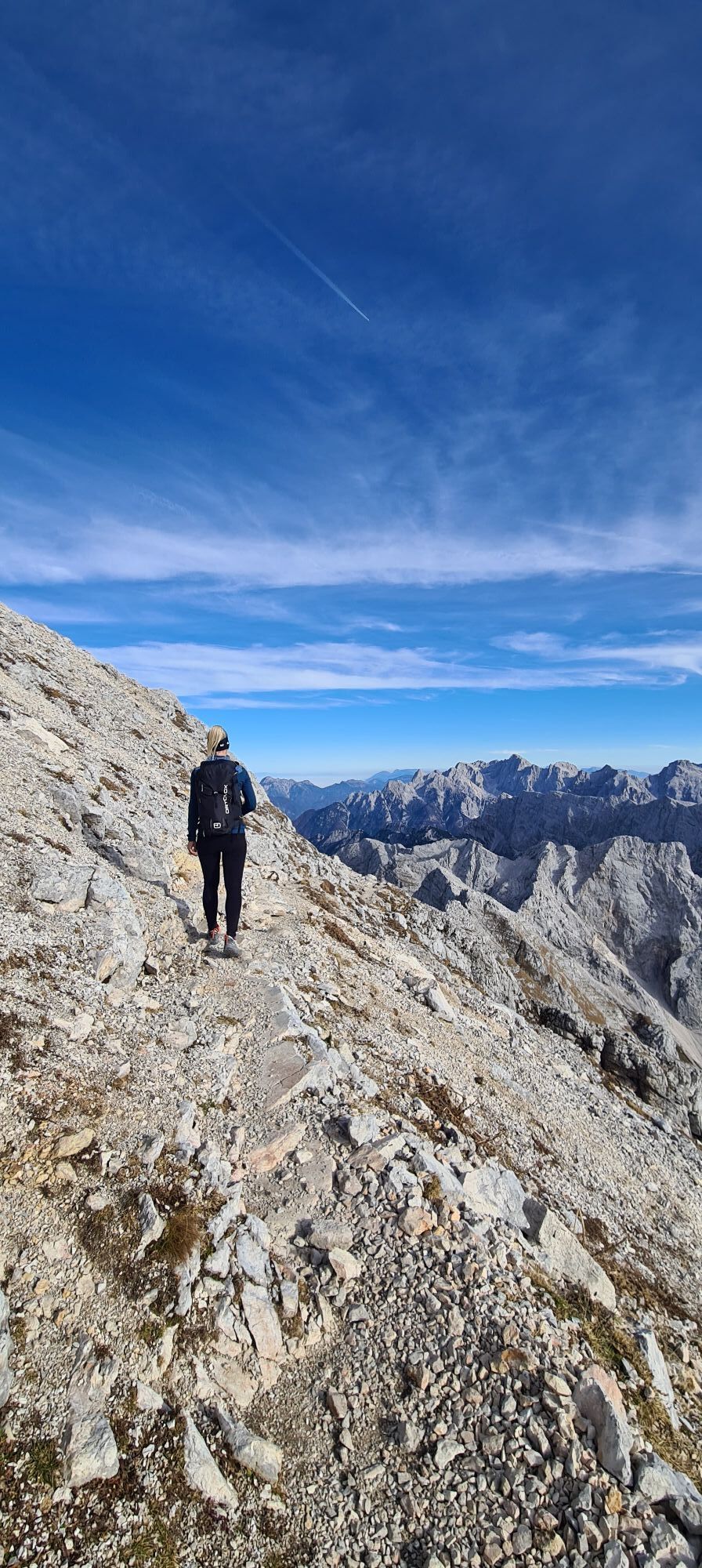
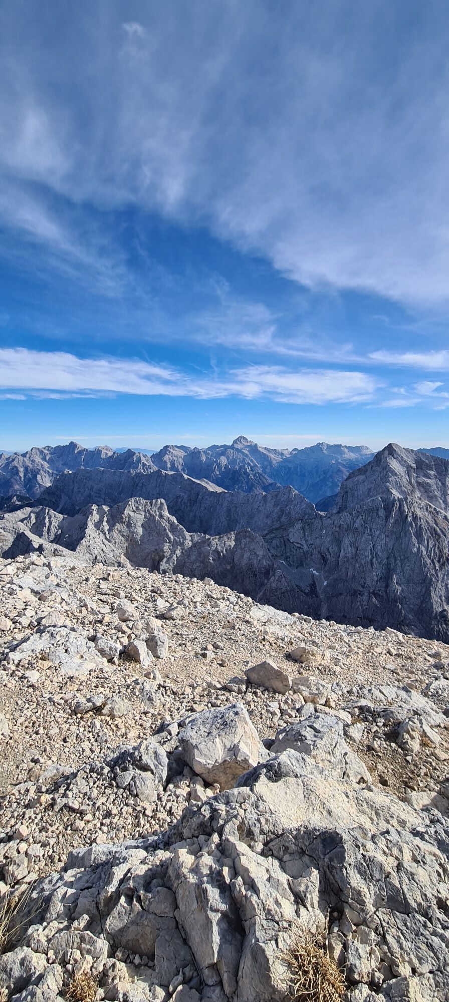
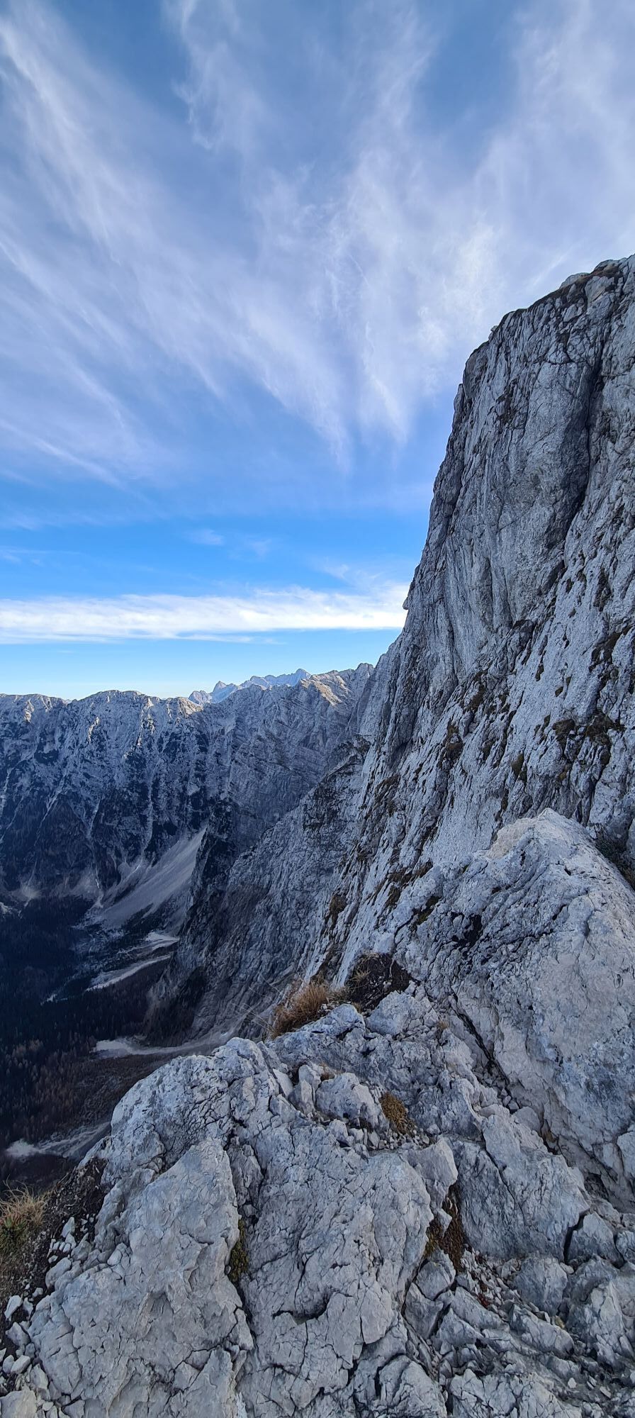
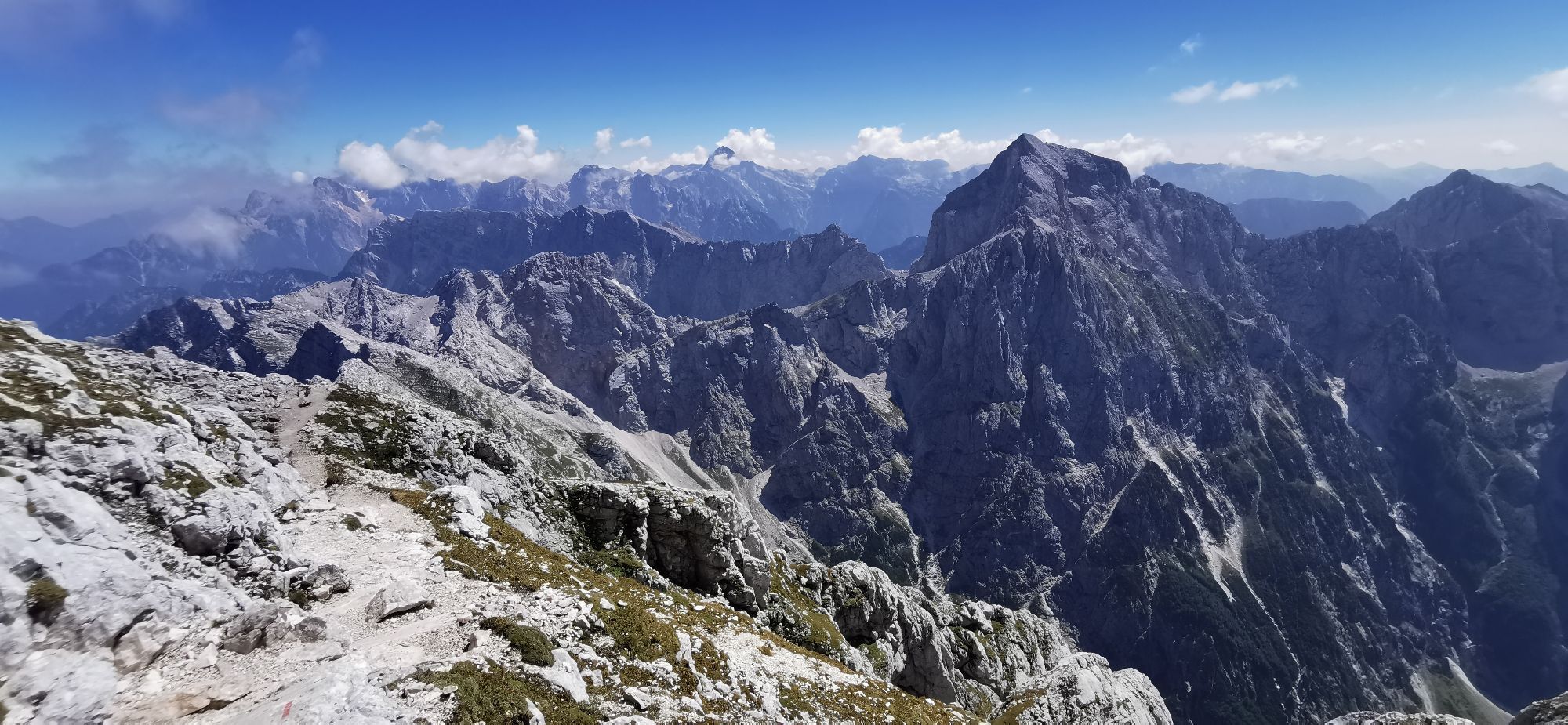
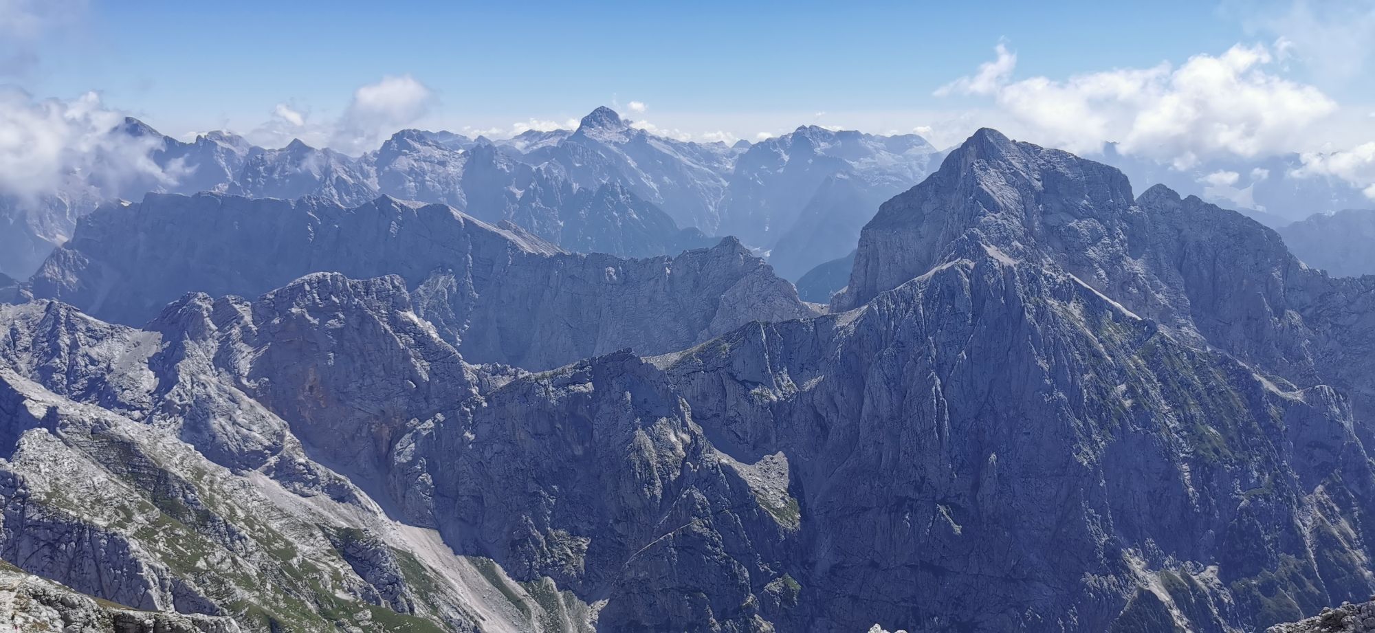
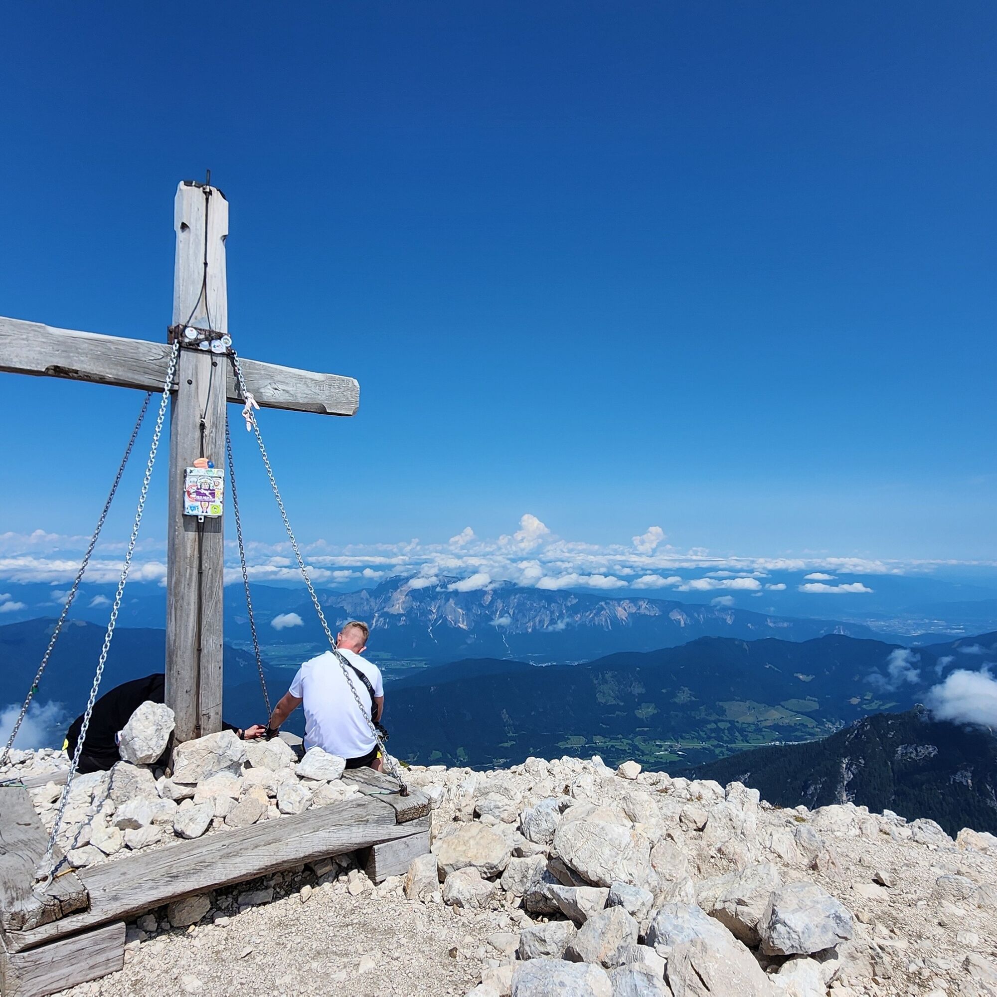
The equipped path passes over smooth slabs and several "ledges," and deposits us on a scree ledge that circles around the mountain. After this detour, we start climbing the eastern ridge of the summit on a good path, and without further difficulties we reach the wide summit (2677 m).

Áno
Áno
The via ferrata kit is especially recommended for children and less experienced; the helmet is always recommended.
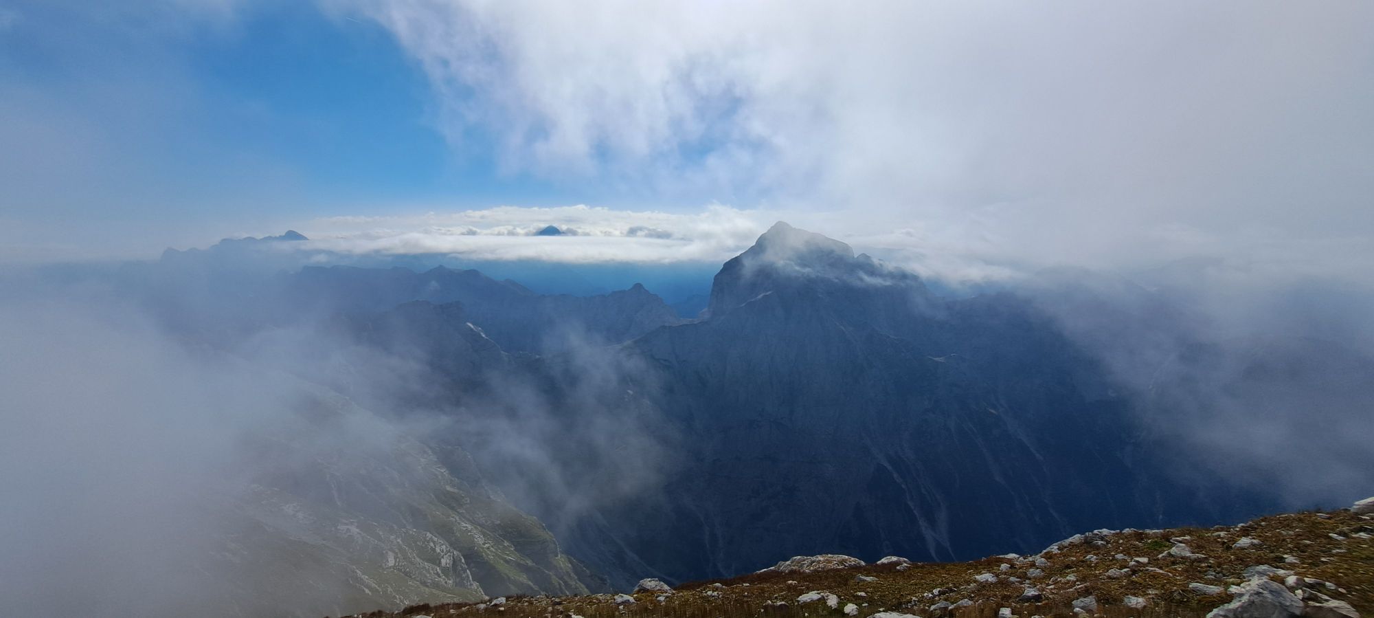
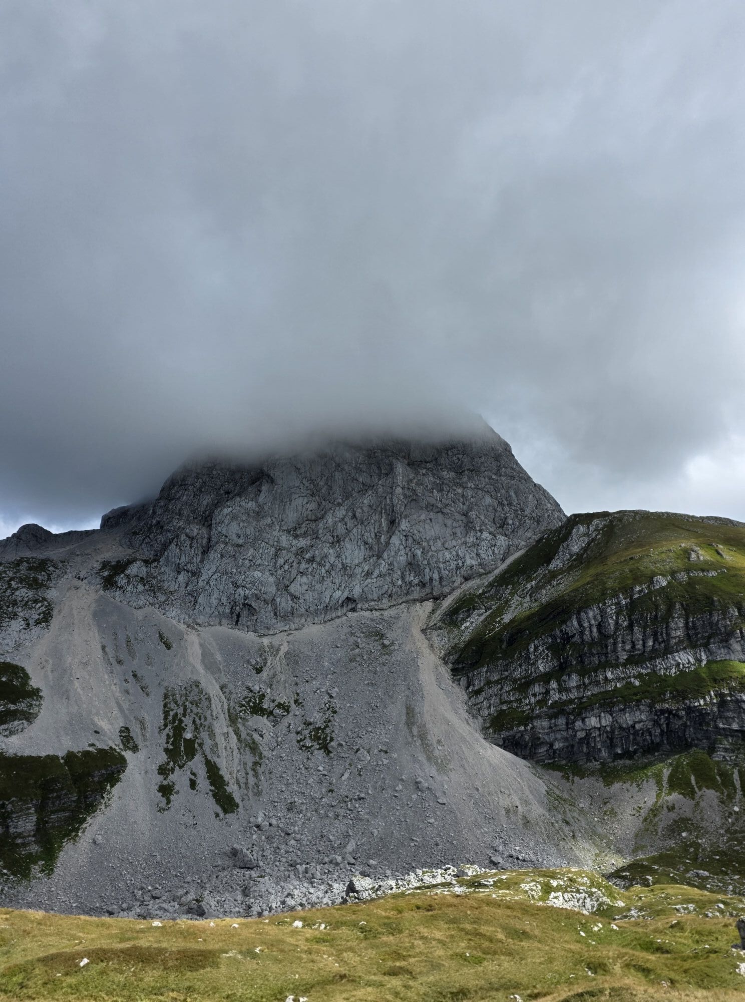
Recommended period: always, in the absence of snow and with excellent weather; avoid the days following heavy rain.
T3
If the rock is wet, much more caution is needed. The equipped path does not present real difficulties, but the crowding suggests always securing yourself to the cables.
Aktivity počas prehliadky


Obľúbené výlety v okolí
-
4,7
Jazerá Fusine
svetloTuristika 5,43 km -
4,9
Orrido dello Slizza, Tarvisio, Italië
svetloTuristika 2,65 km -
4,5
Monte Lussari
strednáSkitour 10,7 km -
4,4
Krnica Hut
strednáTuristika 14,9 km -
4,4
Monte Lussari über den alten Pilgerweg
strednáTuristika 6,43 km -
4,3
Zacchi Wanderung Rundweg
svetloTuristika 8,85 km -
4,7
Weißenfelser Seen: Fusine in Valromana - Ai Sette Nani - Seealm
strednáTuristika 10,3 km -
4,2
Monte Santo di Lussari, Skitour, Pilgerweg
strednáSkitour 9,35 km -
4,3
Grande Ponza
Via ferrata 9 km -
4,5
Cacciatore
svetloSkitour 10,8 km
Turistika a stopovanie


Nenechajte si ujsť ponuky a inšpiráciu na ďalšiu dovolenku
Vaša e-mailová adresa bol pridaný do poštového zoznamu.