


VeloRoute SaarLorLux
Fotografie našich používateľov
-
 © Rudolf BucherVytvorené dňa 14.09.2025
 -
 © SvetieVytvorené dňa 08.05.2025
 -

 © Günter KleutschVytvorené dňa 01.02.2025
 -
 © Günter KleutschVytvorené dňa 01.02.2025
 -
 © Jaap BrusewitzVytvorené dňa 12.06.2024
 -
 © Günter KleutschVytvorené dňa 11.04.2026
 -
 © Günter KleutschVytvorené dňa 11.04.2026
 -
 © Günter KleutschVytvorené dňa 11.04.2026
 -
 © Günter KleutschVytvorené dňa 11.04.2026
 -
 © Günter KleutschVytvorené dňa 11.04.2026
 -
 © PoschacherVytvorené dňa 24.02.2026
 -
 © PoschacherVytvorené dňa 24.02.2026
 -
 © PoschacherVytvorené dňa 24.02.2026
 -
 © PoschacherVytvorené dňa 24.02.2026
 -
 © PoschacherVytvorené dňa 24.02.2026
 -
 © PoschacherVytvorené dňa 24.02.2026
 -
 © PoschacherVytvorené dňa 24.02.2026
 -
 © PoschacherVytvorené dňa 24.02.2026
 -
 © PoschacherVytvorené dňa 24.02.2026
 -
 © PoschacherVytvorené dňa 24.02.2026
 -
 © PoschacherVytvorené dňa 24.02.2026
 -
 © PoschacherVytvorené dňa 24.02.2026
 -
 © Günter KleutschVytvorené dňa 26.12.2025
 -
 © Günter KleutschVytvorené dňa 26.12.2025
 -
 © Günter KleutschVytvorené dňa 26.12.2025
 -
 © Günter KleutschVytvorené dňa 26.12.2025
 -

 © Klaus-Peter HolzVytvorené dňa 27.10.2025
 -
 © Günter KleutschVytvorené dňa 14.10.2025
 -
 © Günter KleutschVytvorené dňa 14.10.2025
 -
 © Günter KleutschVytvorené dňa 19.09.2025
 -
 © Günter KleutschVytvorené dňa 19.09.2025
 -
 © Günter KleutschVytvorené dňa 19.09.2025
 -
 © Günter KleutschVytvorené dňa 19.09.2025
 -
 © Günter KleutschVytvorené dňa 19.09.2025
 -
 © Günter KleutschVytvorené dňa 19.09.2025
 -

 © Patrick EwertVytvorené dňa 18.09.2025
 -
 © Patrick EwertVytvorené dňa 18.09.2025
 -
 © Patrick EwertVytvorené dňa 18.09.2025
 -
 © Günter KleutschVytvorené dňa 14.09.2025
 -
 © Günter KleutschVytvorené dňa 14.09.2025
 -
 © Günter KleutschVytvorené dňa 14.09.2025
 -
 © Günter KleutschVytvorené dňa 14.09.2025
 -
 © Günter KleutschVytvorené dňa 14.09.2025
 -
 © Günter KleutschVytvorené dňa 14.09.2025
 -
 © Günter KleutschVytvorené dňa 14.09.2025
 -
 © Günter KleutschVytvorené dňa 14.09.2025
 -
 © Günter KleutschVytvorené dňa 14.09.2025
 -
 © Günter KleutschVytvorené dňa 14.09.2025
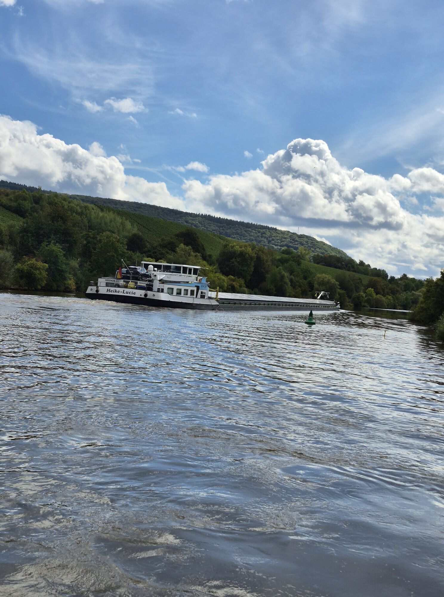
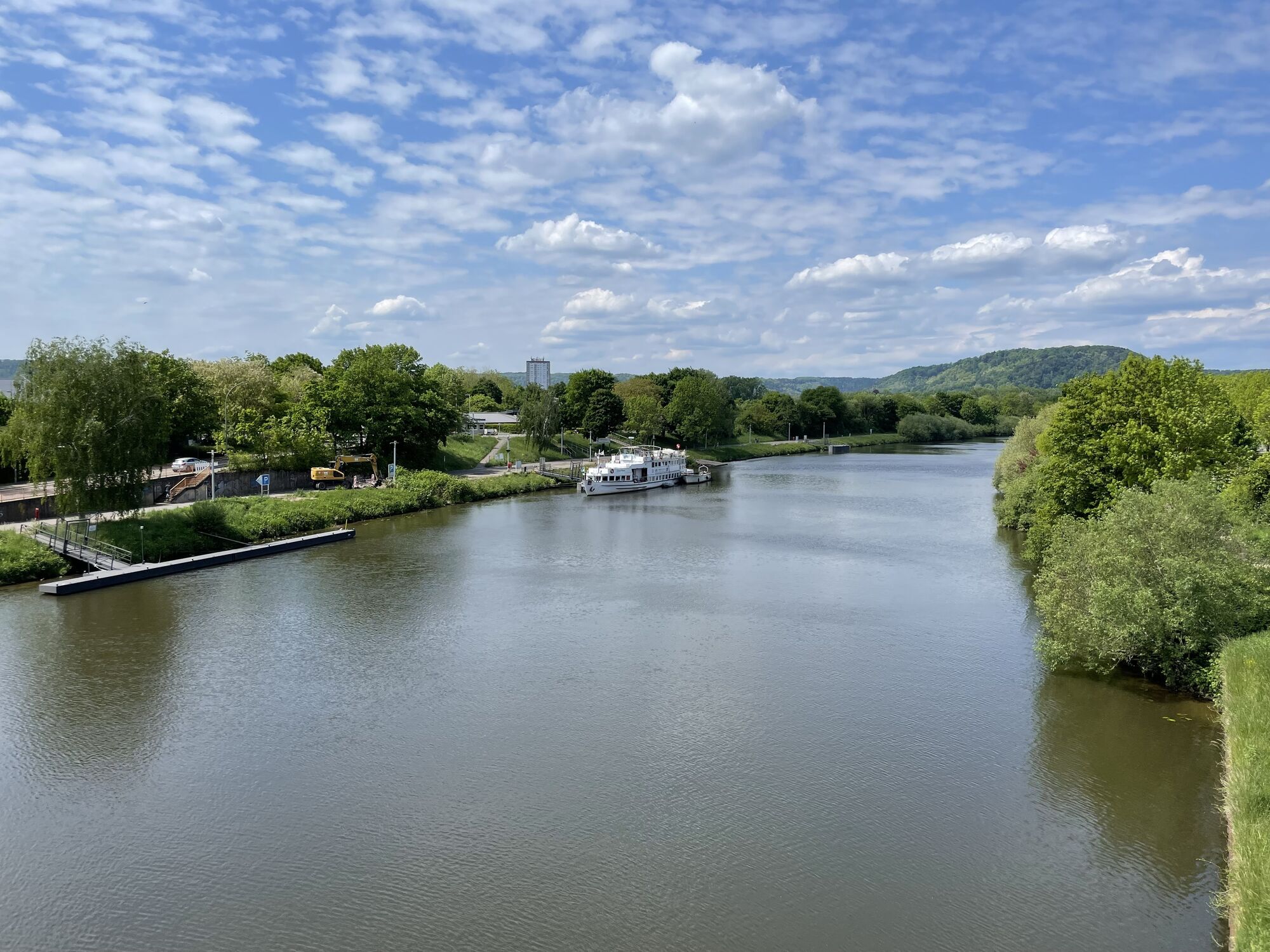


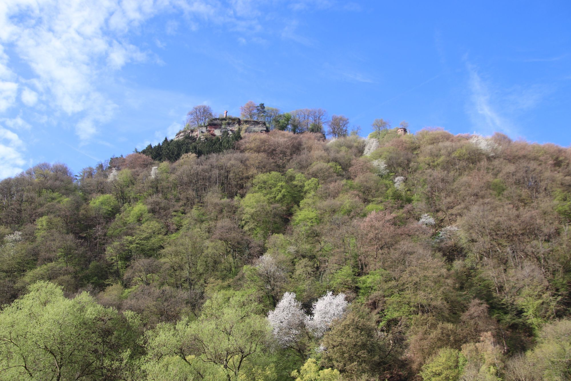
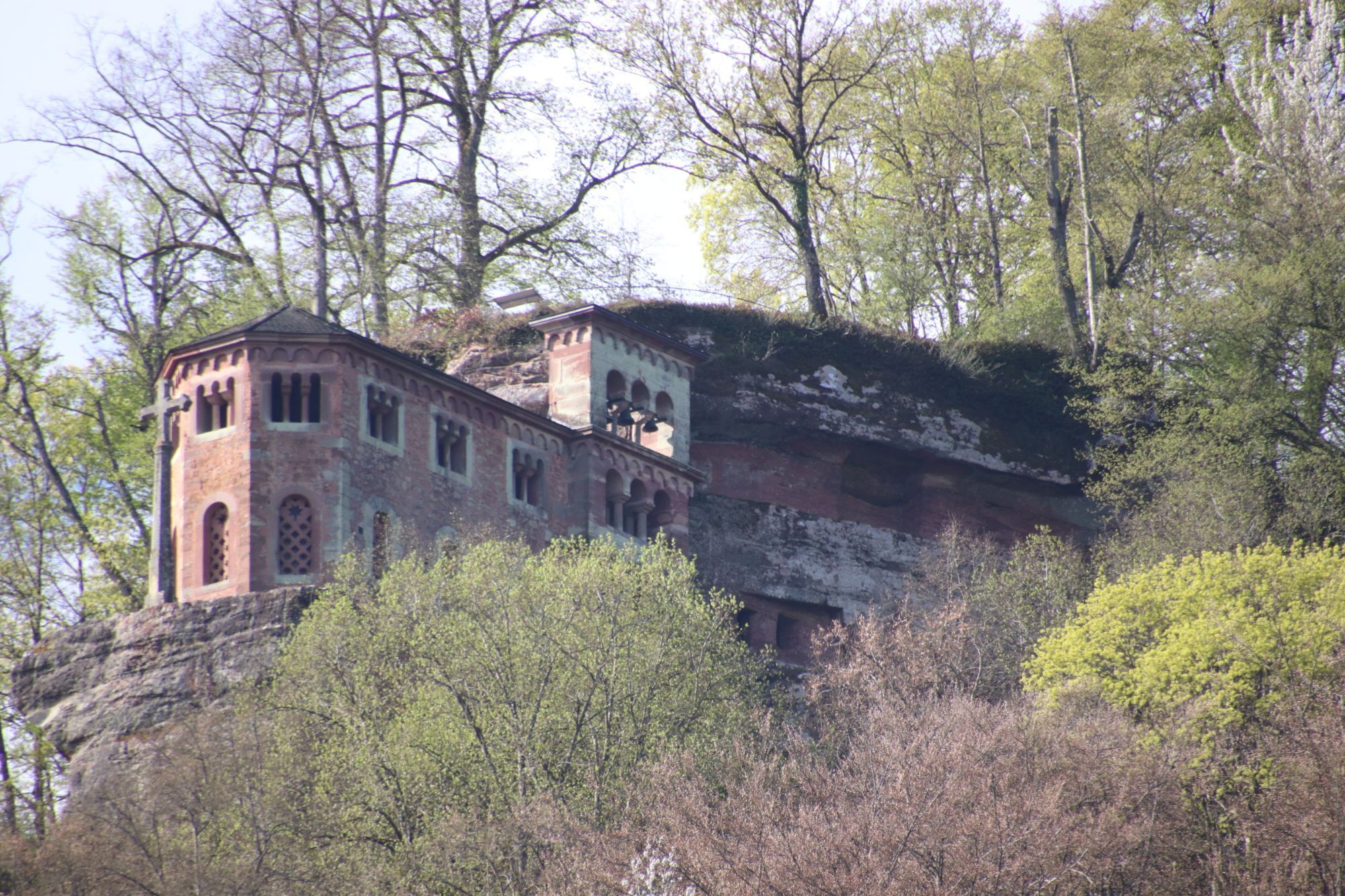

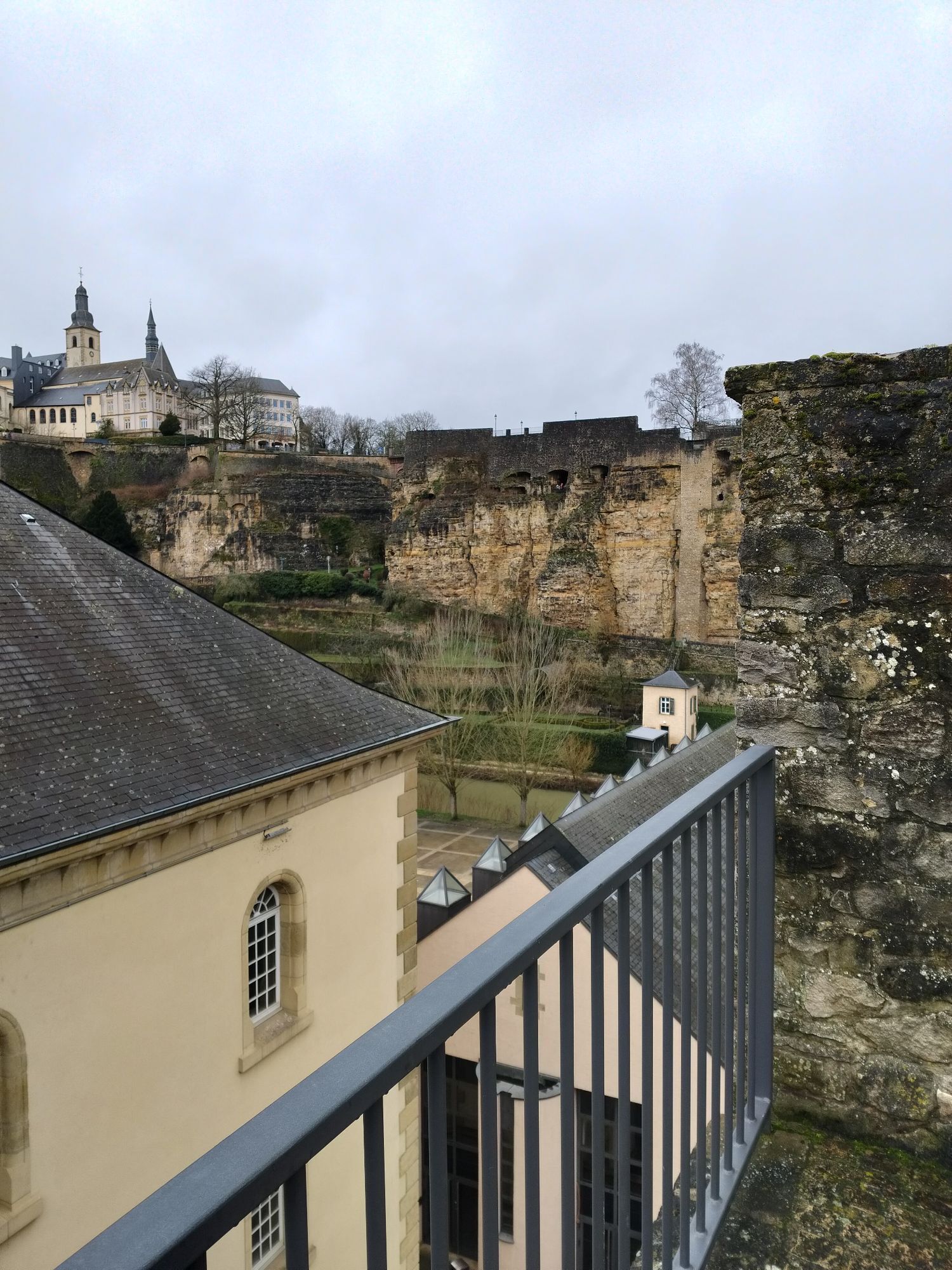
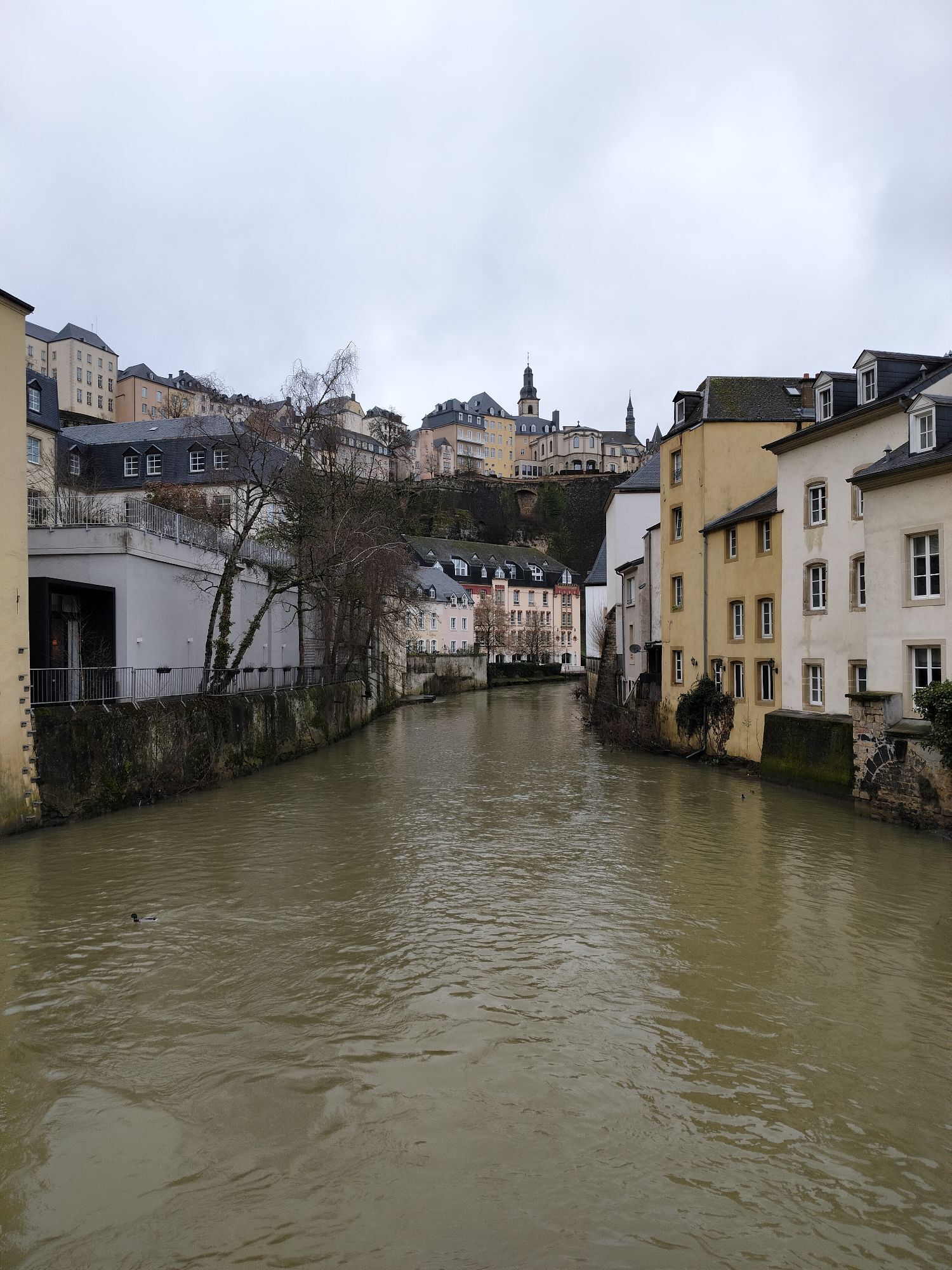


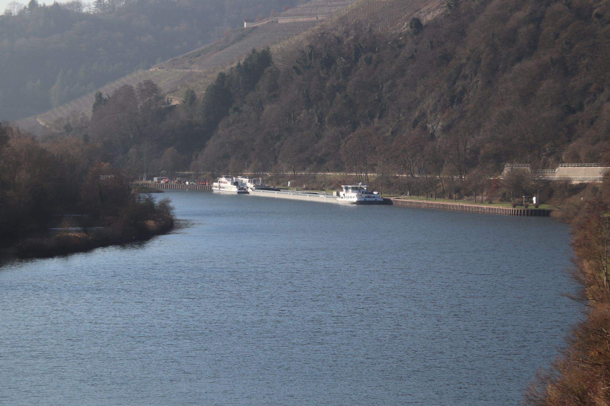
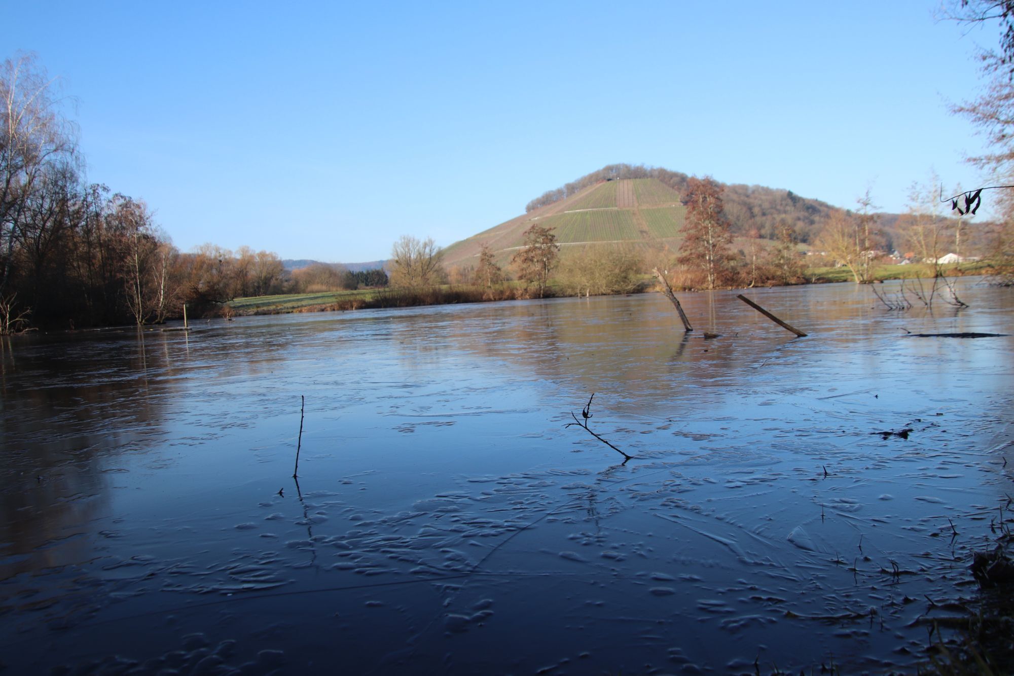

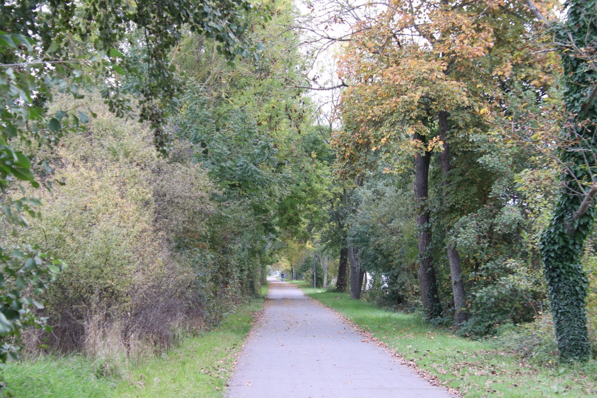


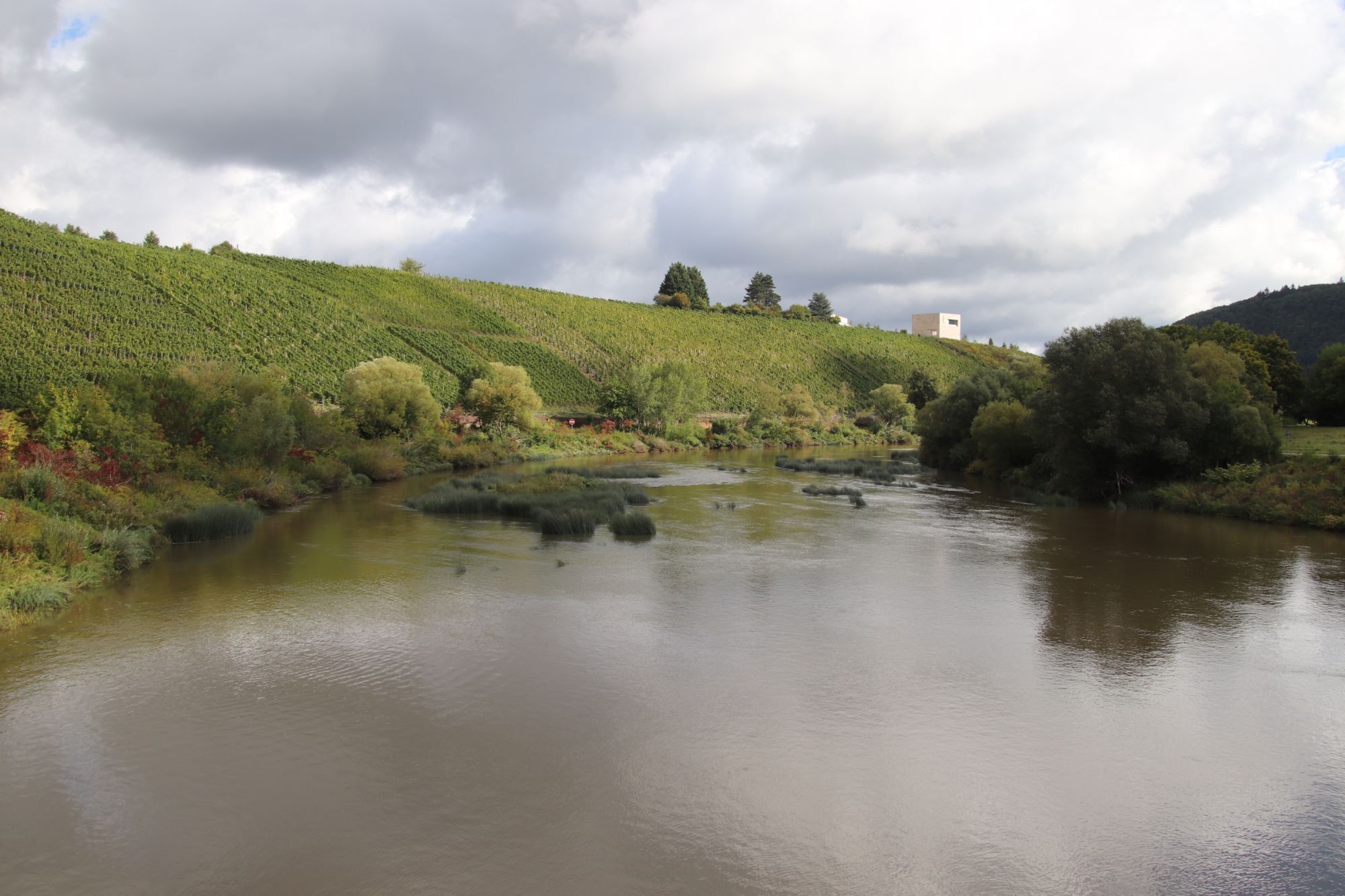

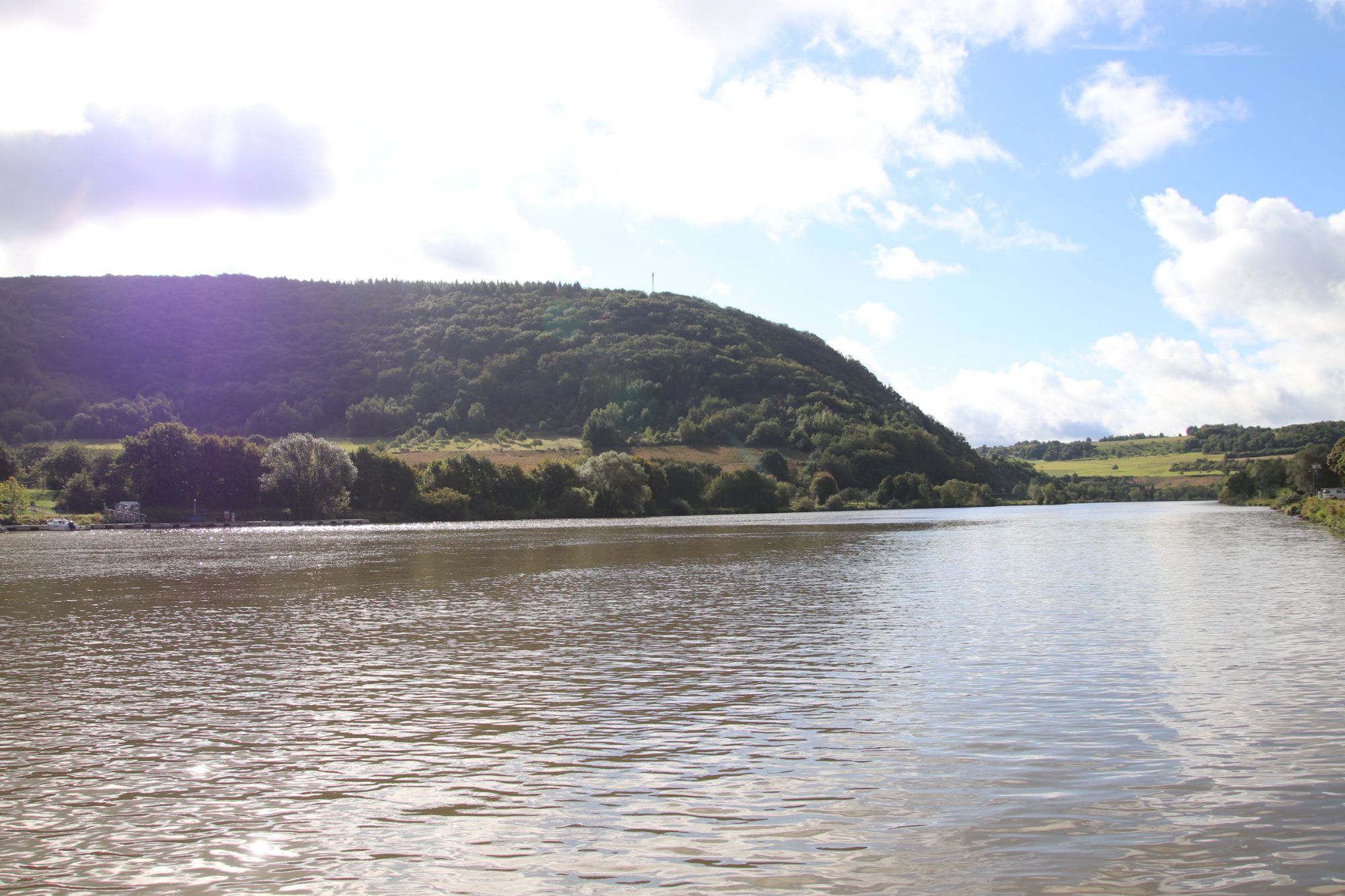

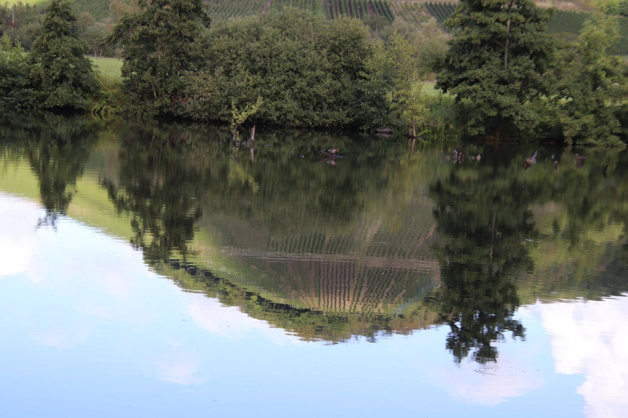
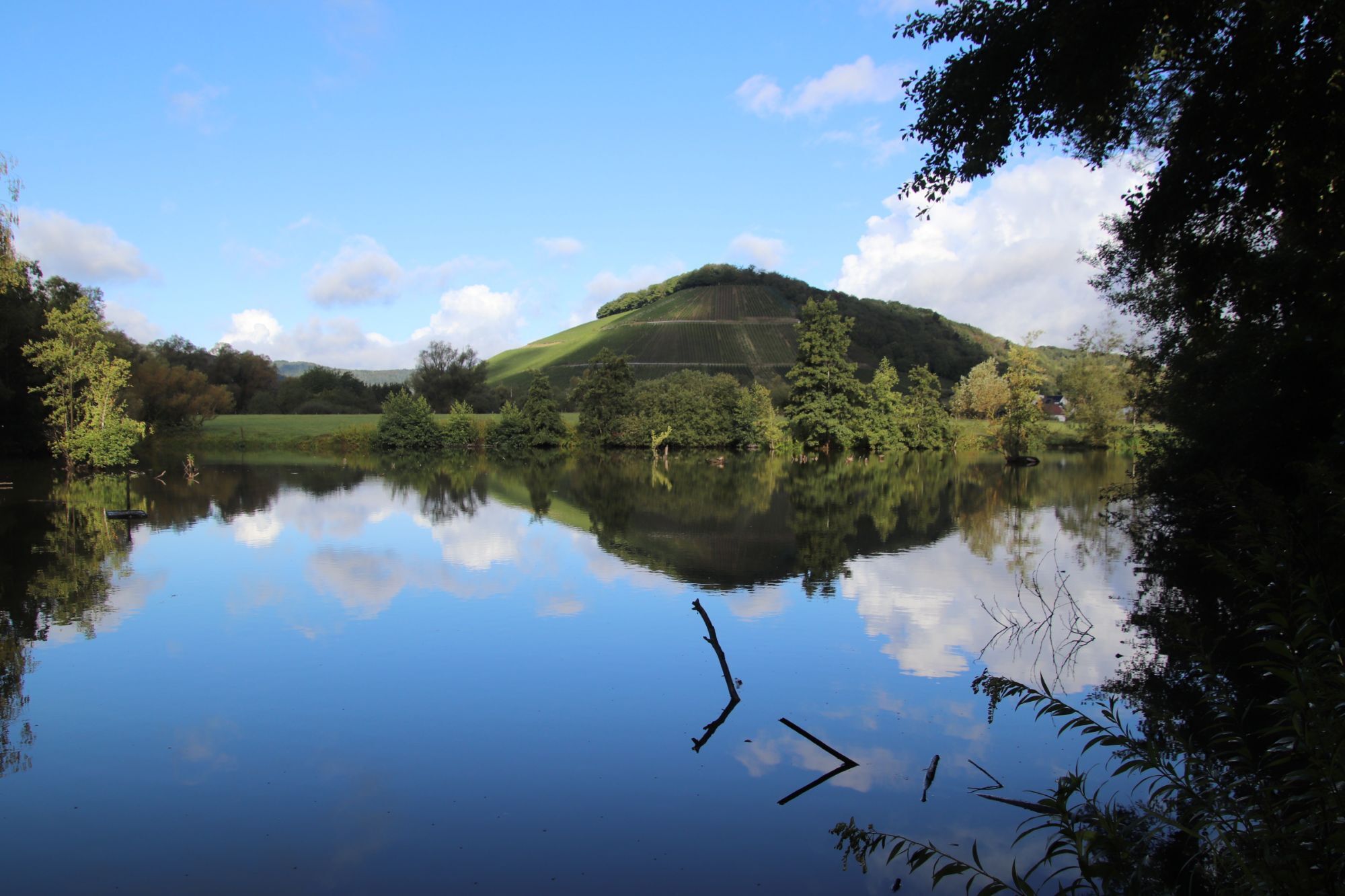


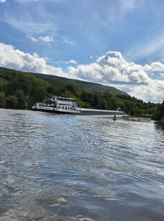
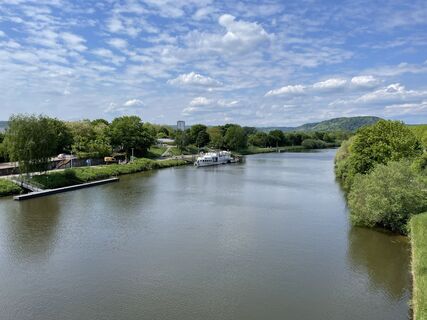
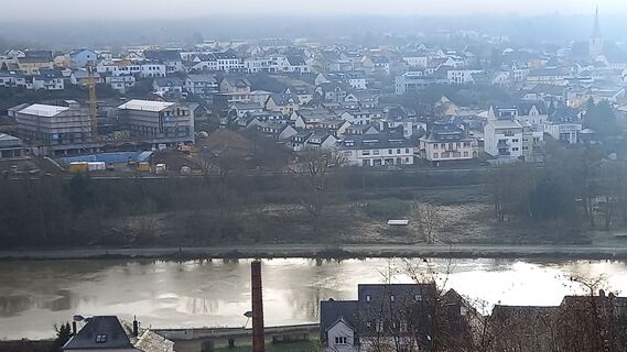
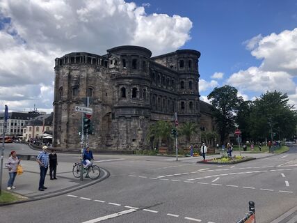
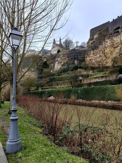
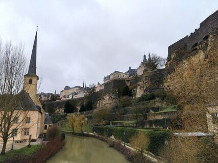
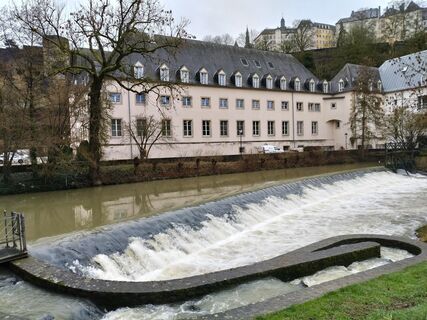
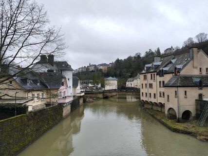
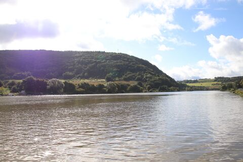
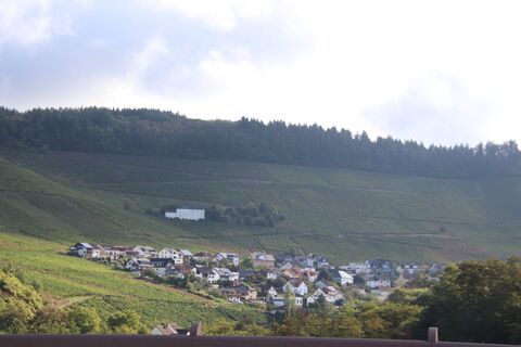
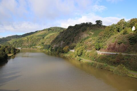
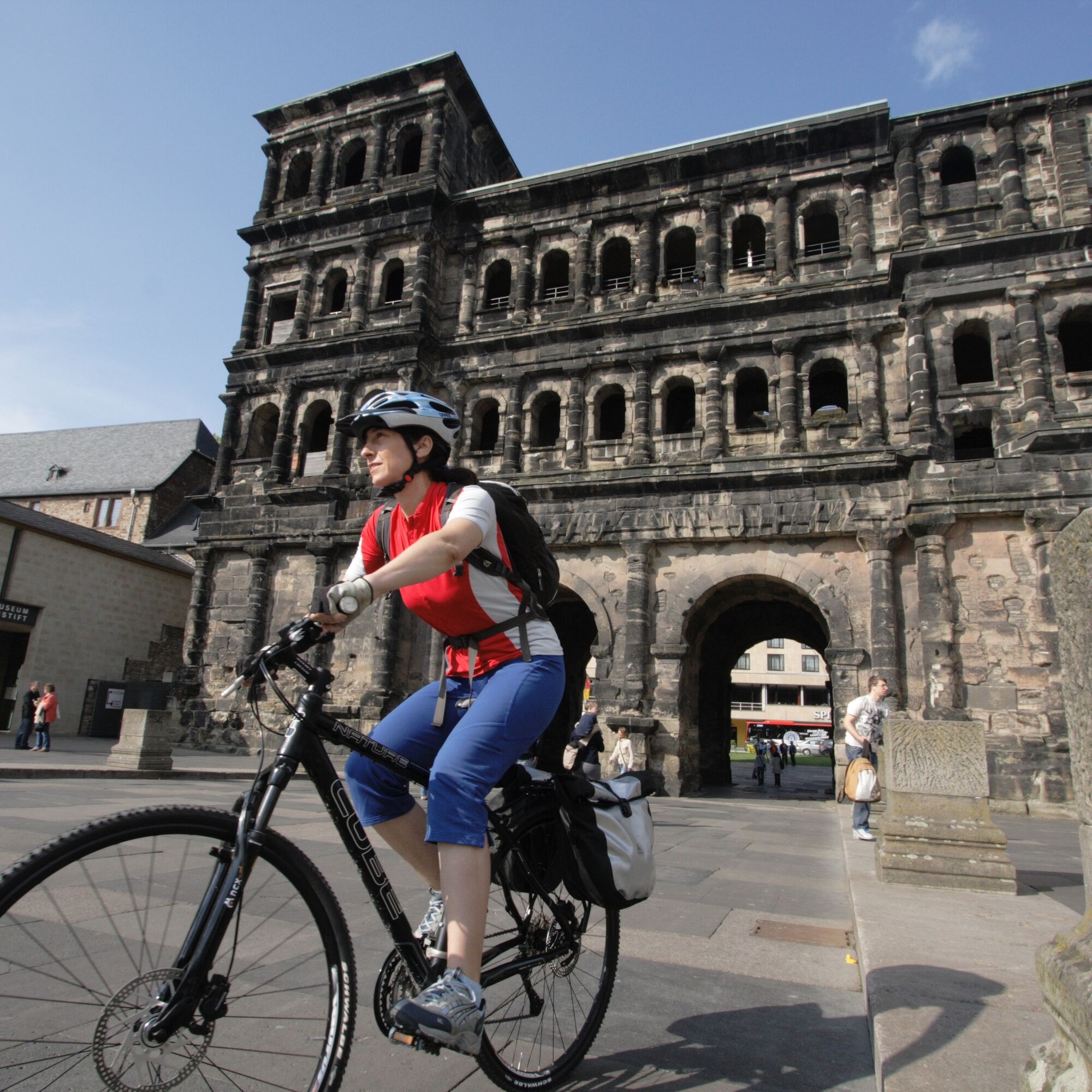
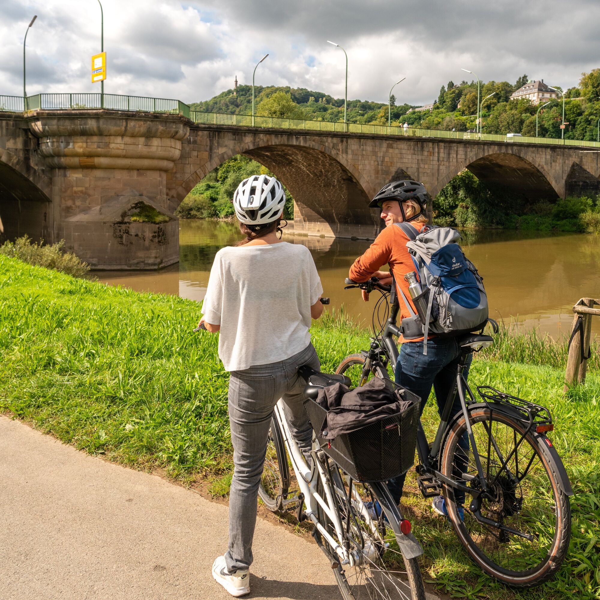
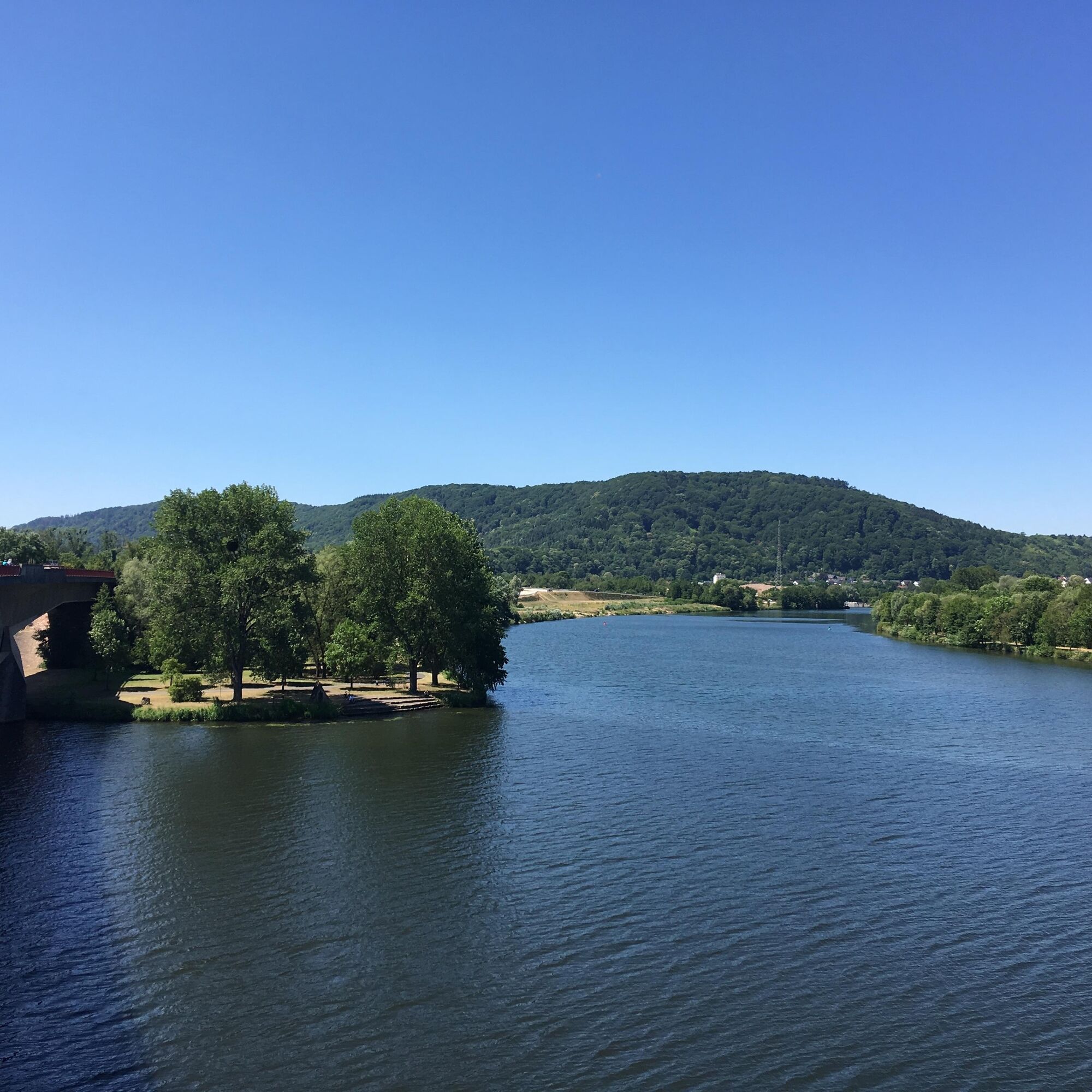
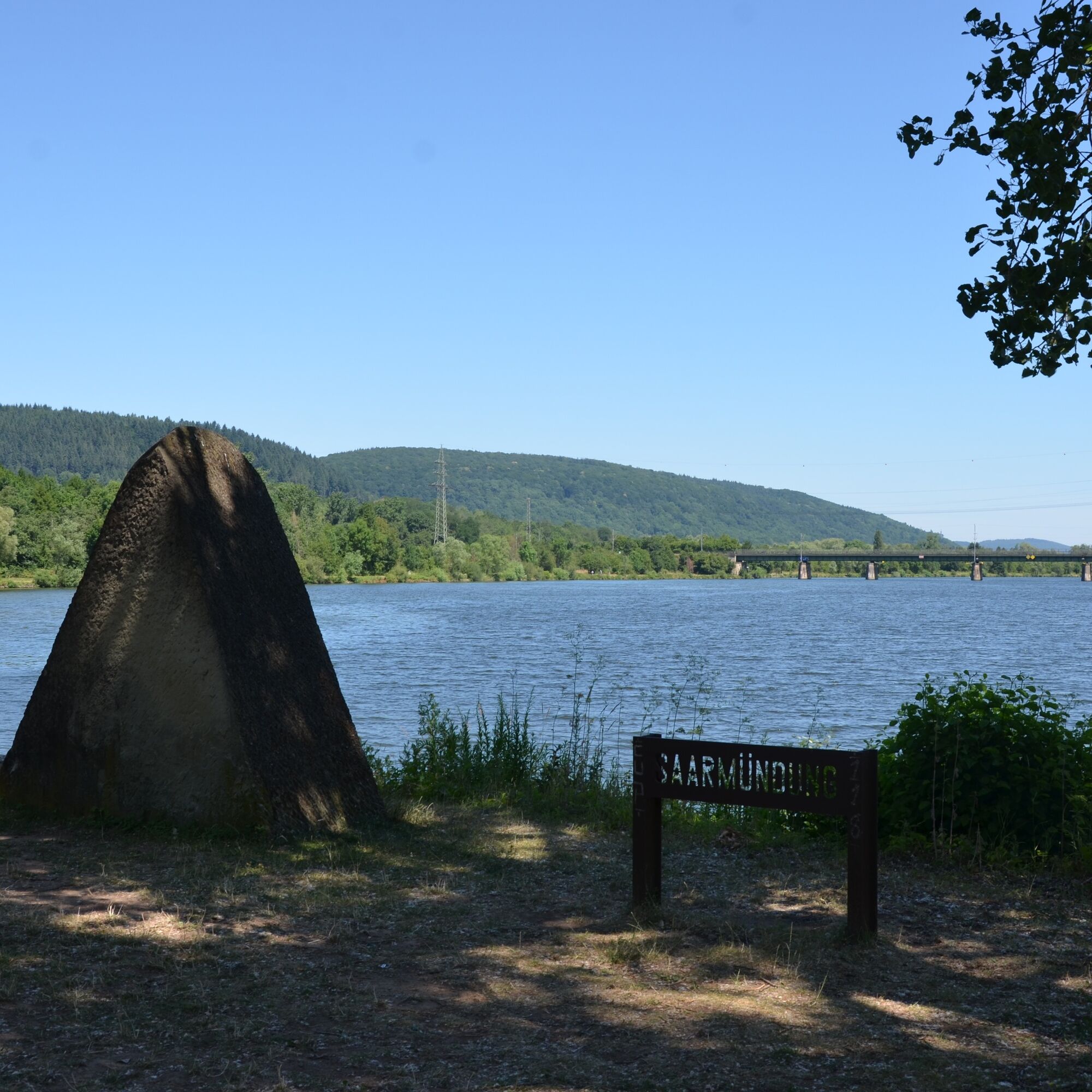
The VeloRoute SaarLorLux connects the cities of Saarbrücken, Trier, and Luxembourg in a large circular route. It uses the valleys of the Saar, Mosel, and Sauer, but also repeatedly crosses over the heights...
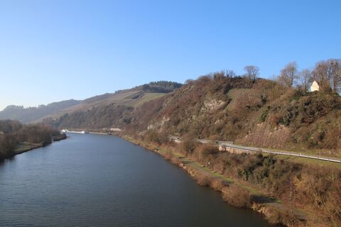
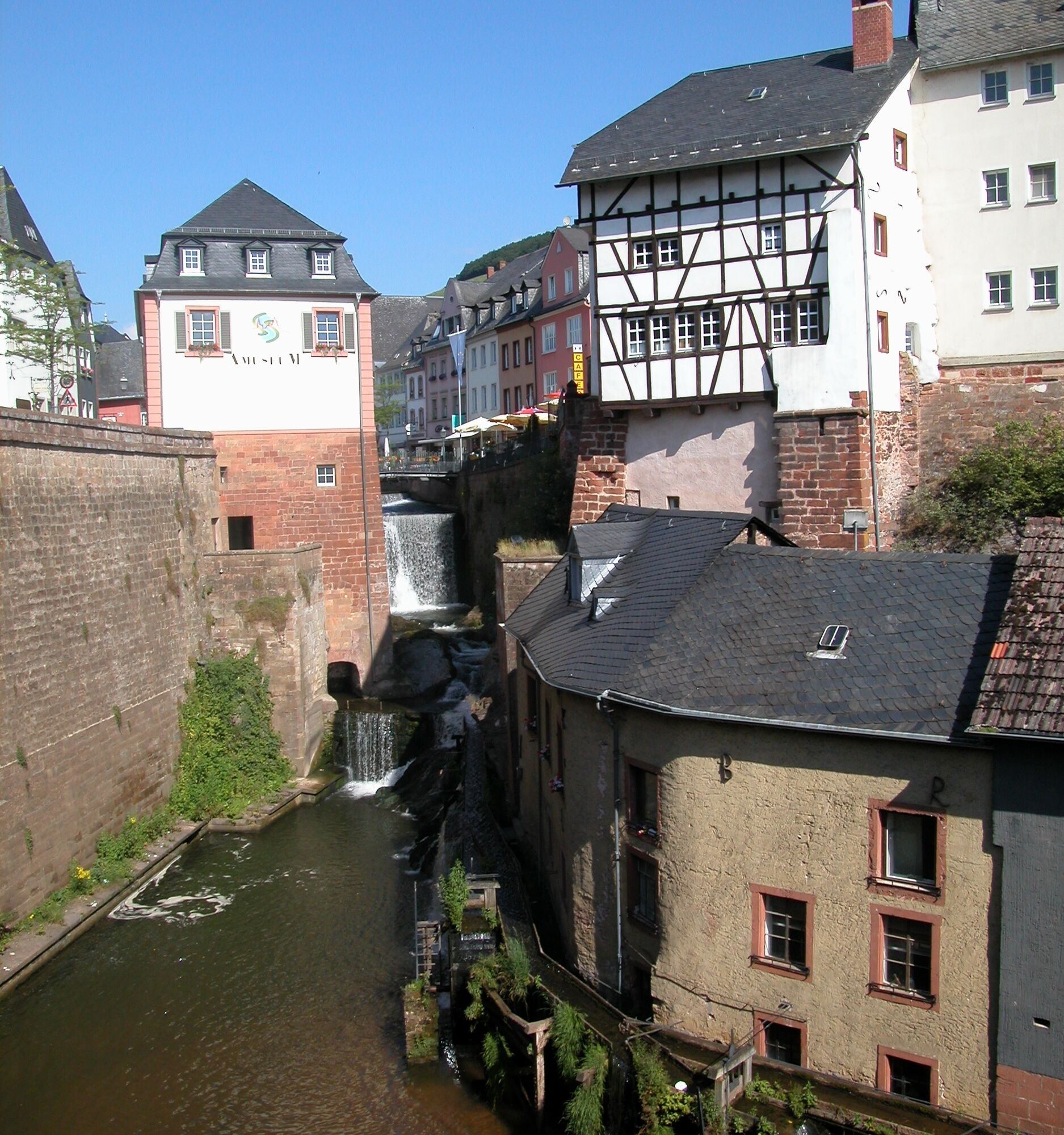
The VeloRoute SaarLorLux connects the cities of Saarbrücken, Trier, and Luxembourg in a large circular route. It uses the valleys of the Saar, Mosel, and Sauer, but also repeatedly crosses over the heights of the watersheds into the next valley. The Rhineland-Palatinate route sections Saarhölzbach - Saarburg - Konz - Trier - Igel - Wasserbilligerbrück - Metzdorf run entirely on the river bike paths of the Mosel and the Saar.

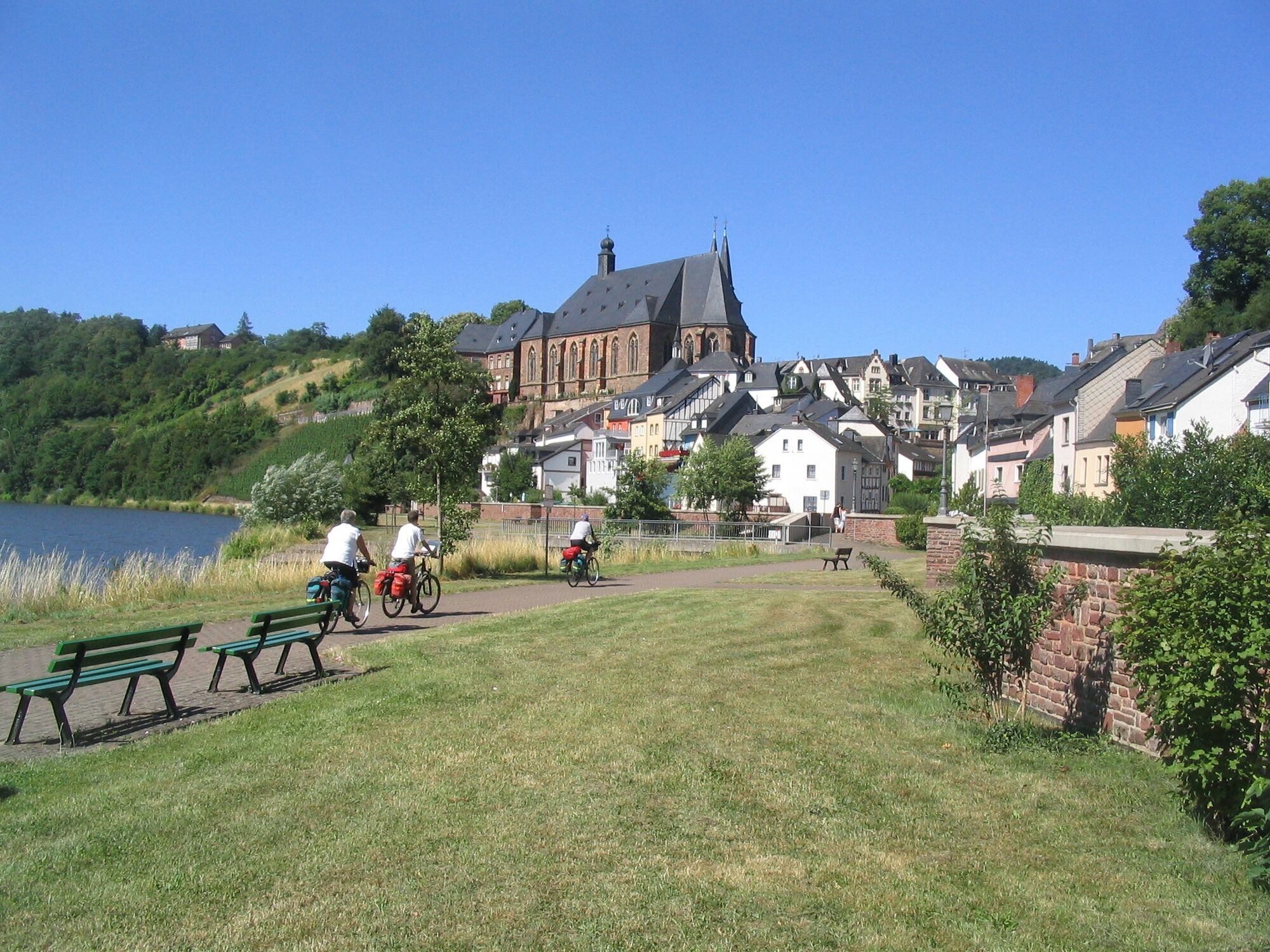
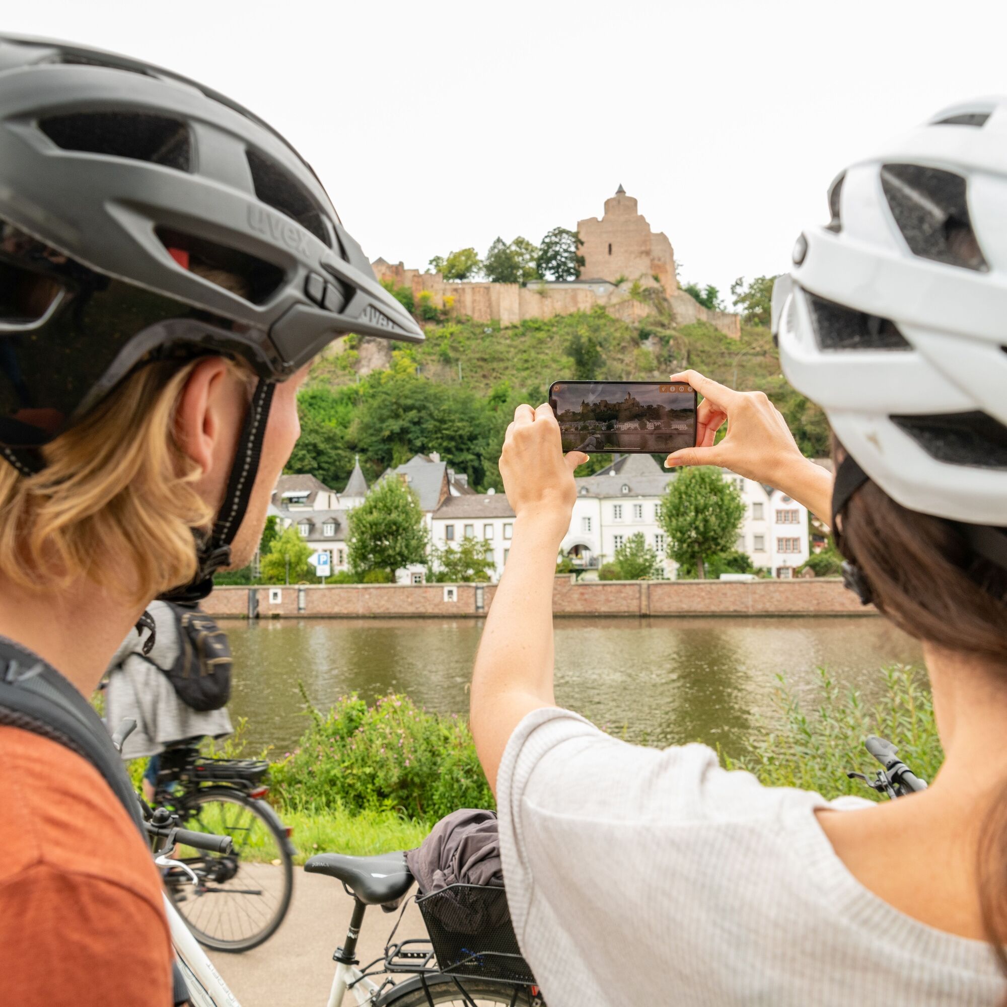
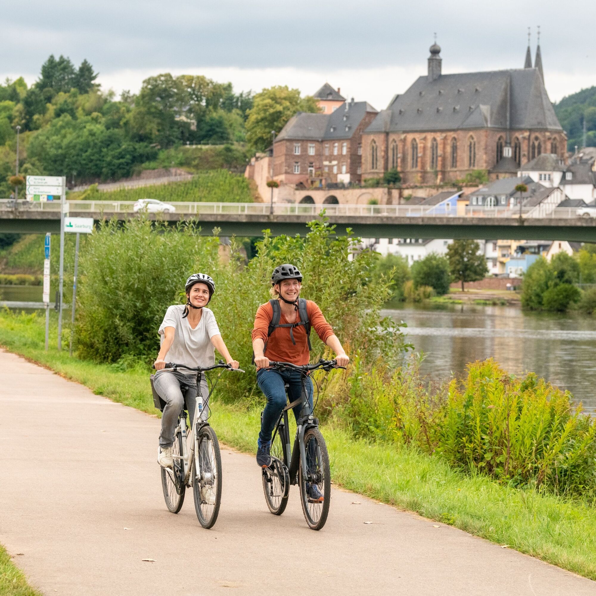
Route character: Primarily flat route along rivers, with sections of gentle inclines in between.
Routing: Entirely on forest and farm roads and urban streets. No routing on country roads without bike paths.
Surface quality: Entirely on asphalt and concrete surfaces.
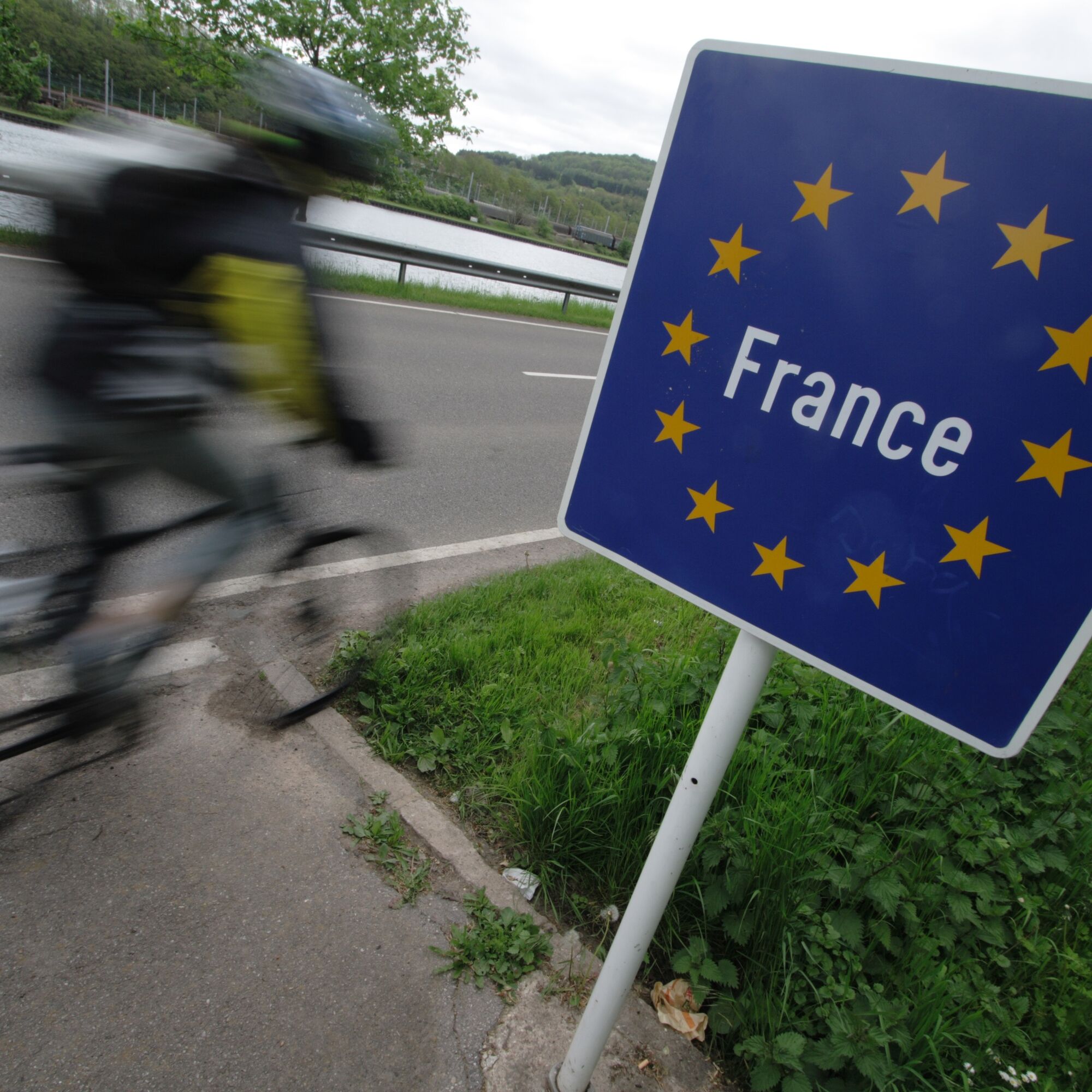
The route in the bike path network: The VeloRoute SaarLorLux connects three countries internationally.
Source and more info: www.radwanderland.de
Áno
Traffic-safe bicycle, bike helmet, repair kit for small repairs, overview map of the bike paths.
We recommend you ride the French section from Metz to Thionville via the newly expanded bike path along the Mosel or through the Cannertal.
Arrival Trier: Trier can be reached via the A 602 or via the B 51/B 49.
Arrival Saarbrücken: Saarbrücken can be reached from the north via the A 1/E 422. From Karlsruhe, Saarbrücken can be reached via the A 8. It crosses the A 6 at the Neunkircher Kreuz and the A 1 at the Saarbrücken Kreuz.
Arrival Luxembourg: Luxembourg can be reached from Trier via the A 64.
The railway lines along the Saar and Mosel run parallel to the VeloRoute.
Train connections from Trier:
to Luxembourg along the Saar to Saarbrücken along the Mosel to PerlThere are various (paid) parking facilities in the cities of Trier, Saarbrücken, and Luxembourg.
Mosellandtouristik GmbH
Kordelweg 1
54470 Bernkastel-Kues
Tel. +49 (0)6531/97330
info@mosellandtouristik.de
www.visitmosel.de
Suggestions, irregularities, or defects? Contact us by email: radwege@lbm.rlp.de (www.radwanderland.de - responsible for infrastructure and path descriptions of the Rhineland-Palatinate section).
Obľúbené výlety v okolí
-
`Grenzblickweg´
strednáTuristika 13,6 km -
Hirn-Gallenberg-Tour
strednáTuristika 7,44 km -
VeloRoute SaarLorLux
strednáCyklistika 488,1 km -
Nied and Bisttal Valley Loop
strednáCyklistika 62,5 km -
Saarland Cycle Route "Stage 6: From Remich to Überherrn"
ťažkéCyklistika 68,4 km -
"TOUR"-Magazin Tourentipp Grenzland-Runde
strednáCestný bicykel 83,7 km -
Teufelsburg Loop
strednáCyklistika 21,8 km -
Niedtal Cycle Route
svetloCyklistika 23,0 km -
Gisinger
strednáTuristika 11,0 km -
4,2
Traumschleife Vaubansteig
ťažkéTuristika 12,1 km
Turistika a stopovanie


Nenechajte si ujsť ponuky a inšpiráciu na ďalšiu dovolenku
Vaša e-mailová adresa bol pridaný do poštového zoznamu.