


The GR® de Pays of the Déodatie (Northern Loop) - Grandes Echappées Vosgiennes
Úroveň náročnosti: T2
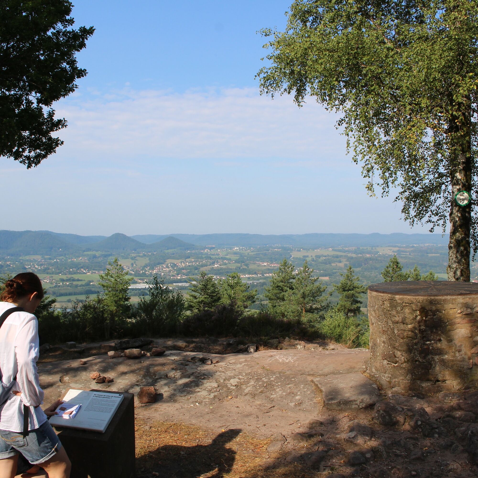
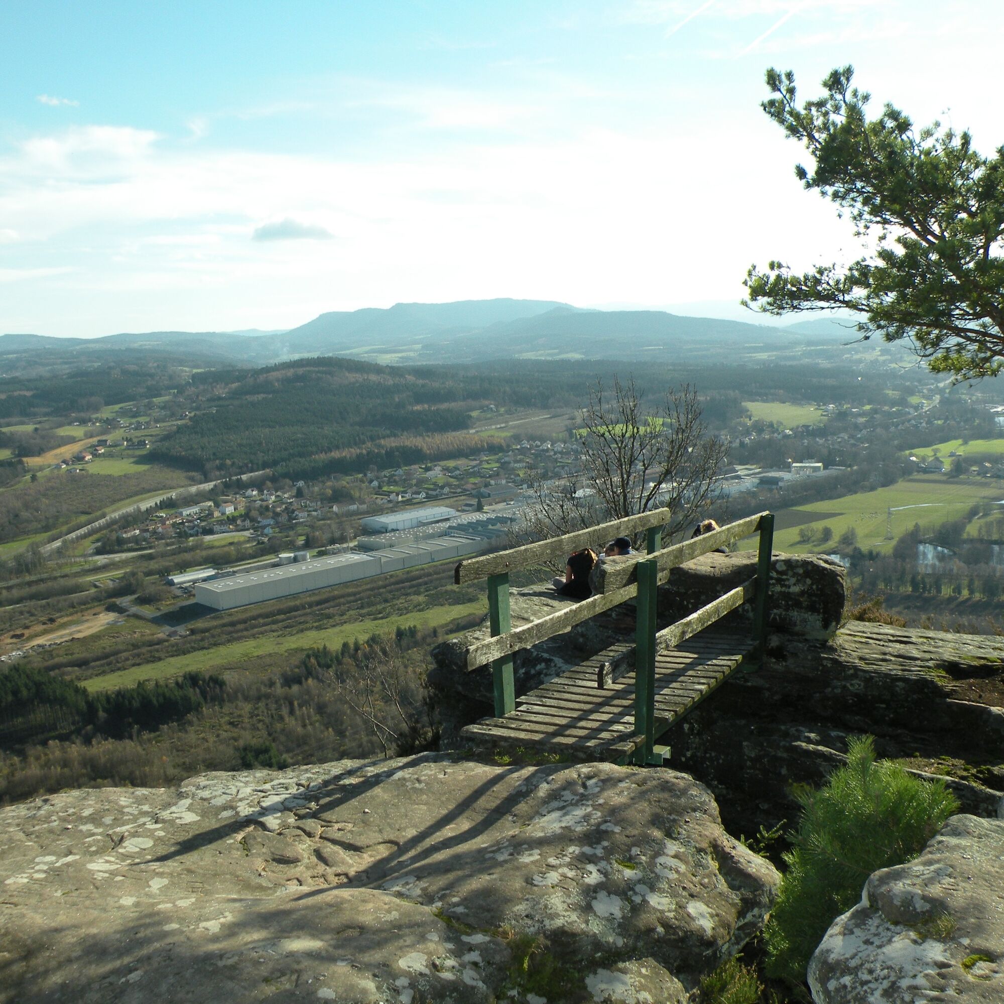
Since Antiquity, with the panorama offered from the Pierre d’Appel, passing notably by the famous abbeys of the towns of Senones, Moyenmoutier, and Etival-Clairefontaine. The trail will then guide you...
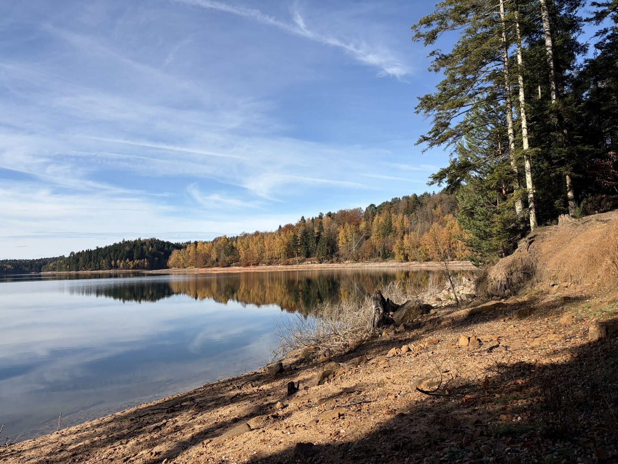
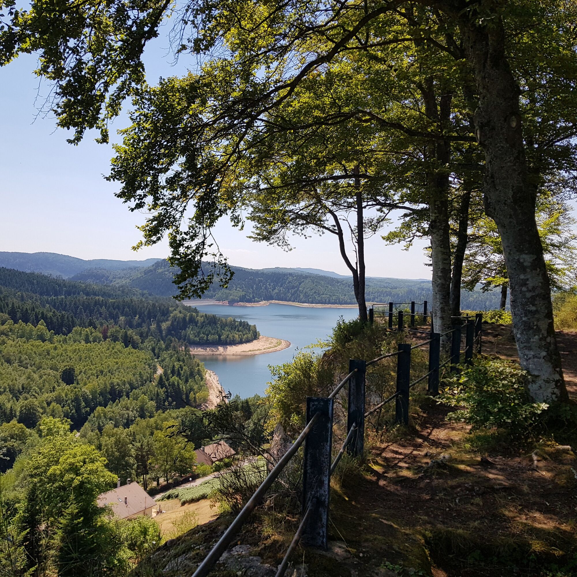
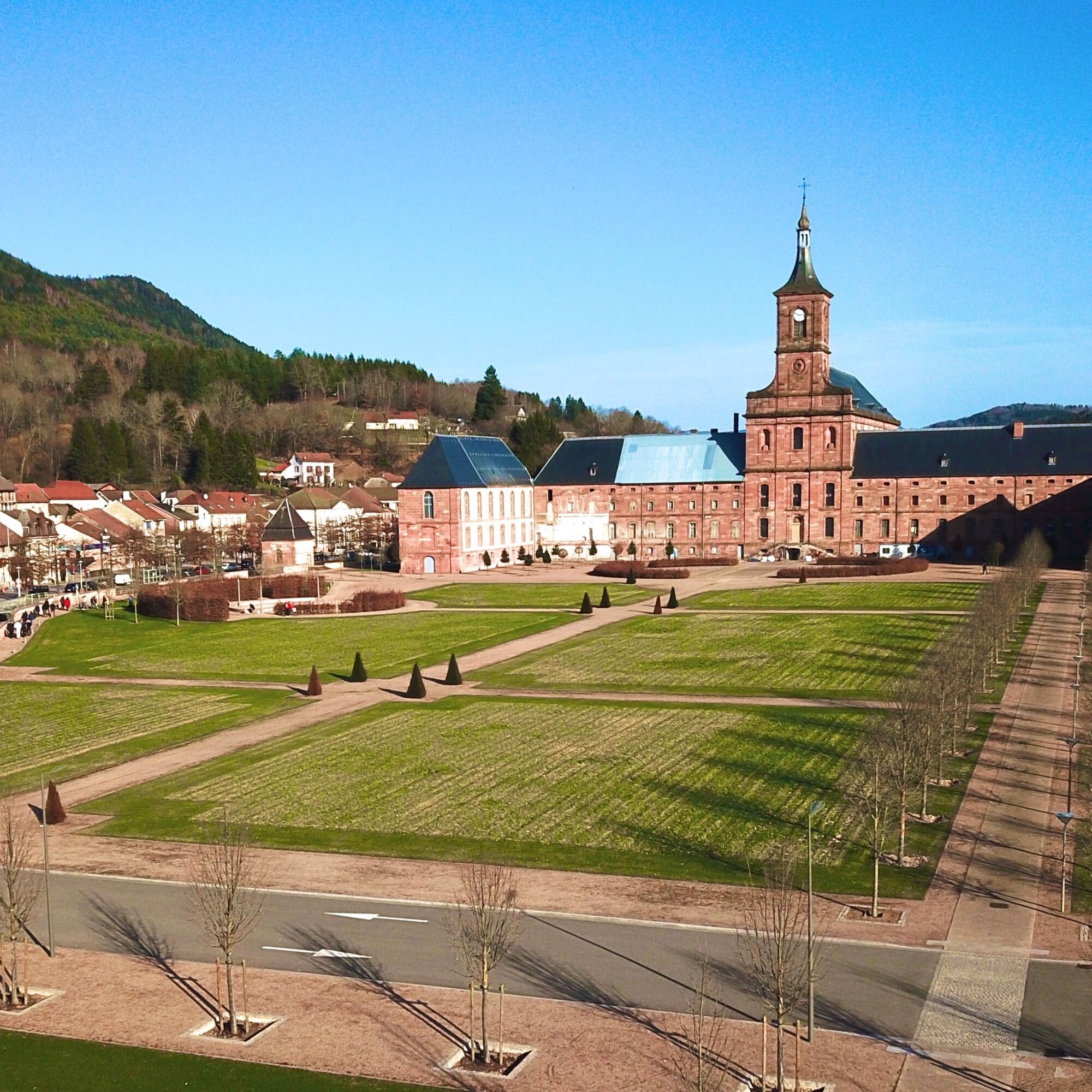
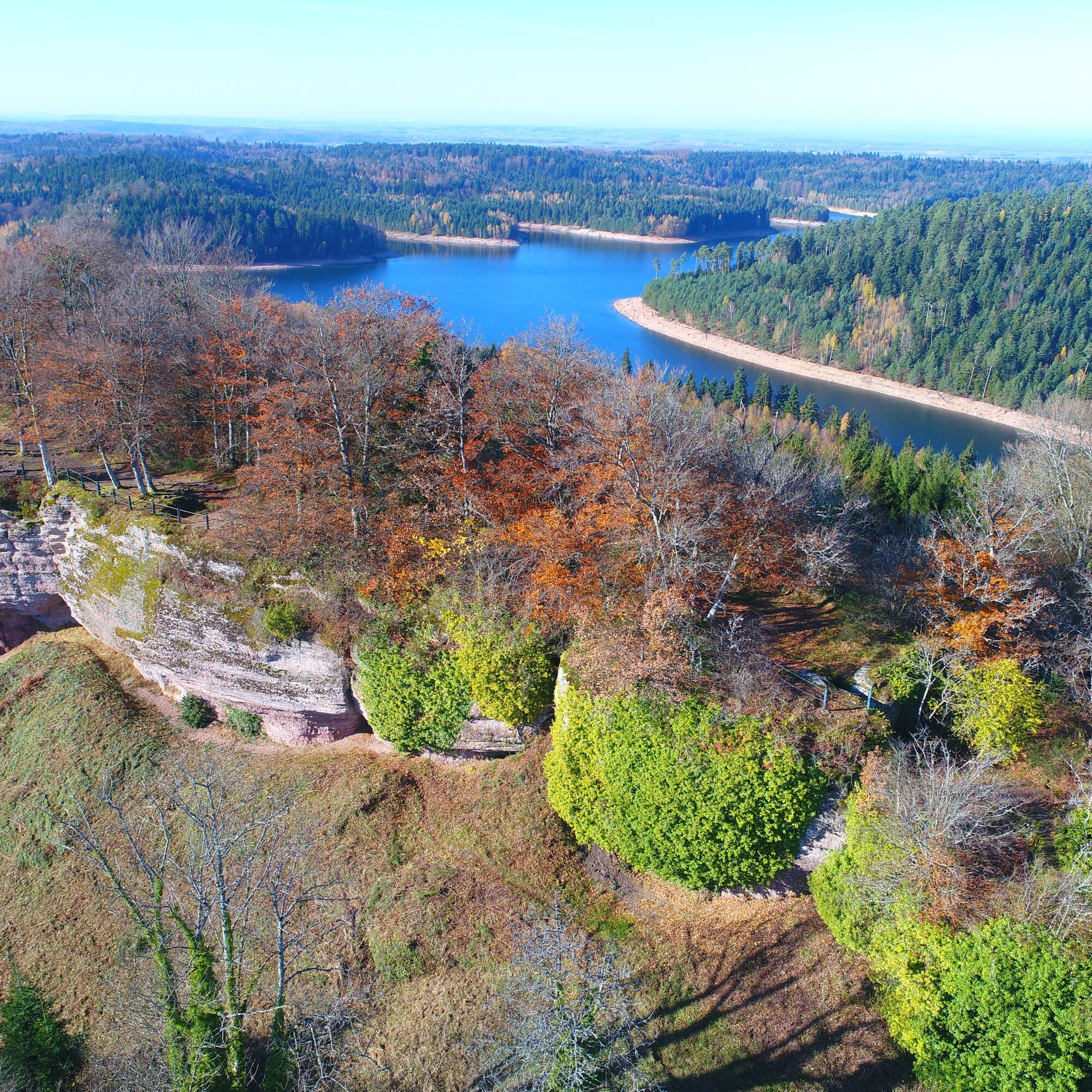
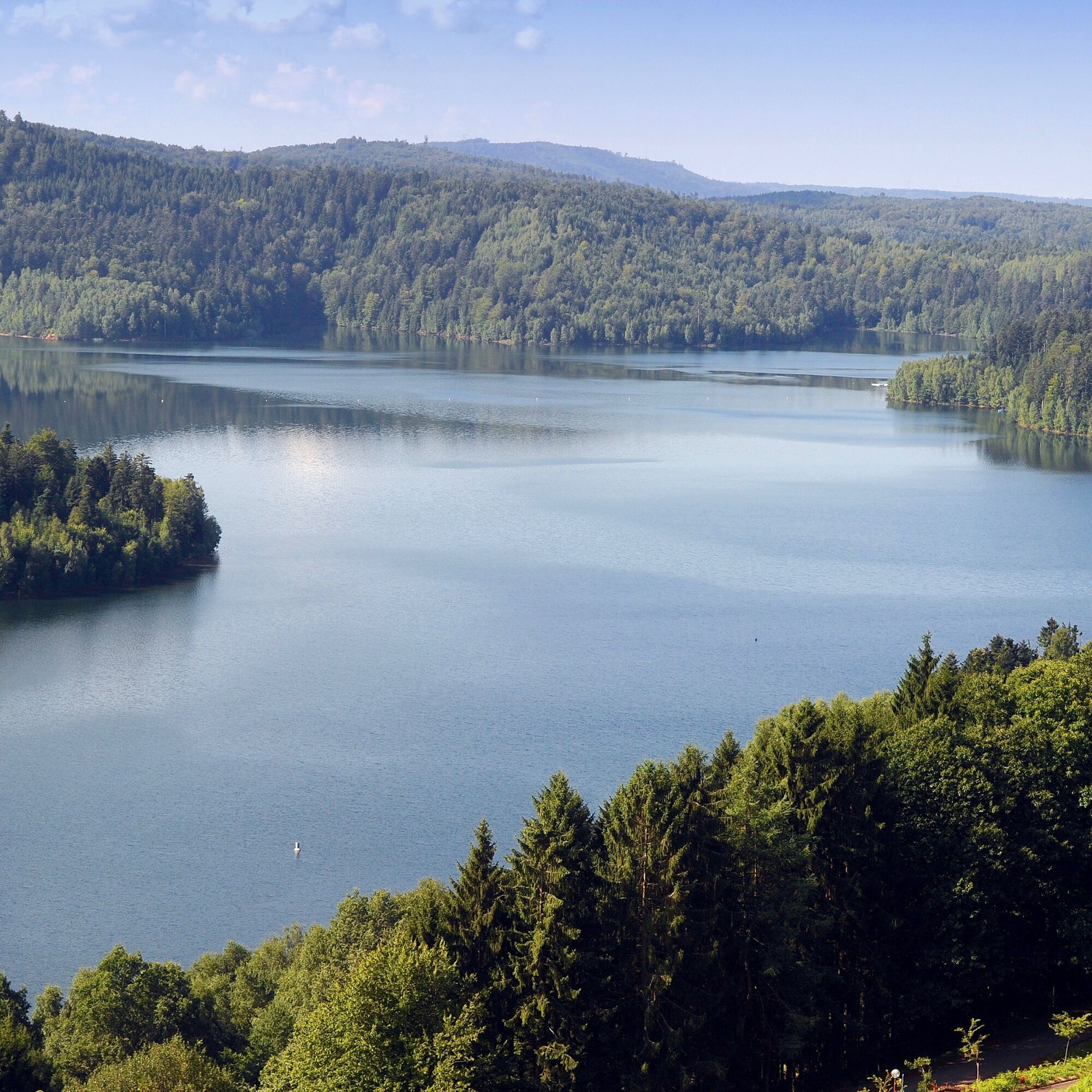
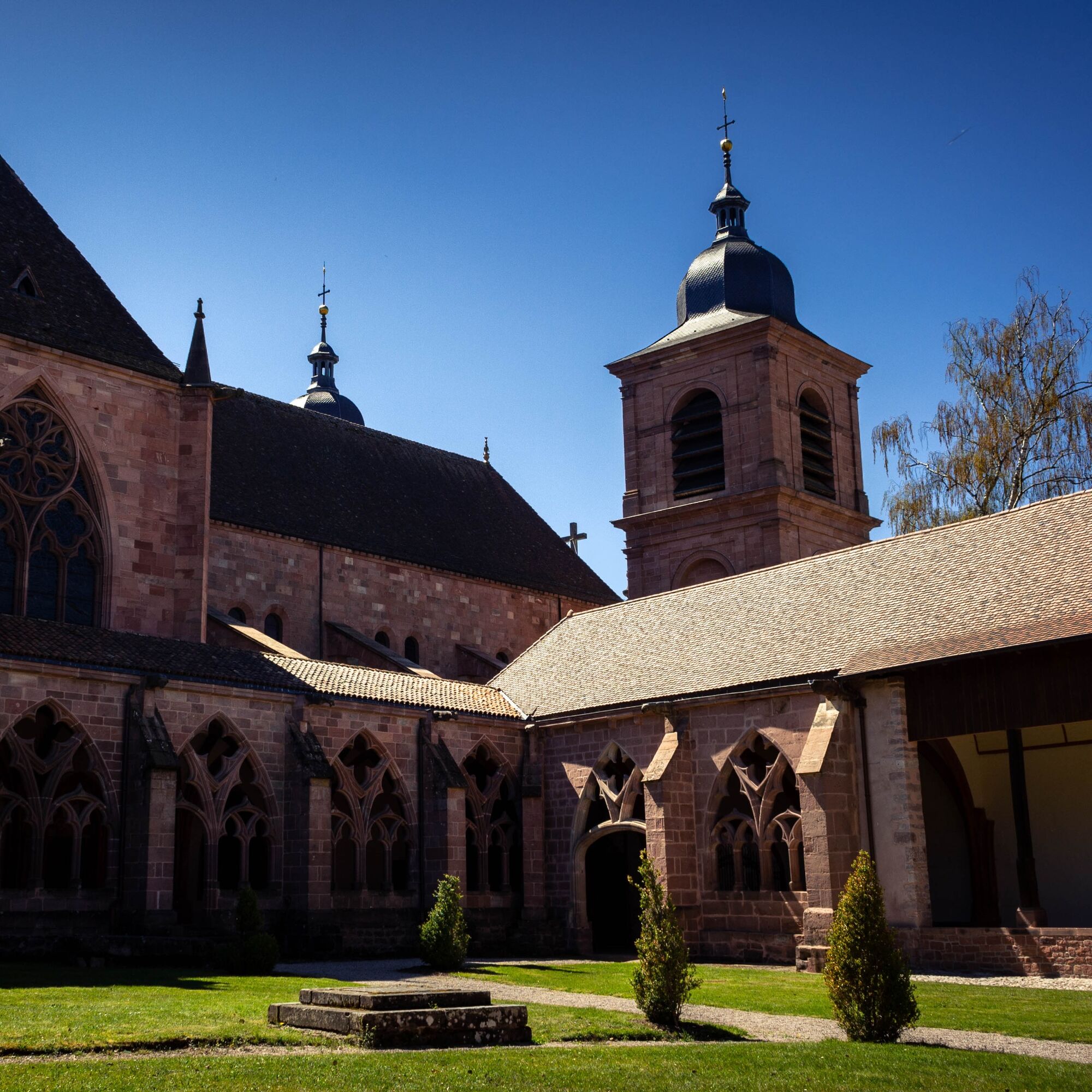
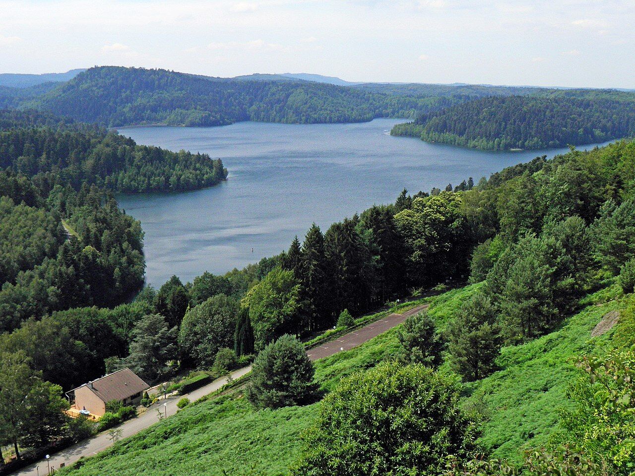
Since Antiquity, with the panorama offered from the Pierre d’Appel, passing notably by the famous abbeys of the towns of Senones, Moyenmoutier, and Etival-Clairefontaine. The trail will then guide you into the heart of the Plaine and Rabodeau valleys. You can then enjoy the astonishing landscapes offered by the lakes of Pierre-Percée and Celles-sur-Plaine, and then take a leap into the history of the Great War through the discovery of notable sites such as the Tête du Coquin.

136 kilometers – 7 days
Áno
Clothing suitable for the season and conditions (cold, hot, humid…)
Hiking shoes appropriate for the terrain (even for children!)
Hiking poles (useful for stability and to relieve joints)
Mobile phone and spare battery
Before leaving:
Check the general and local weather, ensuring there is no precipitation Get information about the approach walk, route elevation, travel time, possible escape routes (IGN map, GPS, guidebook, etc.) Assess potential risks by consulting mountain professionals, shelters, lodgings Inform a close contact of your objective and update them in case of change: departure and return times, number of participants with phone numbers, vehicle(s), parking Avoid going alone, use equipment suitable for the activity, adjusted and in good condition, headlamp, complete first aid kit, survival blanket, etc. In case of problems, call 112 (European emergency number)Via the N59 to reach Saint-Dié (88100).
www.fluo.eu
By train, Saint-Dié-des-Vosges station (88100).
Free parking around the Saint-Dié station.
T2
https://deodatie.com/grandes-echappees-vosgiennes/
Contact: Fiona MIOTTO - Pedestrian Itinerances Project Manager, PETR of the Pays de la Déodatie
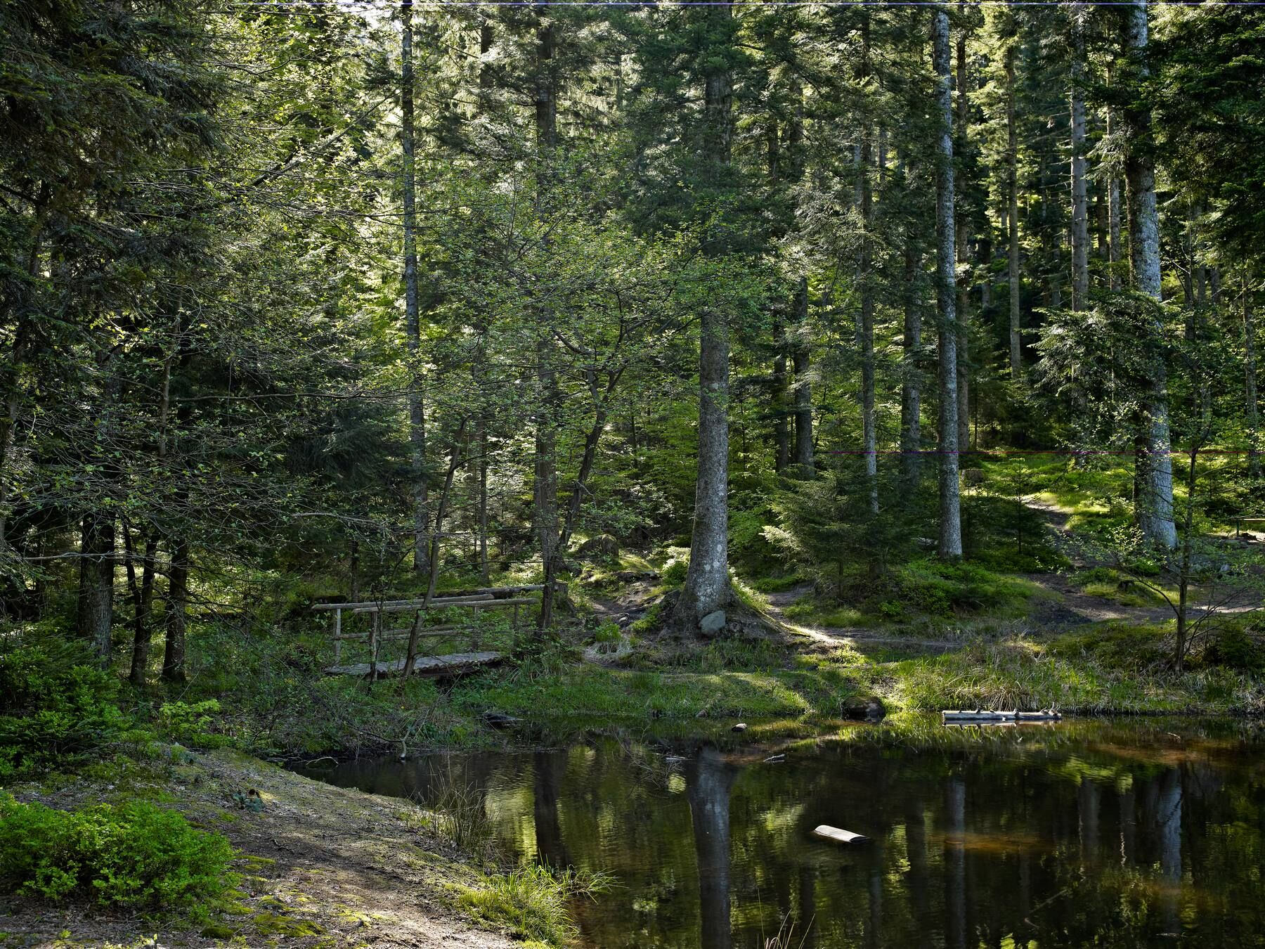
Finally, the coniferous forests you will be walking through will immerse you in a fascinating and magical universe, guiding you to legendary places such as the Maix lake and the Bure camp.
Obľúbené výlety v okolí
-
5,0
Pierre Percée - 7 rouge
strednáMountainbike 28,6 km -
Hiking route H06: The summit of Voyemont
strednáTuristika 9,83 km -
Greenway of the Rabodeau valley
strednáCestný bicykel 13,2 km -
Panoramic loop of the Plaine valley
strednáTuristika 12,4 km -
Randonnée pédestre - Massif de la Madeleine - M1
strednáTuristika 5,52 km -
Circuit of the Haute Pierre
strednáTuristika 10,7 km -
Theme trail: The Salm Passers' Trail (Alsace) to Moussey (Vosges)
strednáTuristika 11,4 km -
Heritage trail 17: The 3 abbeys
strednáCestný bicykel 28,5 km -
The Ormont Massif
strednáTuristika 7,12 km -
Jean Bolot Circuit
strednáTuristika 11,9 km
Turistika a stopovanie


Nenechajte si ujsť ponuky a inšpiráciu na ďalšiu dovolenku
Vaša e-mailová adresa bol pridaný do poštového zoznamu.