






Panoramic loop of the Plaine valley
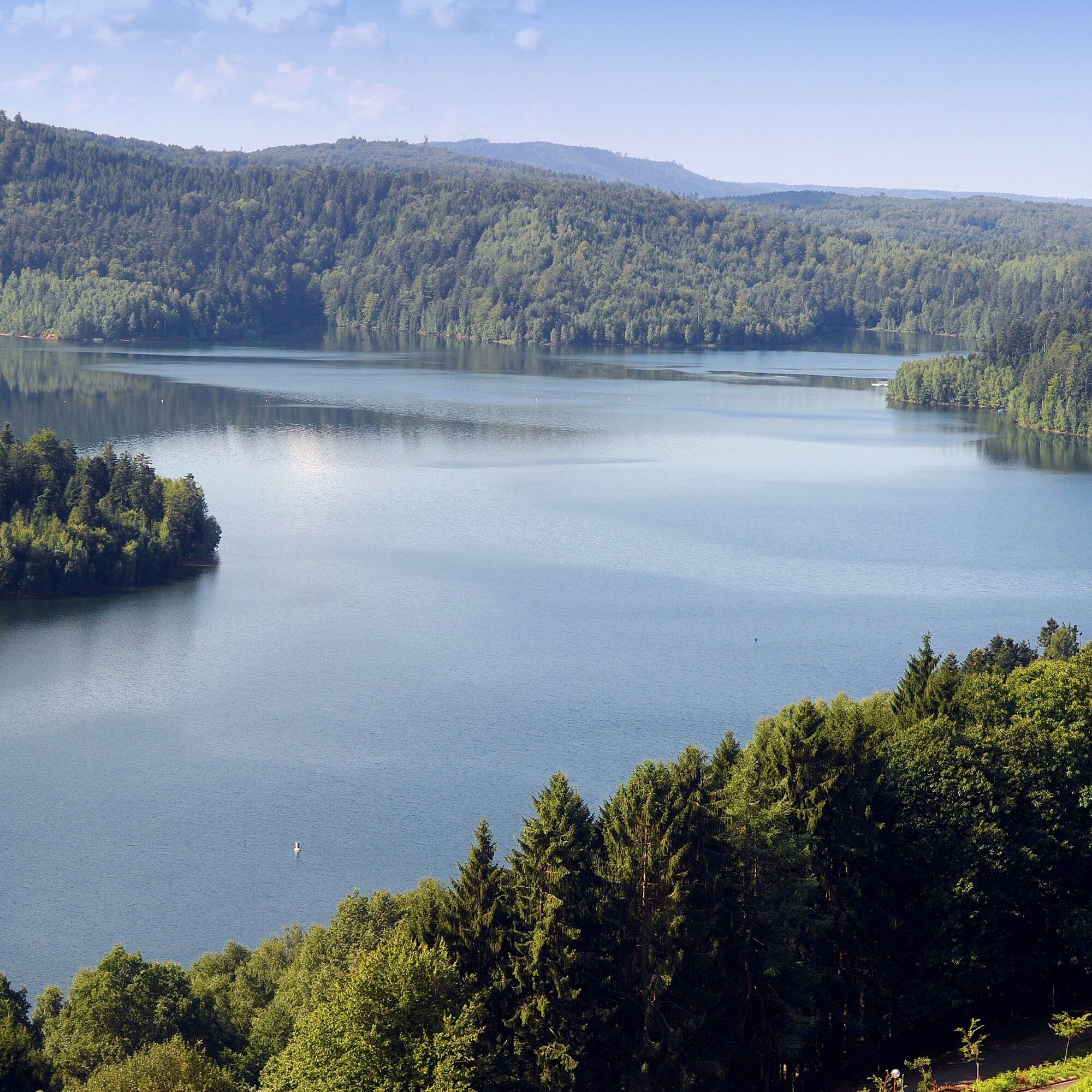
The Plaine lake is also part of the route.

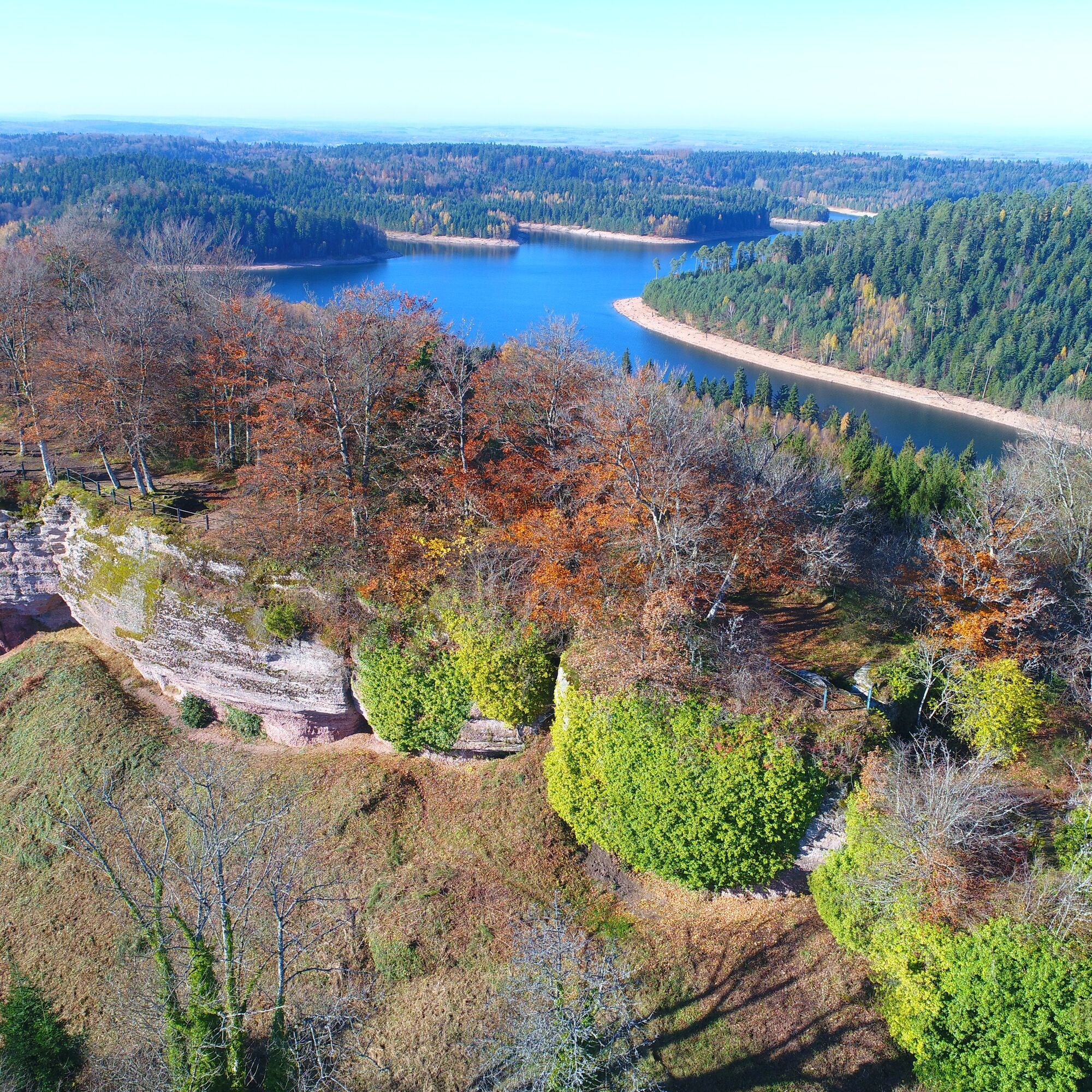
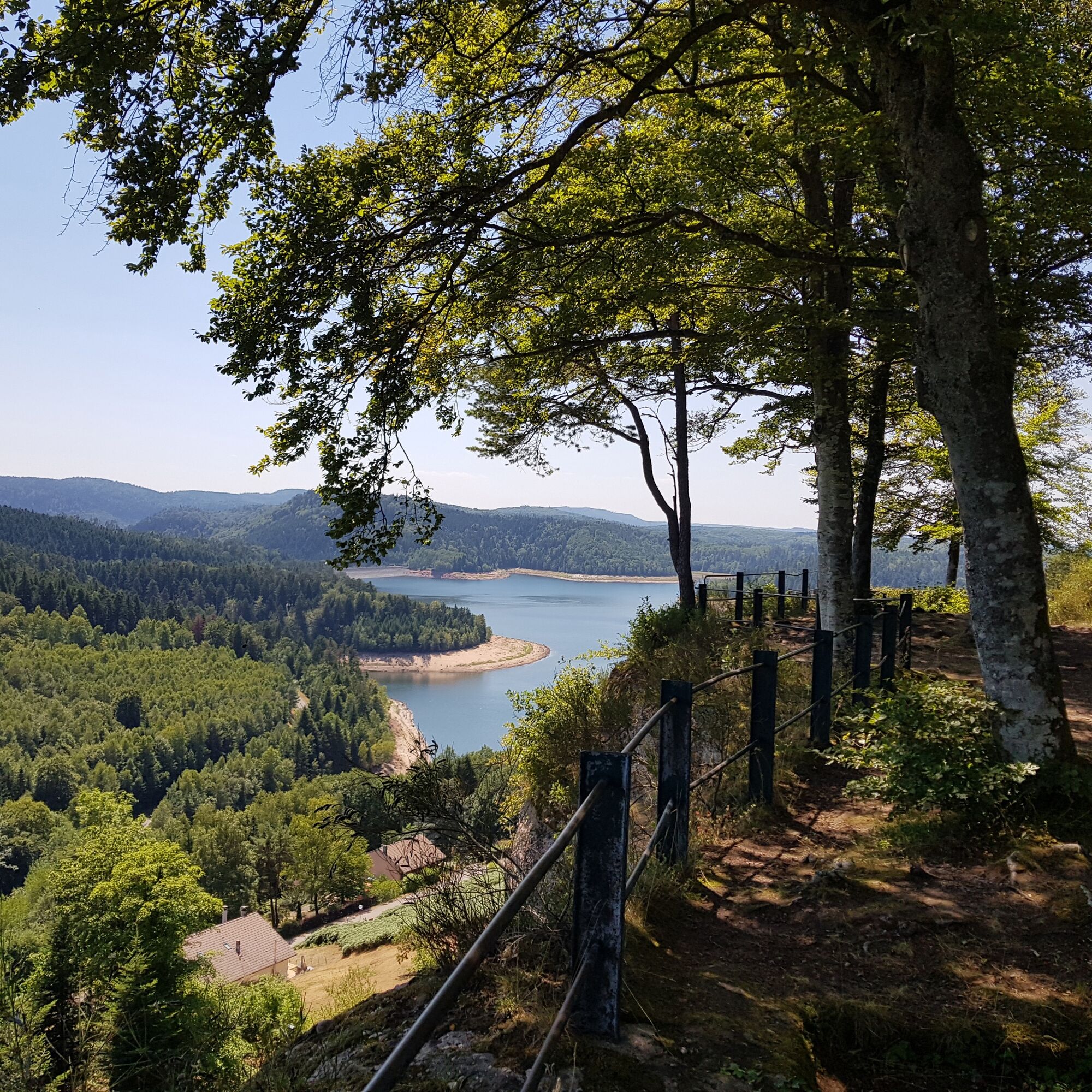

1. reach the rock of the Pierre à Cheval by following the red cross markings. Follow the red ring to the Grotte des Poilus then follow the green rectangle, the blue ring and finish with the blue and yellow crosses.
Áno
Áno
Appropriate clothing for the season and conditions (cold, hot, humid…)
Hiking shoes suitable for the terrain (even for children!)
Hiking poles (useful for stability and to relieve joints)
Mobile phone and spare battery
Before you leave:
Check general and local weather, ensuring no precipitation
Get information about the approach walk, height of the route, estimated time, possible escape routes (IGN map, GPS, guidebook, etc.)
Assess possible risks by consulting mountain professionals, refuges, lodgings
Inform a close person of your plan and contact them if anything changes: departure and return times, number of participants with their phone numbers, vehicle(s), parking
Avoid going alone, use equipment appropriate to the activity, adjusted and in good condition, headlamp, complete first aid kit, survival blanket, etc.
In case of problems, call 112 (European emergency number)
Col de la Chapelote
54540 Badonviller
www.fluo.eu
Free parking on site
Obľúbené výlety v okolí
-
The GR® de Pays of the Déodatie (Northern Loop) - Grandes Echappées Vosgiennes
ťažkédiaľková pešia trasa 134,1 km -
5,0
Pierre Percée - 7 rouge
strednáMountainbike 28,6 km -
Hiking circuit D04: Southern fortified positions of Donon
strednáTuristika 12,0 km -
Hiking circuit: Salm and the Hanging Cat
strednáTuristika 6,16 km -
Greenway of the Rabodeau valley
strednáCestný bicykel 13,2 km -
Hike Farm-Inn Bambois: at the foot of a massif full of history
svetloTuristika 9,76 km -
Circuit of the Haute Pierre
strednáTuristika 10,7 km -
Theme trail: The Salm Passers' Trail (Alsace) to Moussey (Vosges)
strednáTuristika 11,4 km -
Heritage trail 17: The 3 abbeys
strednáCestný bicykel 28,5 km -
Coucou pond to La Chatte Pendue
strednáTuristika 4,97 km

Turistika a stopovanie


Nenechajte si ujsť ponuky a inšpiráciu na ďalšiu dovolenku
Vaša e-mailová adresa bol pridaný do poštového zoznamu.





