







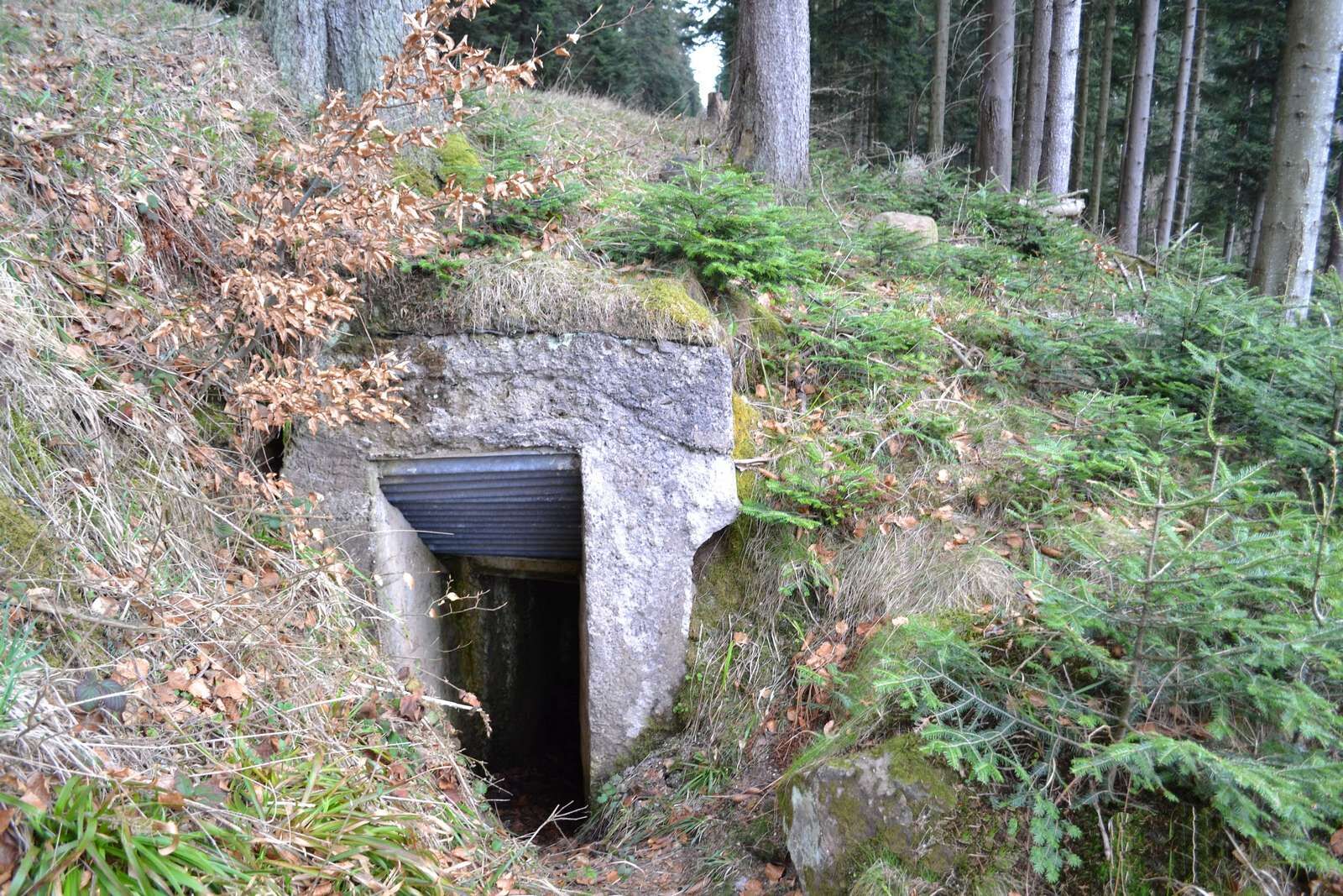
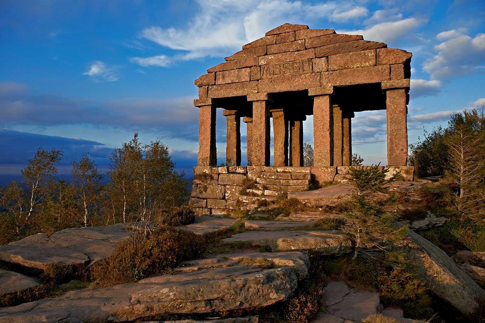
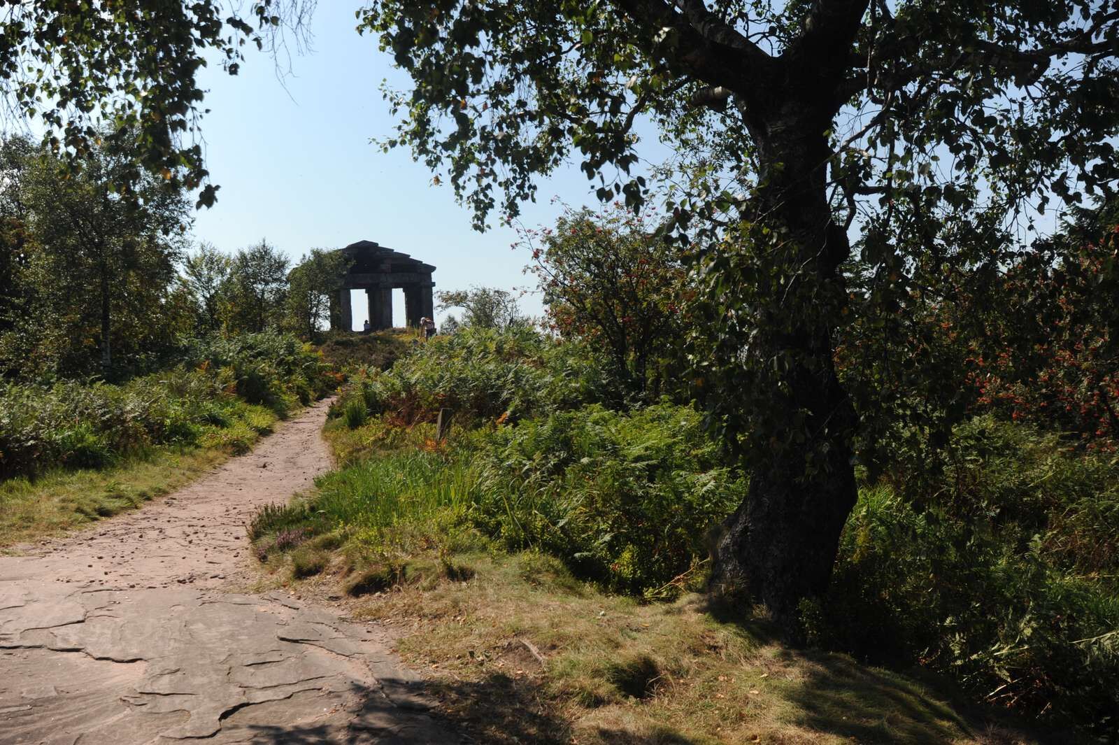
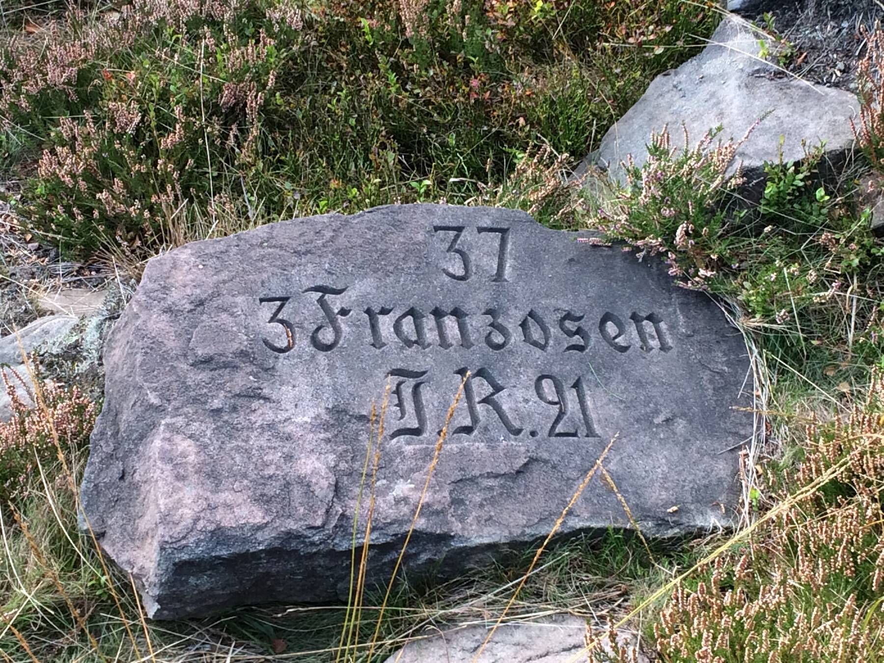
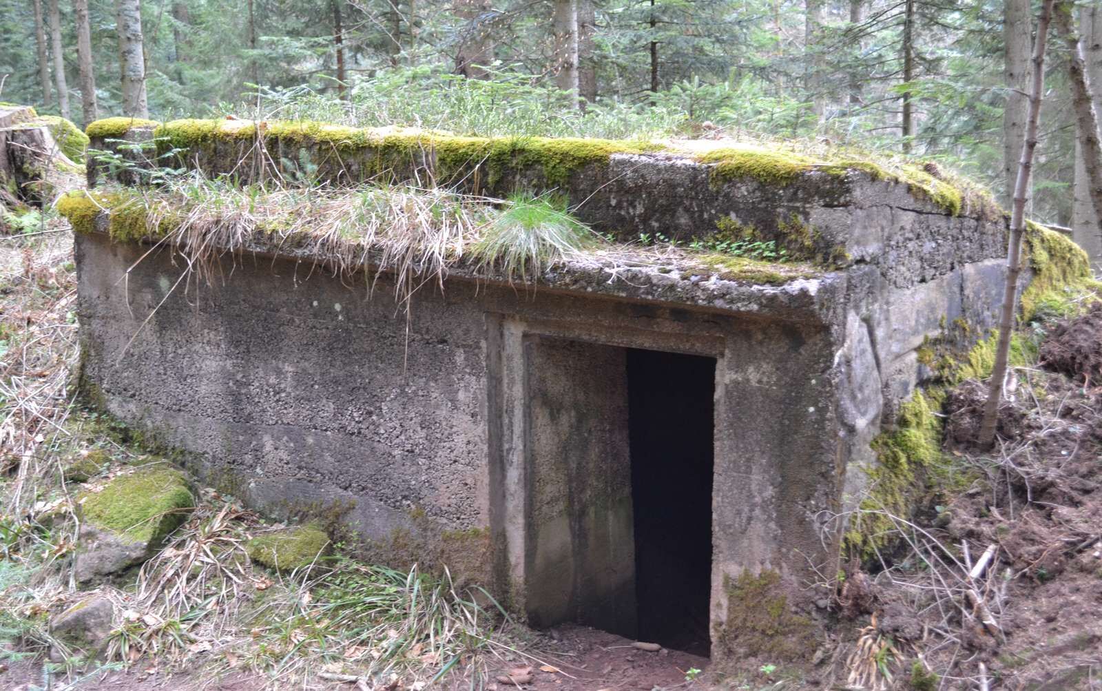
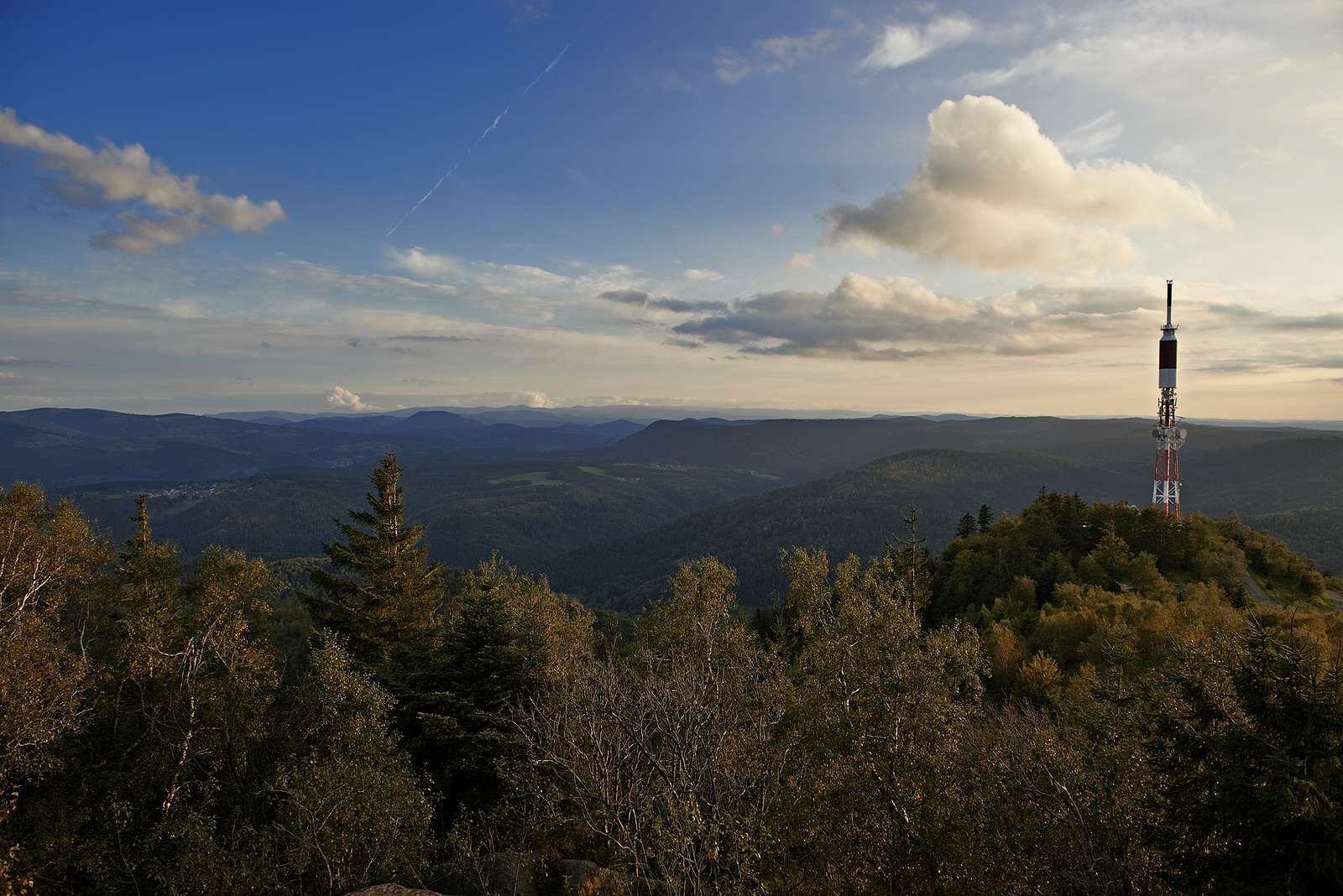
Hiking circuit D04: Southern fortified positions of Donon
The "red ring" marking may not be present on hiking maps, but it is visible on site.


https://apps.tourisme-alsace.info/photos/bruche/photos/215002299_d1.pdf
Áno
Áno
Recommended equipment
Clothing suitable for the season and conditions (cold, hot, humid…)
Hiking shoes adapted to the terrain (even for children!)
Telescopic poles (useful for stability and to relieve joints)
Mobile phone and spare battery if needed
In case of problem
Call 112 (European emergency number)
5 key points to communicate your alert:
Where? municipality, location, route, altitude
Who? identity, phone number
What? type of accident, number of victims, severity, fall dynamics
When? time of the accident Weather? wind, visibility
Col du Donon (67130 Grandfontaine) via road D 392
Free parking near the military cemetery
BRUCHE VALLEY TOURIST OFFICE
114 Grand Rue
Valley House
67130 Schirmeck
Tel: 03 88 47 18 51
tourisme@valleedelabruche.fr
Obľúbené výlety v okolí
-
Hiking circuit B02: The Mutzig rock and the Porte de Pierre
strednáTuristika 10,9 km -
The GR® de Pays of the Déodatie (Northern Loop) - Grandes Echappées Vosgiennes
ťažkédiaľková pešia trasa 134,1 km -
5,0
Hiking circuit C10: The Serva waterfall
strednáTuristika 8,52 km -
Crossing of the Vosges Massif - Stage 08 - Urmatt - Schirmeck
ťažkédiaľková pešia trasa 33,2 km -
5,0
Les Deux Donon
strednáTuristika 18 km -
Crossing of the Vosges Massif - Stage 09 - Schirmeck - Le Hohwald
ťažkédiaľková pešia trasa 23,2 km -
Family walk: Little Princes' routes in the Principality of Salm
svetloTuristika 6,28 km -
Hiking circuit: Salm and the Chatte Pendue
strednáTuristika 6,16 km -
Family route: Around Belmont
strednáTuristika 6,36 km -
5,0
Hiking circuit D06: The Petit Donon, sanctuary of the Great War
strednáTuristika 6,98 km
Turistika a stopovanie


Nenechajte si ujsť ponuky a inšpiráciu na ďalšiu dovolenku
Vaša e-mailová adresa bol pridaný do poštového zoznamu.





