


Mittenberg - Maladers
The Chur city bus no. 2 takes you the Fürstenwald above of the city. This is the starting point of this hiking tour. From there, follow the wide forest road steadily up to Mittenberg. On the way and on...
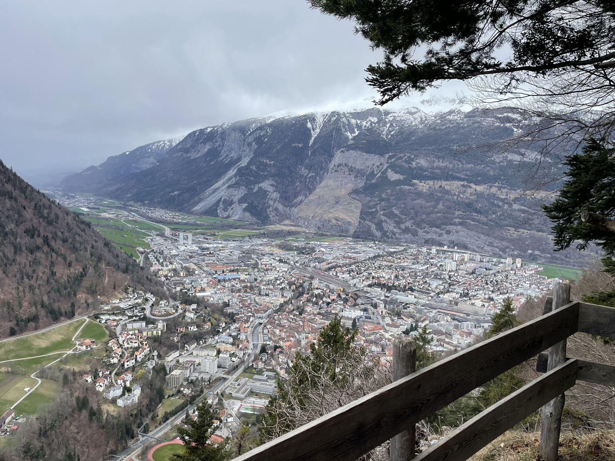
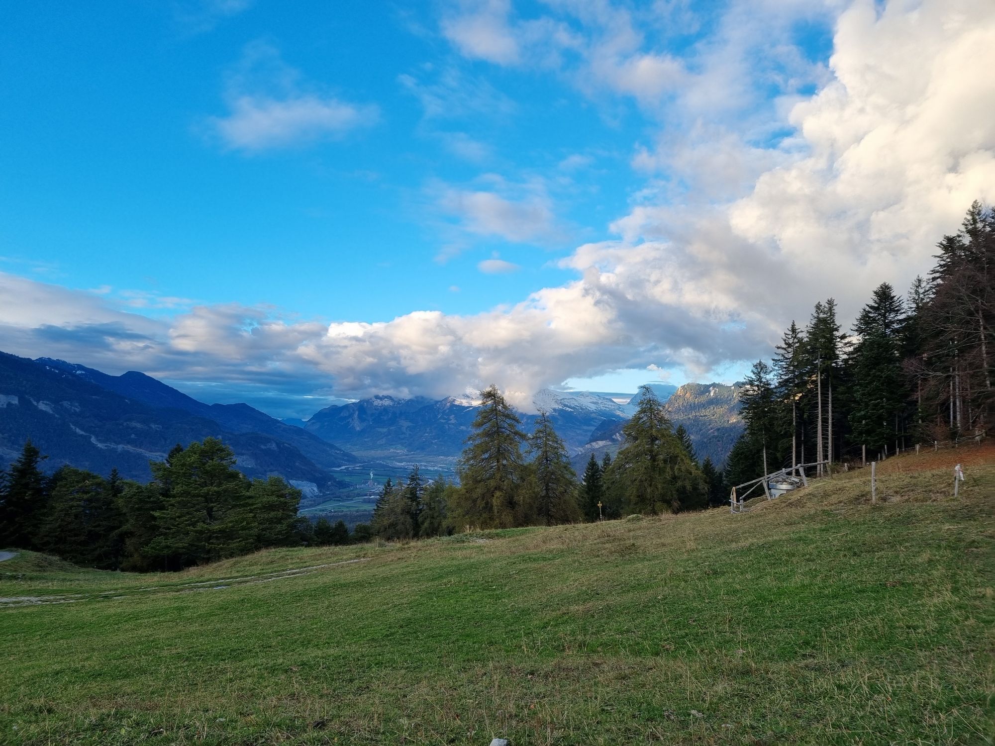
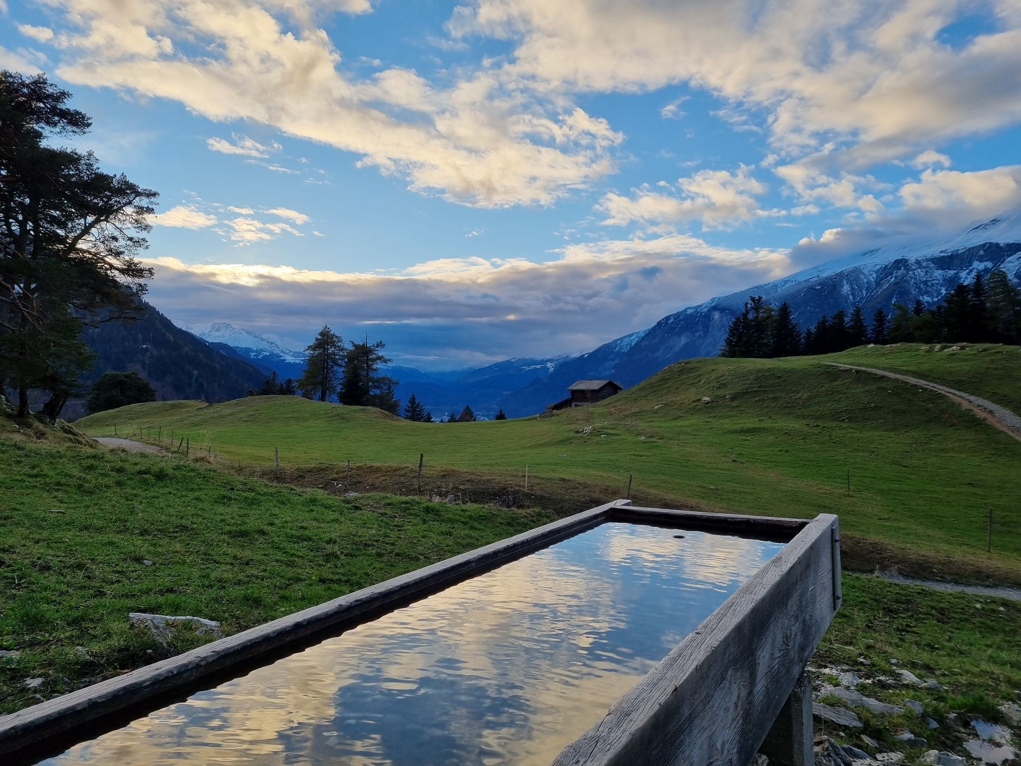
The Chur city bus no. 2 takes you the Fürstenwald above of the city. This is the starting point of this hiking tour. From there, follow the wide forest road steadily up to Mittenberg. On the way and on the Mittenberg you will find fountains with fresh spring water. Up at Mittenberg, you have a wonderful panorama view into the Chur Rhine valley and the surrounding mountains and is an ideal place for a picknick, as well.
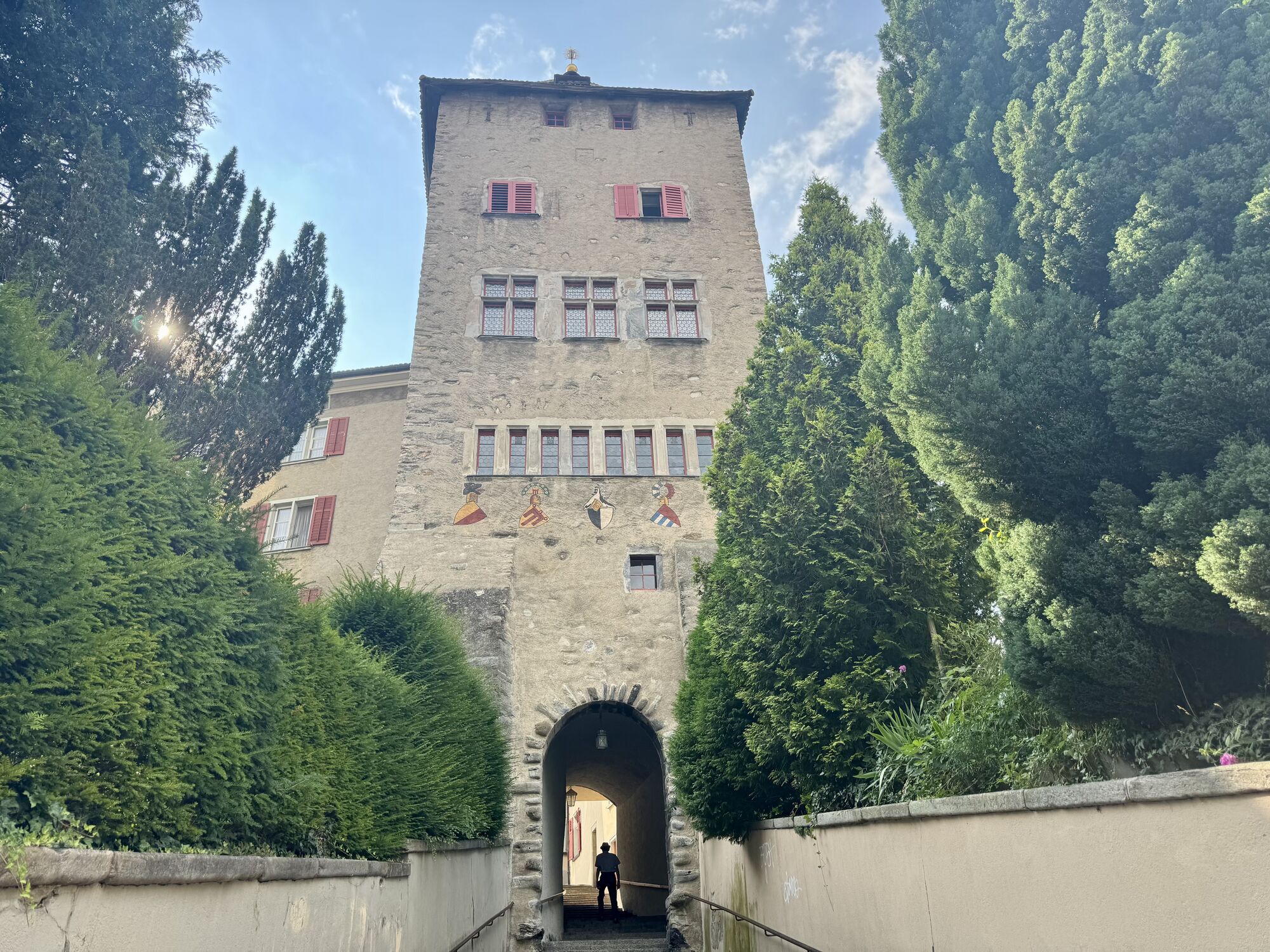
Descent along the pastures to Maladers, Brandacker and below the Arosa street into the direction of the city again, past the Episcopal courtyard with the famous cathedral. There you will enter the wonderful and historic Old town of Chur again.
Obľúbené výlety v okolí
-
4,8
Pizalun circular route
svetloTuristika 7,18 km -
Arosa-Schwellisee-Älplisee-Parpaner Rothorn
Turistika 12,3 km -
4,5
Drachenloch
ťažkéTuristika 9,72 km -
4,7
Arosa-Hörnli-Parpaner Rothorn-Lenzerheide
Turistika 11,9 km -
5,0
Arosa-Hörnli-Urdenfürrgli-Alp Scharmoin-Lenzerheide
strednáTuristika 15,3 km -
5,0
Eichhörnliweg Arosa
svetloTematická trasa 1,72 km -
3,0
From Vättis to the Walser settlement St. Martin
strednáTuristika 8,03 km -
5,0
Spig - Pizalun
strednáTuristika 12,0 km -
5,0
Arosa-Erzhornsattel-Arosa
Turistika 14,9 km -
Haldensteiner Calanda
ťažkéTuristika 16,9 km
Turistika a stopovanie


Nenechajte si ujsť ponuky a inšpiráciu na ďalšiu dovolenku
Vaša e-mailová adresa bol pridaný do poštového zoznamu.