







Samedan-La Punt Chamues-ch-Val Chamuera-Samedan
The starting point of this bike route is the Promulins Arena in Samedan. Via the main road overpass, you reach Lej Gravatscha, an idyllic mountain lake with barbecue areas. At the end of the lake, near...
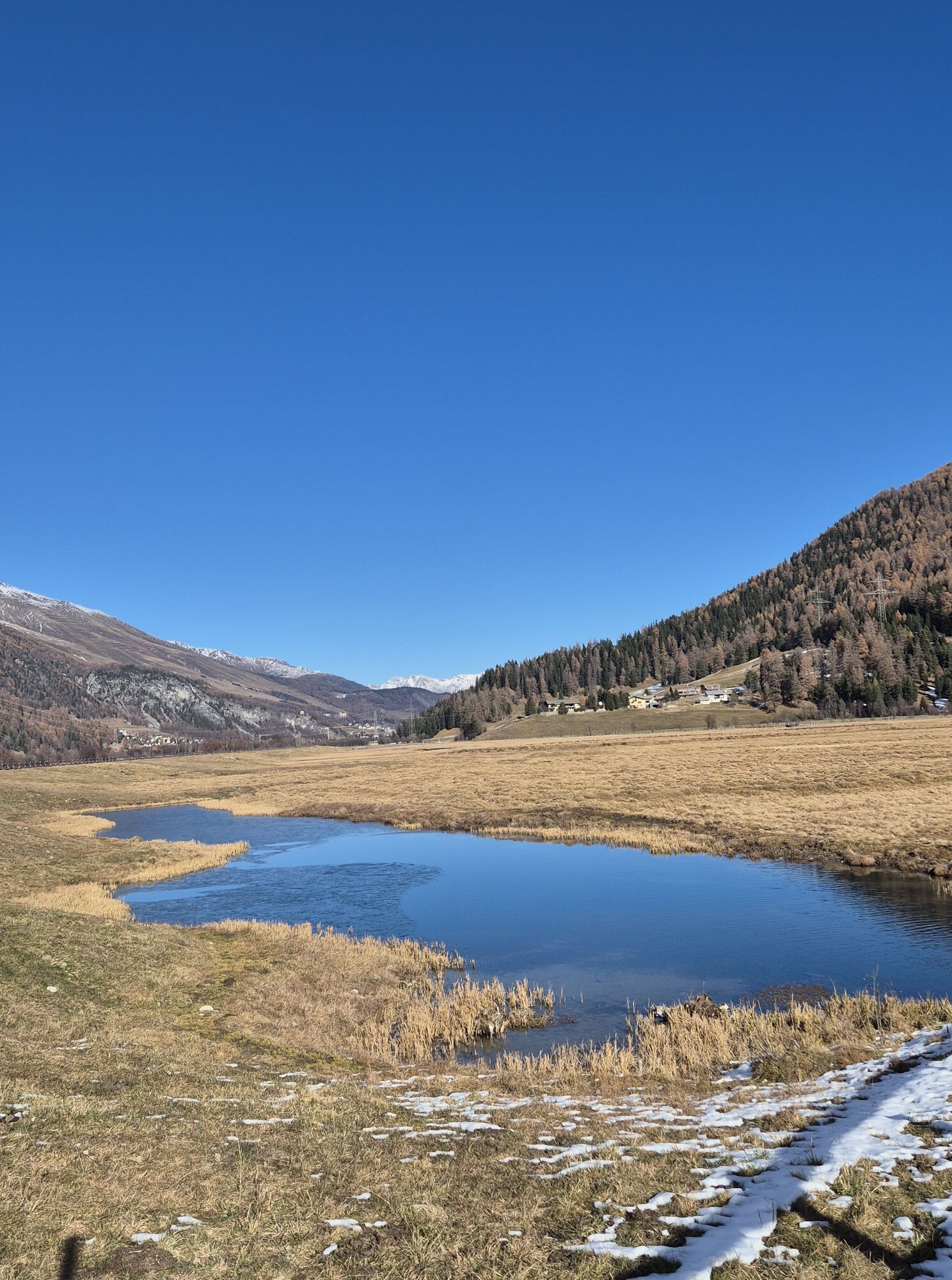
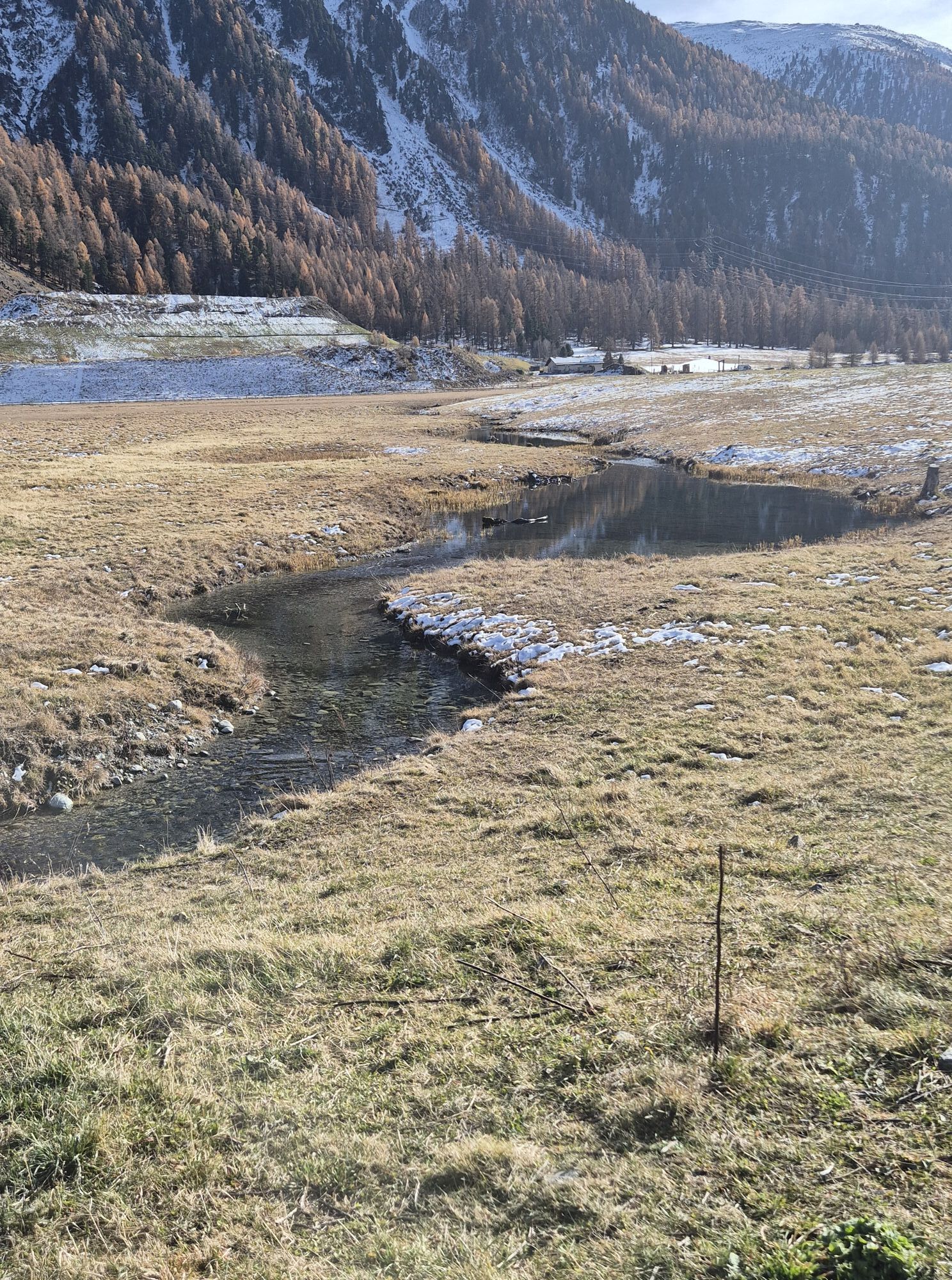
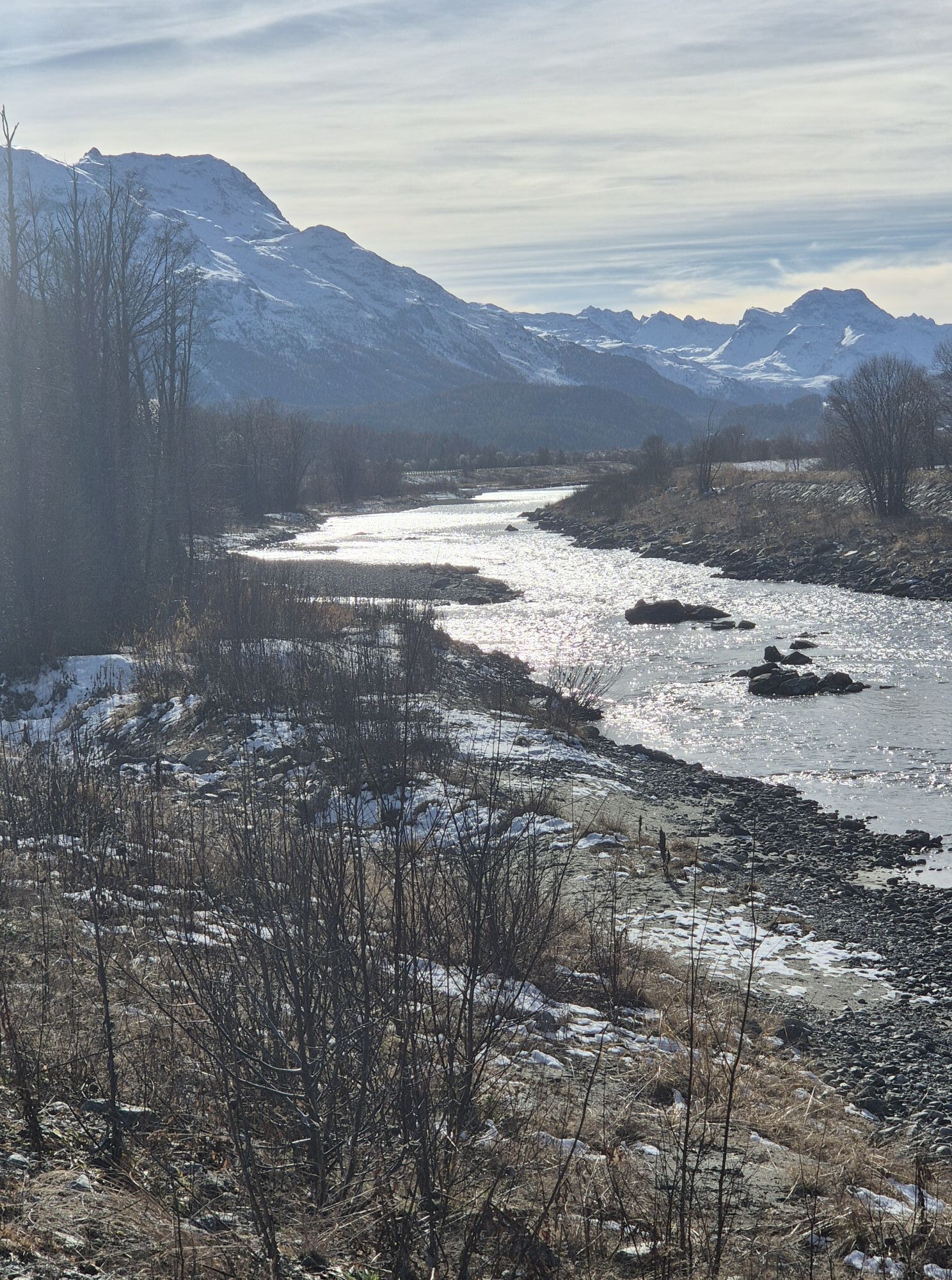
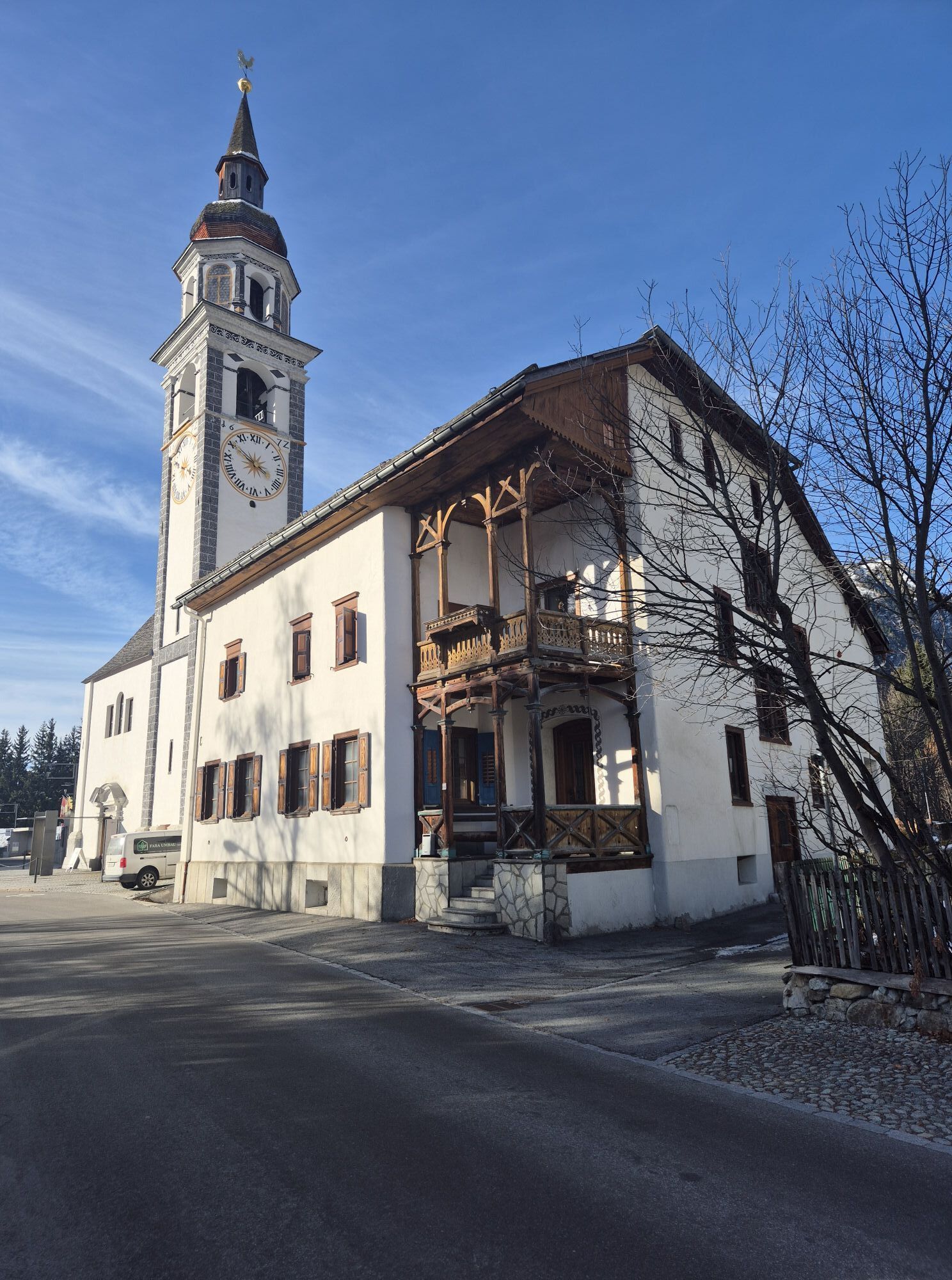
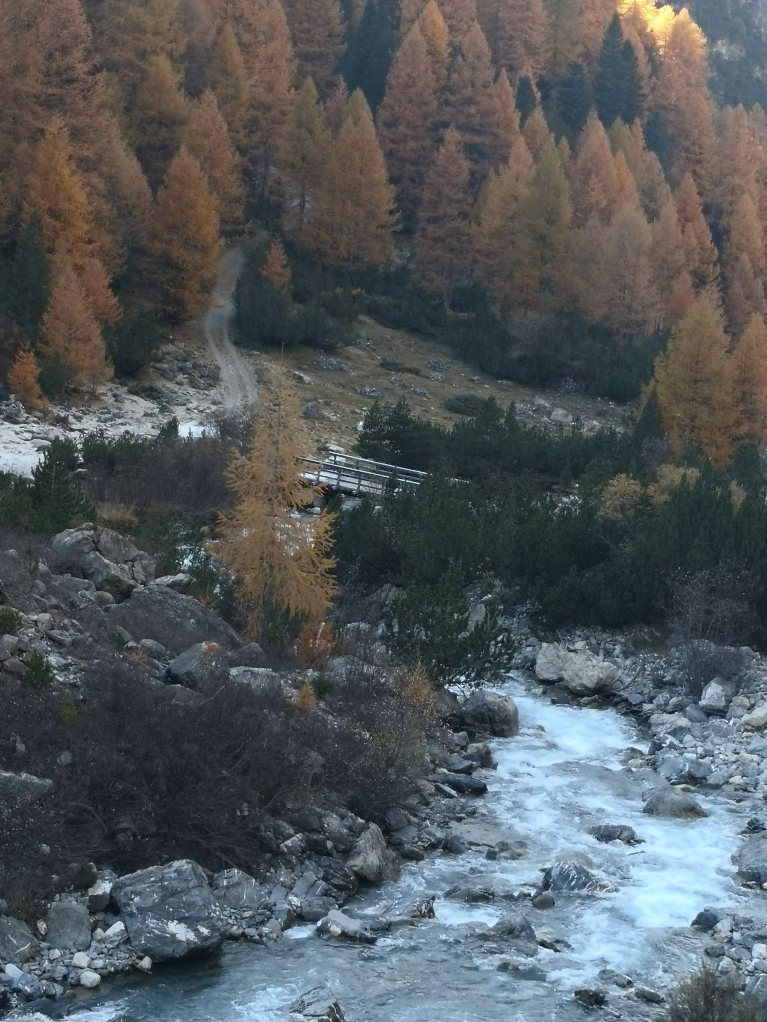
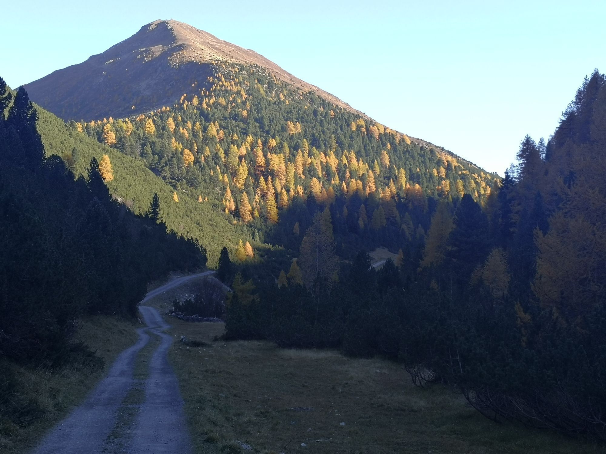
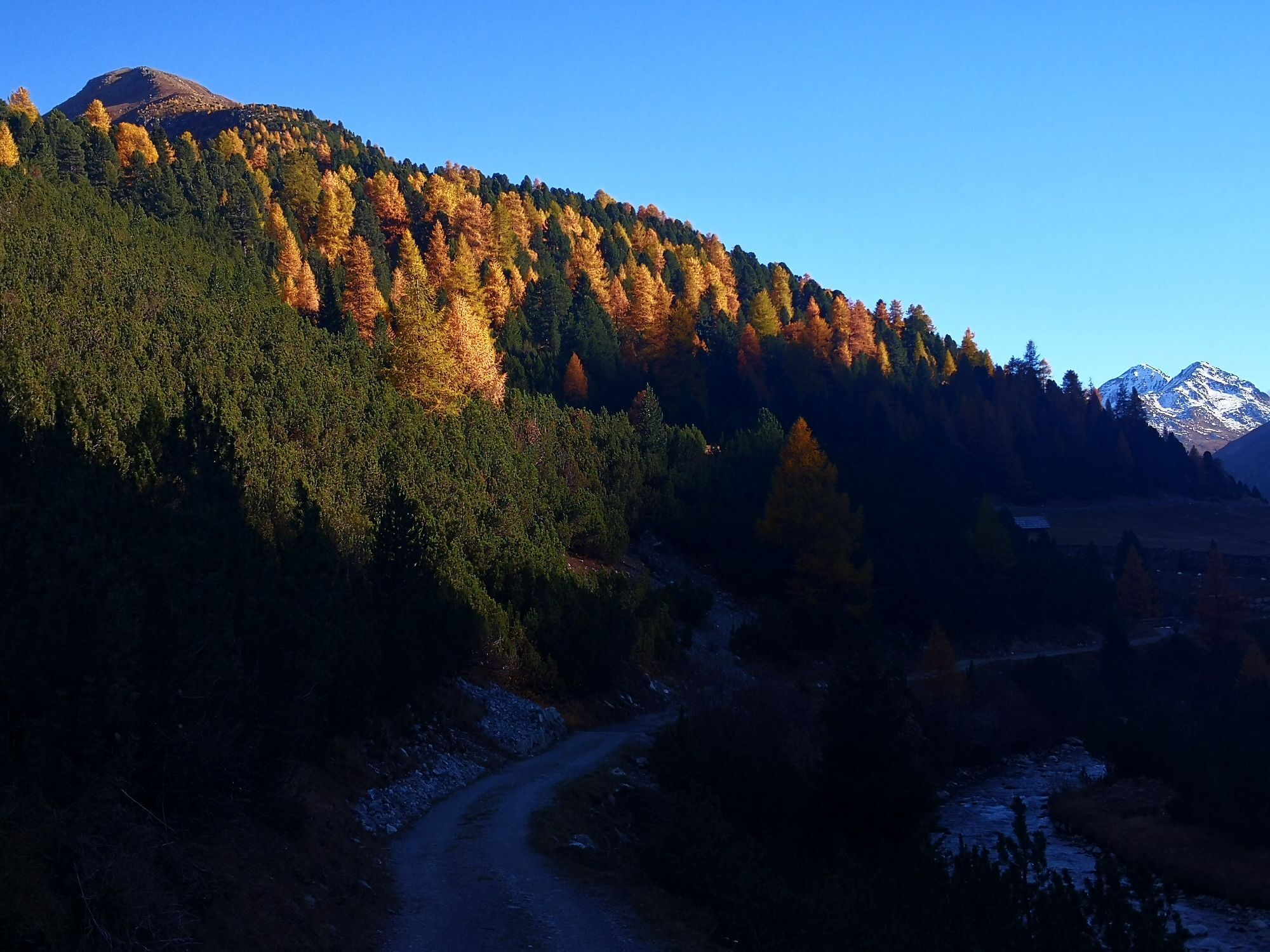
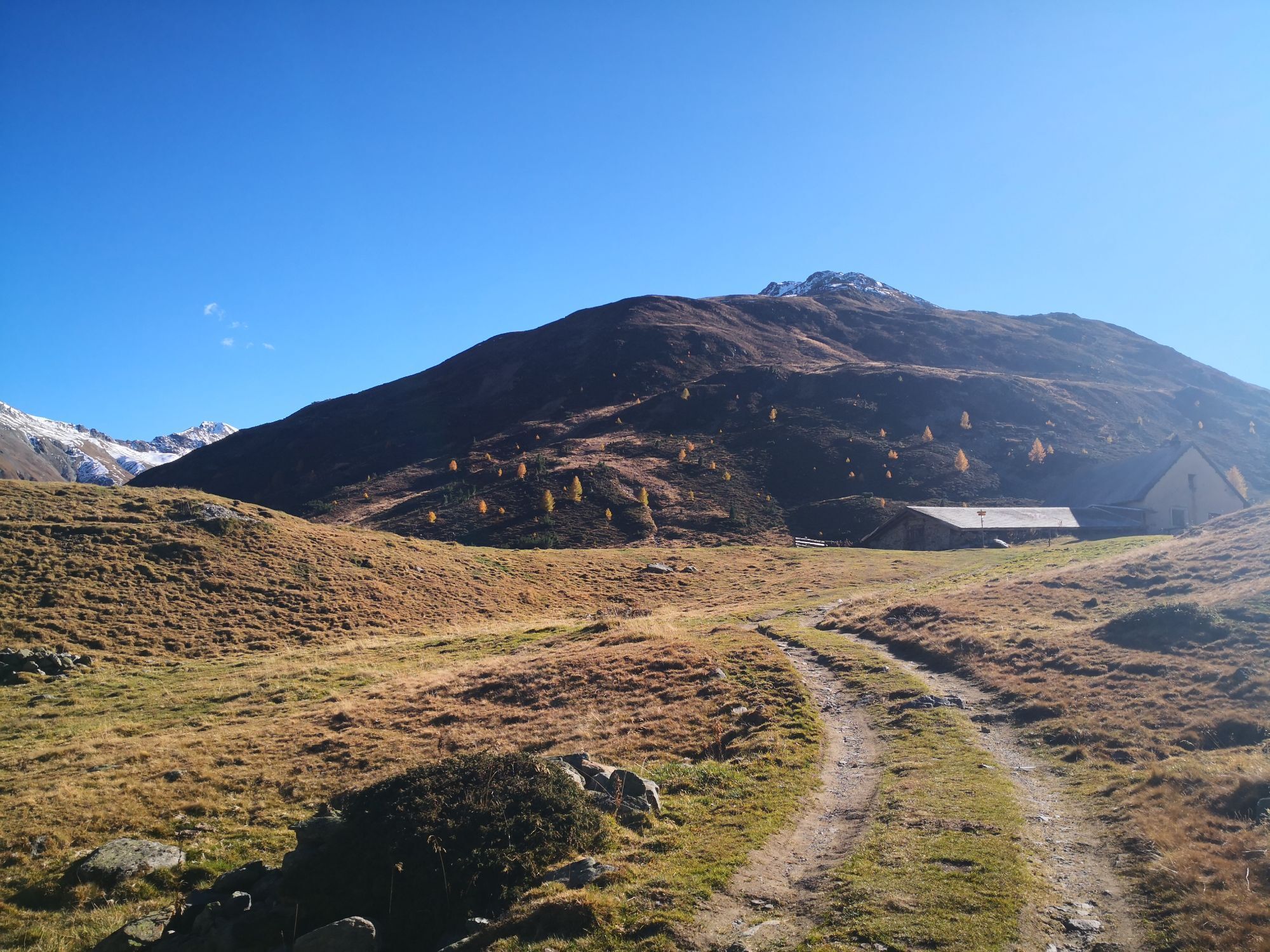
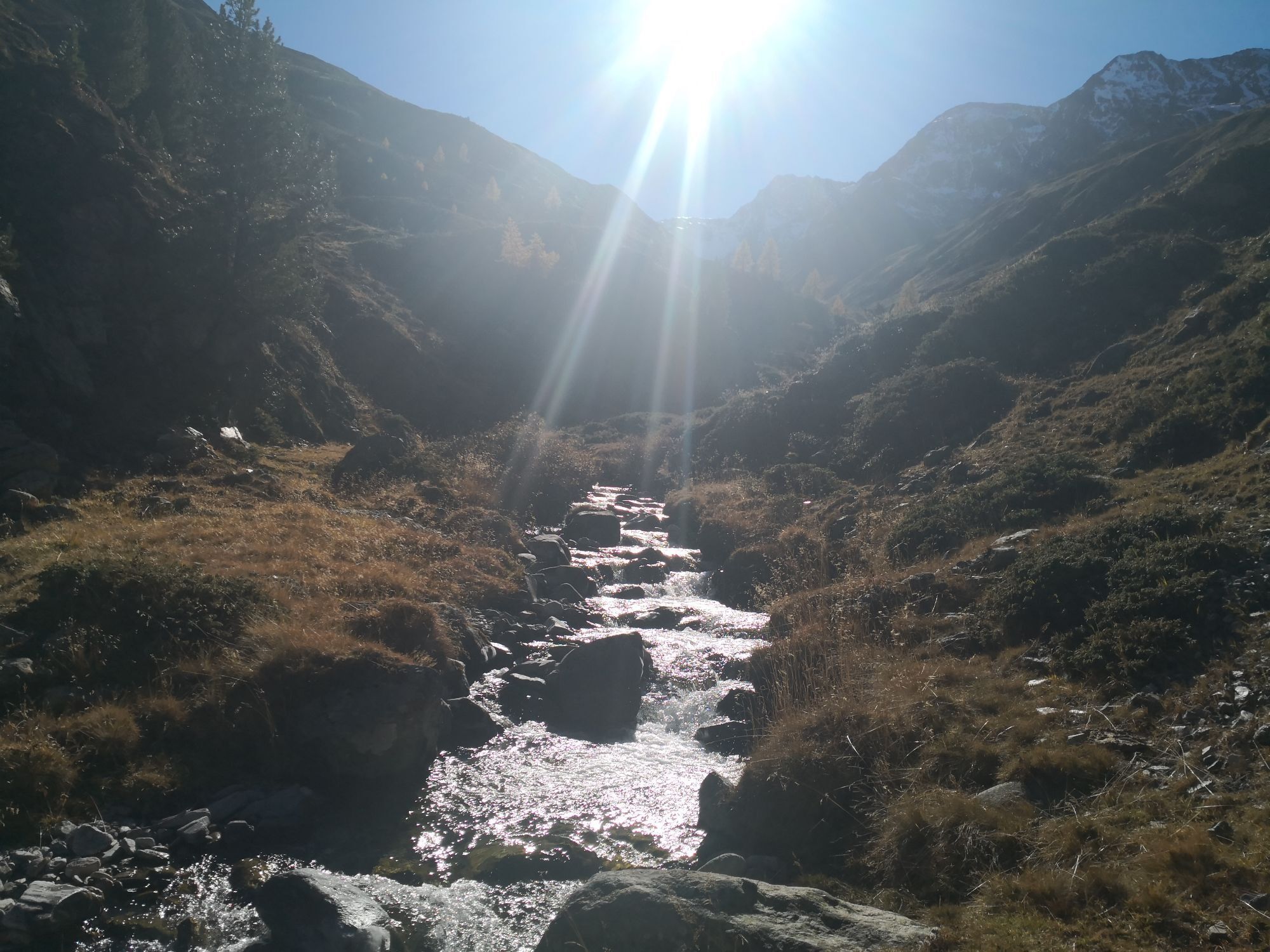
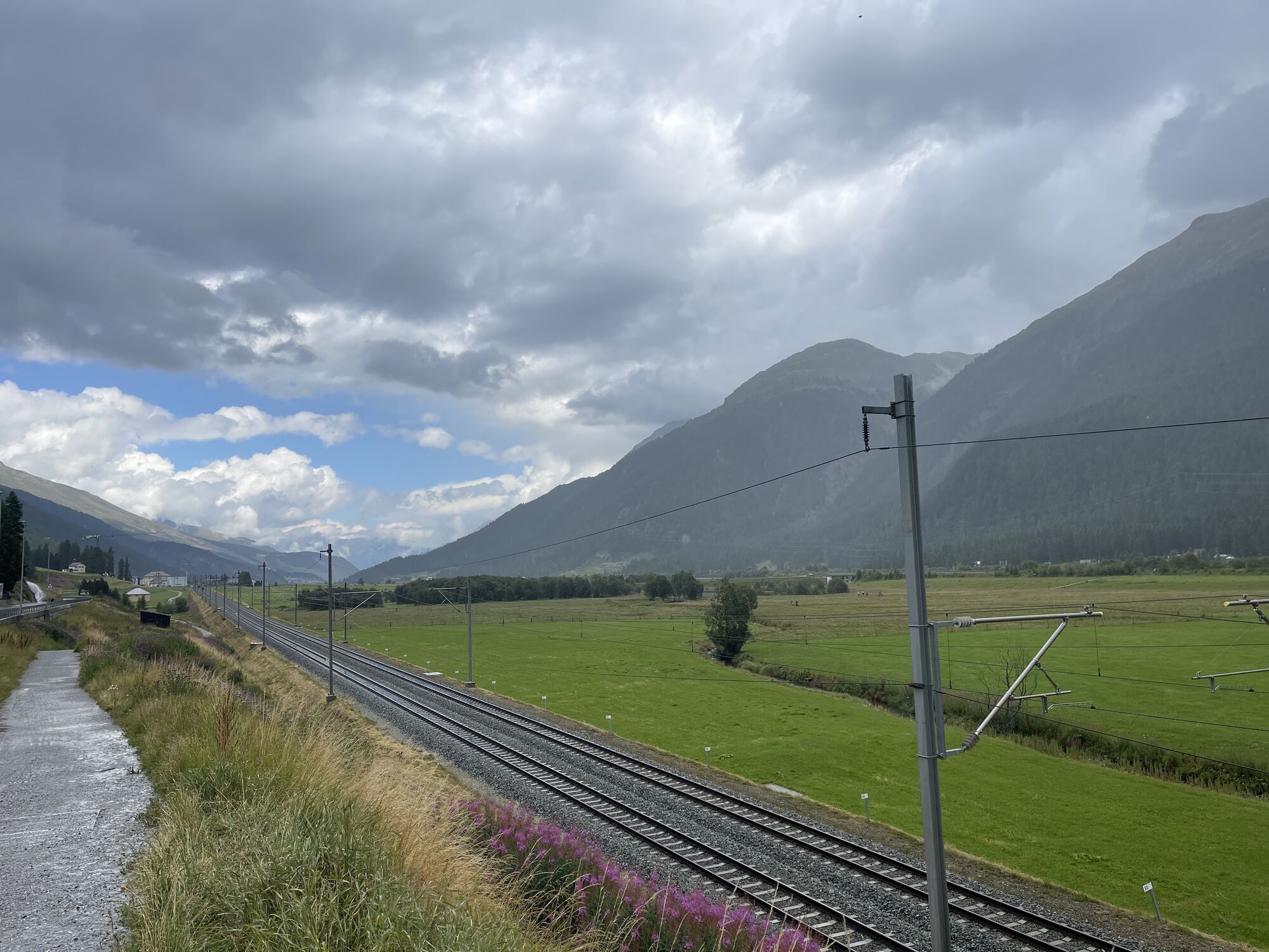
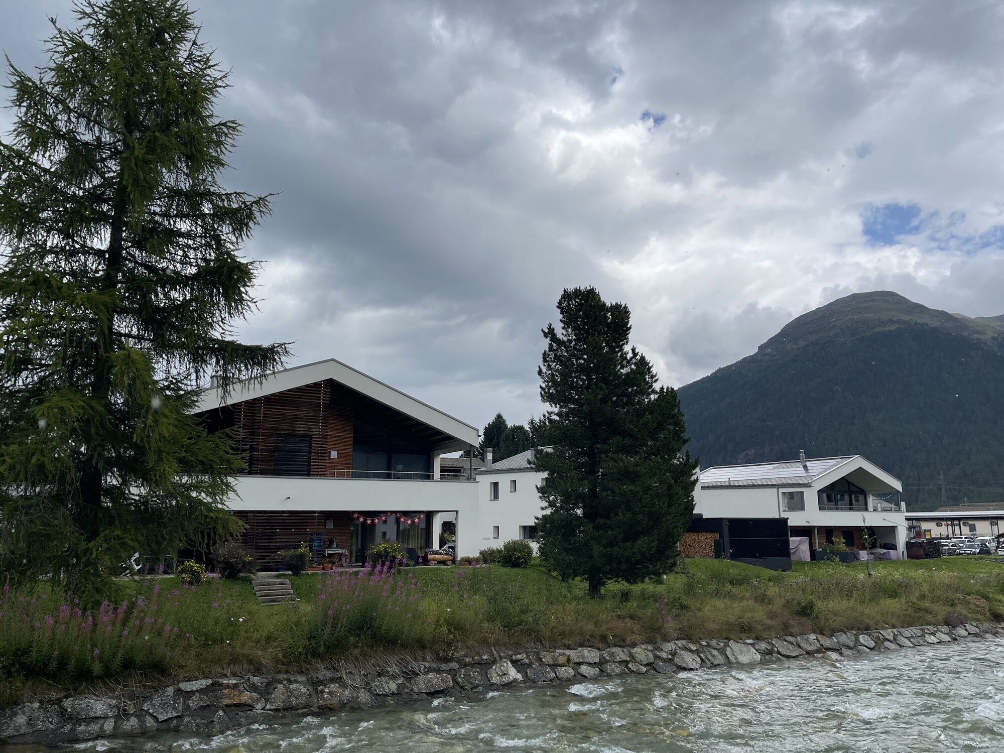
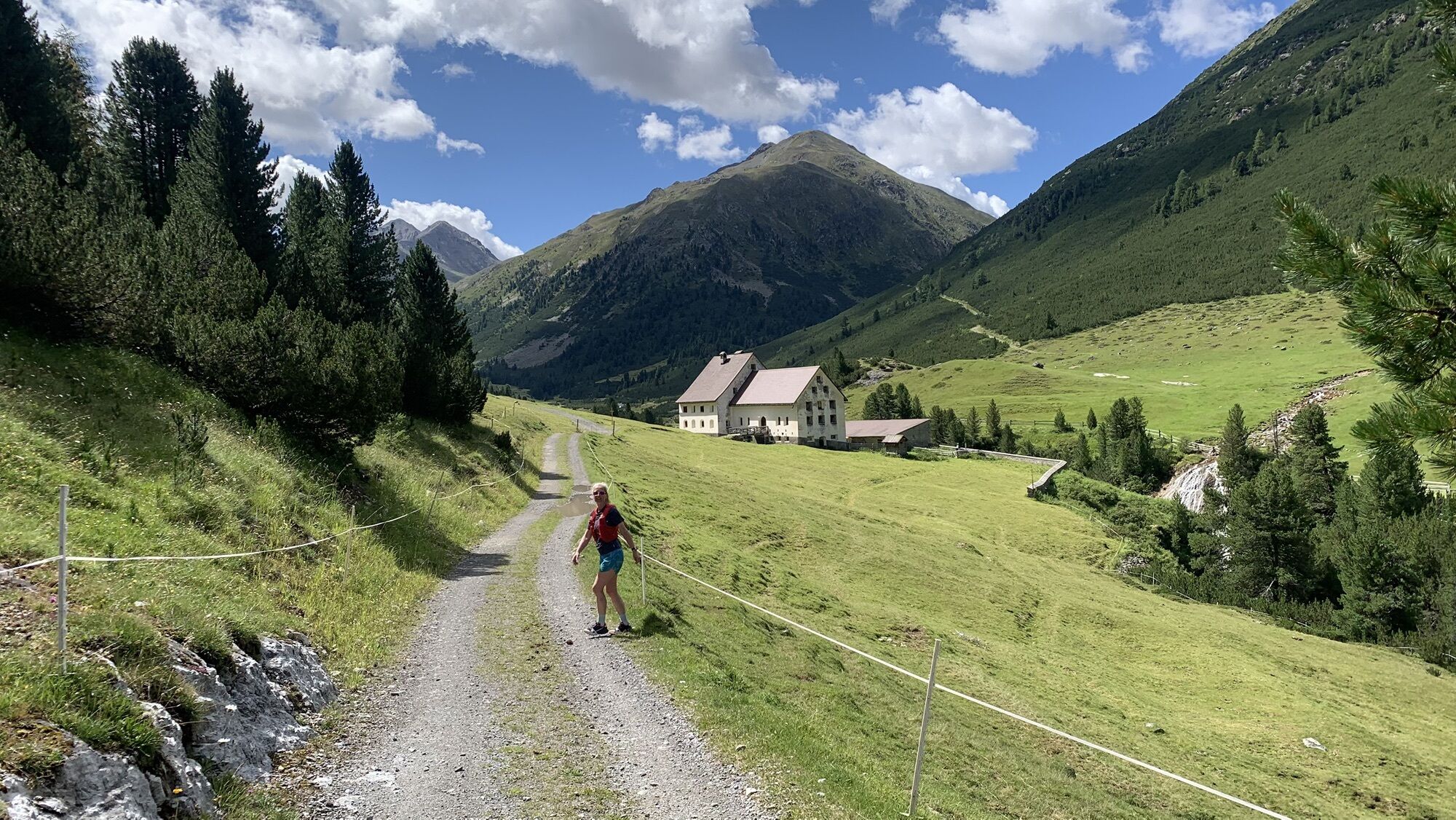
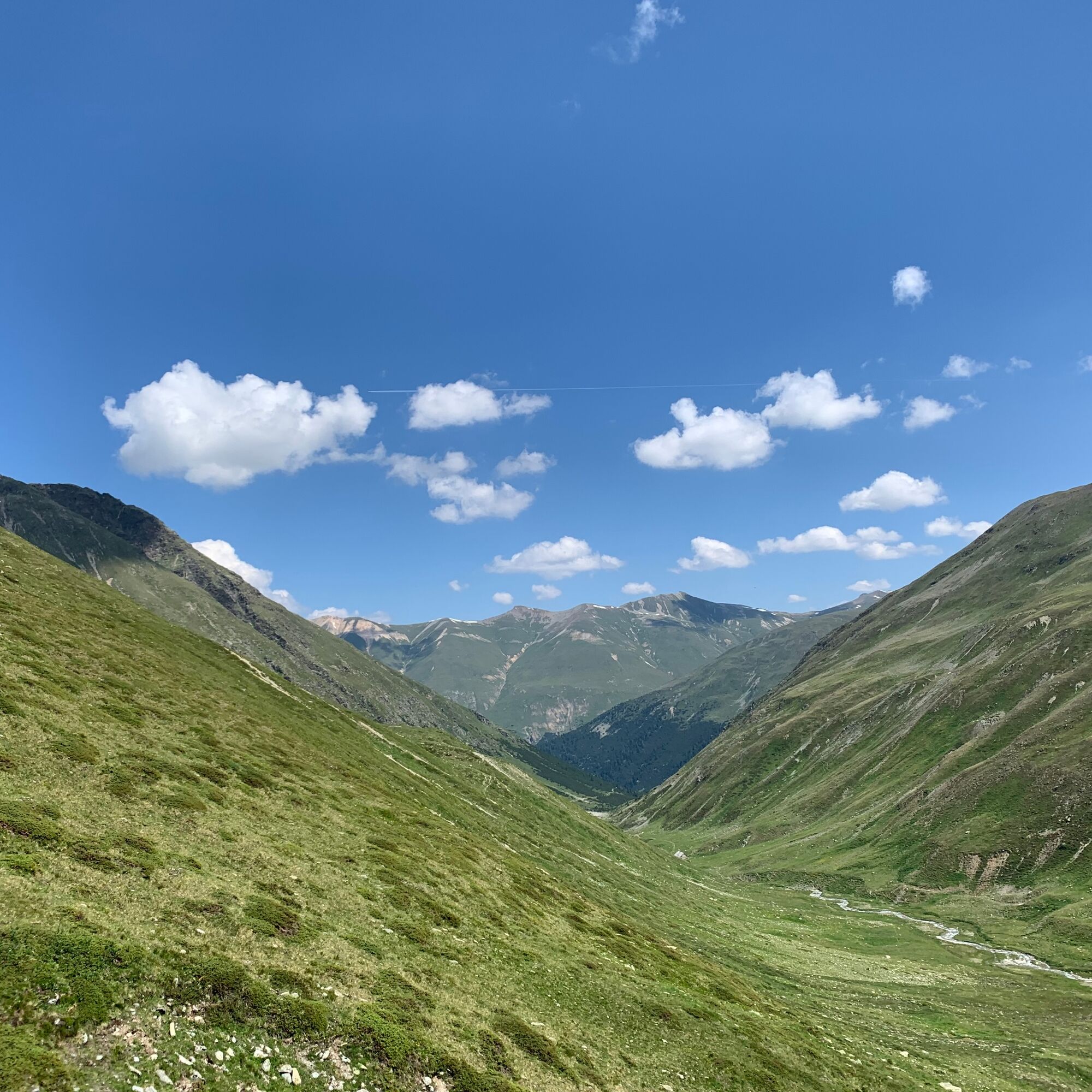
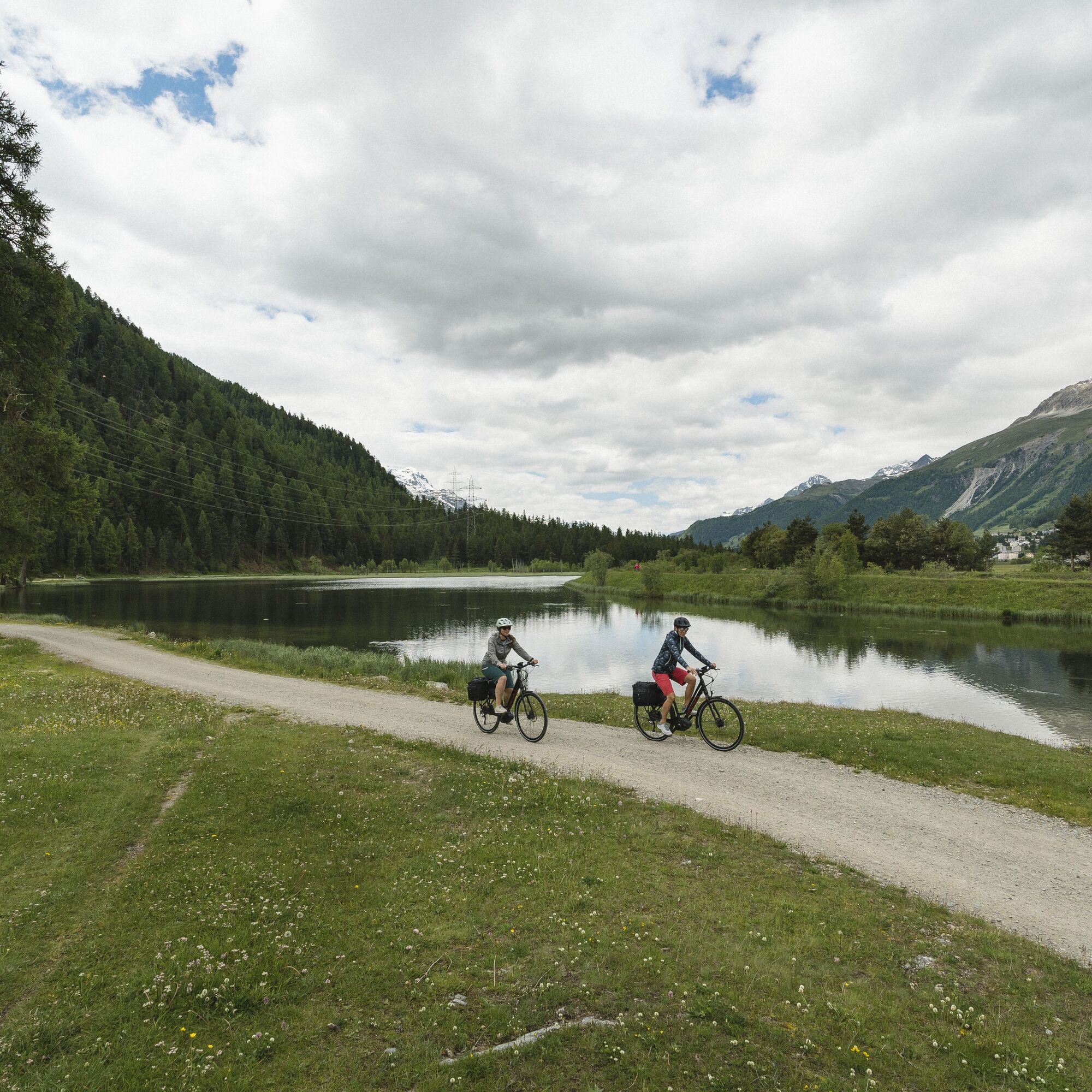
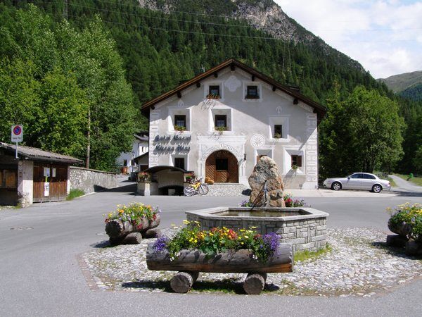
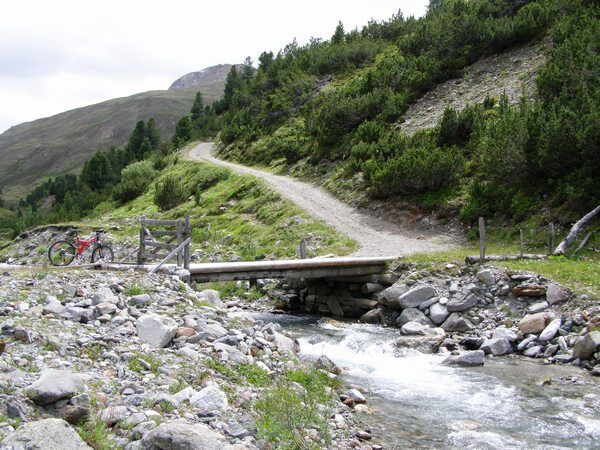
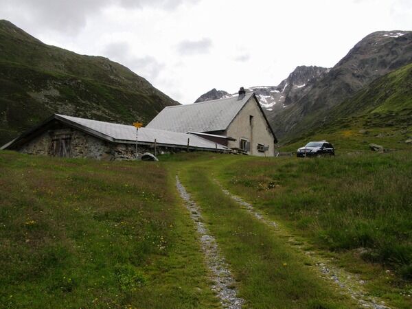
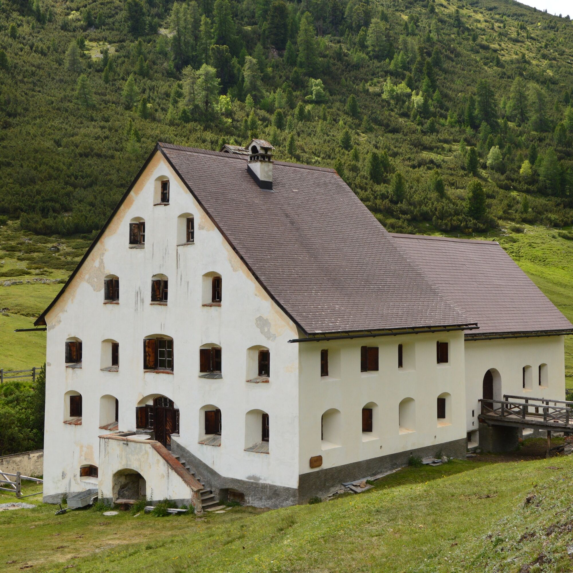
The starting point of this bike route is the Promulins Arena in Samedan. Via the main road overpass, you reach Lej Gravatscha, an idyllic mountain lake with barbecue areas. At the end of the lake, near Isellas, information boards provide details about the Innauen restoration project. The trail continues along the Inn to La Punt, where the path turns right into Val Chamuera, one of the last original side valleys of the Upper Engadin. The well-ridable natural road steadily ascends from the start, demanding strong muscle effort especially on steeper sections. The valley narrows into an impressive gorge and together with the towering mountains on all sides, it forms a breathtakingly wild backdrop. Suddenly, the old white packhorse house Serlas appears out of nowhere. Here, the valley splits and if you want to go further, you have the choice: either steeply up to Alp Prüna or a bit more leisurely along the Ova Chamuera to the challenging last section up to Alp Prünella. Return to Chamues-ch on the same trail. Passing through Chamues-ch you cross to the other side of the valley. Passing Arvins and on the old cantonal road, you reach the beautiful Engadin village Bever. At the end of Bever, the trail ascends a little before reaching Samedan.
Further information
Engadin St. Moritz Tourism AG
Via Maistra 1
CH-7500 St. Moritz
Phone: +41 81 830 00 01
Email: allegra@engadin.ch
Website: www.engadin.ch


Samedan - Lej Gravatscha - Isellas - La Punt - Alp Serlas - Alp Prünella - Alp Serlas - La Punt - Isellas - Lej Gravatscha - Samedan
In autumn and in the evening, the valley lies in the shadow and the descent to La Punt can be very cool.
Webové kamery z prehliadky
-
Corviglia
-
St. Moritz / Samedan - Muottas Muragl
-
Samedo - Engadin Golf
-
St. Moritz / Samedan - Muottas Muragl
-
Corviglia
-
Corviglia
-
Corviglia
-
Corviglia
-
Corviglia
-
Corviglia
-
Corviglia
-
Celerina - Cresta Palace
-
Zuoz
-
Celerina - Skiwiese Provuler
-
St. Moritz / Trais Fluors Bergstation
-
La Punt - Wasserreservoir
-
Samedan - Engadin Airport
-
Zuoz - Engadin Golf
-
Trais Fluors Bergstation
-
Trais Fluors Bergstation
-
Pontresina - Eiskletter-Schlucht
-
Pontresina - Hotel Saratz
Získajte prehľad
Vždy naživo na mieste s viac ako 9 500 webovými kamerami. bergfex Ako používateľ Pro si teraz môžete pozrieť príslušné webové kamery pre mnohé zájazdy v aplikácii zájazdy z. Môžete si tak priamo prezerať aktuálne podmienky.
Obľúbené výlety v okolí
-
4,6
Diavolezza - Munt Pers
svetloHorská turistika 3,82 km -
5,0
Morteratsch station - Boval Hut
strednáTuristika 10,5 km -
4,9
Circular hike Val Trupchun in the Swiss National Park
strednáTuristika 13,8 km -
4,7
Panoramic route Muottas Muragl
svetloTuristika 6,75 km -
5,0
Muottas Muragl - Segantini hut - Pontresina
strednáTuristika 6,46 km -
4,5
Pontresina - Val Roseg - Pontresina
svetloTuristika 13,8 km -
4,8
Around Lake St. Moritz
svetloTuristika 4,32 km -
4,7
Morteratsch Glacier route
svetloTematická trasa 2,88 km -
4,8
Alp Languard - Segantini Hut - Muottas Muragl
strednáTrailrunning 6,45 km -
Muottas Muragl - Segantini Hütte - Pontresina
strednáTuristika 17,5 km

Turistika a stopovanie


Nenechajte si ujsť ponuky a inšpiráciu na ďalšiu dovolenku
Vaša e-mailová adresa bol pridaný do poštového zoznamu.





