






Motta Naluns – Alp Laret – Val Tasna – Scuol

Úroveň náročnosti: S3
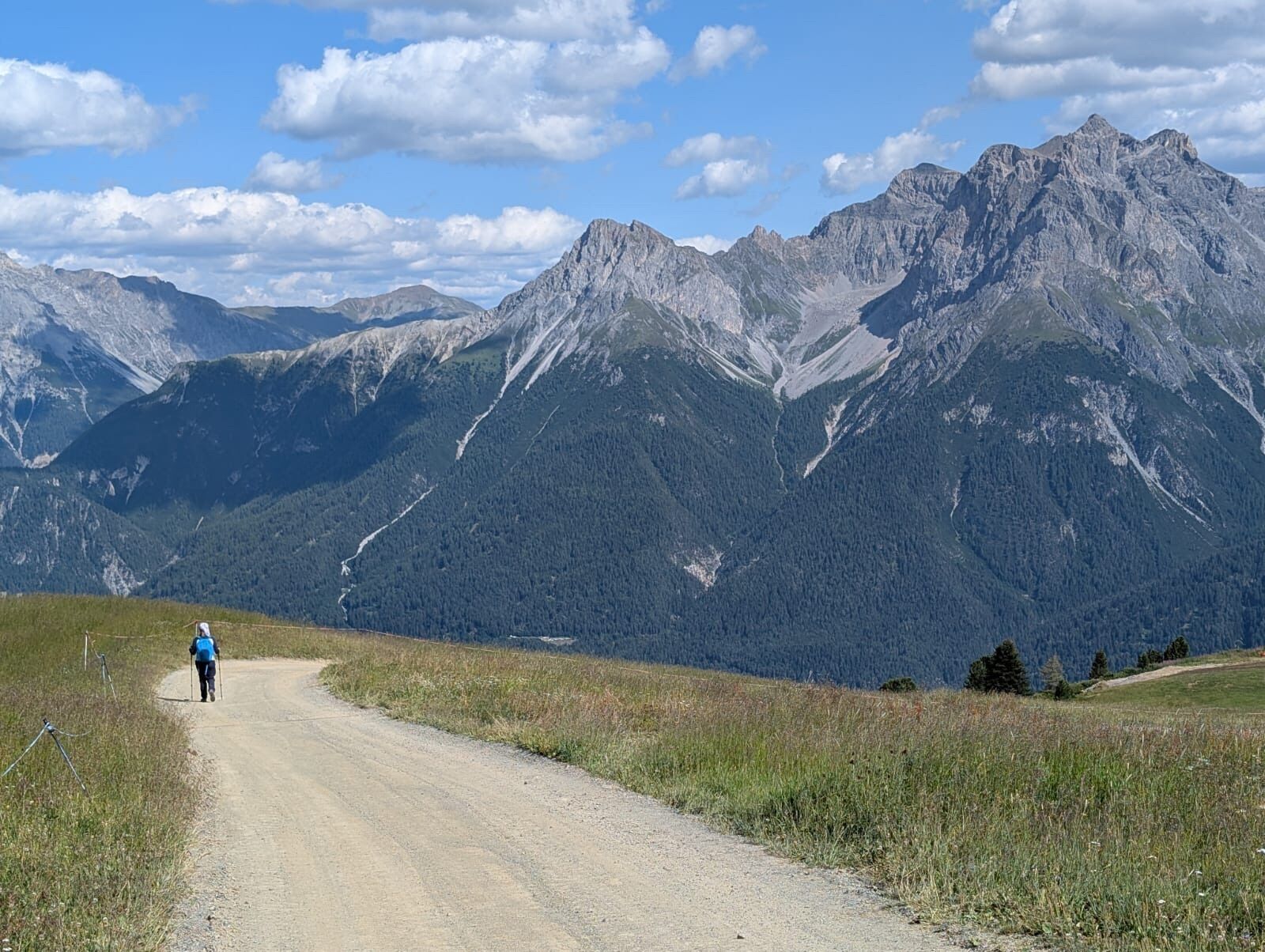
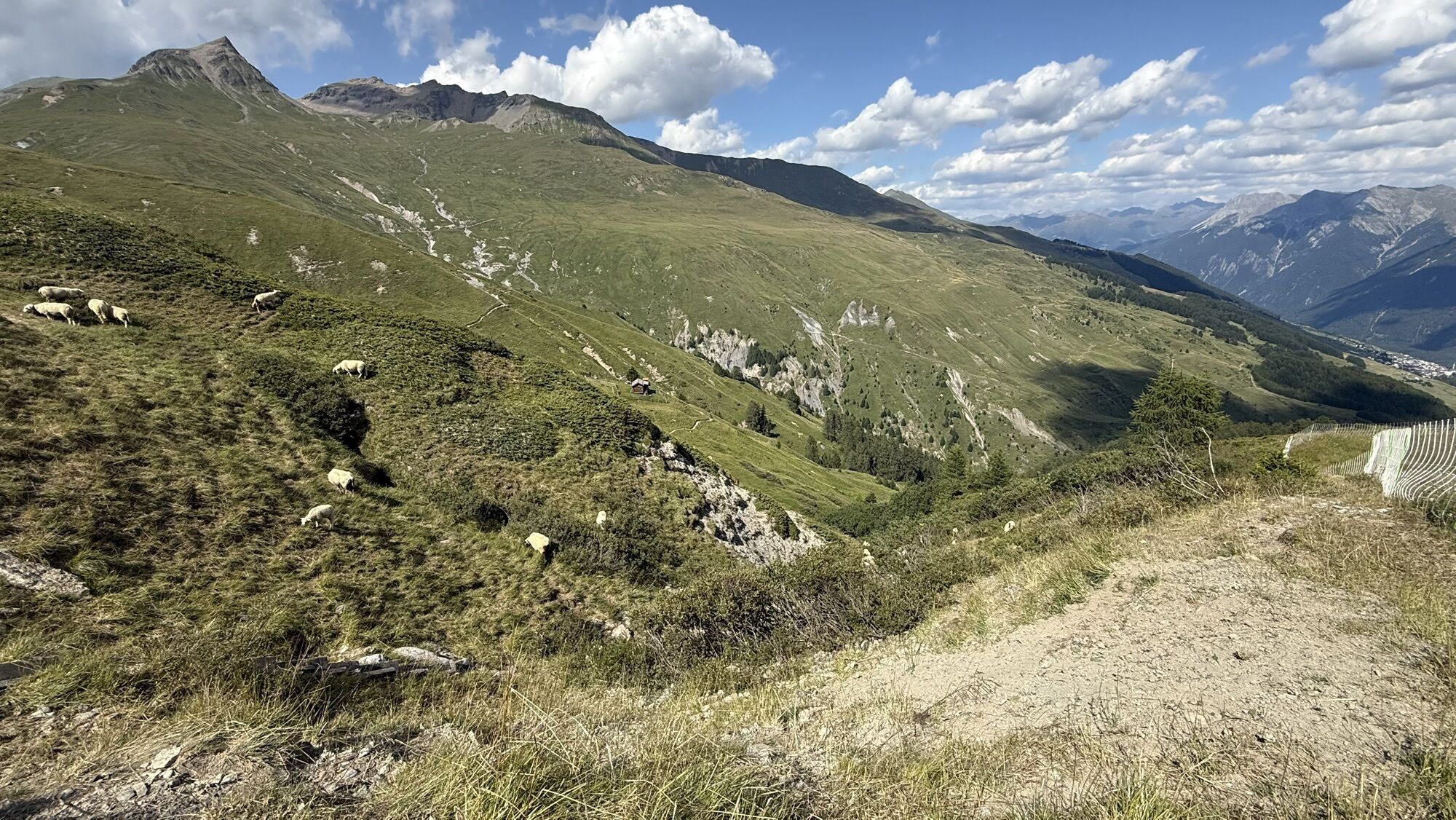
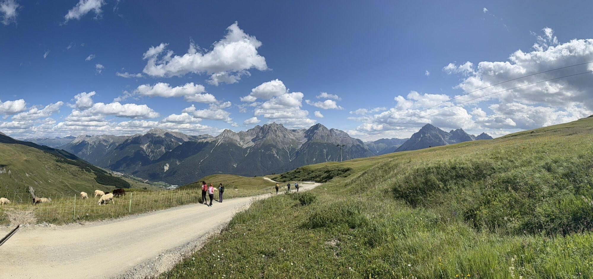
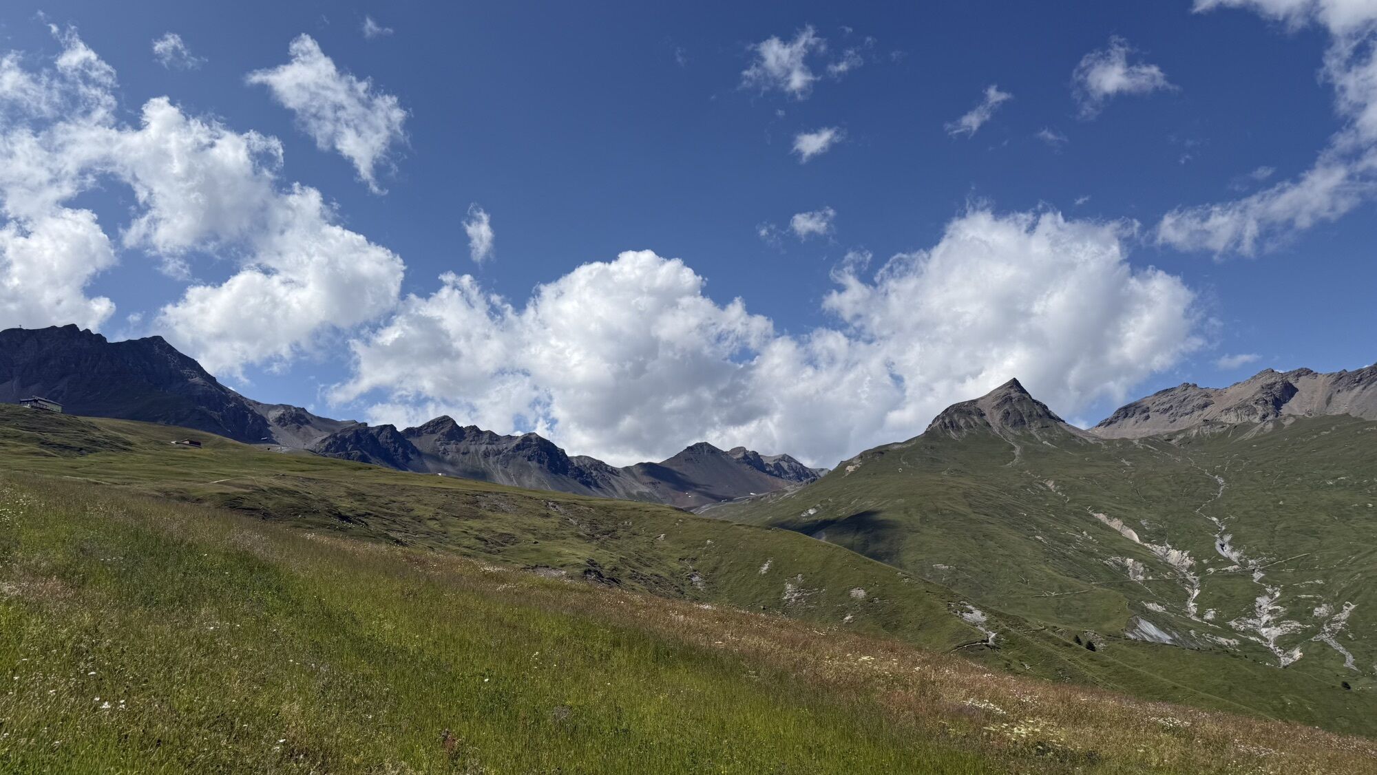
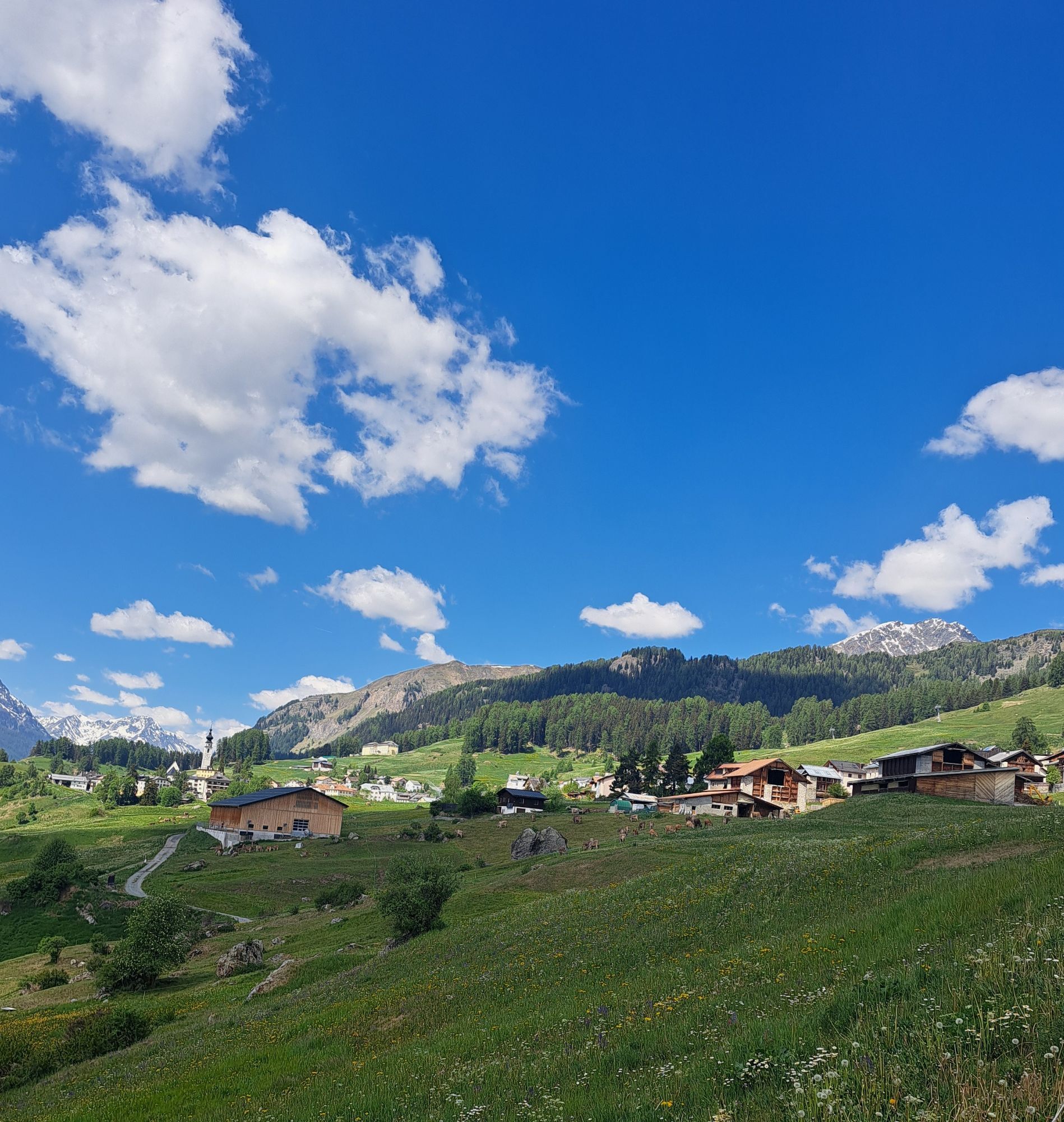
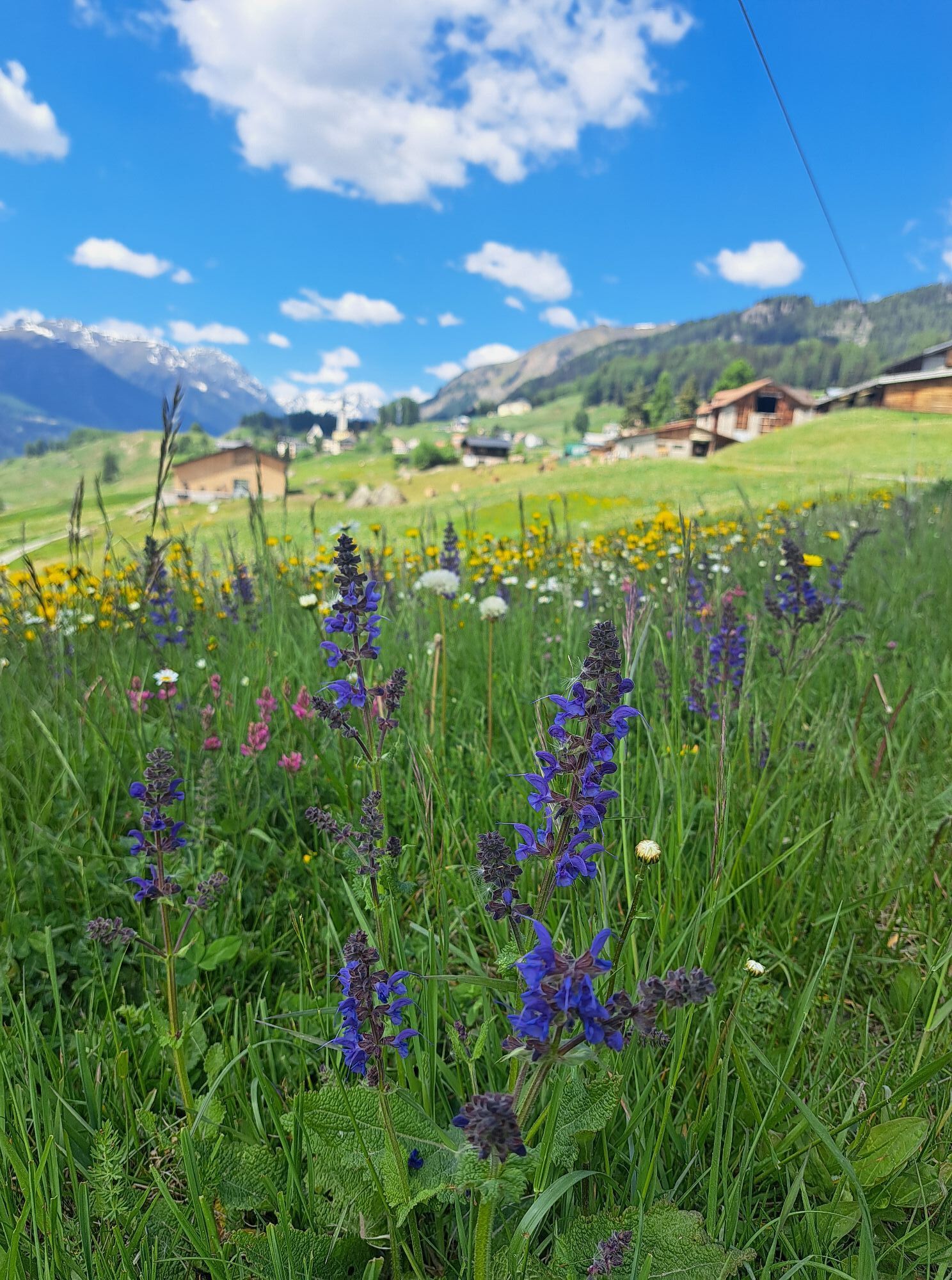
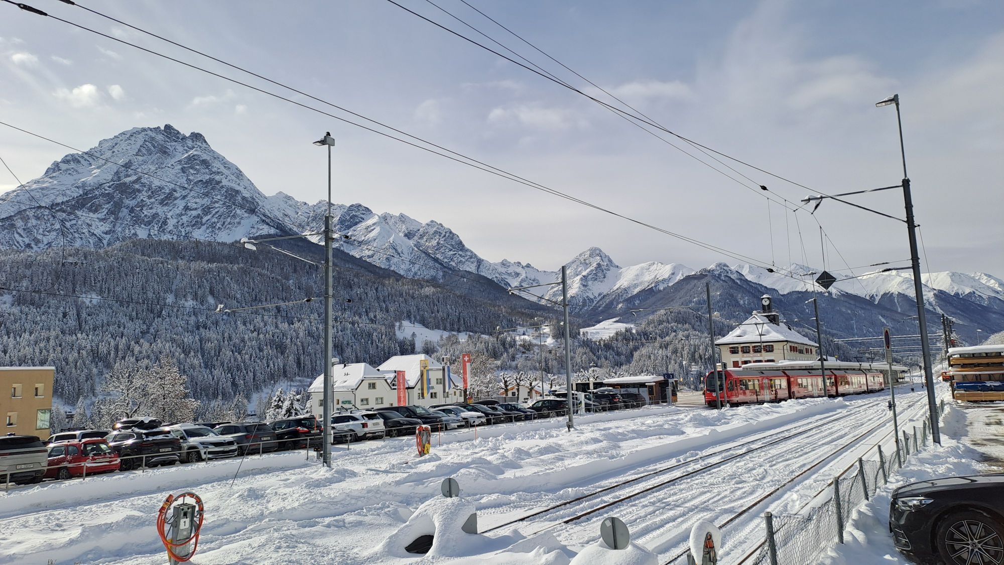
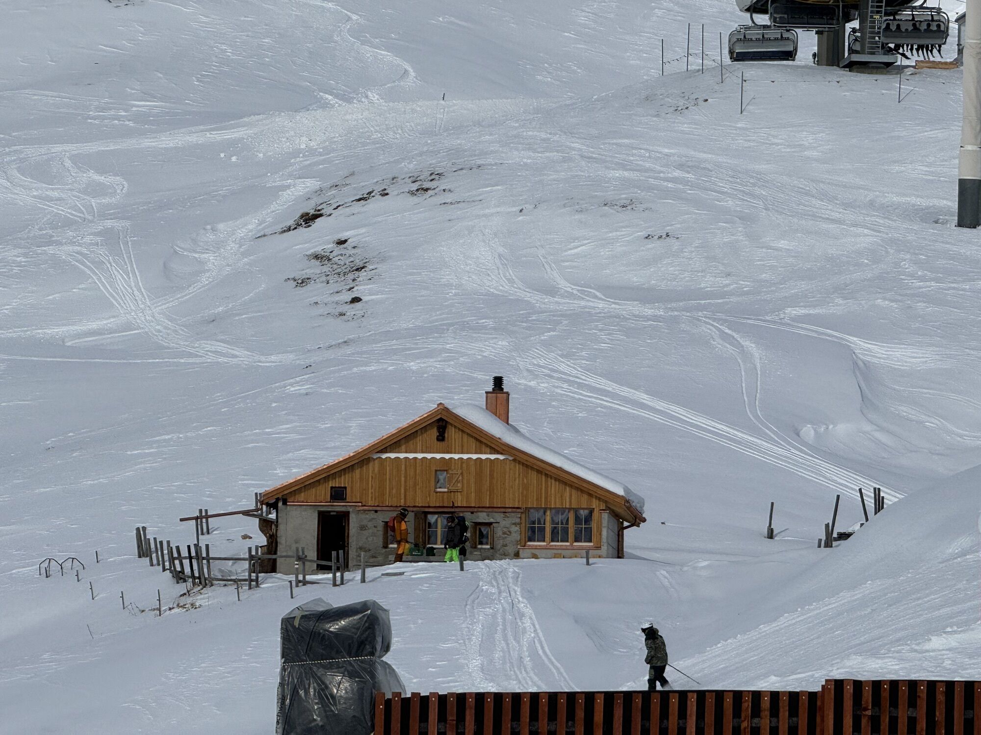
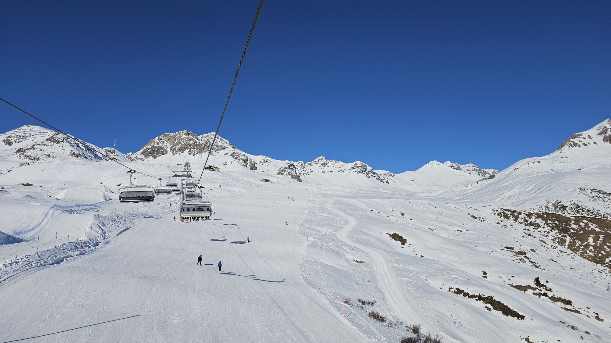
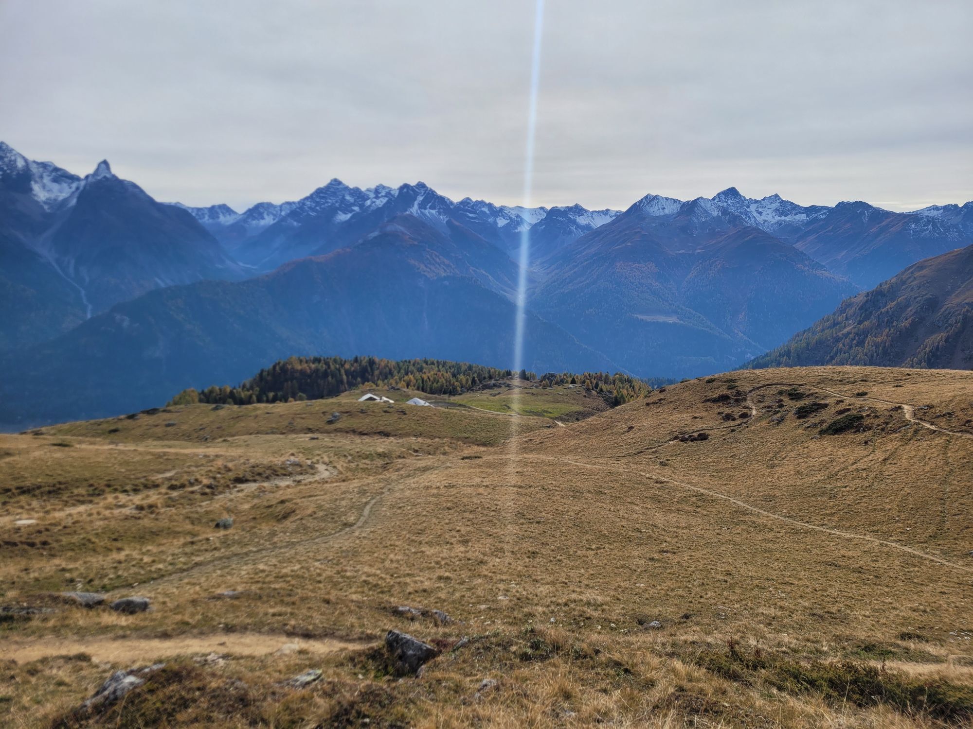
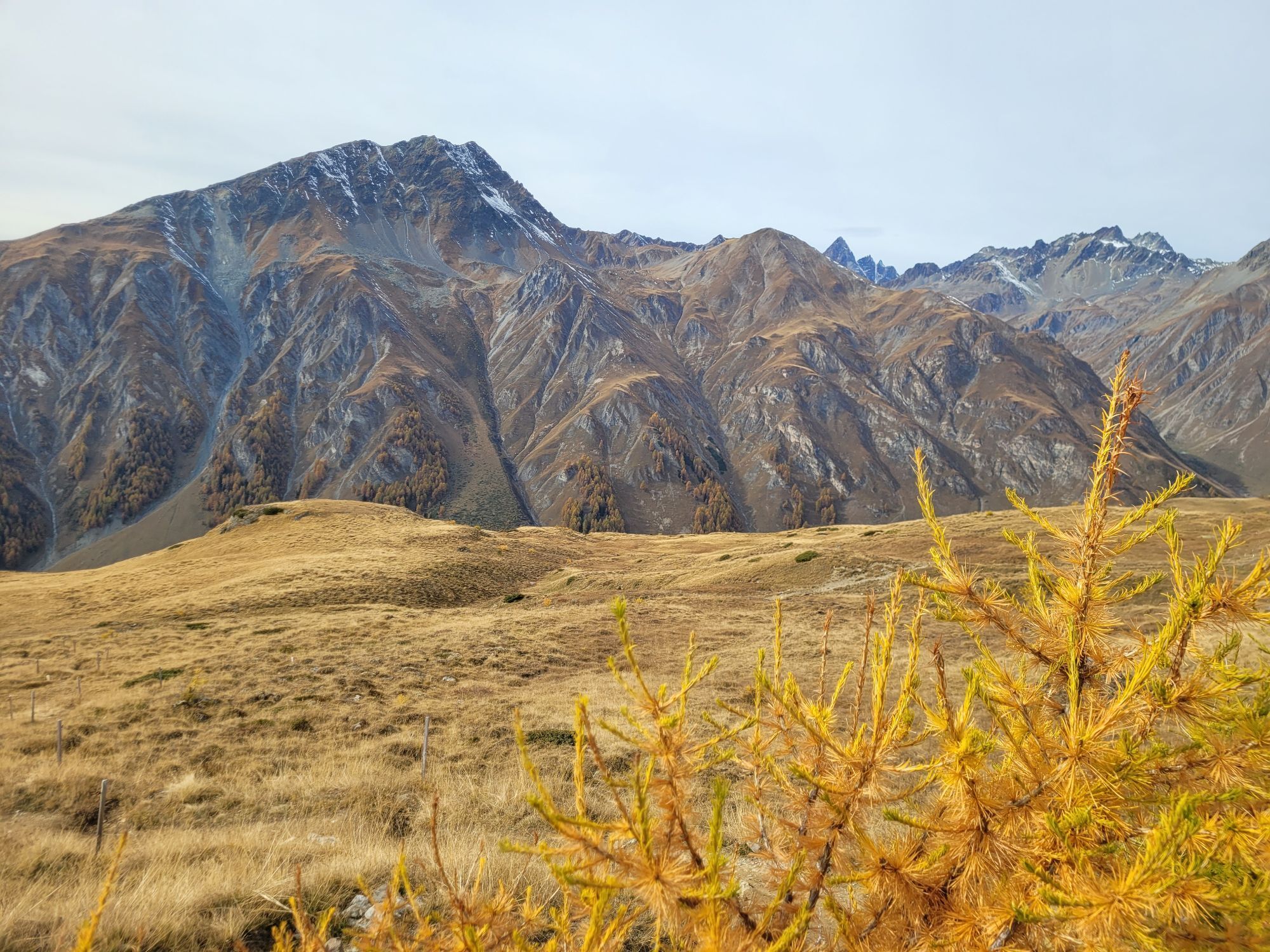
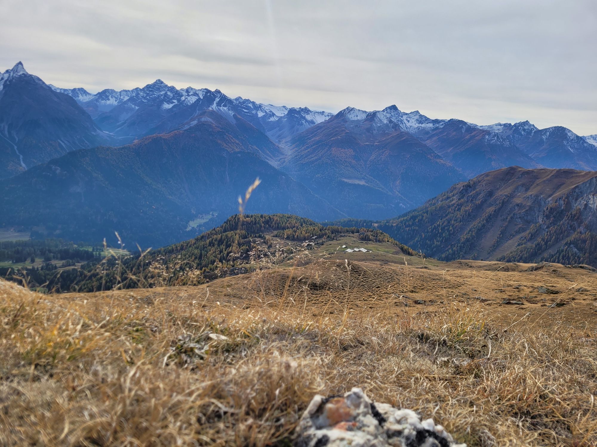
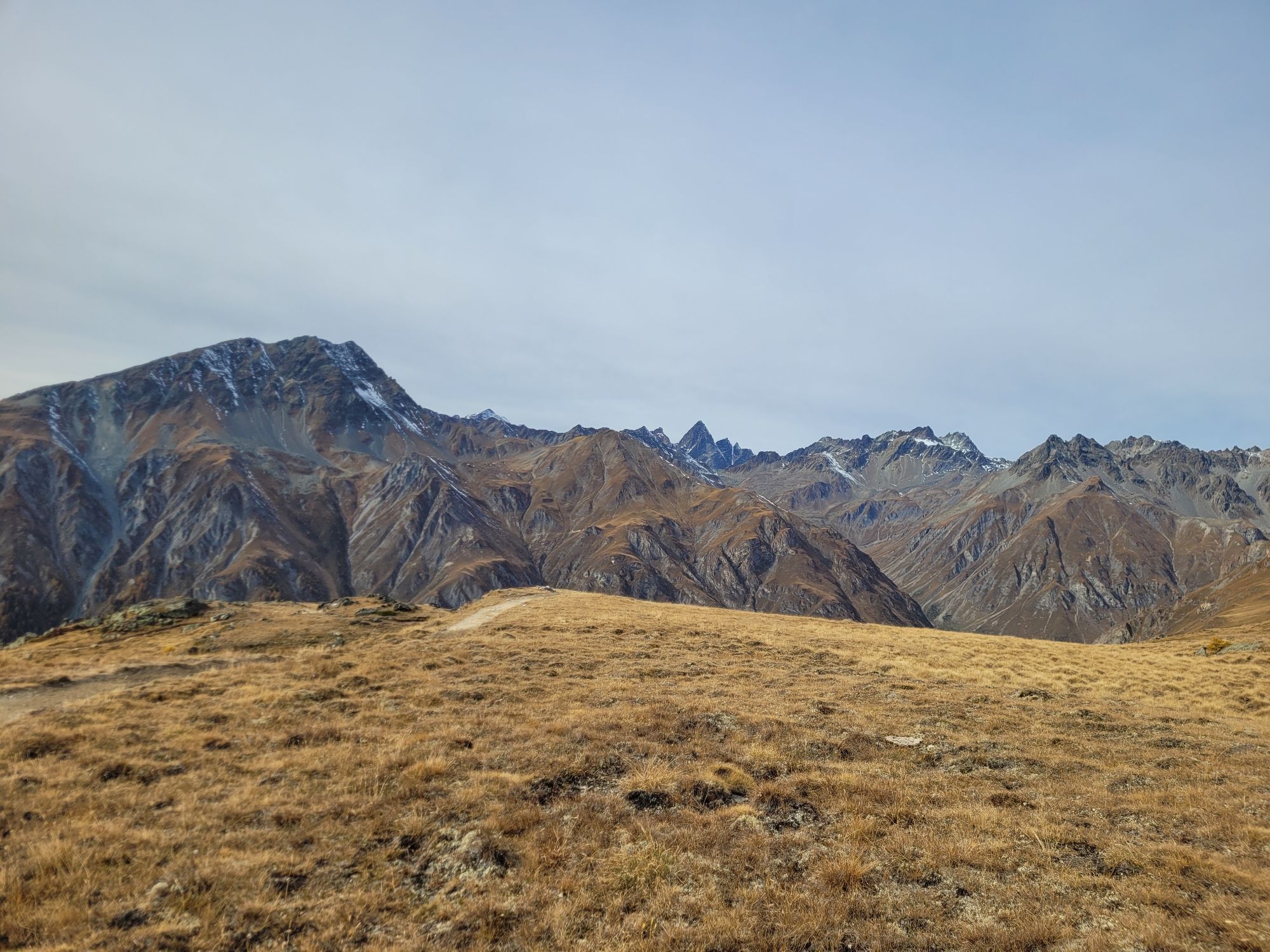
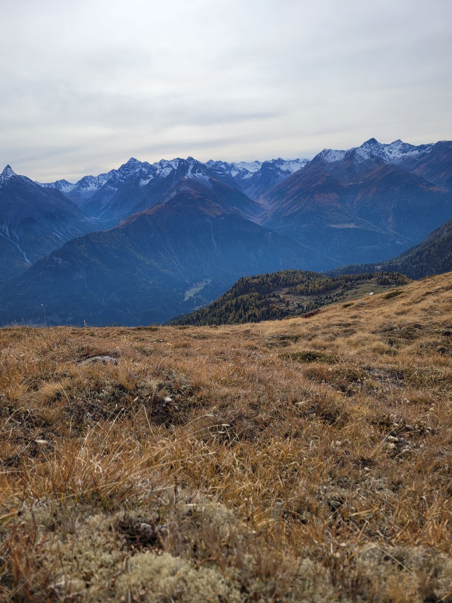
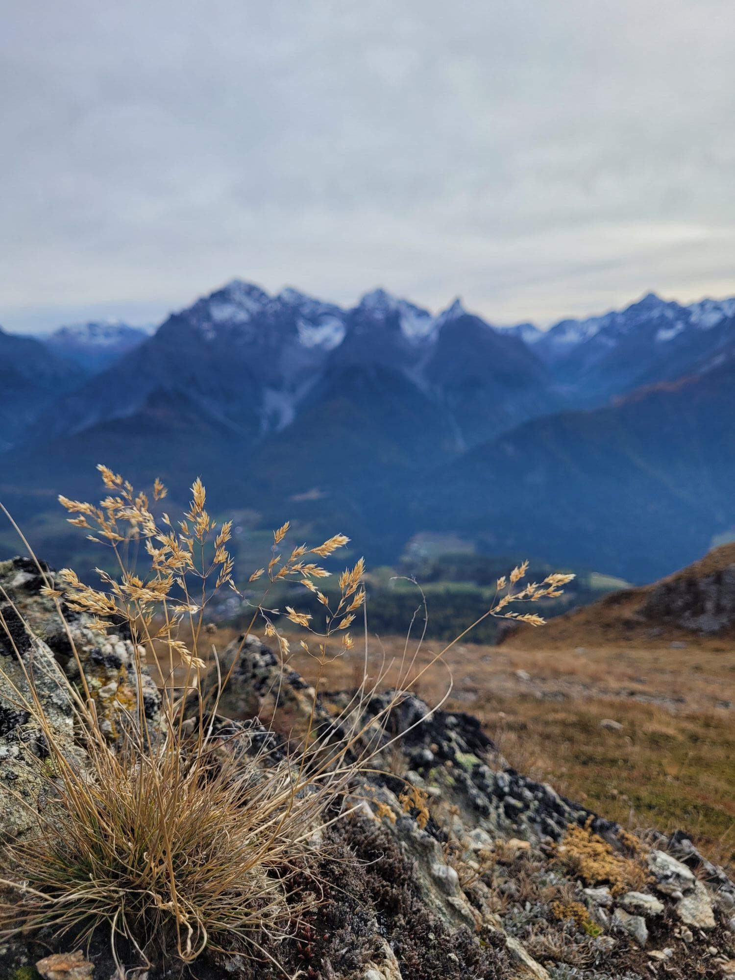
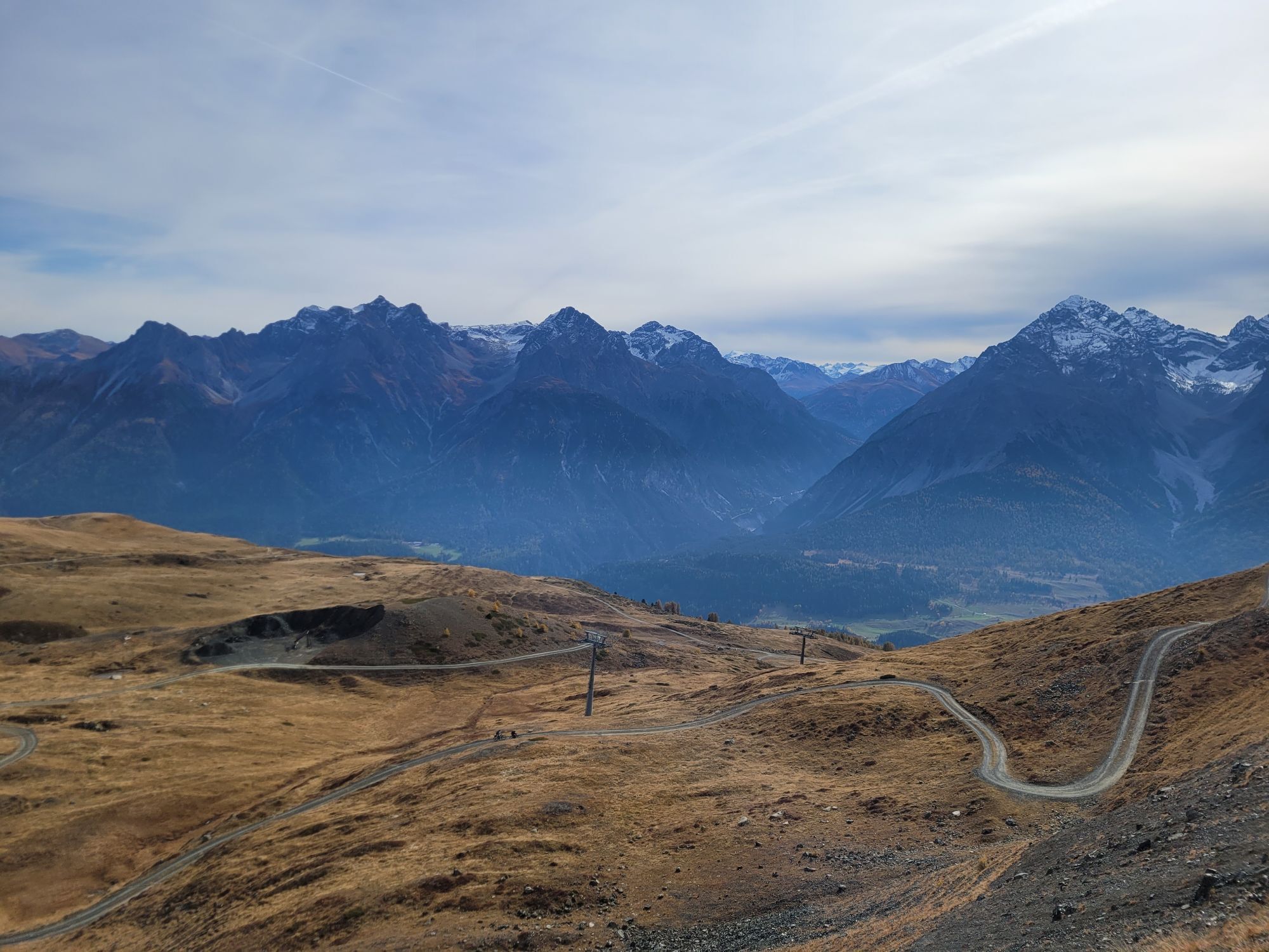
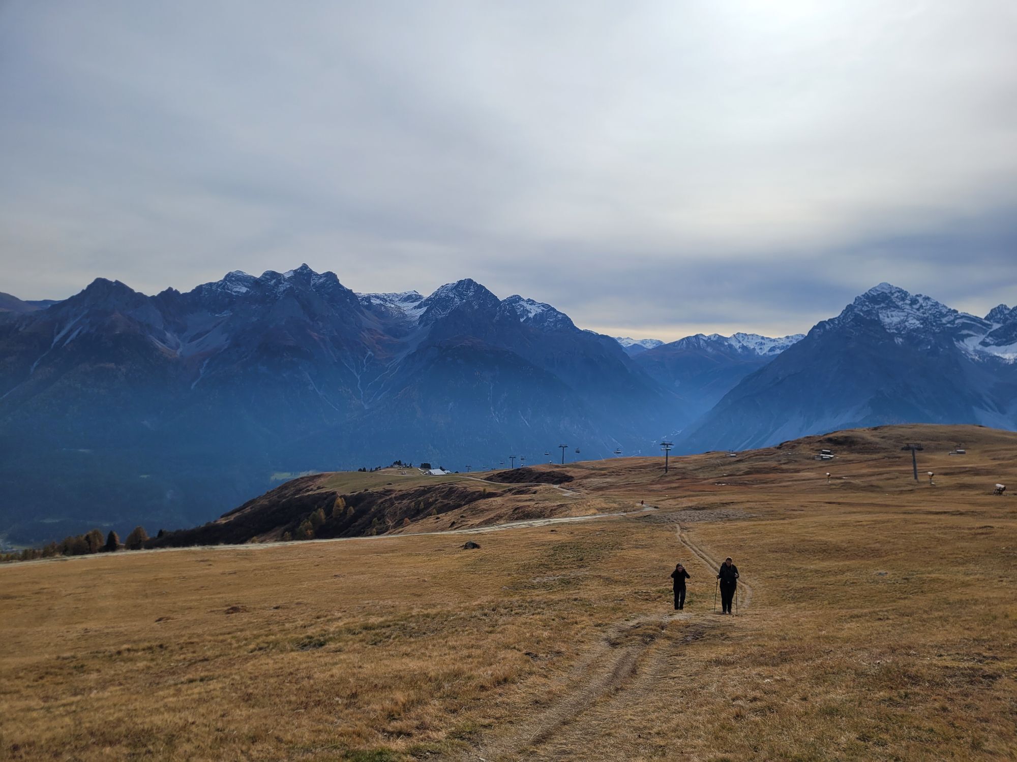
As soon as you arrive at the mountain, the first climb on the Clünas traverse to the reservoir lake towards Chamanna Naluns and Alp Clünas awaits you. After reaching the highest point at 2510 m above sea...
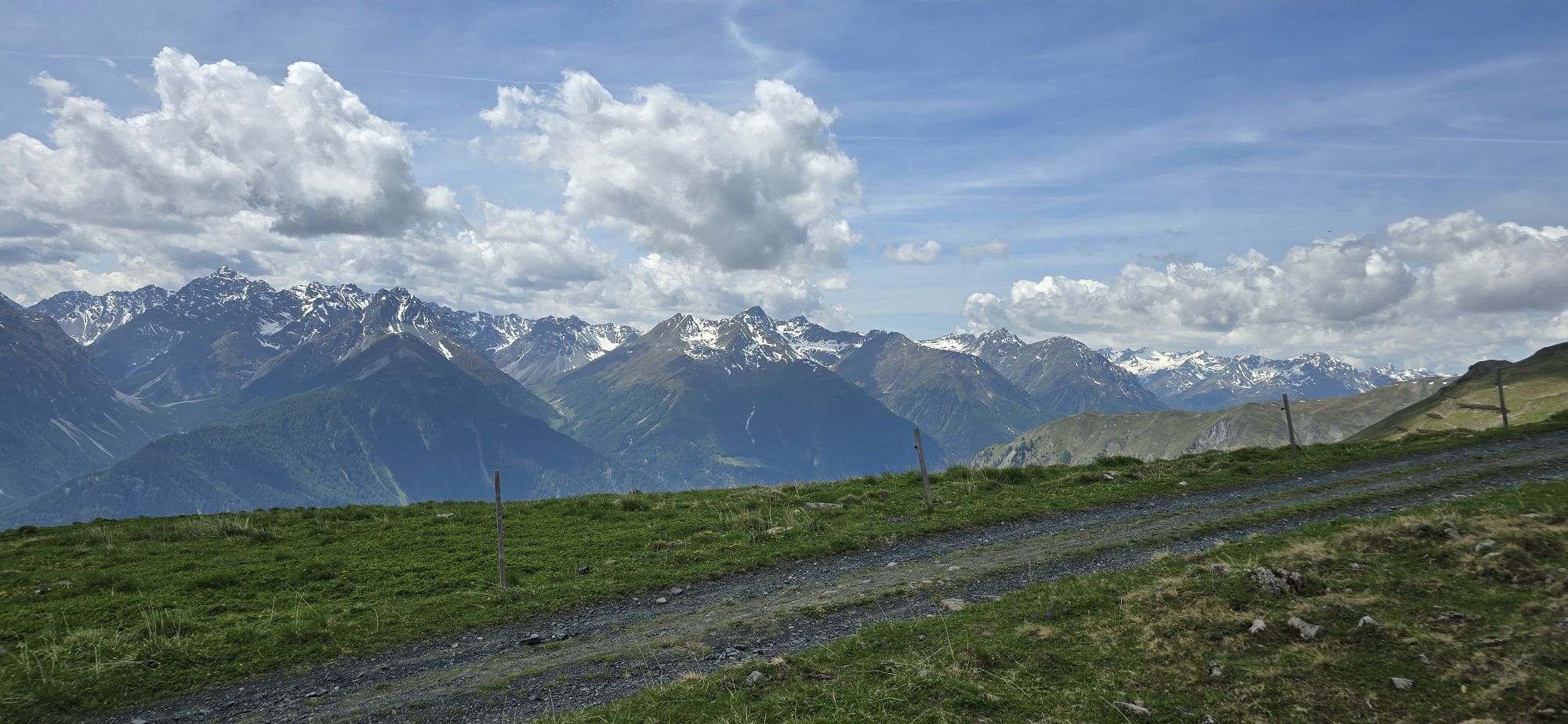
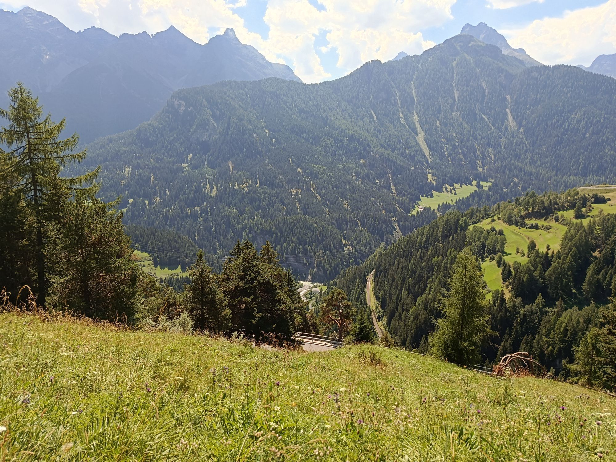
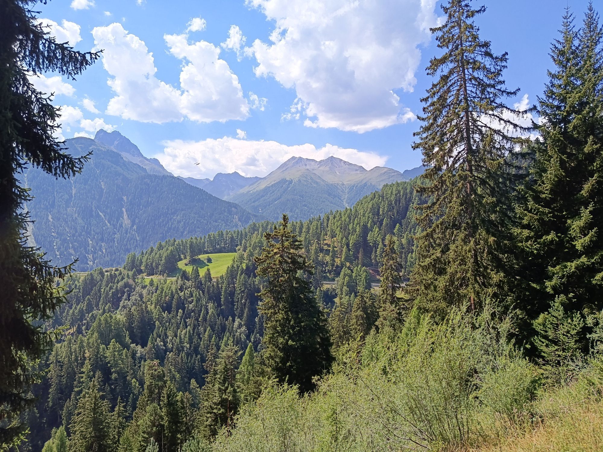
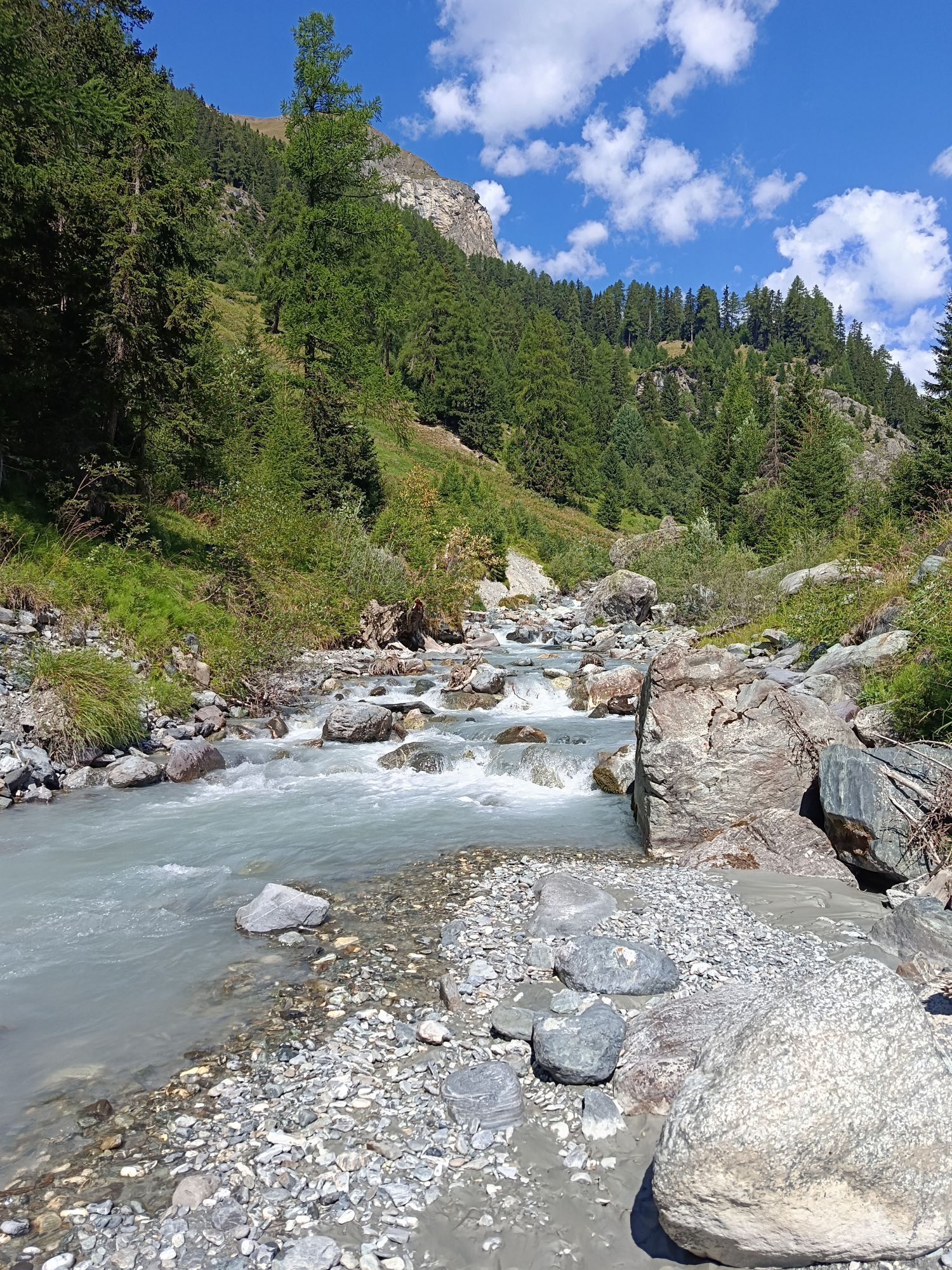
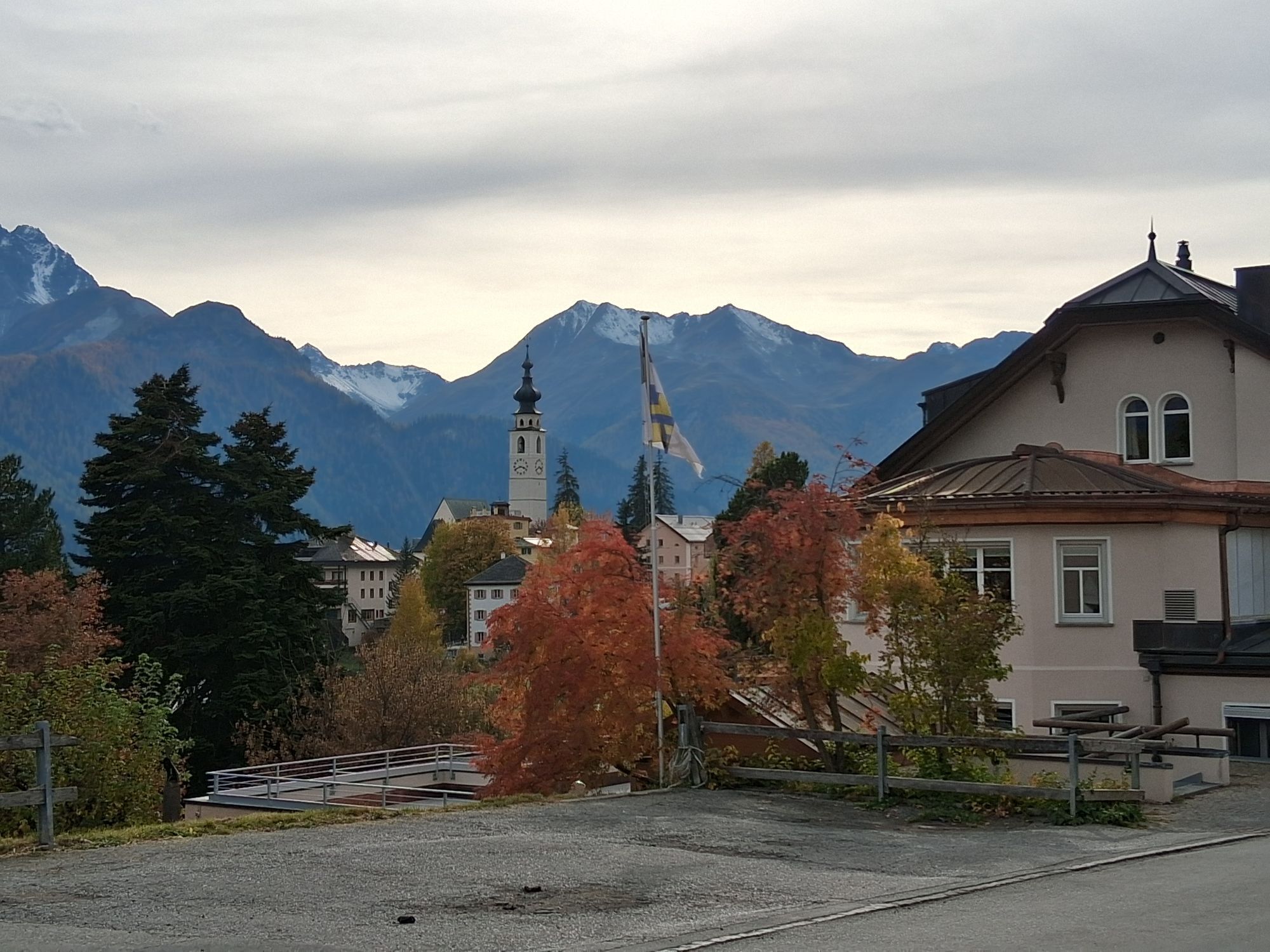
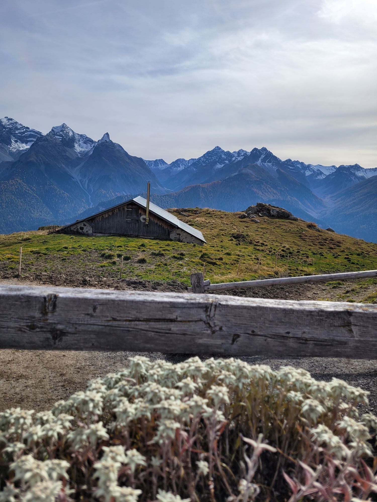
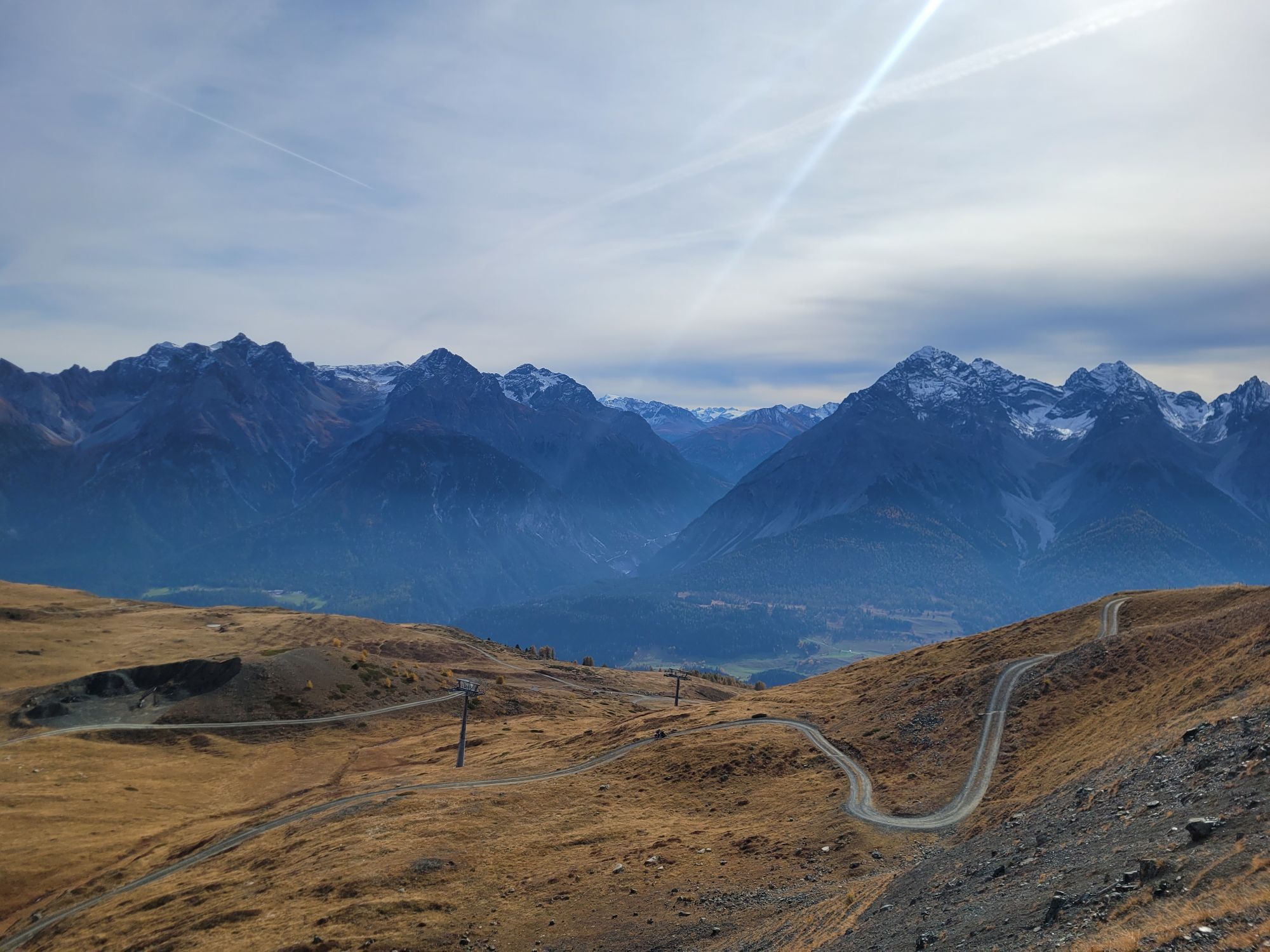
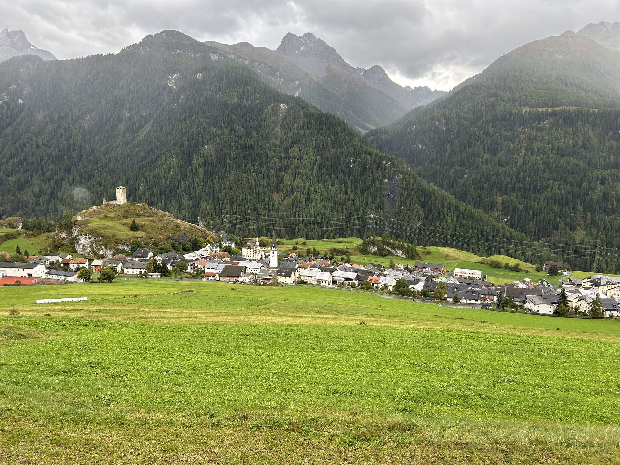
As soon as you arrive at the mountain, the first climb on the Clünas traverse to the reservoir lake towards Chamanna Naluns and Alp Clünas awaits you. After reaching the highest point at 2510 m above sea level, you pass Muot da l'Hom (2509 m) and descend on a singletrail to Alp Laret. Along the contour line, a singletrail leads to Alp Valmala by the Tasnan mountain stream. On the last section before Alp Valmala (1975 m), a bit of concentration is needed as the trail becomes steeper and more technical. Anyone needing a snack can enjoy a piece of fresh goat cheese from Alp Valmala. On the following singletrail, which leads about four kilometers through Val Tasna, the pace is more relaxed. At Pra da Punt, a bridge crosses over to the "God Baselgia" section, which leads up and down to Ftan. The last kilometers back to Scuol towards the mountain railway are covered on a winding forest road from Ftan Pitschen.

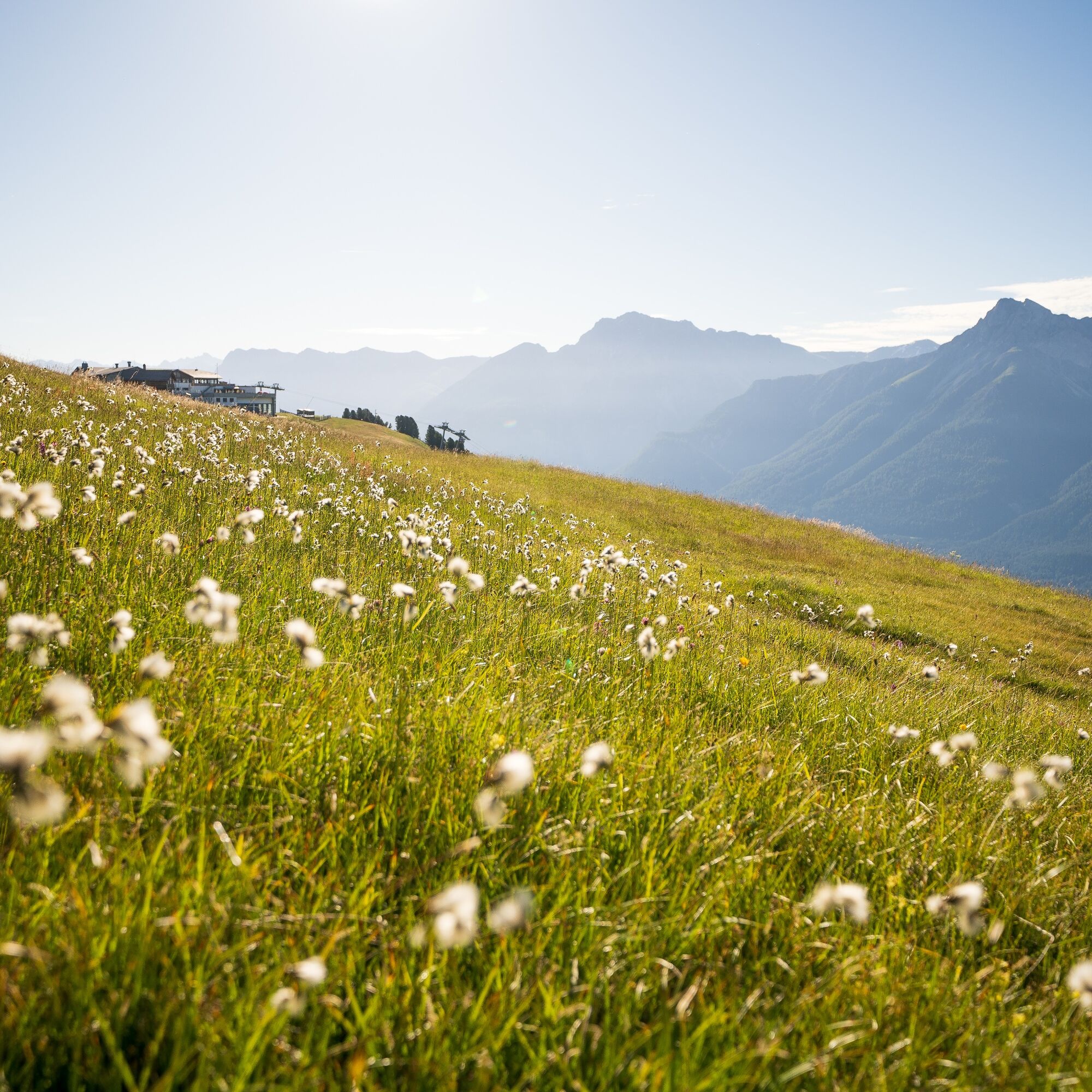
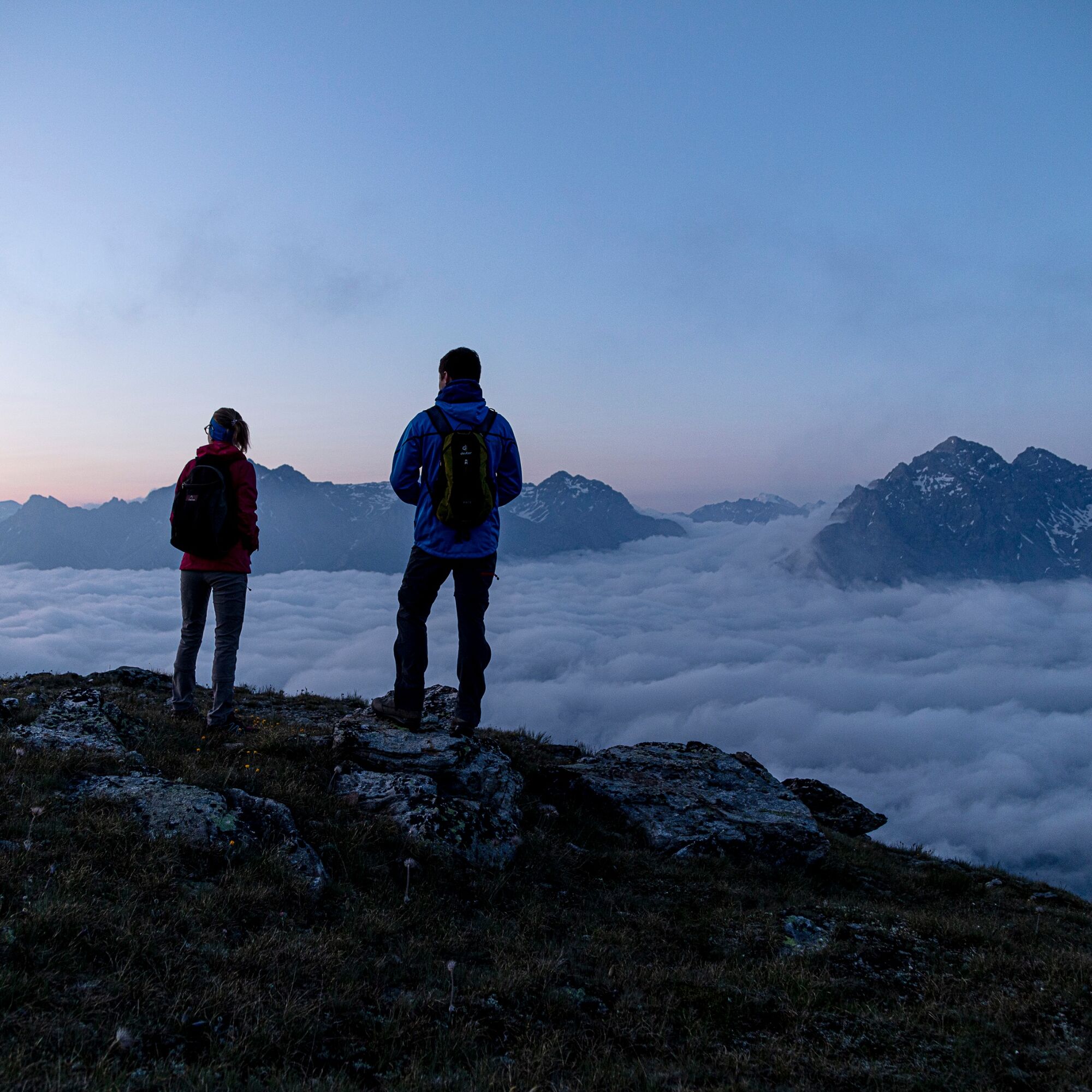
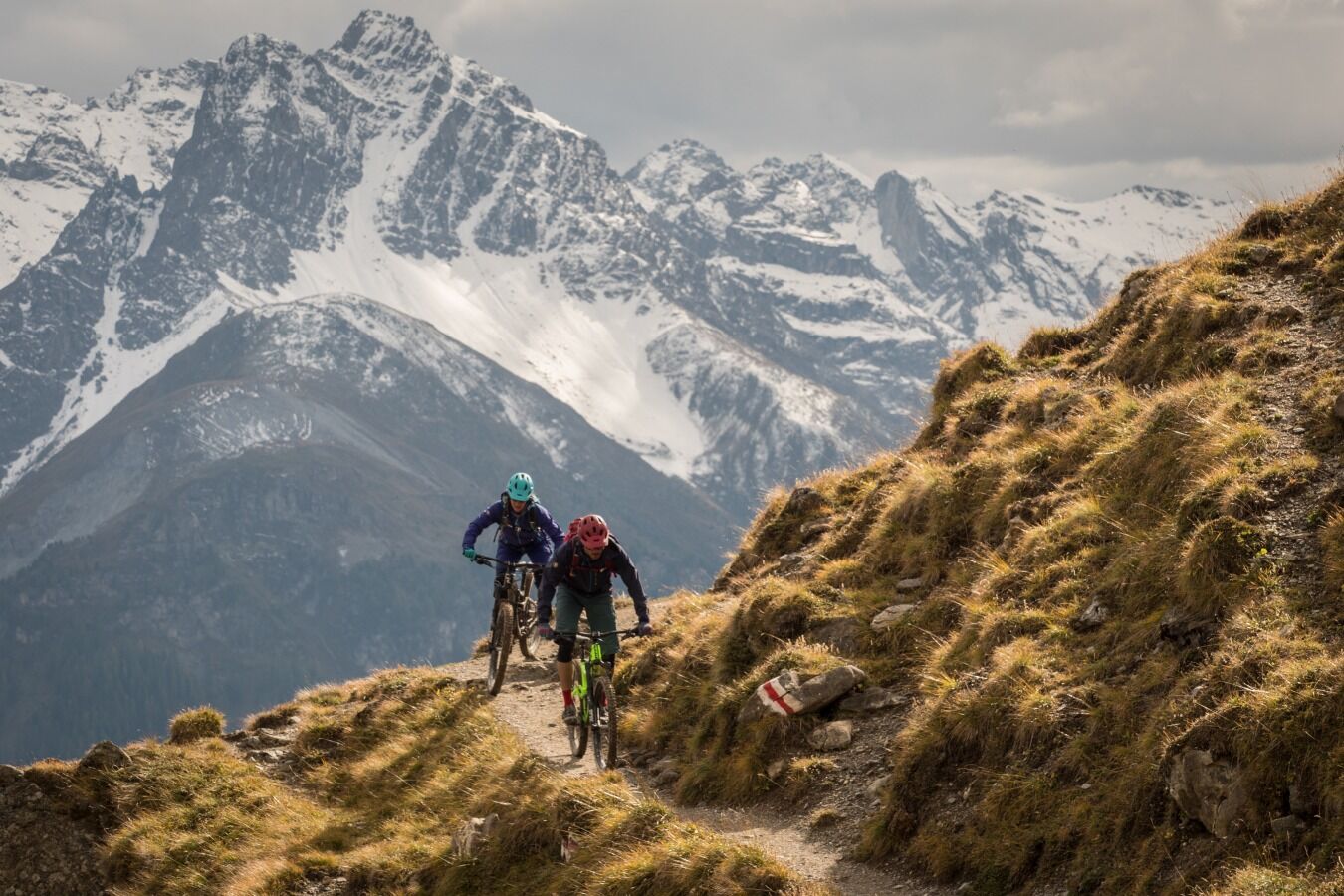
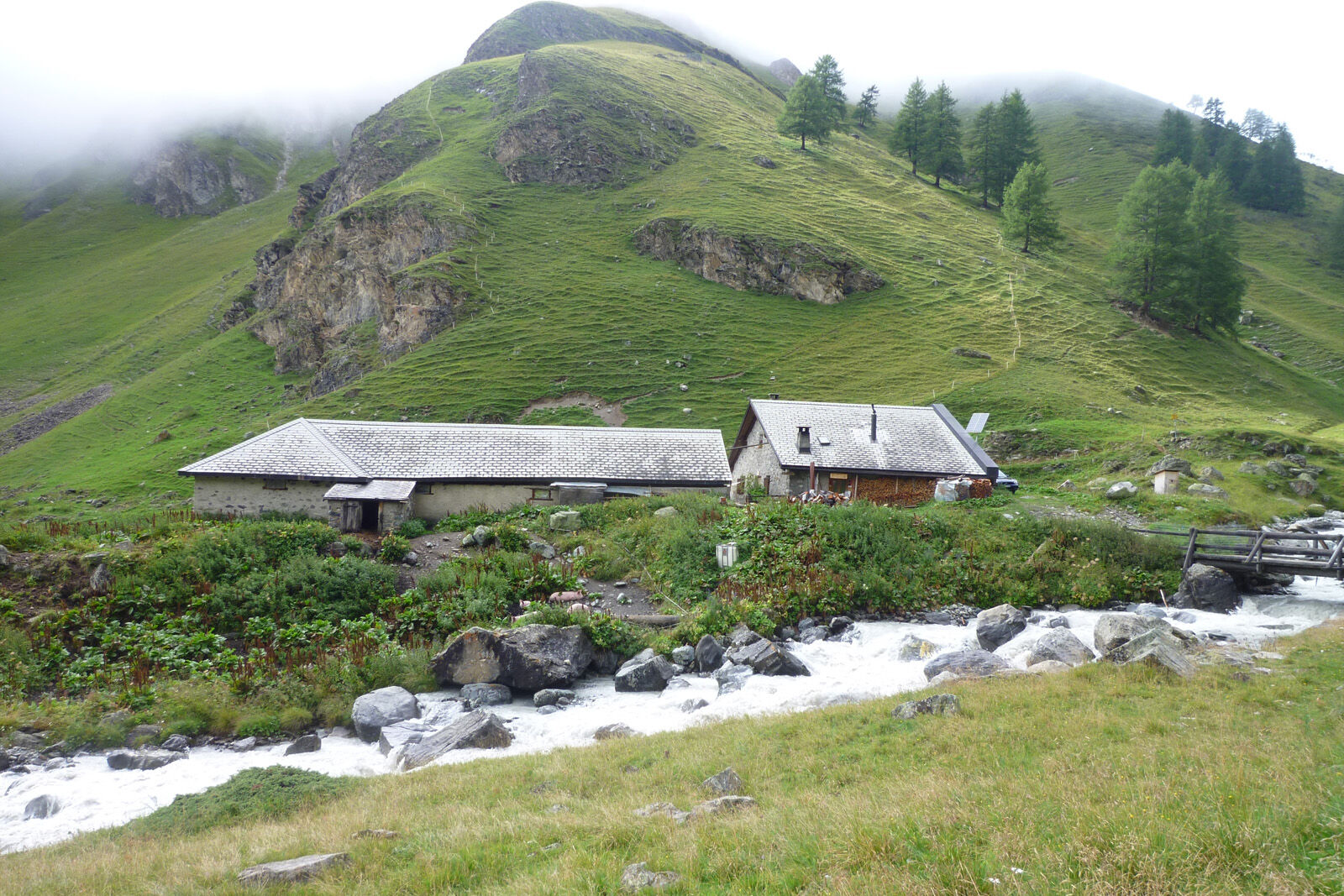
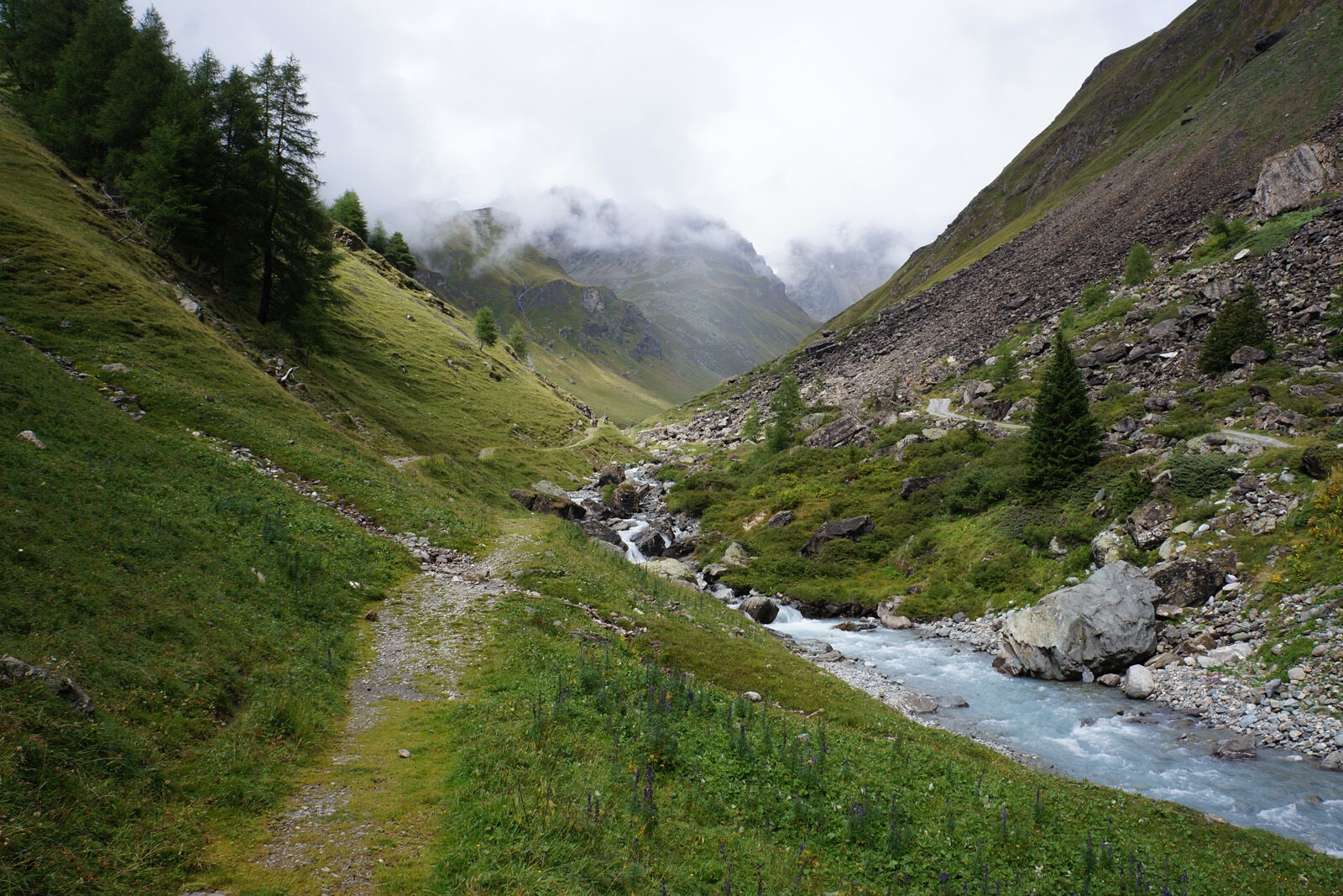

Mountain station Motta Naluns (2149 m) to Alp Clünas (2432 m)
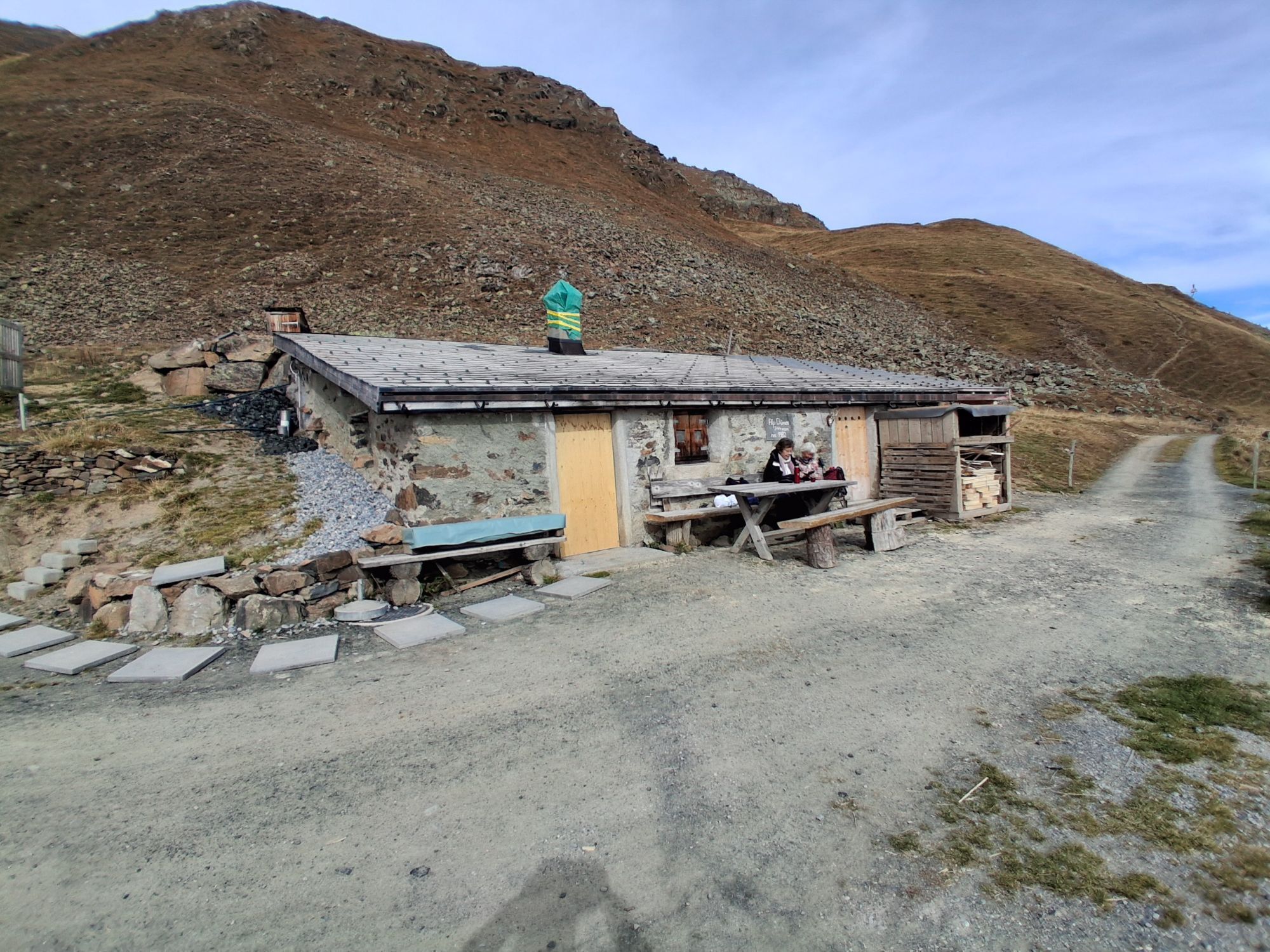
Further to Muot da l`Hom (2502 m) and down to Alp Laret (2205 m)
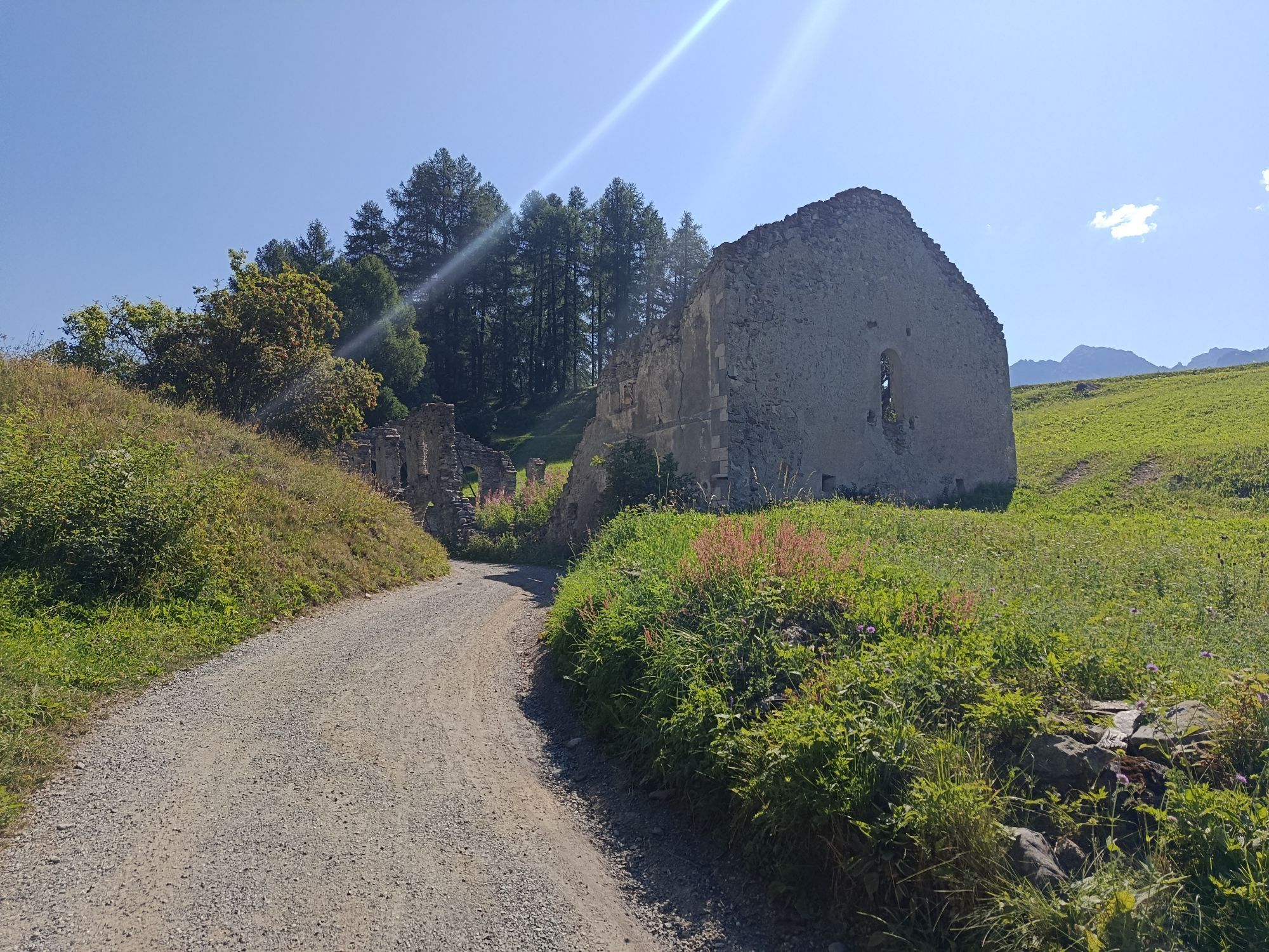
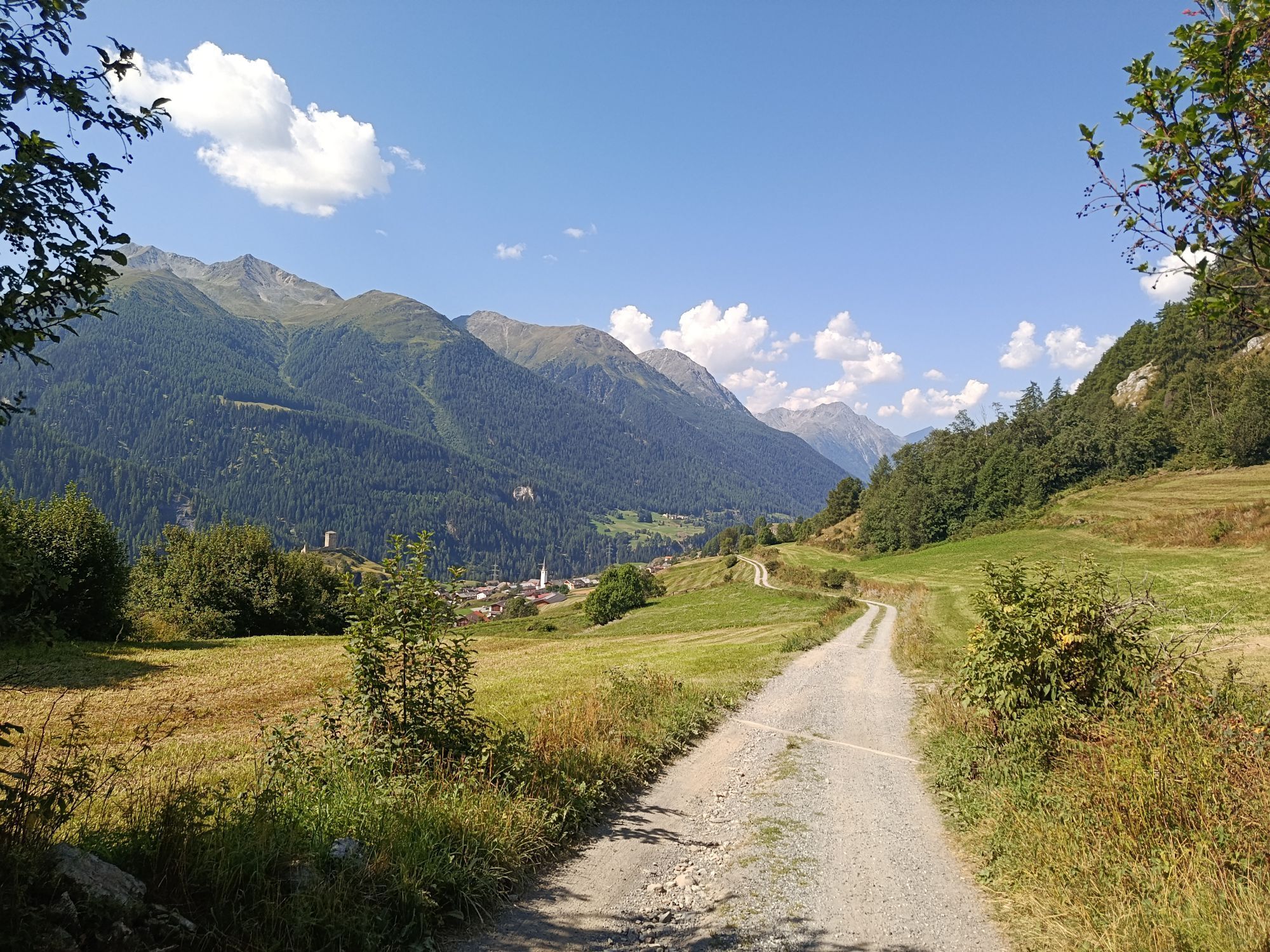
Alp Valmala (1975 m) through Val Tasna to Pra da Punt
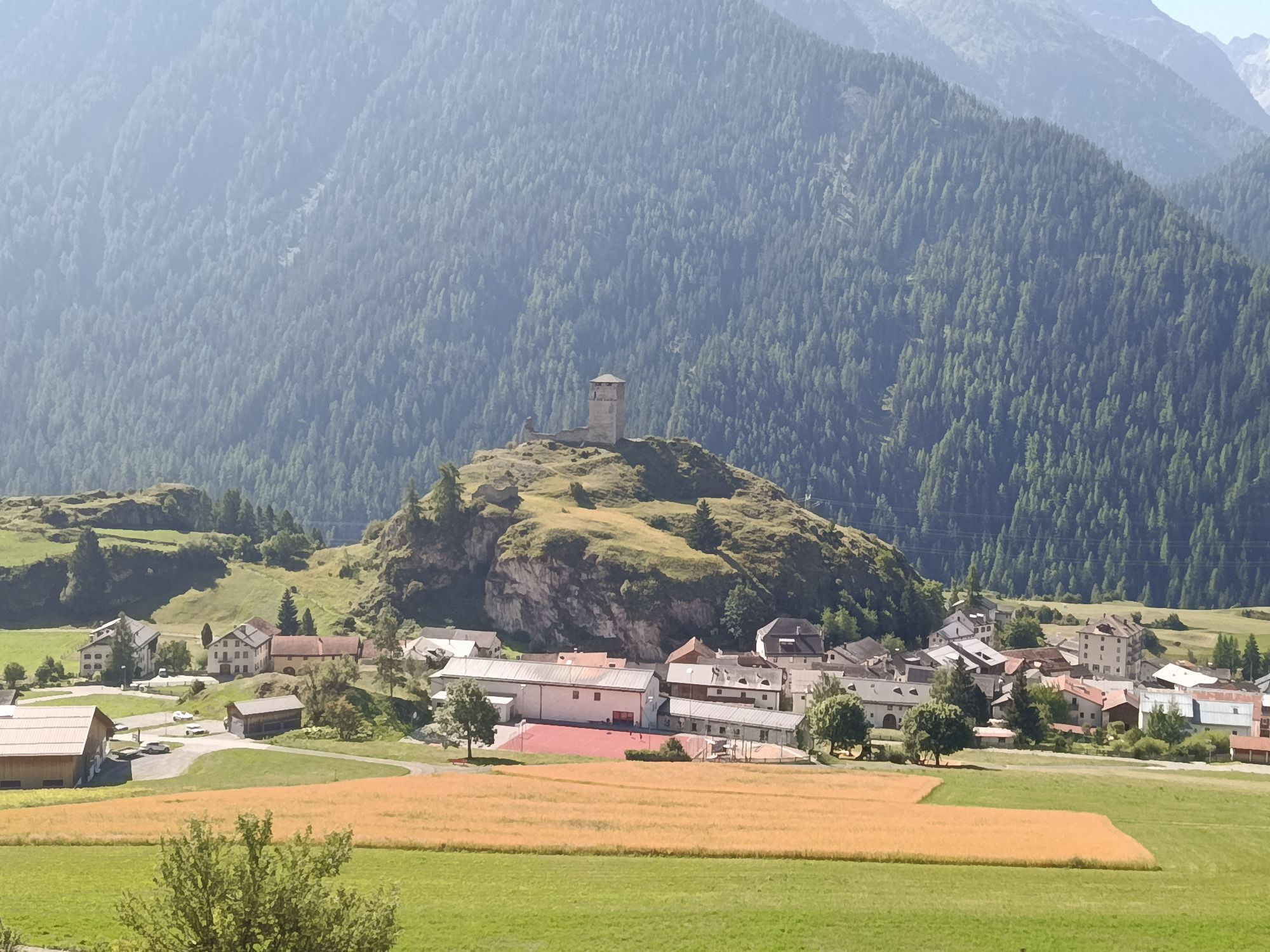
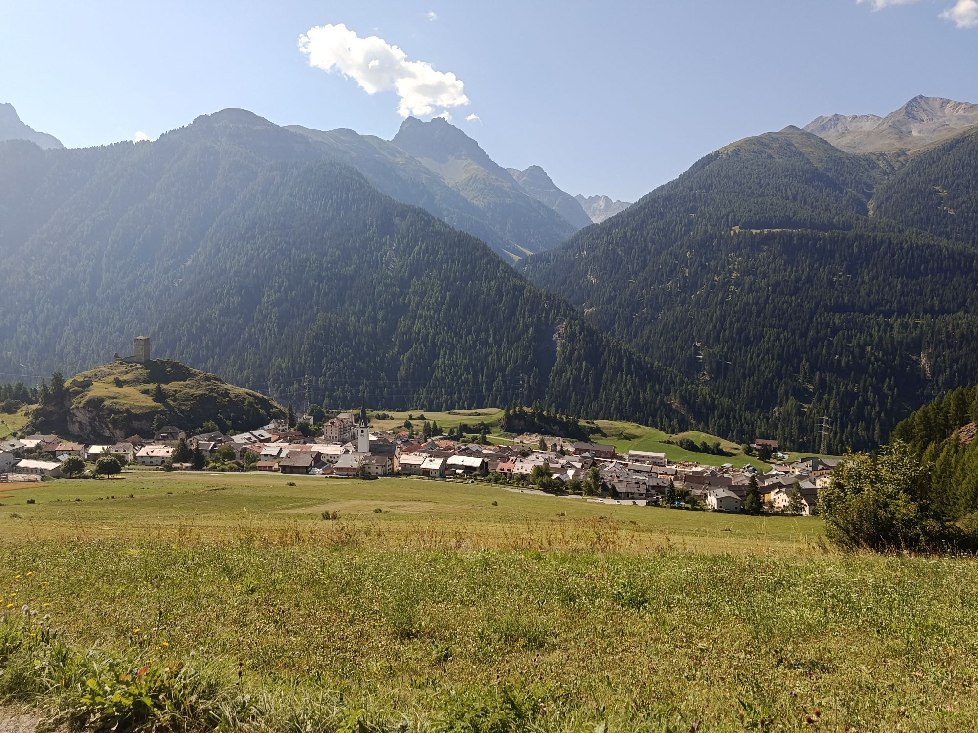
Pra da Punt towards Ftan Pitschen and Bergbahnen Scuol
Helmet, gloves, good footwear, glasses, rain and sun protection, water bottle, repair kit, first aid kit
Emergency numbers:
144 Emergency, First aid
1414 Mountain Rescue REGA
112 International emergency call
From the north: via Landquart – Klosters by car shuttle through the Vereina tunnel (Selfranga - Sagliains) or via Flüela Pass, along the Lower Engadin to Scuol
From the east: via Landeck / Austria towards St. Moritz on H27 to Scuol
From the south: via Reschen Pass (Nauders-Martina) towards St. Moritz on H27 to Scuol
By the Rhaetian Railway (from Chur, Landquart/Prättigau or from Upper Engadin) to Scuol-Tarasp
Gondola lift to the mountain station Motta Naluns
Parking spaces directly next to the valley station of Bergbahnen Motta Naluns in Scuol
S3
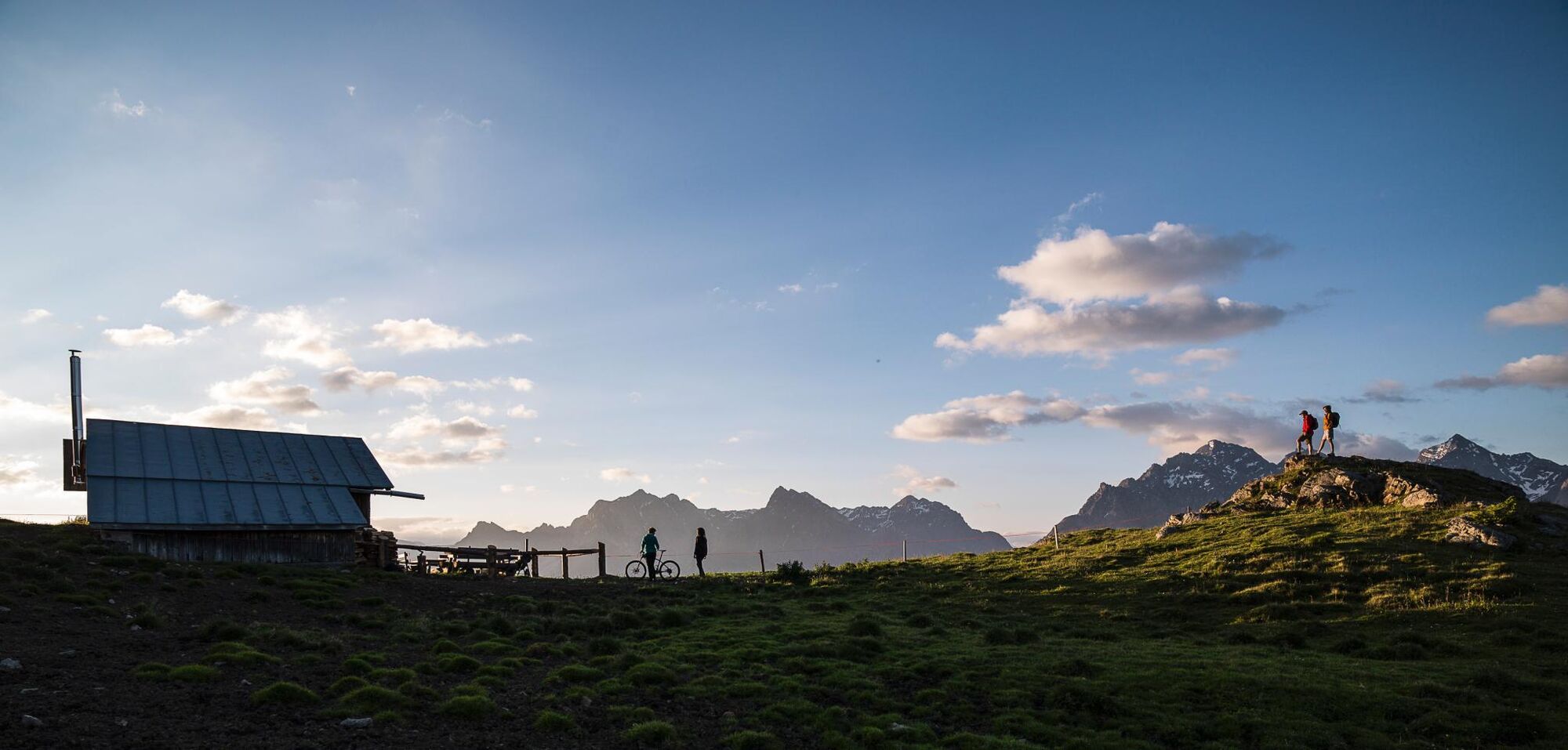
Alp Laret invites you to a refreshing break during the summer season.
Webové kamery z prehliadky

Obľúbené výlety v okolí
-
4,8
Hiking trail Piz Buin - view
strednáTuristika 14,4 km -
4,4
National Park: Margunet
svetloTuristika 7,76 km -
4,7
Jamtal lodge
strednáTuristika 19,6 km -
5,0
Großer Piz Buin (3.312m), Normalweg 2019 über Ochsentaler Gletscher
ťažkéVysoké turné 24,1 km -
4,8
National park: Zernez – Munt Baselgia – Macun lakes – Alp Zeznina – Lavin
ťažkéTuristika 22,9 km -
3,7
Bielerhöhe - Vermuntkopf - Bielerhöhe
strednáTuristika 17 km -
4,7
Hennekopf von der Bielerhöhe (Gemeinde Galtür, Tirol/Österreich)
strednáHorská turistika 9,43 km -
5,0
National Park: Chamanna Cluozza
strednáTuristika 8,37 km -
4,8
National Park: Grimmels (circular hike)
svetloTuristika 6 km -
4,6
Gaschurn, Wiesbadner Hütte
Mountainbike 6,82 km
Turistika a stopovanie


Nenechajte si ujsť ponuky a inšpiráciu na ďalšiu dovolenku
Vaša e-mailová adresa bol pridaný do poštového zoznamu.





