


Hiking trail Piz Buin - view
Fotografie našich používateľov
-
 © Andre HahnVytvorené dňa 06.09.2022
 -
 © Andre HahnVytvorené dňa 06.09.2022
 -
 © Stefan BonnesVytvorené dňa 07.09.2025
 -
 © Patrick SchiphorstVytvorené dňa 07.09.2025
 -
 © renekjVytvorené dňa 06.09.2025
 -
 © Stefan BonnesVytvorené dňa 06.09.2025
 -
 © Stefan BonnesVytvorené dňa 06.09.2025
 -
 © Patrick SchiphorstVytvorené dňa 06.09.2025
 -
 © Patrick SchiphorstVytvorené dňa 06.09.2025
 -
 © Patrick SchiphorstVytvorené dňa 06.09.2025
 -
 © Patrick SchiphorstVytvorené dňa 06.09.2025
 -
 © Ralf UmmingerVytvorené dňa 18.07.2025
 -
 © Ralf UmmingerVytvorené dňa 18.07.2025
 -
 © Ralf UmmingerVytvorené dňa 18.07.2025
 -
 © Ralf UmmingerVytvorené dňa 18.07.2025
 -
 © Ralf UmmingerVytvorené dňa 18.07.2025
 -
 © Ralf UmmingerVytvorené dňa 18.07.2025
 -
 © Ralf UmmingerVytvorené dňa 18.07.2025
 -
 © Ralf UmmingerVytvorené dňa 18.07.2025
 -
 © Ralf UmmingerVytvorené dňa 18.07.2025
 -
 © Ralf UmmingerVytvorené dňa 18.07.2025
 -
 © Ralf UmmingerVytvorené dňa 18.07.2025
 -
 © Ralf UmmingerVytvorené dňa 18.07.2025
 -
 © Ralf UmmingerVytvorené dňa 18.07.2025
 -
 © Ralf UmmingerVytvorené dňa 18.07.2025
 -
 © Ralf UmmingerVytvorené dňa 18.07.2025
 -
 © Ralf UmmingerVytvorené dňa 25.09.2024
 -
 © Ralf UmmingerVytvorené dňa 25.09.2024
 -
 © Ralf UmmingerVytvorené dňa 25.09.2024
 -
 © Daniel HerzVytvorené dňa 30.08.2024
 -
 © Daniel HerzVytvorené dňa 30.08.2024
 -
 © Daniel HerzVytvorené dňa 30.08.2024
 -
 © Daniel HerzVytvorené dňa 30.08.2024
 -
 © Daniel HerzVytvorené dňa 30.08.2024
 -
 © Daniel HerzVytvorené dňa 30.08.2024
 -
 © Colin BowserVytvorené dňa 14.08.2022
 -
 © Colin BowserVytvorené dňa 14.08.2022
 -
 © Simon LiranzoVytvorené dňa 16.10.2022
 -
 © Simon LiranzoVytvorené dňa 16.10.2022
 -
 © Simon LiranzoVytvorené dňa 16.10.2022
 -
 © Simon LiranzoVytvorené dňa 16.10.2022
 -
 © Simon LiranzoVytvorené dňa 16.10.2022
 -
 © Simon LiranzoVytvorené dňa 16.10.2022
 -
 © Simon LiranzoVytvorené dňa 16.10.2022
 -
 © Simon LiranzoVytvorené dňa 16.10.2022
 -

 © gbittnerVytvorené dňa 12.09.2019
 -
 © Genoveva SVytvorené dňa 05.03.2026
 -
 © Genoveva SVytvorené dňa 05.03.2026

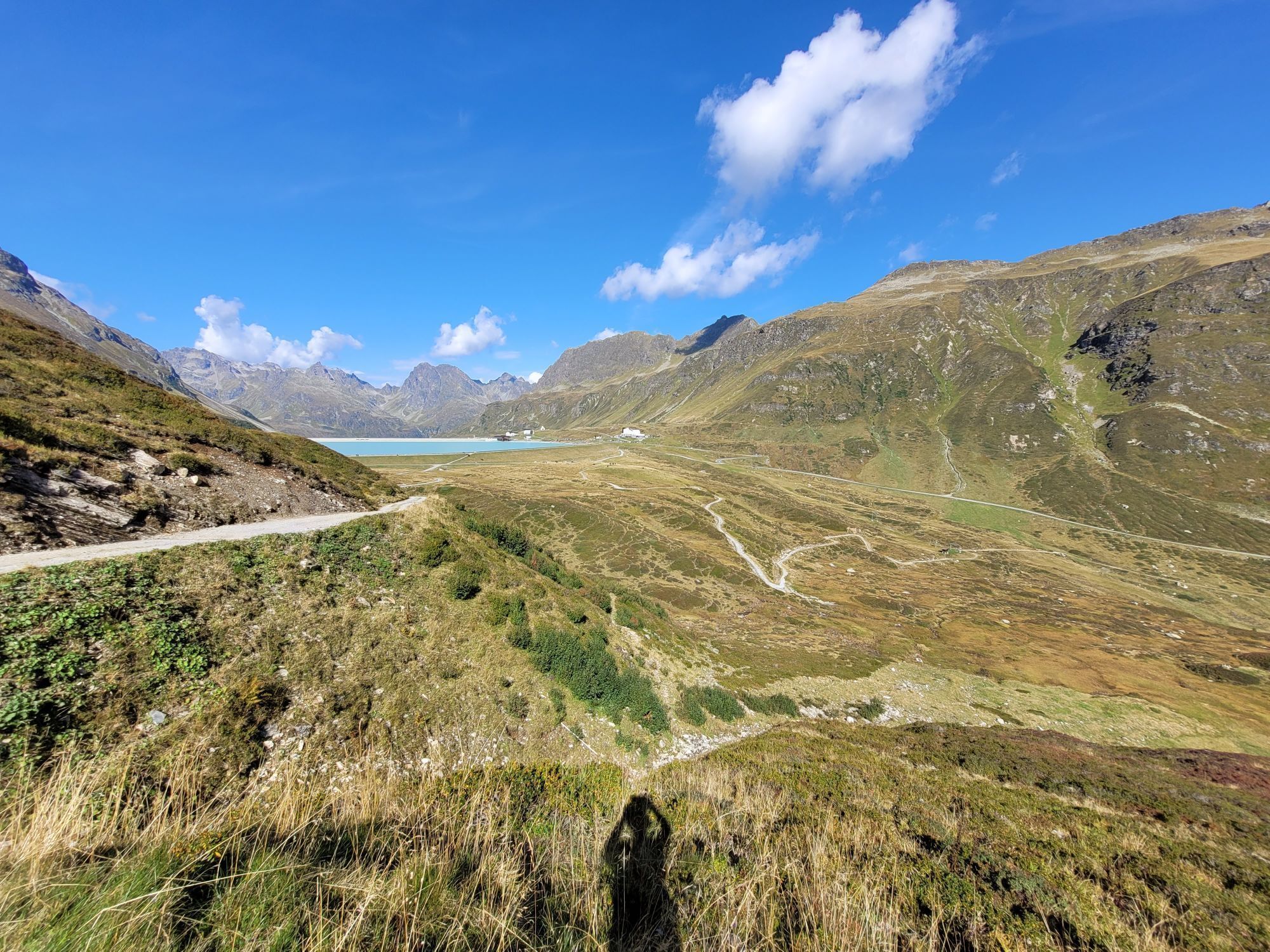


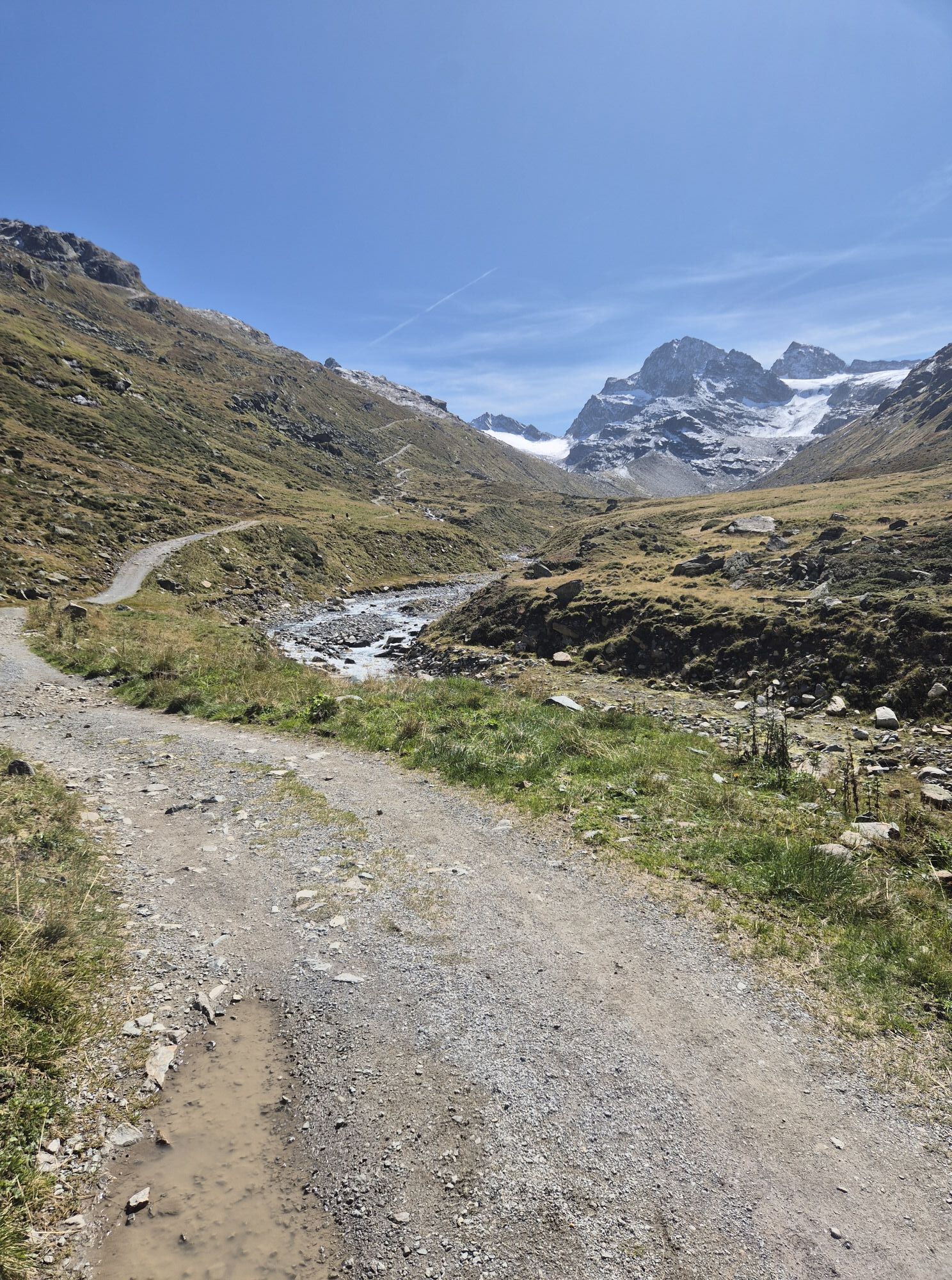
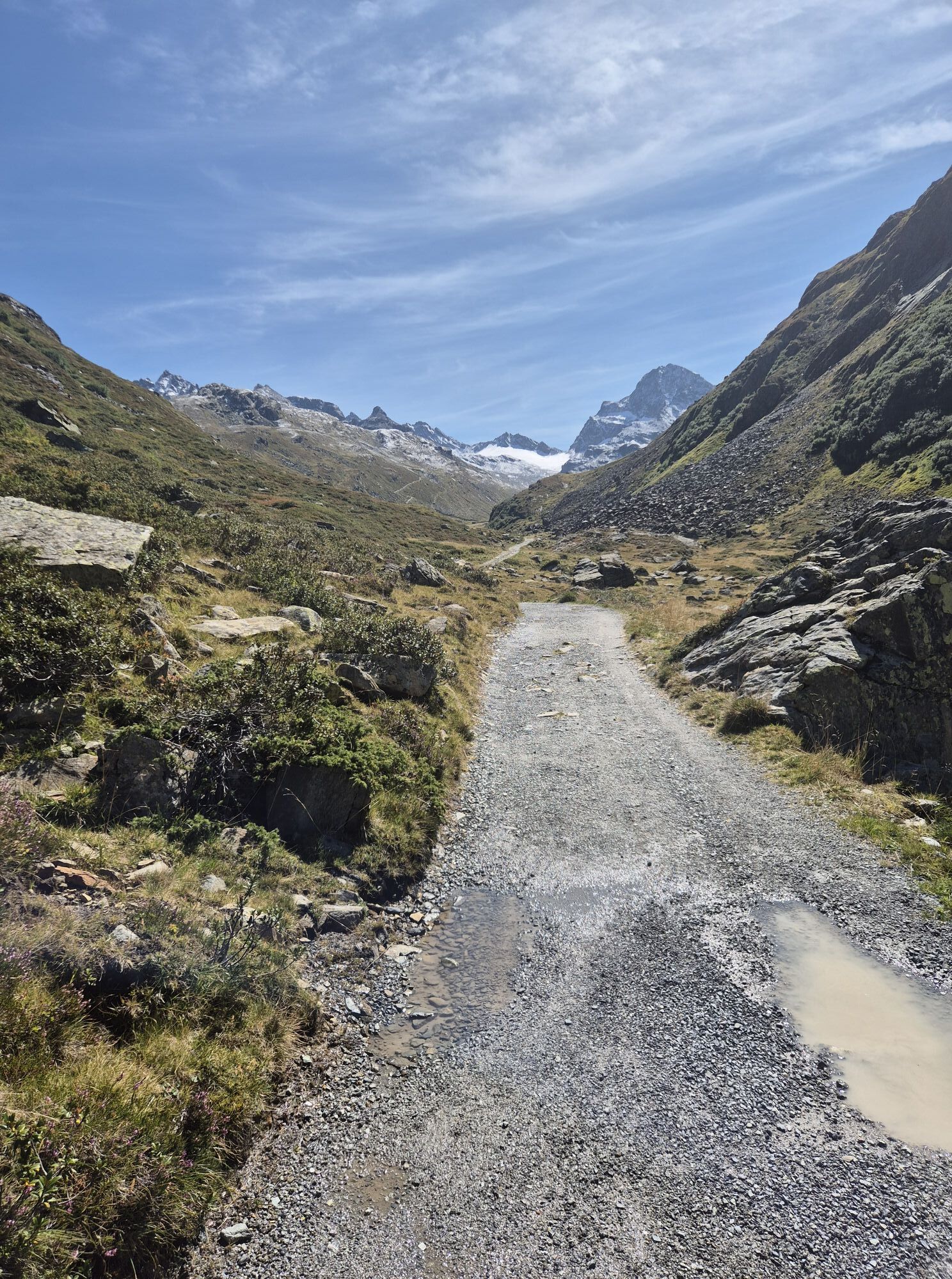
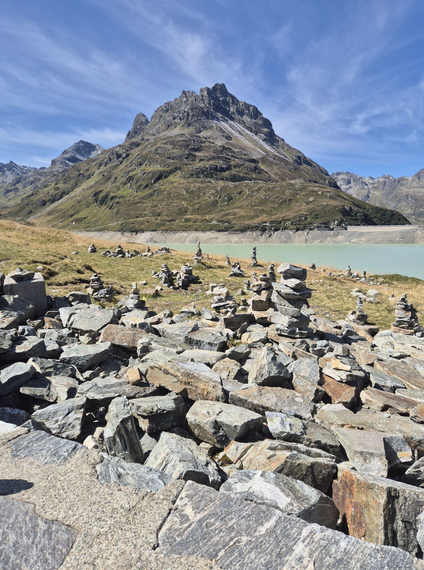
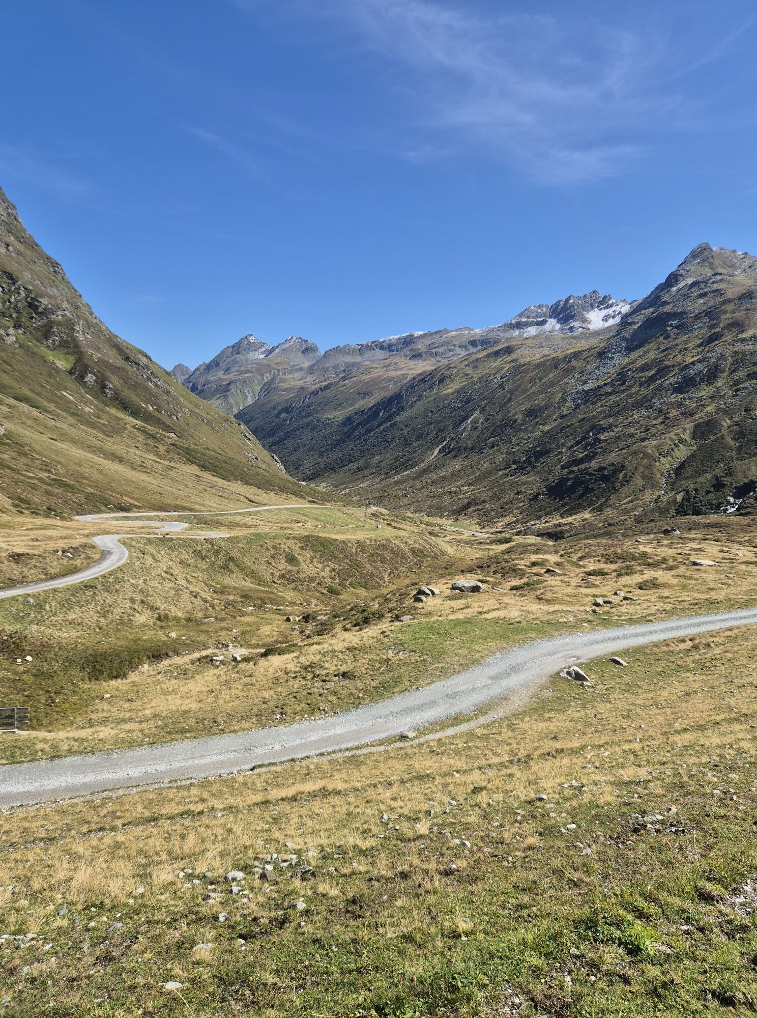


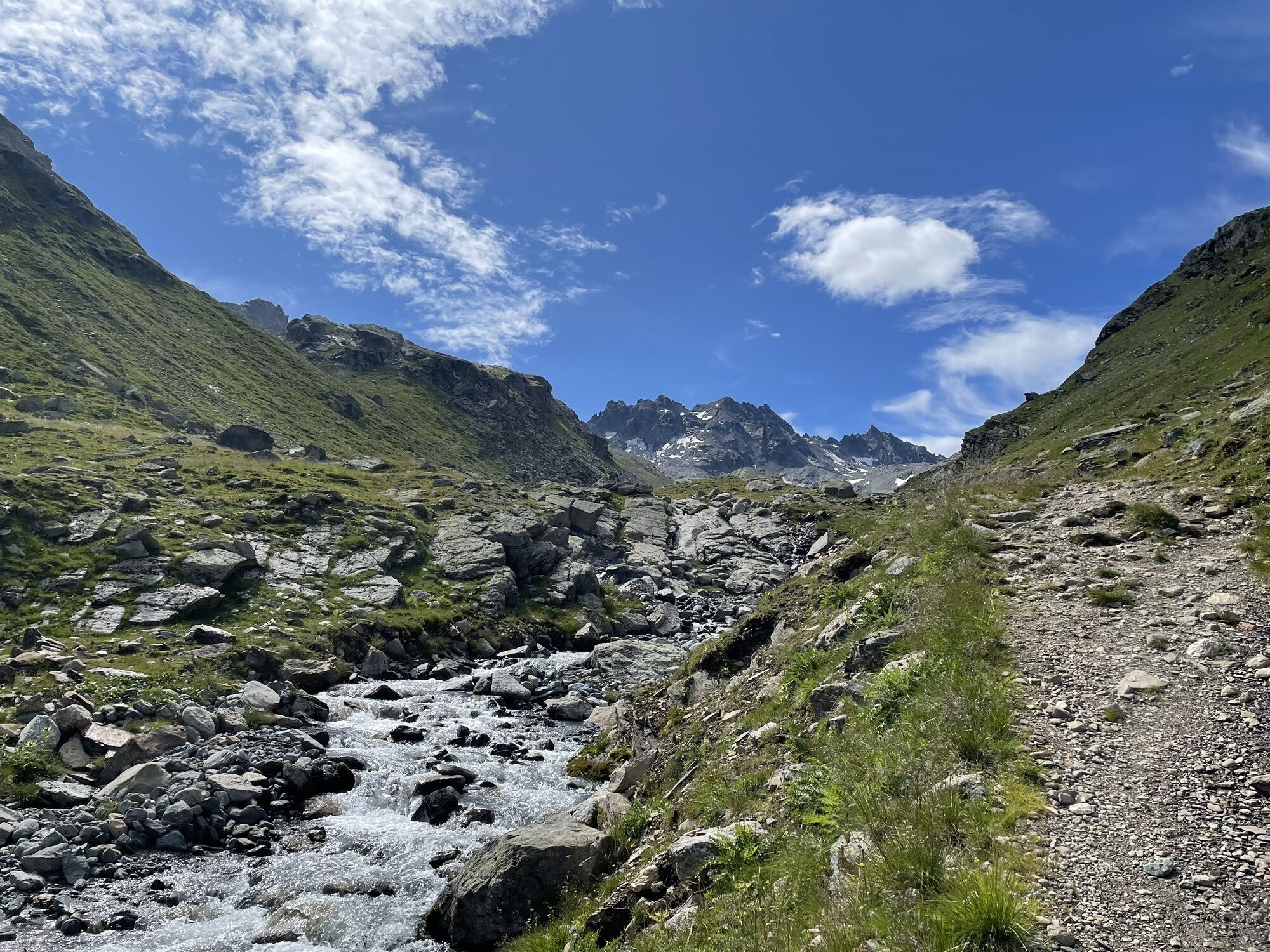
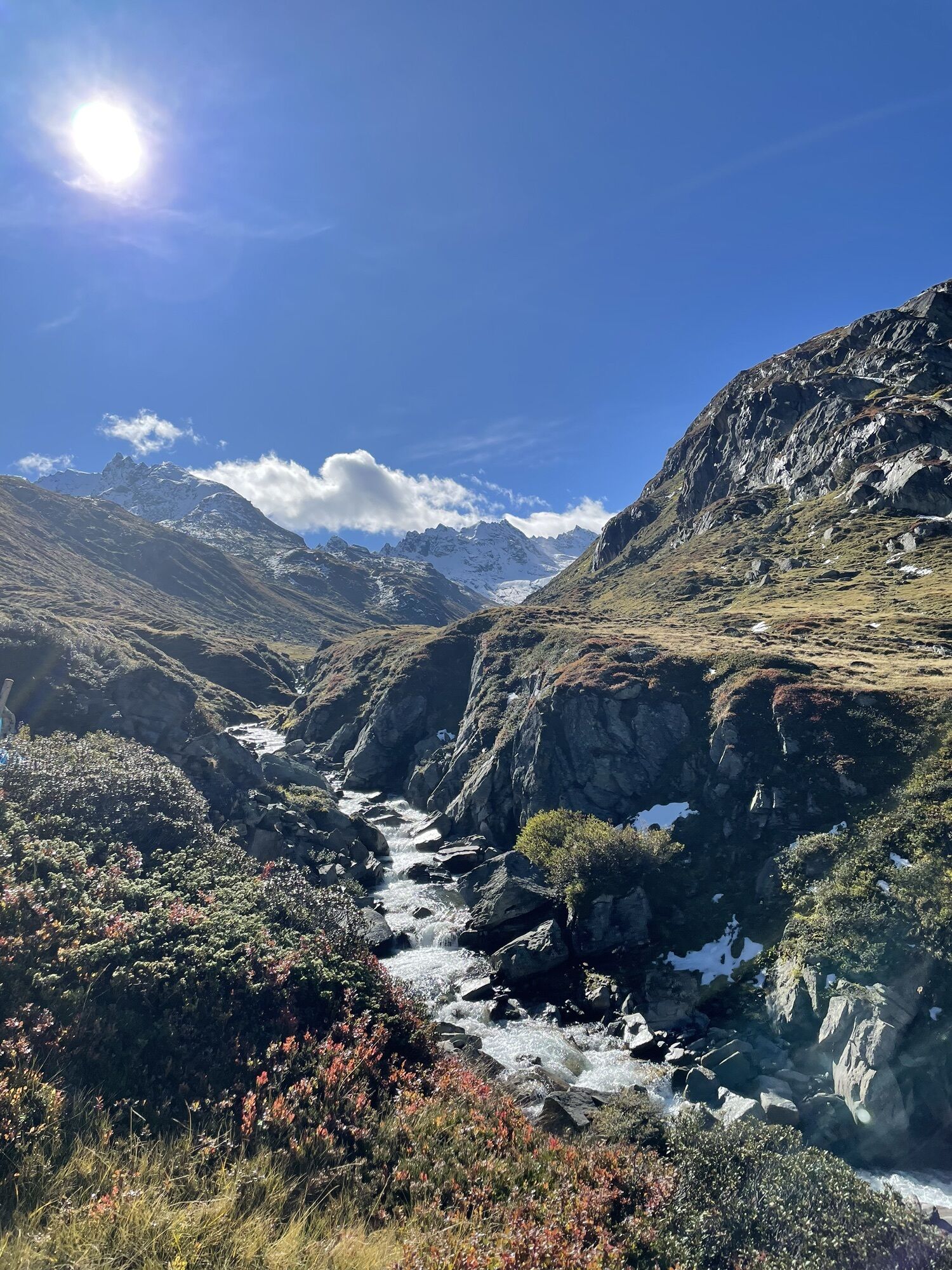


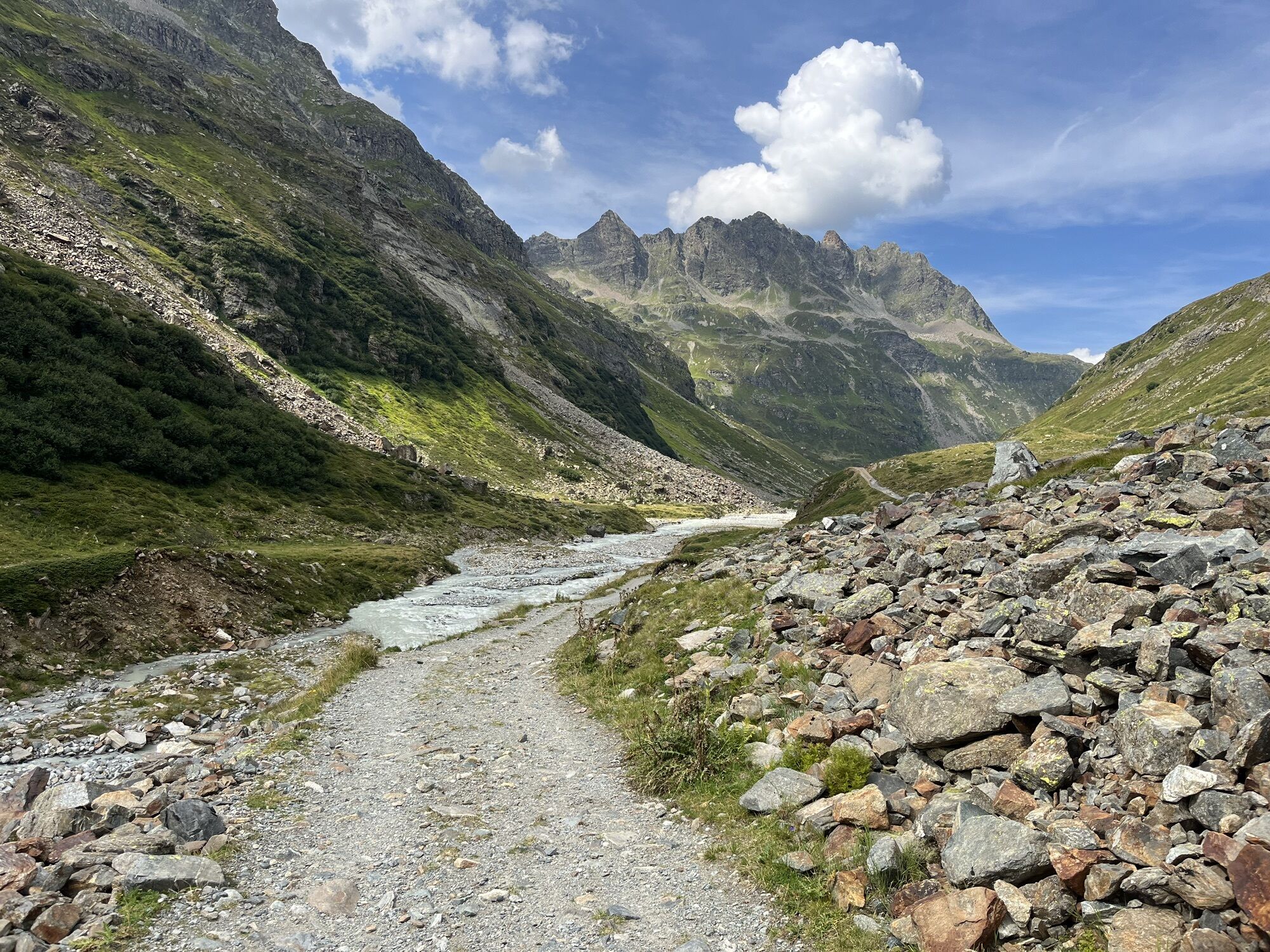

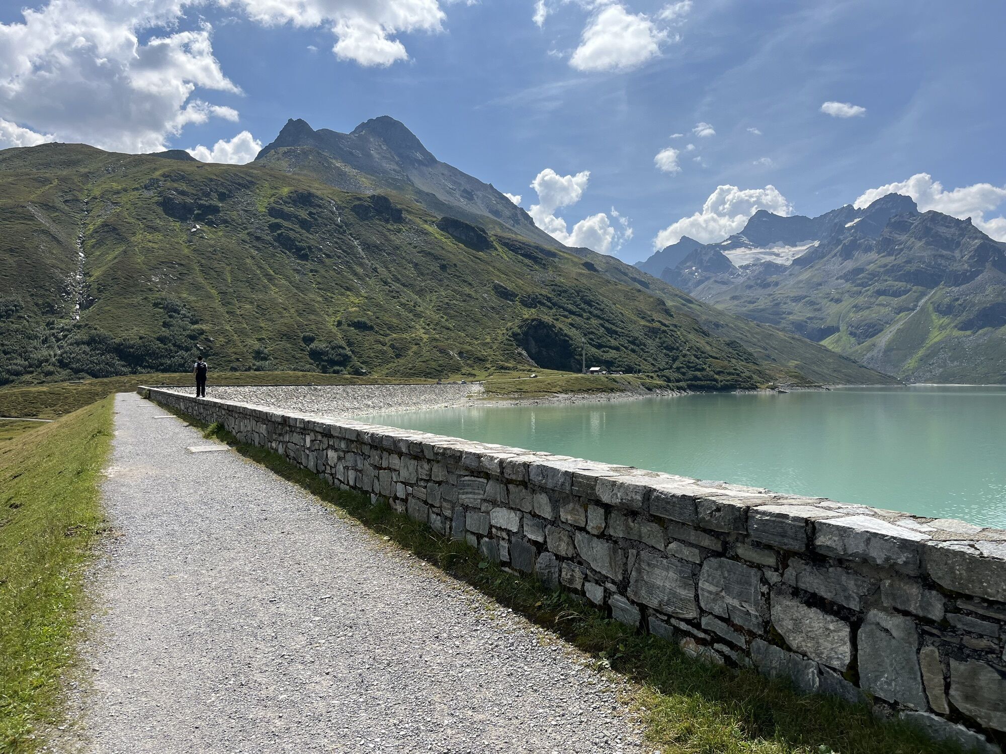


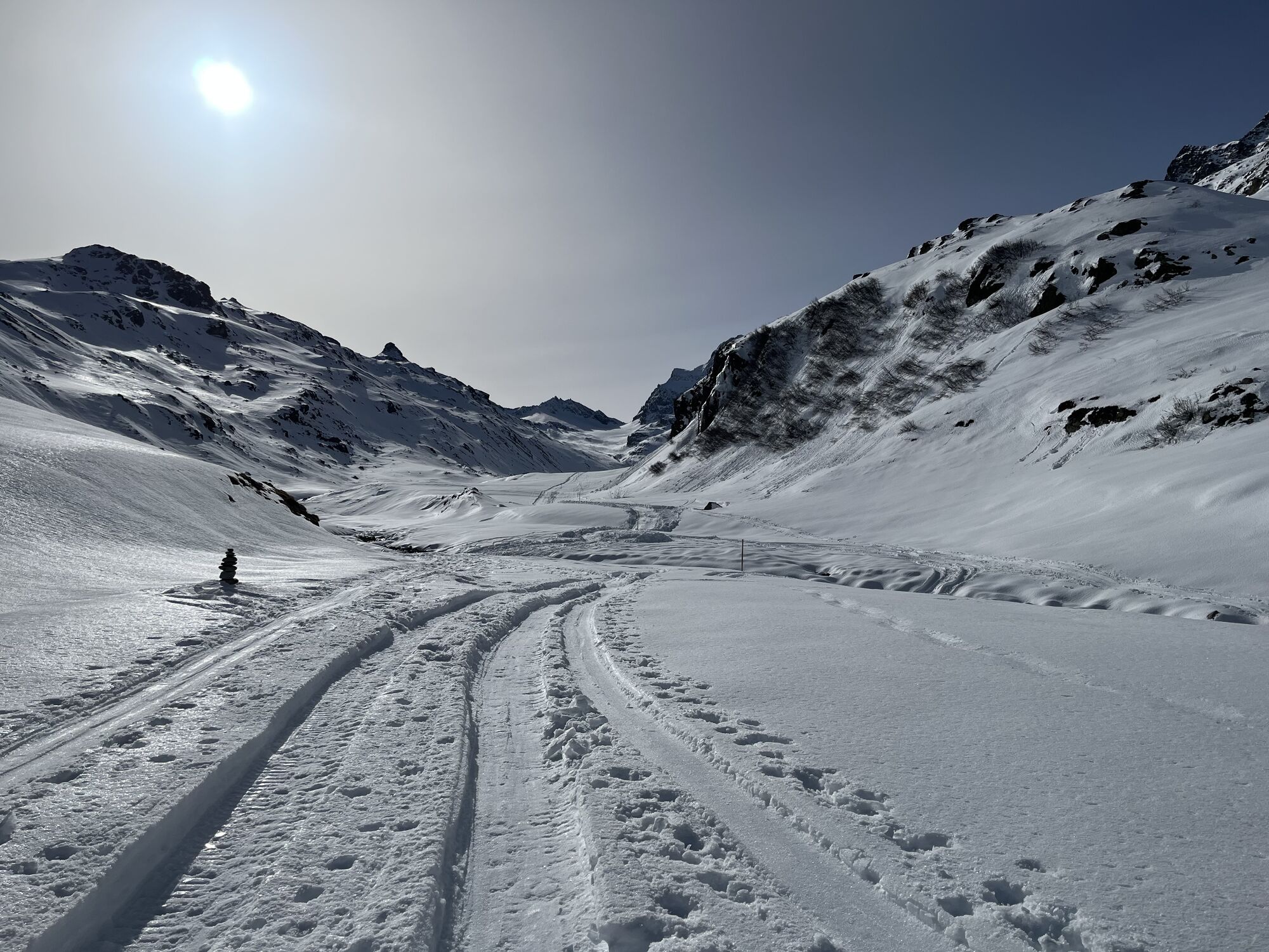
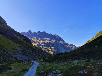
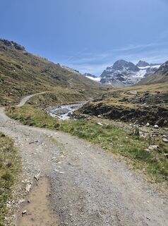
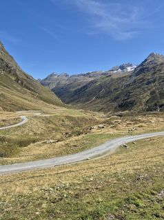
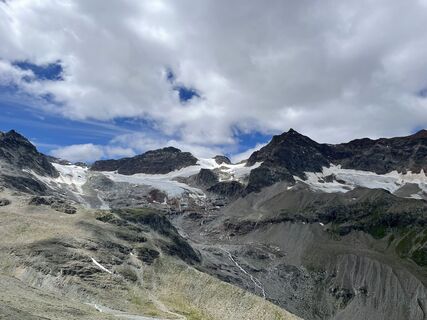
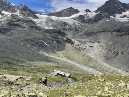
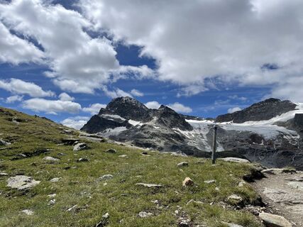
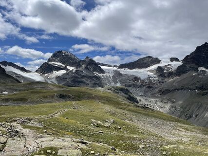
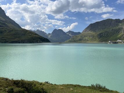
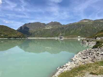
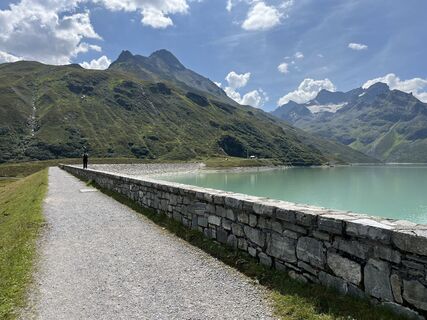
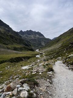
By car or by bus (toll) to Bielerhöhe. The route proceeds left here along the reservoir dam until just before the end, at the signpost, a wide hiking trail branches off to the left and proceeds with a...
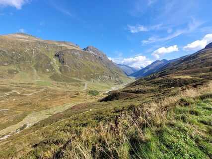
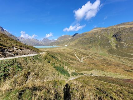
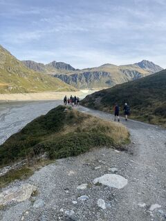
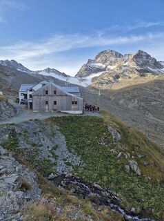
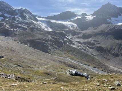
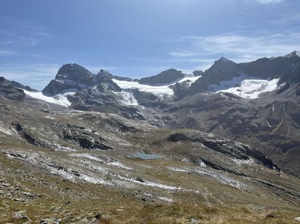
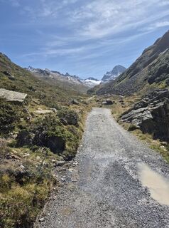
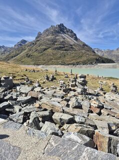
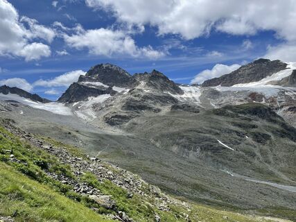
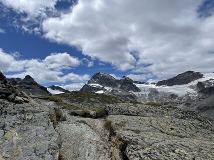
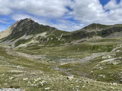
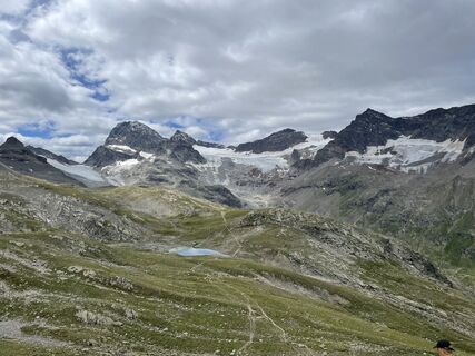
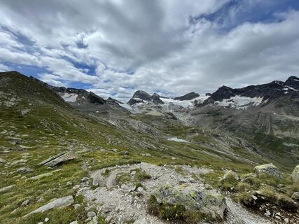
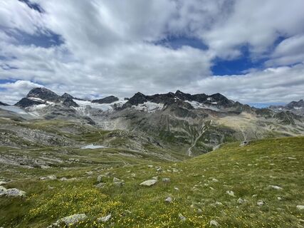
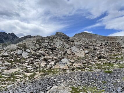
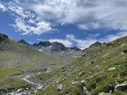
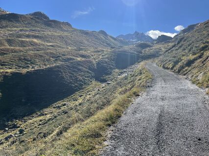
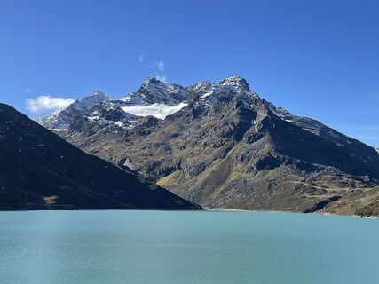
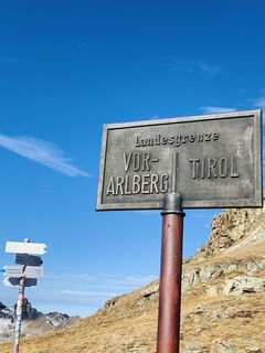
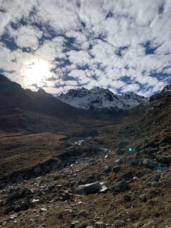
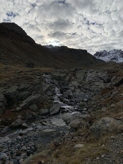
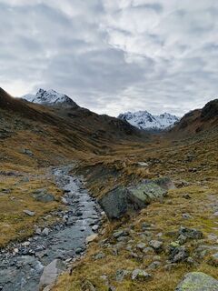
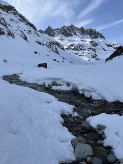
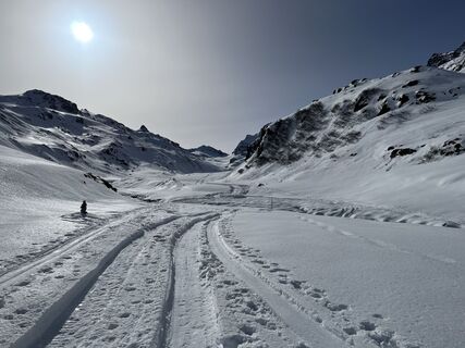
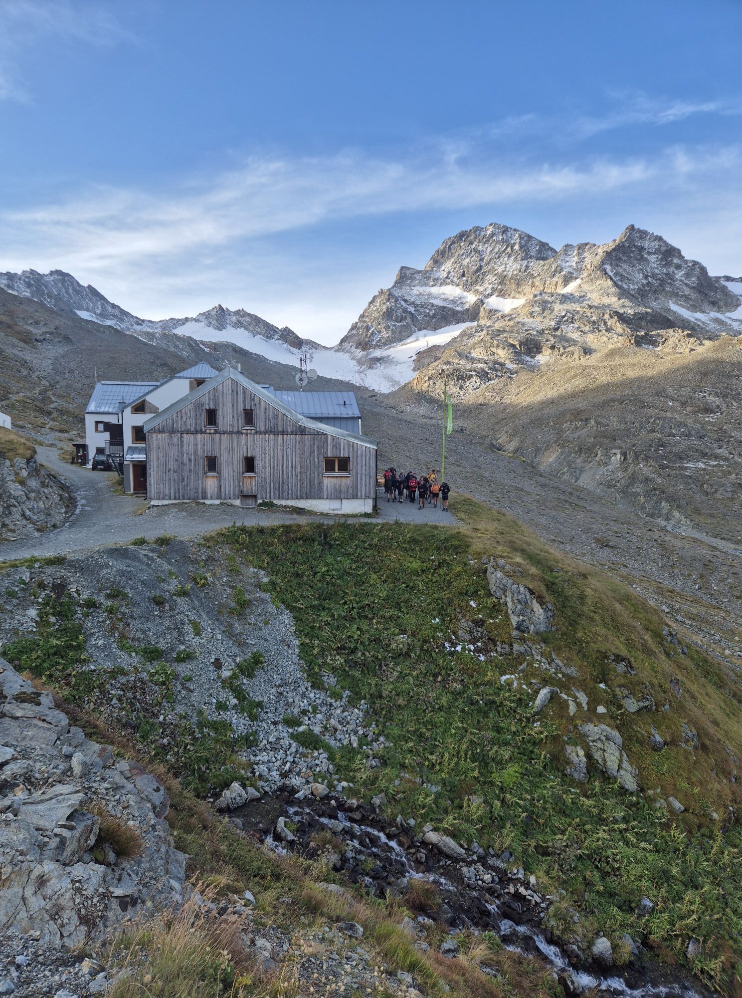
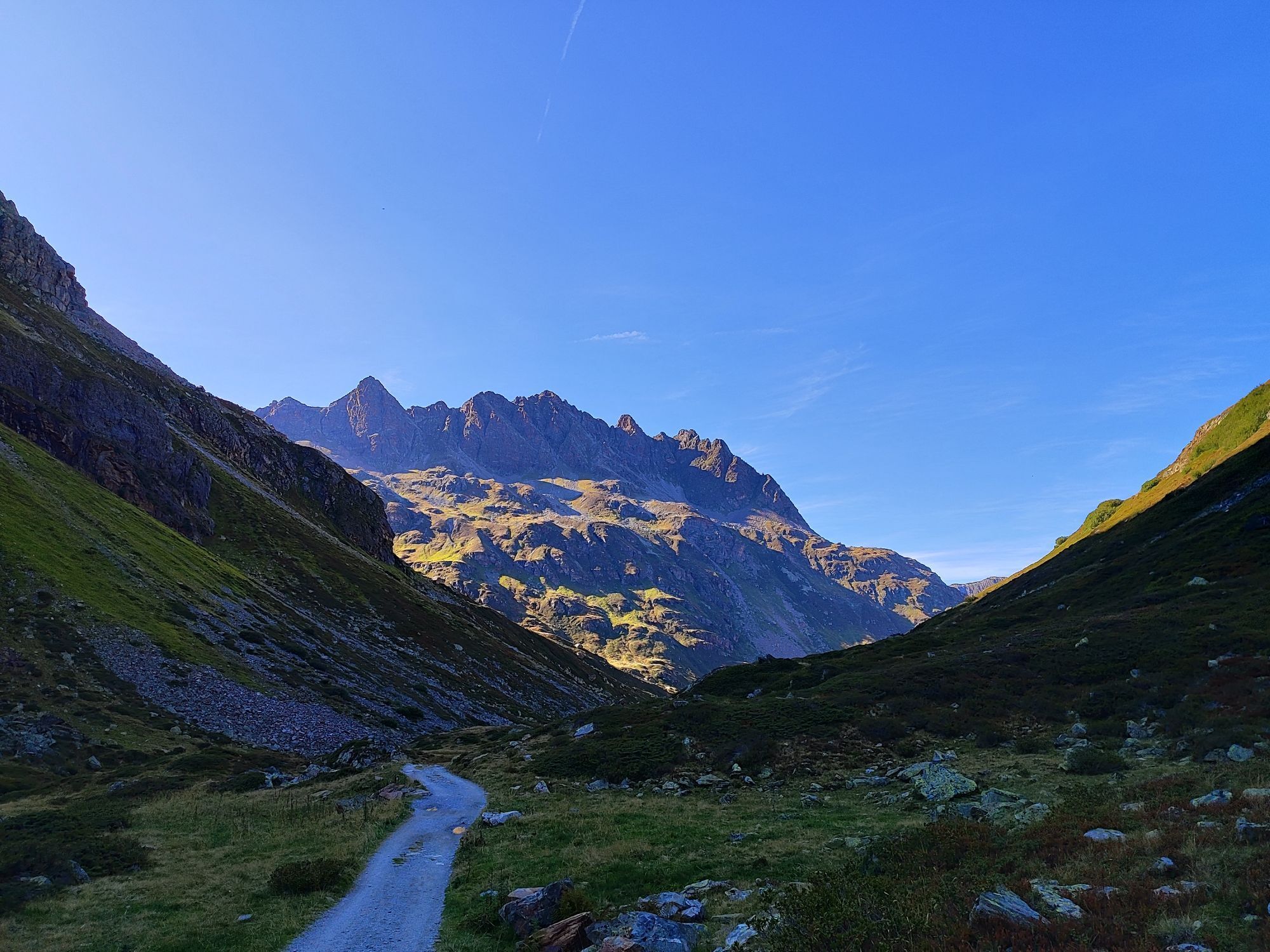
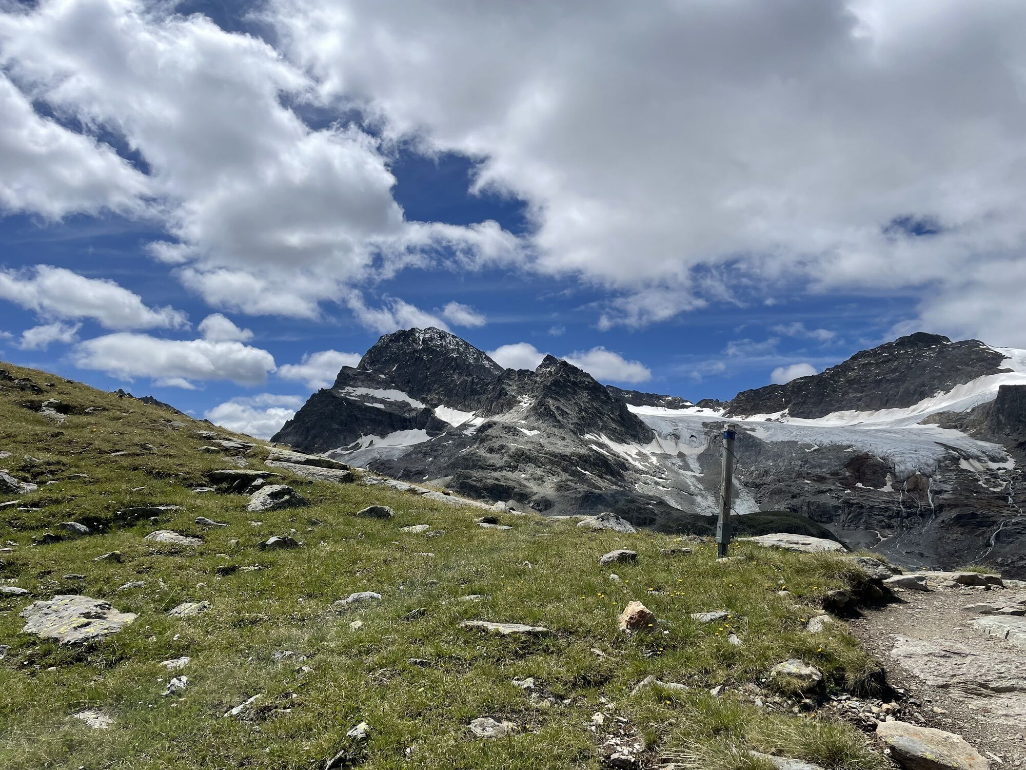
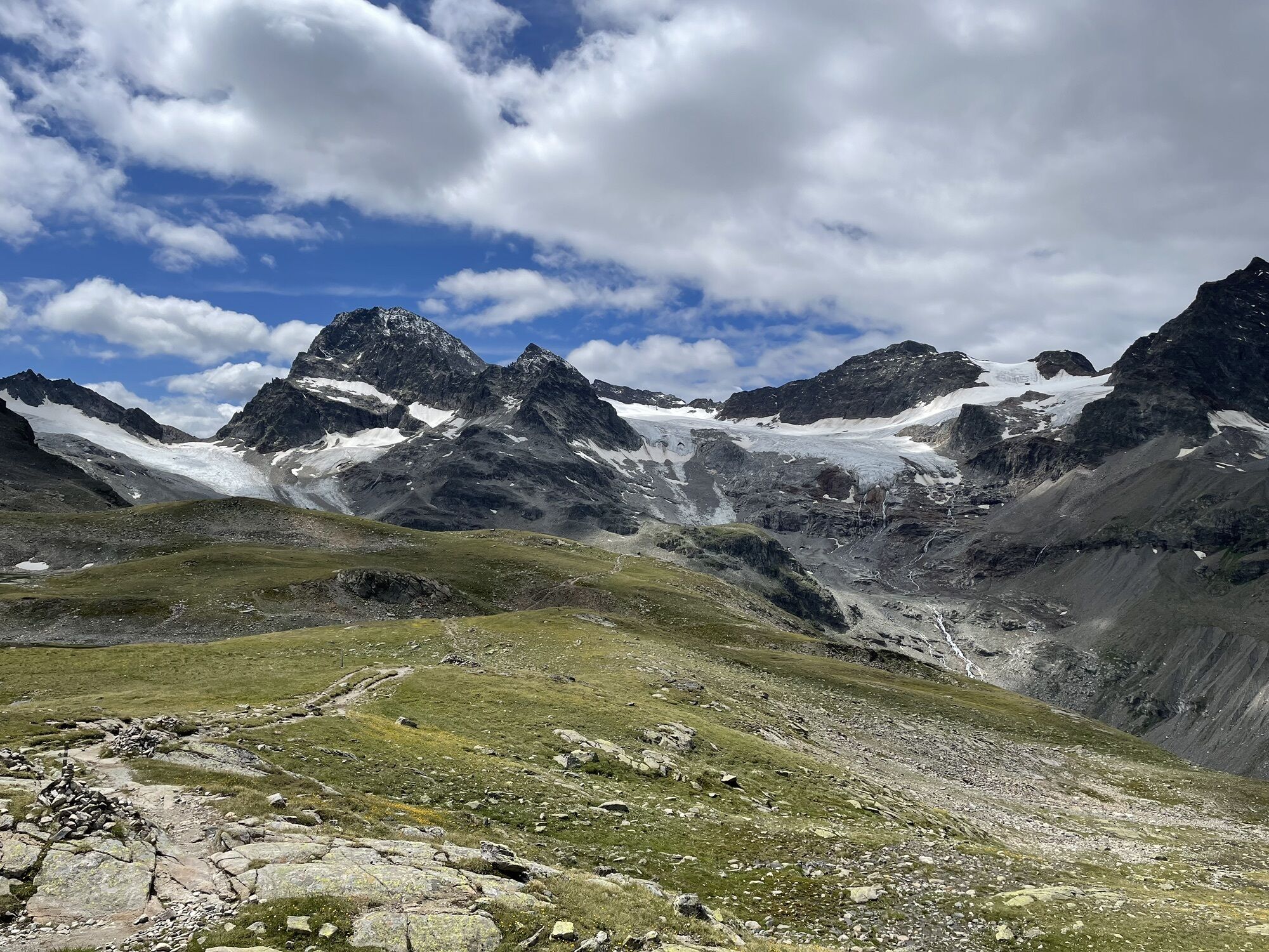
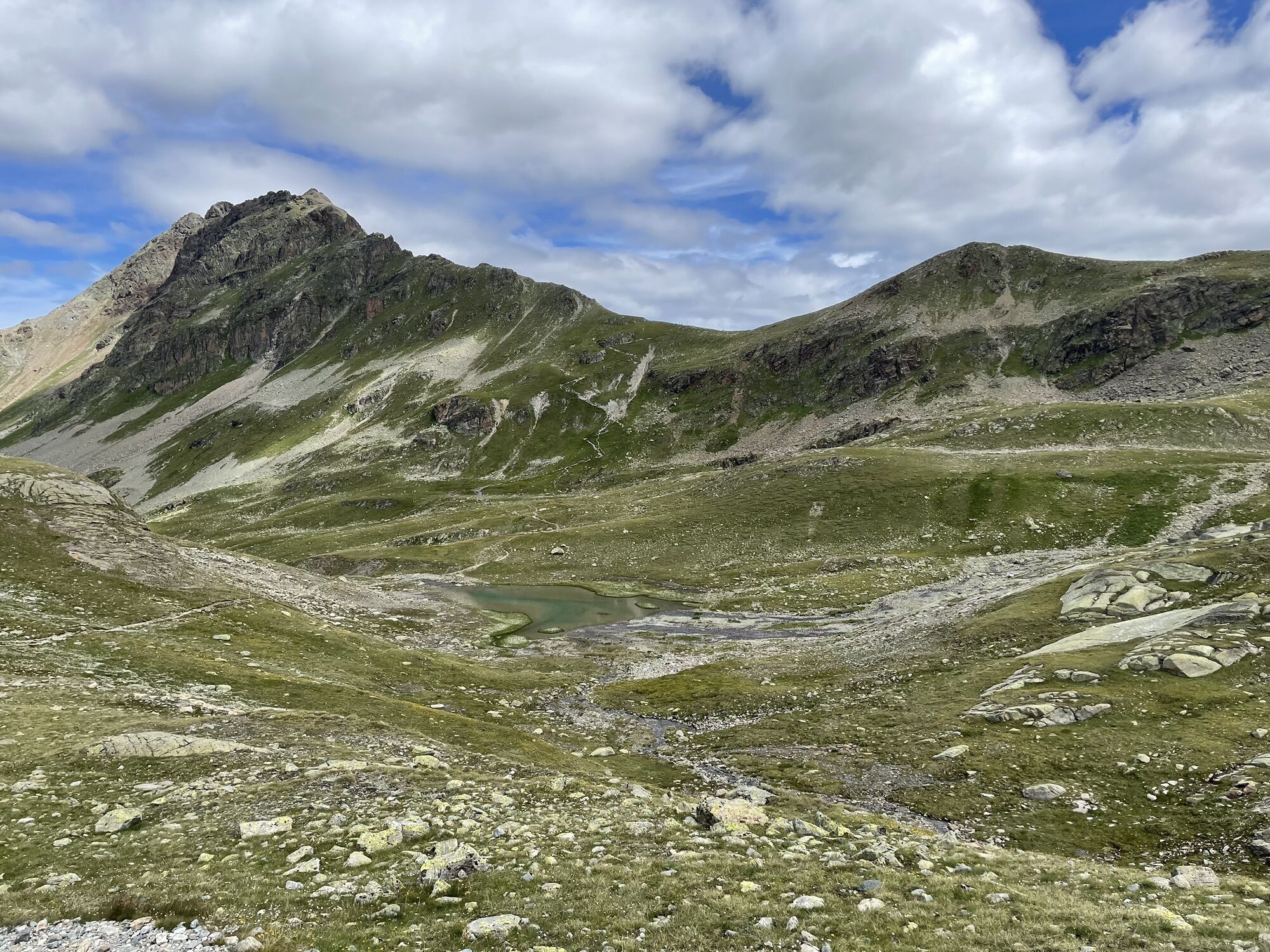
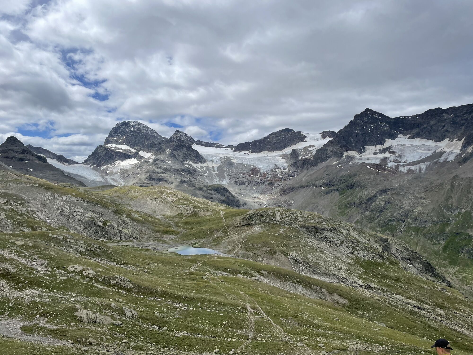
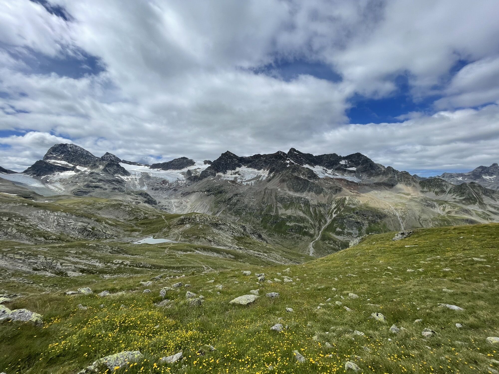
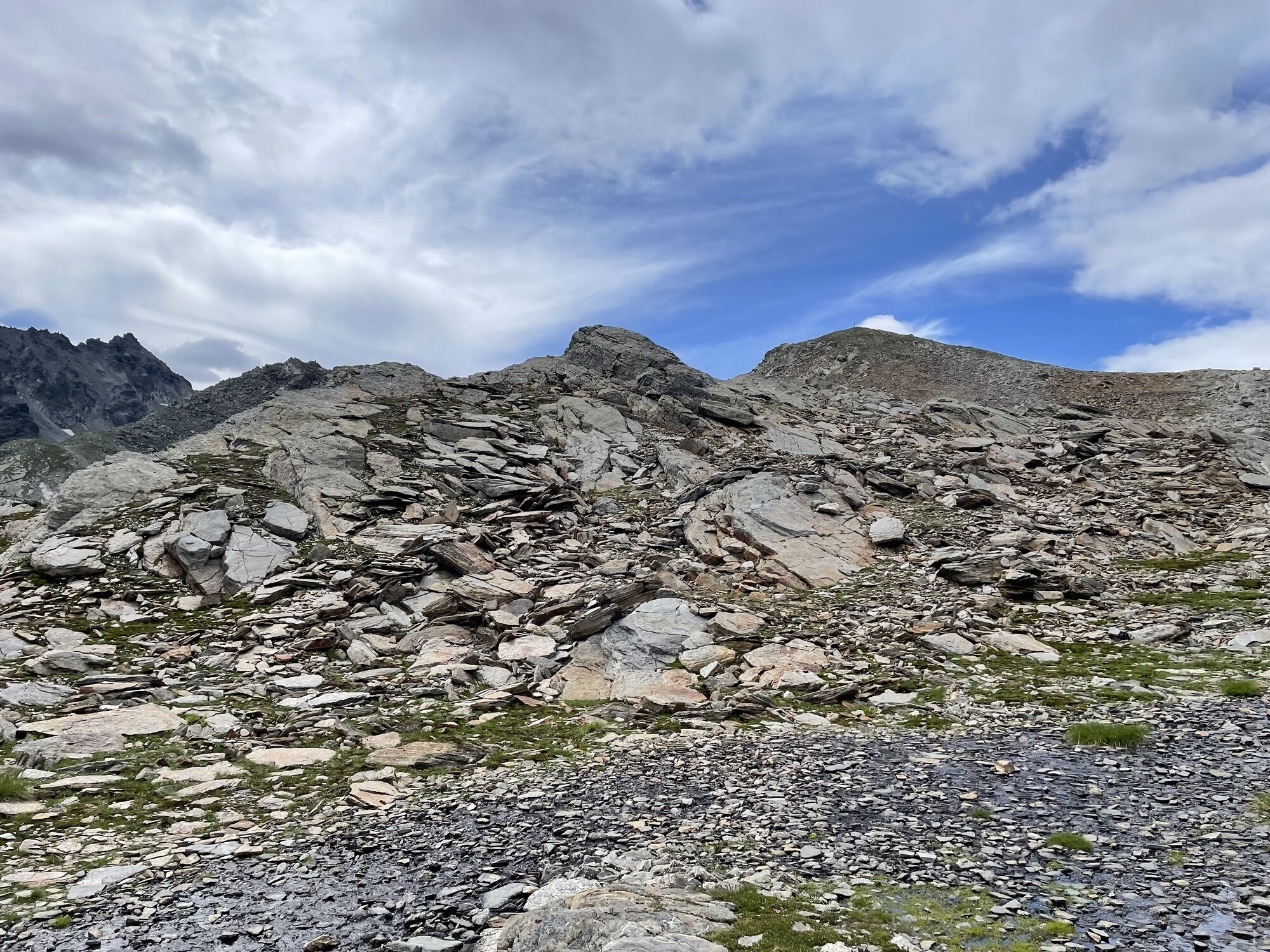
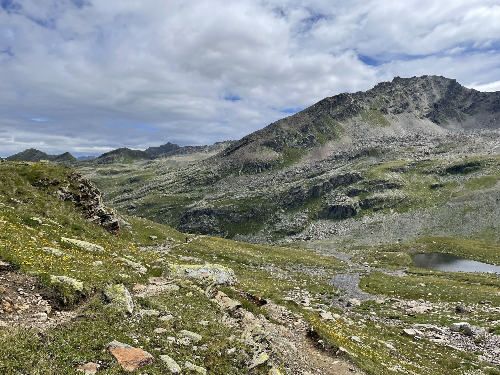
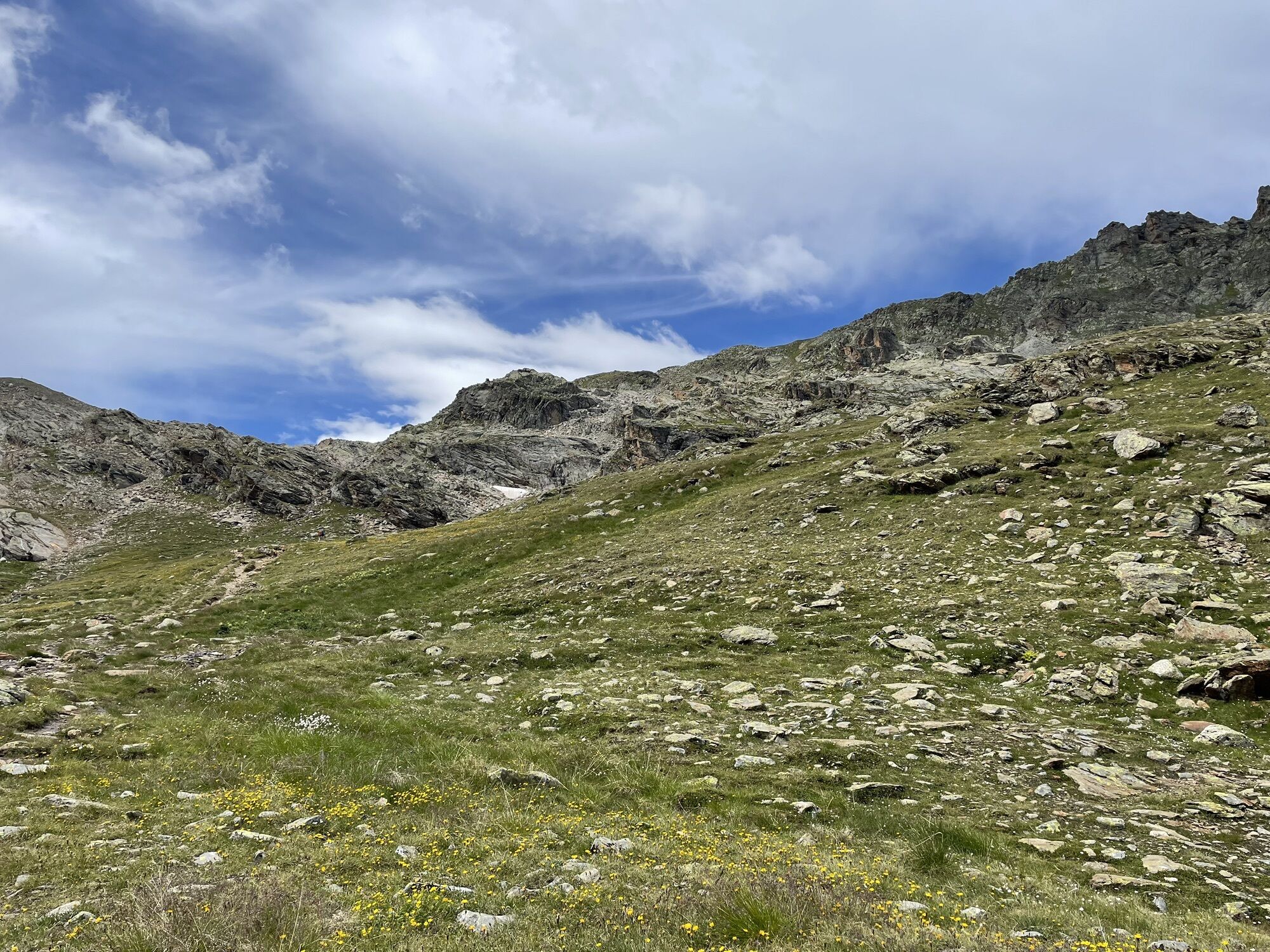
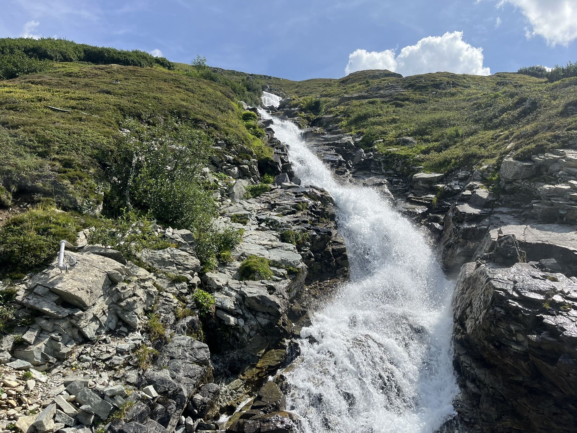
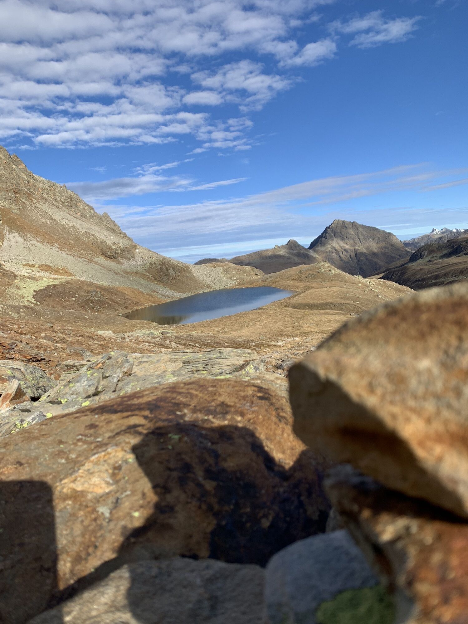
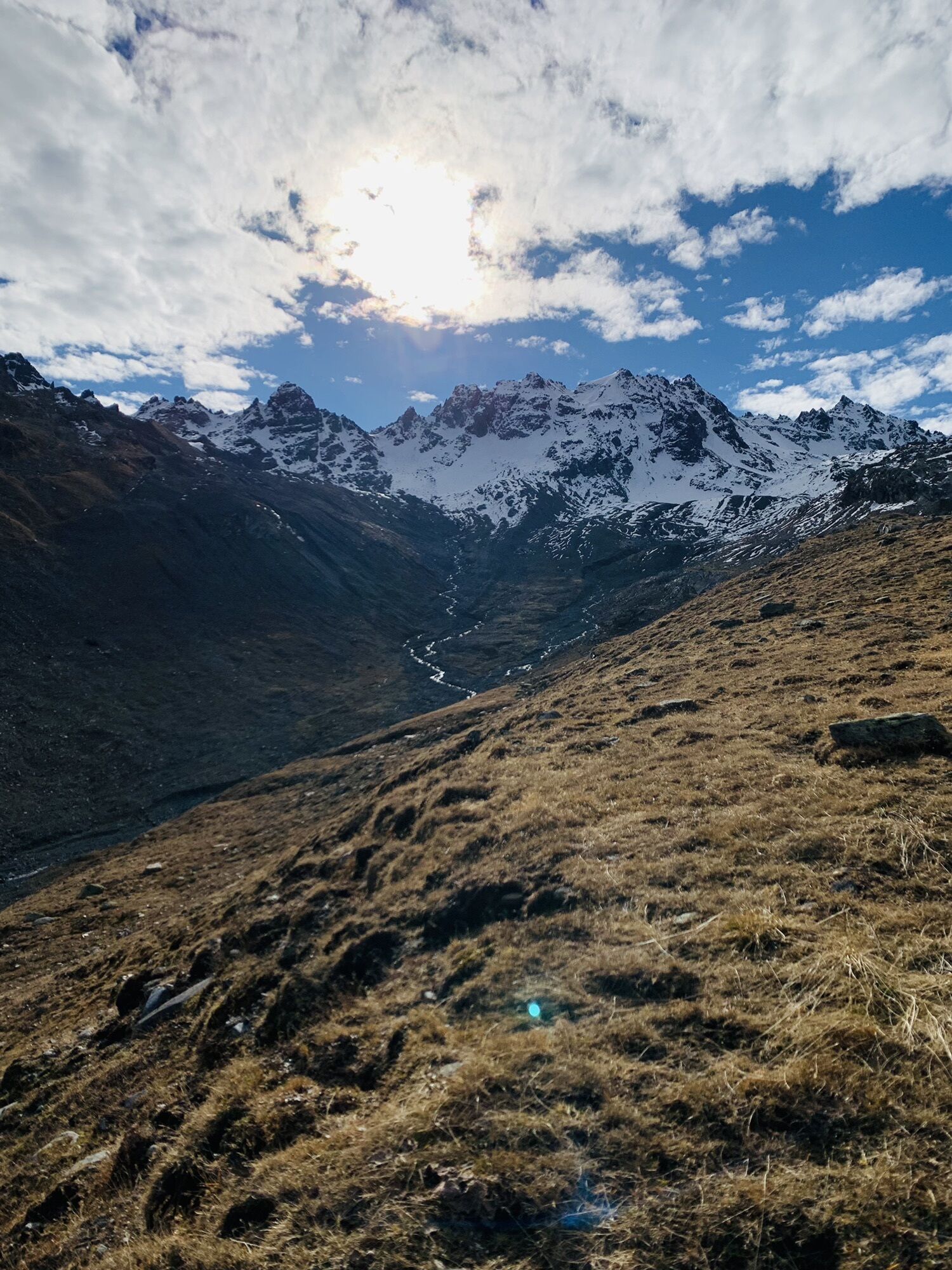
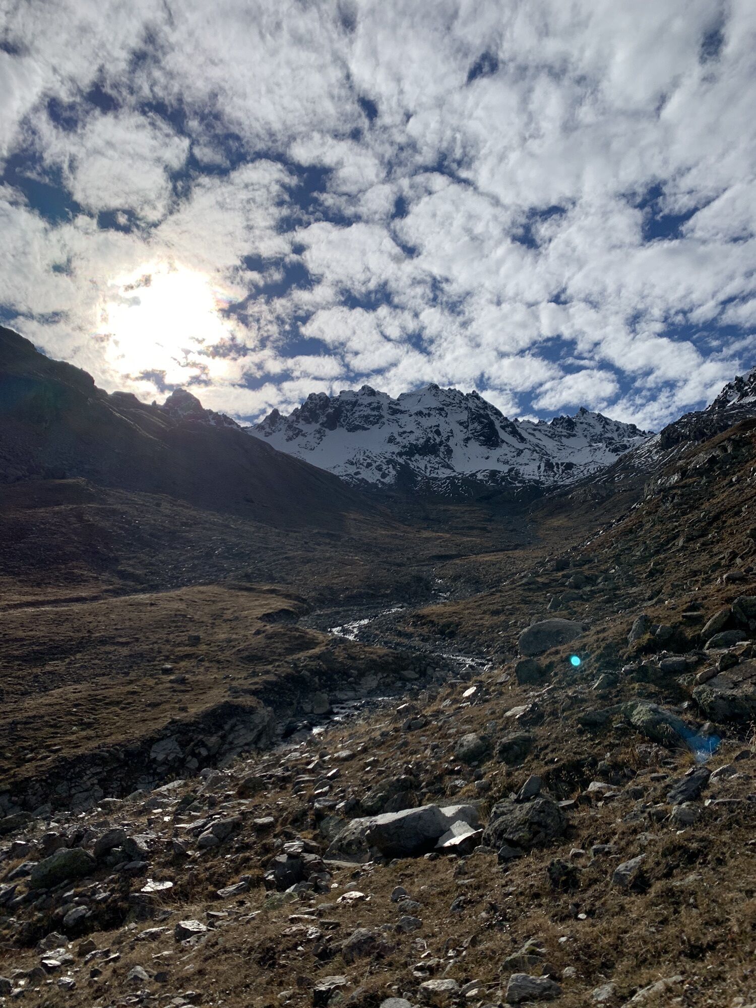
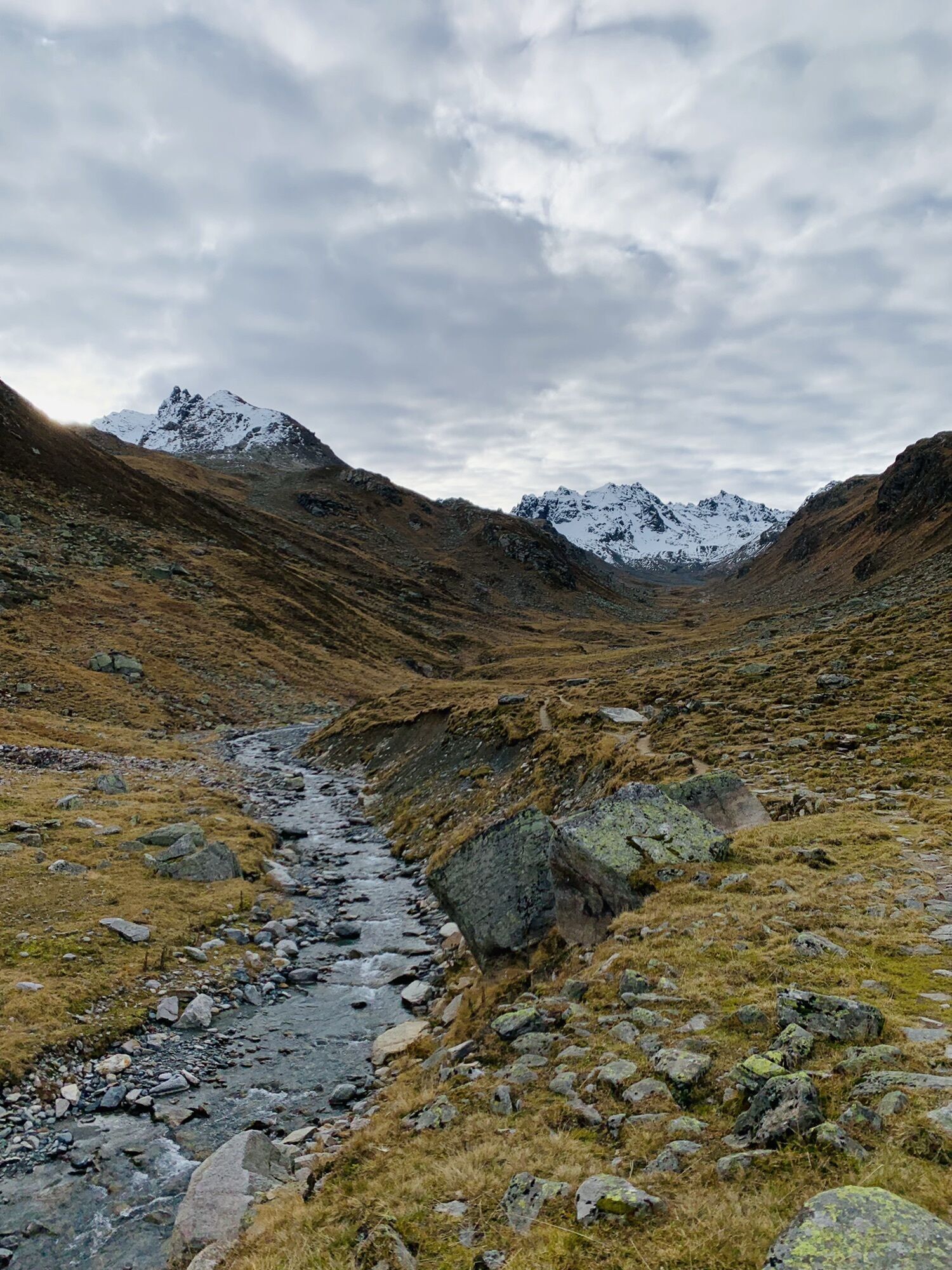
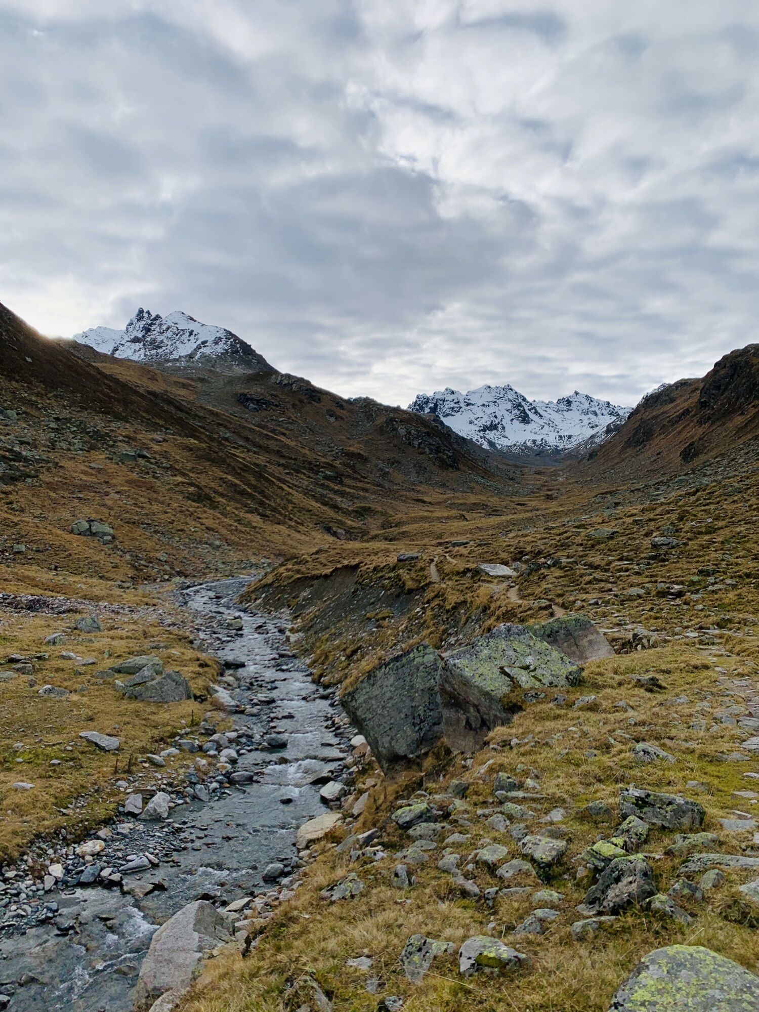
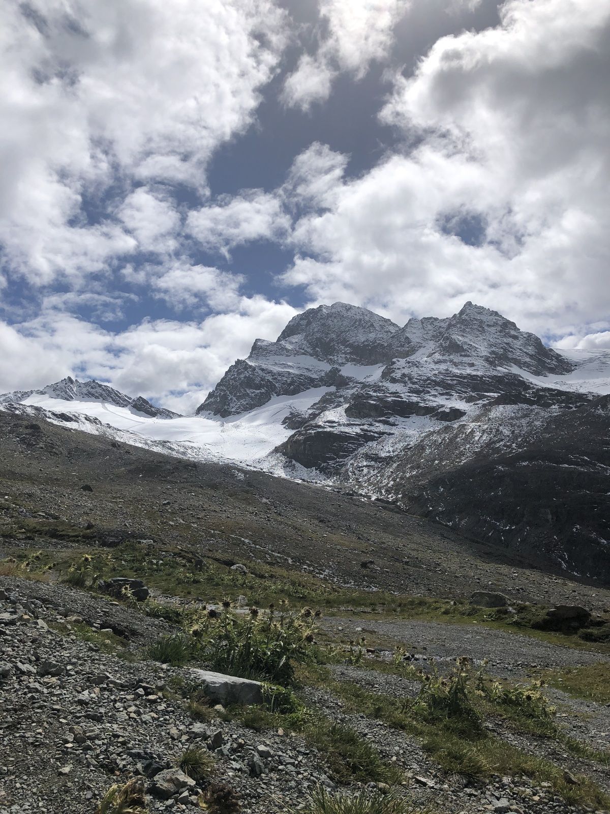
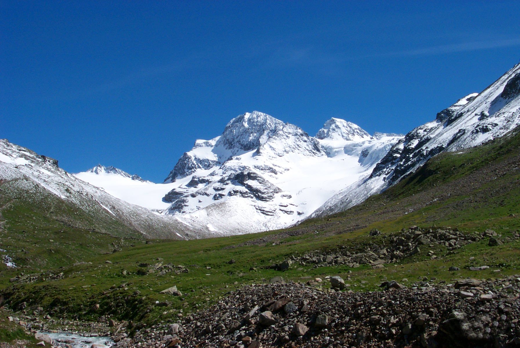
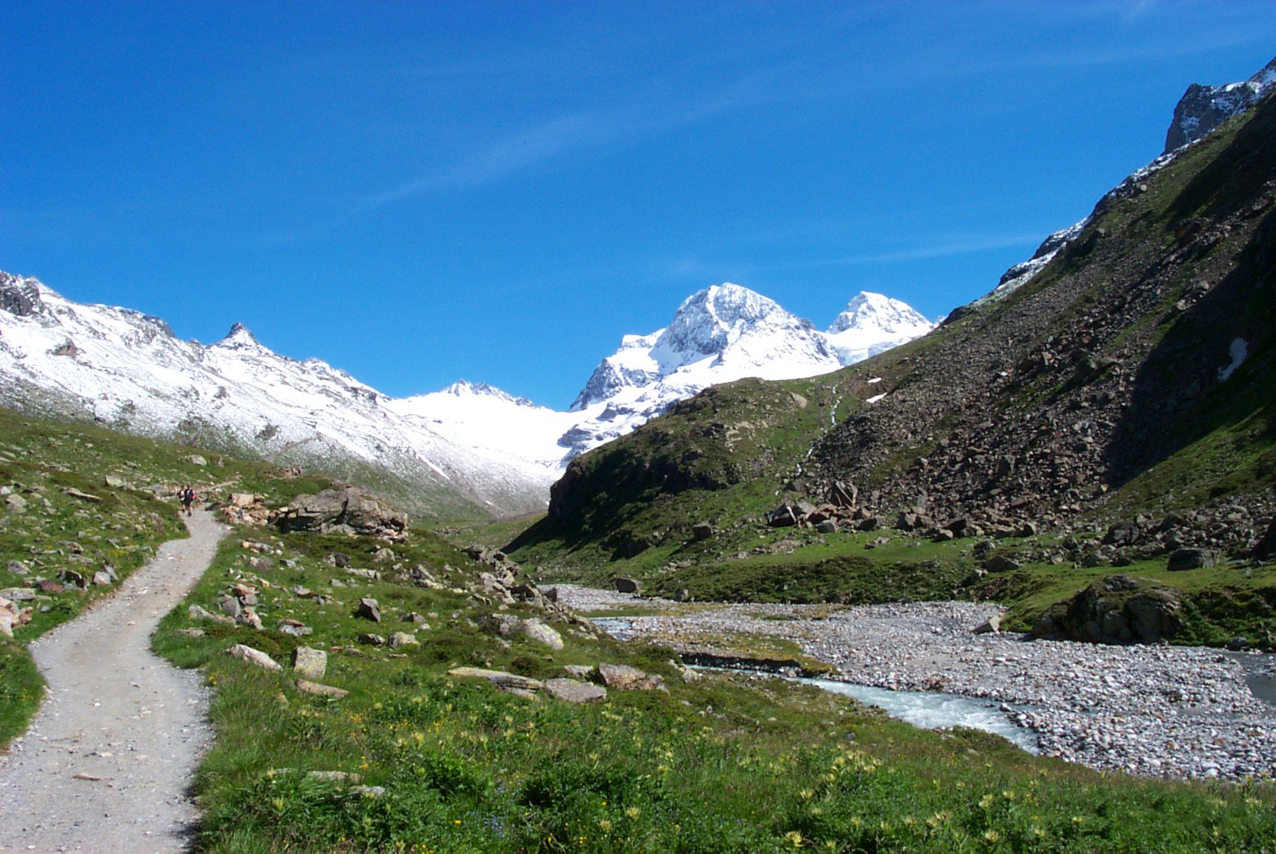
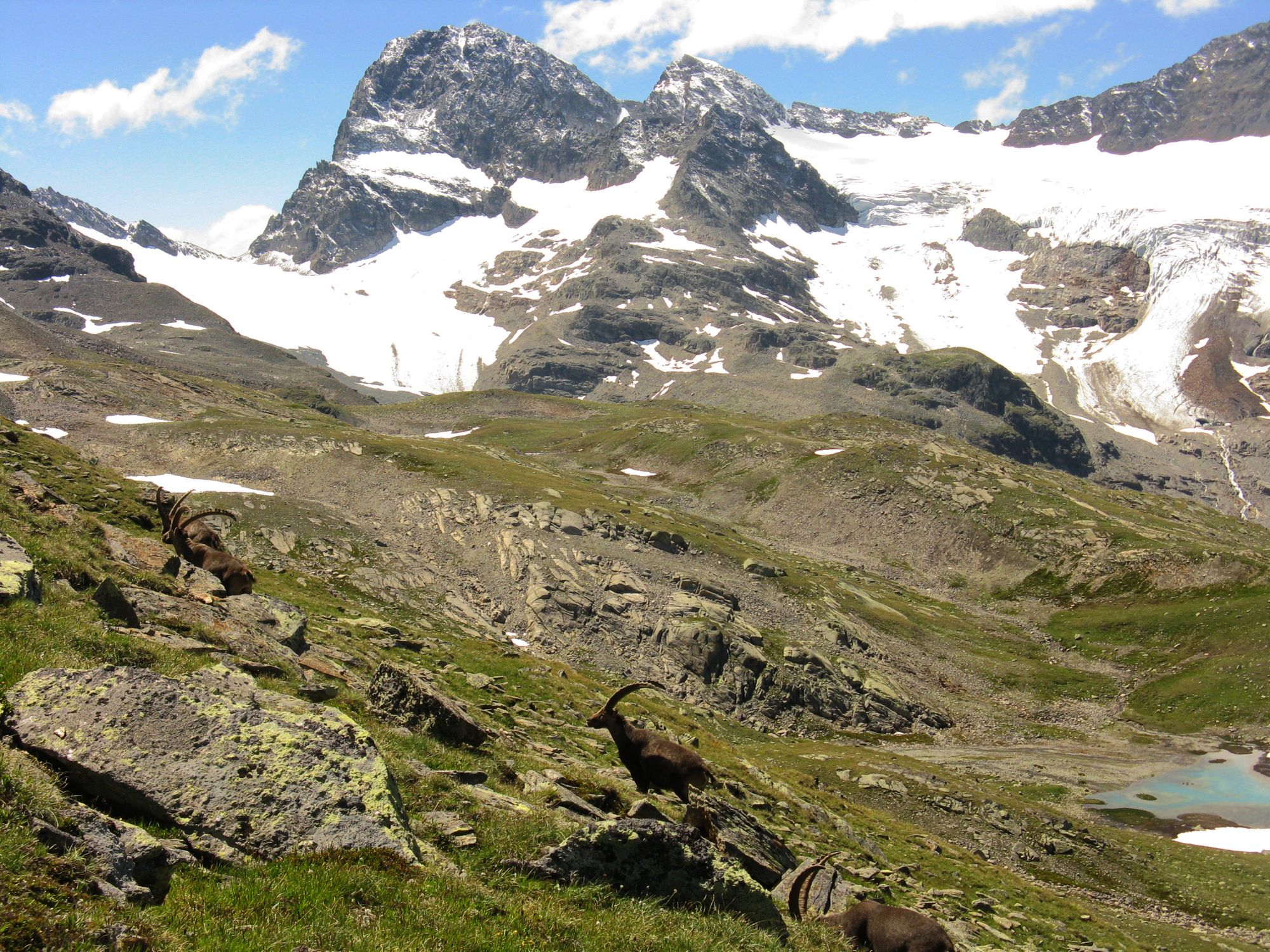
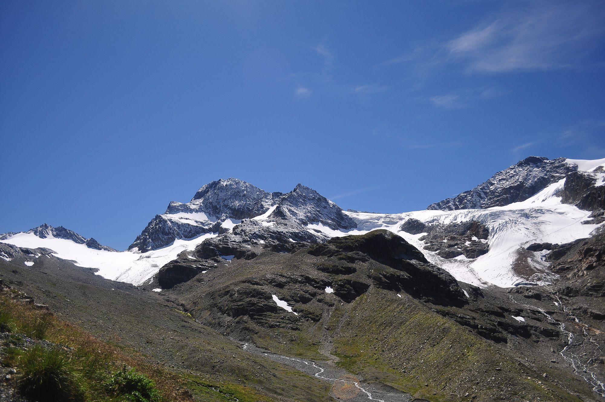
By car or by bus (toll) to Bielerhöhe. The route proceeds left here along the reservoir dam until just before the end, at the signpost, a wide hiking trail branches off to the left and proceeds with a moderate incline into Bieltal. Follow the path up to the beginning of the stream and continue via a narrowhiking trail. The ascent then proceeds in hairpin bends to Radsattel (2,652 m), and afterwards heads downhill again until you reach Wiesbadener Hütte. Here an impressive mountain panorama opens up for you: on one side the icefall of Ochsental Glacier rises up above you, on the other Piz Buin (3,312 m), Silvrettahorn (3,244 m) and Schneeglocke (3,223 m) are impressive with their breathtaking high rocky cliffs. Return section: Via the road back to Bielerhöhe. Within a few minutes by car or bus you are back in the village Galtür.


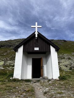
Wiesbadener Hütte, Gasthof Piz Buin, Restaurant Silvrettasee
TVB Paznaun-Ischgl Infobüro Galtür
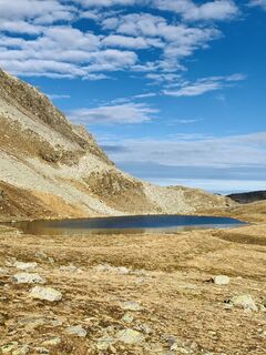
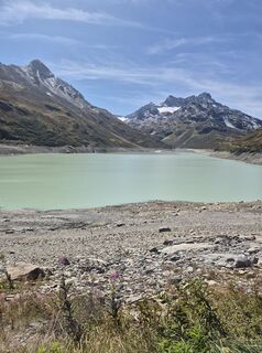
Silvrettastausee
Aktivity počas prehliadky
-

Gaschurn, Vorarlberg/Österreich
14.09.2025 – Turistika -
Silveretta w drodze na Piz Buin, Vorarlberg/Österreich
06.09.2025 – Turistika -
Gaschurn, Vorarlberg/Österreich
06.09.2025 – Turistika -
Gaschurn, Vorarlberg/Österreich
27.08.2025 – Turistika -

Gaschurn, Vorarlberg/Austria
24.08.2025 – Turistika -

Gaschurn, Vorarlberg/Österreich
23.08.2025 – Turistika -
Bielerhöhe Piz Buin
18.07.2025 – Turistika -
Gaschurn, Vorarlberg/Österreich
30.08.2024 – Turistika -

Madlenerhaus, Vorarlberg/Österreich
18.07.2020 – Turistika
Obľúbené výlety v okolí
-
4,8
Heilbronner lodge
strednáTuristika 13,0 km -
4,4
Madrisella summit path
strednáTematická trasa 10,8 km -
5,0
Menta Alm - Scheibenalm
svetloTuristika 11,4 km -
2,8
Bielerhöhe and circular hike around the Silvretta reservoir
strednáTuristika 13,1 km -
4,7
Jamtal lodge
strednáTuristika 19,6 km -
5,0
Wiegensee-Kopssee
strednáTuristika 8,17 km -
4,4
Vom Kopssee zur Breitspitze Gemeinde Gaschurn, Vorarlberg/Österreich
strednáTuristika 12,5 km -
5,0
Großer Piz Buin (3.312m), Normalweg 2019 über Ochsentaler Gletscher
ťažkéVysoké turné 24,1 km -
4,3
Sonnenkogel - Friedrichshafener lodge
strednáTuristika 13,2 km -
5,0
Wiegenseeweg
strednáTematická trasa 12,7 km
Turistika a stopovanie


Nenechajte si ujsť ponuky a inšpiráciu na ďalšiu dovolenku
Vaša e-mailová adresa bol pridaný do poštového zoznamu.