


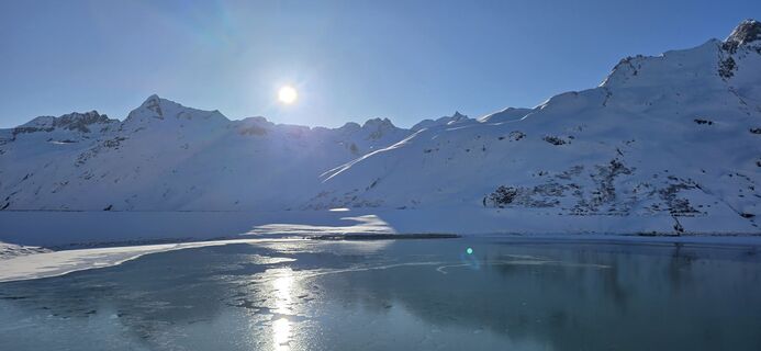
Bielerhöhe and circular hike around the Silvretta reservoir
Fotografie našich používateľov
-
 © Clemens KaminskiVytvorené dňa 20.03.2026
 -
 © Clemens KaminskiVytvorené dňa 20.03.2026
 -
 © Clemens KaminskiVytvorené dňa 20.03.2026
 -
 © Clemens KaminskiVytvorené dňa 20.03.2026
 -
 © Stefan BonnesVytvorené dňa 07.09.2025
 -
 © Patrick SchiphorstVytvorené dňa 06.09.2025
 -
 © Patrick SchiphorstVytvorené dňa 06.09.2025
 -
 © Magnus MoserVytvorené dňa 14.02.2025
 -
 © Ralf UmmingerVytvorené dňa 25.09.2024
 -
 © Daniel HerzVytvorené dňa 30.08.2024
 -
 © Daniel HerzVytvorené dňa 30.08.2024
 -
 © Daniel HerzVytvorené dňa 30.08.2024
 -
 © Daniel HerzVytvorené dňa 30.08.2024
 -
 © Genoveva SVytvorené dňa 05.03.2026
 -
 © Petra WehrmannVytvorené dňa 04.03.2026
 -
 © Mark FreyVytvorené dňa 07.09.2025
 -
 © Mark FreyVytvorené dňa 07.09.2025
 -
 © bergmax69Vytvorené dňa 24.02.2025
 -
 © bergmax69Vytvorené dňa 24.02.2025
 -
 © bergmax69Vytvorené dňa 24.02.2025
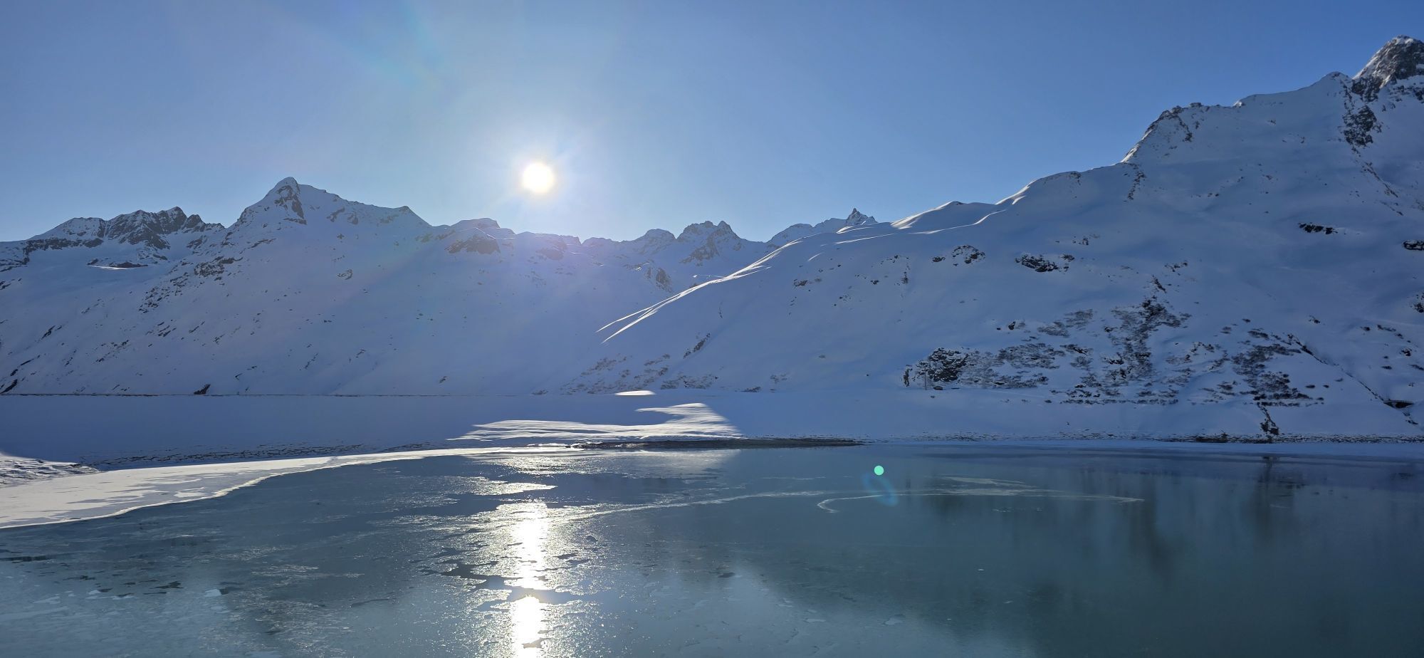
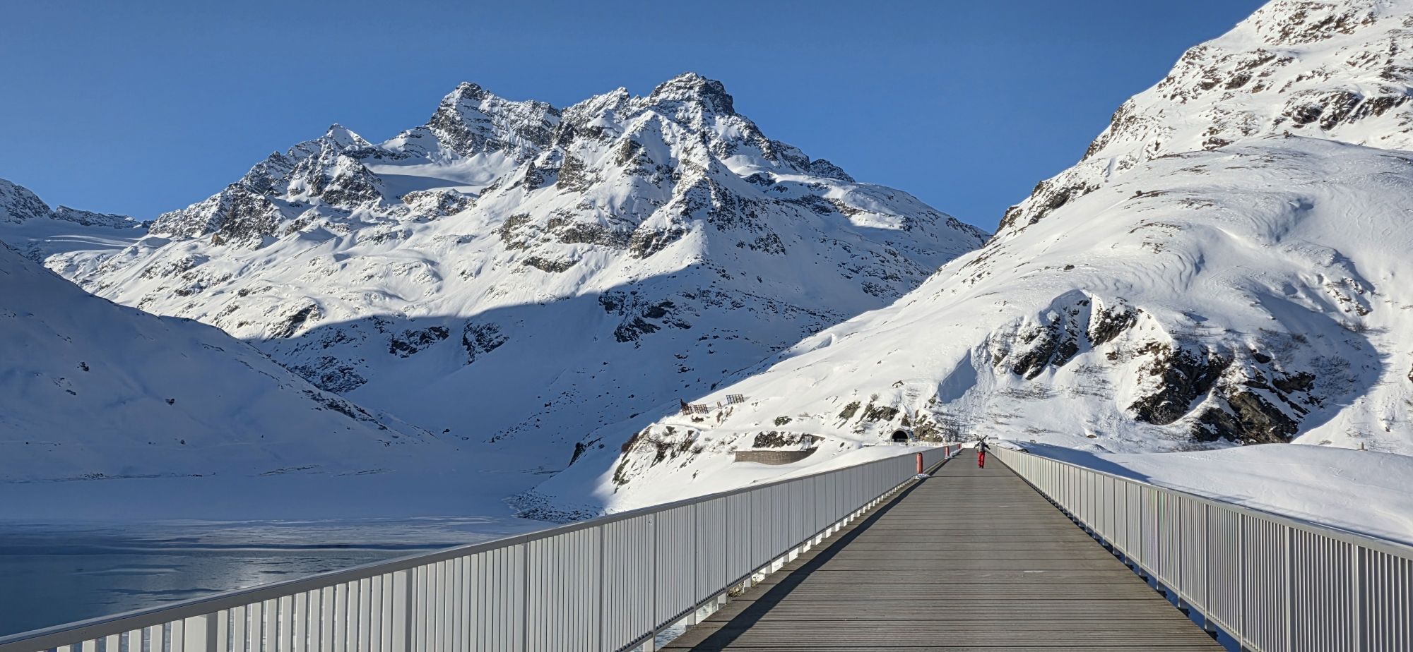
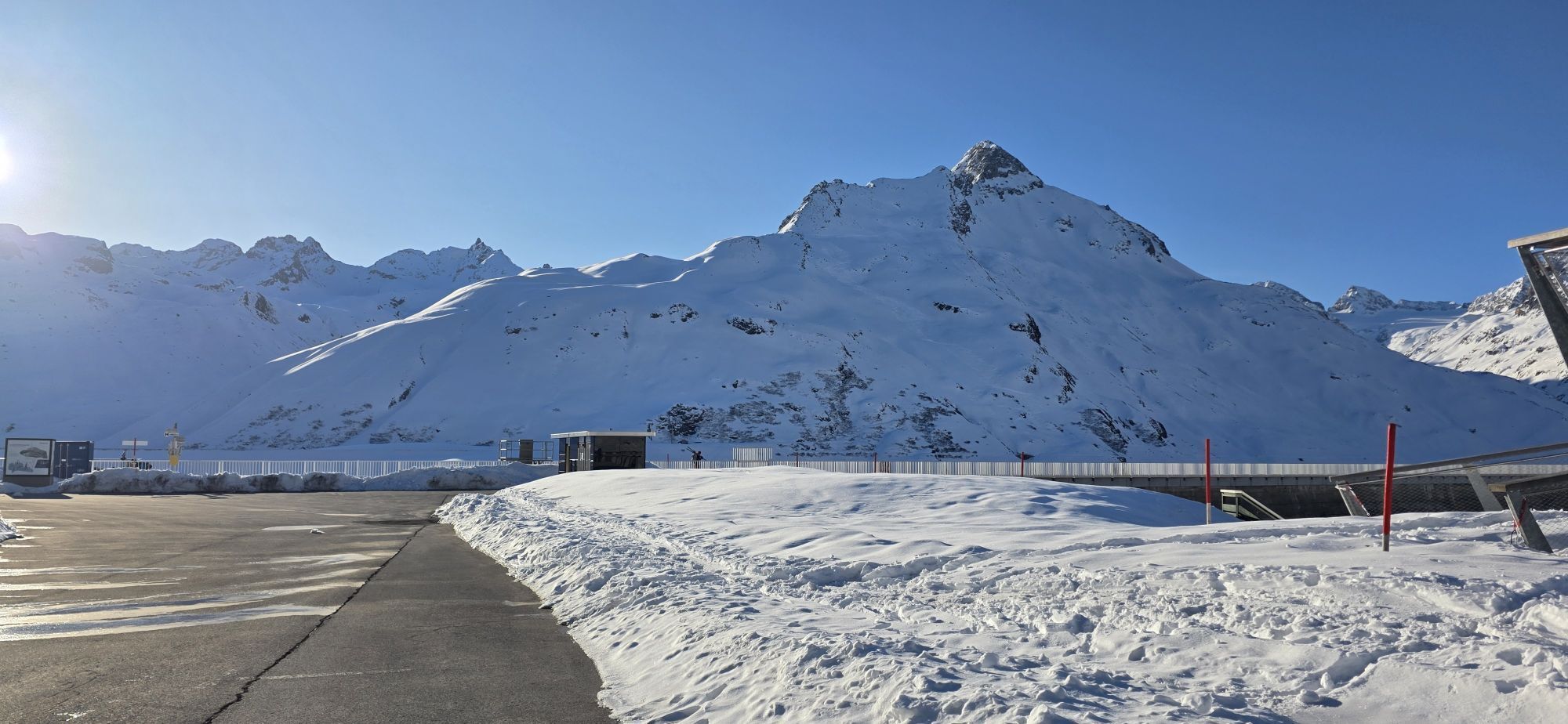


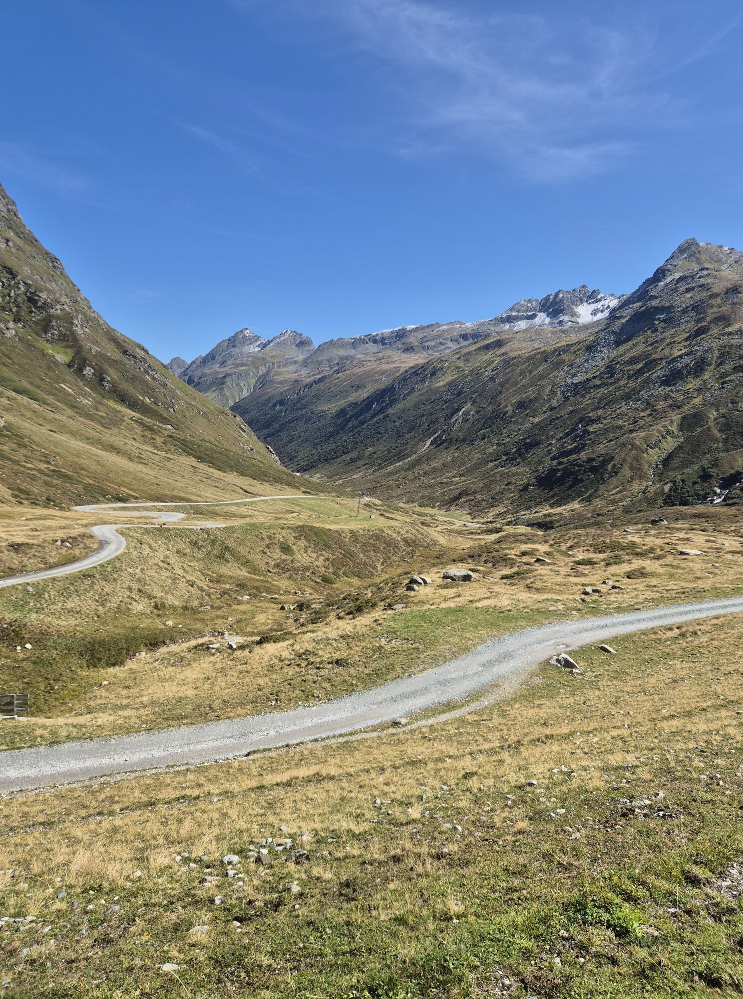


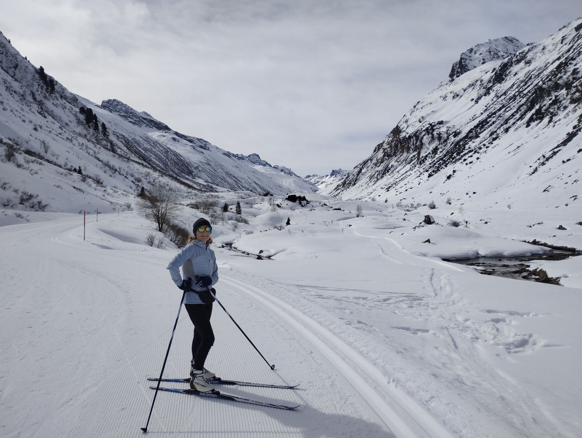
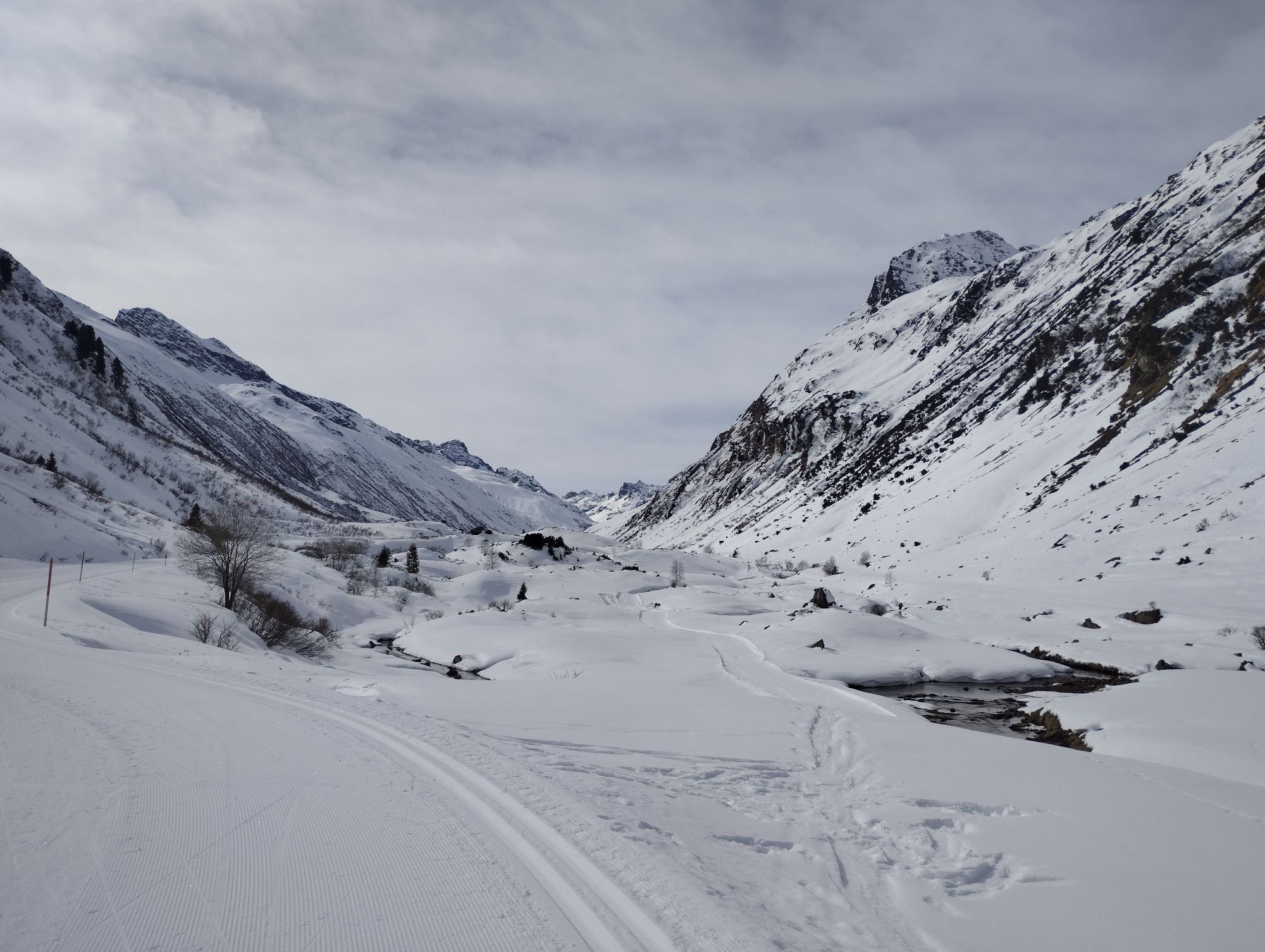
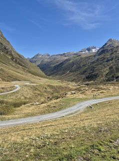
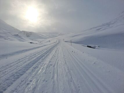
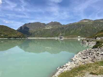
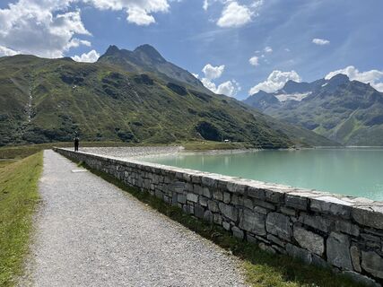
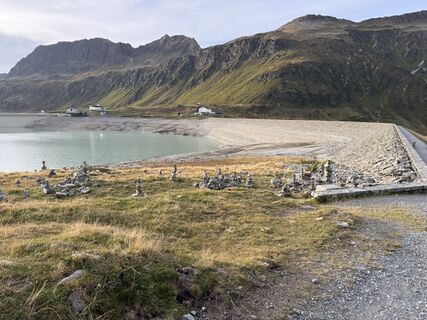
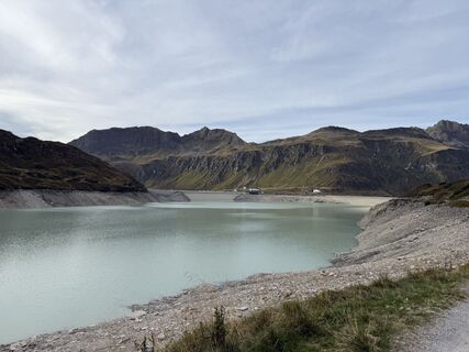
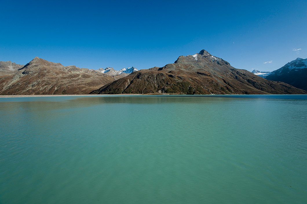
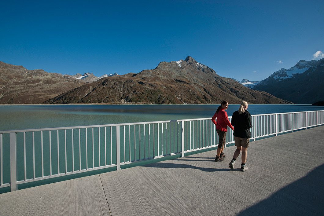
By car (toll-free) or bus you get to the parking ground just before the new toll area. There you cross the bridge and follow the gravel path up to Bieler höhe/Silvretta reservoir. The circular hike along...
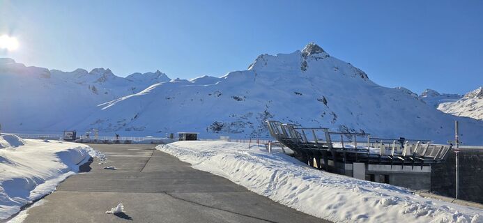
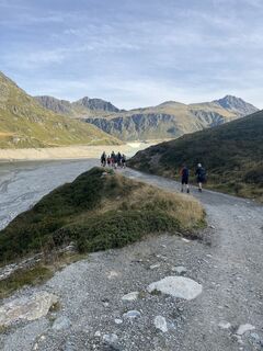
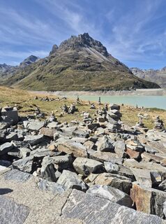
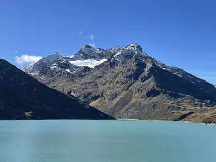
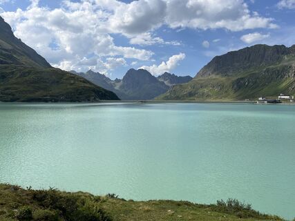
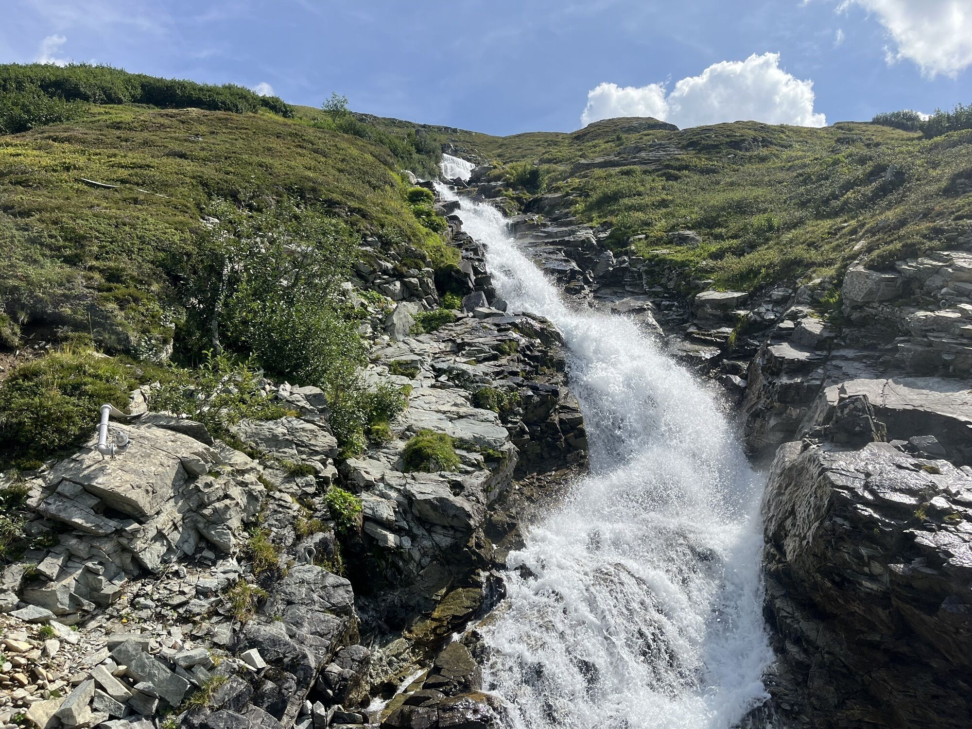
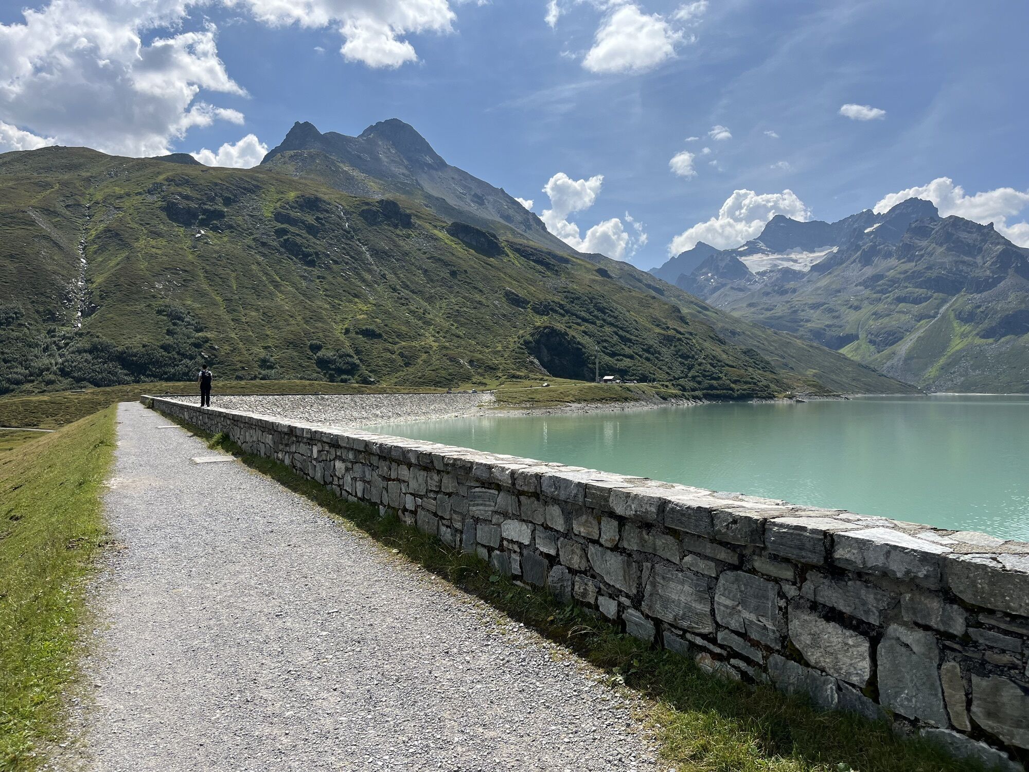
By car (toll-free) or bus you get to the parking ground just before the new toll area. There you cross the bridge and follow the gravel path up to Bieler höhe/Silvretta reservoir. The circular hike along the dam starts here, past the plummeting waterfalls of Bieltalbach, to the southern banks of the lake. Afterwards follow the west bank back until you get to Bielerhöhe. Enjoy the fantastic panoramic view to the famous andmajestic Piz Buin 3,312 metres. Return section: You can get back to Galtür in comfort on the bus; or you might prefer to choose to walk the same route back.


Gasthof Piz Buin, Seerestaurant
TVB Galtür
Áno
From Galtür you get by car or bus to the parking ground just before the new toll area
Birkhahnbahn Galtür, parking ground just before the toll area
Webové kamery z prehliadky


Obľúbené výlety v okolí
-
4,8
Hiking trail Piz Buin - view
strednáTuristika 14,4 km -
4,8
Heilbronner lodge
strednáTuristika 13,0 km -
4,4
Madrisella summit path
strednáTematická trasa 10,8 km -
5,0
Menta Alm - Scheibenalm
svetloTuristika 11,4 km -
4,7
Jamtal lodge
strednáTuristika 19,6 km -
5,0
Wiegensee-Kopssee
strednáTuristika 8,17 km -
4,4
Vom Kopssee zur Breitspitze Gemeinde Gaschurn, Vorarlberg/Österreich
strednáTuristika 12,5 km -
5,0
Großer Piz Buin (3.312m), Normalweg 2019 über Ochsentaler Gletscher
ťažkéVysoké turné 24,1 km -
4,3
Sonnenkogel - Friedrichshafener lodge
strednáTuristika 13,2 km -
5,0
Wiegenseeweg
strednáTematická trasa 12,7 km
Turistika a stopovanie


Nenechajte si ujsť ponuky a inšpiráciu na ďalšiu dovolenku
Vaša e-mailová adresa bol pridaný do poštového zoznamu.