






Uina-Bernina Bike Tour Stage 1: Scuol – Sta. Maria

Úroveň náročnosti: S3
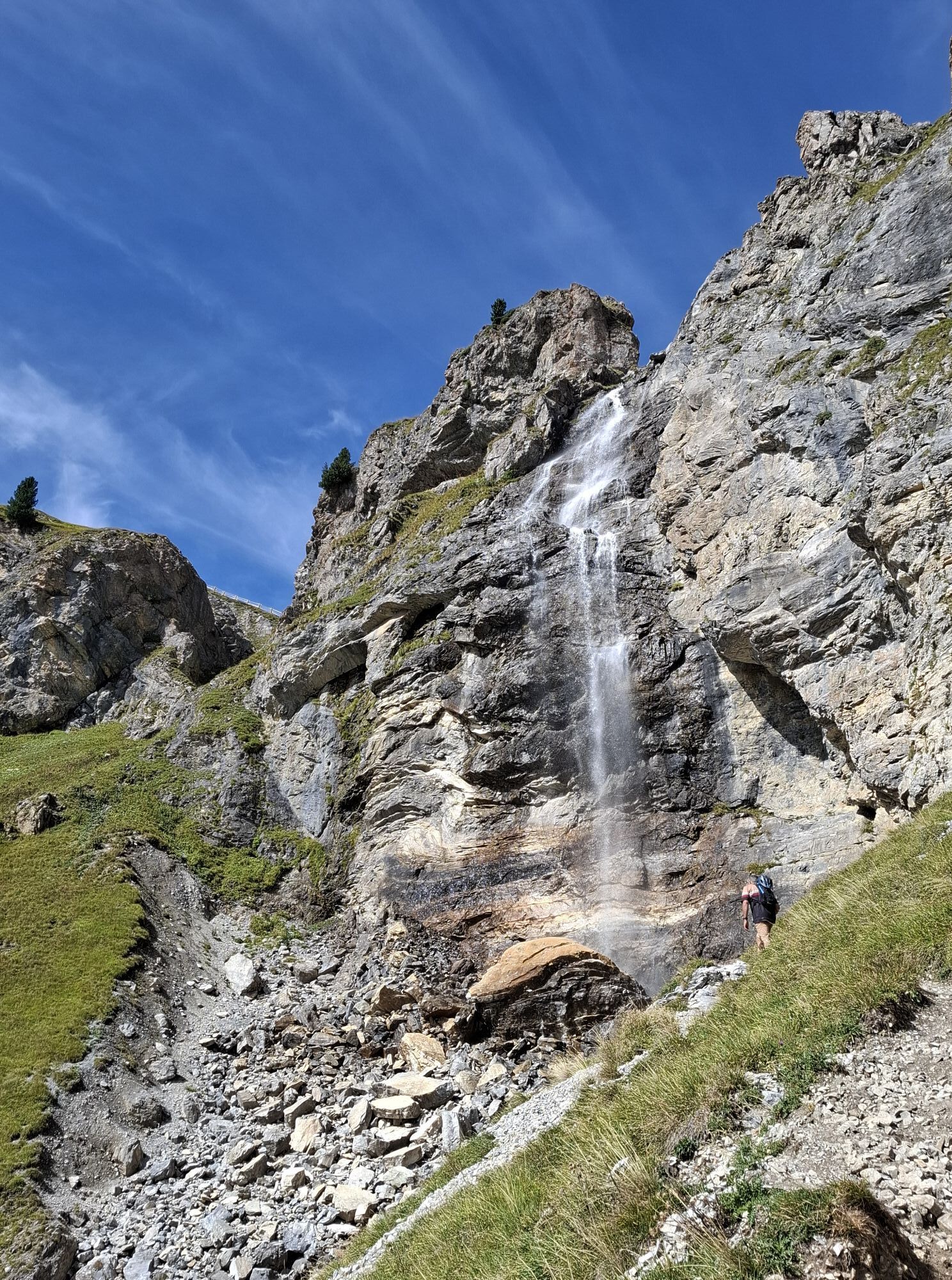
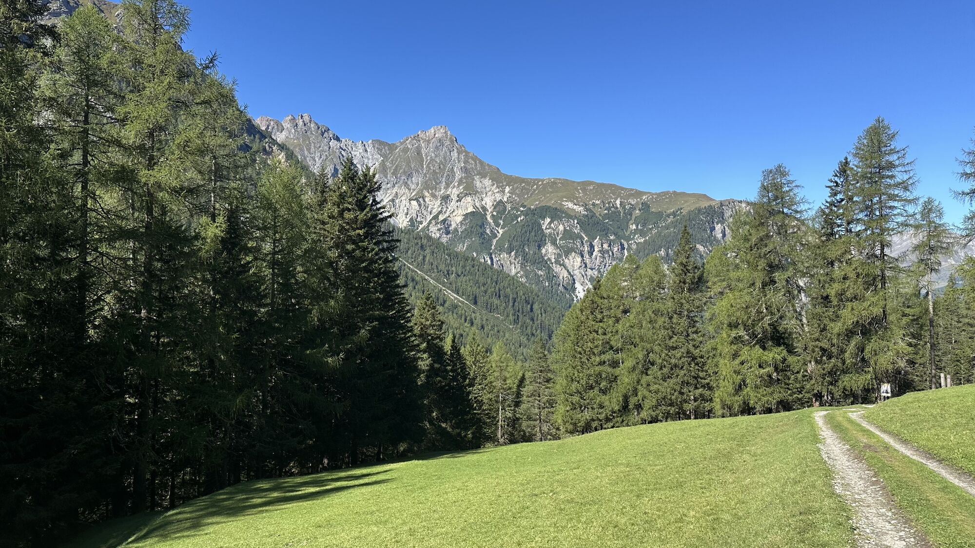
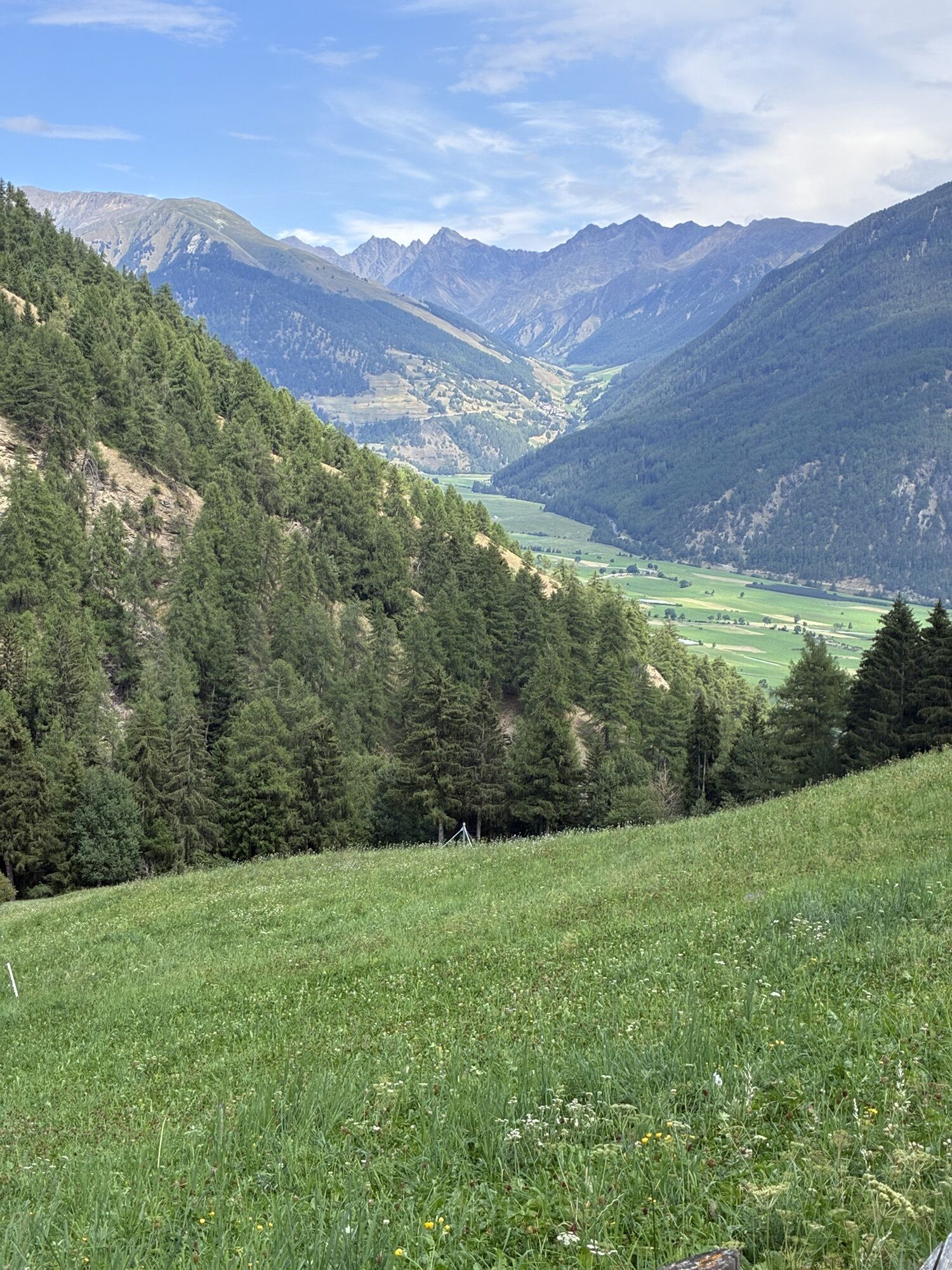
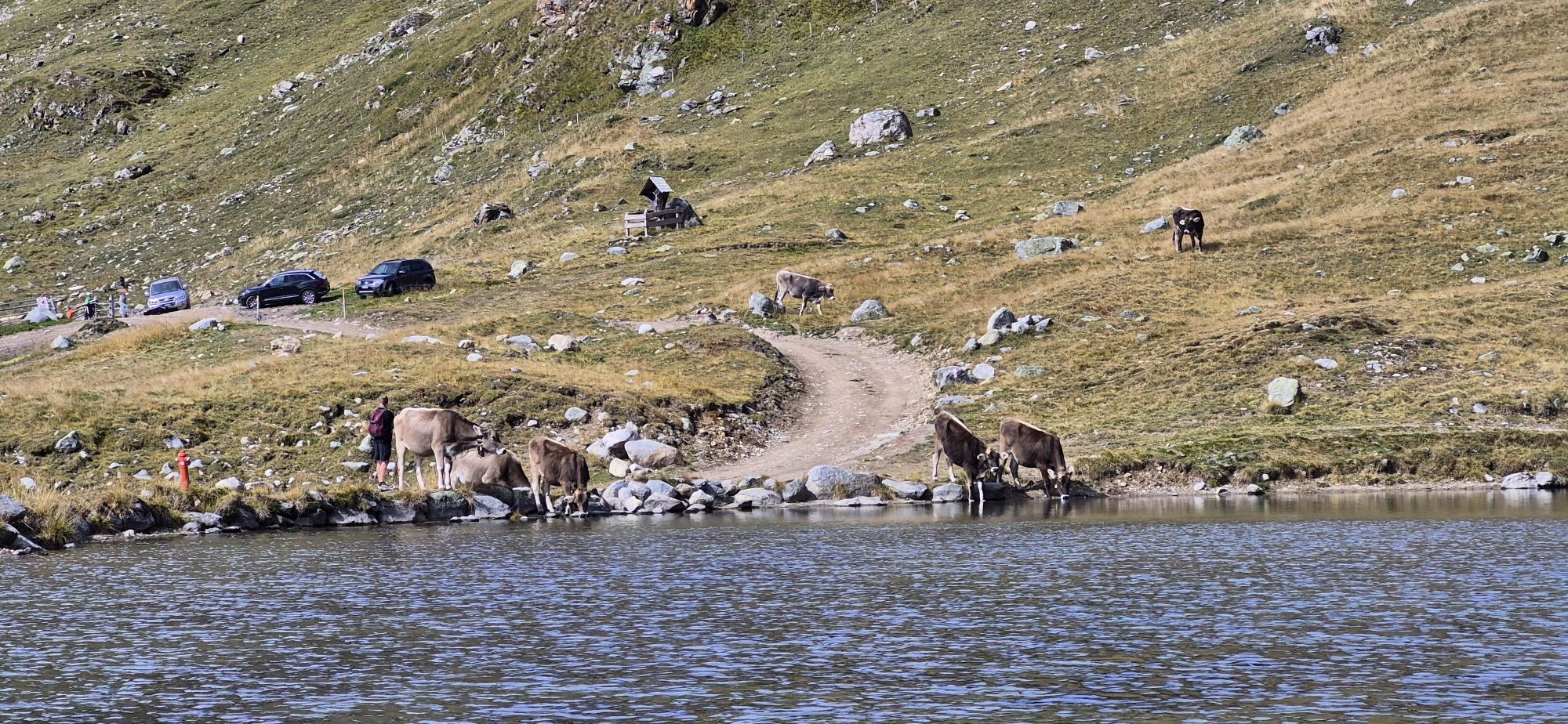
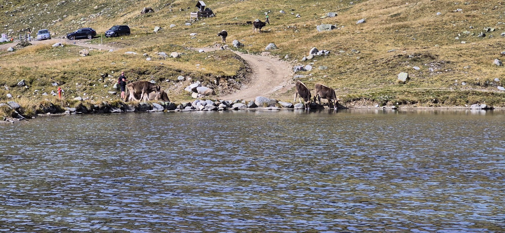
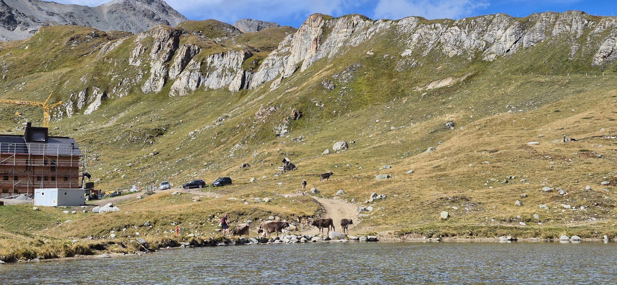
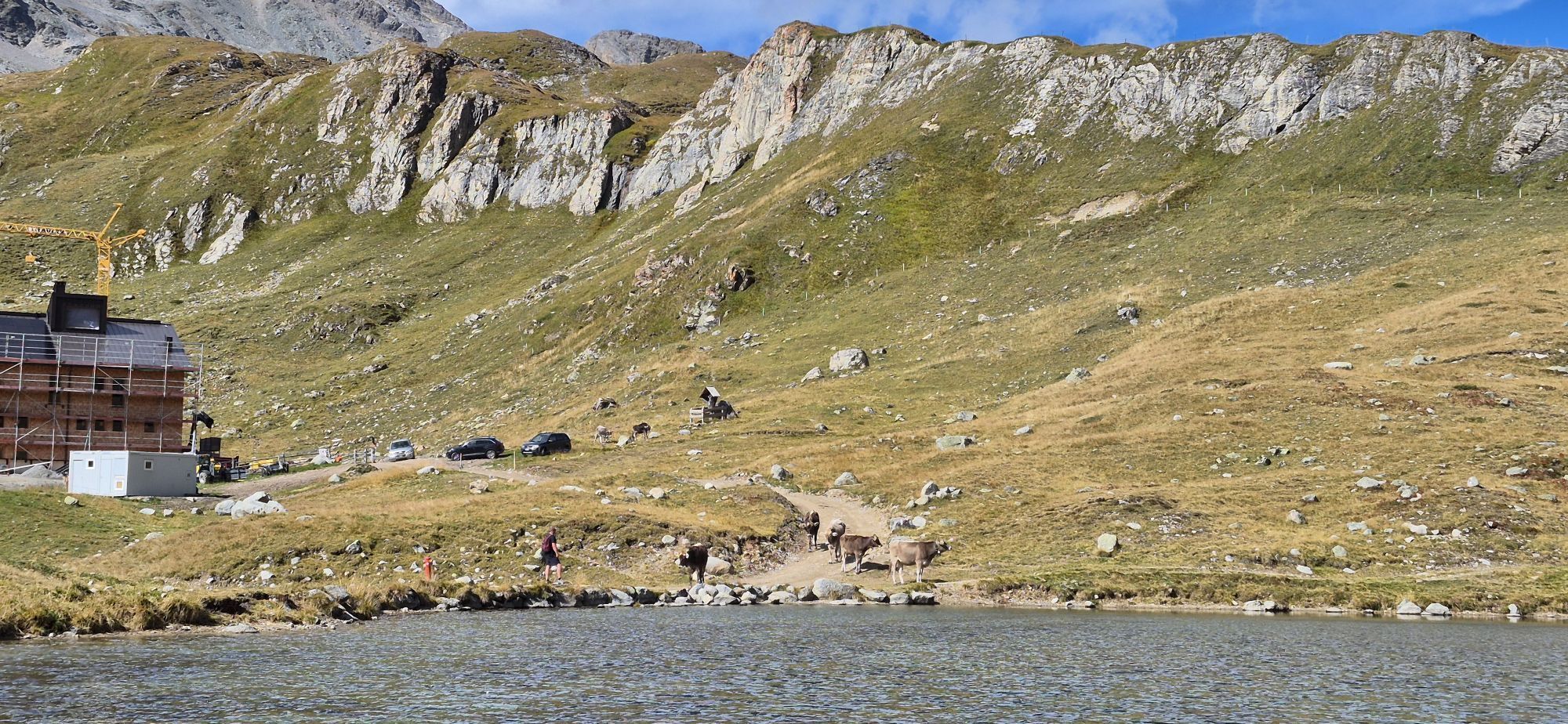
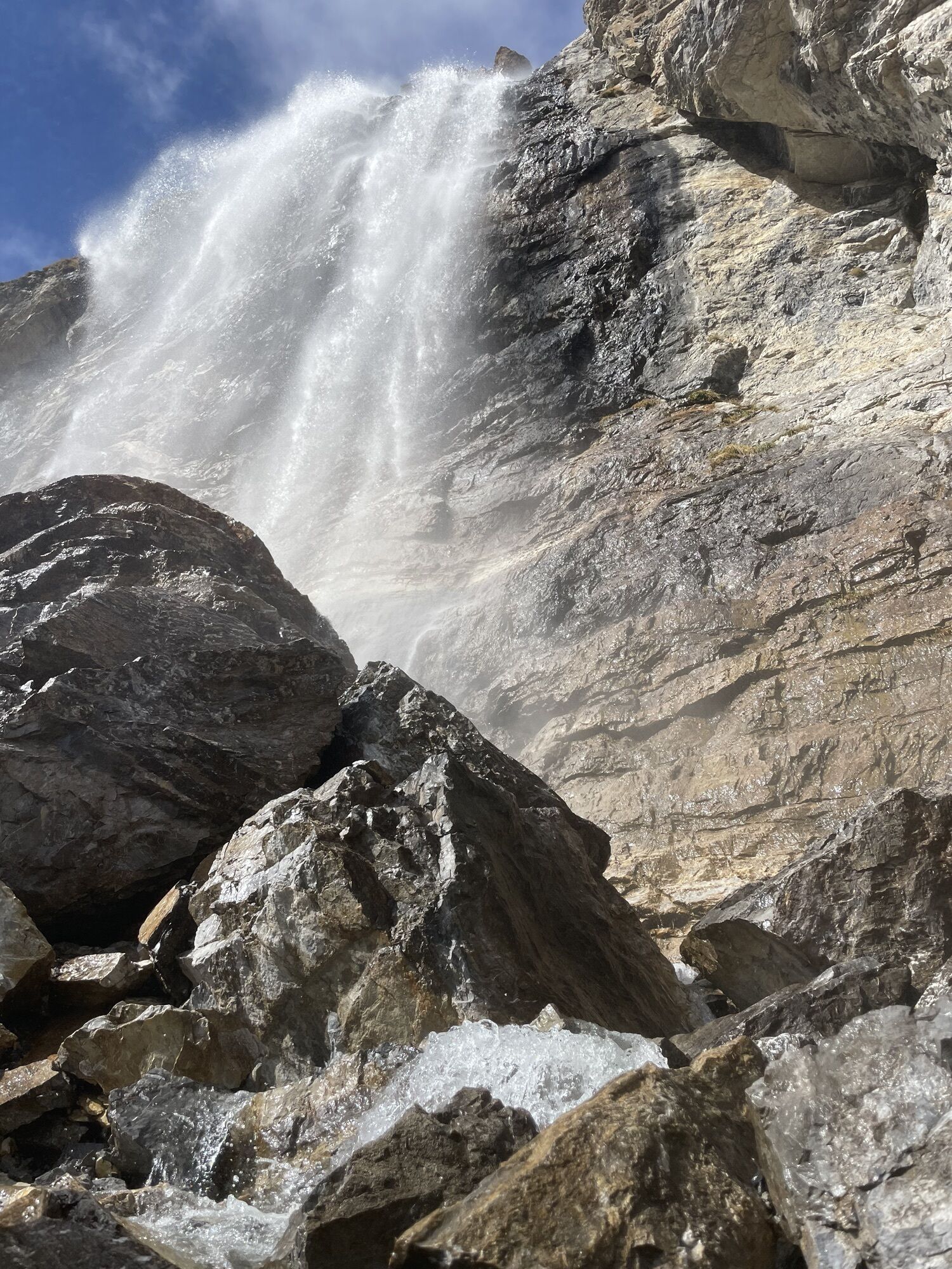
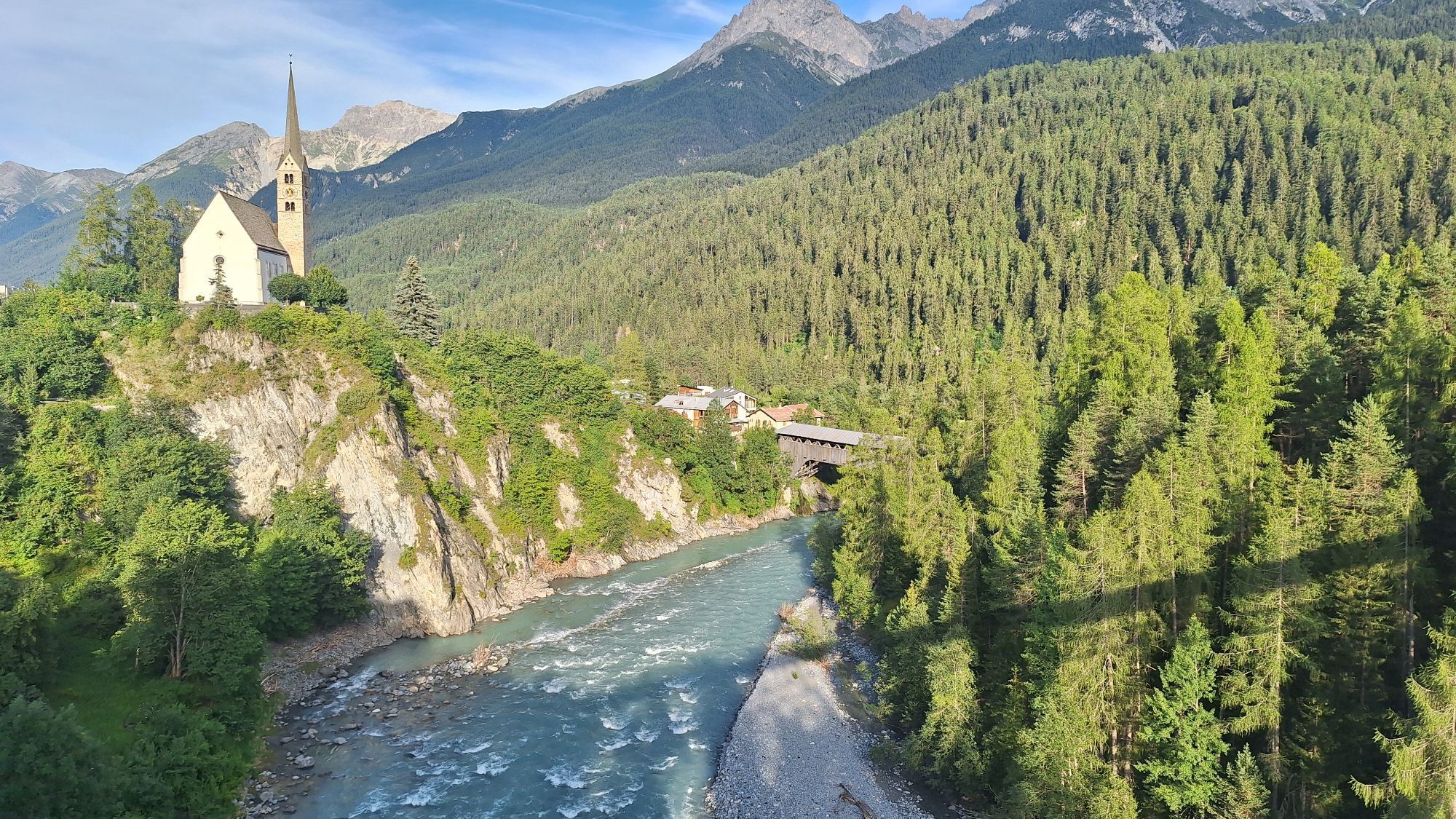
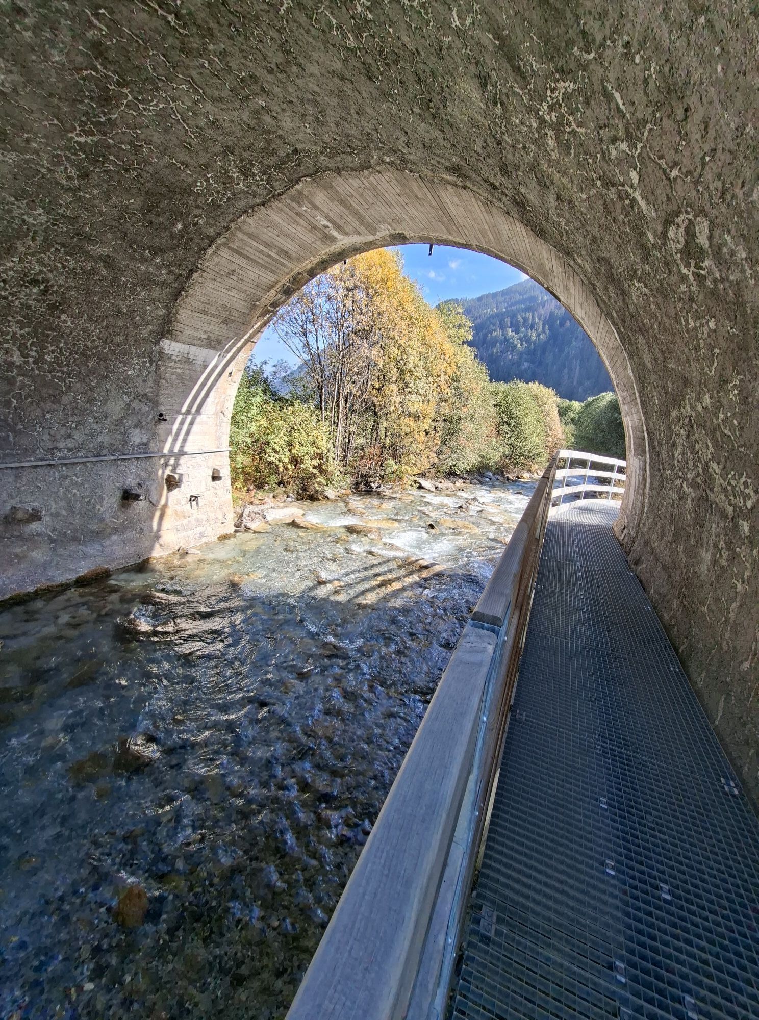
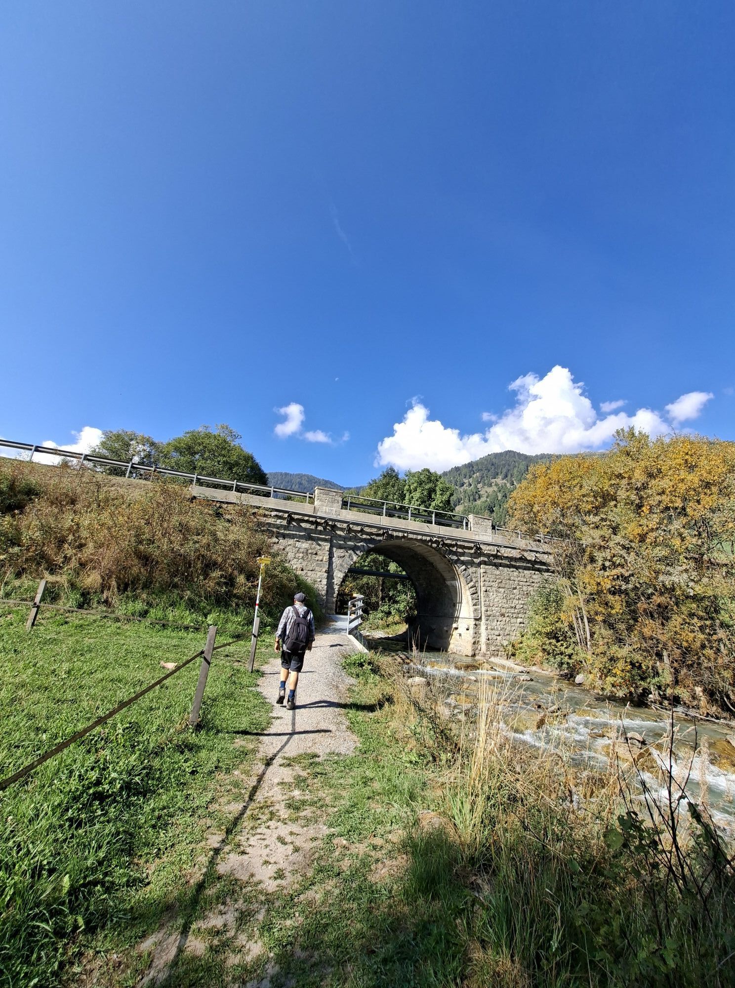
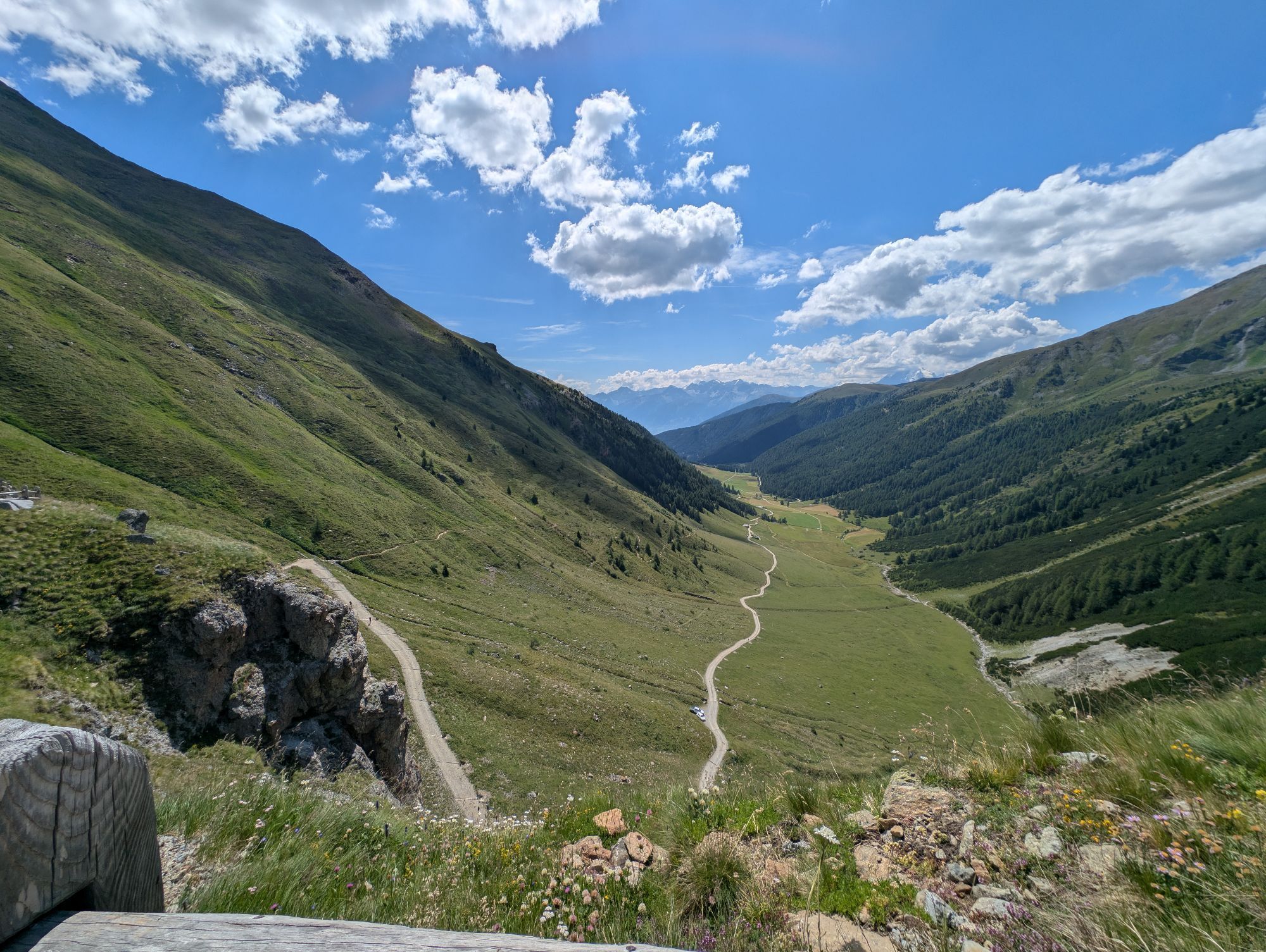
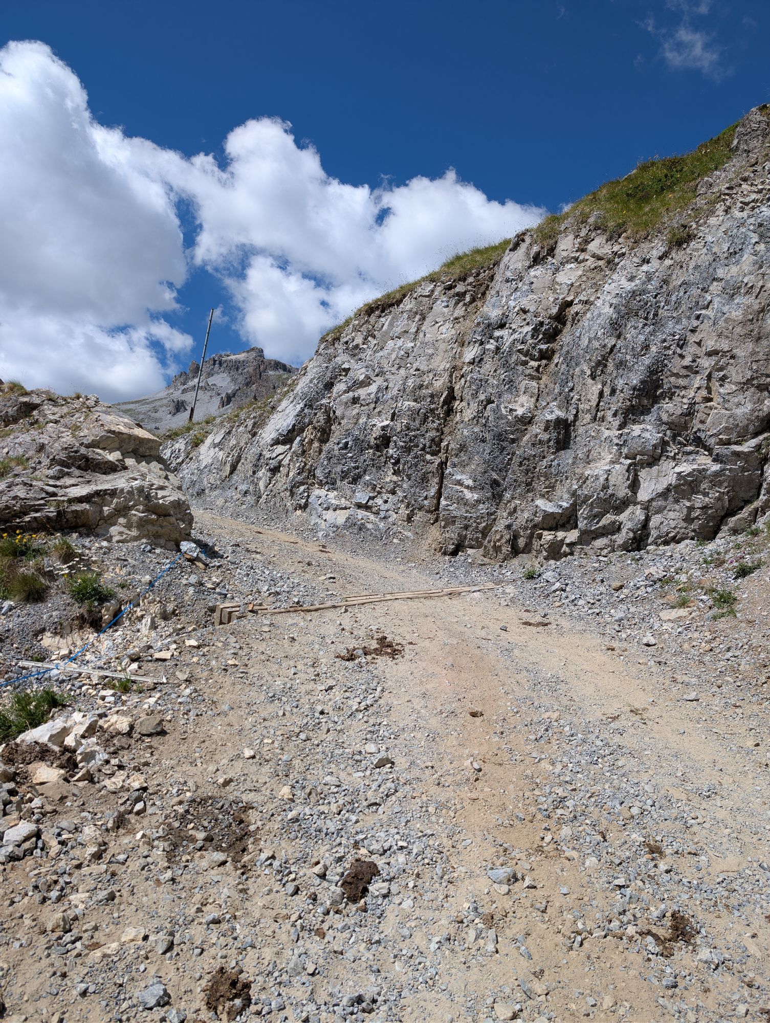
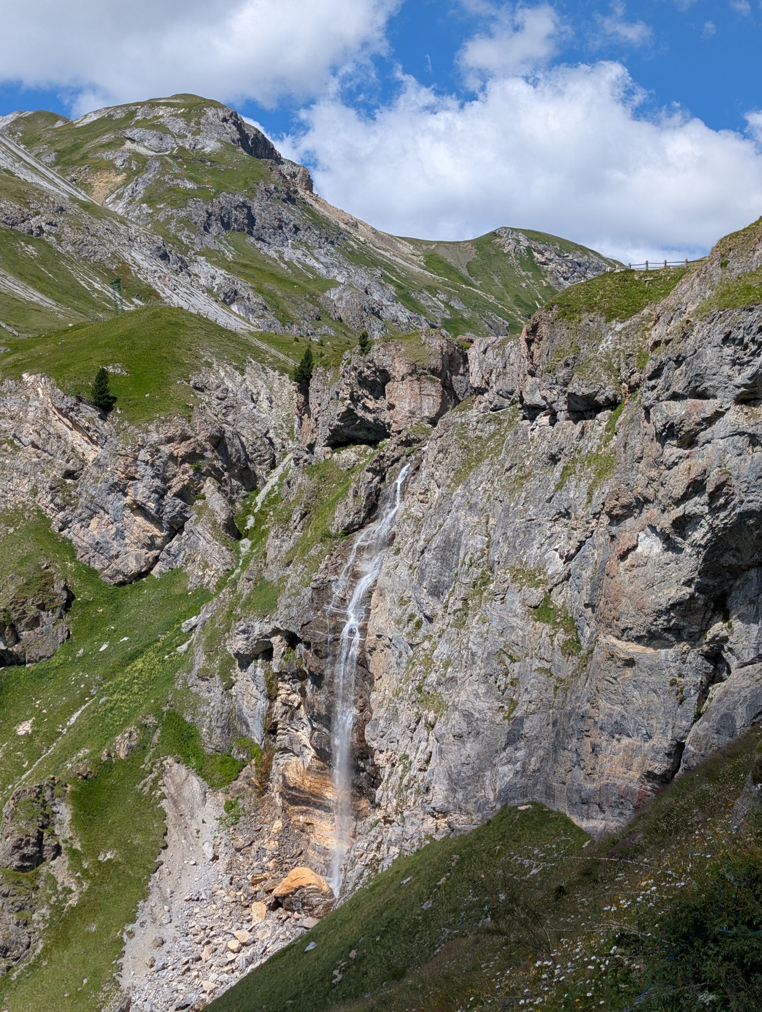
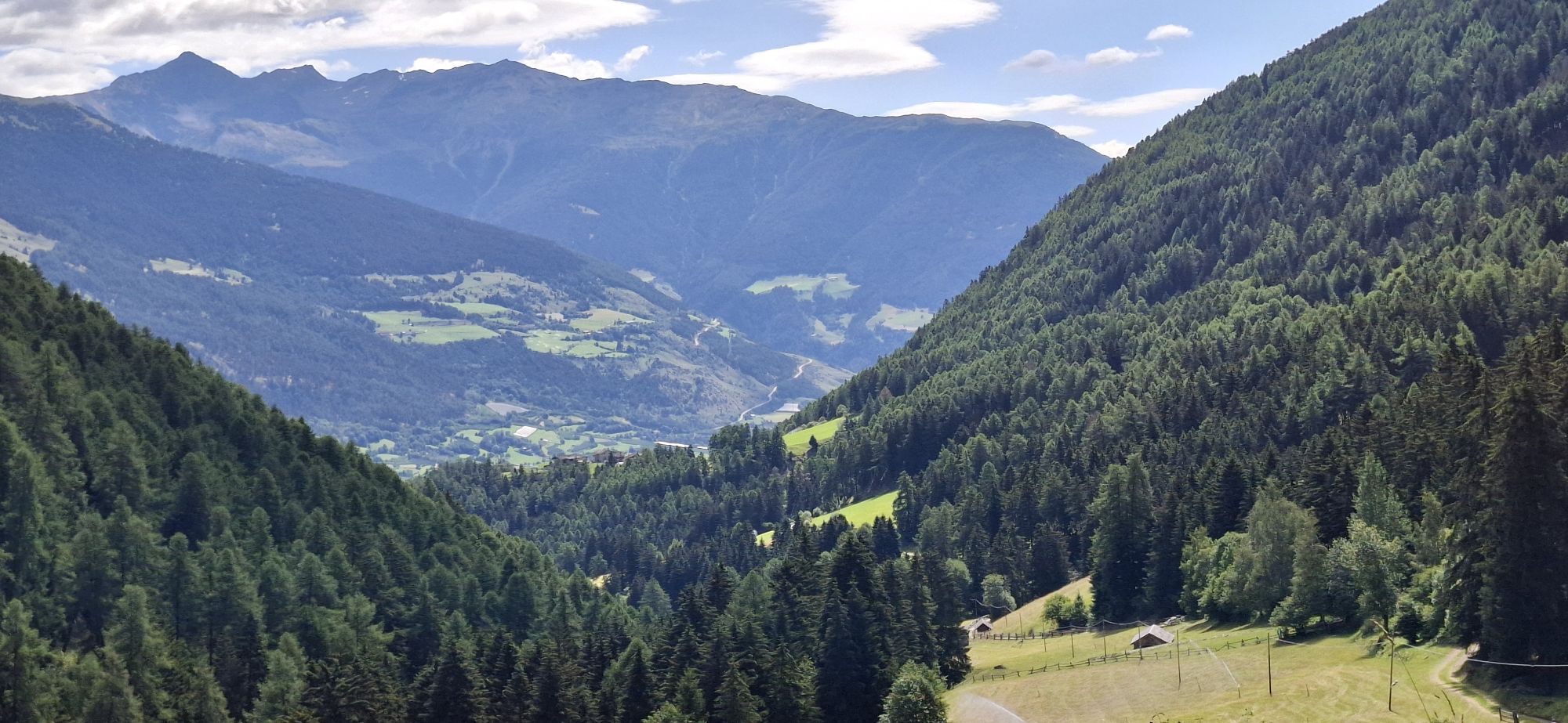
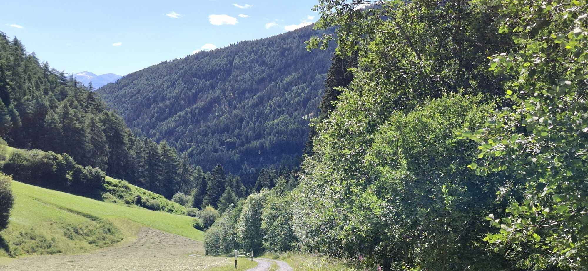
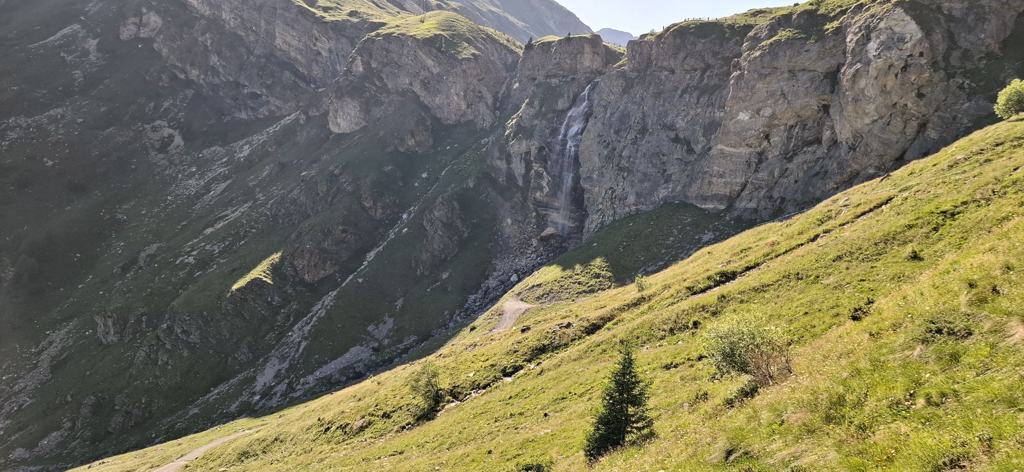
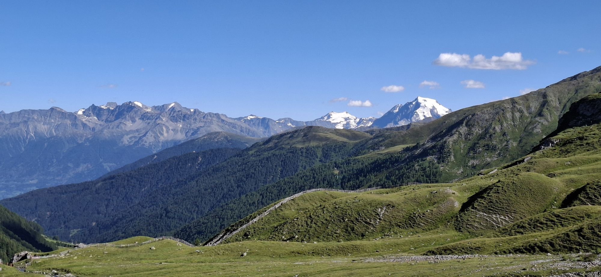
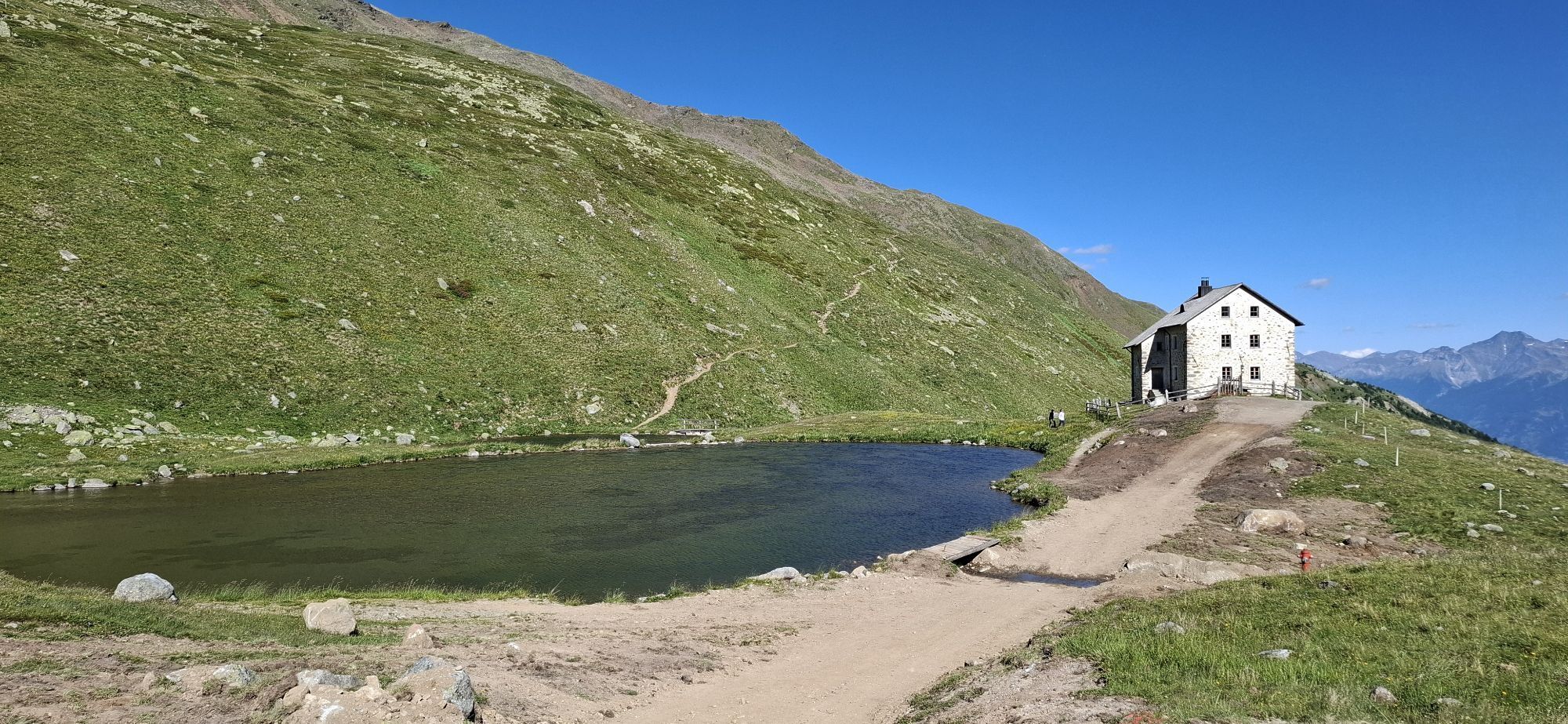
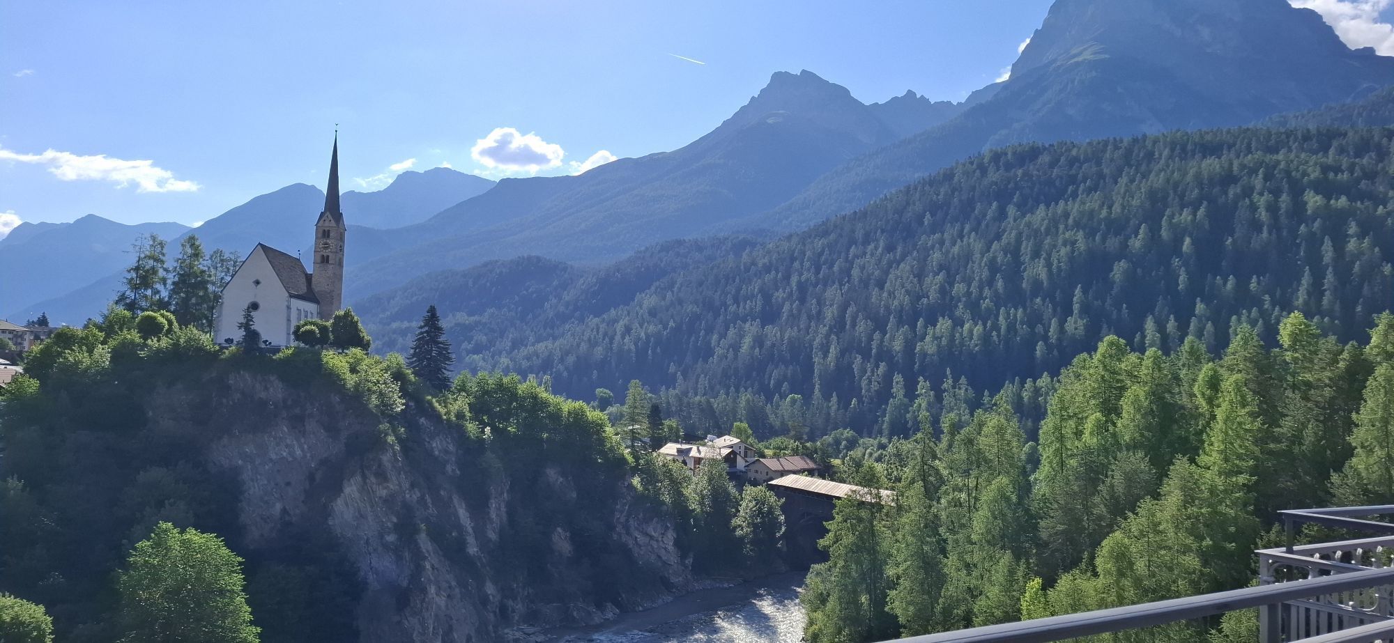
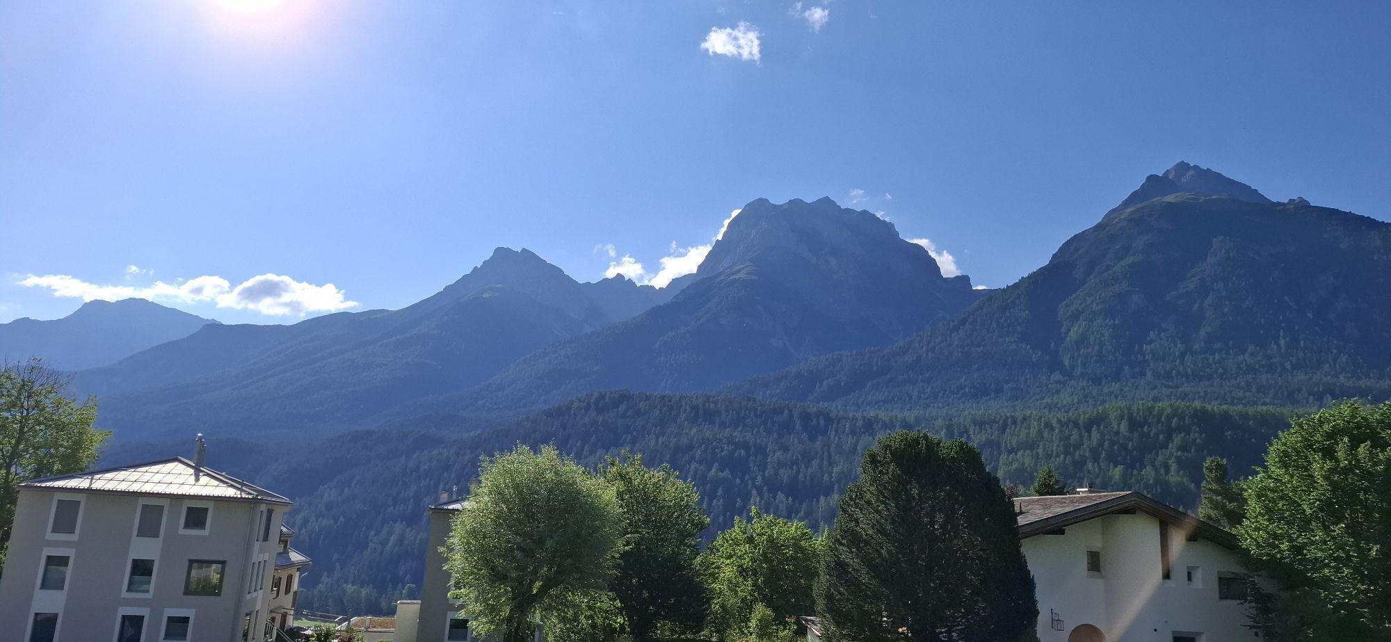
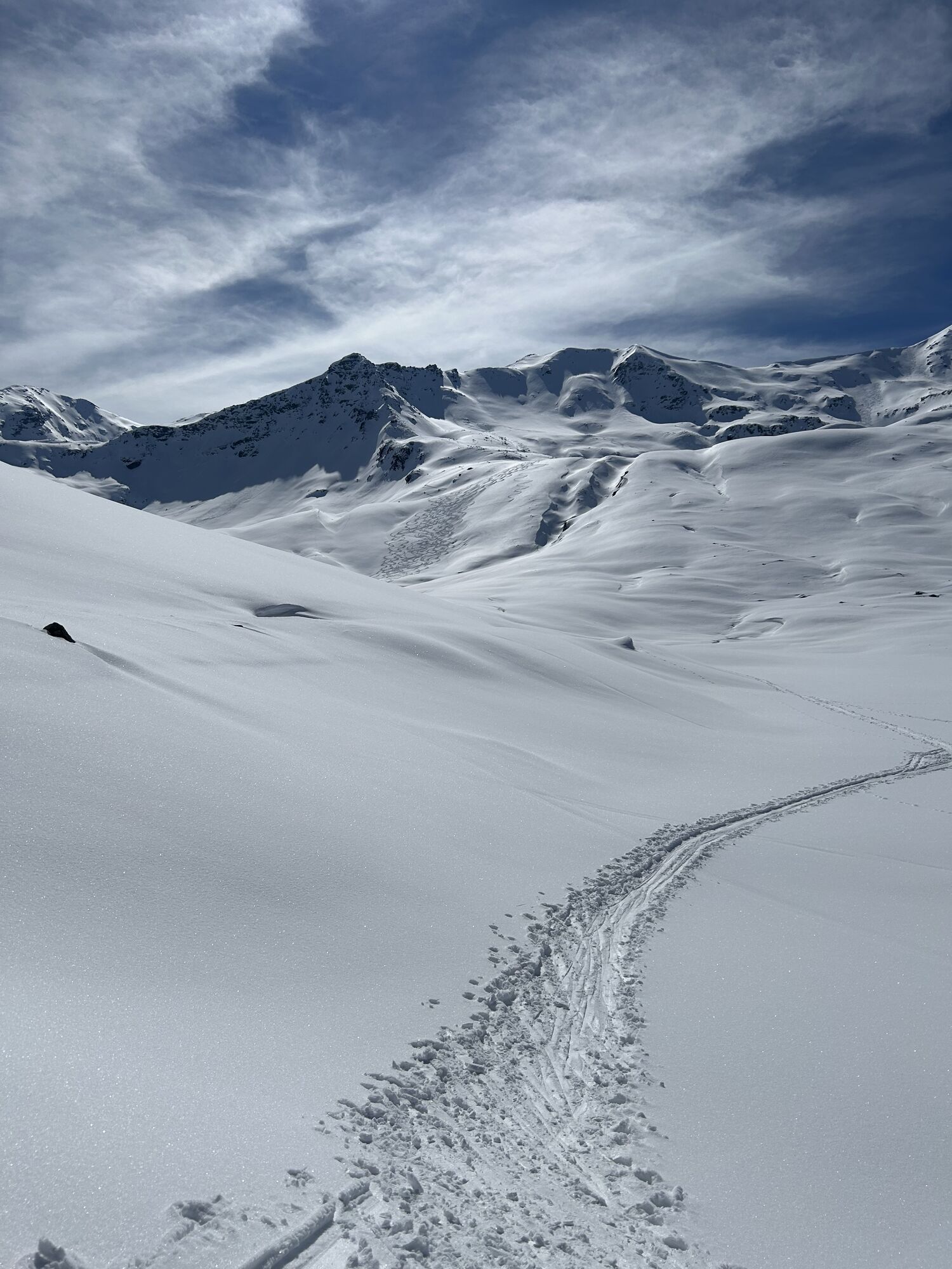
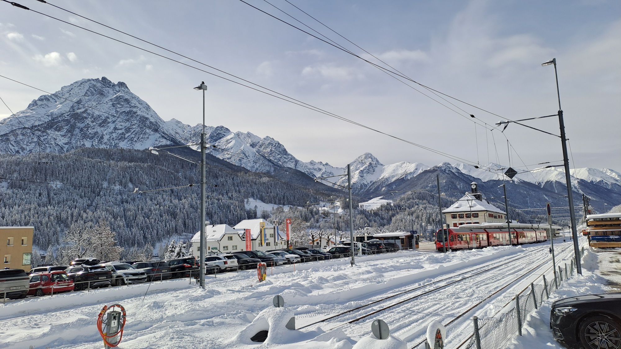
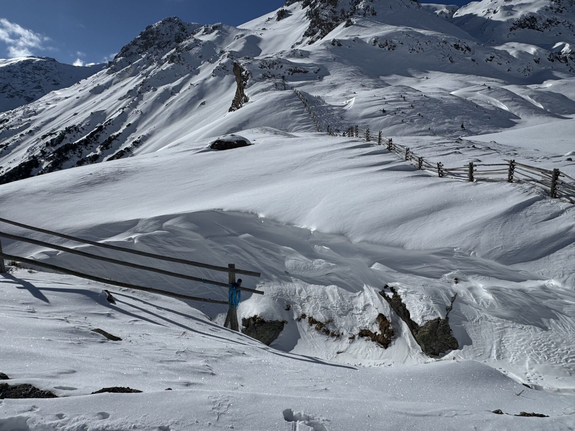
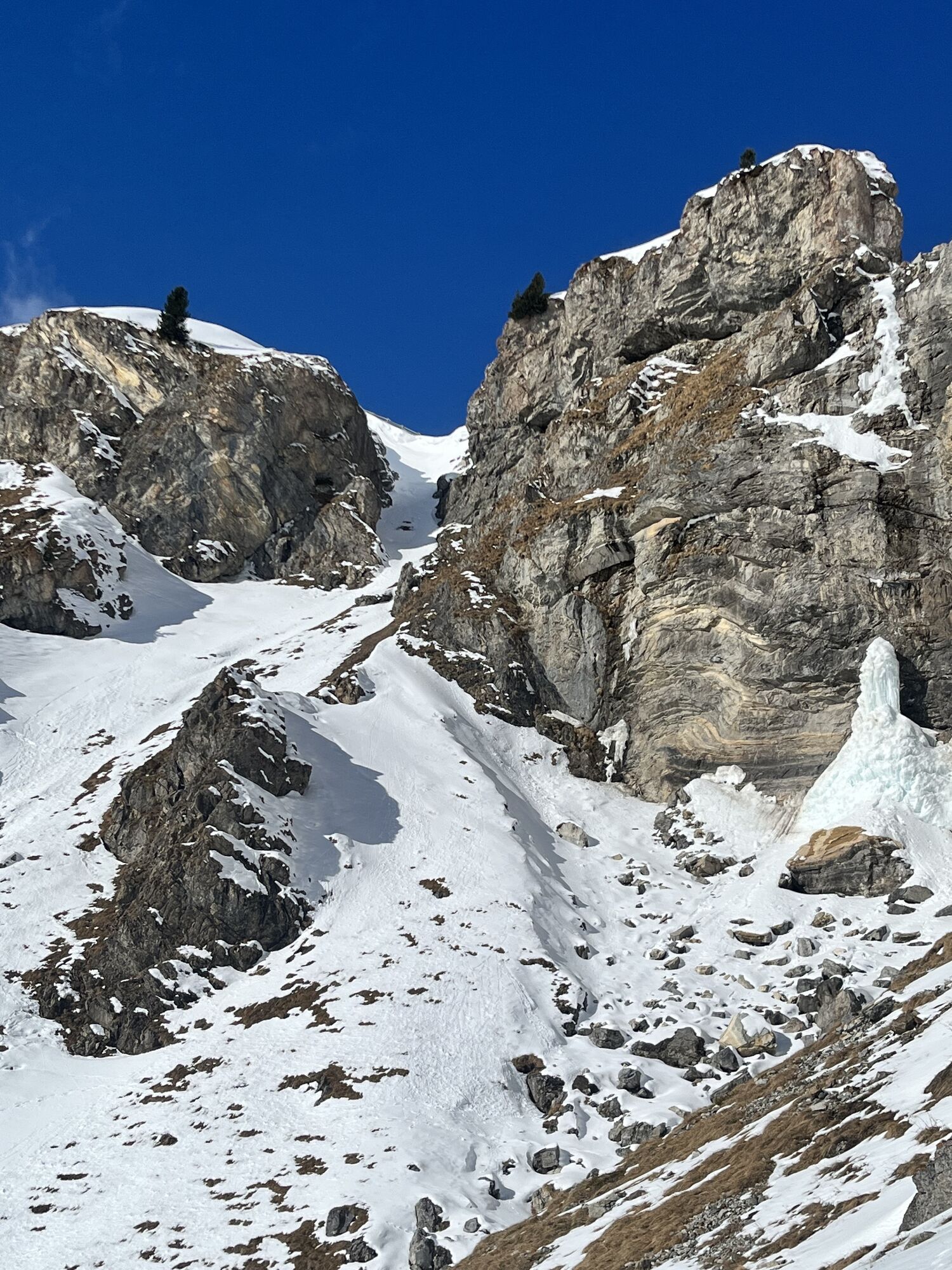
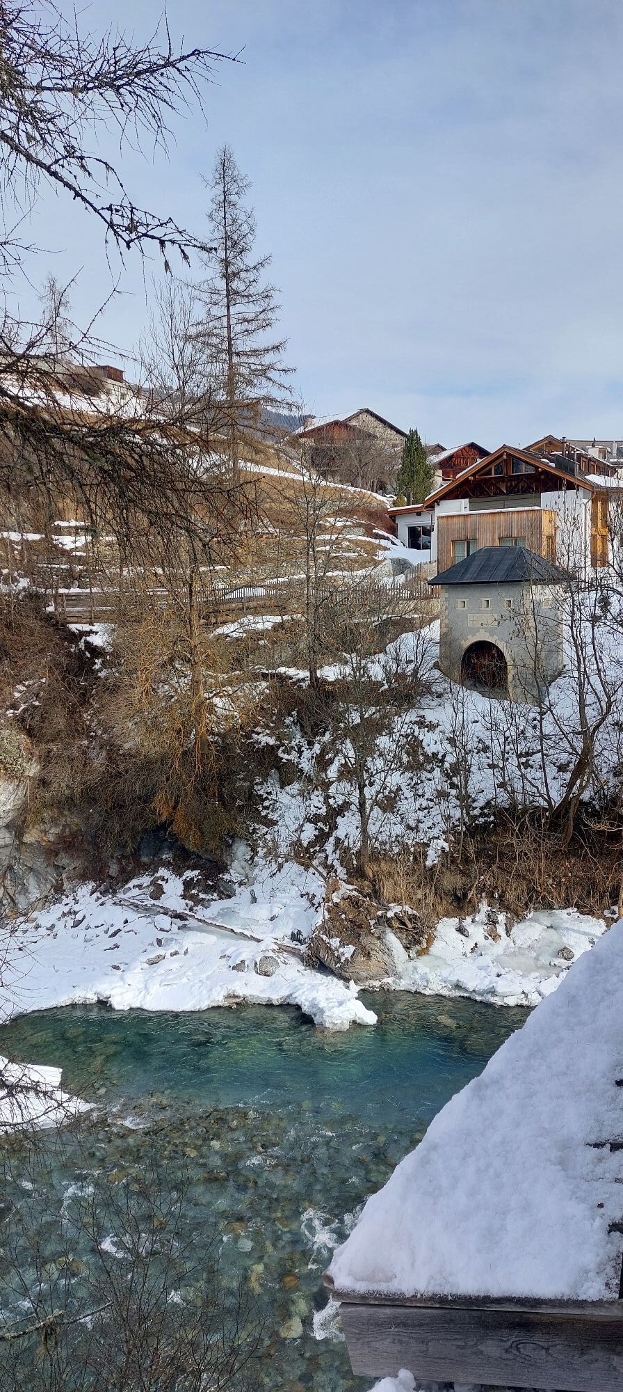
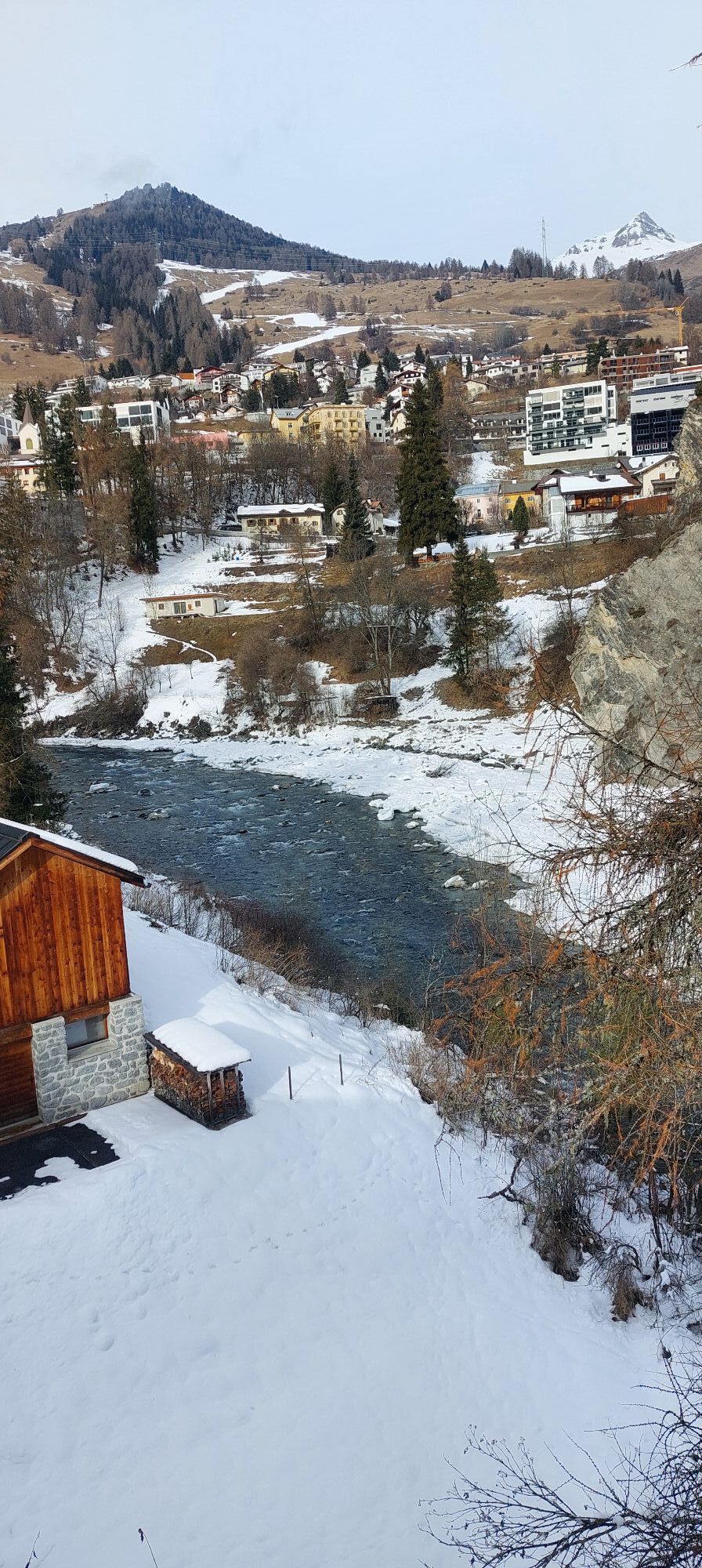
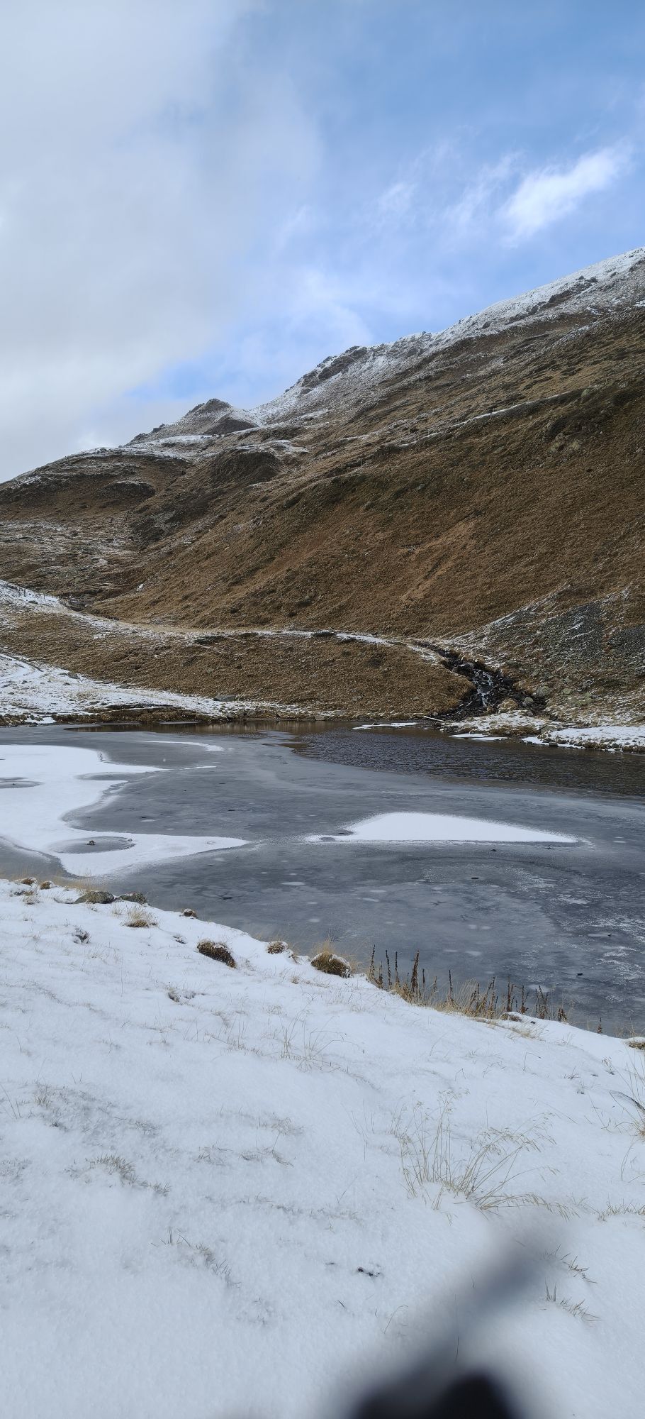
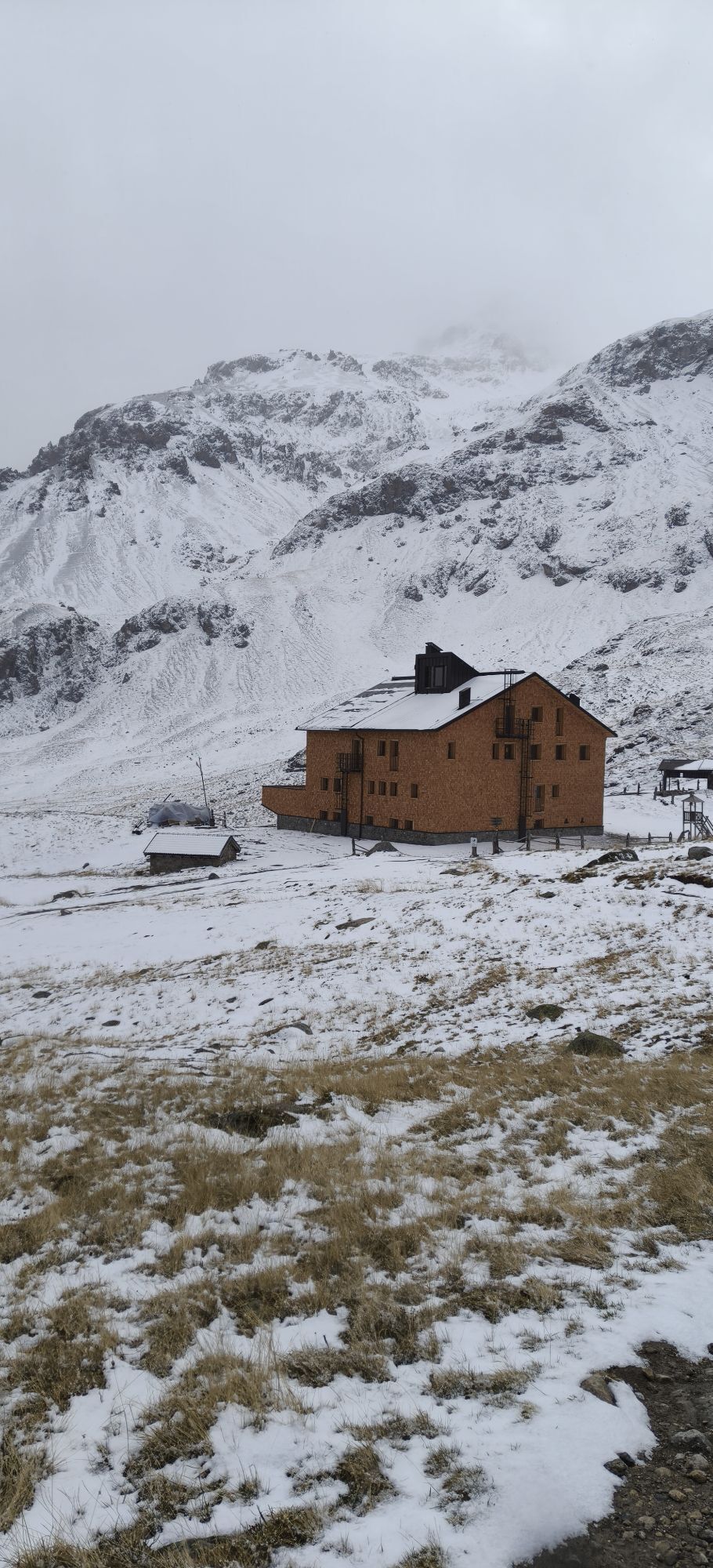
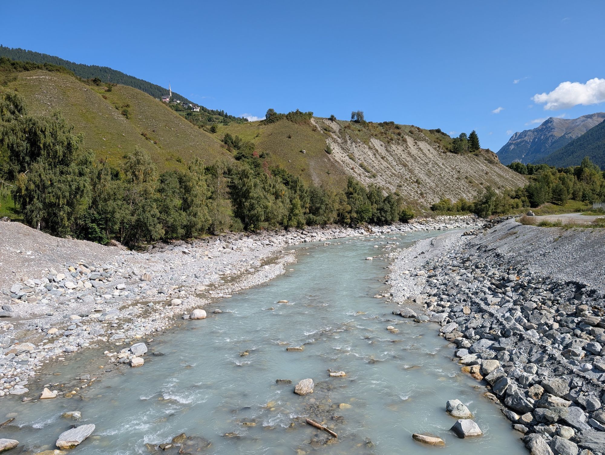
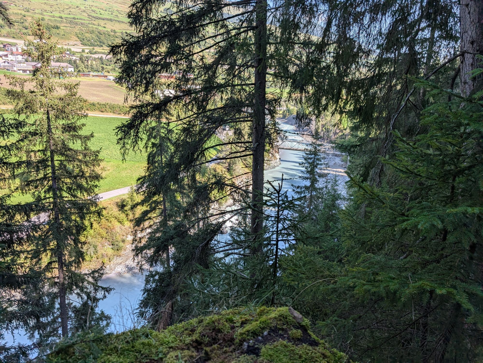
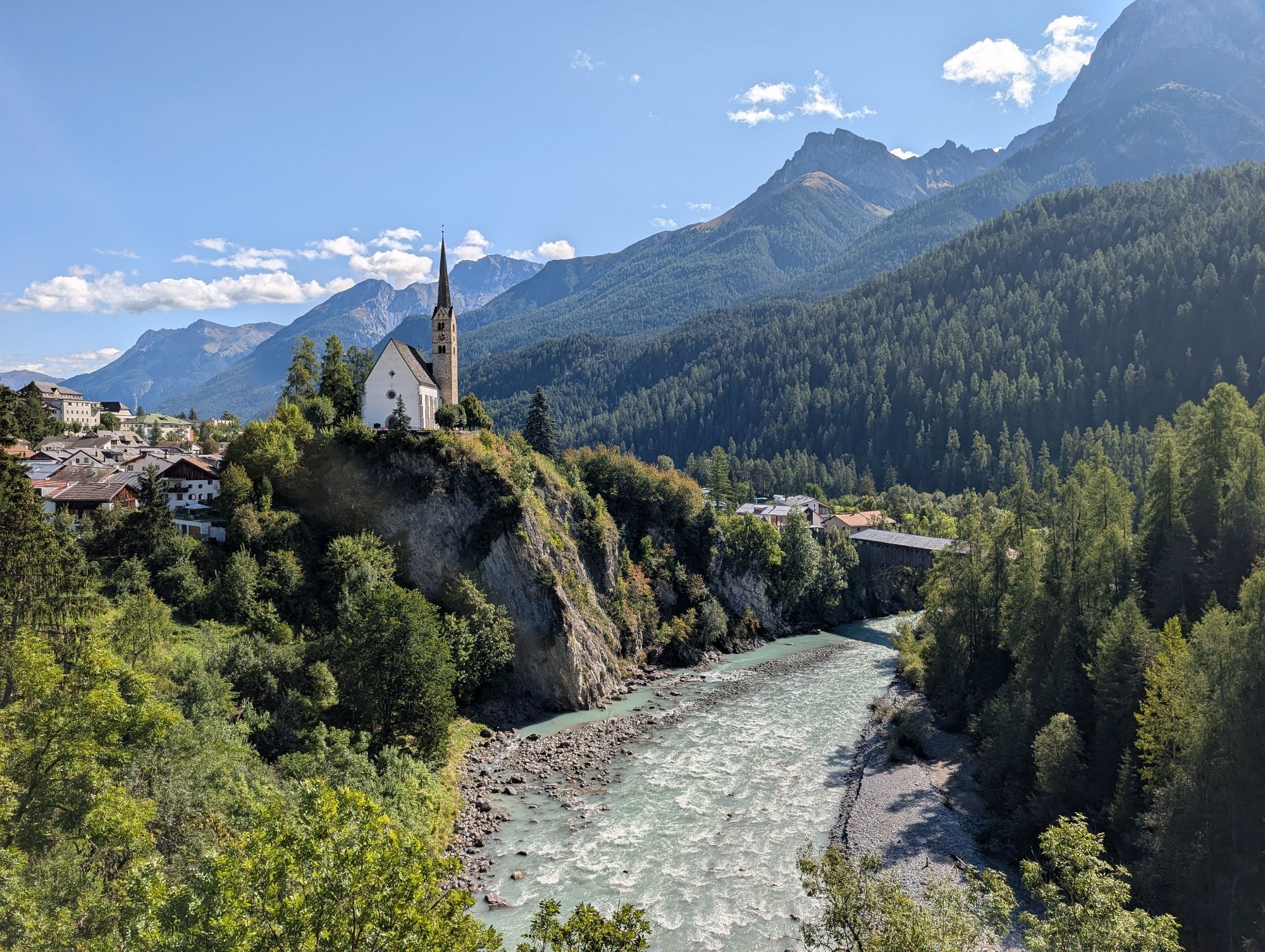
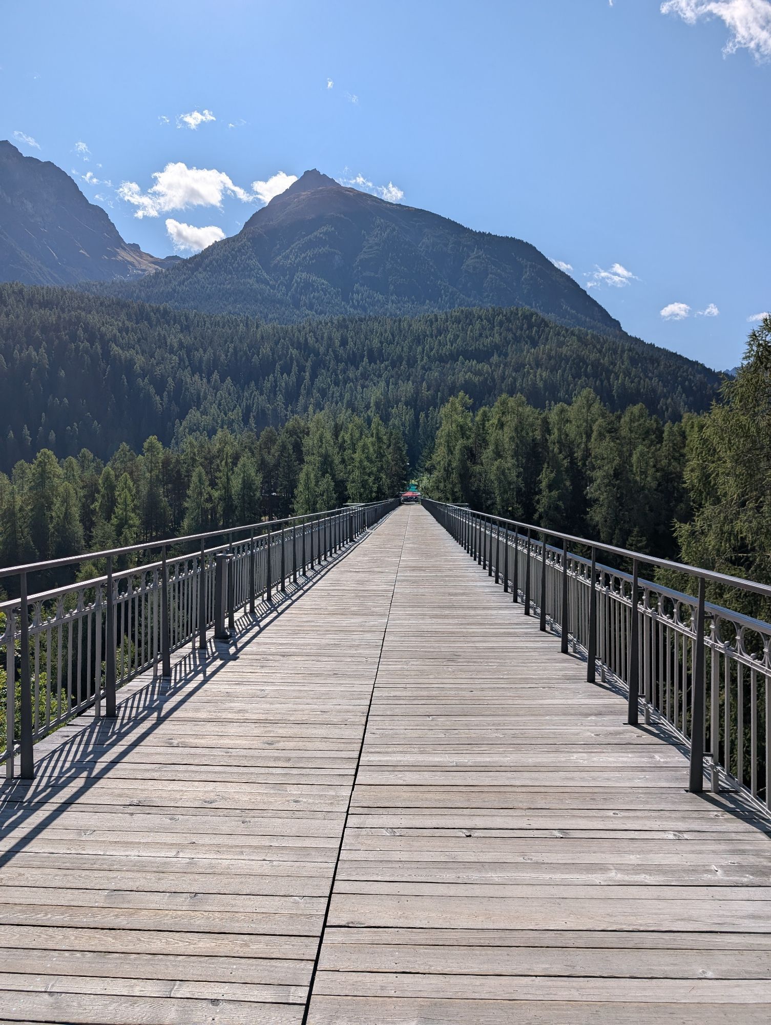
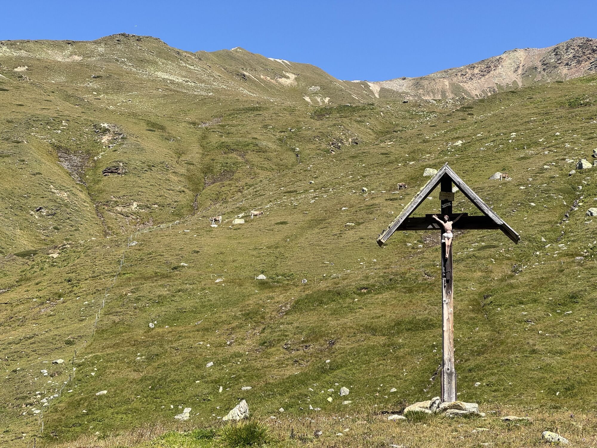
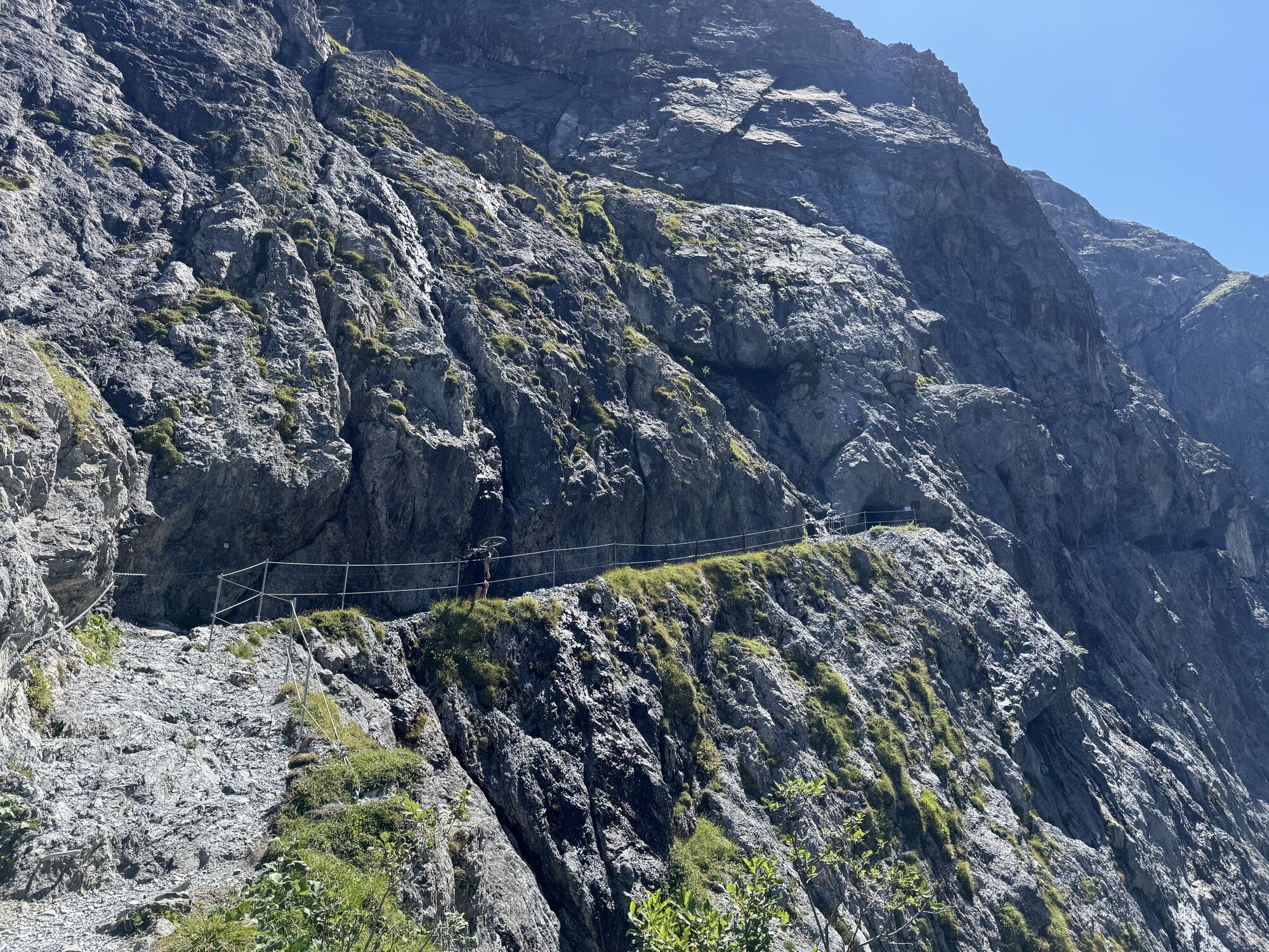
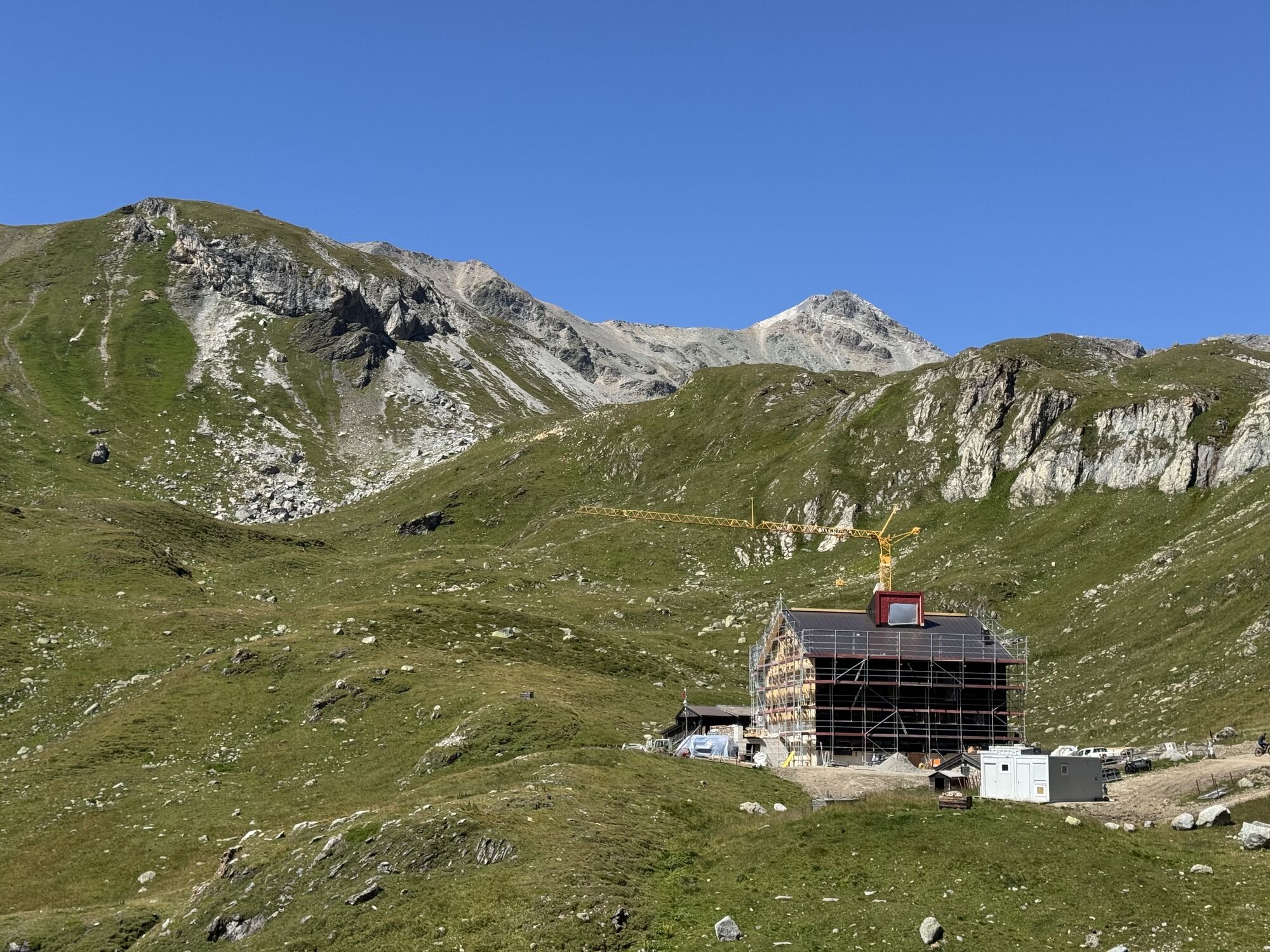
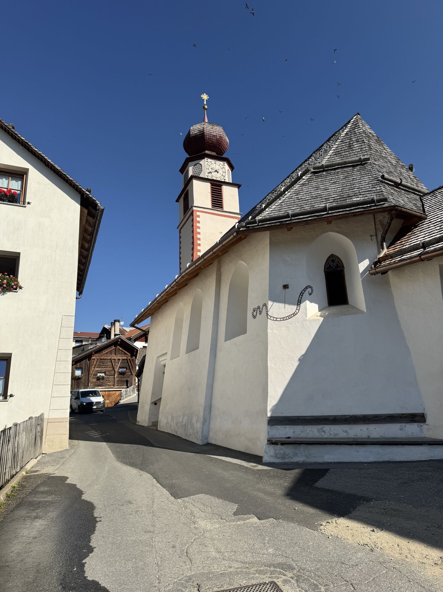
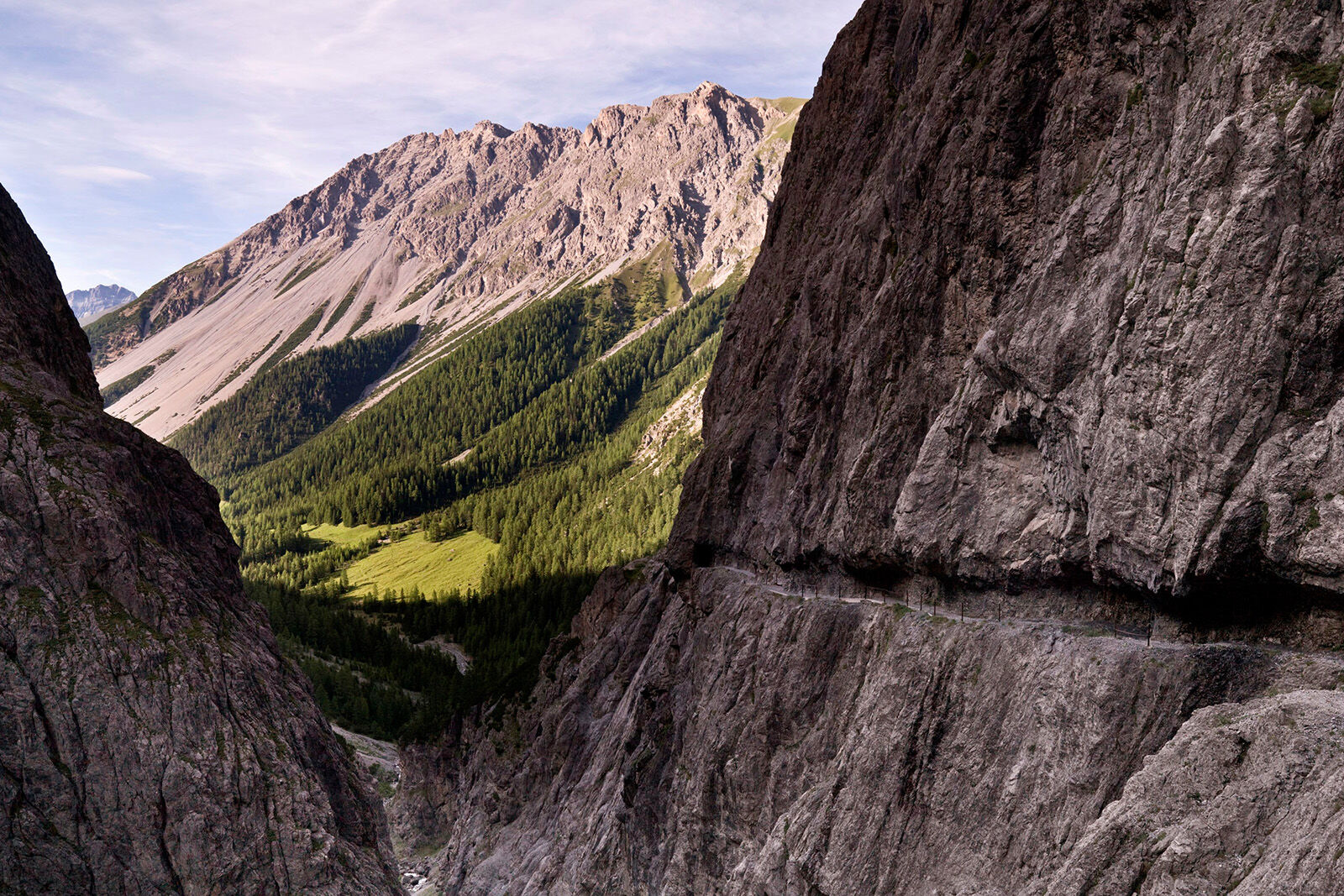
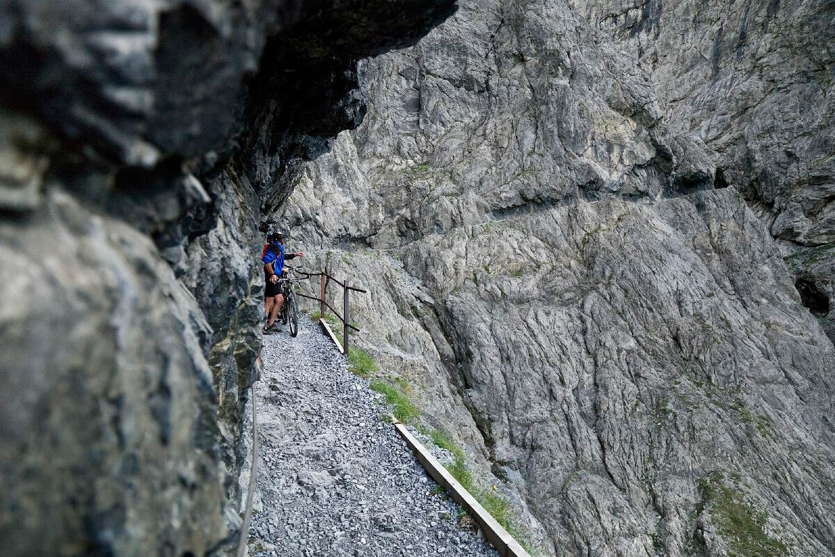
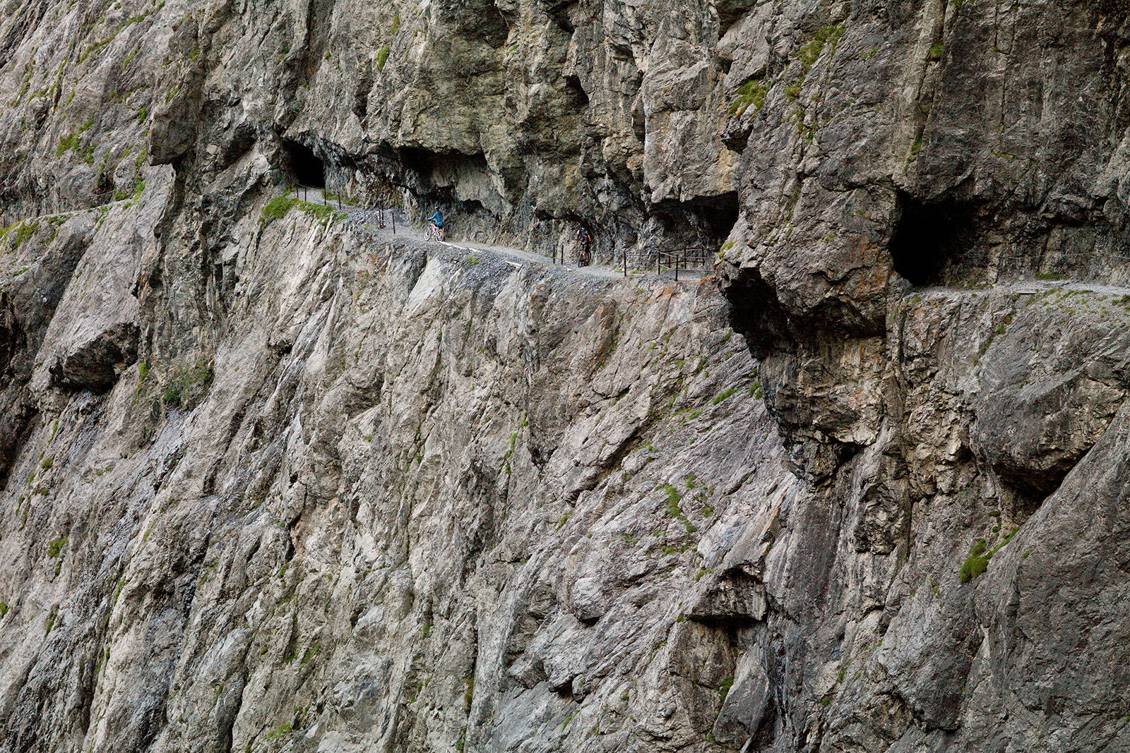
The route begins on an impressively rock-carved smuggler's path in Val d'Uina. 100 meters above the gorge floor, surefootedness and freedom from dizziness are required despite the securing by chains and...
The route begins on an impressively rock-carved smuggler's path in Val d'Uina. 100 meters above the gorge floor, surefootedness and freedom from dizziness are required despite the securing by chains and handrails. The following single trail leads to the staffed Sesvenna hut (2256 m). The further path, mostly on gravel and a short stretch on the main road, leads down to the South Tyrolean village of Laatsch (1250 m). Following the Rom stream, the day's destination in Val Müstair is reached.
Schellen-Ursli filming location: Alpine descent and logging work
The crash of the loaded wagon and part of the alpine descent were filmed at Puntins Ots below the adventure and cultural trail of the same name in Val d'Uina.
All filming locations of the Schellen-Ursli movie can be found here.


From Scuol-Tarasp station to Gurlaina (sports center)
Onward to Pradella and Sur En
From Sur En, right into Val'Uina
From the end of the gorge, single trail to Sesvenna hut (2256 m)
Further towards Laatsch (1250 m), via Schlinig (short stretch on main road)
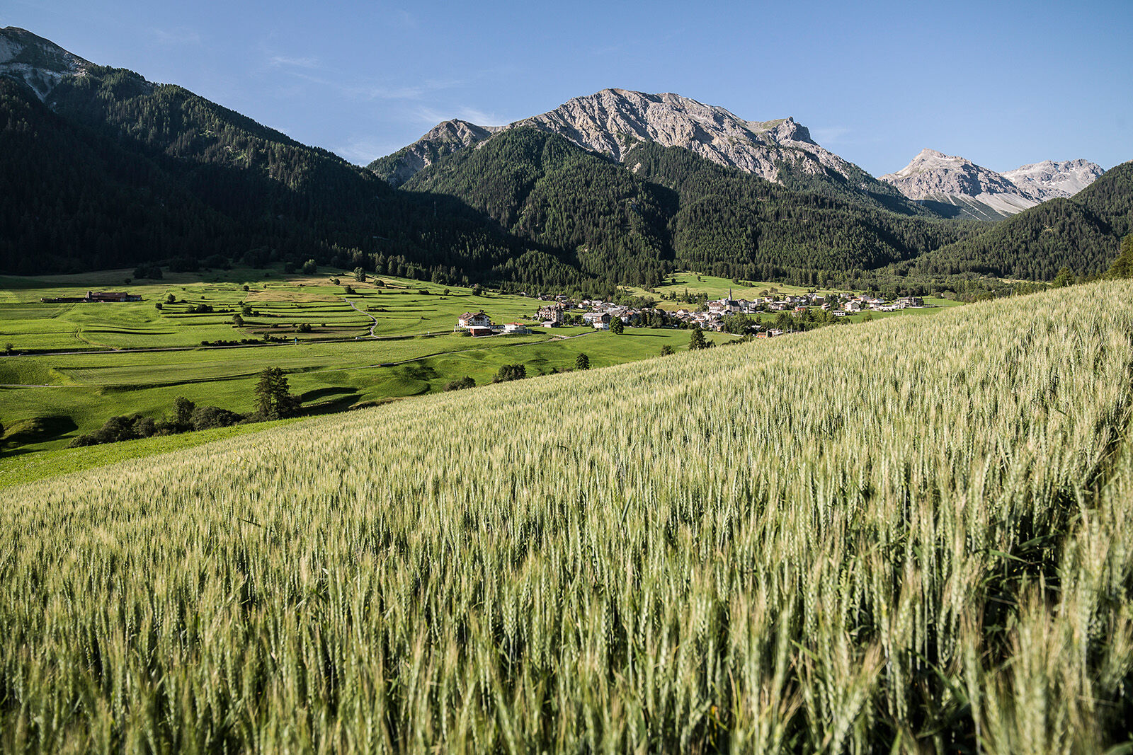
Along the Rom river to Sta. Maria in Val Müstair
Helmet, gloves, good footwear, glasses, rain and sun protection, water bottle, repair kit, first aid kit
The route was rated under favorable weather conditions; current weather conditions and forecasts must be strictly observed before starting the ride. This route requires a high degree of riding safety, balance, and technical skill.
The section at the rock path «il Quar» is a mandatory push section. The narrow path in this area is not secured and does not allow cycling!
Emergency numbers:
144 Emergency call, first aid
1414 Mountain rescue REGA
112 International emergency call
Please be considerate when crossing and overtaking hikers.
The Graubünden mountain bike routes largely run on single trails that are also marked as hiking trails. Hikers always have the right of way.
From the north: via Landquart – Klosters by car shuttle through the Vereina Tunnel (Selfranga - Sagliains) or via Flüela Pass to Lower Engadin on H27
From the east: via Landeck / Austria towards St. Moritz on H27
From the south: via Reschen Pass (Nauders-Martina) or Ofen Pass (Val Müstair-Zernez) on H27
Scuol is located directly on the Engadin road H27 (25 minutes driving time from the Vereina south portal)
By Rhaetian Railway (from Chur, Landquart/Prättigau or Upper Engadin) hourly to Scuol-Tarasp station
By PostAuto (from Martina, Sent, Ftan or Tarasp) hourly to Scuol-Tarasp station
Paid parking at the station and at the mountain railways in Scuol
Free parking Porta and Punt (Scuol Sot)
S3


Obľúbené výlety v okolí
-
4,3
Panoramaweg Schöneben Haider Alm
svetloTuristika 5,78 km -
5,0
Mountain restaurant Plantaptasch (without Lift)
strednáTuristika 3,42 km -
4,3
Reschensee
svetloTuristika 15,6 km -
4,2
Haidersee - Graun - Trentino-Alto Adige/Südtirol/Italia
svetloTuristika 4,99 km -
3,6
Easy hiking rout to the top of the Watles Moutain (2.550 m)
strednáTuristika 2,35 km -
3,6
Nauders - Bergkastel - Plamort - Reschen - Nauders
strednáMountainbike 20,9 km -
4,4
Leonhardskapelle - Deiländerblick - Mein Dörfl Bar-Bungalov - Kapelle zum Hl. Martin
svetloCyklistika 29,2 km -
4,5
Rundwanderweg Wattles und Sesvenna
svetloTuristika 16,4 km -
4,8
Plamort
svetloTuristika 8,25 km -
5,0
Edelweißsteig- Leitenwool- Muntaschinig- Gongelegg - Schluderns
svetloTuristika 14,0 km
Turistika a stopovanie


Nenechajte si ujsť ponuky a inšpiráciu na ďalšiu dovolenku
Vaša e-mailová adresa bol pridaný do poštového zoznamu.





