



Lenz Runde

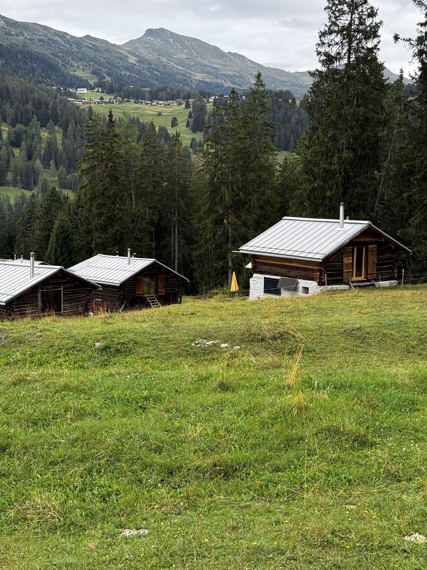
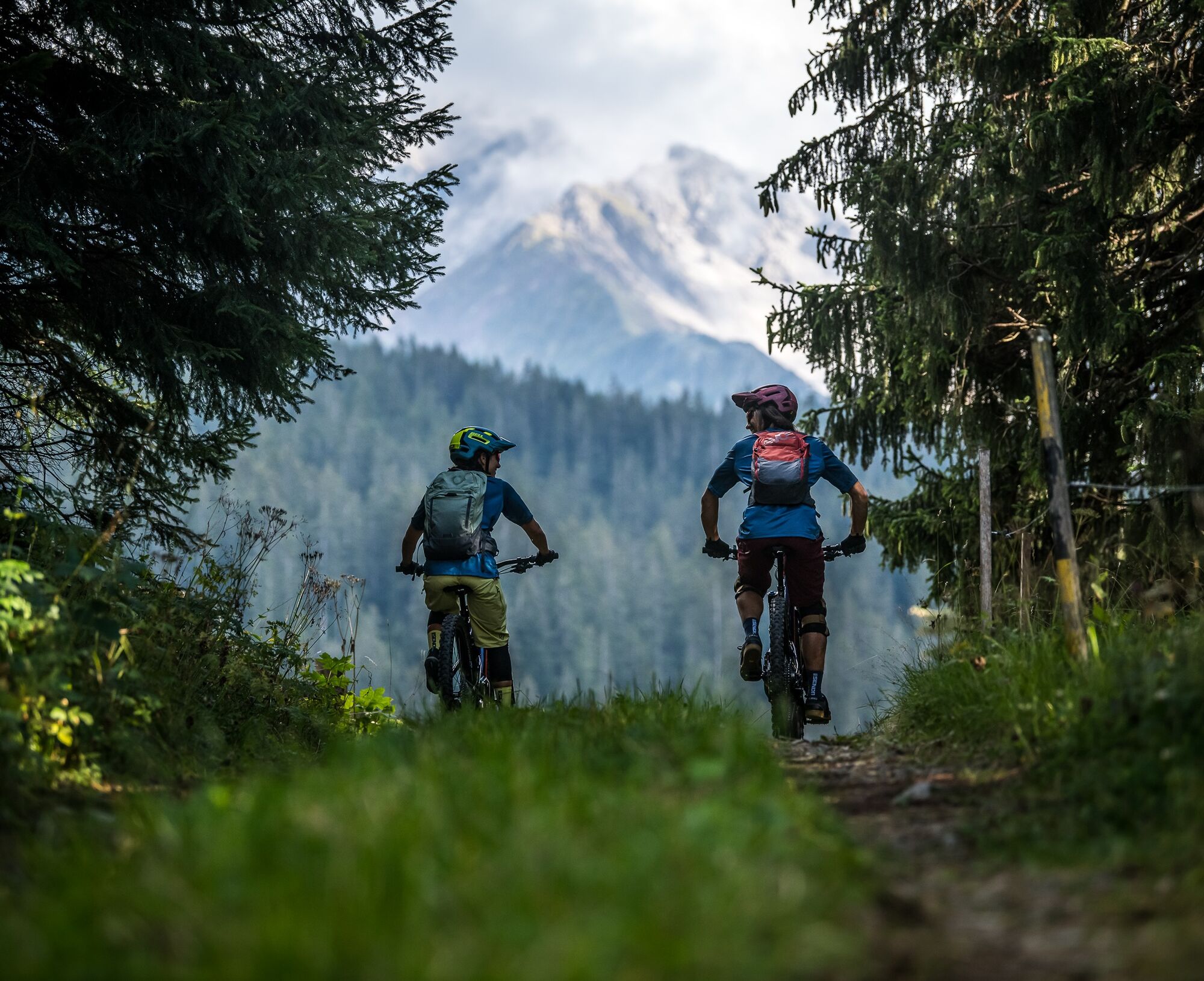
From Lenzerheide you take a natural road on the left side of the valley towards Lantsch/Lenz. On the way you enjoy beautiful views over the valley and the Oberhalbstein - Rhaeto-Romanic and officially...
From Lenzerheide you take a natural road on the left side of the valley towards Lantsch/Lenz. On the way you enjoy beautiful views over the valley and the Oberhalbstein - Rhaeto-Romanic and officially called Surses. An idyllic bank just before Rofna invites you to linger. Once again you can enjoy beautiful views of the small hamlets of the valley: Lantsch/Lenz, Mon, Stierva, Mutten and Obermutten. Soon afterwards, the next viewpoint is Crap la Tretscha. A stop is worthwhile not only because of the view into the 200m lower Alvaschein and Tiefencastel but above all because of the cosy grill place. We return to Lenzerheide with a pleasant ascent along the valley floor.


Lenzerheide - Kieswerk Bovas - Lantsch/Lenz - Golfplatz - Lenzerheide
Áno
Von Basel und Zürich - Chur-Süd (Ausfahrt Nr. 17) - Lenzerheide.
Von Milano - Lugano - San-Bernadino-Tunnel - Thusis - Chur (Ausfahrt Lenzerheide) - Lenzerheide.
Die Anreise mit dem Zug nach Chur, dann steigen Sie direkt auf die Busse von Postauto Graubünden um und gelangen so innert 30 Minuten nach Lenzerheide.
Parkplätze: Julier Parkplatz,

Webové kamery z prehliadky

Obľúbené výlety v okolí
-
4,6
749 Val Meltger suspension bridge trail
strednáTuristika 8,30 km -
Arosa-Schwellisee-Älplisee-Parpaner Rothorn
Turistika 12,3 km -
4,7
Arosa-Hörnli-Parpaner Rothorn-Lenzerheide
Turistika 11,9 km -
5,0
Alp Sanaspans - Rothorn
ťažkéTuristika 13,6 km -
5,0
Eichhörnliweg Arosa
svetloTematická trasa 1,72 km -
5,0
Arosa-Hörnli-Urdenfürrgli-Alp Scharmoin-Lenzerheide
strednáTuristika 15,3 km -
5,0
4-Viaduct hike
strednáTuristika 13,6 km -
5,0
767 Alteinsee Schiesshorn
strednáTuristika 11,9 km -
4,6
Thusis - Cafe im Park - Reformierte Kirche Reischen - Zillis
strednáHorská turistika 10,8 km -
5,0
Arosa-Erzhornsattel-Arosa
Turistika 14,9 km

Turistika a stopovanie


Nenechajte si ujsť ponuky a inšpiráciu na ďalšiu dovolenku
Vaša e-mailová adresa bol pridaný do poštového zoznamu.


