



GPS Albula Haute Route

Úroveň náročnosti: S3
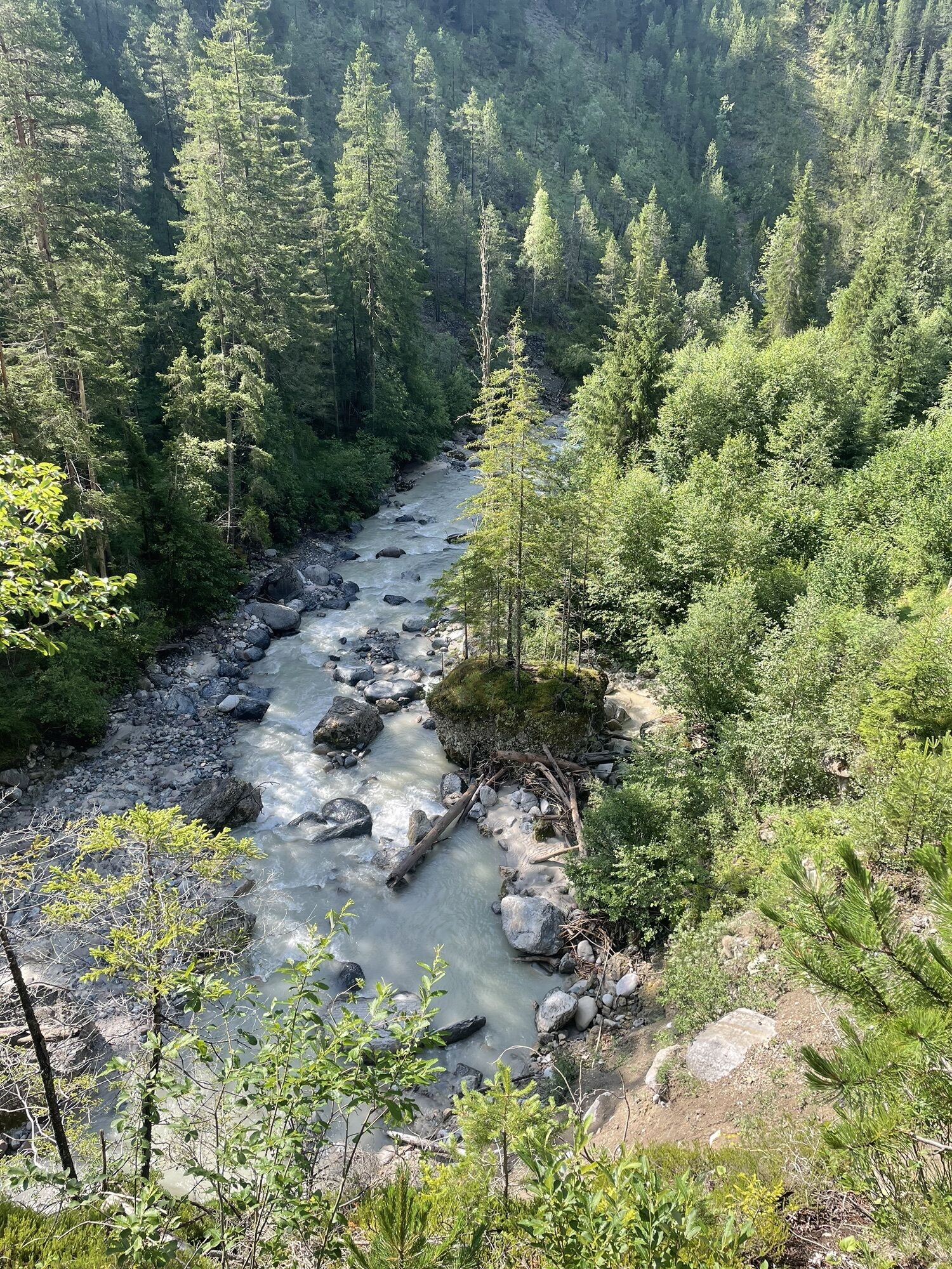
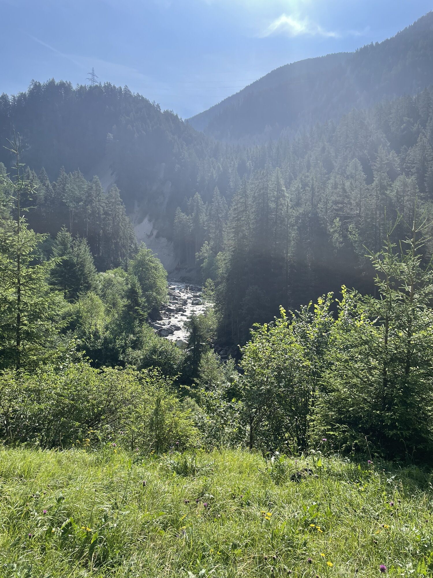
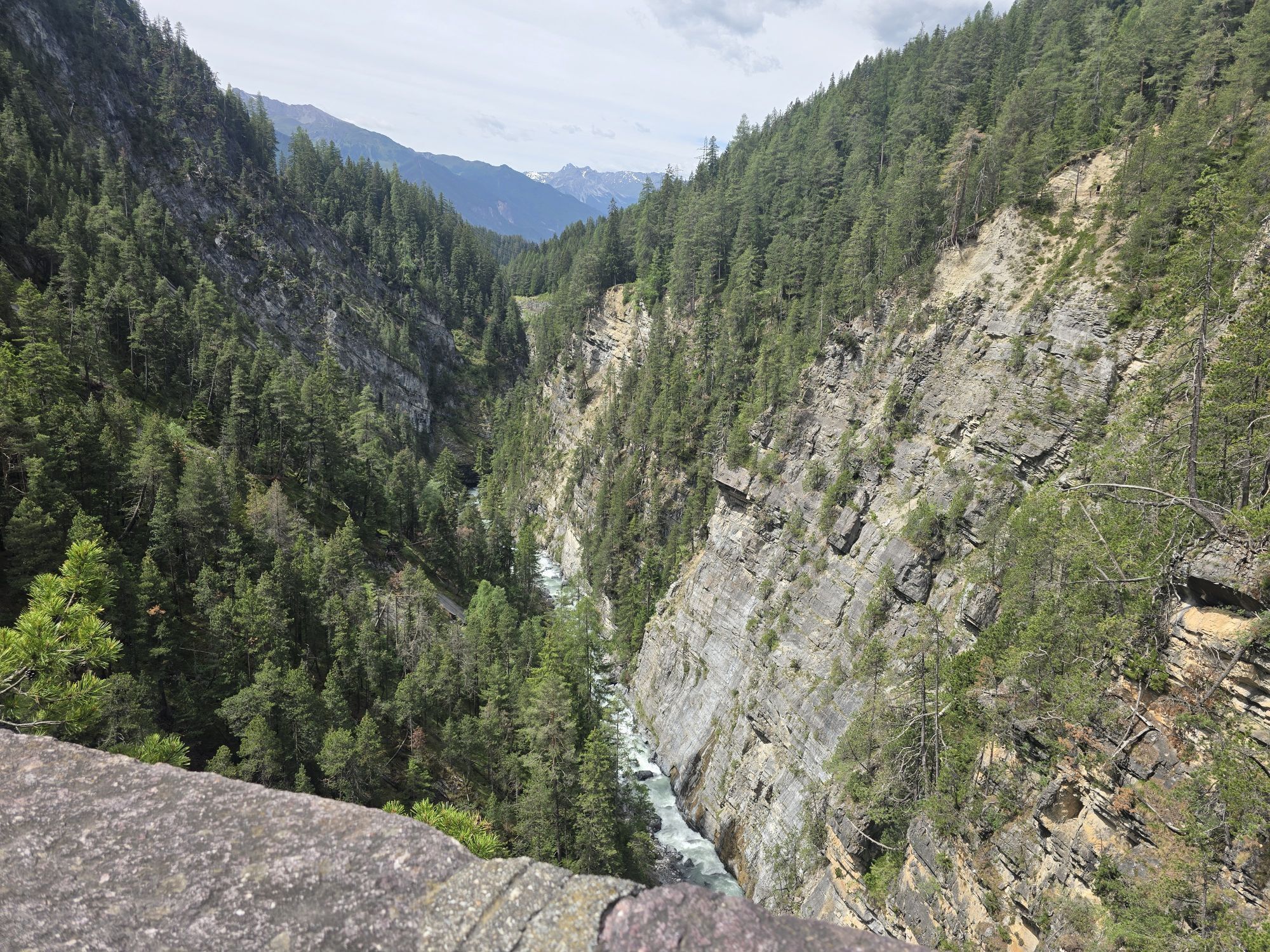
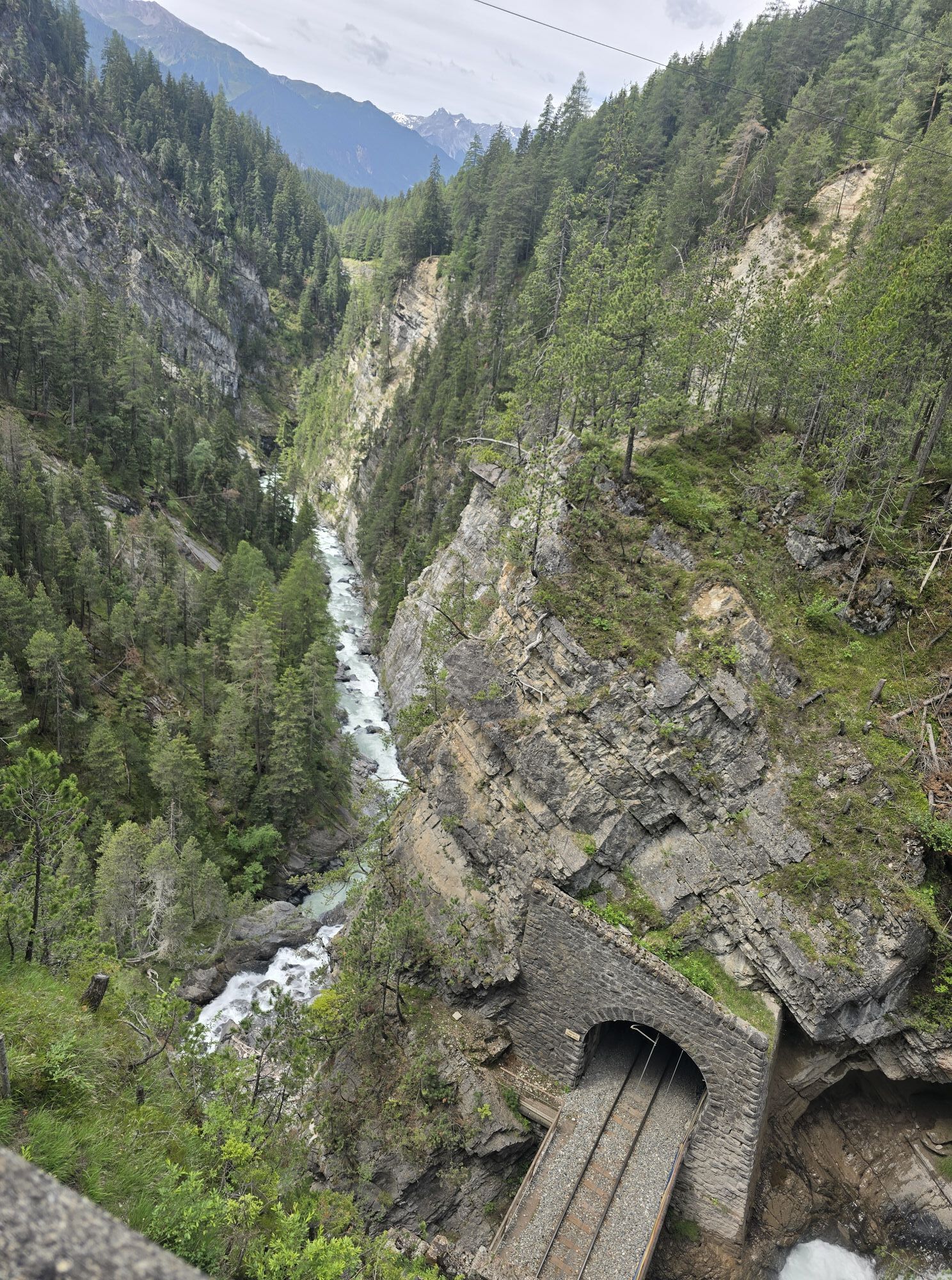
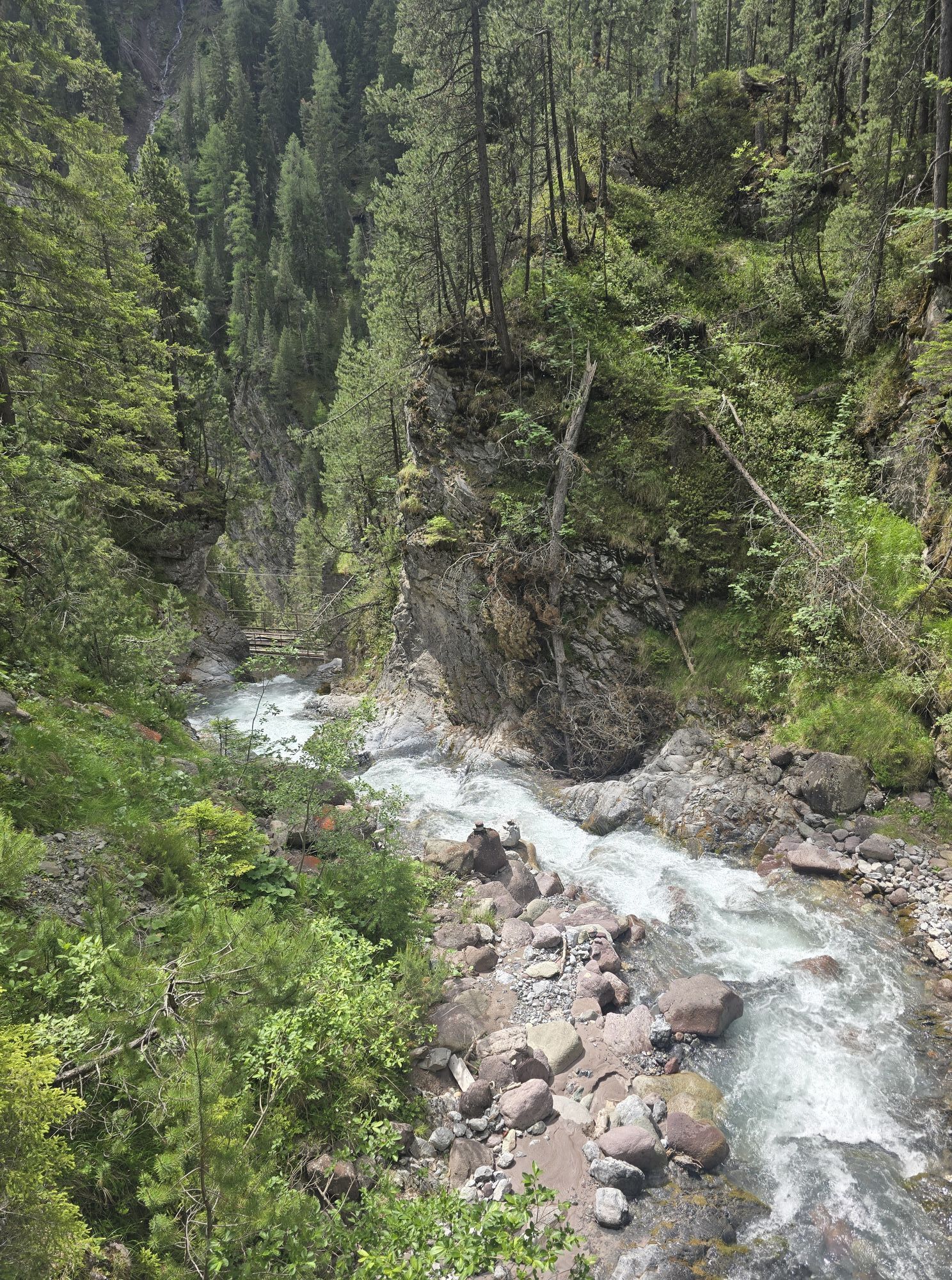
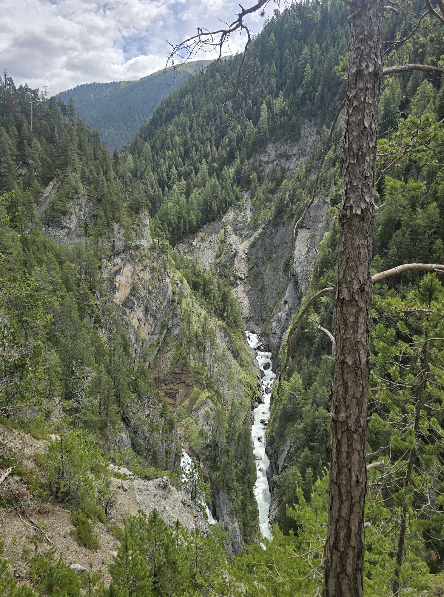

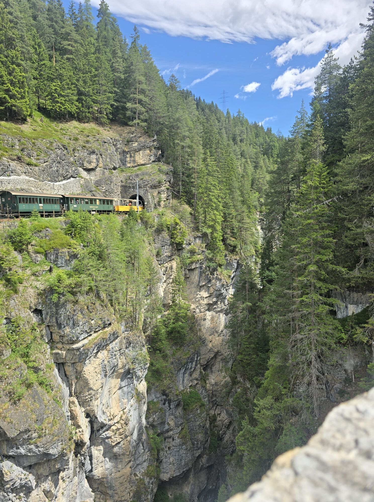
Ideally, start the Albula Haute Route in Crappa Naira. There is a PostBus stop here, which is easily accessible from Davos or Lenzerheide. The ascent starts immediately, initially along a forest road,...
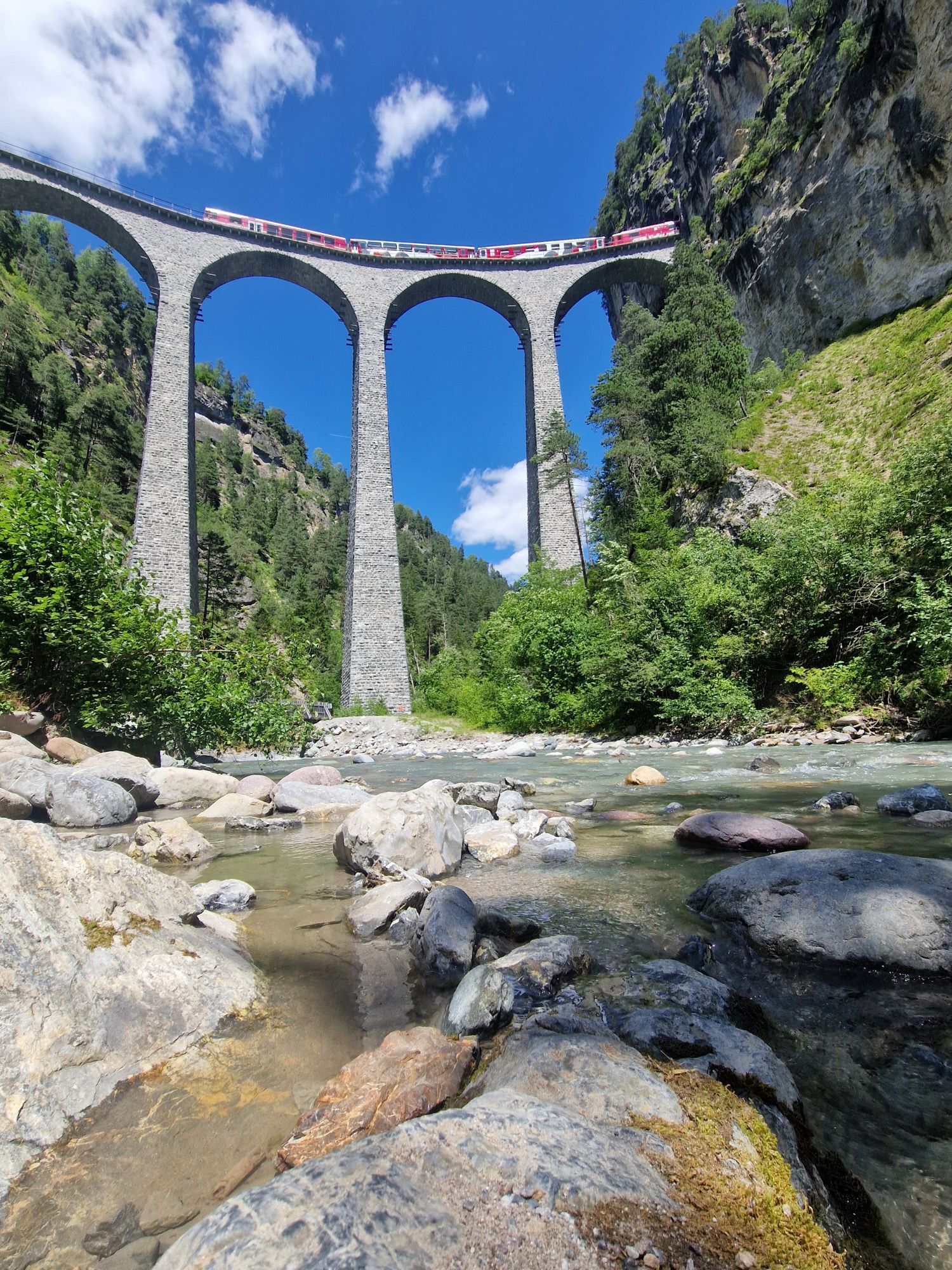
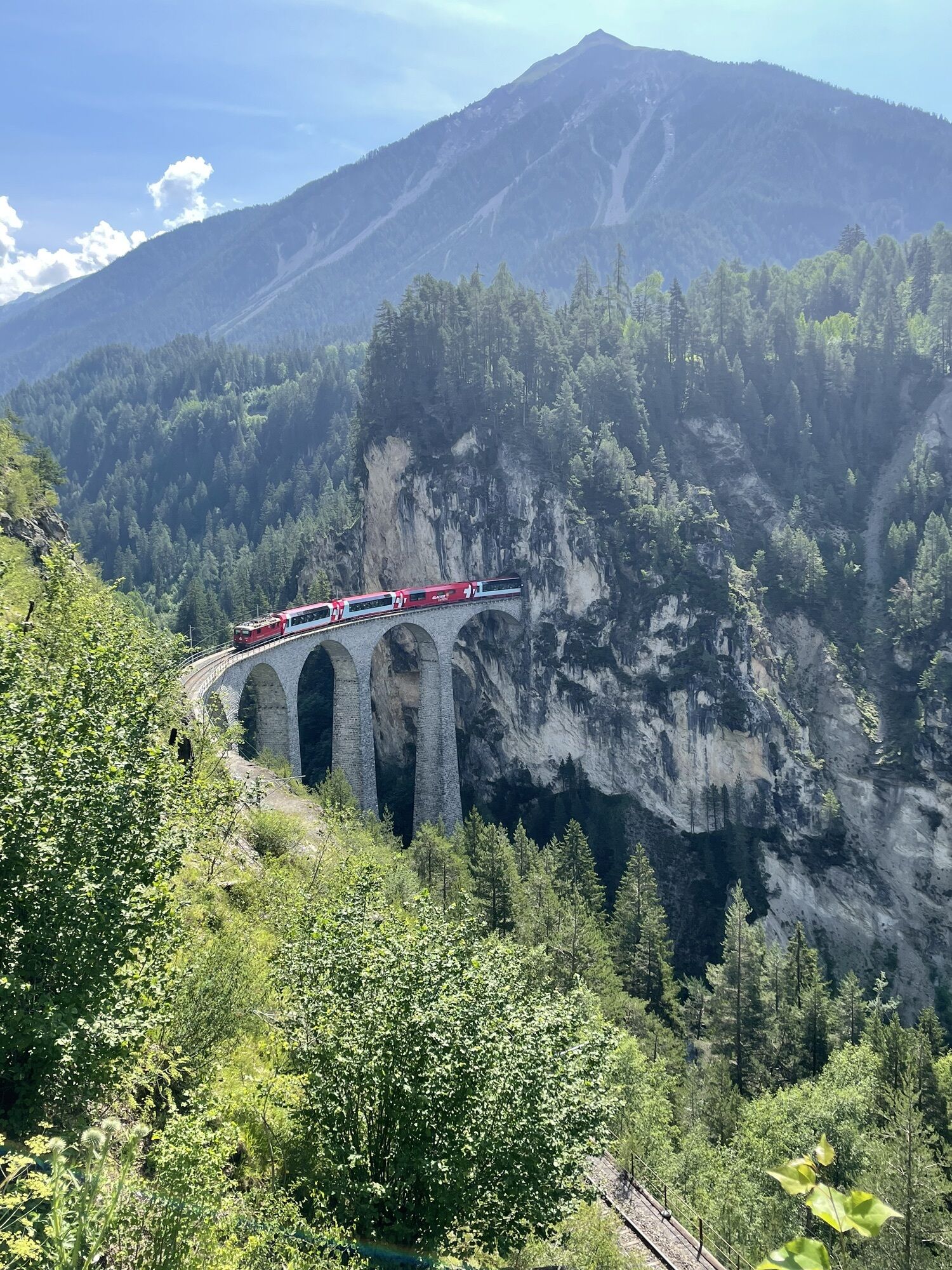
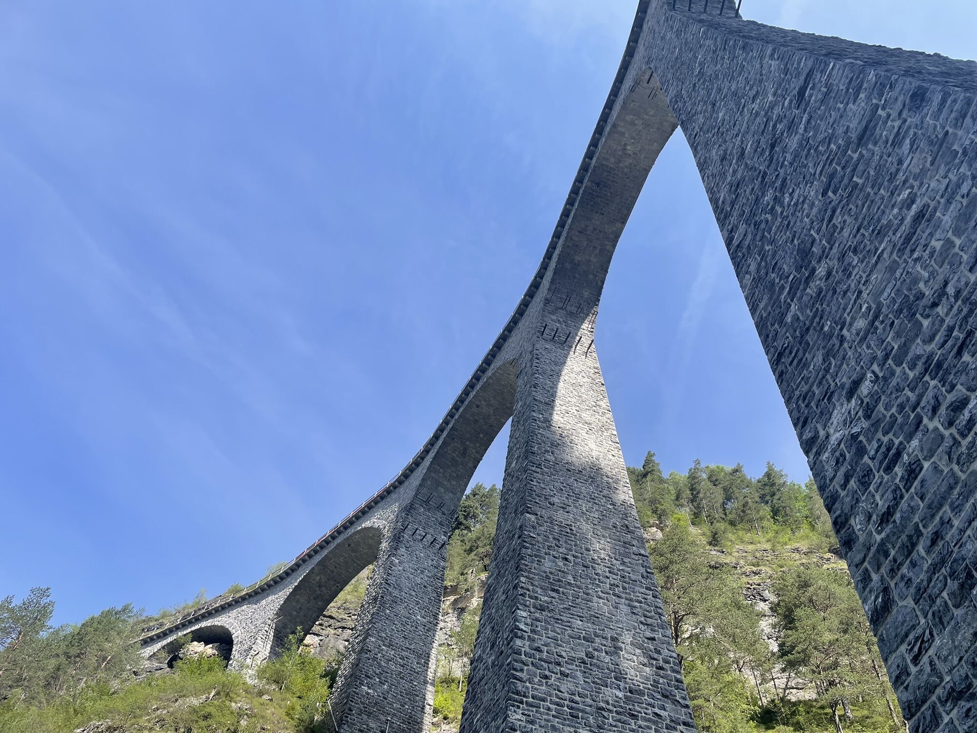
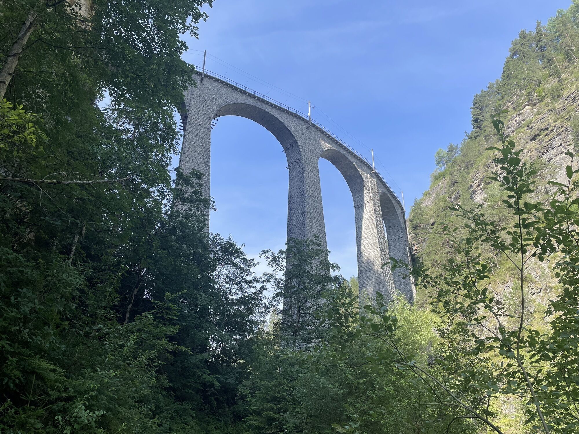
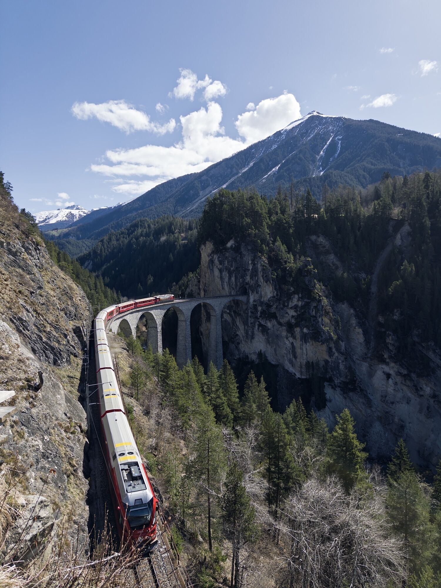
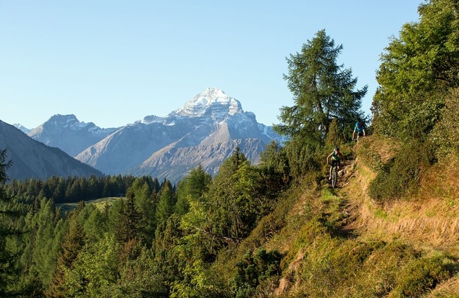
Ideally, start the Albula Haute Route in Crappa Naira. There is a PostBus stop here, which is easily accessible from Davos or Lenzerheide. The ascent starts immediately, initially along a forest road, then getting steeper. After Alp Pigni, only the very strong keep riding, others occasionally push for a few meters. Below Propissi, turn right and enter the first singletrail at Ruoinas. At Plaun Crappa Naira, climb a bit more to reach the alpine settlement Aclas Dafora via another trail. Then ascend towards Alp da Creusch, but halfway switch right onto a singletrail. This trail starts narrow but becomes wider and more fun. At Ragleuna, there's a short pushing section to later reach Schmittner and Wiesner Alp on a singletrail. Now comes the highlight of the day: the descent into Platschtobel and then via Bärentritt to Wiesen Station. The singletrail fireworks never end; the route now follows the Landwasser River to the famous railway viaduct near Filisur. From here, take the train back to Davos or follow the mountain bike route to Tiefencastel and then take the PostBus back to Lenzerheide.
HOME OF TRAILS
By the way: At Wiesen station is the famous bridge from the "Home of Trails" video, where Danny MacAskill balances on the terrain wall over an approximately 84-meter-deep abyss.
Discover the Landwasser Bridge


From Basel and Zurich - Chur-Süd (Exit No. 17) - Lenzerheide.
From Milan - Lugano - San Bernardino Tunnel - Thusis - Chur (Exit Lenzerheide) - Lenzerheide.
Arrive by train to Chur, then transfer directly to the PostautoGraubünden buses and reach Lenzerheide within 30 minutes.
A free sports bus is available in the village.
S3
Webové kamery z prehliadky

Obľúbené výlety v okolí
-
4,6
749 Val Meltger suspension bridge trail
strednáTuristika 8,30 km -
3,9
Arosa-Medergen-Tritt-Latschüelfurgga-Strelapass-Davos
strednáTuristika 22,5 km -
Arosa-Schwellisee-Älplisee-Parpaner Rothorn
Turistika 12,3 km -
4,7
Arosa-Hörnli-Parpaner Rothorn-Lenzerheide
Turistika 11,9 km -
5,0
Alp Sanaspans - Rothorn
ťažkéTuristika 13,6 km -
3,5
Arosa-Maienfelder Furgga-Stafelalp-Davos
strednáTuristika 15,9 km -
5,0
Eichhörnliweg Arosa
svetloTematická trasa 1,72 km -
5,0
Arosa-Hörnli-Urdenfürrgli-Alp Scharmoin-Lenzerheide
strednáTuristika 15,3 km -
5,0
4-Viaduct hike
strednáTuristika 13,6 km -
5,0
767 Alteinsee Schiesshorn
strednáTuristika 11,9 km
Turistika a stopovanie


Nenechajte si ujsť ponuky a inšpiráciu na ďalšiu dovolenku
Vaša e-mailová adresa bol pridaný do poštového zoznamu.


