


Inn Cycle Route: Stage 2 La Punt - Zernez
Úroveň náročnosti: 3
Fotografie našich používateľov
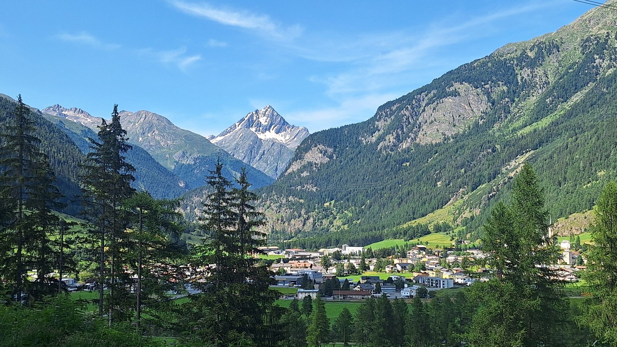
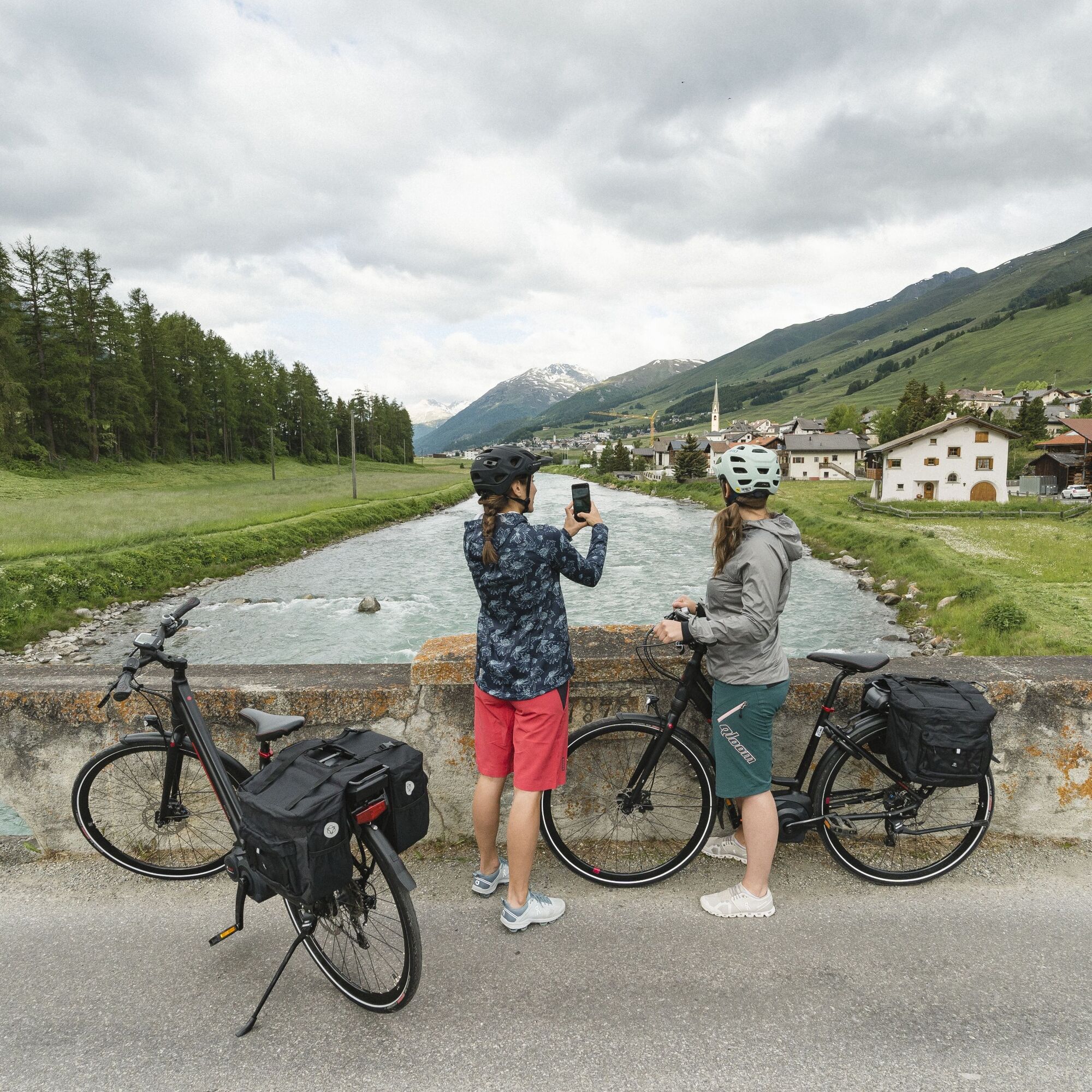
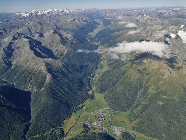
The second stage of the Inn Cycle Route leads from La Punt via Madulain, Zuoz and S-chanf with their elegant peasants' and patrician houses amidst an intact landscape. Through dense forest, after a longer...
The second stage of the Inn Cycle Route leads from La Punt via Madulain, Zuoz and S-chanf with their elegant peasants' and patrician houses amidst an intact landscape. Through dense forest, after a longer descent, you reach Zernez, passing the small village of Cinuos-chel, which as a part of S-chanf is the last political community in the Upper Engadine.
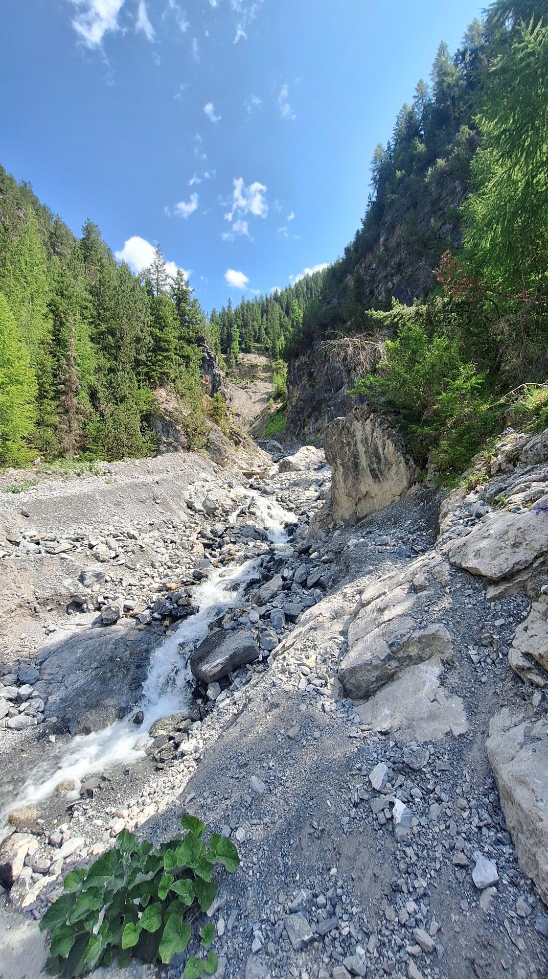
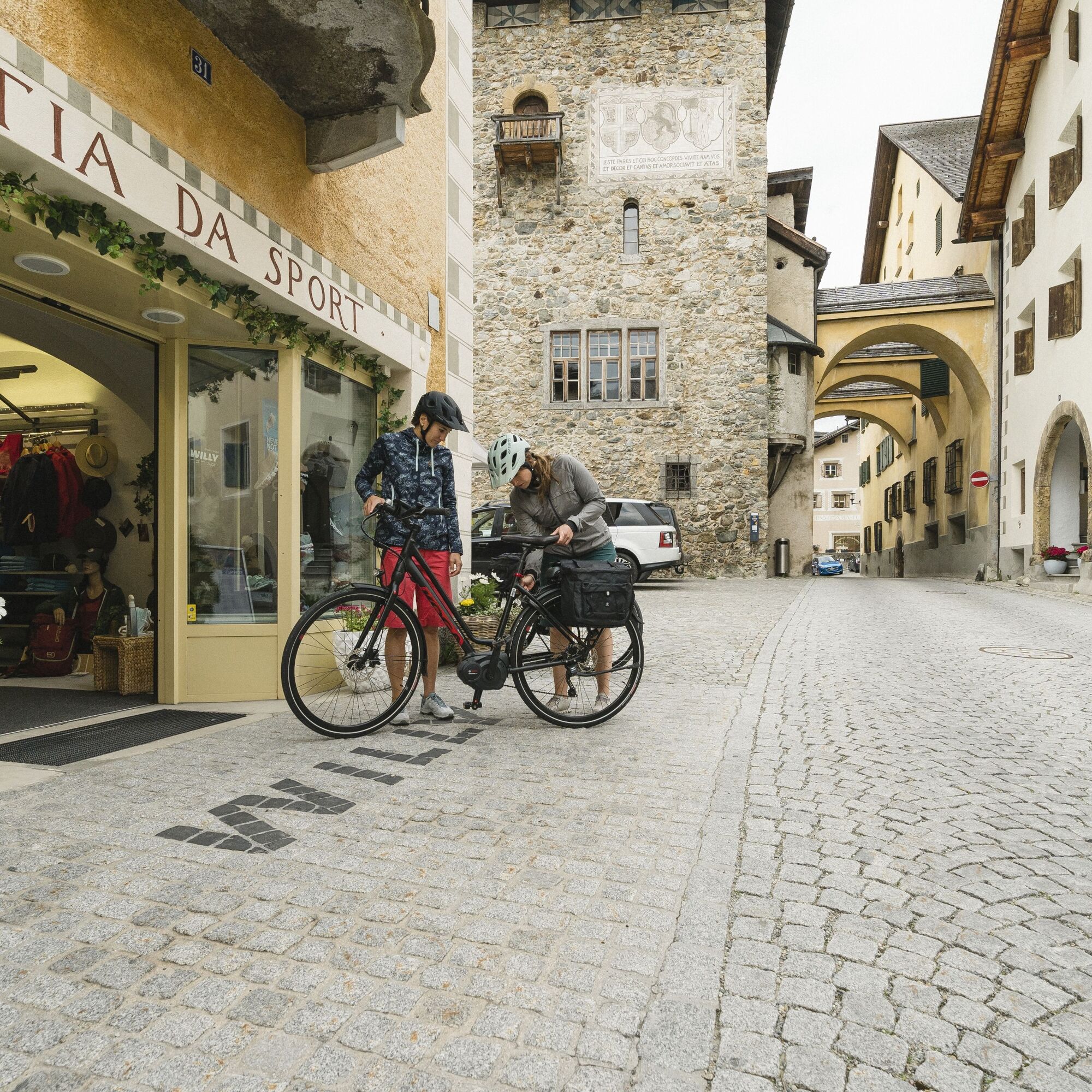
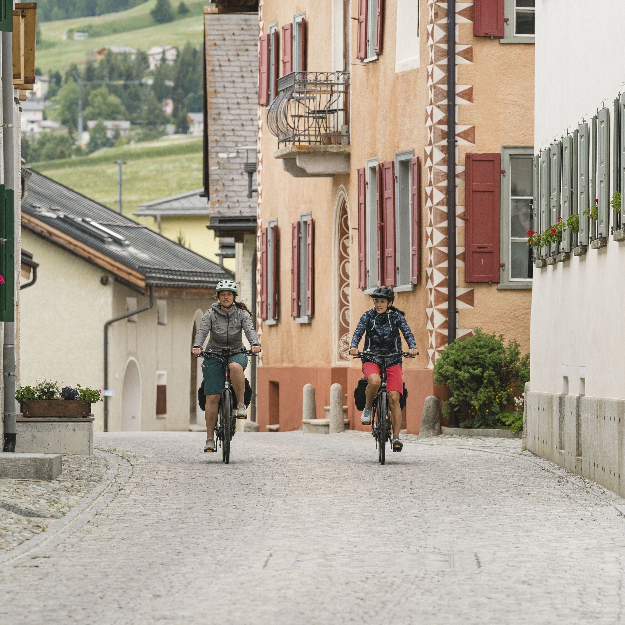
From La Punt you first cycle along the golf course to Zuoz and continue next to the main road up to just before S-chanf. There the Inn Cycle Route branches off into the village S-chanf. Past the beautiful Engadine houses and the reformed church, you then cross back over the bridge to the other side of the Inn at the exit of the village. You now follow this through a beautiful coniferous forest up and down to Zernez. In between you cross the border between the Upper and Lower Engadine.
The Inn Cycle Route is marked with the number 65 by Veloland Switzerland.
Further information
Engadin St. Moritz Tourismus AG
Via Maistra 1
CH-7500 St. Moritz
Phone: +41 81 830 00 01
E-mail: allegra@engadin.ch
Internet: www.engadin.ch
La Punt - Zuoz - S-chanf - Zernez
3
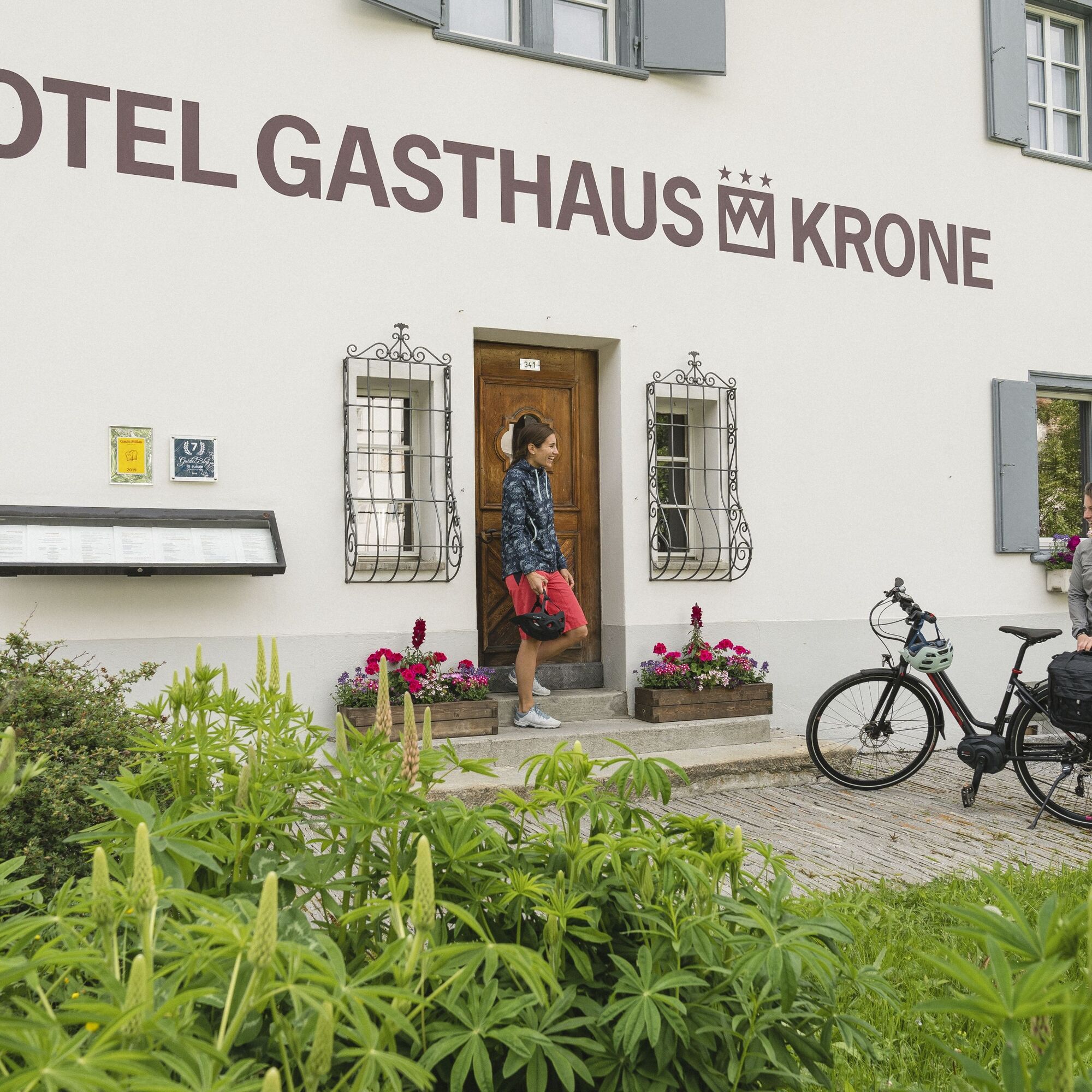
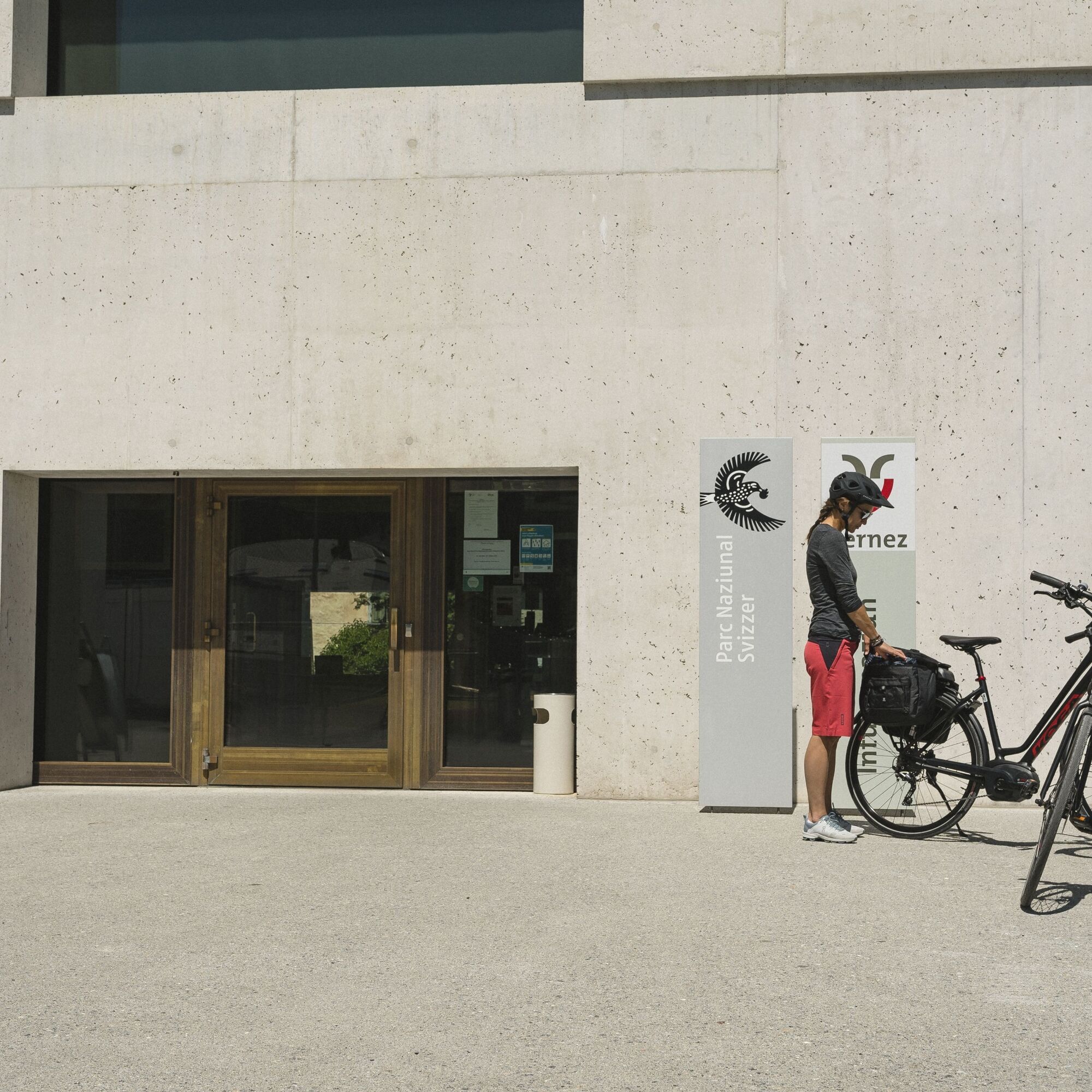
If you still have time in Zernez, a visit to the National Park Museum is worthwhile.
Obľúbené výlety v okolí
-
4,8
Circular hike Val Trupchun in the Swiss National Park
strednáTuristika 13,8 km -
4,8
National park: Zernez – Munt Baselgia – Macun lakes – Alp Zeznina – Lavin
ťažkéTuristika 22,9 km -
4,8
National Park: Grimmels (circular hike)
svetloTuristika 6 km -
Flüelapass – Schwarzhorn (return)
strednáTuristika 7,92 km -
5,0
Crap da la Pare' with Joëlette
svetloTuristika 4,58 km -
4,5
Muottas Muragl - Fuorcla Muragl - Val Chamuera
strednáTuristika 17,6 km -
Kesch Trek Tour (4 stages)
strednádiaľková pešia trasa 47,6 km -
5,0
Fluela Schwarzhorn 3147 m
svetloVysoké turné 7,34 km -
5,0
National Park: Murtaröl
ťažkéTuristika 15,6 km -
4,7
Bever-Spinas (Val Bever)
svetloZimná turistika 4,06 km
Turistika a stopovanie


Nenechajte si ujsť ponuky a inšpiráciu na ďalšiu dovolenku
Vaša e-mailová adresa bol pridaný do poštového zoznamu.