






Via Silenzi: snowshoe route from S-charl via Lü to Ofenpass

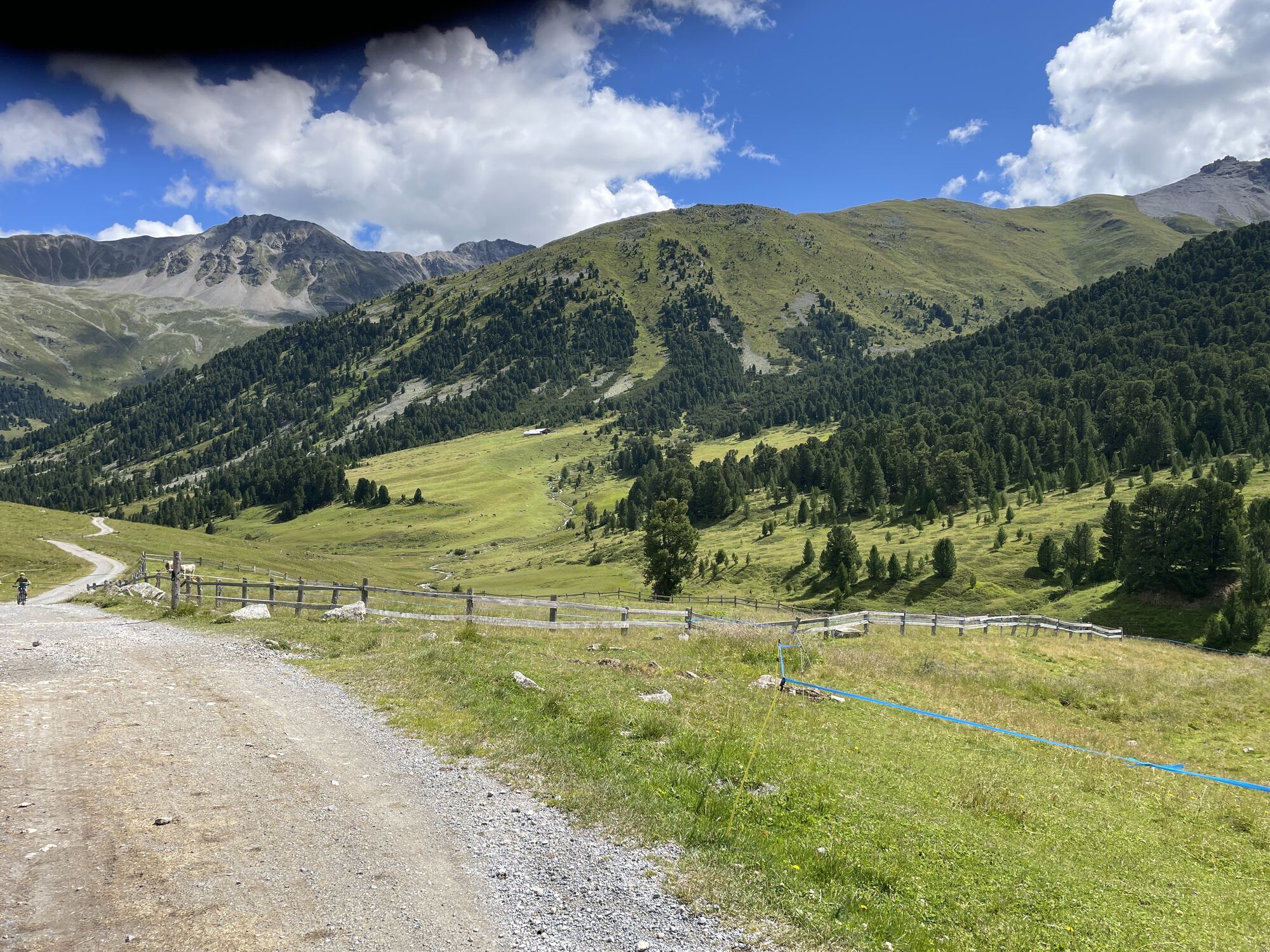
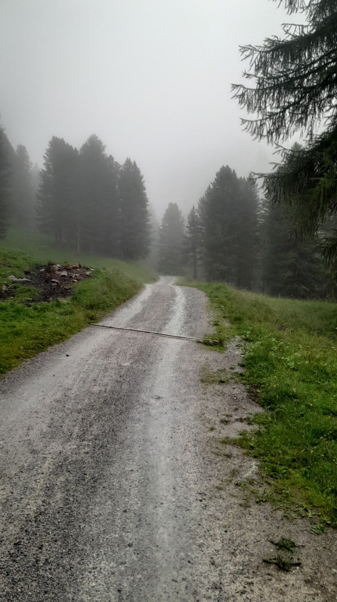

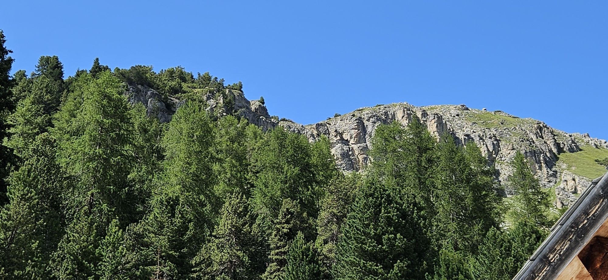
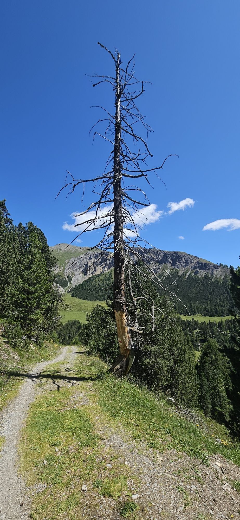
The starting point of the first stage is the small Engadin village of S-charl. This place can only be reached in winter by horse-drawn carriage, which runs daily between Scuol and S-charl. The route starts...
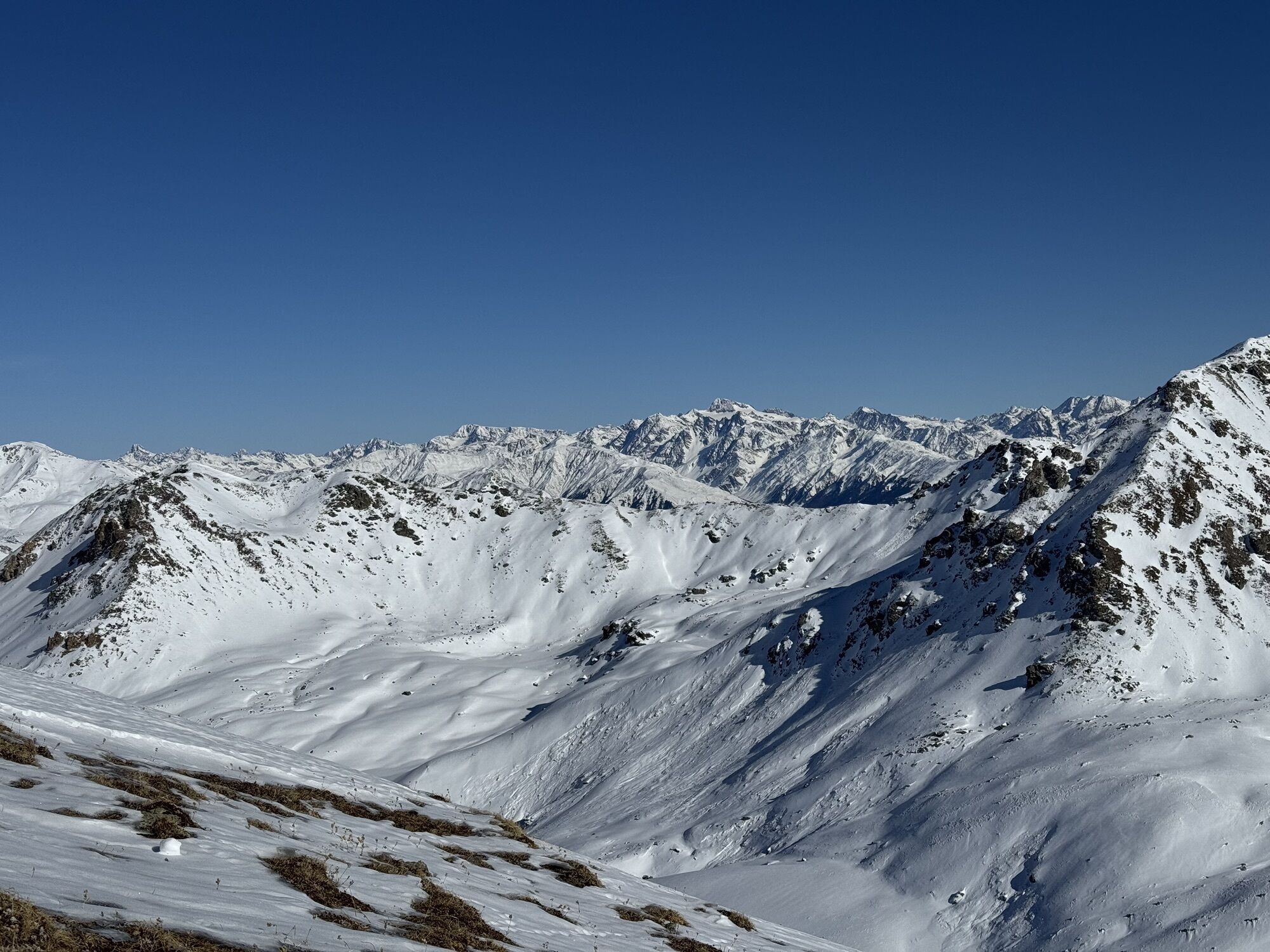
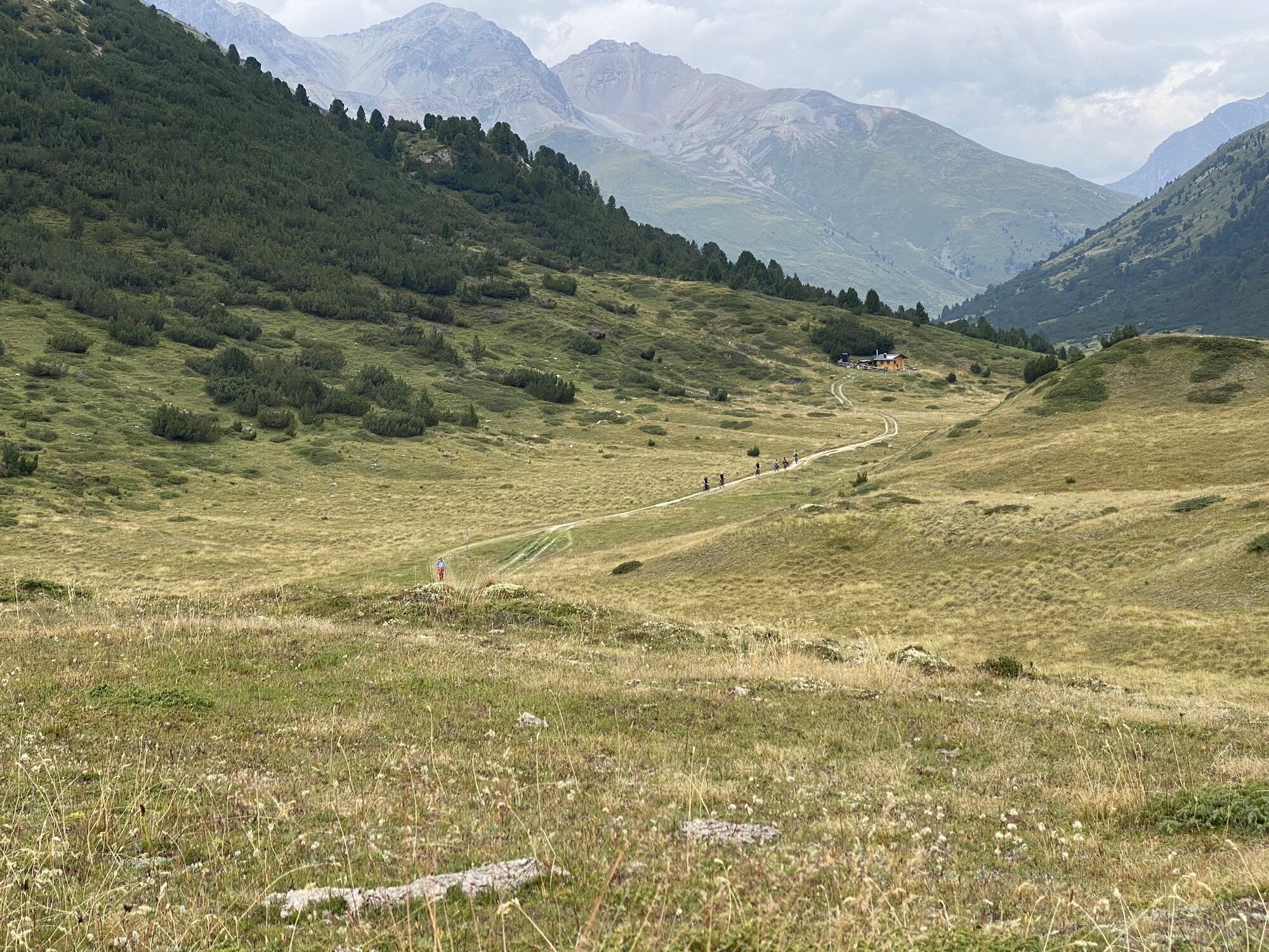
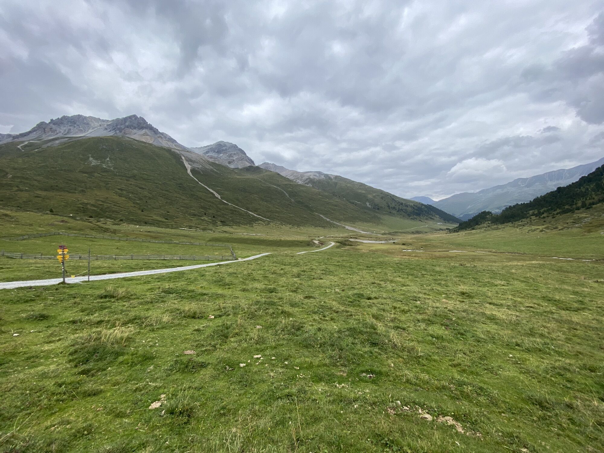
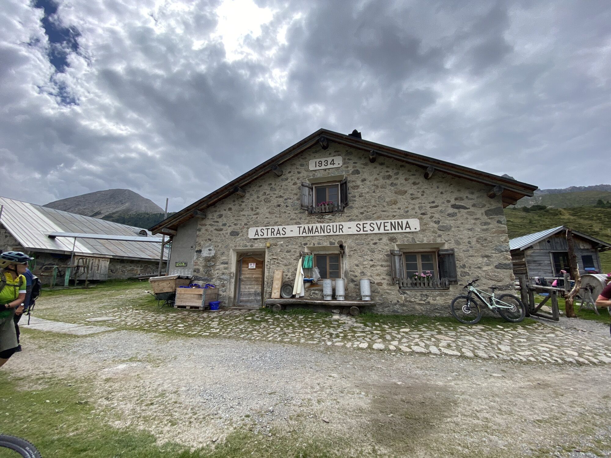
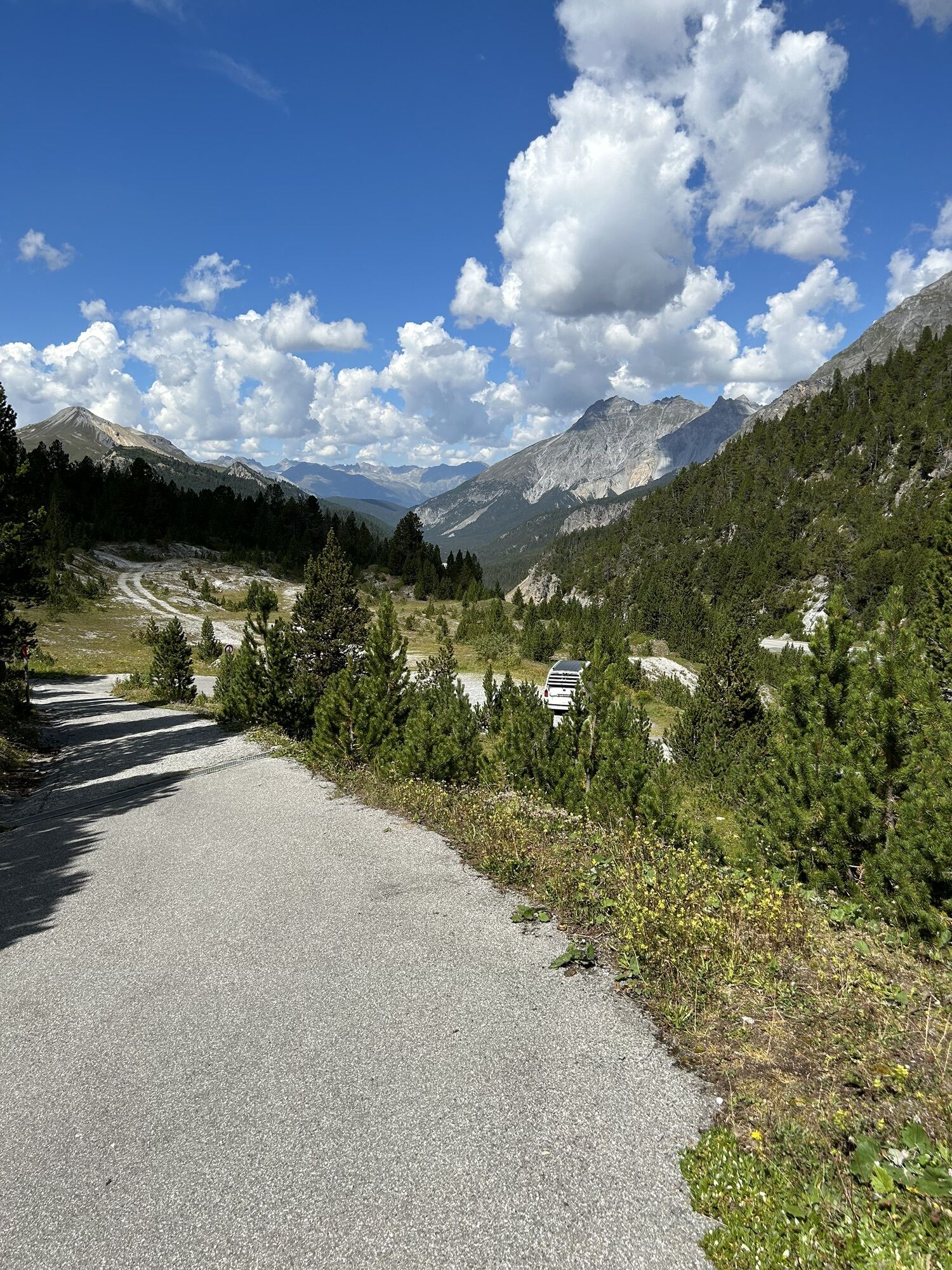
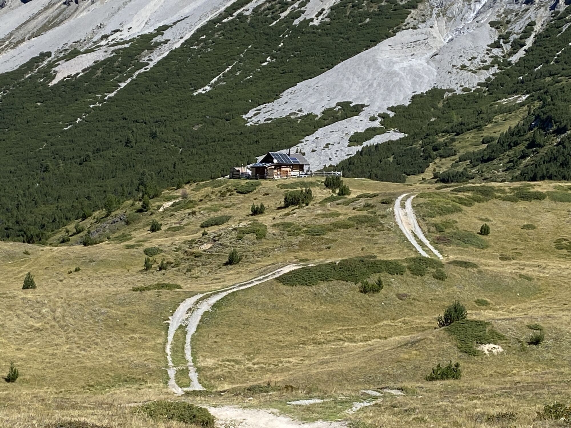
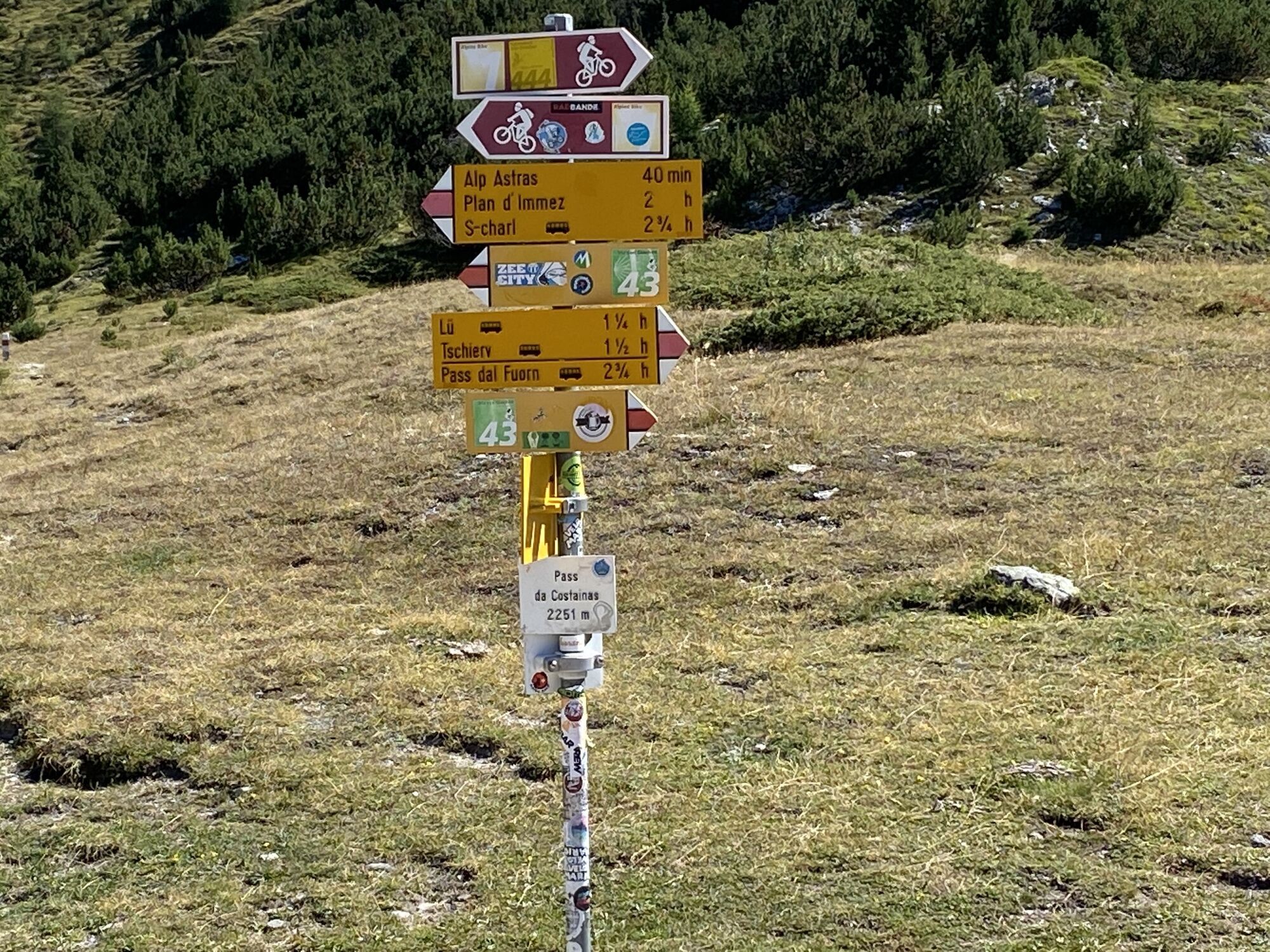
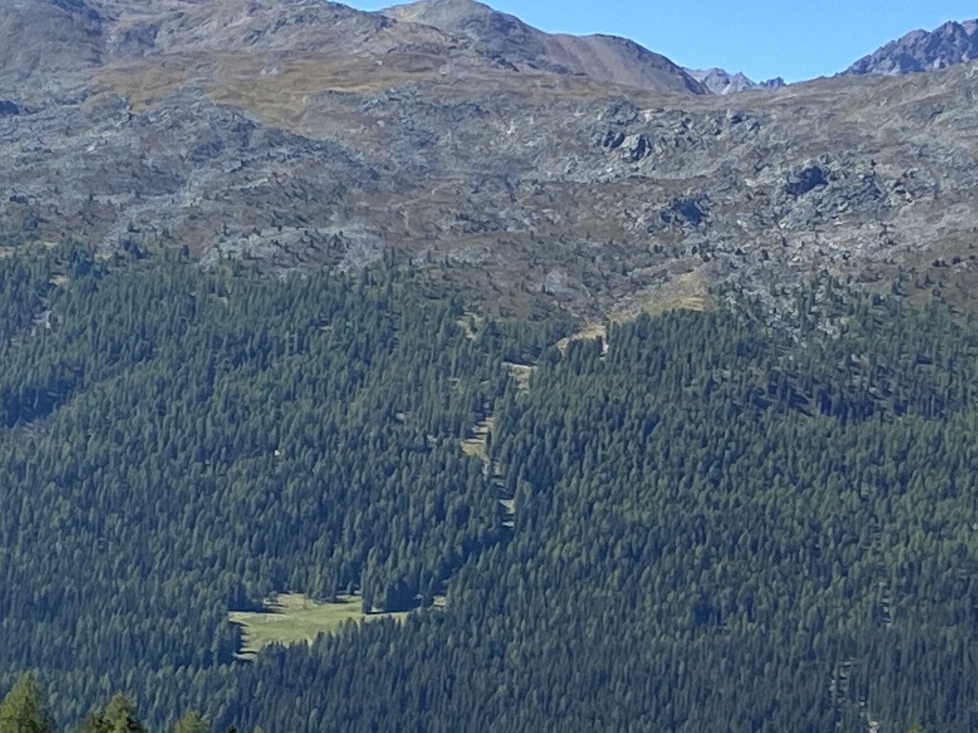
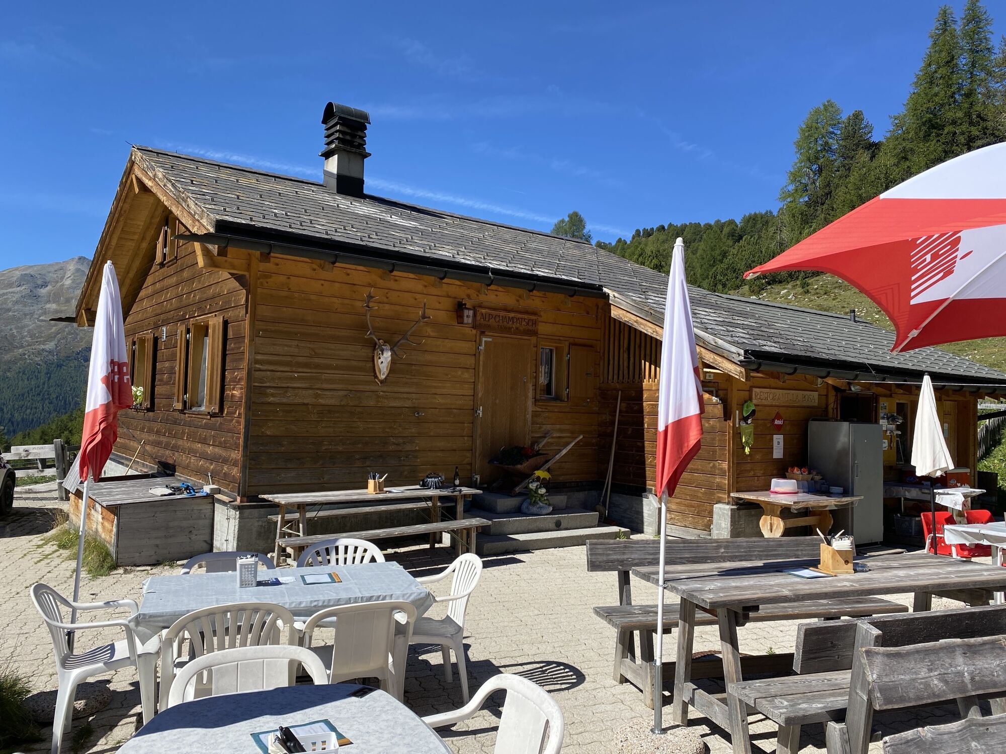
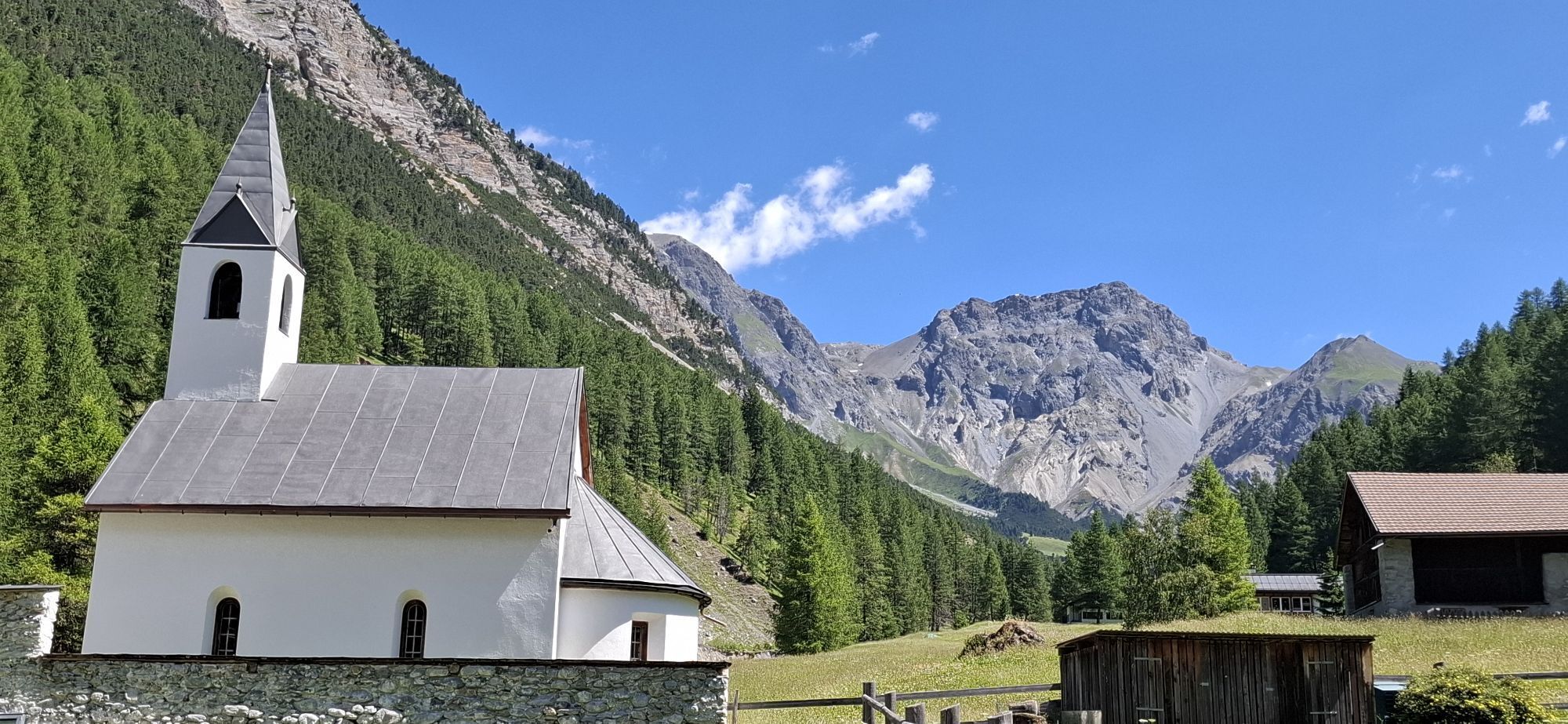
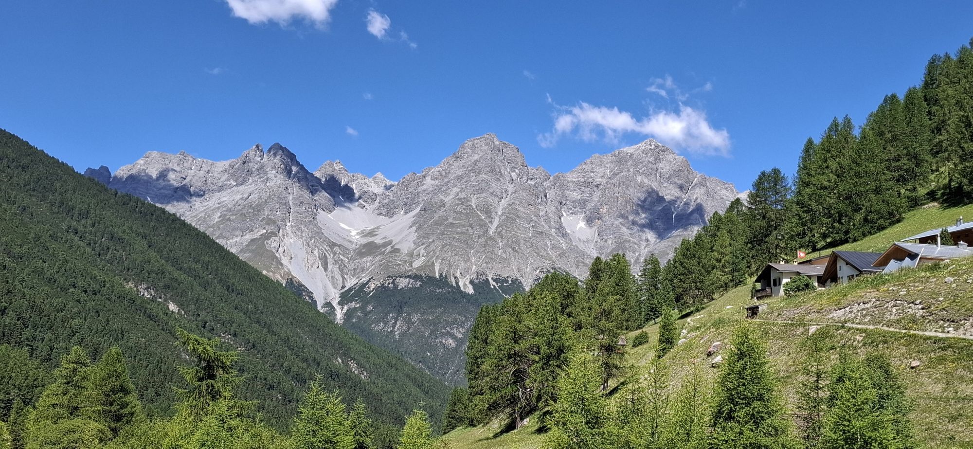
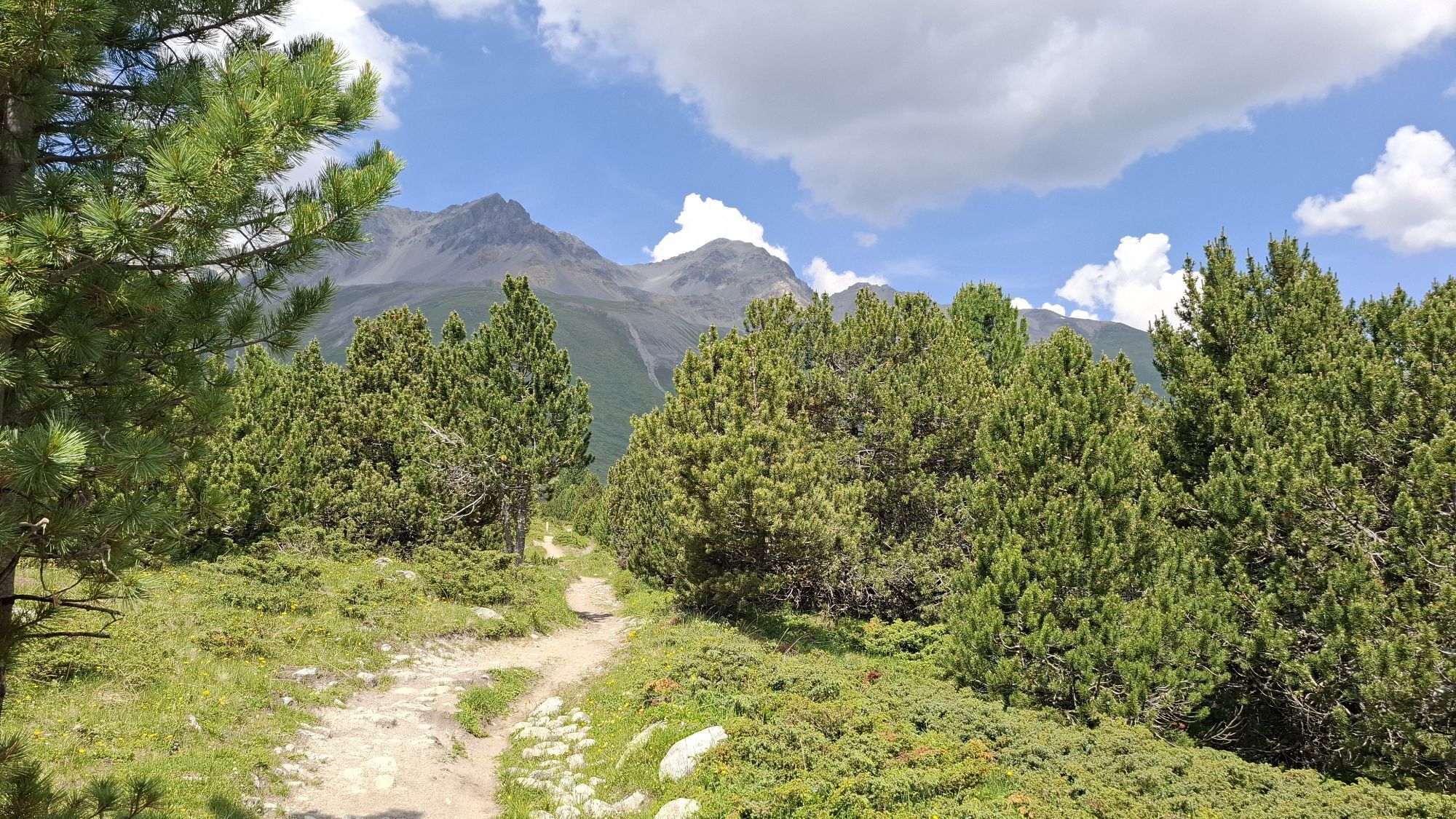
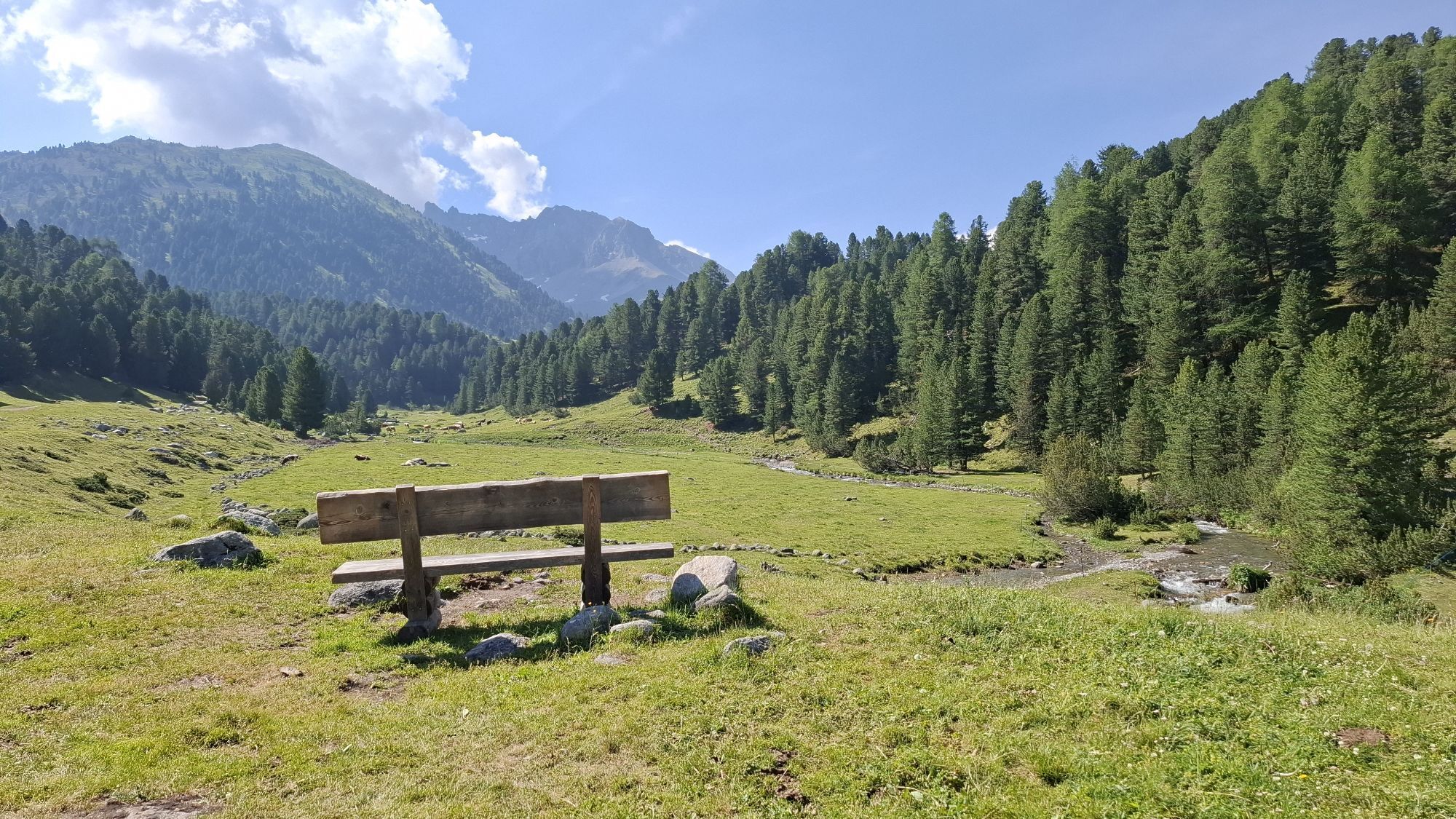
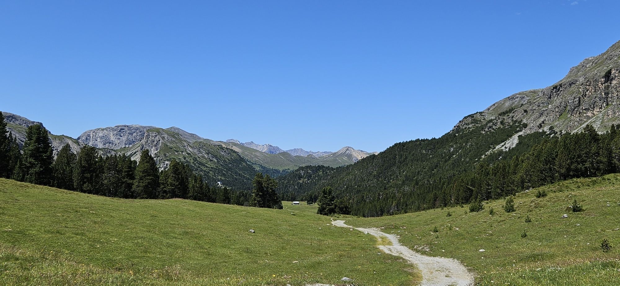
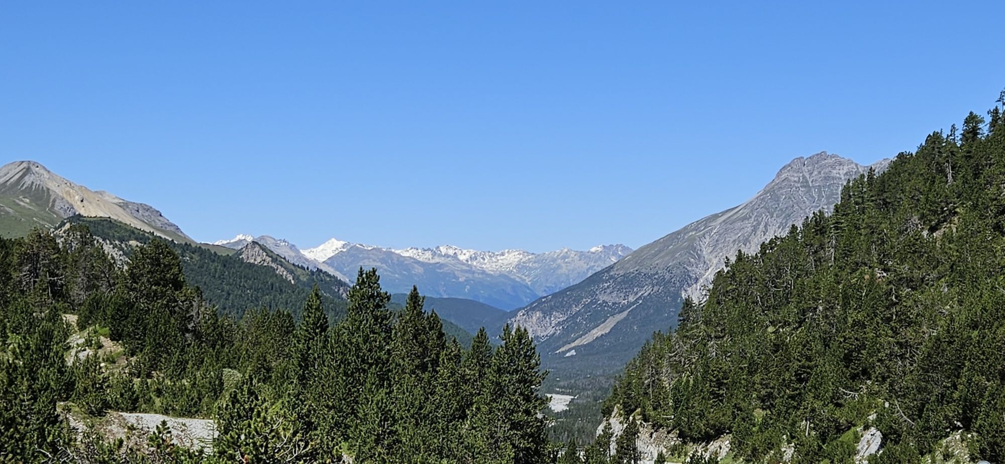
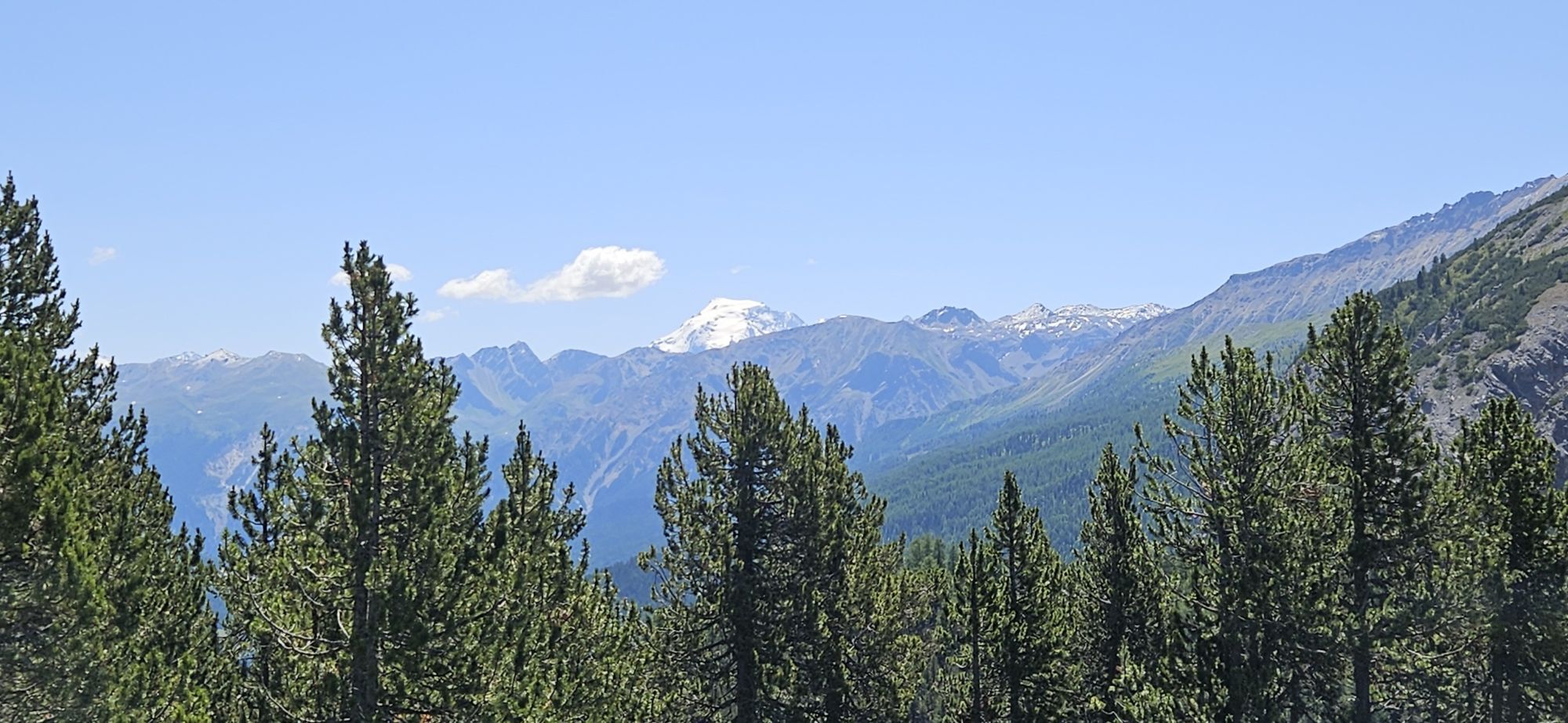
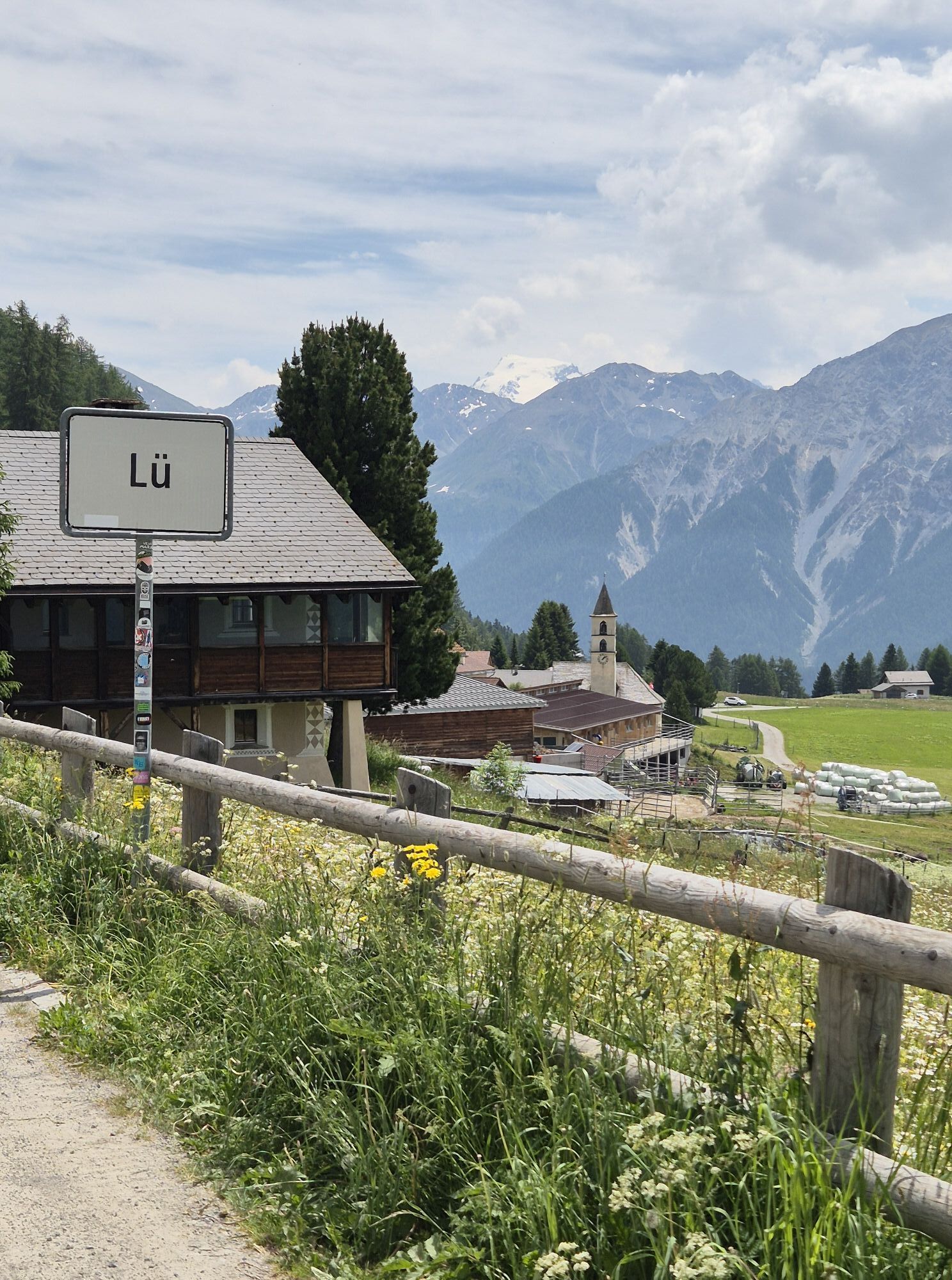
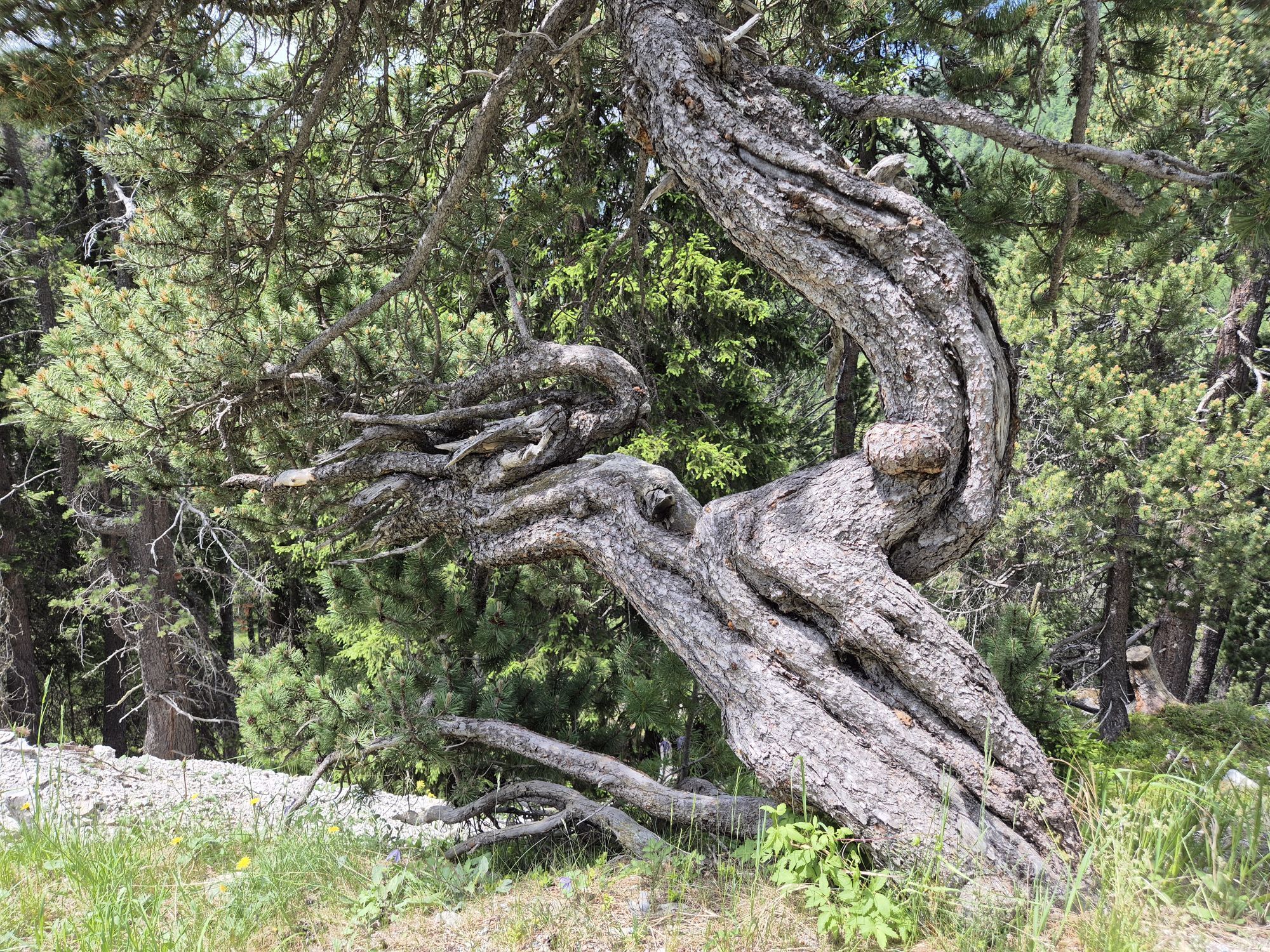
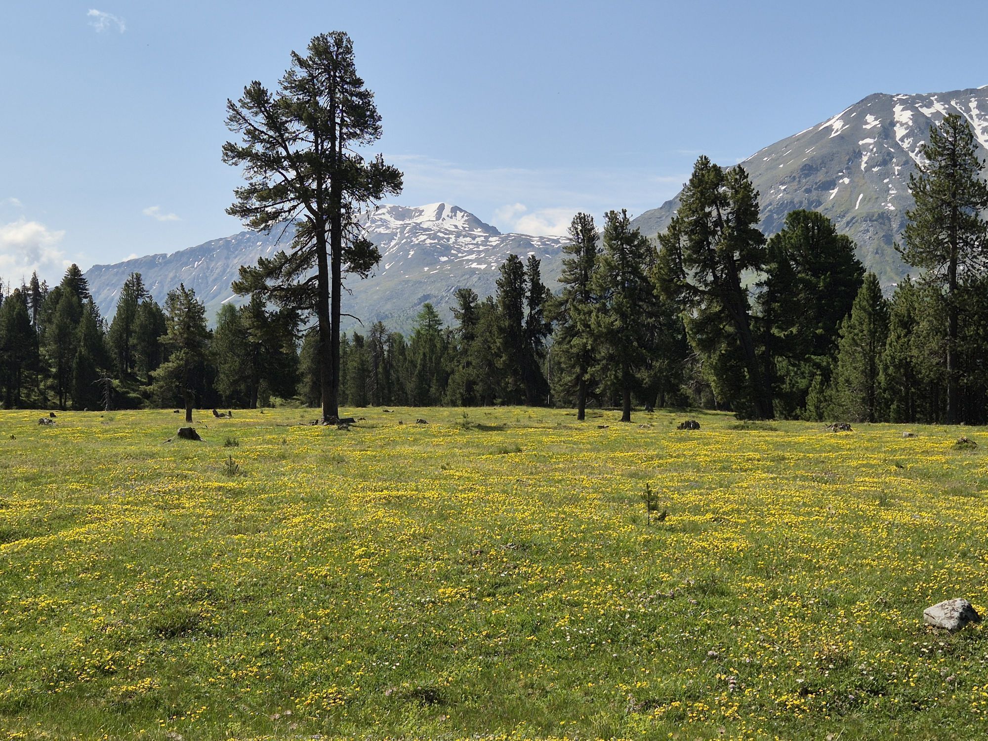
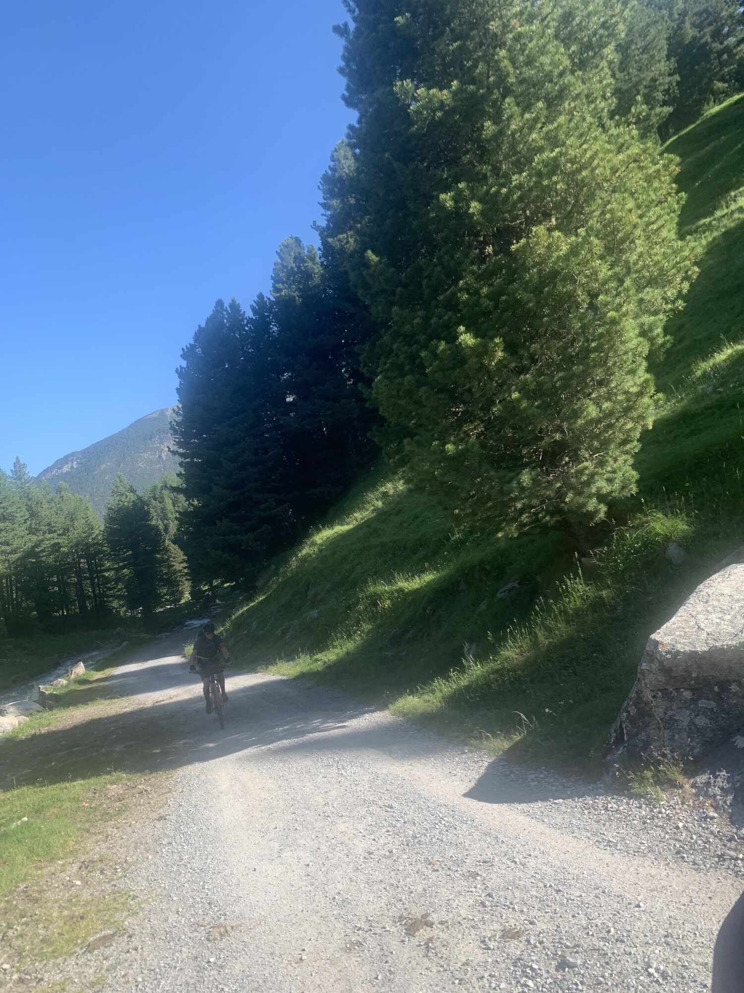
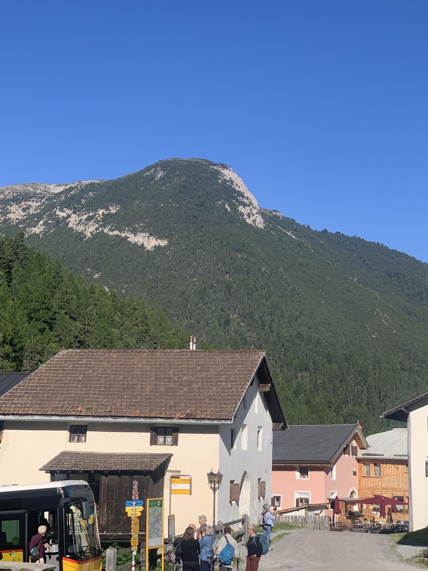
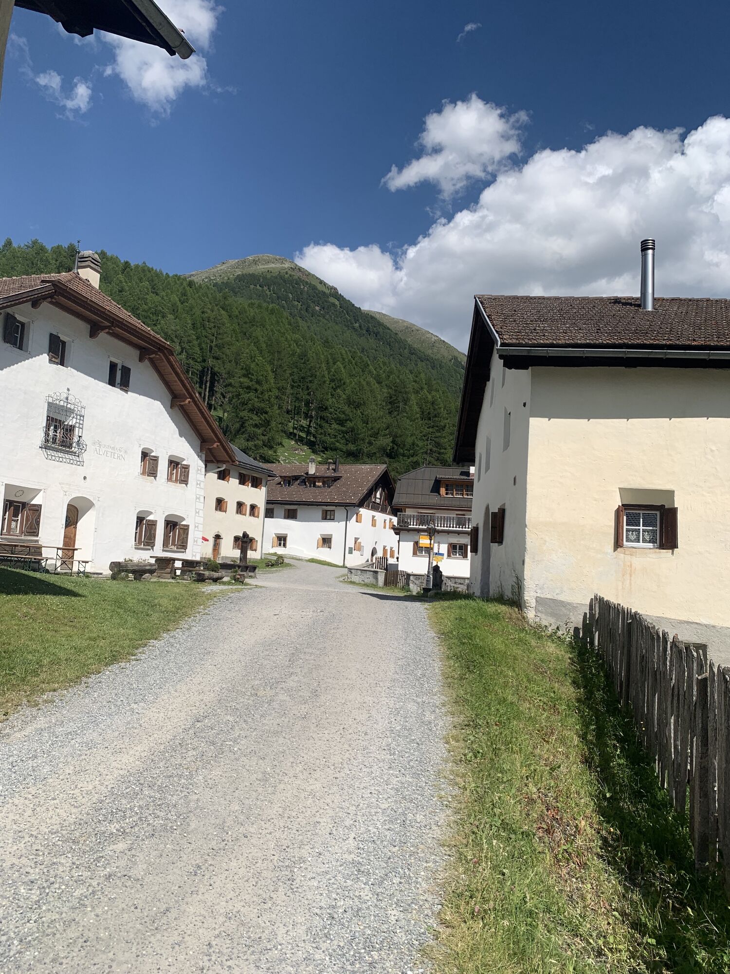
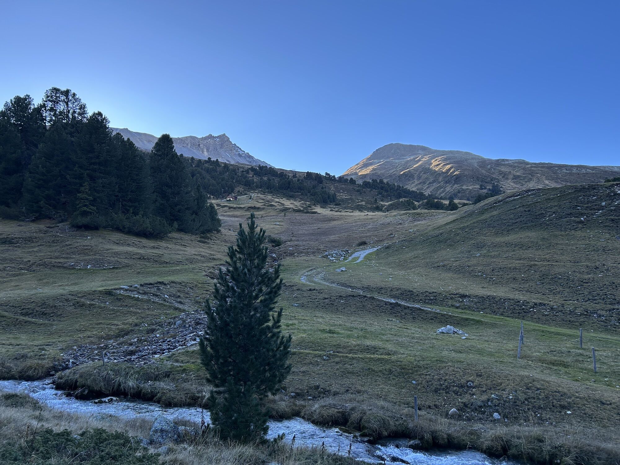
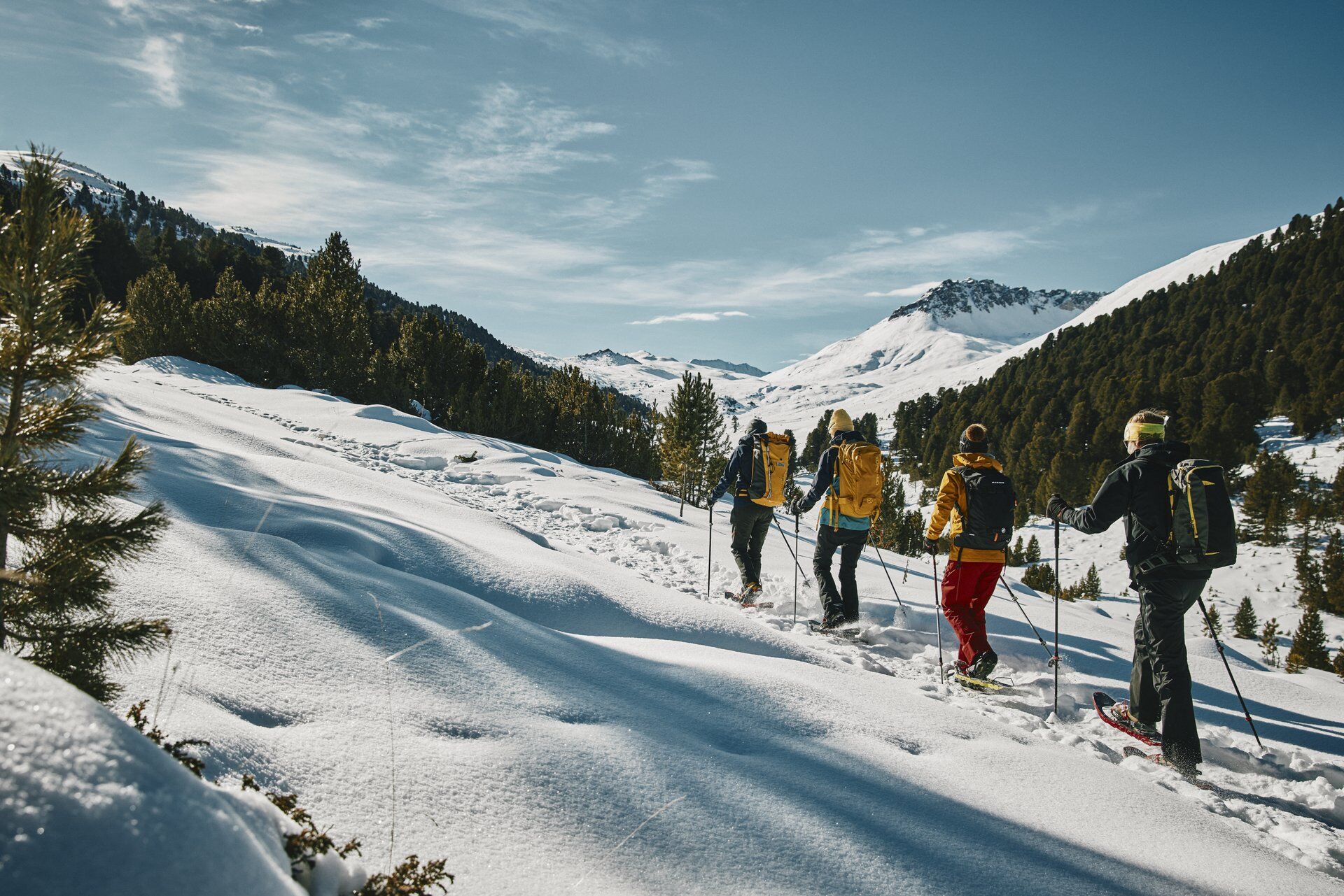
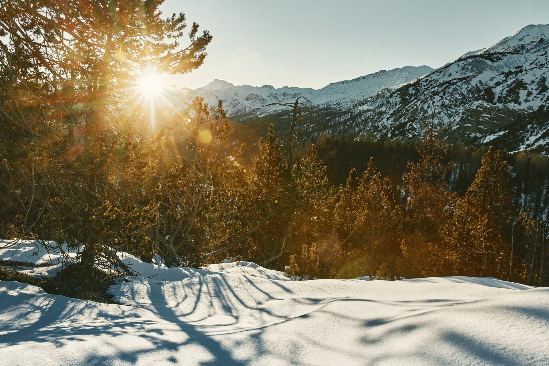
The starting point of the first stage is the small Engadin village of S-charl. This place can only be reached in winter by horse-drawn carriage, which runs daily between Scuol and S-charl. The route starts from the Gasthaus Mayor. Shortly after leaving the village, it goes gently uphill parallel to the Clemgia river towards the south. Along the way, you pass Alp Astras and the God da Tamangur, the highest continuous Swiss stone pine forest in Europe at 2,300 m above sea level, before reaching the highest point of the day, the Pass da Costainas. Afterwards, the descent leads past Alp Champatsch into the small village of Lü in Val Müstair, the endpoint of this tour.
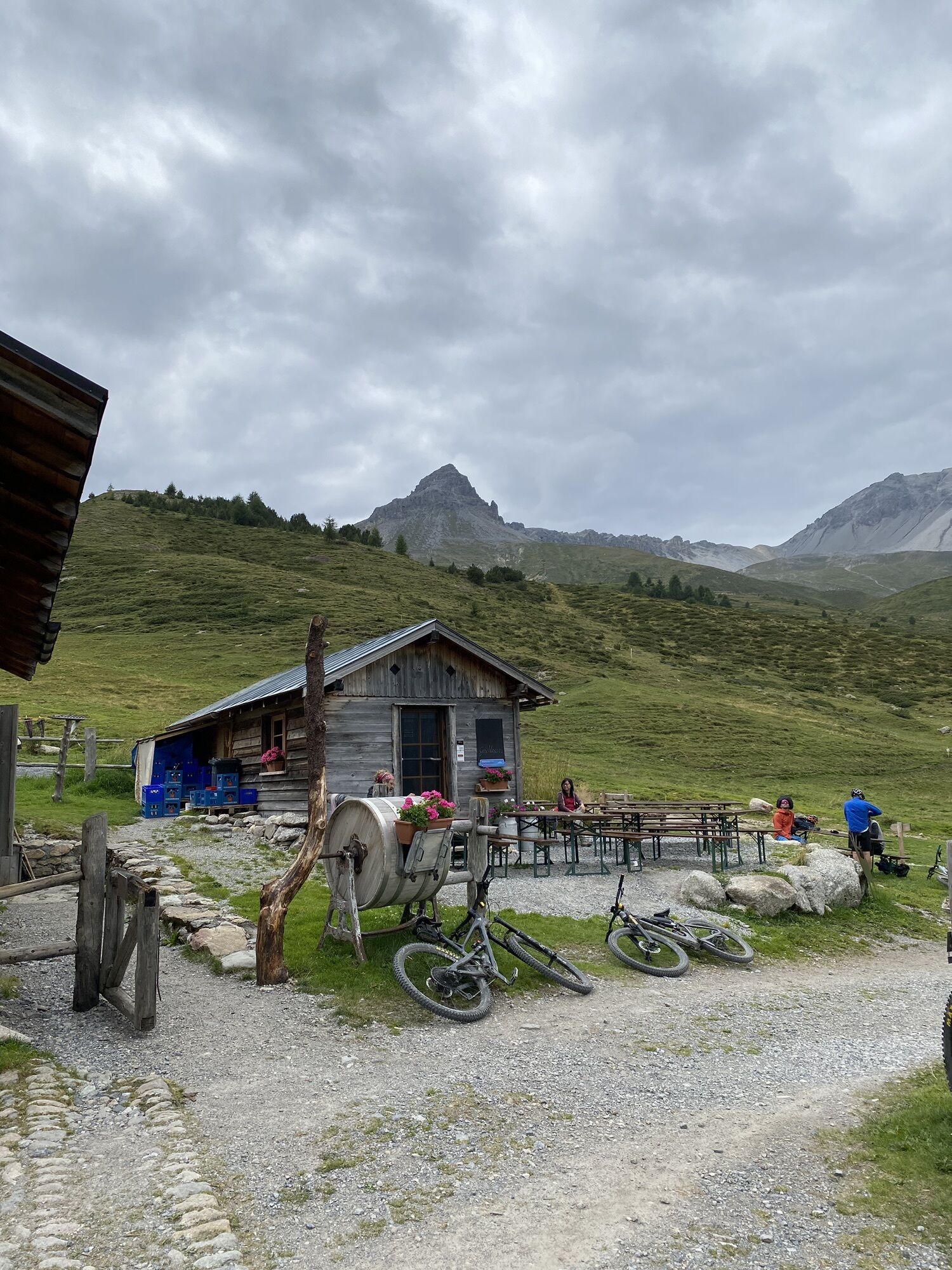
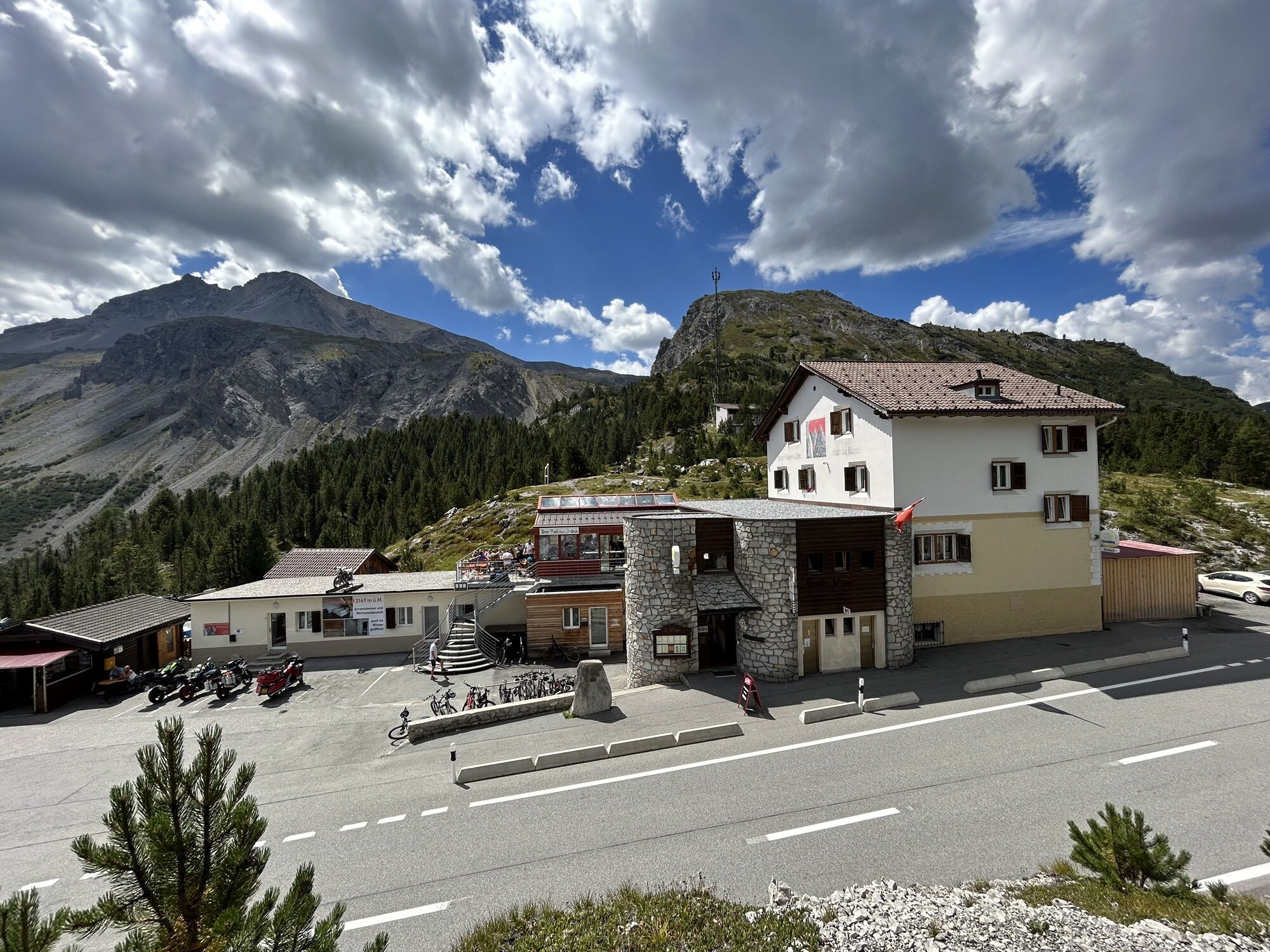
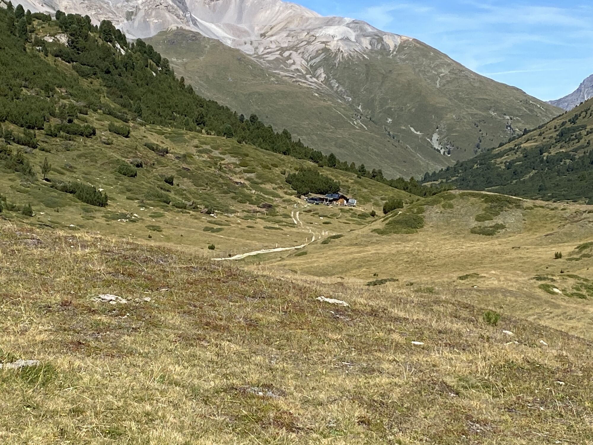
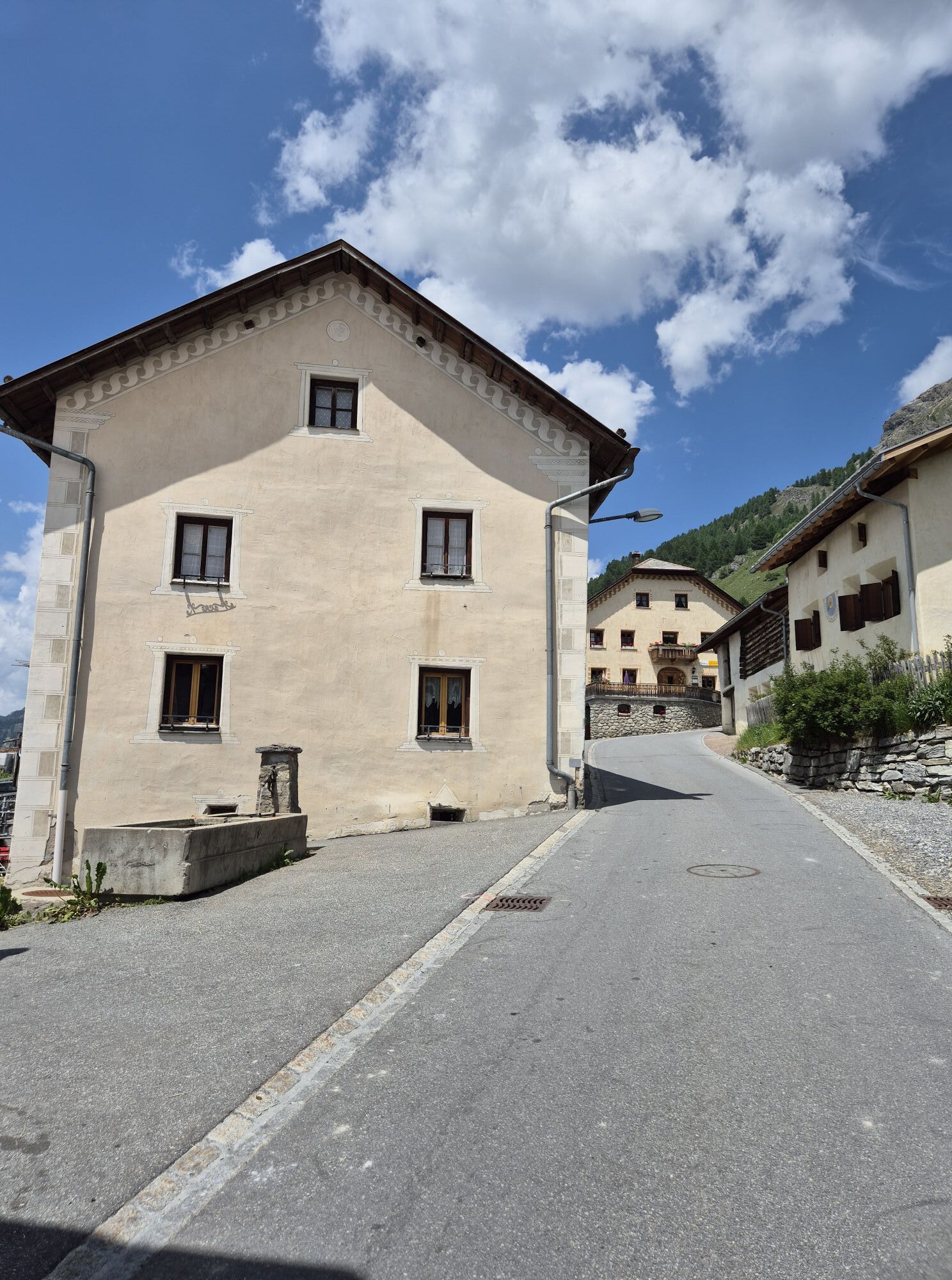
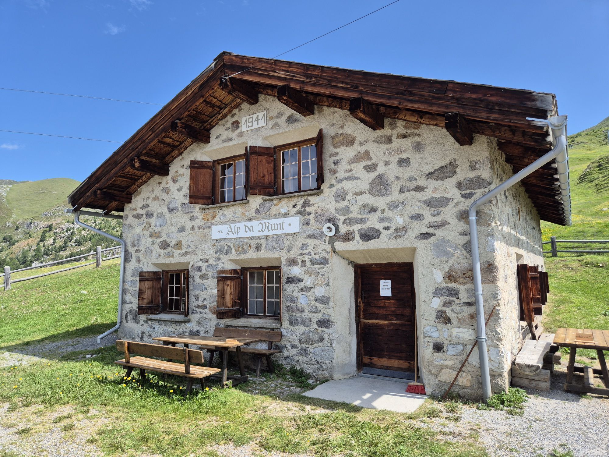
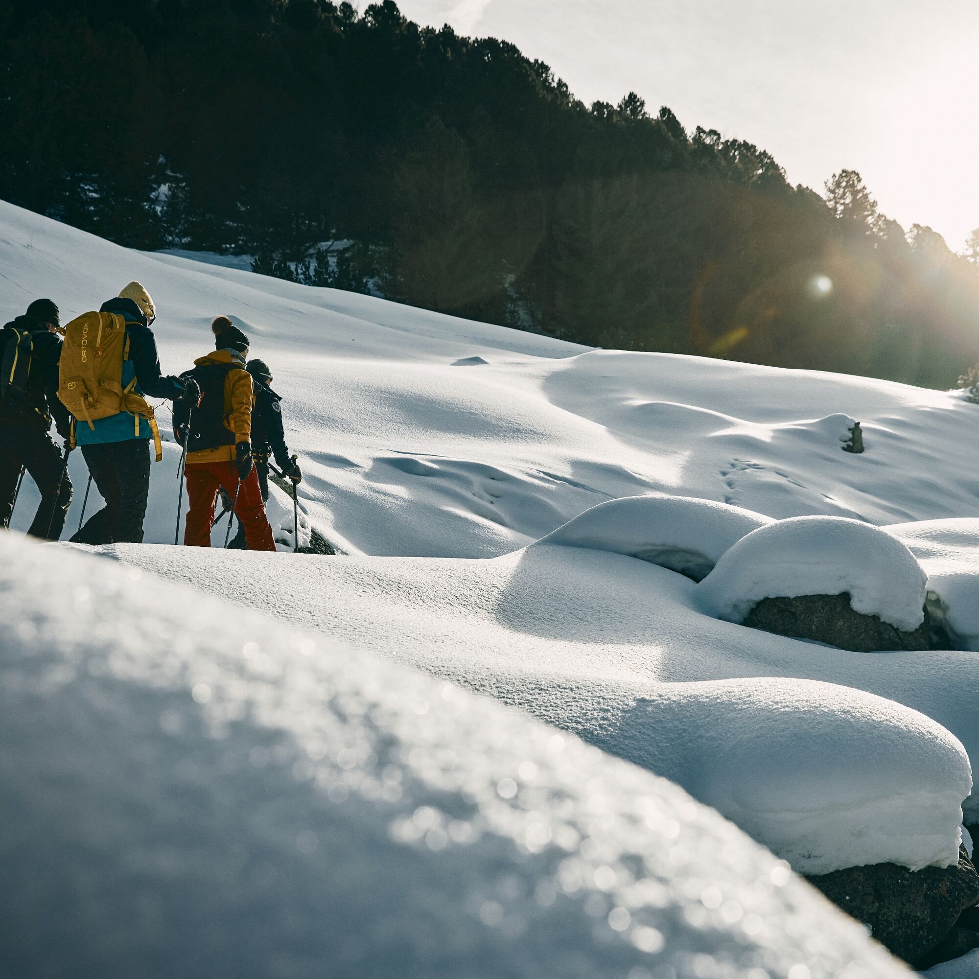
The second stage starts in the small village of Lü in Val Müstair. From the western end of the village, an alpine path leads in a gentle ascent toward Alp Champatsch. The alpine pasture lies somewhat west in the wide valley basin at the foot of the Pass da Costainas. It is operated in winter and is a good place for wildlife observation. After the hut, we leave the winter hiking trail and move on the eastern flank of Minschuns toward the north. Then it continues over the Fuorcla Funtana da S-charl to Alp da Munt, a staffed hut in the small ski area of Val Müstair. From here, the route heads westward, always at the same elevation, toward the Ofenpass. At Plaun dals Bovs the Ofenpass road must be crossed, and the winter hiking trail to the Hotel Süsom Give followed. The final small ascent takes about 20 minutes.






From S-charl along the river to Alp Astras
Then continue straight ahead to Pass da Costainas
Descent towards Lü
Ascent from Lü on the winter hiking trail to Alp Champatsch
Then off the hiking trail over Fuorcla Funtana da S-charl to Alp da Munt
From Alp da Munt continue westwards to Plaun dal Bovs
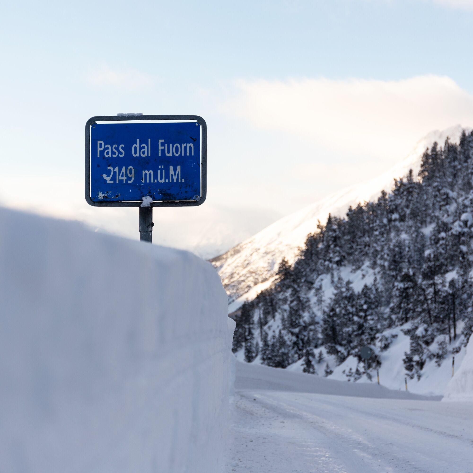
Cross the Ofenpass road and continue on the winter hiking trail up to the pass height
Winter clothing, snowshoes, poles, provisions, avalanche transceiver, shovel and probe
Snowshoe routes are undertaken at your own risk. The route is not marked. We recommend consulting the avalanche report (www.slf.ch) before starting the route.
By the Rhaetian Railway from Chur, Landquart/Prättigau to Scuol-Tarasp. From the station, continue by shuttle to the departure point of the horse-drawn sleighs, which will then take you to S-charl or the Gasthaus Mayor. The shuttle or horse-drawn sleigh must be booked in advance.
Free parking is available in Scuol at the Gurlaina ice rink. From the parking lot, a shuttle runs to the departure point of the horse-drawn sleighs, which will then take you to S-charl or the Gasthaus Mayor. The shuttle or horse-drawn sleigh must be booked in advance.
The route has been rated under favorable weather conditions; current weather conditions and forecasts must be strictly observed before starting the route.
Emergency numbers:
144 emergency call, first aid I 1414 mountain rescue REGA I 112 international emergency call
Webové kamery z prehliadky
Získajte prehľad
Vždy naživo na mieste s viac ako 9 500 webovými kamerami. bergfex Ako používateľ Pro si teraz môžete pozrieť príslušné webové kamery pre mnohé zájazdy v aplikácii zájazdy z. Môžete si tak priamo prezerať aktuálne podmienky.

Obľúbené výlety v okolí
-
5,0
Mountain restaurant Plantaptasch (without Lift)
strednáTuristika 3,42 km -
3,6
Easy hiking rout to the top of the Watles Moutain (2.550 m)
strednáTuristika 2,35 km -
4,5
Rundwanderweg Wattles und Sesvenna
svetloTuristika 16,4 km -
3,4
Sta.Maria, Prà da Vau - Lai da Rims - Alp Sot - Prà da Vau
ťažkéTuristika 14,7 km -
4,0
National Park: Margunet
svetloTuristika 7,76 km -
4,5
Tarasp Fontana – Sparsels – Lai Nair (circular route)
svetloTuristika 7,67 km -
4,8
National Park: Grimmels (circular hike)
svetloTuristika 6 km -
4,7
Bergwanderung Schlinig -Seswenahütte
strednáTuristika 13,6 km -
5,0
San Jon – Chamonna Lischana (return)
strednáTuristika 12,0 km -
5,0
National Park: Mot Tavrü
strednáTuristika 12,0 km
Turistika a stopovanie


Nenechajte si ujsť ponuky a inšpiráciu na ďalšiu dovolenku
Vaša e-mailová adresa bol pridaný do poštového zoznamu.





