


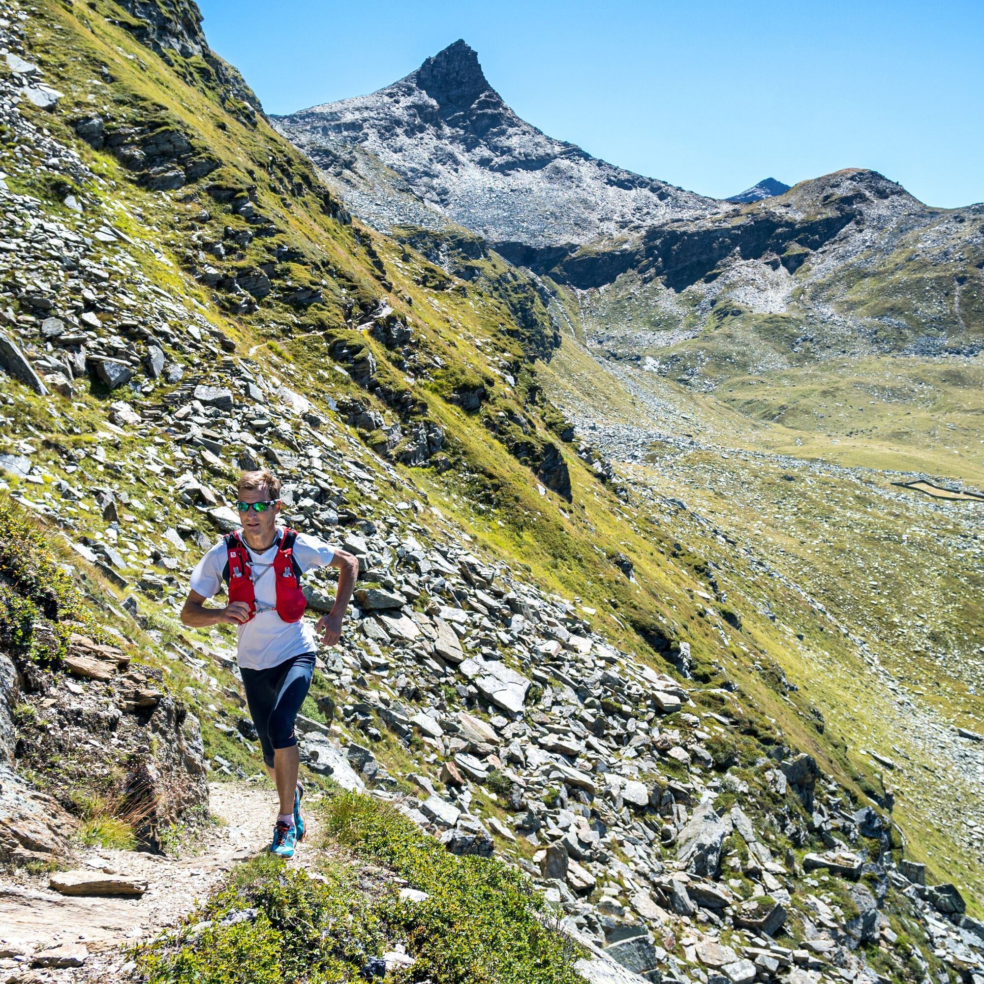
Trailrun 3-Lake route
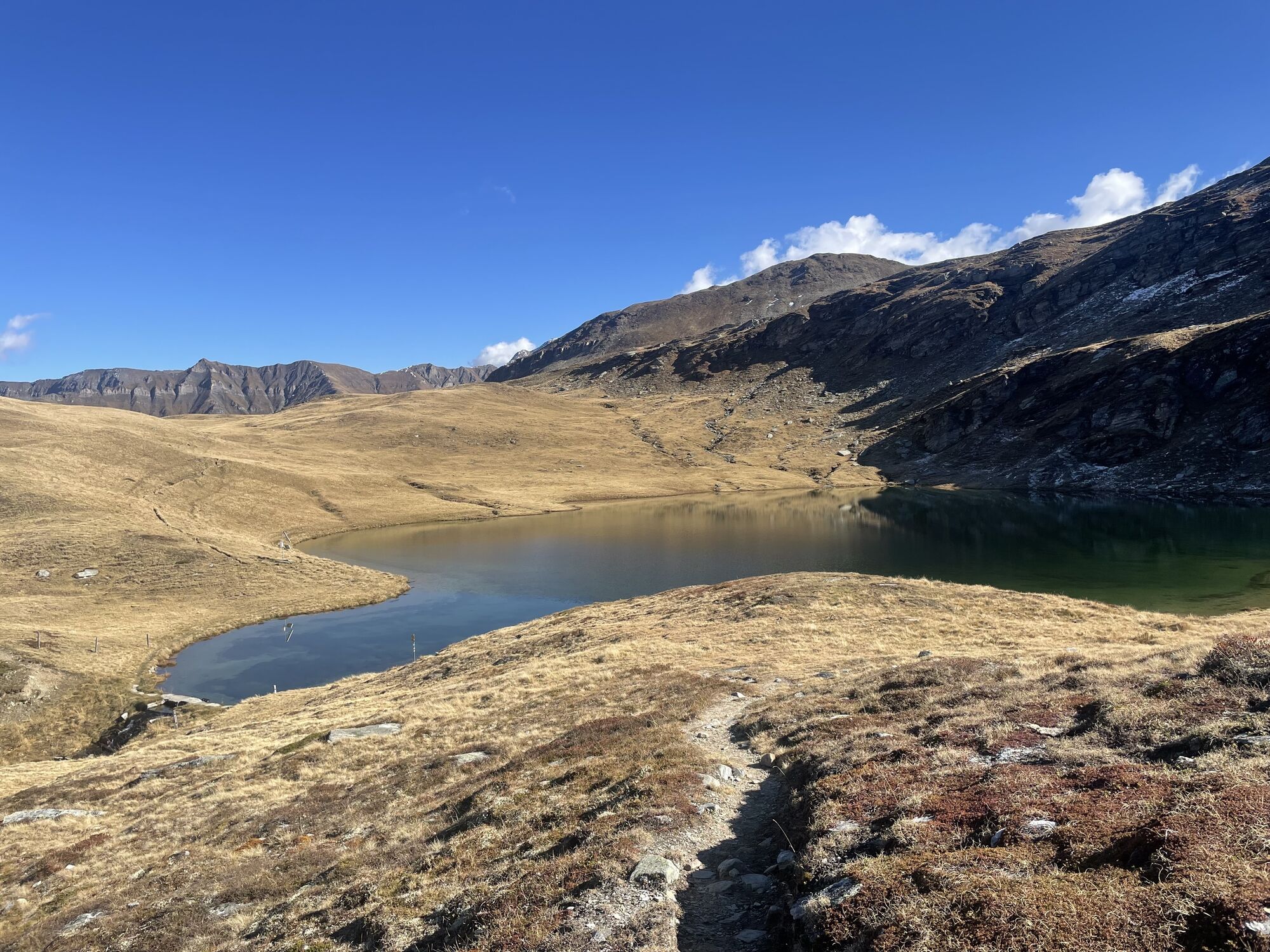
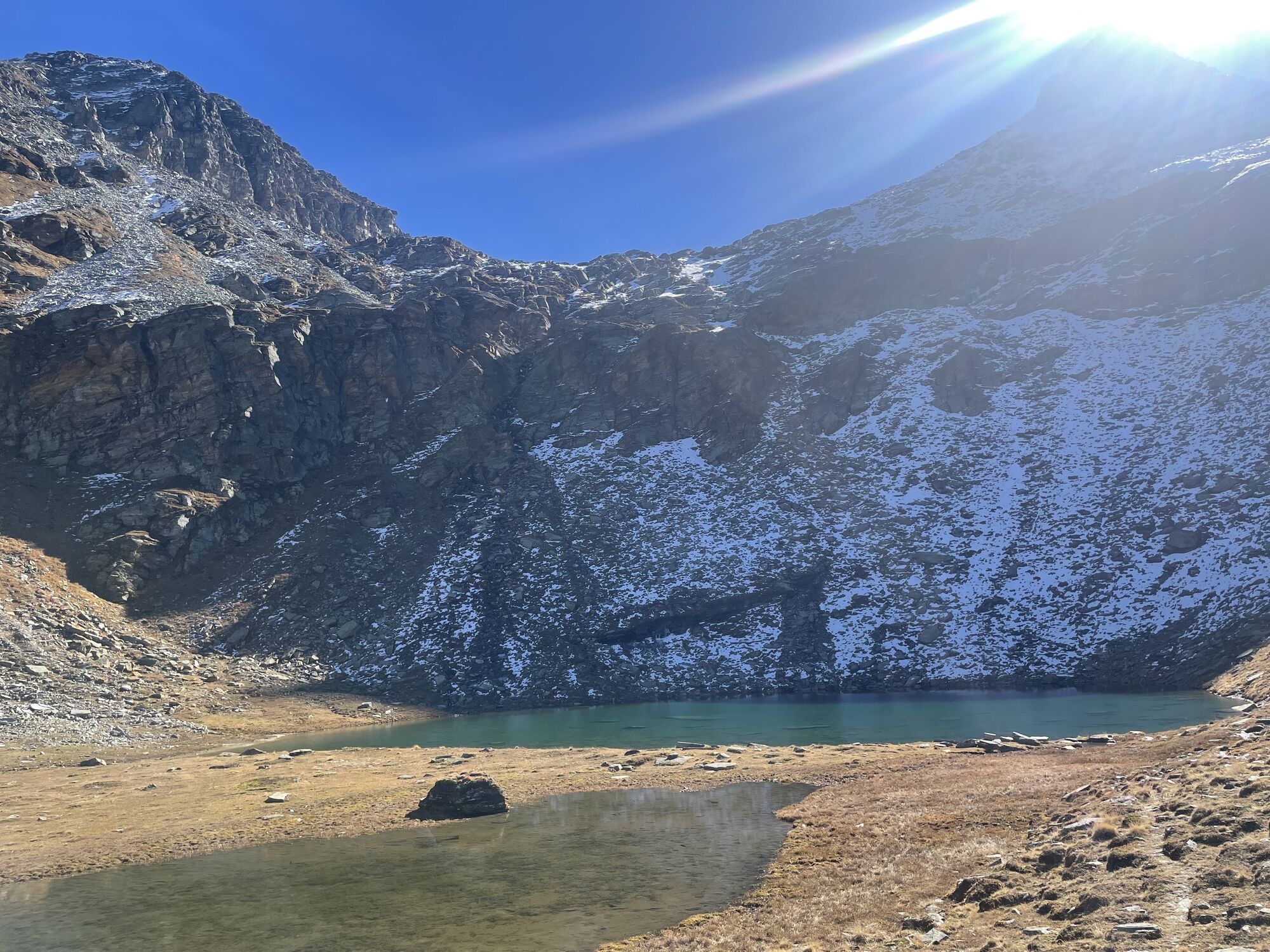
From Chapel Zerfreila the varied trail leads eastwards up to Guraletsch Lake with the impressive pyramid of the Fanellhorn in the background. Passing Finsterbachstafel and with views of the idyllic slopes...
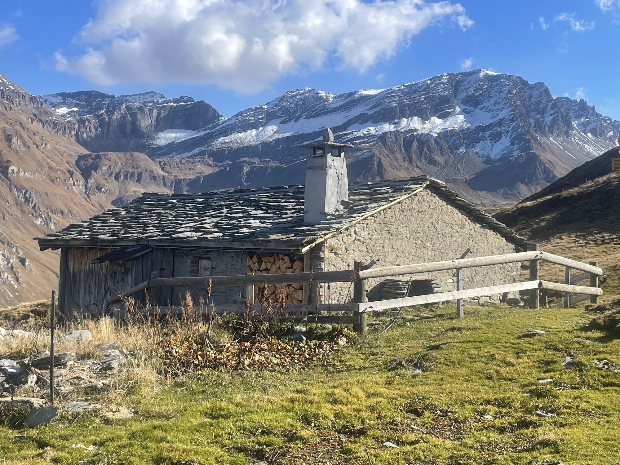
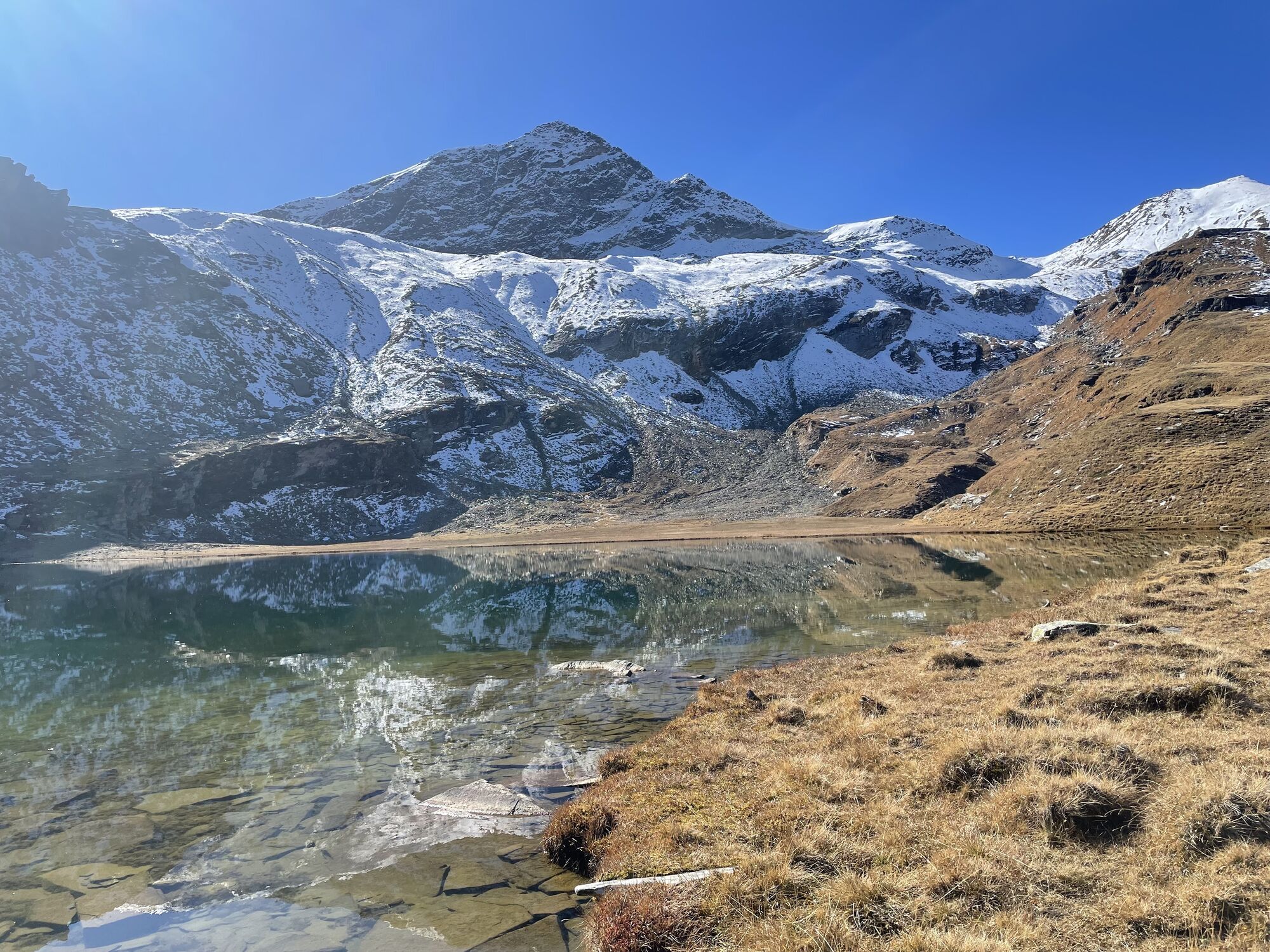
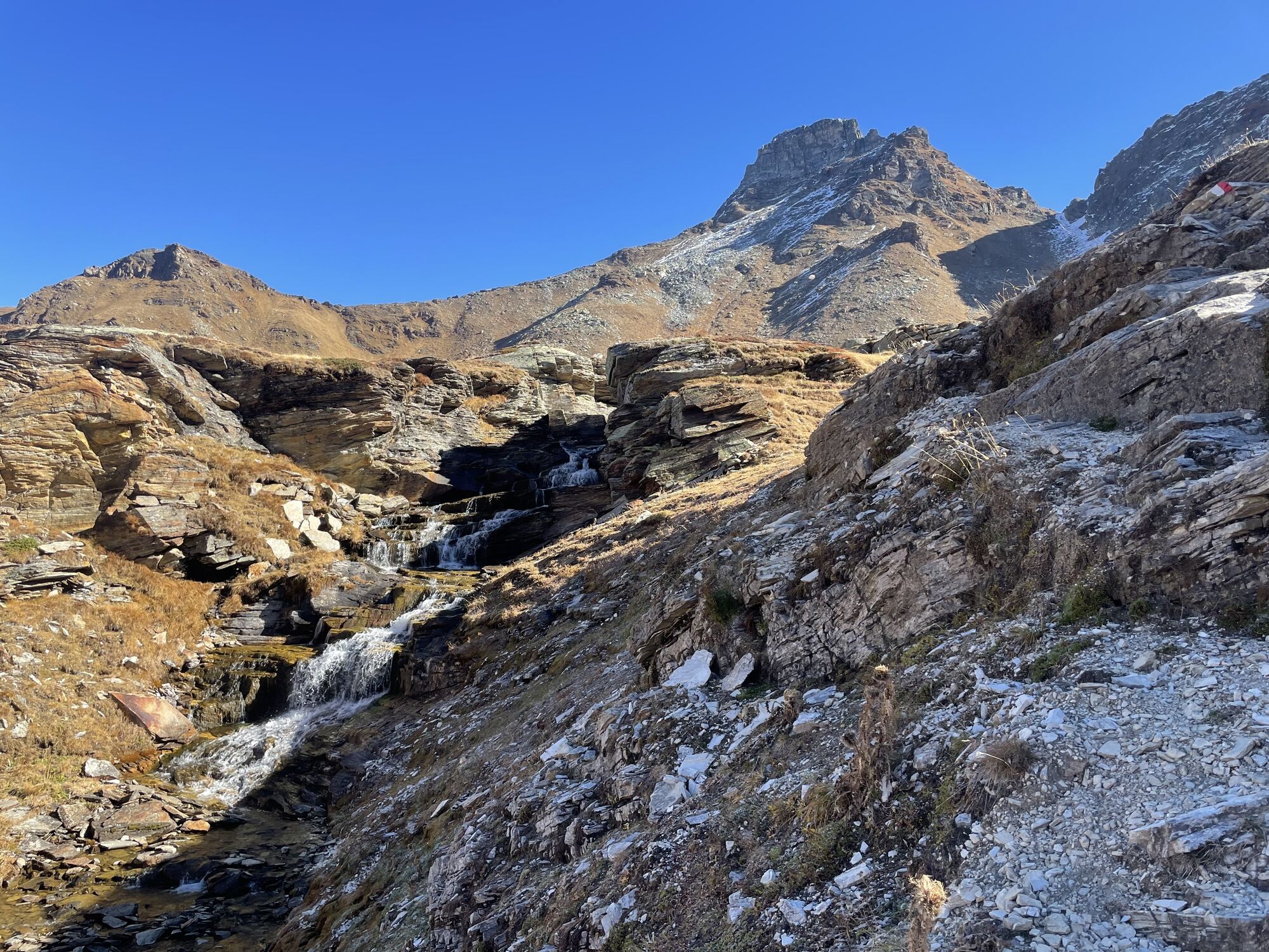
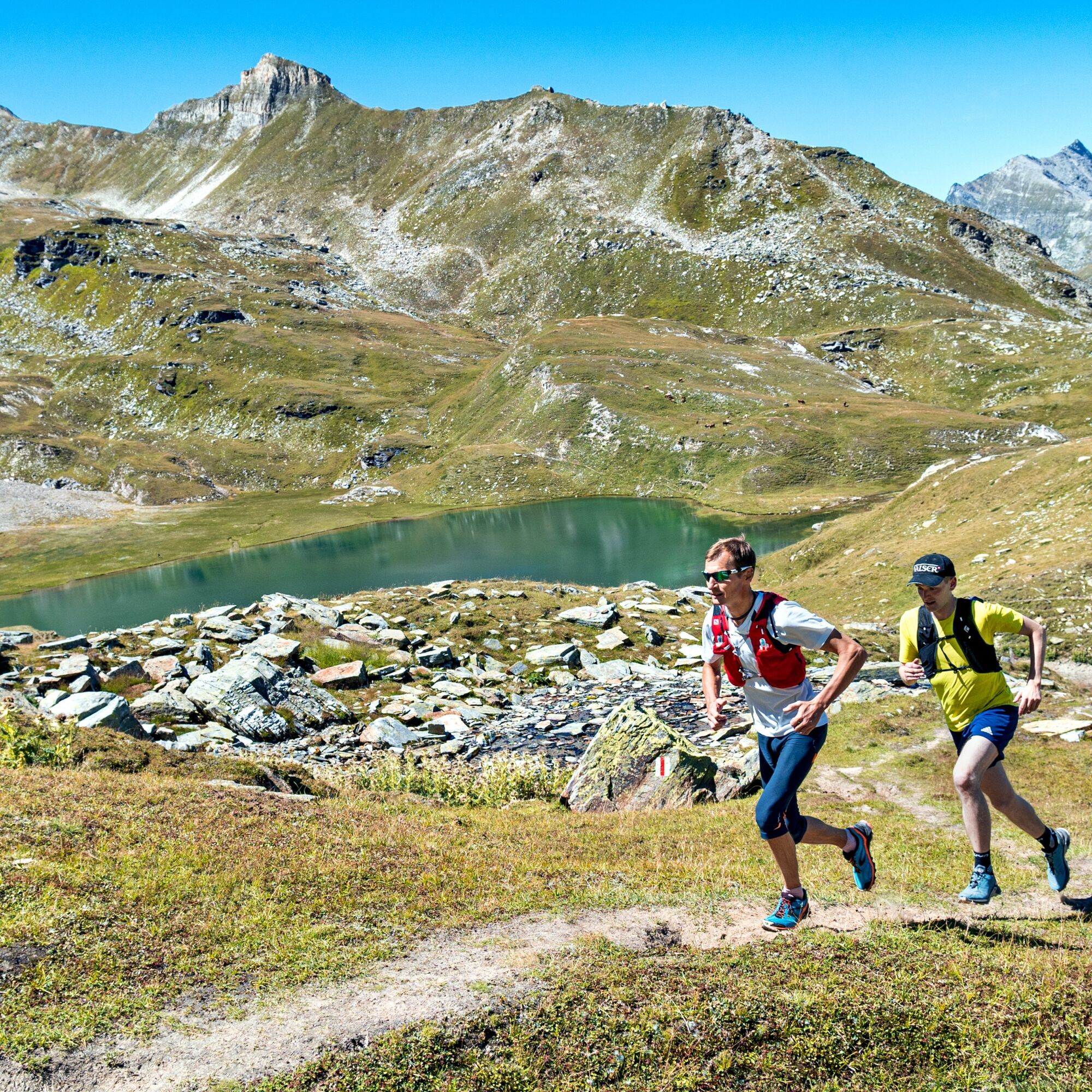
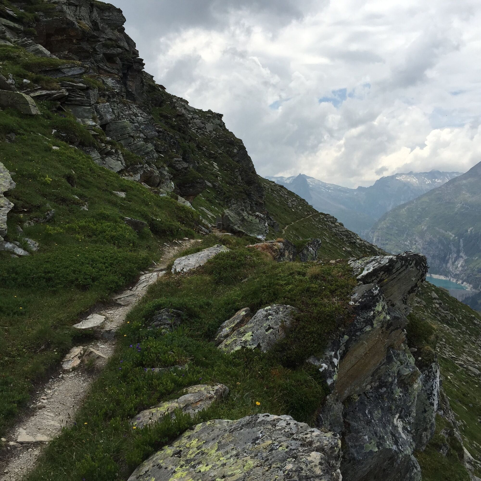
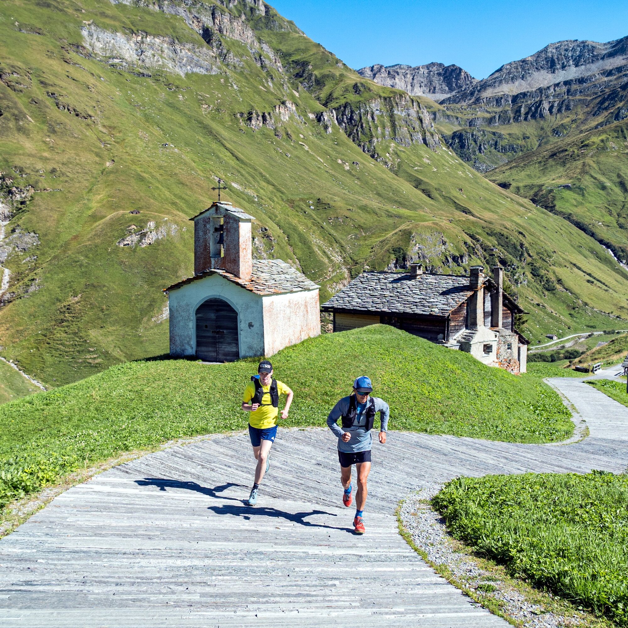
From Chapel Zerfreila the varied trail leads eastwards up to Guraletsch Lake with the impressive pyramid of the Fanellhorn in the background. Passing Finsterbachstafel and with views of the idyllic slopes of Alp Guraletsch, the maximum altitude above sea level is already reached in the first section of the trail. Subsequently, the dynamic hiking trail crosses the western ridge of Guraletschhorn, in whose cirque Ampervreil Lake is located. The following stage resembles the previous one but offers increasingly spectacular views of the village more than a thousand meters below in the shadow of Ampervreilhorn. Shortly thereafter, Selva Lake and thus the ensuing descent into the Peil valley is reached. For the especially enduring, a detour to Hohbüel near the lake is always worthwhile. The trail now descends evenly to Heinisch Stafel and then branches right to the Stafel of Alp Selva. The gravel road that starts here winds down the steep slope in numerous hairpin turns and only becomes flatter at the junction before Bodahus. From here, always heading valleywards, the route gently descends past the "Peilerchappeli" to the finish at Inder Peil.

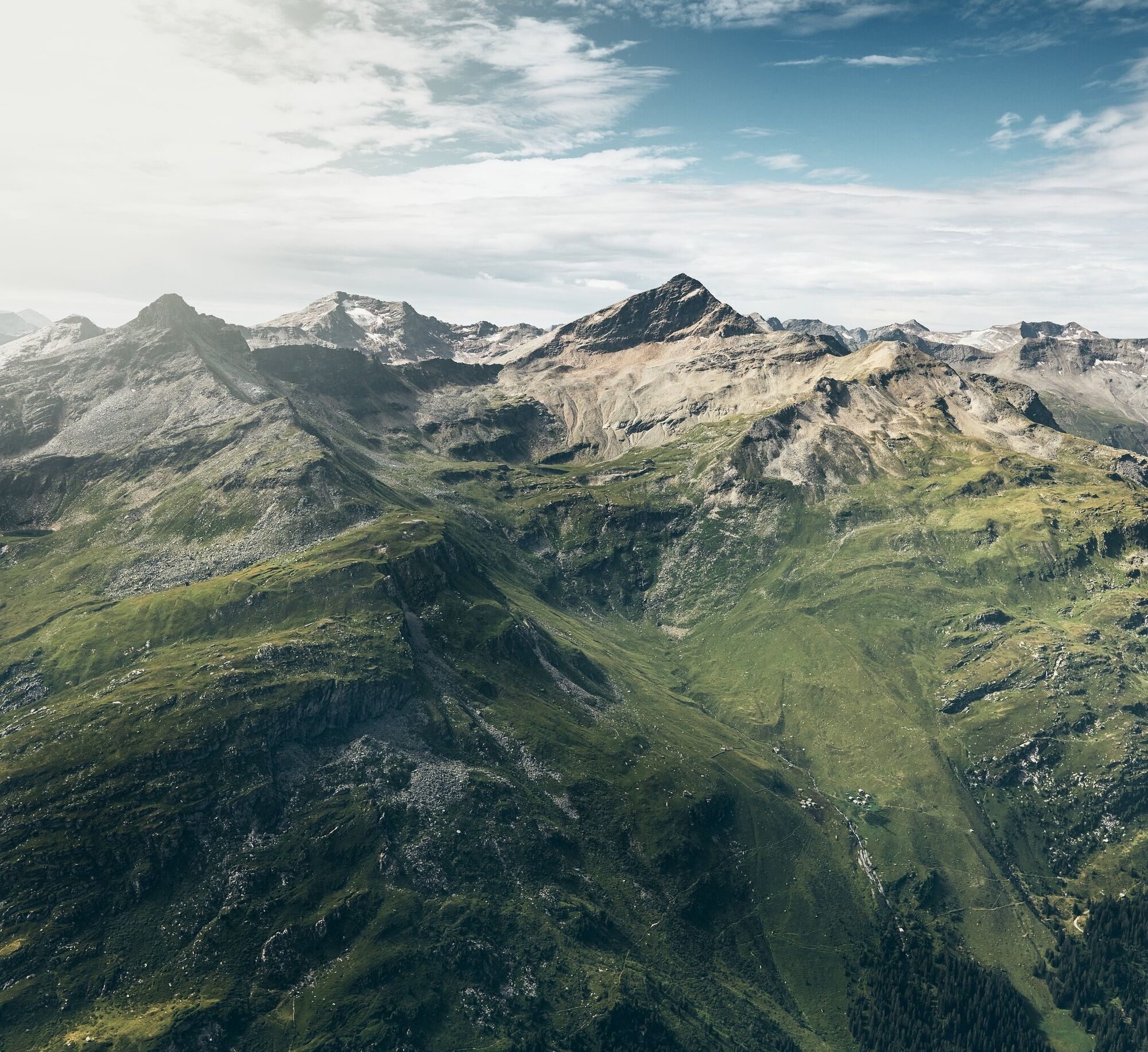
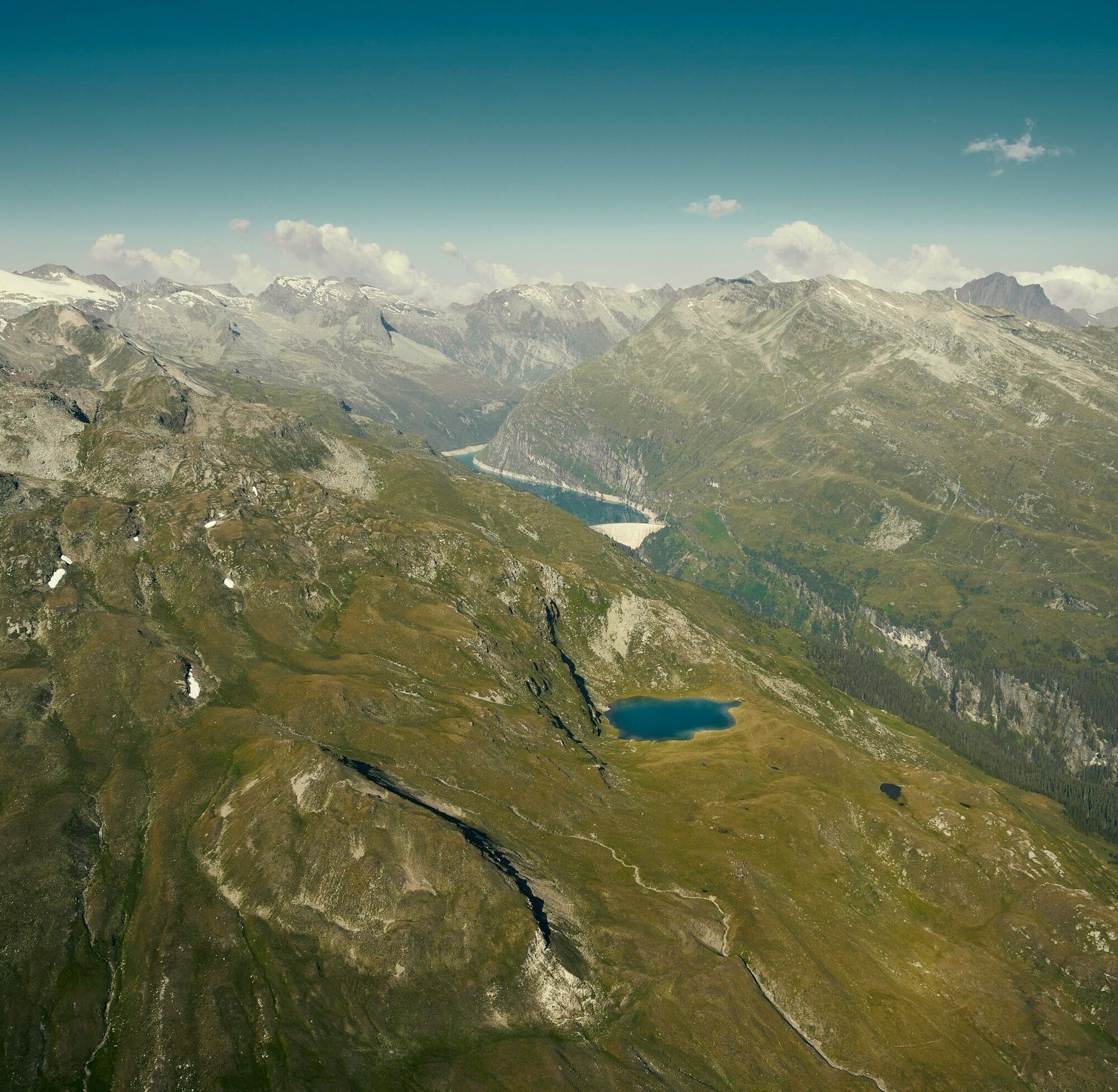
Chapel Zerfreila 1984 m - Finsterbachstafel 2060 m - Guraletsch Lake 2409 m - Ampervreil Lake 2378 m - Selva Lake 2279 m - Heinisch Stafel 2041 m - Bodahus 1746 m - Inder Peil 1668 m
Running backpack, drink, energy bars, sun protection, mobile phone, swimsuit for those daring to take a dive into the cold water.
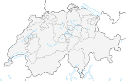
Via Chur-Ilanz-Vals-Zervreila
From Ilanz by PostBus to Vals and onward to Zervreila (summer only).
Parking lot at the Zervreila restaurant or at the Chapel Zervreila
The 3-Lake route can be done well in both directions. You are welcome to register for the ride with the hiking bus from Vals to Peil or also for the return trip from Peil to Vals.
From mid-June, the postbus runs to Zerfreila. From Friday to Sunday there is additionally the option to take the Valser hiking bus early course to Zerfreila. Departure at the Post Vals at 7:30 a.m. Registration for the trips with the Valser hiking bus is required. Tel: +41 81 935 16 49.
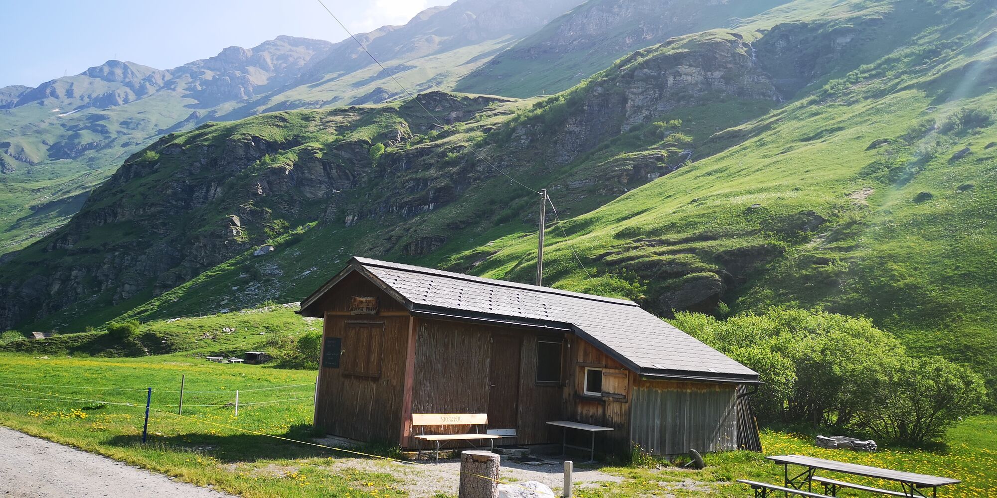
Take a break at the Peil kiosk and enjoy a fine fresh goat cheese from the Peil Geissalp.
Obľúbené výlety v okolí
-
5,0
Panorama route
svetloTuristika 5,39 km -
Giro della Greina
Turistika 50,6 km -
5,0
Hiking route Suspension Bridge Val da Tersnaus
strednáTuristika 3,24 km -
3,3
3-lake hike
strednáTuristika 12,8 km -
5,0
Winter hike Gadastatt - Frunt - Zerfreila (Panorama trail)
svetloZimná turistika 5,36 km -
Piz Terri, 3.149 m
strednáVysoké turné 6,92 km -
5,0
Southeast Switzerland Hiking Day Vals 2017
svetloTuristika 11,8 km -
Furggelti 2712m
ťažkéTuristika 18,7 km -
3,5
Places of Magic - Lumbrein
strednáTuristika 8,74 km -
Fanellhorn 3124 m
ťažkéVysoké turné 6,86 km

Turistika a stopovanie


Nenechajte si ujsť ponuky a inšpiráciu na ďalšiu dovolenku
Vaša e-mailová adresa bol pridaný do poštového zoznamu.