



Hike Obersays

Obersays is easily accessible by public transport, with four daily postbus services making this possible. However, the trip must be registered by phone at least 1 hour before departure. The well-developed...
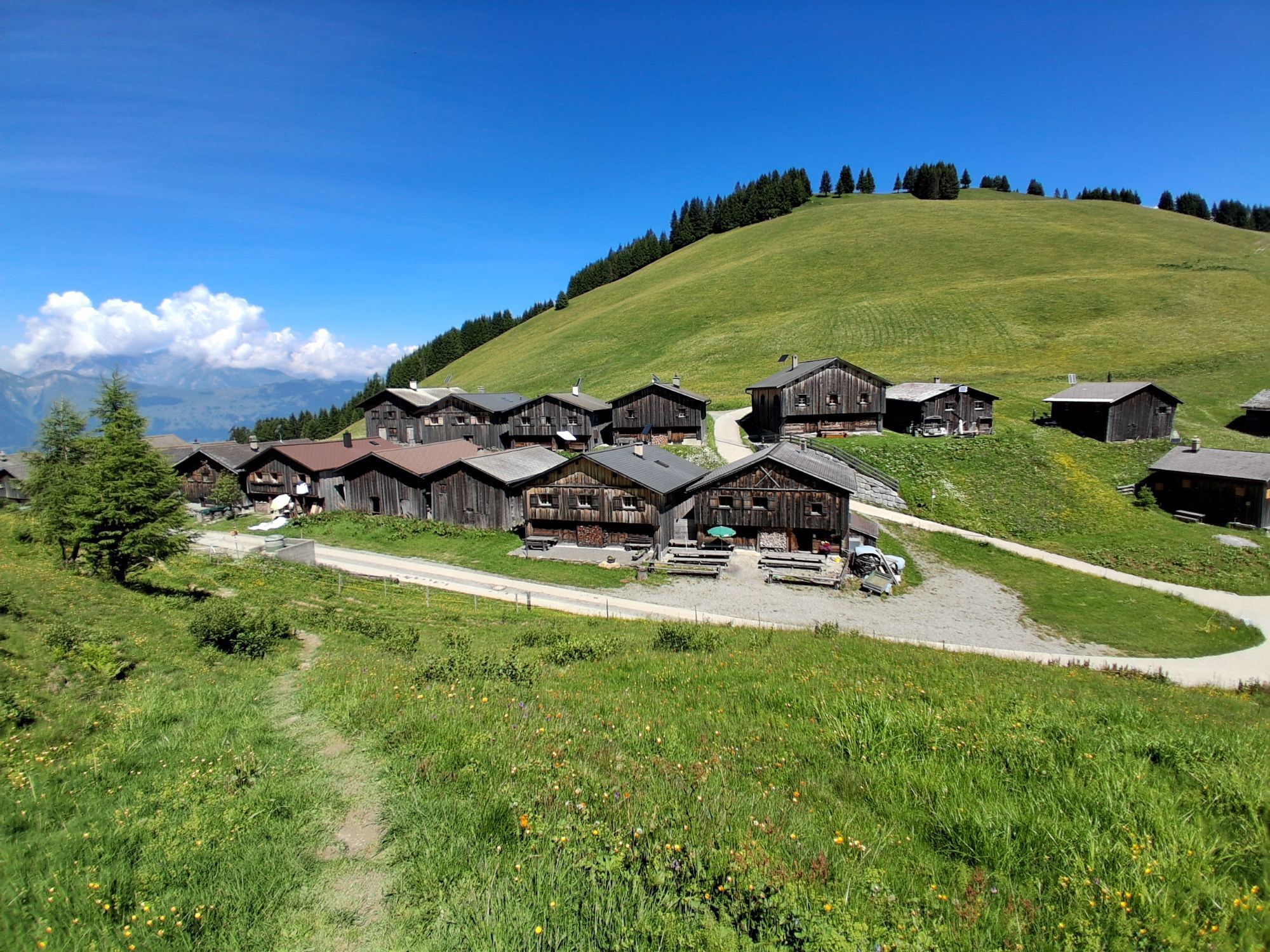
Obersays is easily accessible by public transport, with four daily postbus services making this possible. However, the trip must be registered by phone at least 1 hour before departure. The well-developed road also allows access by private car. Right at the postbus stop, there is an overview map of the area around the former Walser settlement Stams. We leave Obersays on the forest and alpine path. At the Zazaschgrank parking lot, we take the path towards Spundätscha. At the edge of the forest, the now narrowing drive turns left and quite steeply ascends over meadows to the mountain hut Spundätscha.
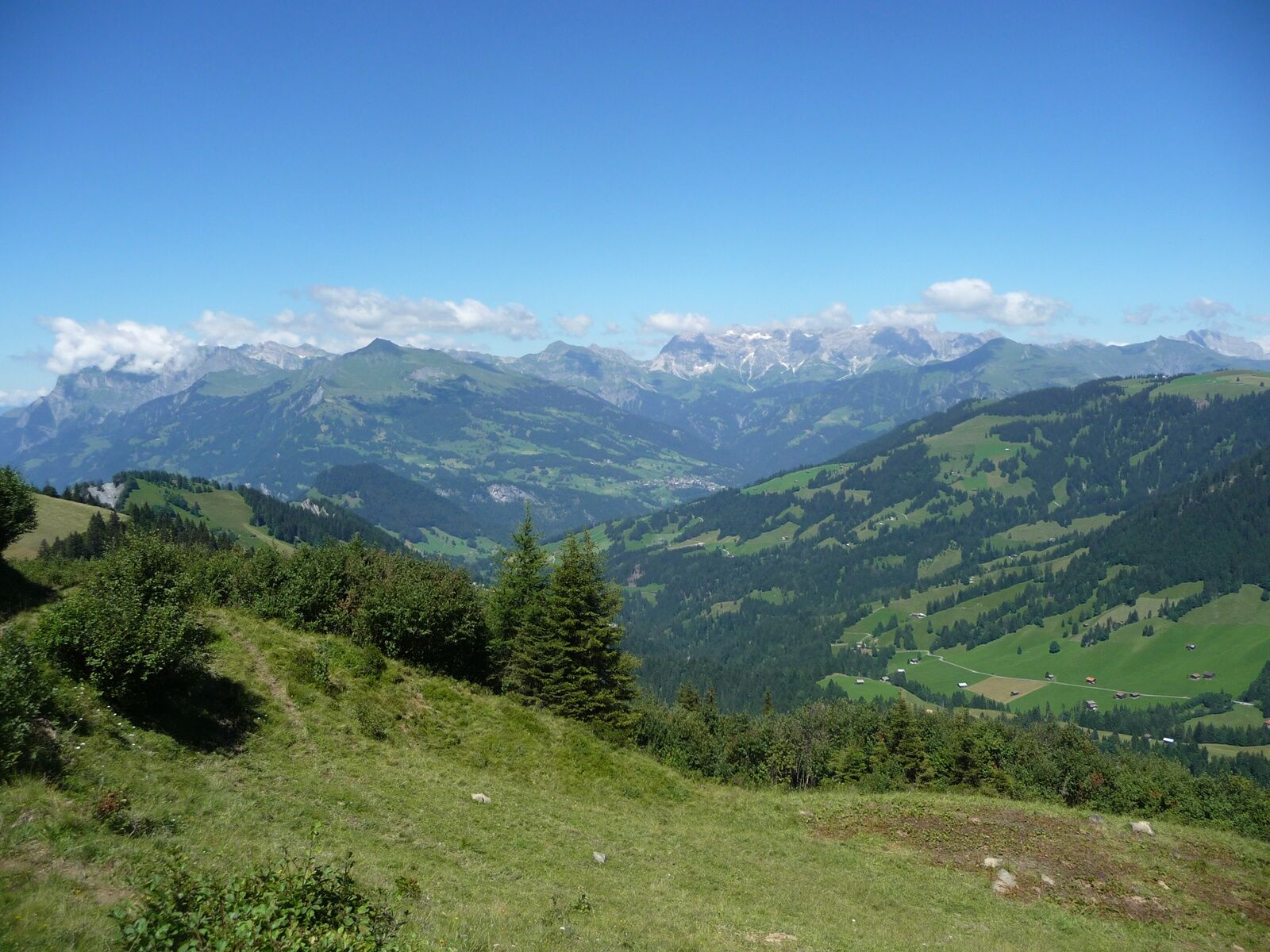
The route continues between the houses and across open pasture land towards Zanutscher Boden. On the ascent, it is worthwhile to look back occasionally. The view towards the Bündner Oberland becomes increasingly fantastic. At the highest point of the hike at Zanutscher Boden, you can see the Dolomites of the Rätikon with the well-known peaks Falknis, Schesaplana, Drusenfluh, and Sulzfluh.
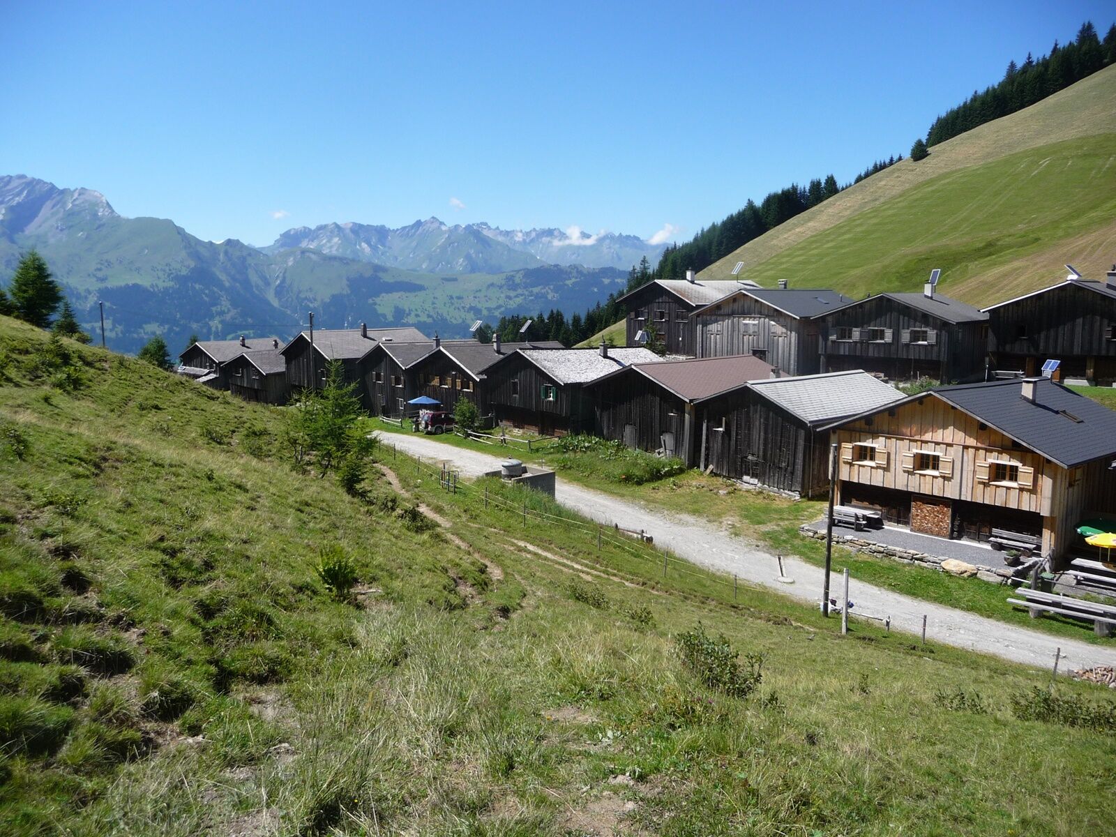
This is followed by a descent over pastures and through the alder wood down to the former Walser village Stams. The small mountain restaurant (open daily from early May to late October) invites you to linger and enjoy. At the Artimi viewpoint, there is a special wooden monument commemorating the Poles interned here (1942 - 1944). Always following the alpine road, soon the starting point in Obersays is reached again.

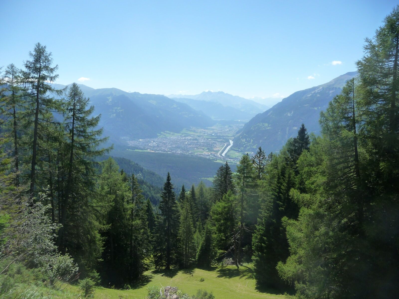
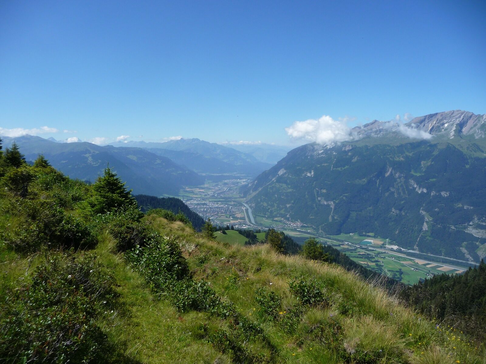
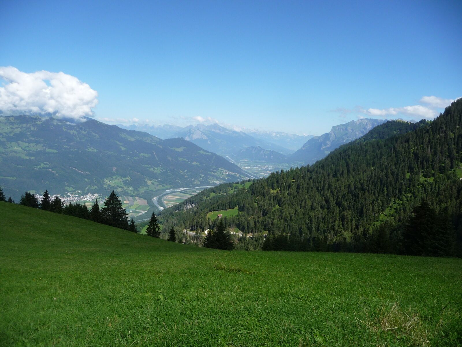
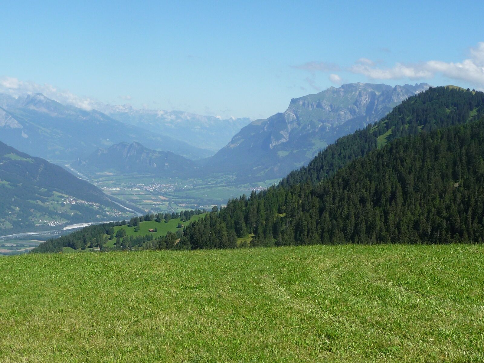
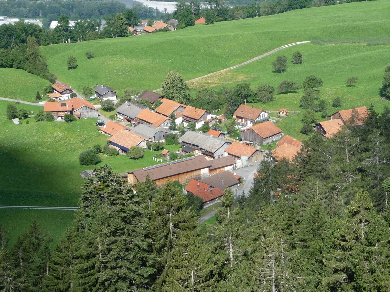

Obersays - Zarzasch - Zanutscher Tobel - Spundätscha - Zanutscher Boden - Stams - Artimi - Tarnags - Obersays
Normal hiking equipment, sturdy mountain boots.
Access by public transport on Saturdays/Sundays directly from Landquart station, on weekdays from Chur, with a transfer in Trimmis.
Telephone pre-registration at least 1 hour in advance is required at tel. +41 (0)79 218 27 25!
Pay parking in Obersays.
Heidiland Tourismus AG
Am Platz 1
CH-7310 Bad Ragaz
Tel.: +41 (0)81 300 40 20
www.heidiland.com
spavillage@heidiland.com
Mountain restaurant Stams www.stams.ch
Municipality Trimmis www.trimmis.ch
Postbus Says www.postauto-says.ch

Obľúbené výlety v okolí
-
4,6
Pizalun circular route
svetloTuristika 7,18 km -
5,0
Malans-Jenins Wine Route
svetloTuristika 10,3 km -
Vilan round tour
ťažkéTuristika 12,2 km -
5,0
Eichhörnliweg Arosa
svetloTematická trasa 1,72 km -
5,0
Spig - Pizalun
strednáTuristika 12,0 km -
4,0
Haldensteiner Calanda
ťažkéTuristika 16,9 km -
5,0
Zuckerstock
svetloTuristika 7,37 km -
4,0
From Valens to the Old Bad Pfäfers
strednáTuristika 10,9 km -
3,0
Through the wild Schraubachtobel from Schiers to Schuders
svetloTuristika 9,19 km -
4,0
Arosa - Molinis - Tschiertschen - Ochsenalp - Rot Tritt
Mountainbike 30,5 km
Turistika a stopovanie


Nenechajte si ujsť ponuky a inšpiráciu na ďalšiu dovolenku
Vaša e-mailová adresa bol pridaný do poštového zoznamu.


