







Madulain - Es-cha Hut

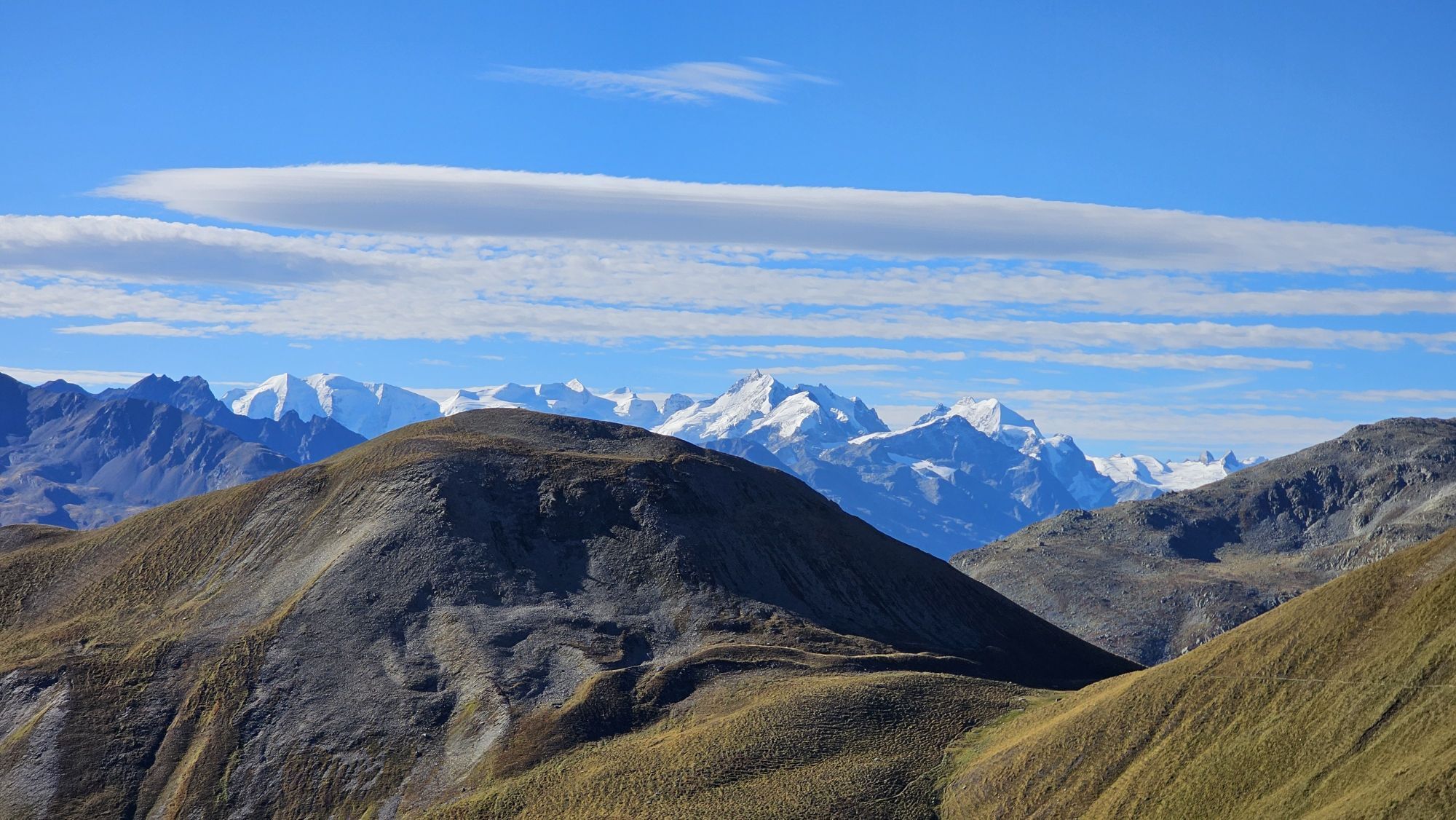
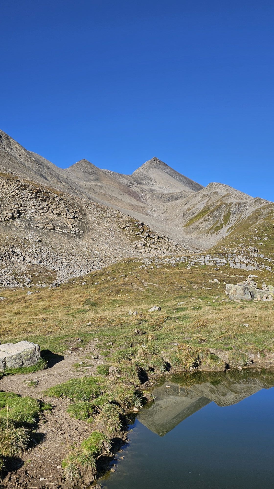
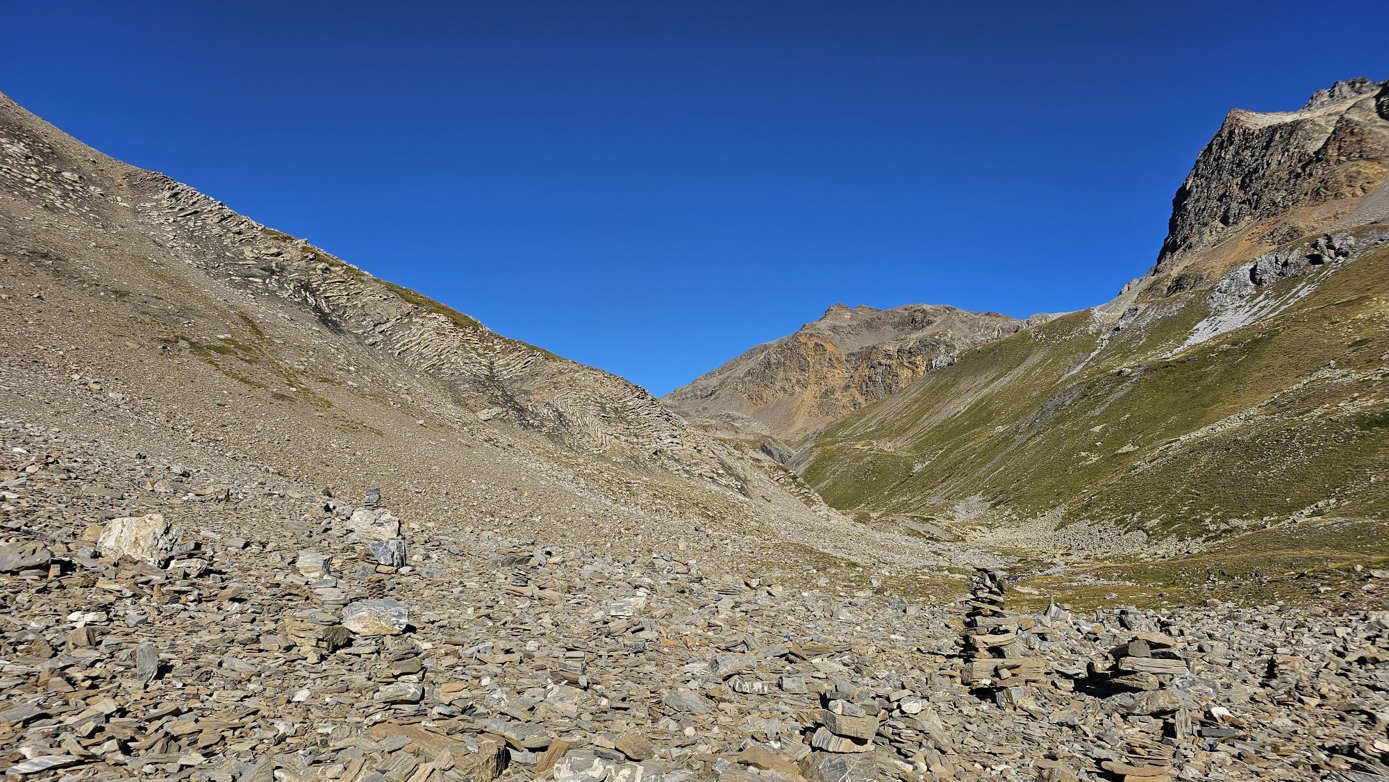
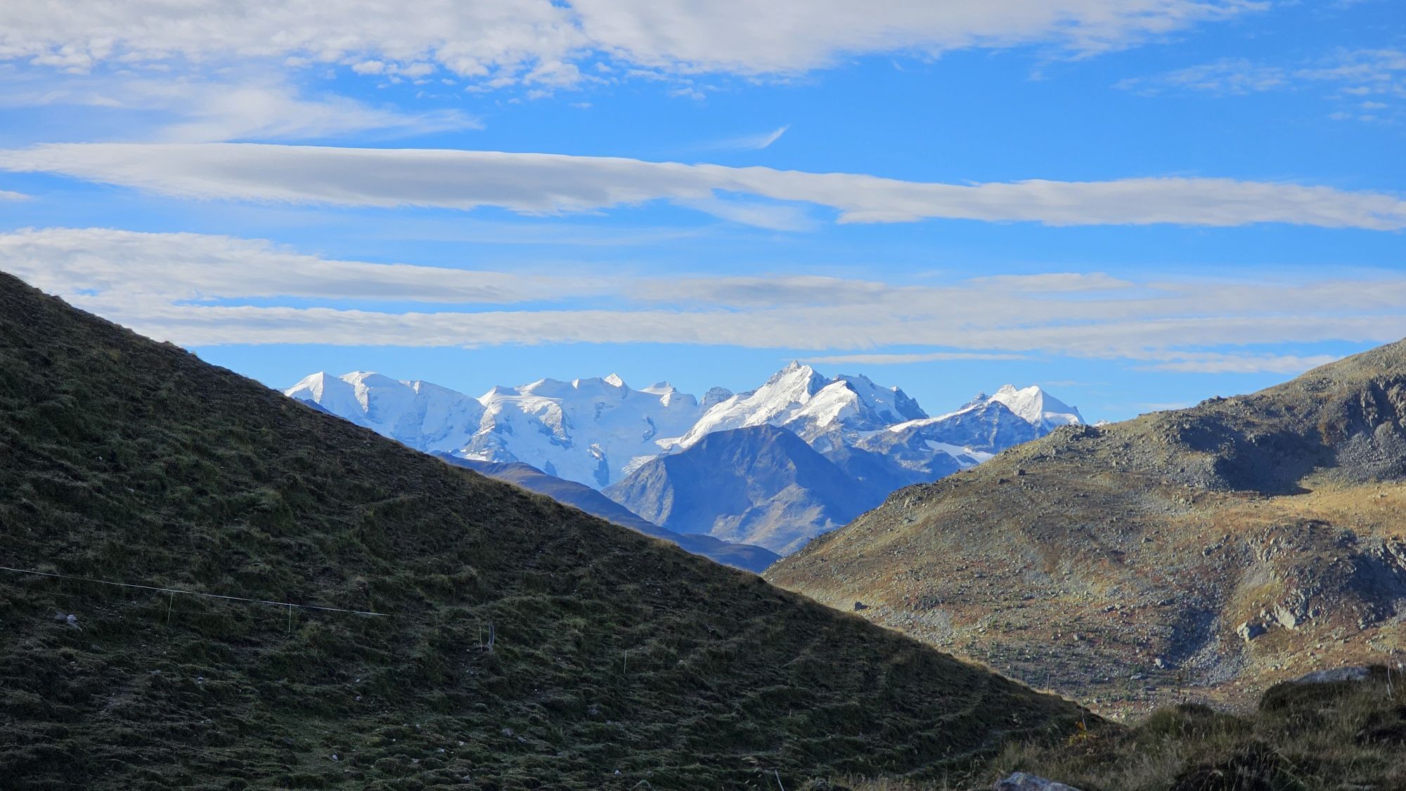
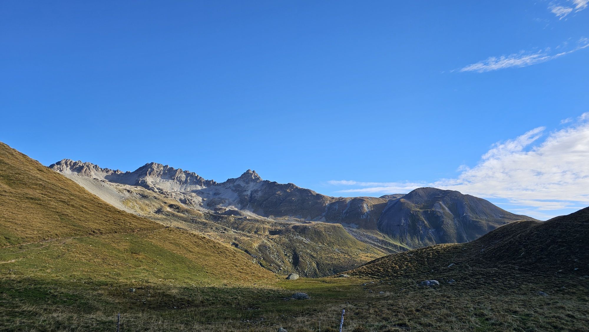
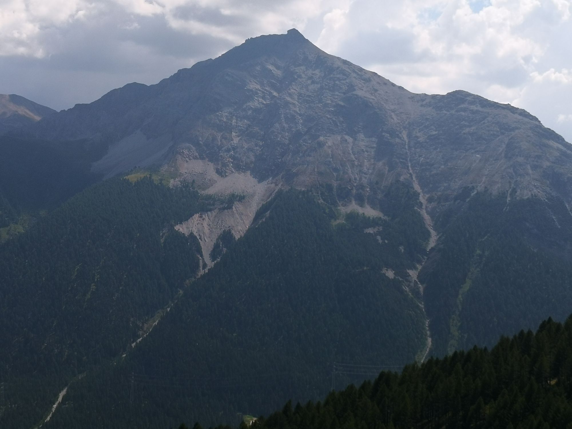
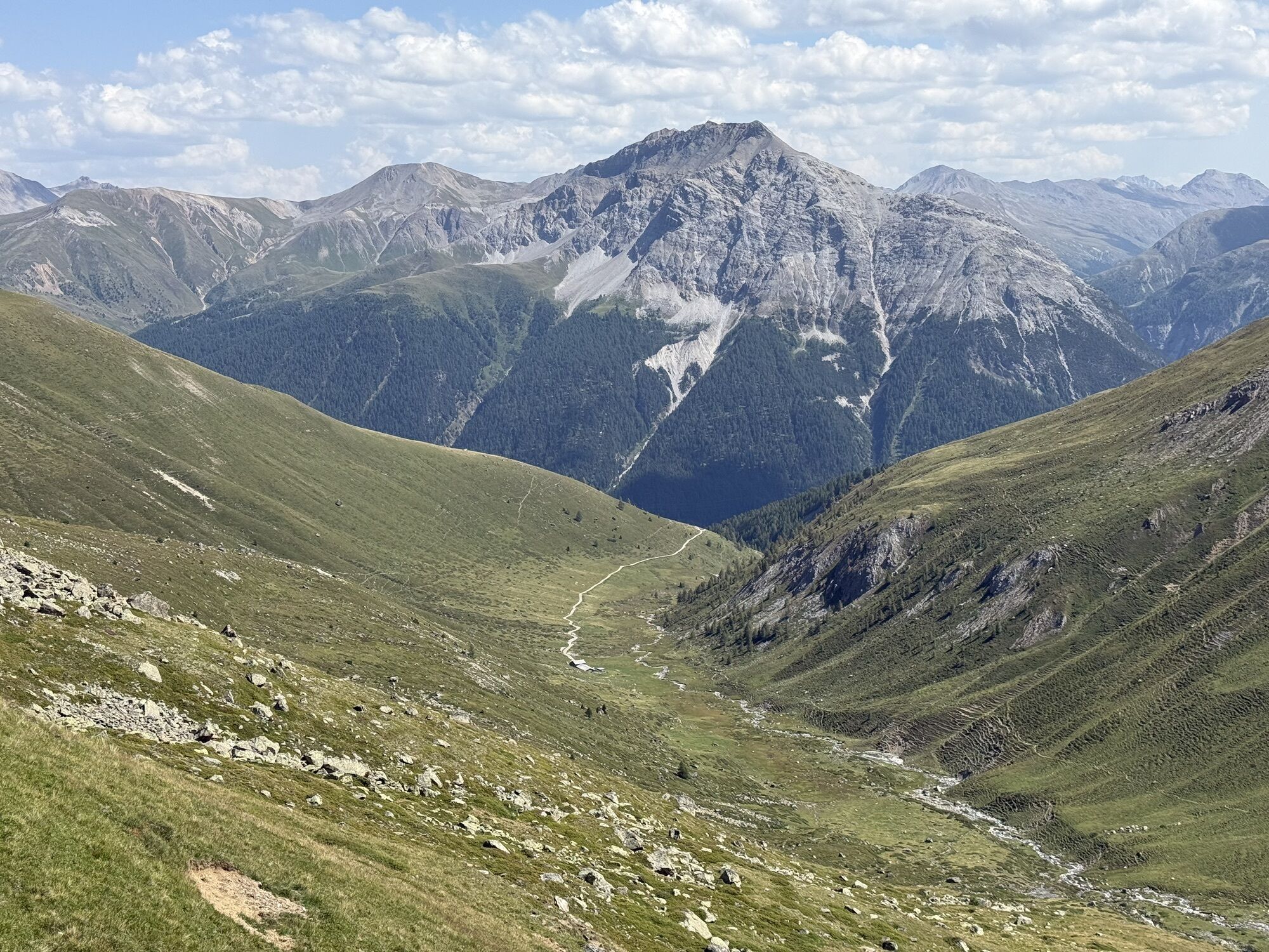
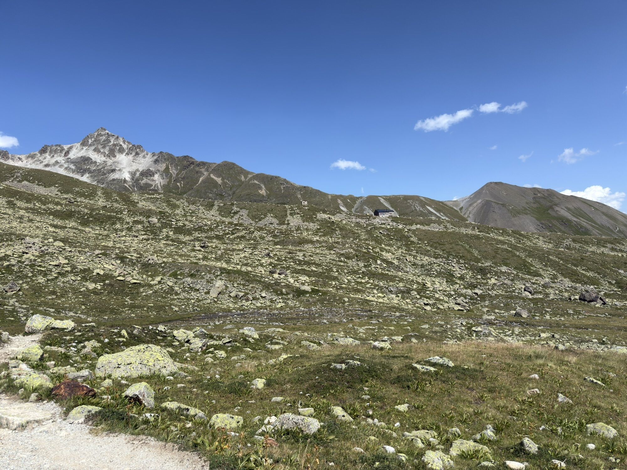
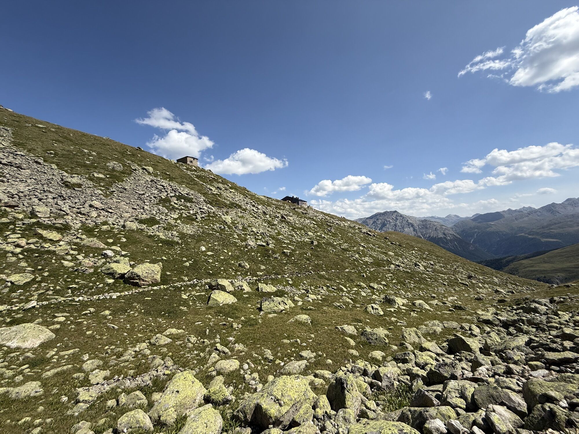
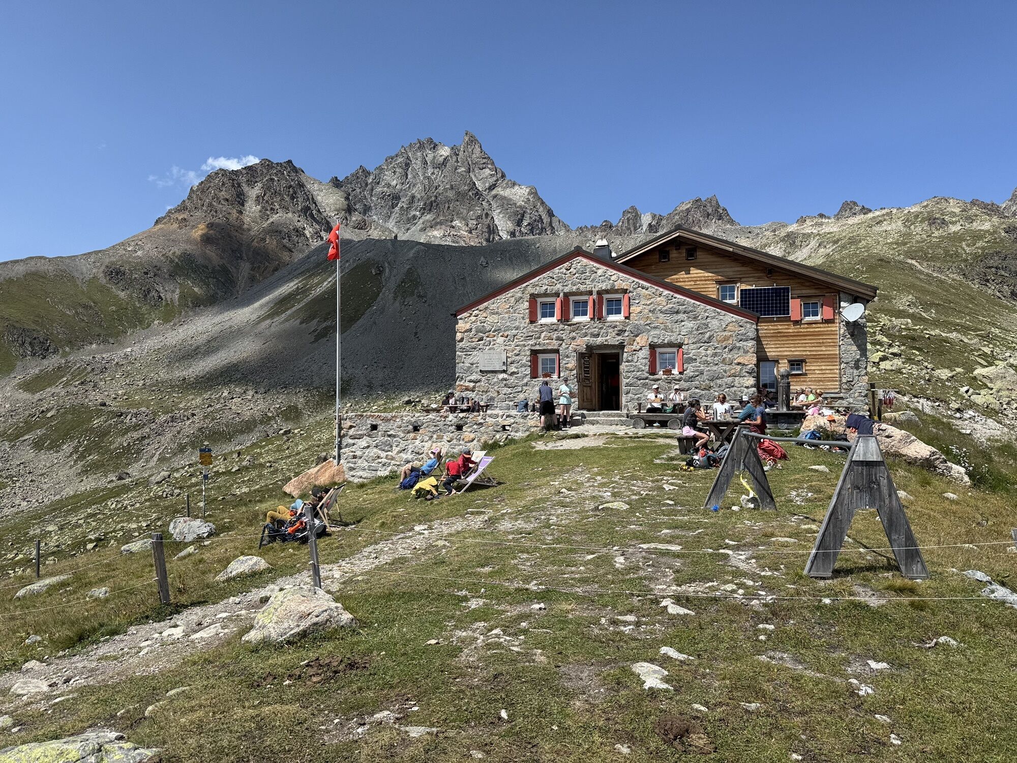
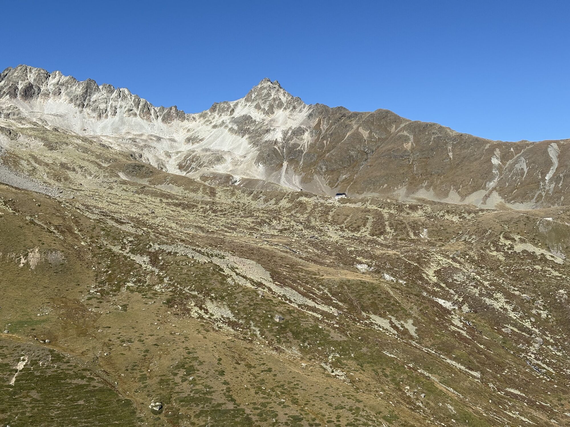
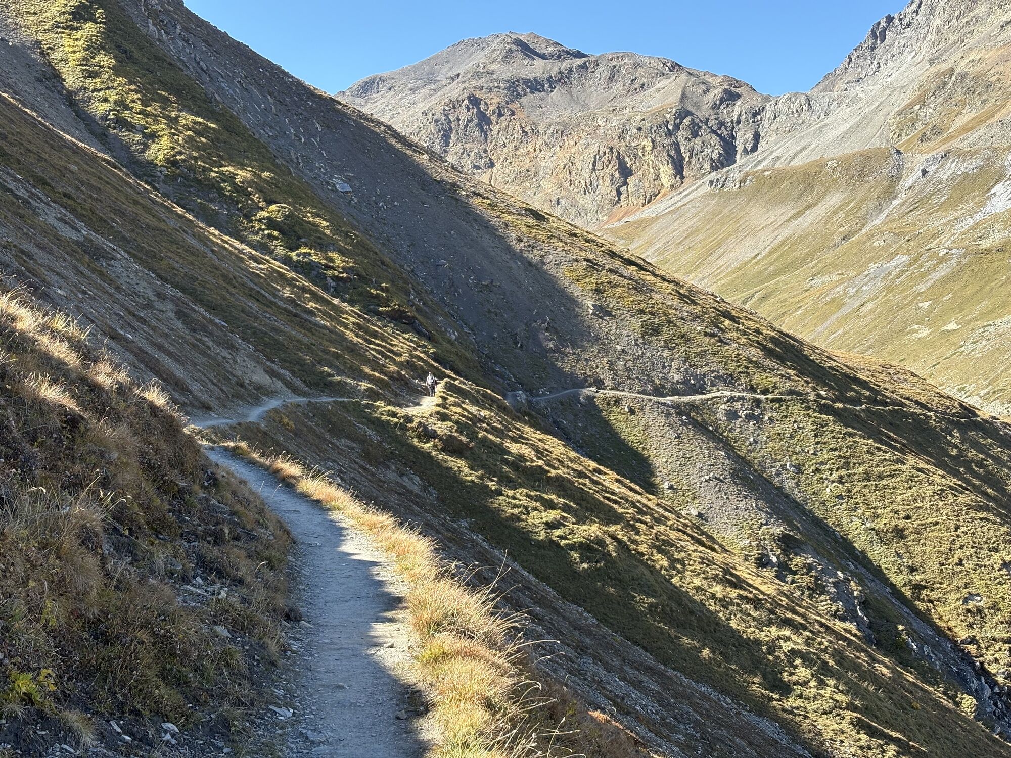
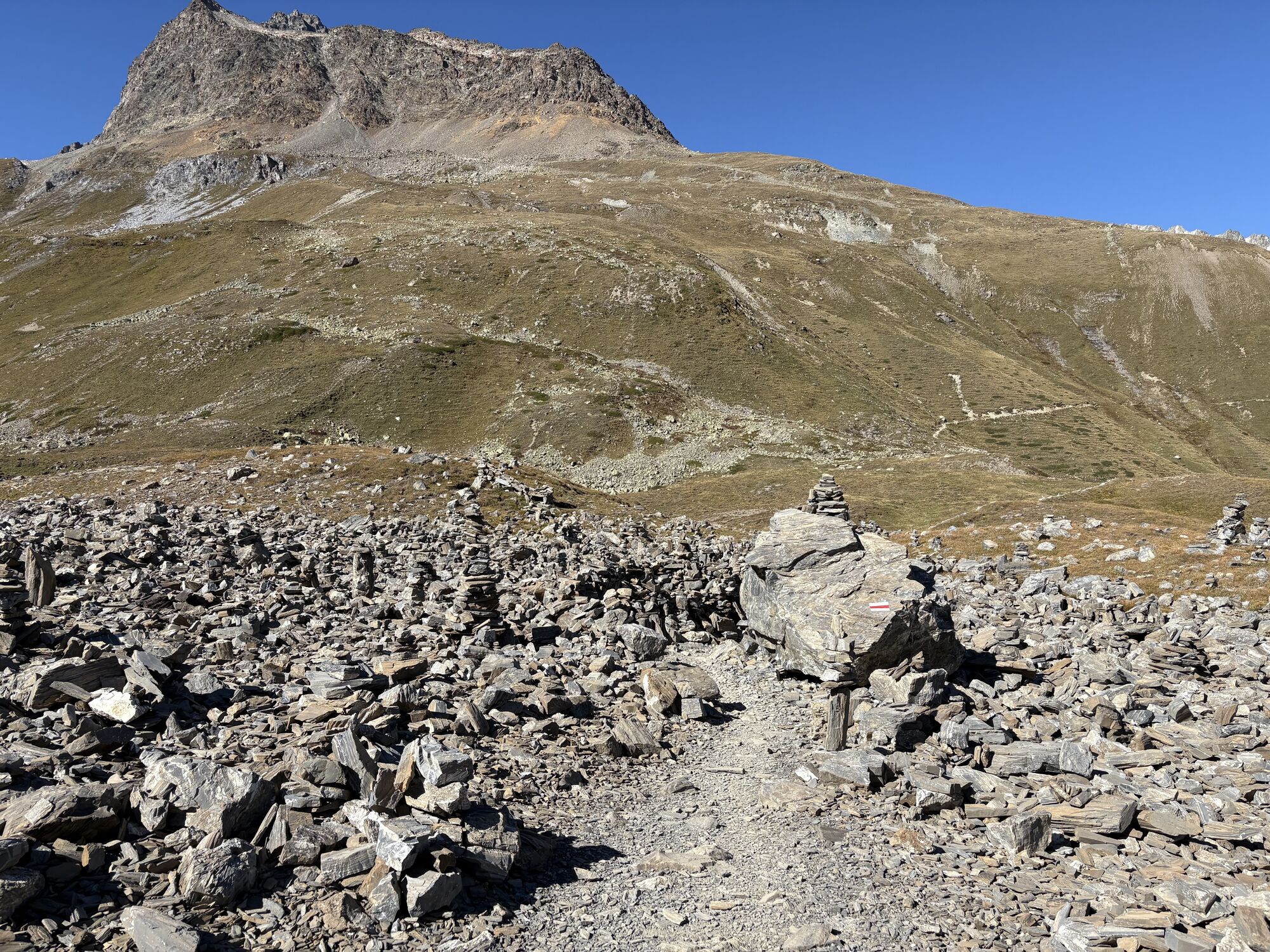
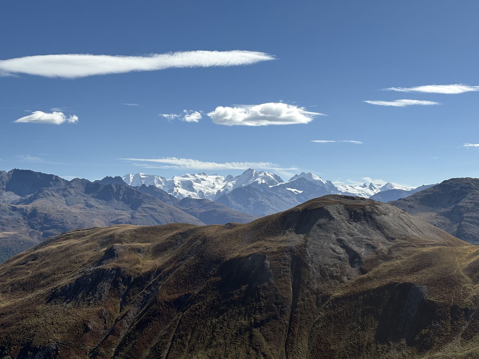
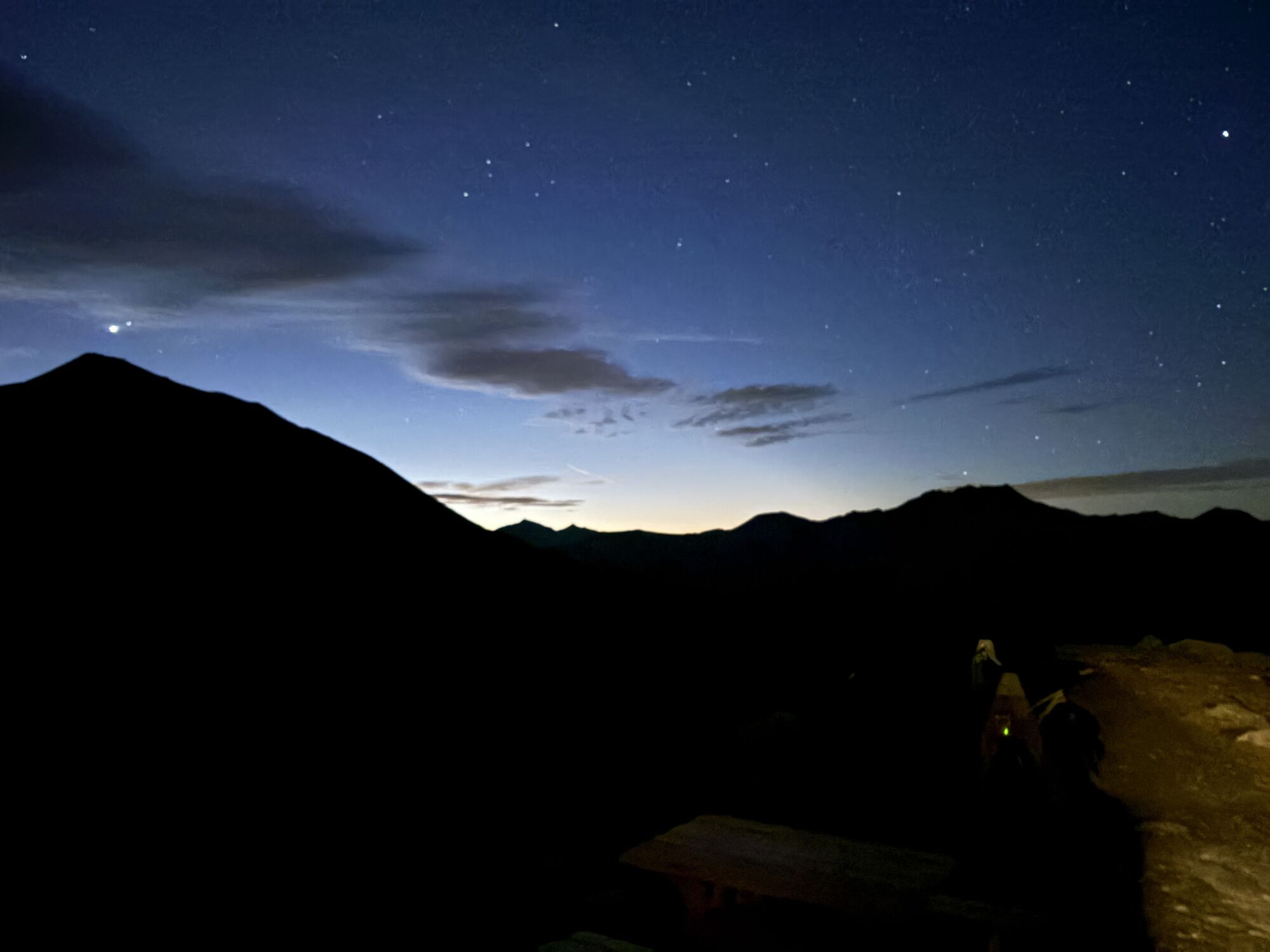
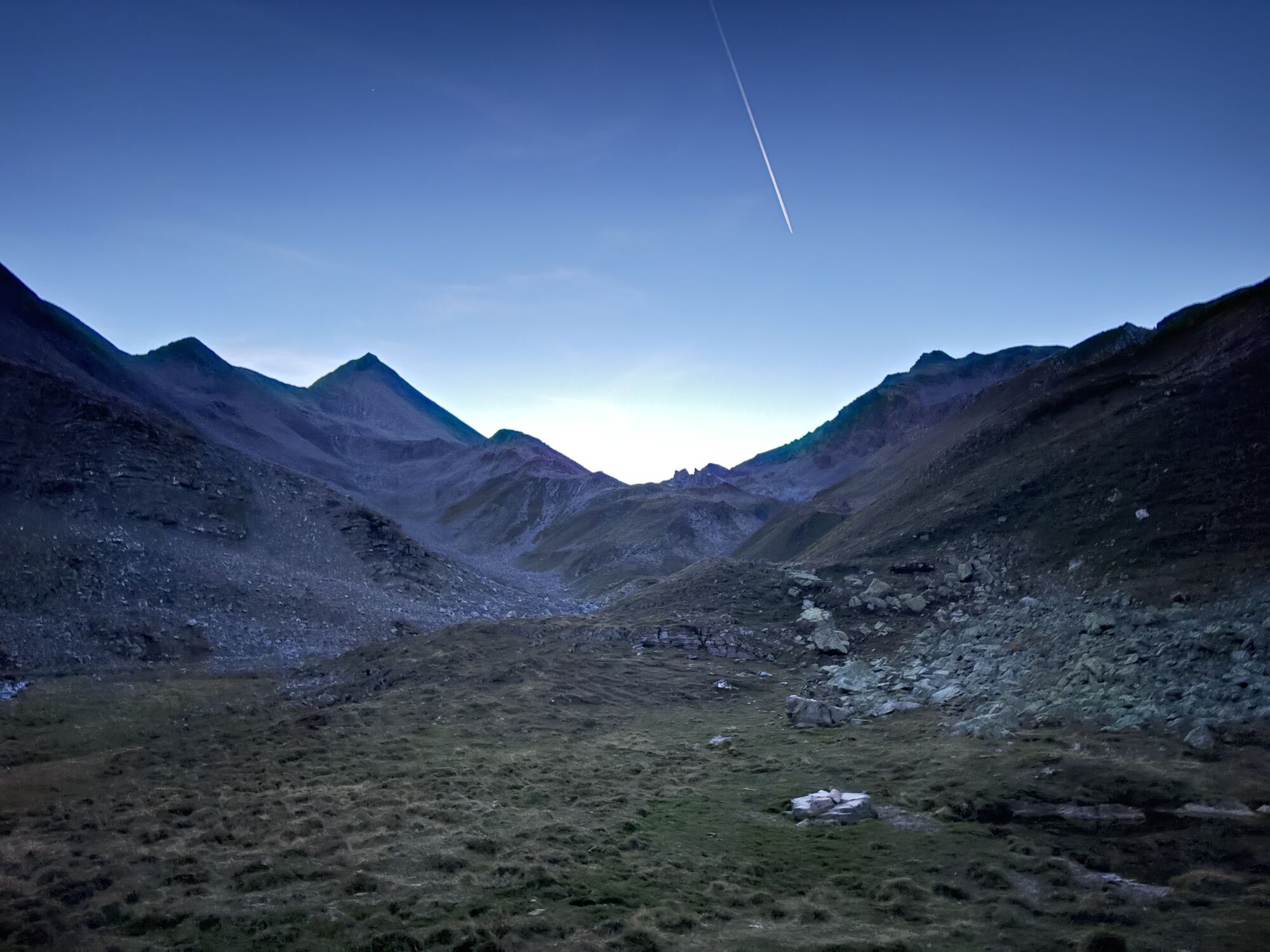
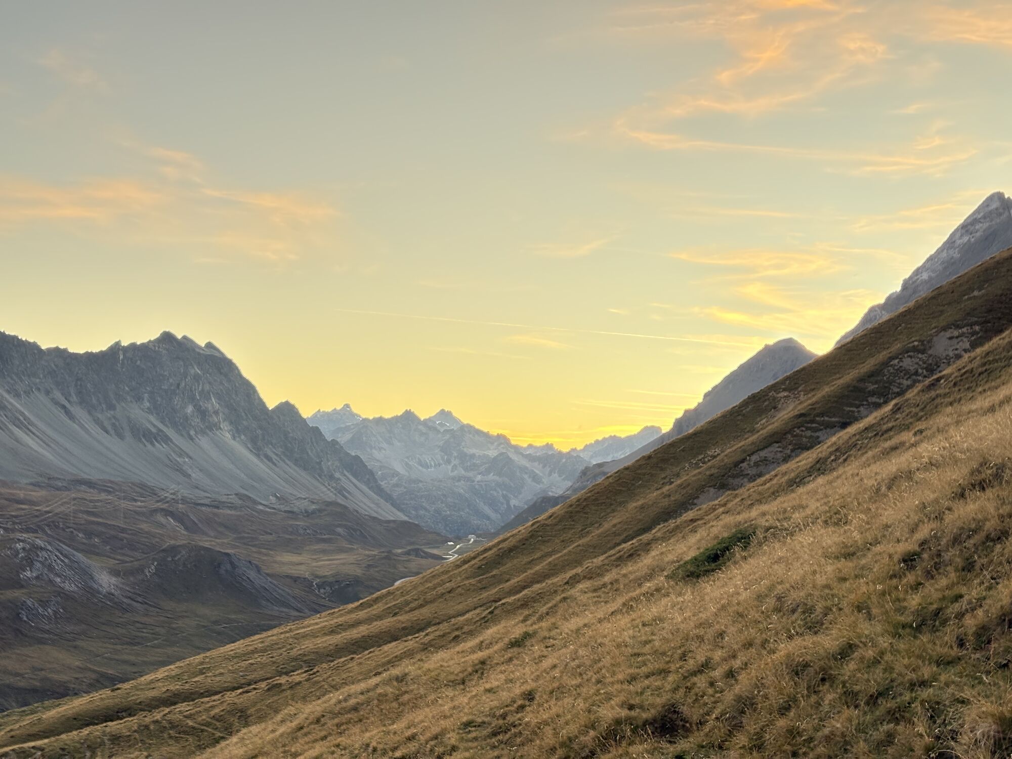
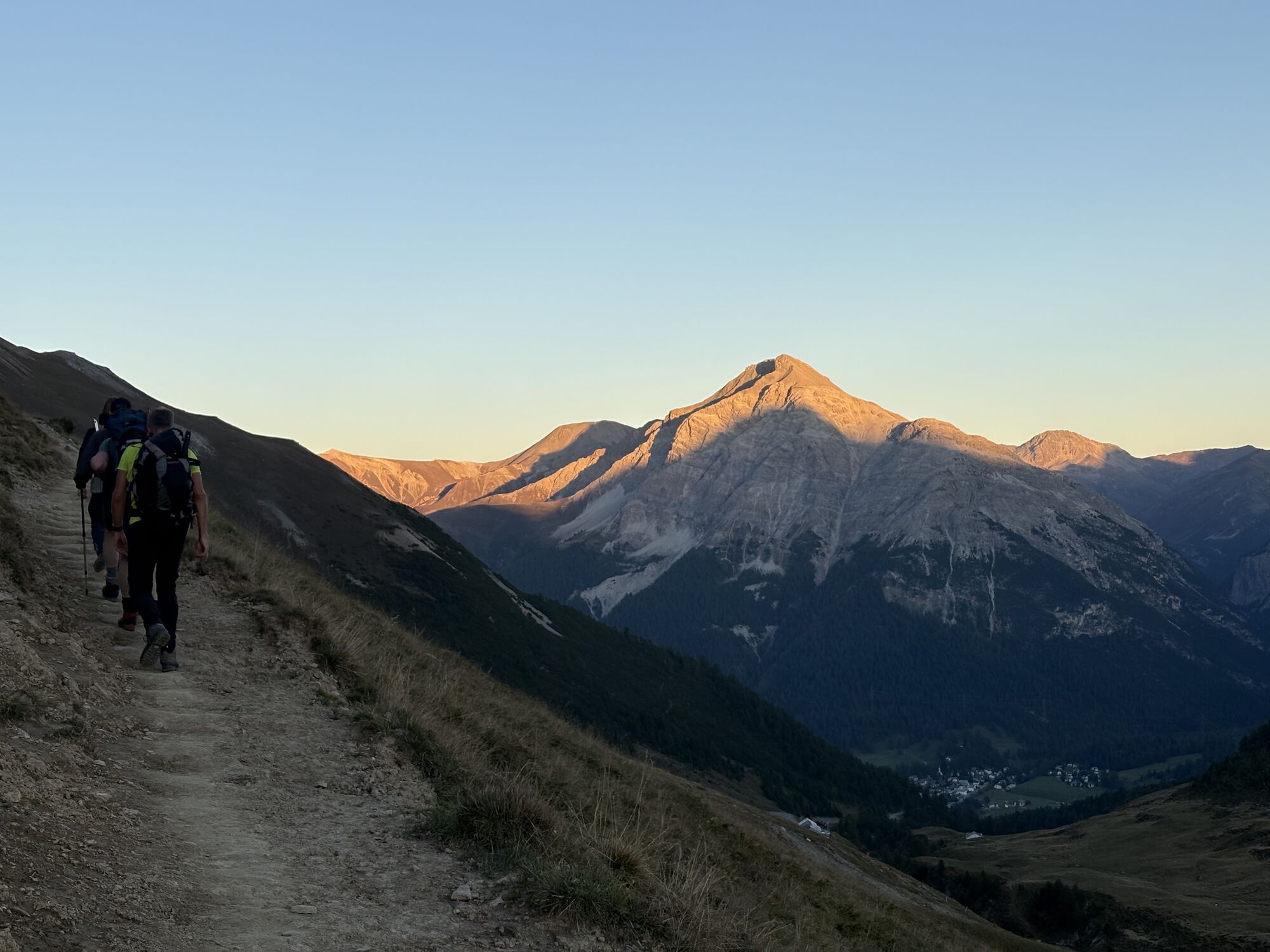
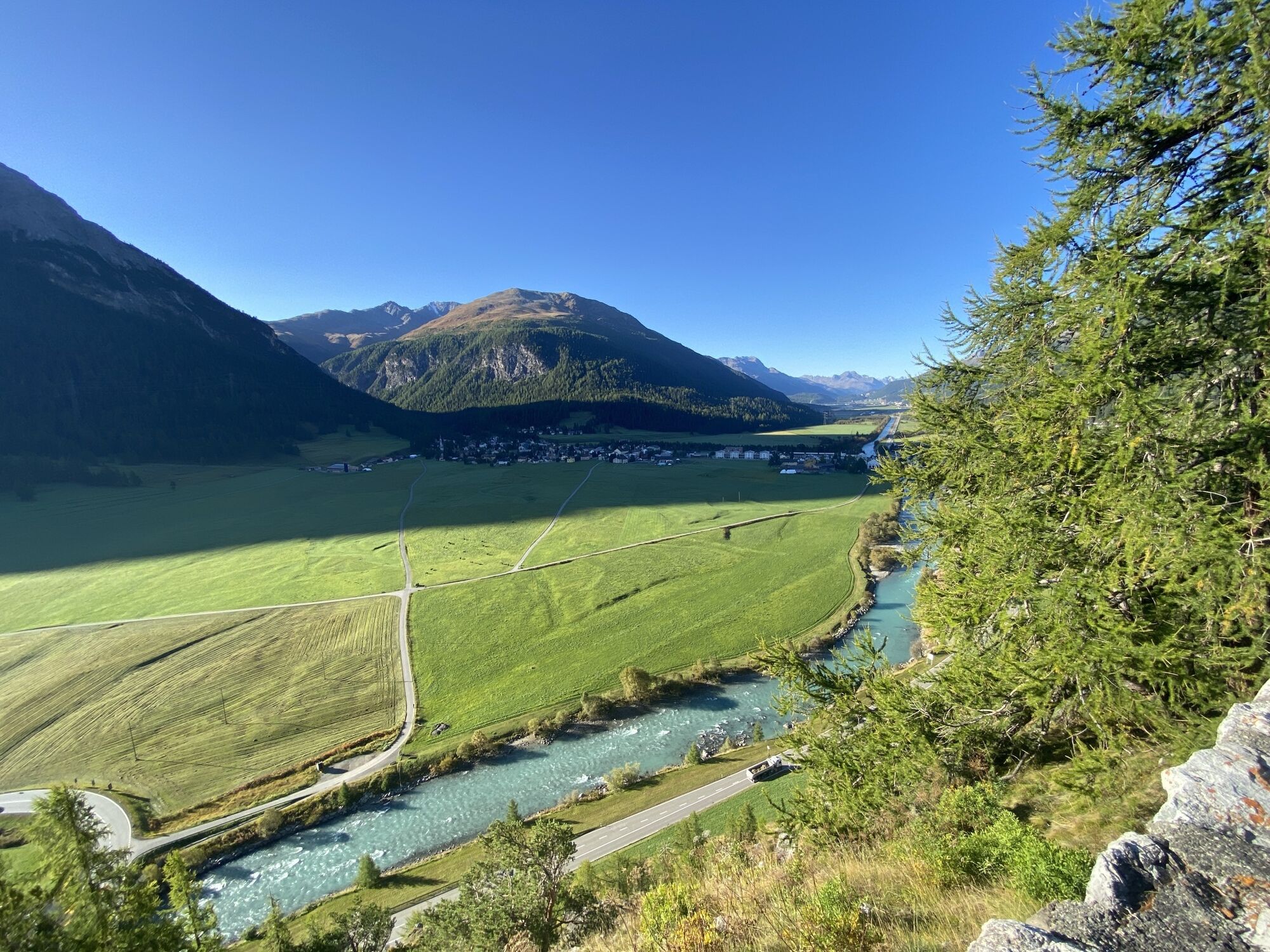
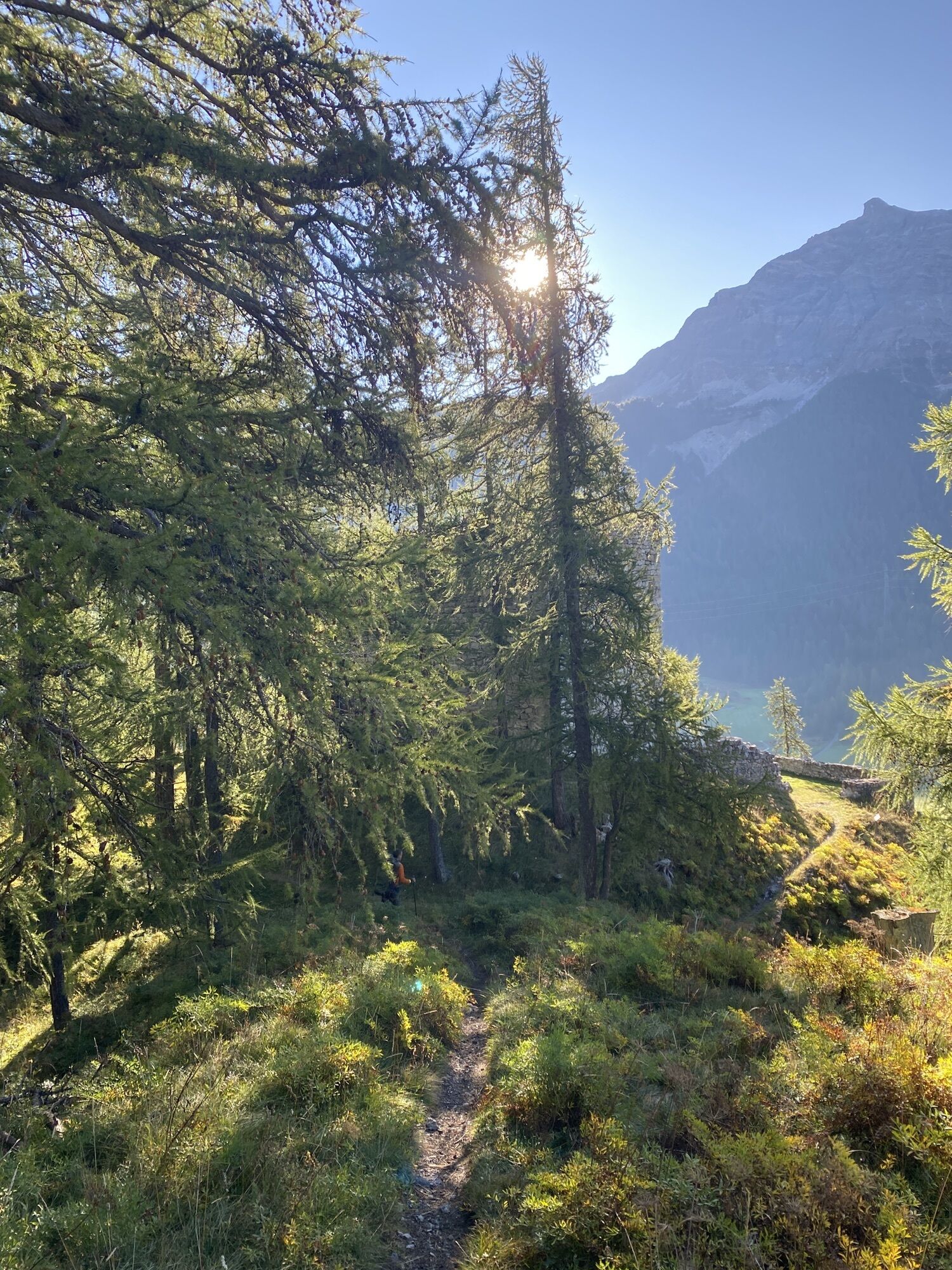
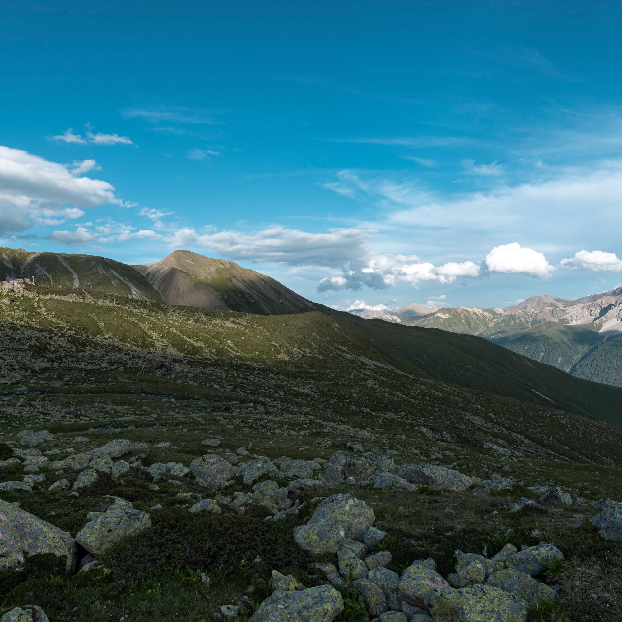
The starting point of the approximately three-hour route is Madulain train station, from where the hiking trail initially leads upwards into the forest, then over alpine pastures. The path keeps ascending...
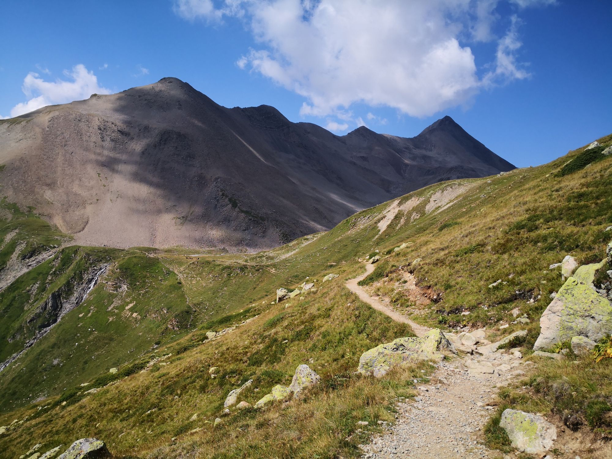
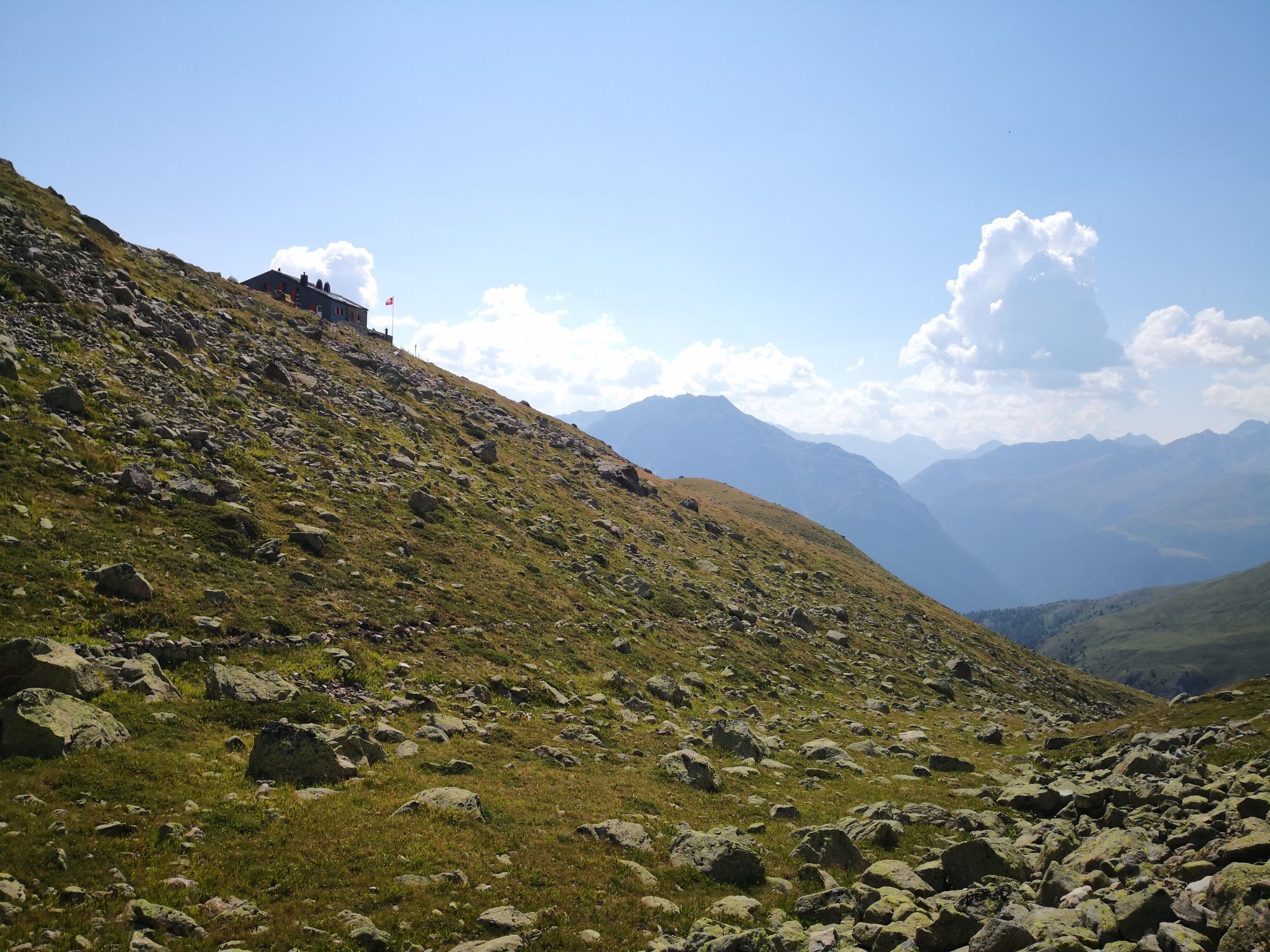
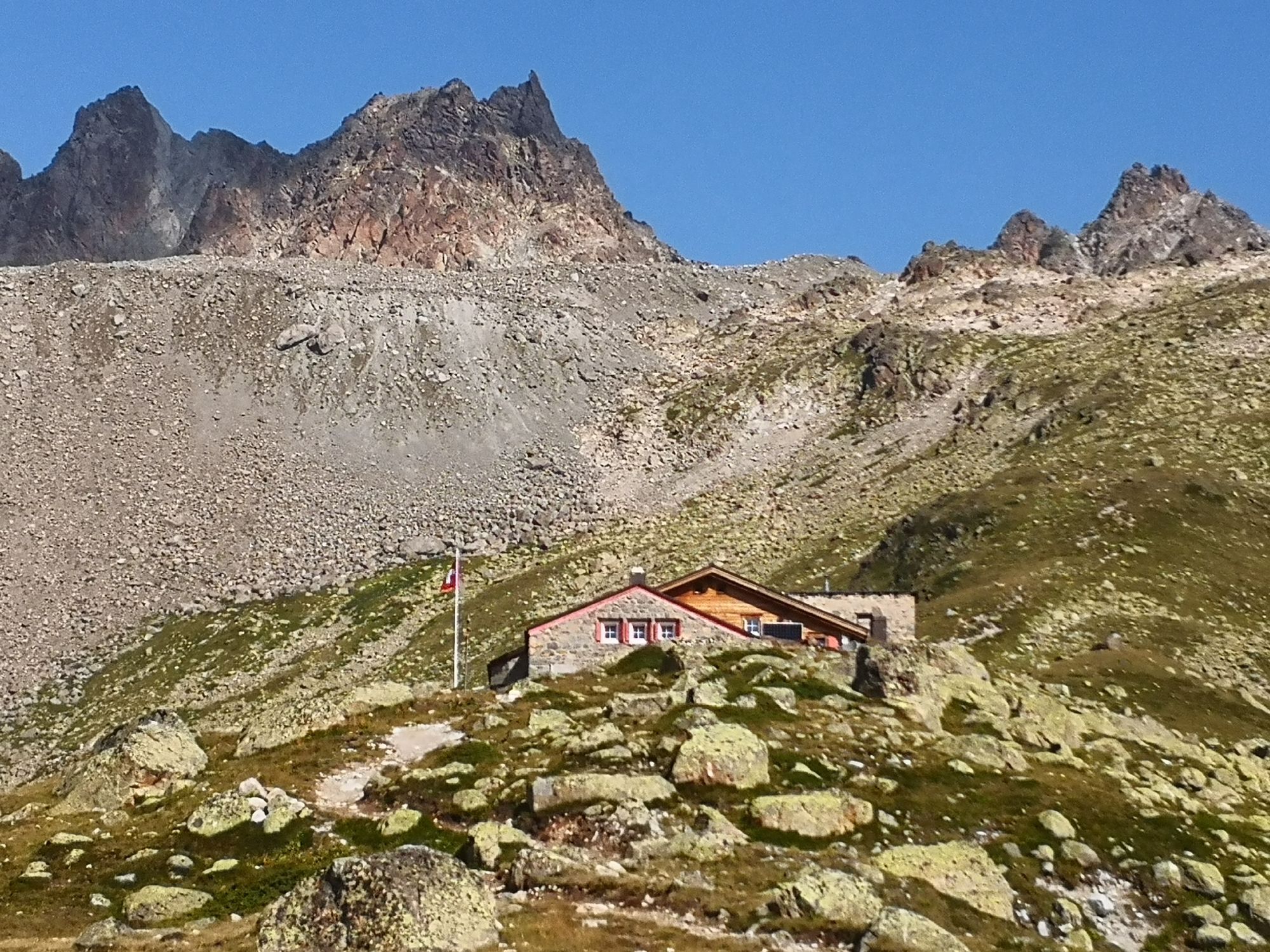
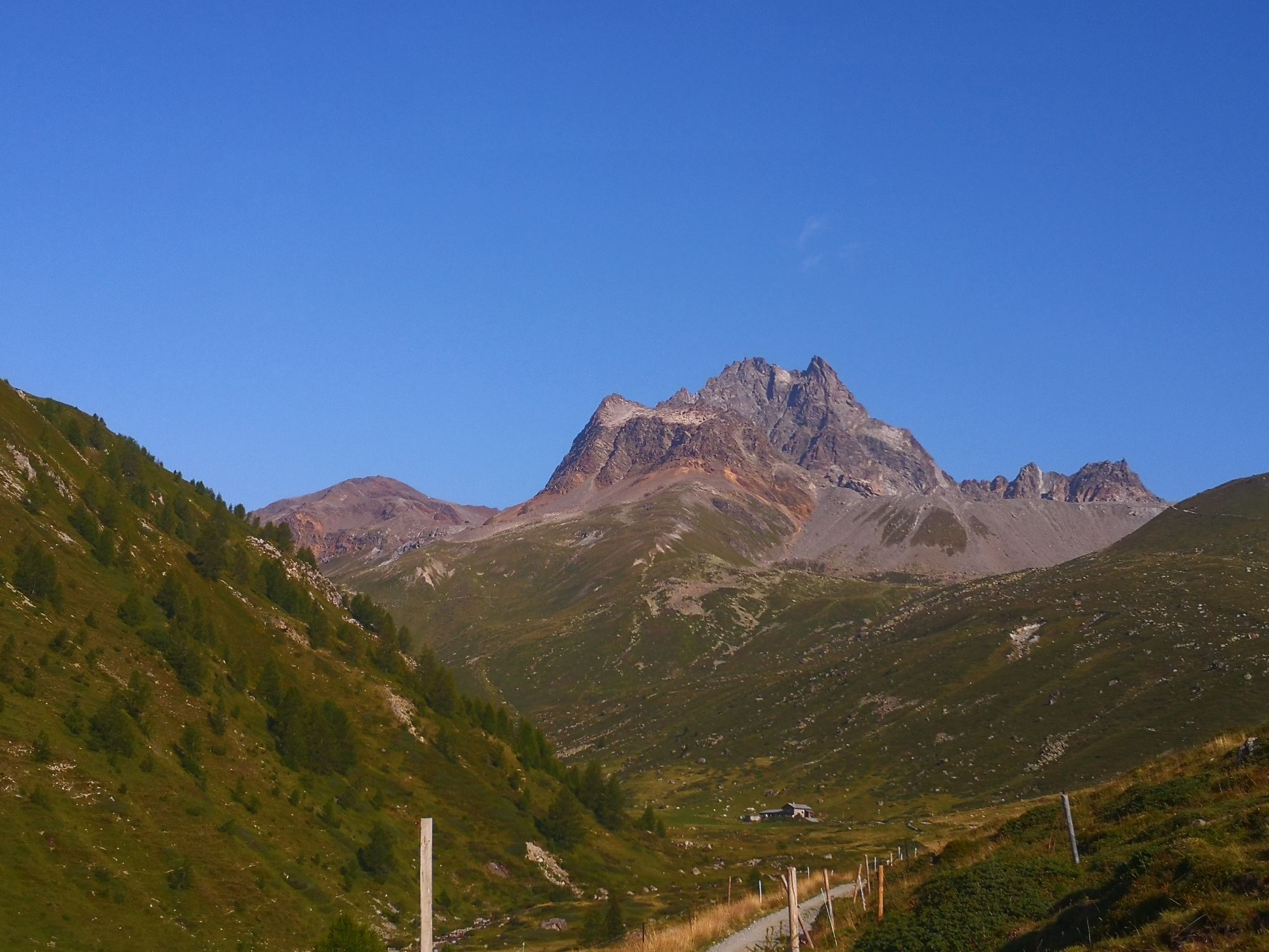
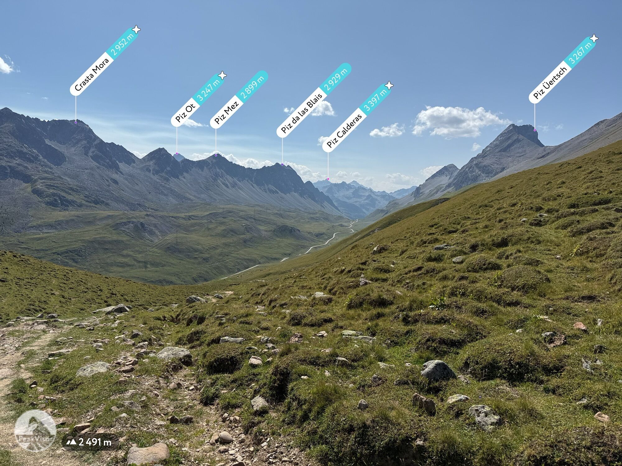
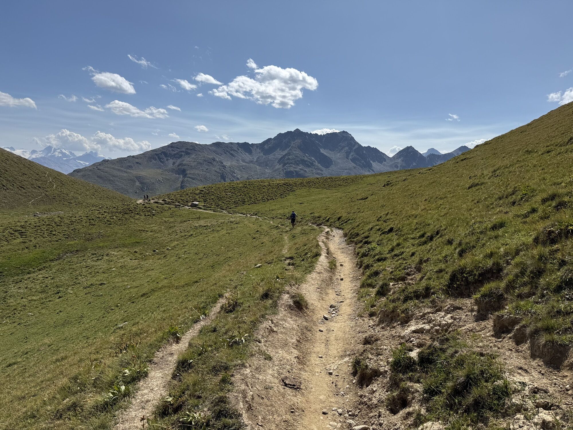
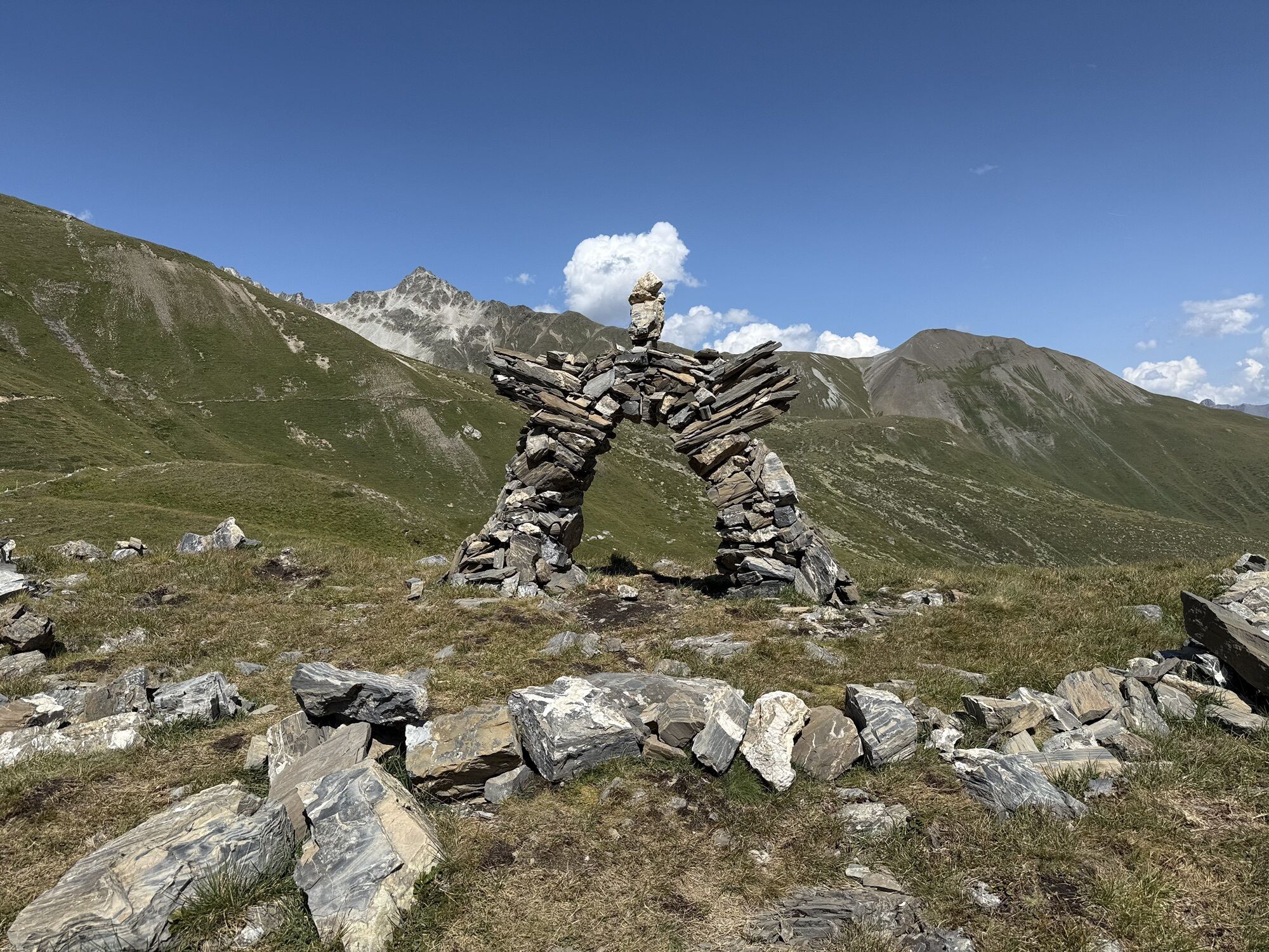
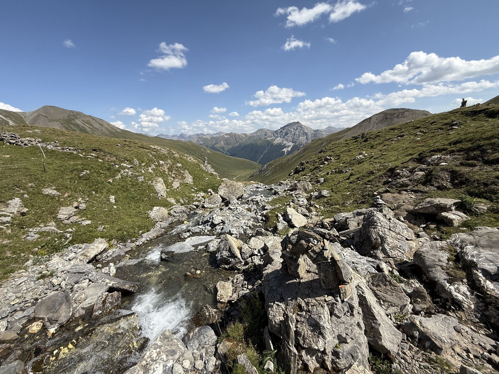
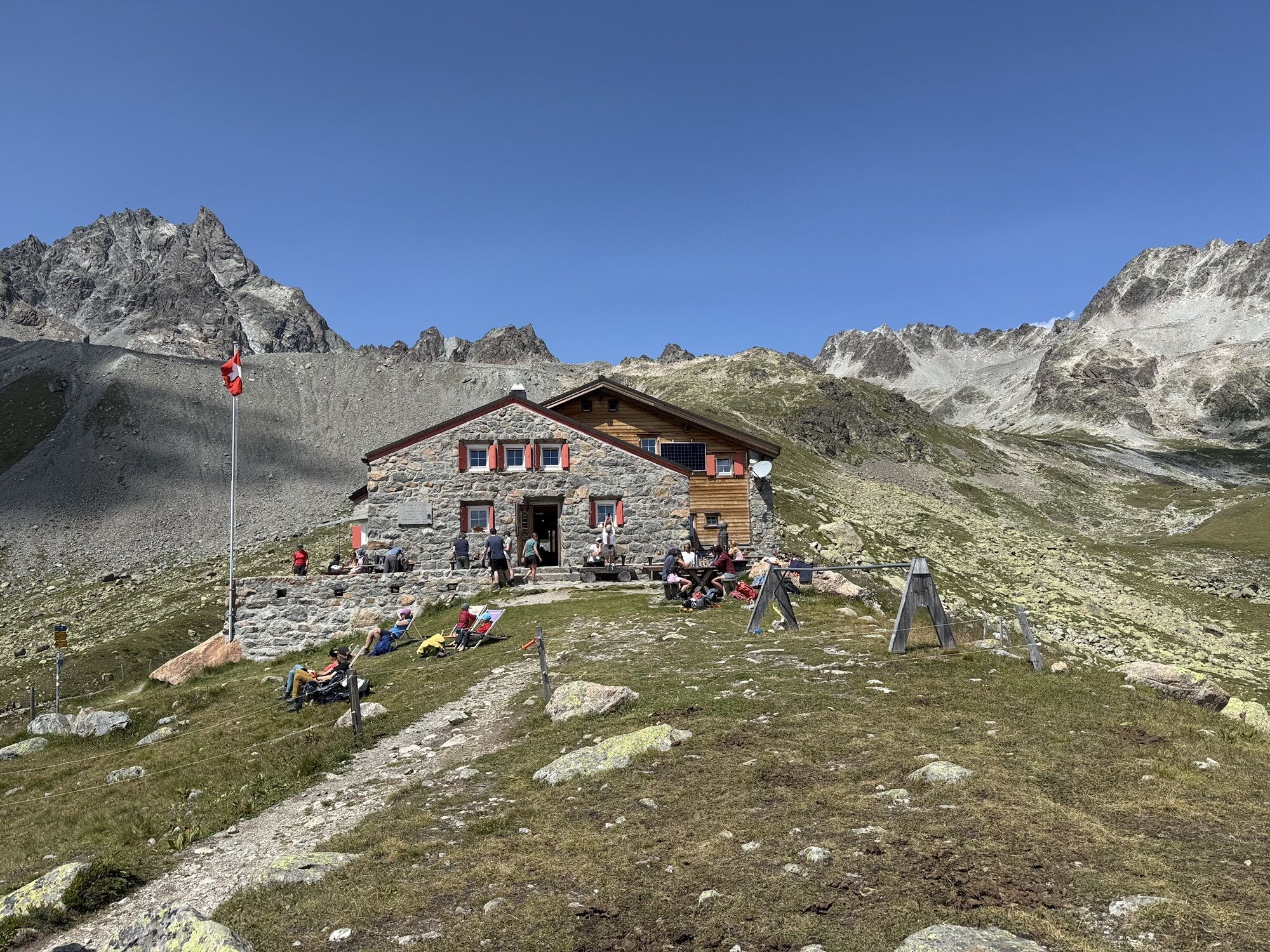
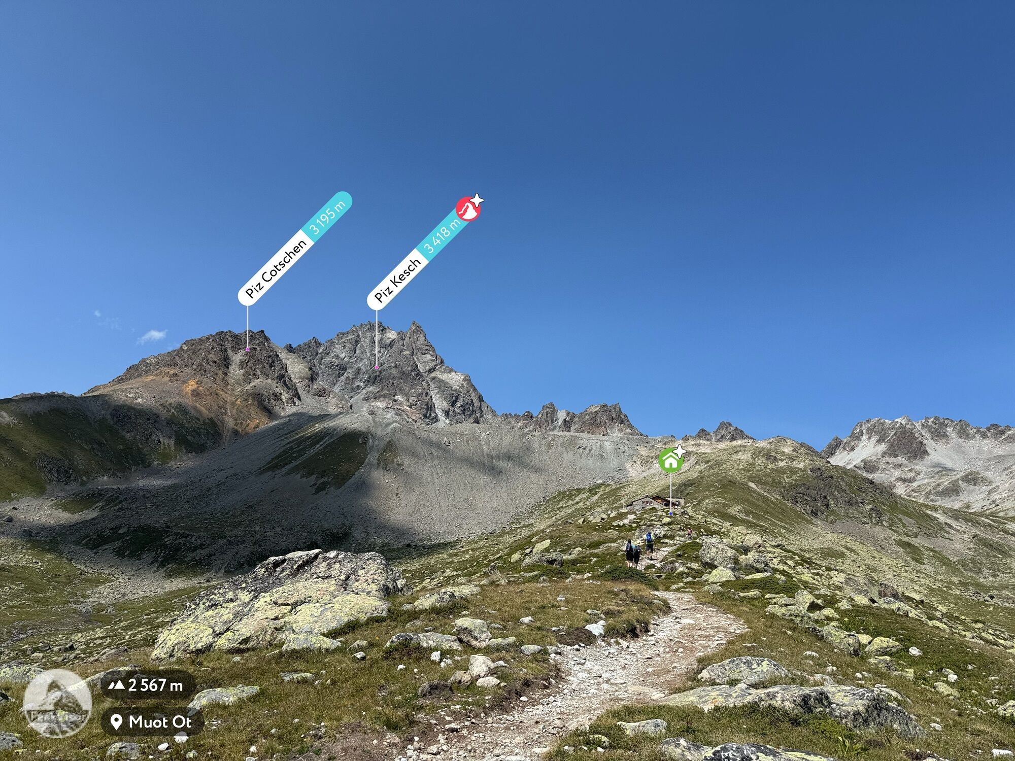
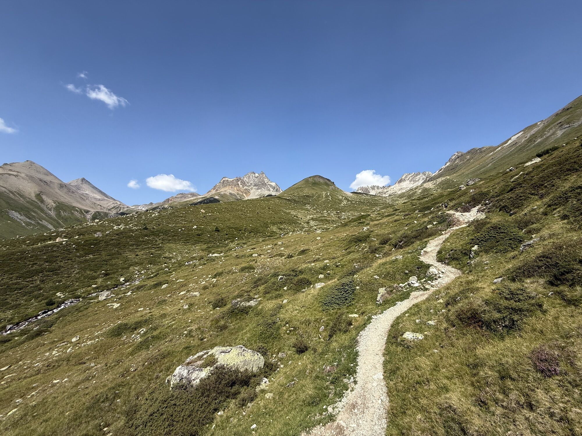
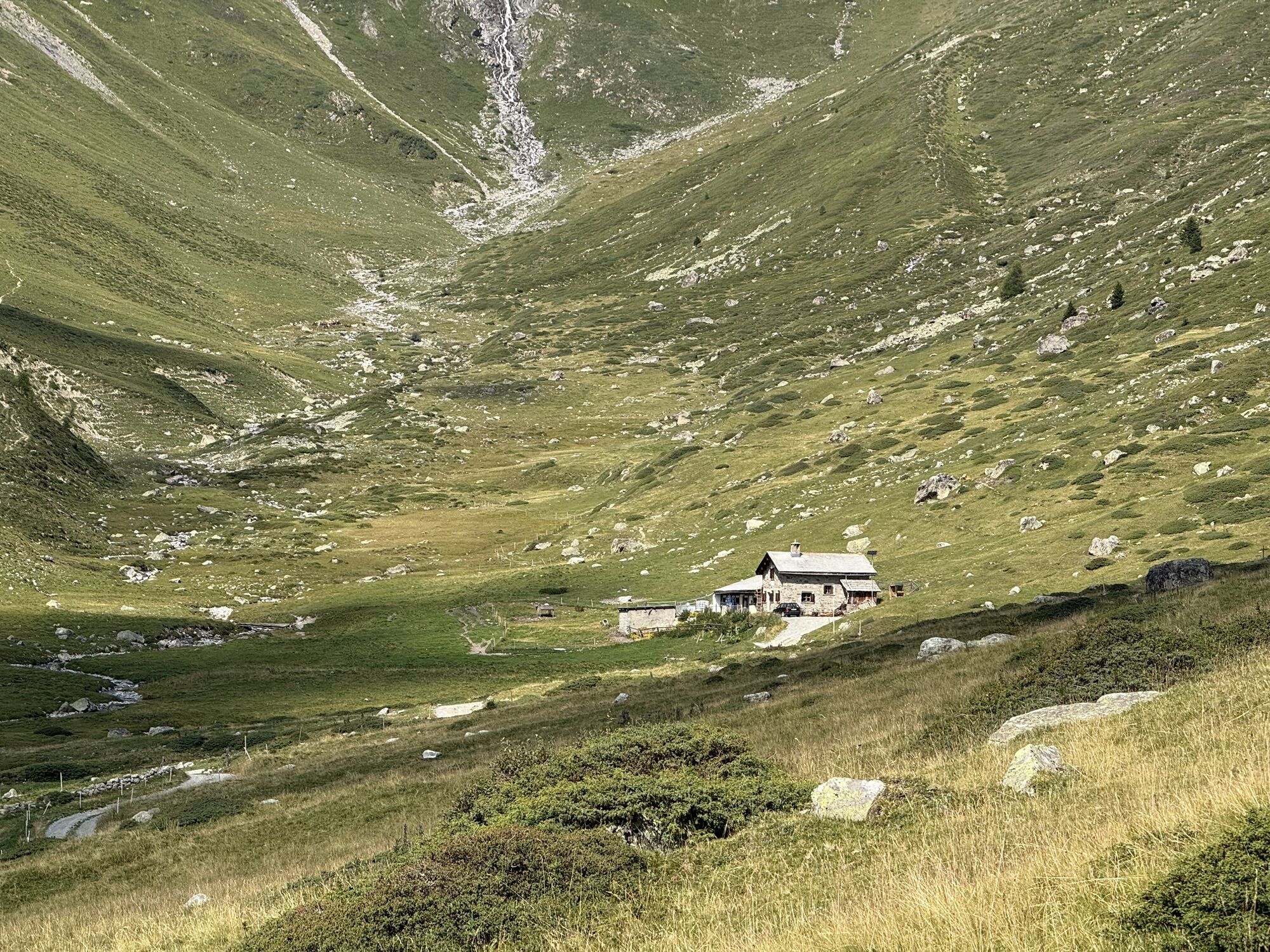
The starting point of the approximately three-hour route is Madulain train station, from where the hiking trail initially leads upwards into the forest, then over alpine pastures. The path keeps ascending into Val Mura, then turns left to the Es-cha hut. During the well-deserved break on the sun terrace, enough energy is gained to continue following the path: along the flank of Piz Kesch to Fuorcla Gualdauna and then down to the Albulastrasse. You walk a short stretch along the road here, but soon the hiking trail signposts the turn to Alp Nova. This path is later crossed by the Via Engiadina, which you follow to the mountain pass road and then back to Madulain. Along the way, you also pass the ruins of Guardaval, a historic and legendary landmark of Upper Engadin.
Further information
Engadin Tourism AG
Via Maistra 1
CH-7500 St. Moritz
Phone: +41 81 830 00 01
E-mail: allegra@engadin.ch
Internet: www.engadin.ch

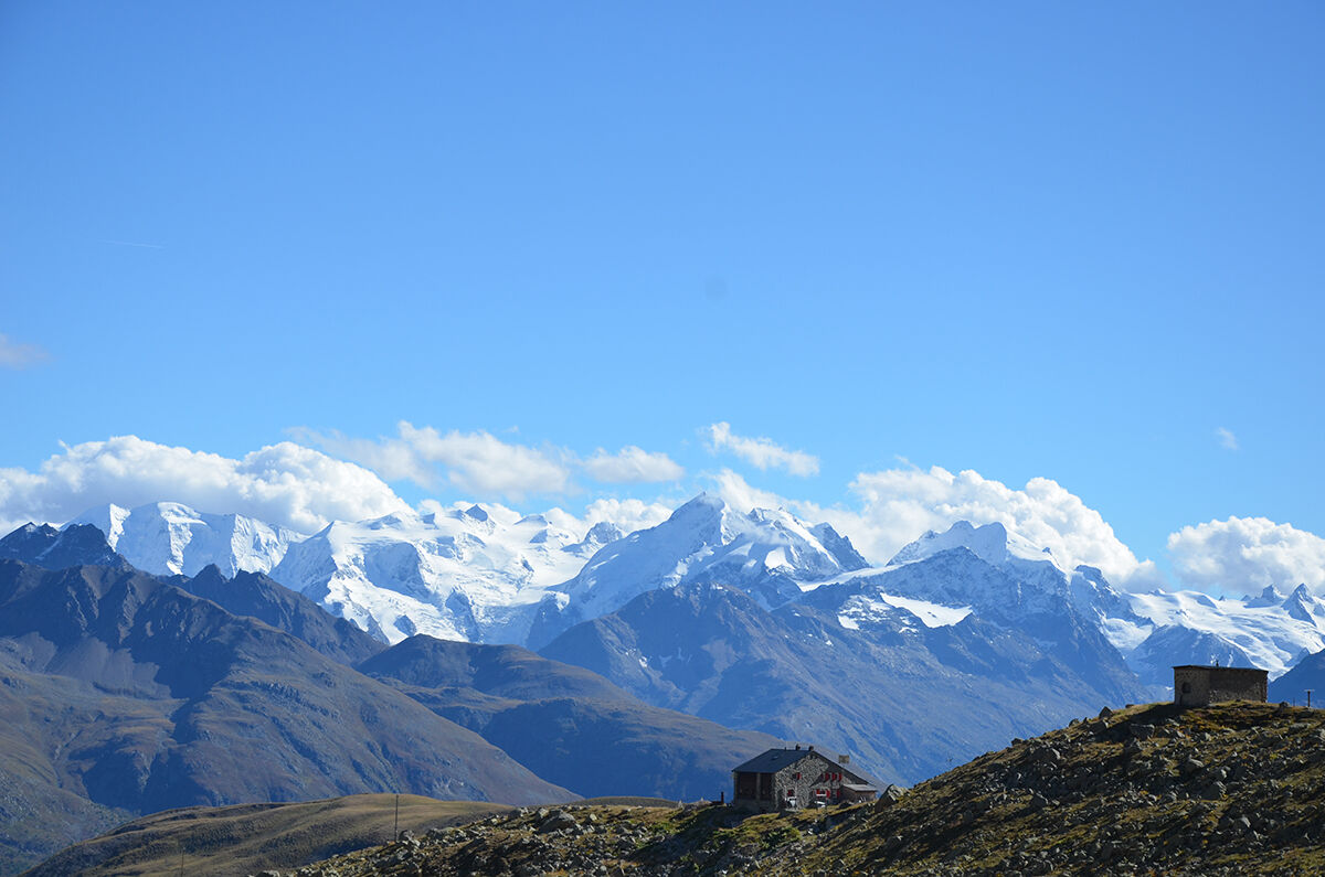
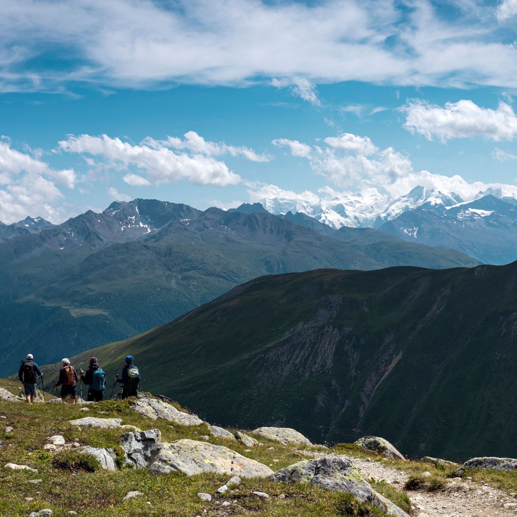
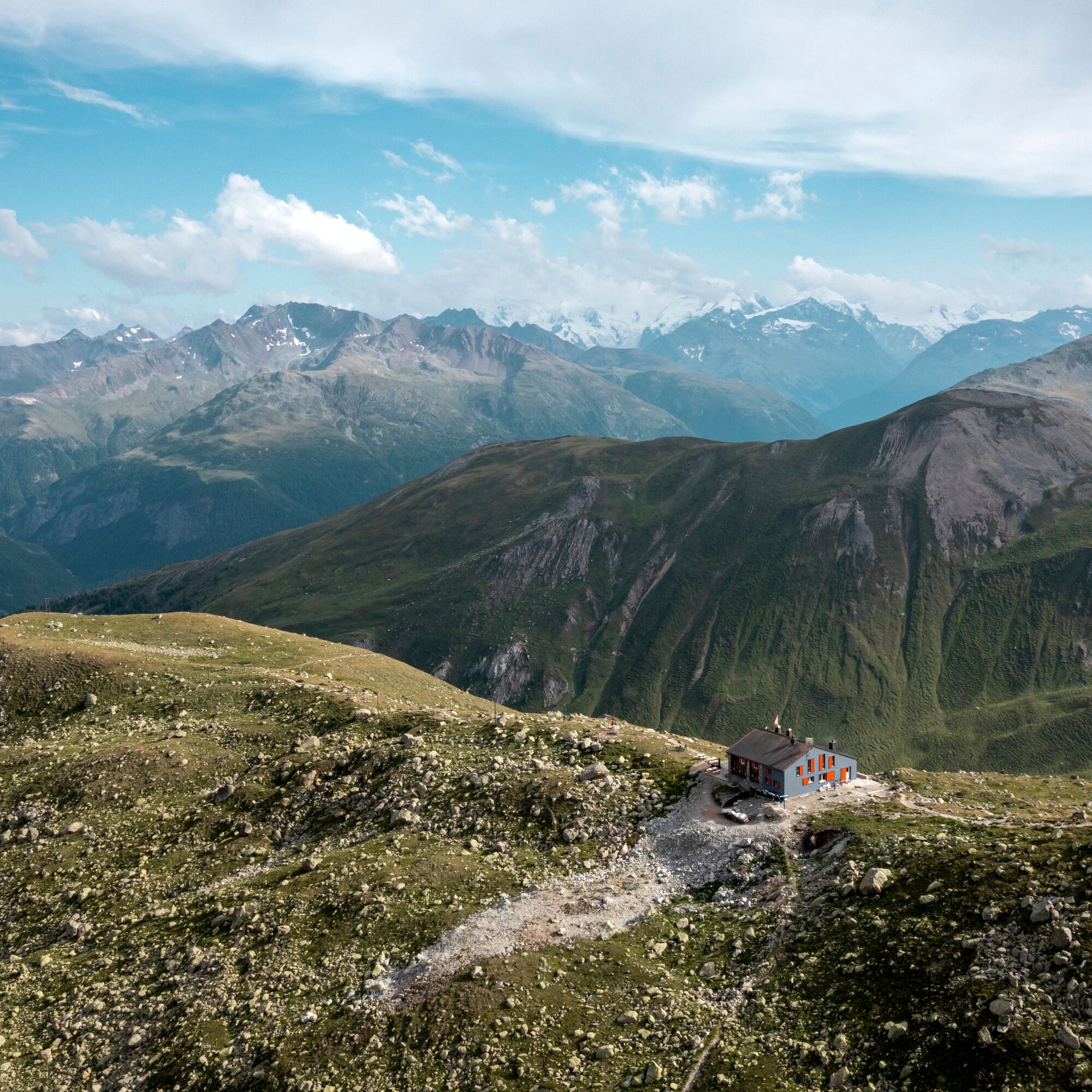
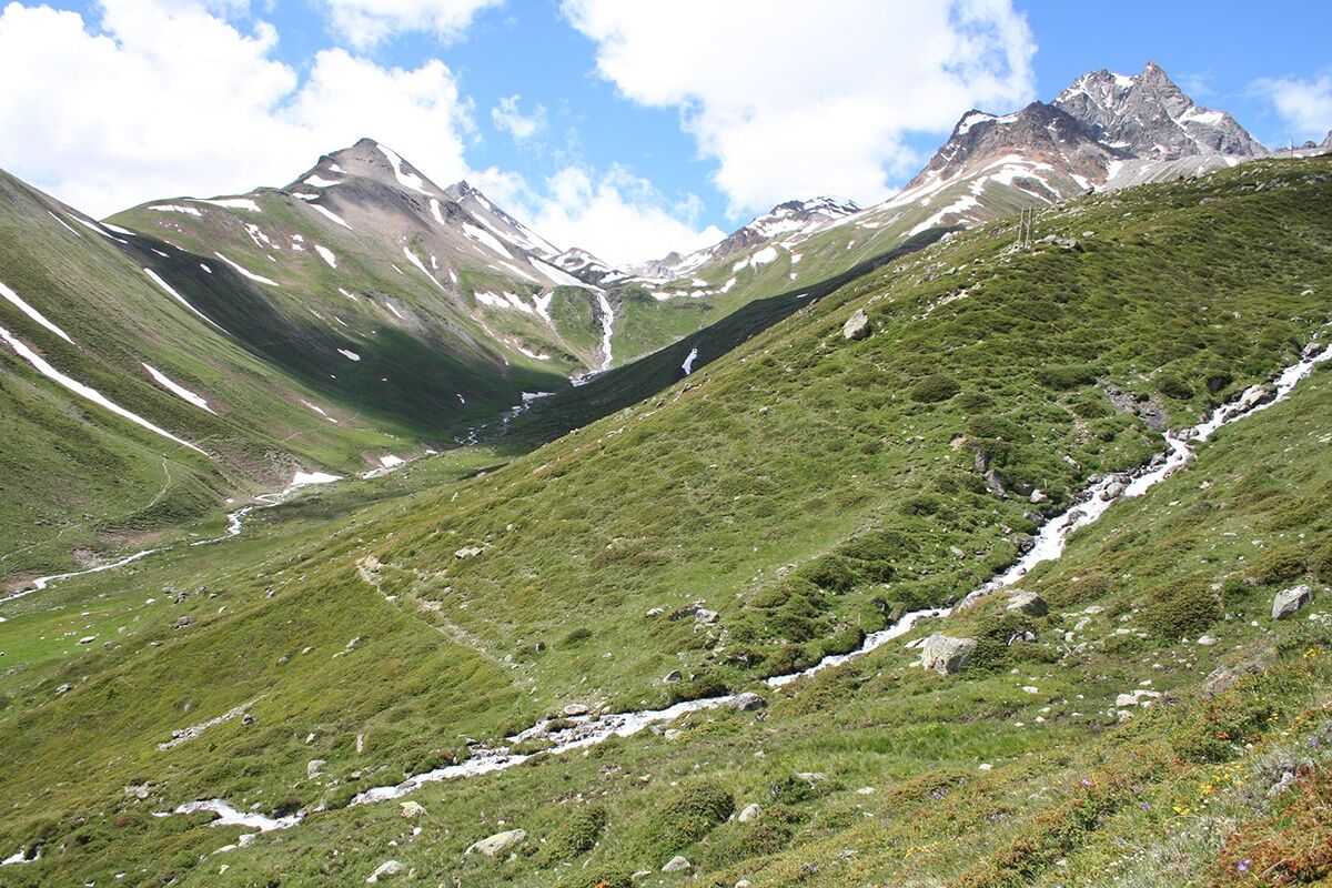
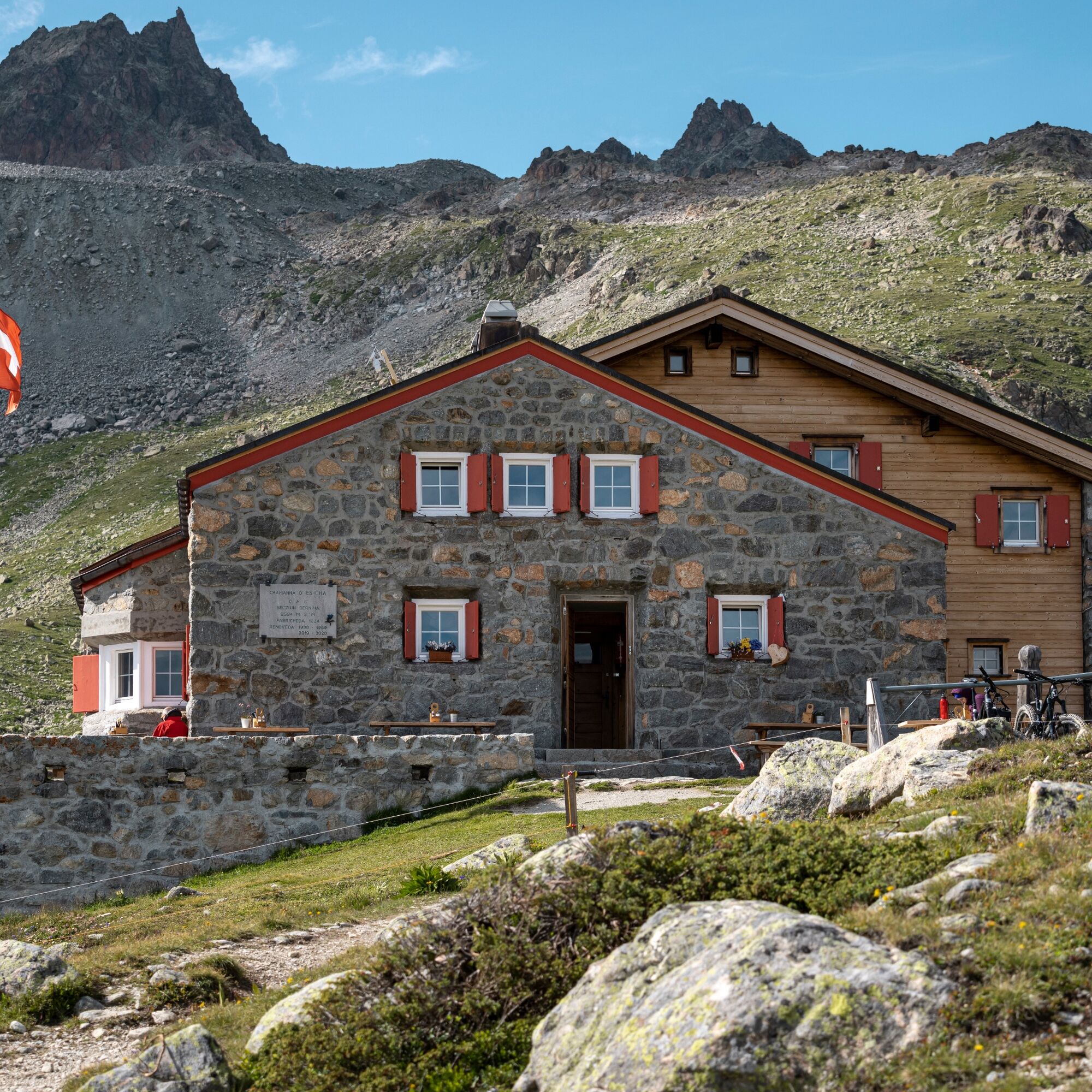
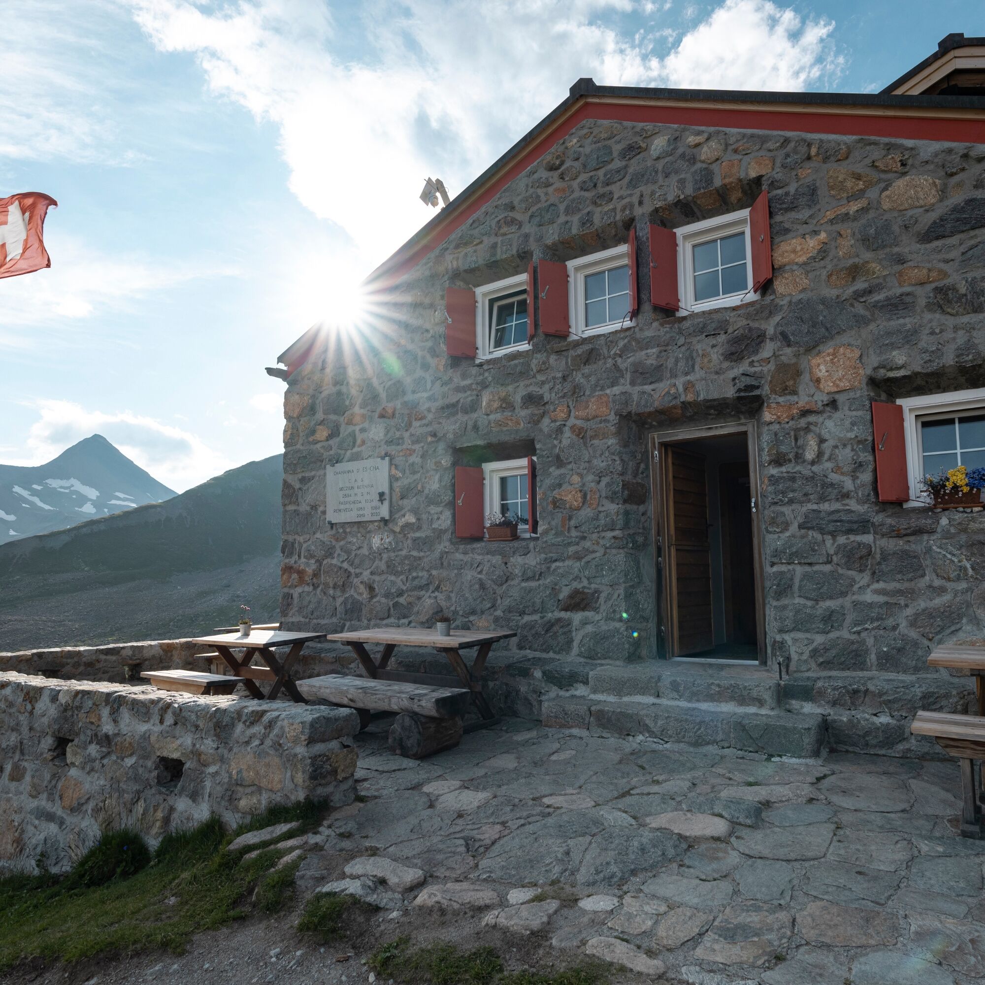

Madulain - Alp Es-cha - Chamanna d'Es-cha - Fuorcla Gualdauna - Madulain
Áno
The Guardaval Sound Openair takes place in summer at the Guardaval ruins.



Obľúbené výlety v okolí
-
4,7
Panoramic route Muottas Muragl
svetloTuristika 6,75 km -
4,9
Circular hike Val Trupchun in the Swiss National Park
strednáTuristika 13,8 km -
5,0
Muottas Muragl - Segantini hut - Pontresina
strednáTuristika 6,46 km -
4,8
Around Lake St. Moritz
svetloTuristika 4,32 km -
Muottas Muragl - Segantini Hütte - Pontresina
strednáTuristika 17,5 km -
4,8
Alp Languard - Segantini Hut - Muottas Muragl
strednáTrailrunning 6,45 km -
5,0
Lej Muragl
strednáTuristika 7,39 km -
4,3
Val Roseg
strednáZimná turistika 6,96 km -
5,0
Alp Languard - Paradis Hut - Pontresina
svetloTuristika 7,05 km -
4,6
Marathon
strednáBeh na lyžiach 42,9 km
Turistika a stopovanie


Nenechajte si ujsť ponuky a inšpiráciu na ďalšiu dovolenku
Vaša e-mailová adresa bol pridaný do poštového zoznamu.





