






Circular hike Regitzer Spitz
Úroveň náročnosti: T2
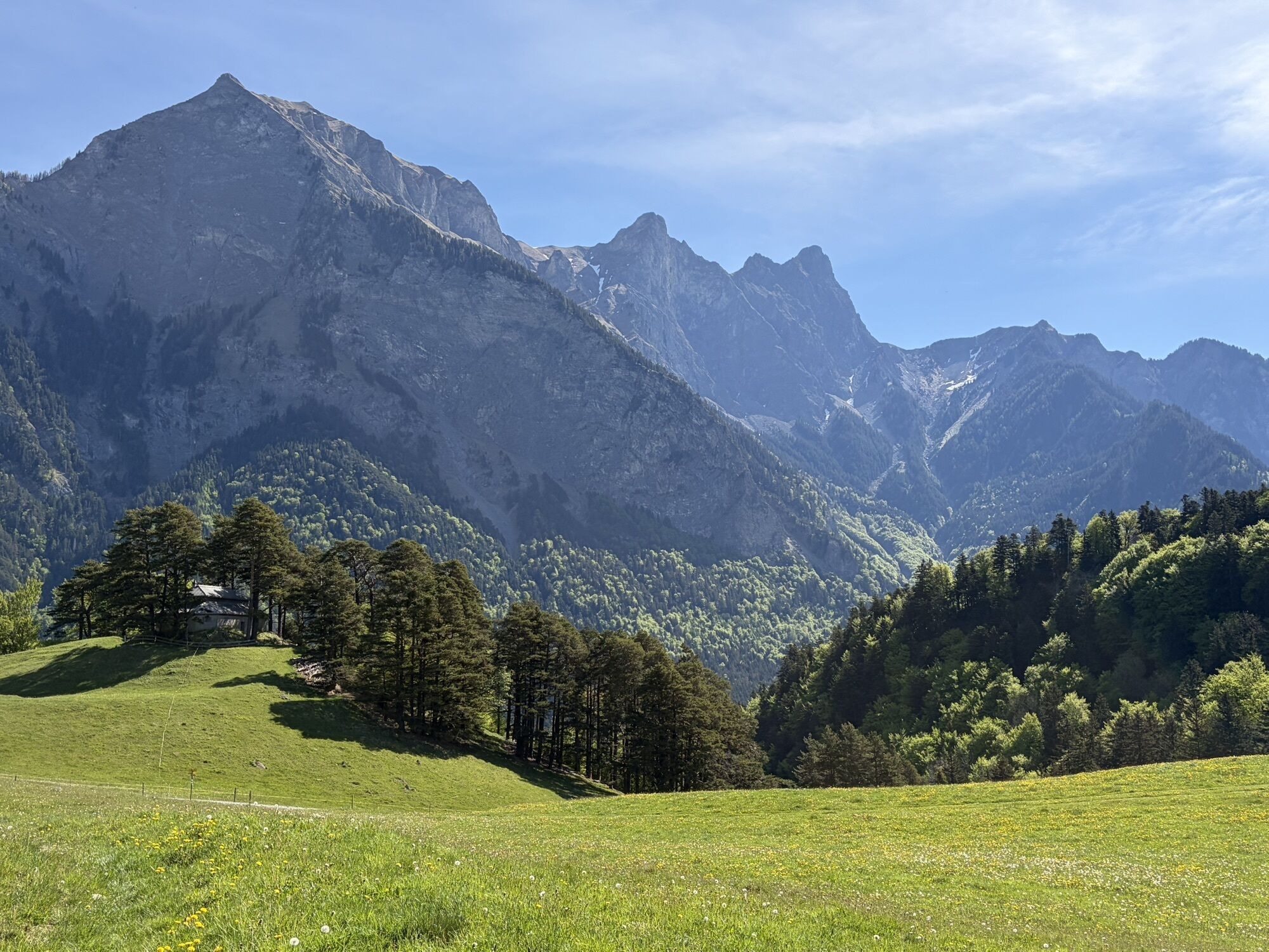
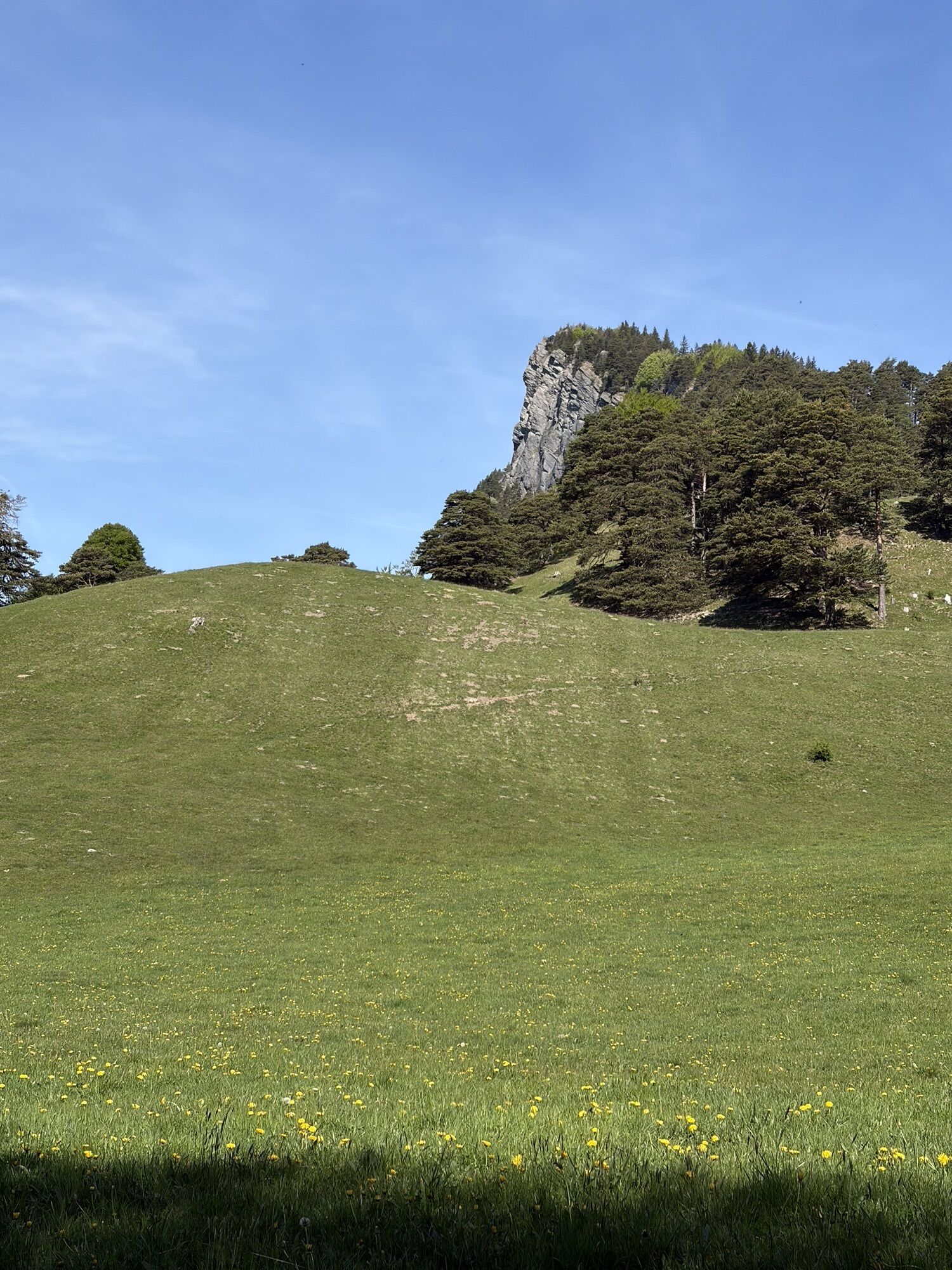
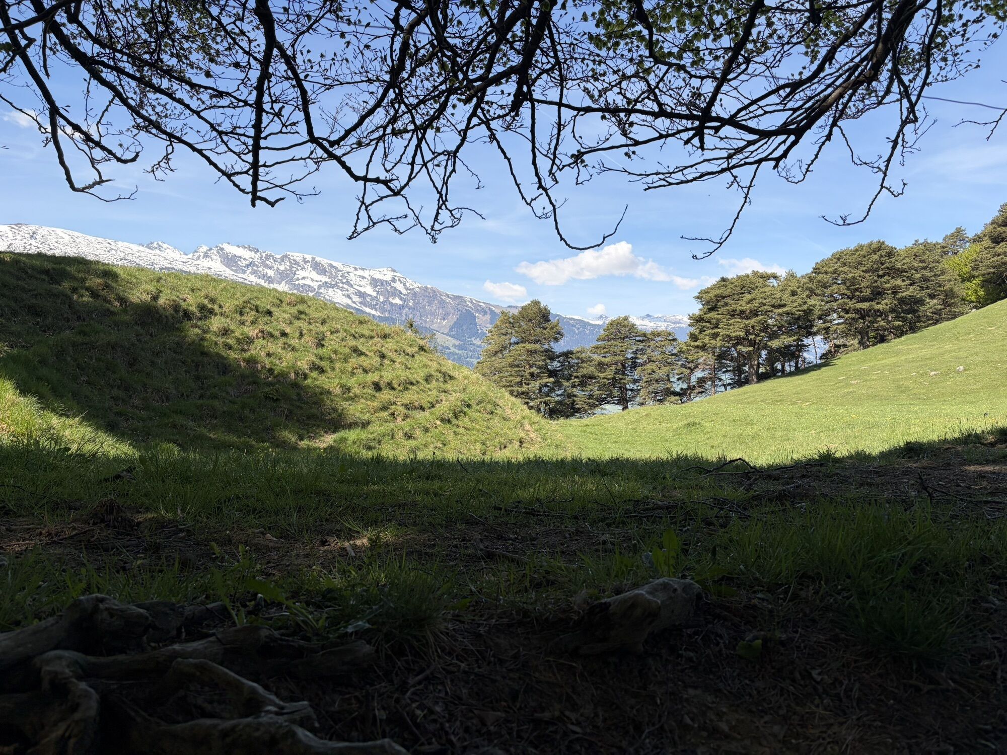
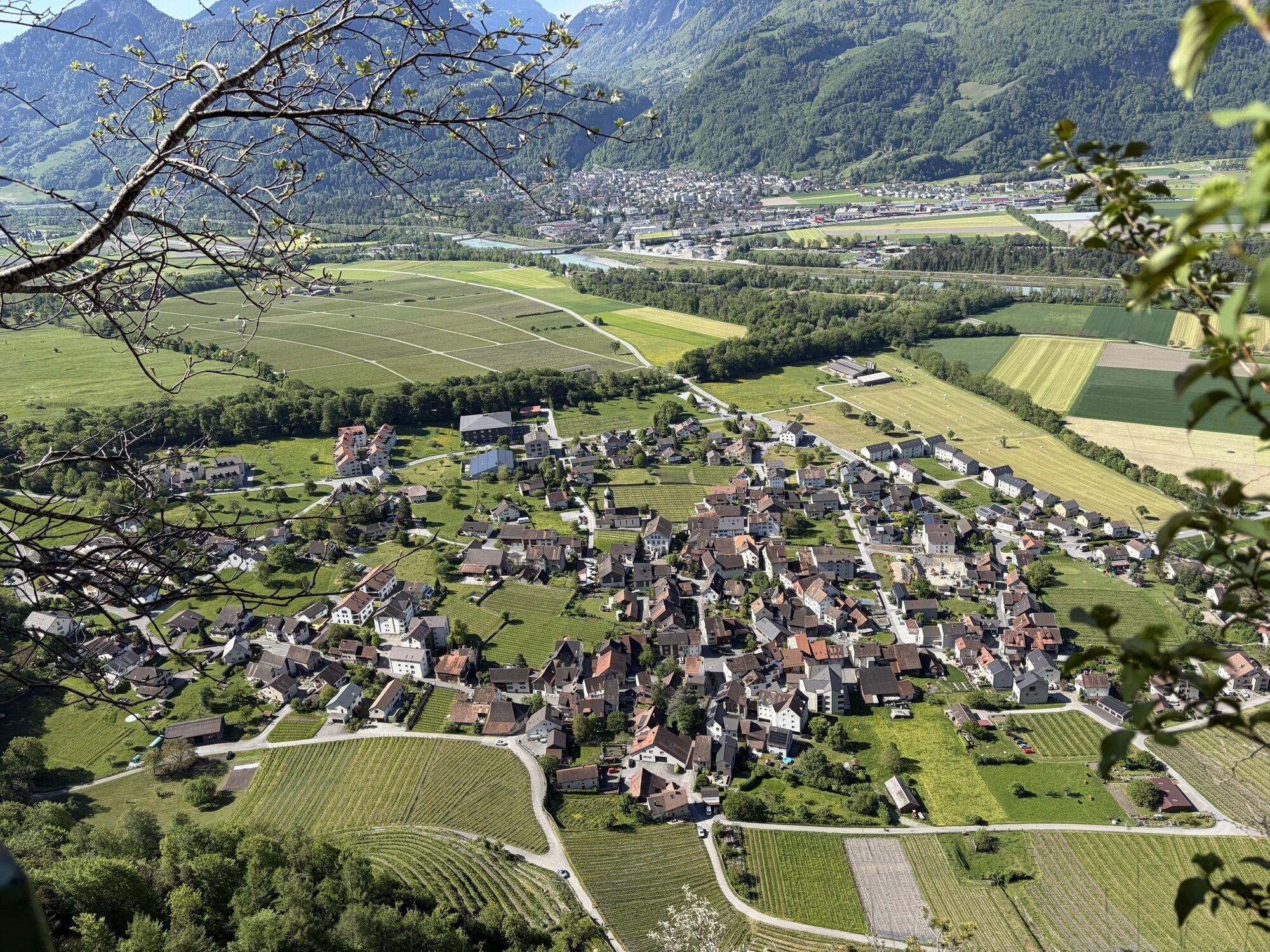
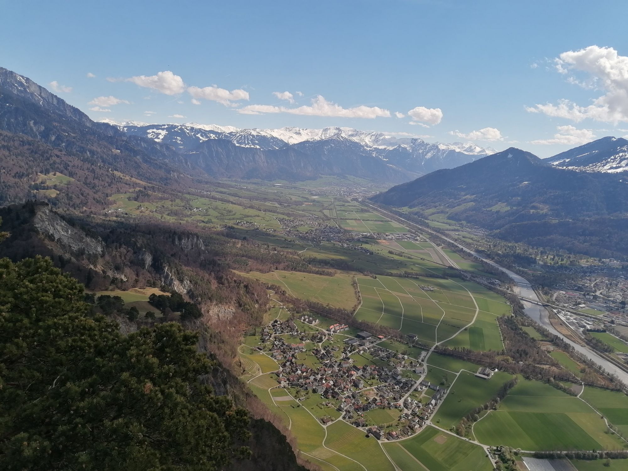
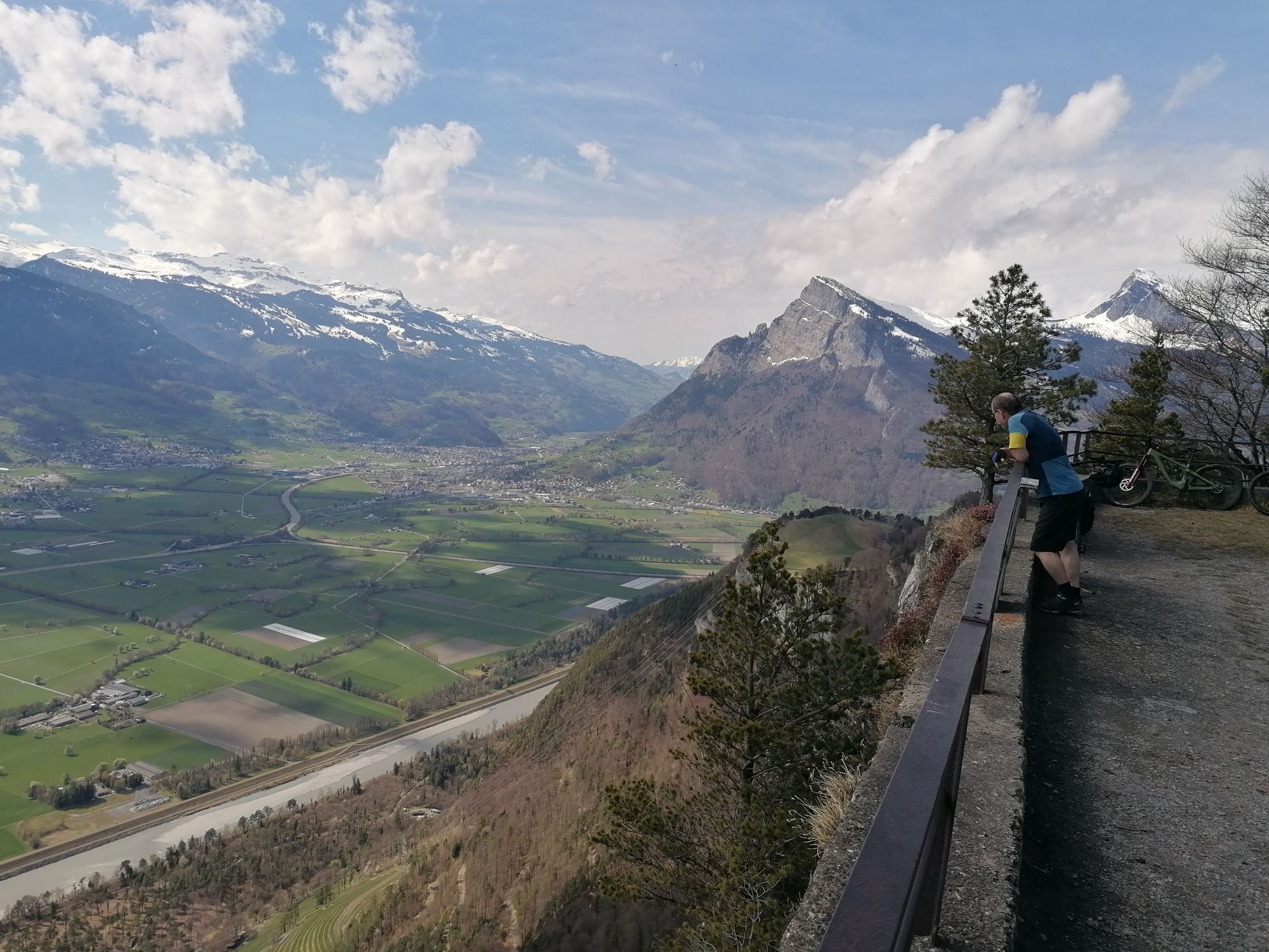
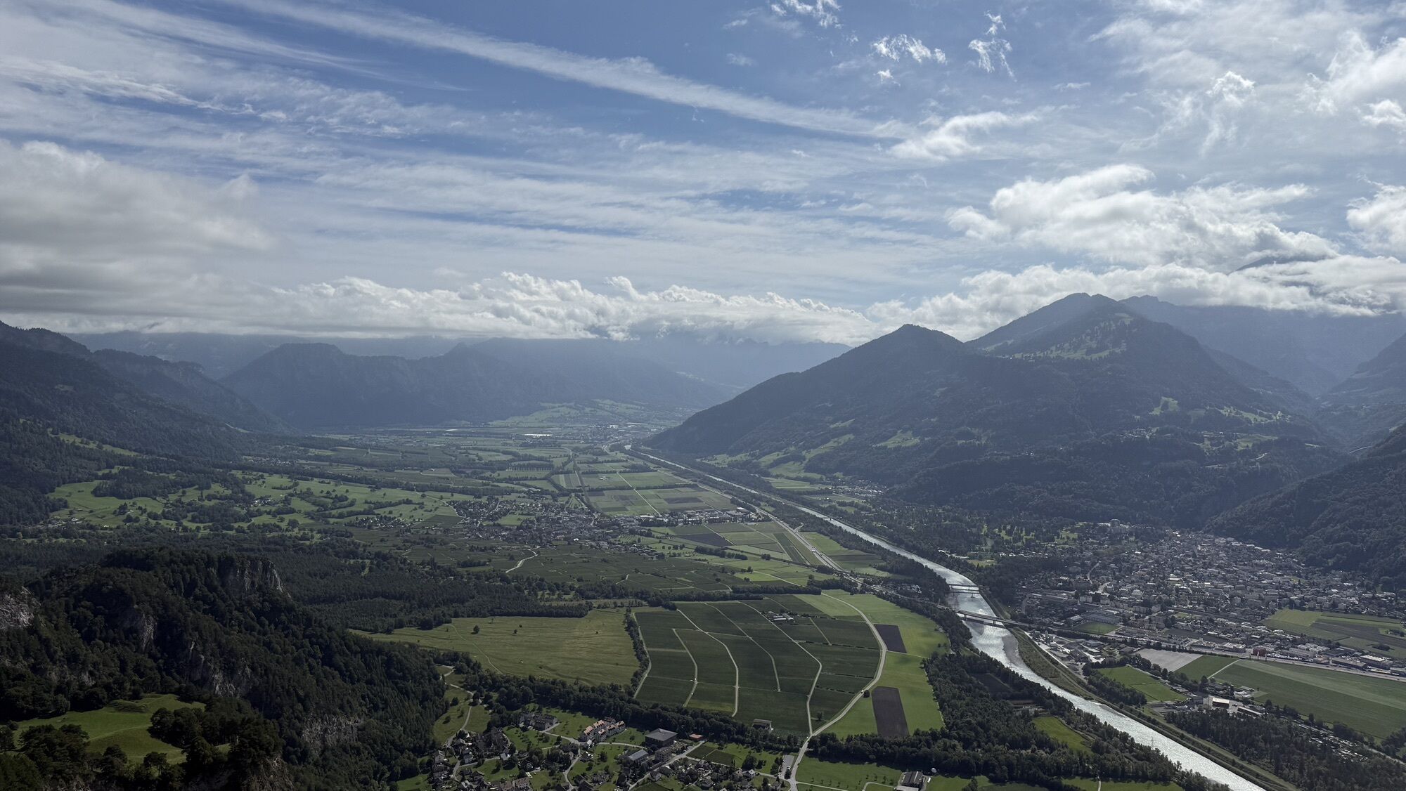
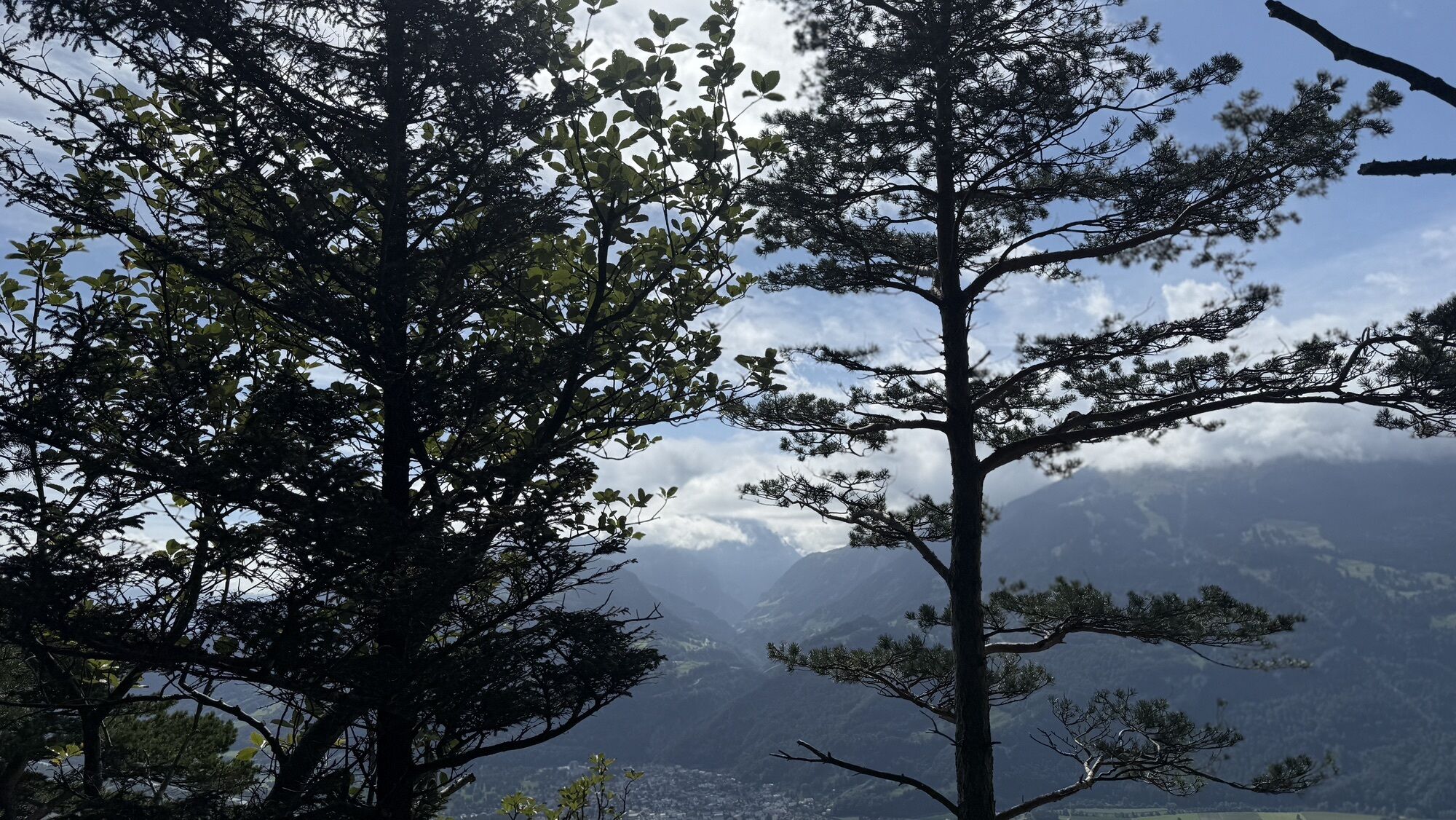
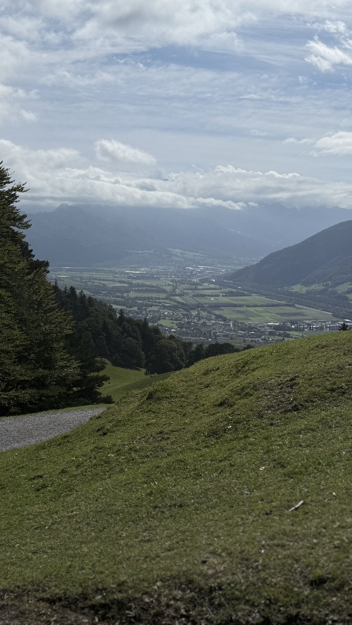
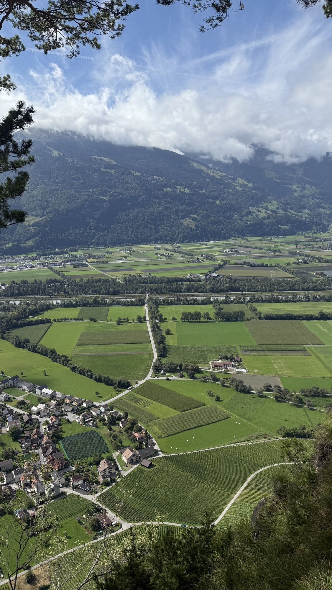
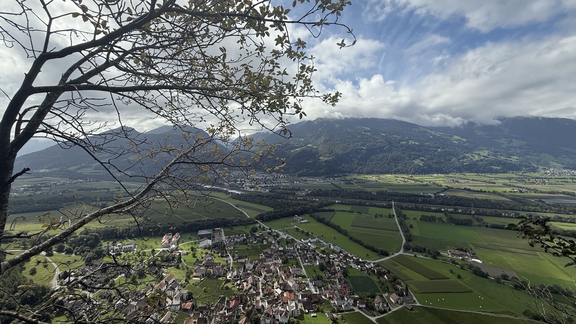
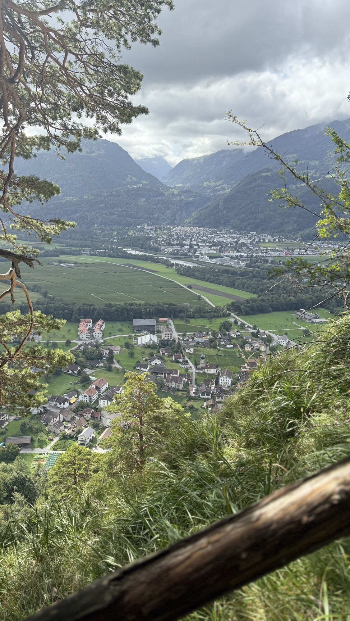
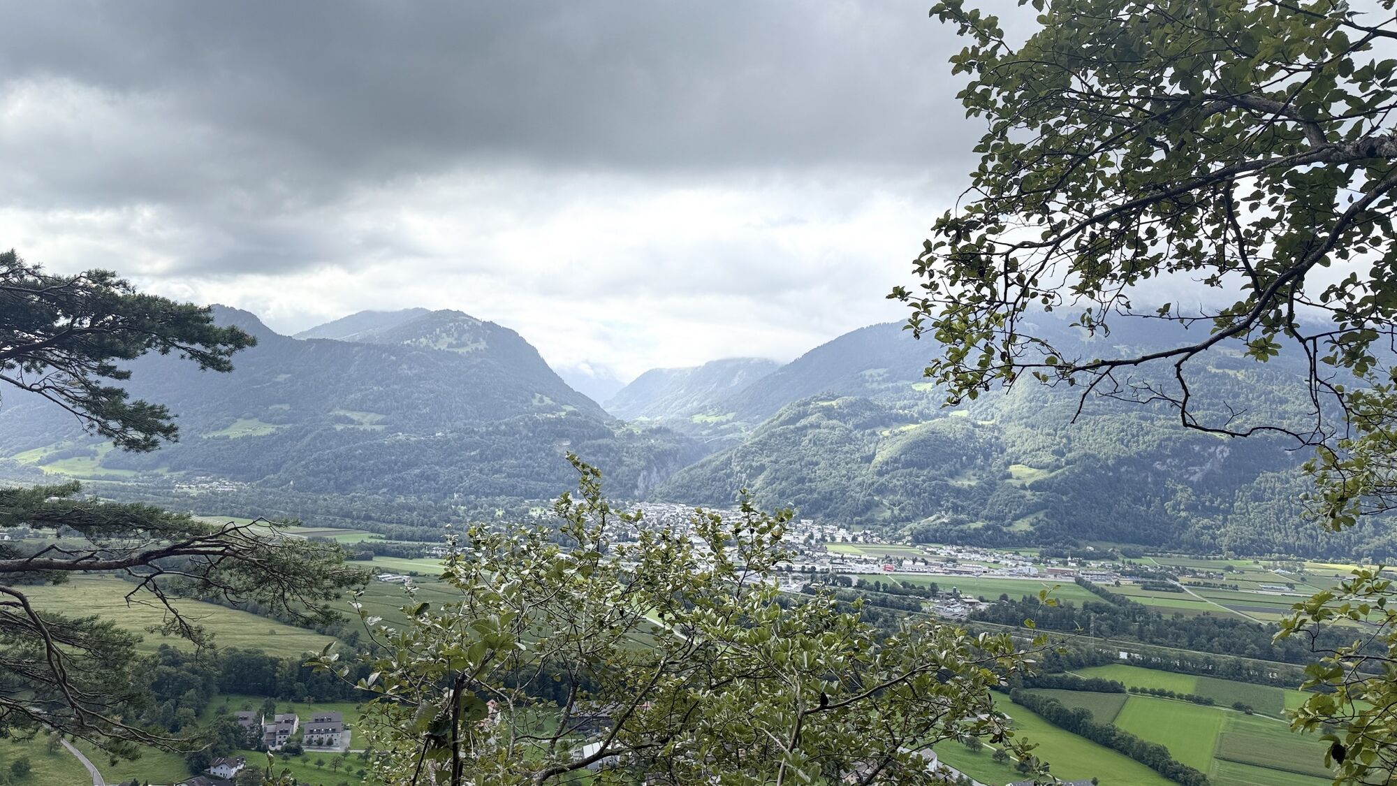
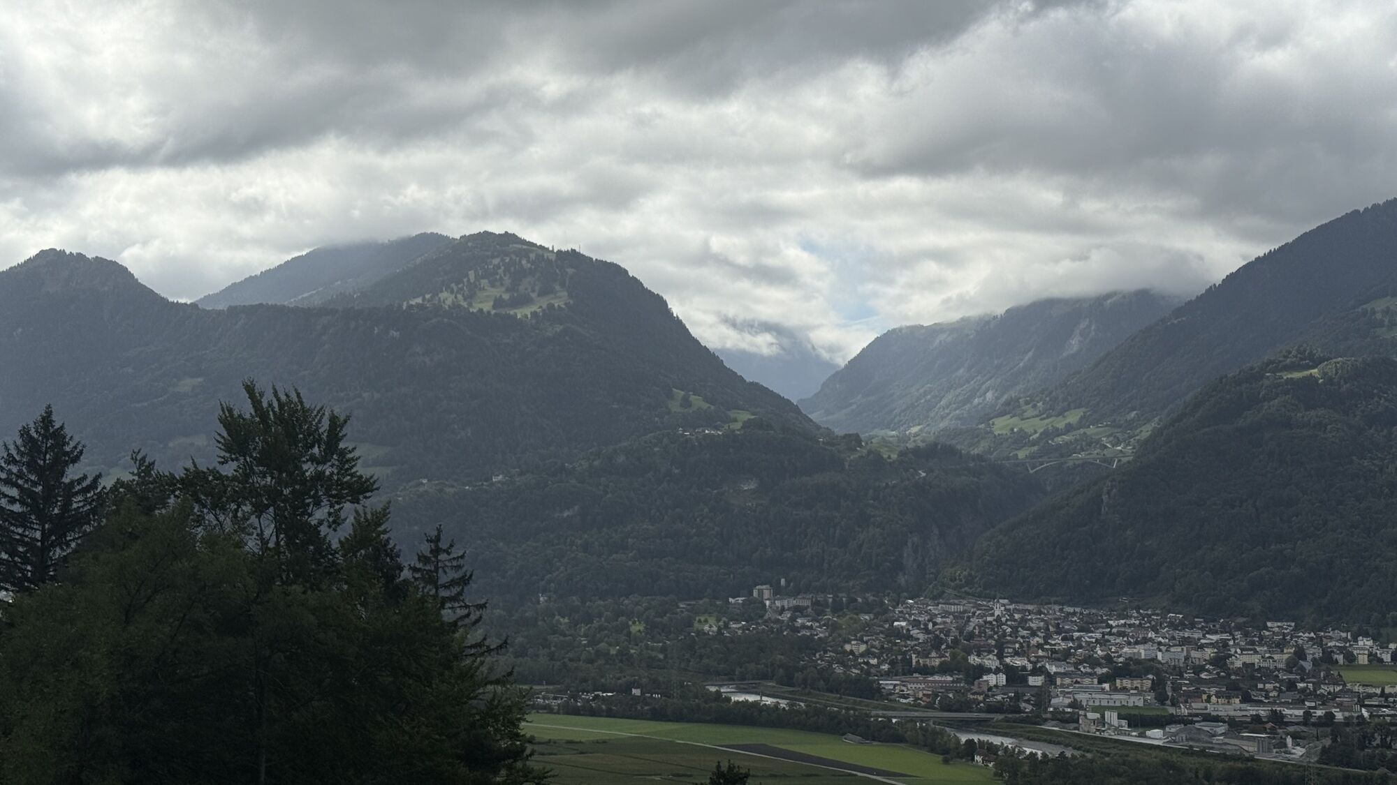
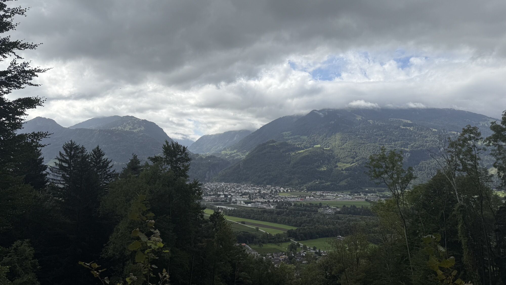
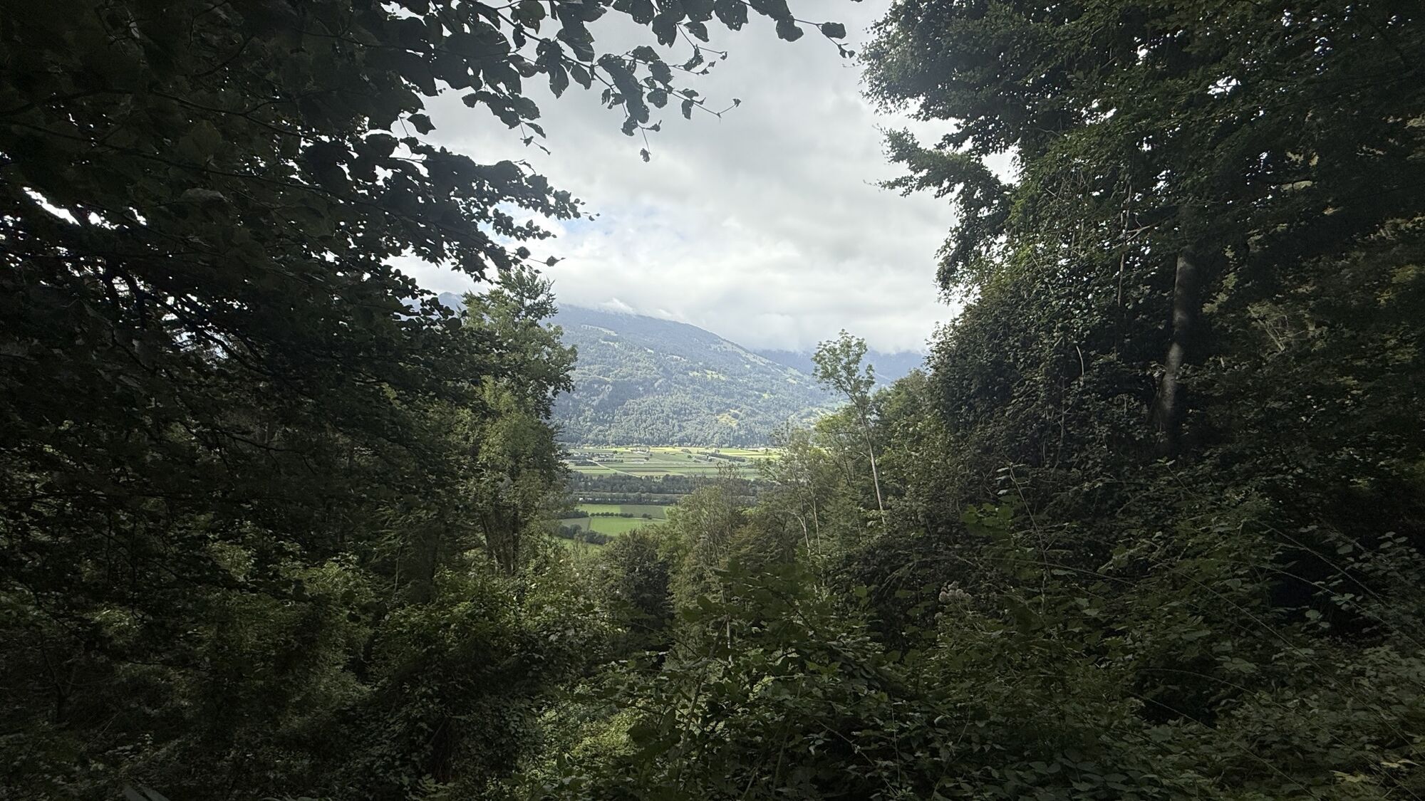
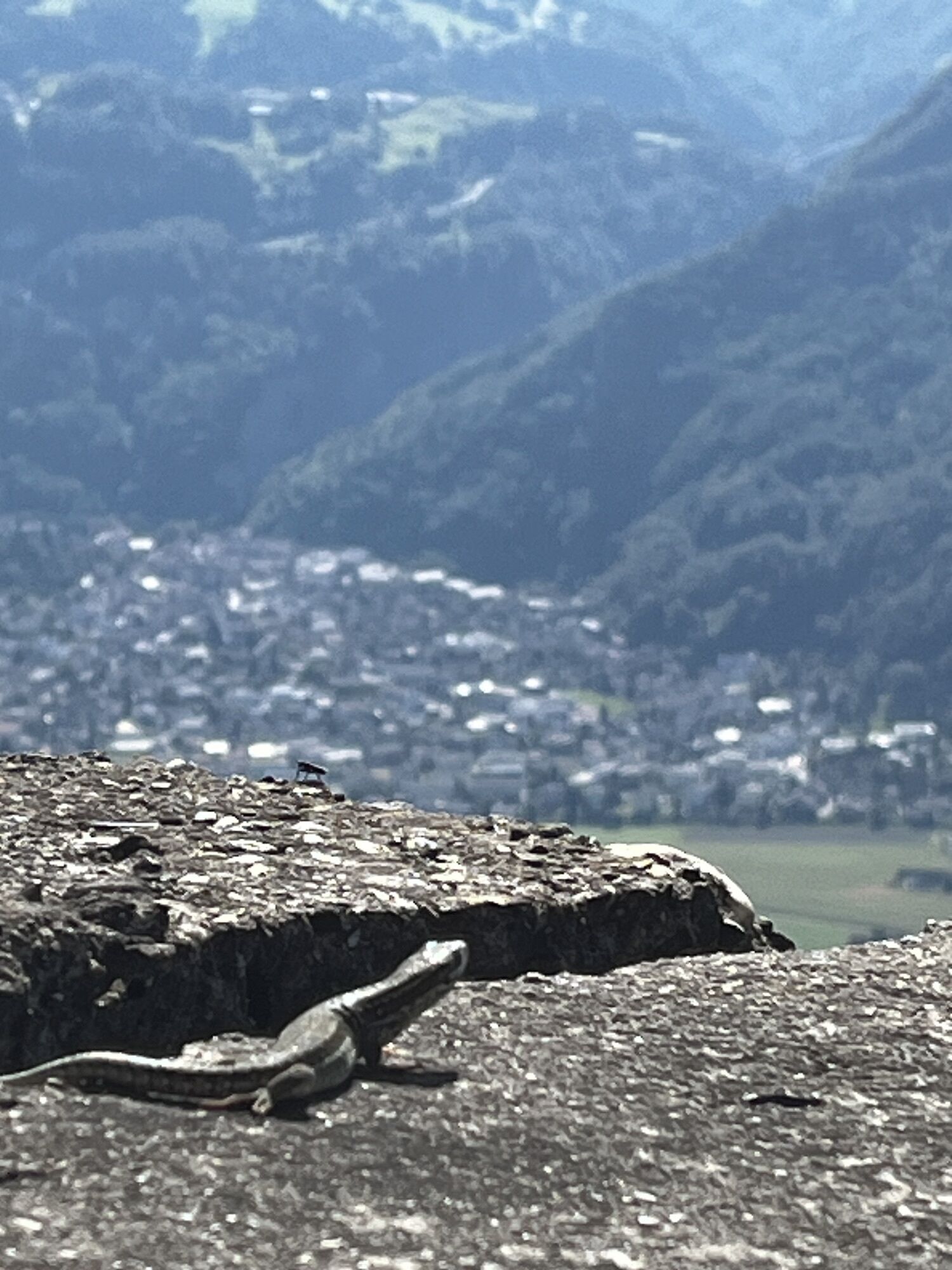
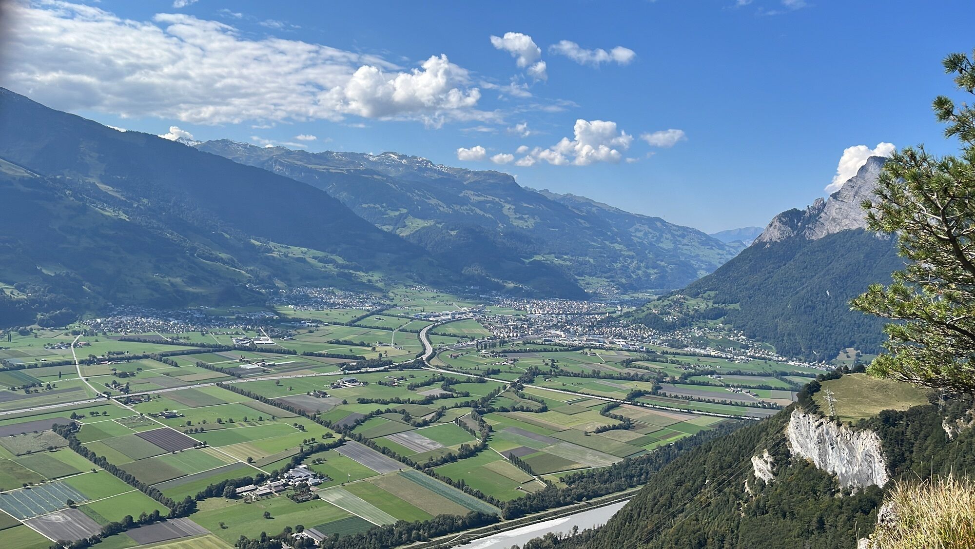
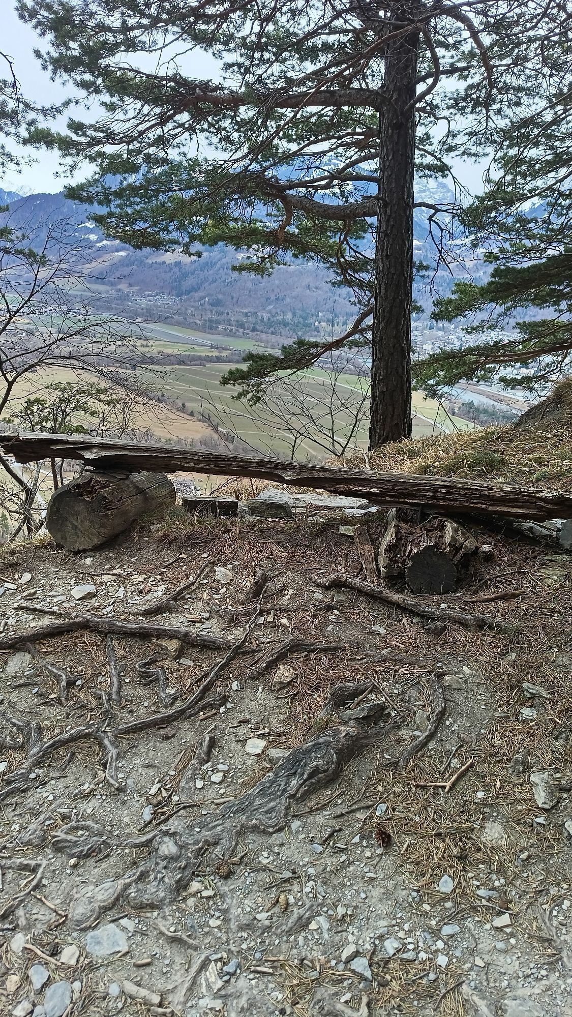
The path up to the Regitzer Spitz is entertaining and quickly winds its way up over many hairpin bends in the forest. Soon you can admire the view down to Fläsch. After almost half the altitude difference,...
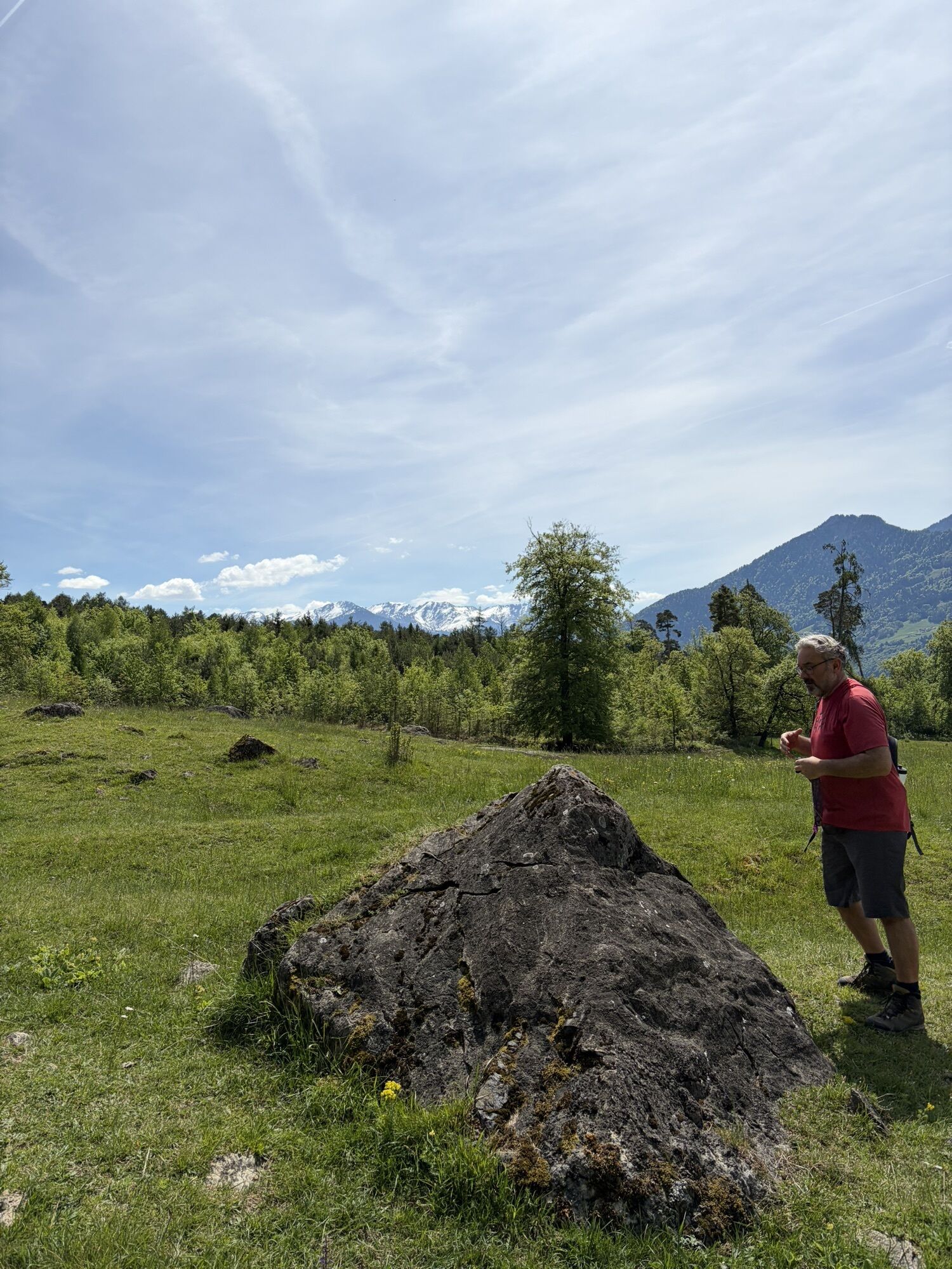
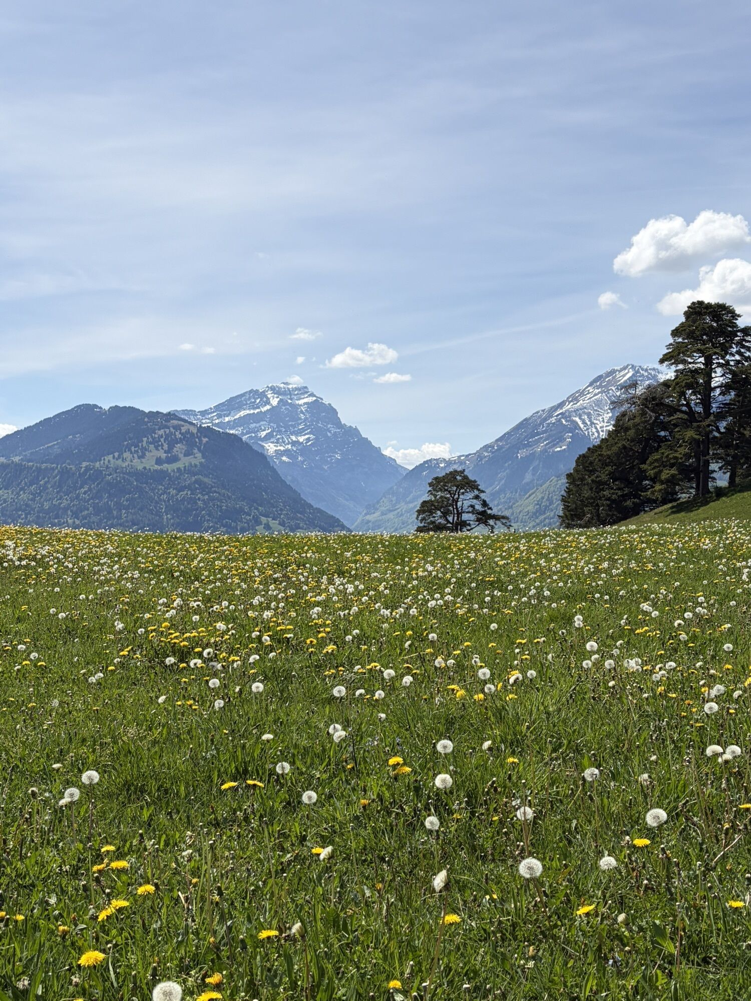
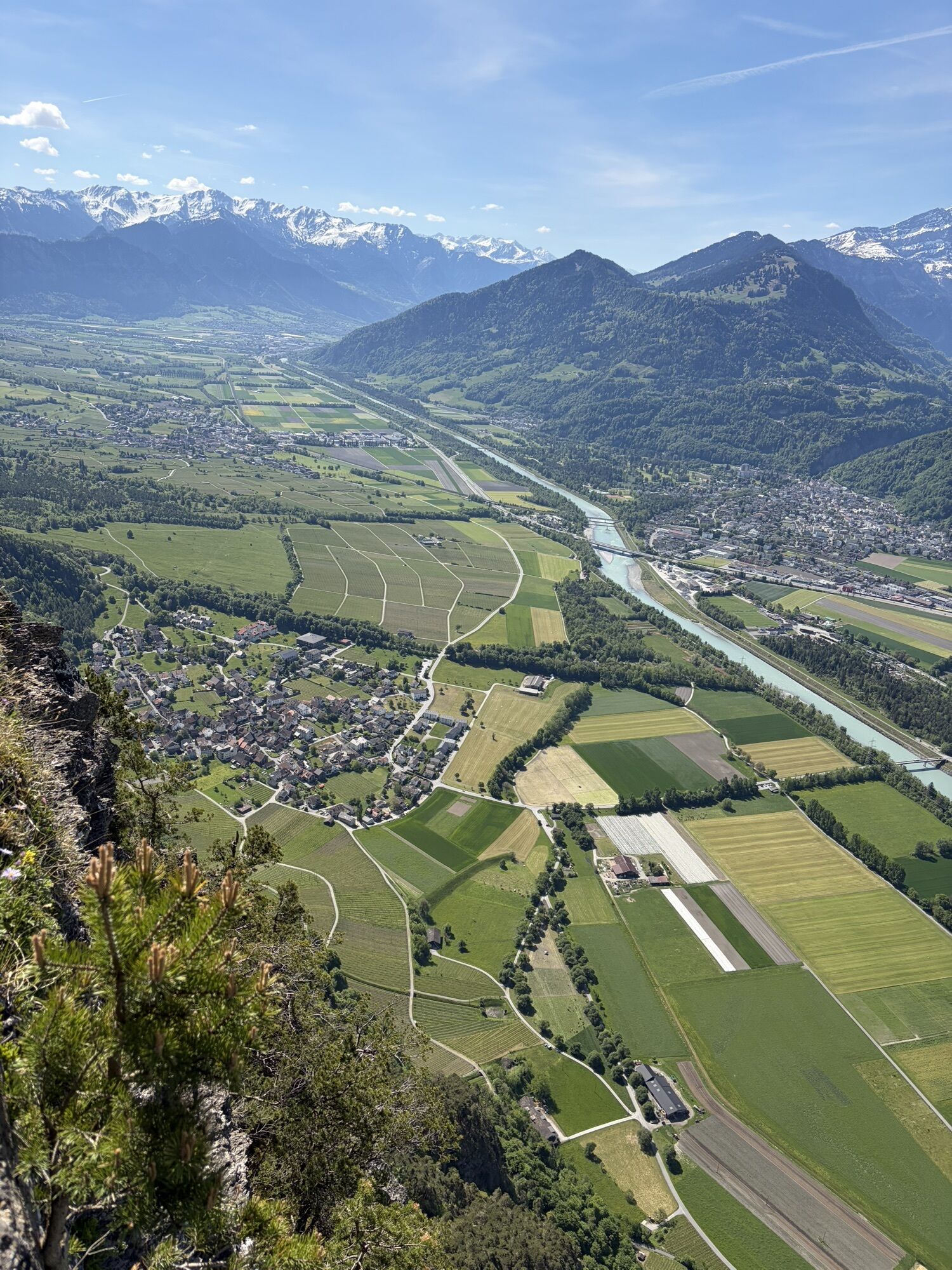
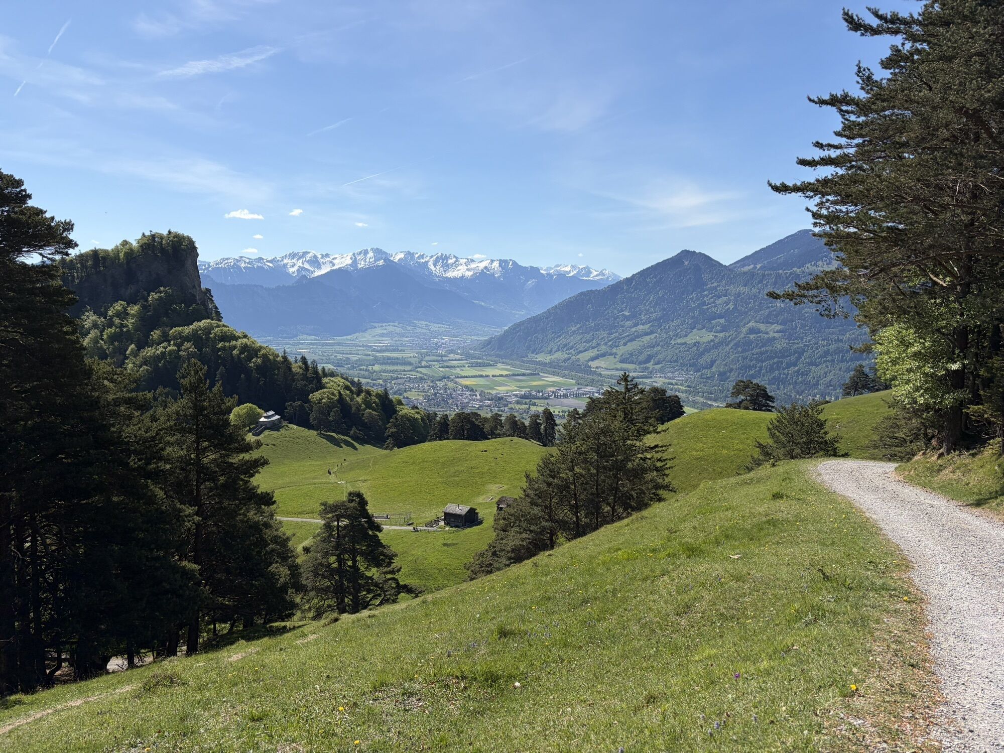
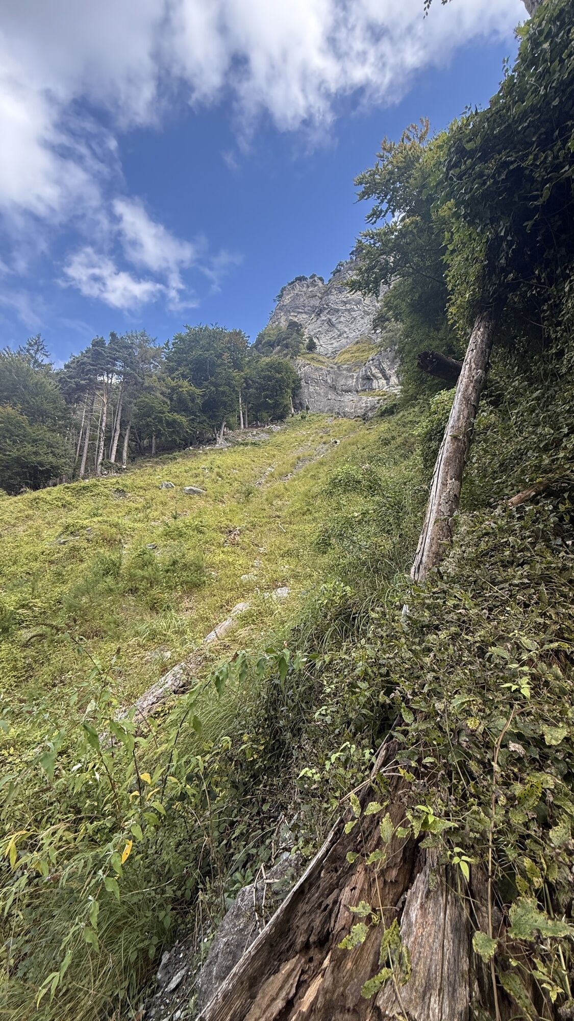
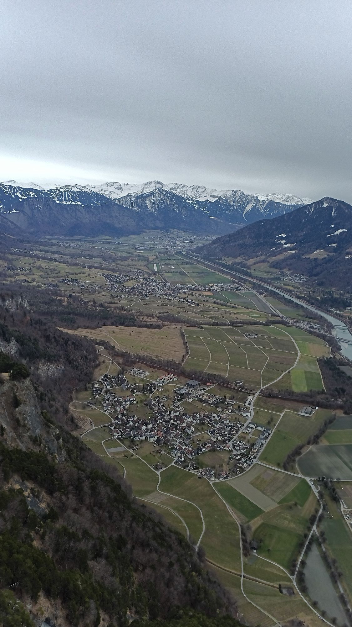
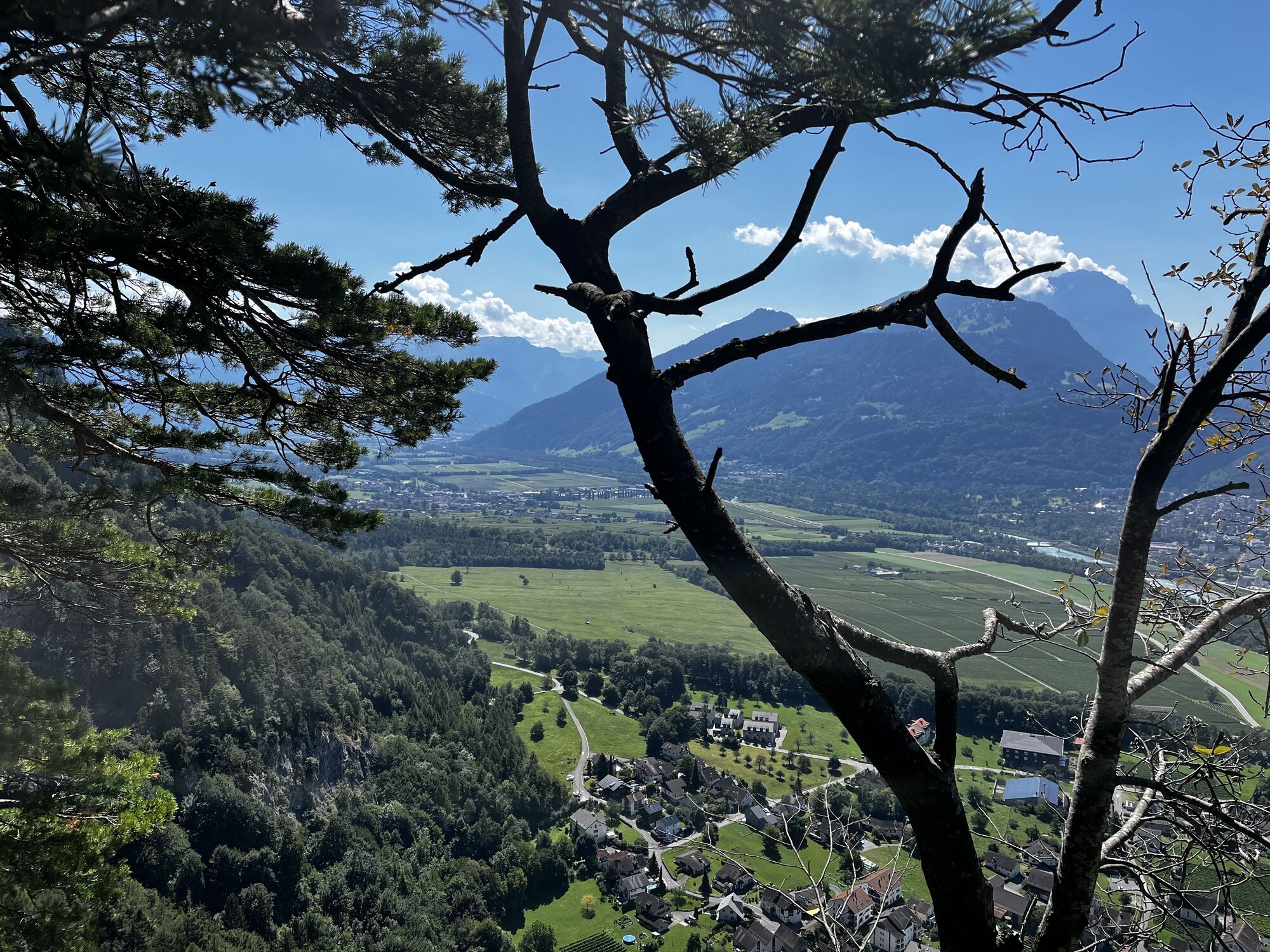
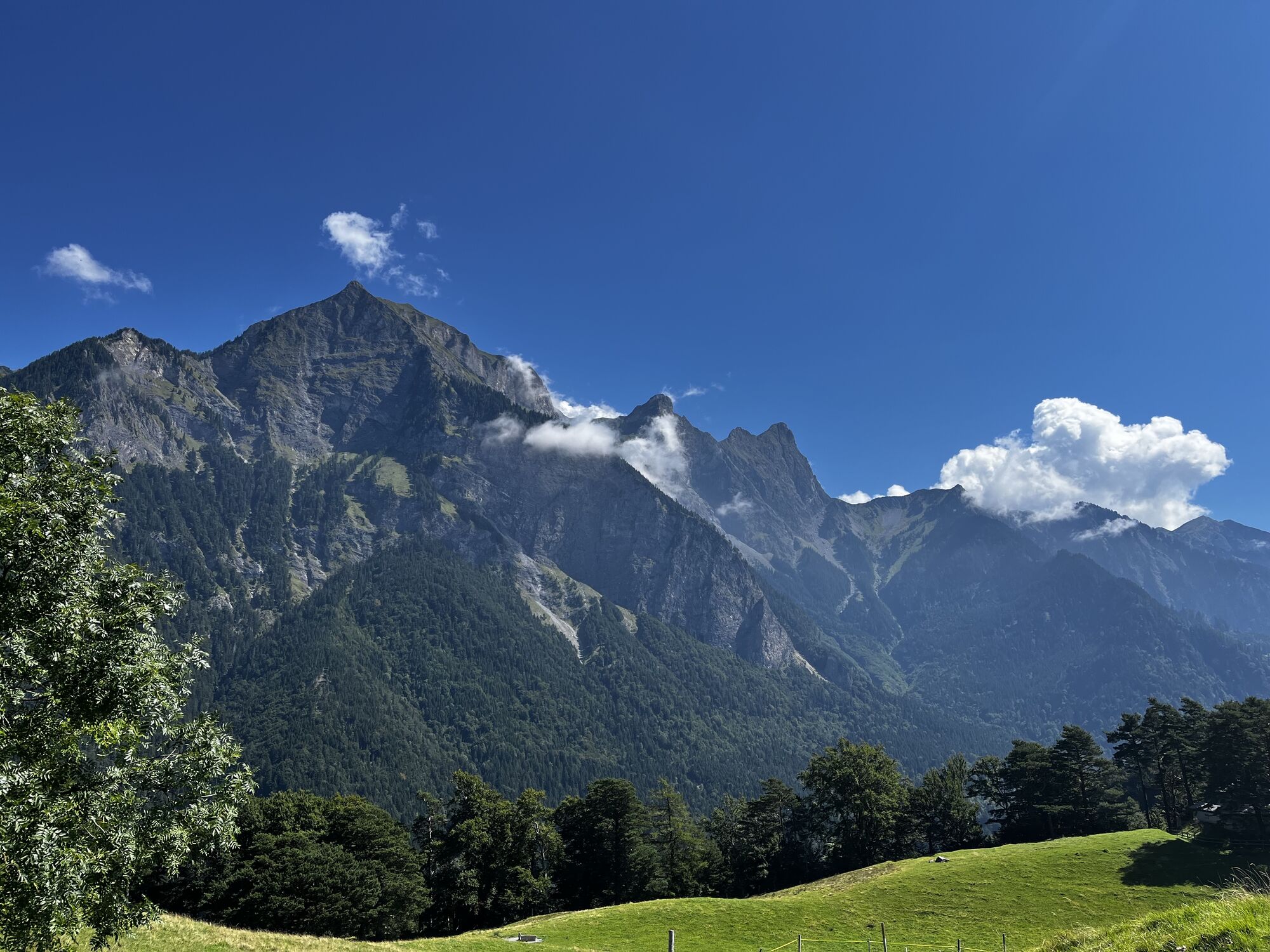
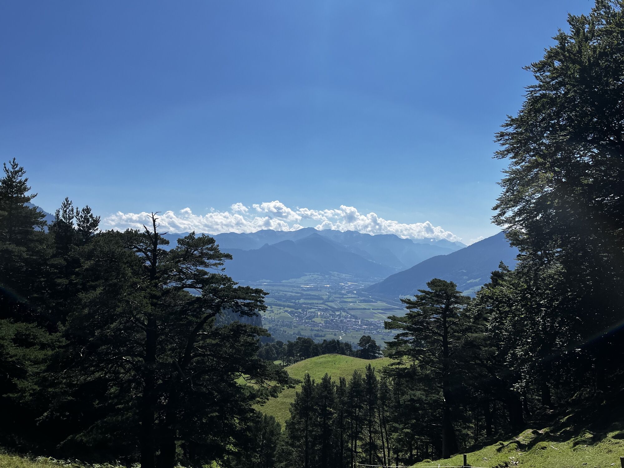
The path up to the Regitzer Spitz is entertaining and quickly winds its way up over many hairpin bends in the forest. Soon you can admire the view down to Fläsch. After almost half the altitude difference, the terrain in the Fläscher Alp area opens up considerably and the imposing peaks of the Falknis massif become visible. You walk past fortifications again and again before reaching the summit, which breaks off in a steep slope towards the Rhine Valley. From the summit plateau, the view opens up to the Rhine Valley, Bad Ragaz opposite with the Tamina Valley and the Pizol region and the vineyards of the Bündner Herrschaft. The descent is via the Persaxplatten nature reserve back to the starting point.

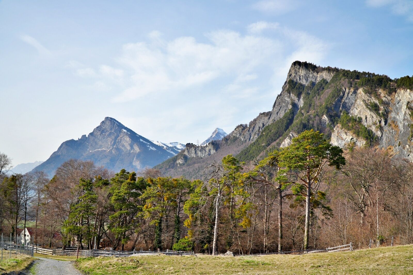
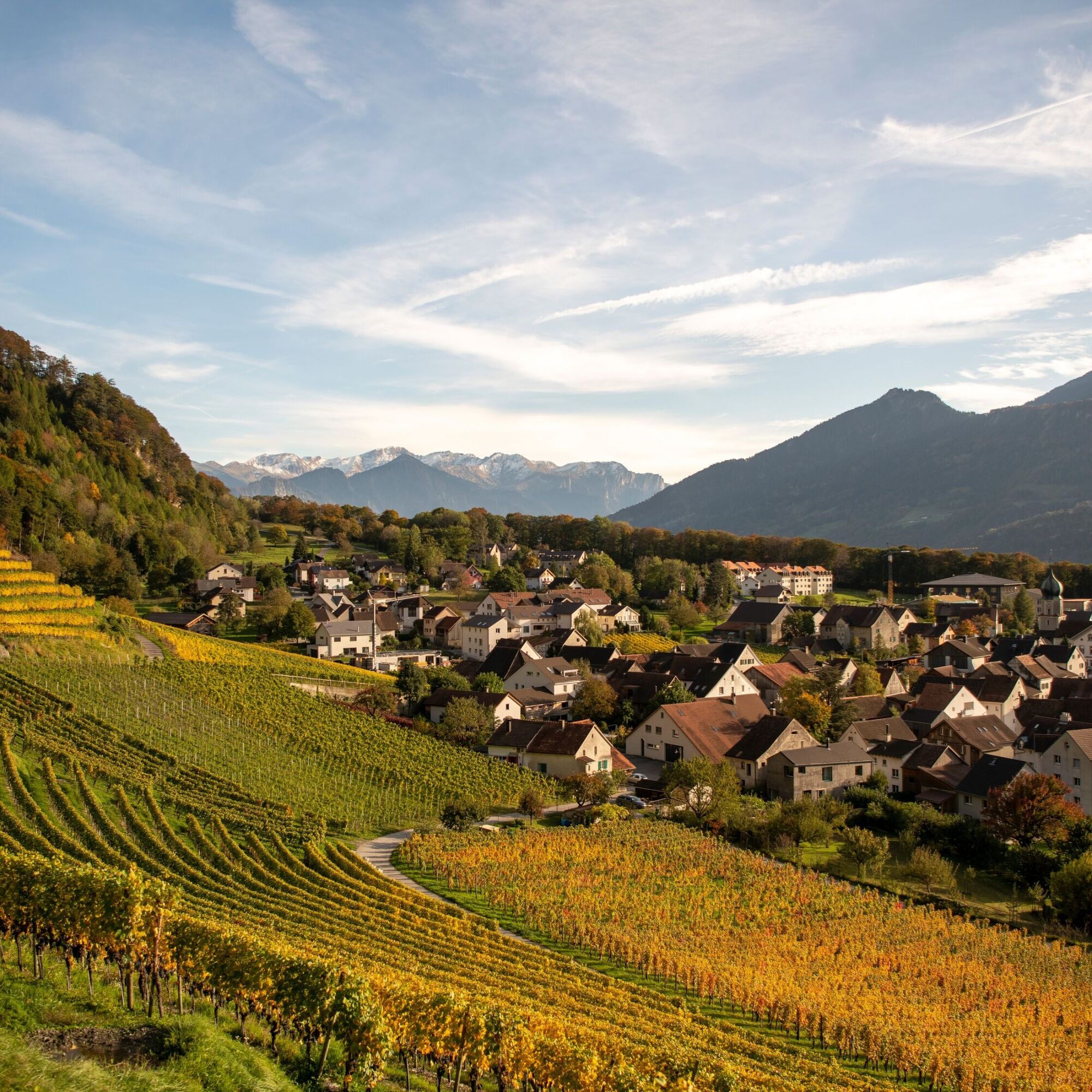
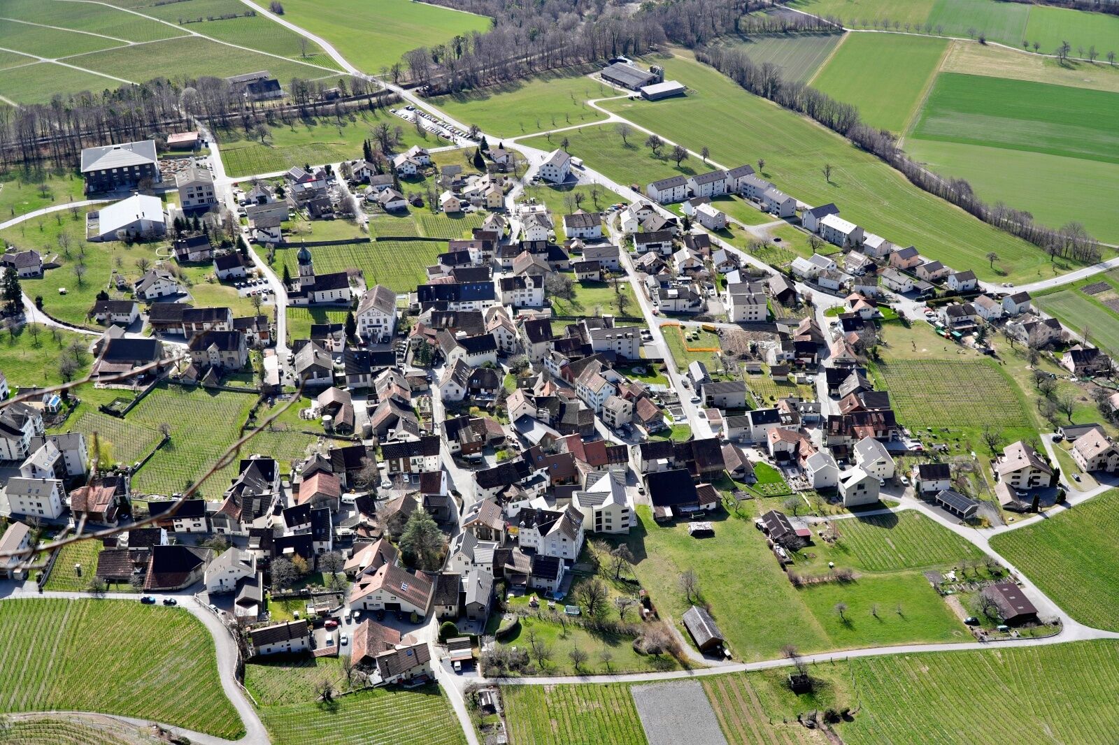
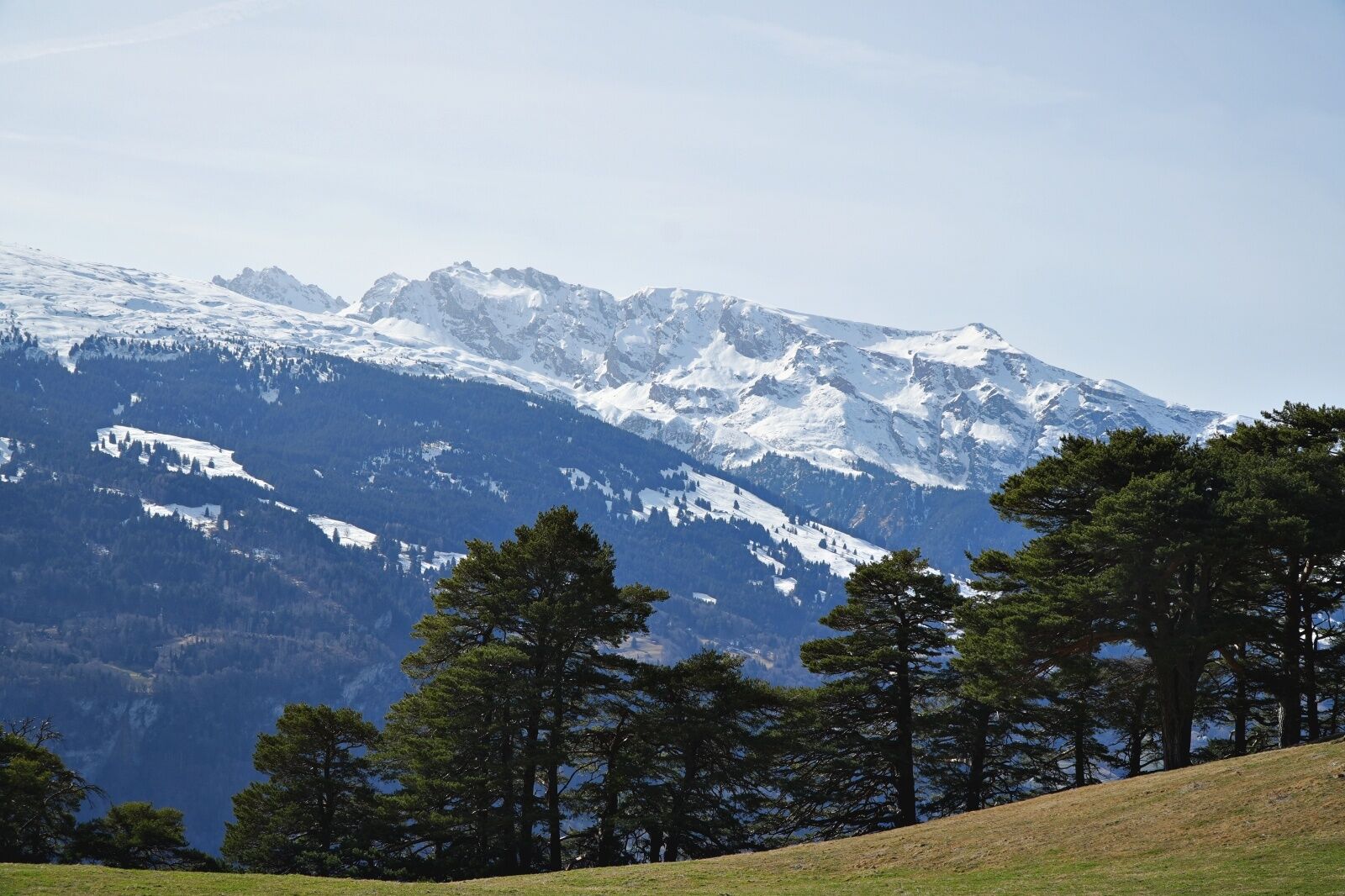
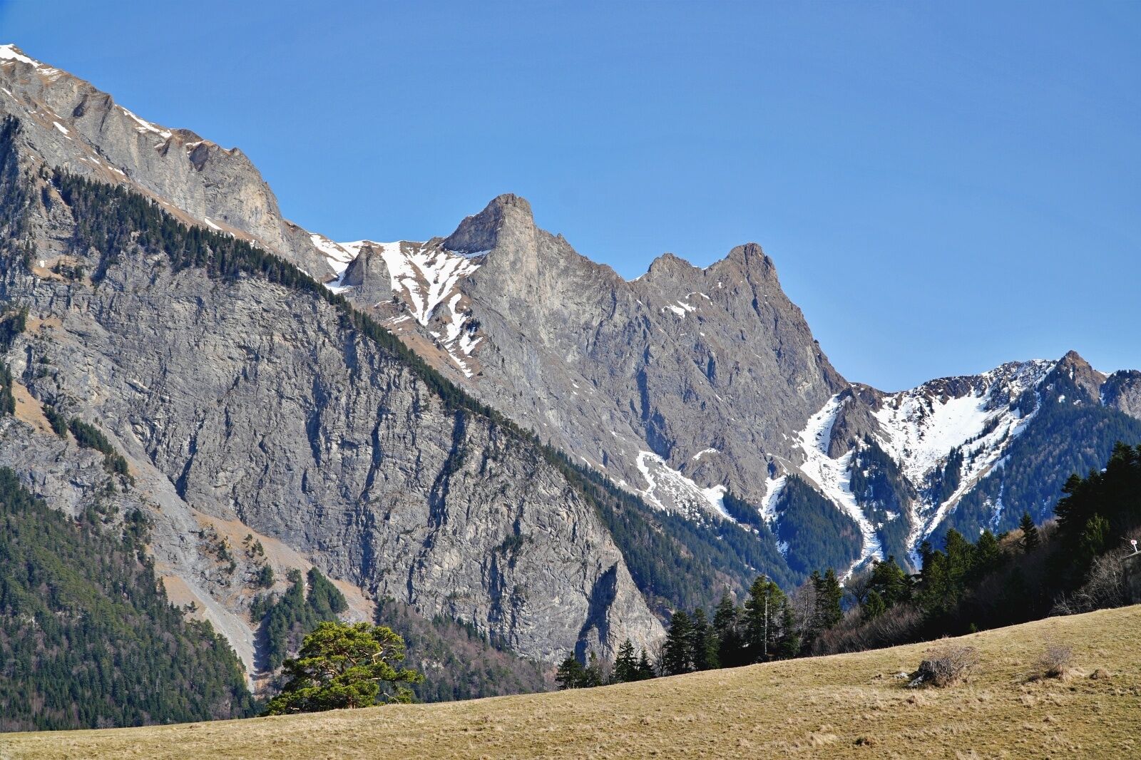
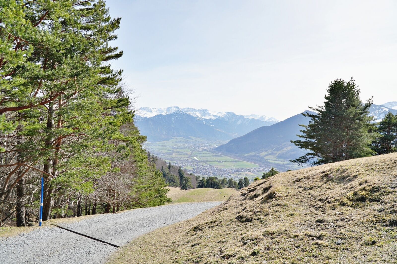
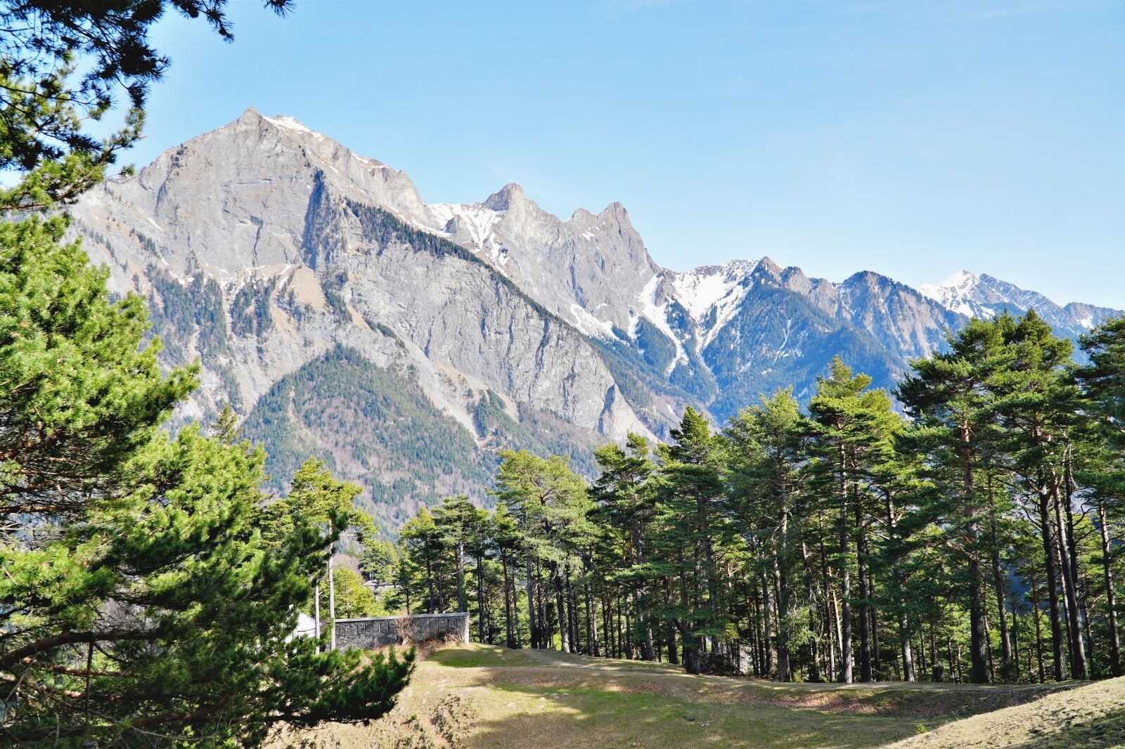
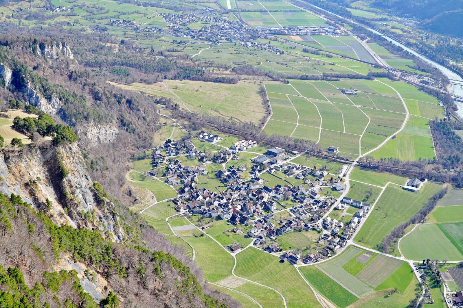
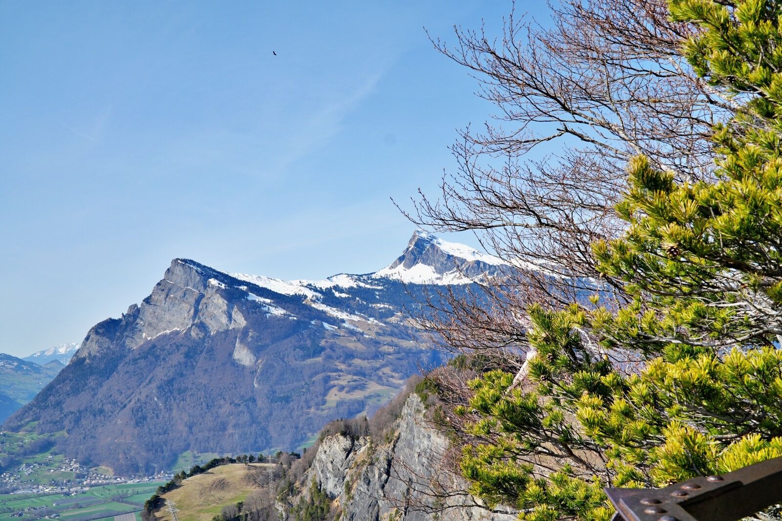

We start the tour in the wine village of Fläsch at the Oberdorf parking lot. From there, shortly after the start, the path leads up to the right and winds its way up in many hairpin bends to the open terrain of the Fläscher Alp. We continue up through the forest. The last section to the summit is on a gravel path before we reach the summit plateau. The first section of the way back is identical to the ascent. In the "Vorder Ochsenberg" area, the path branches off and leads around the Schnielskopf. We now hike through the Persaxplatte forest reserve, where there are 2 short ascents to tackle before the final descent along steep serpentines. Shortly before the end of the tour, we cross the Steigstrasse and then reach an open meadow area, which leads us back to the starting point.
Áno
Day hiking backpack (approx. 20 liters) with rain cover, sturdy and comfortable shoes, weather-appropriate and hard-wearing clothing in multiple layers, telescopic poles if necessary, sun and rain protection, provisions and drinking water, first aid kit, pocket knife, cell phone, headlamp if necessary, maps
The trail is also popular with mountain bikers.
Take the Bad Ragaz highway exit, then follow the main road in the direction of Fläsch. Pass the Bistro Fläsch and take Steigstrasse to the Oberdorf parking lot.
From Zurich or Chur to Bad Ragaz train station. Then take the post bus to Fläsch Dorf. From there it is a 15-minute walk (700 meters) to the starting point at the Oberdorf parking lot.
Public parking spaces (subject to charge) available. If there are no parking spaces available, you can use the Steigstrasse parking lot.
T2
Thanks to the warm foehn wind in the Bündner Herrschaft, the tour to the Regitzer Spitz is possible almost all year round.
Získajte prehľad
Vždy naživo na mieste s viac ako 9 500 webovými kamerami. bergfex Ako používateľ Pro si teraz môžete pozrieť príslušné webové kamery pre mnohé zájazdy v aplikácii zájazdy z. Môžete si tak priamo prezerať aktuálne podmienky.

Obľúbené výlety v okolí
-
4,6
To the summit cross of the Alpspitz
strednáTuristika 6,02 km -
3,7
Fürstin-Gina-Weg
Turistika 10,7 km -
4,7
5-Seen Wanderung am Pizol
svetloTuristika 10,1 km -
3,8
Sassweg - von Malbun zum Sass-Seelein
Turistika 4,14 km -
4,9
From Malbun to the Schönberg
strednáTuristika 12,4 km -
4,7
Tamina Gorge Circular Route
strednáTuristika 14,0 km -
4,7
Alvier
strednáTuristika 3,33 km -
4,6
Pizalun circular route
svetloTuristika 7,18 km -
4,7
Pizol - Batöni - Weisstannen
ťažkéTuristika 11,7 km -
4,7
Off to the Falknis
ťažkéTuristika 18,2 km
Turistika a stopovanie


Nenechajte si ujsť ponuky a inšpiráciu na ďalšiu dovolenku
Vaša e-mailová adresa bol pridaný do poštového zoznamu.





