


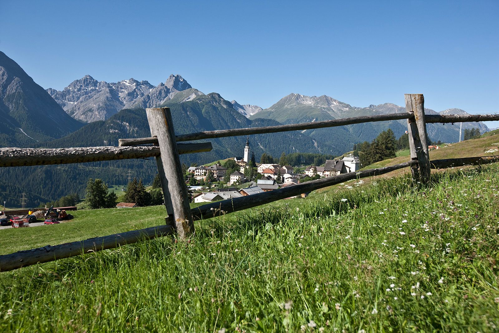
Prui – Piz Clünas – Alp Laret – Ftan
From Ftan, cumün, take the chairlift to Prui. From Prui you will remain above the timberline, and the path leads via Schlivera on the southern flank of Piz Clünas to Alp Clünas.
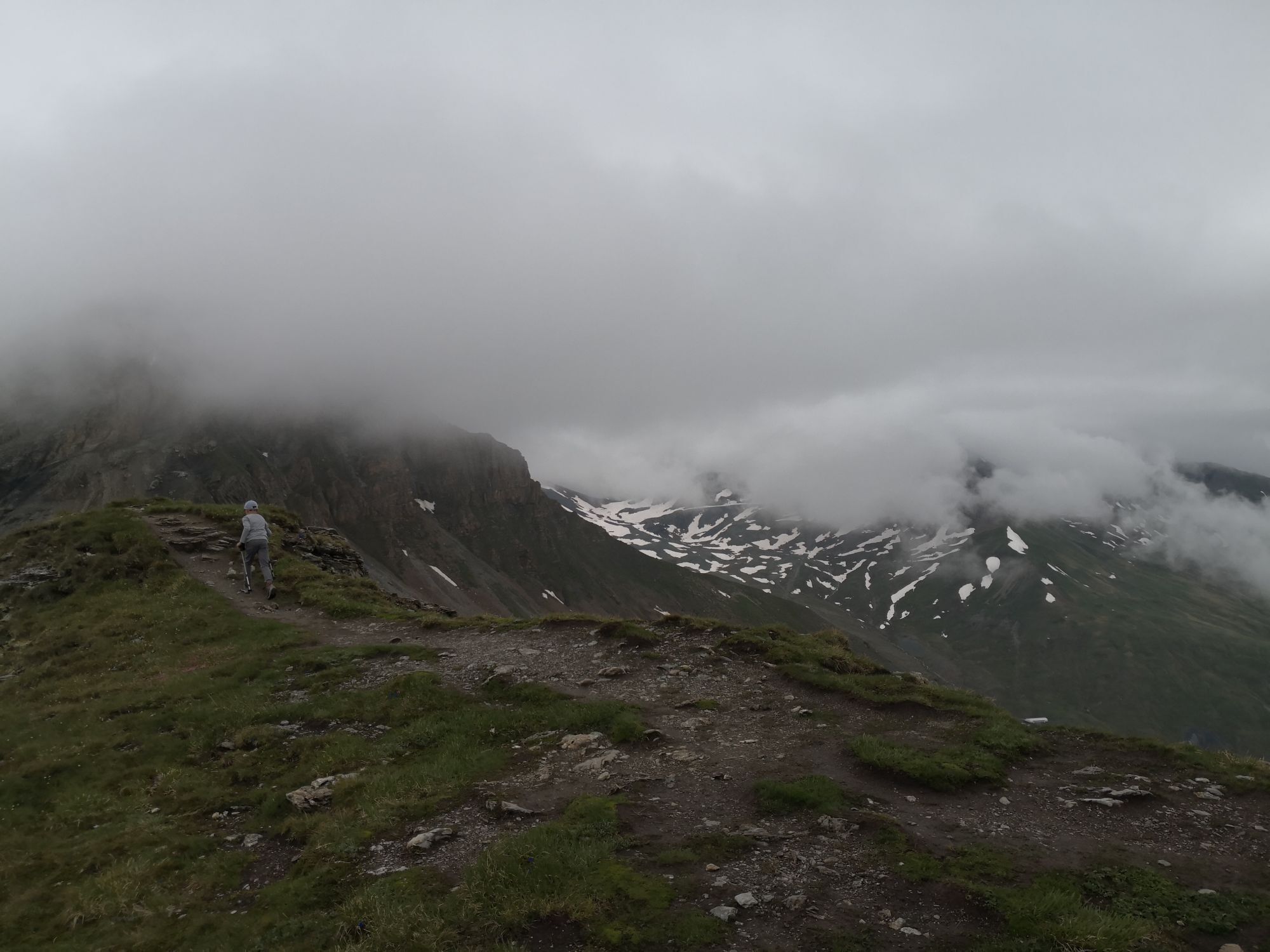
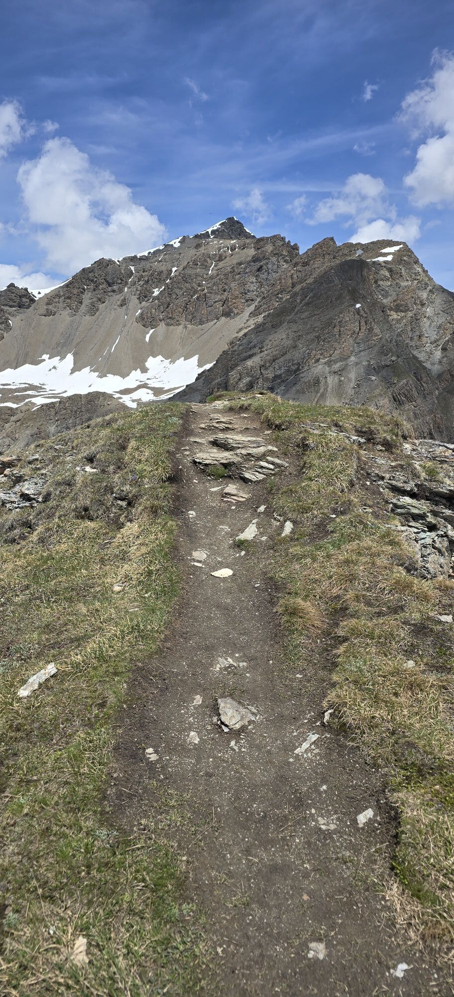
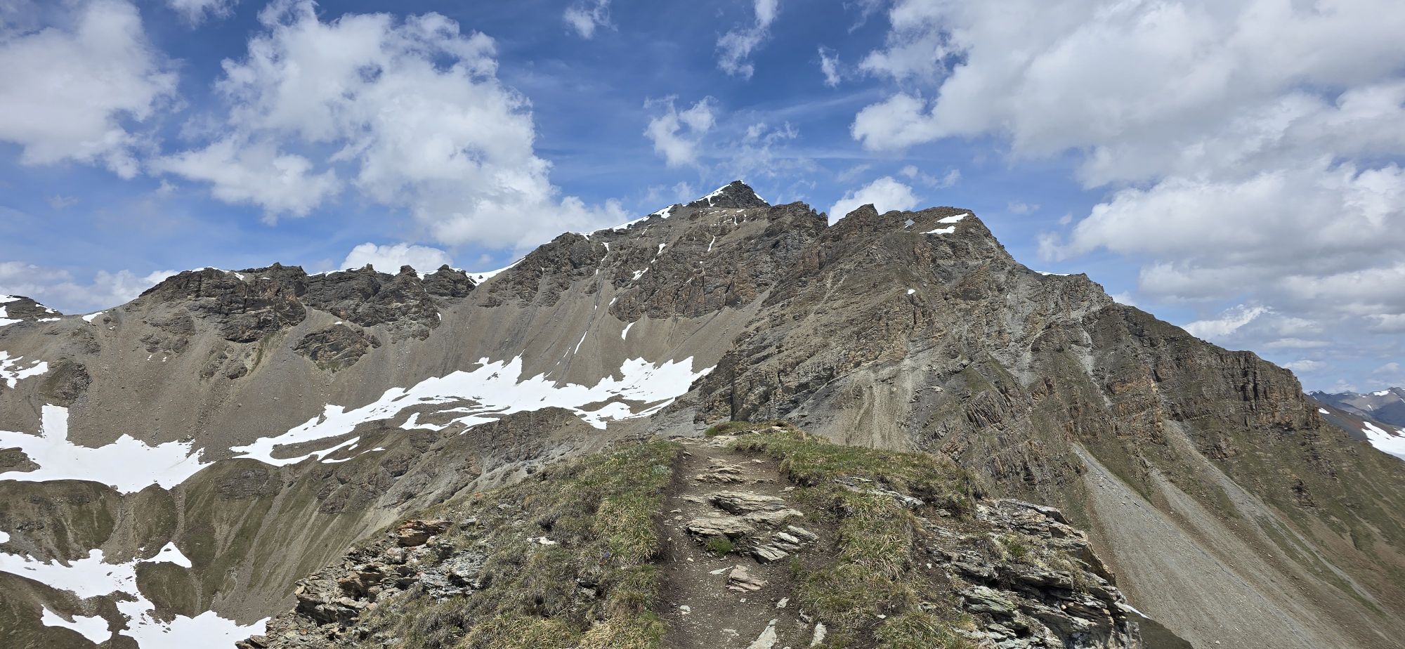
Here the summit ascent begins...
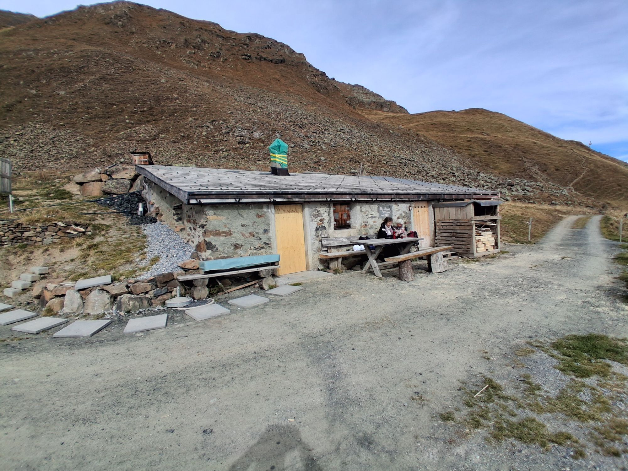
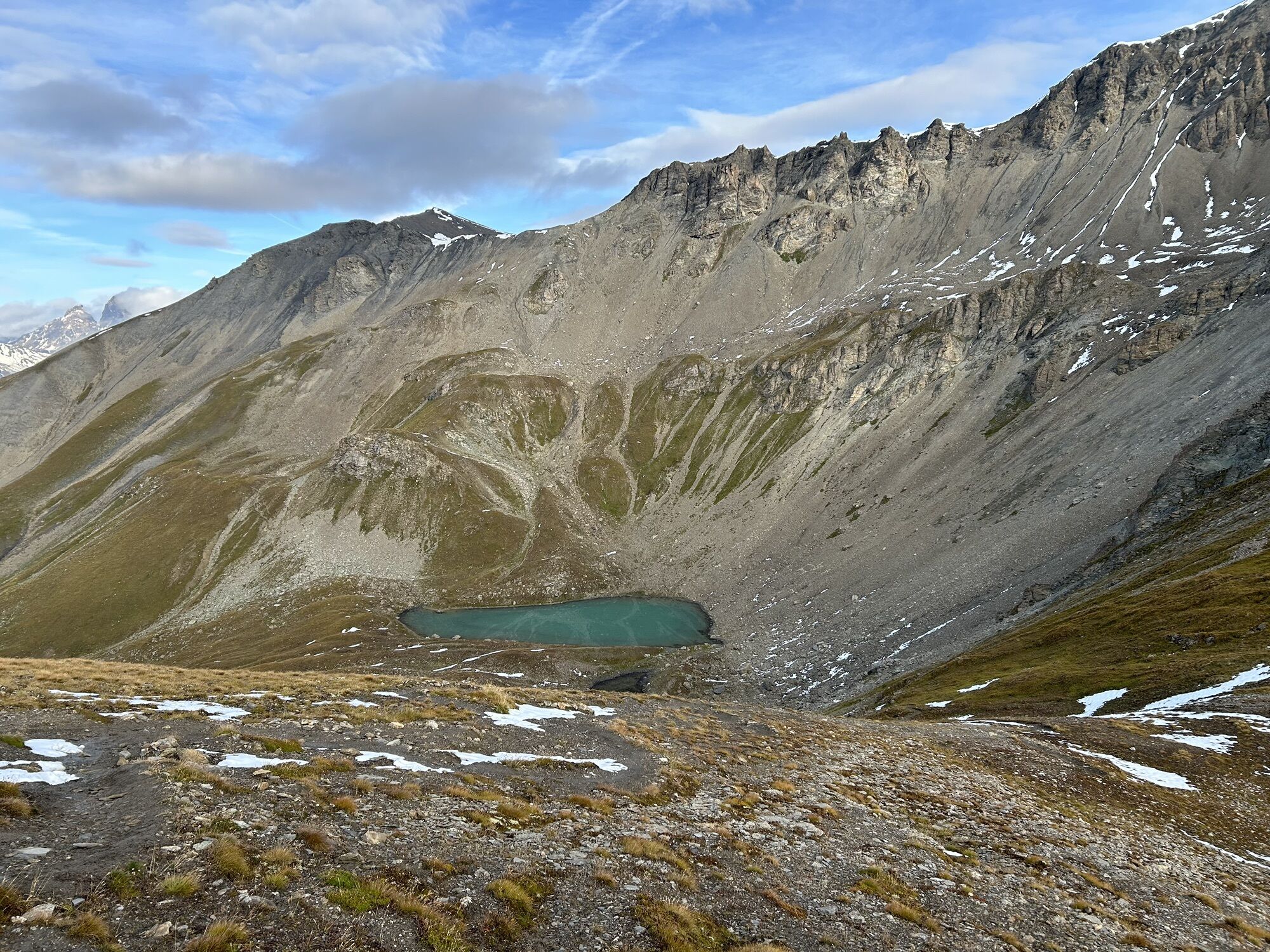
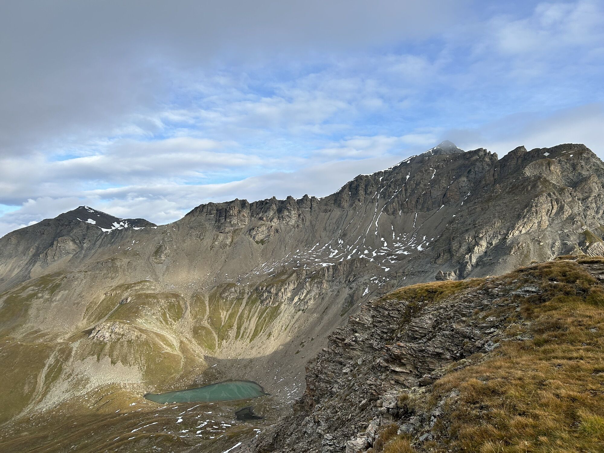
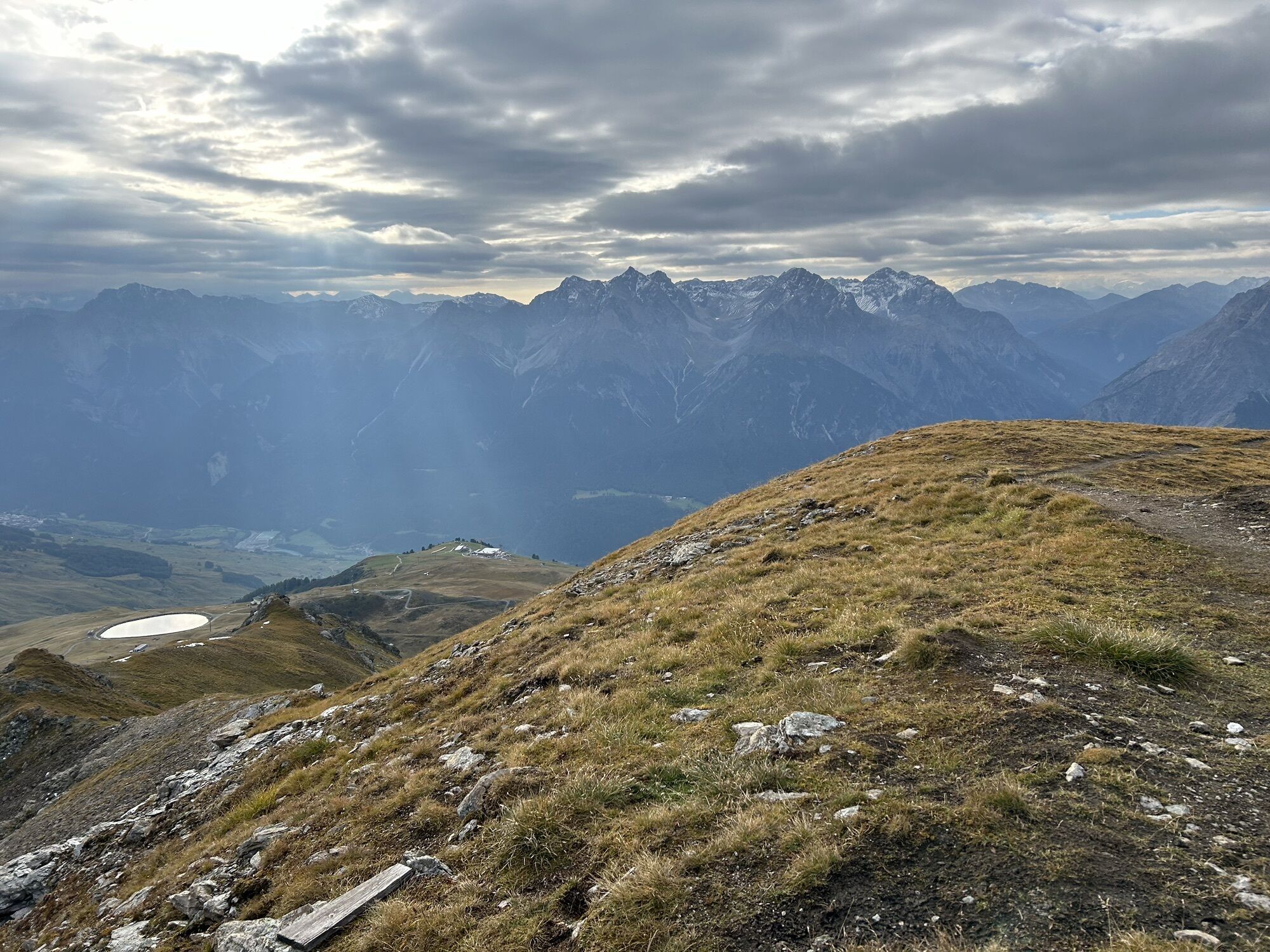
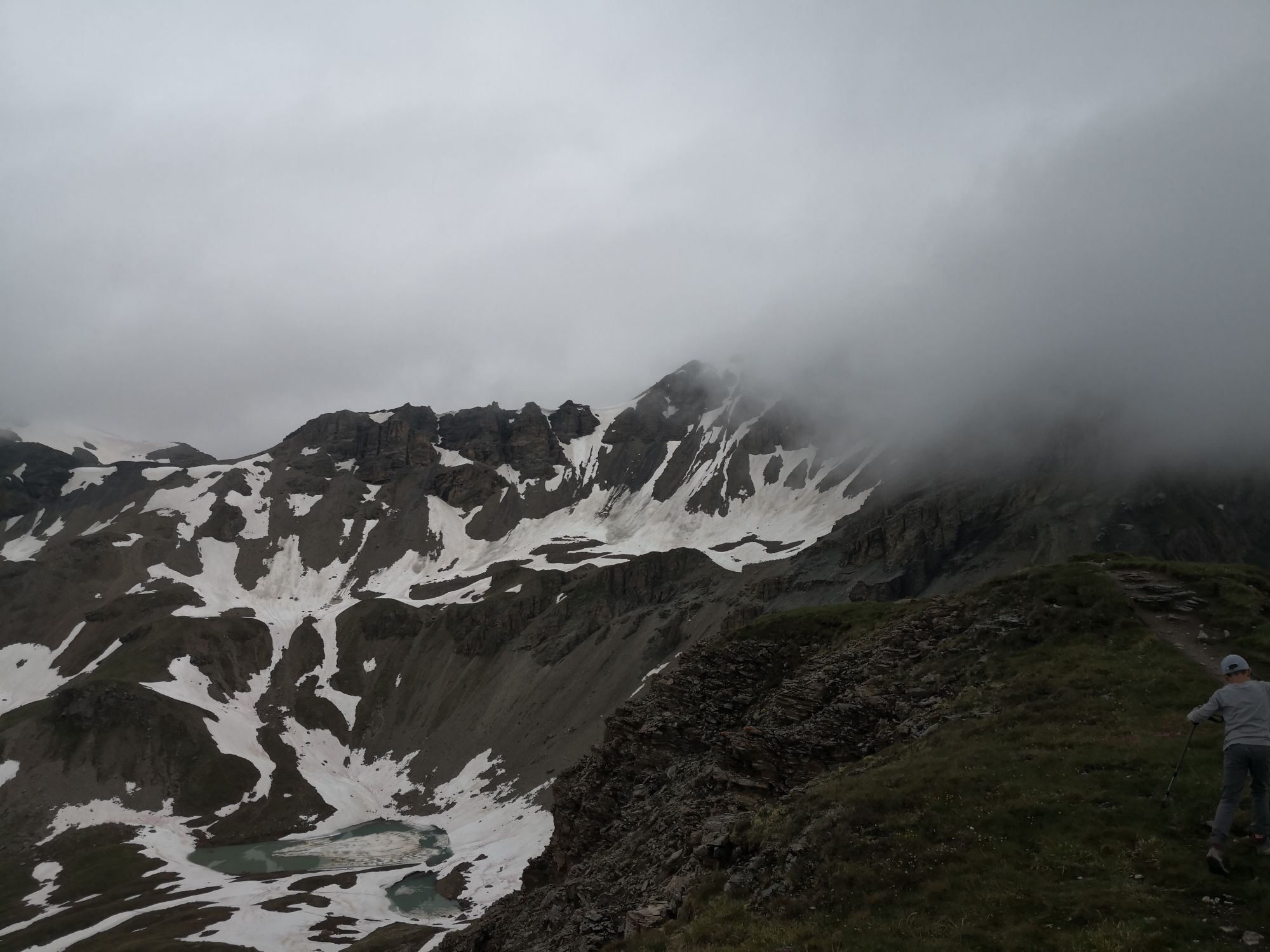
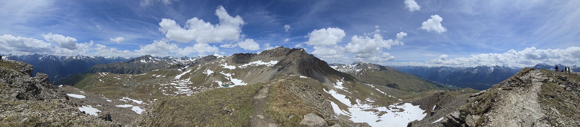
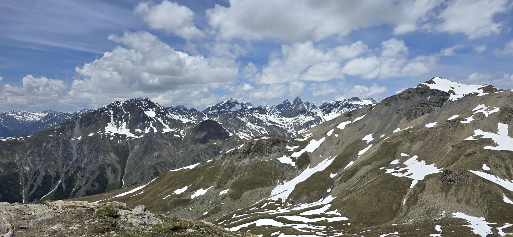
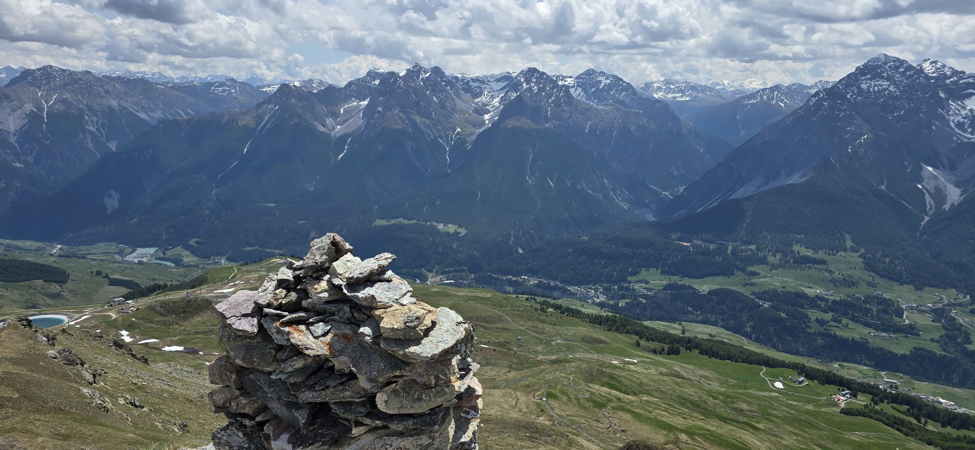
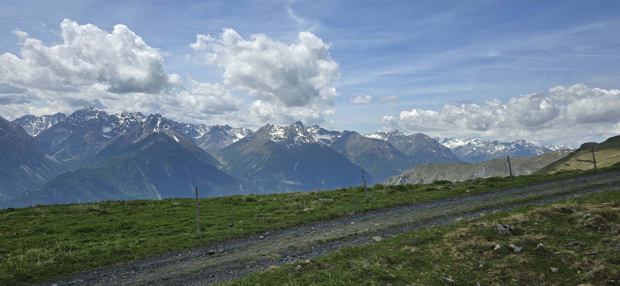
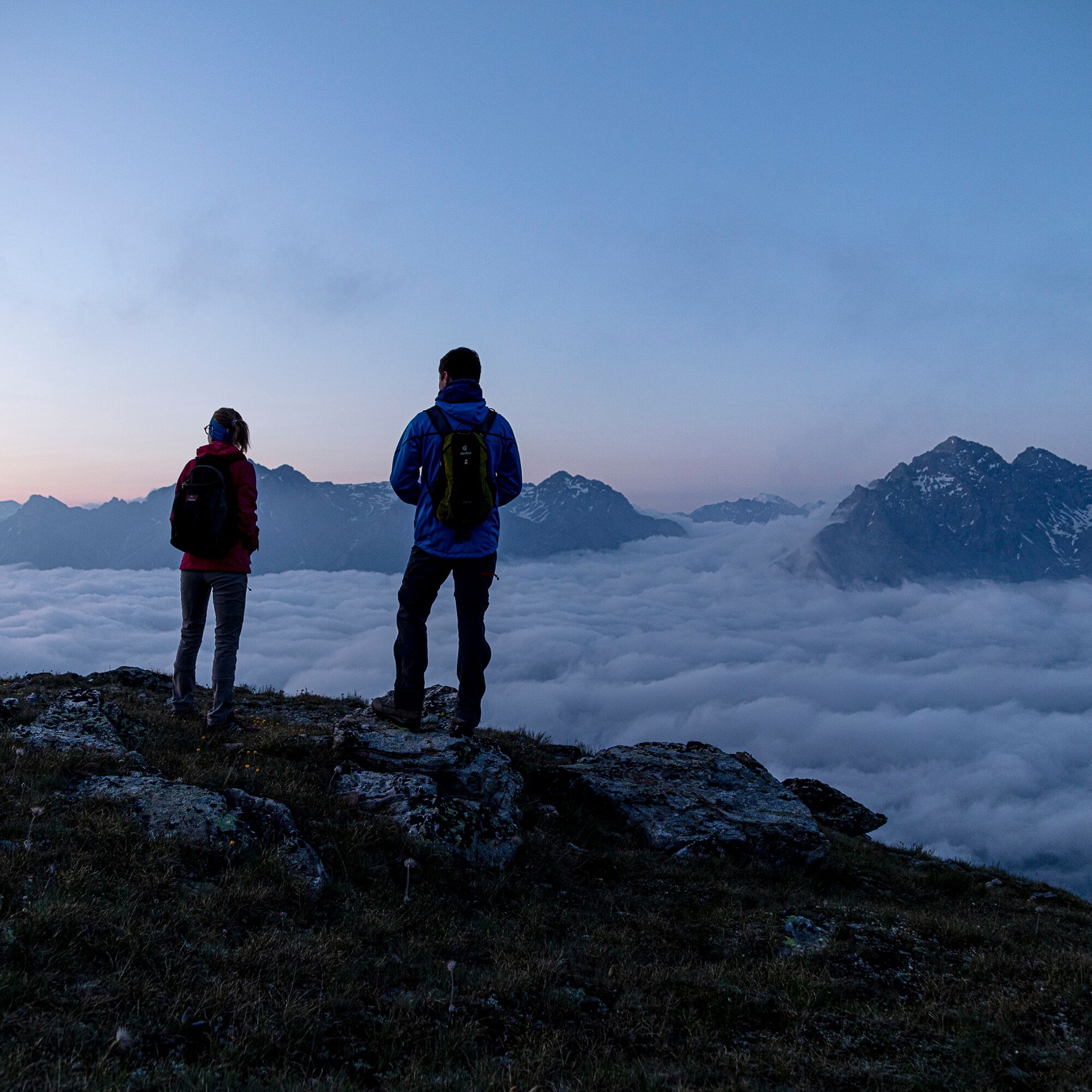
Here the summit ascent begins over the south ridge to Piz Clünas. The view back shows the majestic peaks of the Sesvenna (Ajüz, Lischana, San Jon) and Pisoc groups, toward the east the facilities of the winter sports area can be seen, and behind the saddle between Piz Nair and Champatsch the striking Piz Tschütta appears. After crossing the summit, you descend to Lai da Minschun cirque lake and then follow the signs toward Alp Laret to the west via Muot da l'Hom. Here we recommend taking a break at the restaurant on Alp Laret.
Below Alp Laret, before reaching Clüs, turn left, leave the forest road and descend through the forest toward Ftan Grond. The descent from Alp Laret can alternatively be made via Prui followed by a chairlift ride to Ftan.
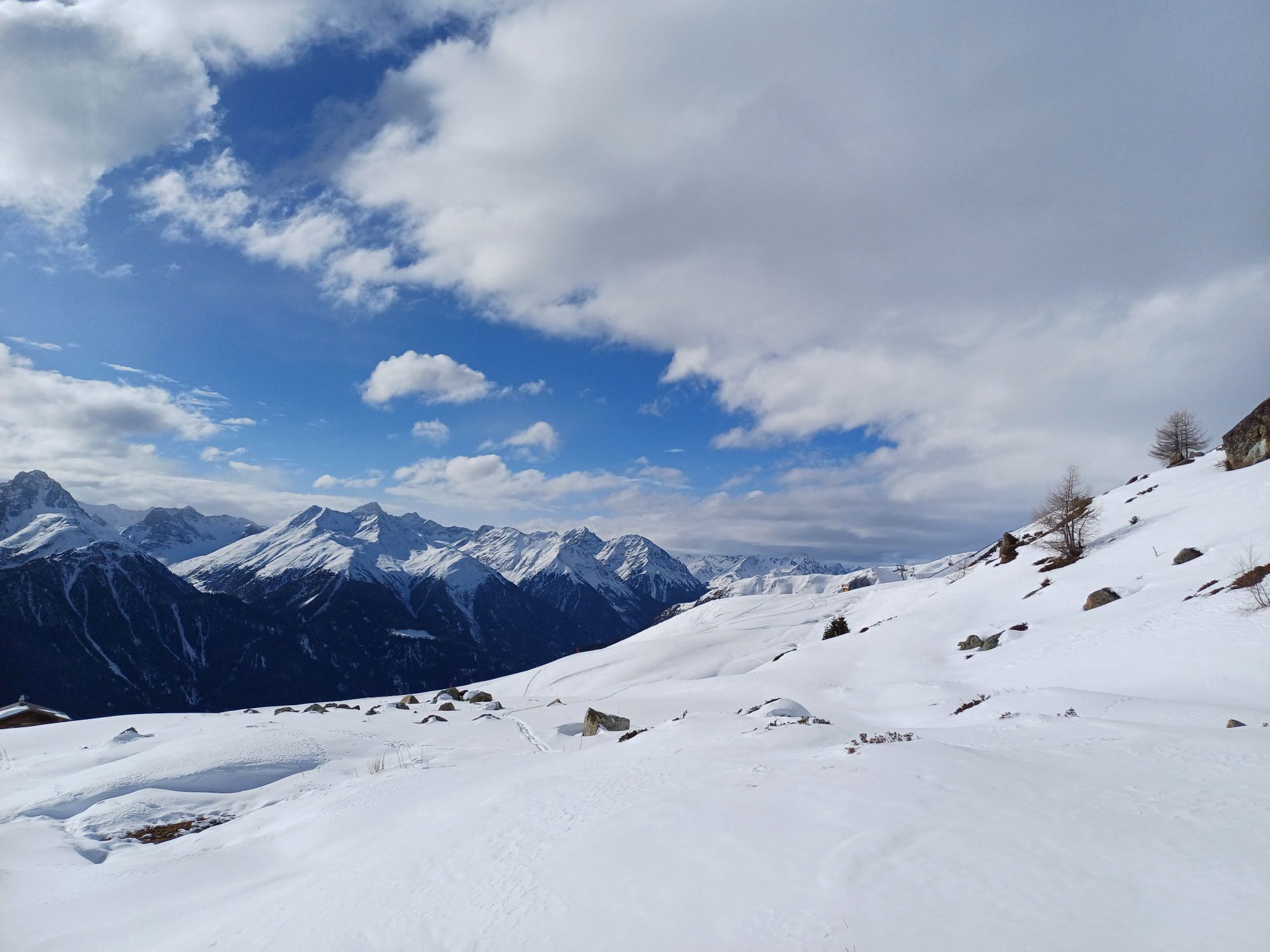
Alternatives: The ascent from Ftan to Prui can also be done on foot (about 300 meters of altitude difference) Alternatively, you can start the hike in Scuol, take the cable car to Motta Naluns and after a one and a half hour ascent you will reach Alp Clünas. There is also the possibility of doing the tour the other way round and to descend from Alp Clünas to the top station of the cable car Motta Naluns. From here you can take the gondola lift or the scooters, which are available for hire on site, back to Scuol.


Here begins the ascent to the summit via the south ridge to Piz Clünas
After the summit traverse, descend to the cirque lake Lai da Minschun
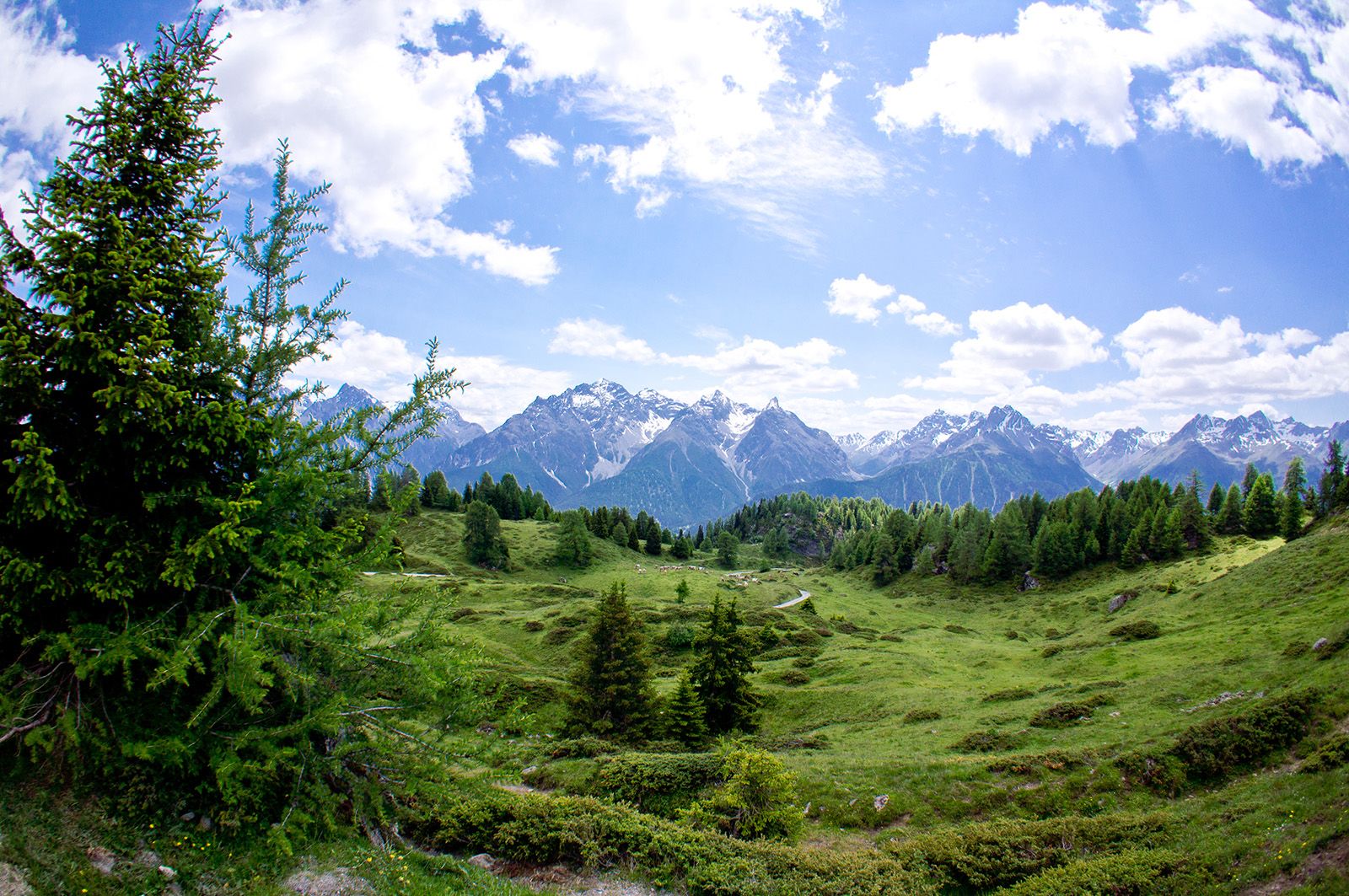
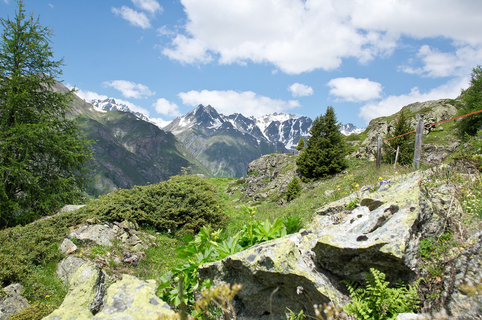
Continue westwards over the Muot da l'Hom
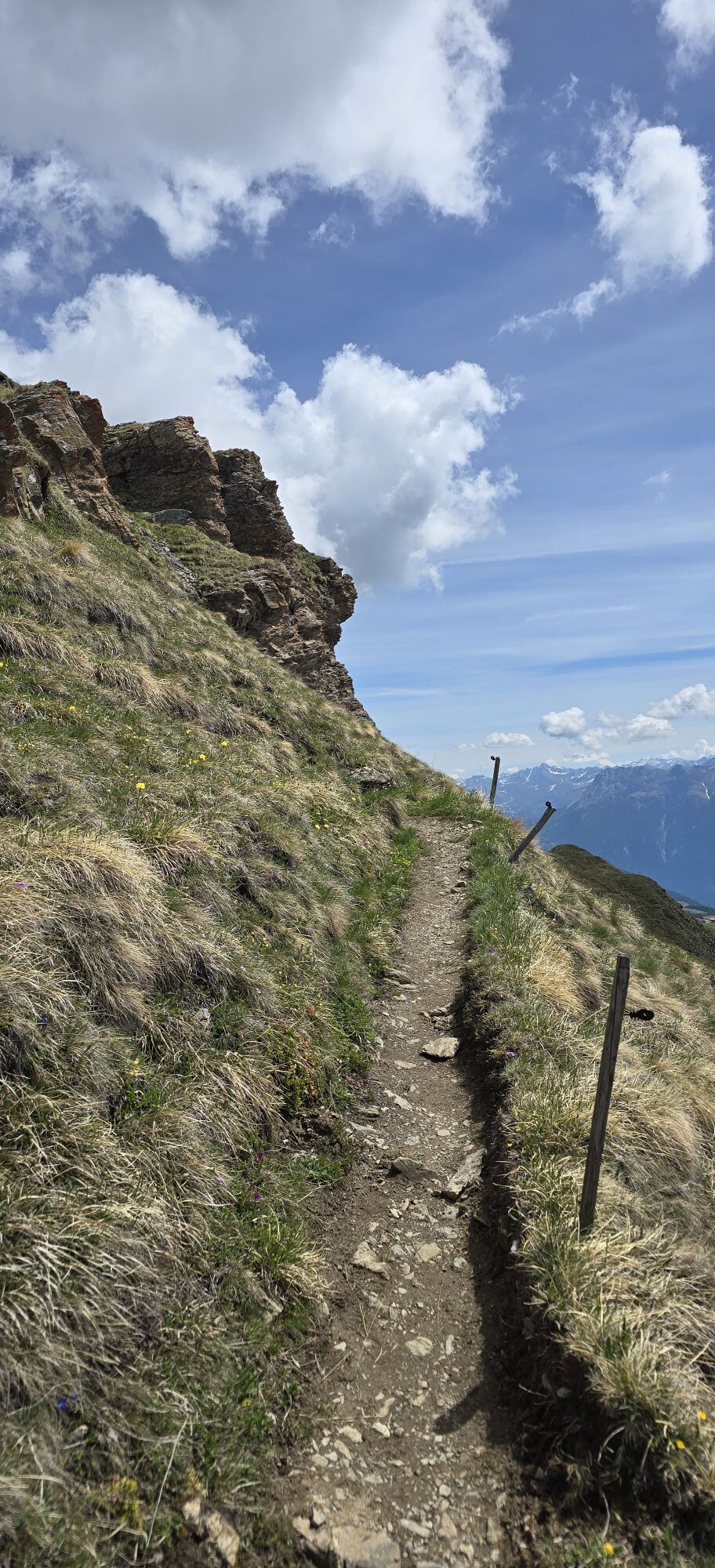
Follow the signs to Alp Laret Below Alp Laret turn left before Clüs
Descent to Ftan Grond
Alternatively, start the hike in Scuol, take the cable car to Motta Naluns. After an approximately one-and-a-half-hour ascent, you will also reach Alp Clünas. There is also the option of doing the tour in reverse and descending after Alp Clünas to the top station of the "Motta Naluns" gondola lift. From here you can take the gondola lift or the scooters available for hire on site to Scuol.
Áno
Áno
Áno
Good shoes, rain and sun protection, water bottle, first aid kit.
Emergency call:
144 Emergency call, first aid 1414 Mountain rescue REGA 112 International emergency callFtan is situated on a sunny terrace and can be reached in 10 minutes by car from Ardez or Scuol on the Engadine road H27.
By Rhaetian Railway (from Chur, Prättigau or Oberengadin) hourly to Scuol-Tarasp, direct PostBus connection to Ftan, cumün
By PostBus (from Tarasp or Martina) hourly to Scuol-Tarasp, direct PostBus connection to Ftan, cumün
By chairlift from the Ftan valley station to Prui
Paid parking in Ftan Grond and Ftan Pitschen.
Obľúbené výlety v okolí
-
4,9
Hiking trail Piz Buin - view
strednáTuristika 14,4 km -
4,7
Jamtal lodge
strednáTuristika 19,6 km -
5,0
Großer Piz Buin (3.312m), Normalweg 2019 über Ochsentaler Gletscher
ťažkéVysoké turné 24,1 km -
4,8
National park: Zernez – Munt Baselgia – Macun lakes – Alp Zeznina – Lavin
ťažkéTuristika 22,9 km -
2,0
Bielerhöhe - Vermuntkopf - Bielerhöhe
strednáTuristika 17 km -
4,5
Tarasp Fontana – Sparsels – Lai Nair (circular route)
svetloTuristika 7,67 km -
4,5
Ski tour Hennekopf (2,704 m)
strednáSkitour 4,17 km -
Ascent of Hohes Rad and stop at the Wiesbadener Hut
ťažkéTuristika 15,8 km -
4,6
Gaschurn, Wiesbadner Hütte
Mountainbike 6,82 km -
5,0
San Jon – Chamonna Lischana (return)
strednáTuristika 12,0 km

Turistika a stopovanie


Nenechajte si ujsť ponuky a inšpiráciu na ďalšiu dovolenku
Vaša e-mailová adresa bol pridaný do poštového zoznamu.