



Zerfreila - Canaltal - Canalalp - Zerfreila

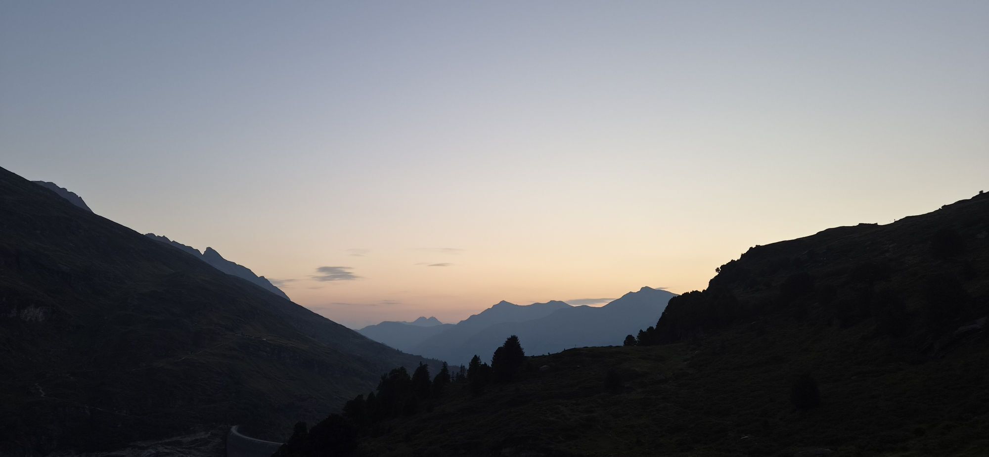
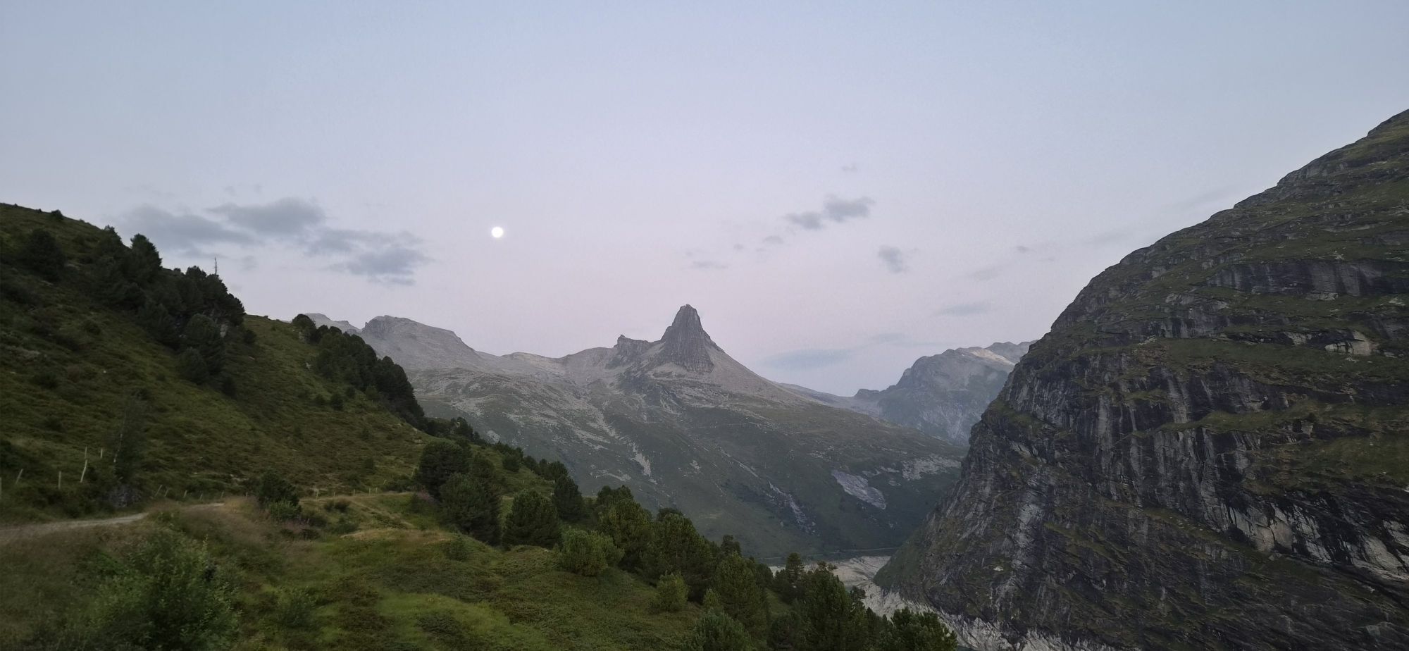
Beautiful half-day hike in a secluded high valley amidst spectacular mountain scenery. Sheep, large boulders, and the constant rushing of water accompany your way.



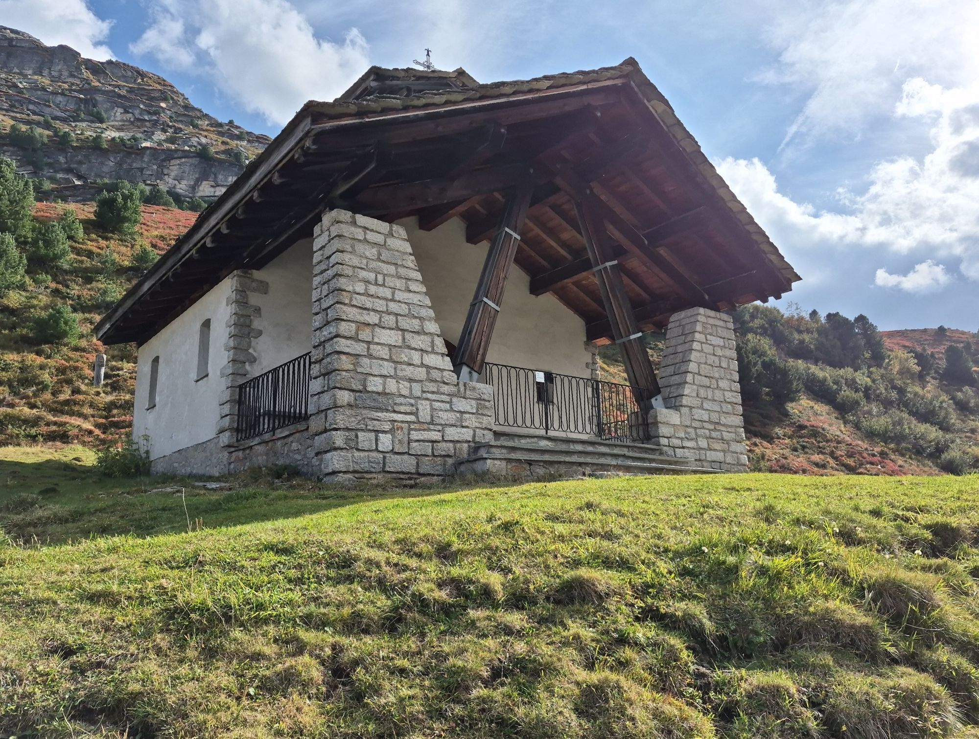
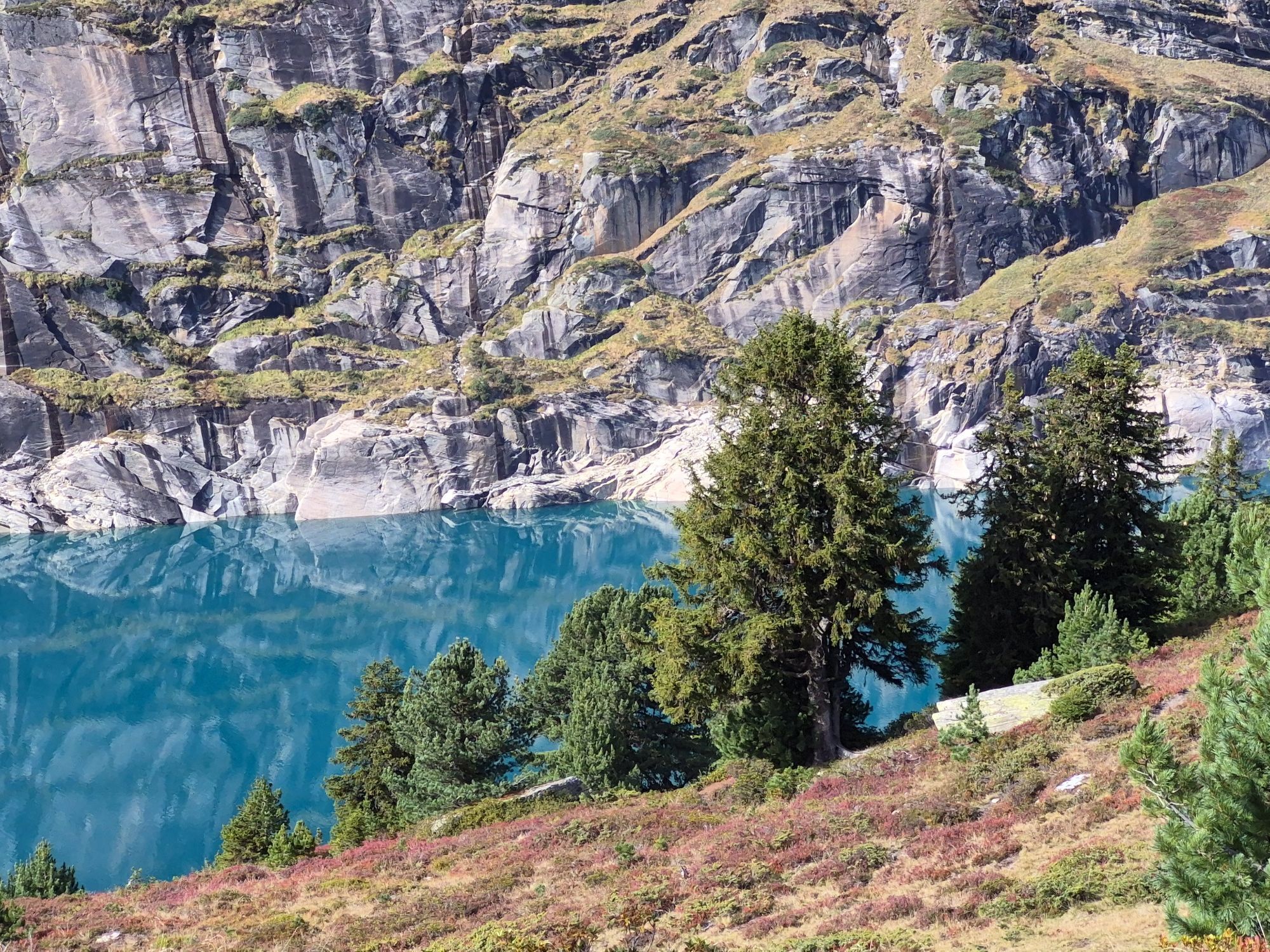
From the parking lot at the Zervreila restaurant. Do not cross the dam. Continue towards the Zerfreila chapel. Slight descent towards the Canal Bridge. The emerald green Zerfreila Lake is always in view. Do not cross the Canal Bridge. Before the bridge, turn left and follow the path along the Canal stream above the creek to the Canalalp (1976 m). Return the same way to Zerfreila.
Áno
Solid, rainproof, warm clothing. Sturdy mountain or trekking shoes. Gloves, hat, sun protection. Hiking poles, food and drinks from the backpack, first aid kit, topographic map, altimeter, compass, mobile phone, flashlight.
Surefootedness required.
On this hike, you must expect free-roaming livestock guardian dogs protecting the sheep.
Bringing companion dogs is discouraged.
Detailed behavior information: http://www.herdenschutzschweiz.ch/
Link to the interactive map showing areas where you must expect livestock guardian dogs.
http://www.protectiondestroupeaux.ch/faq-was-tun/um-zu-wissen-wo-es-schutzhunde-hat/
Also at the start of the hike, expect cows with calves. More information on behavior around cows with calves:
Tips for encounters with cows with calves | Graubünden Holidays (graubuenden.ch)
From Chur via Ilanz to Vals. By postal bus or private car. From Vals onwards to Zerfreila, also by postal bus or private car.
By postal bus or private car to Zerfreila.
Parking lot in front of the Zervreila restaurant or in the parking lot at the Zerfreila chapel.
At Canalbeach, at the end of the lake towards Canaltal, listen to the water and enjoy the peace.

Obľúbené výlety v okolí
-
5,0
Panorama route
svetloTuristika 5,39 km -
5,0
2-day hike Greina high plateau
ťažkéTuristika 15,5 km -
3,3
3-lake hike
strednáTuristika 12,8 km -
Giro della Greina
Turistika 50,6 km -
5,0
Winter hike Gadastatt - Frunt - Zerfreila (Panorama trail)
svetloZimná turistika 5,36 km -
4,5
Fanellhorn 3124 m
ťažkéVysoké turné 6,86 km -
5,0
Southeast Switzerland Hiking Day Vals 2017
svetloTuristika 11,8 km -
4,8
Tibet Suspension Bridge Route Riasc
svetloTuristika 6,12 km -
Furggelti 2712m
ťažkéTuristika 18,7 km -
3,5
Places of Magic - Lumbrein
strednáTuristika 8,74 km
Turistika a stopovanie


Nenechajte si ujsť ponuky a inšpiráciu na ďalšiu dovolenku
Vaša e-mailová adresa bol pridaný do poštového zoznamu.


