






Via Engiadina Stage 10: Prui – Sent [SwitzerlandMobil No. 87]
Before the start of the first section, the first decision is already pending: Those who want to do a few extra meters of elevation can start the hike in Ftan and walk via Alp Laret to the Prui mountain...
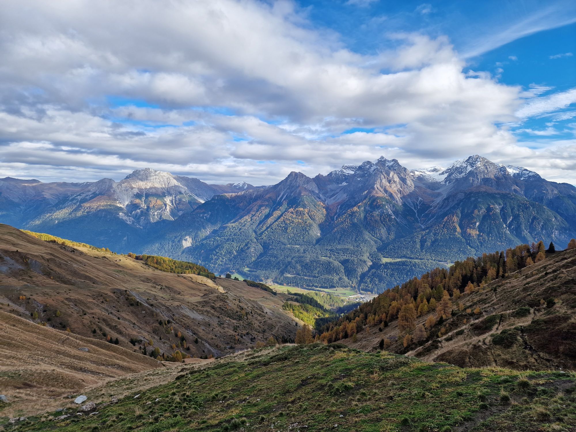
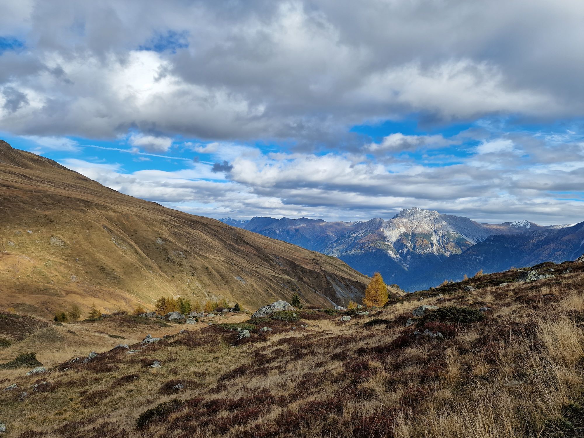
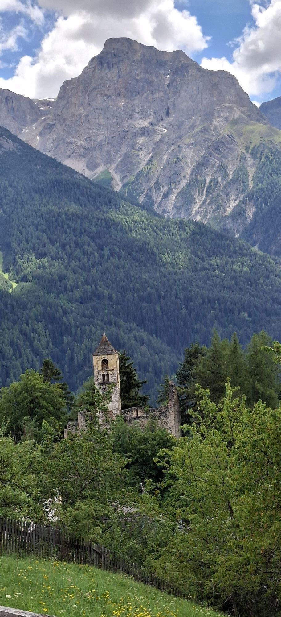
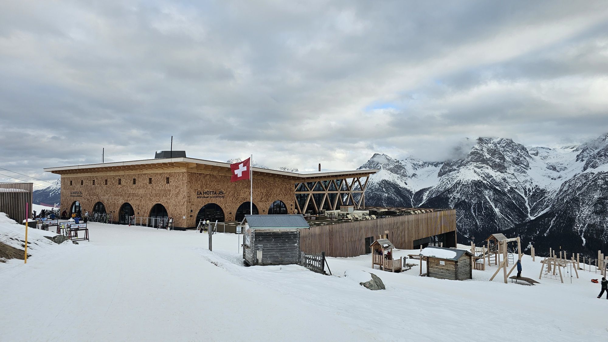
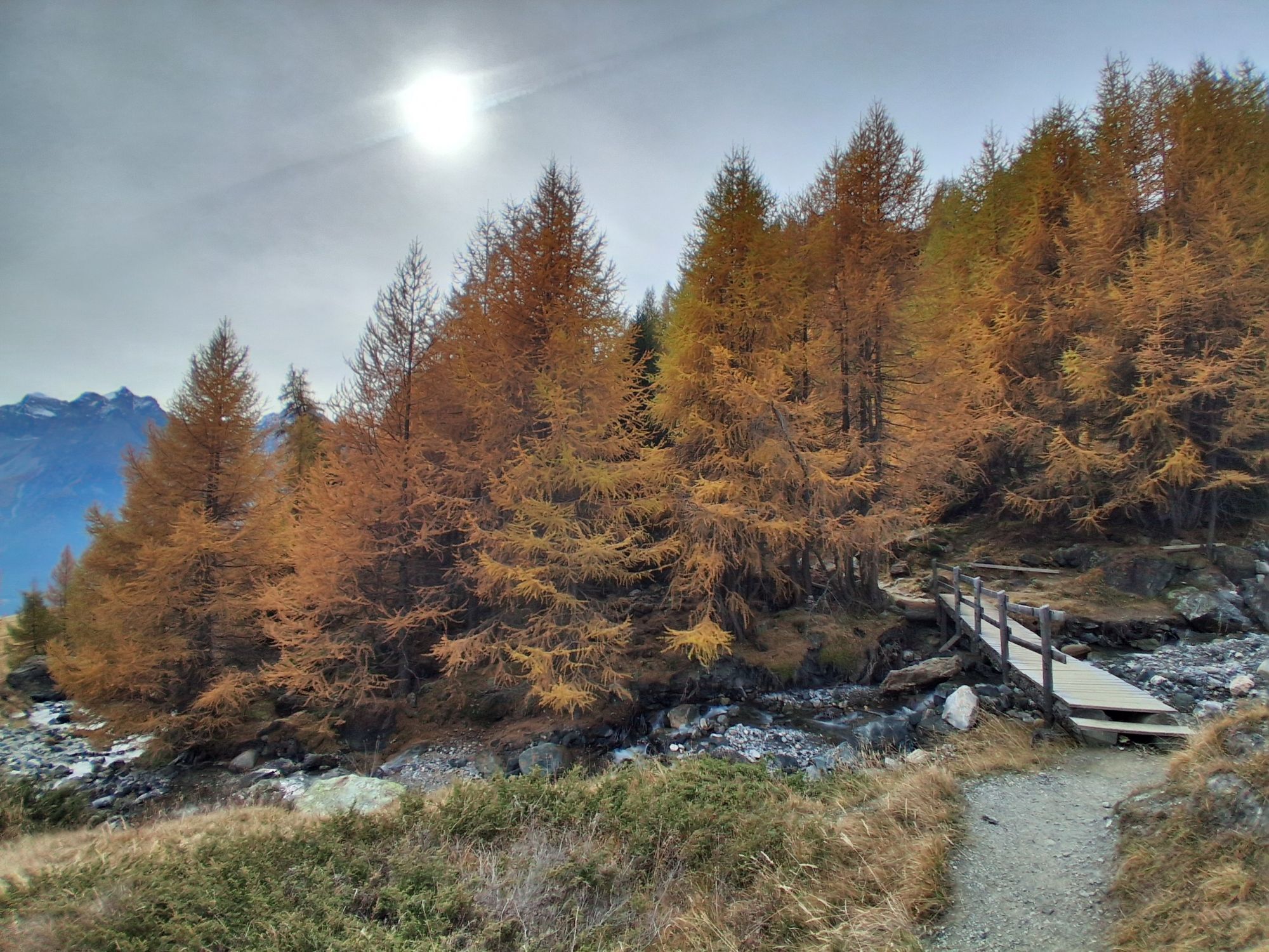
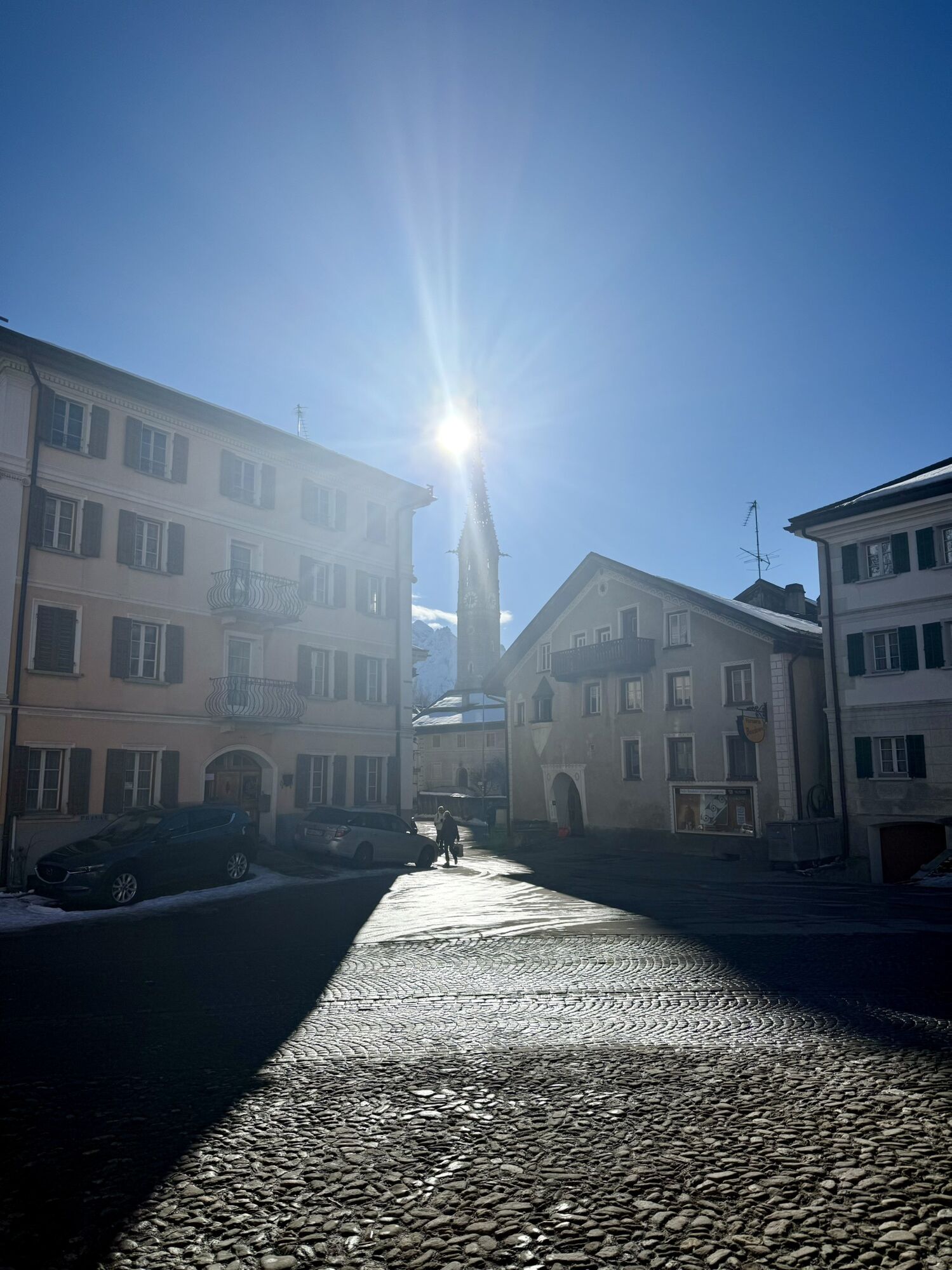
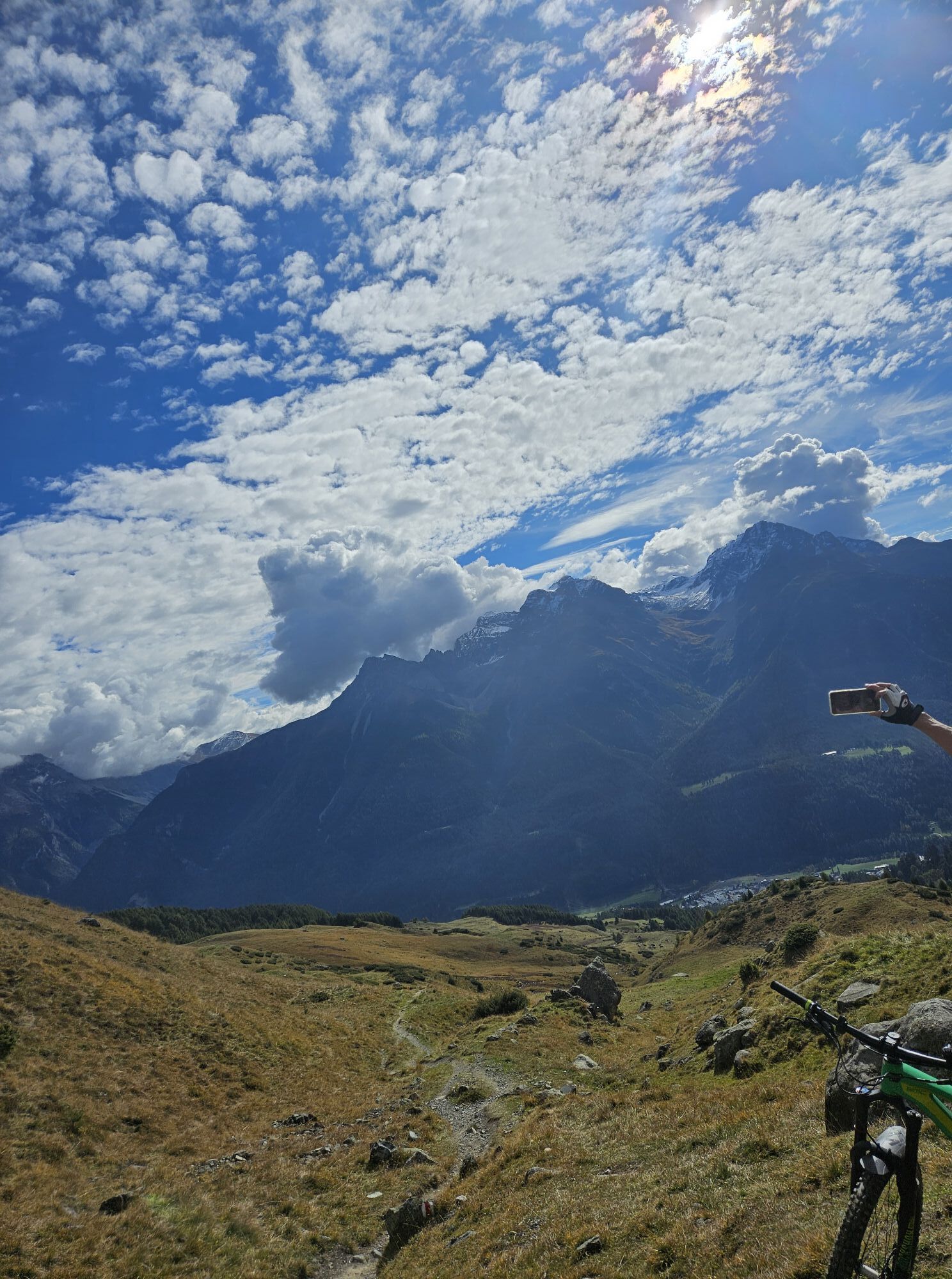
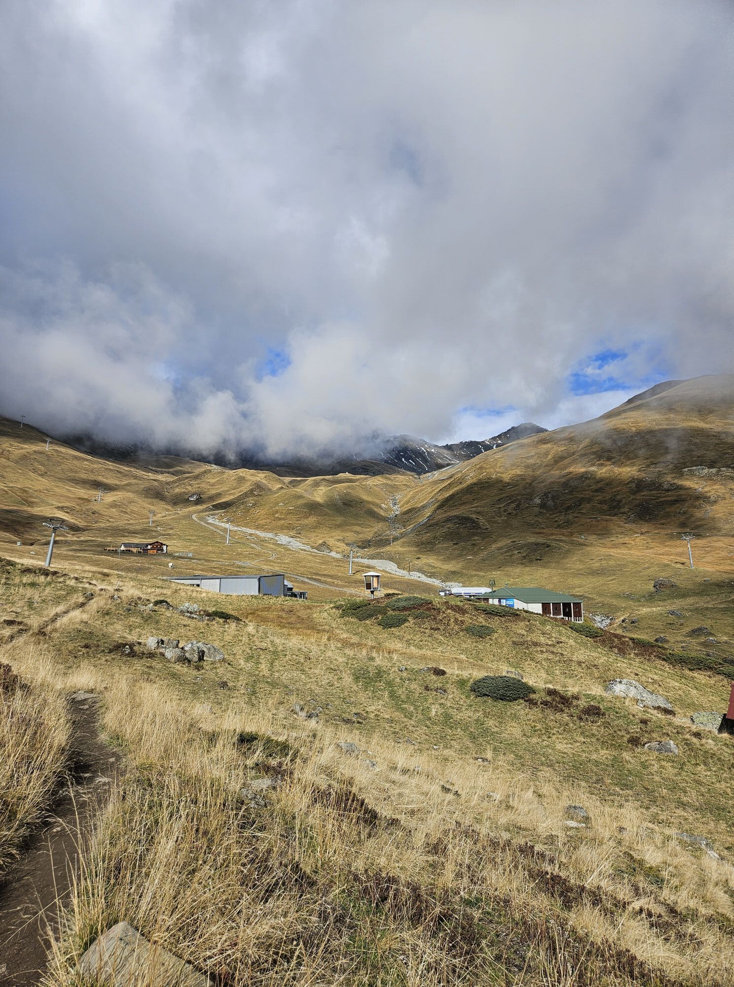
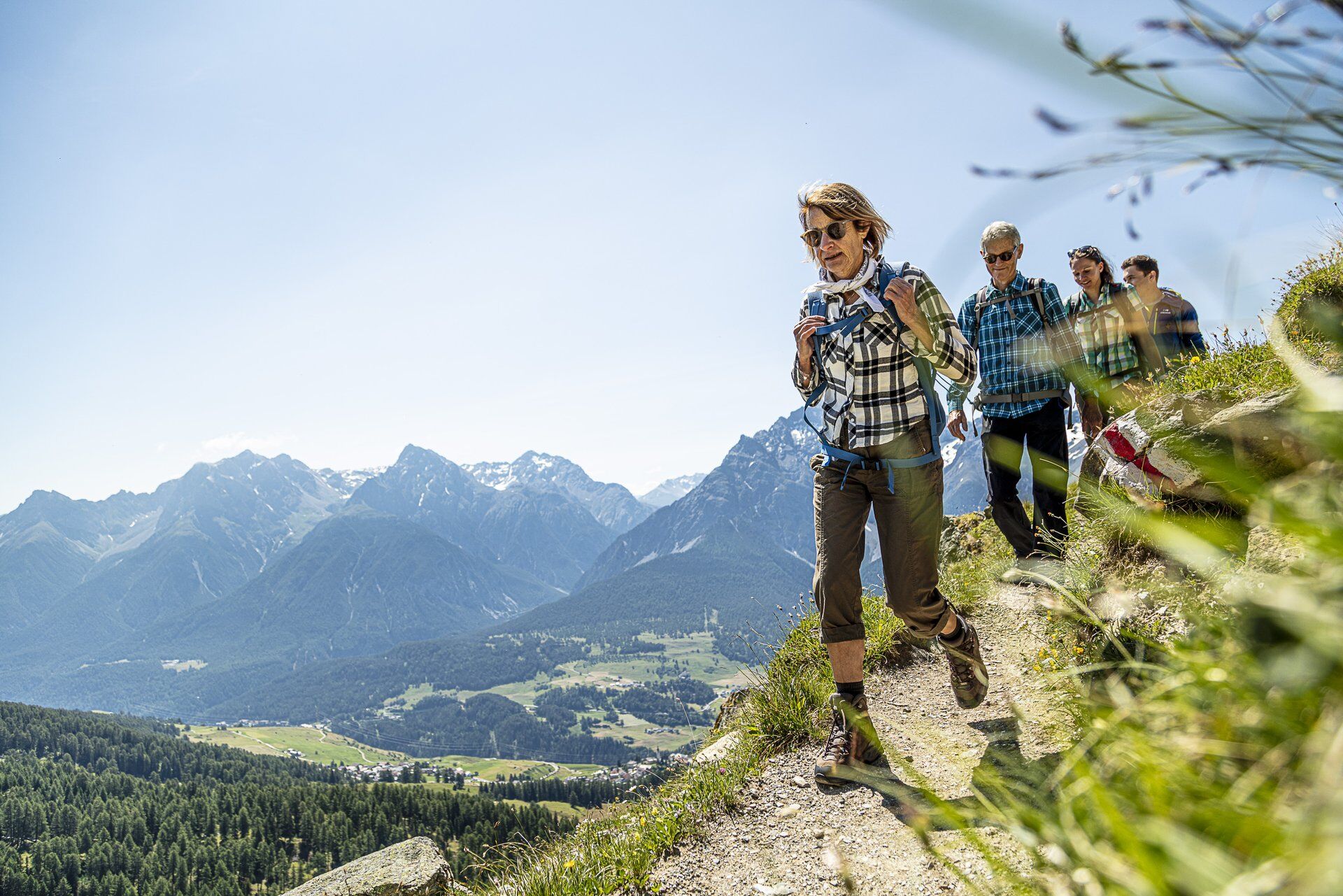
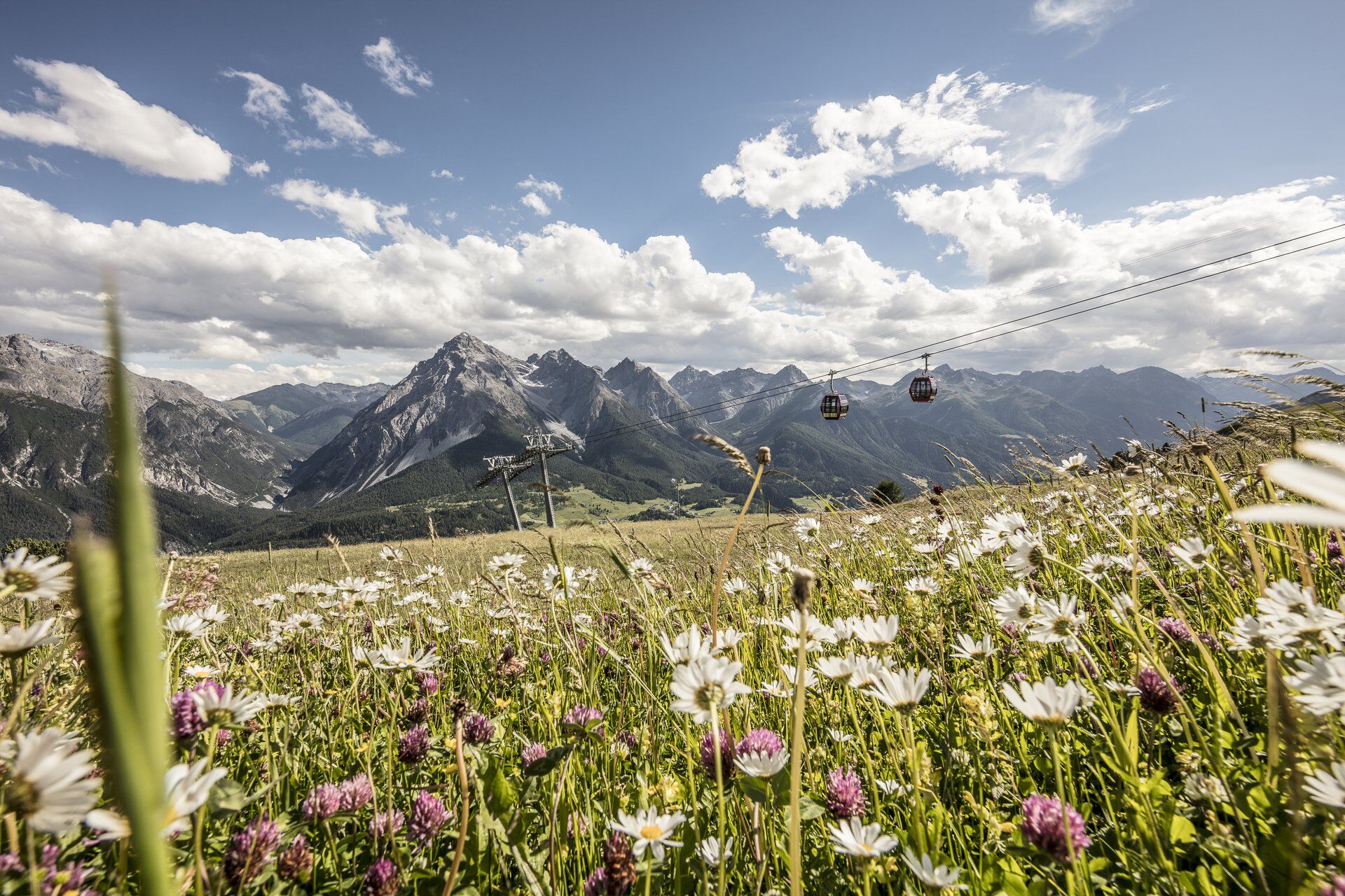
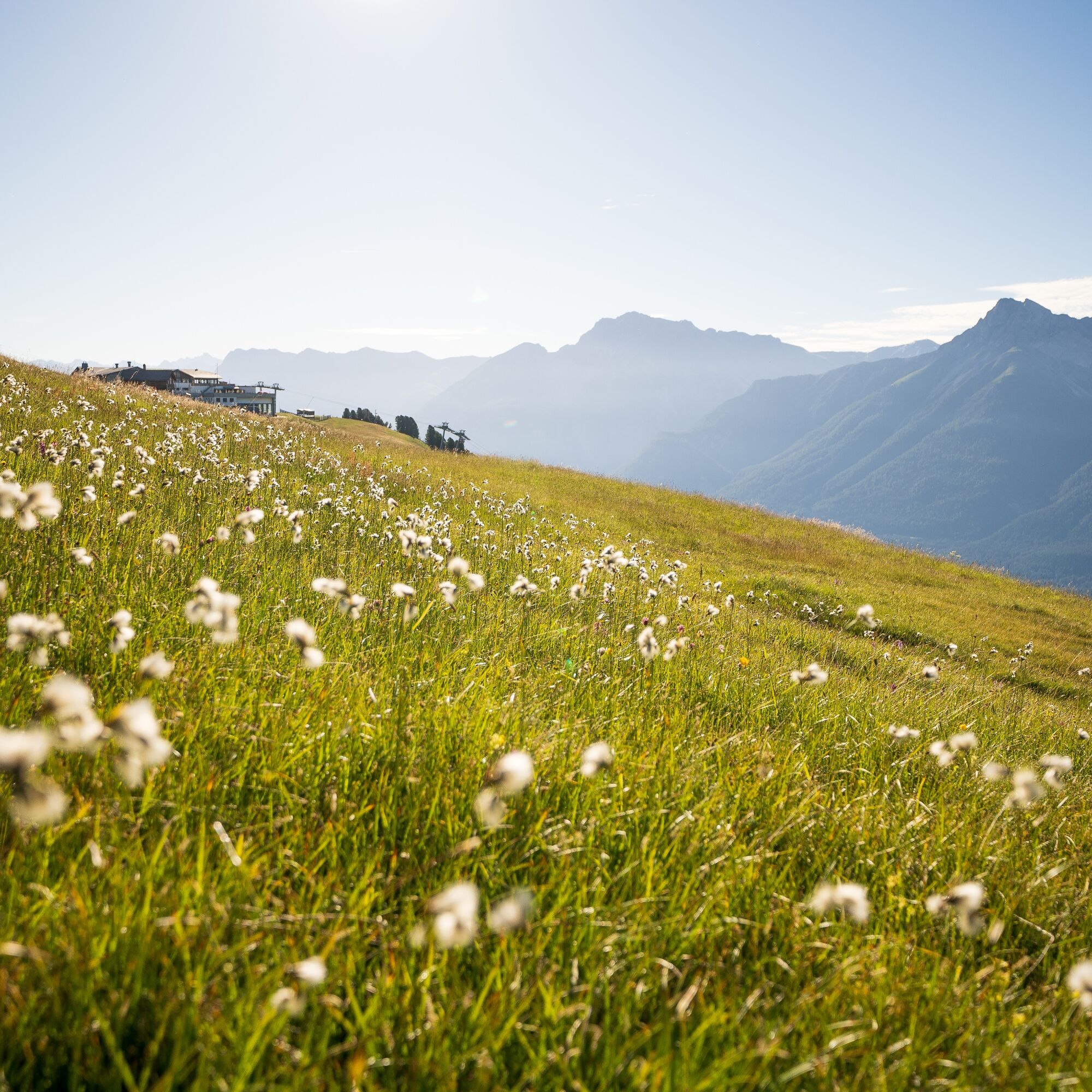
Before the start of the first section, the first decision is already pending: Those who want to do a few extra meters of elevation can start the hike in Ftan and walk via Alp Laret to the Prui mountain station. Those who want to start the day leisurely can simply take the chairlift to the mountain station. And for the escapees who traveled or hiked to Scuol the evening before, the same options are available from Scuol with the gondola – here the hike would only start from the Motta Naluns mountain station. From here the hike follows the "Via Engiadina" signage. The path leads northeast away from the gondola. Always above the tree line heading east, you soon reach the Jonvrai valley basin, where at the valley stations of the chairlifts Clünas, Mot da Ri, and Salaniva the mountain stream Clozza is crossed. From here the path follows the slopes of Piz Champatsch flatly and repeatedly offers short views of Scuol and the Clozza gorge as well as Sent. Descending through the first forest sections to Vastur. Crossing the streams of Val Gronda and Val Güstina, you soon reach the terrace village of Sent.

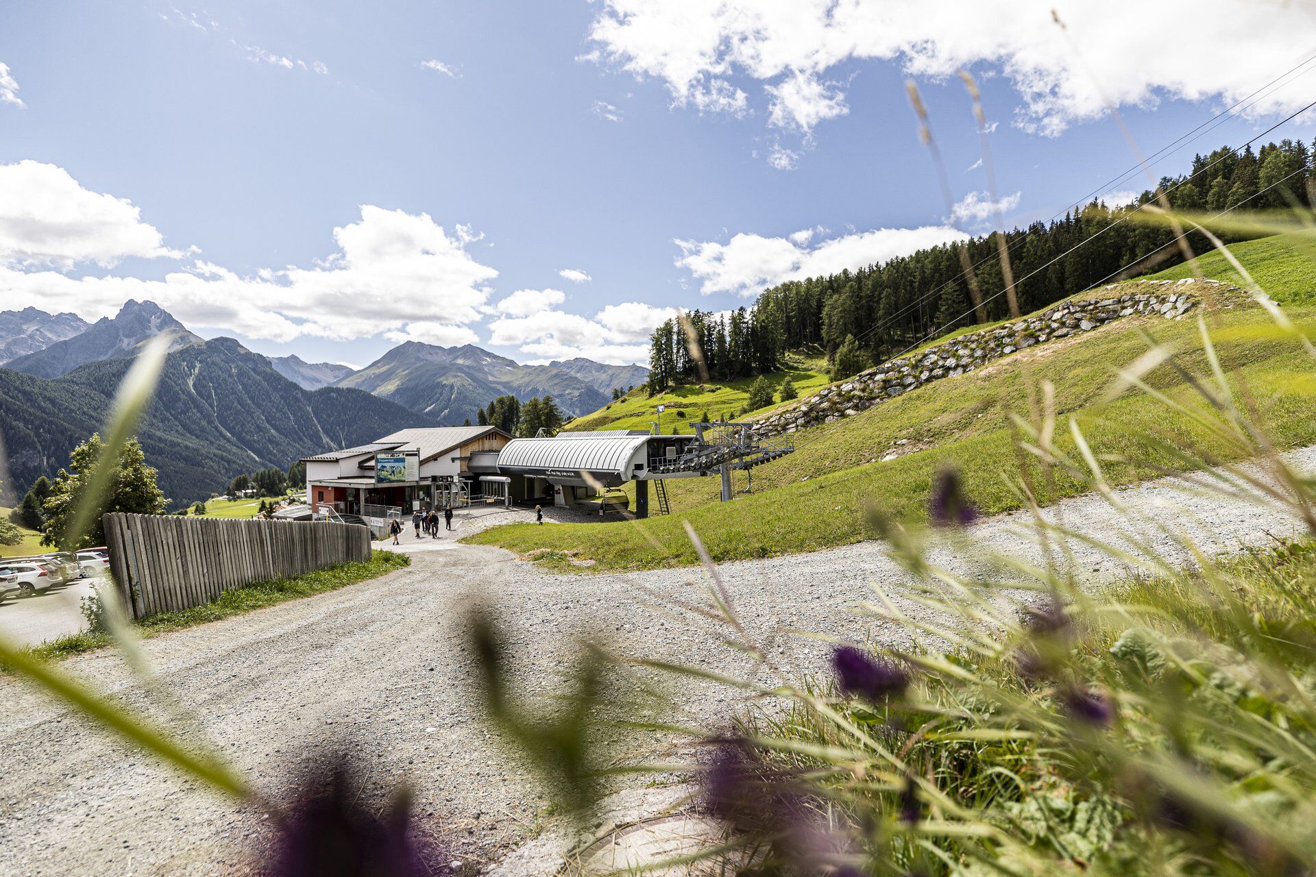
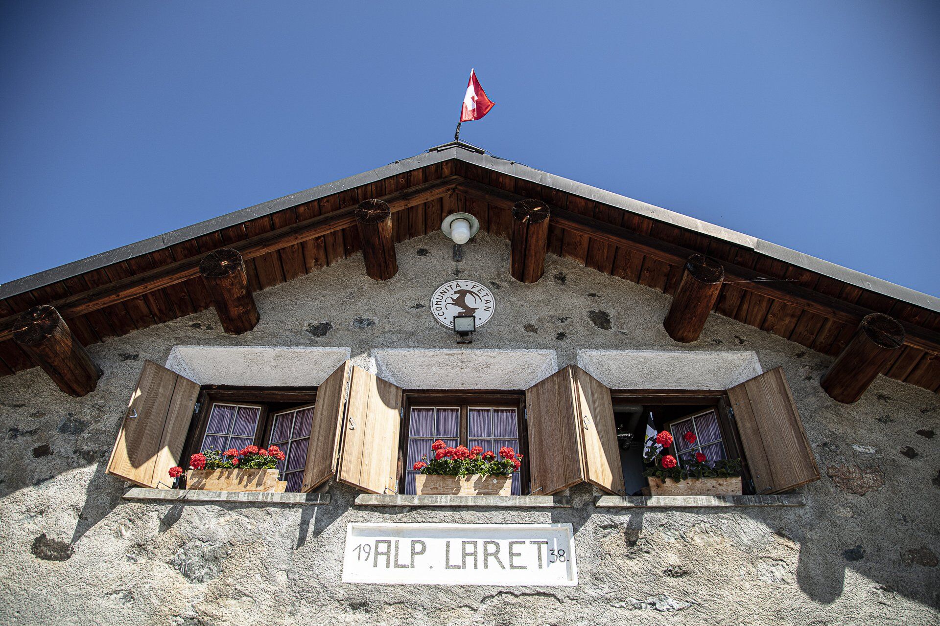

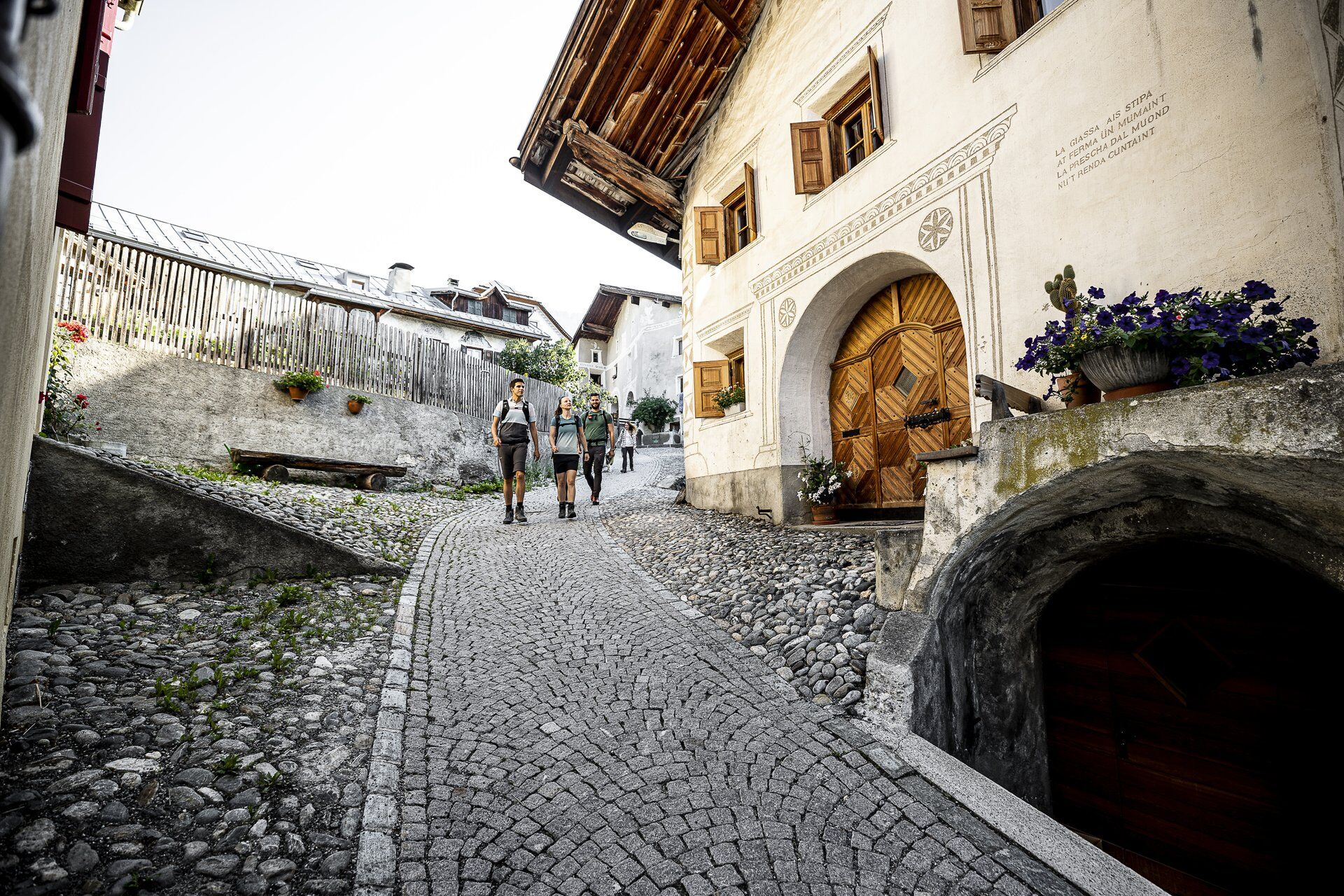

From Ftan, take the chairlift to Ftan-Prui
Follow the Flurina trail to the Motta Naluns mountain station
Follow the Via Engiadina marking northeast away from the gondola
Head east to the Jonvrai valley basin
At the valley stations of the chairlifts Clünas, Mot da Ri, and Salaniva, cross the mountain stream
Follow the path
Ascend through the first forest sections to Vastur
Cross the streams Val Gronda and Val Güstina
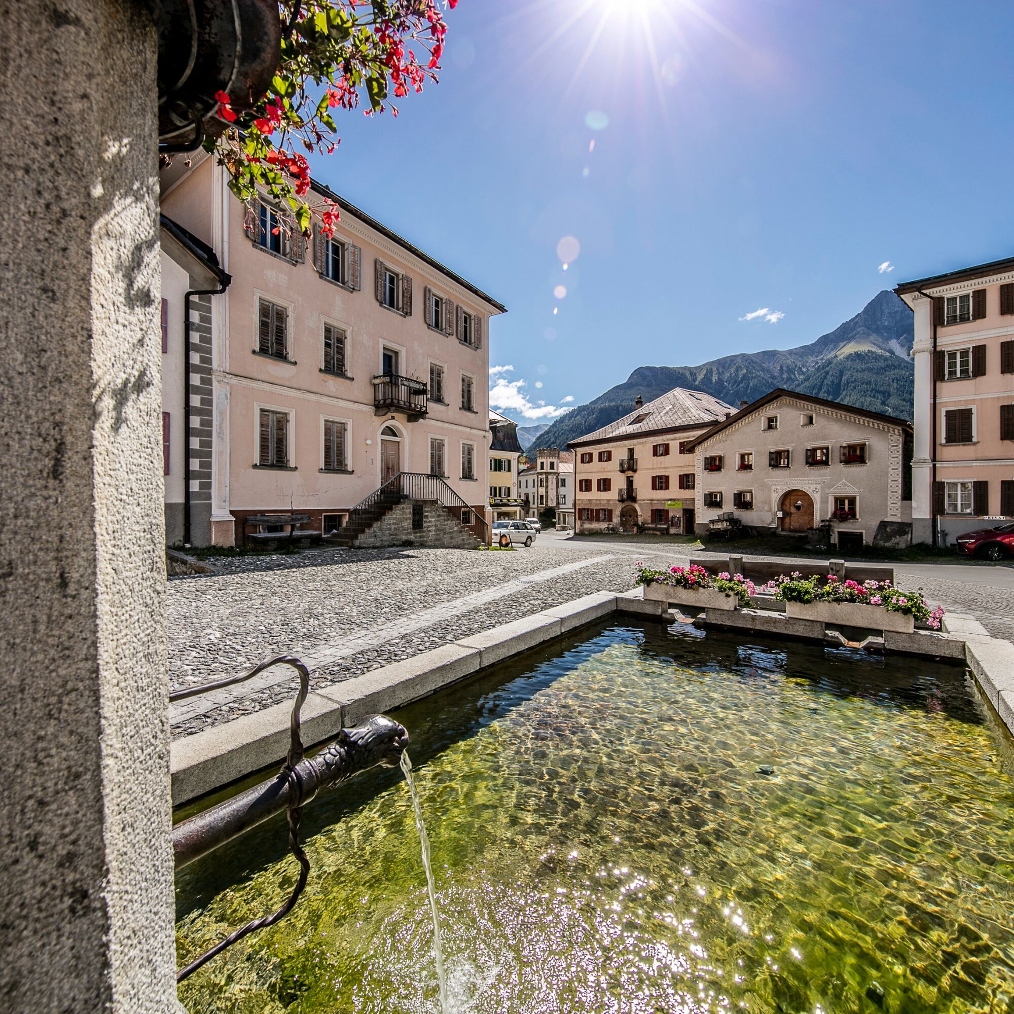
Descend to Sent
Áno
Áno
Good footwear, rain and sun protection, drinking bottle, first aid kit.
The route was rated under favorable weather conditions. Current weather conditions and forecasts must be strictly observed before starting the hike.
Emergency numbers:
144 Emergency, first aid
1414 Mountain rescue REGA
112 International emergency number
Ftan lies above the Engadin road between Ardez and Scuol.
By PostBus (from Martina, Sent, Ftan, or Tarasp) hourly to Scuol-Tarasp station
Then continue by PostBus to Ftan, Cumün.Paid parking spaces in the village or at Scuol station
Video about the Via Engiadina: Multi-day hike in the Engadin Scuol Zernez holiday region
Získajte prehľad
Vždy naživo na mieste s viac ako 9 500 webovými kamerami. bergfex Ako používateľ Pro si teraz môžete pozrieť príslušné webové kamery pre mnohé zájazdy v aplikácii zájazdy z. Môžete si tak priamo prezerať aktuálne podmienky.
Obľúbené výlety v okolí
-
5,0
Samnaun Dorf – Muttler
ťažkéTuristika 14,8 km -
4,5
Tarasp Fontana – Sparsels – Lai Nair (circular route)
svetloTuristika 7,67 km -
5,0
3 Länder Tour Uinaschlucht MTB
ťažkéMountainbike 74,6 km -
5,0
San Jon – Chamonna Lischana (return)
strednáTuristika 12,0 km -
Nauders: Schweiz-Runde
Mountainbike 32,6 km -
4,0
Prui – Piz Clünas – Alp Laret – Ftan
strednáTuristika 13,6 km -
5,0
National Park: Mot Tavrü
strednáTuristika 12,0 km -
5,0
Piz Lad
strednáVysoké turné 6,67 km -
Piz Buin Gipfel
strednáVysoké turné 10,4 km -
5,0
Vnà – Tschlin
strednáTuristika 8,37 km
Turistika a stopovanie


Nenechajte si ujsť ponuky a inšpiráciu na ďalšiu dovolenku
Vaša e-mailová adresa bol pridaný do poštového zoznamu.





