







Lü – S-charl

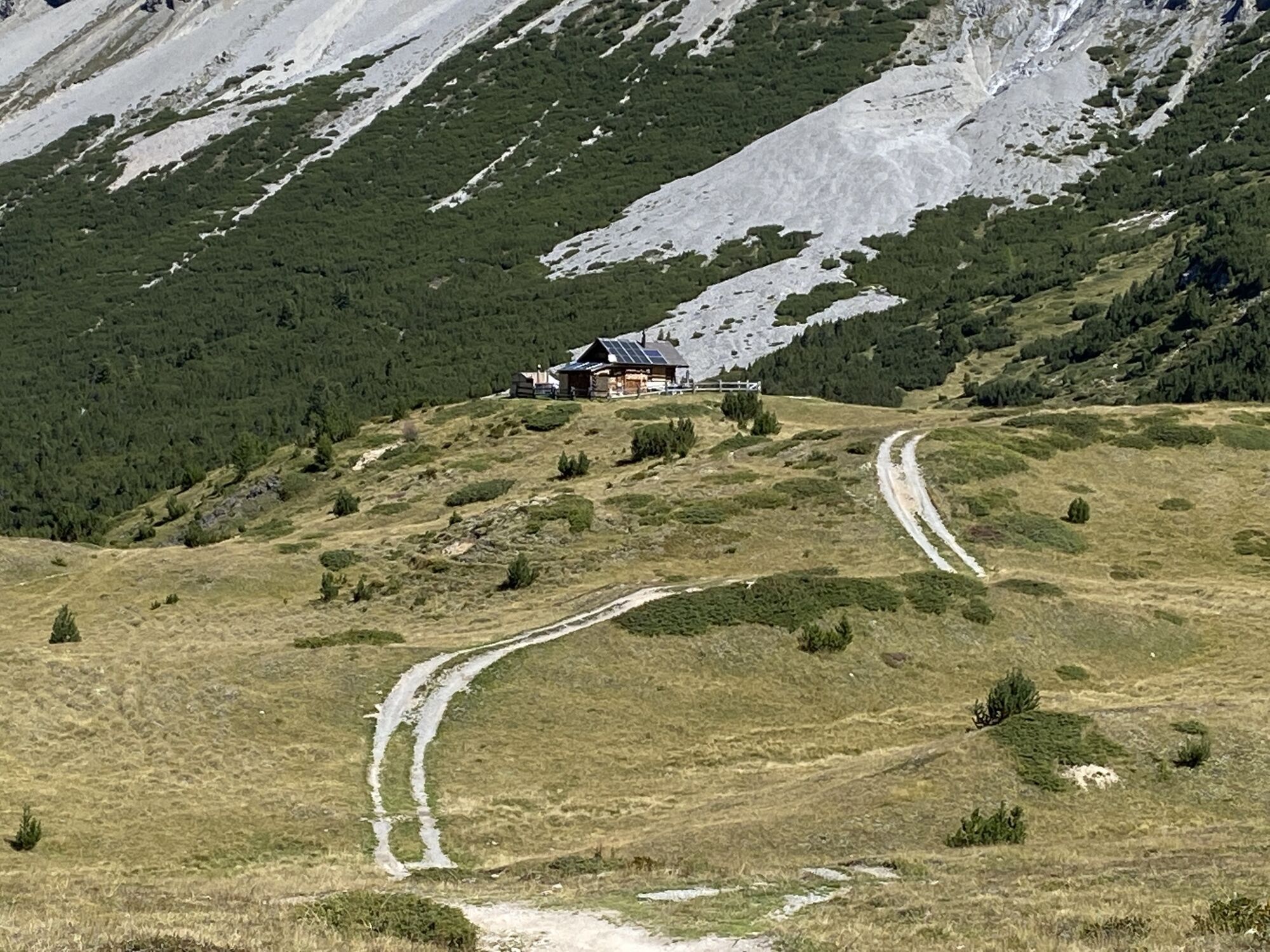
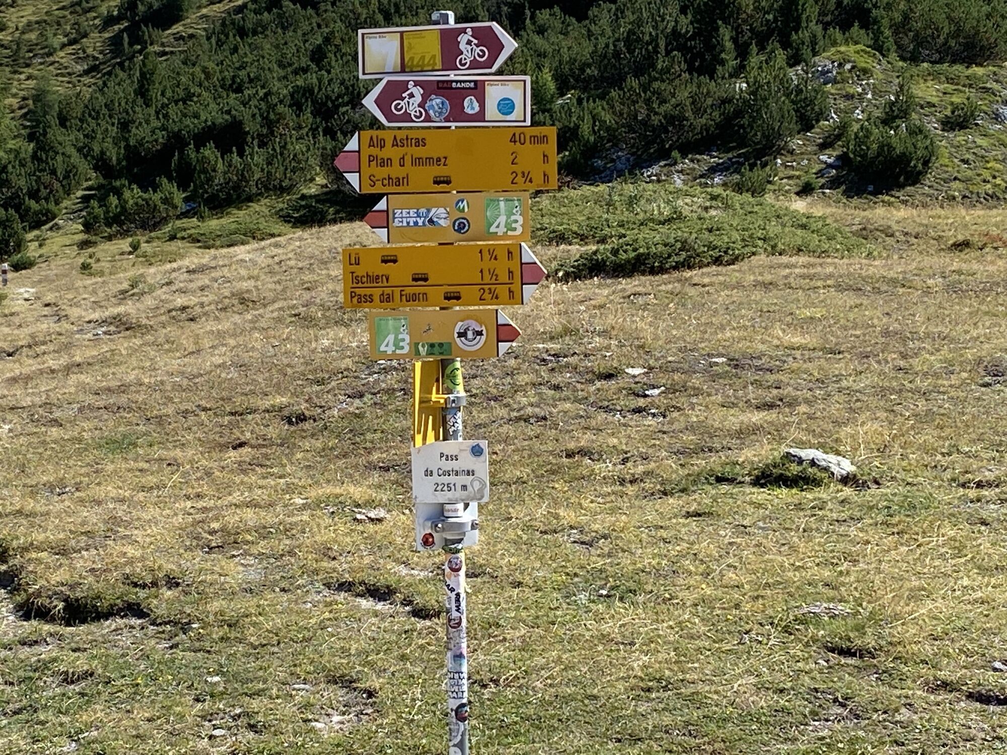

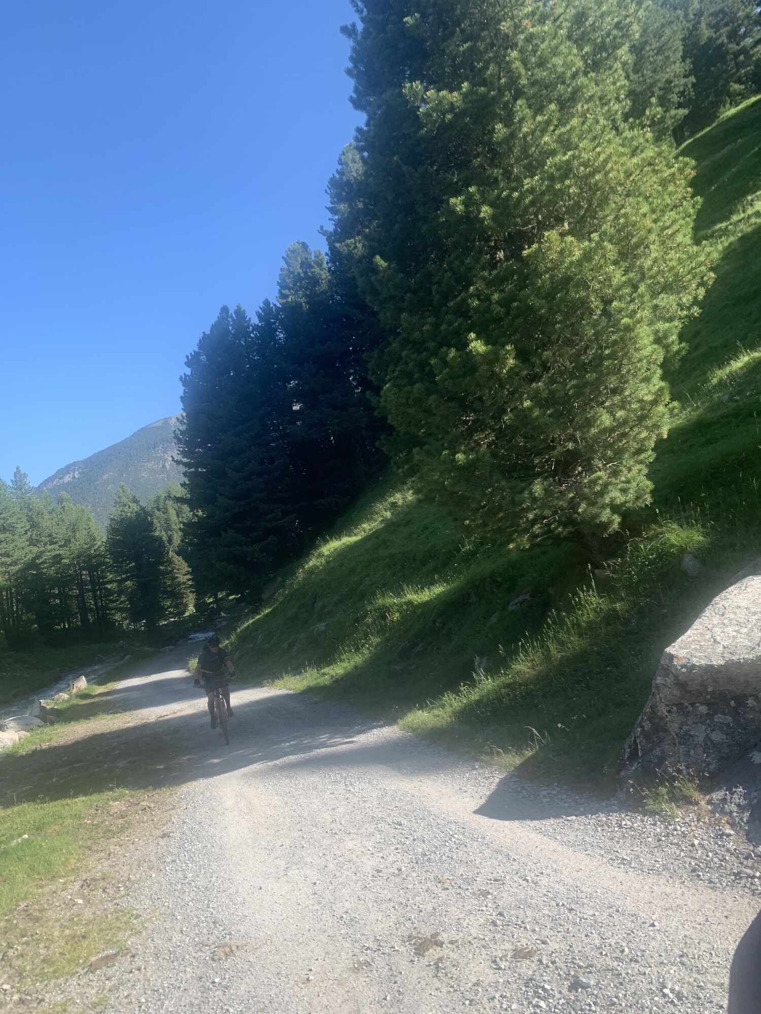
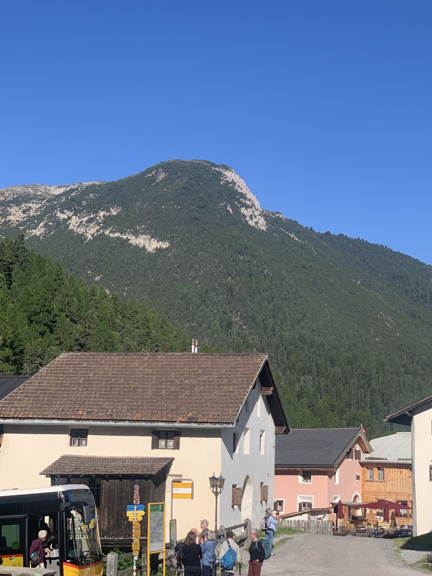
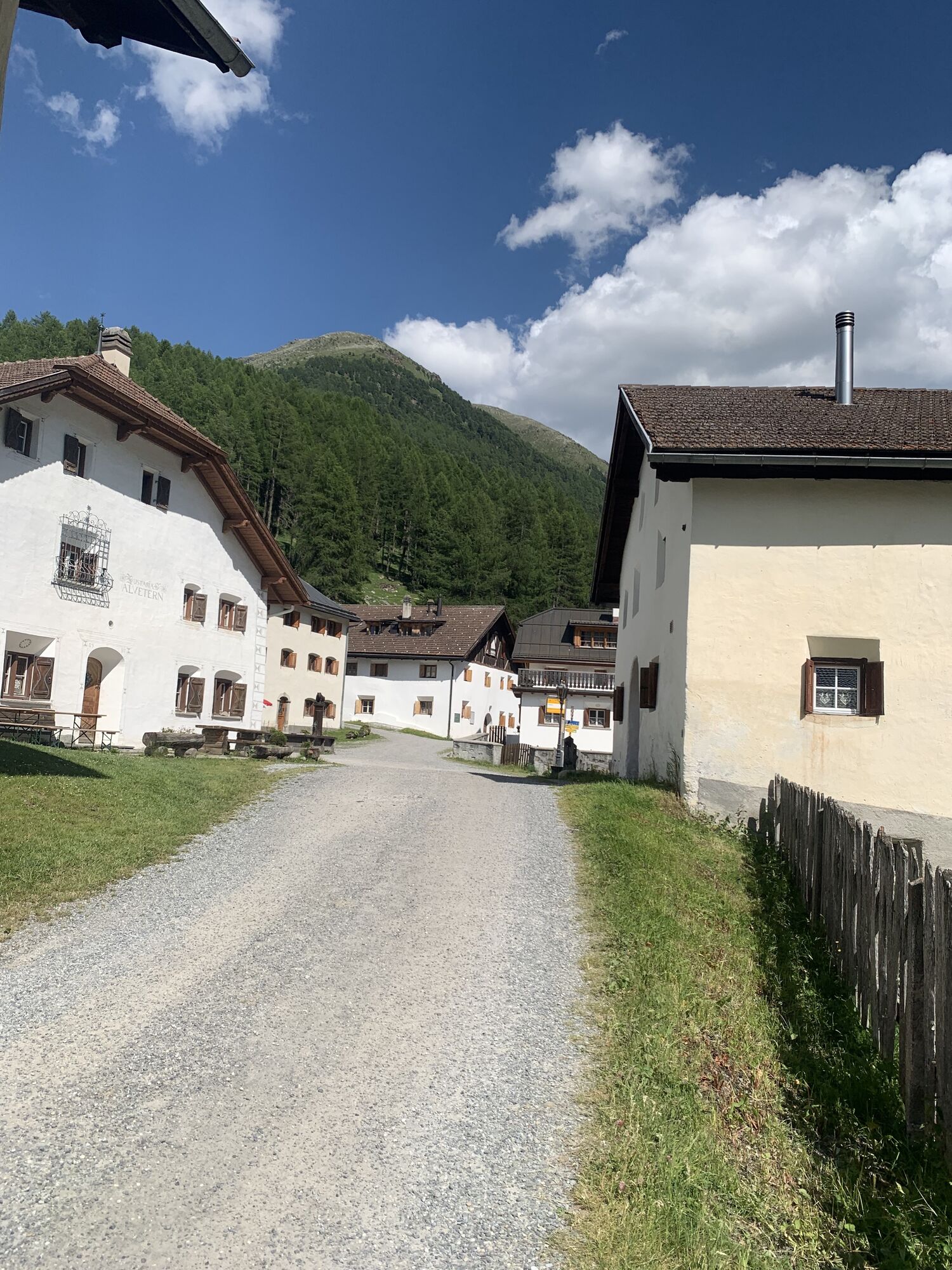
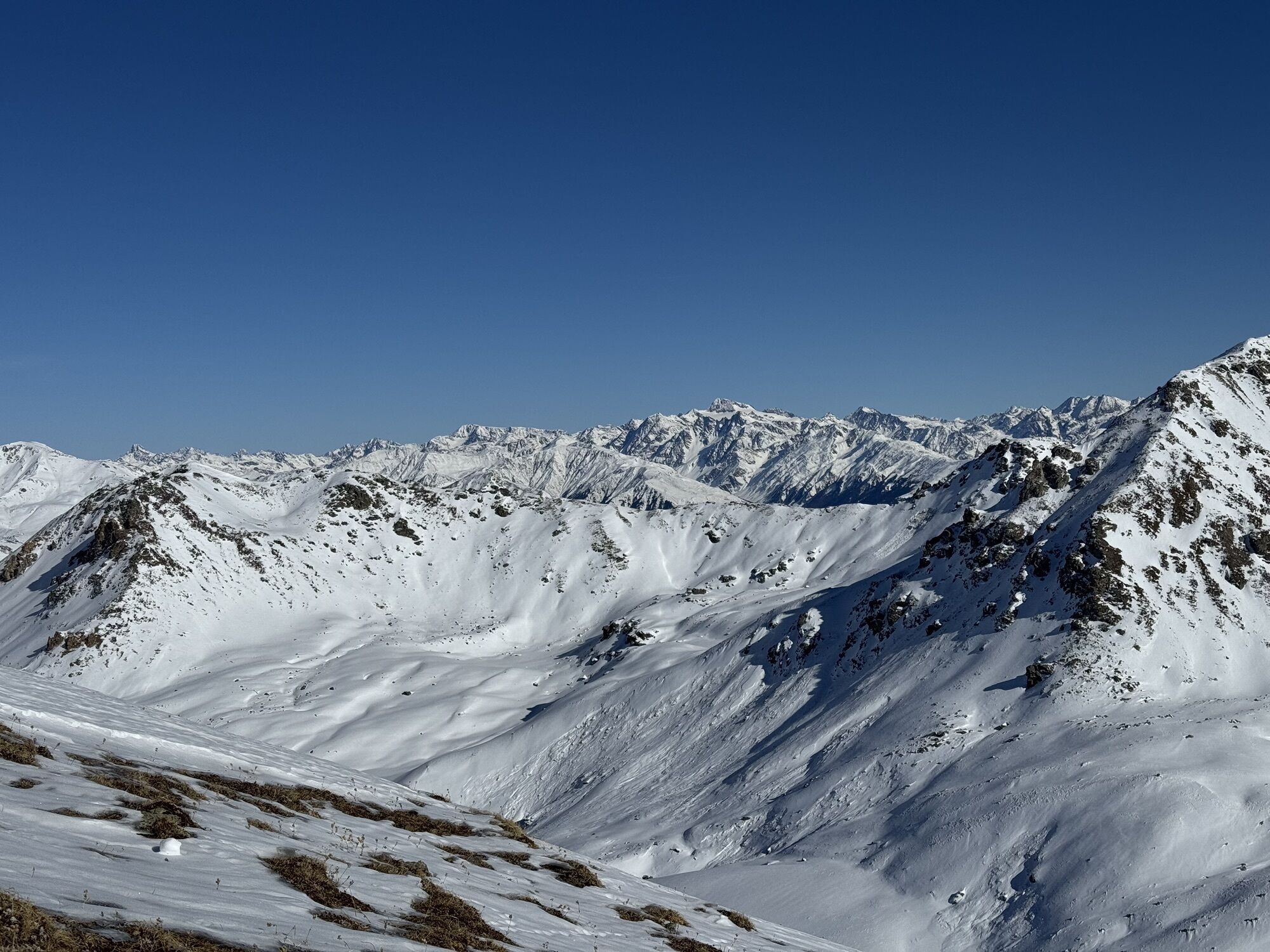
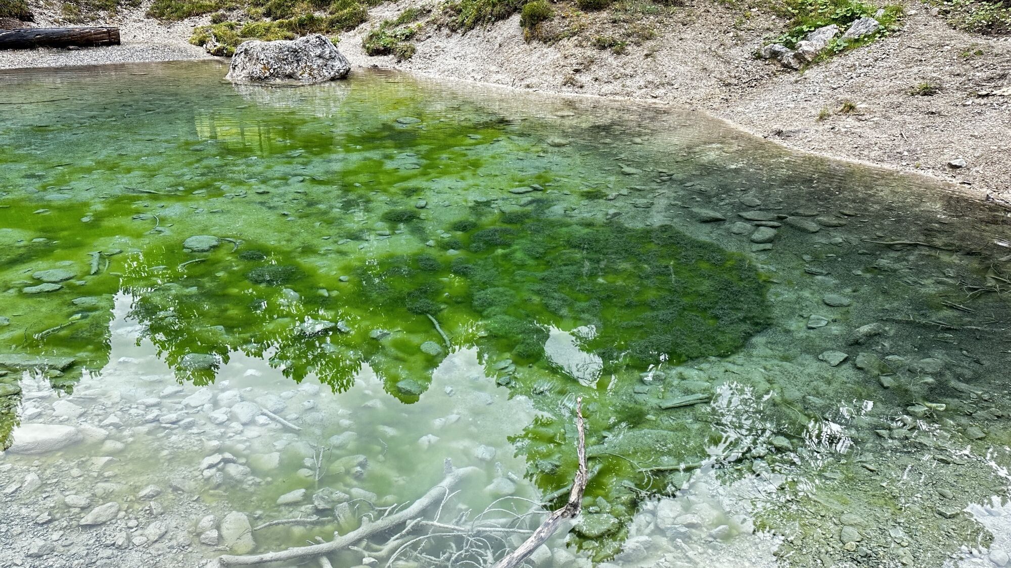
Transfer by PostAuto to Lü. From Lü it goes slightly uphill via the forest road to Alp Champatsch. Then follows a short, steep section to Pass da Costainas, the highest point of this hike. The trail leads...
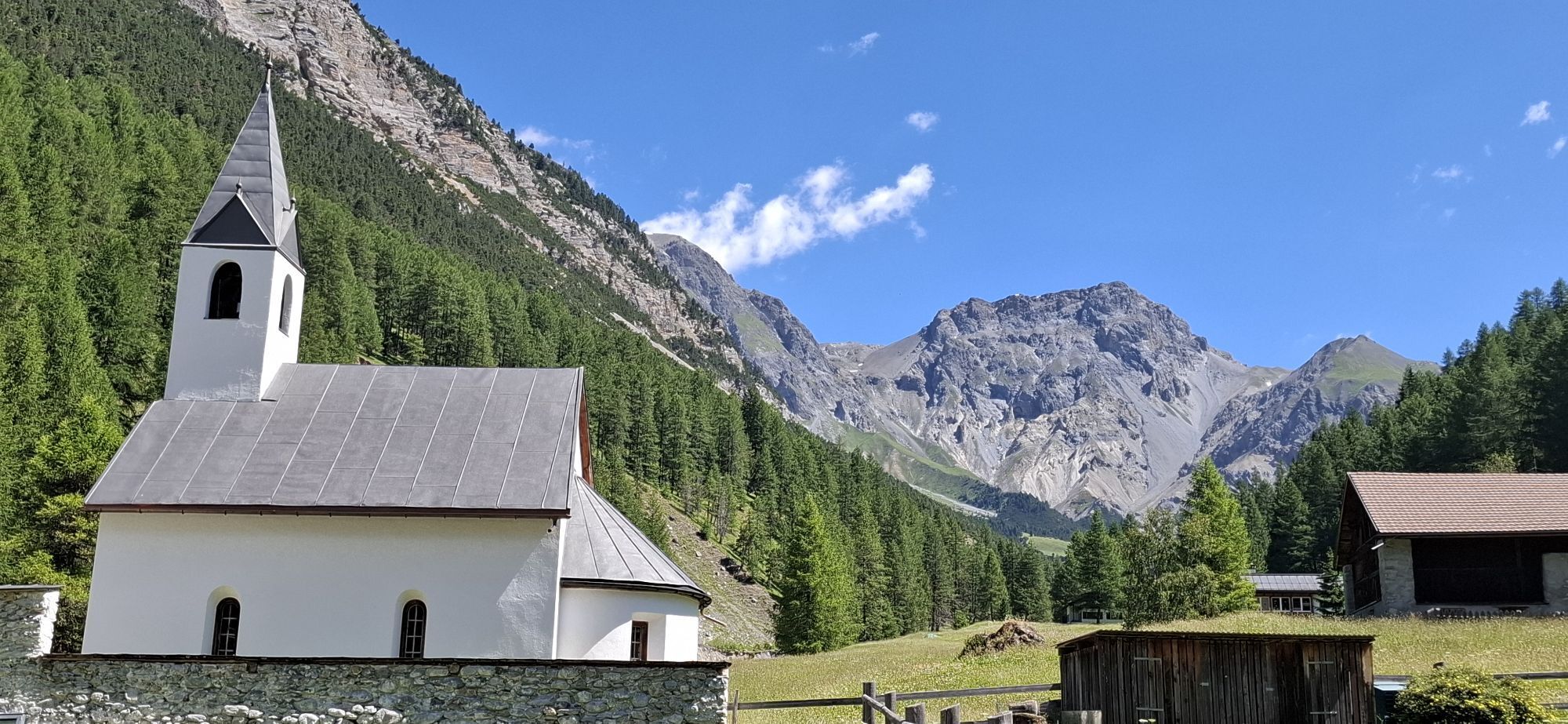
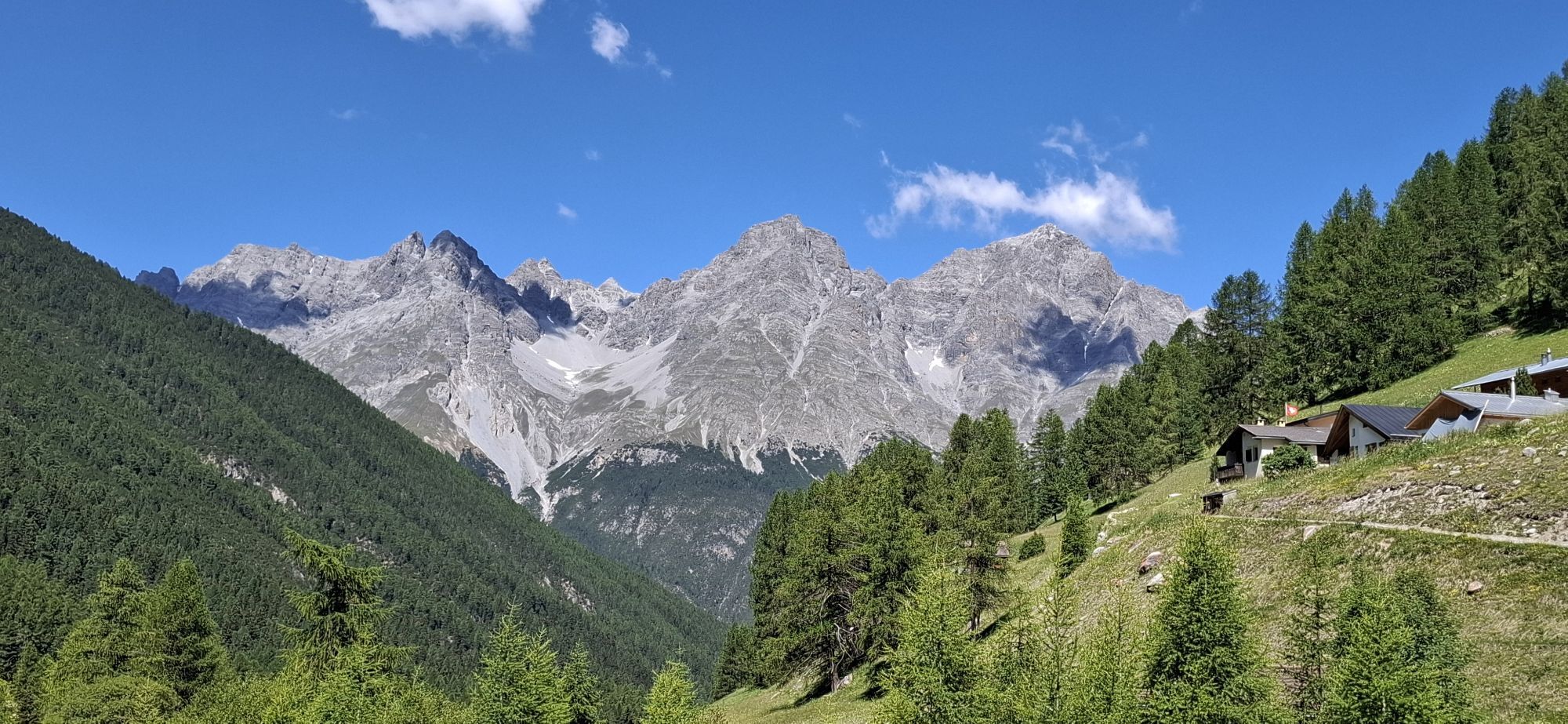
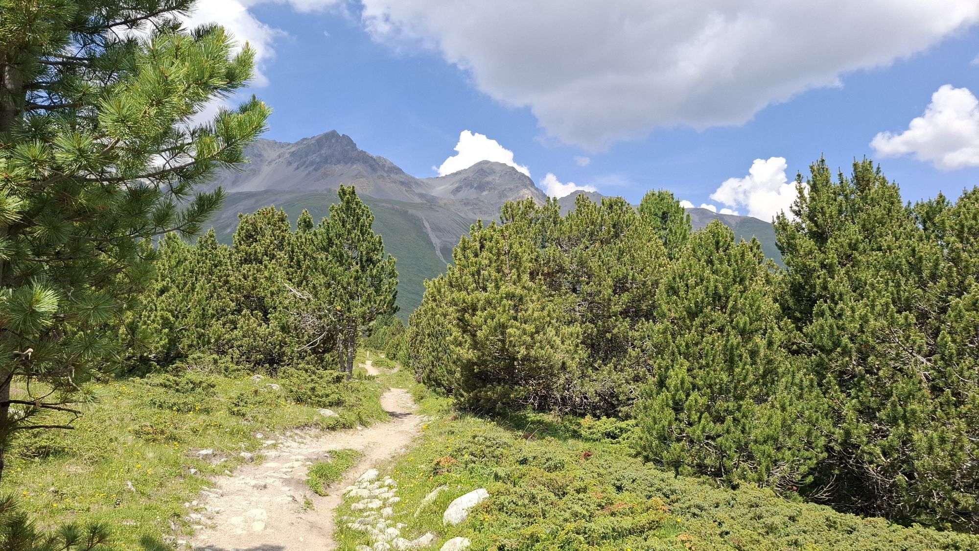
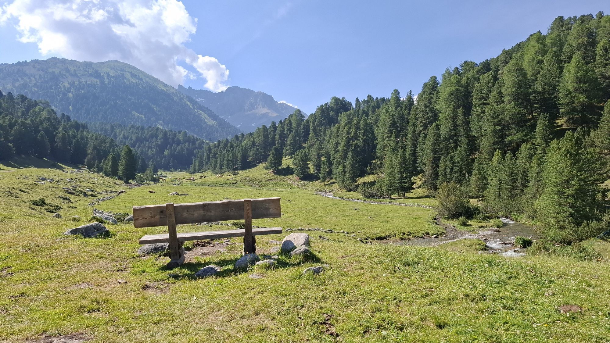
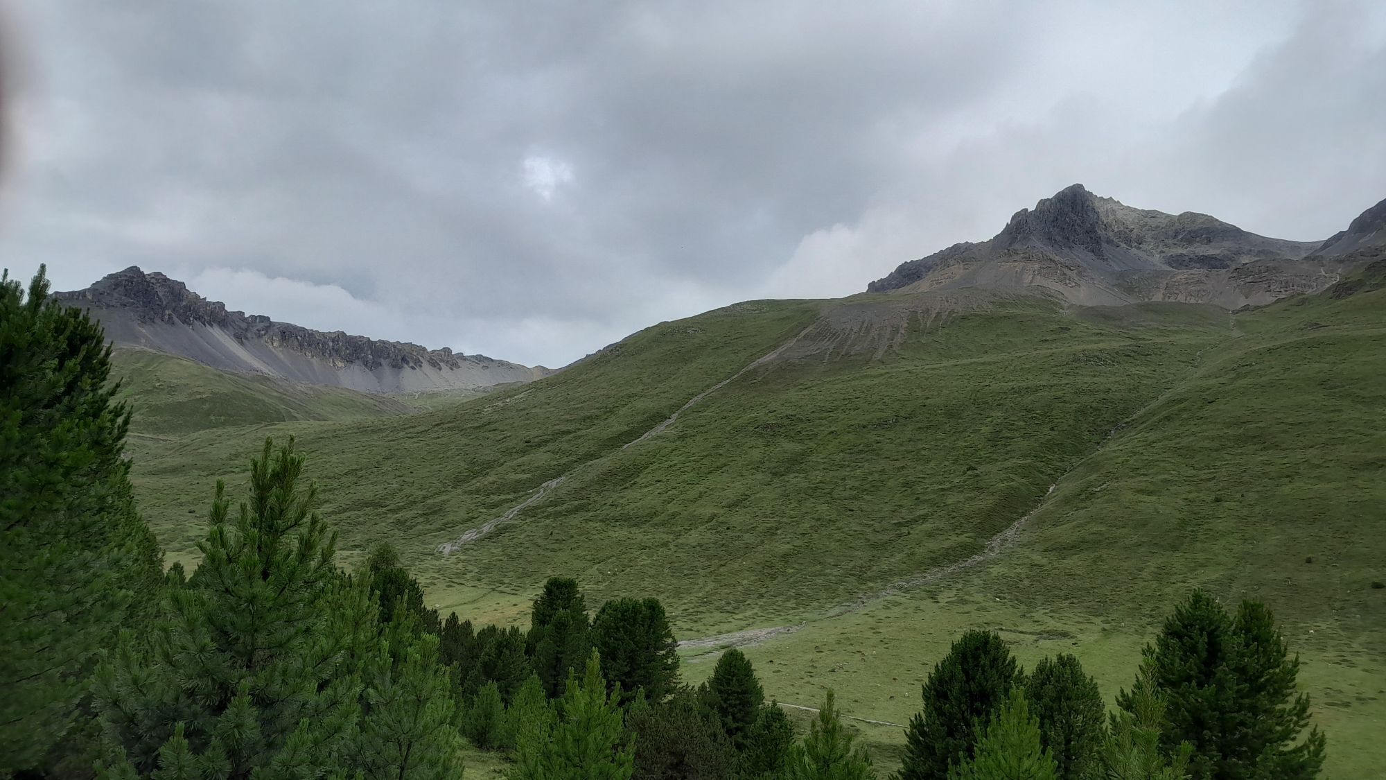
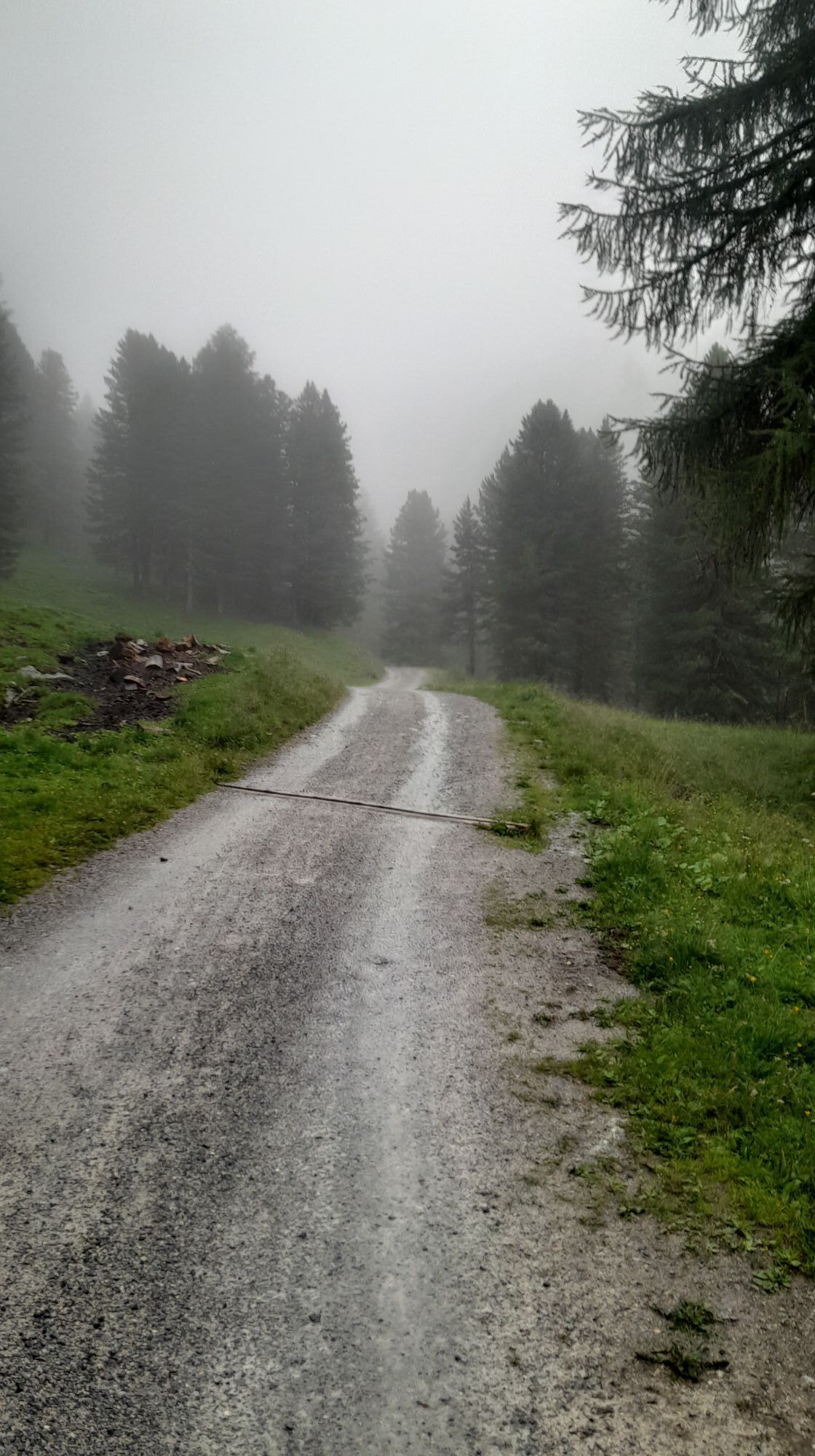
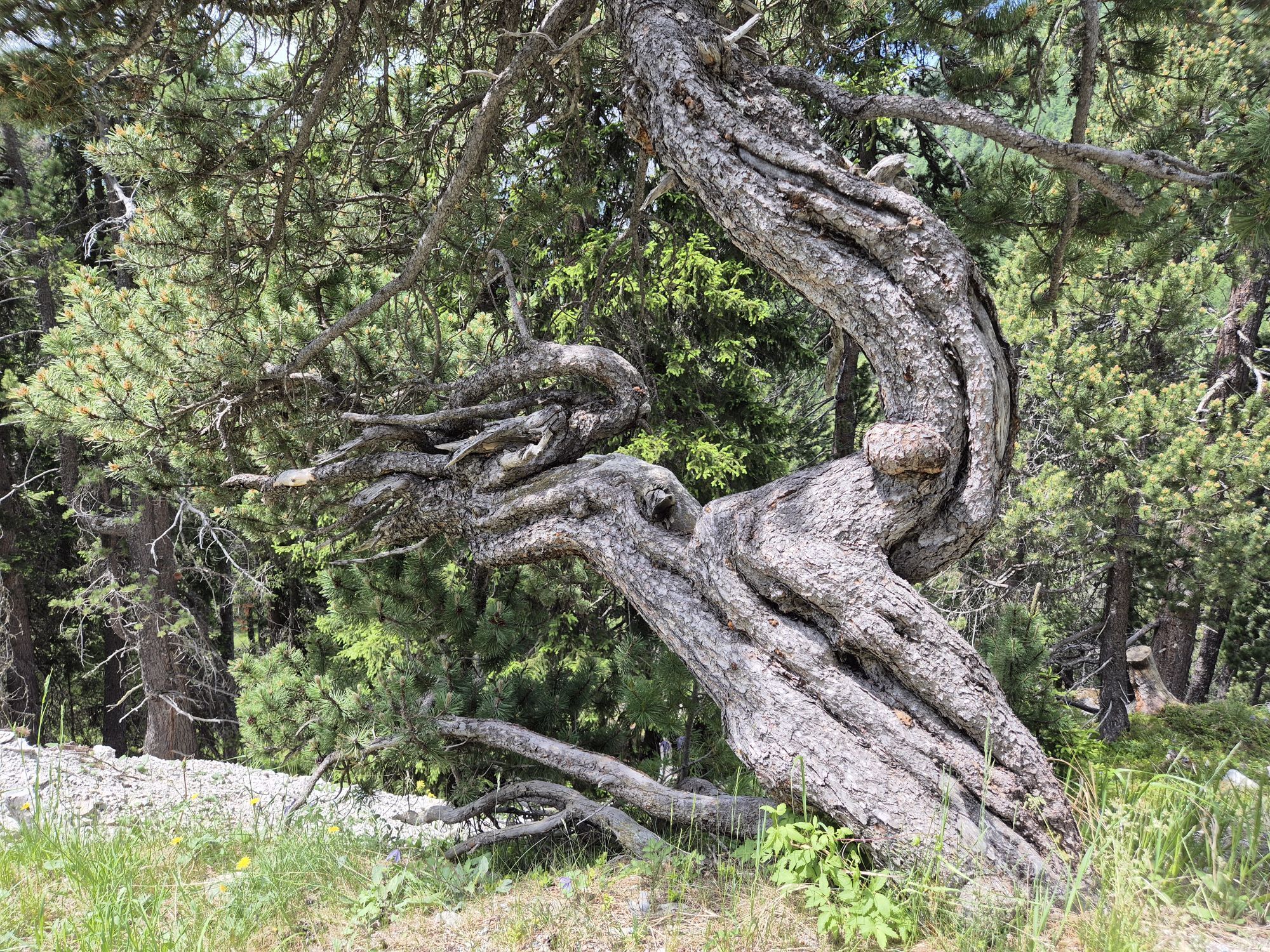
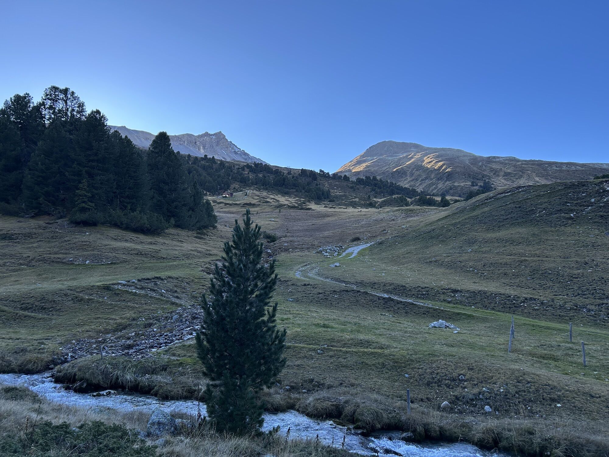
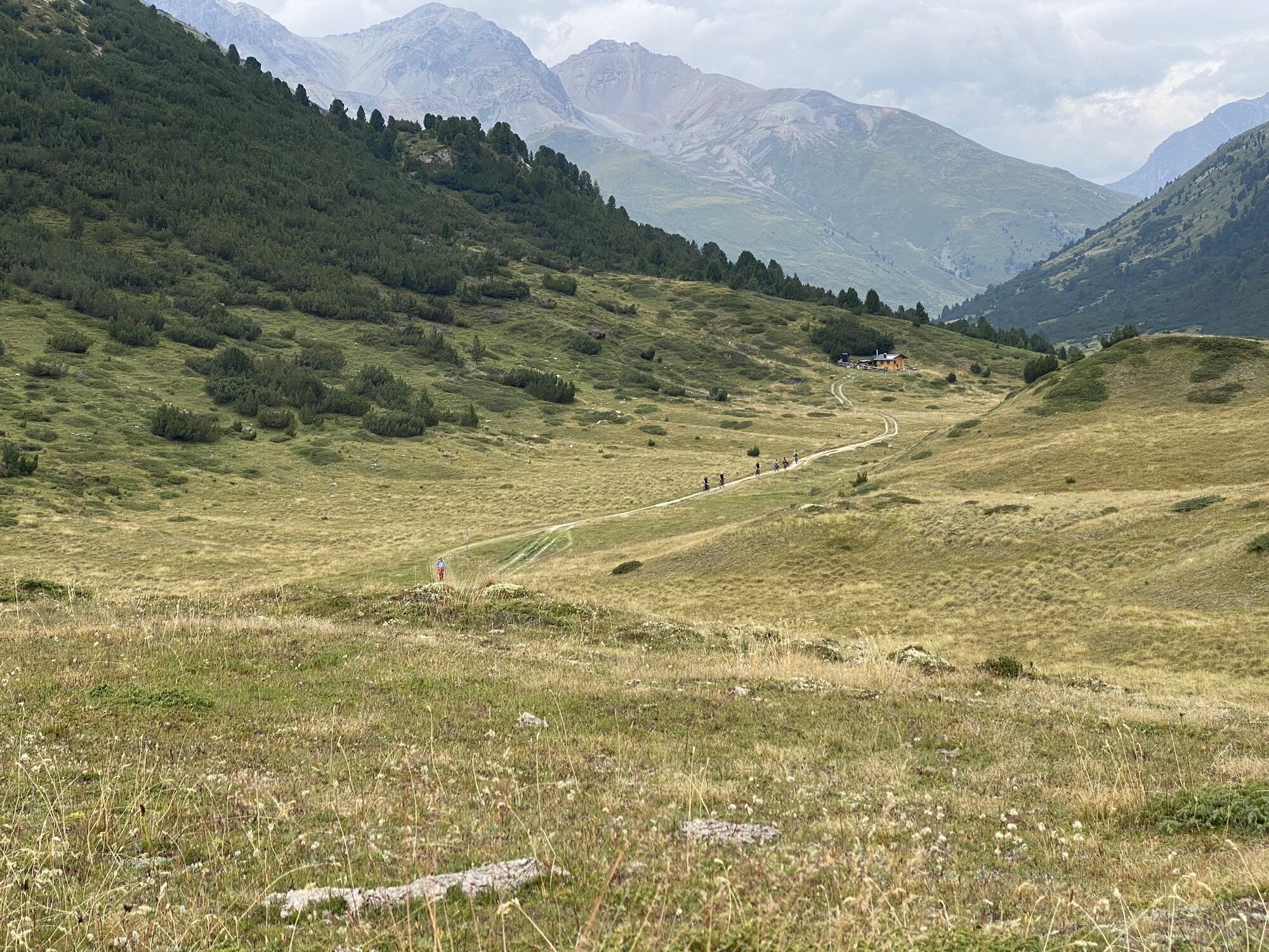
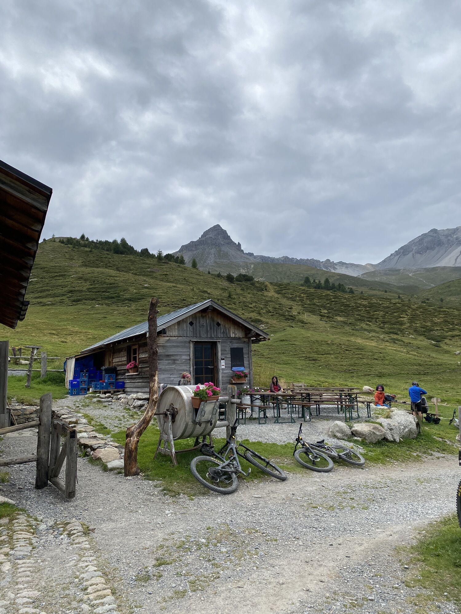
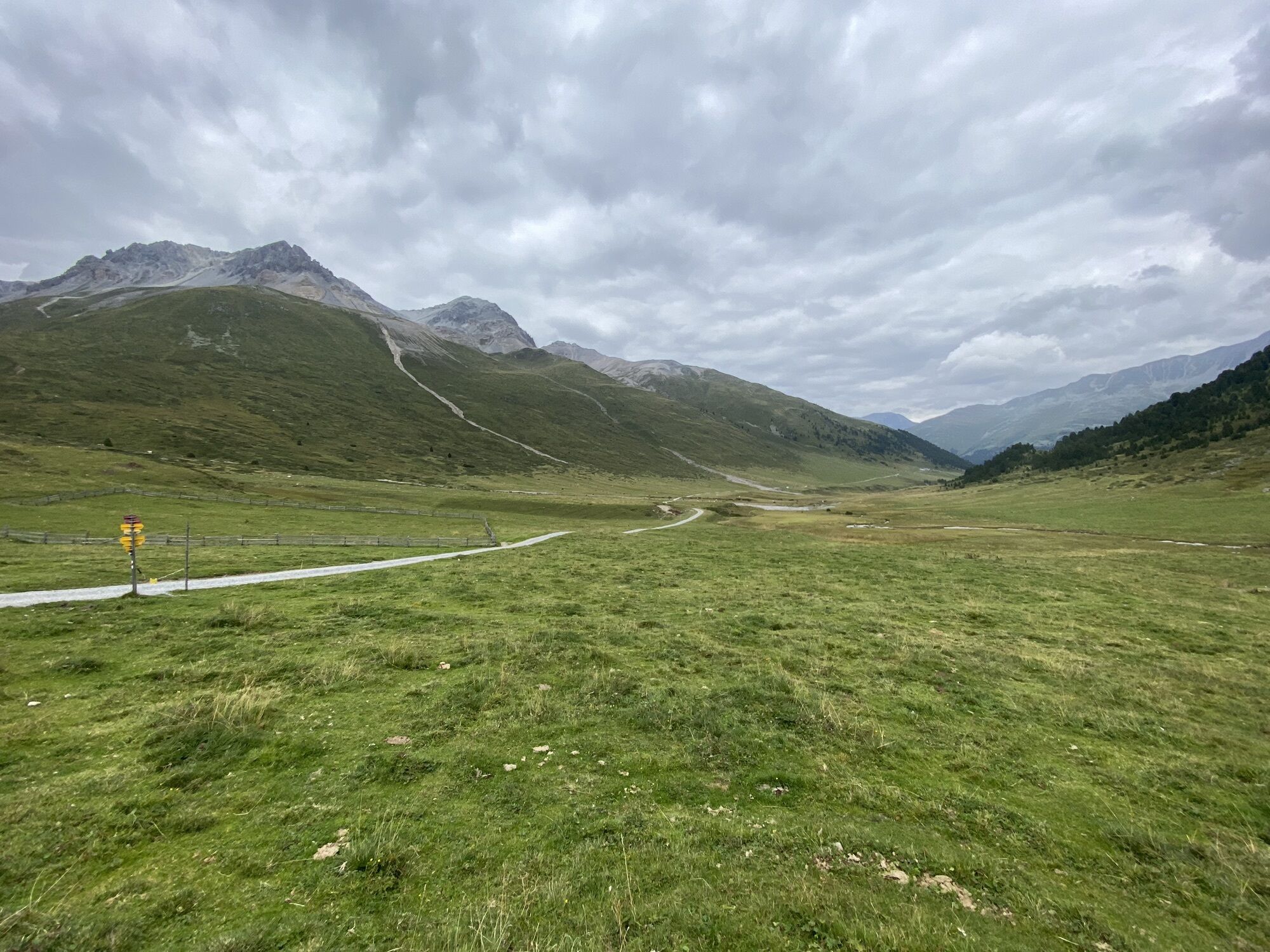
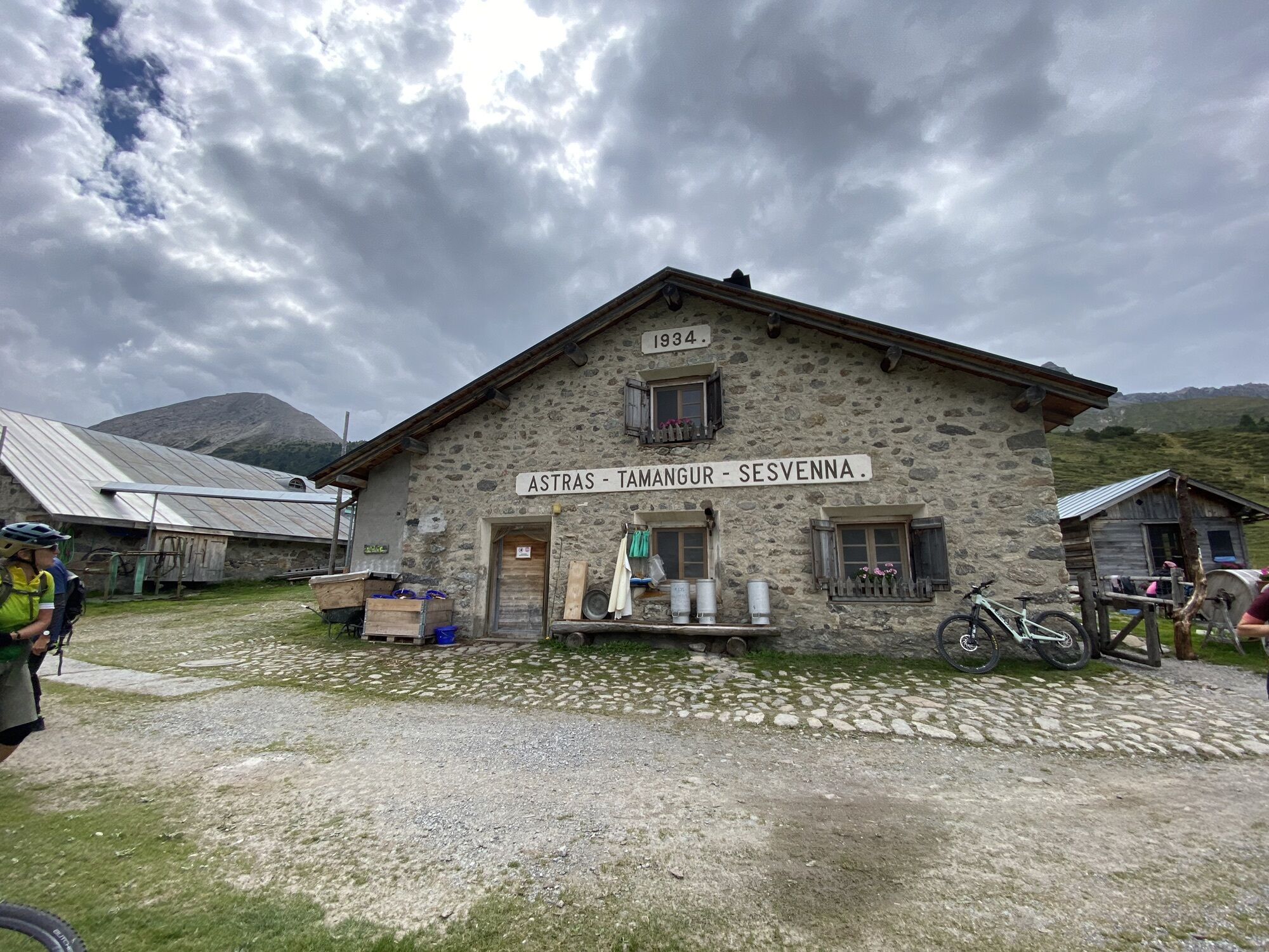
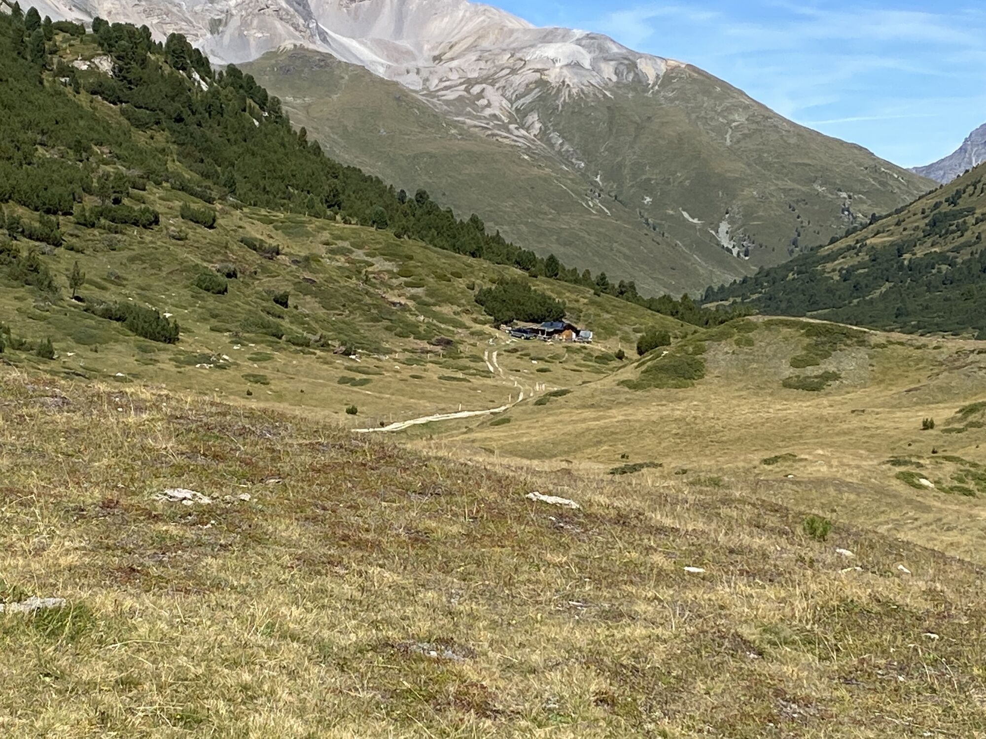
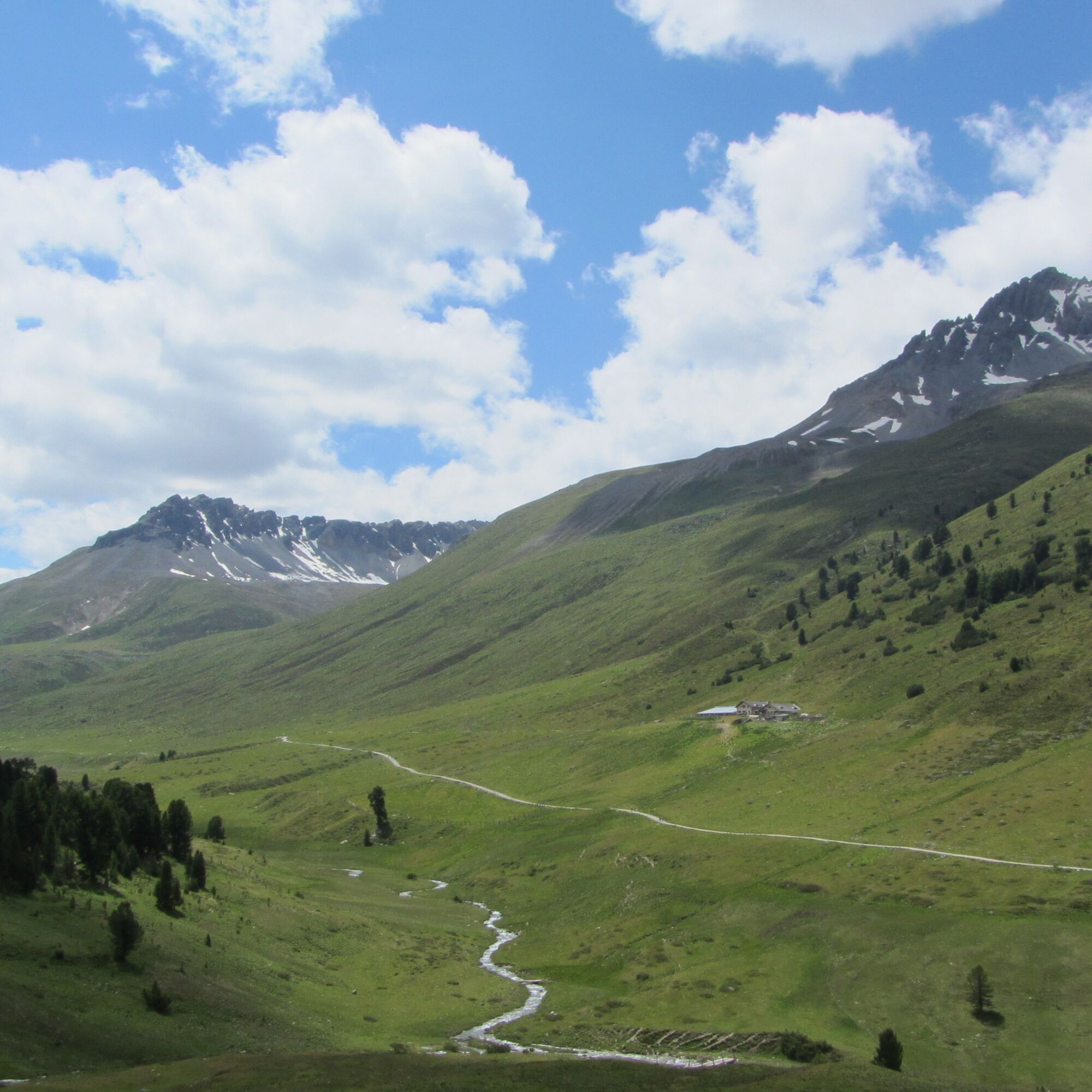
Transfer by PostAuto to Lü. From Lü it goes slightly uphill via the forest road to Alp Champatsch. Then follows a short, steep section to Pass da Costainas, the highest point of this hike. The trail leads through the high valley to Alp Astras (served in summer). Then, on the right side of the valley, it continues with slight ups and downs through the highest European larch forest, God da Tamangur. From point 2018 the forest road descends gently to S-charl, the endpoint of the hike. For this last piece, it is recommended to take the path along the Clemgia. With PostAuto you can get from S-charl to Scuol-Tarasp.

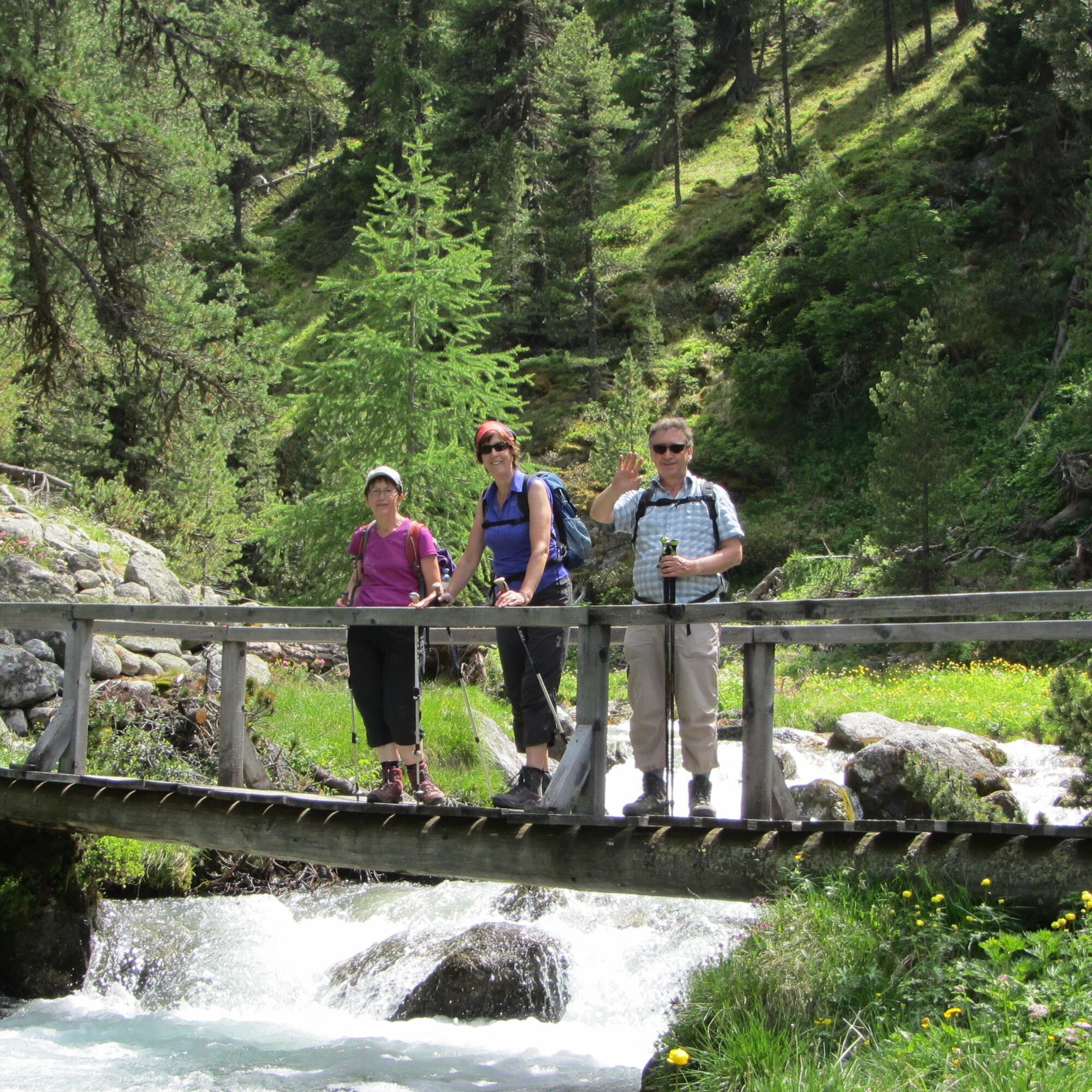
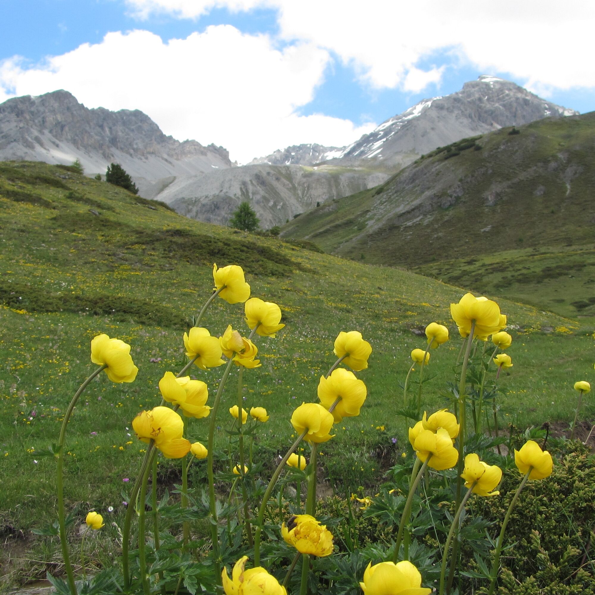

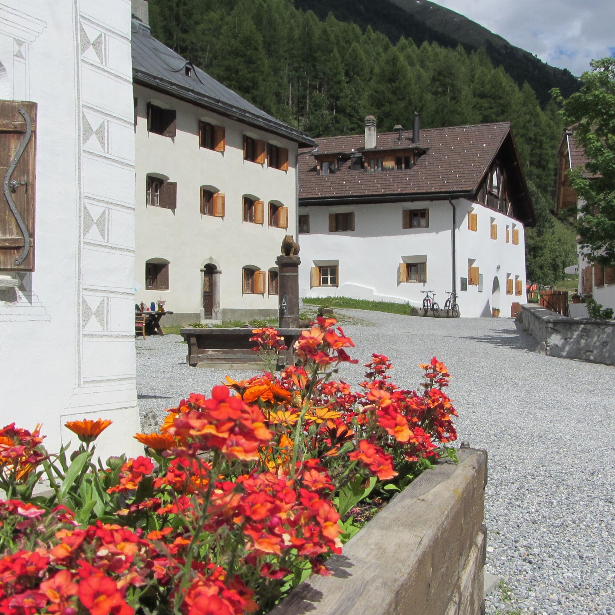

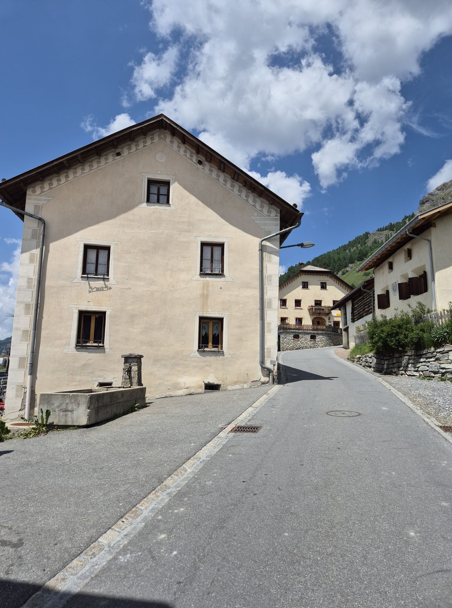
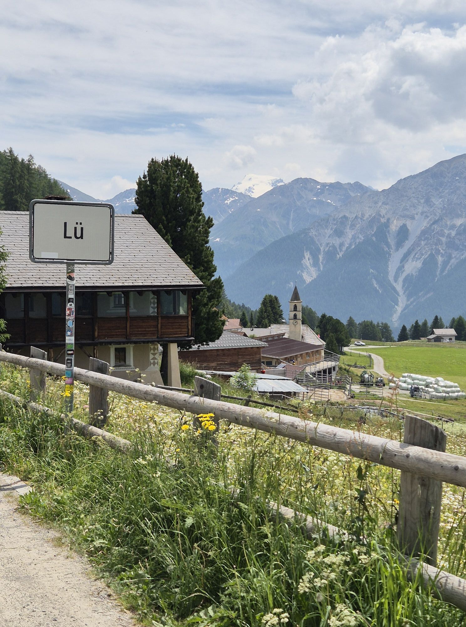
Start at the PostAuto stop Lü, cumün
Follow the path to Alp Champatsch
Ascent to Pass Costainas
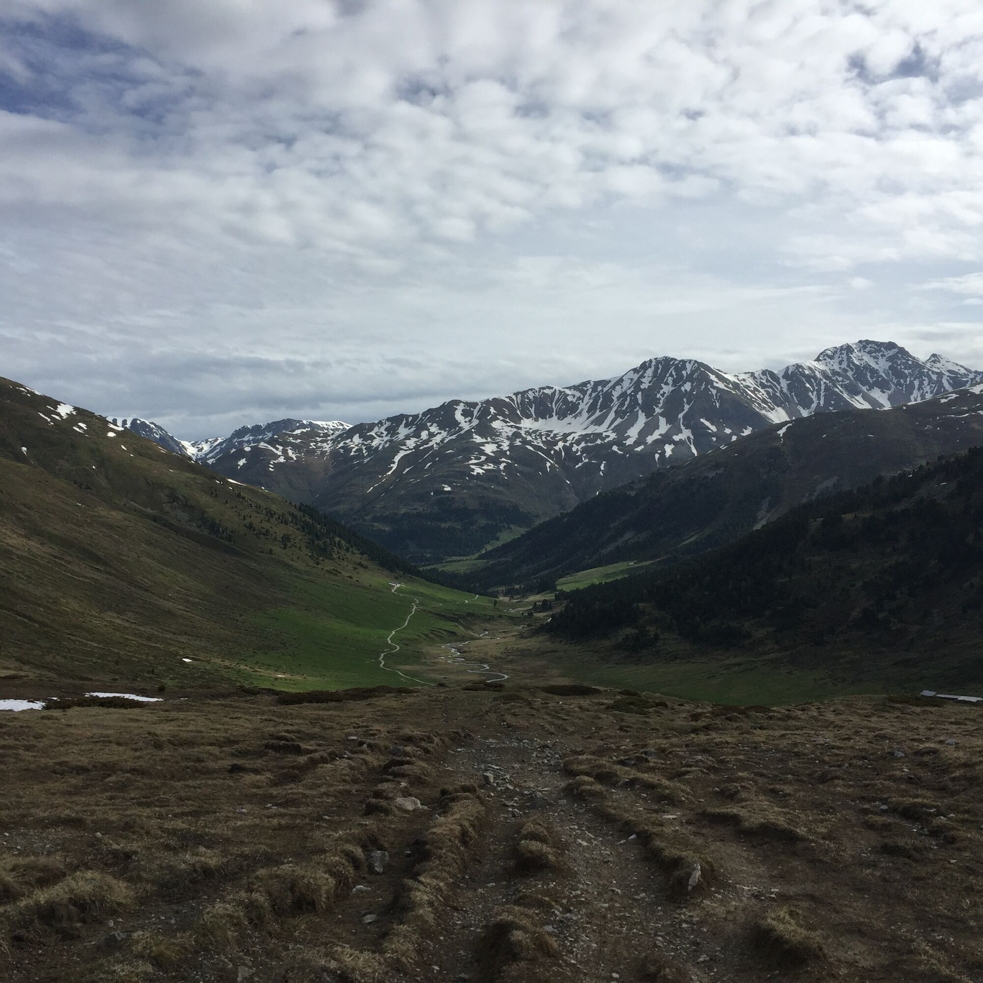
Follow the high valley to Alp Astras
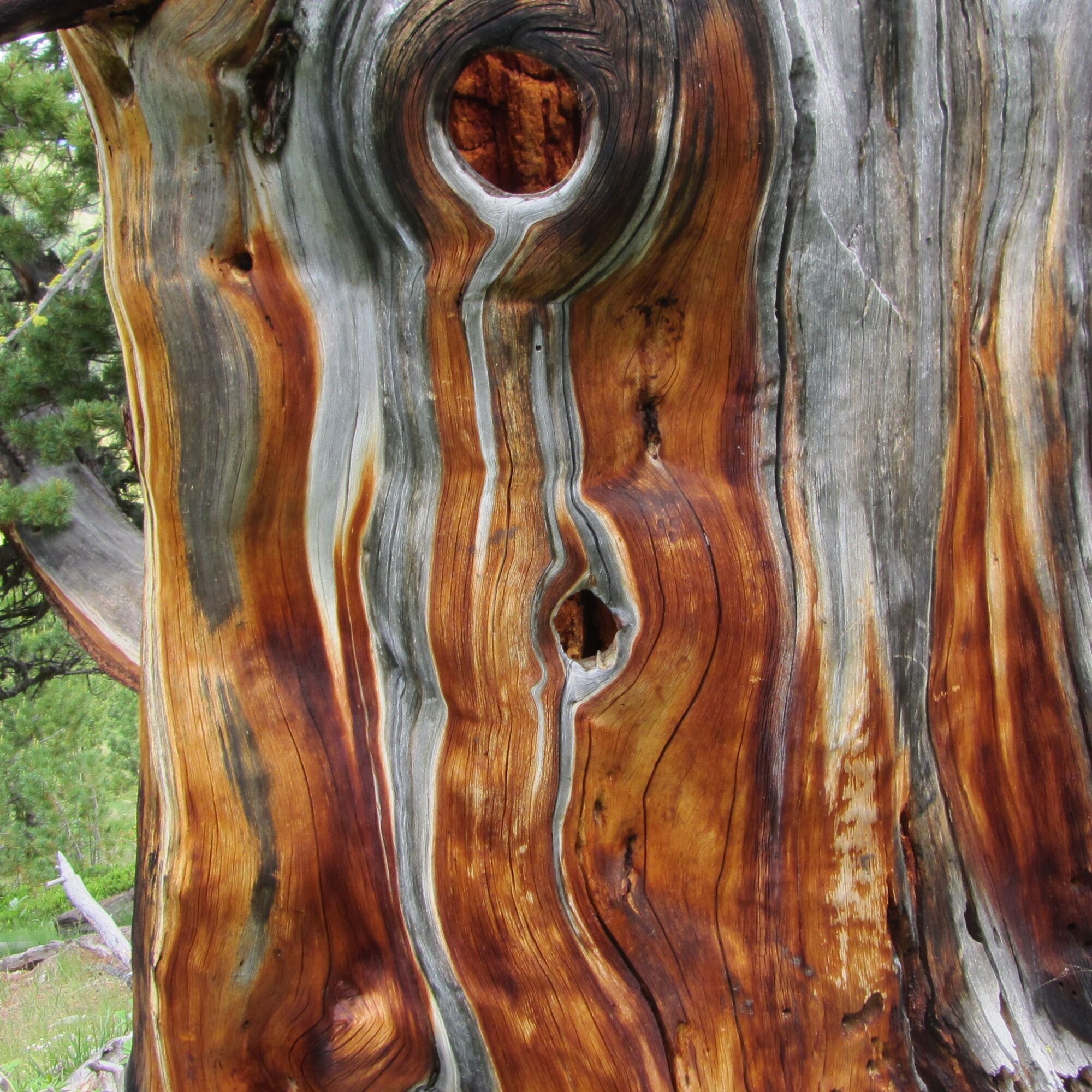
On the right side of the valley through the forest path to point 2018
Follow the forest road to S-charl
Áno
Good footwear, rain and sun protection, drinking bottle, first aid kit.
The route was rated under favorable weather conditions; current weather conditions and forecasts must be strictly observed before starting the route. This hike requires no alpine experience.
Hiking boots are recommended.
Emergency numbers:
144 Emergency, first aid
1414 Mountain rescue REGA
112 International emergency
Lü is located above Fuldera and can be reached by a side road in 10 minutes by car.
By the Rhaetian Railway (from Chur, Landquart/Prättigau or Upper Engadin) hourly to Zernez
By PostAuto from Zernez to the PostAuto stop Fuldera, cumün
Further by PostAuto from Fuldera, cumün to the PostAuto stop Lü, cumün
Free parking at the village entrance of Lü
Besides the numerous dining options (Alp Champatsch, Alp Astras, restaurants in S-charl), a visit to the mining and bear museum at the lower end of the village of S-charl is worthwhile. Families can enjoy the WWF bear experience trail "Senda da l'Uors" between the "Schmelzra" museum and the PostAuto stop "S-charl, Ravitschana" as a perfect end to the day.

Webové kamery z prehliadky
Získajte prehľad
Vždy naživo na mieste s viac ako 9 500 webovými kamerami. bergfex Ako používateľ Pro si teraz môžete pozrieť príslušné webové kamery pre mnohé zájazdy v aplikácii zájazdy z. Môžete si tak priamo prezerať aktuálne podmienky.
Aktivity počas prehliadky


Obľúbené výlety v okolí
-
5,0
Mountain restaurant Plantaptasch (without Lift)
strednáTuristika 3,42 km -
3,6
Easy hiking rout to the top of the Watles Moutain (2.550 m)
strednáTuristika 2,35 km -
4,2
National Park: Margunet
svetloTuristika 7,76 km -
4,5
Rundwanderweg Wattles und Sesvenna
svetloTuristika 16,4 km -
3,4
Sta.Maria, Prà da Vau - Lai da Rims - Alp Sot - Prà da Vau
ťažkéTuristika 14,7 km -
4,5
Tarasp Fontana – Sparsels – Lai Nair (circular route)
svetloTuristika 7,67 km -
4,8
National Park: Grimmels (circular hike)
svetloTuristika 6 km -
5,0
3 Länder Tour Uinaschlucht MTB
ťažkéMountainbike 74,6 km -
4,7
Bergwanderung Schlinig -Seswenahütte
strednáTuristika 13,6 km -
5,0
San Jon – Chamonna Lischana (return)
strednáTuristika 12,0 km
Turistika a stopovanie


Nenechajte si ujsť ponuky a inšpiráciu na ďalšiu dovolenku
Vaša e-mailová adresa bol pridaný do poštového zoznamu.





