


La Plaiv (SchweizMobil Route 315)
Úroveň náročnosti: 3
The La Plaiv region covers the northeastern Upper Engadin between La Punt Chamuesch-ch and S-chanf. Unlike the sophisticated St. Moritz, the area is also referred to as "the other Engadin." Besides culture...
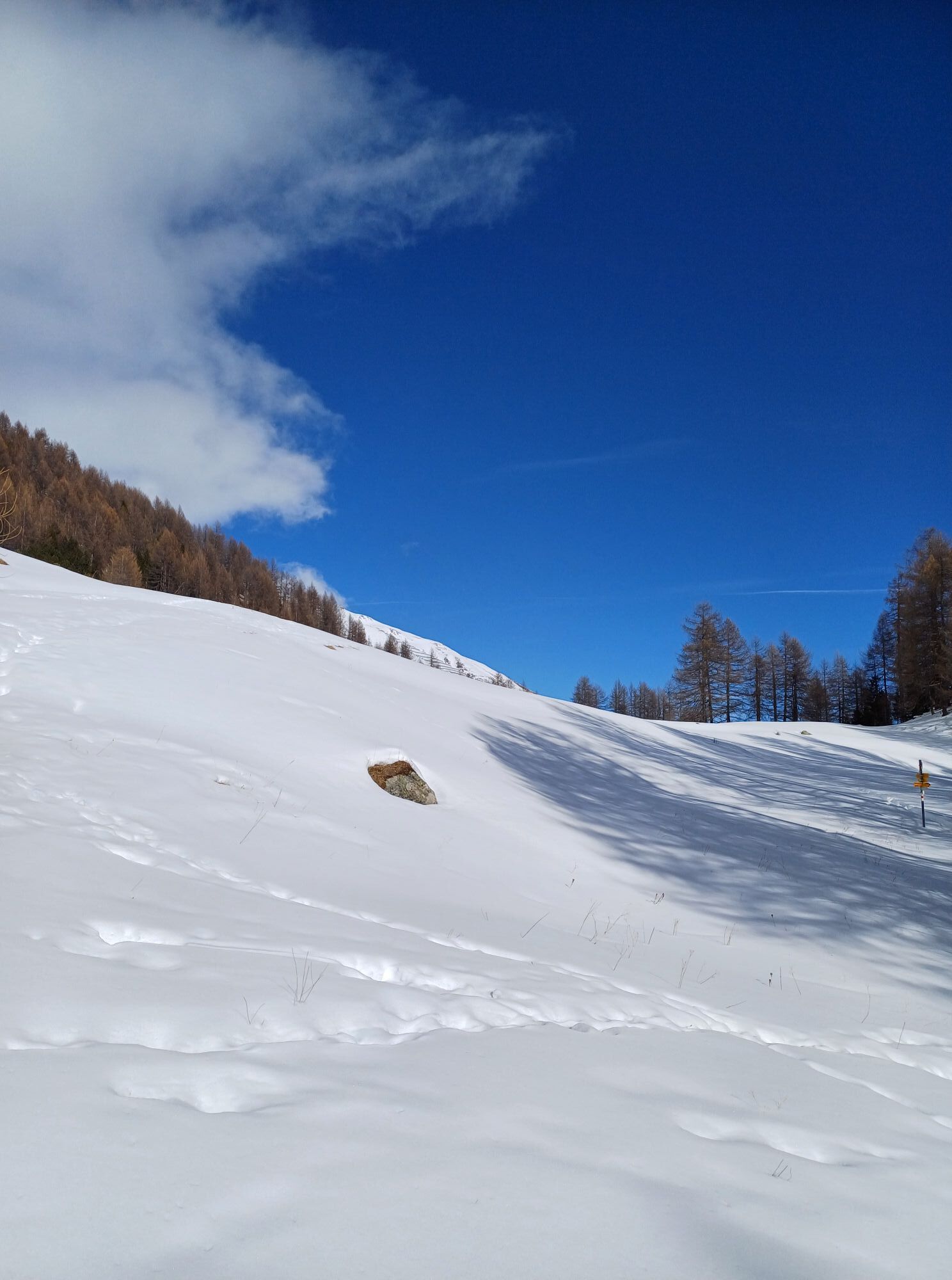
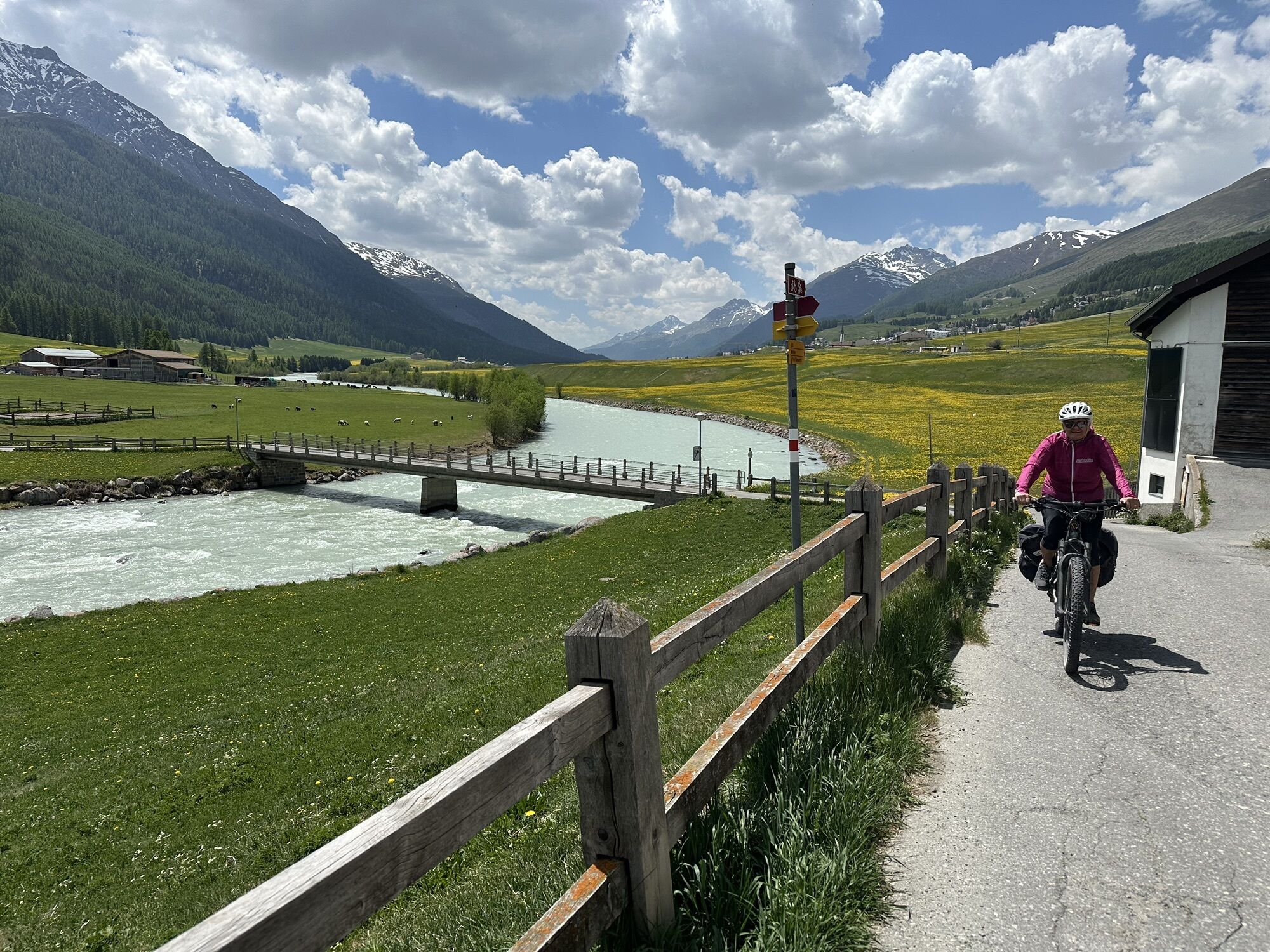
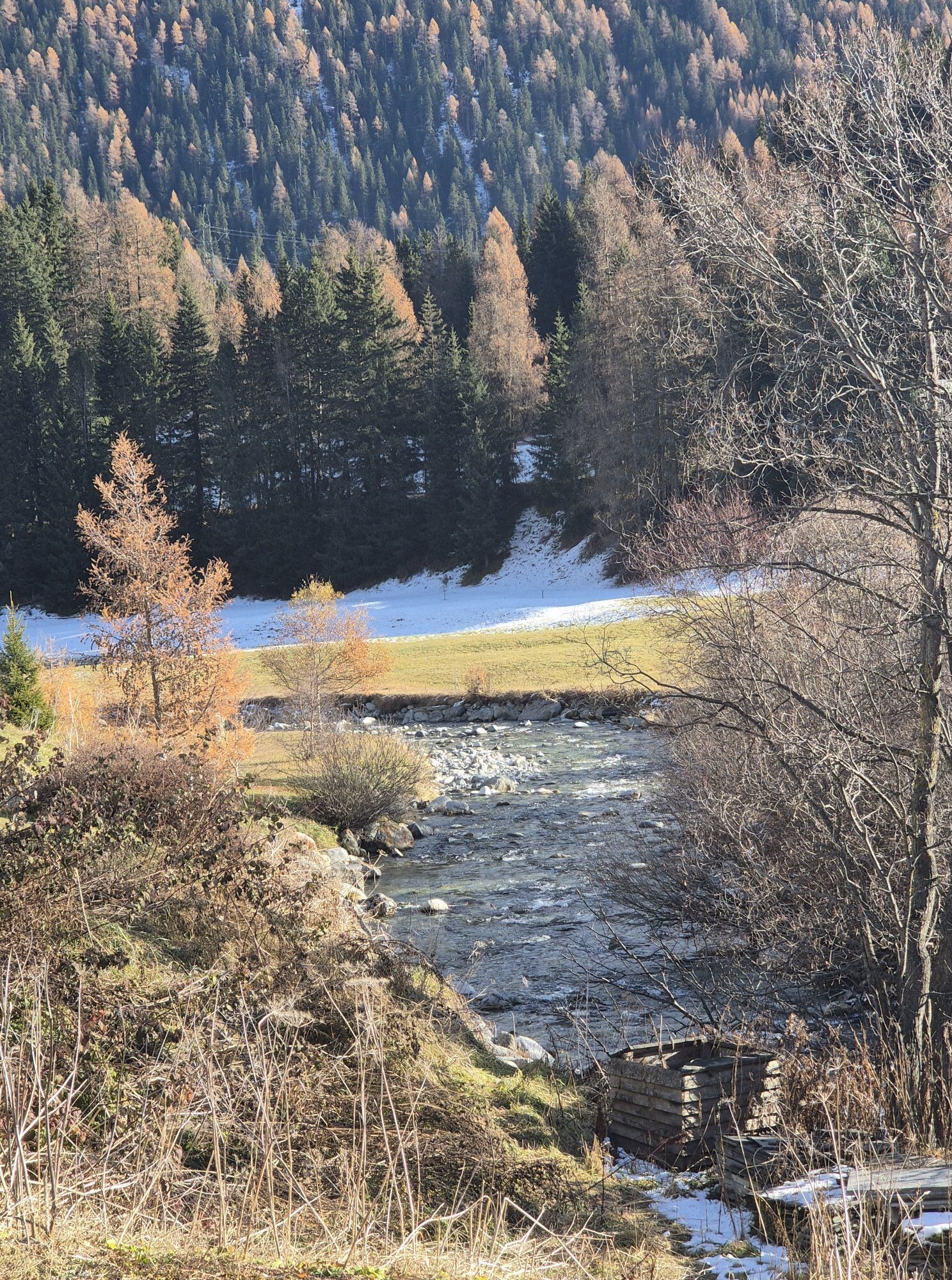
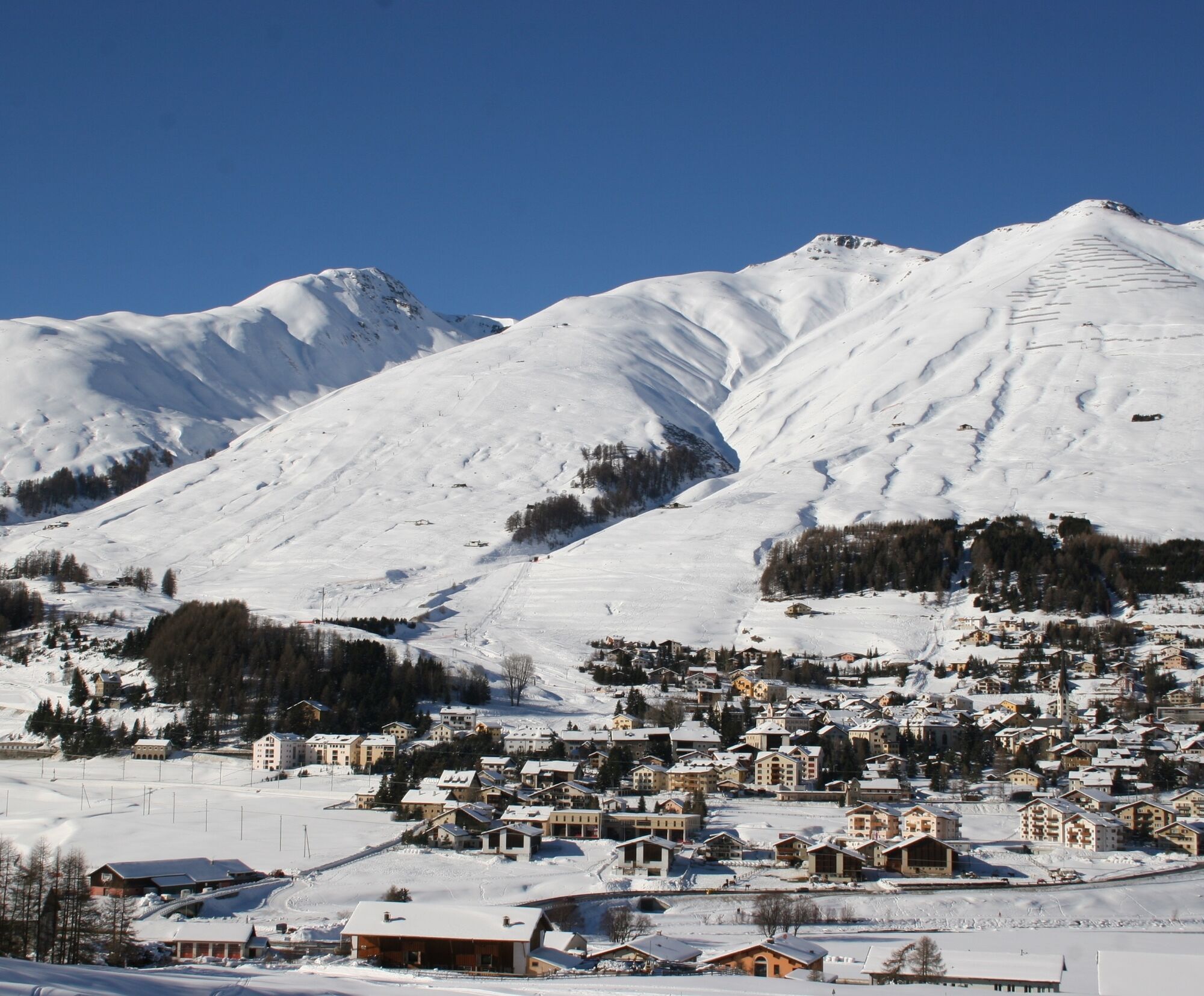
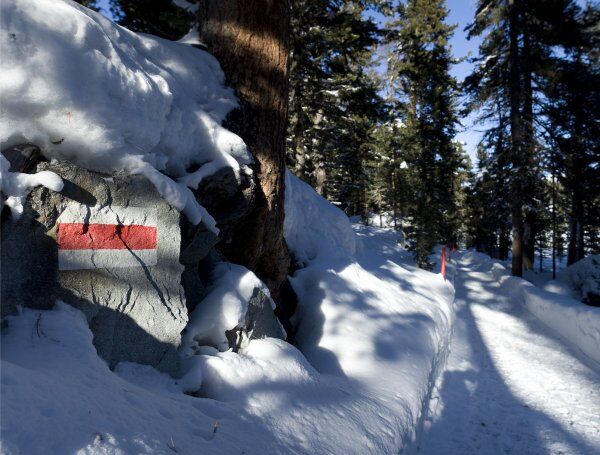
The La Plaiv region covers the northeastern Upper Engadin between La Punt Chamuesch-ch and S-chanf. Unlike the sophisticated St. Moritz, the area is also referred to as "the other Engadin." Besides culture and wellness, winter sports like winter hiking are emphasized here. This beautiful path follows the river from the Inn bridge in La Punt, passing stately Engadin and patrician houses towards Madulain. Pausing along the way is worthwhile: the view turns left up to Piz Kesch, the highest mountain of the Albula Alps (3418 m a.s.l.). Shortly before Madulain, the smallest municipality in the Upper Engadin, the hike crosses the Inn. The route follows the riverside downstream below the village. The path goes through the San Batrumieu floodplain, which is listed in the Federal Inventory of Landscapes and Natural Monuments of National Importance. Just like in Madulain, old and well-preserved Engadin houses also stand in the village center of Zuoz. The typical bay windows, sgraffito decorations, and narrow streets invite exploration. The described path branches off just below the station and soon reaches S-chanf. This village, at the gateway to the Lower Engadin, also exudes an authentic charm with its typical architecture and historic village center. S-chanf lies on the doorstep of the Swiss National Park and at the entrance to the magnificent Val Trupchun, one of the richest valleys in wildlife in all of Europe. From S-chanf, the valley progressively narrows. Passing through the village street and under the railway tracks, you reach the winter hiking trail, which diagonally leads up into the forest towards Susauna. Shortly before Susauna, the broad road leads to Chapalla, a small hamlet of S-chanf. From Chapella, the winter hiking trail is followed above the road to Cinuos-chel-Brail station, the end point of the hike.
Further information
Engadin Tourismus AG
Via Maistra 1
CH-7500 St.Moritz
Phone: +41 81 830 00 01
E-mail: allegra@engadin.ch
Website: www.engadin.ch
Report on winter hiking trails: www.engadin.ch/de/pisten-loipen-wege/winterwanderwege/

La Punt - Zuoz Center Sur En - S-chanf - God Fullun - Chapella - Cinuos-chel station
Áno
Take the RhB to La Punt station or the Engadin bus to the La Punt Krone stop.
Return from Cinuos-chel station by RhB or the Engadin bus from the Cinuos-chel Brail Staziun stop.
Parking behind the Hotel Krone in La Punt Chamues-ch.
3
Webové kamery z prehliadky
Obľúbené výlety v okolí
-
4,8
Circular hike Val Trupchun in the Swiss National Park
strednáTuristika 13,8 km -
5,0
Muottas Muragl - Segantini hut - Pontresina
strednáTuristika 6,46 km -
4,5
Panoramic route Muottas Muragl
svetloTuristika 6,75 km -
Muottas Muragl - Segantini Hütte - Pontresina
strednáTuristika 17,5 km -
5,0
Lej Muragl
strednáTuristika 7,39 km -
4,6
Marathon
strednáBeh na lyžiach 42,9 km -
5,0
Alp Languard - Paradis Hut - Pontresina
svetloTuristika 7,05 km -
Flüelapass – Schwarzhorn (return)
strednáTuristika 7,92 km -
4,8
Alp Languard - Segantini Hut - Muottas Muragl
strednáTrailrunning 6,45 km -
4,5
Muottas Muragl - Fuorcla Muragl - Val Chamuera
strednáTuristika 17,6 km
Turistika a stopovanie


Nenechajte si ujsť ponuky a inšpiráciu na ďalšiu dovolenku
Vaša e-mailová adresa bol pridaný do poštového zoznamu.