






Lavin – Sagliains (return)
Úroveň náročnosti: 1
From the Lavin train station, the path first descends into the village center and follows the signposts towards Chamonna Linard to the western village exit. Passing under the Engadin road and the railway...
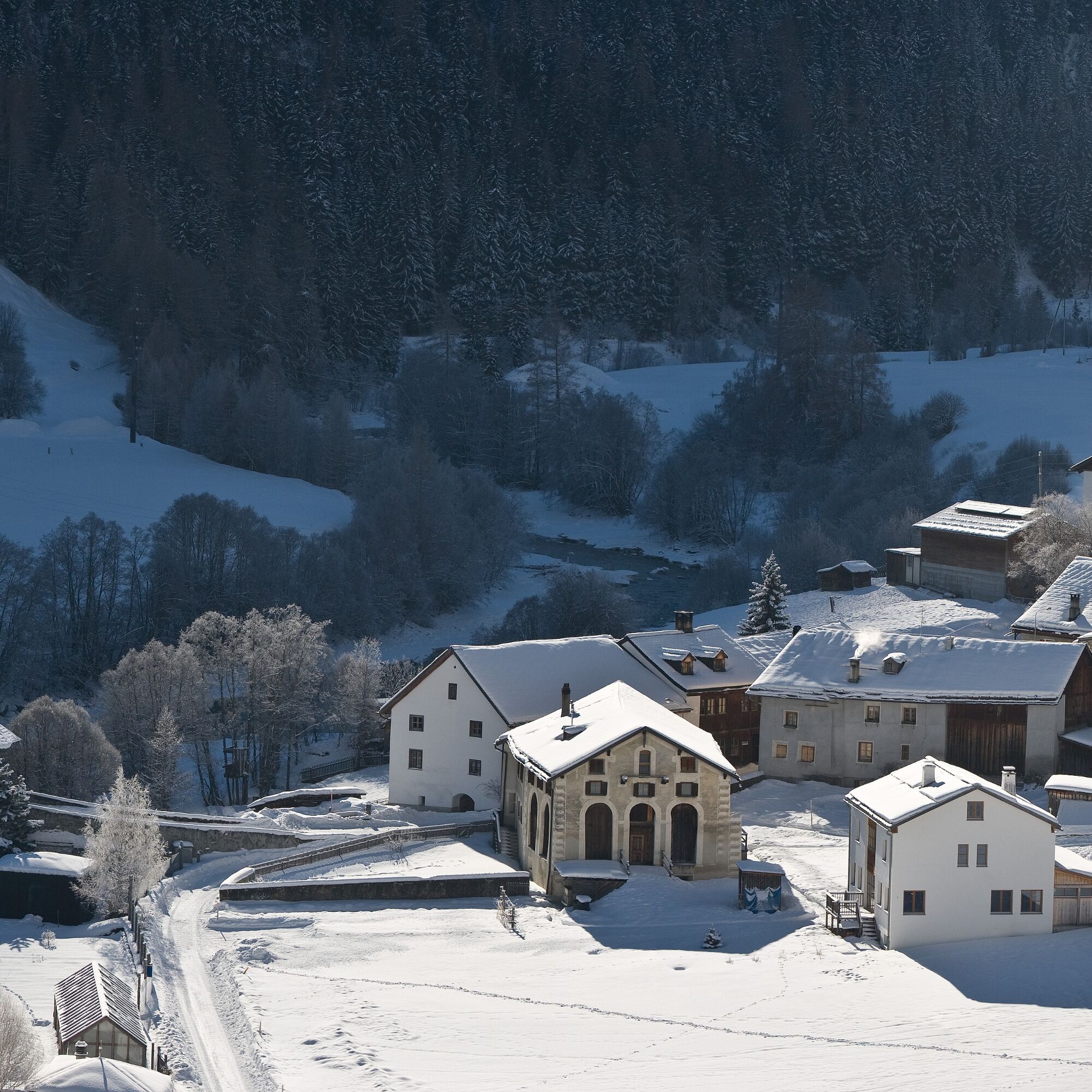
From the Lavin train station, the path first descends into the village center and follows the signposts towards Chamonna Linard to the western village exit. Passing under the Engadin road and the railway tracks, you reach the Crusch plain. The tour continues slightly uphill to the viewpoint above the loading station at the Vereina tunnel. Every 30 or 20 minutes, you can watch the lively activity of loading and unloading car trains at this important Engadin traffic hub. The return route follows the same path.


From the train station to the village center
Follow the signposts towards Chamonna Linard
Continue to the western village exit
Underpass the road and railway tracks to Crusch
Ascending to the viewpoint
Return route same as the outward journey
Áno
High and sturdy hiking boots or winter boots, warm clothing, sun protection, hiking poles, if needed: sled for the descent.
The path is prepared after every snowfall. Please pay attention to the condition reports in the winter sports report. The route was rated under favorable weather conditions; the current snow and weather conditions must be observed before starting.
Emergency call:
144 Emergency, first aid
1414 Mountain rescue REGA
112 International emergency call
Lavin is located directly on the Engadin road H27 (2 minutes driving time from Vereina south portal)
By Rhaetian Railway (from Chur, Landquart/Prättigau, from the Upper Engadin or from Scuol) hourly to Lavin train station
Paid parking spaces at the station in Lavin
1
The name Lavin originates from the Roman word "labi" which means landslides or avalanches. This makes sense when you look up at the steep slopes and gullies of Piz Chapisun, which rises north of the path. Today the slopes are secured by state-of-the-art technology; if you look closely, you can see avalanche blasting masts on the highest visible rocks above the path, which can trigger avalanches remotely.
Získajte prehľad
Vždy naživo na mieste s viac ako 9 500 webovými kamerami. bergfex Ako používateľ Pro si teraz môžete pozrieť príslušné webové kamery pre mnohé zájazdy v aplikácii zájazdy z. Môžete si tak priamo prezerať aktuálne podmienky.
Obľúbené výlety v okolí
-
4,9
Hiking trail Piz Buin - view
strednáTuristika 14,4 km -
4,8
Jöriseen
strednáTuristika 11,3 km -
4,7
Jamtal lodge
strednáTuristika 19,6 km -
5,0
Großer Piz Buin (3.312m), Normalweg 2019 über Ochsentaler Gletscher
ťažkéVysoké turné 24,1 km -
4,2
National Park: Margunet
svetloTuristika 7,76 km -
3,0
Bielerhöhe - Vermuntkopf - Bielerhöhe
strednáTuristika 17 km -
4,8
National park: Zernez – Munt Baselgia – Macun lakes – Alp Zeznina – Lavin
ťažkéTuristika 22,9 km -
4,7
Silvretta Stausee
svetloTuristika 6,22 km -
Ascent of Hohes Rad and stop at the Wiesbadener Hut
ťažkéTuristika 15,8 km -
4,6
Gaschurn, Wiesbadner Hütte
Mountainbike 6,82 km
Turistika a stopovanie


Nenechajte si ujsť ponuky a inšpiráciu na ďalšiu dovolenku
Vaša e-mailová adresa bol pridaný do poštového zoznamu.





