
La Vélomaritime® - EuroVelo4 - From Fort Mahon to Mers les Bains
svetlo
Získajte túto prehliadku v mobilnom telefóne
La Vélomaritime® - EuroVelo4 - From Fort Mahon to Mers les Bains
svetlo
Mountainbike
79,99
km
Naskenujte kód QR a spustite navigáciu v aplikácii bergfex


Turistika a stopovanie





La Vélomaritime® - EuroVelo4 - From Fort Mahon to Mers les Bains
svetlo
Vzdialenosť
80,0
km
Trvanie
04:04
h
Ascent
139
hm
Hladina mora
3 -
96
m
Stiahnutie skladby
La Vélomaritime® - EuroVelo4 - From Fort Mahon to Mers les Bains
svetlo
Mountainbike
79,99
km
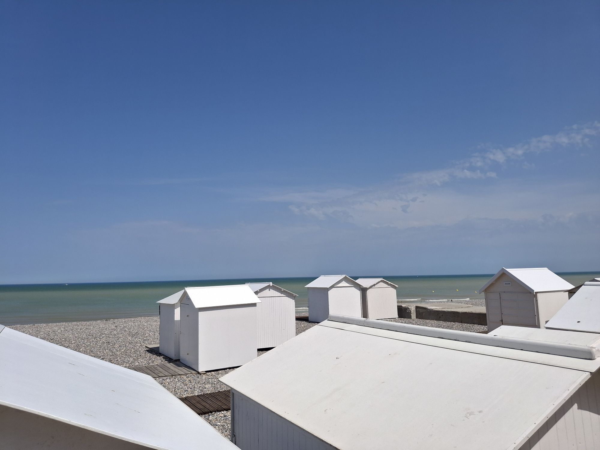
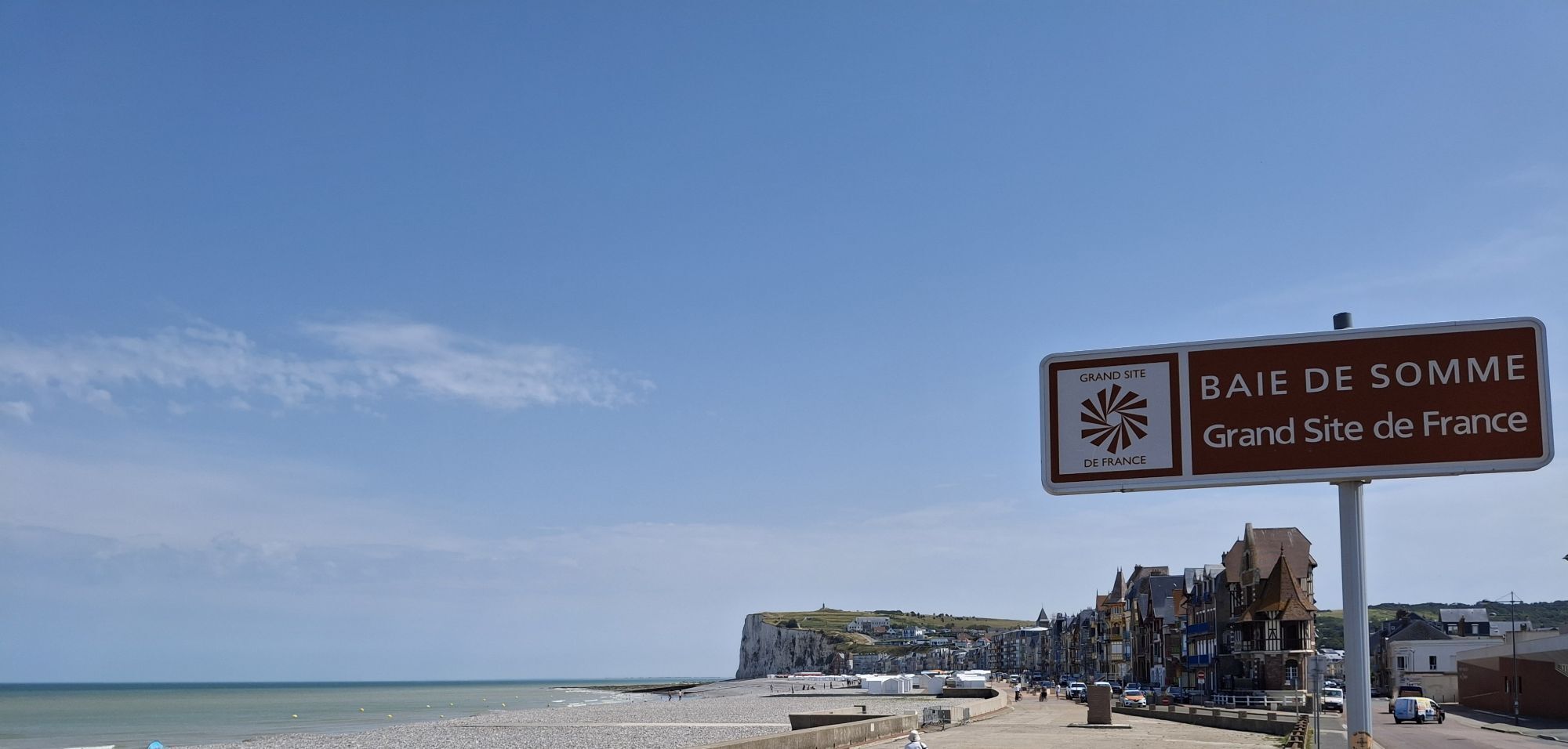
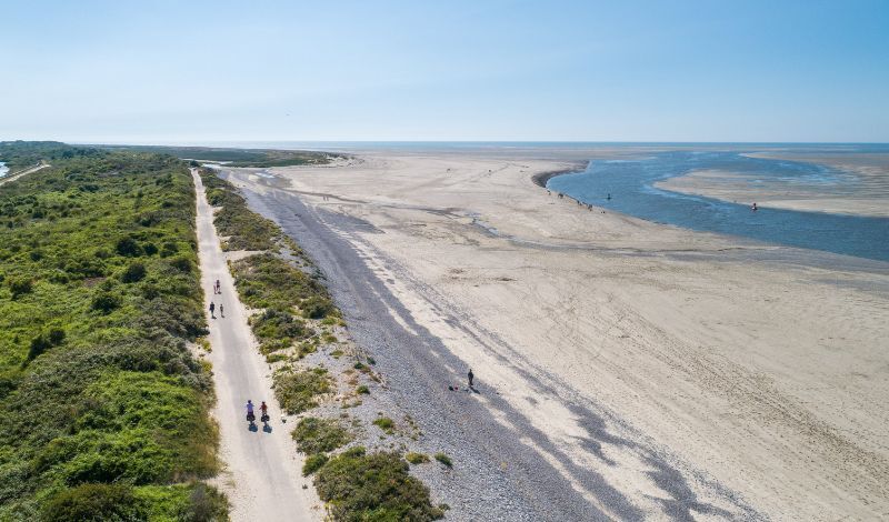
The proposed route allows you to follow the Somme coastline as closely as possible by following La Vélomaritime® - EuroVélo 4. It is a European route that continues into Pas-de-Calais and Seine-Maritime.The...
Opis
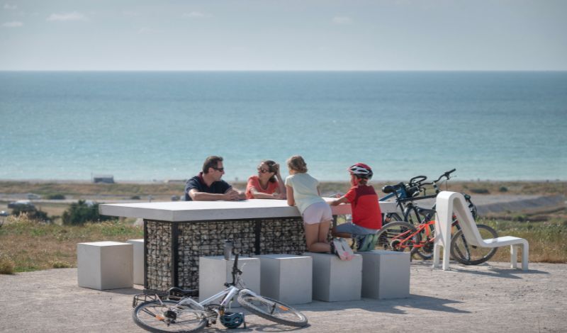
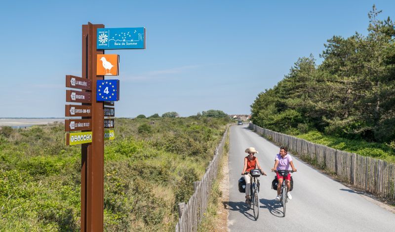
The proposed route allows you to follow the Somme coastline as closely as possible by following La Vélomaritime® - EuroVélo 4. It is a European route that continues into Pas-de-Calais and Seine-Maritime. The entire route, called La Vélomaritime in France, connects Dunkirk and Roscoff. Continuity is ensured by identical signage throughout the route but the facilities vary: bike lanes, bike strips, greenways and shared roads. Each department, each community works to improve and maintain the route.
New in 2023 in the Somme: opening of 2 cycling sections: 5.8 km of bike lanes between Fort-Mahon and Pont à Cailloux towards Berck-sur-Mer. 3 km of bike lanes between Saint-Firmin-le-Crotoy and the entrance to the Marquenterre Park.
Tréport - Mers-les-Bains station located 140m from the vélomaritime in Mers-les-Bains. Along the route are the stations of Rue, Le Crotoy, Noyelles-sur-Mer, Saint-Valery-sur-Somme and Cayeux-sur-Mer.
New in 2023 in the Somme: opening of 2 cycling sections: 5.8 km of bike lanes between Fort-Mahon and Pont à Cailloux towards Berck-sur-Mer. 3 km of bike lanes between Saint-Firmin-le-Crotoy and the entrance to the Marquenterre Park.
Tréport - Mers-les-Bains station located 140m from the vélomaritime in Mers-les-Bains. Along the route are the stations of Rue, Le Crotoy, Noyelles-sur-Mer, Saint-Valery-sur-Somme and Cayeux-sur-Mer.
Trasa
Chapelle Notre-Dame des Pins
(16 m)
Miesto uctievania
9,4 km
Monchaux
(6 m)
Zúčtovanie
12,6 km
Saint-Firmin
(7 m)
Zúčtovanie
24,9 km
Le Mont Blanc
(30 m)
Summit
42,9 km
Le Hourdel
(8 m)
Zúčtovanie
51,1 km
Église Saint-Martin
(25 m)
Miesto uctievania
78,1 km
Mers-les-Bains
(5 m)
Dedina
78,3 km
Trasa
La Vélomaritime® - EuroVelo4 - From Fort Mahon to Mers les Bains
svetlo
Mountainbike
79,99
km
Le Pont À Cailloux
(6 m)
Zúčtovanie
0,3 km
Fort-Mahon-Plage
(10 m)
Dedina
6,5 km
Chapelle Notre-Dame des Pins
(16 m)
Miesto uctievania
9,4 km
Le Bois Dormant
(11 m)
Reštaurácia
10,2 km
Anantaya Thaï Food
(10 m)
Reštaurácia
11,3 km
Monchaux
(6 m)
Zúčtovanie
12,6 km
La Garinière
(8 m)
Reštaurácia
20,0 km
Le Bout des Crocs
(6 m)
Zúčtovanie
21,5 km
Au Relais de La Maye
(7 m)
Reštaurácia
24,8 km
Saint-Firmin
(7 m)
Zúčtovanie
24,9 km
La Bassée
(6 m)
Zúčtovanie
26,1 km
Le Moulin
(4 m)
Reštaurácia
41,4 km
Le Mont Blanc
(30 m)
Summit
42,9 km
Le Parc Aux Huitres
(8 m)
Reštaurácia
51,0 km
Hôtel Restaurant Le Parc aux Huîtres
(8 m)
Reštaurácia
51,0 km
Le Hourdel
(8 m)
Zúčtovanie
51,1 km
La Pointe du Hourdel
(8 m)
Reštaurácia
51,2 km
Cayeux-sur-Mer
(8 m)
Dedina
58,0 km
Hautebut
(8 m)
Zúčtovanie
66,4 km
Église Saint-Martin
(25 m)
Miesto uctievania
78,1 km
Mers-les-Bains
(5 m)
Dedina
78,3 km
Le Tréport – Mers-les-Bains
(8 m)
Železničná stanica
79,7 km
Le Tréport
(6 m)
Dedina
79,9 km
Autor
Poskytuje Somme Tourisme
Prehliadku La Vélomaritime® - EuroVelo4 - From Fort Mahon to Mers les Bains zabezpečuje outdooractive.com.

Naposledy sledované
Pred 2 týždňami

Ďalšie informácie a tipy
Ďalšie informácie
Zatiaľ žiadne recenzie
Obľúbené výlety v okolí
-
Circuit vélo – Gravelot
strednáCyklistika 36,8 km -
The Baie de Somme coastal path
svetloTuristika 51,3 km -
The Hâble d'Ault Bird Reserve
svetloTuristika 6,05 km -
From Abbeville to Saint-Valery-sur-Somme in the Somme Valley
svetloTuristika 16,2 km -
Les Crocs - around the Marquenterre
svetloTuristika 15,8 km -
Circuit vélo – Tour de Baie
svetloCyklistika 30,6 km -
The Tufa Crosses: Ercourt - Franleu
svetloCestný bicykel 55,9 km -
Walk in Saint-Valery-sur-Somme
svetloTuristika 7,10 km -
Mésange Circuit
svetloCestný bicykel 38,4 km -
La Trie Enchantée
svetloTuristika 12,3 km
Turistika a stopovanie

Viac ako 550.000 návrhov výletov, podrobné mapy a intuitívny plánovač trás robia z aplikácie povinnú výbavu pre všetkých nadšencov prírody.

Nenechajte si ujsť ponuky a inšpiráciu na ďalšiu dovolenku
Prihlásiť sa k odberu noviniek
Chyba
Vyskytla sa chyba. Prosím, skúste to znova.
Ďakujeme za vašu registráciu
Vaša e-mailová adresa bol pridaný do poštového zoznamu.
Zájazdy po celej Európe
Rakúsko
Švajčiarsko
Nemecko
Taliansko
Slovinsko
Francúzsko
Holandsko
Belgicko
Poľsko
Lichtenštajnsko
Česko
Slovensko
španielsko
Hrvaška
Bosna a Hercegovina
Luxembursko
Andorra
Portugalsko
Island
Spojené kráľovstvo
Írsko
Grécko
Albánsko
Severné Macedónsko
Malta
Nórsko
Čierna Hora
Moldavsko
Kosovo
Maďarsko
San Maríno
Rumunsko
Estónsko
Lotyšsko
Bielorusko
Cyprus
Litva
Srbsko
Bulharsko
Monako
Dánsko
Švédsko
Fínsko





