


Road bike - Tour de Willingen

Willingen - Schwalefeld - Usseln - Titmaringhausen - Referinghausen -Deifeld - Küstelberg -Glindfeld - Medebach - Münden - Neukirchen - Braunshausen - Dreislar - Hesborn - Liesen - Züschen - Neuastenberg...
Willingen - Schwalefeld - Usseln - Titmaringhausen - Referinghausen -Deifeld - Küstelberg -Glindfeld - Medebach - Münden - Neukirchen - Braunshausen - Dreislar - Hesborn - Liesen - Züschen - Neuastenberg - Altastenberg - Großes Bildchen - Siedlinghausen - Brunskappel - Wulmeringhausen - Assinghausen - Bruchhausen - Willingen

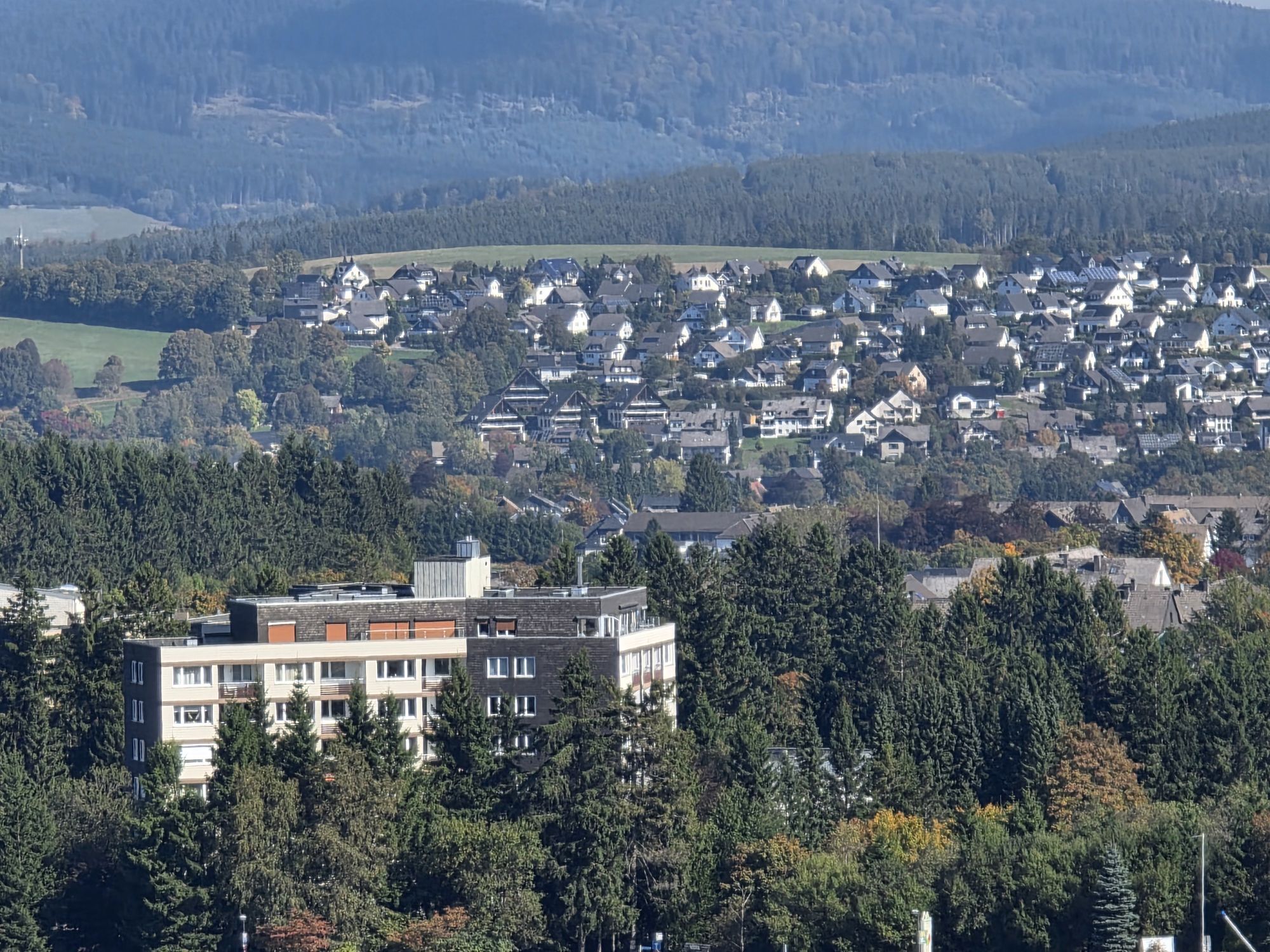
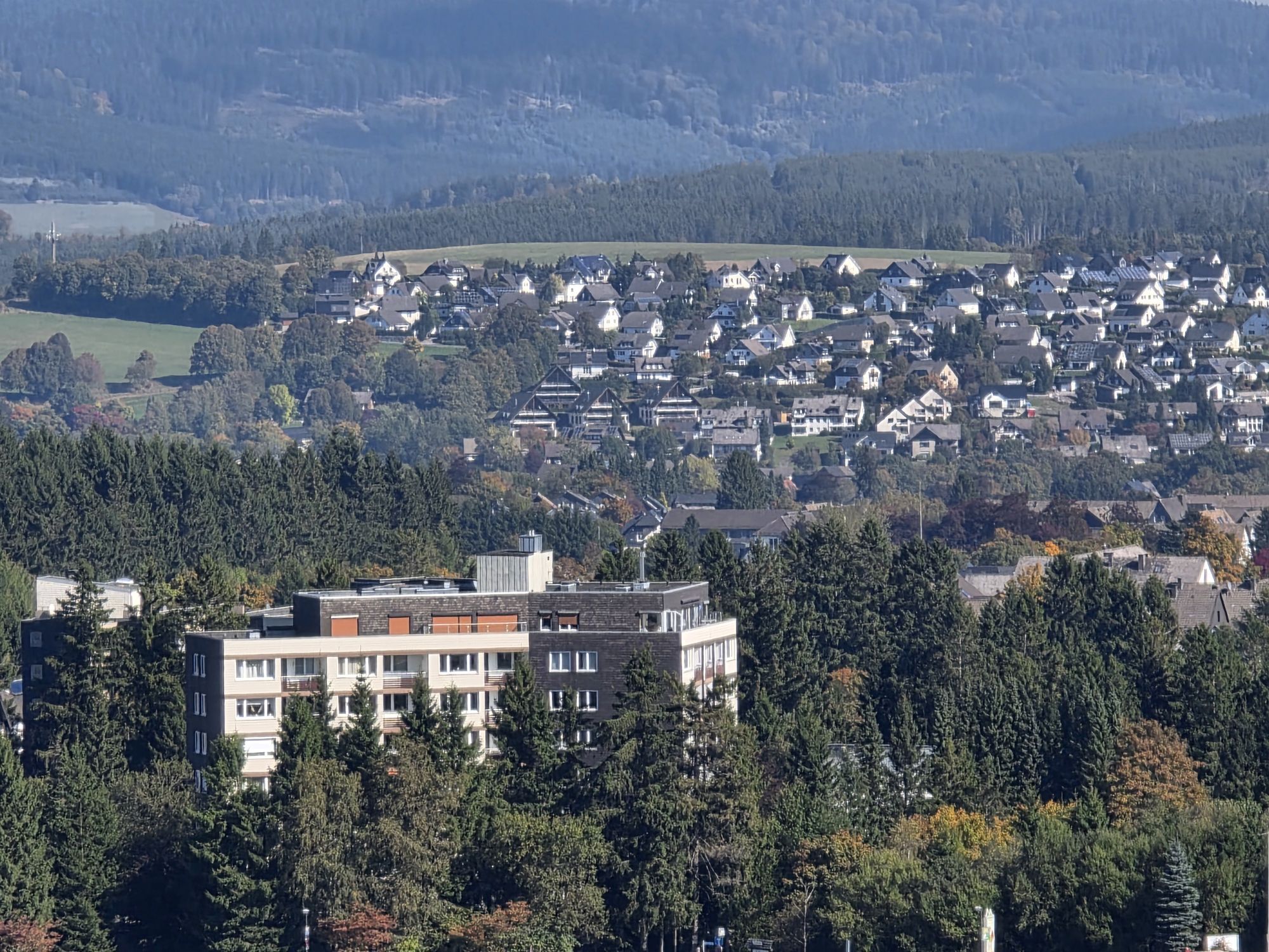
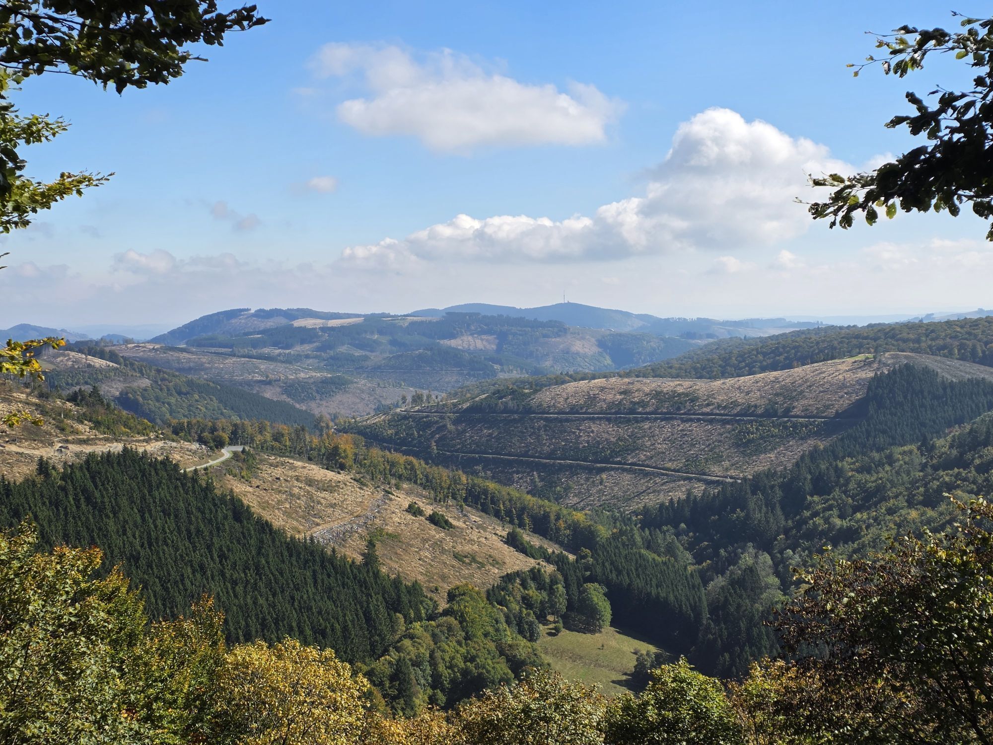
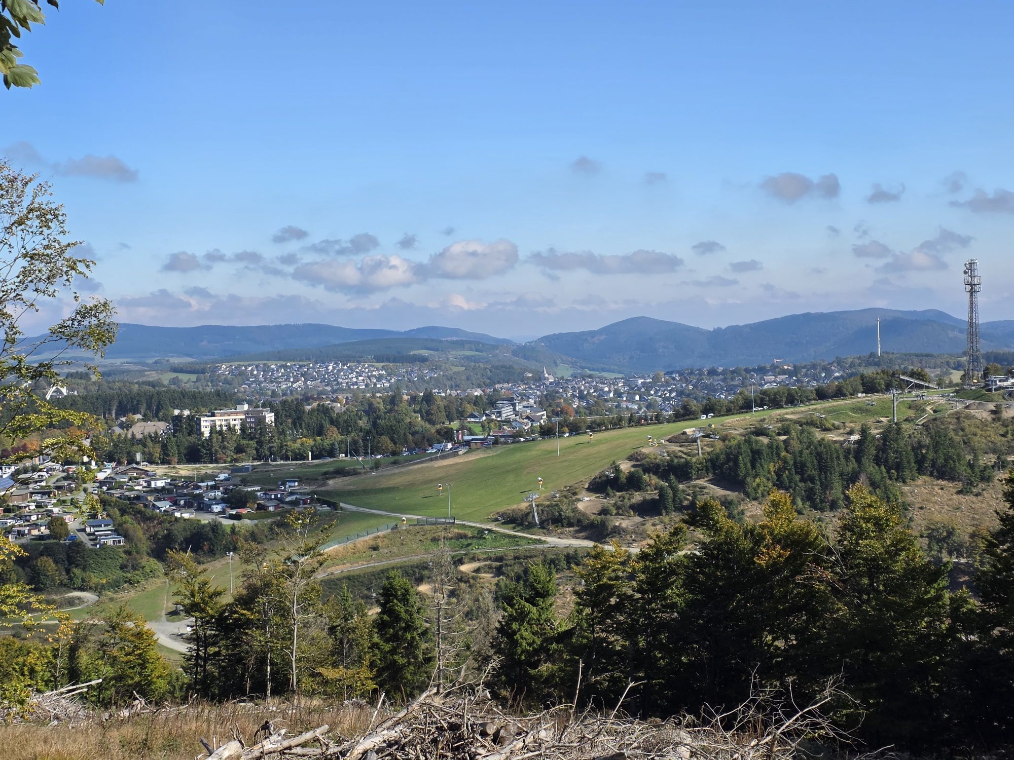
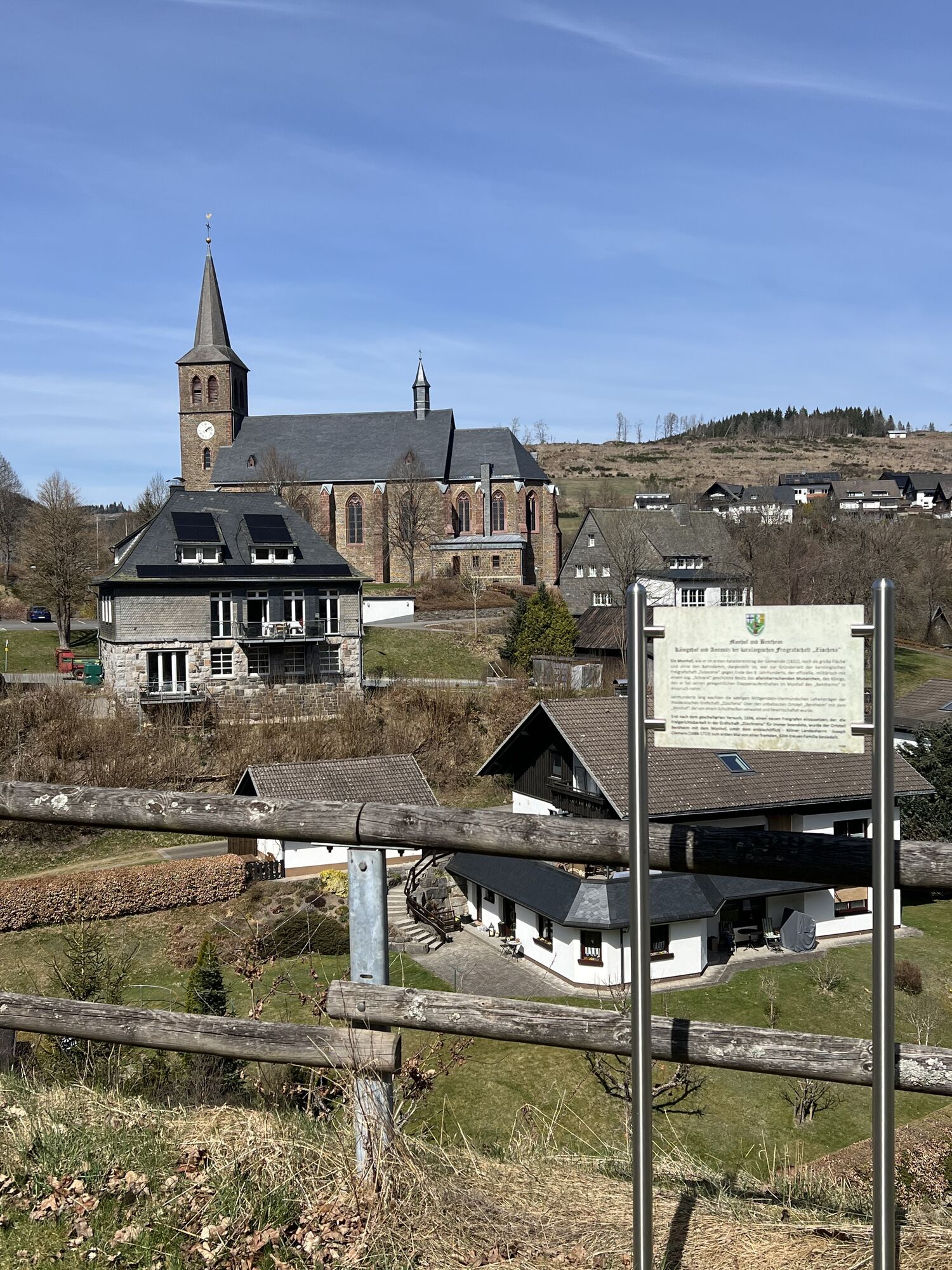
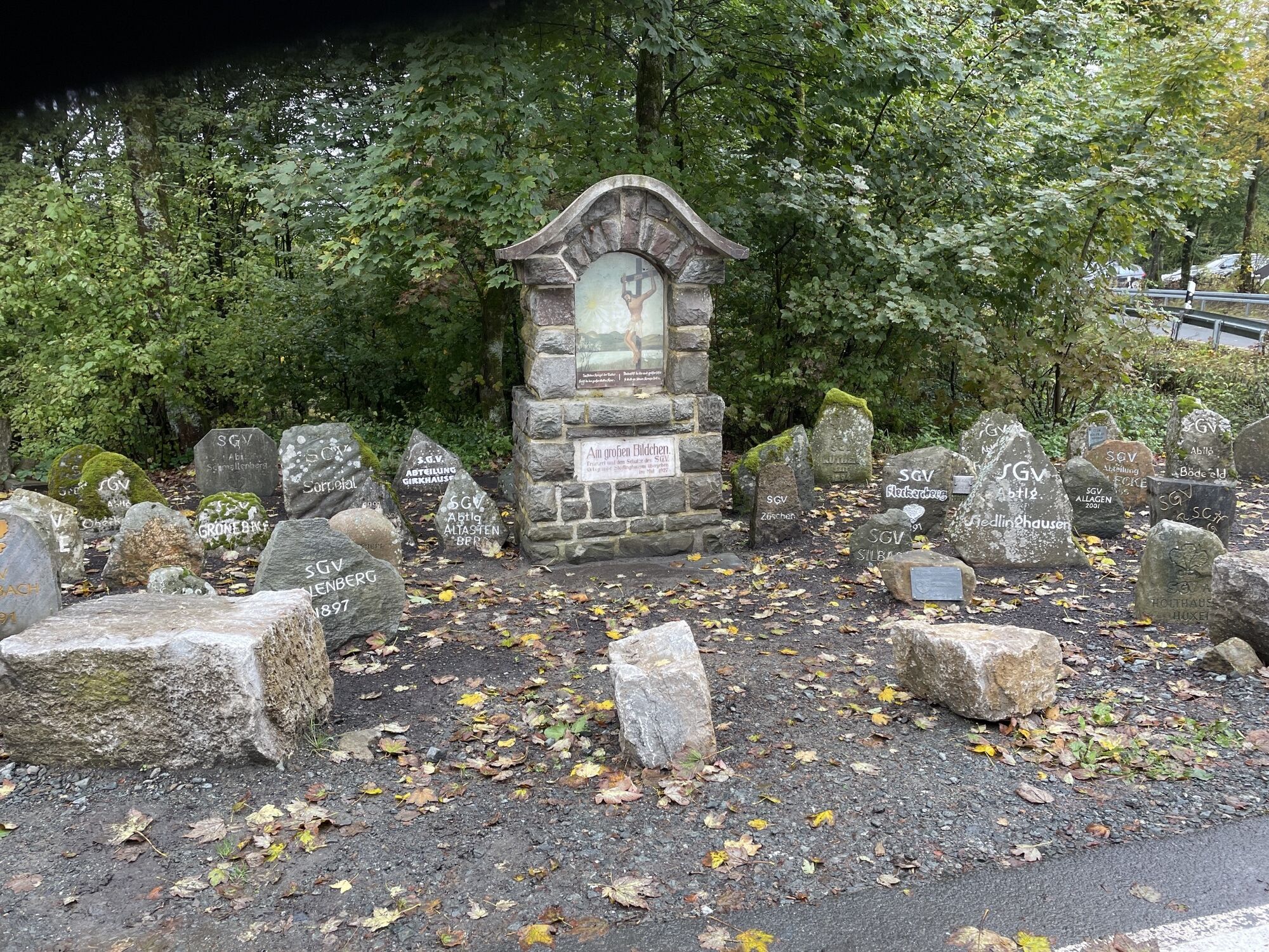
After starting at the visitor center at the Lagunenbad, we first roll downhill to Schwalefeld and should have performed a function test of the brakes beforehand. From there, heading towards Rattlar and Usseln, the typical 9% inclines and descents of the route begin. In Usseln, the road turns right, leads into a narrow paved forest path, and takes us past the Diemel spring between Pön and Kalied to Titmaringhausen. Similar small mountain roads can be found in the Pyrenees. On a panoramic valley road, we then roll to Referinghausen, to continue on the so-called "Hochsauerland-Höhenstraße" toward Küstelberg. On the approximately 7 km long moderate incline section, it is worth taking a look at the Upland mountains on the right, the Hochsauerland plateau ahead of us, and the Küstelberg castle hill on the left. We pass it and literally "shoot" down the newly paved "strada" to Medebach and see the Kellerwald shimmering in the distance. Behind Medebach, we pass through a 25 km long rolling southern loop to Liesen. For the 7 km to Züschen, a newly created bike path next to the federal road is available, where we then climb on a narrow forest road via Mollseifen into the Asten massif and to Altastenberg. Time should be taken for a detour to the "Kahler Asten," with a magnificent view as far as the Ruhr area. A kiosk invites you to take a break, and the wind vest should be closed before departure to protect against the driving wind. Via Neuastenberg, we pass the "Land of 1000 Mountains" and reach the junction "Großes Bildchen," where an open mountain time trial ends every September, which starts in Siedlinghausen. We face a 20 km long wonderful descent past the dammed water of the Neger, through forest and meadow zones to Wulmeringhausen. From there, a few "Helligen" still need to be conquered - compared to the classic race "Tour of Flanders" - before the Hochheideturm in Willingen signals the end of the route: from Wulmeringhausen into the Ruhr valley to Assinghausen and from there in 2 hairpin bends to Bruchhausen. Our effort is rewarded with the view of the imposing Bruchhauser Steine, which accompany us to the Rhine-Weser watershed with the "Feuereiche." After a short dash to Brilonwald, we reach the 5 km distant town boundary of Willingen via the federal road. From there, we roll back to our starting point, the visitor center with the Lagunenbad and shower facilities. The Tour de Willingen circled the Willingen mountain massif, touched the Medebach bay, conquered the Asten high plateau, and led us past the prehistoric cult site "Bruchhauser Steine" back again.
Áno
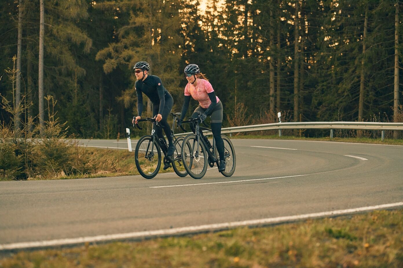
Wearing a bicycle helmet should be self-evident for all cyclists. Check before the ride that your bike is in perfect condition. For demanding routes, we recommend packing plenty of drinks and snacks.
Throughout the entire region (Soest district, Hochsauerland district, Märkischer district, Olpe district and Siegen-Wittgenstein district), a rescue point system is installed. Rescue points can be found, among other places, on the information boards at the nodes of the South Westphalia cycle network.
Tourist Information Willingen,
From Bremen/Münster: A1 to Dortmund/Unna - A44 to Werl junction - A445/A46 to Autobahn end Bestwig - B7 towards Brilon - after Nuttlar L 743 to Olsberg/Elleringhausen - B251 to Willingen
From Hamburg/Hanover: A2 to Bielefeld, A33 towards Paderborn to Autobahn end - B480 to Brilon - B251 to Willingen
From Frankfurt: A5 to Gießen-Südkreuz - Gießen ring to Marburg - Frankenberg - Korbach - B251 to Willingen From Munich/Würzburg: A7 towards Kassel - A44 to exit Zierenberg - B251 Korbach - Willingen
From Dortmund: A44 to Werl junction - A445/A46 to Autobahn end Bestwig - B7 towards Brilon - after Nuttlar L 743 to Olsberg/Elleringhausen - B251 to Willingen From Kassel: A44 to exit Zierenberg - B251 Korbach - Willingen
You can easily reach both Willingen and the Usseln district by train. Willingen station (Upland) Intercity/ICE stops: Dortmund, Hagen, Marburg, Warburg, Kassel-Wilhelmshöhe. Current timetables and tickets are available on the Deutsche Bahn website.
You will find sufficient parking options in Willingen.
More information at www.bike-arena.de
Visiting the Medebach bay, the Asten massif with the Hochsauerland peaks and the Bruchhauser Steine are among the highlights of the route.
Webové kamery z prehliadky
-
Funpark/Osthang
-
Funpark Tele
-
Talstation Ettelsberg-Seilbahn
-
Talstation Ettelsberg-Seilbahn
-
Talstation Ettelsberg-Seilbahn
-
Talstation Ettelsberg-Seilbahn
-
Talstation Ettelsberg-Seilbahn
-
Brembergkopf
-
Kurhotel Hochsauerland 2010
-
Kurhotel Hochsauerland 2010
-
Kurhotel Hochsauerland 2010
-
Kurhotel Hochsauerland 2010
-
Brembergkopf
-
Brembergkopf
-
Brembergkopf
-
Brembergkopf
-
Postwiese Neuastenberg
-
Postwiese Neuastenberg
-
Postwiese Neuastenberg
-
Postwiese Neuastenberg
-
Postwiese Neuastenberg
-
Postwiese Neuastenberg
-
Sternrodt Skilift
-
Bödefeld Hunaulift
-
AVENTURA SpielBerg
-
AVENTURA SpielBerg
-
AVENTURA SpielBerg
-
AVENTURA SpielBerg
-
AVENTURA SpielBerg
-
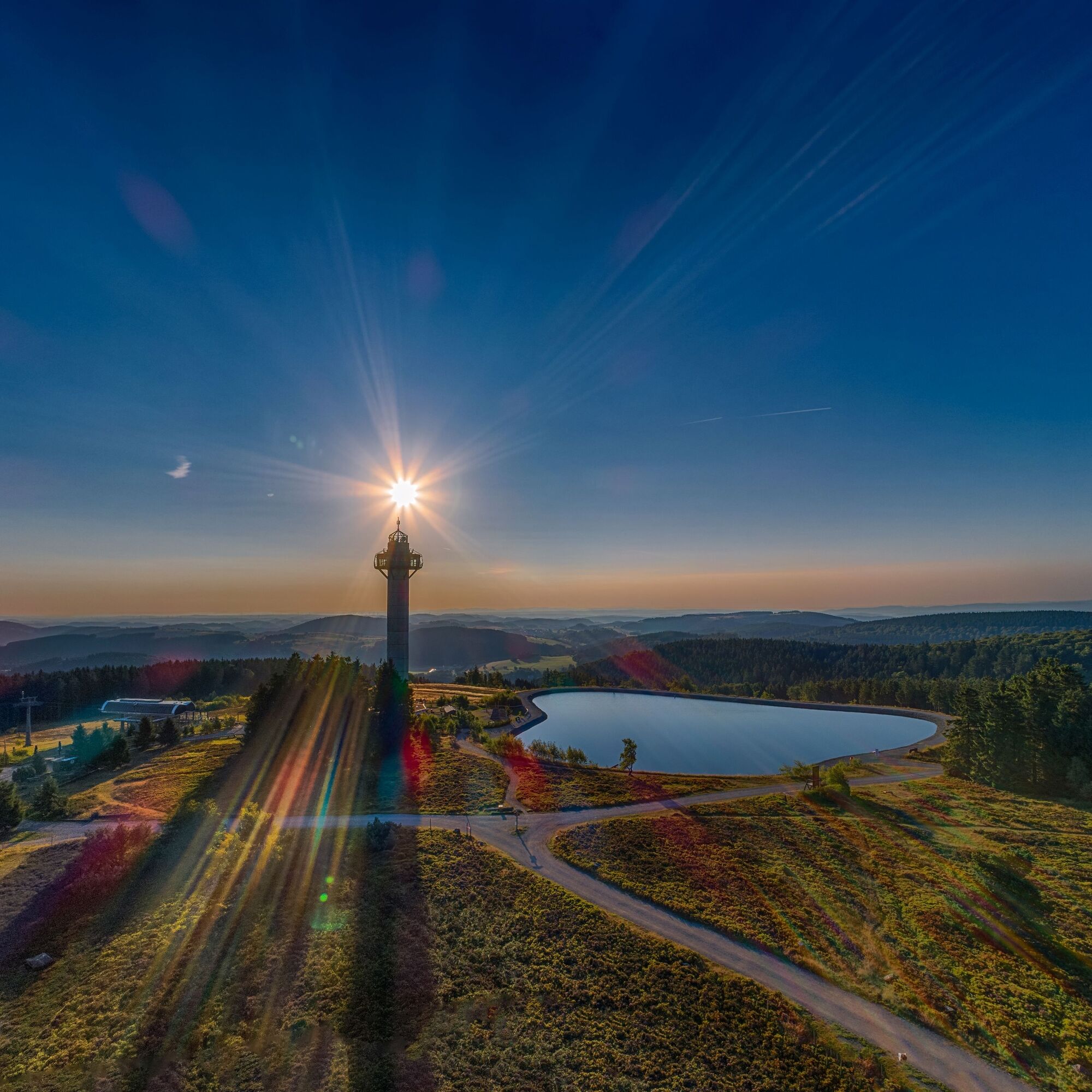
Hochheideturm - Ettelsberg
-
Skilanglaufzentrum Hochsauerland
-
Erlebnisberg Kappe
-
Erlebnisberg Kappe
-
Erlebnisberg Kappe
-
Erlebnisberg Kappe
-
Erlebnisberg Kappe
-
Erlebnisberg Kappe
-
Erlebnisberg Kappe
-
Skywalk
-
Skywalk
Obľúbené výlety v okolí
-
4,7
Bruchhauser Steine B1
strednáTuristika 11,8 km -
5,0
Circular route Skywalk/Hill - Ettelsberg
svetloTuristika 4,10 km -
5,0
Winterberg - rund um den Kreuzberg
svetloTuristika 10,9 km -
4,5
Bruchhausener Steine
ťažkéTuristika 5,15 km -
5,0
Rundwanderung Ruhrquelle Winterberg
svetloTuristika 3,74 km -
Der "Fabelhafte Elfensteig" in Winterberg-Züschen
Turistika 4,45 km -
5,0
Rothaarsteig-Spur - Grönebacher Dorfpfad
strednáTuristika 10,6 km -
4,0
Willingen (W8)
strednáTuristika 12,9 km -
Winterberger Hochtour
ťažkéTematická trasa 90,7 km -
5,0
Willingen (W6)
strednáTuristika 12,9 km
Turistika a stopovanie


Nenechajte si ujsť ponuky a inšpiráciu na ďalšiu dovolenku
Vaša e-mailová adresa bol pridaný do poštového zoznamu.