







Premium route P26 Holstein

The premium route P26 Holstein is located in the hiking area between Sontra, Breitau, and Sontra-Weißenborn, which invites you to short walks and extensive hikes with a network of hiking trails. Over its...
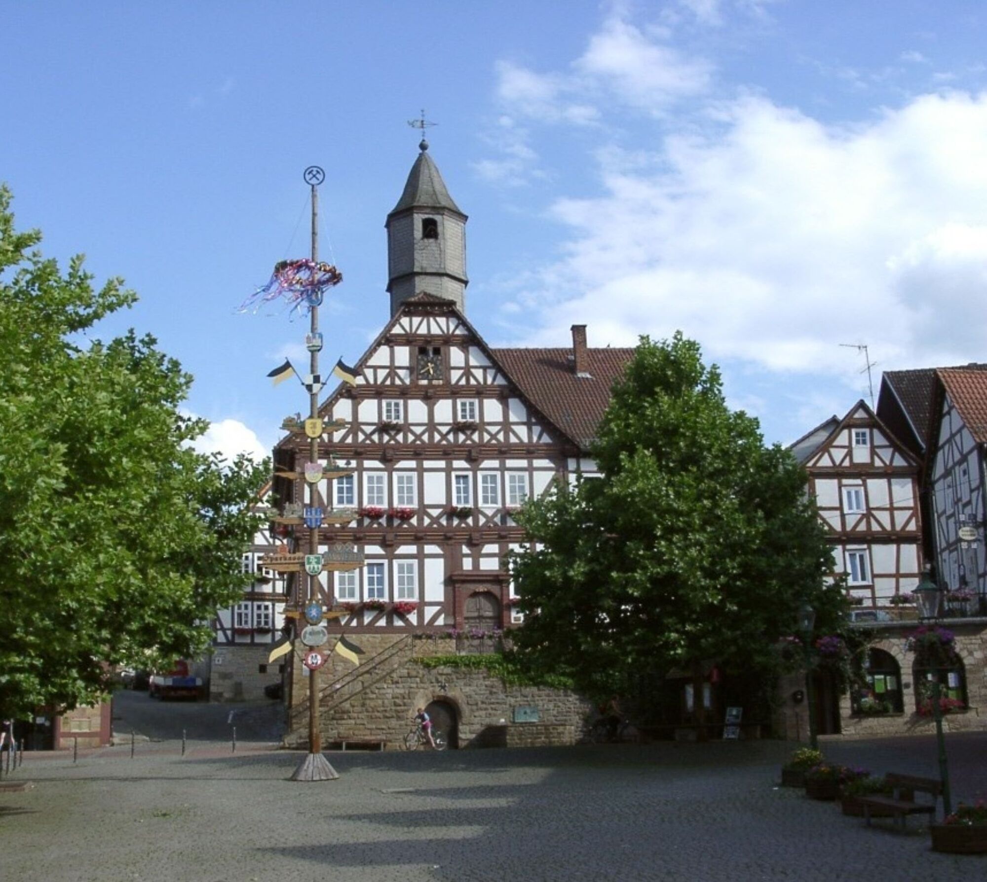
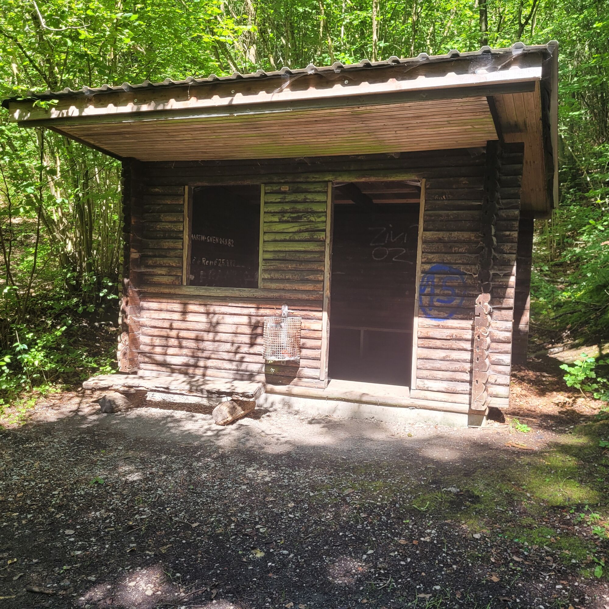
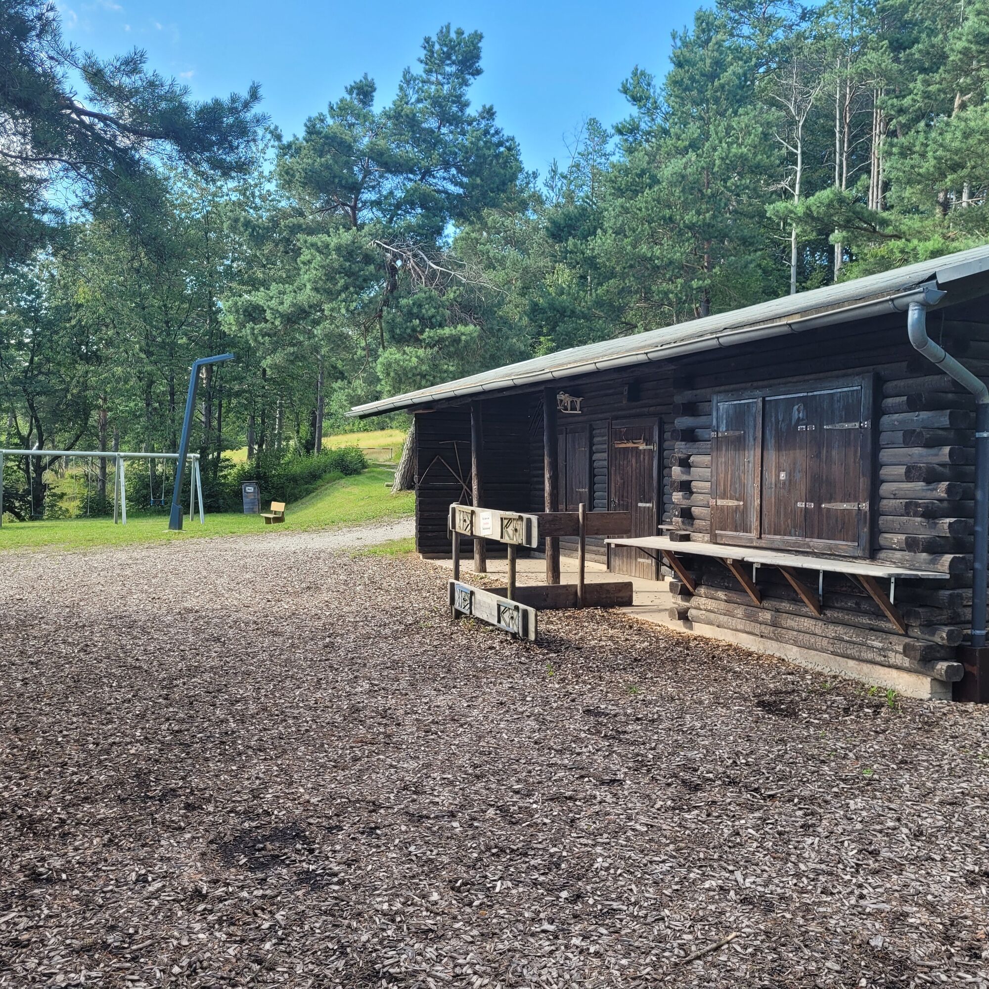
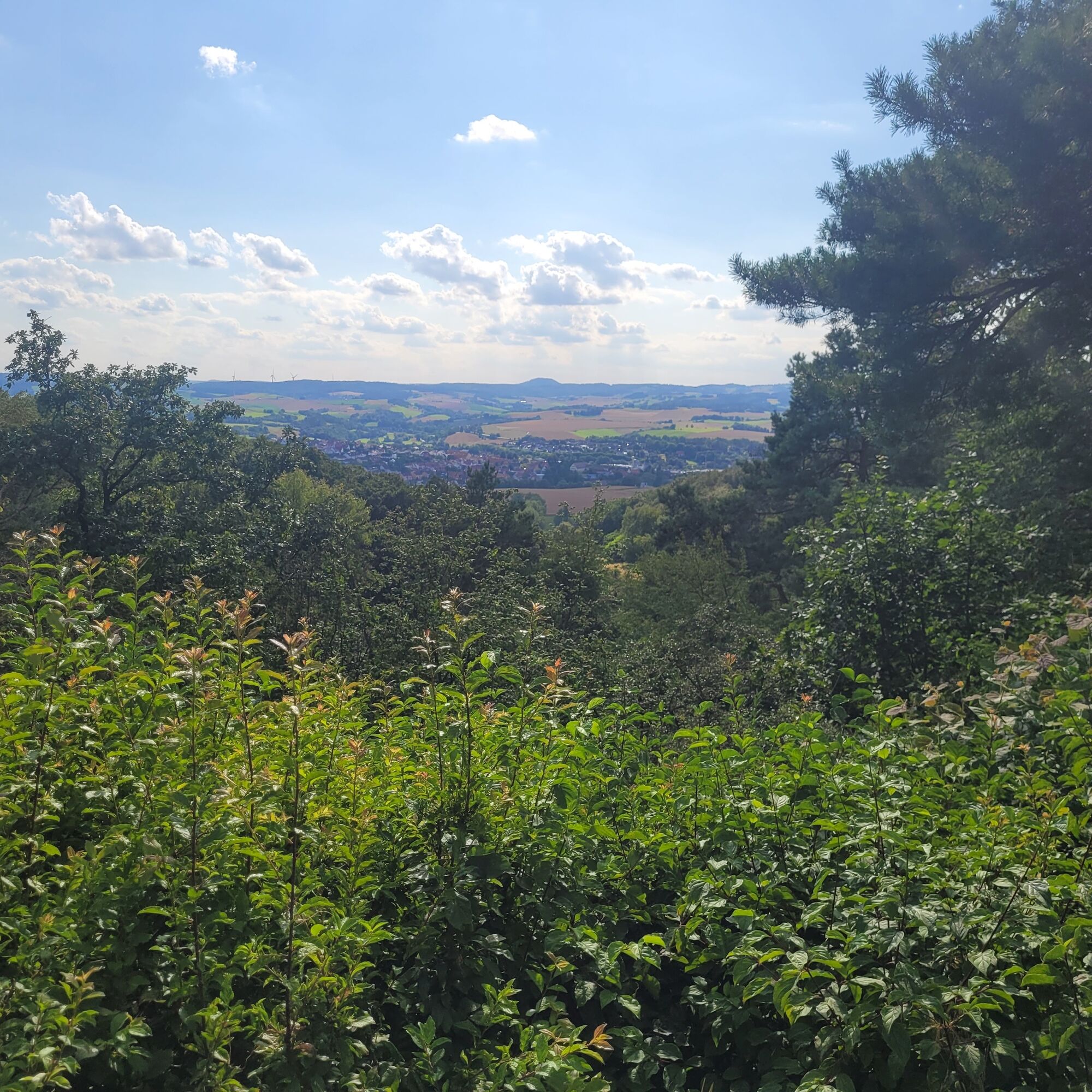
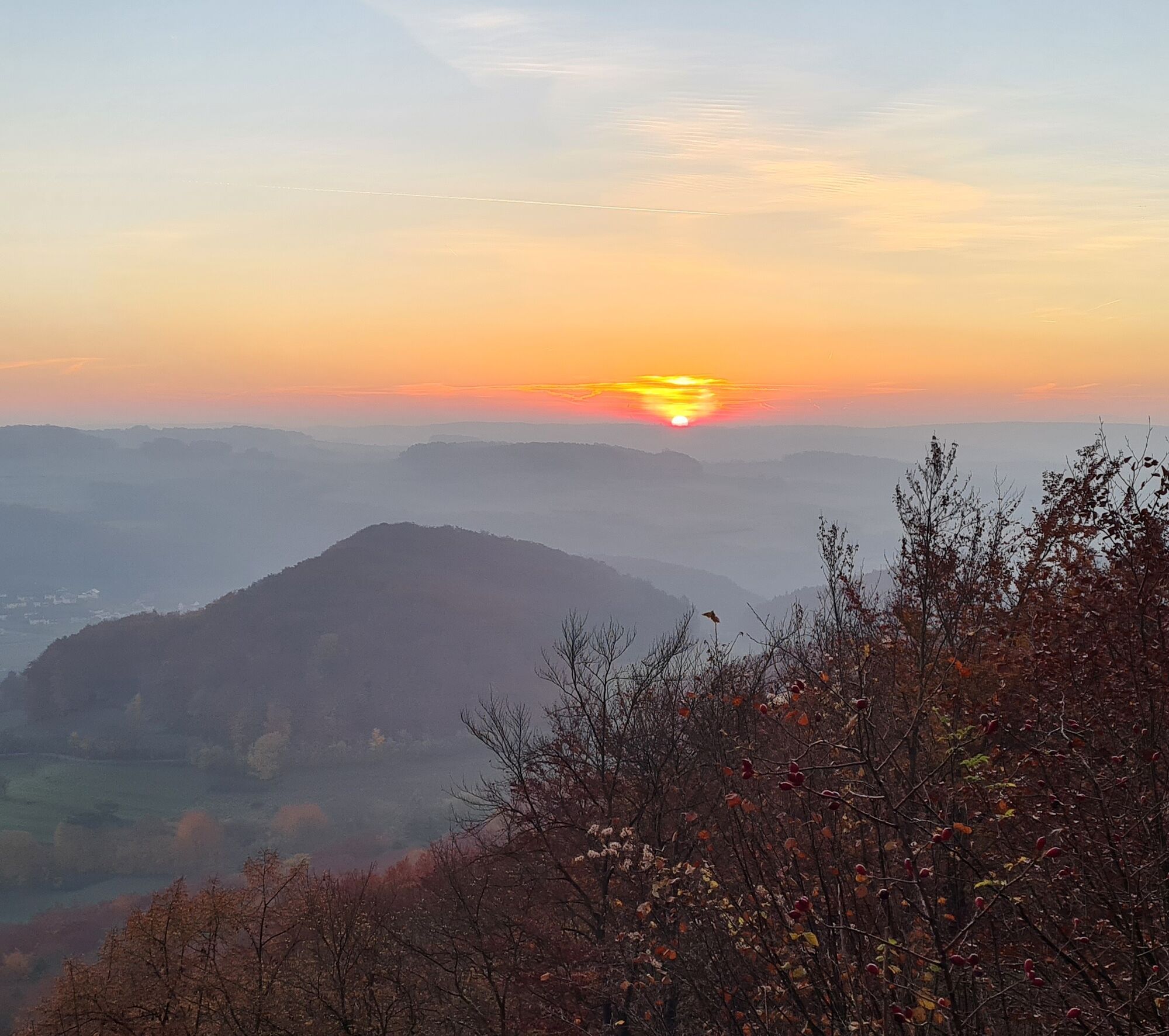
The premium route P26 Holstein is located in the hiking area between Sontra, Breitau, and Sontra-Weißenborn, which invites you to short walks and extensive hikes with a network of hiking trails. Over its 8 km length, it offers several views and plenty of nature. Both the Holstein viewpoint and the Windhause with its barbecue hut are popular excursion destinations with good views to the west and east. The premium routes P13 Boyneburg and P20 Ulfener Karst can be easily reached via connecting paths (including those marked with "Hase").
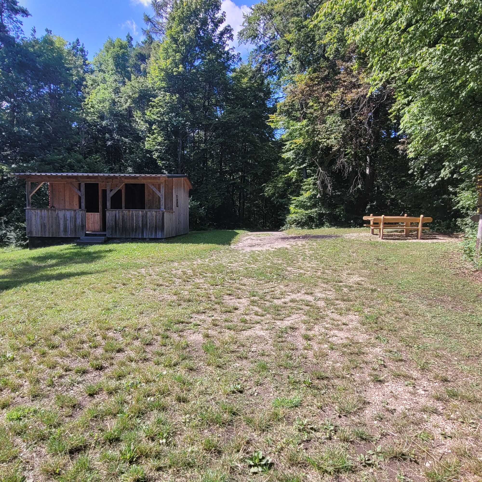
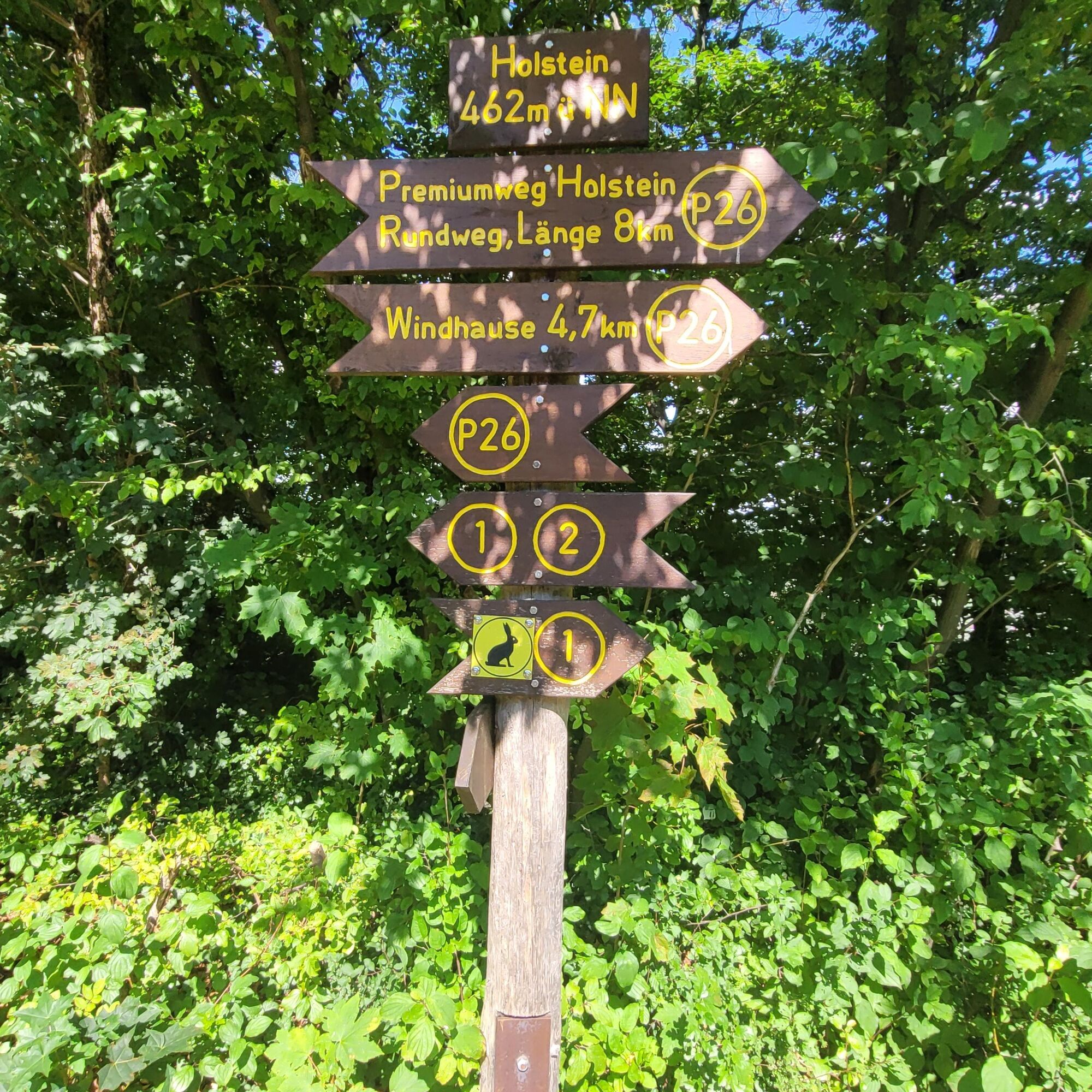
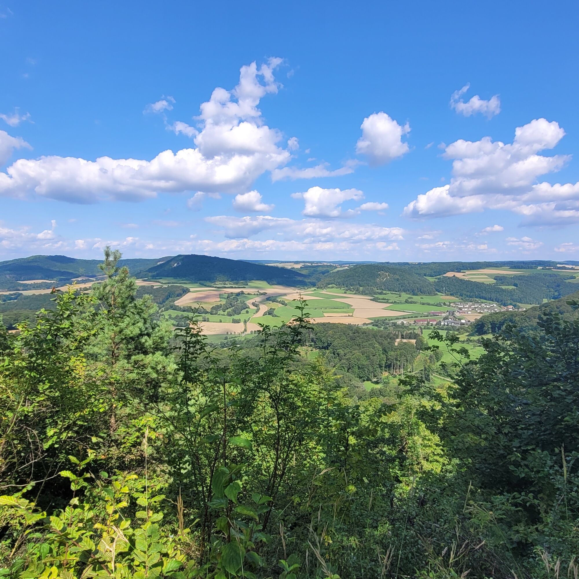
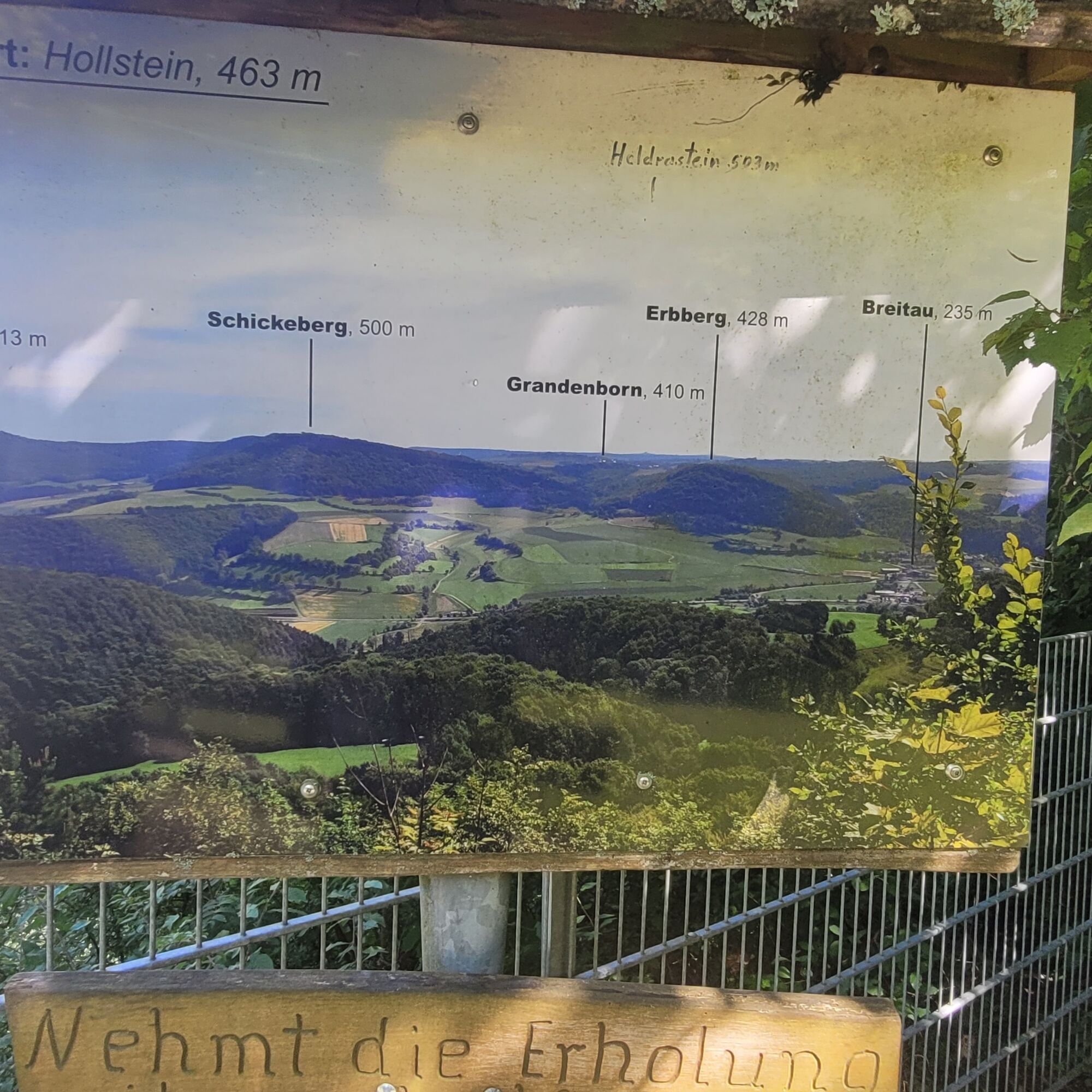
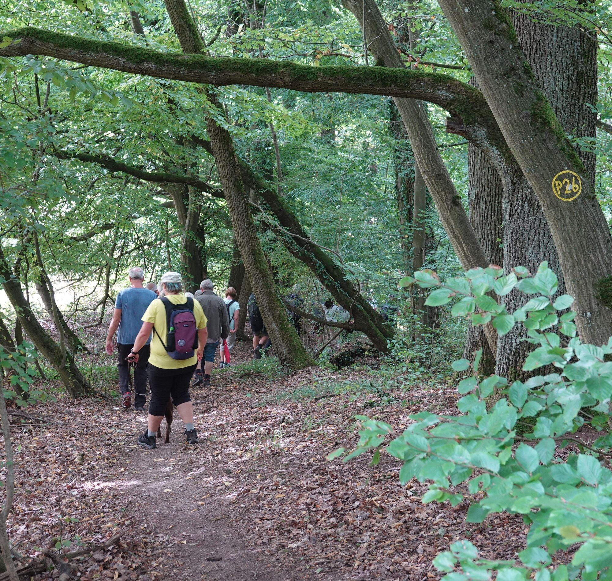

Medium difficulty route, ankle-high hiking boots required, take binoculars with you!
Please note the current information at www.naturparkfrauholle.land
Nearest station: Sontra, timetable information: www.nvv.de
Áno
Information on accommodation options, excursion tips, guided hikes, and news from the Geo-Nature Park Frau-Holle-Land: www.naturparkfrauholle.land, Tel. 05657 644990 or 0561 1003-1382.
Obľúbené výlety v okolí
-
5,0
Premium route P21 Point India - Walkable Green Belt
strednáTuristika 14,9 km -
5,0
Premium route P19 Datterode, Goose Lads' Route
strednáTuristika 9,55 km -
Premium route P13 Boyneburg
strednáTuristika 17,4 km -
Premium route P3 Blaue Kuppe - Eschwege
ťažkéTuristika 19,0 km -
Premium route P17 Waldkappel Mountains
strednáTuristika 17,4 km -
Premium route P15 Graburg - Walkable Green Belt
strednáTuristika 13,8 km -
Premium route P18 Tannenburg
strednáTuristika 8,34 km -
Premium path P20 Ulfener Karst
strednáTuristika 11,5 km -
Hike - The freedom of the storks - Thuringia/Hesse
svetloTuristika 16,8 km -
11th section Werra-Burgen-Steig Hessen
ťažkéTuristika 16,0 km

Turistika a stopovanie


Nenechajte si ujsť ponuky a inšpiráciu na ďalšiu dovolenku
Vaša e-mailová adresa bol pridaný do poštového zoznamu.





