


Tälerweg (quality route)
Fotografie našich používateľov
-
 © MildeVytvorené dňa 19.09.2025
 -
 © MildeVytvorené dňa 19.09.2025
 -
 © Pepijn ter BalsVytvorené dňa 24.07.2025
 -
 © Pepijn ter BalsVytvorené dňa 24.07.2025
 -

 © MattiVytvorené dňa 15.03.2024
 -
 © Christian SchulzVytvorené dňa 21.05.2020
 -
 © Christian SchulzVytvorené dňa 21.05.2020
 -

 © alpinfotoVytvorené dňa 13.08.2025
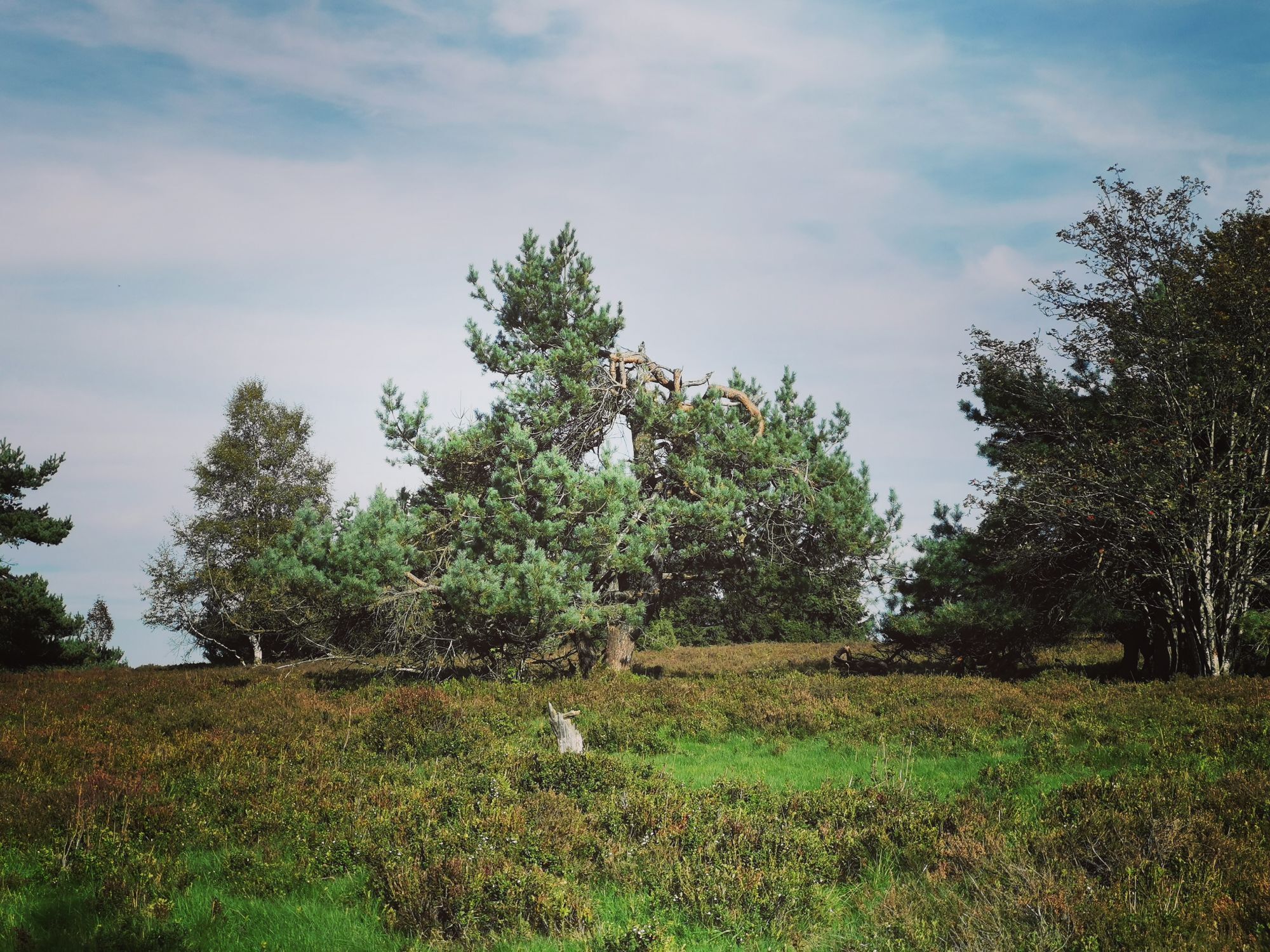
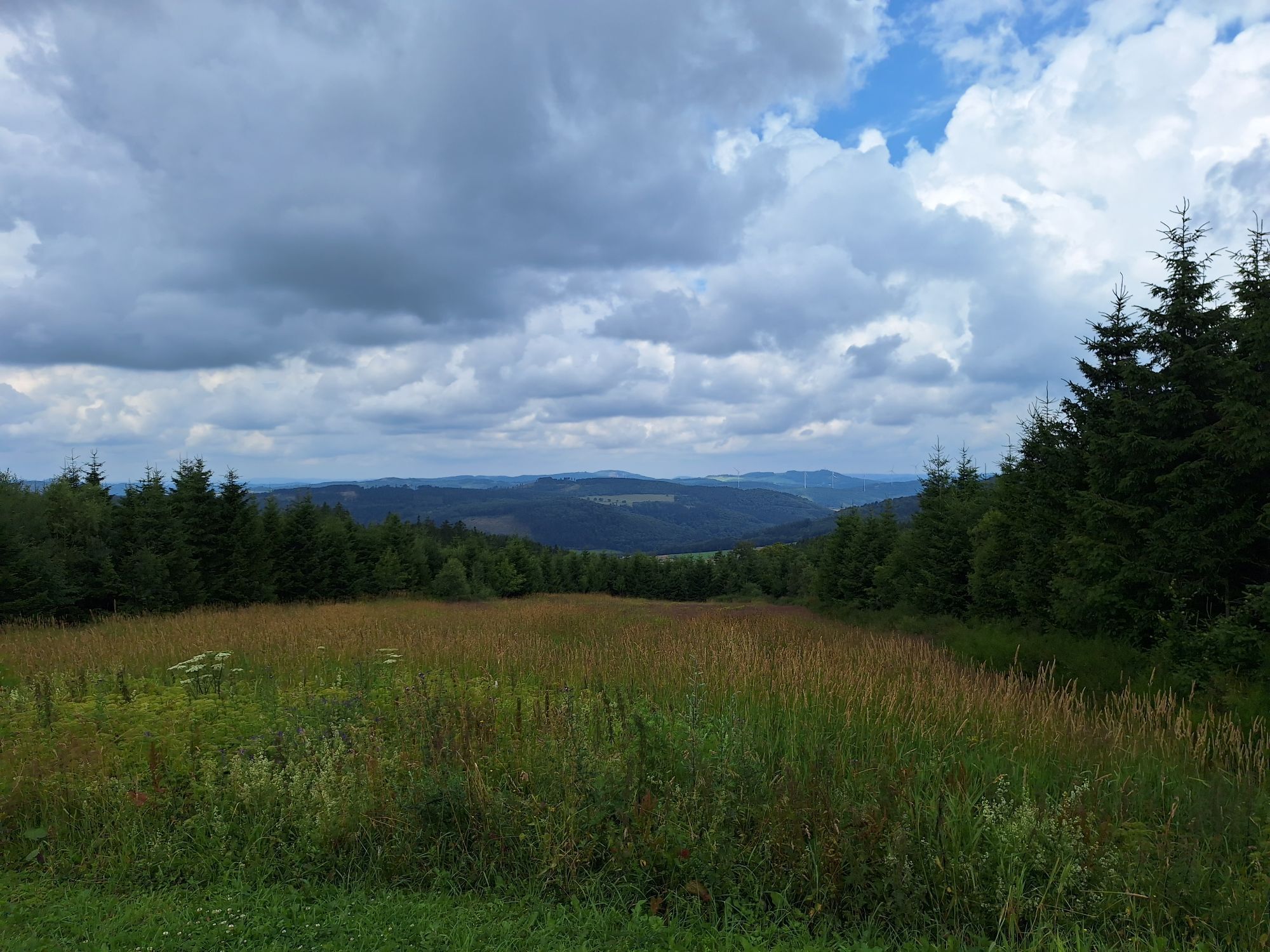

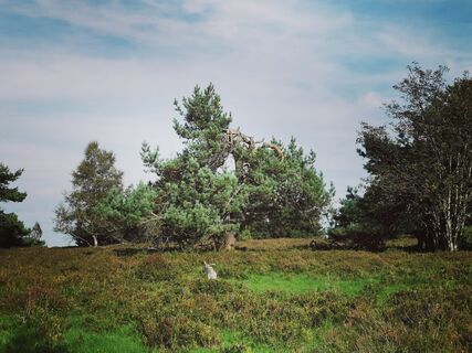
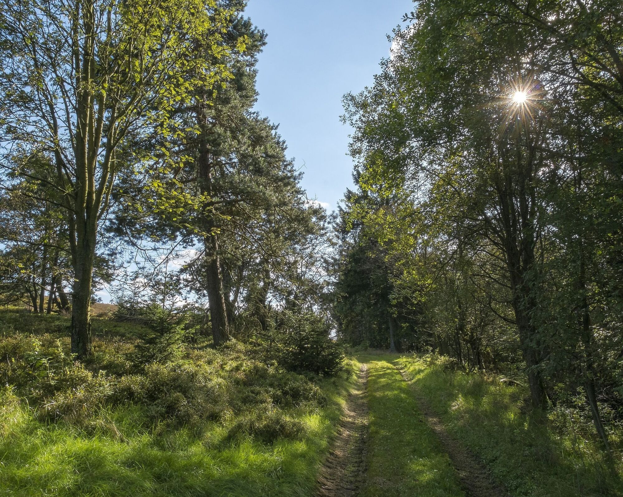
This quality route starts in Hoppecketal in Willingen and quickly leads through the so-called "Keller" up to the Rothaarsteig and Uplandsteig. For kilometers, hikers look over the "land of a thousand mountains"...
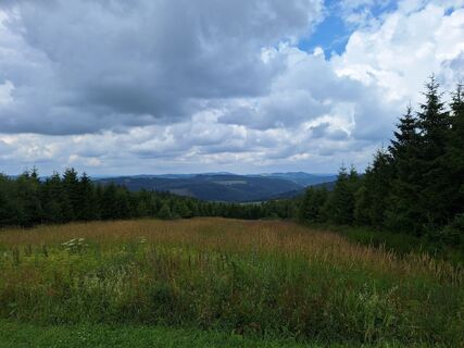
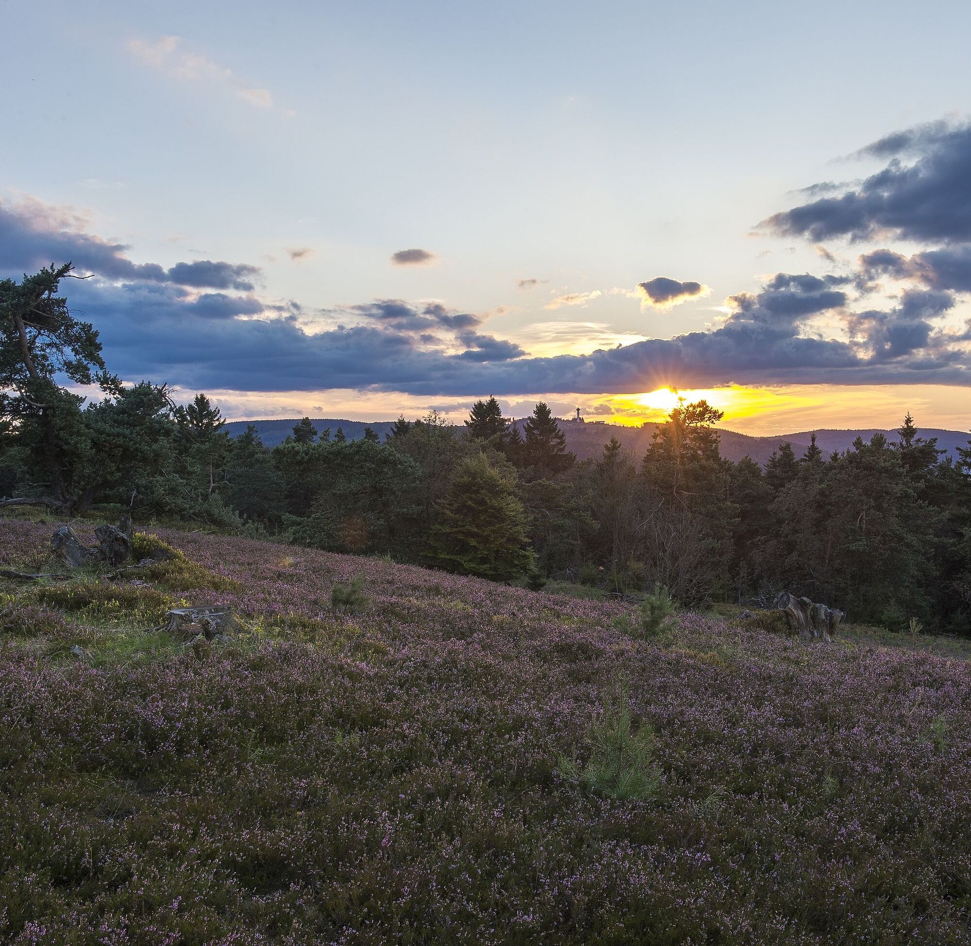
This quality route starts in Hoppecketal in Willingen and quickly leads through the so-called "Keller" up to the Rothaarsteig and Uplandsteig. For kilometers, hikers look over the "land of a thousand mountains" or the Ruhr valley and enjoy the expansive landscape of the Willingen Hochheide. Through the source area of the Hoppecke, they return to the valley.

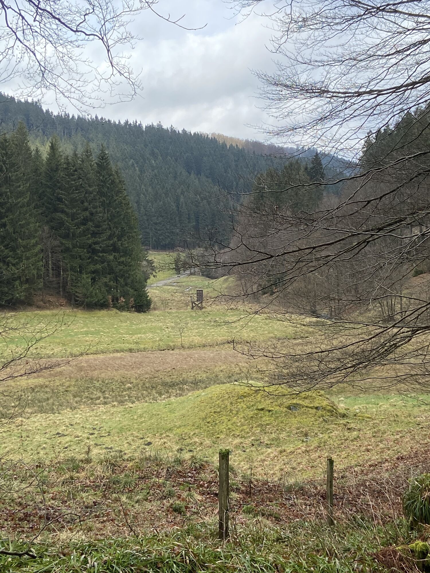
The start and finish of this hike is the hiking car park in the lower Hoppecketal. From here, we start our 12-km hike to the nature reserve "NSG Neuer Hagen", better known as the large Hochheide. At the top, a stop is also possible in the Hochheidehütte.
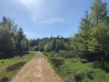
Now "fresh on" up through the Hoppecketal, with meadows on the left and some trees of the brook of the same name. Initially, a very slow ascent to the "Keller", located at around 700 m, then somewhat more moderate. We reach the state border from Hesse to NRW and unmistakably the huge Kyrill areas, which were created at the time in January 2007 by the storm of the same name. After another 1.3 km, we reach the ridge top of the Upland and Rothaarsteig, both award-winning quality routes.
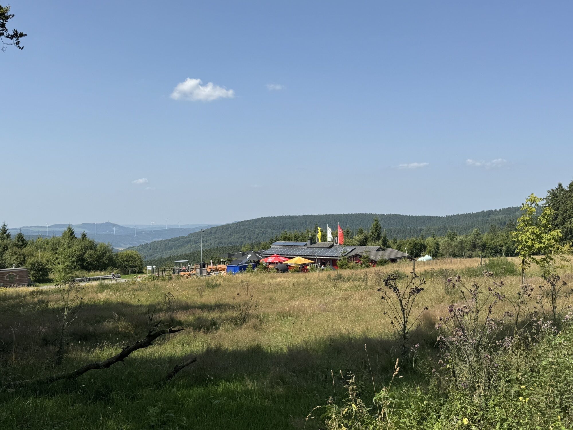
We follow these turning left. On the left side is also a free area, the so-called "Suggeheide" (sow-heath), where pigs were comfortable in earlier centuries. Today, be careful sometimes, the paths may be muddy there, so please detour. And here the "Niedersfelder Hochheidehütte" soon announces itself, located at a good 800 m elevation. On the way there, try the path running parallel to the driving and hiking path, a relief for the feet.
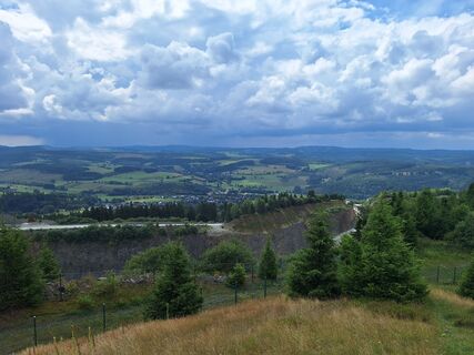
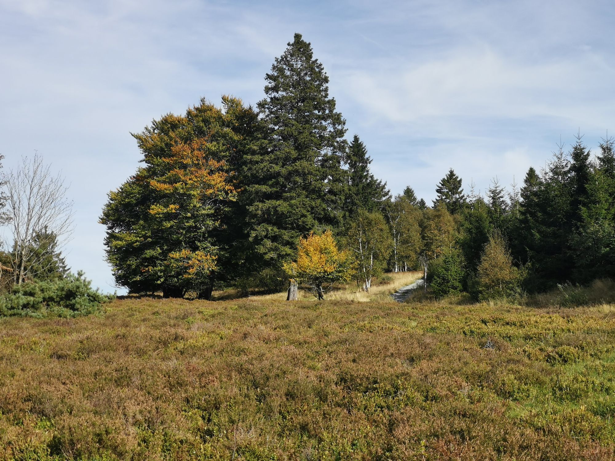
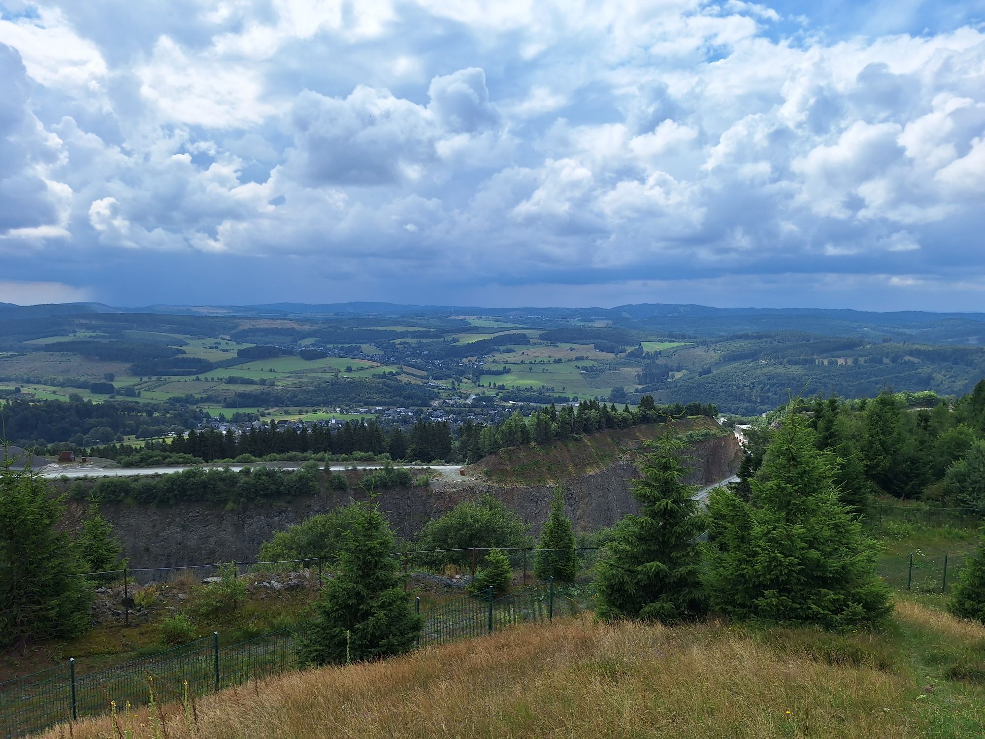
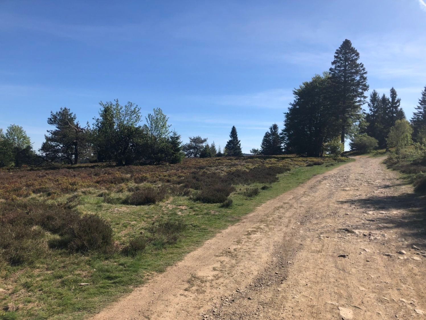
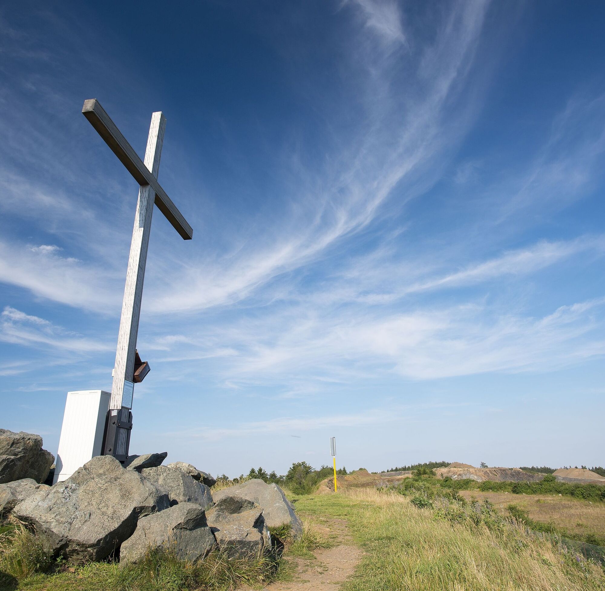
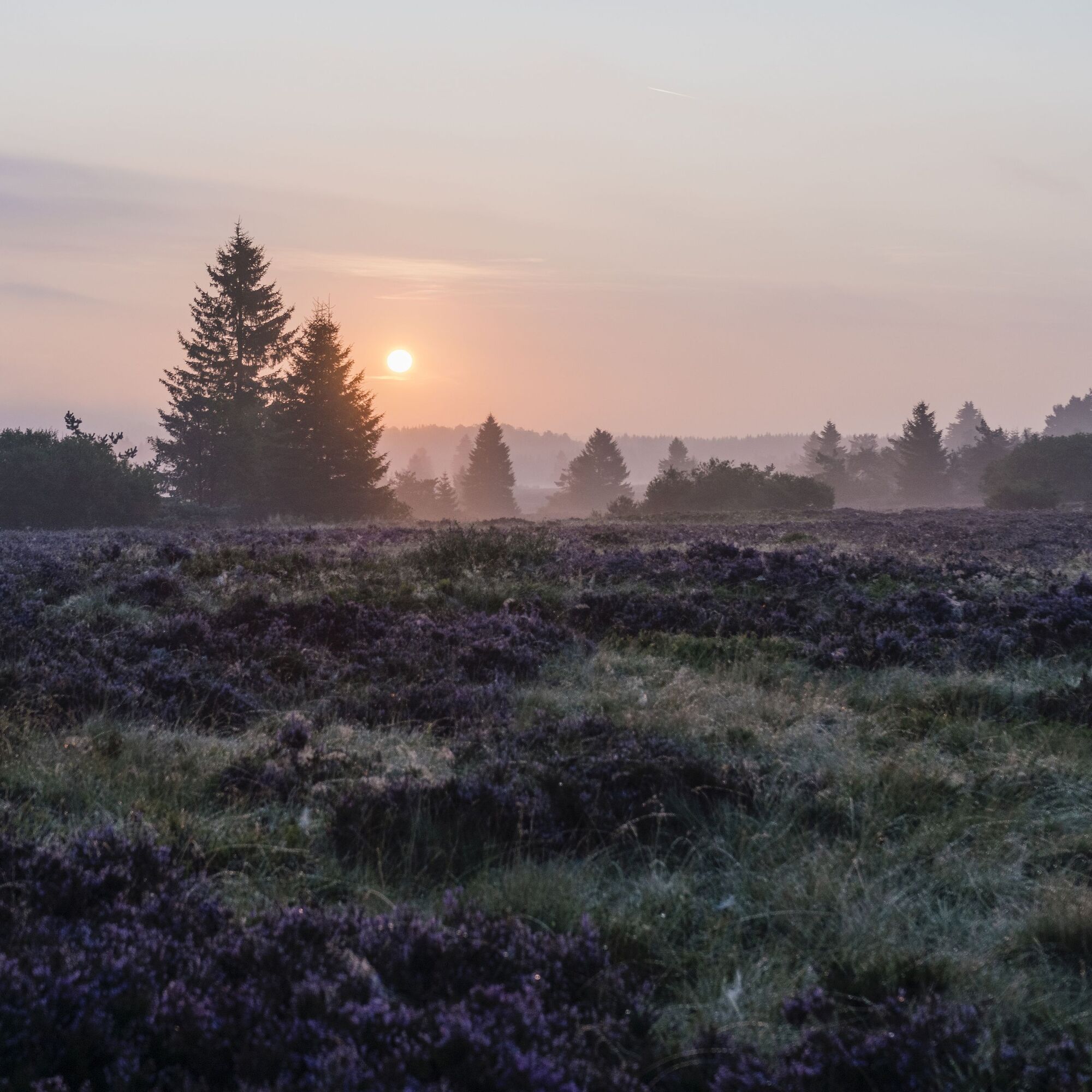
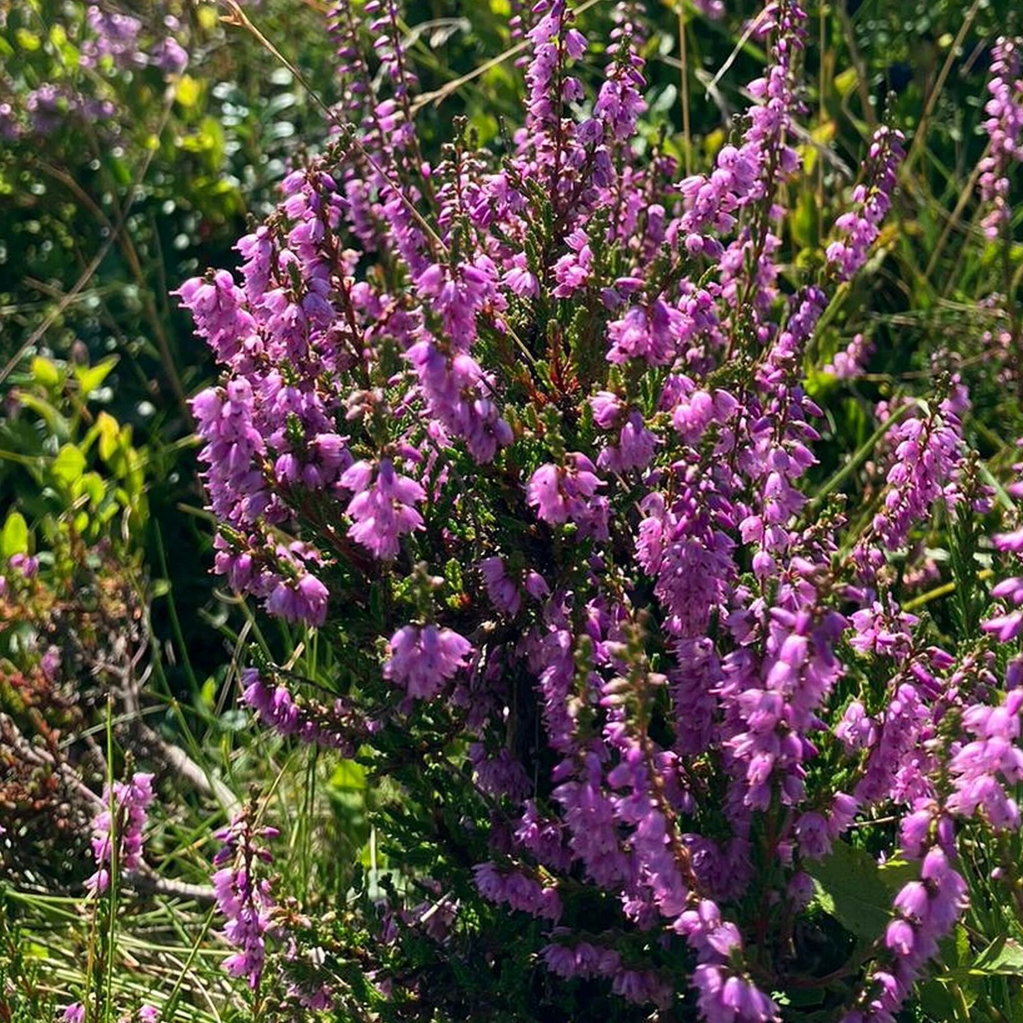
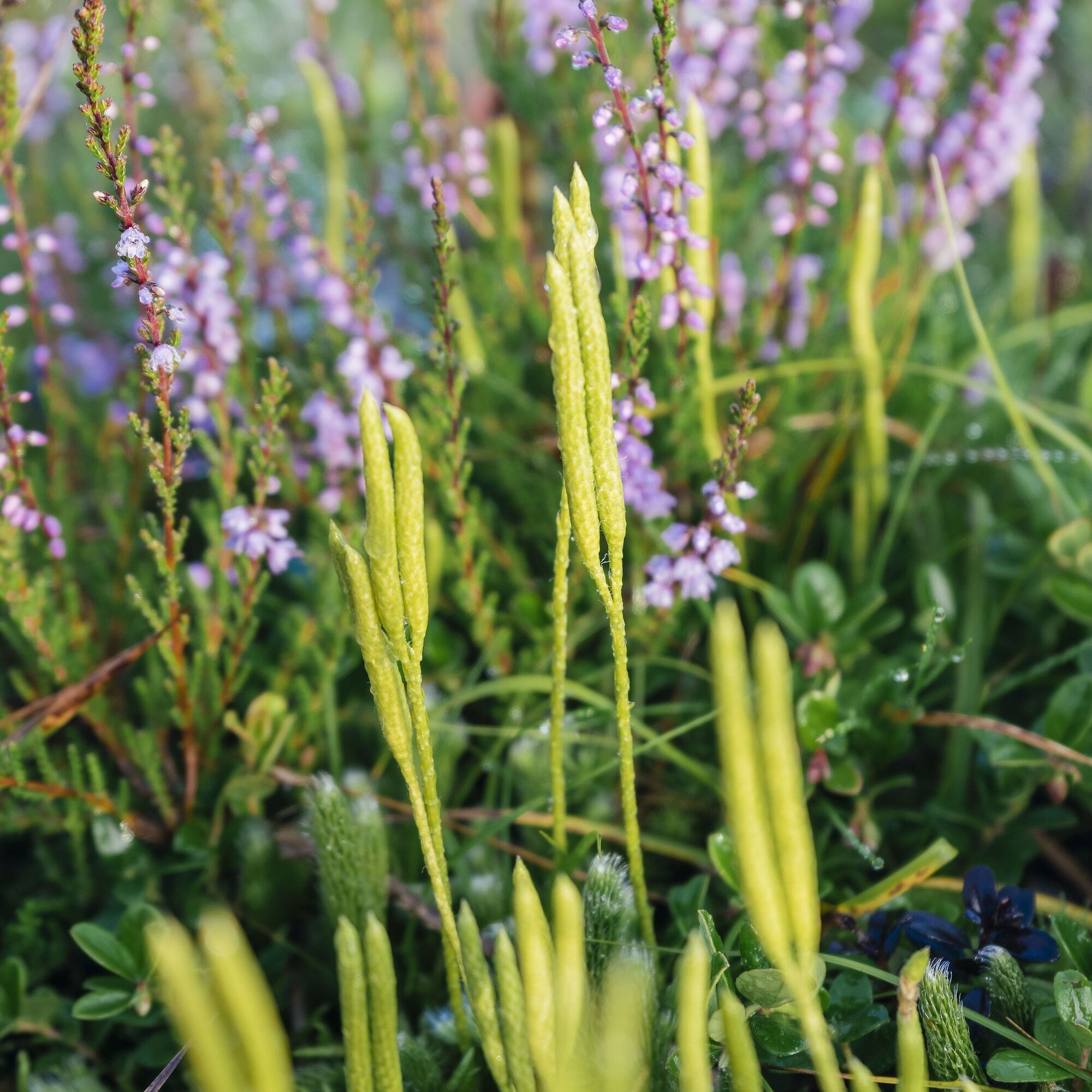
The hut rightly bears its name. Because from here to the "Clemensberg" (838 m), our quality route touches the edge of the Hochheide, a "relic" of the Ice Age, which blooms beautifully in late summer and produces delicious blueberries. Arriving at Clemensberg, you experience three things: first, the depths of the Niedersfelder quarry (please observe warning signals), where the hard diabase stone is mined. Second, you learn about the story of the soldier and his vow. And finally, you enjoy the distant view far into the Ruhr valley. Now below the wall of the quarry, the trail continues to the Hoppecke source (774 m), the starting point of the 35 km long river, which flows into the Diemel near Bredelar. Shortly after, at border stone number 8, we enter Hessian terrain again and leave the Upland and Rothaarsteig at the next large crossroads. At the Scheid, the shelter hut and the comfortable seating and loungers offer an opportunity for rest.
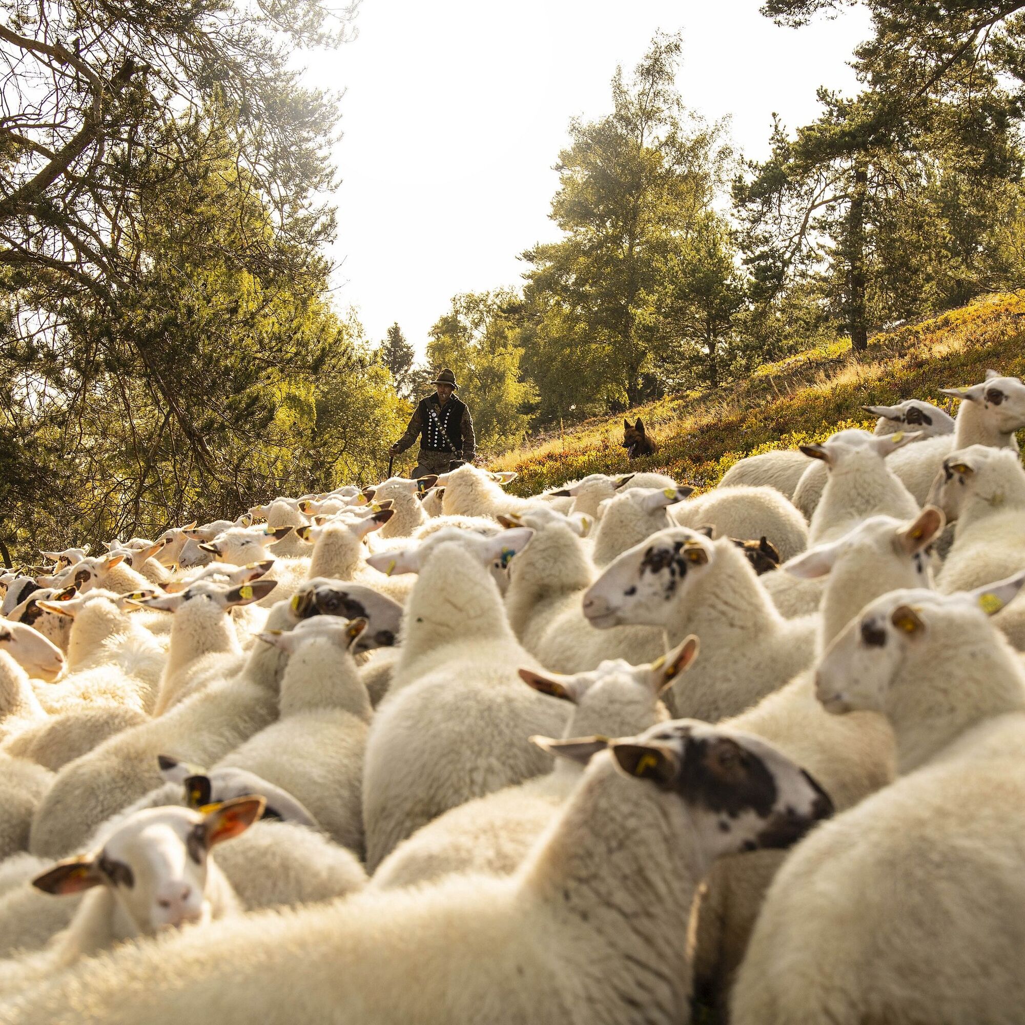
Afterwards, at this point, it goes steeply downhill to the left. Midway down, a historical information board "Steffens Hütte" informs us: in the past, livestock was grazed here on "Neighbor's Meadow", that is, across the border and the brook, legally permitted for a long time. Further down, we choose the right branch to the so-called Hoppecketal round. With quick steps on a relatively flat path enjoying nature, we reach the Ruthenaartal in a large curve. Long ago, "Hammer Johann" worked here laboriously, processing iron with the help of mountain waters. On the other side of the valley another curve in the path, where we then take a sharp left onto a path. Follow this, cross a bridge, first take the ascending path again, then down right again. Is the path meant to end here? Of course not. Another bridge leads over the—yes, again the Hoppecke!
On the other side right meadow, left bushes, and soon ahead: the Hoppecketal road. We know it from the way here. So first left again and please follow on the left side, as there is no sidewalk but increased car traffic. Finally, here, a last chance to stop for a refreshment is possible, a nice local next to forest and lake makes it possible. Until gravel path and car park meet us, and we take this beautiful round, the quality route "Tälerweg", into our hearts and memory.
Áno
Sturdy footwear, weather-appropriate clothing, packed meals, and sufficient fluids (water, tea) are recommended.
Observe warning signals (3 x = alarm) for blasting in the Niedersfelder quarry adjacent to the Hochheide (NSG Neuer Hagen).
By car via B251 to Willingen (Upland), turn off at the town entrance/exit towards Brilon onto the street "Zur Hoppecke", then left into Hoppecketalstraße, from paved road over gravel path 150 m to the car park.
Bus/train to Willingen station, then continue by bus or on-demand shuttle (AST), stop Hoppecketalstraße
Free parking at the starting point.
www.willingen.de/wandern
In winter, cross-country skiing on the Hochheide.
Webové kamery z prehliadky
-
Talstation Ettelsberg-Seilbahn
-
Talstation Ettelsberg-Seilbahn
-
Talstation Ettelsberg-Seilbahn
-
Talstation Ettelsberg-Seilbahn
-
Talstation Ettelsberg-Seilbahn
-
Kurhotel Hochsauerland 2010
-
Kurhotel Hochsauerland 2010
-
Kurhotel Hochsauerland 2010
-
Kurhotel Hochsauerland 2010
-
Sternrodt Skilift
-
Hochheideturm - Ettelsberg
-
Schlossberg Alm
-
Skywalk
-
Skywalk
-
Skywalk
-
Skywalk
-
Skywalk
-
Stern Hotel Sauerland
-
Schwalefeld - Cafe Fernblick
-
Willinger Brauhaus
-
Ettelsberg
-
Hochheide
-
Talstation Ettelsberg Seilbahn
-
Ettelsberg Seilbahn Bergstation/ Hochheideturm
-
Mountainbike-Strecke K1
-
K1 Gipfelkreuz
-
Bikepark (Sommer) / Skipiste an K1-Hütte (Winter)
-
Spielplatz, Bergsee, K1-Gipfel
-
Spielplatz am Hochheideturm
-
Ettelsbergplateau
-
Ettelsberghütte
Obľúbené výlety v okolí
-
4,7
Bruchhauser Steine B1
strednáTuristika 11,8 km -
5,0
Circular route Skywalk/Hill - Ettelsberg
svetloTuristika 4,10 km -
5,0
Winterberg - rund um den Kreuzberg
svetloTuristika 10,9 km -
4,5
Bruchhausener Steine
ťažkéTuristika 5,15 km -
5,0
Rundwanderung Ruhrquelle Winterberg
svetloTuristika 3,74 km -
Der "Fabelhafte Elfensteig" in Winterberg-Züschen
Turistika 4,45 km -
5,0
Rothaarsteig-Spur - Grönebacher Dorfpfad
strednáTuristika 10,6 km -
4,0
Willingen (W8)
strednáTuristika 12,9 km -
Winterberger Hochtour
ťažkéTematická trasa 90,7 km -
5,0
Willingen (W6)
strednáTuristika 12,9 km
Turistika a stopovanie


Nenechajte si ujsť ponuky a inšpiráciu na ďalšiu dovolenku
Vaša e-mailová adresa bol pridaný do poštového zoznamu.