


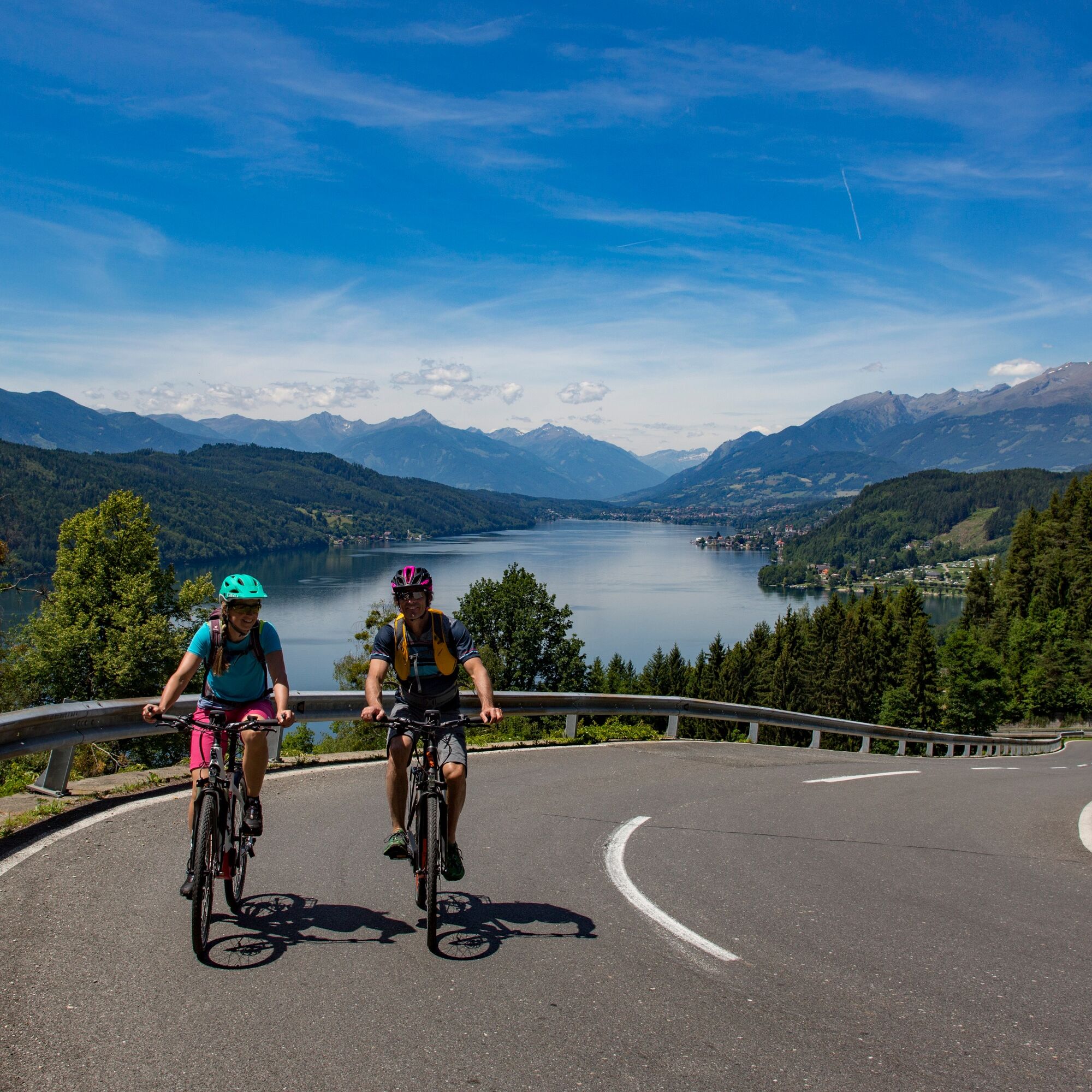
Carinthia Lakes Loop
Úroveň náročnosti: 2


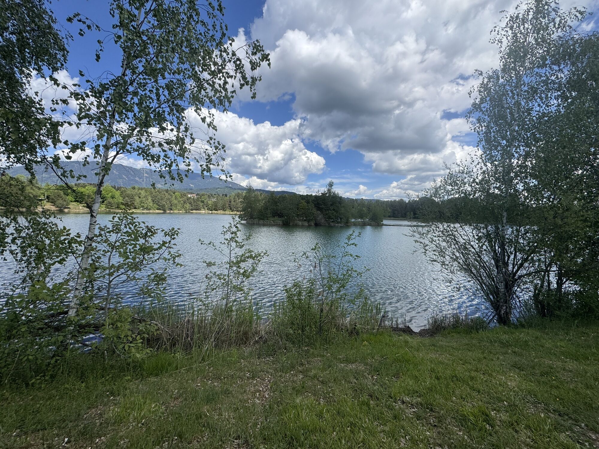
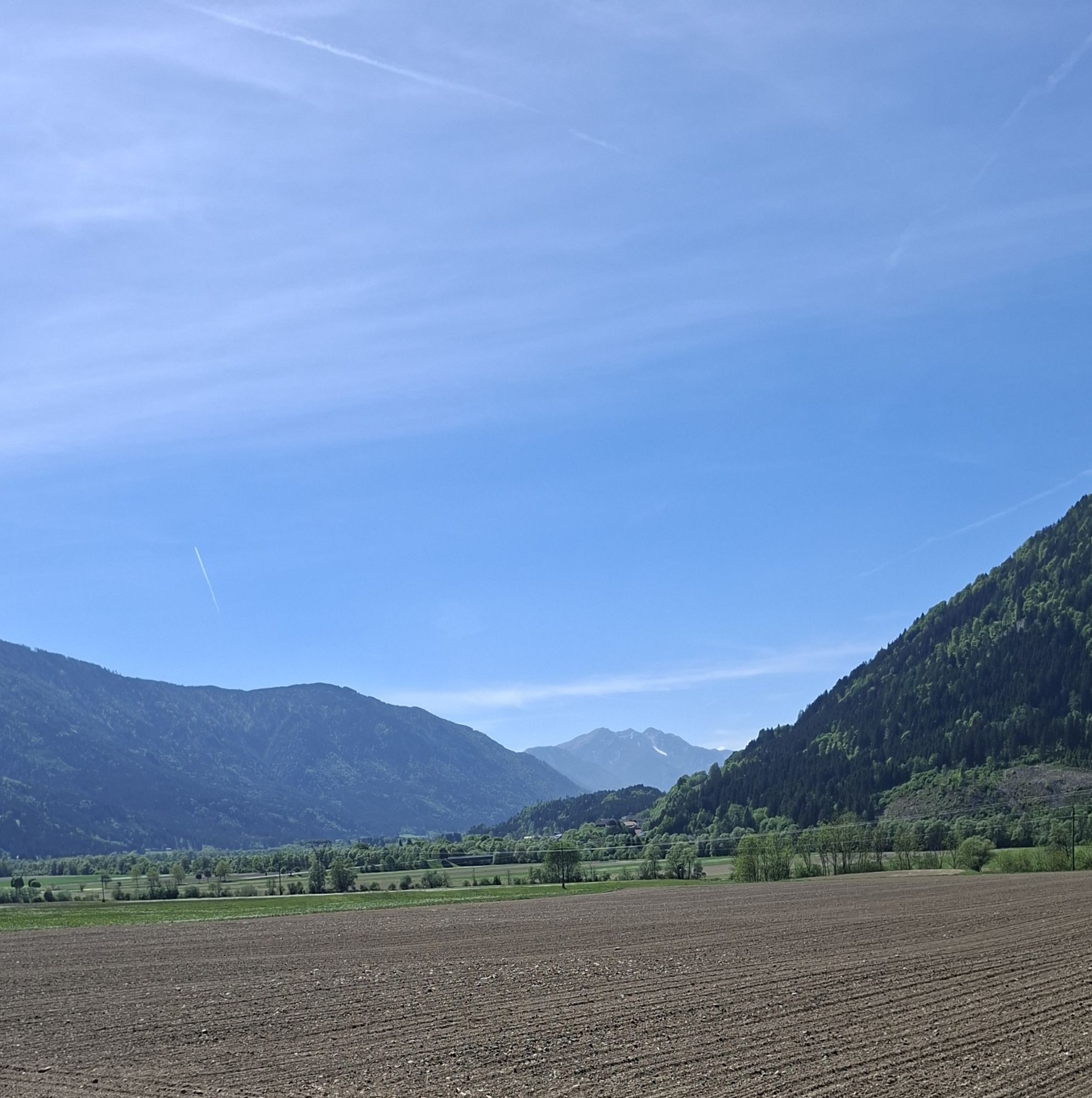
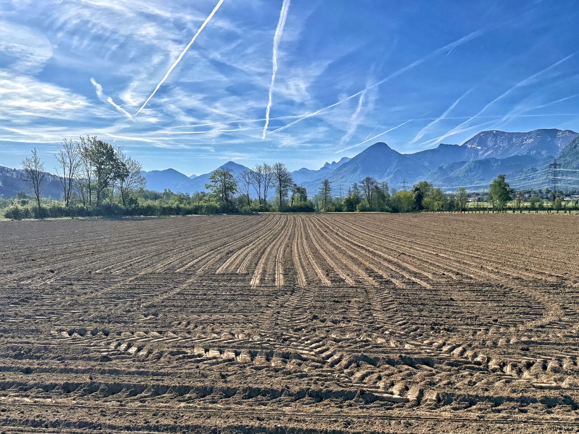
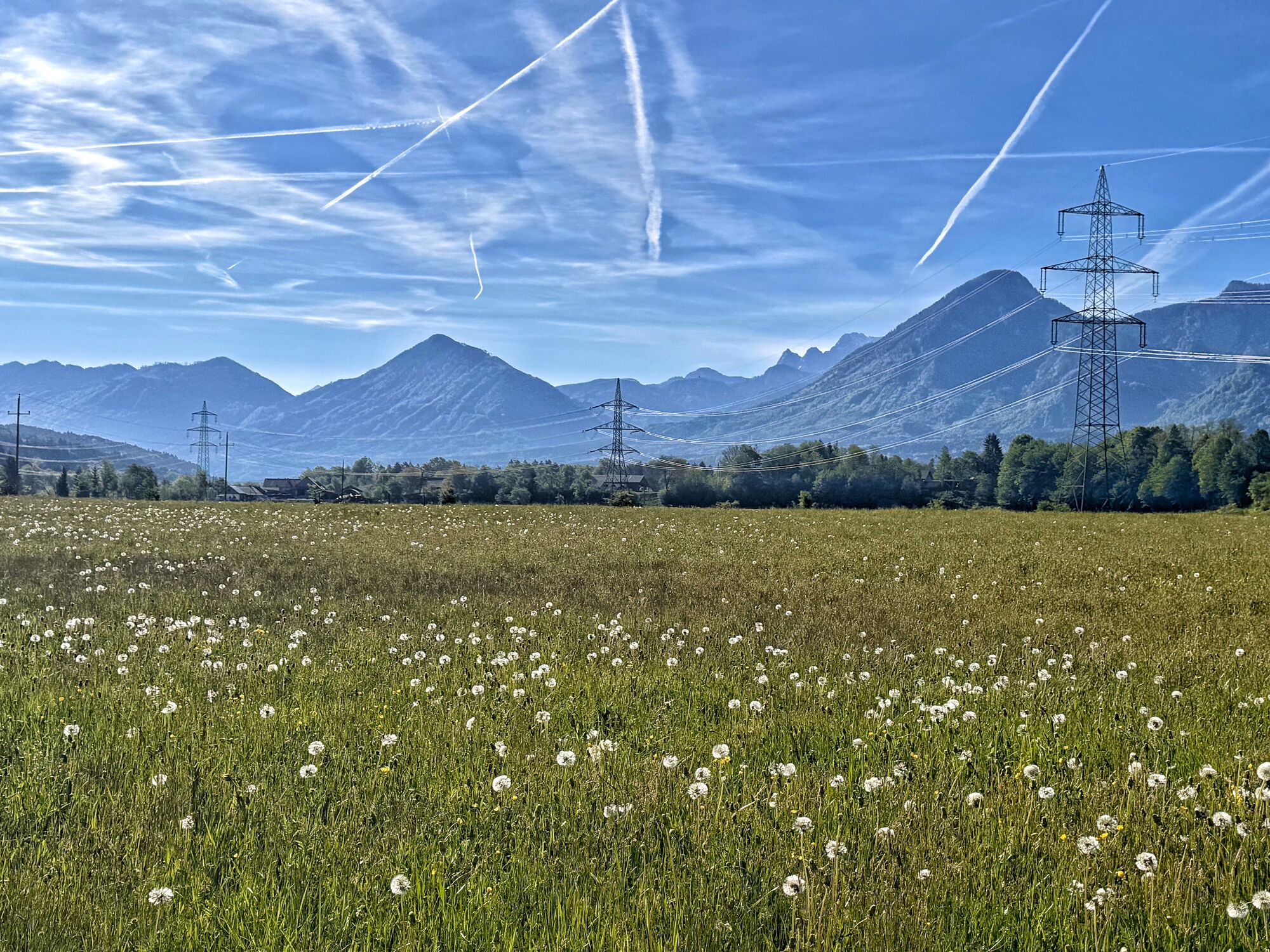
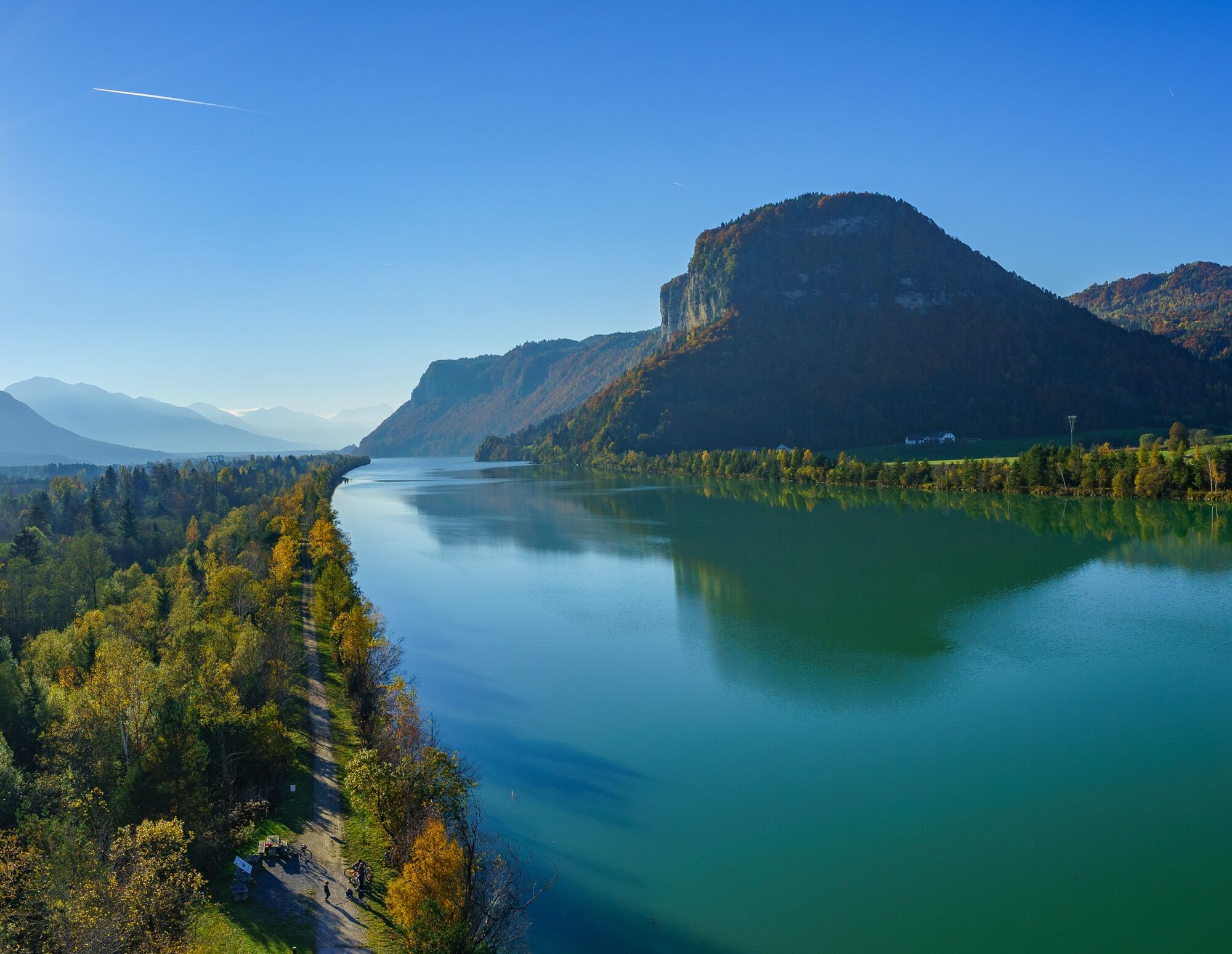
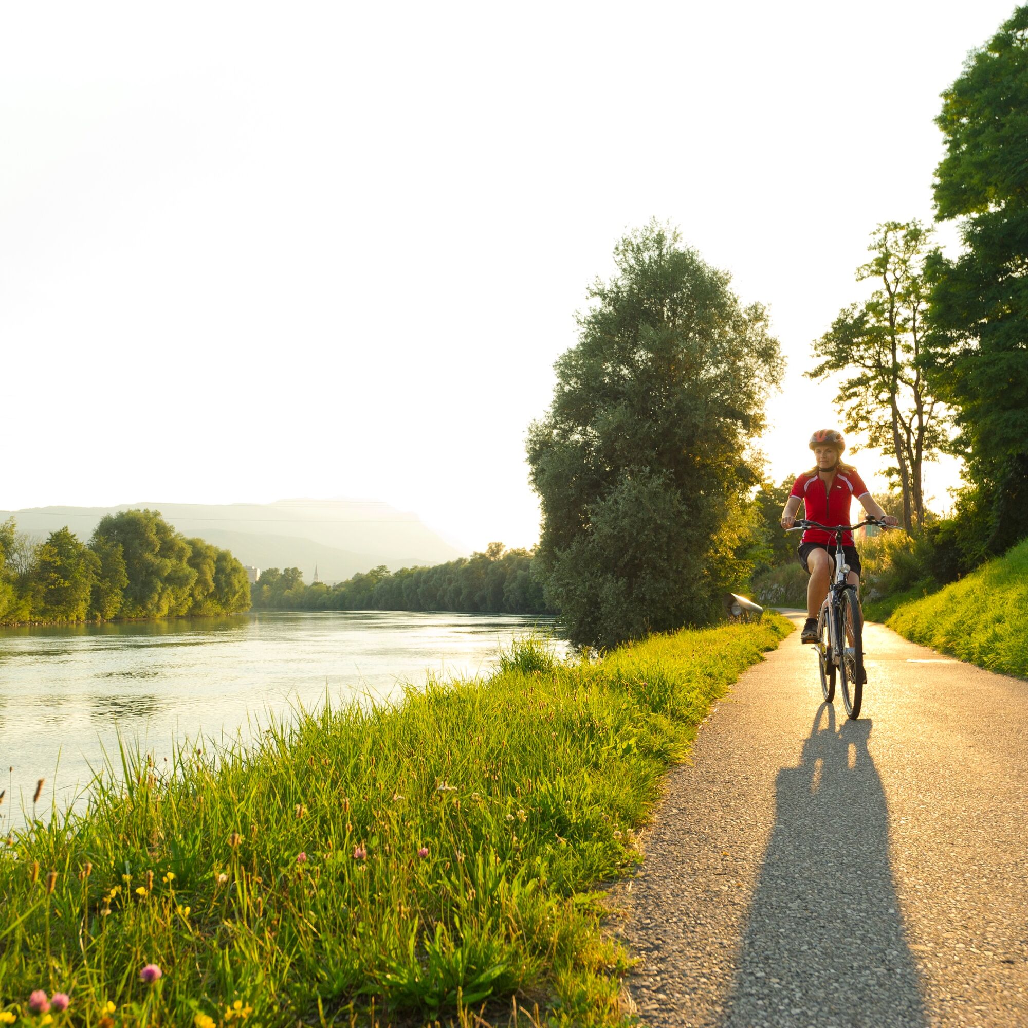
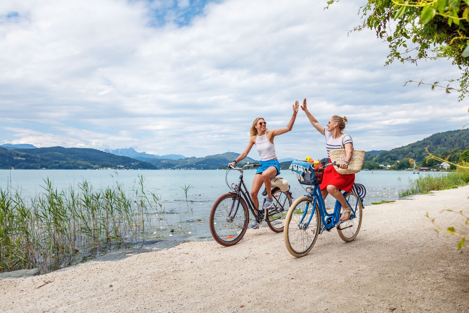
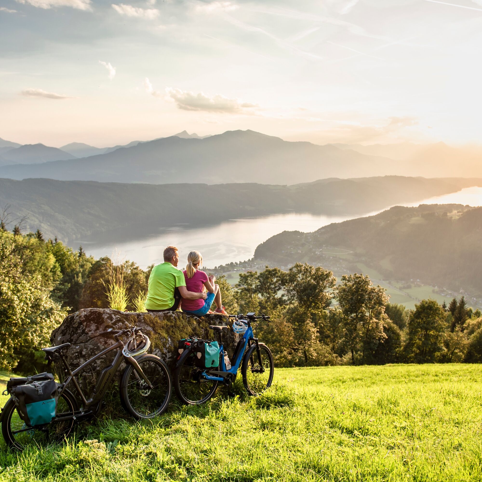
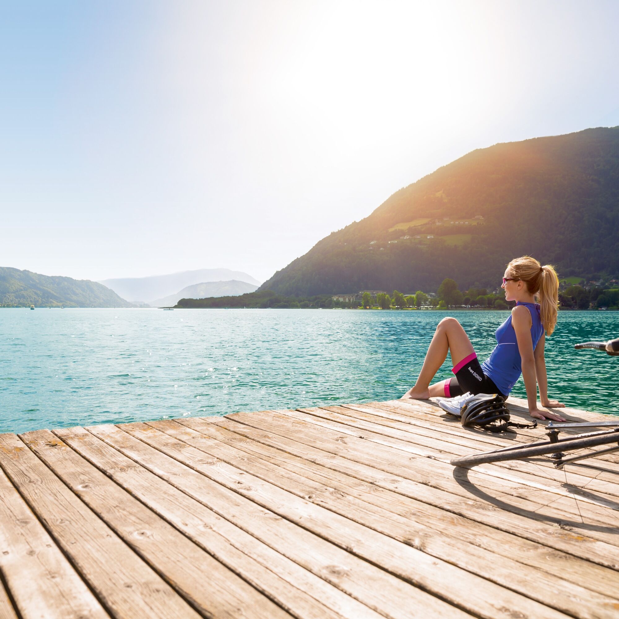
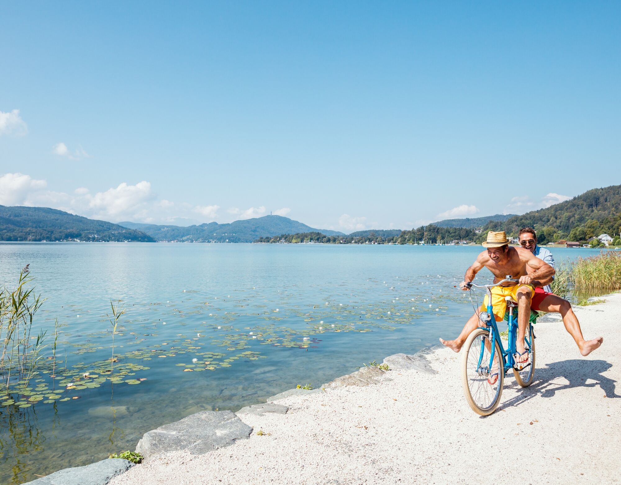
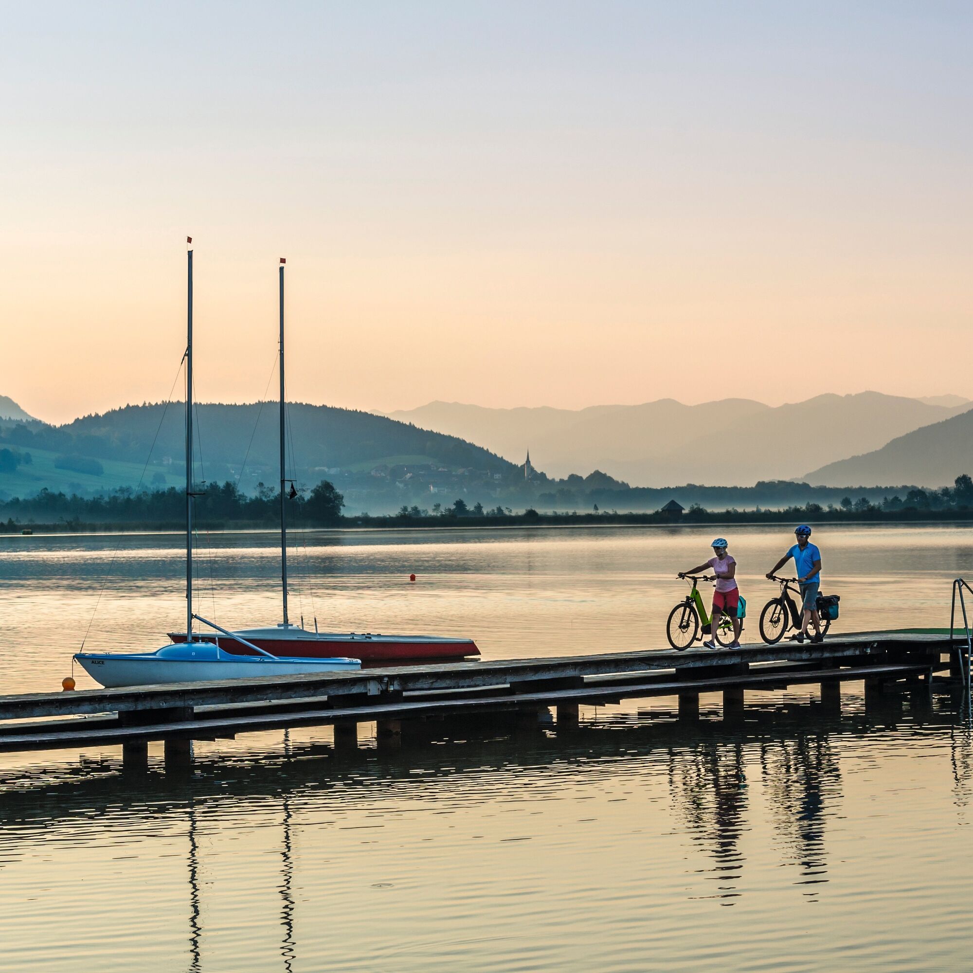
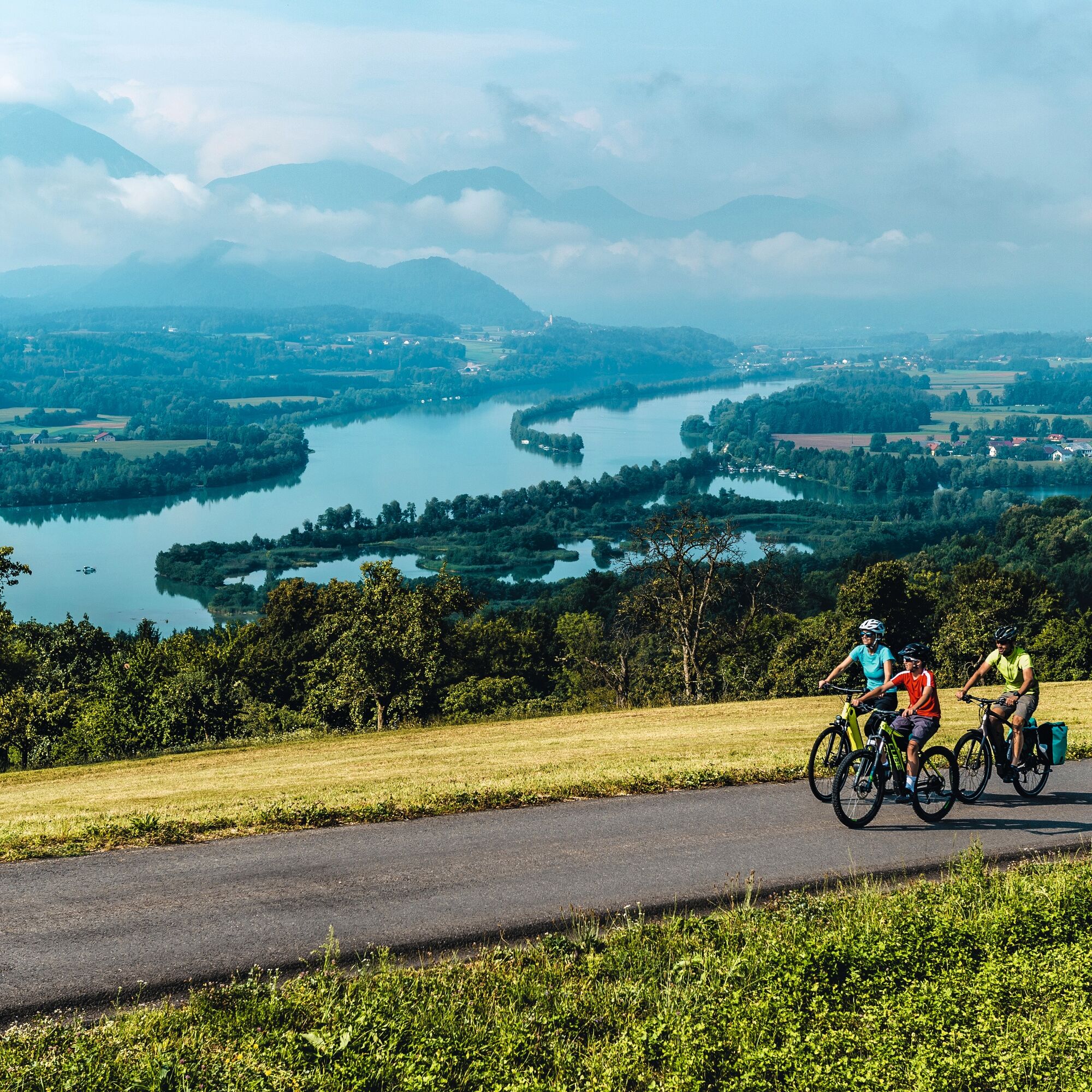
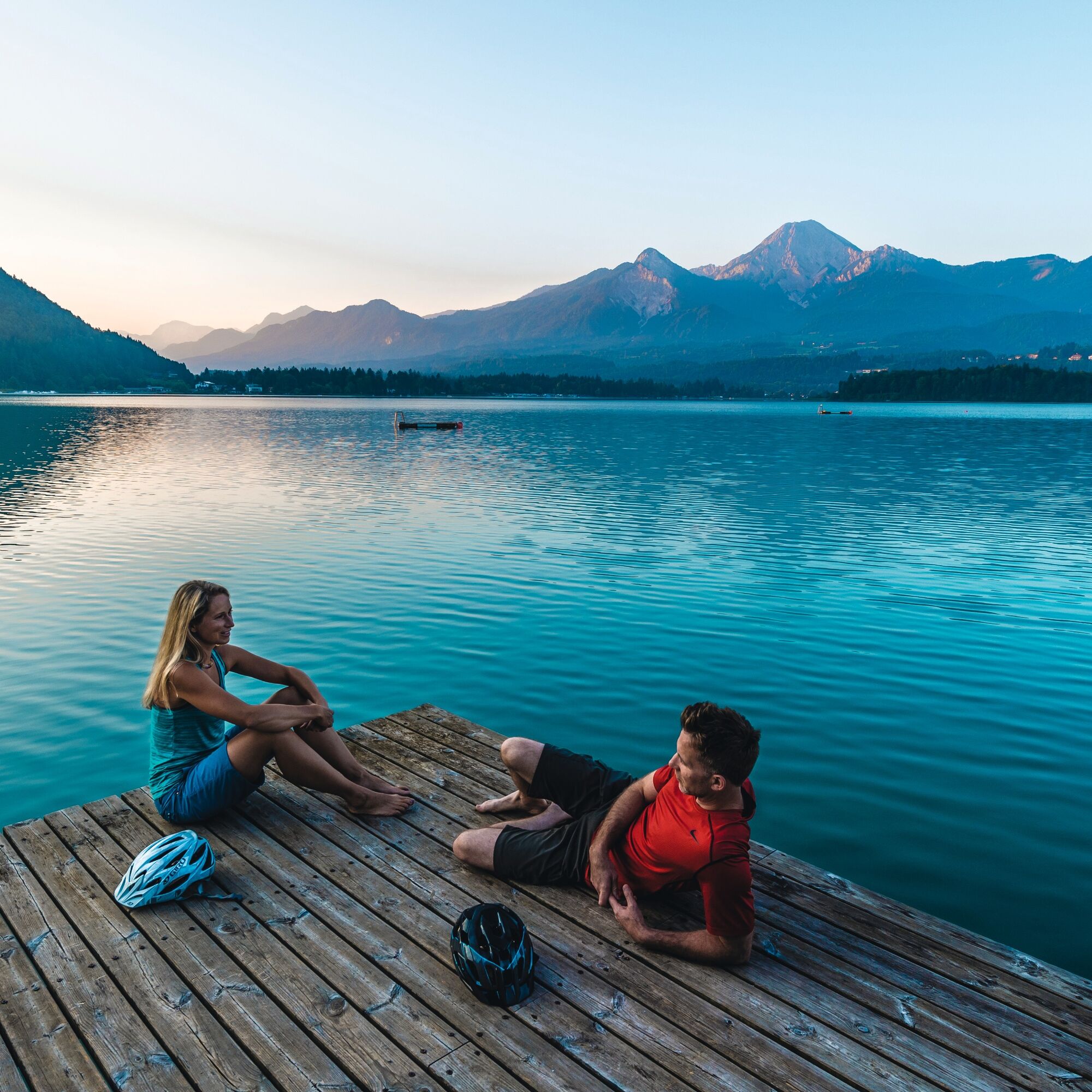
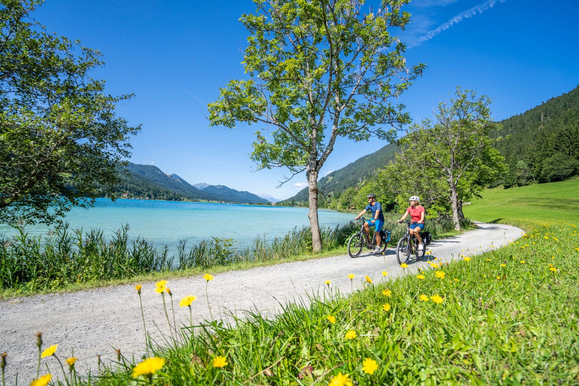
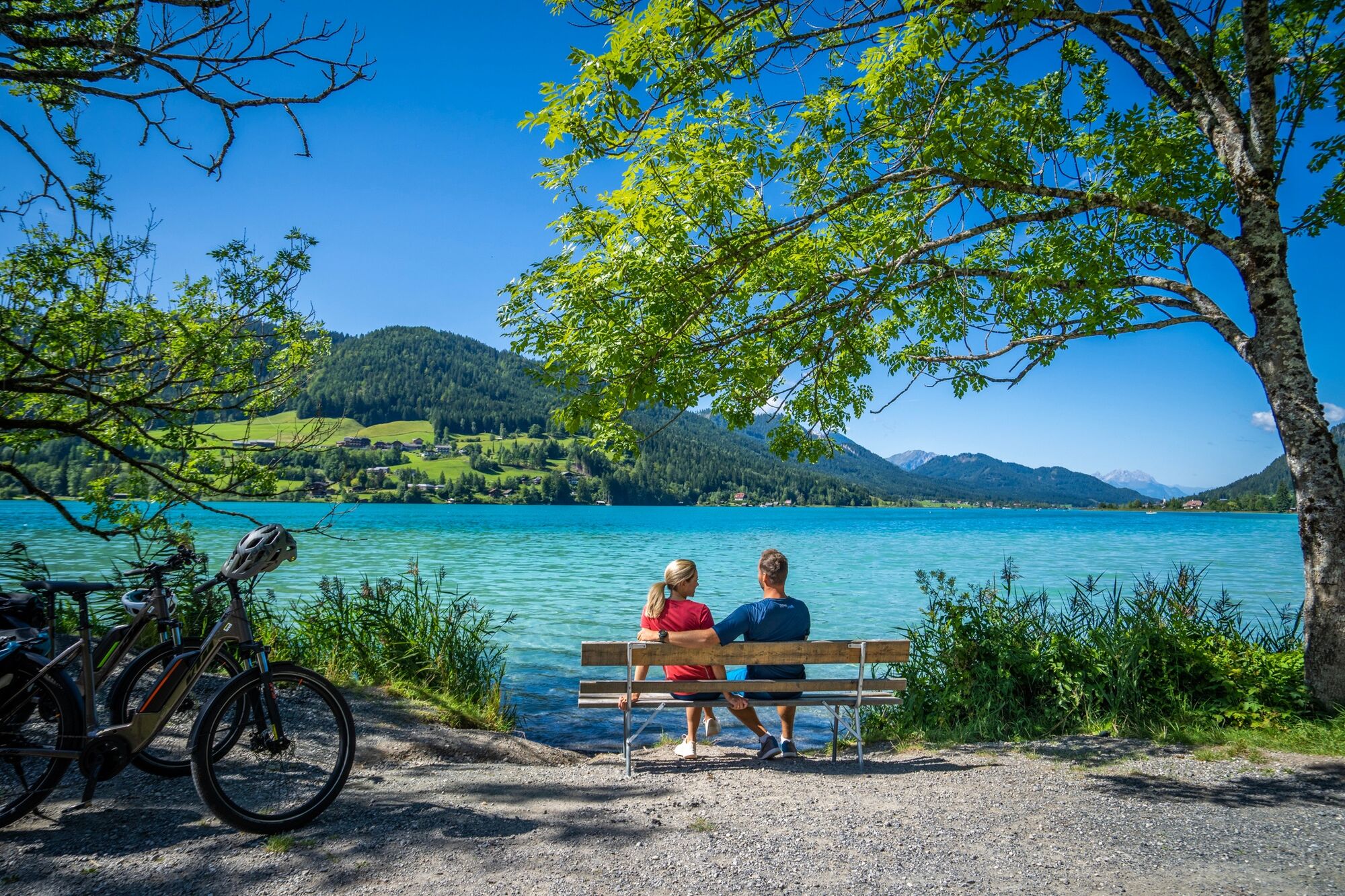
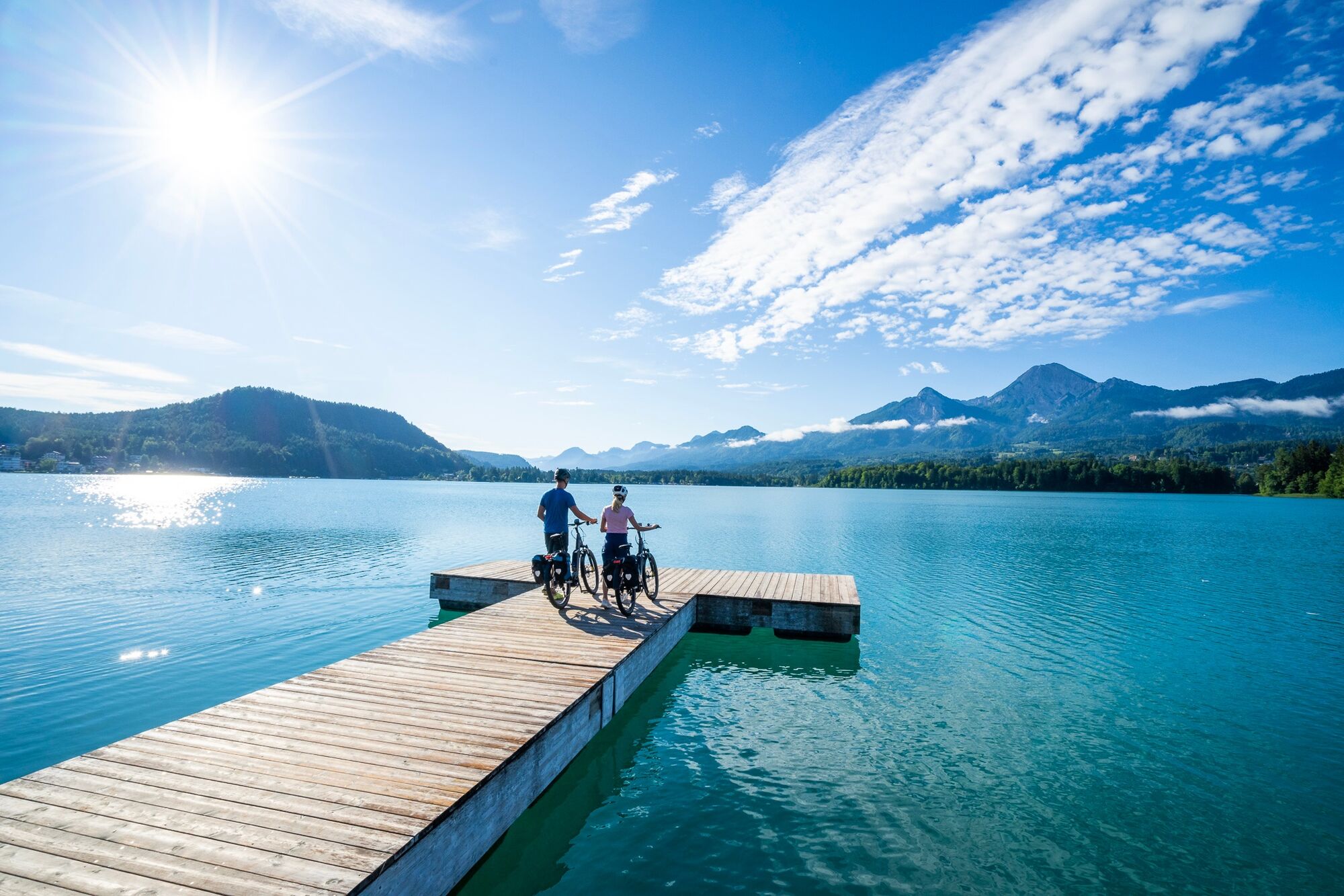
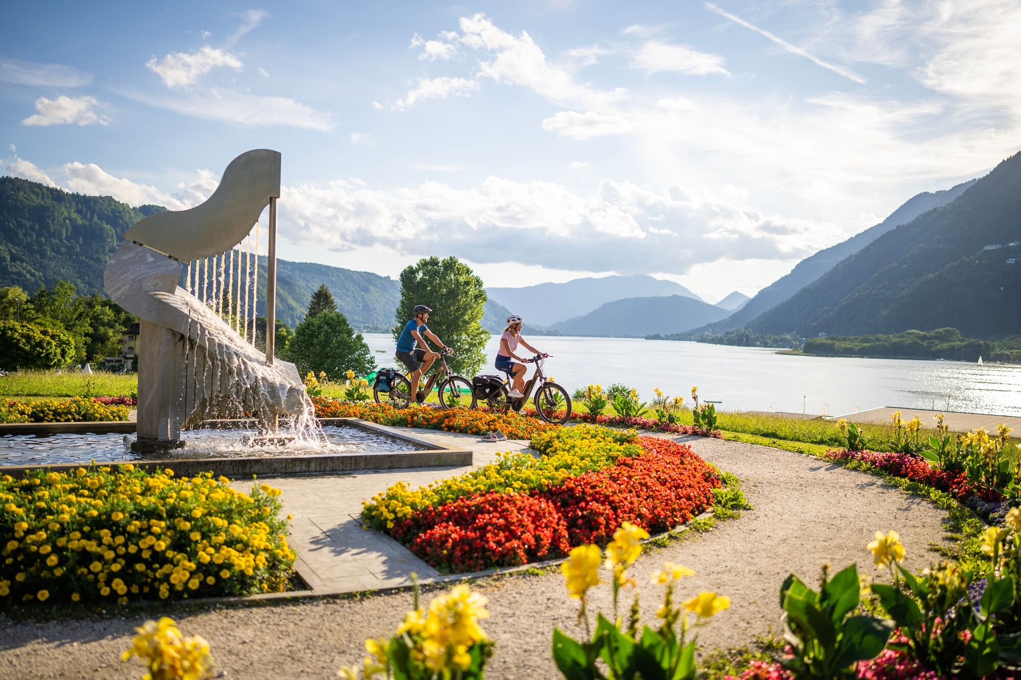
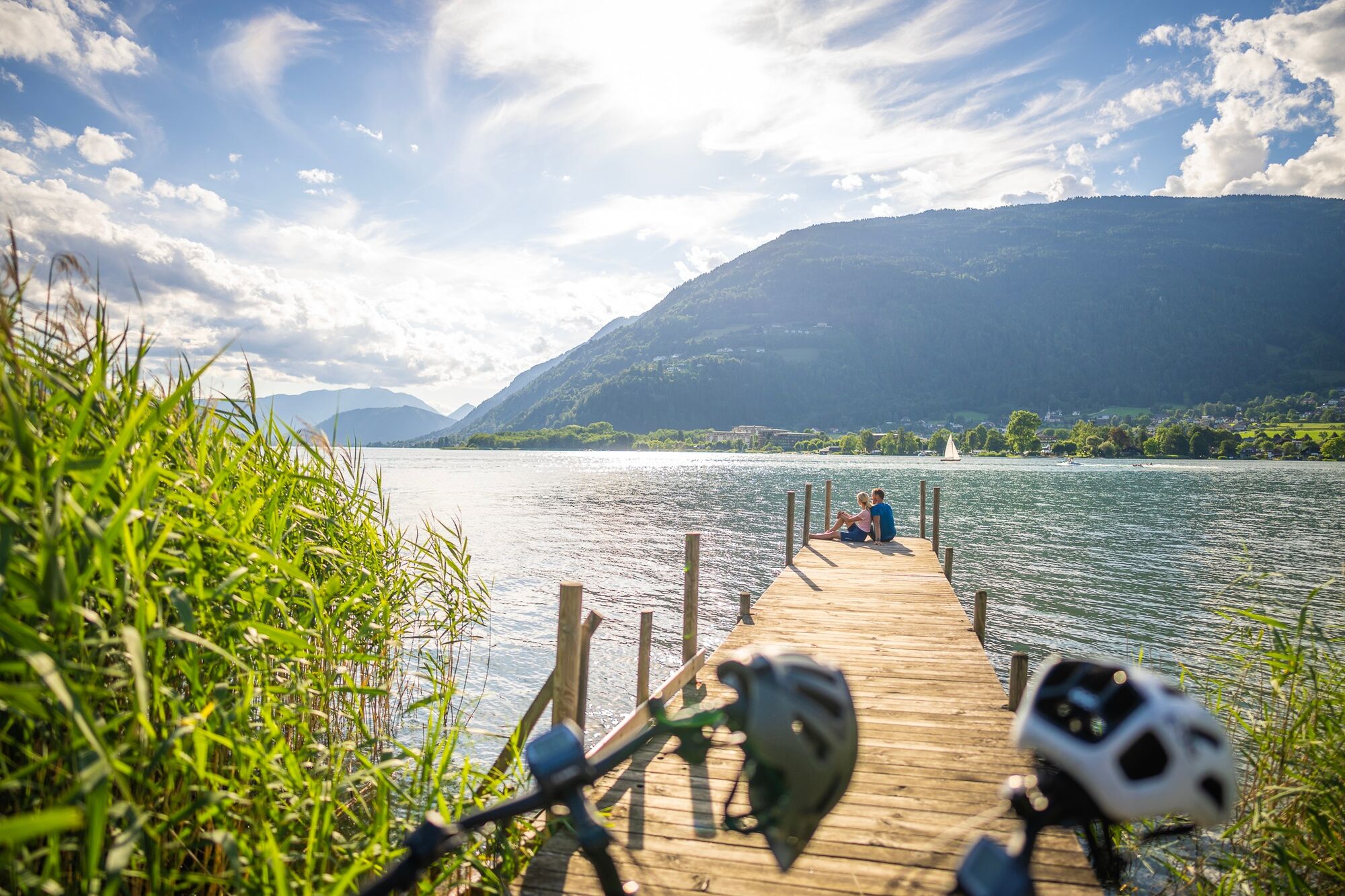
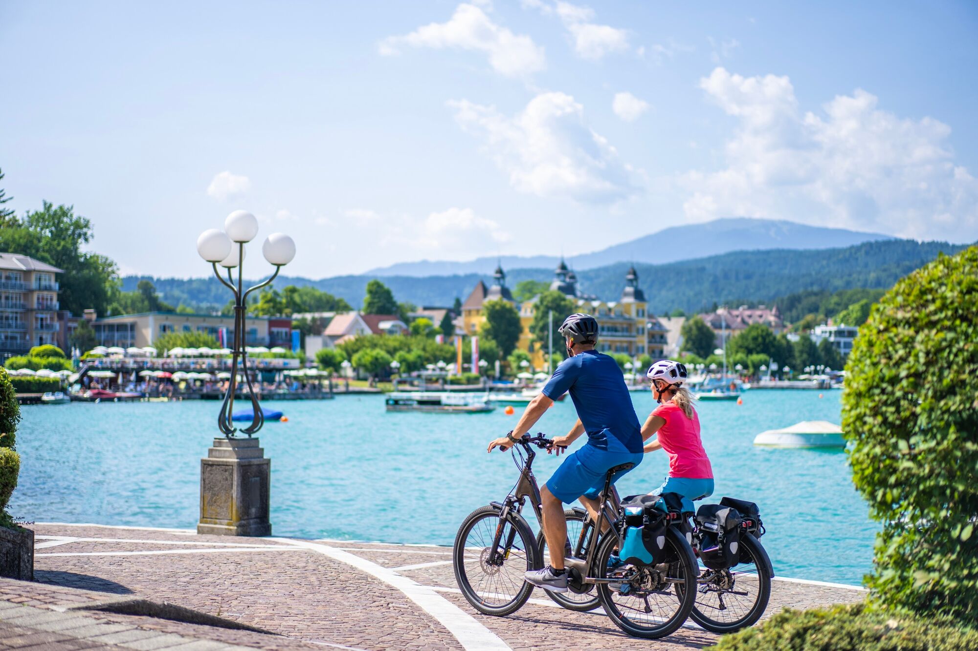
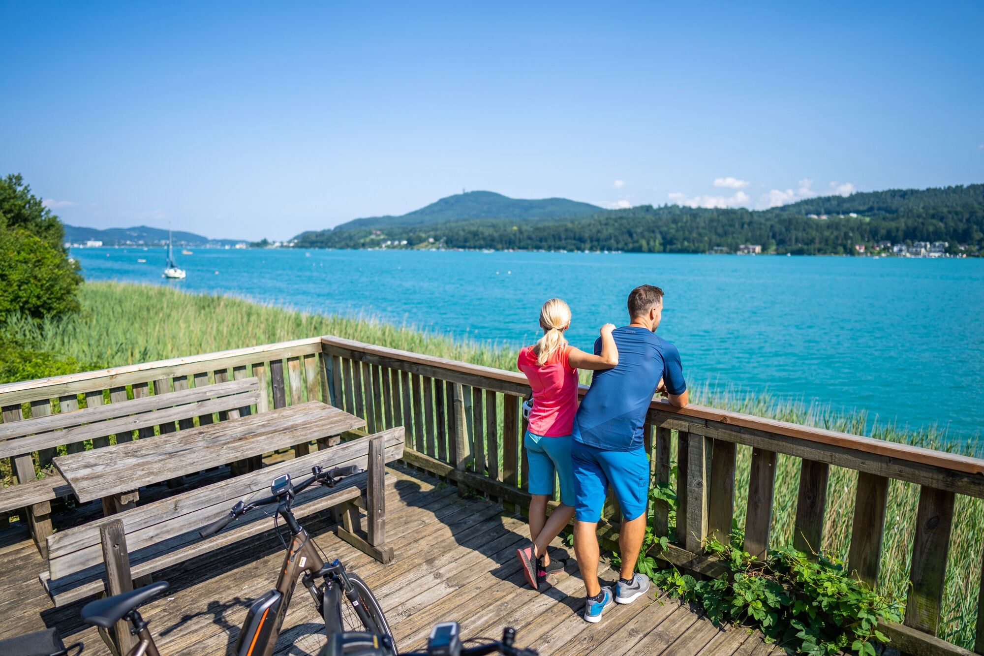
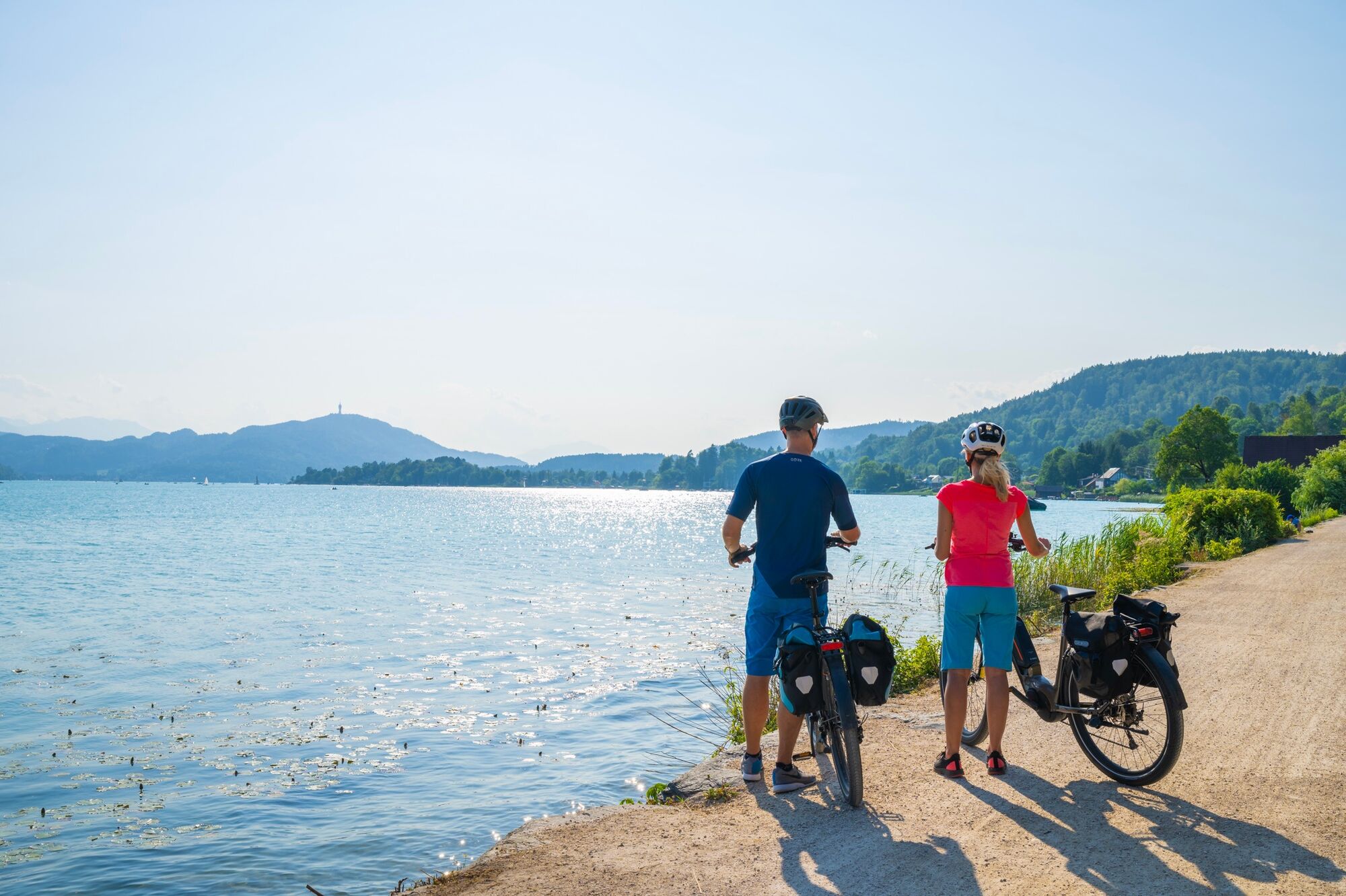
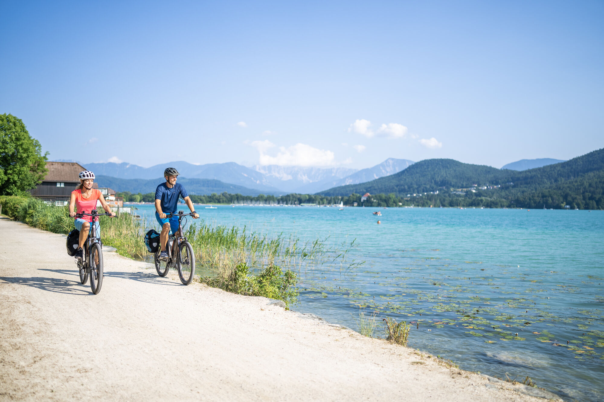
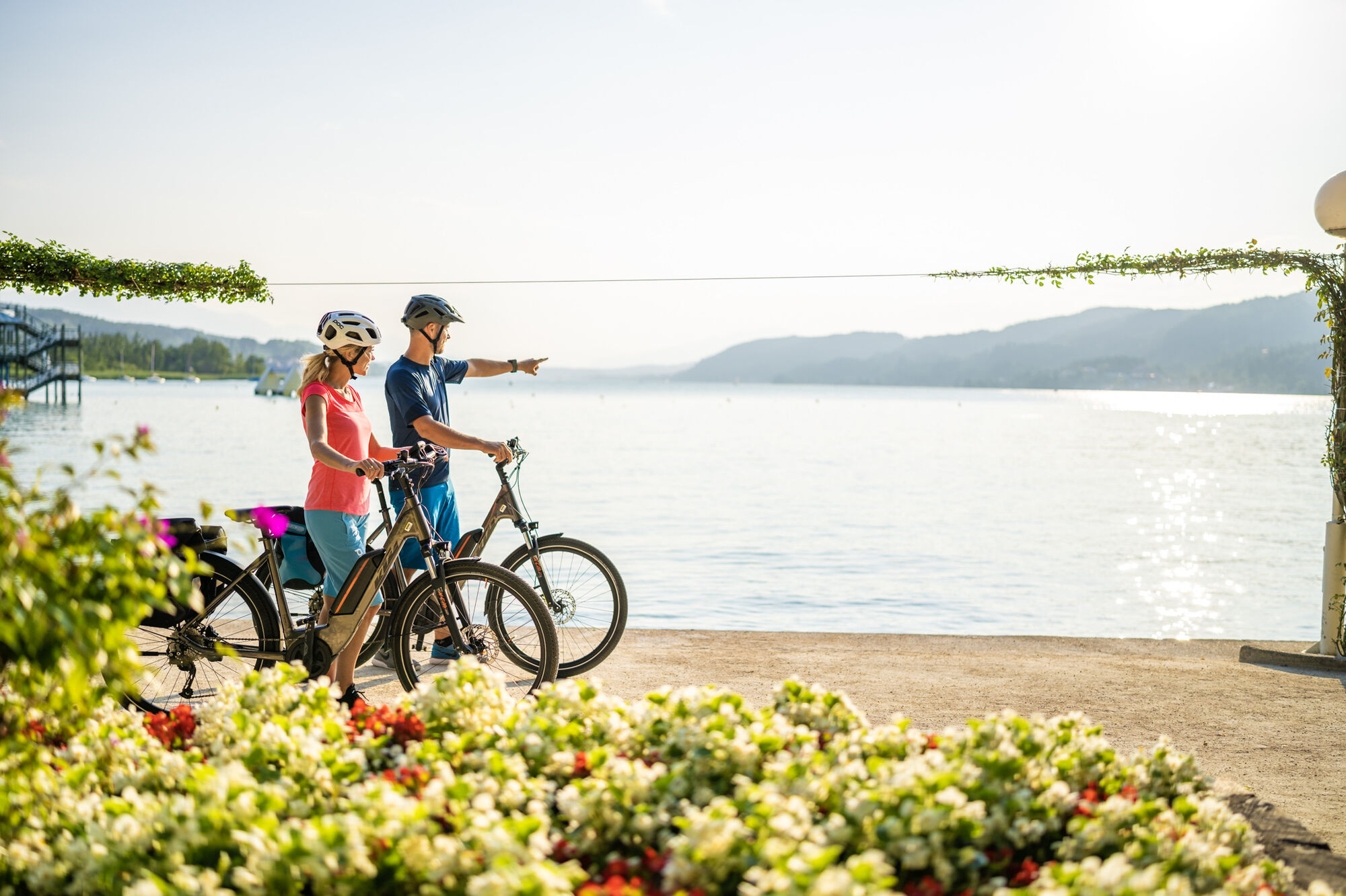
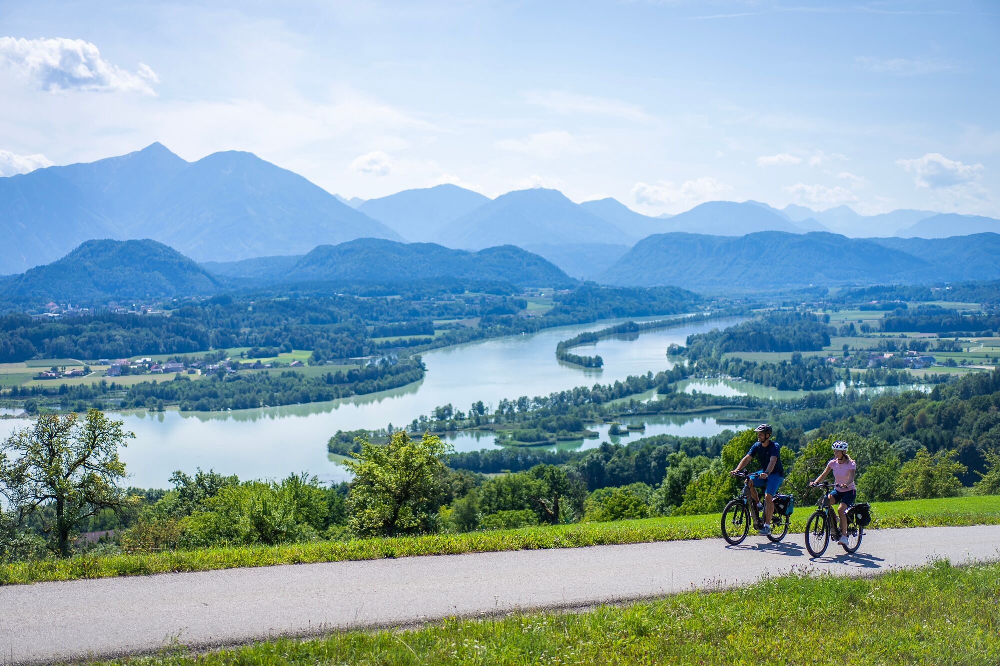
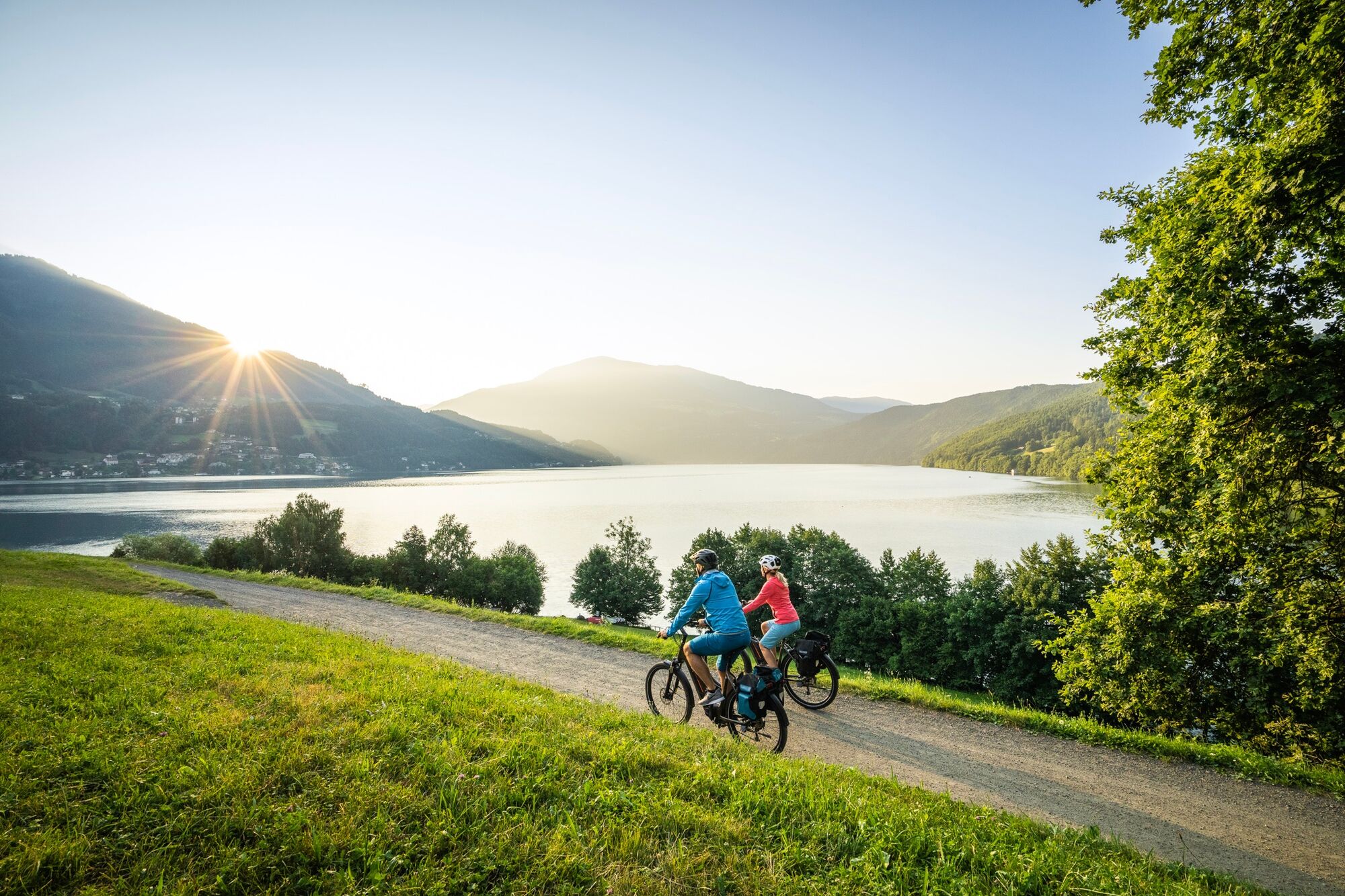
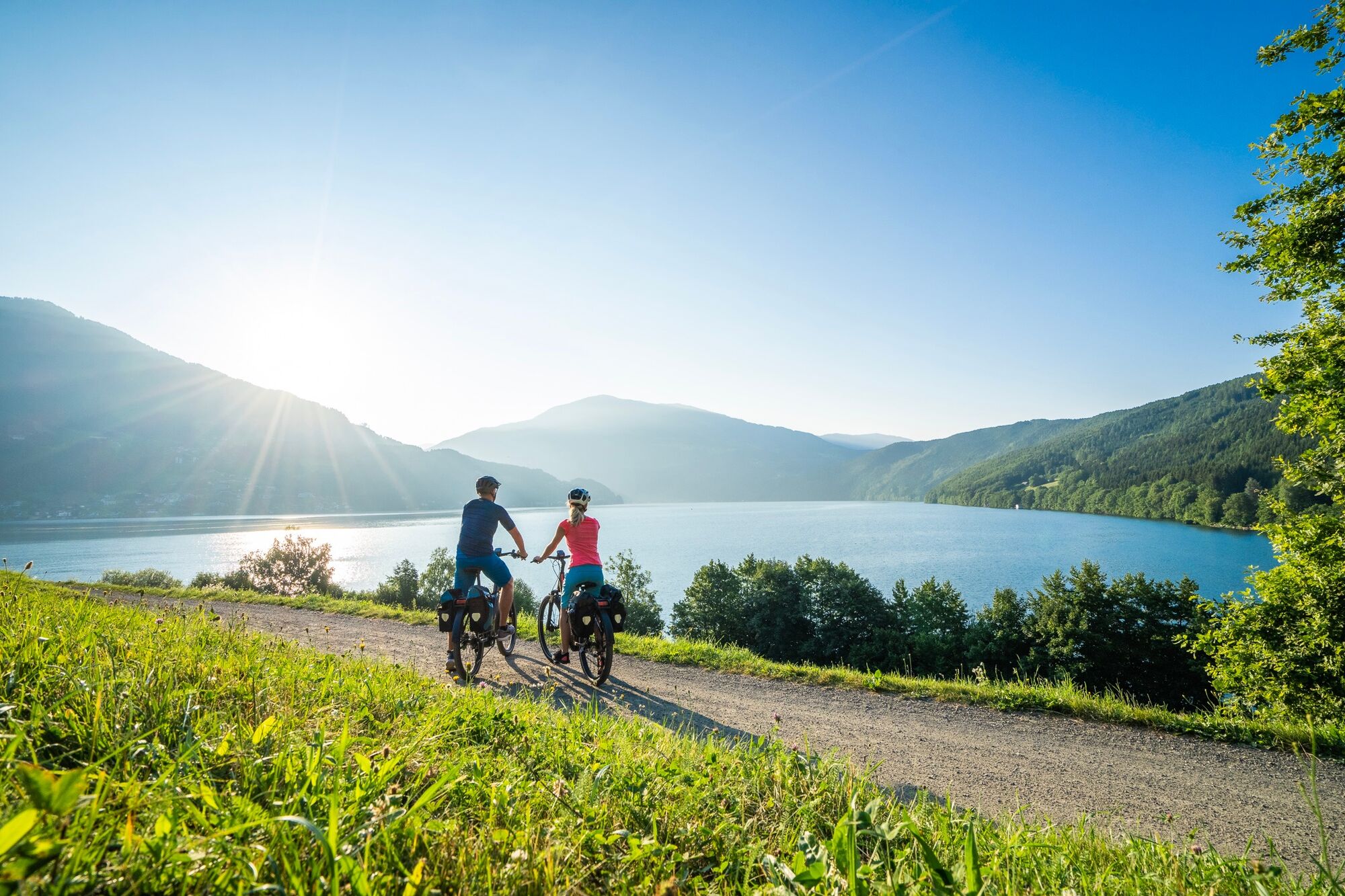
Pure cycling pleasure: Cycle with light luggage through Austria's sunny south – past blue and turquoise lakes embedded in the beautiful rolling and mountainous landscape on the border with Italy and Slovenia....
Pure cycling pleasure: Cycle with light luggage through Austria's sunny south – past blue and turquoise lakes embedded in the beautiful rolling and mountainous landscape on the border with Italy and Slovenia. Depending on time and condition, the roughly 430-kilometer-long varied route can be divided into as many stages as you like. Ideally, allow at least one week for the entire route. This allows enough time to enjoy the warm bathing lakes, nature, and special features along the way. Cyclists will find many accommodations along the route to suit all tastes and budgets. The route is also perfectly suited for e-bikes. Those without their own bike can rent a modern e-bike with accessories at one of around 50 rental stations in Carinthia and return it at another rental station if desired. Info: Carinthia rent e-bike
Attention!!
* Some sections lead over public state or federal roads! Please observe the traffic regulations!! Mainly concerns the section from Treffen to just before Afritz, where the route runs for about 4 km along a federal road (without cycle path).

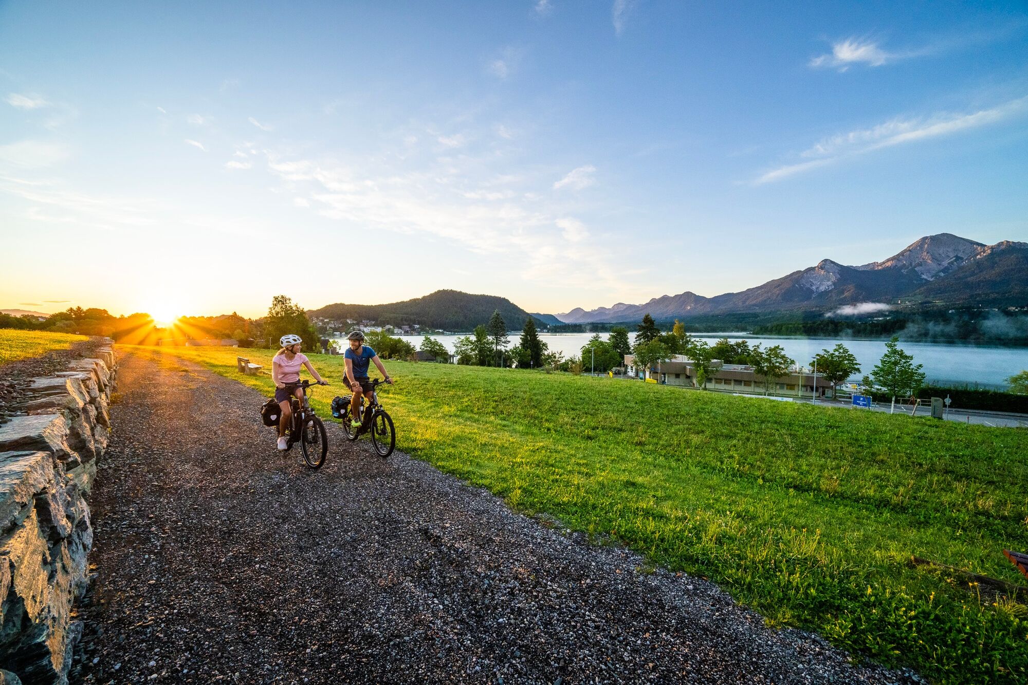
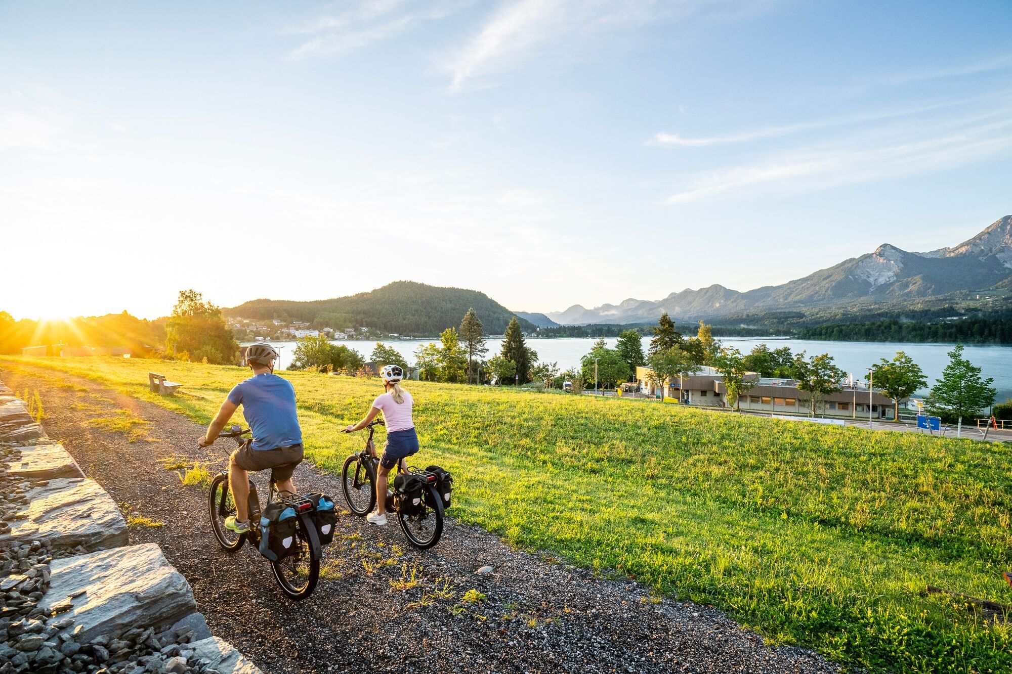
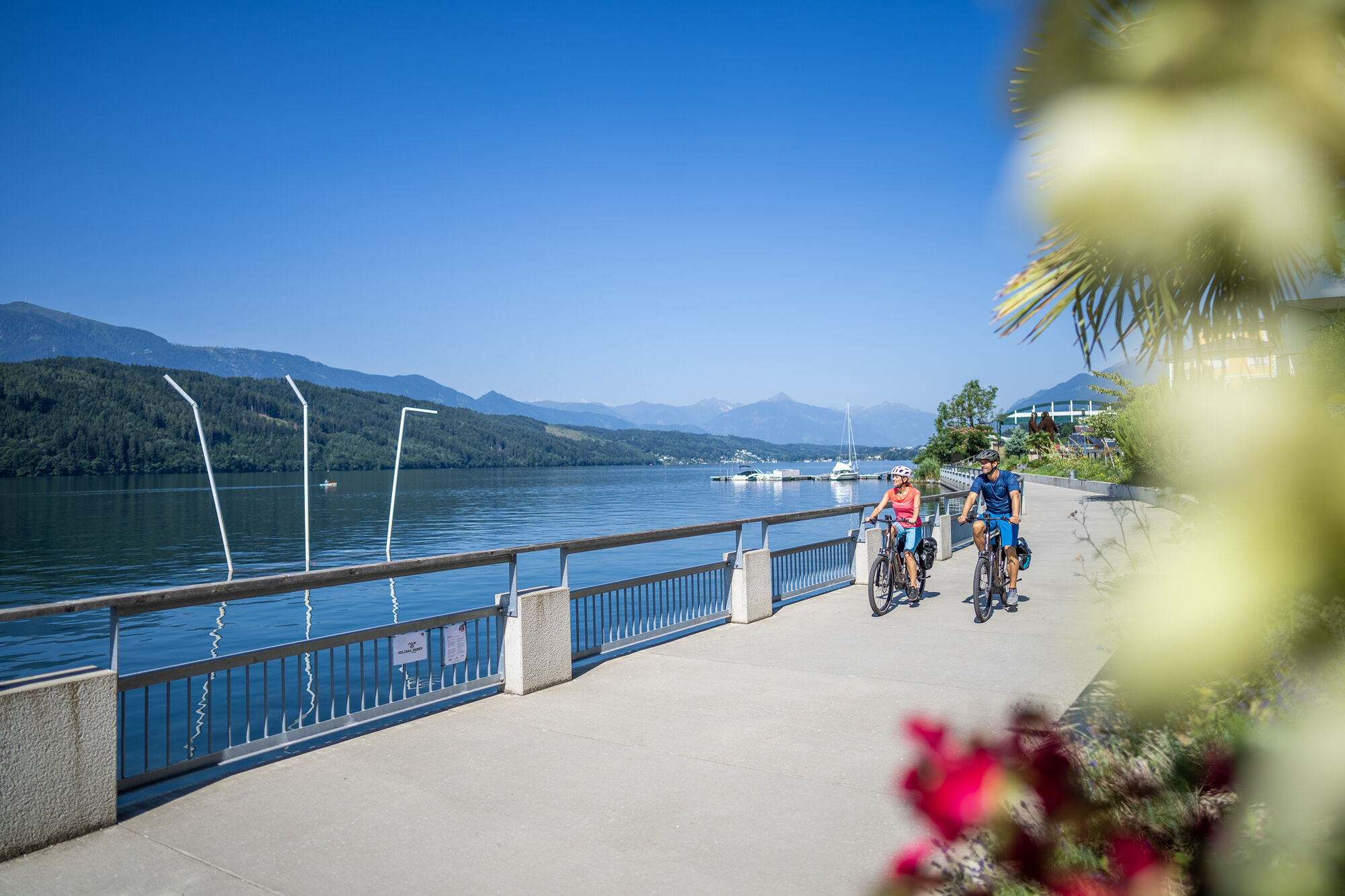
Stage 1: Villach - Millstatt
67 kilometers, 690 meters of elevation
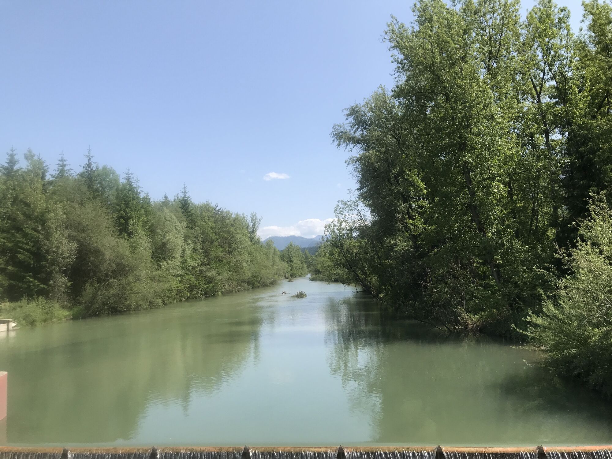
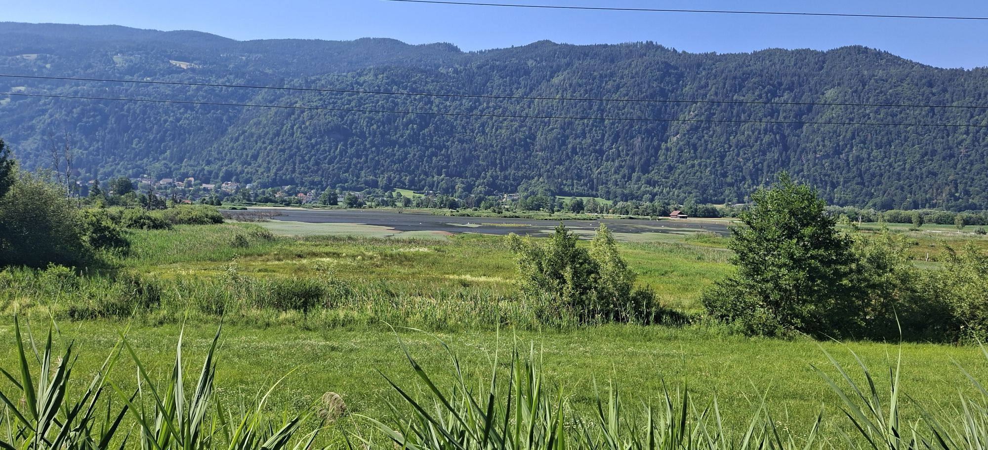
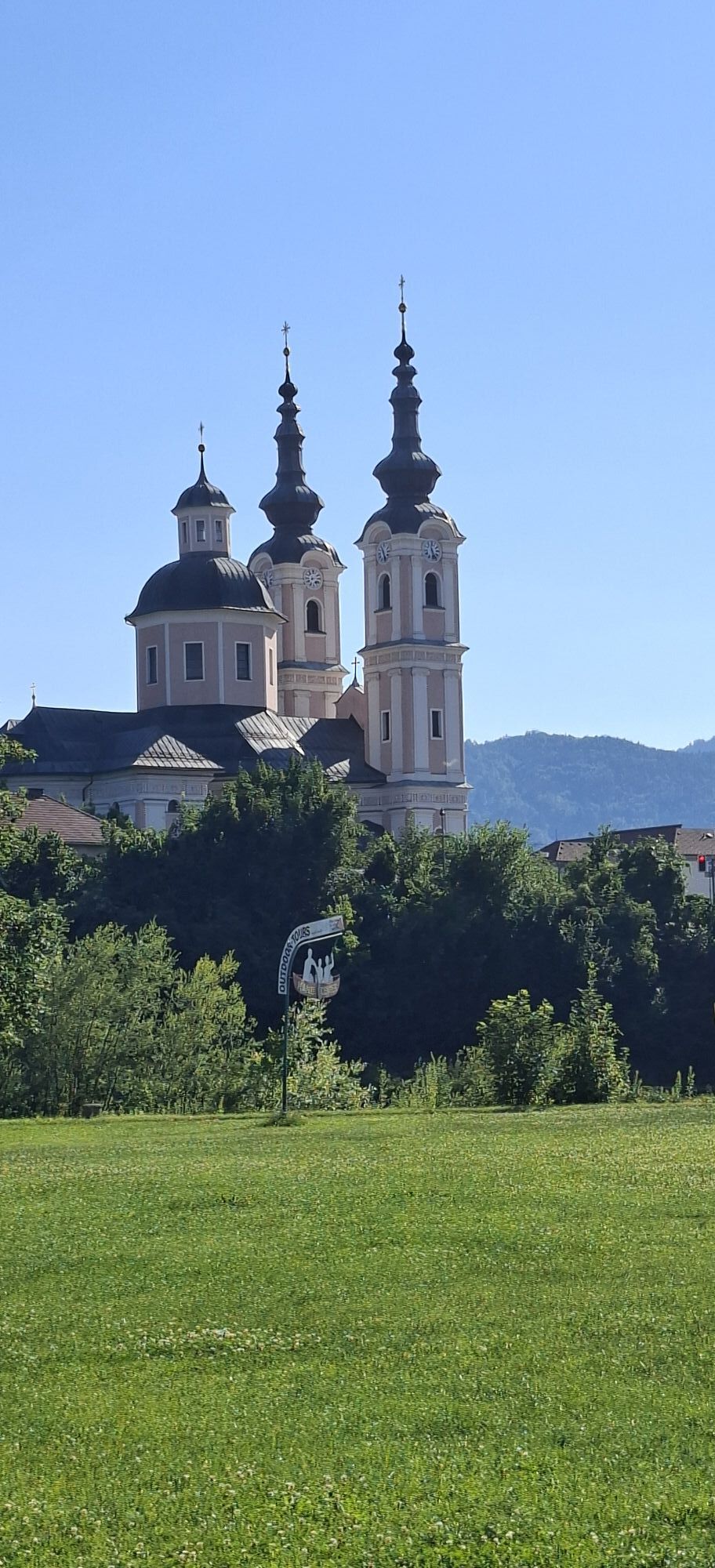
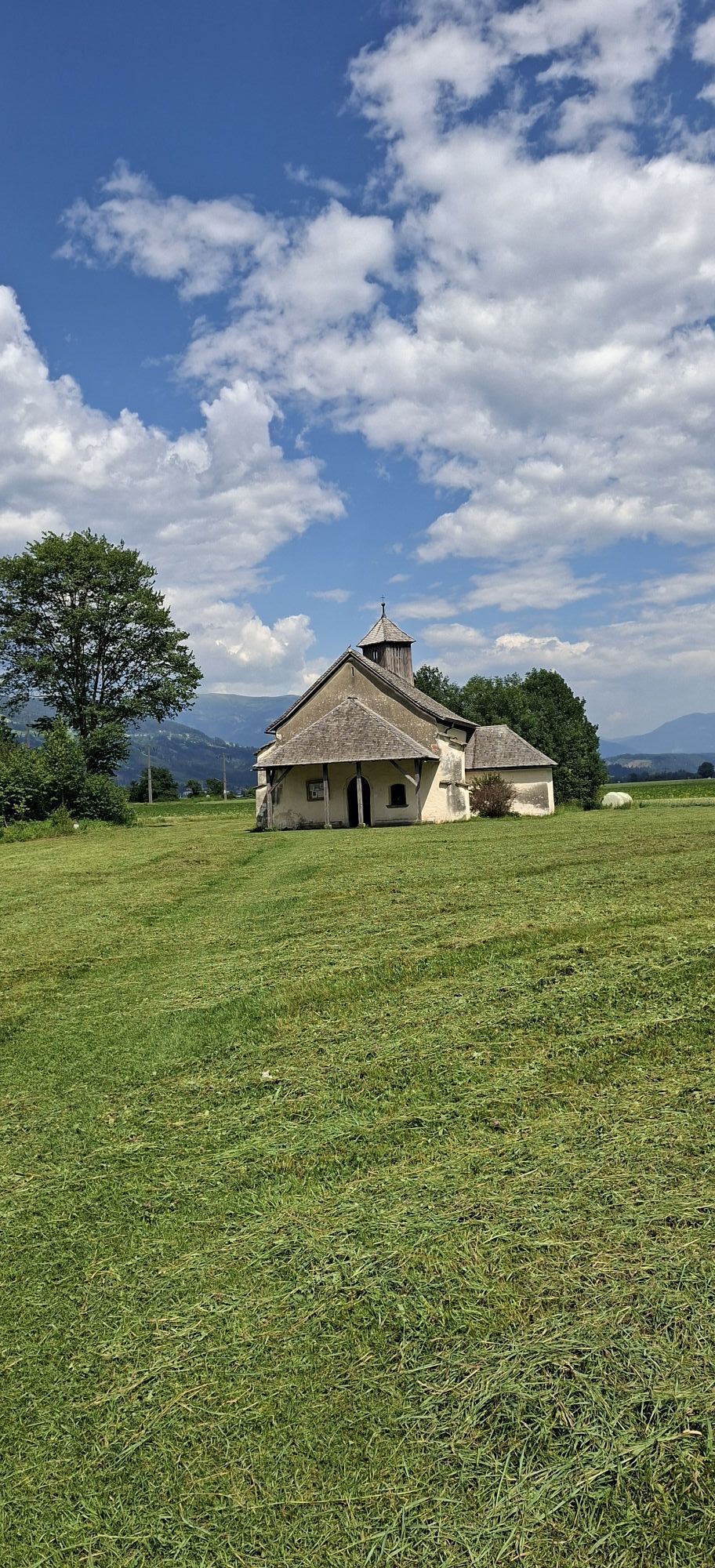
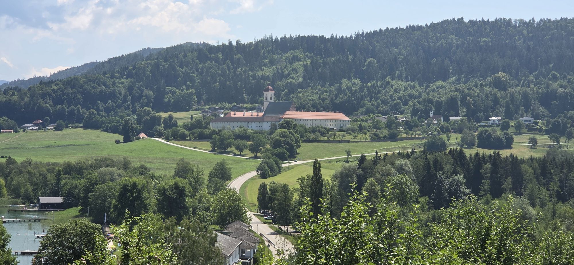
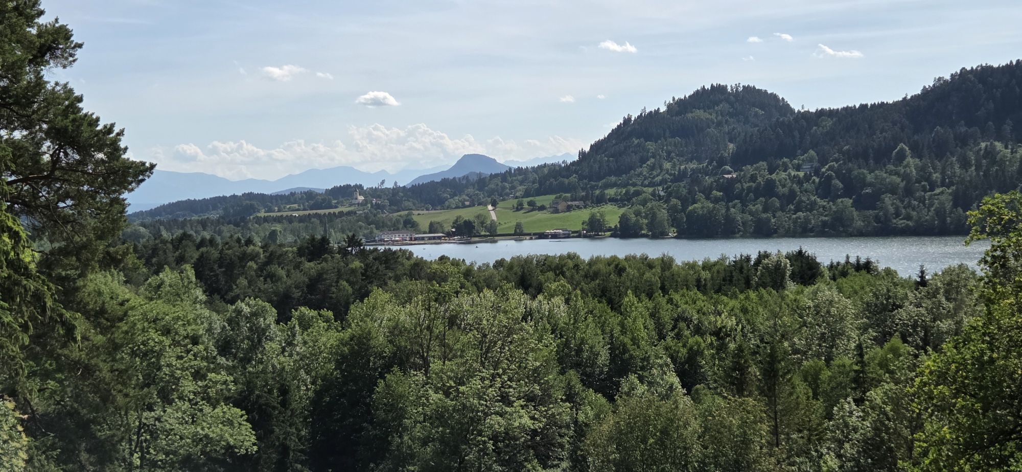
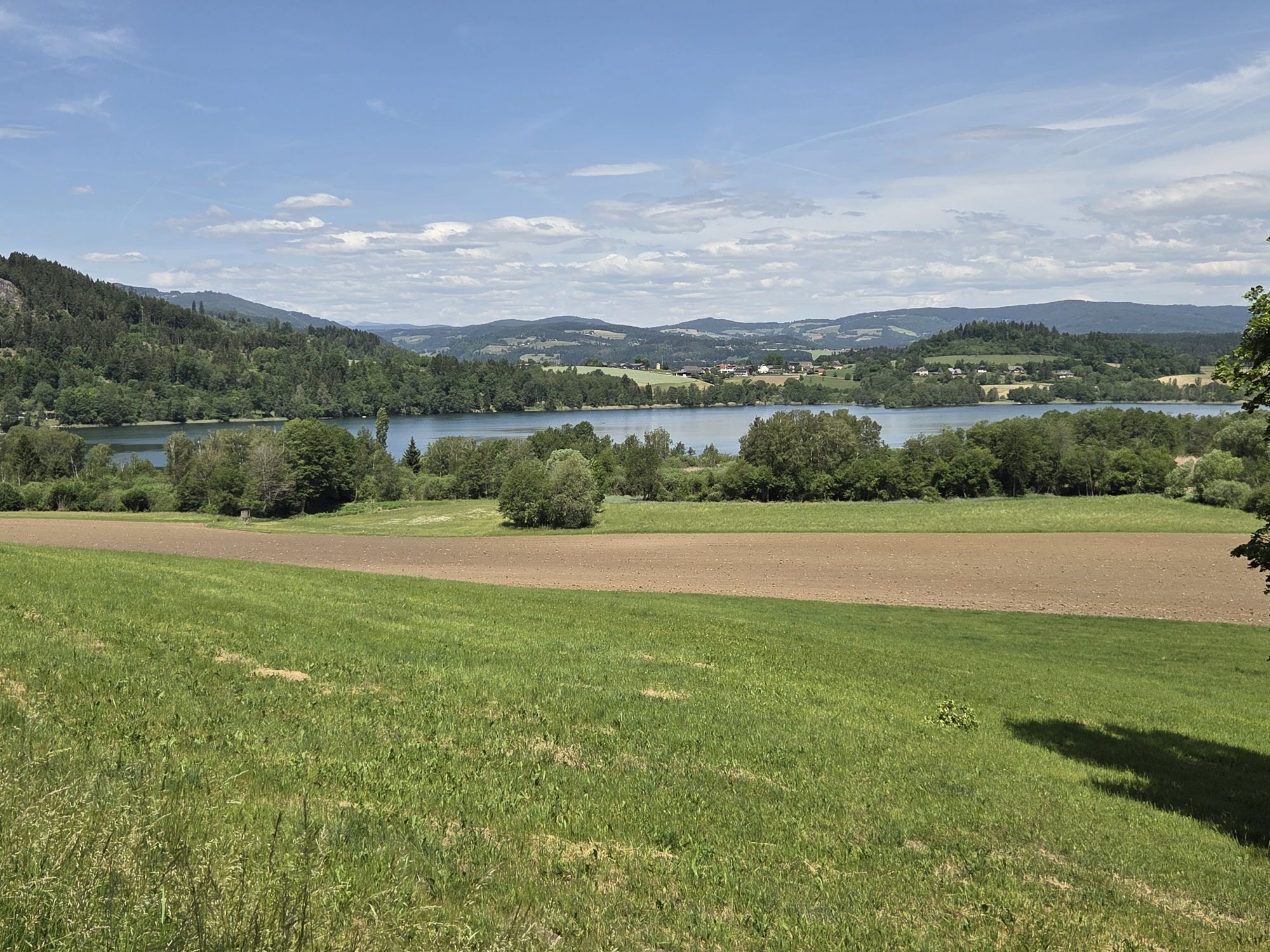
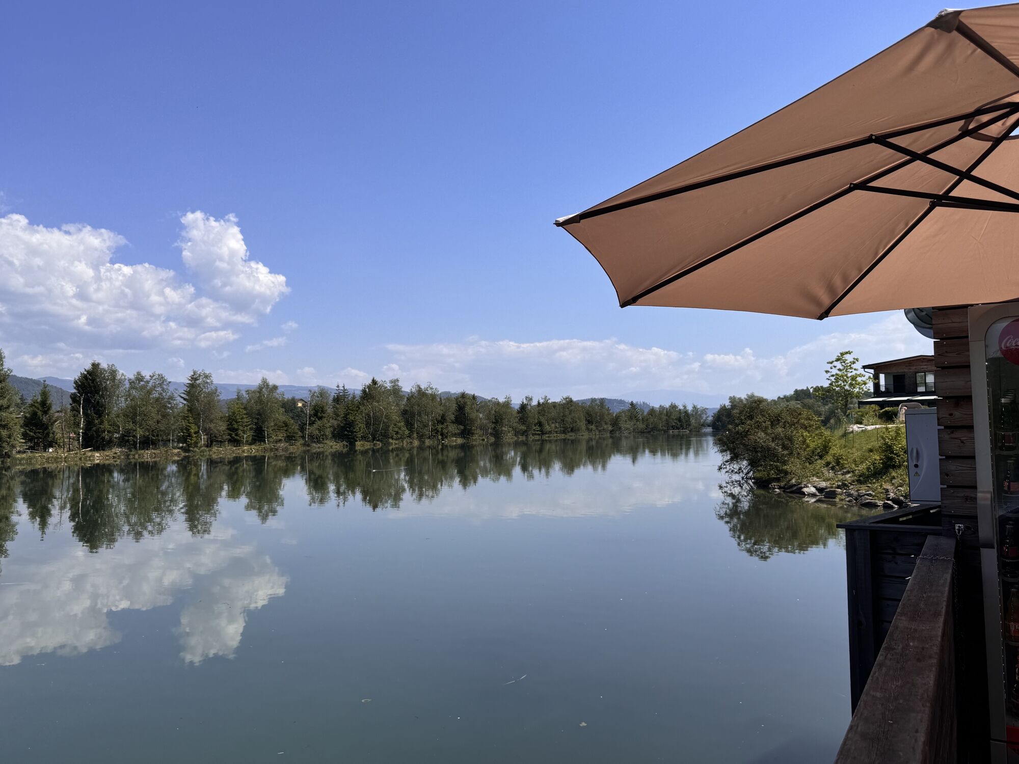
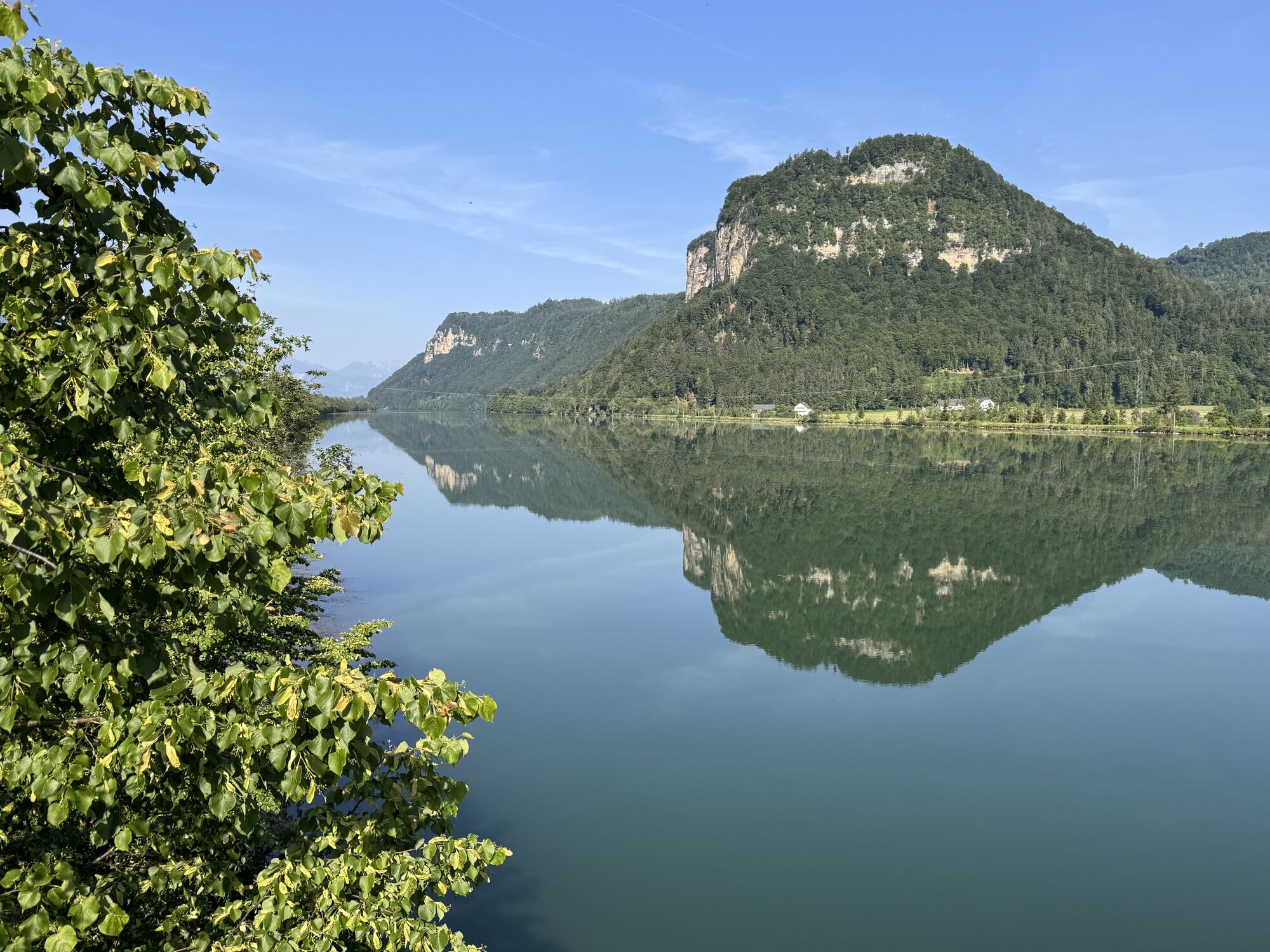
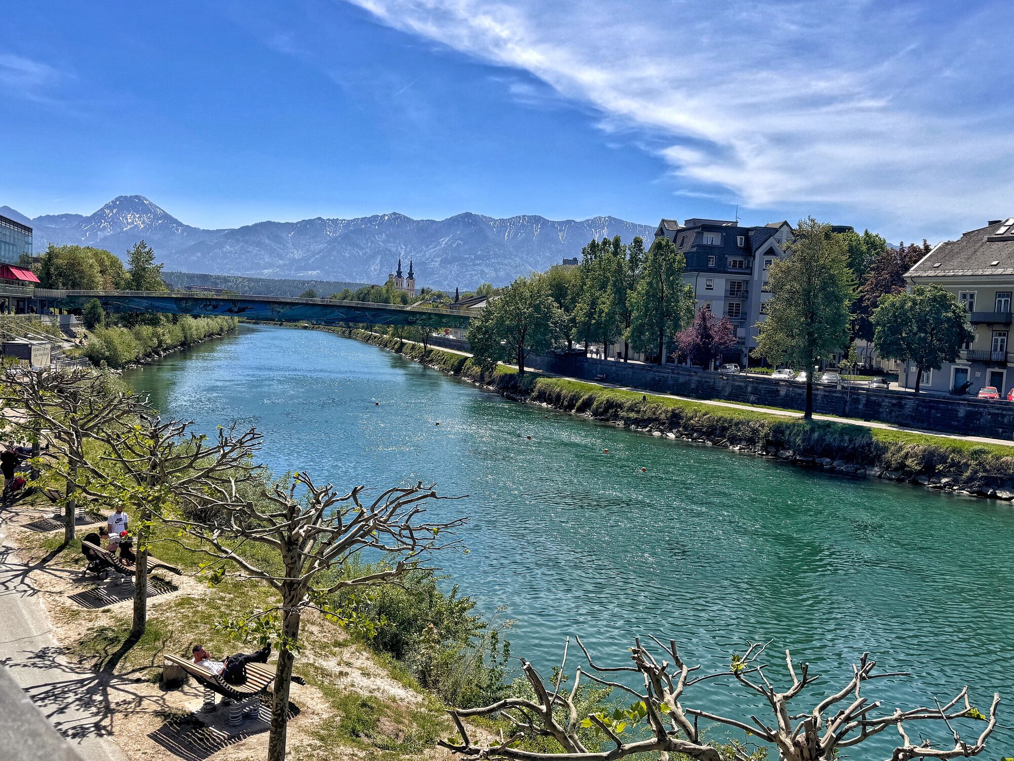
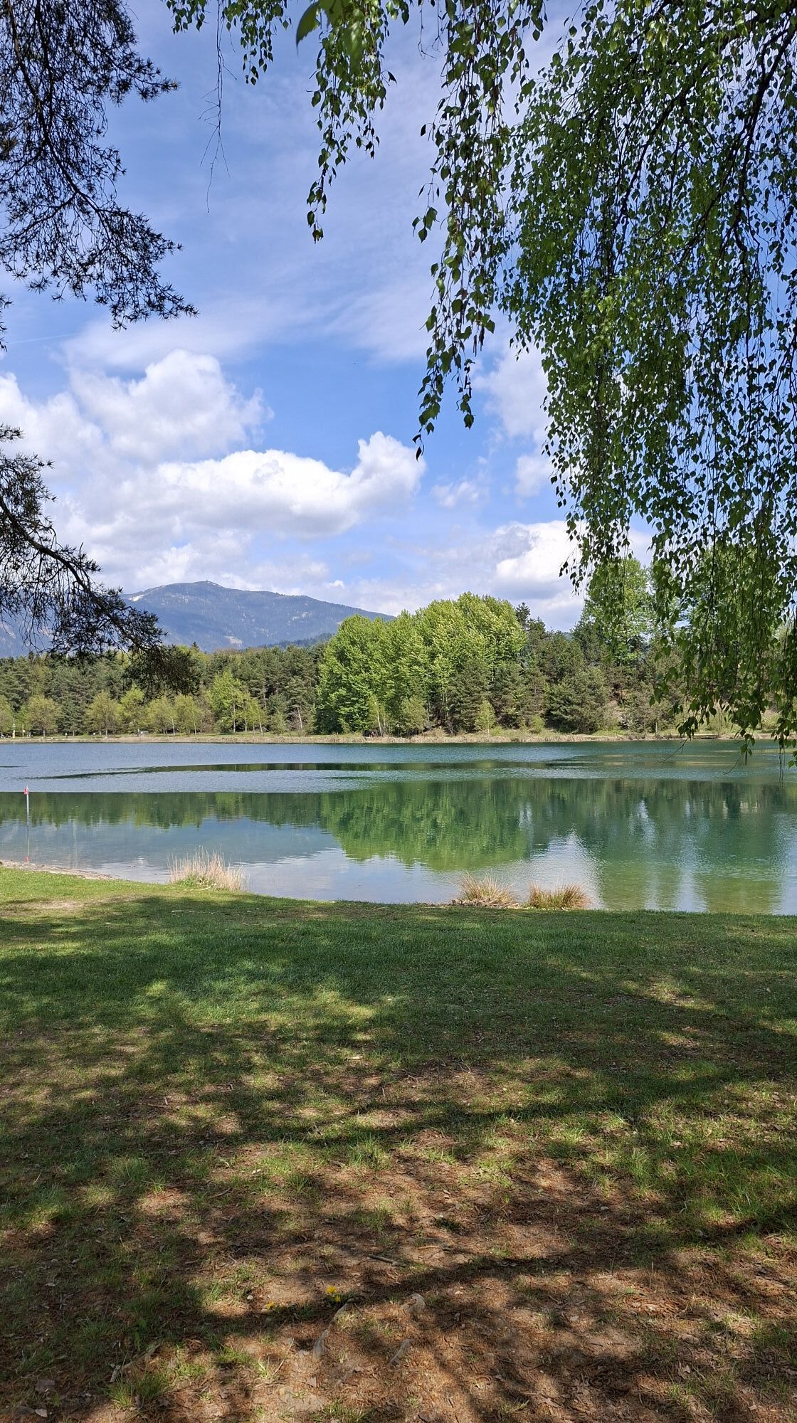
The start and finish of the Carinthia Lakes Loop is at the striking red Peace Bridge, which crosses the Drava River east of Villach. Following a bike path north, the Ossiacher See is reached after about five kilometers. The Ossiacher See is circled counterclockwise with great views of the water and surrounding mountains. A short visit to the impressive monastery in Ossiach with its Baroque church from the eleventh century is worthwhile. After circling the lake, the first longer ascent follows. The road winds for about 15 kilometers along the Afritzer Bach up to Afritzersee and Feldsee. Then it goes through Radenthein to the east shore of Millstätter See, continuing via Dellach to Millstatt.
Route details: Follow R2 to Steindorf, there switch to R2A back towards Villach until St. Andrä on the west shore of Ossiacher See. Then follow R2 to Annenheim, in Annenheim take R2B towards Millstättersee.
Places of interest nearby:
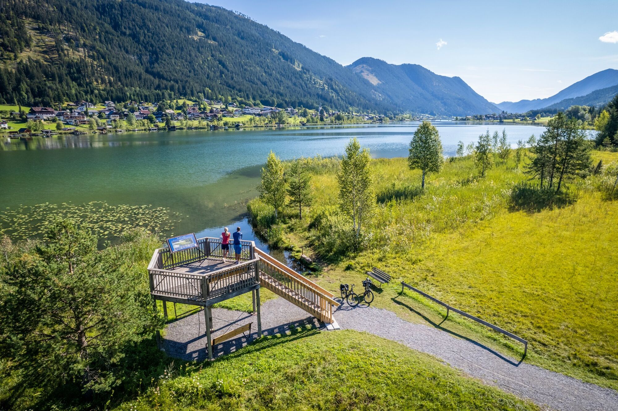
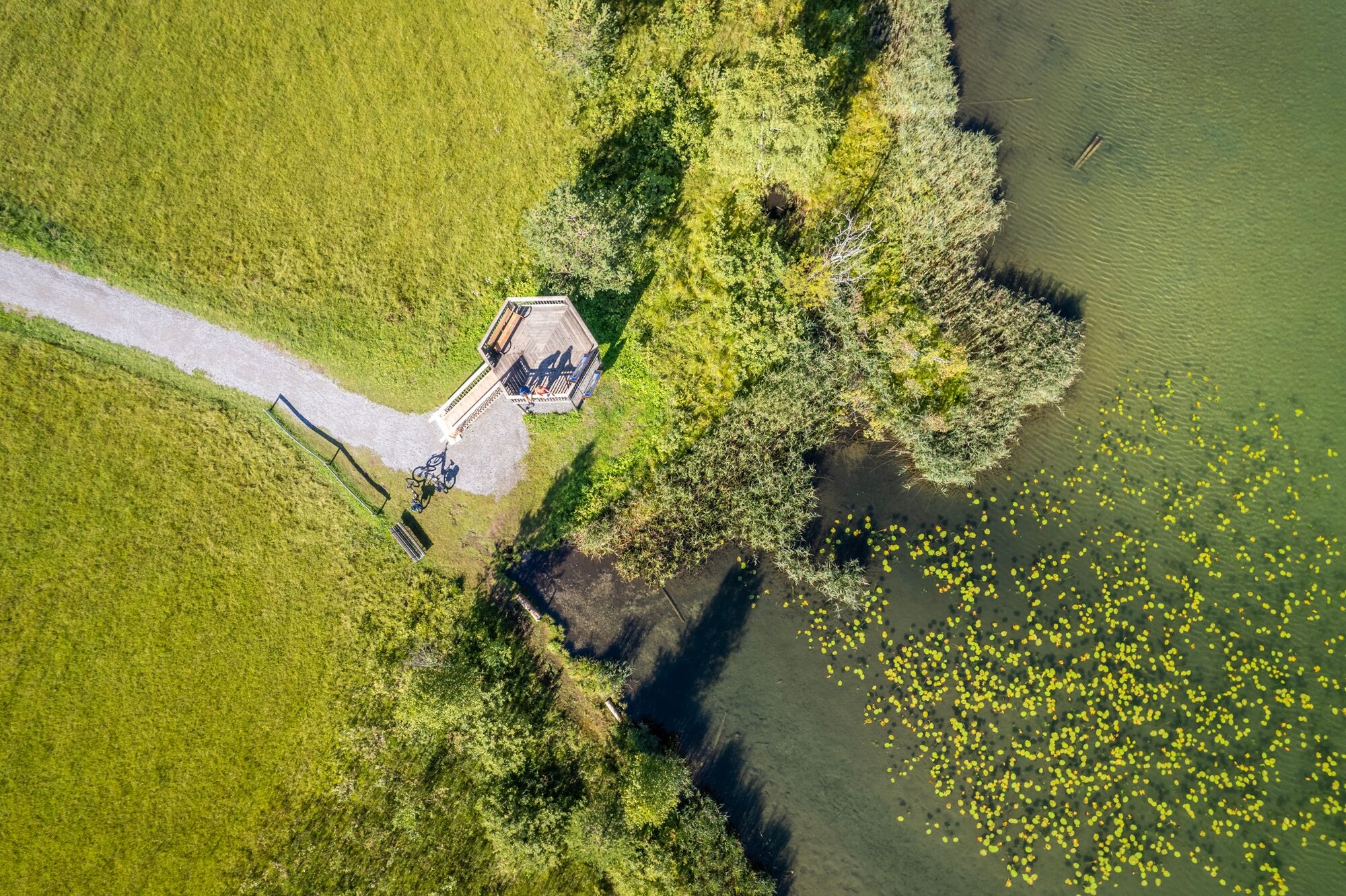
Slow Trail Bleistätter Moor/Ossiacher See
Show cheese dairy Kaslabn'n Radenthein
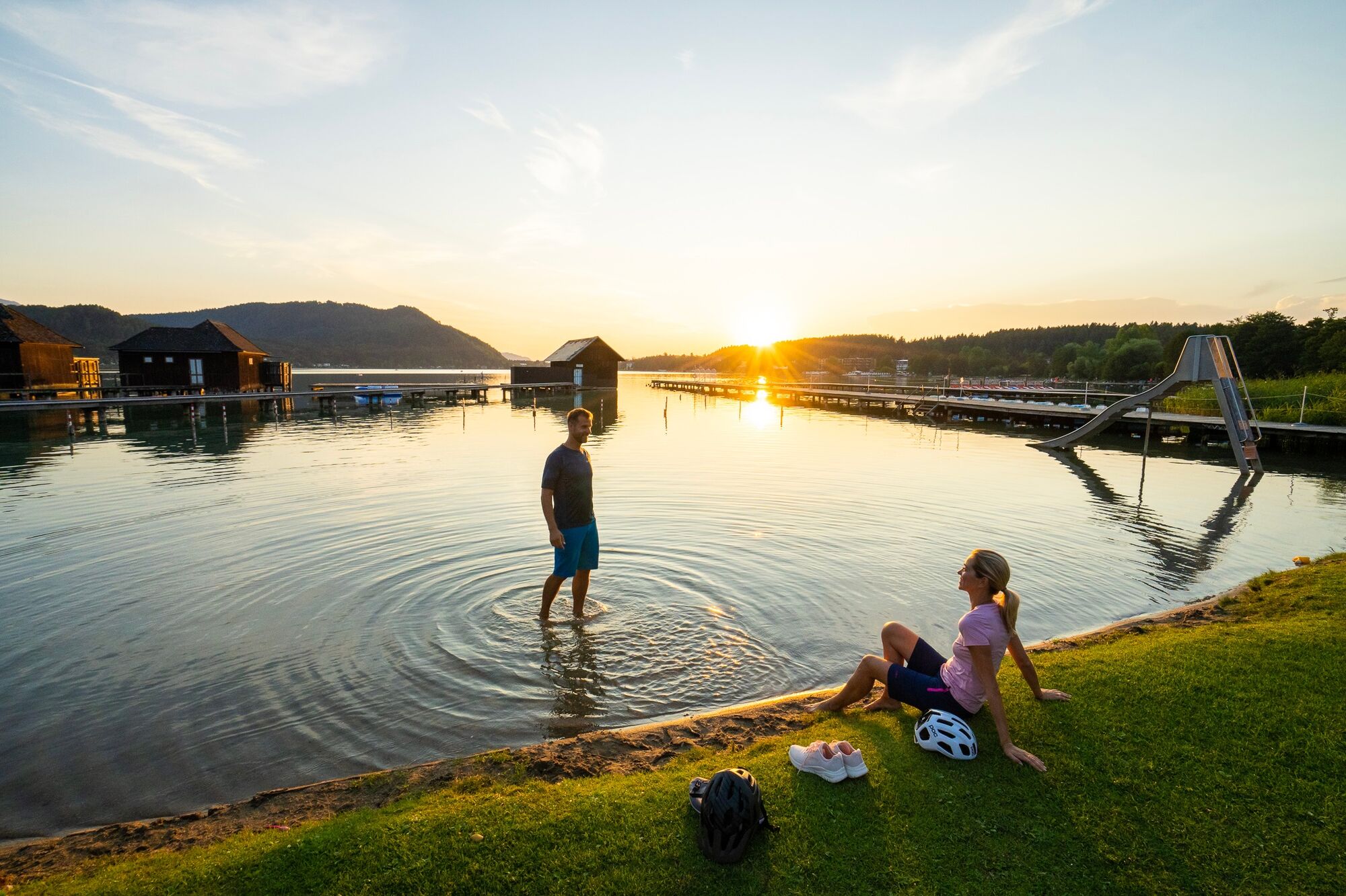
First Carinthian Bathhouse at Millstätter See
Stage 2: Millstatt - Techendorf
49 kilometers, 732 meters of elevation
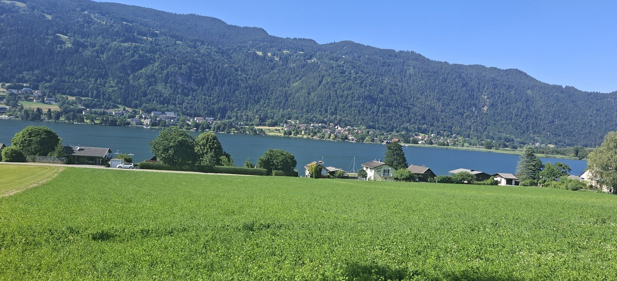
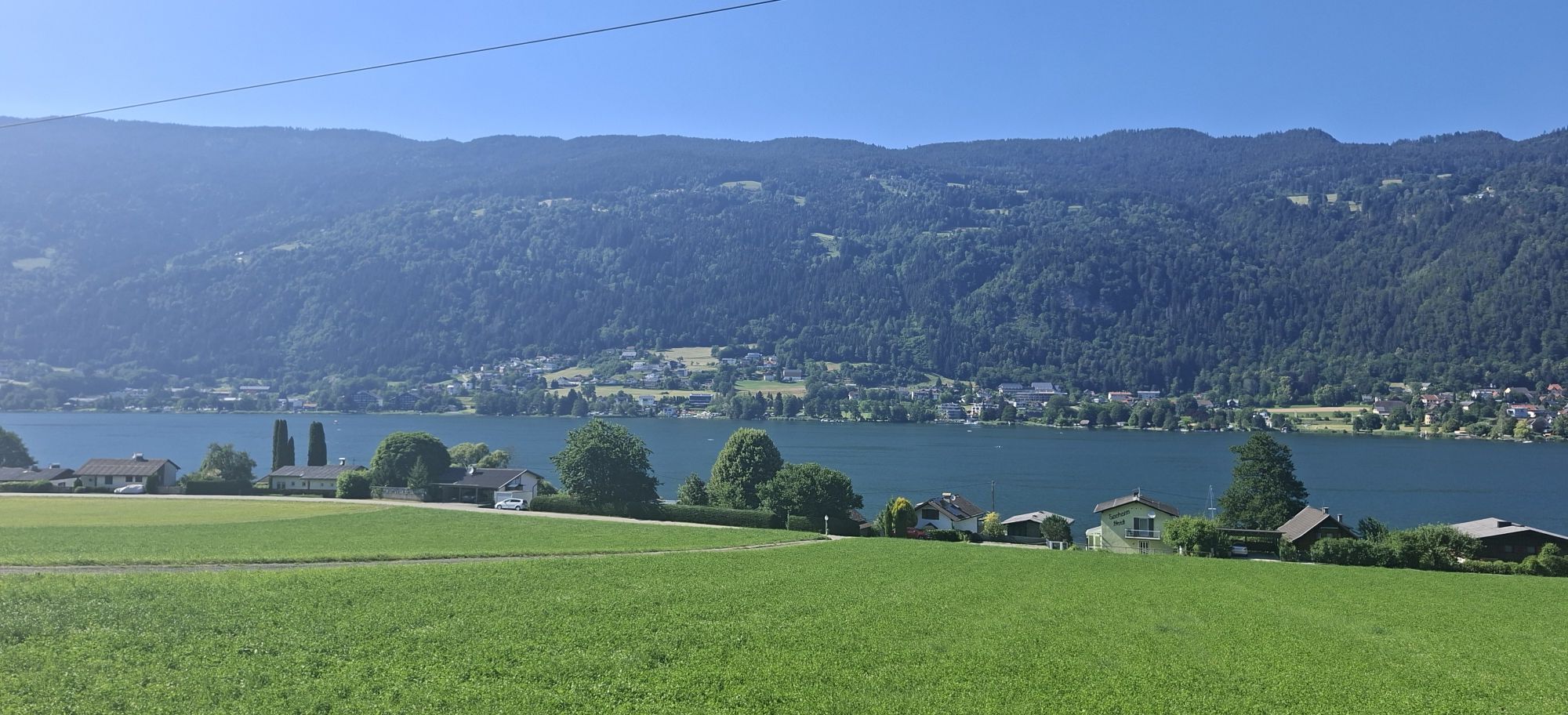
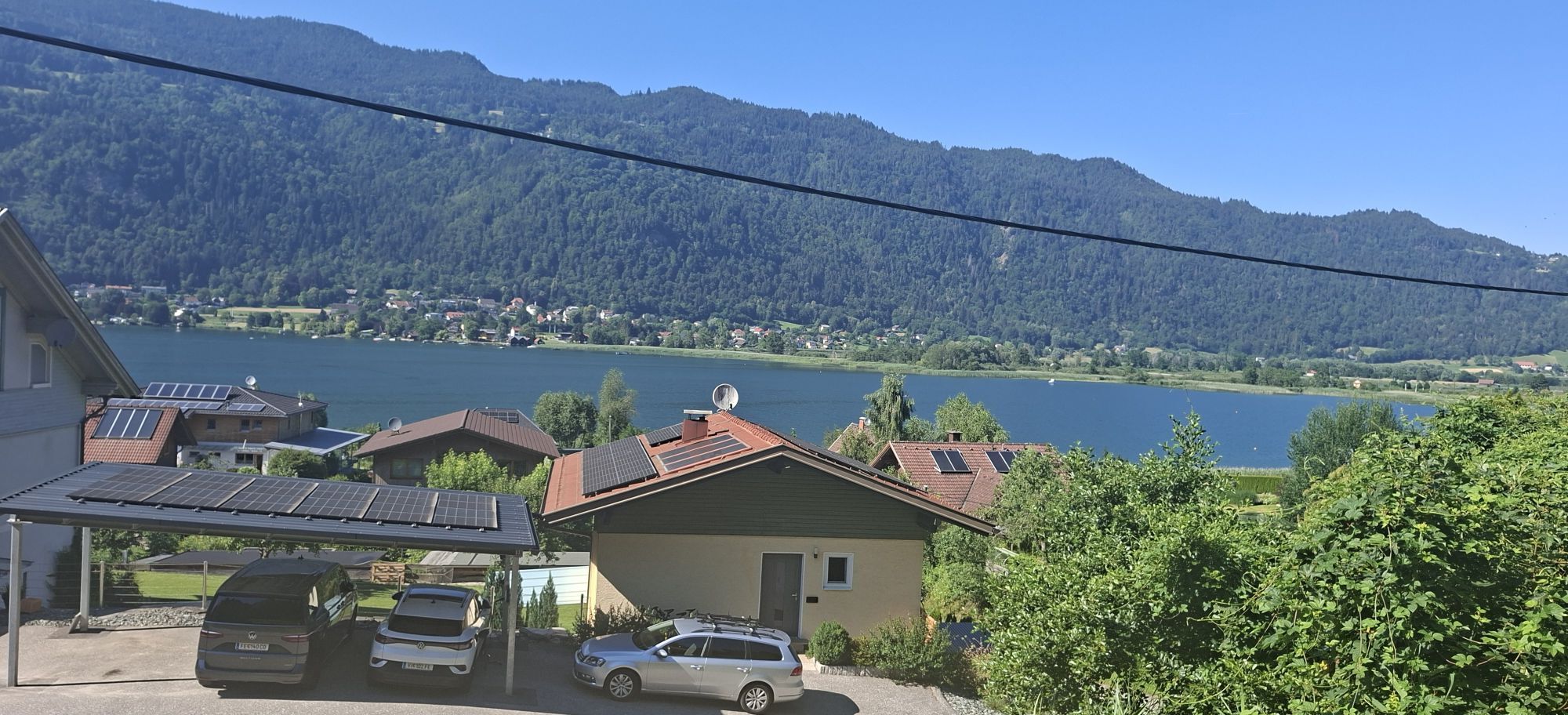
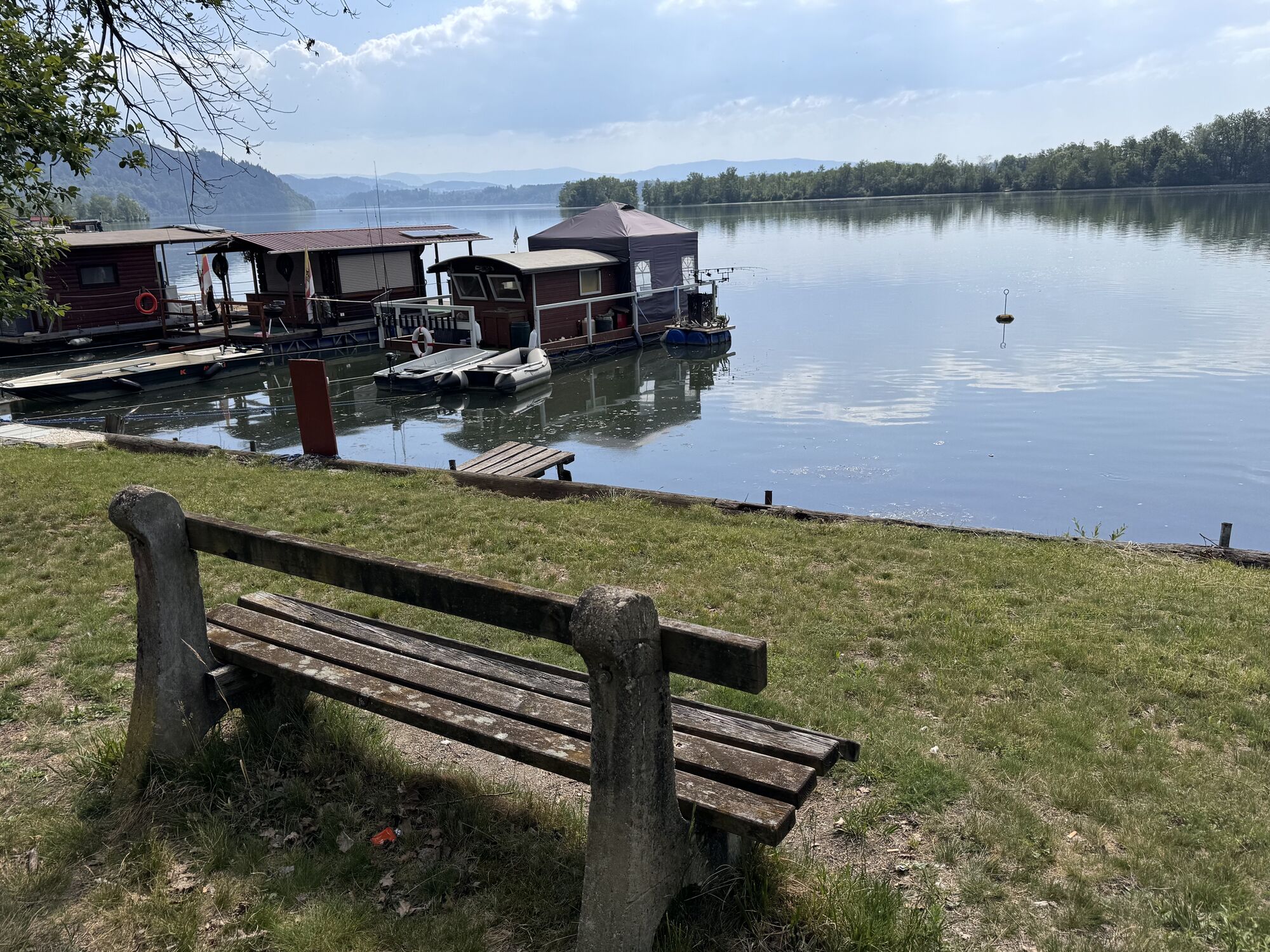
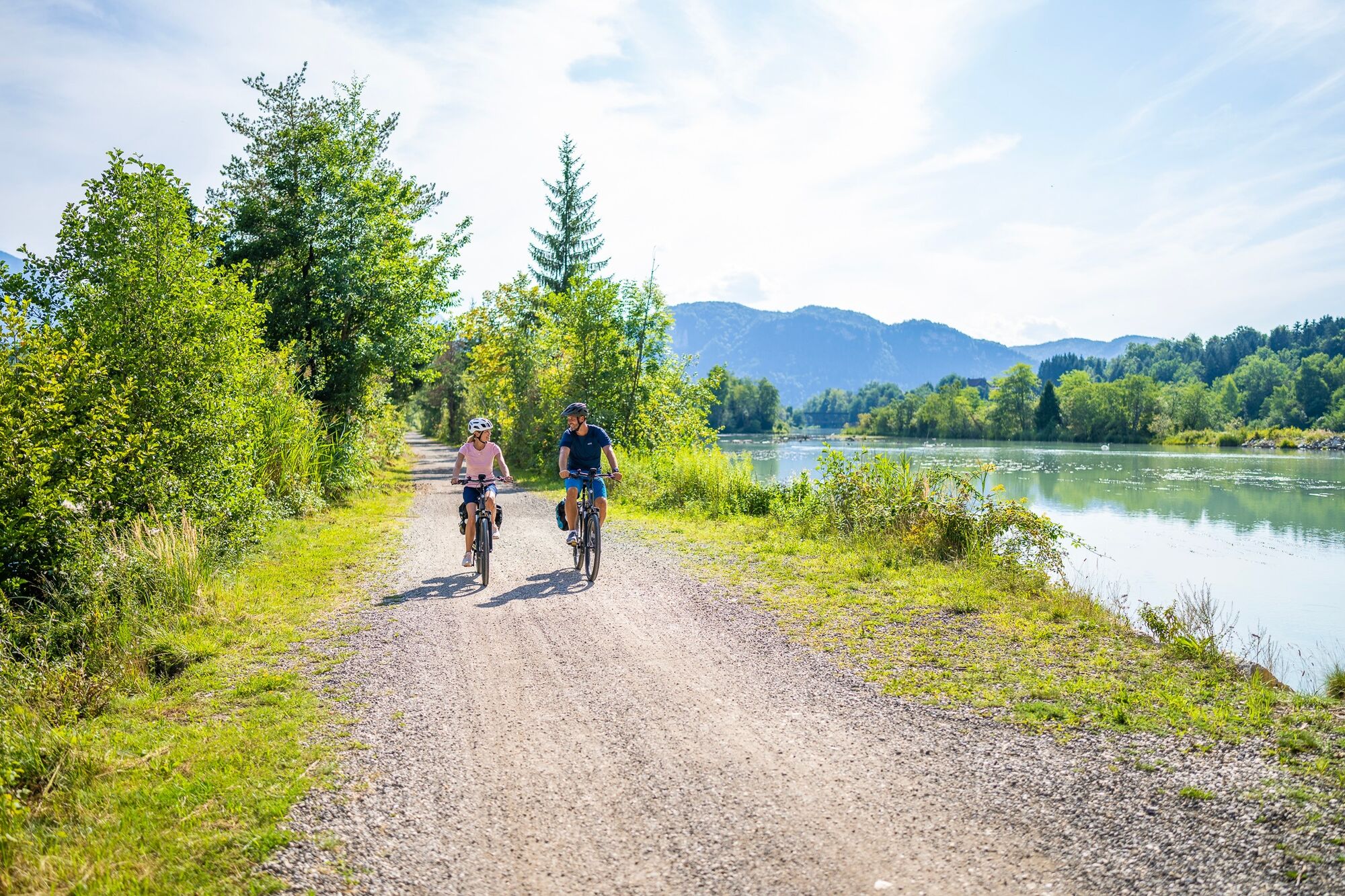
Day two of the Carinthia Lakes Loop starts easy – but collects the most elevation of the week throughout the day. First, you roll along the shore of the Millstätter See towards Seeboden, in Seeboden take R9 towards Gmünd. Follow R9 to Kalsdorf, there switch to R9A towards Lendorf. From Lendorf take R1 (Drava Cycle Path) to Pobersach (before Greifenburg). From Pobersach follow the old Kreuzberg road to Weissensee.
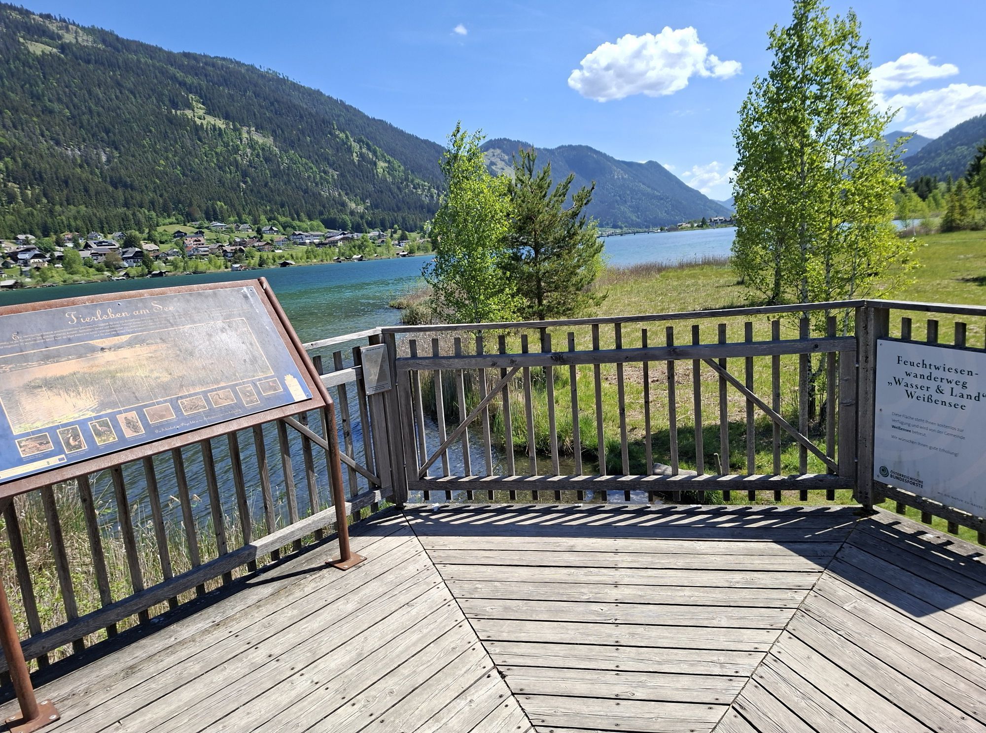
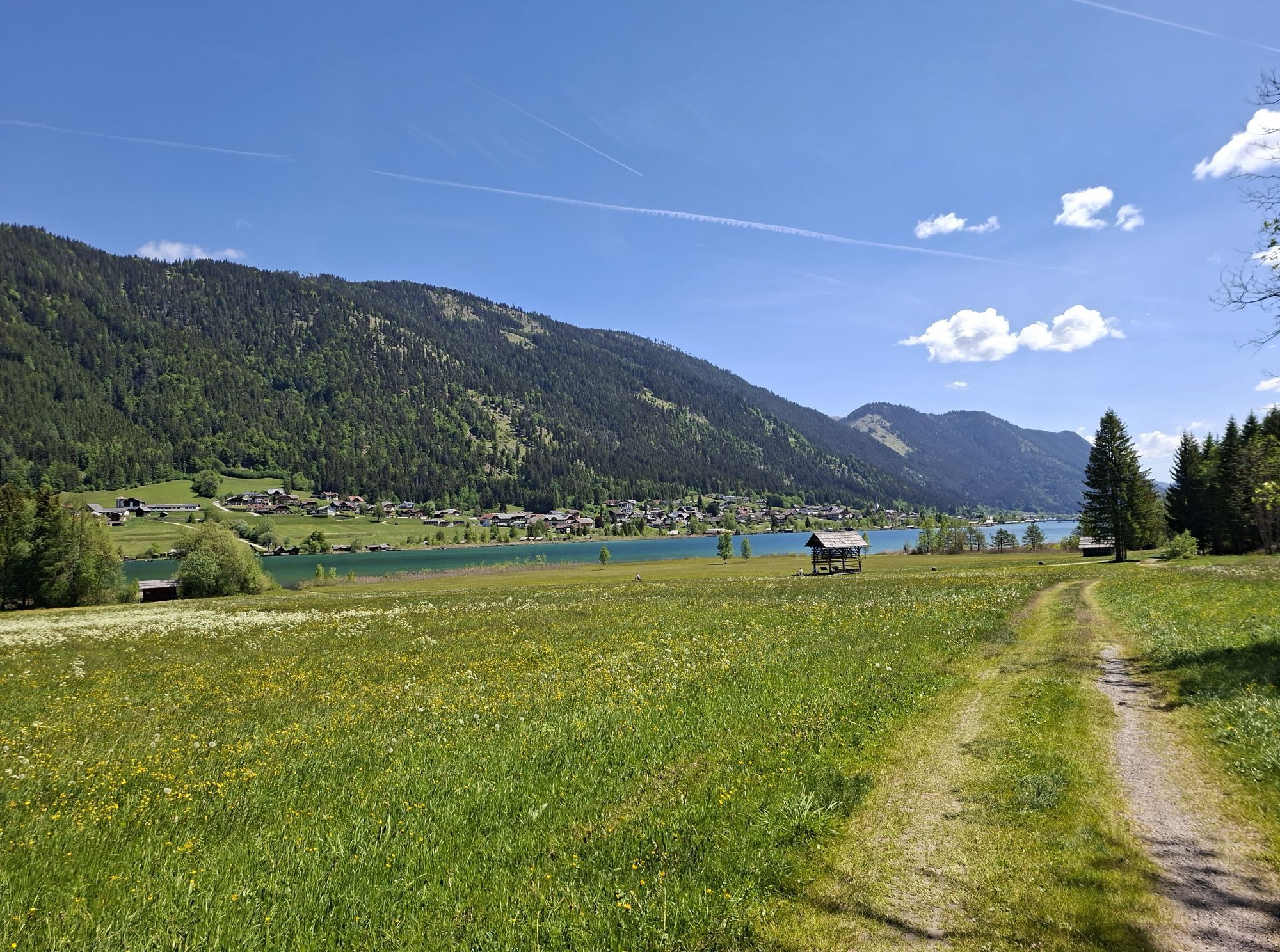
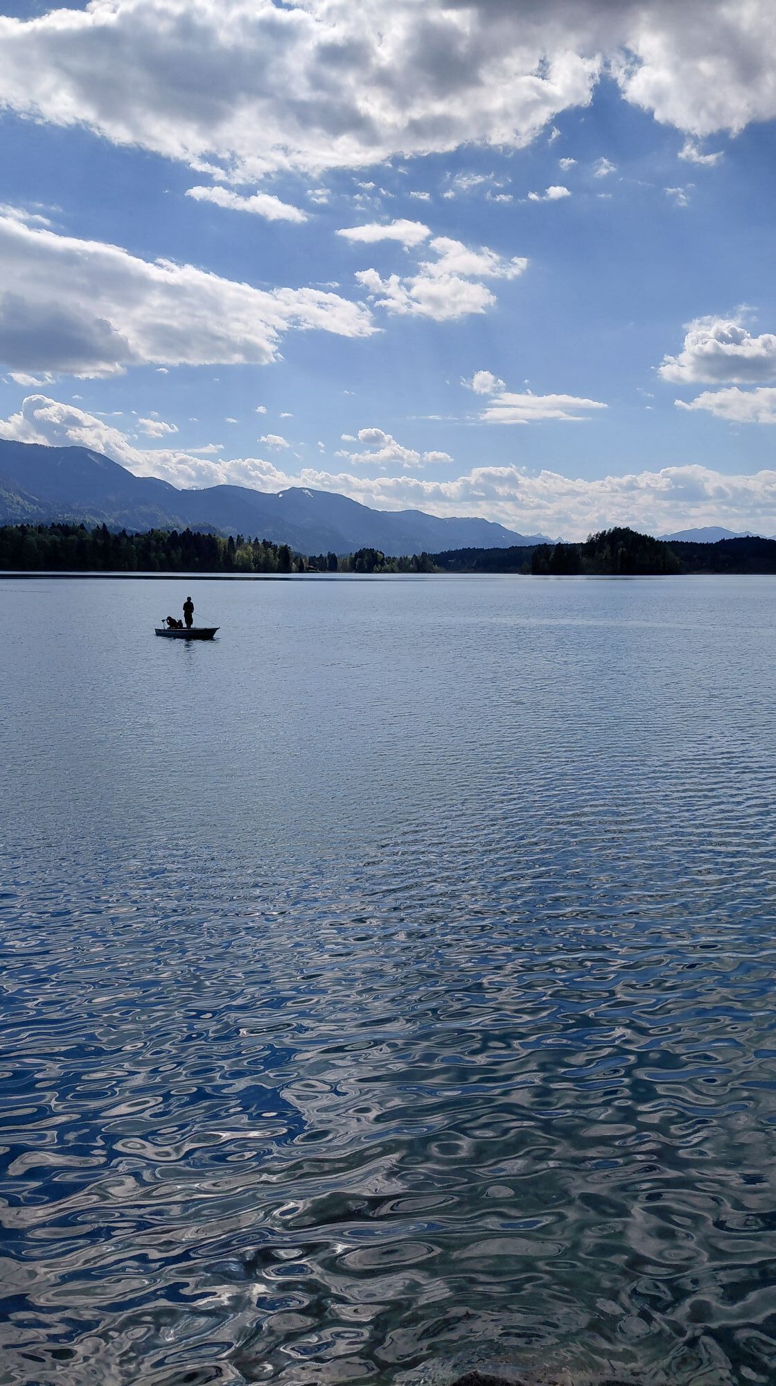
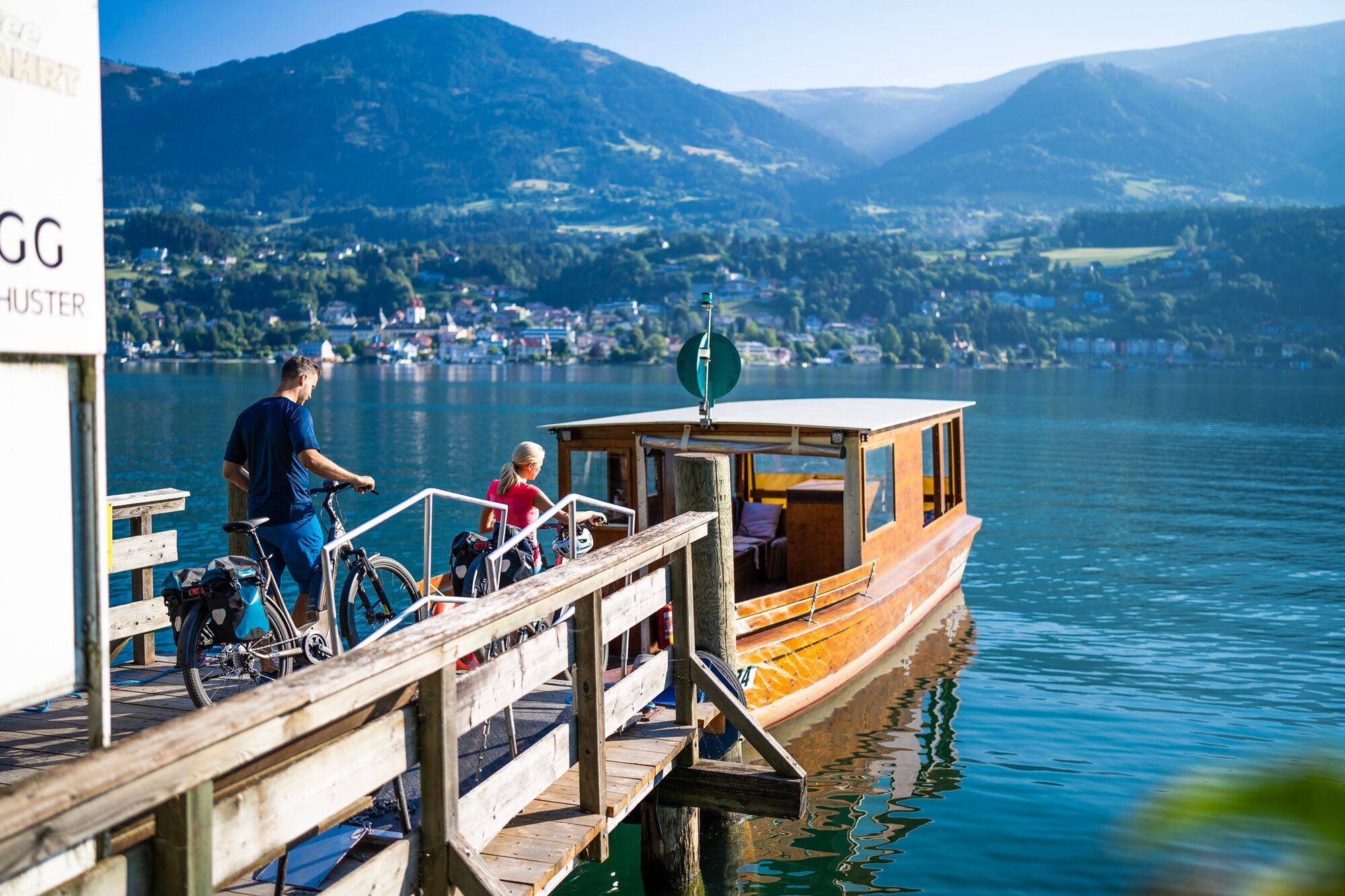
Alternative from Seeboden: Follow R2A to Seeboden, there through the Lisa Gorge to Spittal on R9. In Spittal the route joins the well-known Drava Cycle Path, which accompanies Carinthia’s largest river. At Neuolsach the route heads west and climbs steadily to Zlan and along the idyllic Weißenbach to Stockenboi. From there, it is just ten kilometers to the east shore of the picturesque Weissensee. Here the road ends – and you continue only by boat across the fjord-like lake between mountains. After a 30-minute boat trip to the Ronacherfels landing, five wonderful cycling kilometers along the lake shore lead to Techendorf.
Places of interest nearby:
Ride with the summer mountain railway to Goldeck
Mountain bike trails in the Weissensee Nature Park for beginners and advanced
Magical moment – breakfast raft on the Weissensee
Boat trip on the Weissensee
Stage 3: Techendorf - Pressegger See
30 kilometers, 246 meters of elevation
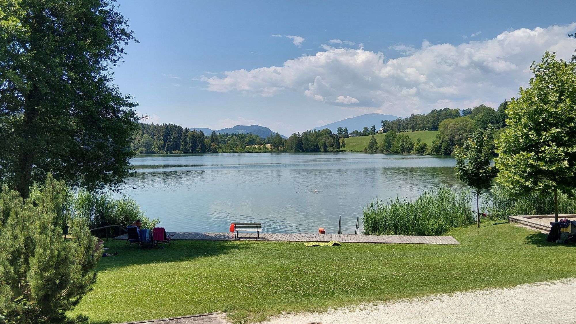
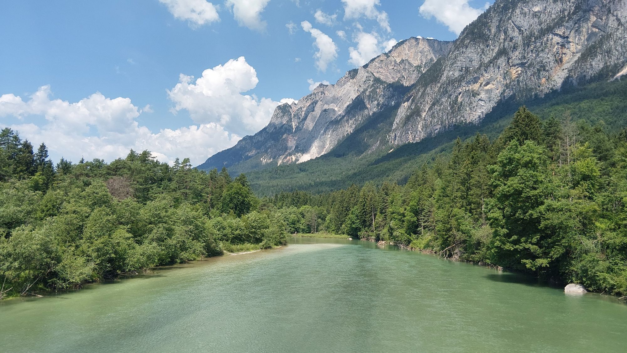
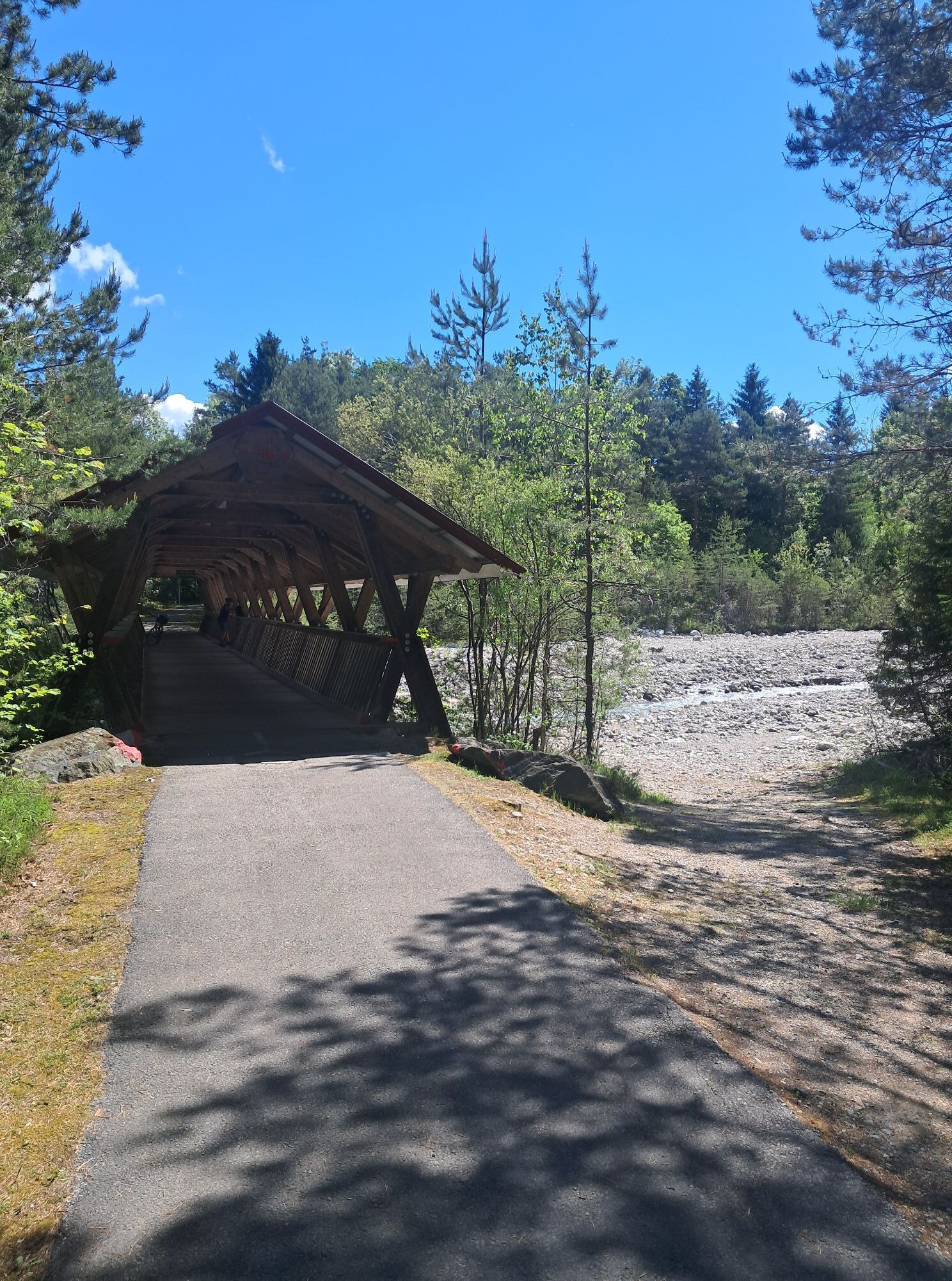
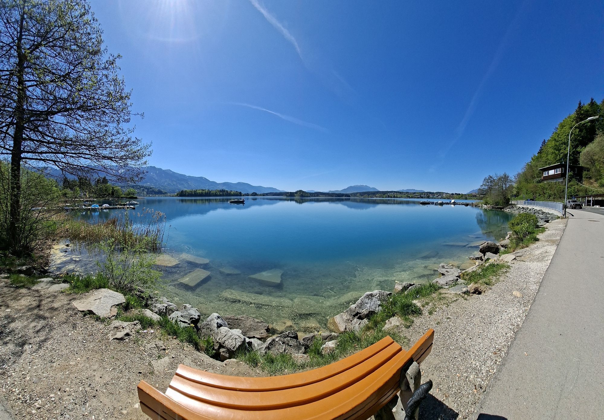
After two days with more than 1,400 meters of elevation altogether, the short third stage almost feels like a half rest day. If it weren’t for the 1,074-meter-high Kreuzbergsattel. As the Weissensee is already at 930 meters altitude, the difference is manageable. Then after the ascent a nice long descent through the Gitschtal towards Hermagor awaits. From here the route follows flat along the Gail Valley Cycle Path to the Pressegger See. There should definitely be enough time for a dip in the warm bathing lake that day.
Route details: From Weissensee the country road towards Kreuzberg and Hermagor, from Weissbriach follow R3B to Hermagor, then take R3A to Presseggersee.
Places of interest nearby:
The regional cuisine and experience programs of the world’s first Slow Food Travel region, e.g. at Schloss Lerchenhof or at the Bärenwirt in Hermagor.
Action, fun, and relaxation directly by the lake: Carinthian Adventure park at Pressegger See
Stage 4: Pressegger See - Faaker See
49 kilometers, 295 meters of elevation
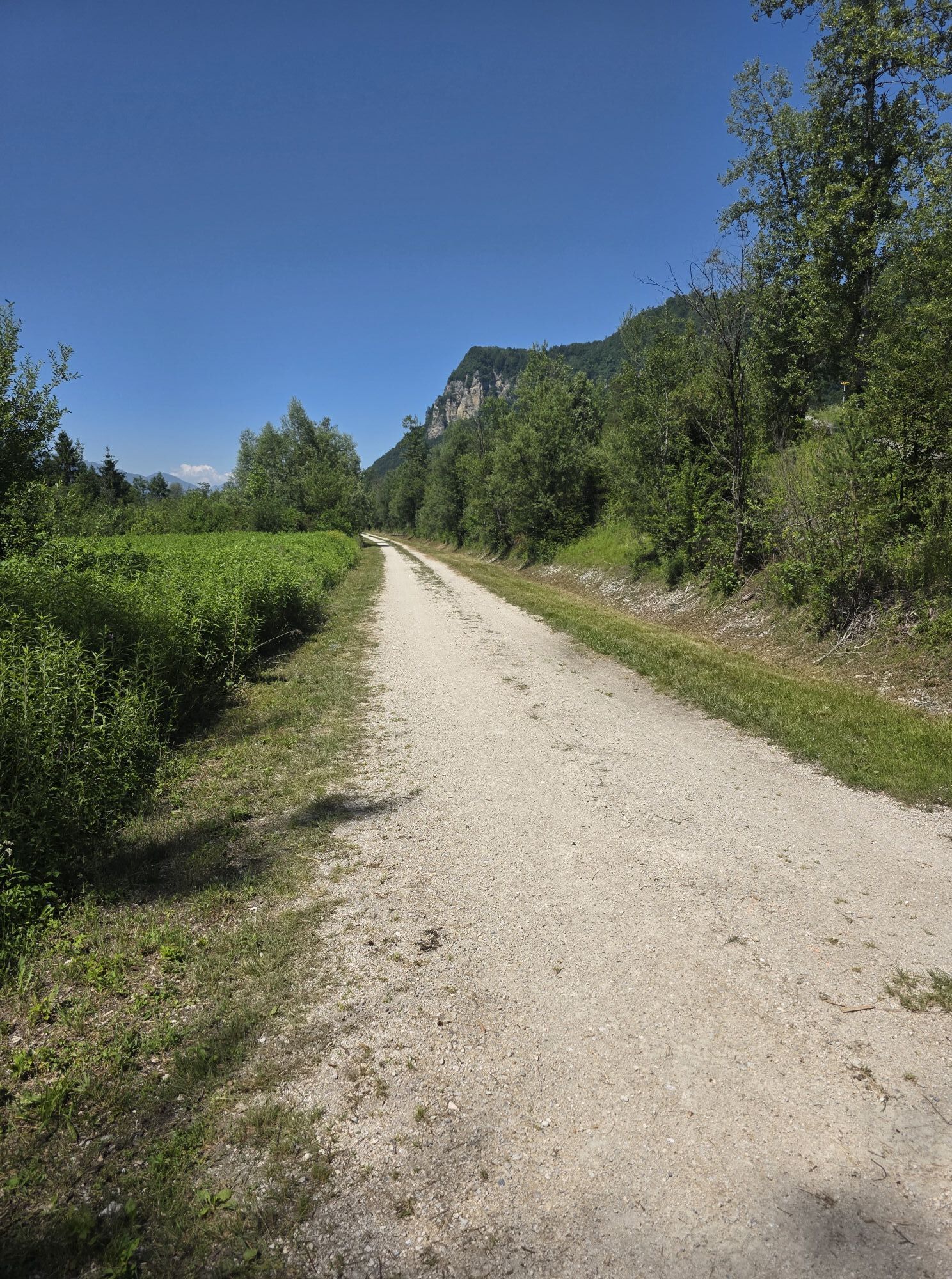
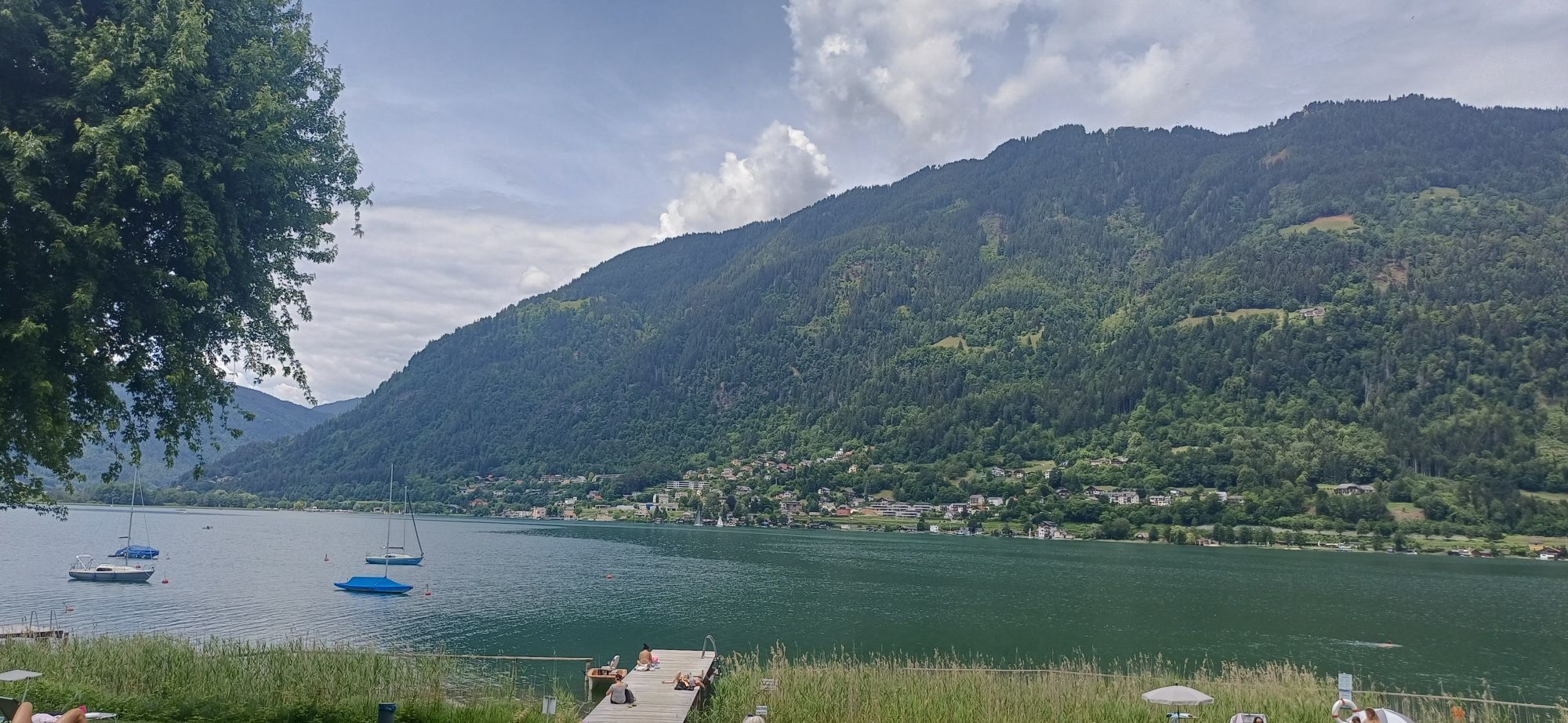
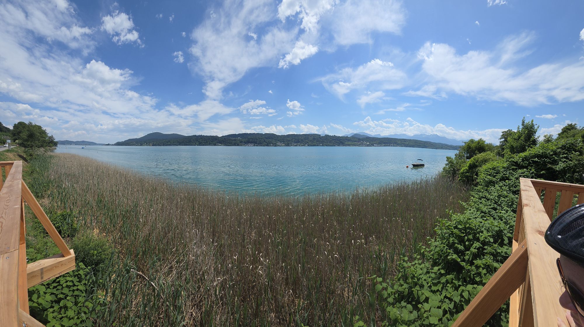
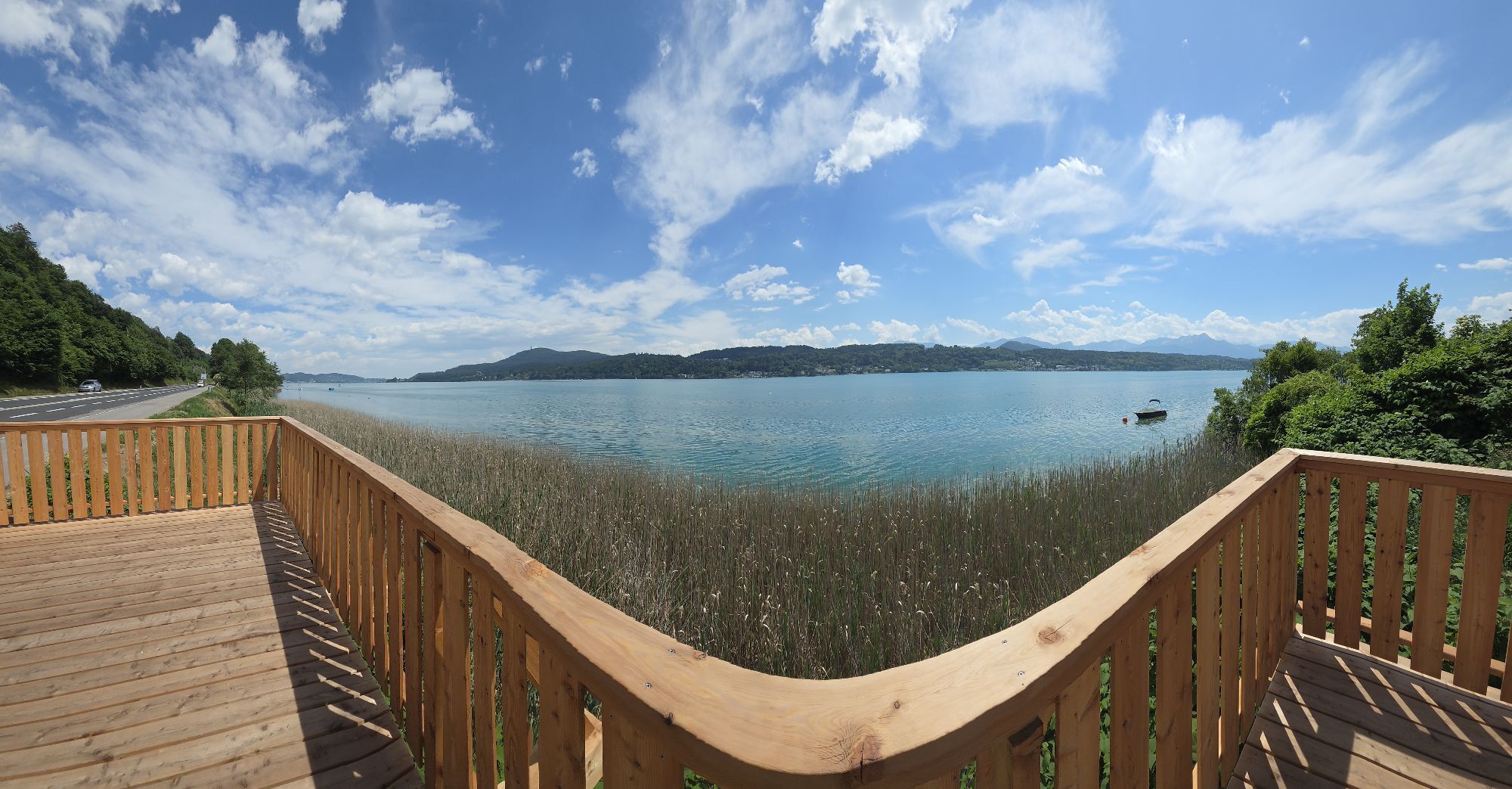
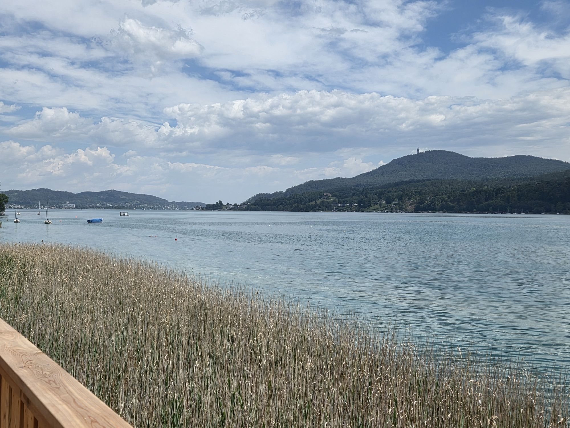
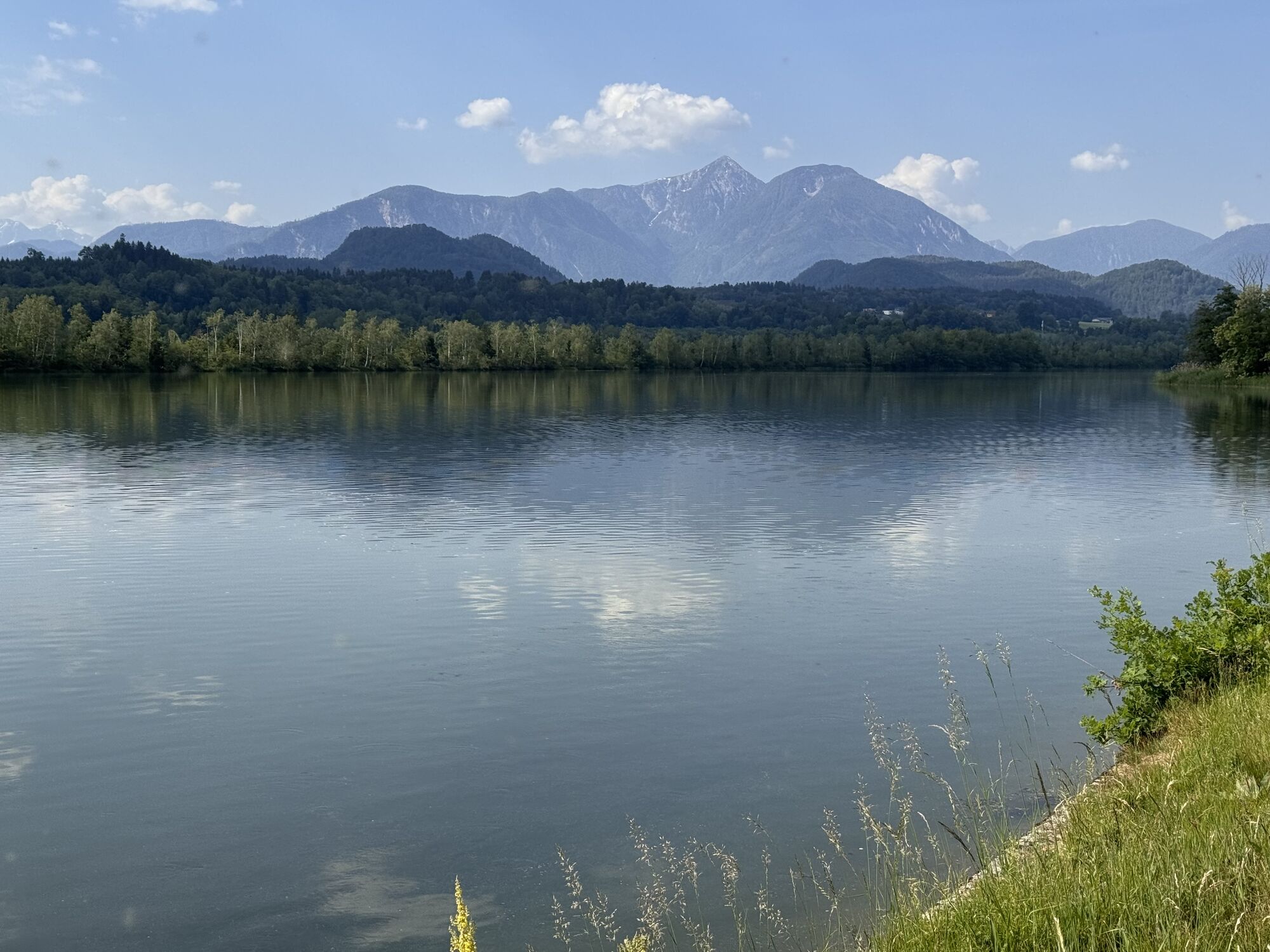
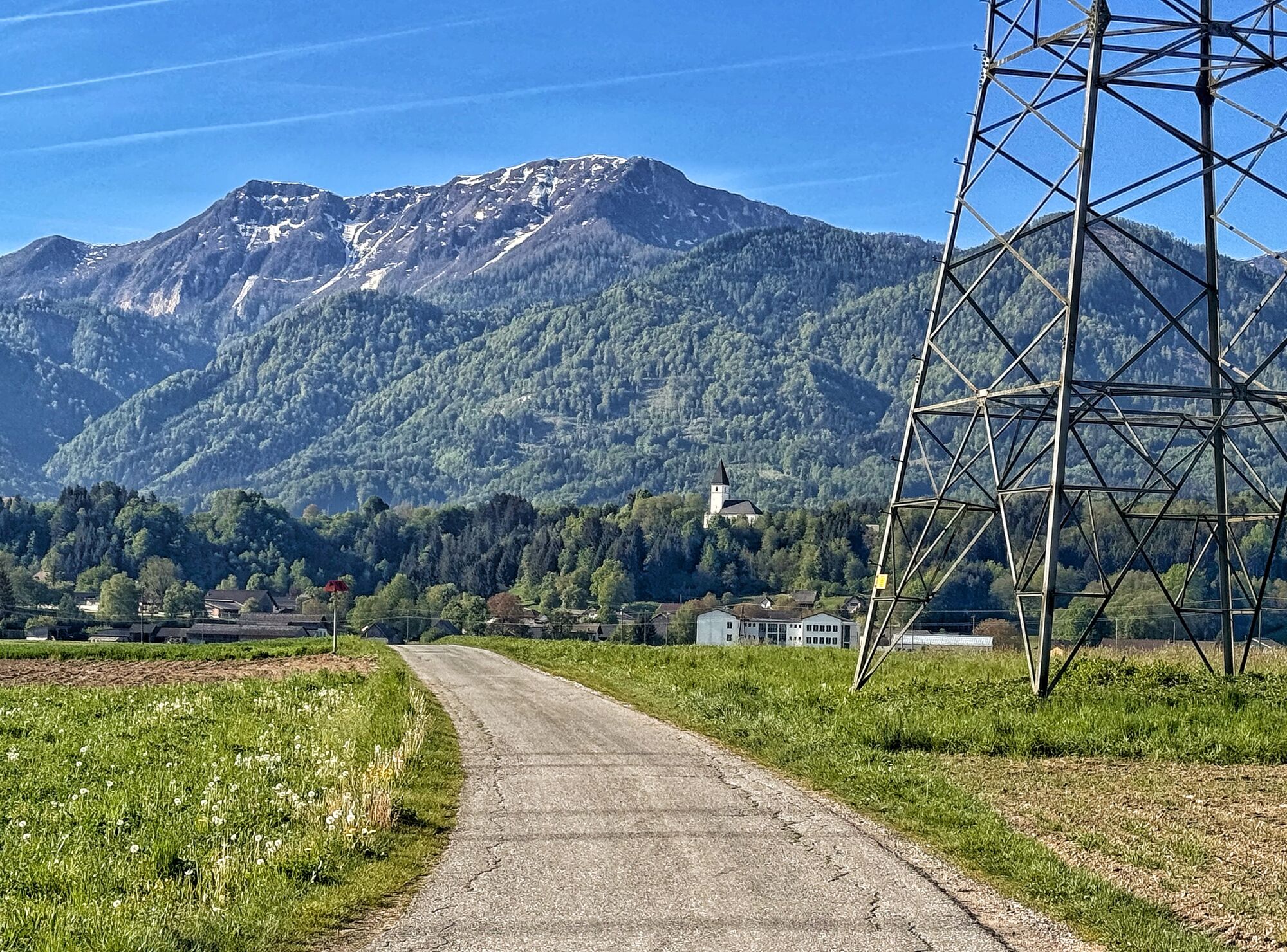
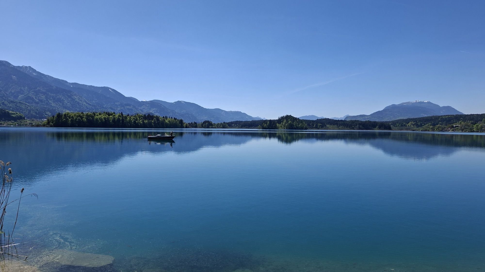
Most of the elevation of the Carinthia Lakes Loop is done. Today you go relaxed via the Gail Valley Cycle Path along the border to Italy and Slovenia back towards the east. The crystal-clear water of the Gail gently ripples beside the cycle path, and the view of the distinctive Dobratsch mountain range with its antenna tower at the summit is breathtaking. The stage goal is the turquoise shimmering Faaker See. The route first goes to the southern end with a view of the island and its nostalgic hotel. Then it leads along the eastern shore to Egg at Faaker See.
Route details: R3A to Görtschach, there take R3 to Müllnern, in Müllnern cross the Gail southwards and switch to R1C, follow it to Faak am See.
Places of interest nearby:
The Citrus Garden with around 280 different citrus plants in Faak am See (combination of botanical garden and organic farm)
Canoe tour Indian Spirit through the reed belt at Faaker See
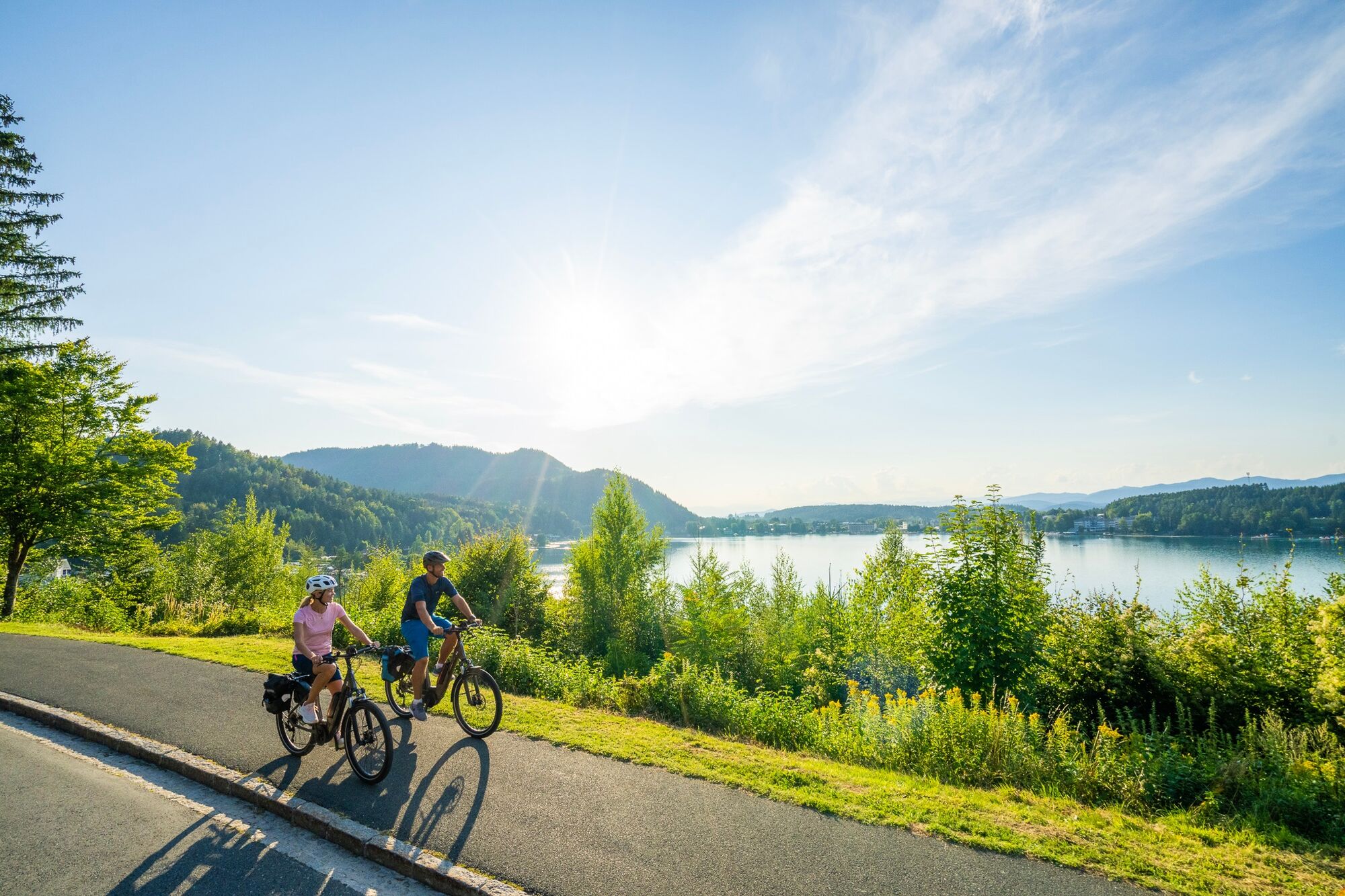
Stage 5: Faaker See - Klopeiner See
71 kilometers, 369 meters of elevation
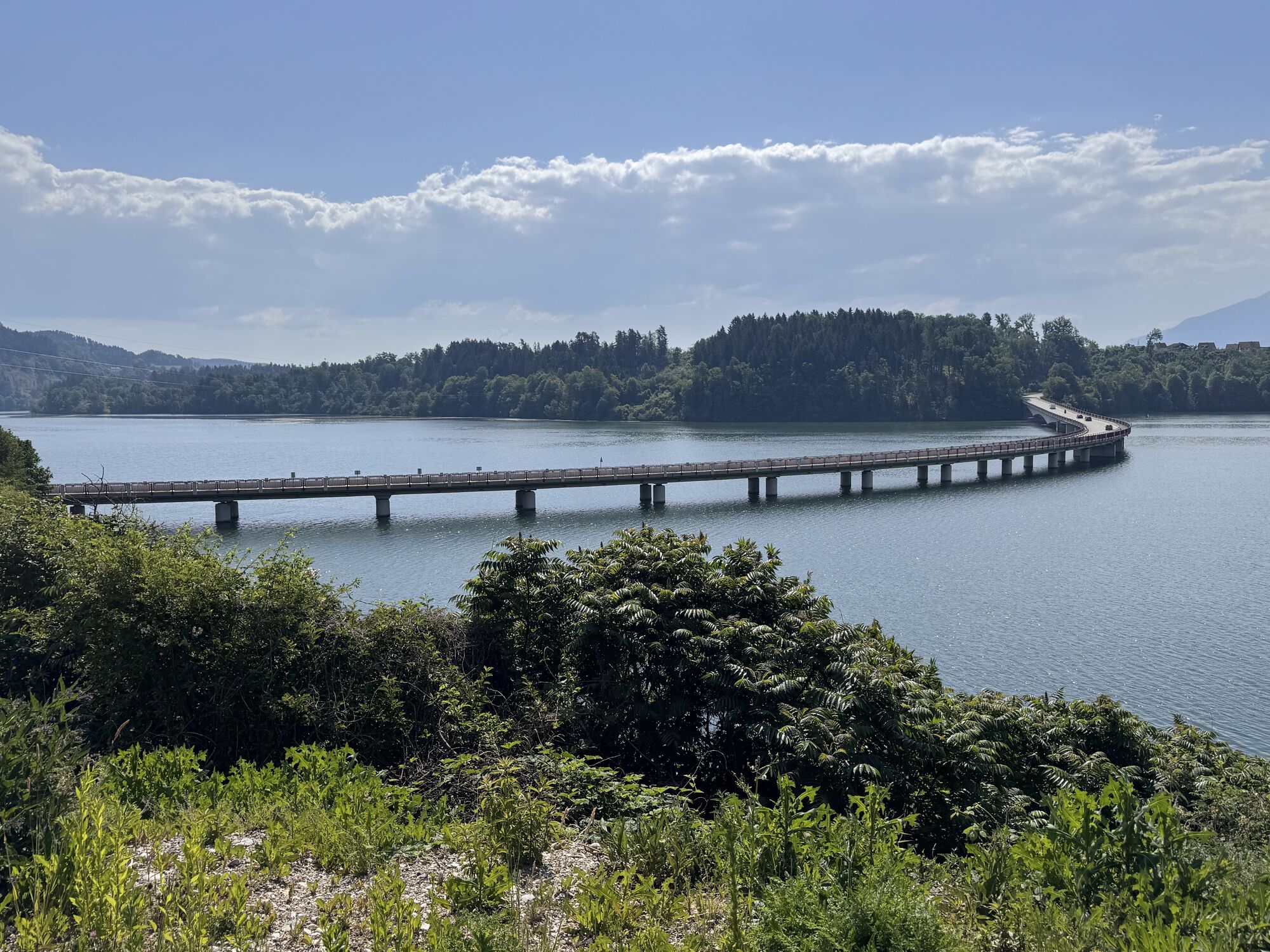
From the north side of Faaker See it goes steeply downhill the first kilometer in Egg am Faakersee. At St. Niklas cross the main road and then over the Drava Bridge directly to the Drava Cycle Path, which you reach immediately after the bridge’s end. Then follow the Drava Cycle Path through the beautiful Rosental and Jauntal to Stein im Jauntal (or Dullach). The best traffic connection to Klopeiner See is via Stein im Jauntal, where a short climb must be overcome. From Stein im Jauntal it is just 2 km to Klopeiner See. On the way to Klopeiner See an excursion to the gunsmith town of Ferlach is definitely recommended.
Places of interest nearby:
Excursion destinations in the Carnica-Rosental region
Tscheppaschlucht near Ferlach – a special natural jewel
EXPI–Science Center full of (physical) experiments in Gotschuchen/St. Margarethen in Rosental
Info: www.suedkaernten.at
Route details: R1C, R1B to Egg am Faakersee, follow the steep descent of the country road, after about 350 m turn right into Deutschbauerweg. At St. Niklas cross the federal road straight ahead and over the Drava Bridge, immediately after the bridge onto R1 (Drava Cycle Path), follow this to Stein im Jauntal. From Stein im Jauntal via Littermoos to Klopeiner See.
Alternative route via Wörthersee:
From the north end of Faaker See with its spectacular view of the Karawanks and the pyramid-shaped Mittagskogel rock peak, it goes back into the Drava valley and onwards to Velden at the Wörthersee. On the cycle path along the northern shore of Carinthia’s largest and most famous lake, you pass the bathing resort of Pörtschach with its pretty villas, castles, and stylish lakeside houses. From the lake promenade in Klagenfurt, you cross the state capital with its impressive old town. In the afternoon you reach the lively town of Sankt Kanzian at the Klopeiner See, known as the warmest bathing lake in Europe.
Route details: R1C, R1B to Egg am Faakersee, follow the steep descent of the country road to St. Niklas. At the roundabout in St. Niklas turn right towards Rosegg for about 500 m, then left towards Föderlach across the Drava Bridge, immediately after the bridge onto R1 (Drava Cycle Path), follow this to Stein im Jauntal. From Stein im Jauntal via Littermoos to Klopeiner See.
Places of interest nearby:
Drink with lake view in one of the cafés along the Velden promenade
Culinary trip to the Benediktinermarkt in Klagenfurt
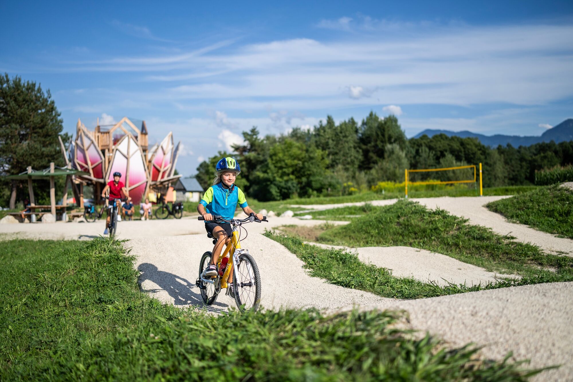
Forest adventure world Klopeiner See in St. Kanzian with 75 attractions and high ropes park
Free lake access for a refreshing jump
Carinthian bathhouse at Klopeiner See: Carinthian Bathhouse Klopeinersee
Forest adventure world with indoor playhouse at Klopeinersee
Geo-Dom, the new visitor center of the Karawanks UNESCO Global Geopark: Geo-Dom
Upper dripstone cave
Viewing platform slow trail Kitzelberg
Special excursion destinations in southern Carinthia:
Excursion destinations for families
Stage 6: Klopeiner See - St. Veit an der Glan
Route via Grafenstein and Klagenfurt
64 kilometers, 411 meters of elevation
From Klopeiner See drive towards Wasserhofen, via Peratschitzen and St. Lorenzen to the reservoir, follow the north shore to Dullach, over Althofen and Grafenstein and the railway-adjacent path to Klagenfurt. A stay in Klagenfurt and its city center is definitely worthwhile; the state capital has much to offer guests.
From the center of Klagenfurt follow R7 (perfectly signed!) to St. Veit an der Glan in the region of Central Carinthia. The R7 cycle path runs practically parallel to the Glan River, which connects St. Veit and Klagenfurt.
Route details: From Klopeiner See, cycle on paved side roads past Wasserhofen, via Peratschitzen and St. Lorenzen to the Drava shore. Here take the unpaved cycle path to the big bridge - on the street-adjacent cycle path - over the reservoir. On the opposite shore turn left and follow the shore for just under 8 km to the next bridge, where you turn right at Dullach, follow the main road for about 300 m and then turn left again and follow L115 to Althofen. There, after the railway underpass, turn right onto the railway-adjacent path and follow it to Grafenstein. Follow the railway-adjacent path from Grafenstein to Klagenfurt (R6). Follow cycle path R6 to the center of Klagenfurt, there at Neuer Platz switch to the R7 cycle path, which connects Klagenfurt and St. Veit an der Glan. Always follow the signs "R7".
Places of interest nearby:
Region Central Carinthia: https://www.mittelkaernten.at/
State capital Klagenfurt: https://www.visitklagenfurt.at/de/
Alternative route from Klopeinersee via Drava Cycle Path and Rosental back to Faakersee
69 kilometers, 493 meters of elevation
After a nice round around Klopeiner See, today’s stage is all about the Drava River. The route mostly runs on the well-known Drava Cycle Path, which since 2016 has been rated by the ADFC as one of four 5-star quality cycle routes. Here you enjoy the relaxed ride by the water – past rocks, castles, and reservoirs. In the hiking region Rosental you pass the gunsmith town of Ferlach. In one of the many Drava loops lies the elegant Schloss Rosegg with its large garden, labyrinth, and animal park. From here it is just a few kilometers to stylish Velden at the Wörthersee.
Places of interest nearby:
Tscheppaschlucht near Ferlach – a natural jewel of a special kind
EXPI–Science Center full of (physical) experiments in Gotschuchen/St. Margarethen in Rosental
Ride with the Wörthersee shipping and/or excursion to the Pyramidenkogel
Stage 7: St. Veit an der Glan - Wörthersee
50km, 350m of elevation
The Central Carinthia region is known for its large number of castles. One of Austria’s most famous castles is Hochosterwitz Castle, which you pass by if you take the attractive route around Lake Längsee. Past St. Veit, the route continues towards Hörtzendorf and Maltschach lakes. In this area the route is hillier but no less attractive. From Maltschach it gently slopes down towards Moosburg and Wörthersee.
Route details: On this route it is best to use a GPS device for navigation, as the route mainly goes along little-trafficked side roads.
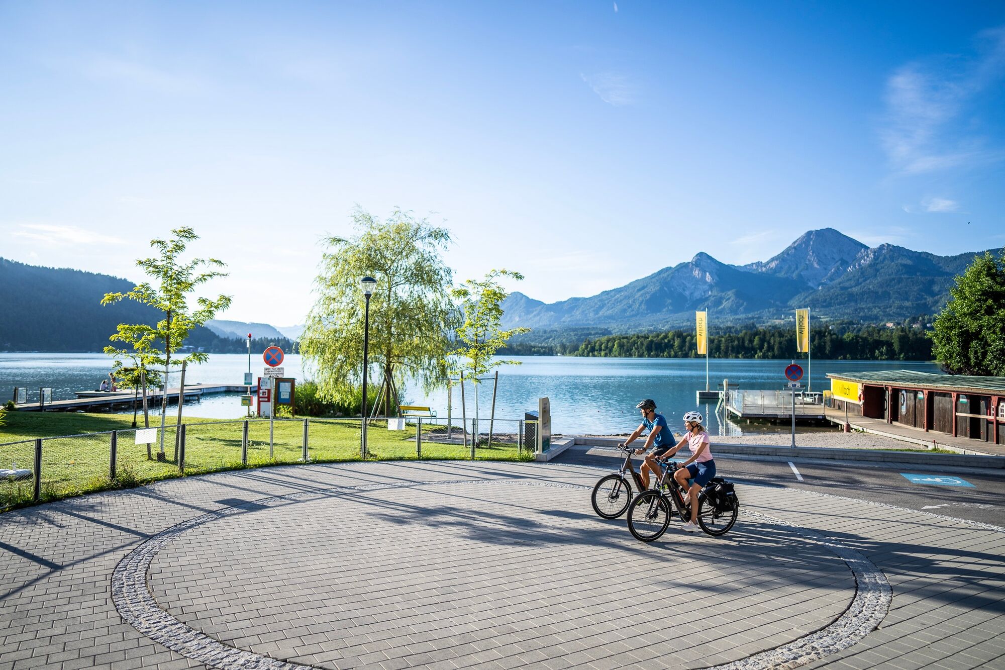
Stage 8: Wörthersee - Villach
20-25km, flat
From Wörthersee the last stage leads us back to Villach via cycle paths R4 and R1. The route is mostly flat (except for the exit in Velden). From Föderlach to Villach the last kilometers follow the 5-star Drava Cycle Path.
More tips: https://radland.kaernten.at/de/
Tours in Carinthia
Áno
The ideal bike is the e-bike. However, the route can also be completed with a conventional bike (trekking bike).
Surface: mostly asphalt, sometimes gravel
Mostly, the Carinthia Lakes Loop runs on independent cycle paths or little-trafficked local roads.
However, some sections must be covered on federal roads due to missing cycle paths!! Attention on these sections (e.g. Treffen-Afritz)
Car
from the north (Salzburg) via A10 and A2
from the east (Vienna): via A2
from the south (Ljubljana): via A11 and Karawanks Tunnel
from the south (Italy): via A2
Train: www.oebb.at
Station shuttle: https://www.bahnhofshuttle.at/de
Flight: http://klagenfurt-airport.at
Car:
from the north (Salzburg) via A10 and A2
from the east (Vienna): via A2
from the south (Ljubljana): via A11 and Karawanks Tunnel
from the south (Italy): via A2
2
Pure cycling pleasure: Cycle with light luggage through Austria's sunny south – past blue and turquoise lakes embedded in the beautiful rolling and mountainous landscape on the border with Italy and Slovenia. Depending on time and condition, the 430-kilometer-long varied route can be divided into as many stages as you like. Ideally, allow at least one week for the entire route. This allows enough time to enjoy the warm bathing lakes, nature, and special features along the way. Cyclists will find many accommodations along the route to suit all tastes and budgets. The route is also perfectly suited for e-bikes. Those without their own bike can rent a modern e-bike with accessories at one of around 50 rental stations in Carinthia and return it at another rental station if desired. Info: Carinthia rent e-bike
All relevant information about bike transport on trains: https://radland.kaernten.at/de/trekkingrad/bahn-rad/
All information about Carinthian cycle paths at www.touren.kaernten.at
Water fountains along the cycle paths: www.trinkbrunneninktn.at
Obľúbené výlety v okolí
-
4,7
4 Huts route
strednáTuristika 8,96 km -
4,6
Hoher Gallin route
strednáTuristika 7,09 km -
4,4
Finsterbach Waterfalls - Circular route
strednáTuristika 3,87 km -
4,5
Lake circular trail
svetloNordic Walking 9,85 km -
4,6
Rotschitza Klamm Klettersteig B/C
strednáVia ferrata 3,73 km -
4,1
Slow Trail Bleistätter Moor (Variant A)
svetloTuristika 7,22 km -
4,0
Schwarzsee circular hiking trail
strednáTuristika 7,79 km -
3,9
Lake Ossiacher See cycle path – R2 & R2A
strednáCyklistika 28,2 km -
3,8
Forstsee Route
svetloTuristika 4,26 km -
4,5
Wasserfälle
strednáTuristika 2,48 km
Turistika a stopovanie


Nenechajte si ujsť ponuky a inšpiráciu na ďalšiu dovolenku
Vaša e-mailová adresa bol pridaný do poštového zoznamu.