







Faaker See- Finkenstein- Kopein - T23
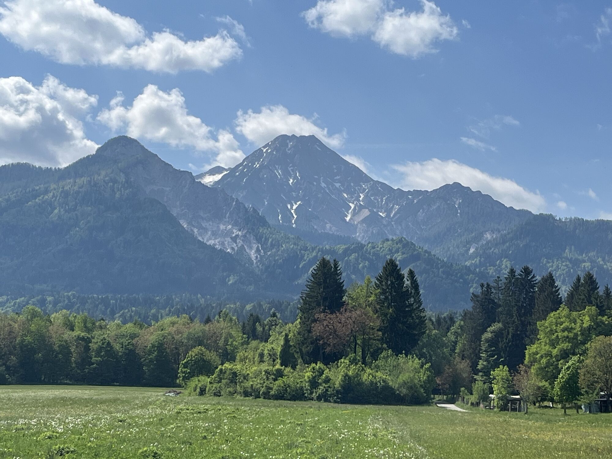
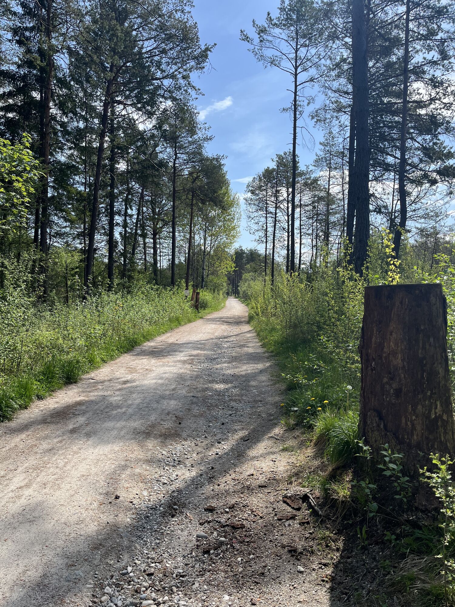
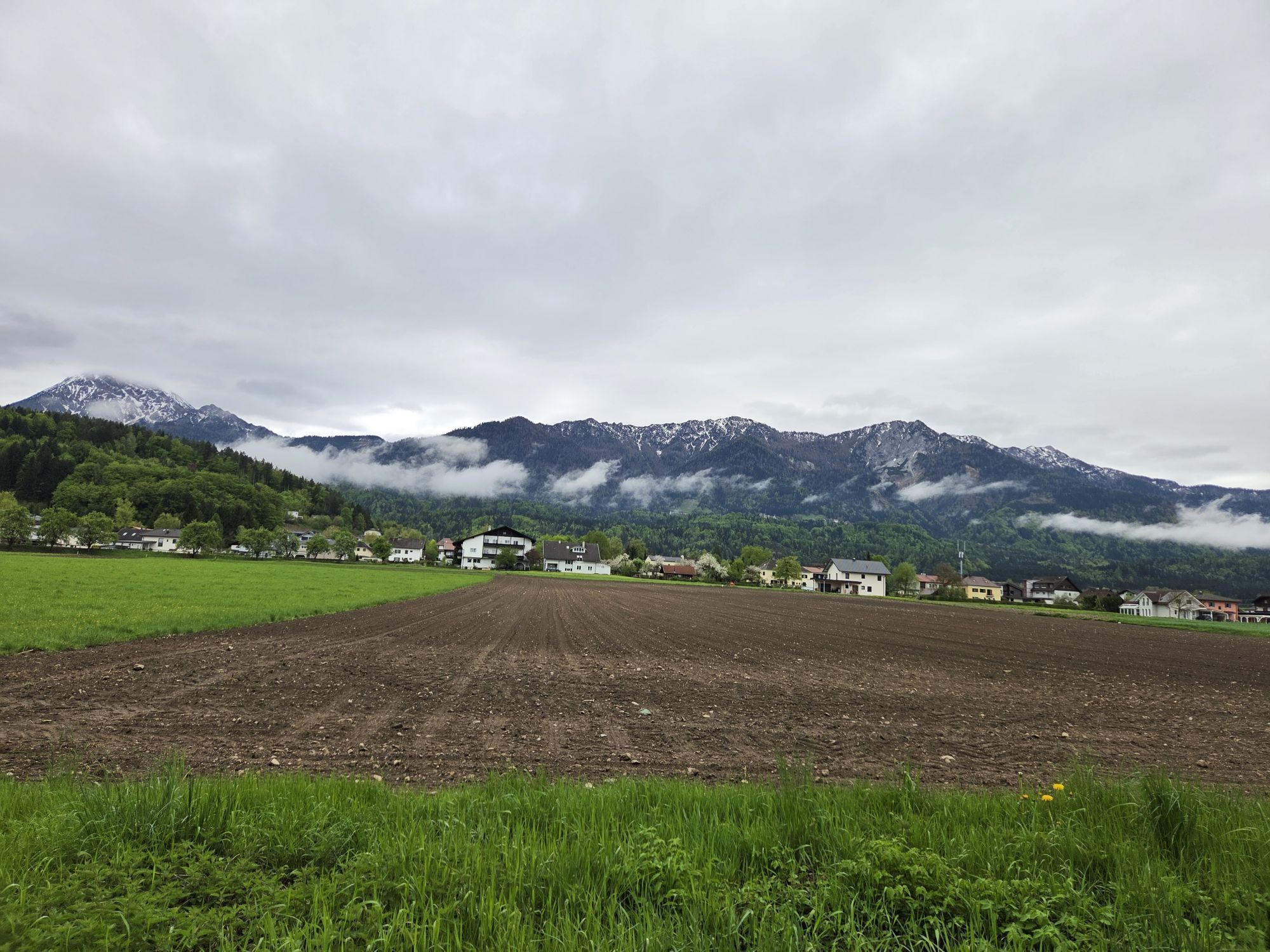
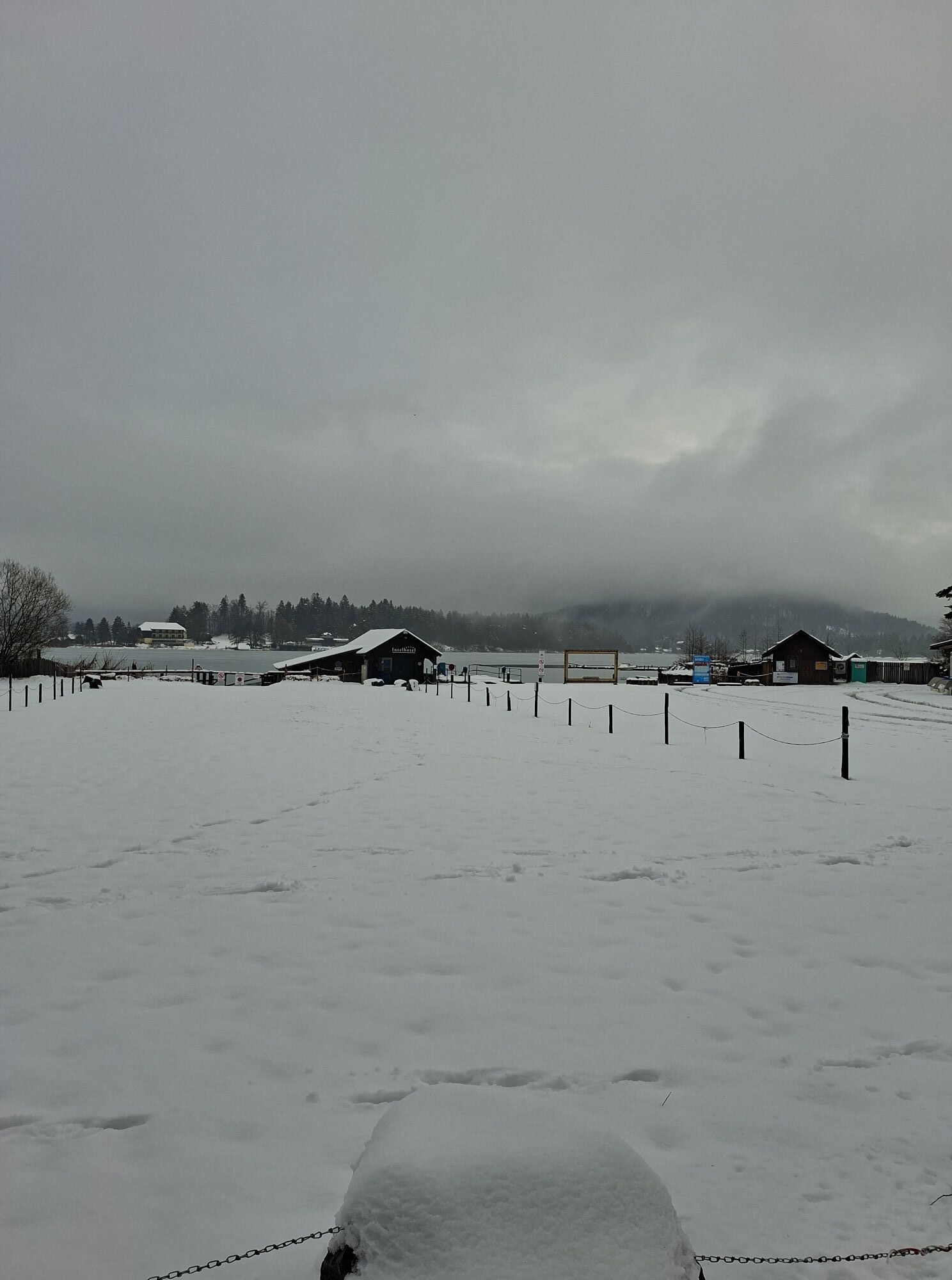
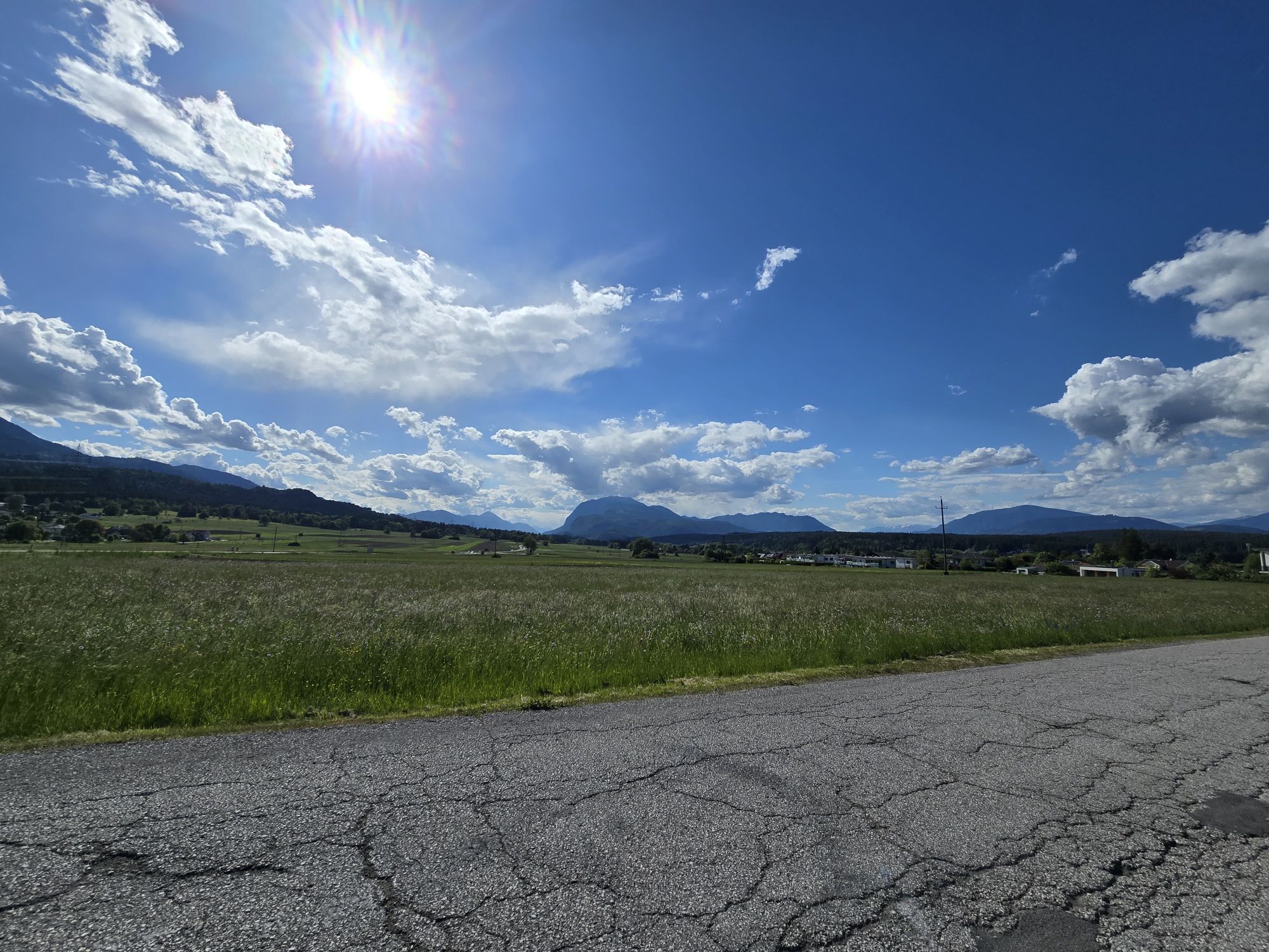
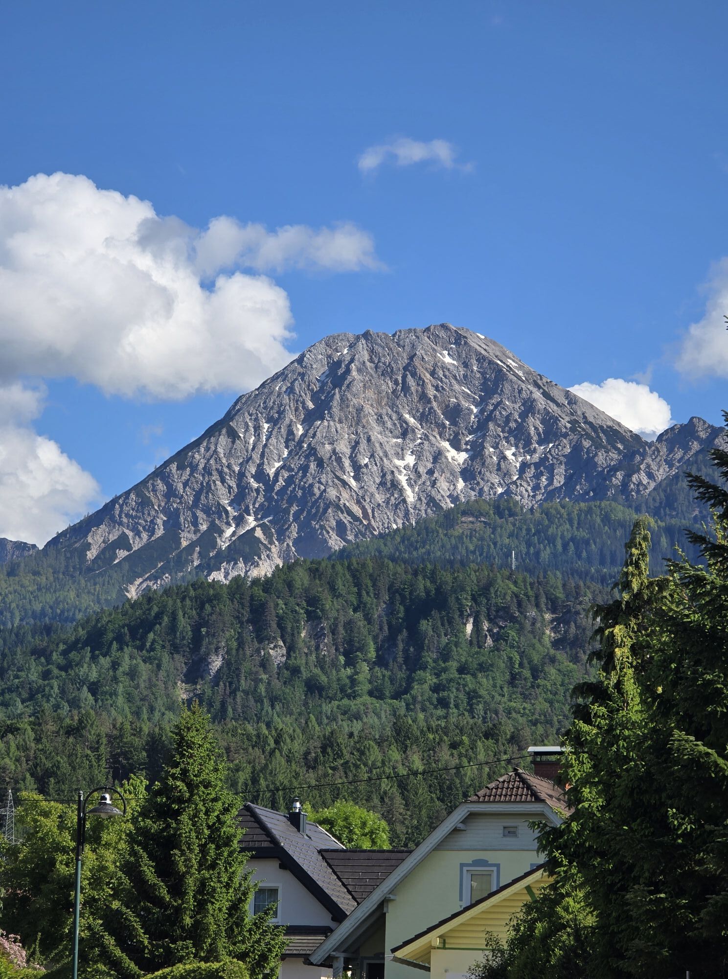
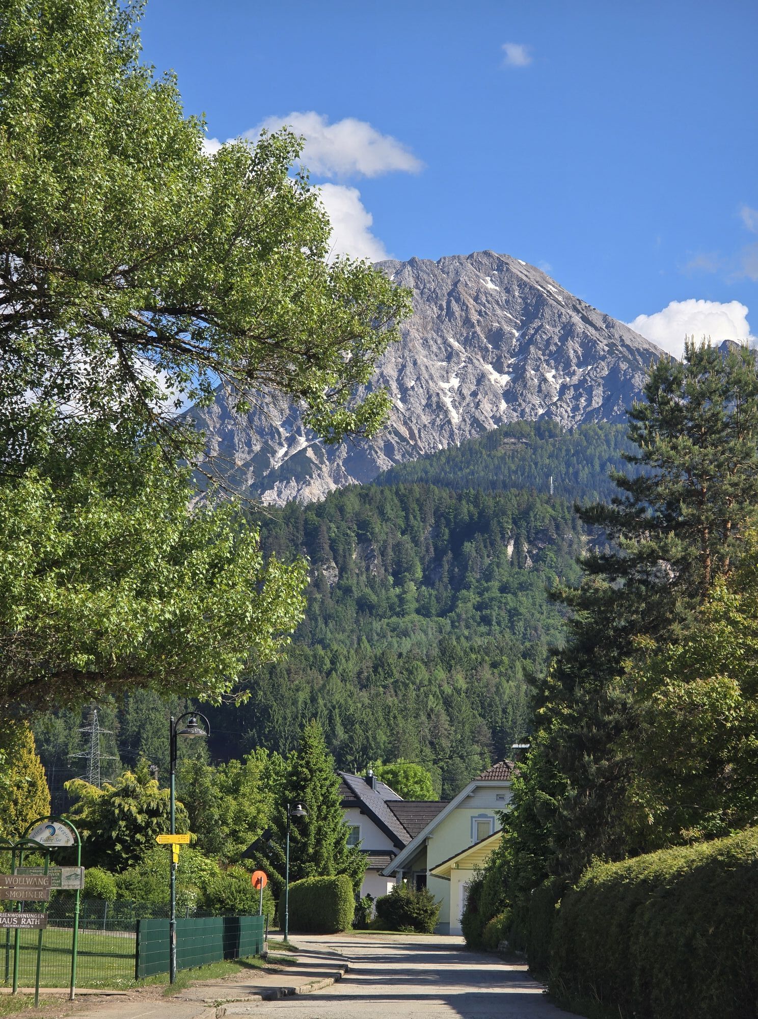
Riding on narrow streets and forest paths, this ride takes you to some of the most remote and magnificent areas in the "Faaker See" area.
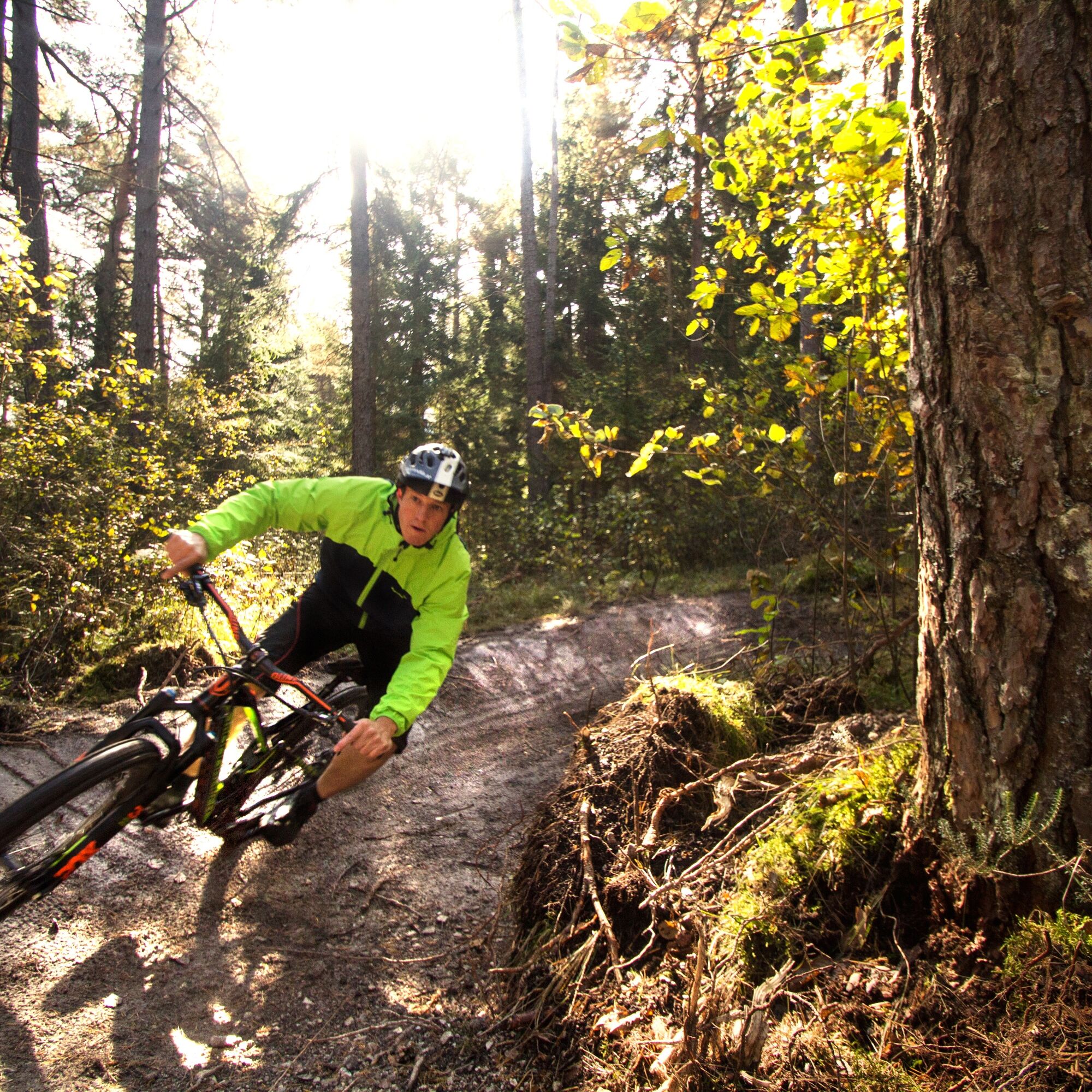
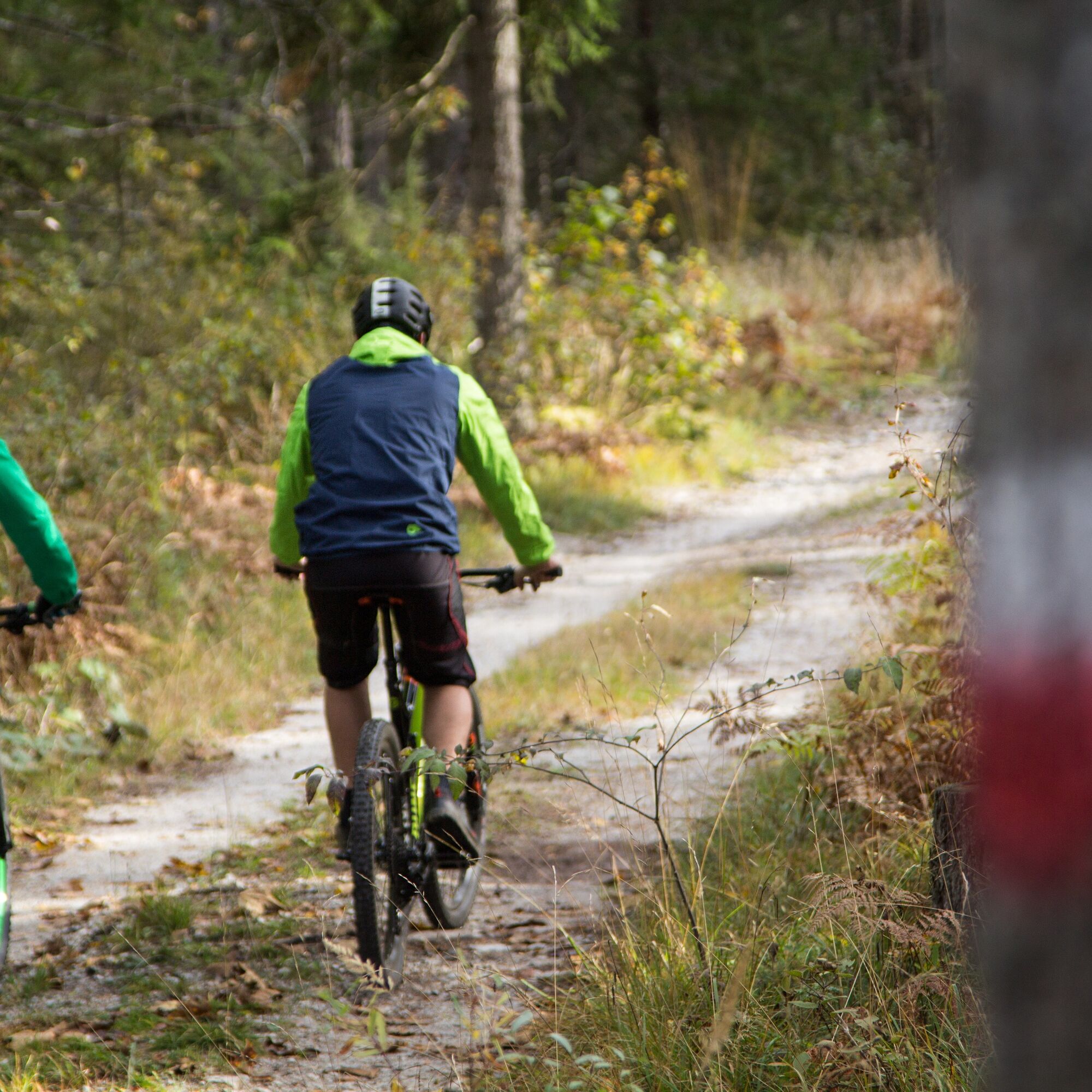
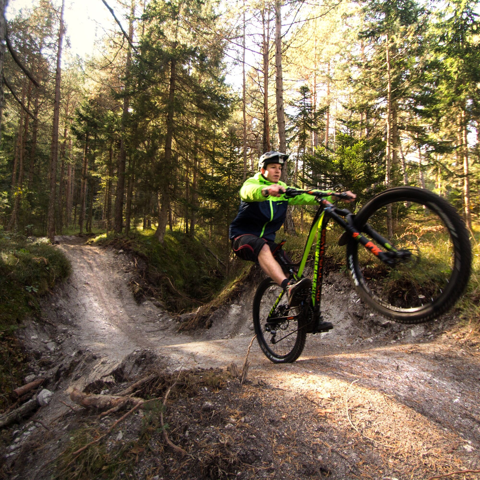
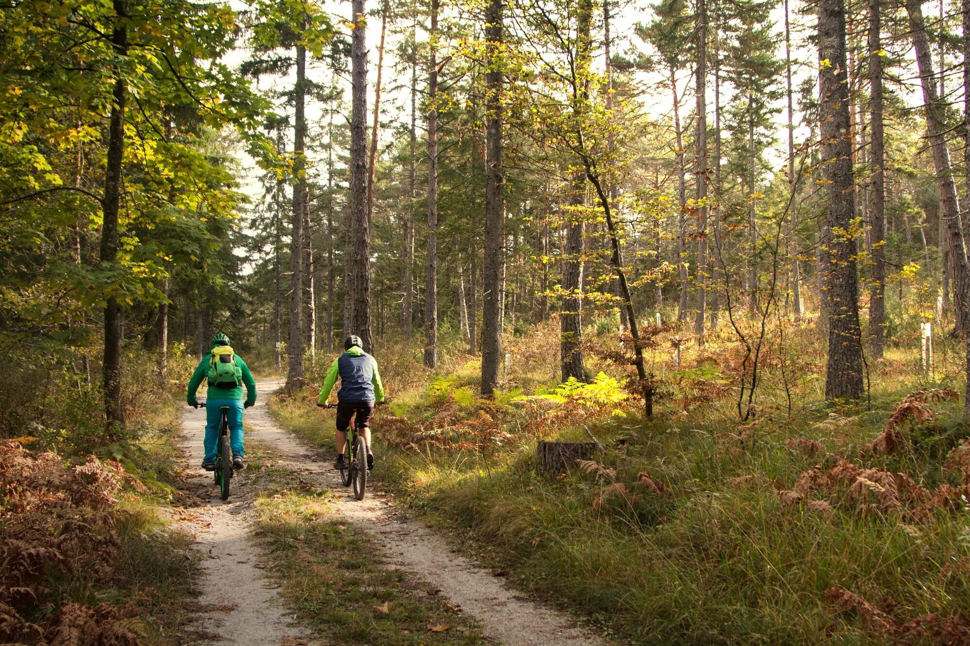
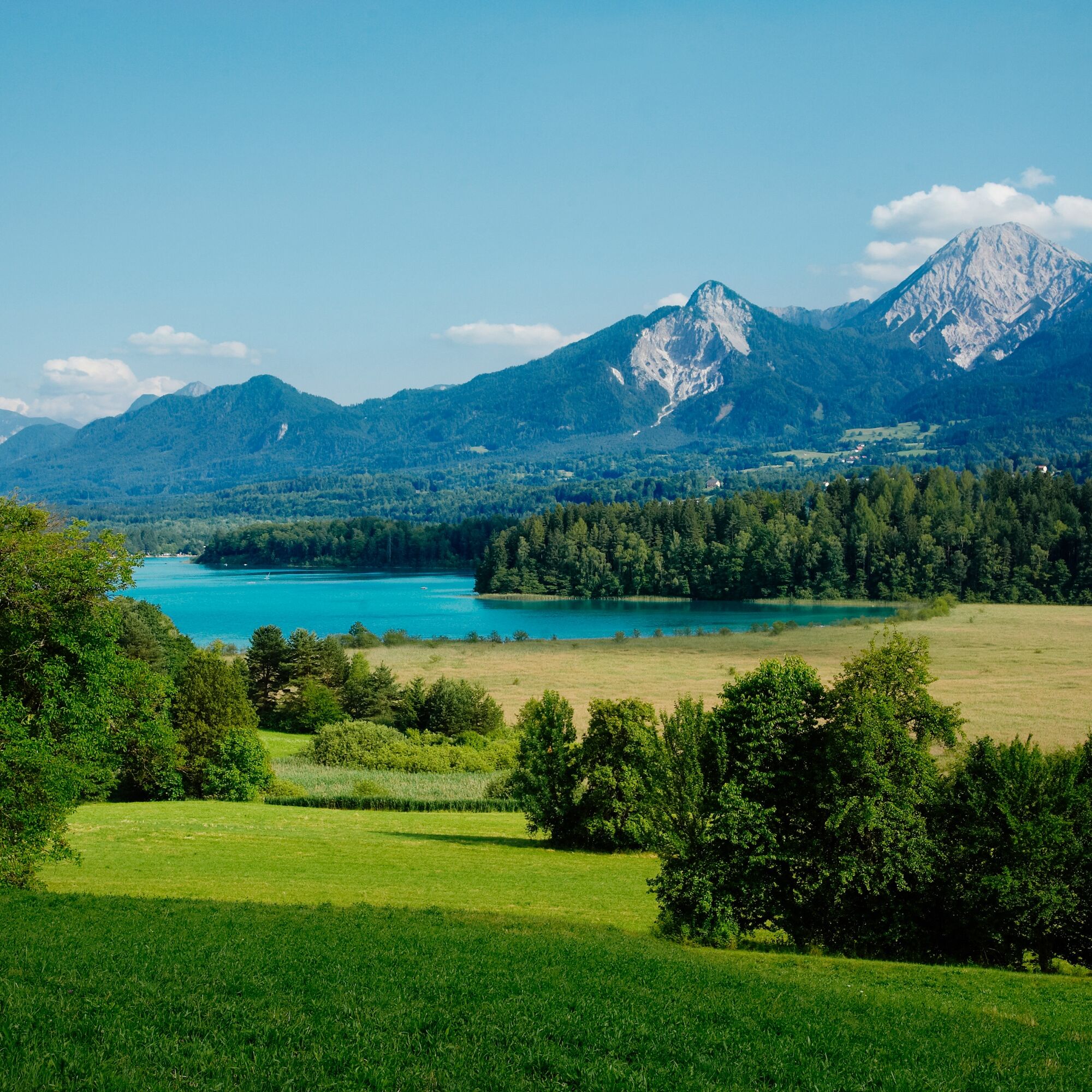
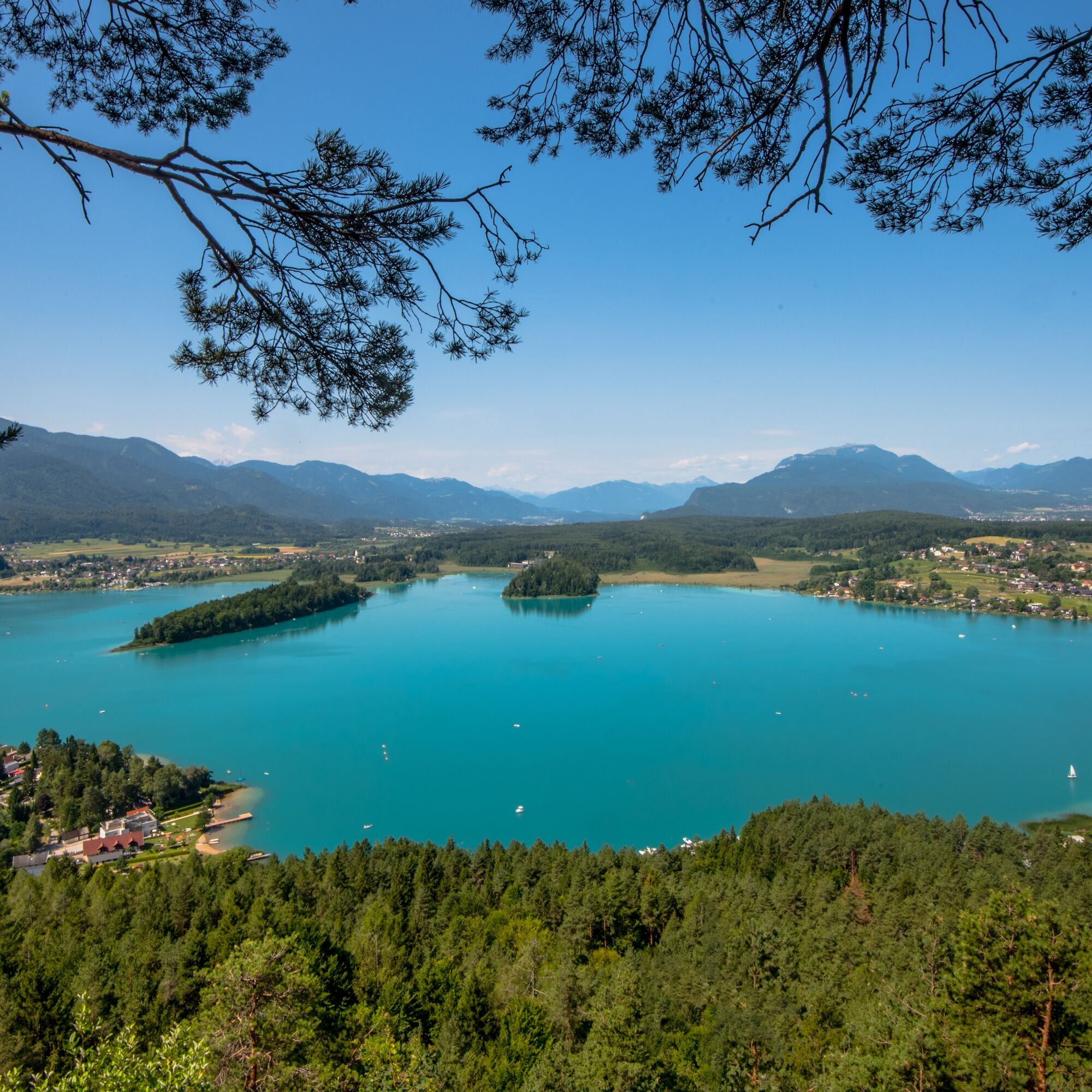

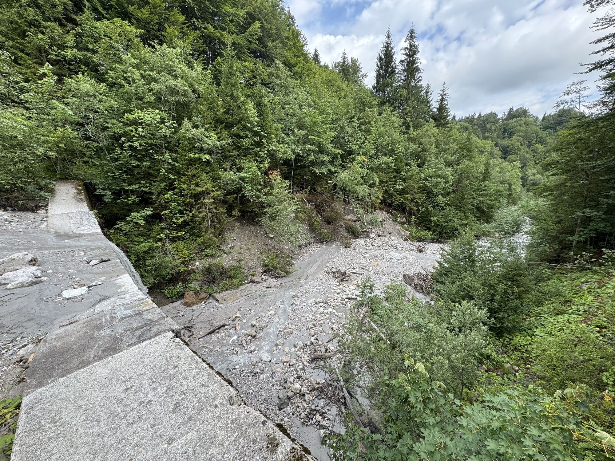
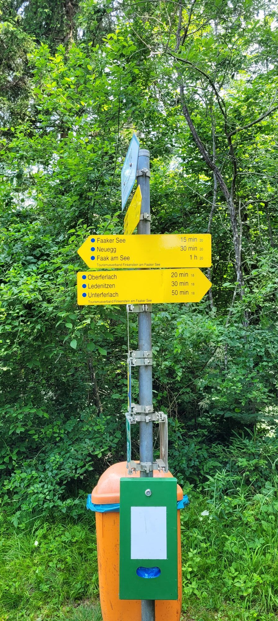
Beginning in the town of Faak am See, the route starts by taking you to the “Faaker See“ (Lake Faak) outlet where you follow the pedestrian/bike path to the right along the edge of the reeds on the lake. After crossing a small bridge over the stream, ride along the lake until getting to “Nivea Bad.” Take a left here and ride on the pedestrian/bike path parallel to the main road until just before “Campingplatz Arneitz.” Cross over the main road here and follow a dirt path through a mixture of reeds and forest until you get to the edge of a huge meadow. You now find yourself on a paved road cutting through the prairie to the B84 road which will take you to the town center of Ledenitzen. After the village, you follow a small street next to the railroad tracks through the small village of Unterferlach, and then past a few houses in Mallenitzen where you meet up with the B85 road. Cross the main road and follow the narrow paved road a few meters until taking right at the “Zyklamenweg.” Shortly after another train crossing, the path goes to the left onto a forest path. Follow this path through the forest until reaching the first obvious fork in the road. Take a left there and go uphill on a narrow path to a small paved street. Don’t get too comfortable on the road because you turn right into the forest after only a few meters- follow the forest path until reaching the next paved road. Ride on this road for a while upwards until arriving at a marked intersection- take a right and ride slightly downhill until you reach a dry river bed. Crossing the riverbed is not easy, but once you get across you will be a short ride from the “Buschenschenke Ischnighof” restaurant/tavern. From there, ride on the paved road, through a beautiful meadow to the houses of Ouschena, where you will have reached the highest point of the ride. Now you will ride slightly downhill past an intersection to “Baumgartnerhof” in the direction of “Ruine Finkenstein.” Right before getting to the ruins, the route goes to the right past “Altfinkenstein” down to “Latschach.” Right before the B85 road, take a left and shortly thereafter take a right- you are now on a narrow path by the B85. After crossing the main road, you go in the same direction as the railroad tracks. Go through the train underpass and take a left at the end to get back to the starting point.
Helmet, water bottle, small snack.
Watch out for oncoming traffic on the small paved roads!!
Coming from Villach take the B83 or B85, turn onto the B84 then to the L53 to "Faak am See."
Take the bus to Faak am See
Near the intersection that leads to Altfinkenstein, you can keep straight and go to the "Burgruine Finkenstein" (Finkenstein Castle Ruins). There is a gorgeous view from here! Then ride straight back to the route, bike past Altfinkenstein and back to the Faaker See.

Webové kamery z prehliadky
Získajte prehľad
Vždy naživo na mieste s viac ako 9 500 webovými kamerami. bergfex Ako používateľ Pro si teraz môžete pozrieť príslušné webové kamery pre mnohé zájazdy v aplikácii zájazdy z. Môžete si tak priamo prezerať aktuálne podmienky.

Obľúbené výlety v okolí
-
4,4
Mittagskogel - Rundwanderung
ťažkéTuristika 14,5 km -
4,5
Lake circular trail
svetloNordic Walking 9,85 km -
4,3
Finsterbach Waterfalls - Circular route
strednáTuristika 3,87 km -
4,7
Rotschitza Klamm Klettersteig B/C
strednáVia ferrata 3,73 km -
4,6
Baumgtn. Höhe, Mallestiger Mittags- und Schwarzkogel
ťažkéZimná turistika 10,7 km -
4,9
Gratschenitzen Kreuz
ťažkéVysoké turné 3 km -
4,4
Mallestiger Mittagskogel
strednáTuristika 8,17 km -
4,8
Schwarzkogel-Runde über Jepzasattel Schwarzkogel, Mallestiger Mittagskogel
strednáTuristika 13,4 km -
4,2
Gerlitzen - Hüttersteig
ťažkéTuristika 6,80 km -
3,8
Forstsee Route
svetloTuristika 4,26 km

Turistika a stopovanie


Nenechajte si ujsť ponuky a inšpiráciu na ďalšiu dovolenku
Vaša e-mailová adresa bol pridaný do poštového zoznamu.





