







Carnic Dolomites Road
Úroveň náročnosti: 4
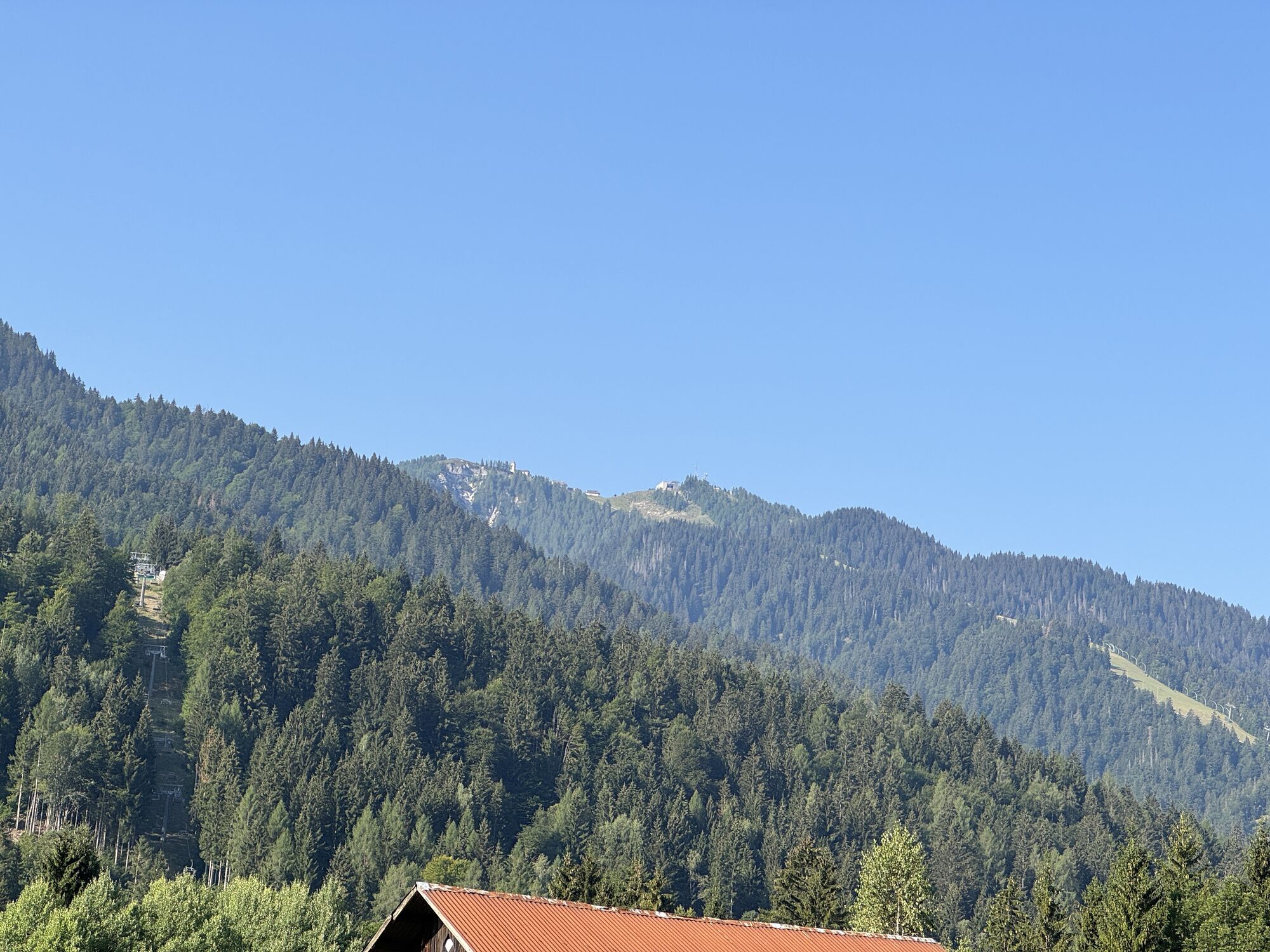
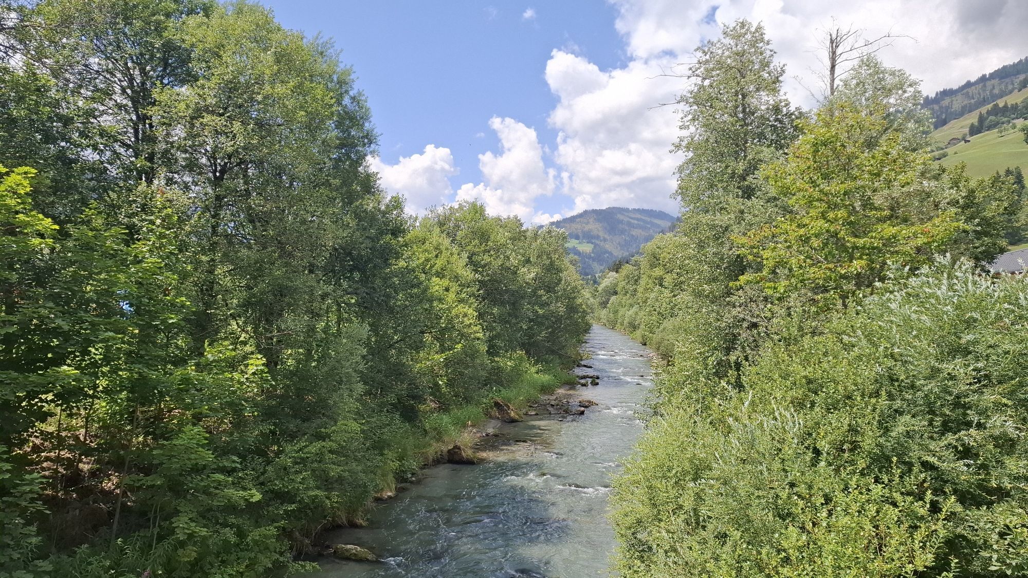
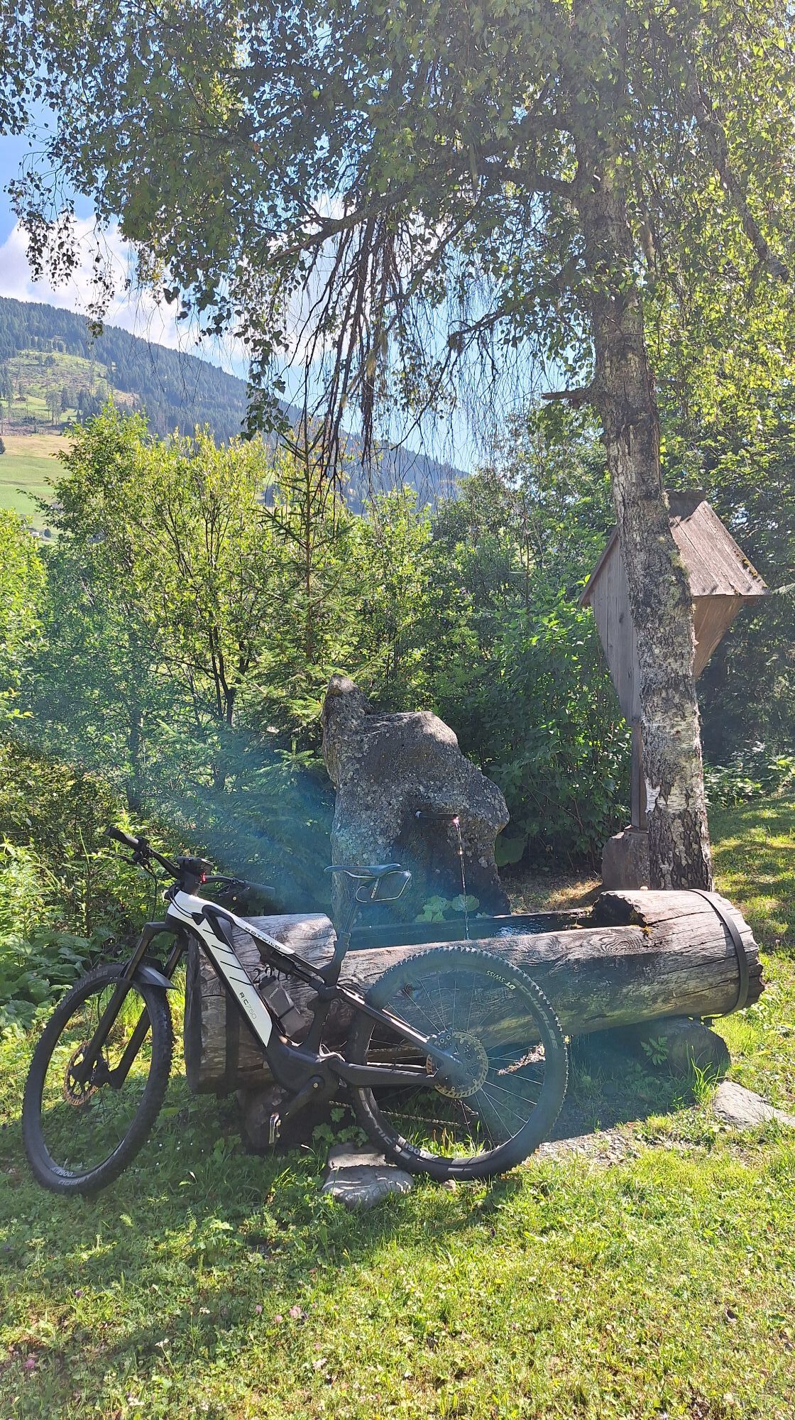
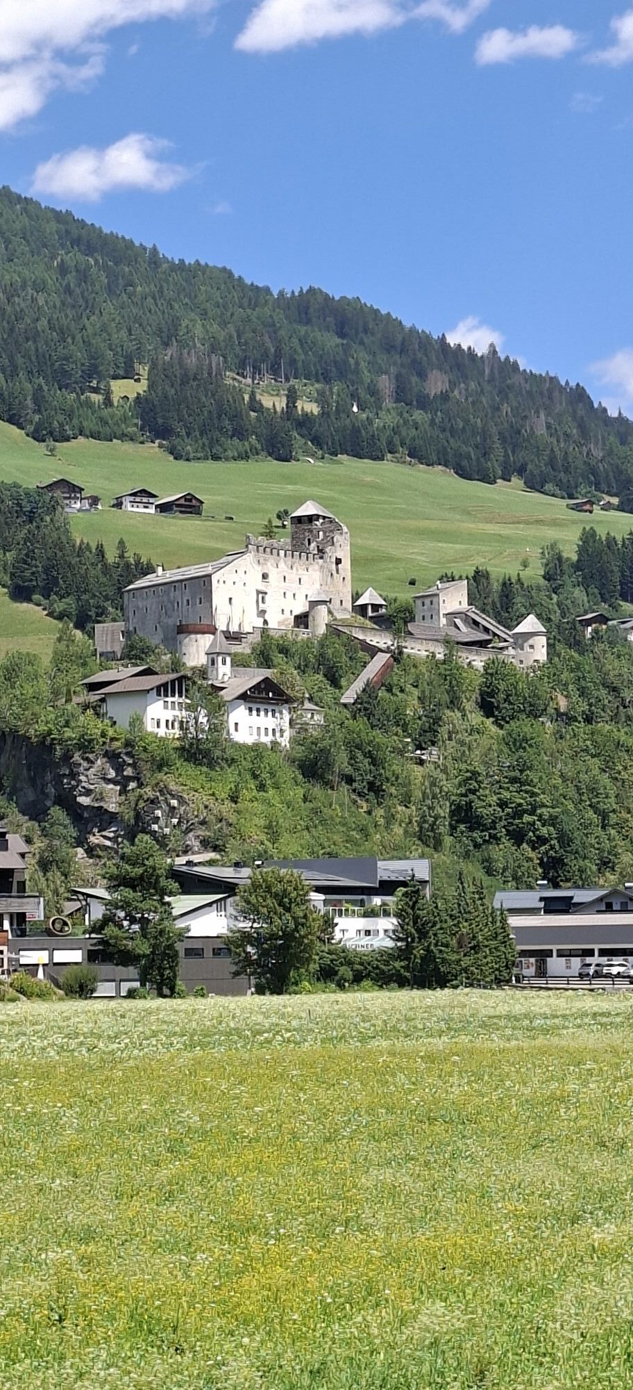
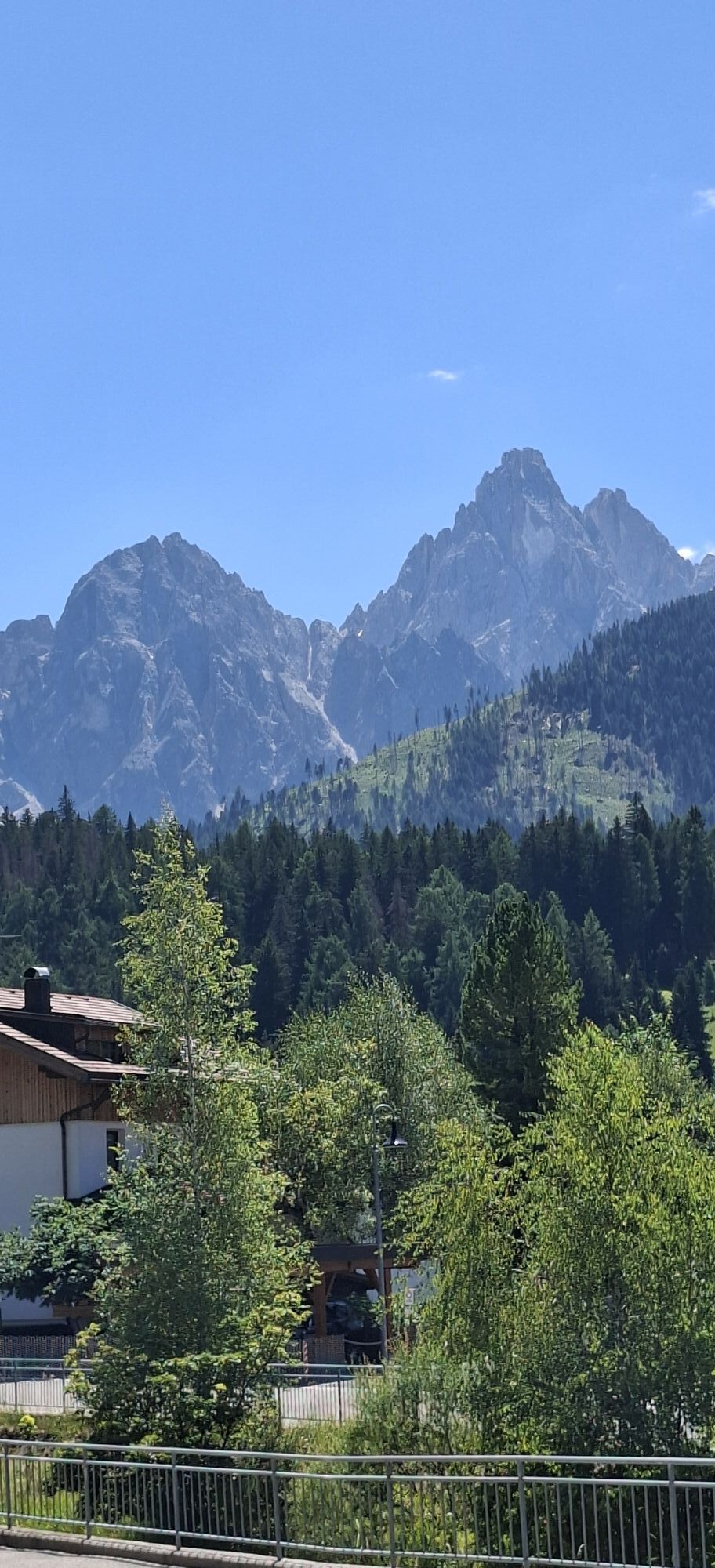
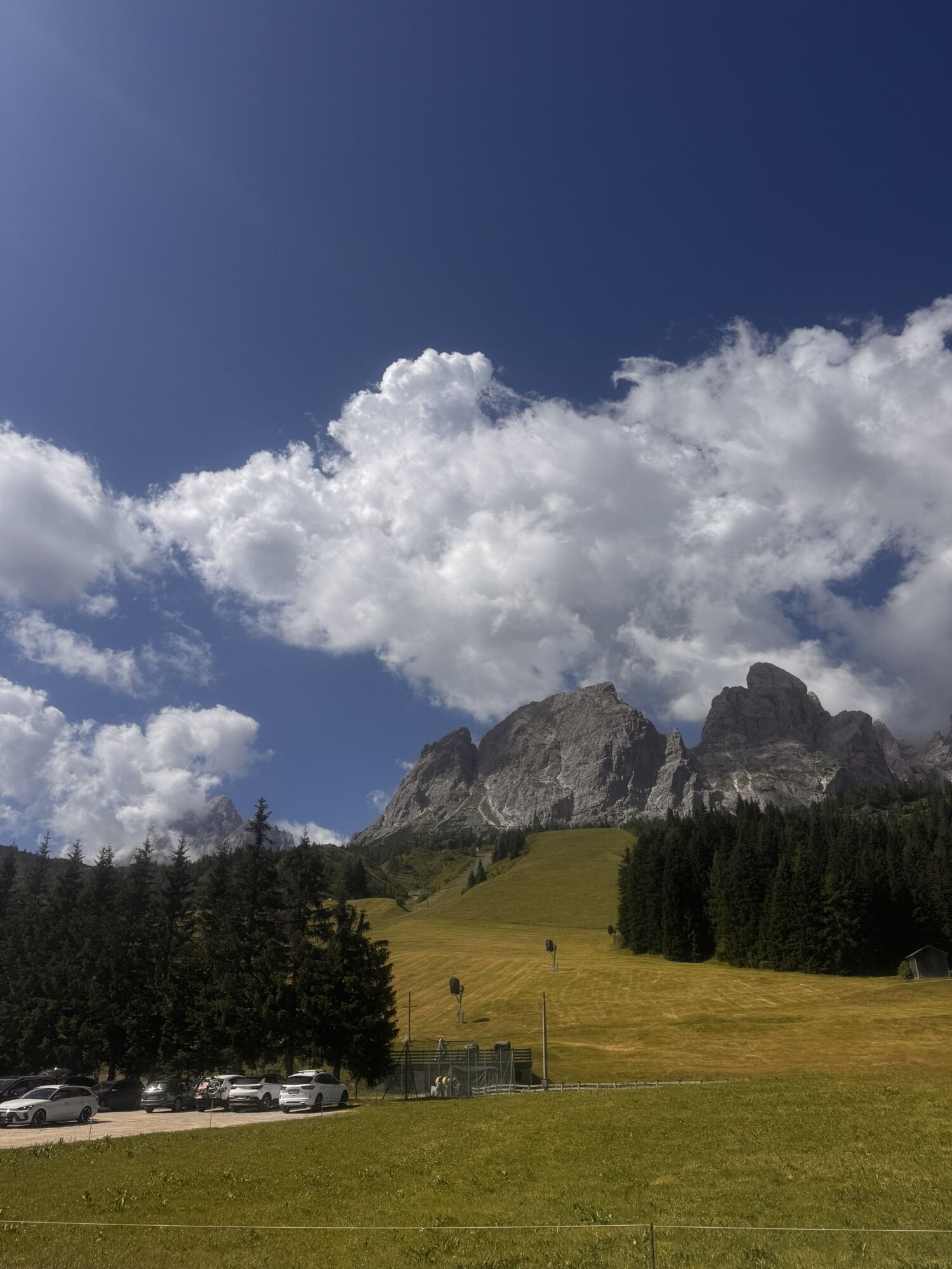
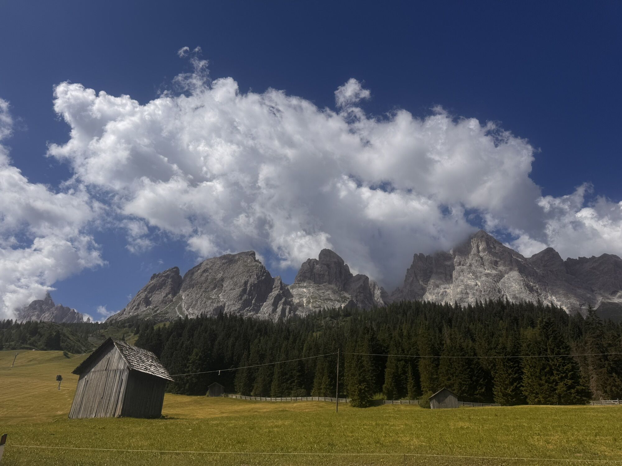
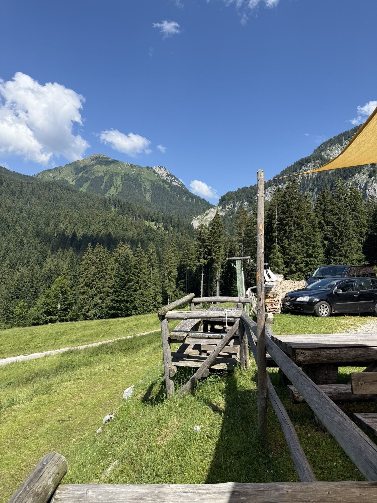
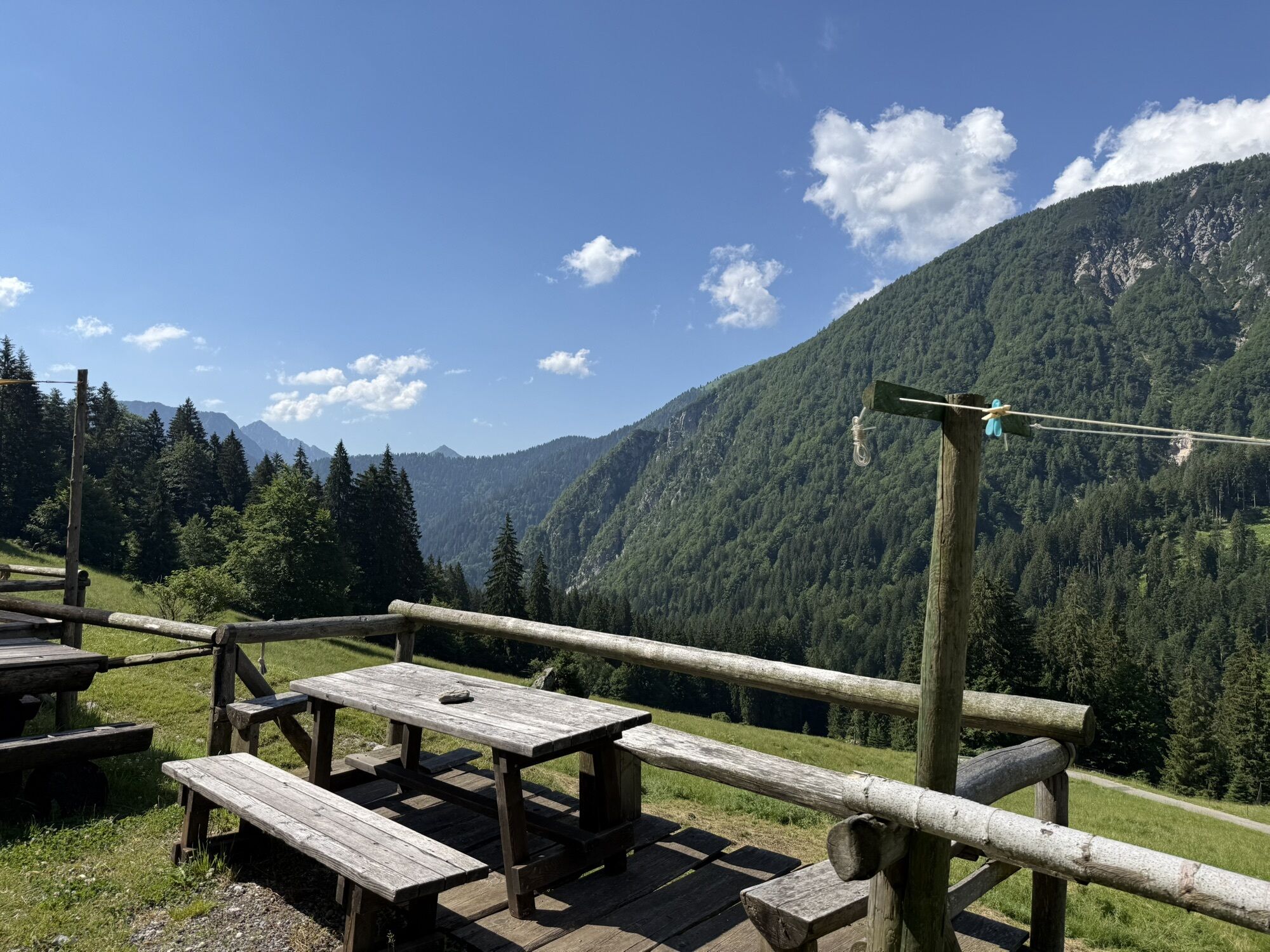
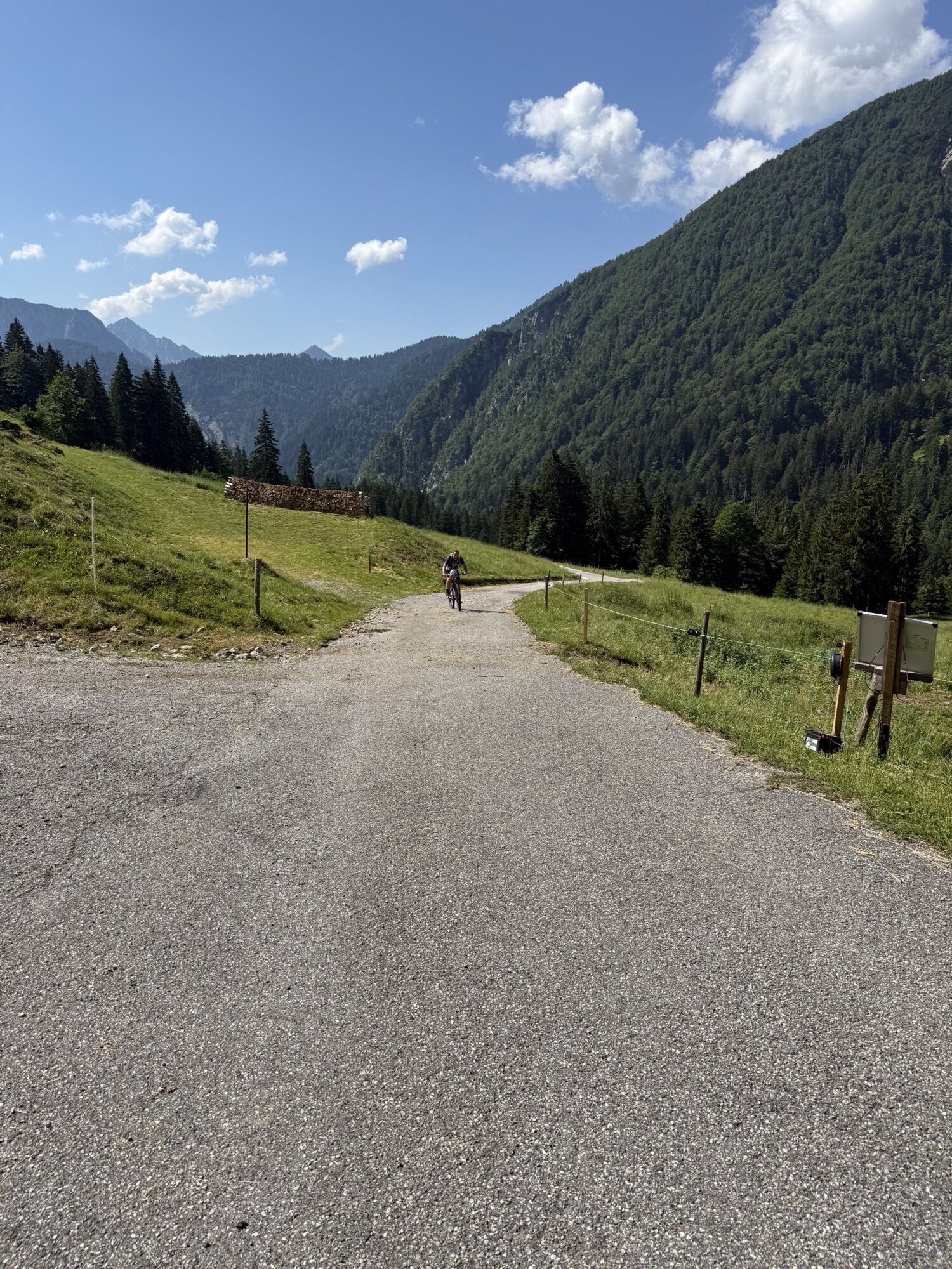
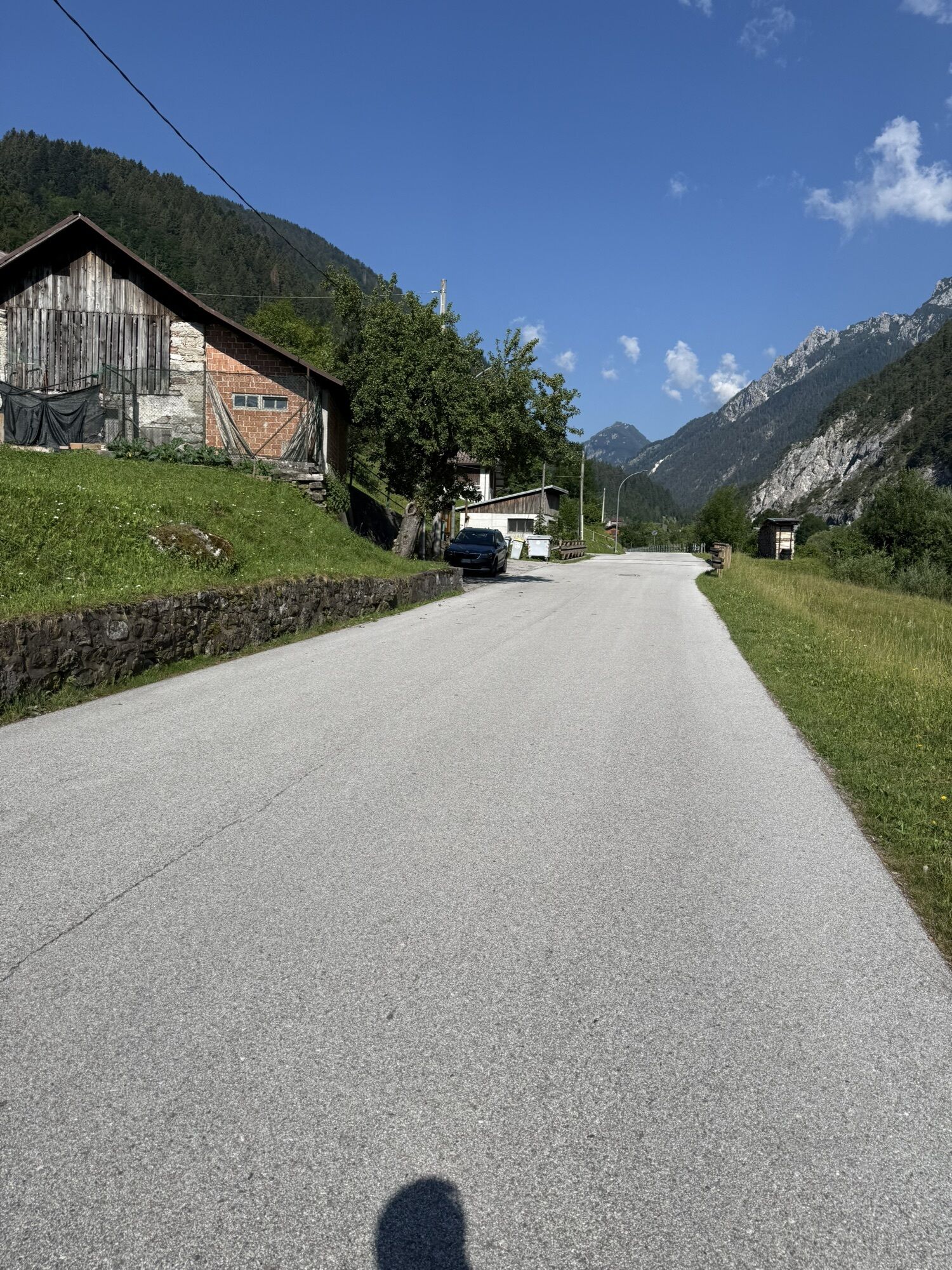
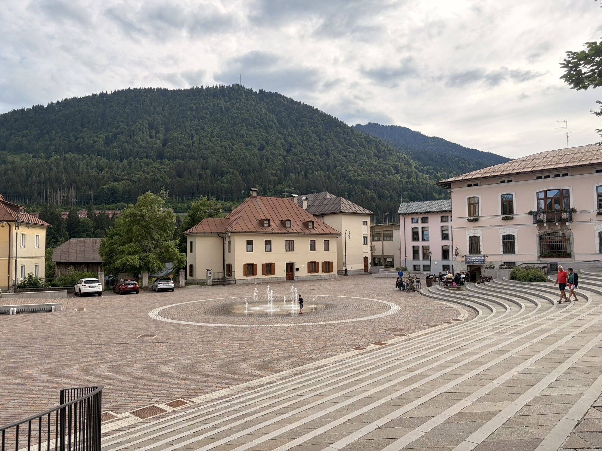
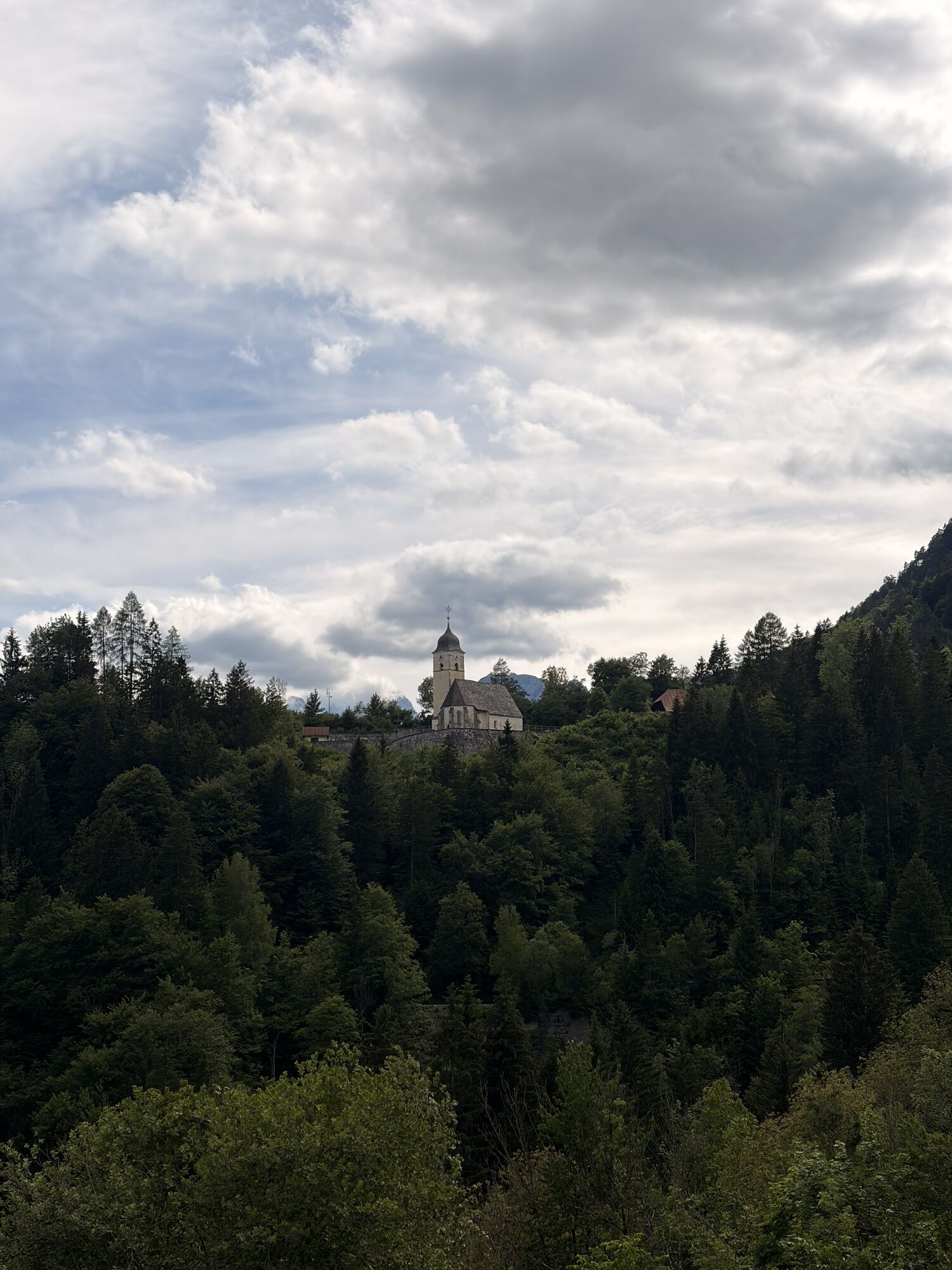
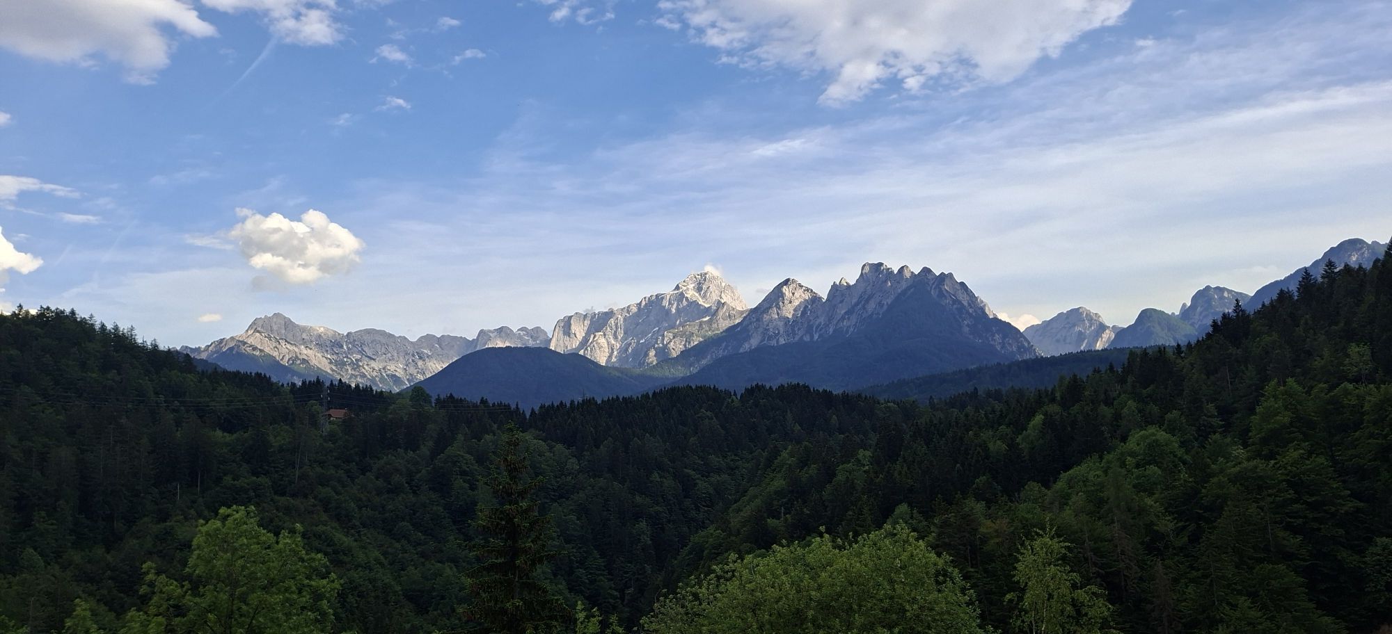
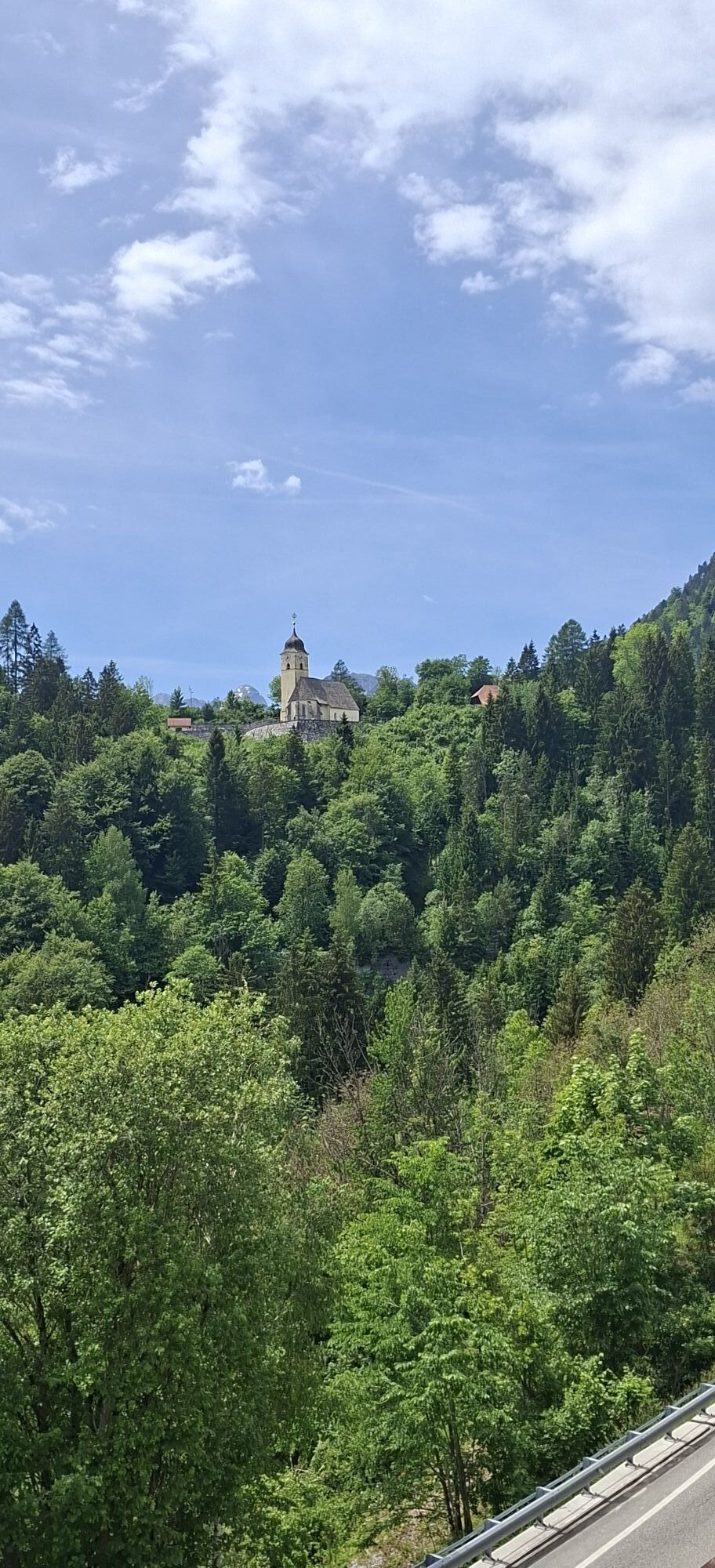
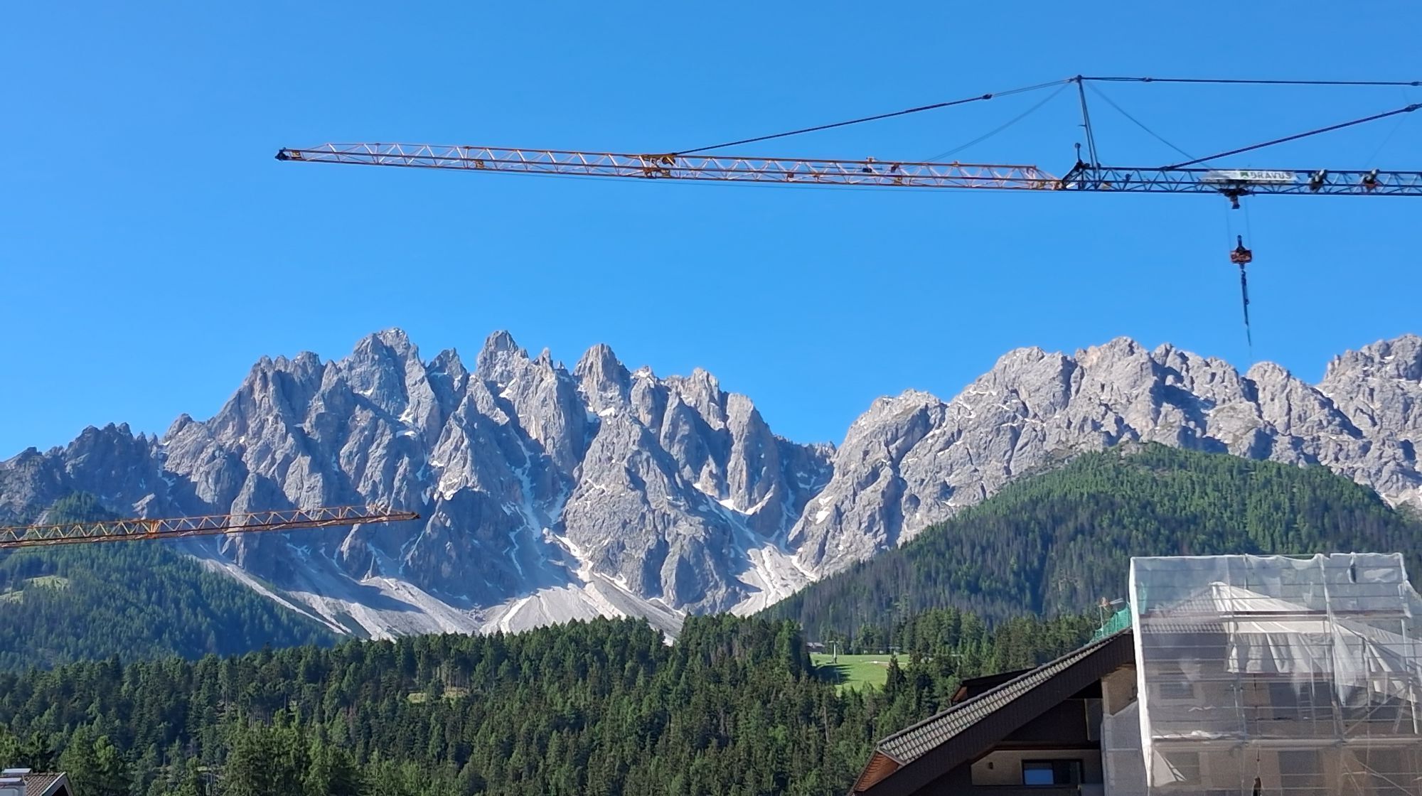
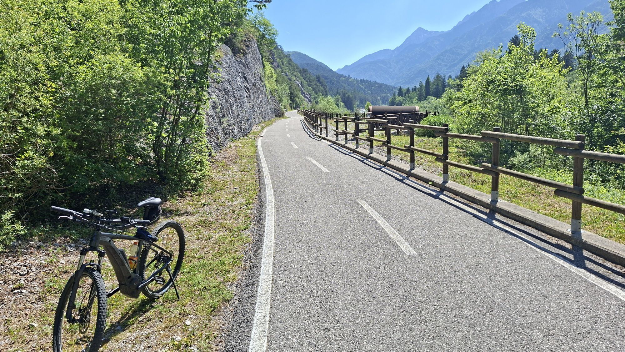
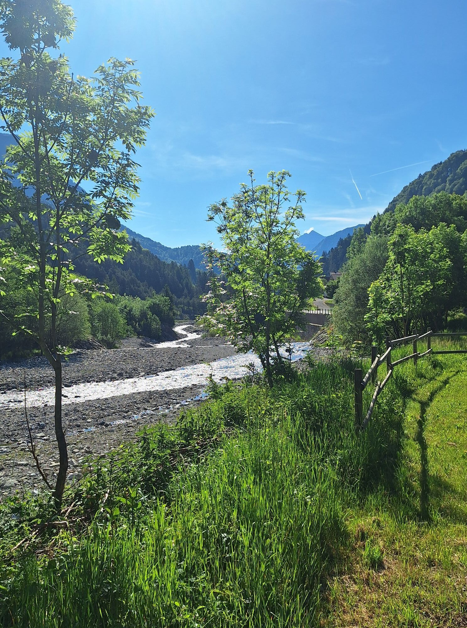
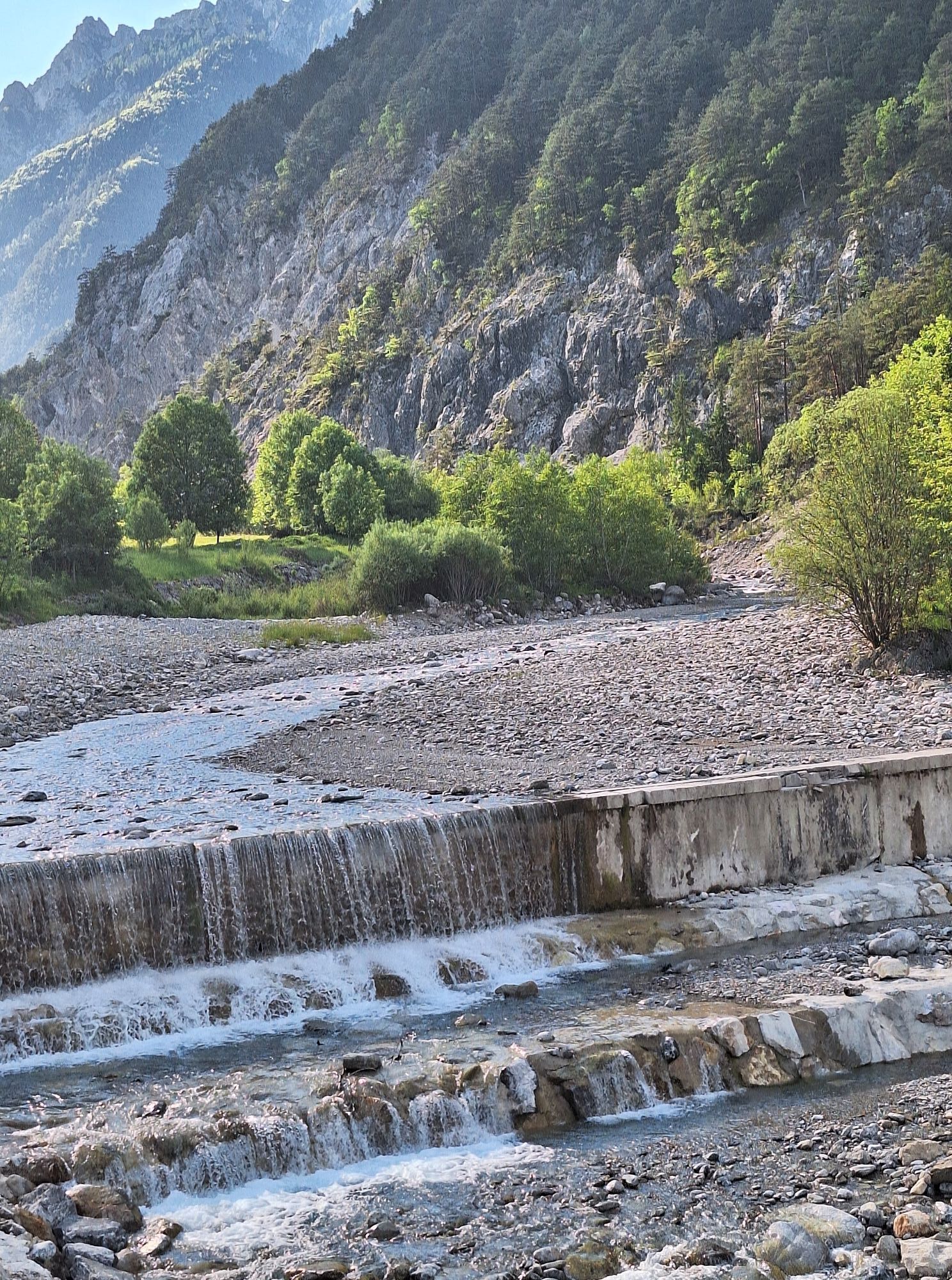
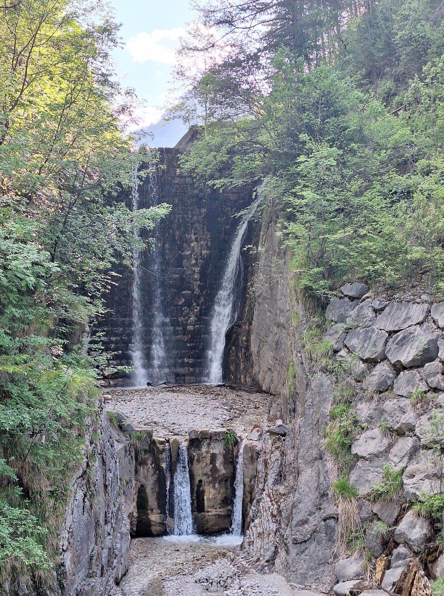
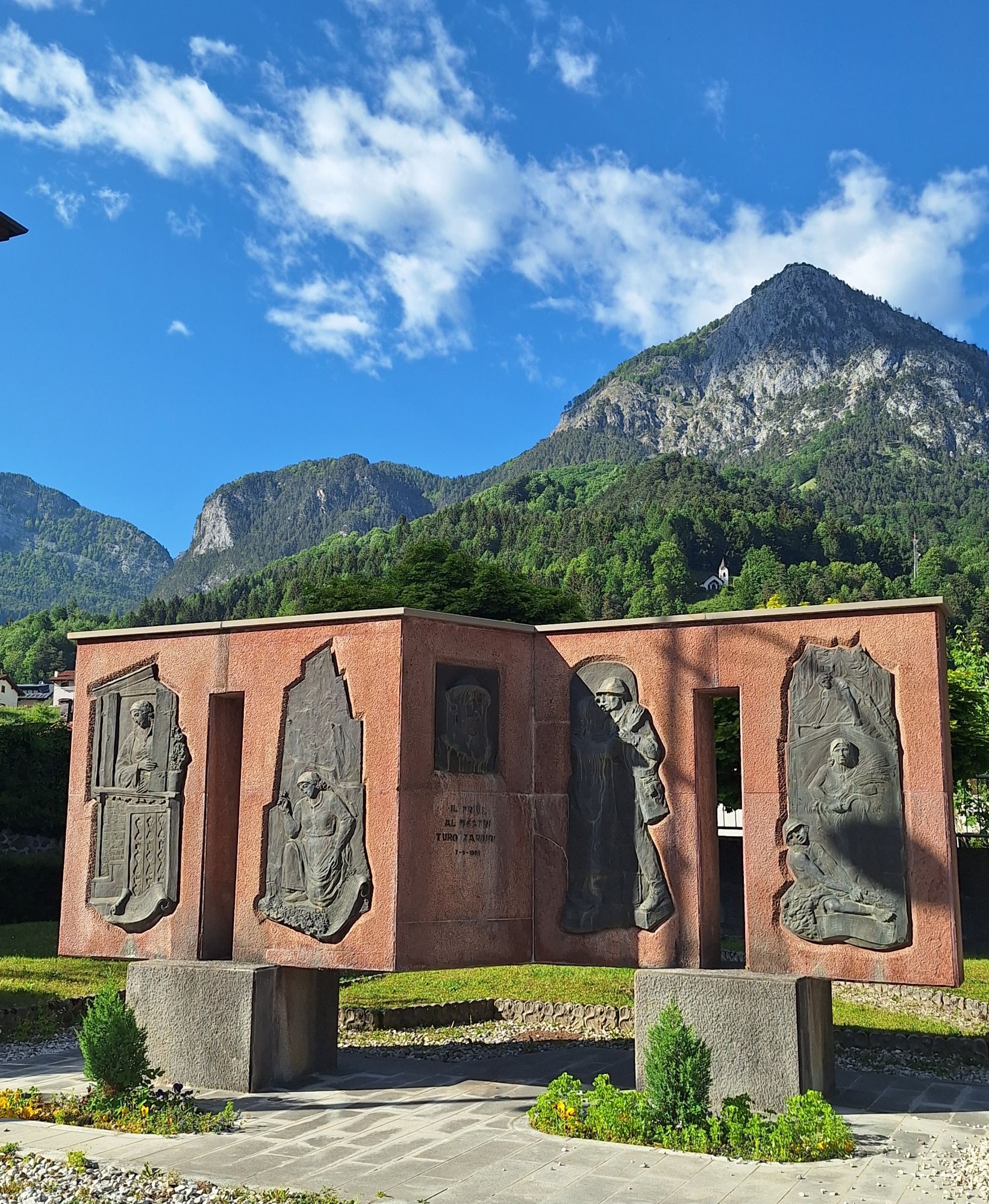
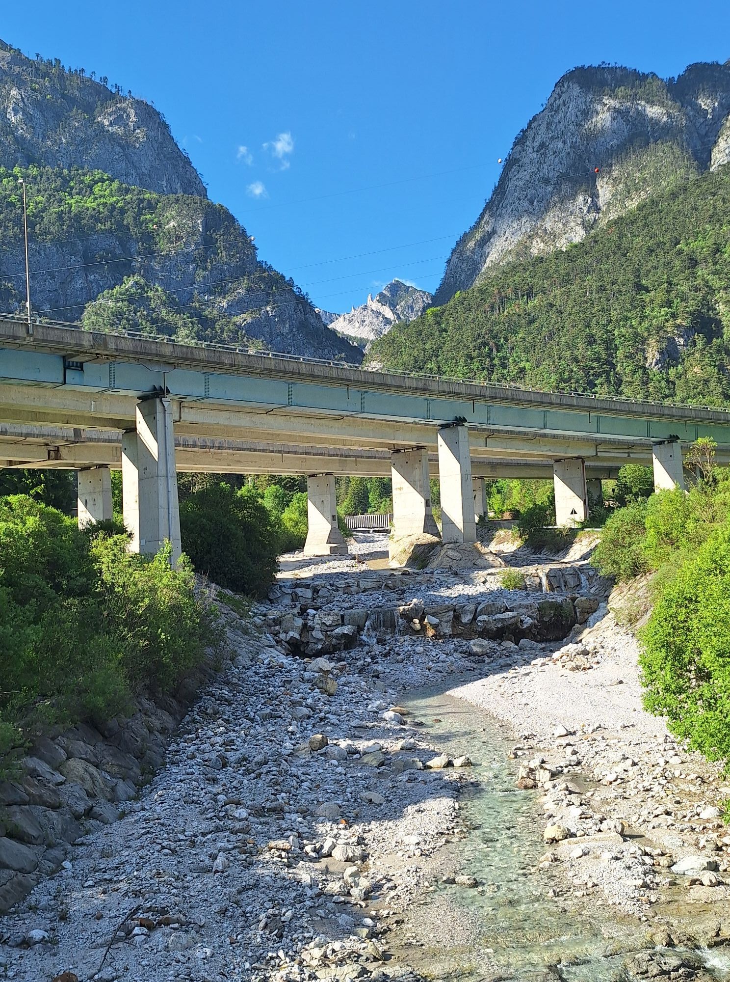
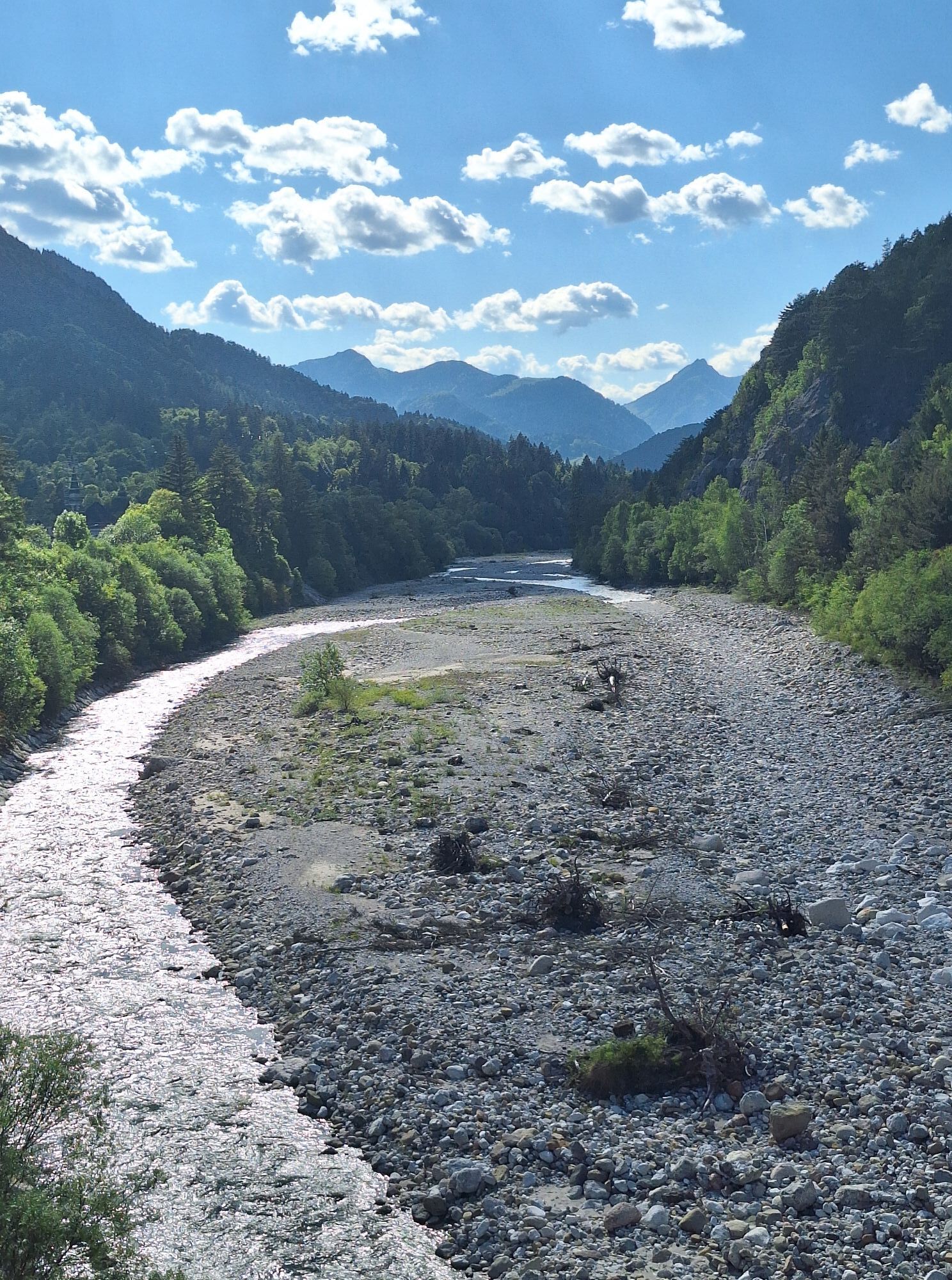
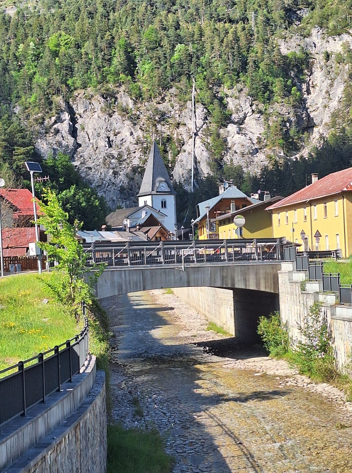
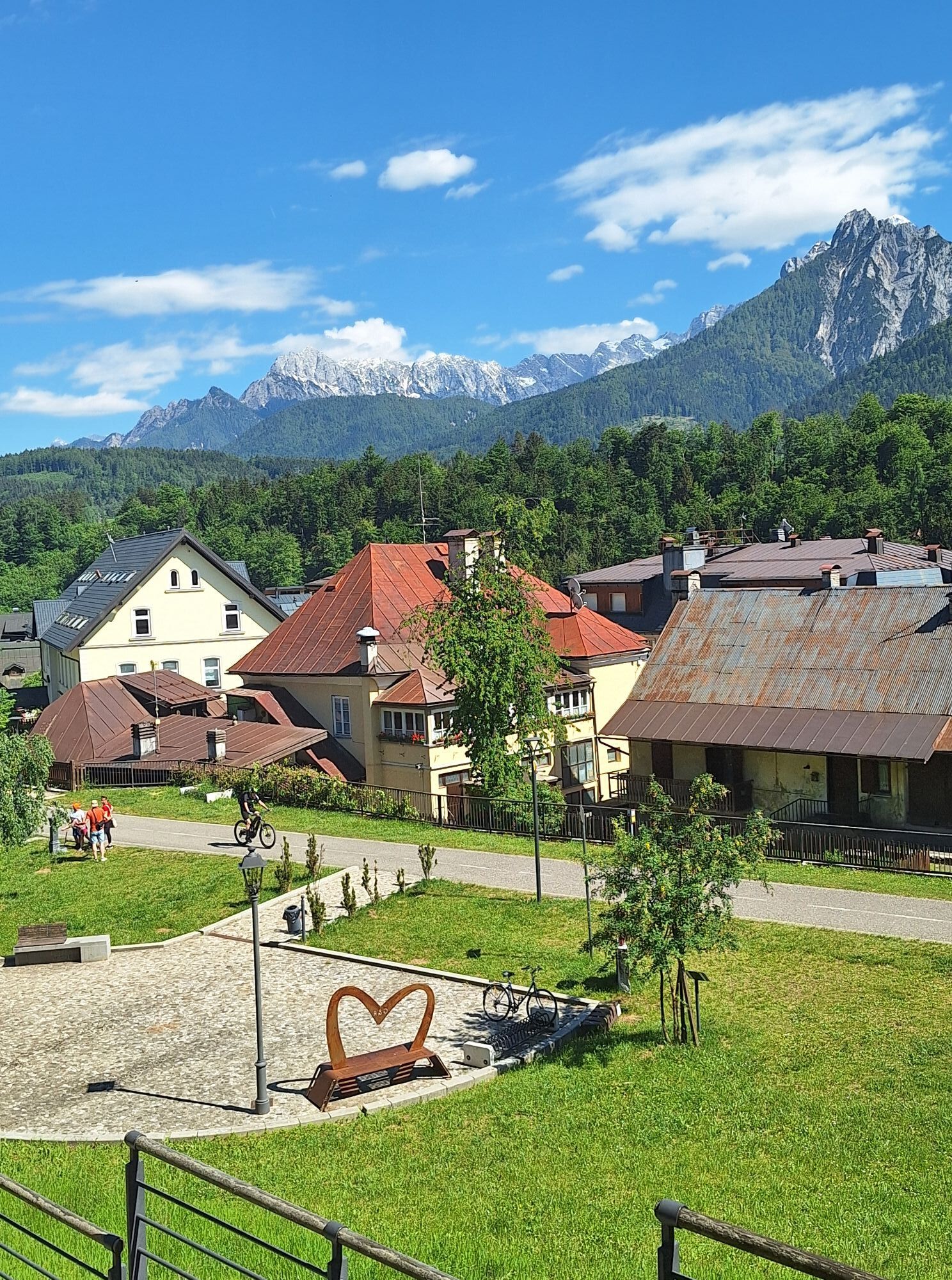
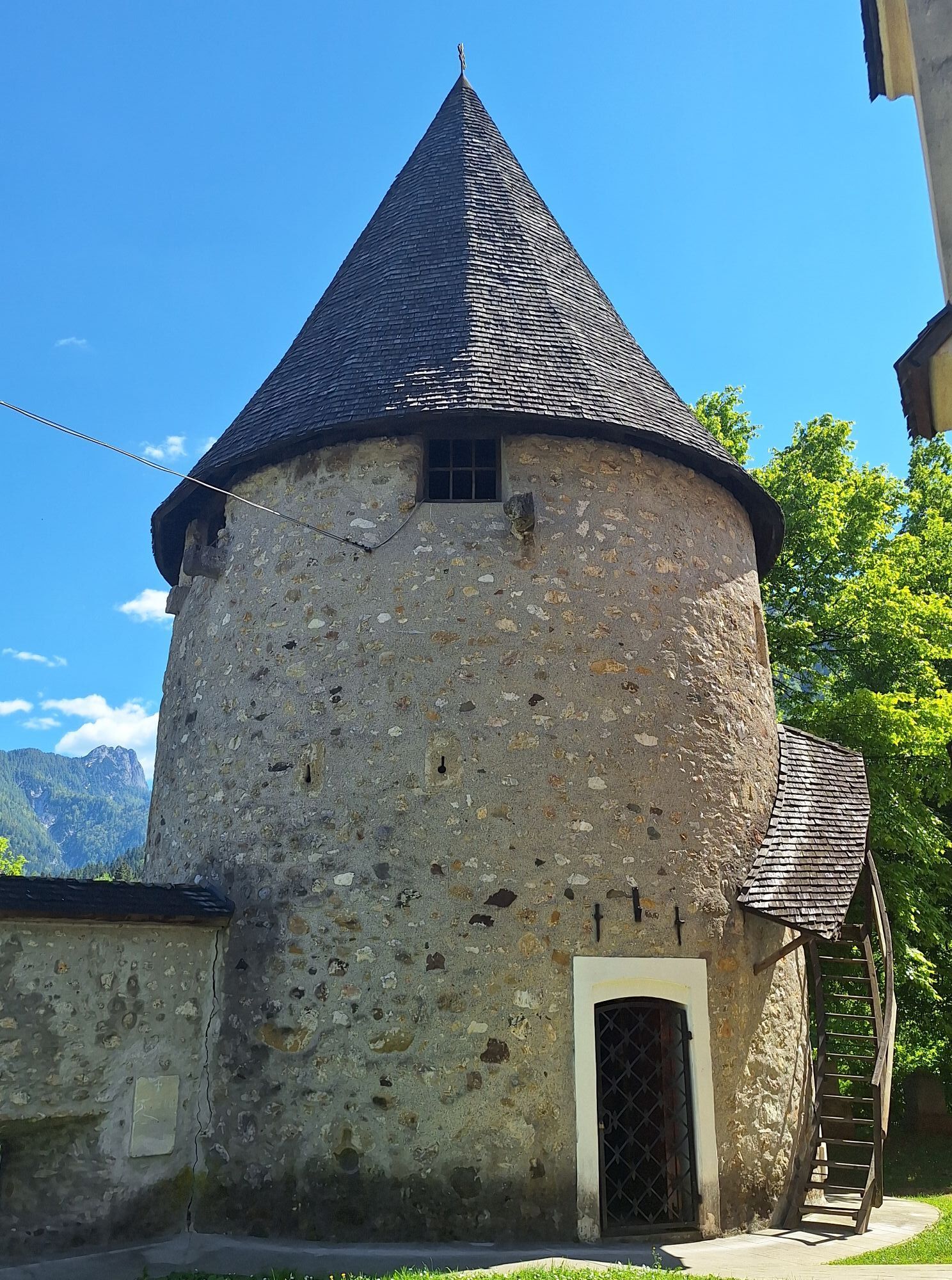
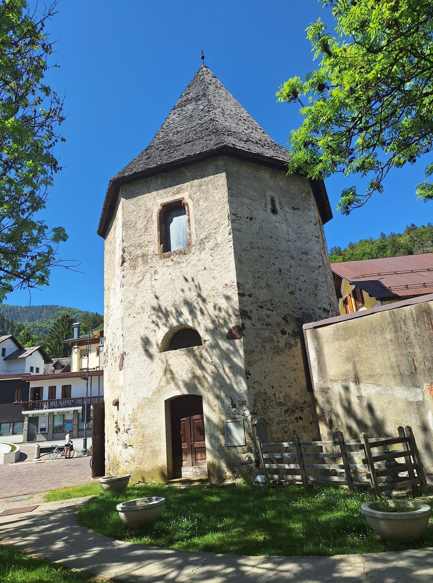
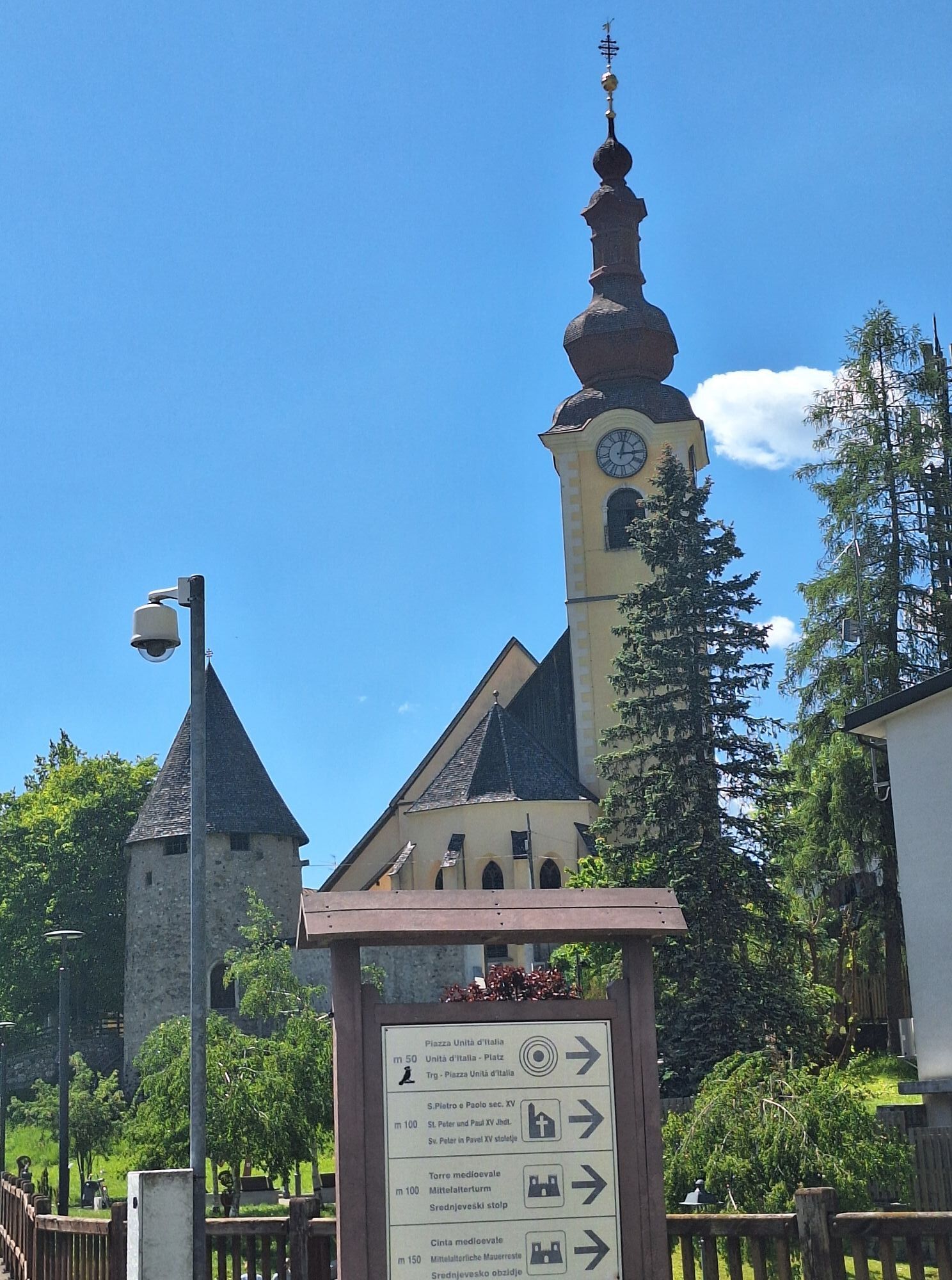
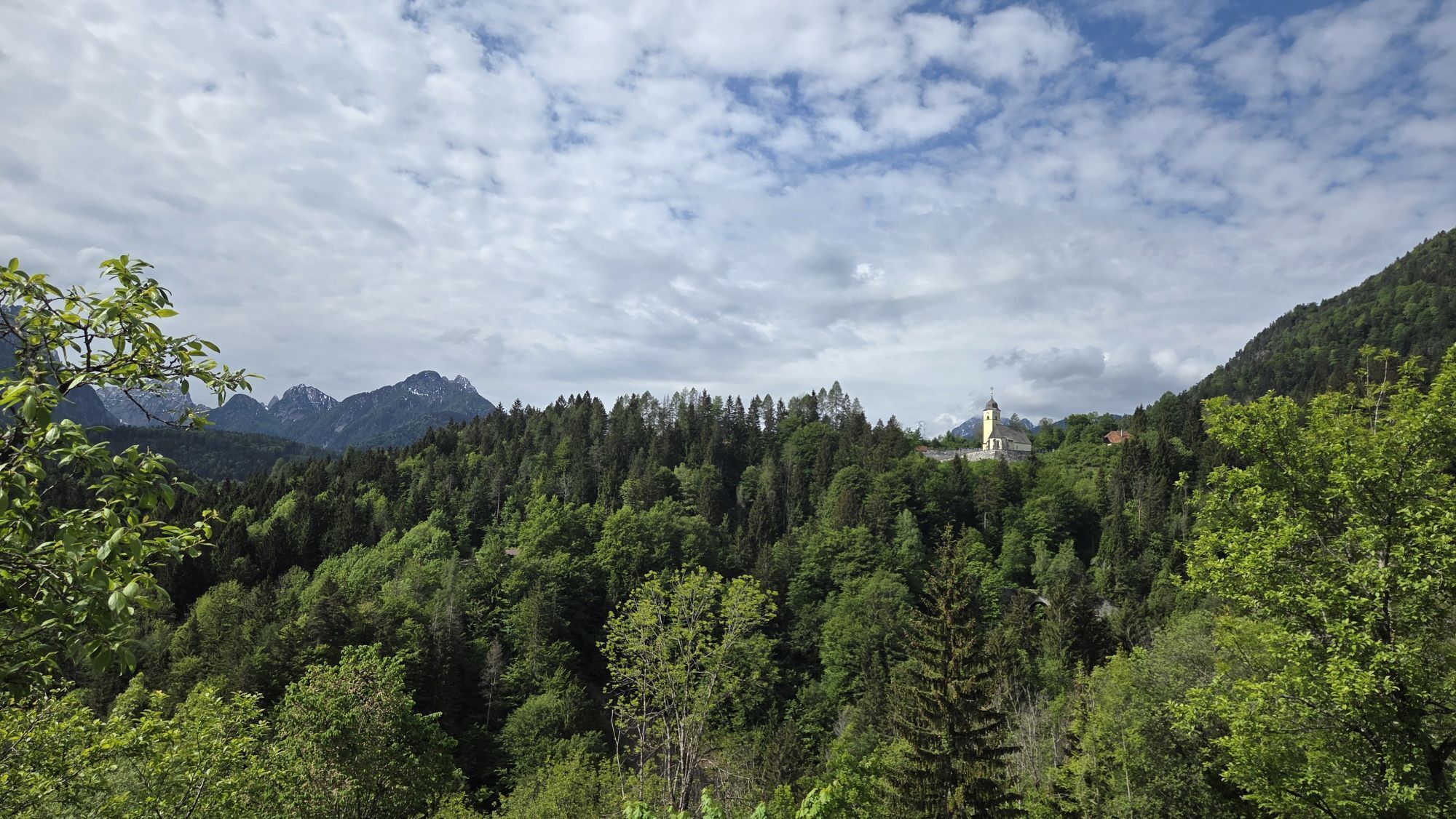
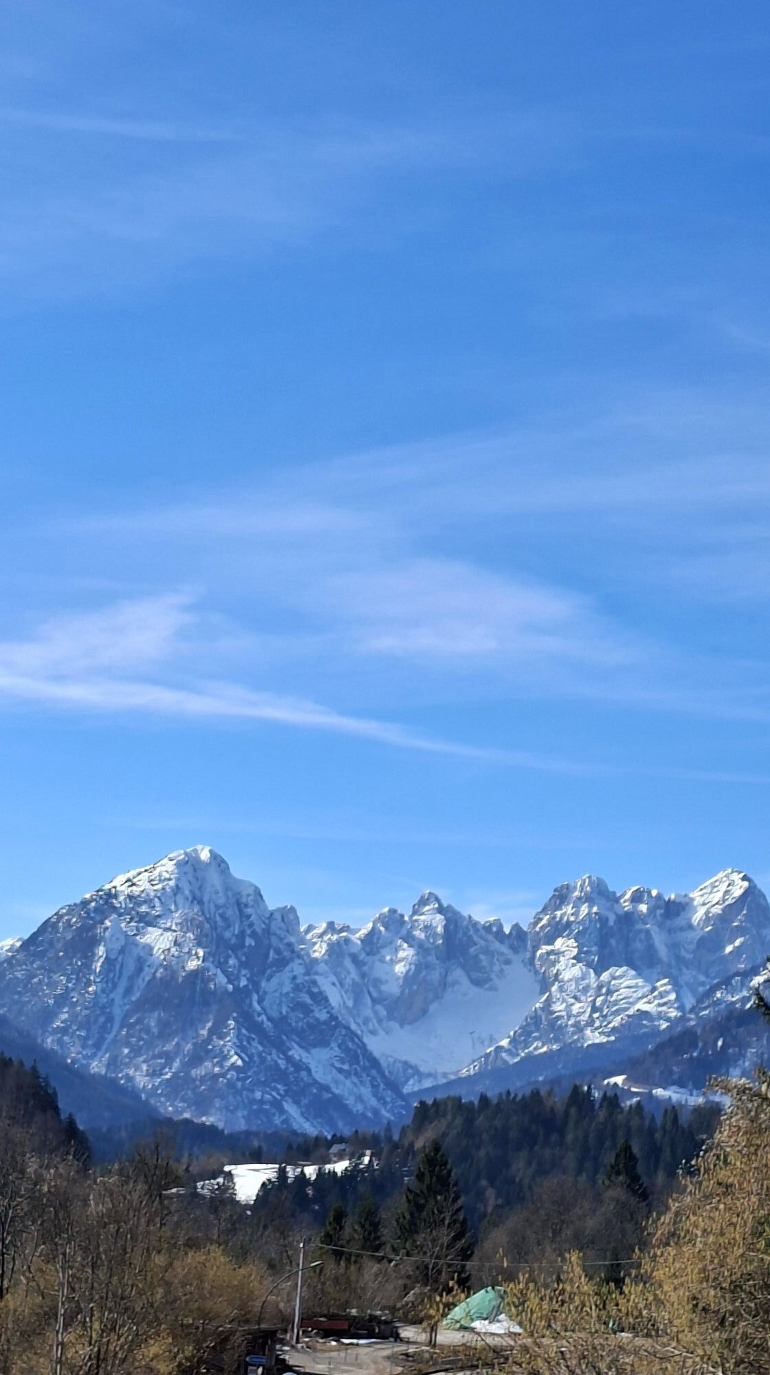
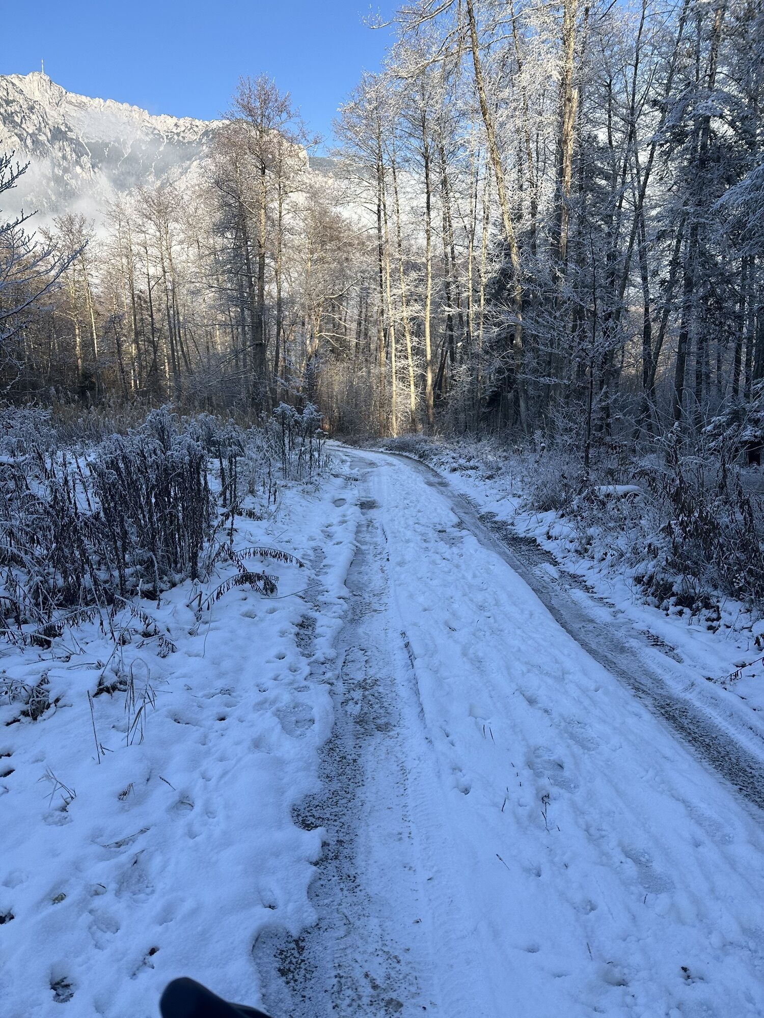
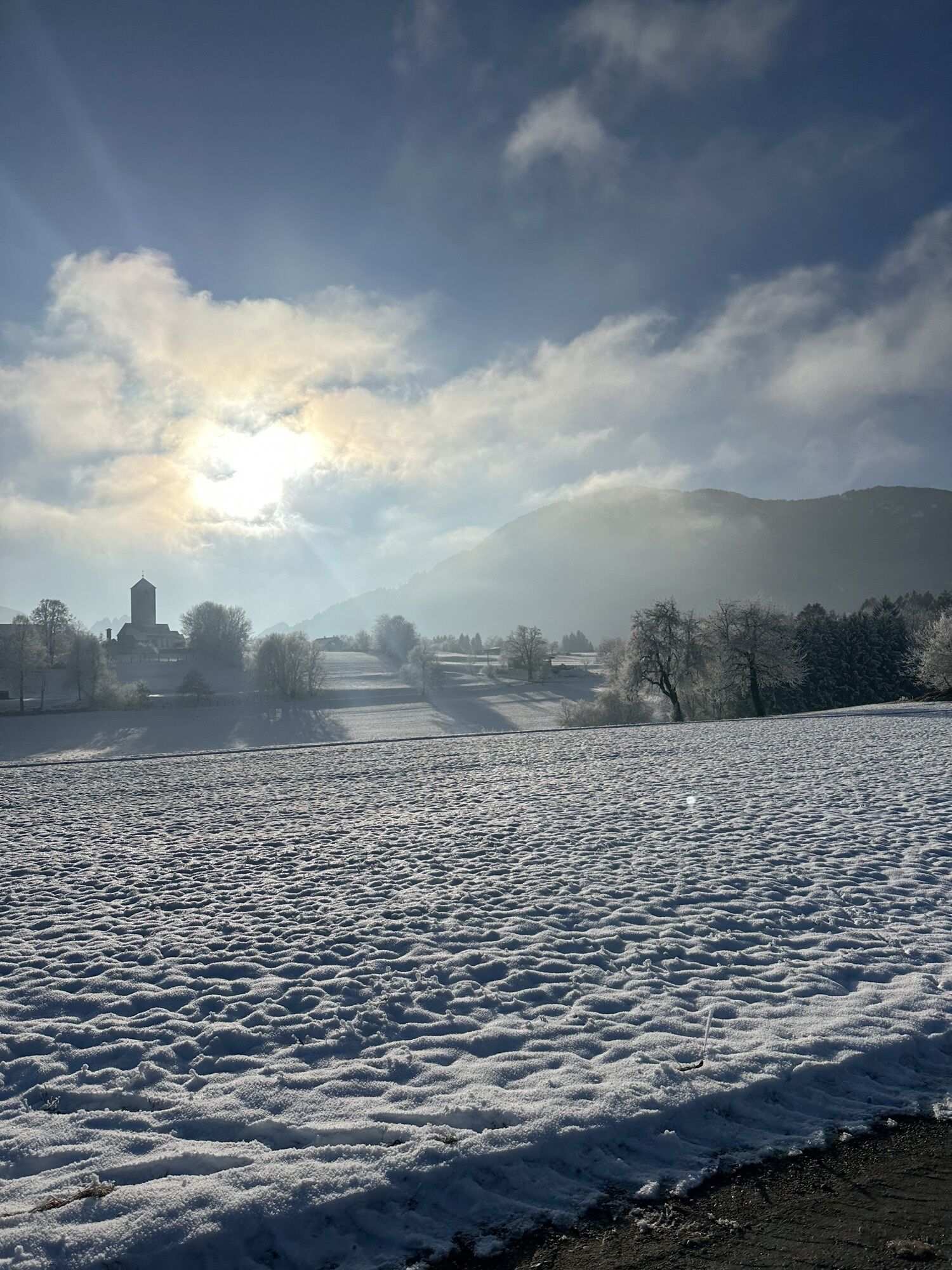
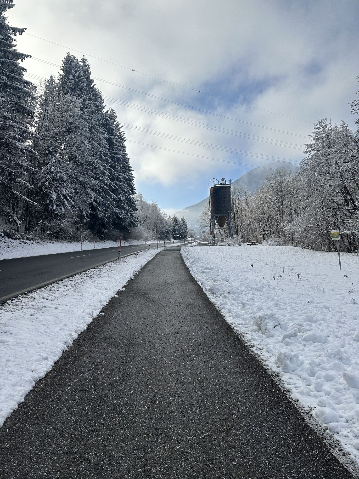
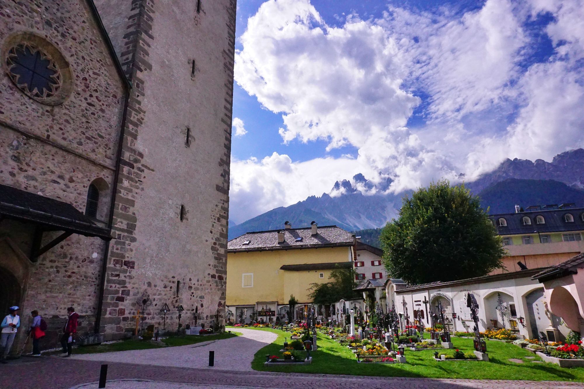
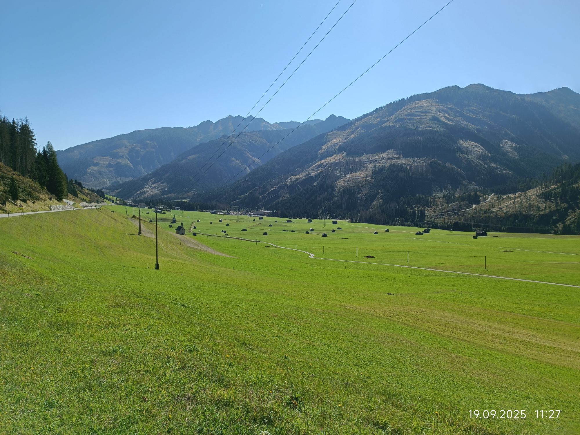
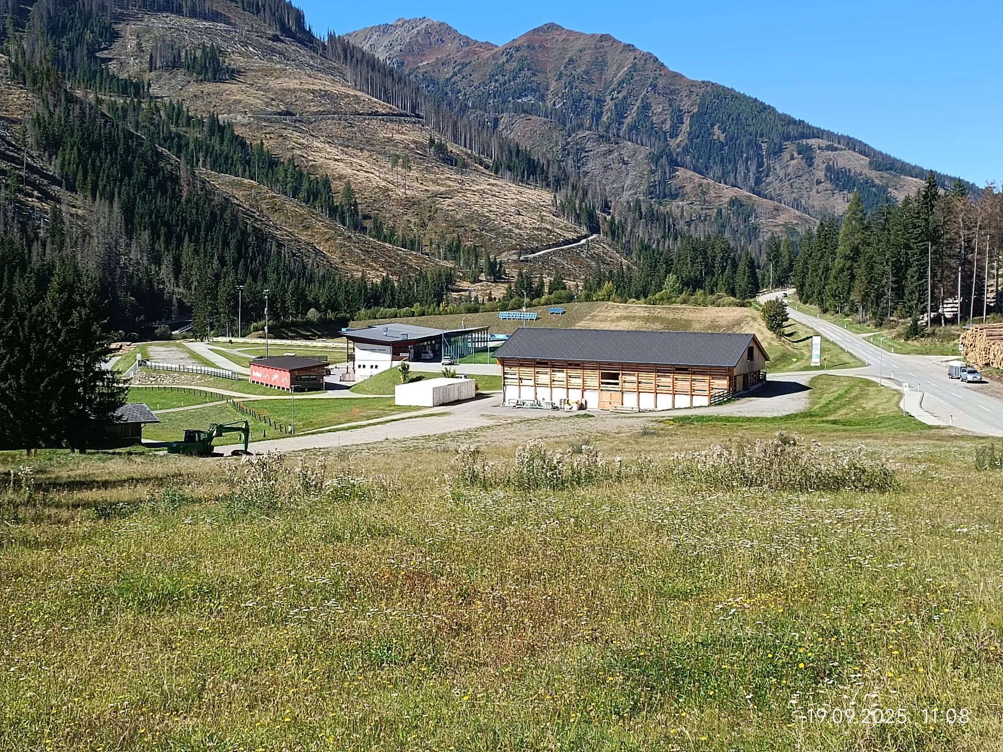


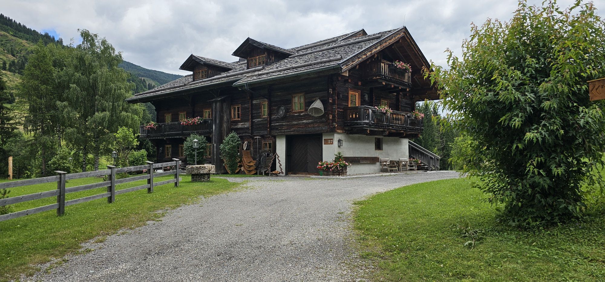
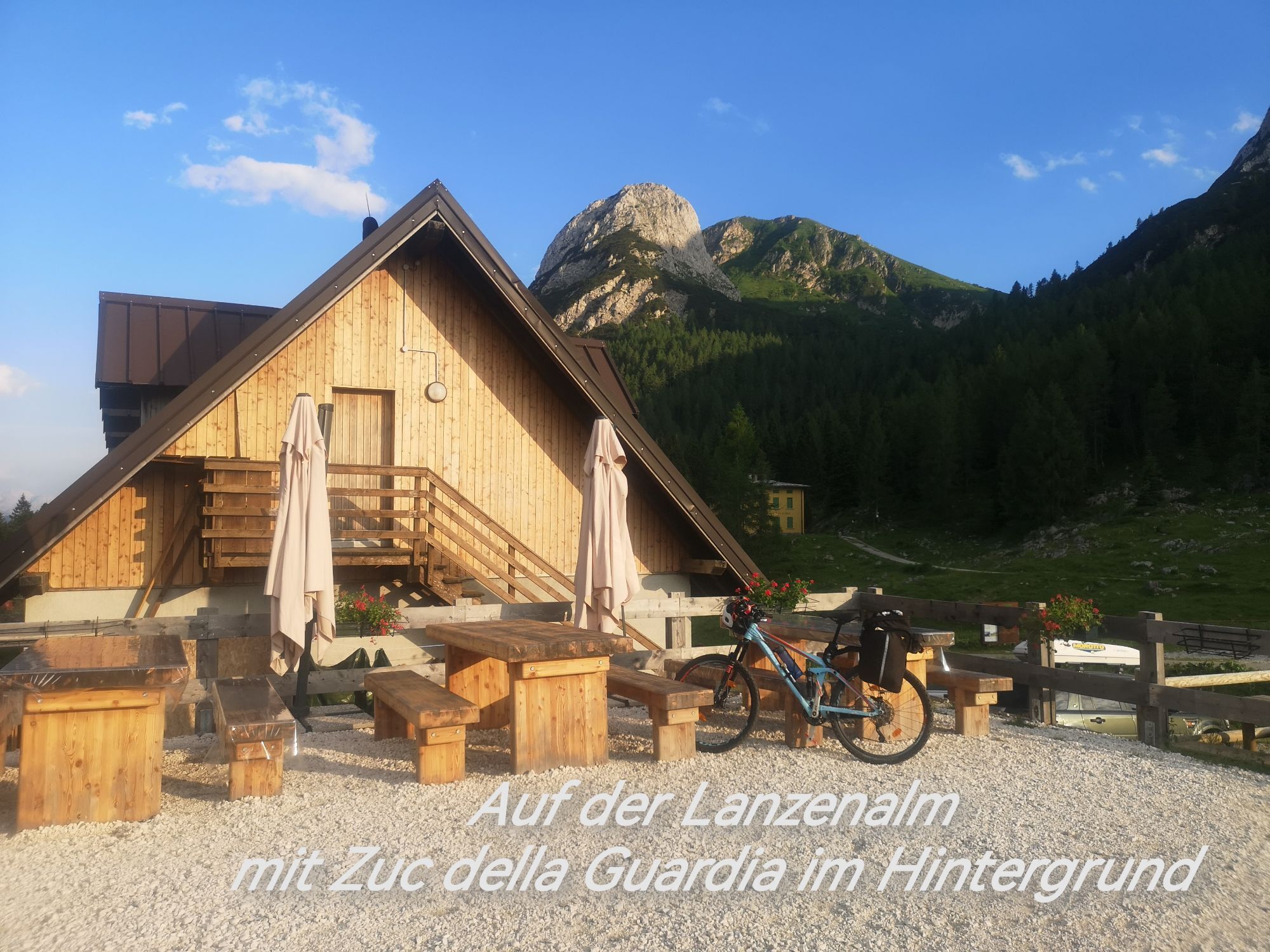
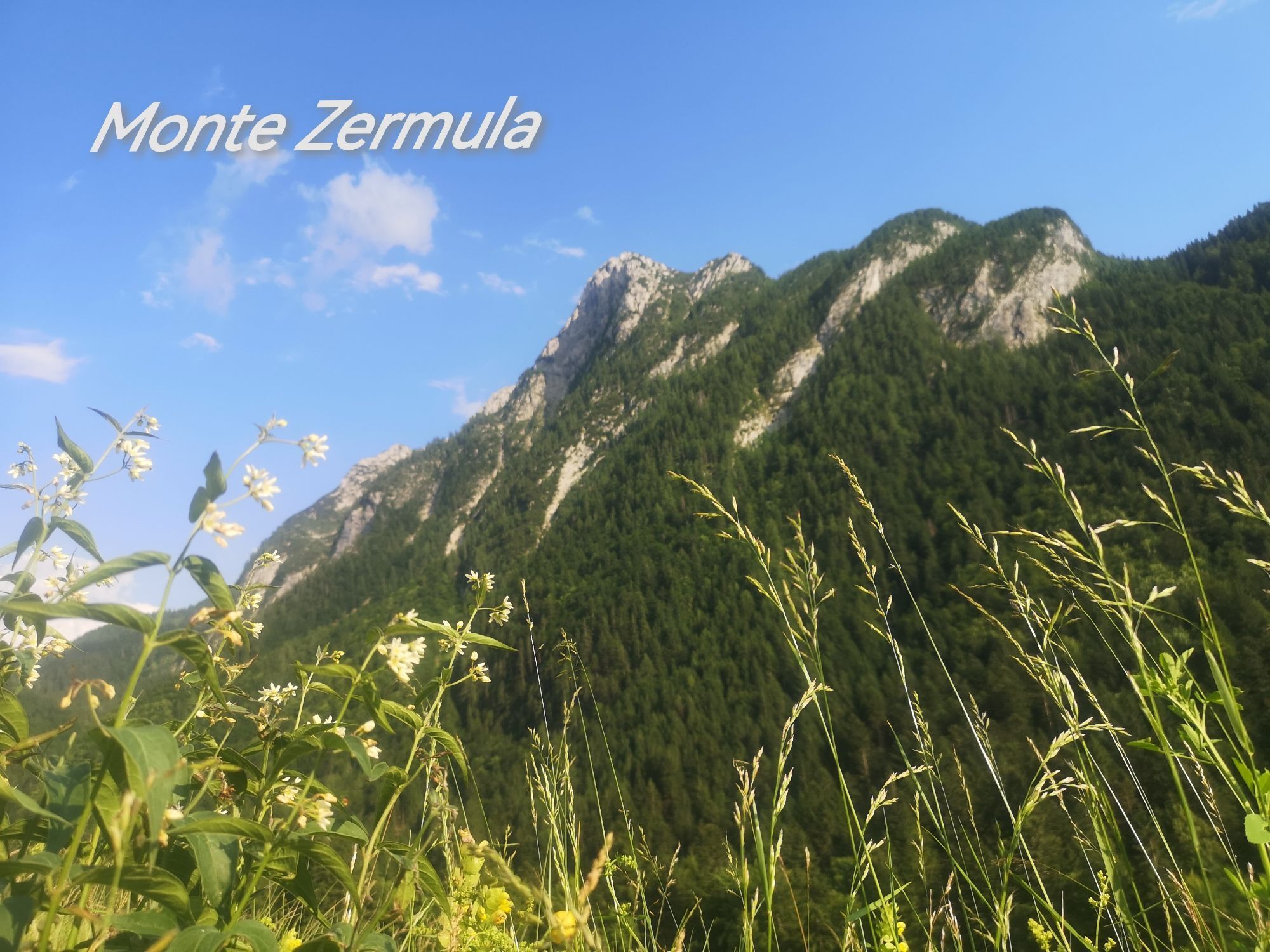
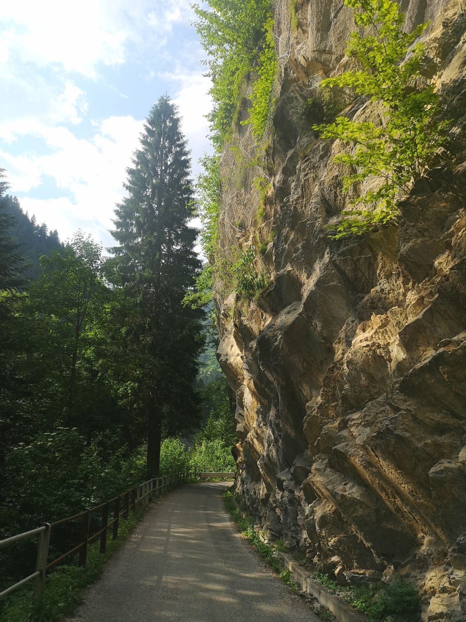
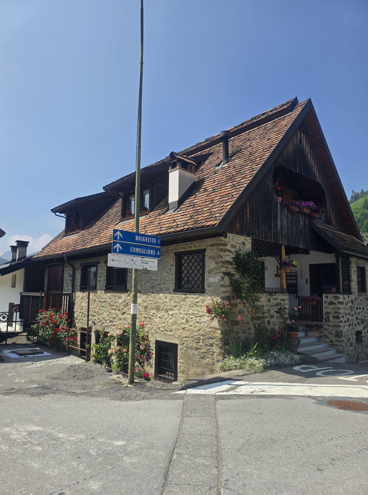
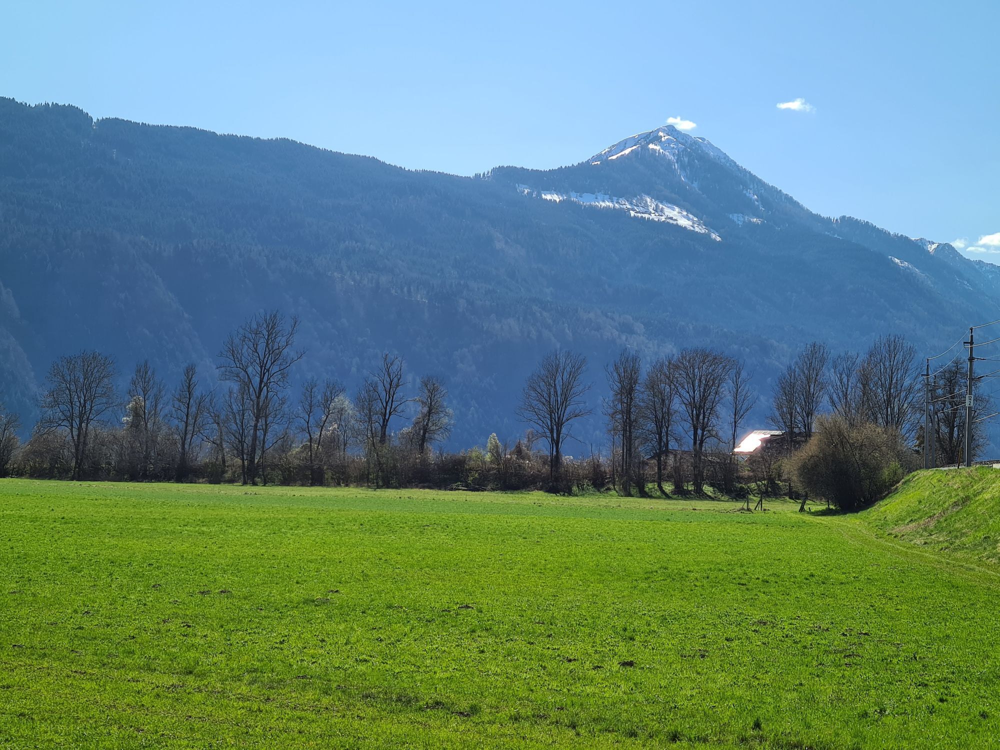
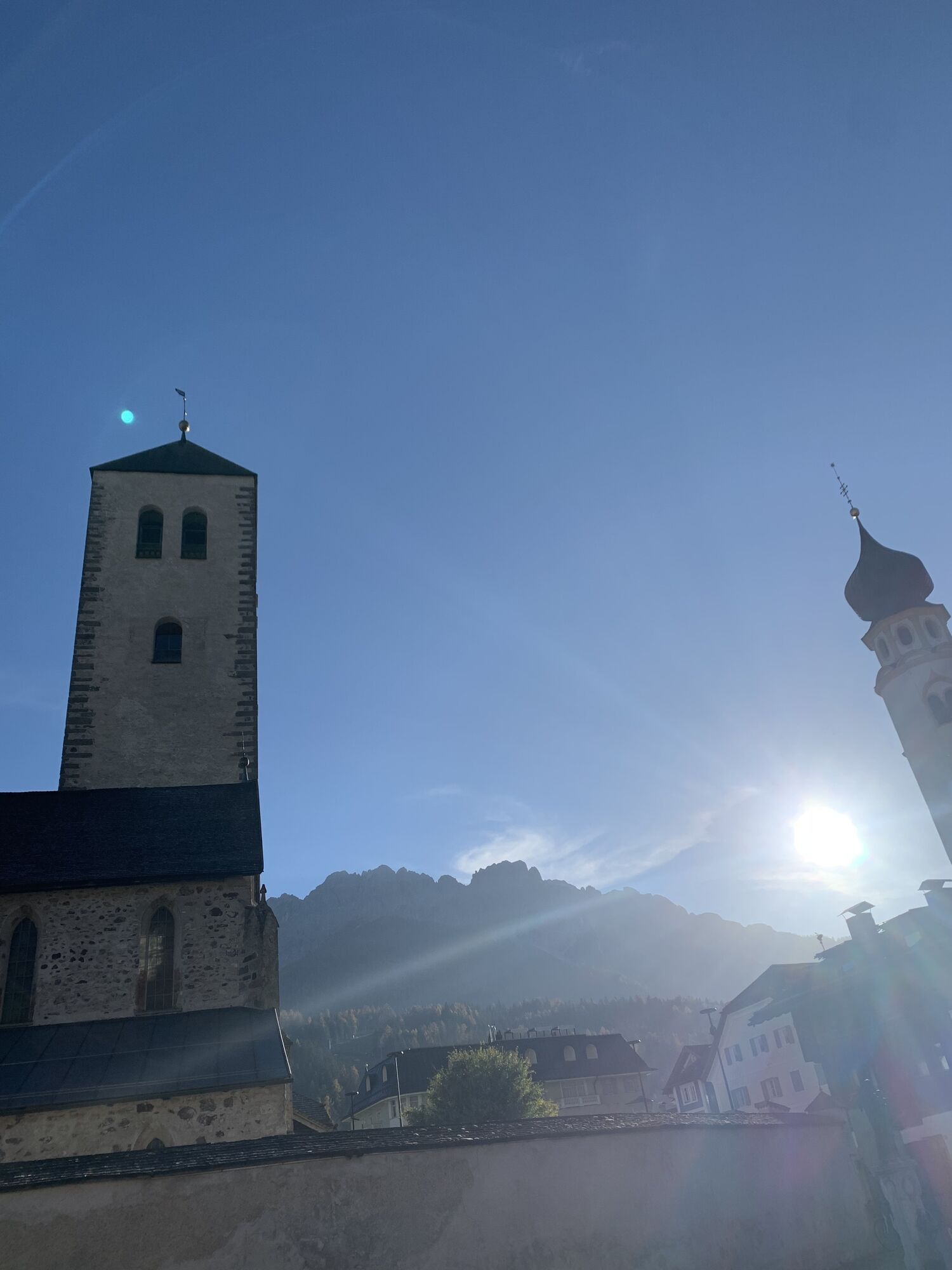
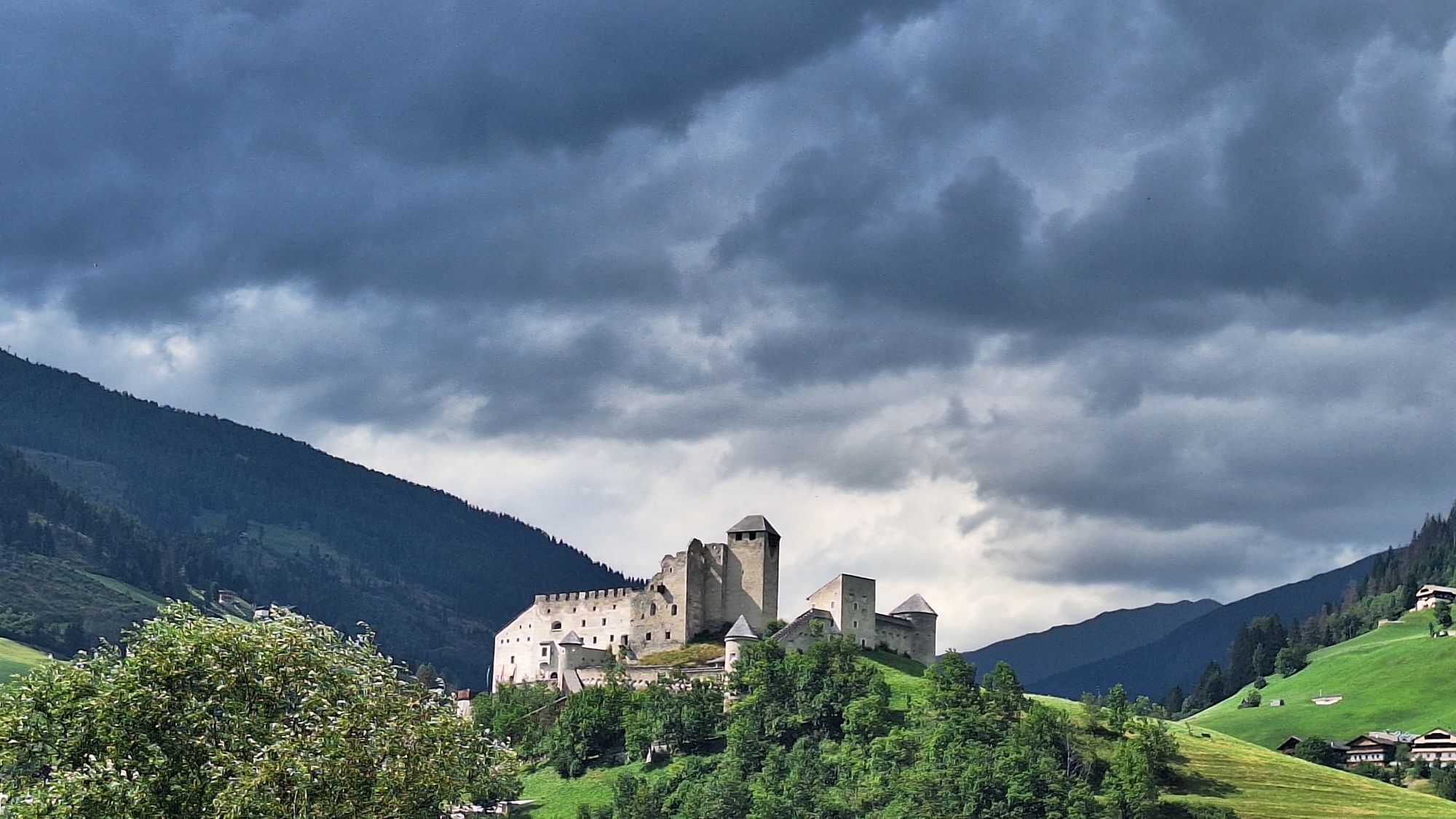
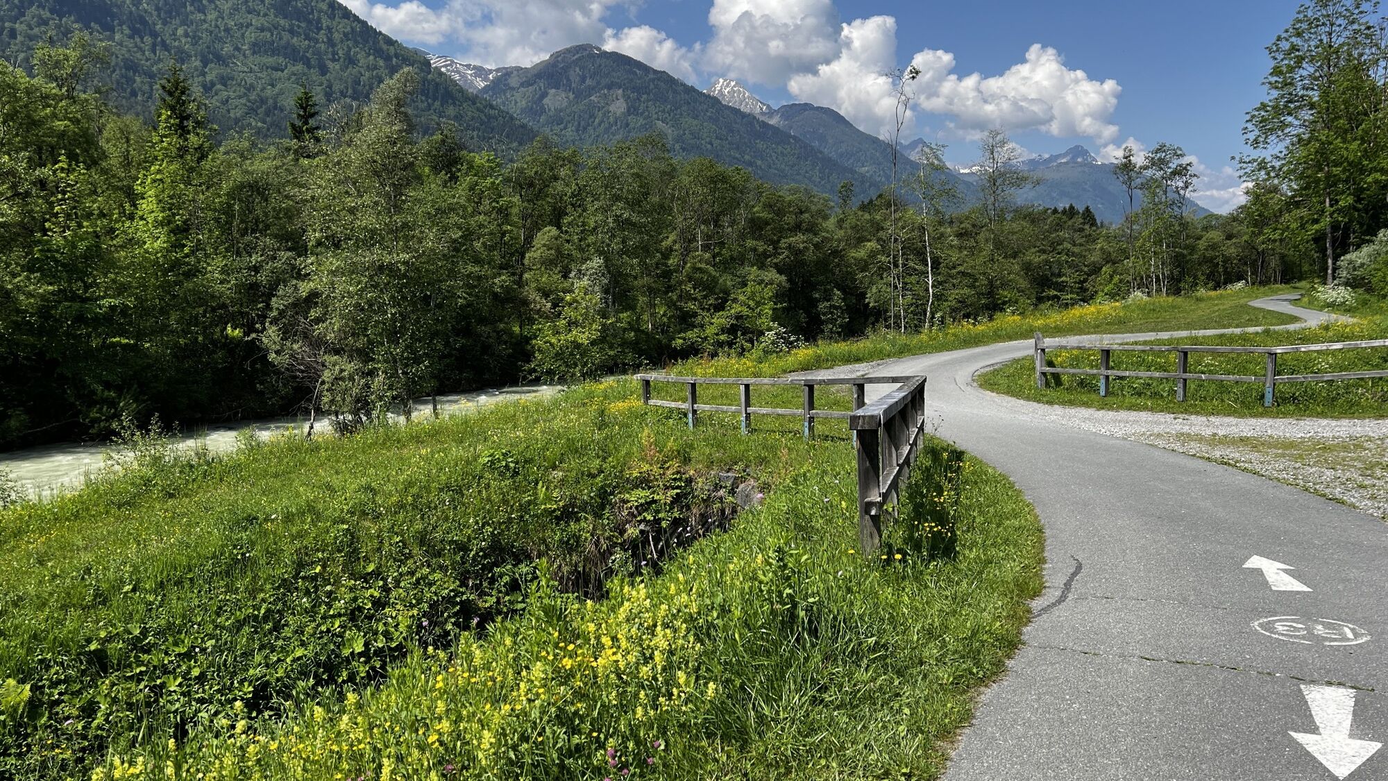
The KDS is a beautiful, romantic, almost exclusively quiet tourist excursion road with numerous viewpoints. It is 300 km long and can also be driven in sections thanks to the two north-south connections...
The KDS is a beautiful, romantic, almost exclusively quiet tourist excursion road with numerous viewpoints. It is 300 km long and can also be driven in sections thanks to the two north-south connections Nassfeld Pass and Plöcken Pass. The scenic beauties invite you to hike and climb. Many high and side valleys are accessible by car via mountain and alpine roads. Numerous alpine pastures are managed during the alpine season. Due to the friendly relations between Austria and Italy, the state border is no obstacle for hikers.
The inhabitants of the KDS have preserved folk customs and traditions for ages. The different eating habits offer gourmets culinary specialties in Carinthian, Tyrolean, and Italian style. The climate influenced by the Adriatic is mild and characterized by beautiful summers and snowy winters.


Helmet obligation!!!!!!!
Proper clothing: Adjust your clothing not only to the current weather conditions. Also pack warm clothing, a spare jersey, and rain protection in summer, especially in the pre- and post-season.
Emergency equipment: first aid kit, repair kit (spare tube, pump, tools), map, mobile phone and possibly GPS
WARNING: Reception is not guaranteed everywhere in the mountains!
Take enough to drink with you and plan a timely stop
Hermagor, Kötschach Mauthen
Arrival to Hermagor and Kötschach-Mauthen is possible by public transport.
www.nassfeld.at/mobilitaet
Parking spaces are available!
4

Webové kamery z prehliadky
-
Tempele
-
Aquarena
-
Tressdorfer Höhe
-
Hermagor - Presseggersee
-
Nassfeldpass
-
Frohn / Lesachtal
-
Dobratsch
-
Dobratsch
-
Helm-Plateau
-
Hermagor - Presseggersee
-
Tressdorfer Höhe
-
Tressdorfer Höhe
-
Toblach
-
Sexten/ Fischleintal
-
Sexten Waldheim
-
Innichen Stifts- und St.Michaelskirche
-
Toblach - Langlaufstadion / Hotel Santer
-
Birnbaum - Alpenhof Wolayersee
-
Sillianberg
-
Zoncolan - Baita Goles
-
Stiergarten / Drei Zinnen Dolomiten
-
Stiergarten / Drei Zinnen Dolomiten
-
Stiergarten / Drei Zinnen Dolomiten
-
Stiergarten / Drei Zinnen Dolomiten
-
Stiergarten / Drei Zinnen Dolomiten
-
Innichen - Il Tyrol****s
-
Bergstation Gondelbahn Sillian
-
Bergstation Ausservillgraten
-
Nassfeld - Sonnleitn
-
Sillian
-
Kötschach-Mauthen - Alpencamp Kärnten
-
Monte Lussari
-
Monte Lussari
-
Monte Lussari
-
Monte Lussari
-
Monte Lussari
-
Hollbruck
-
Dobratsch
-
Obertilliach
-
Bergstation 6er-Sesselbahn
Získajte prehľad
Vždy naživo na mieste s viac ako 9 500 webovými kamerami. bergfex Ako používateľ Pro si teraz môžete pozrieť príslušné webové kamery pre mnohé zájazdy v aplikácii zájazdy z. Môžete si tak priamo prezerať aktuálne podmienky.
Obľúbené výlety v okolí
-
4,5
Karnischer Höhenweg – Etappe 4: Hochweißsteinhaus – Wolayersee Hütte
ťažkédiaľková pešia trasa 15,9 km -
5,0
Porzehütte (1.942 m)
svetloTuristika 9,01 km -
5,0
Carnic altitude trail. Stage 4: Porzehütte – Hochweißsteinhaus
ťažkéTuristika 17,5 km -
4,5
Porze (2.589 m)
ťažkéTuristika 9 km -
5,0
Karnischer Höhenweg – Etappe 2: Obstansersee Hütte – Porzehütte
ťažkédiaľková pešia trasa 12,0 km -
3,8
Karnischer Höhenweg KHW 403 - "Weg des Friedens"
strednáTuristika 46,7 km -
4,0
Hoher Bösring (2.324 m)
strednáTuristika 9,70 km -
4,5
Spitzköfele (2.314 m)
strednáTuristika 3,90 km -
2,0
Porzehütte/Tilliacher Joch am Karnischen Kamm
strednáMountainbike 8,99 km -
5,0
Obertilliach - Leitner Tal und Standschützenhütte
Turistika 16,6 km
Turistika a stopovanie


Nenechajte si ujsť ponuky a inšpiráciu na ďalšiu dovolenku
Vaša e-mailová adresa bol pridaný do poštového zoznamu.





