


From Lake Ossiach to Gerlitzen Alpe
Úroveň náročnosti: 3


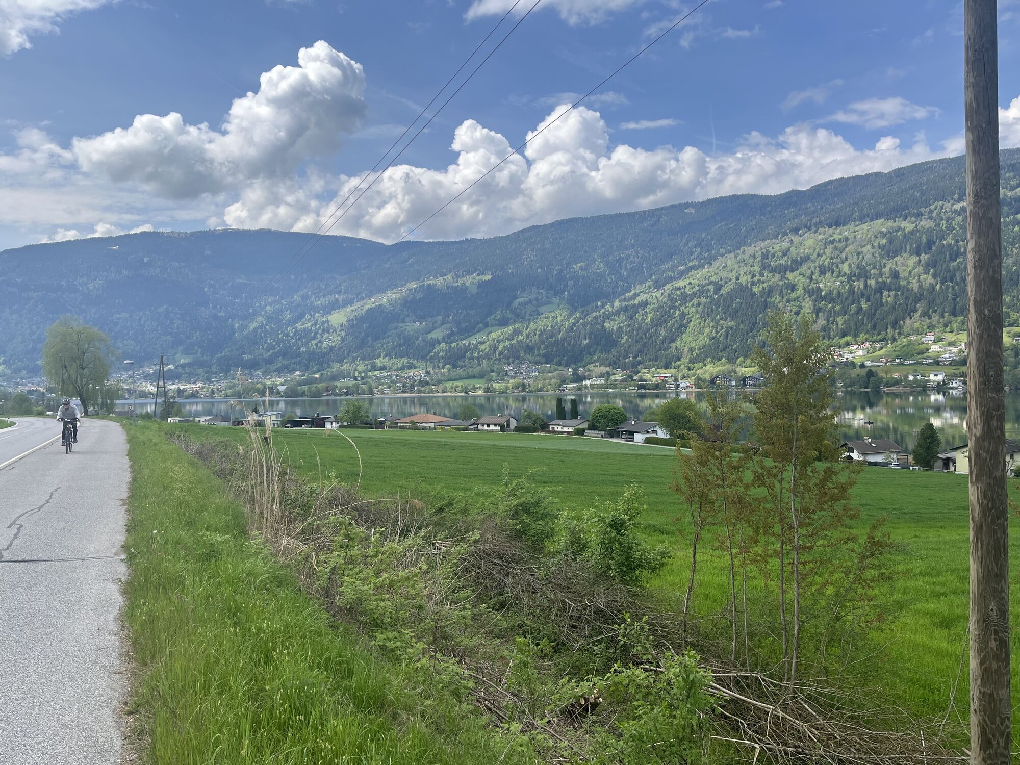
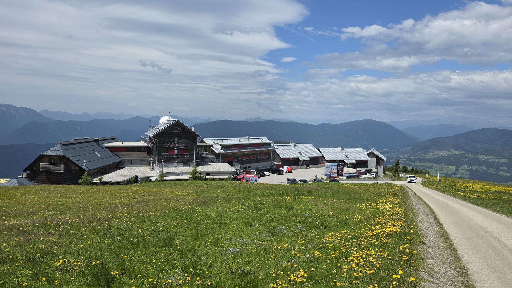
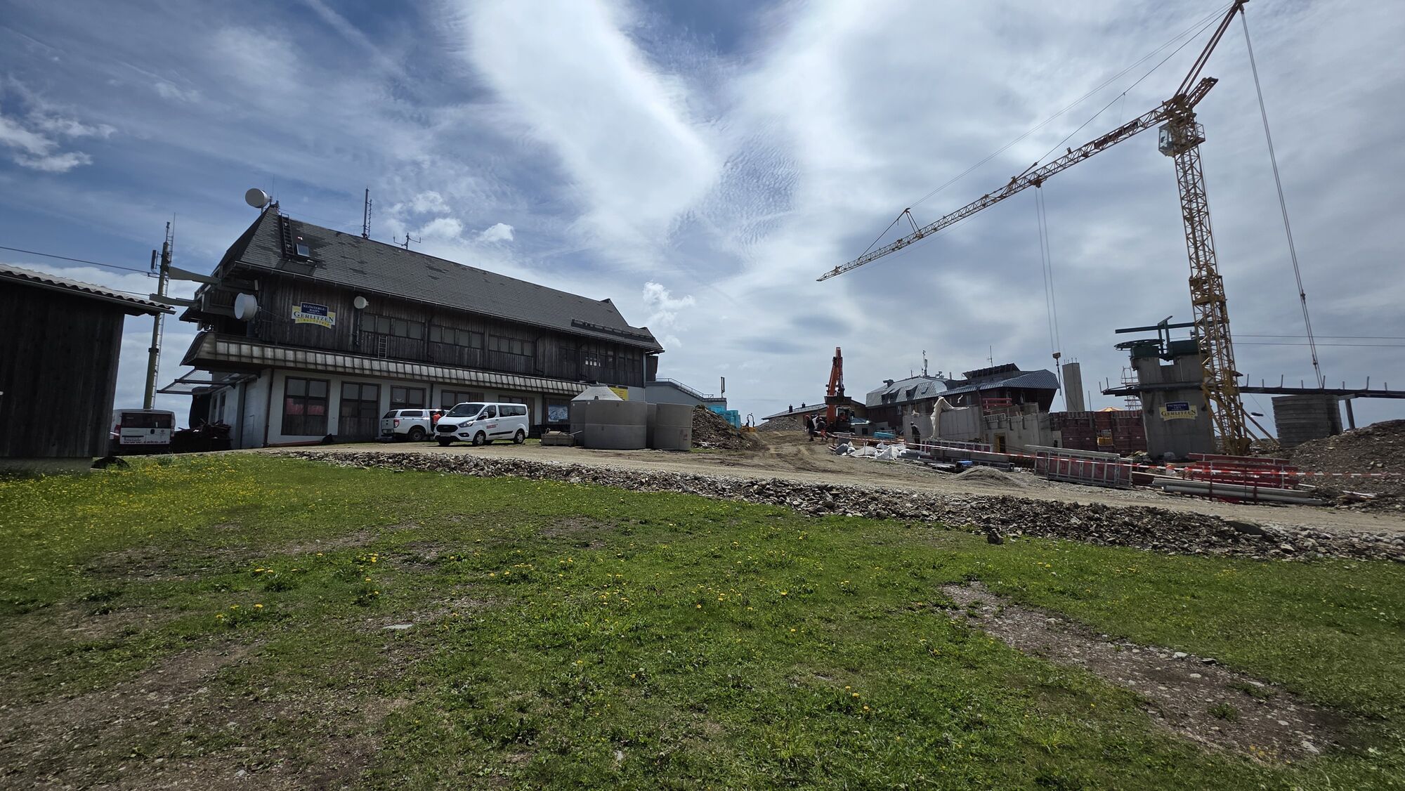
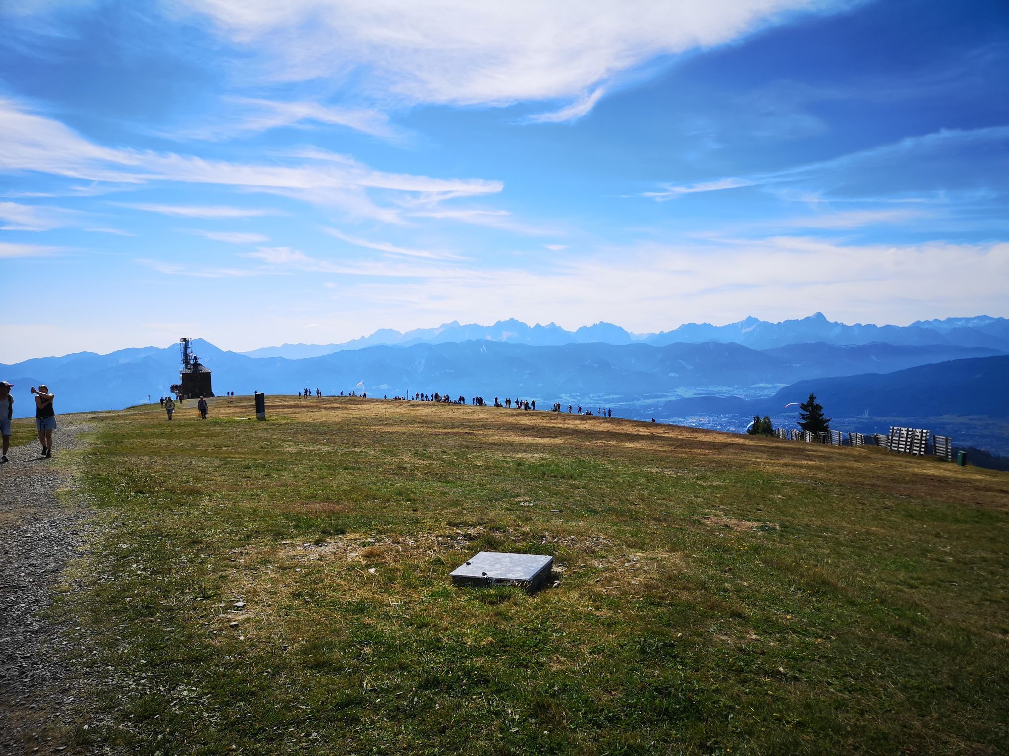
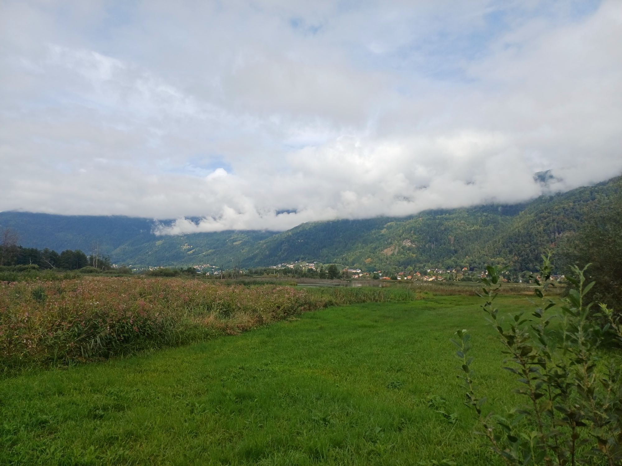
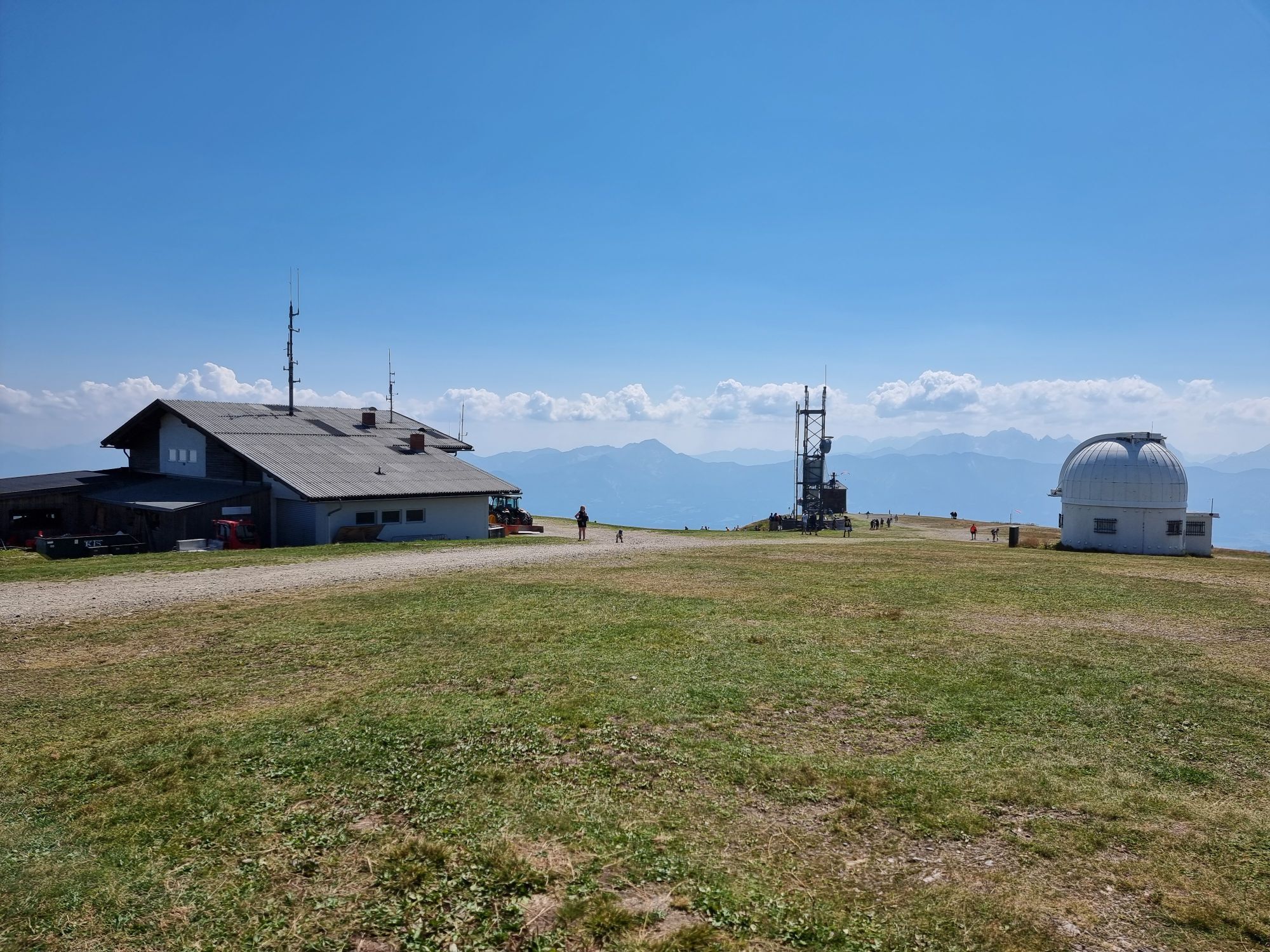
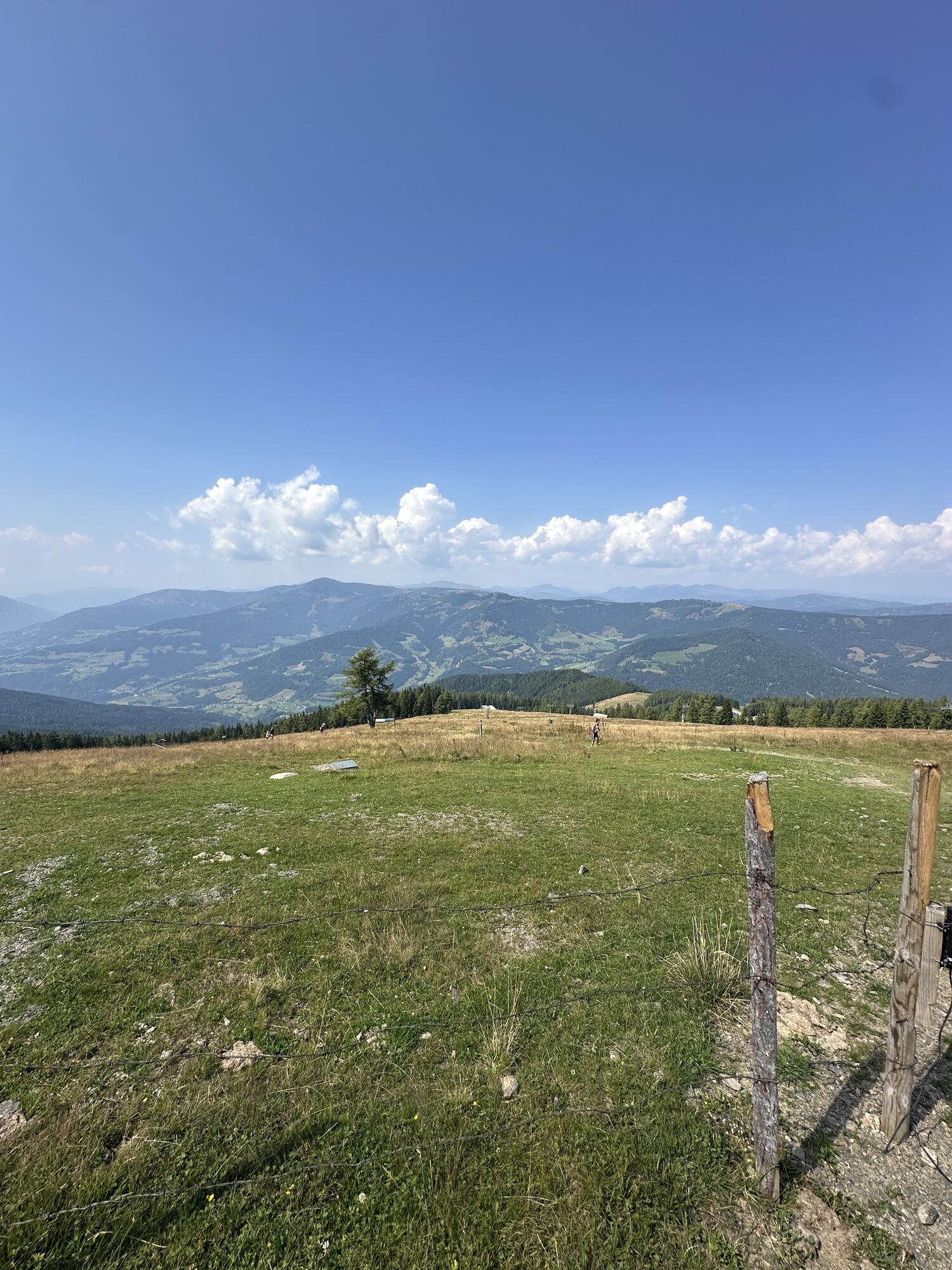

The scenic road cycling route in the heart of Carinthia leads road cycling fans from Lake Ossiach up to Gerlitzen Alpe (1911 m) and then directly around Lake Ossiach.
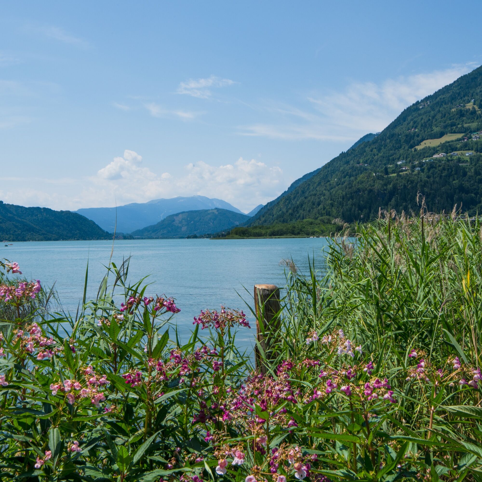
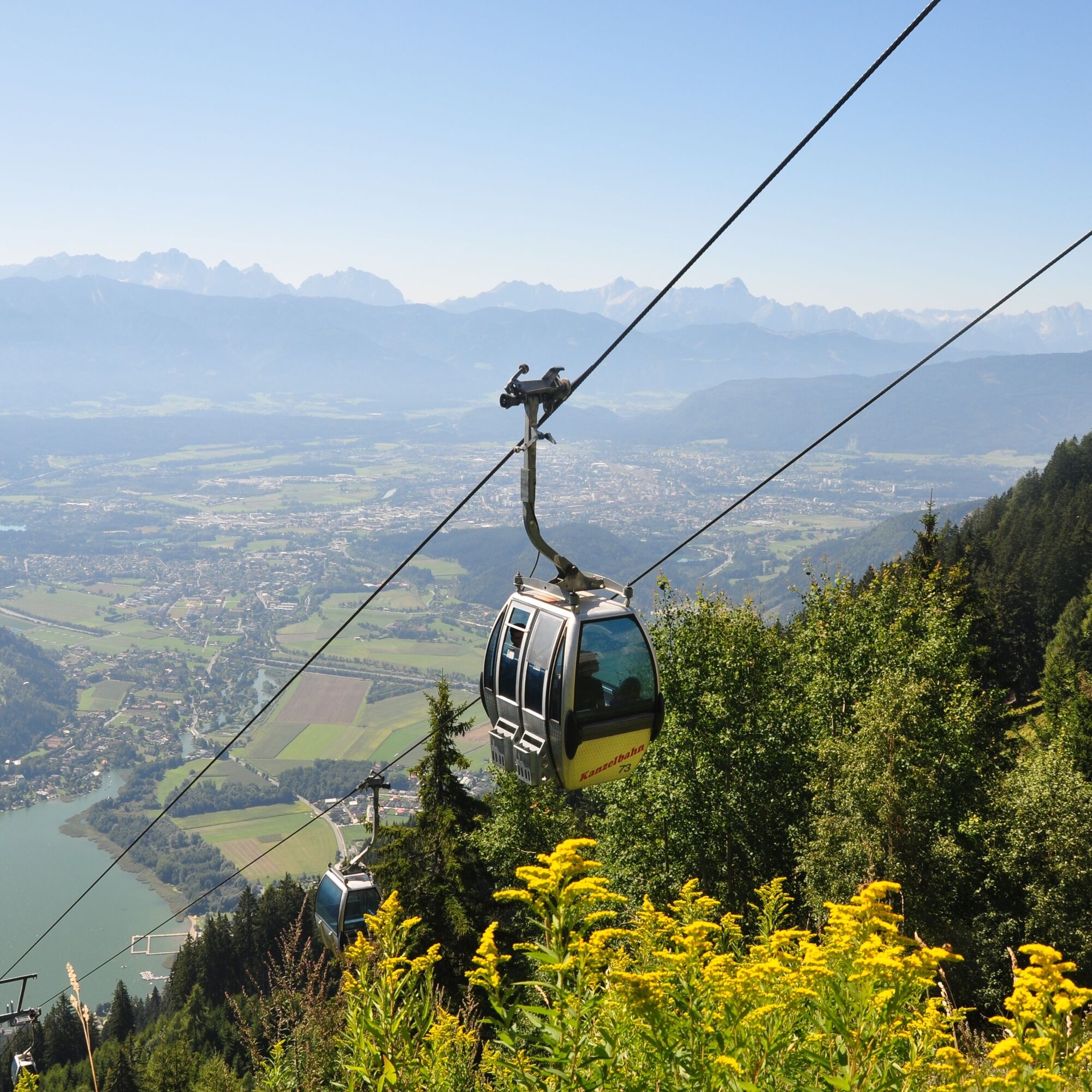
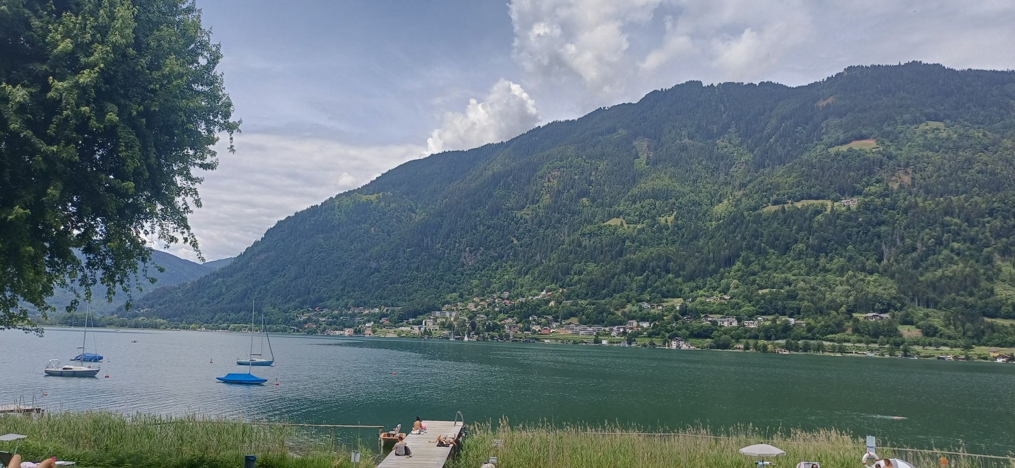
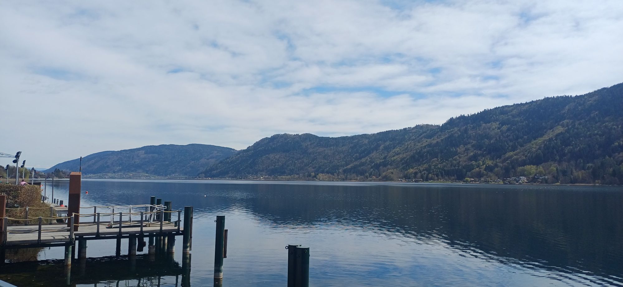
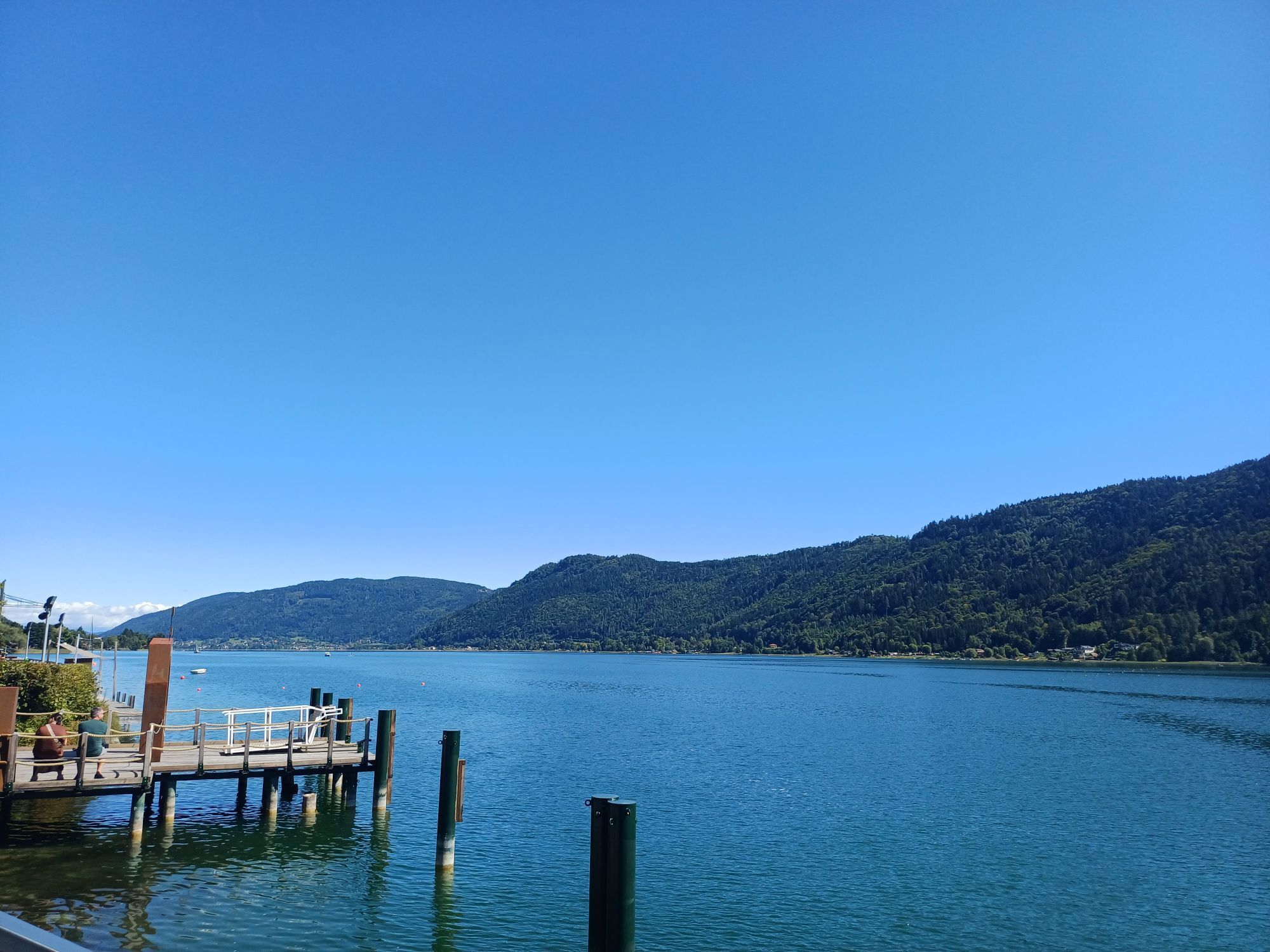
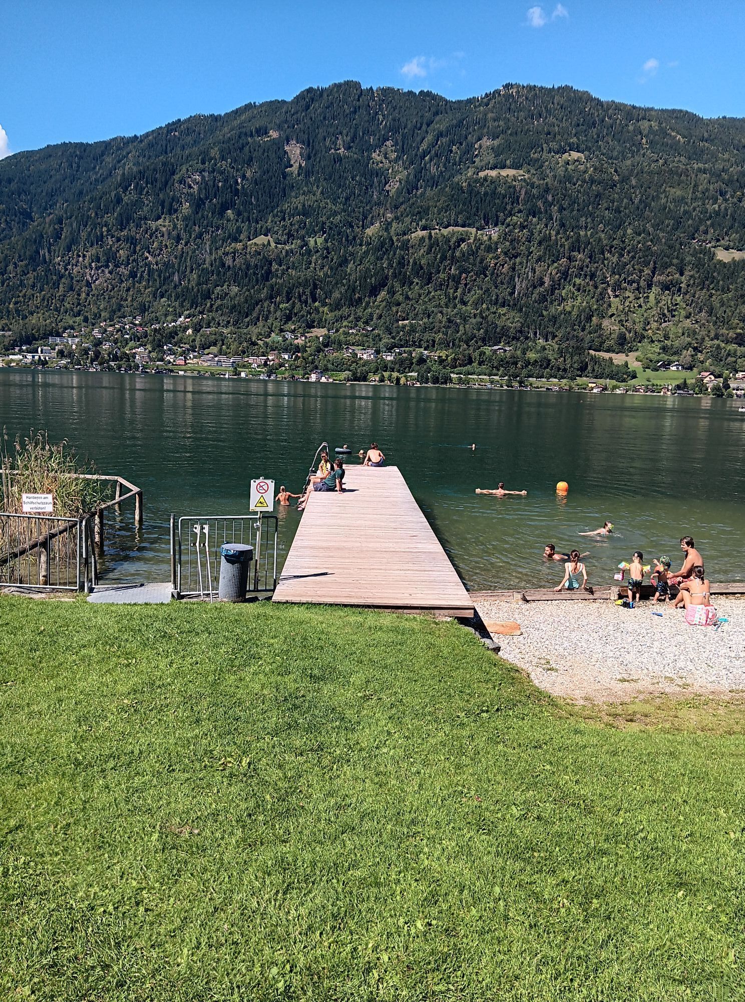
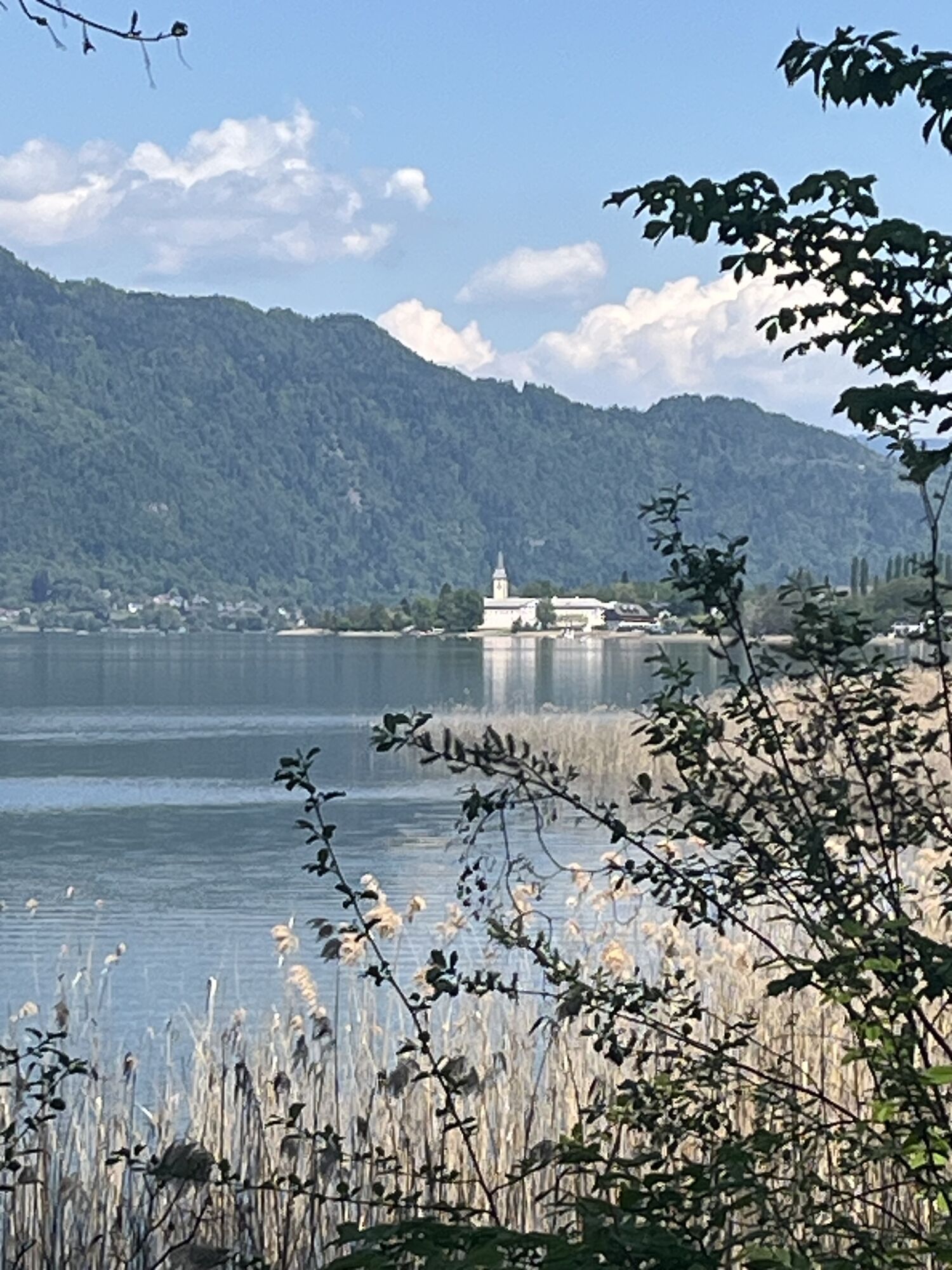
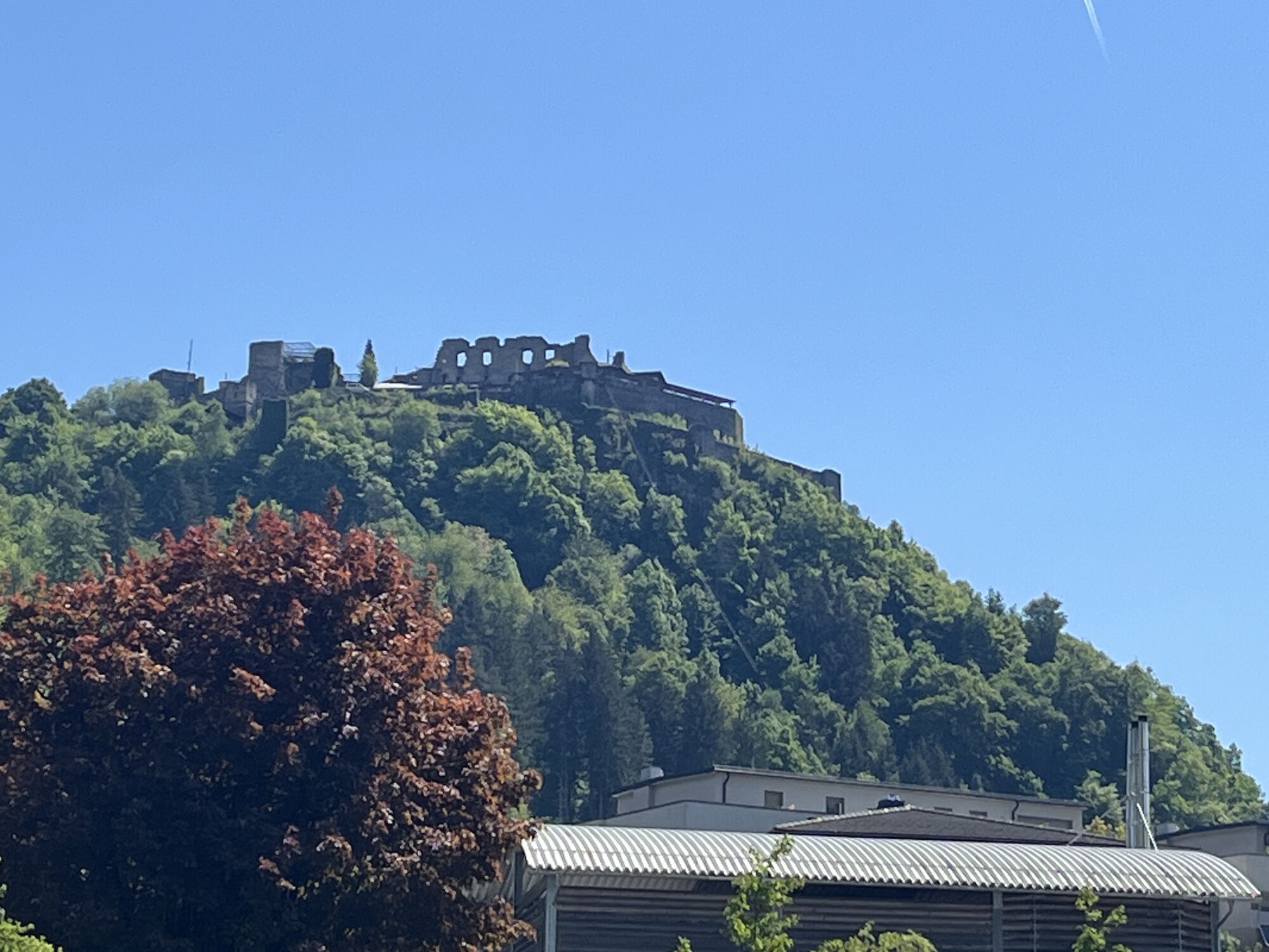
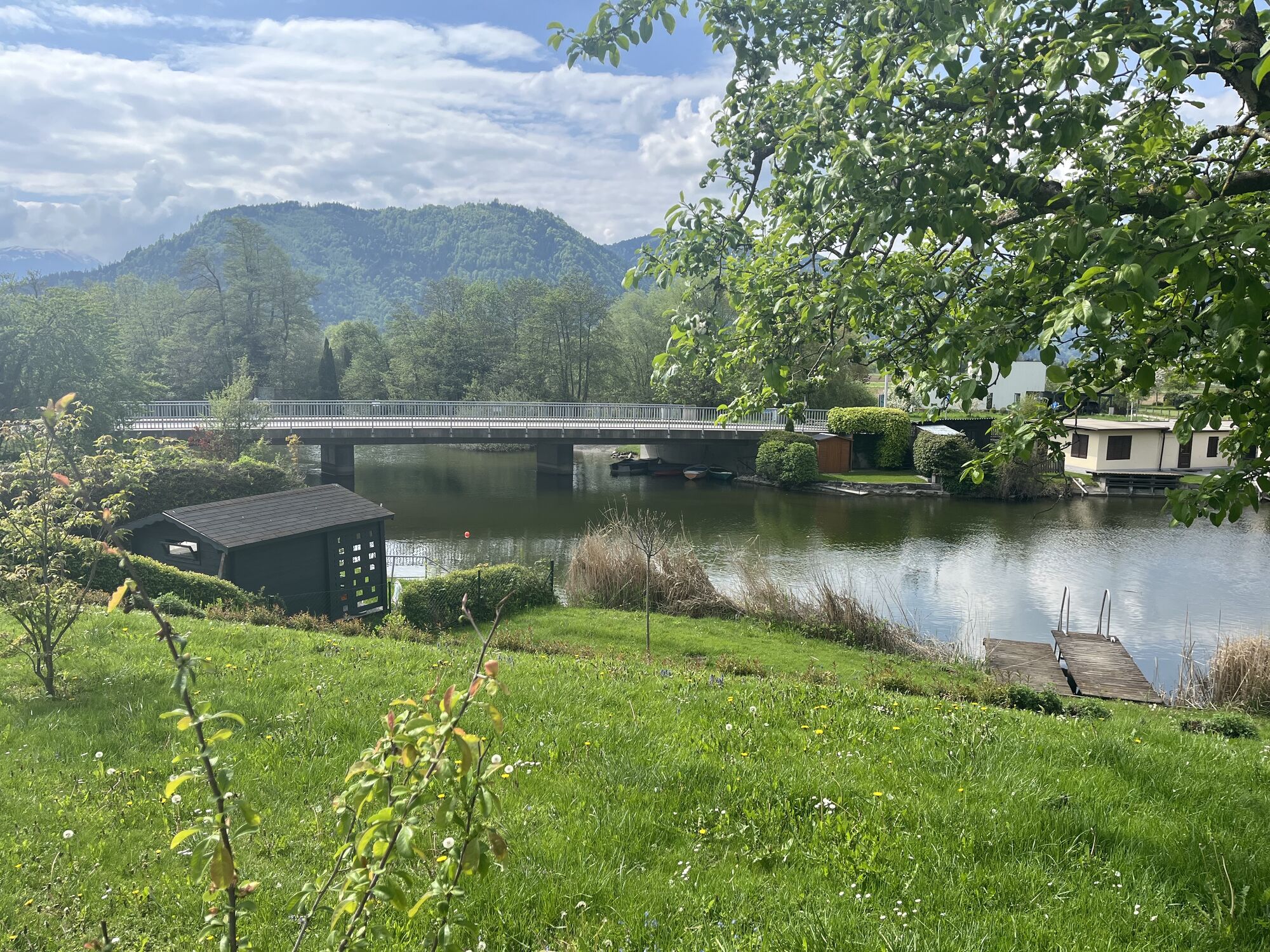
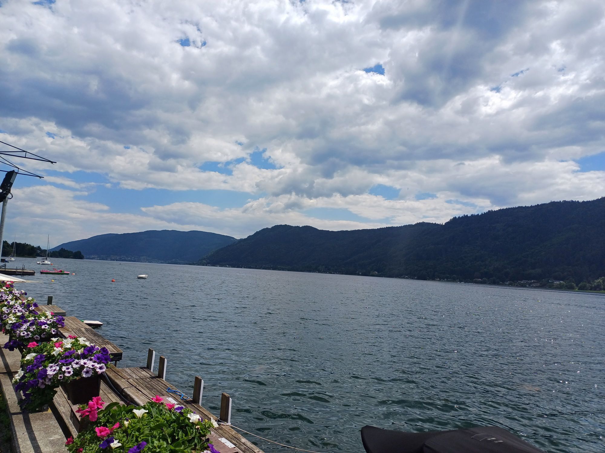
The starting point of the route is the Gerlitzen Kanzelbahn in Annenheim. From here, you head west until you reach the Billa. Here you turn right and follow the side road into the village of Treffen am Ossiacher See. Through the village, follow the federal road until the junction Köttwein / Mushroom Museum / Hinterbuchholz. Here you turn right and follow the side road up to Hinterbuchholz. From there, you head towards Arriach down to the federal road. At that point, turn right and follow the road to the toll road junction to Gerlitzen Alpe. This turns off to the right and leads directly to the summit of Gerlitzen Alpe, from where you can enjoy a wonderful view over all of Carinthia. The descent is on the same road. Please descend slowly and carefully and watch out for oncoming cars. In the valley, turn right on the main road towards Klösterle/ Himmelberg. Follow this road to Himmelberg. At the village exit, the road goes up briefly and along the forest to an inconspicuous junction at the end of the straight in a left curve. Here, it goes up to the right. Follow this road to Schleichenfeld. From here, continue to Nadling and Tiffen until you merge again onto the main road. Follow this to the right to the Ossiach junction. Here, cross a railway crossing directly to the south shore of Lake Ossiach and after a long straight, turn right towards Ossiach. Now follow the entire south shore of Lake Ossiach to Robinson Club Landskron, where the cycle path branches off slightly to the right directly at the pedestrian crossing. Follow this through a few narrow spots until the main road, where you turn right and follow the road back to the starting point at the Gerlitzen Kanzelbahn.
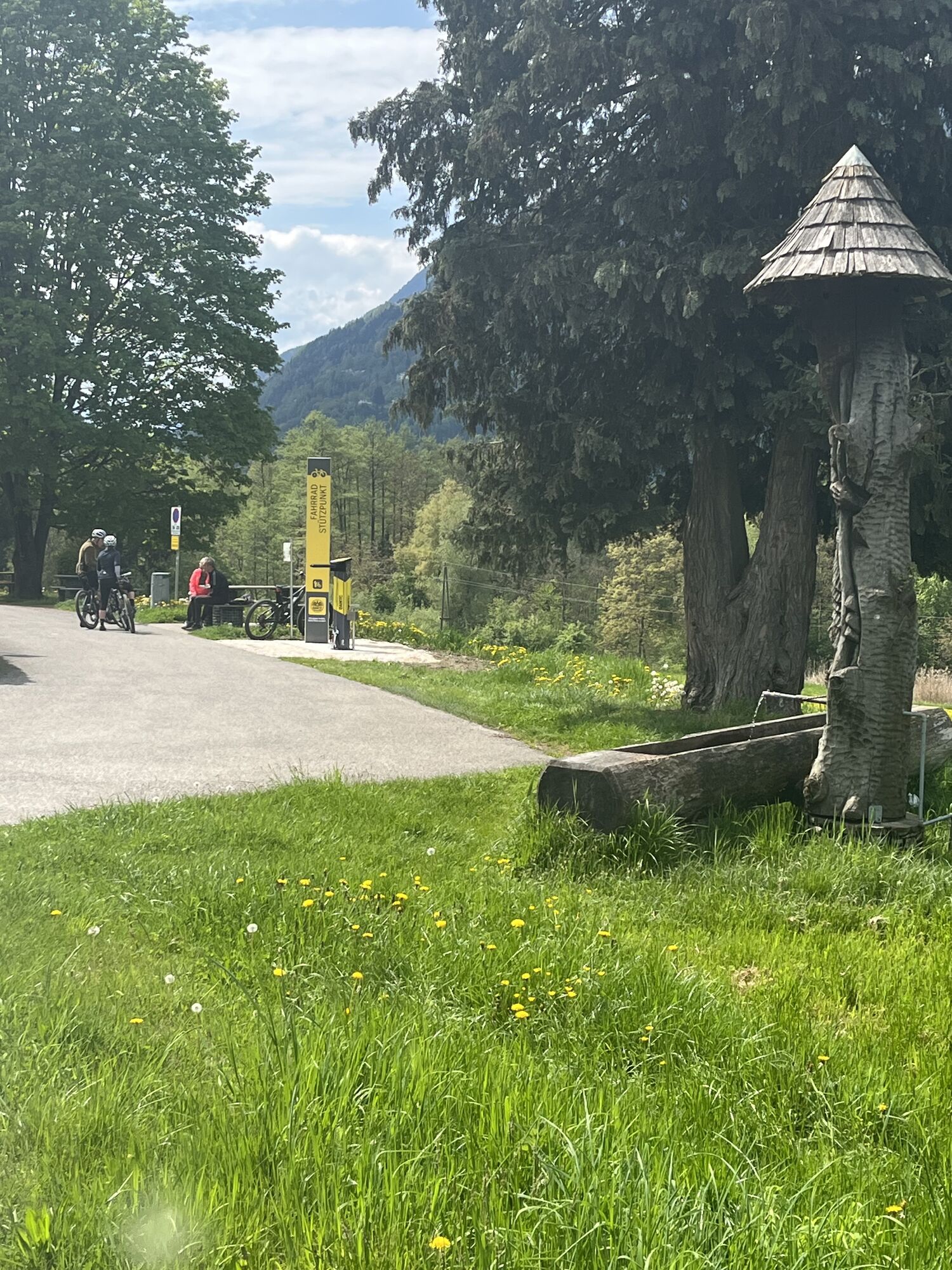
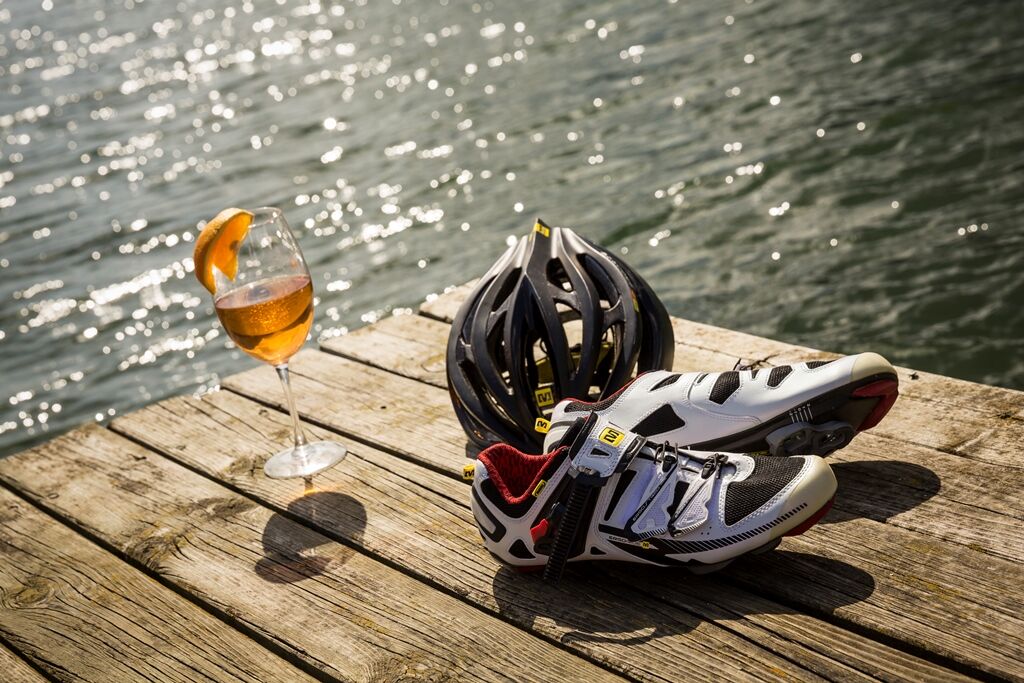
Road bike, protective gear, water, money & camera
Take the "Villach - Ossiacher See" exit on the A10 and follow the road towards Annenheim.
The Gerlitzen Kanzelbahn can be reached by the ÖBB S2 line.
3
Region Villach Tourism
+43 4242 42000
www.visitvillach.at
Webové kamery z prehliadky
-
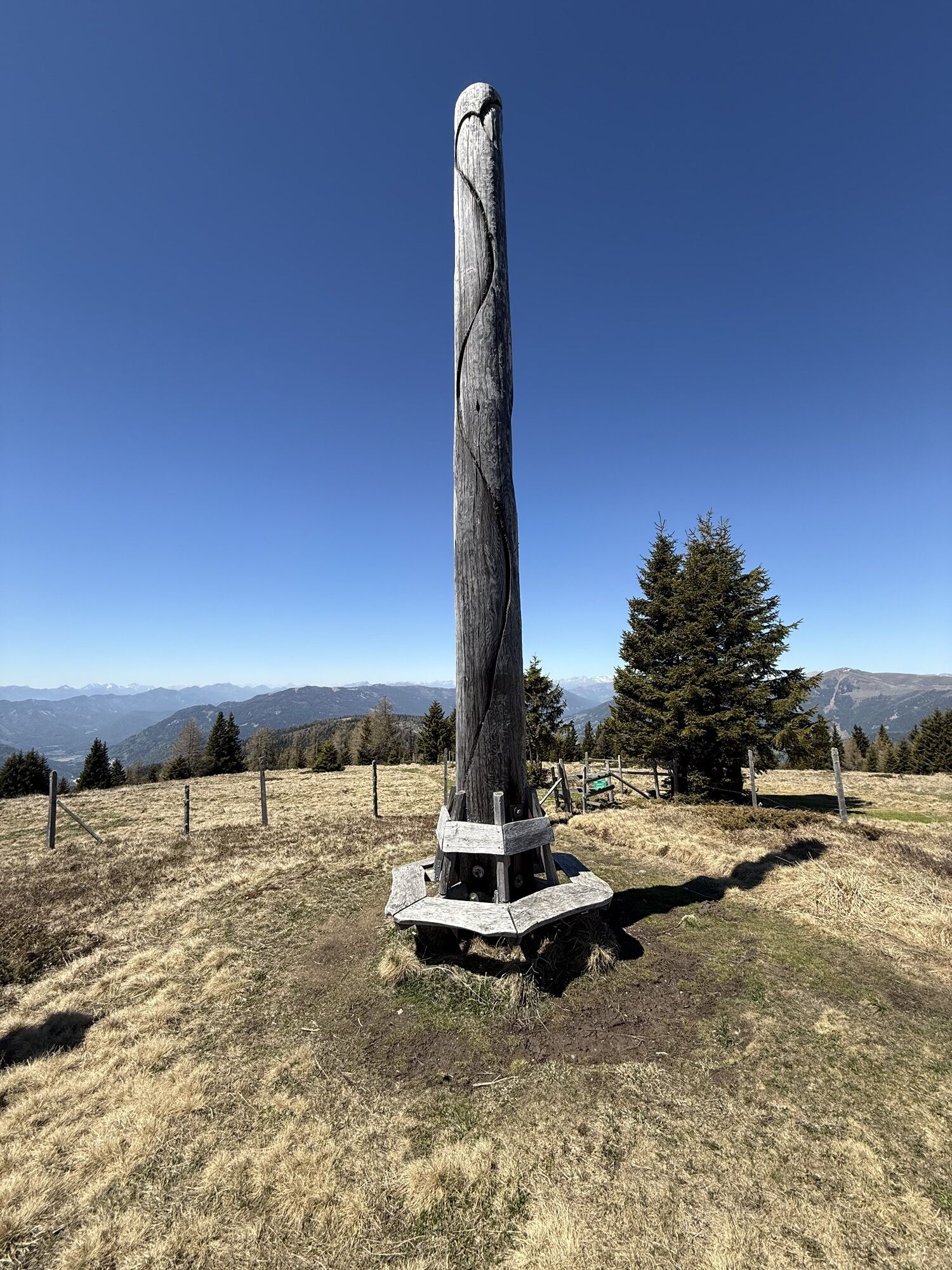
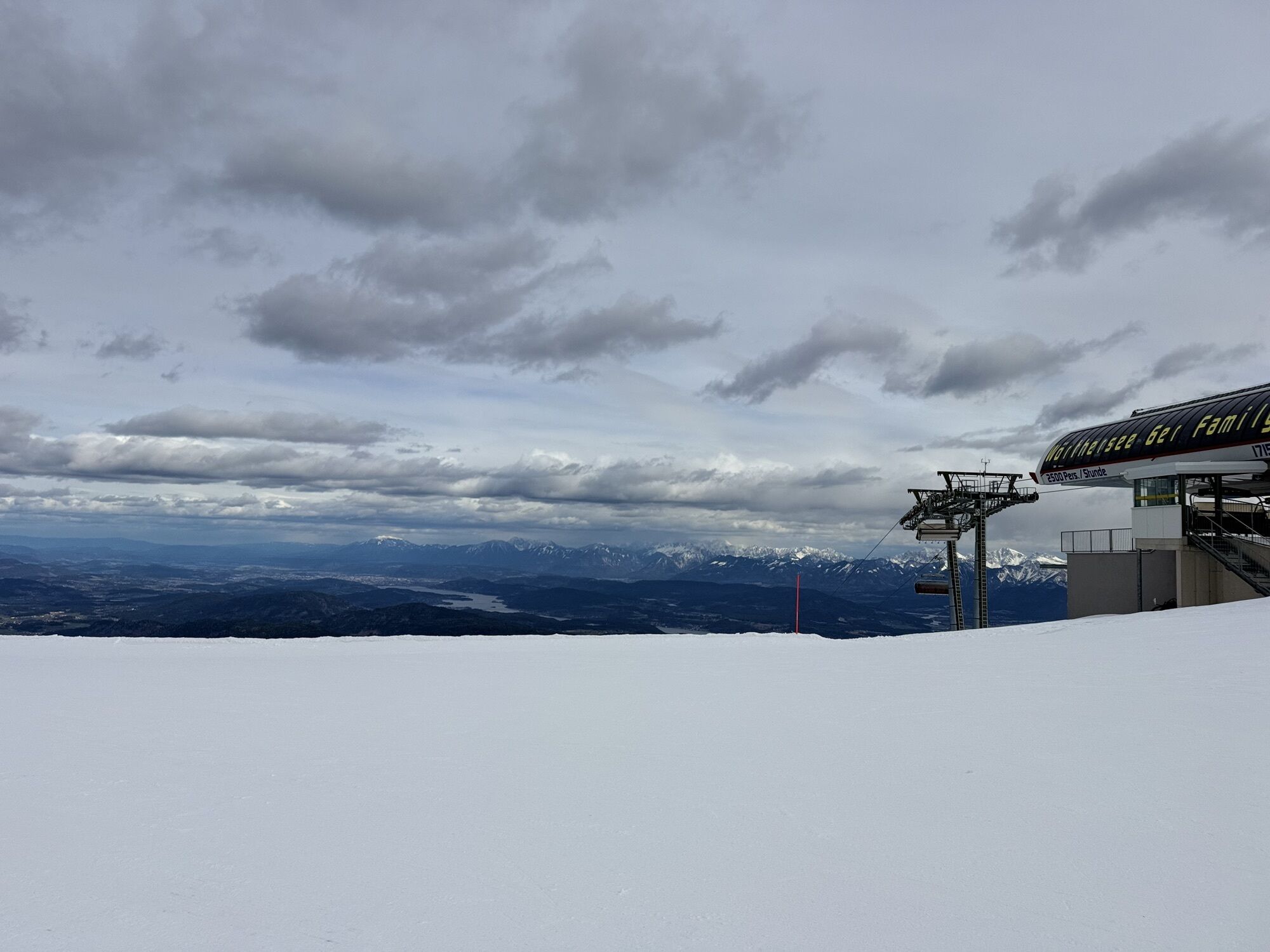
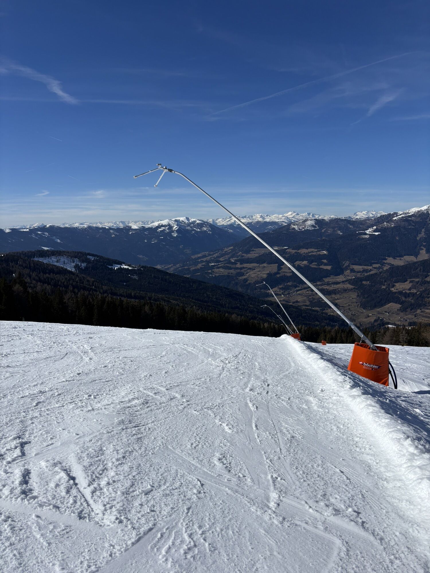
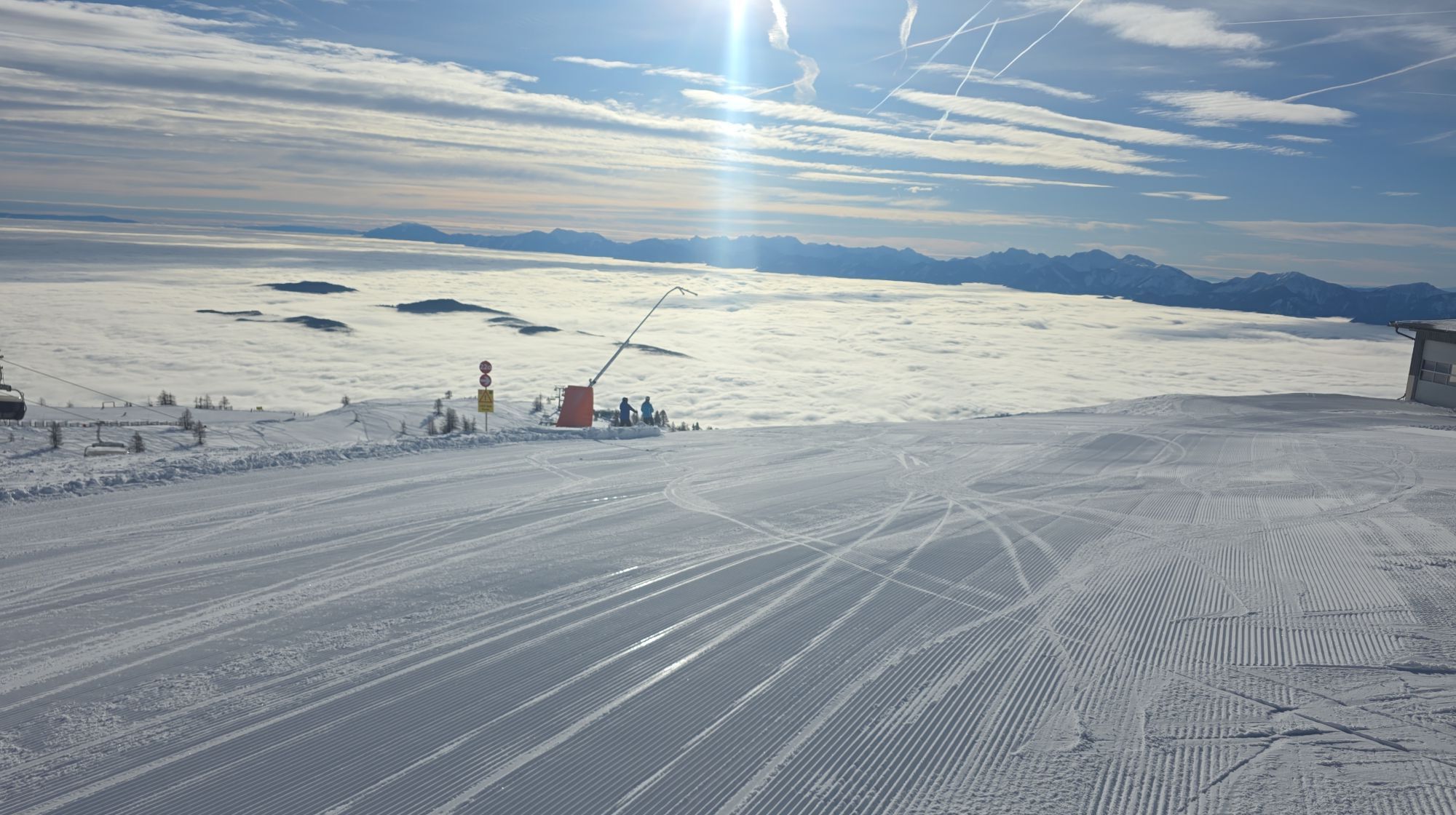
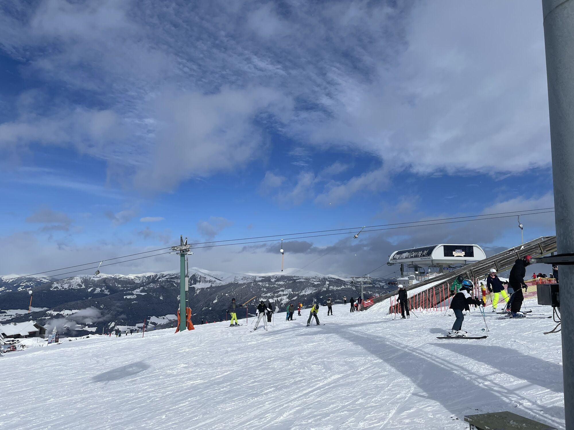
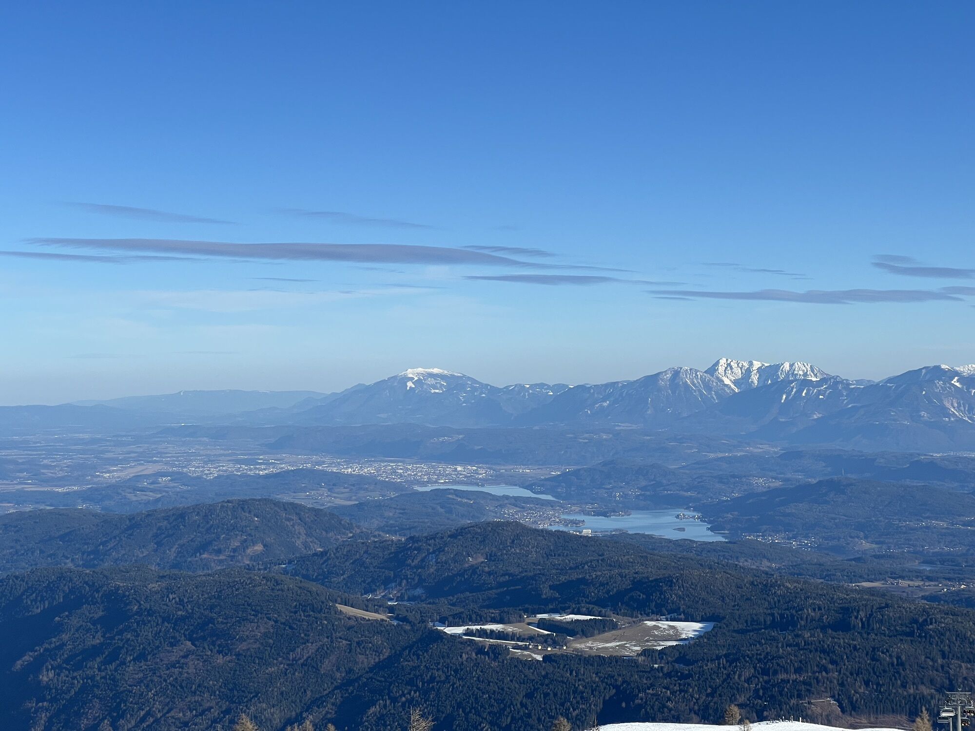
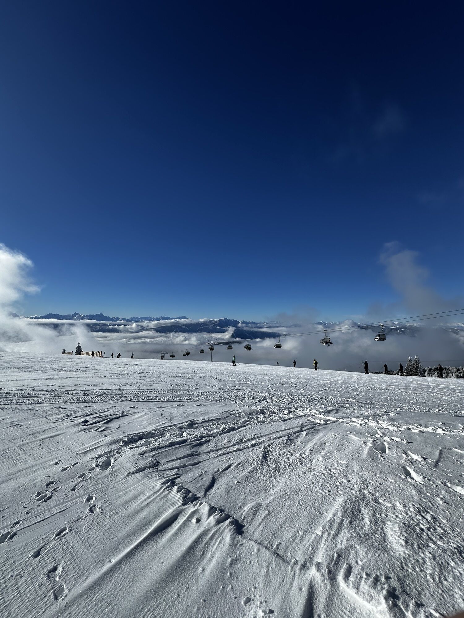
Gerlitzen Gipfel
-
Gerlitzen Gipfel
-
Gerlitzen Gipfel
-
Gerlitzen Gipfel
-
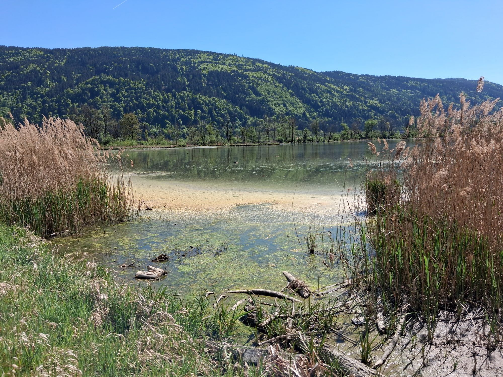
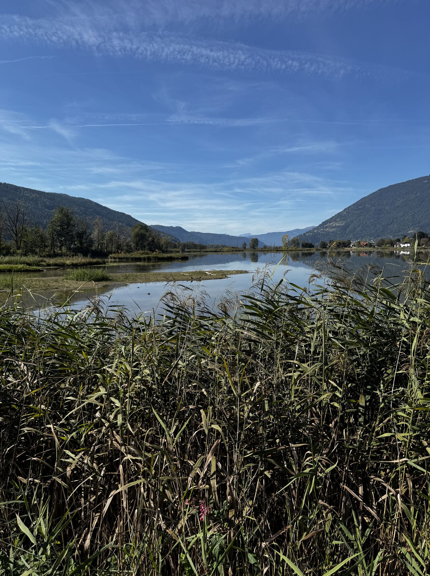
Ossiach/Ossiachersee
-
Ossiach/Ossiachersee
-
Ossiach/Ossiachersee
-
Ossiach/Ossiachersee
-
Ossiach/Ossiachersee
-
Ossiach/Ossiachersee
-
Annenheim/Ossiacher See
-
Landskron
-
Villach - Friedensbrücke
-
Gerlitzen Gipfel
-
Neugarten Speed
-
Flugfeld Feldkirchen
-
Villach
-
Hotel SeeRose
-
Golf Velden am Wörthersee
-
Gnesau
-
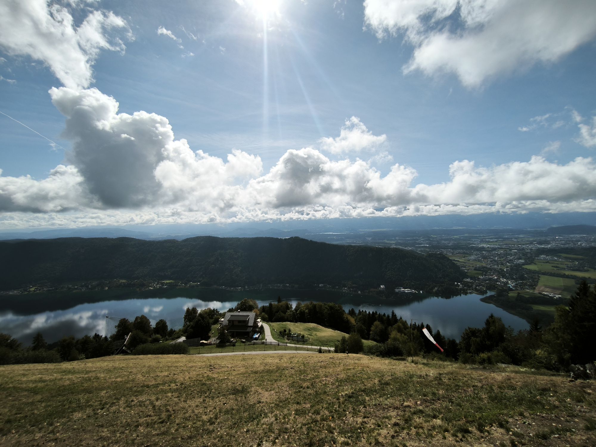
Ossiacherberg
-
Bodensdorf am Ossiacher See
-
Bodensdorf am Ossiacher See
Obľúbené výlety v okolí
-
4,7
4 Huts route
strednáTuristika 8,96 km -
4,4
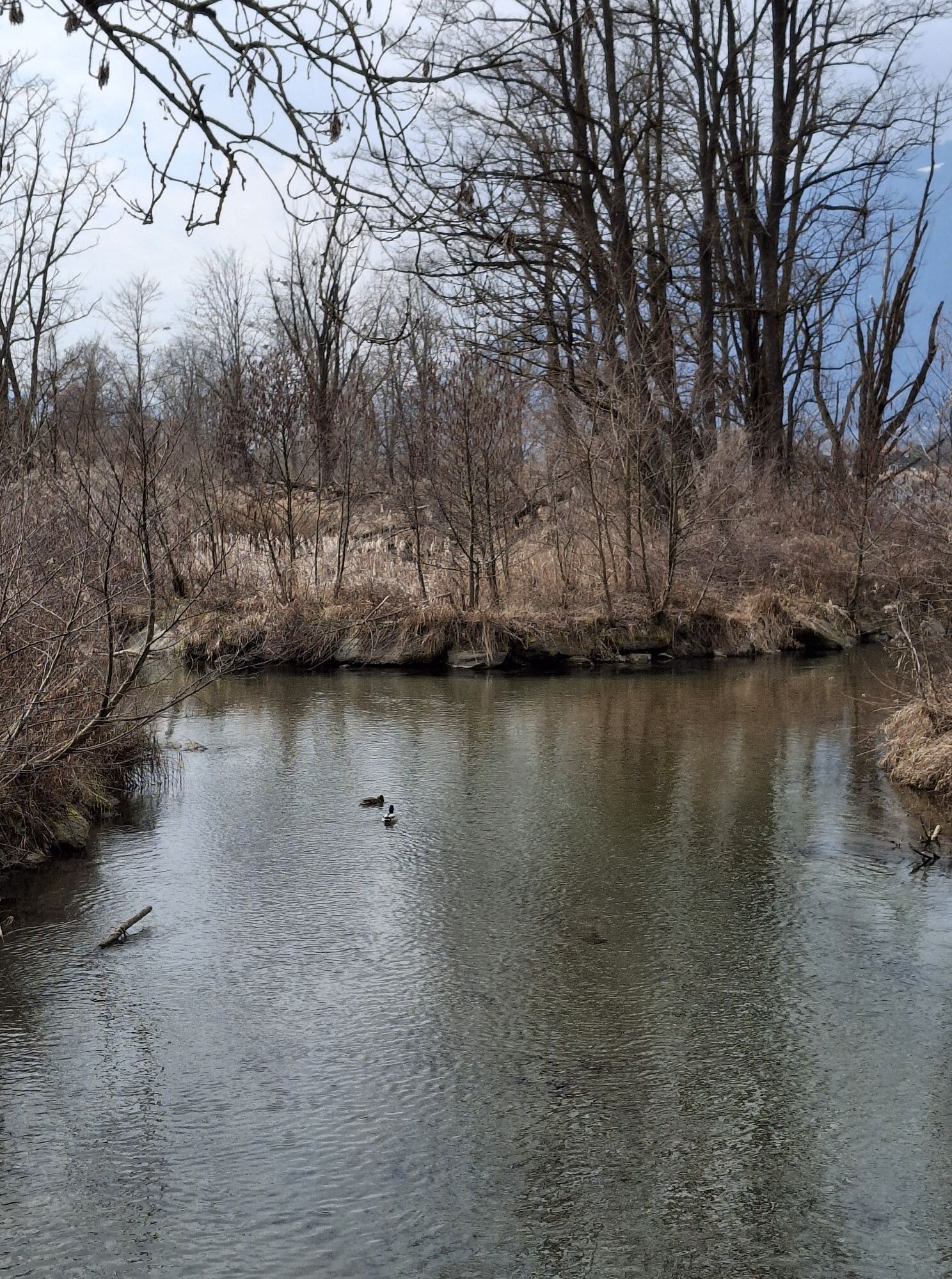
Finsterbach Waterfalls - Circular route
strednáTuristika 3,87 km -
4,5
Lake circular trail
svetloNordic Walking 9,85 km -
4,7
Hoher Gallin route
strednáTuristika 7,09 km -
4,1
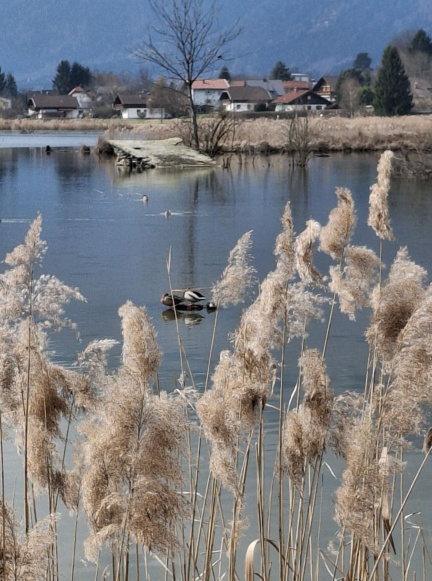
Slow Trail Bleistätter Moor (Variant A)
svetloTuristika 7,22 km -
5,0
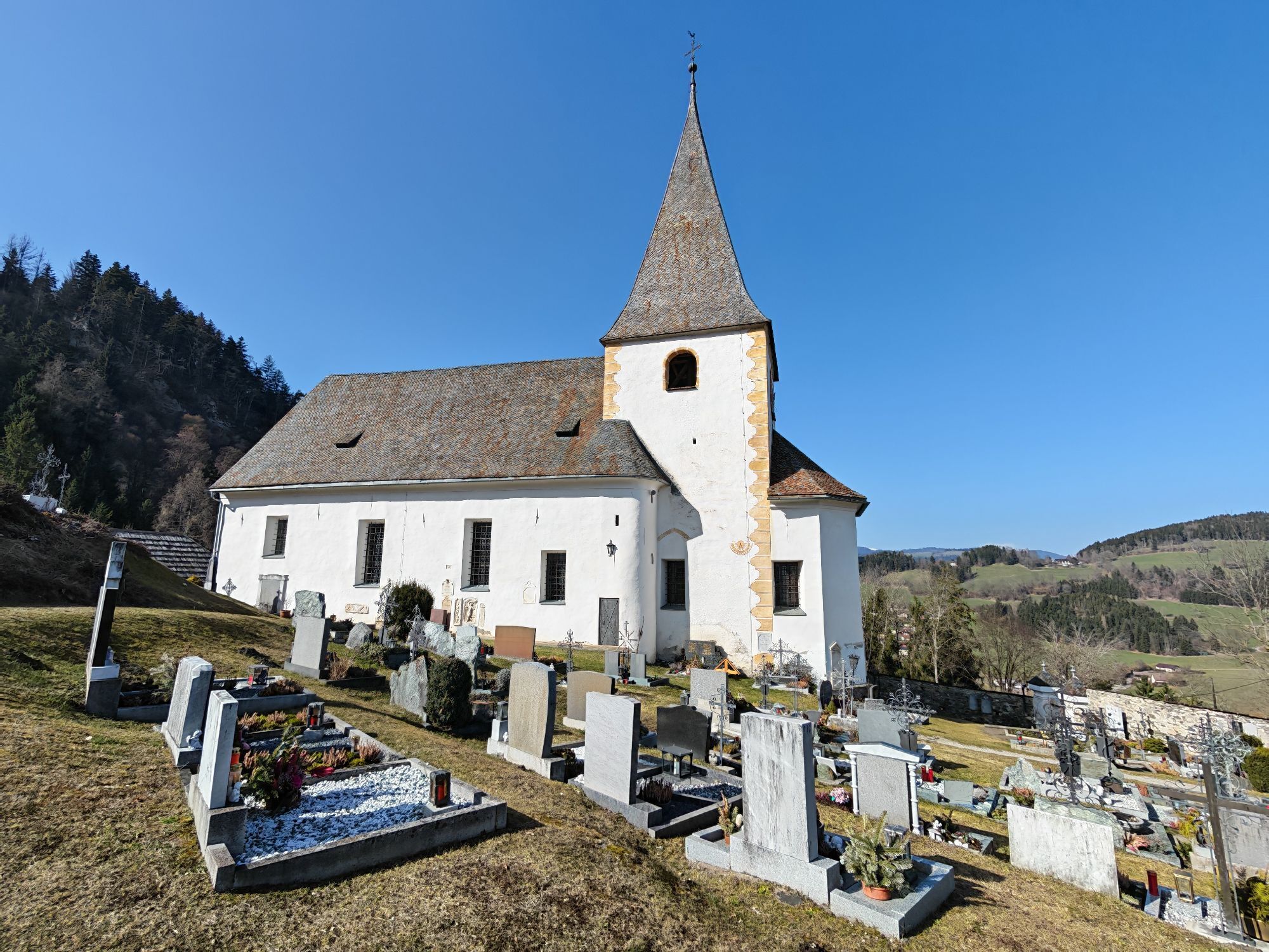
Amberg: Palnock 1901m, Schwarzsee, Rundstrecke
strednáTuristika 7,94 km -
4,0
Schwarzsee circular hiking trail
strednáTuristika 7,79 km -
4,9
Skitour: FIS K70, Auf Franz Klammers Spuren
strednáSkitour 11,3 km -
3,9
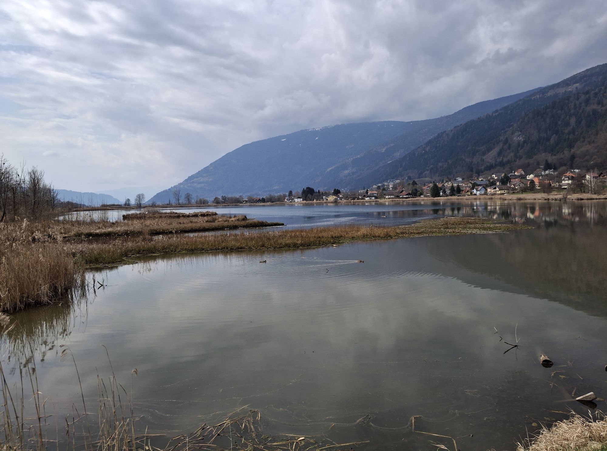
Lake Ossiacher See cycle path – R2 & R2A
strednáCyklistika 28,2 km -
3,8
Forstsee Route
svetloTuristika 4,26 km
Turistika a stopovanie


Nenechajte si ujsť ponuky a inšpiráciu na ďalšiu dovolenku
Vaša e-mailová adresa bol pridaný do poštového zoznamu.