







Snowshoe hike to the Lackenalm

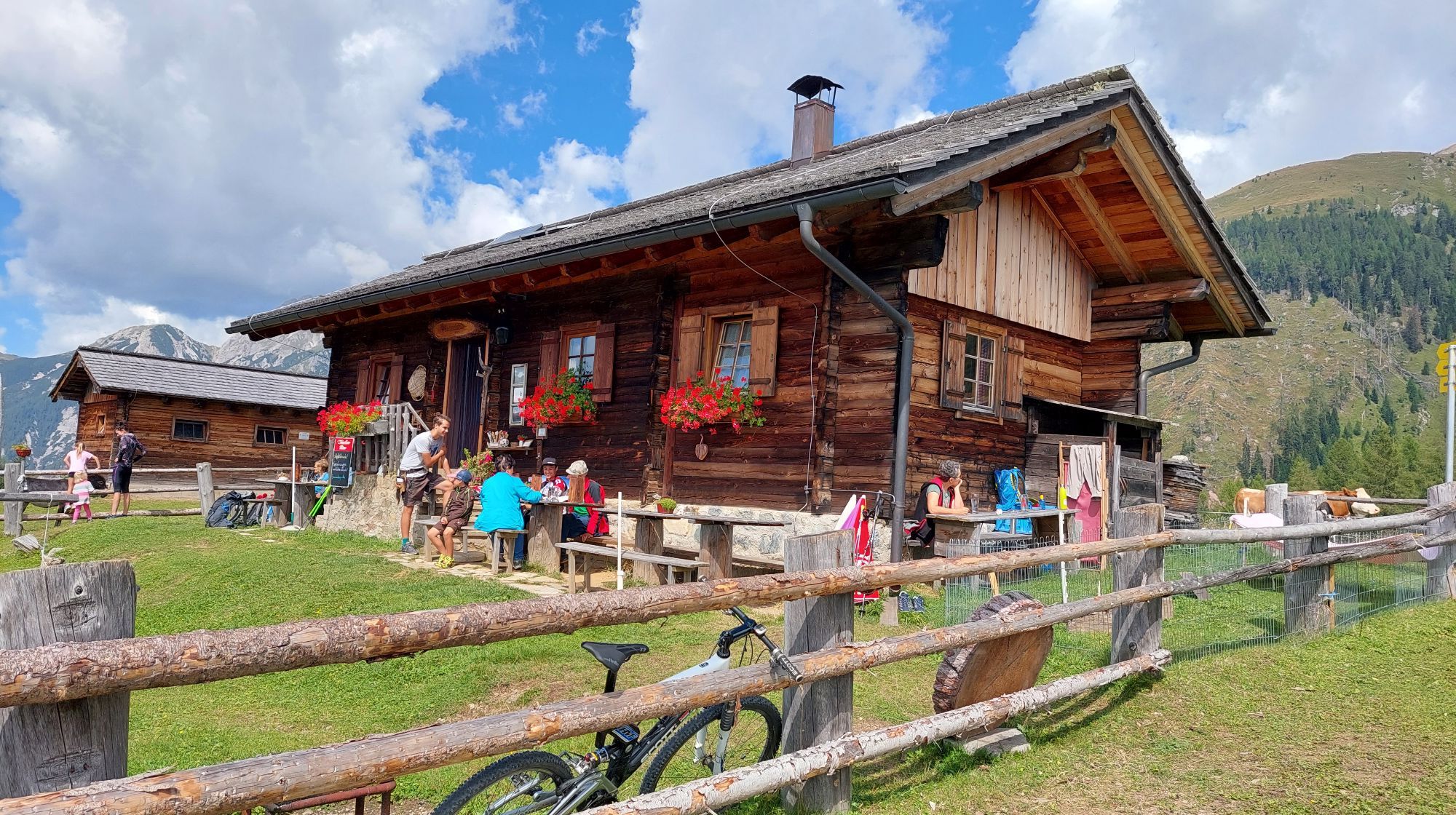
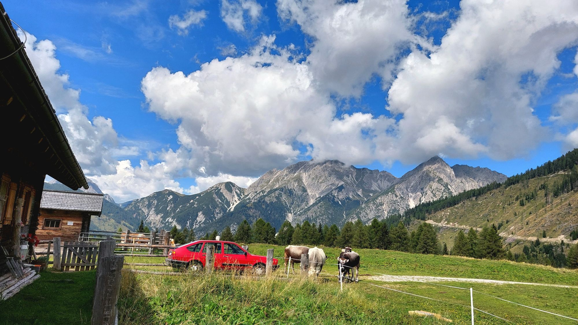

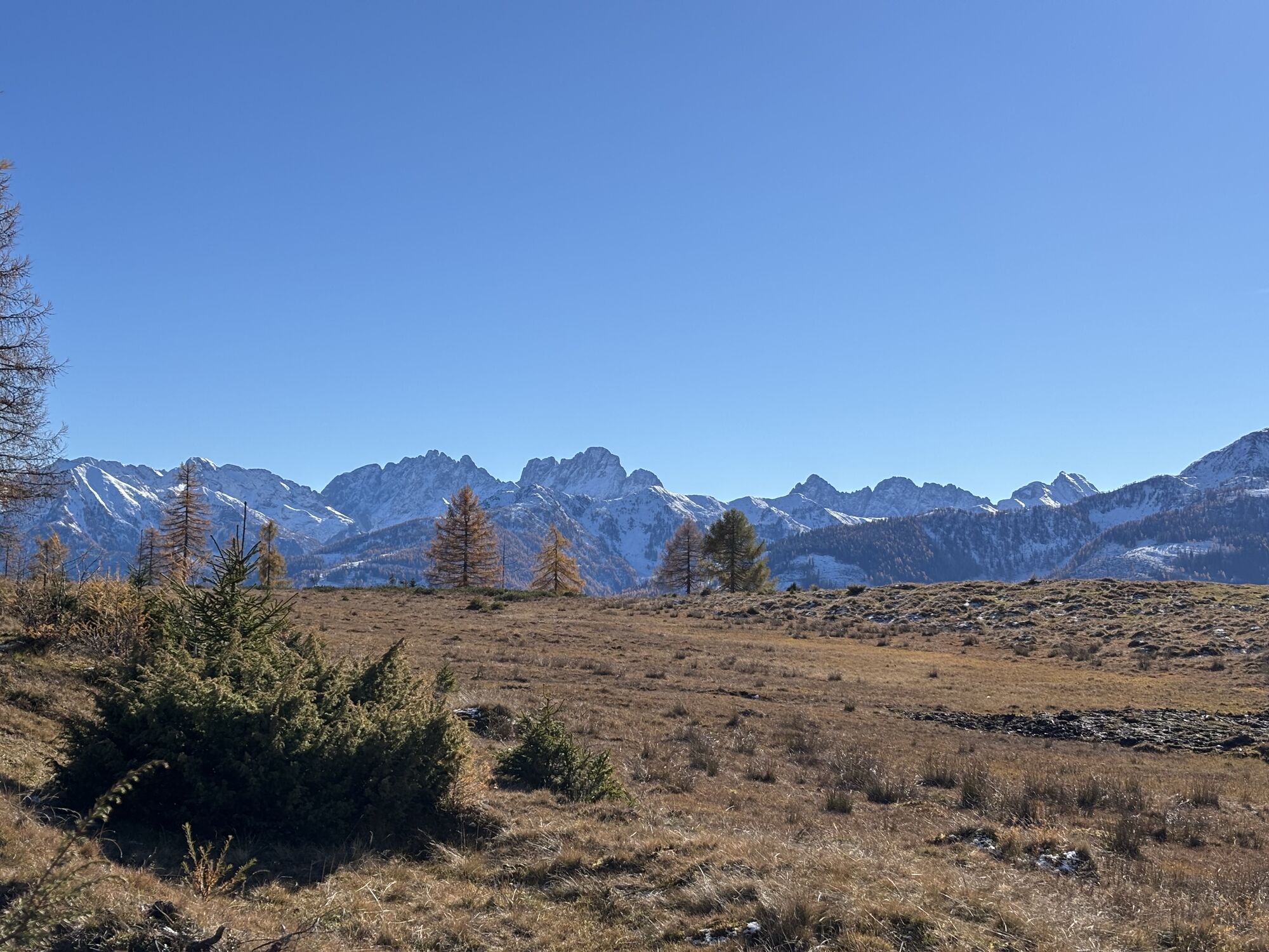
The snowshoe hike to the Lackenalm is an easy hike that requires little fitness. The path is very varied, leading through the forest and over open alpine meadows. At the Lackenalm, you are rewarded with...
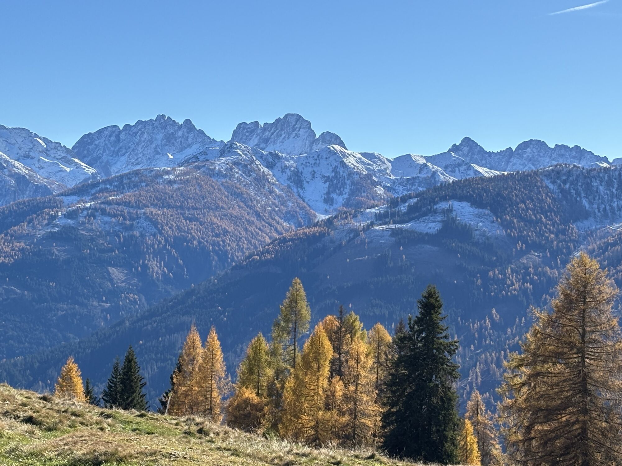
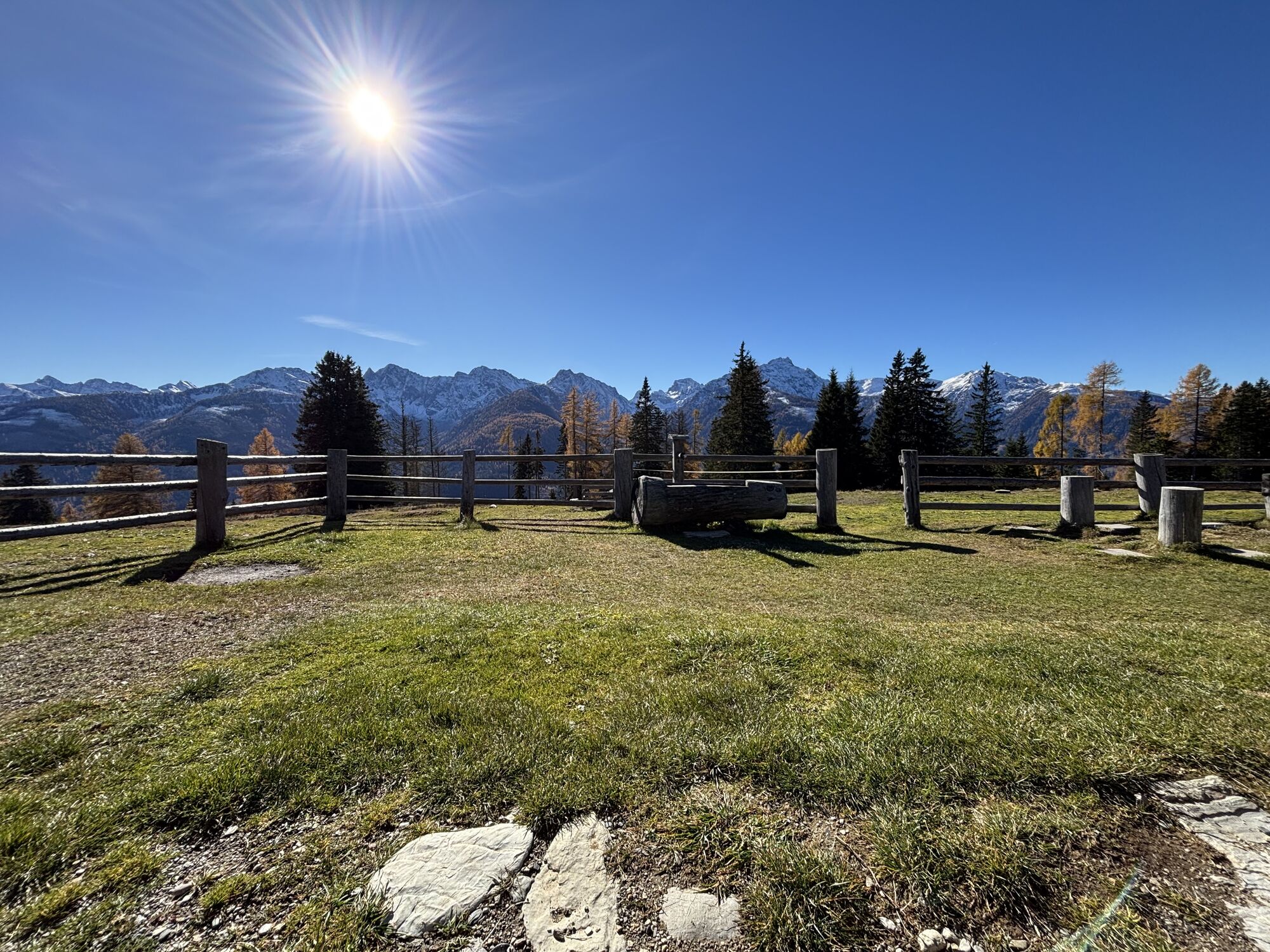
The snowshoe hike to the Lackenalm is an easy hike that requires little fitness. The path is very varied, leading through the forest and over open alpine meadows. At the Lackenalm, you are rewarded with a view of the entire Karnischer Hauptkamm.
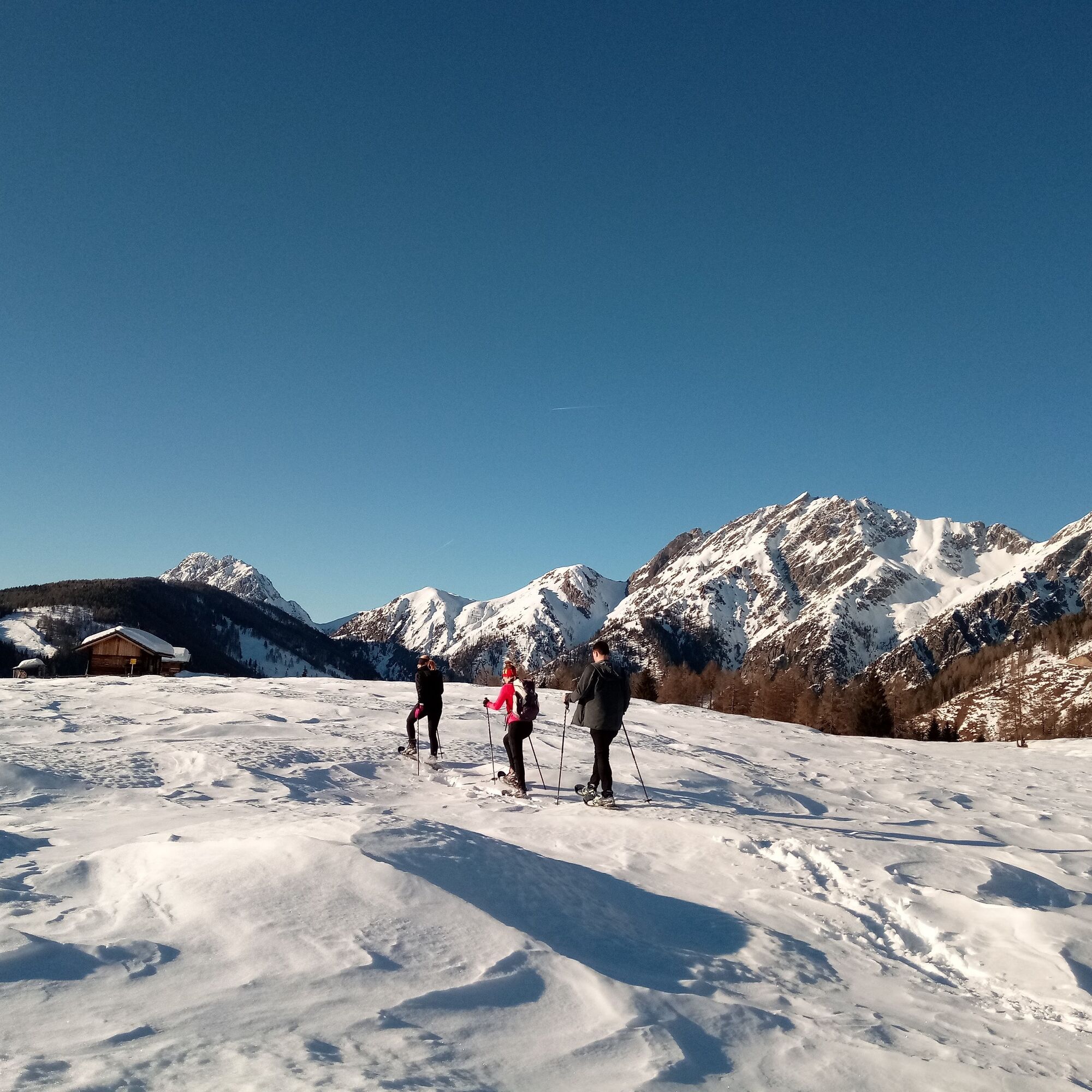
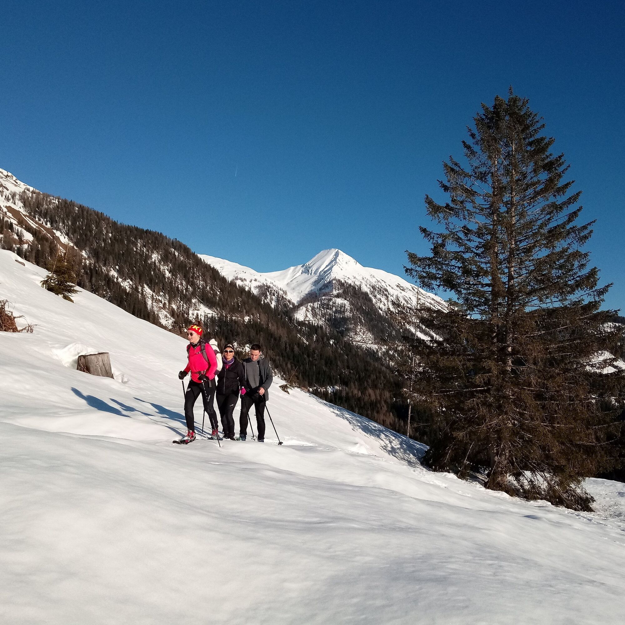
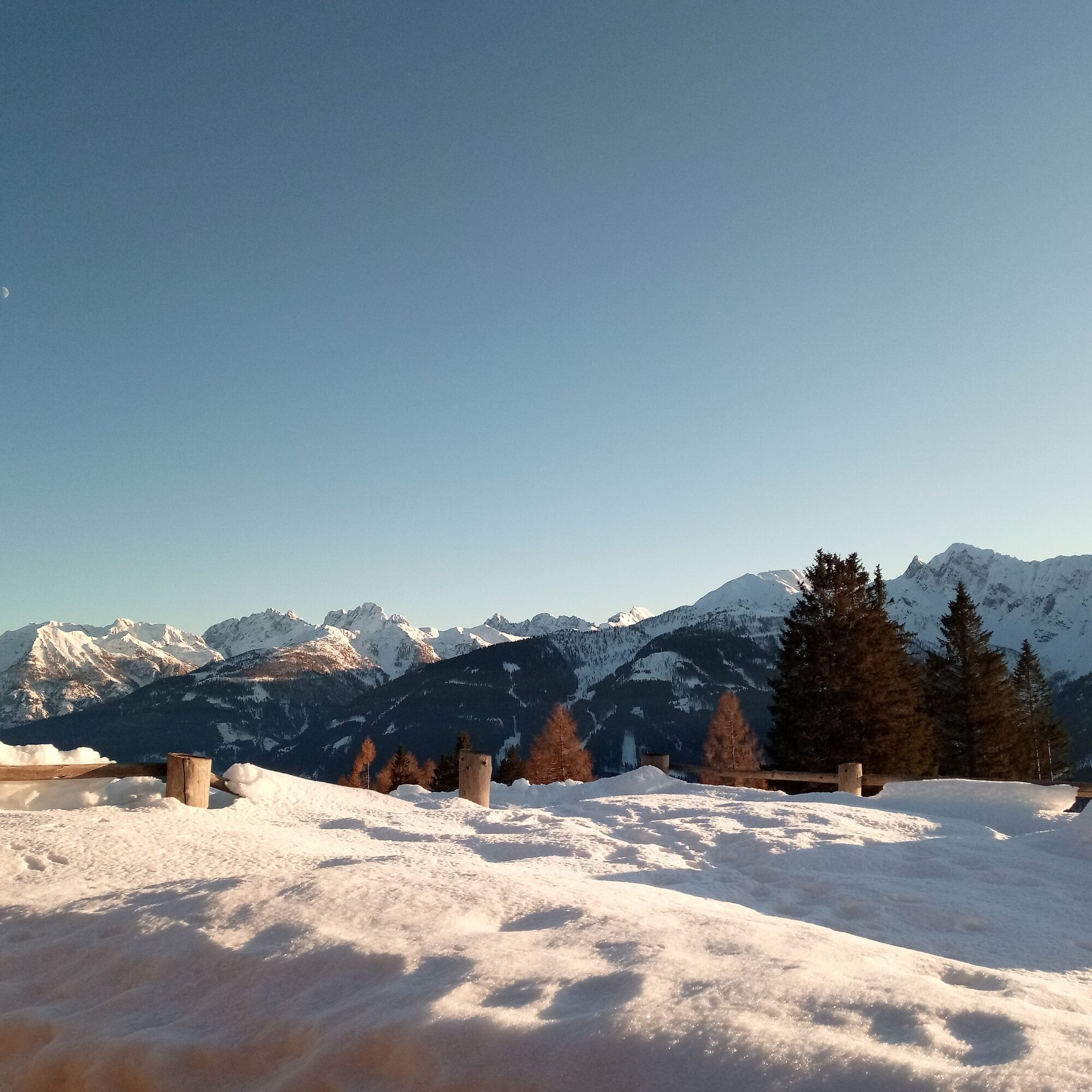
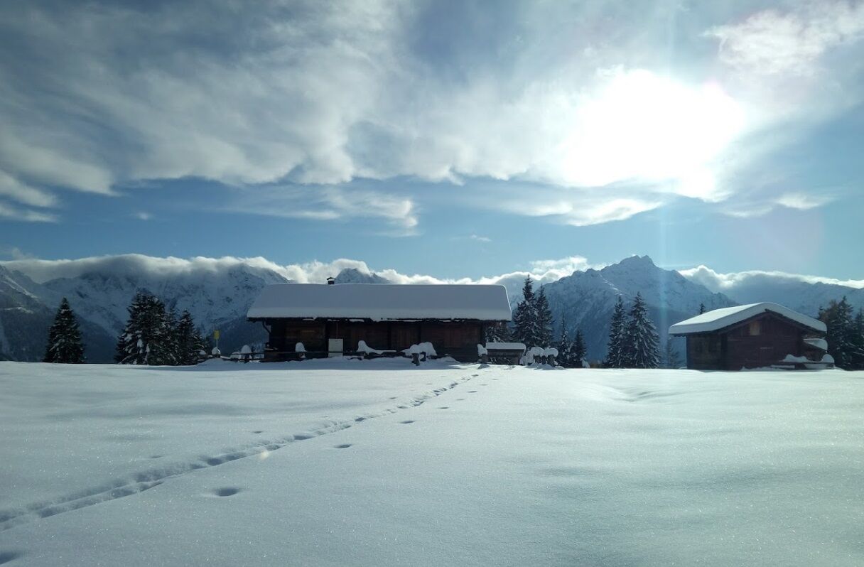

At the eastern end of the village of St. Lorenzen, the path to Bödnerbauer branches off to the left. At the first small crossroads, turn right towards Bödnerbauer. Shortly after crossing the stream, you can leave the forest road and ascend via the summer path. From Bödnerbauer, follow the well-marked summer path first through the forest and then over open alpine meadows until you reach the Lackenalm. The route can be extended northwards to the Lackenkreuz; here, in the open terrain, you can freely choose your ascent track.
The descent initially leads a short way west until you turn south at the crossroads and follow the signs back to St. Lorenzen. Once you leave the alpine meadows, you can descend to St. Lorenzen either via the prepared winter hiking trail or the signposted summer hiking trail. Once above the village, you can either go down to the village via the road or, if the snow conditions are good, descend directly over the fields into the town centre.
Snowshoes, poles, standard safety equipment
Always pay attention to the current avalanche warning level!
From Kötschach-Mauthen via the B111 westwards to the village of St. Lorenzen/Les.; from Lienz/East Tyrol, turn off at Tassenbach towards Obertilliach/Maria Luggau and follow the road to St. Lorenzen.
The route can be started directly from the bus stop "Gasthof zur Post" in St. Lorenzen/Les. or from the bus stop at the Lesachtal Education Centre.
Parking at the village square or directly at the Lesachtal Education Centre
Those who want to extend the route a bit can ascend to the Lackenkreuz – locally called the "Schweinegras-Kreuzel". This adds an additional 20 minutes of ascent and 100 metres of elevation gain to the route.


Obľúbené výlety v okolí
-
4,7
Karlsbader Hütte über Rudl-Eller-Weg
ťažkéTuristika 5,10 km -
4,5
Karnischer Höhenweg – Etappe 4: Hochweißsteinhaus – Wolayersee Hütte
ťažkédiaľková pešia trasa 15,9 km -
4,8
Pirknerklamm (C)
strednáVia ferrata 2 km -
4,8
Lienzer Dolomiten-Lasertörl
strednáTuristika 13,2 km -
4,7
Karlsbader Hütte
strednáMountainbike 13,4 km -
4,5
Obergail - Obergailer Alm - Obergailer Lake - Enderberg hut - Source for Health & Peace - Madonna circular hiking route - Obergail
strednáTuristika 11,4 km -
4,8
Klammbrückl - Kerschbaumeralm - Spitzkofel
ťažkéTuristika 8,71 km -
4,4
Mountain bike route from the Hubertus Chapel to the Wolayersee
ťažkéMountainbike 9,06 km -
4,4
Connyalm (2.070 m)
Turistika 6,36 km -
4,0
Karlsbader Hütte - Lienzer Dolomiten
Turistika 8 km
Turistika a stopovanie


Nenechajte si ujsť ponuky a inšpiráciu na ďalšiu dovolenku
Vaša e-mailová adresa bol pridaný do poštového zoznamu.





