







Snowshoe hike to the Samalm
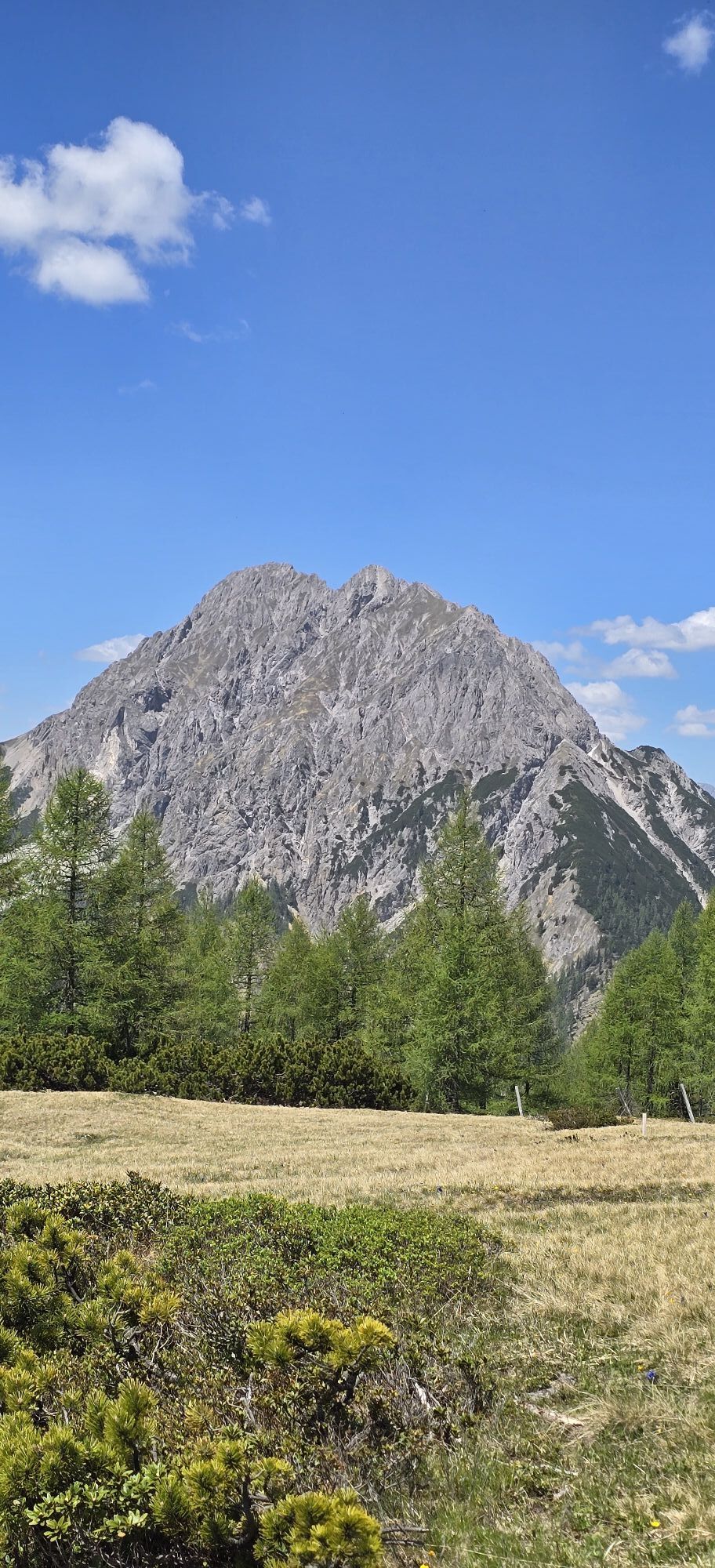
The route to the Samalm does not present major technical challenges but requires a certain level of endurance. It can be started directly from the village of Maria Luggau. The ascent is mostly on the southern...
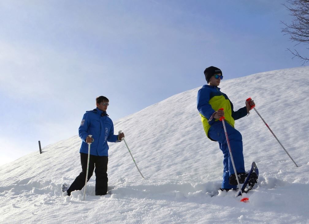
The route to the Samalm does not present major technical challenges but requires a certain level of endurance. It can be started directly from the village of Maria Luggau. The ascent is mostly on the southern side and offers a beautiful view of the Carnic Alps over large sections. The first part of the ascent through the forest follows a forest track; as altitude increases the forest thins out and you continue over open larch meadows, which are still mowed in summer, to the high plateau of the Samalm. The descent follows the ascent route. Alternatively, you can also descend towards Tuffbad and take a taxi back to the starting point from there.
------------------------------------------------------------------------------------------------------------------------------------------------------------------------
Important: Always observe the current avalanche warning level and inform yourself about the current path and weather conditions before the tour!


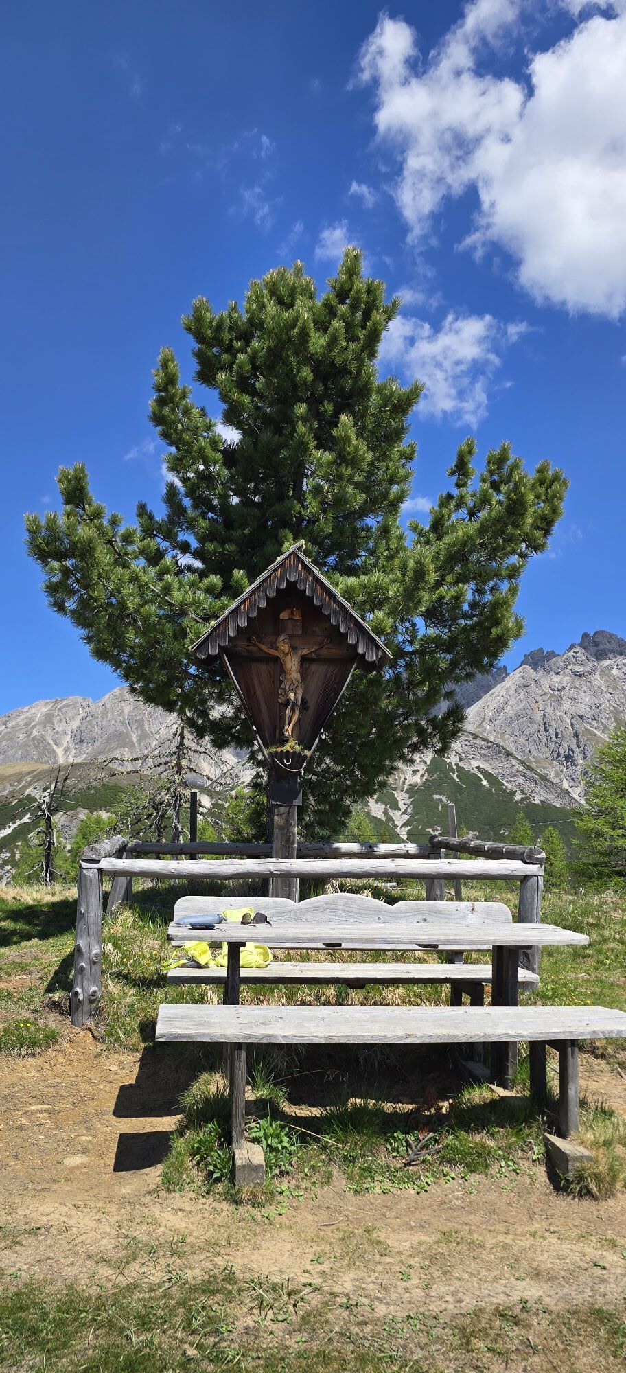
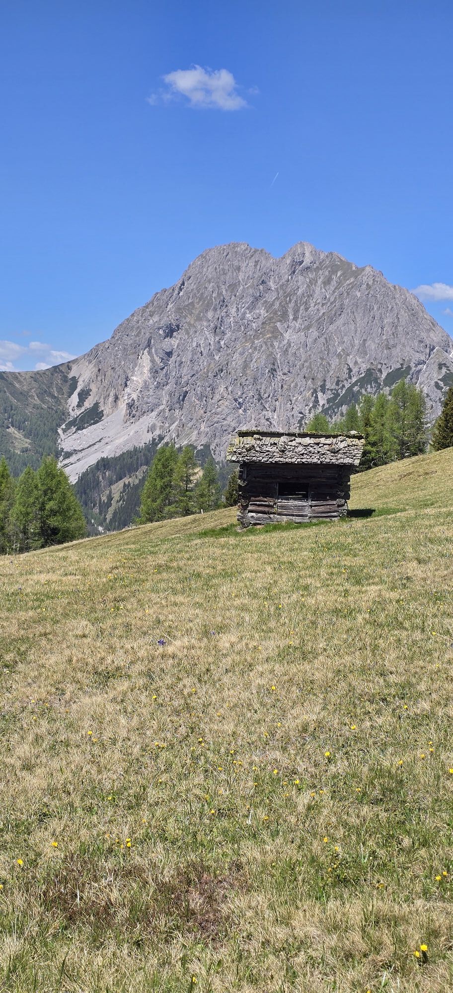
From Paternwirt, continue a few meters along the federal road towards St. Lorenzen, then turn left (north) at the first crossroads. Now proceed for a few minutes along an asphalted side path to a small group of houses. Here the forest track begins, follow it for about an hour. At an altitude of approximately 1,670 m, you reach the alpine path that leads from the Xaveriberg towards Samalm. Follow the path for a few meters and then turn onto the signposted summer path. Now continue steadily in a northwesterly direction, passing some alpine and hay huts until you reach the summit plateau of the Samalm. On clear days, the view from the summit cross stretches from the Sexten Dolomites to the Karawanks, with the Samalm framed by the massive limestone blocks of the Lienz Dolomites.
The descent follows the ascent route; alternatively, you can descend to the Tuffbad and take a taxi back to the starting point from there.
Áno
Snowshoes with telescopic poles, standard safety equipment (avalanche transceiver, probe, shovel, first aid kit)
Please always observe the current avalanche warning level!
From Kötschach-Mauthen take the B111 westwards to the village of Maria Luggau. Coming from Lienz/East Tyrol, turn in Tassenbach towards Obertilliach/Maria Luggau.
Maria Luggau | Paternwirt bus stop
Possible in the village center, below the Maria Luggau monastery.
The route to the Samalm can be well done as a "bad weather alternative" in case of snowfall or poor visibility.
Získajte prehľad
Vždy naživo na mieste s viac ako 9 500 webovými kamerami. bergfex Ako používateľ Pro si teraz môžete pozrieť príslušné webové kamery pre mnohé zájazdy v aplikácii zájazdy z. Môžete si tak priamo prezerať aktuálne podmienky.
Obľúbené výlety v okolí
-
4,7
Karlsbader Hütte über Rudl-Eller-Weg
ťažkéTuristika 5,10 km -
4,5
Karnischer Höhenweg – Etappe 4: Hochweißsteinhaus – Wolayersee Hütte
ťažkédiaľková pešia trasa 15,9 km -
4,8
Pirknerklamm (C)
strednáVia ferrata 2 km -
4,8
Lienzer Dolomiten-Lasertörl
strednáTuristika 13,2 km -
4,7
Obergail - Obergailer Alm - Obergailer Lake - Enderberg hut - Source for Health & Peace - Madonna circular hiking route - Obergail
strednáTuristika 11,4 km -
4,0
Karlsbader Hütte - Lienzer Dolomiten
Turistika 8 km -
4,7
Karlsbader Hütte
strednáMountainbike 13,4 km -
4,3
Connyalm (2.070 m)
Turistika 6,36 km -
5,0
Porzehütte (1.942 m)
svetloTuristika 9,01 km -
4,3
Mountain bike route from the Hubertus Chapel to the Wolayersee
ťažkéMountainbike 9,06 km
Turistika a stopovanie


Nenechajte si ujsť ponuky a inšpiráciu na ďalšiu dovolenku
Vaša e-mailová adresa bol pridaný do poštového zoznamu.





