







Arriach farm hike
Along the Arriach farm hike you can expect not only a beautiful landscape but also elements from the region's farming culture such as barns and silos which take you back to the lifestyle of the region's...
Along the Arriach farm hike you can expect not only a beautiful landscape but also elements from the region's farming culture such as barns and silos which take you back to the lifestyle of the region's earliest citizens.
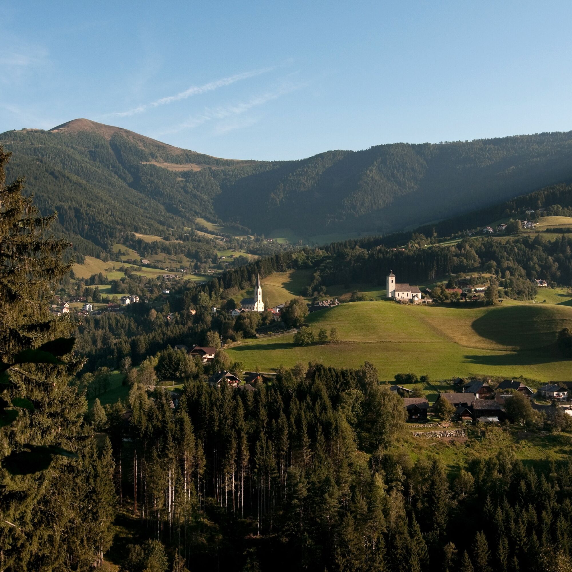
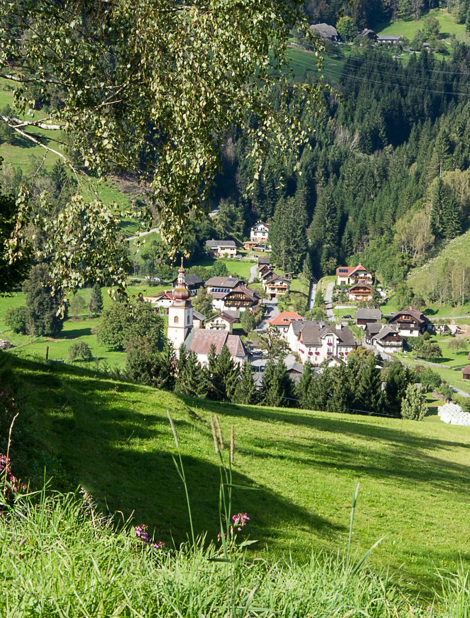
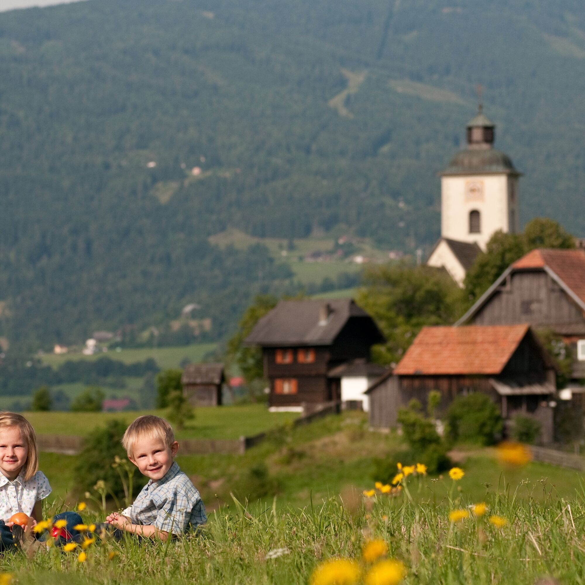
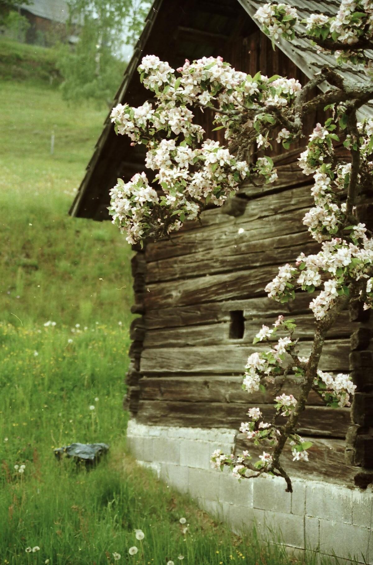
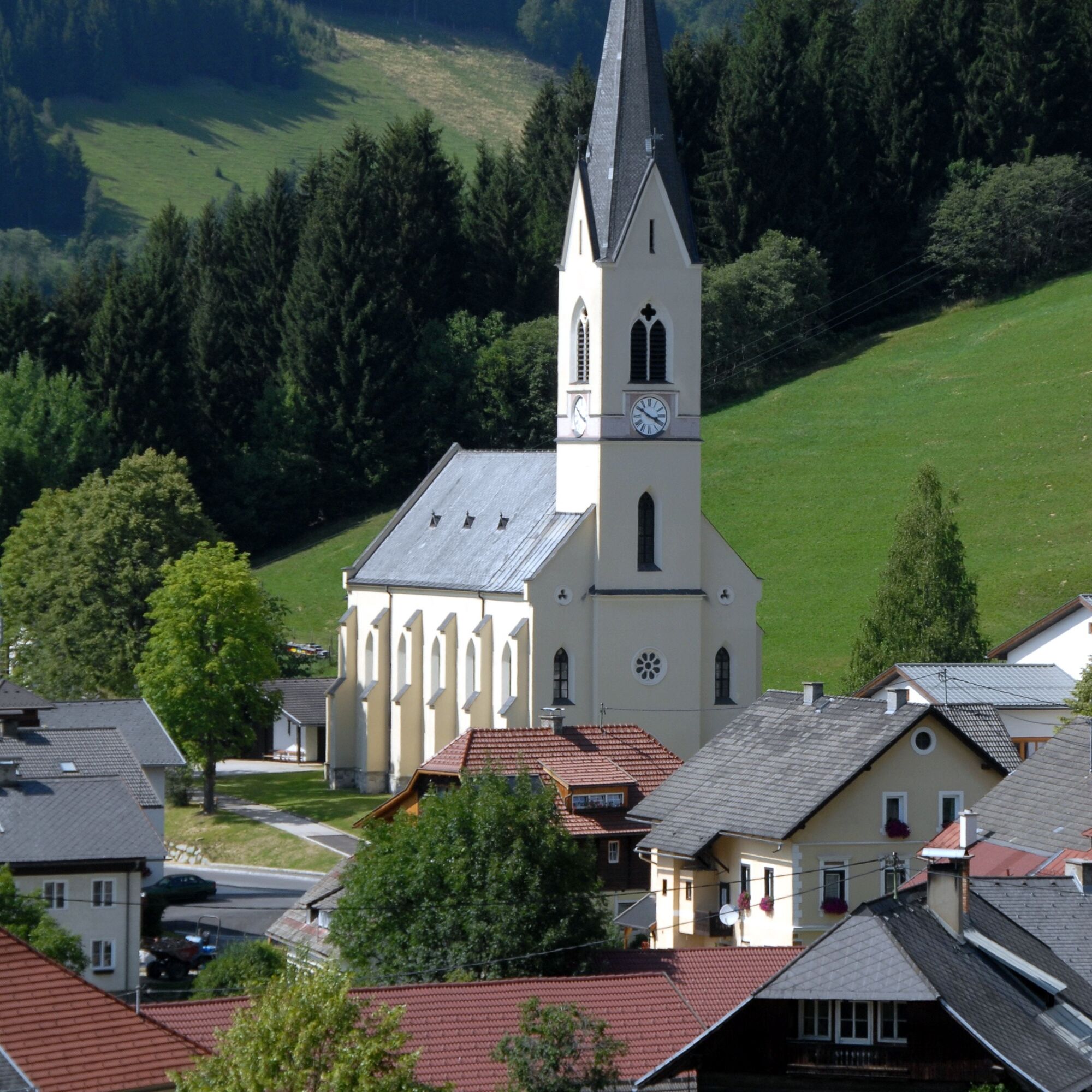

The starting point of the Arriach Farm Hiking Route is either the “Mittelpunkt” parking lot at the beginning of the town or the Arriach town square. Begin by hiking about 1 kilometer on a slightly steeper path through the town of Arriach to Laastadt. Here you can see some of the more typical farmsteads of the region (they got special names: Orter, Huber, Schmoliner, Tengg, Geiger and Seiter). There is also a 500-year-old candelabra spruce at a gorgeous resting spot. After this you follow the “Zufahrtstrasse” (access road) to the Moser Estate where you can visit a small but interesting farm museum. From here you follow the upper half of the estate through a field to the edge of the forest where you get onto the “Forststrasse” (forest road) towards “Wöllan.” From “Plaikengraben” (the Plaiken Trench) you follow a forest trail to “Jausenstation vlg. Laner” (snack station run by the Laner family). From there you can take an additional path towards “Oberwöllan” (west), where you will run into the Peter and Paul churches. If you are looking for a shorter hike, go southwest from the Laner estate to the Lackner estate where you can see Carinthia’s oldest barn (1593). From here the trail leads you further into the valley to the Ofner estate and then back on the forest path to the starting point in the town center.
Good shoes, rain jacket.
Arriach is reachable with the A10 highway, exit at "Ossiacher See." From there you follow the "Bundesstrasse" (main road) towards "Bad Kleinkirchheim" which takes you to Arriach after about 7 minutes.
There are plenty of parking spots available at the starting point.
+43 4242 42000
The Arriach farm hike brochure, including a full map of Arriach, ist available for free at the town hall.


Webové kamery z prehliadky
Získajte prehľad
Vždy naživo na mieste s viac ako 9 500 webovými kamerami. bergfex Ako používateľ Pro si teraz môžete pozrieť príslušné webové kamery pre mnohé zájazdy v aplikácii zájazdy z. Môžete si tak priamo prezerať aktuálne podmienky.

Obľúbené výlety v okolí
-
4,7
4 Huts route
strednáTuristika 8,96 km -
5,0
Amberg: Palnock 1901m, Schwarzsee, Rundstrecke
strednáTuristika 7,94 km -
4,4
Finsterbach Waterfalls - Circular route
strednáTuristika 3,87 km -
4,7
Falkertsee - Sonntagstal - Falkert
strednáTuristika 4,84 km -
4,6
Millstätter See cycle track
strednáCyklistika 27,7 km -
4,2
Schwarzsee circular hiking trail
strednáTuristika 7,79 km -
4,6
Falkert, Murmelsteig B/C mit Direktem Abstieg
strednáVia ferrata 3,61 km -
4,9
Skitour: FIS K70, Auf Franz Klammers Spuren
strednáSkitour 11,3 km -
4,5
Falkertsee - Murmelsteig mit Abstieg über Falkertscharte
strednáVia ferrata 4,04 km -
4,5
Rundweg über den Falkert
strednáTuristika 6,26 km
Turistika a stopovanie


Nenechajte si ujsť ponuky a inšpiráciu na ďalšiu dovolenku
Vaša e-mailová adresa bol pridaný do poštového zoznamu.





