







Landart Hiking Route Rosegg
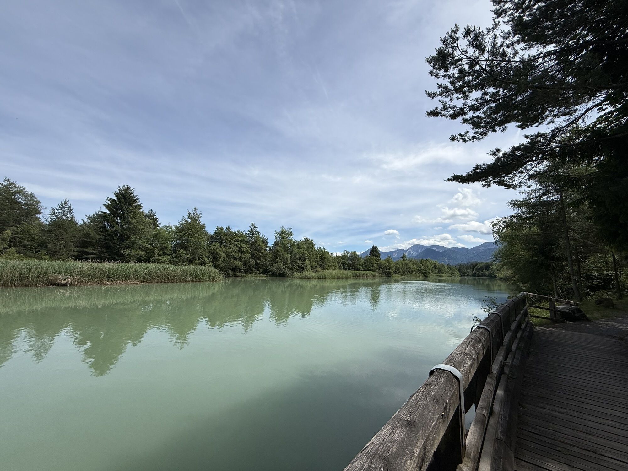
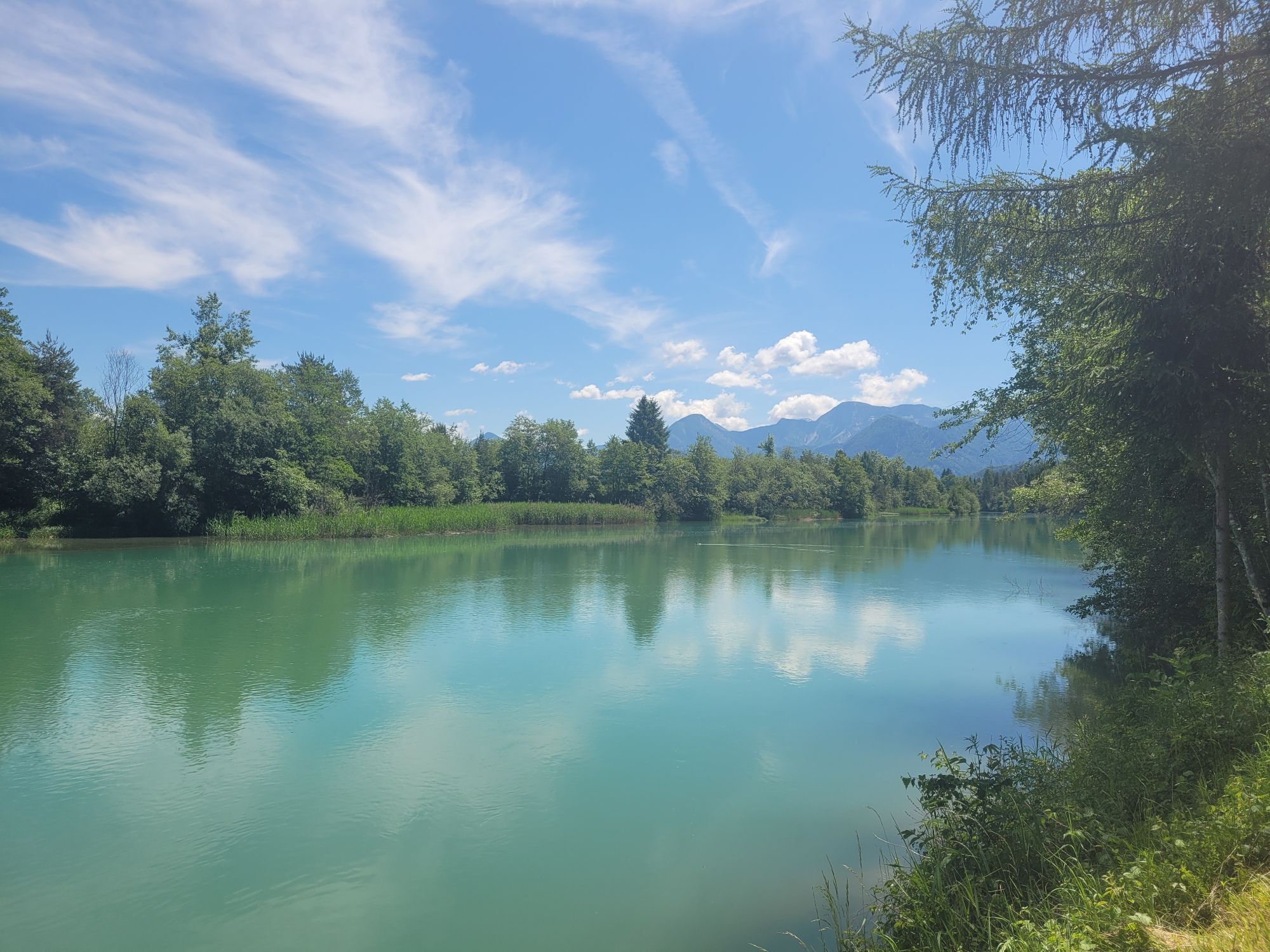
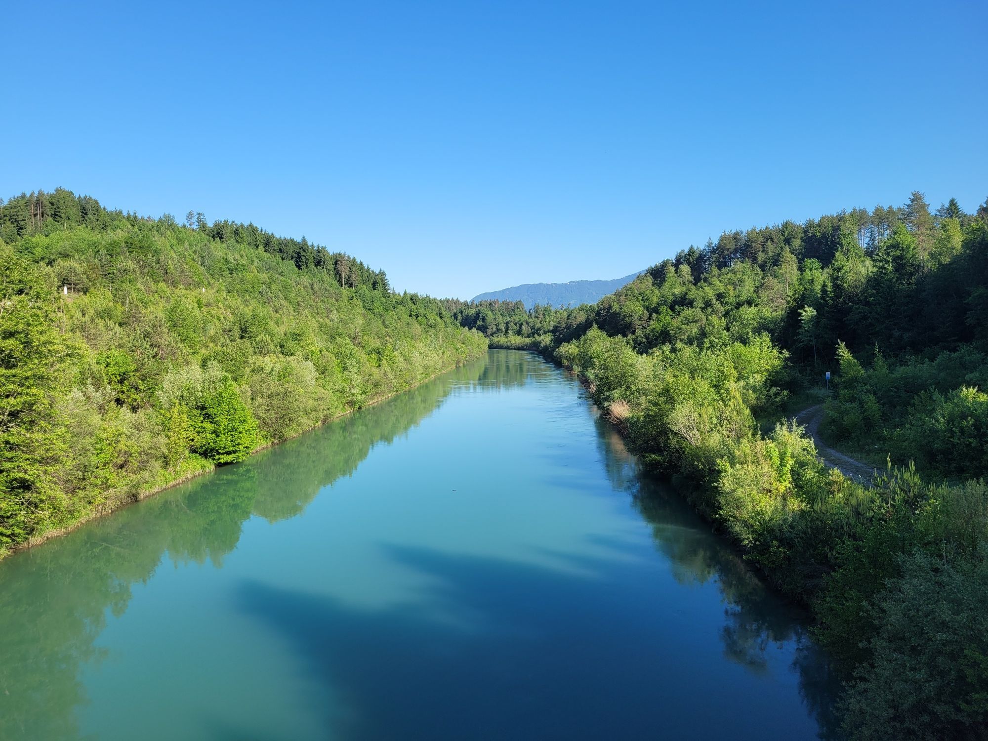
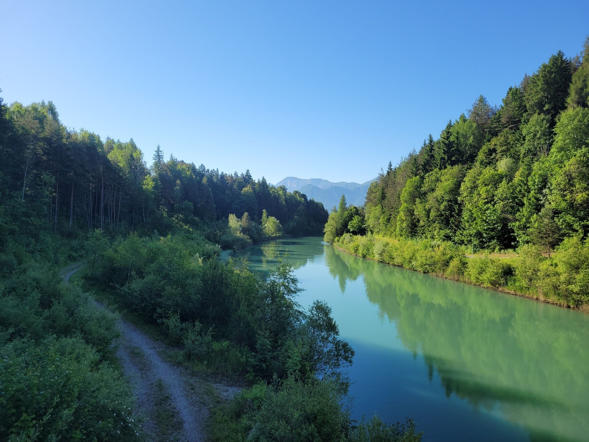
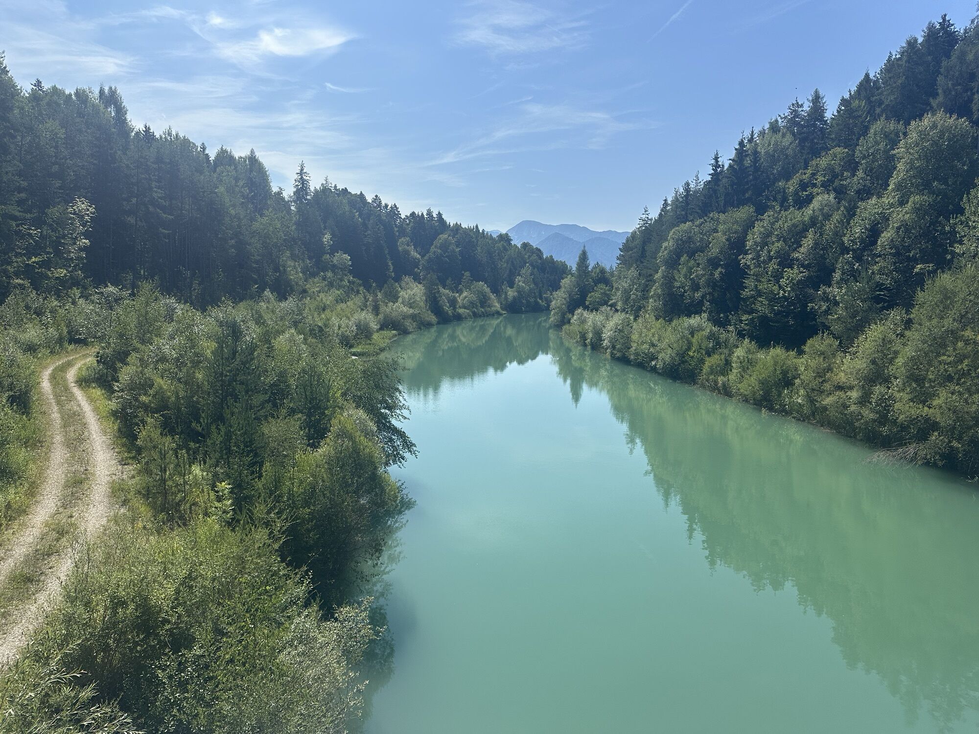
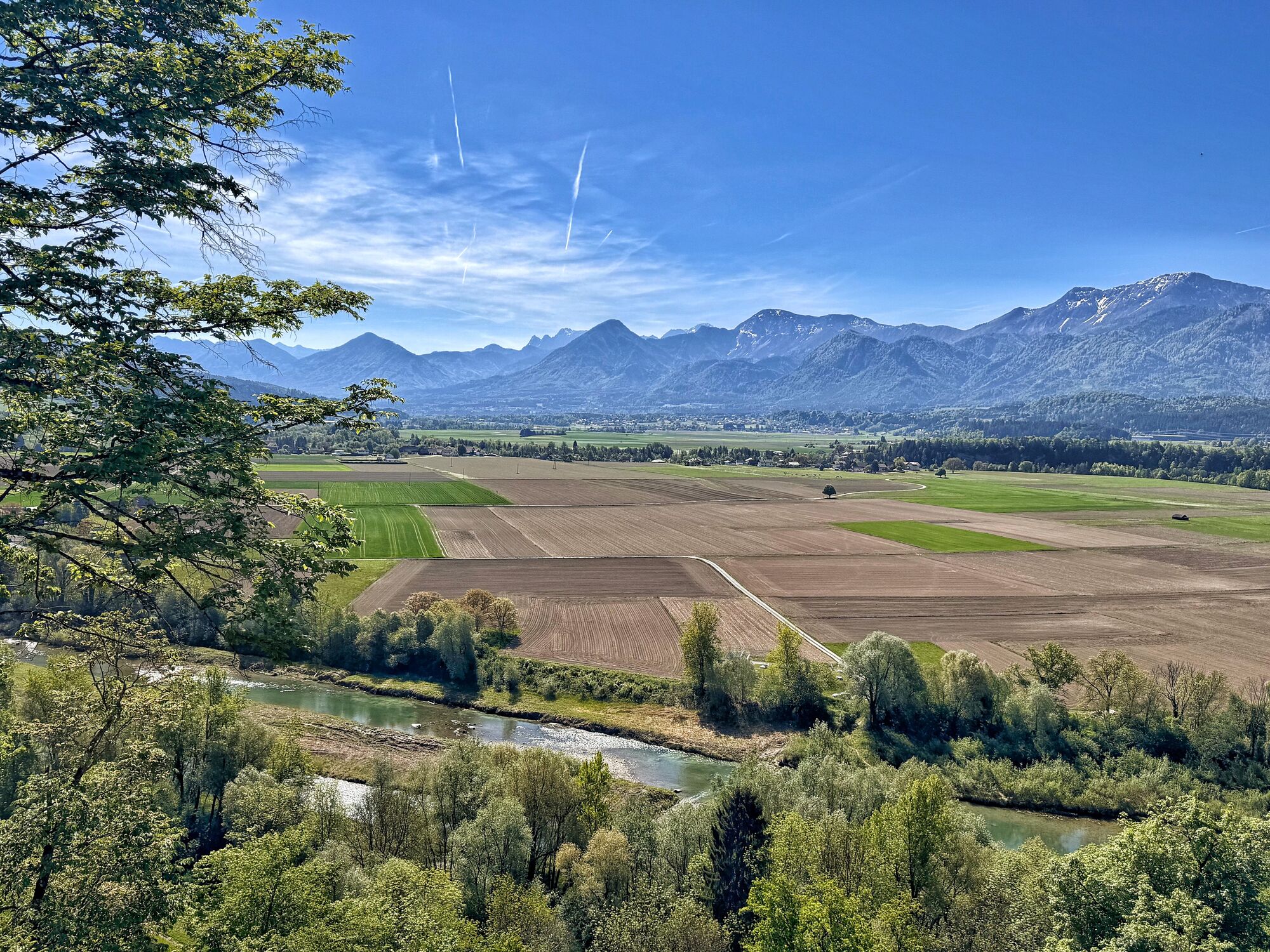
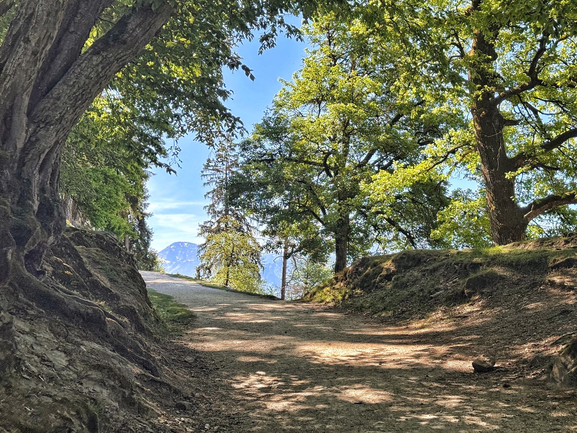
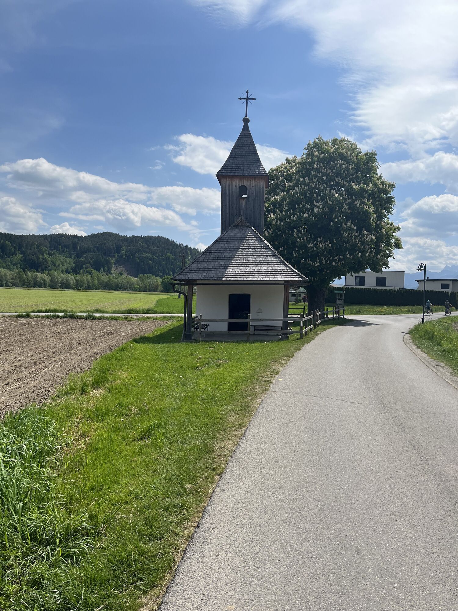
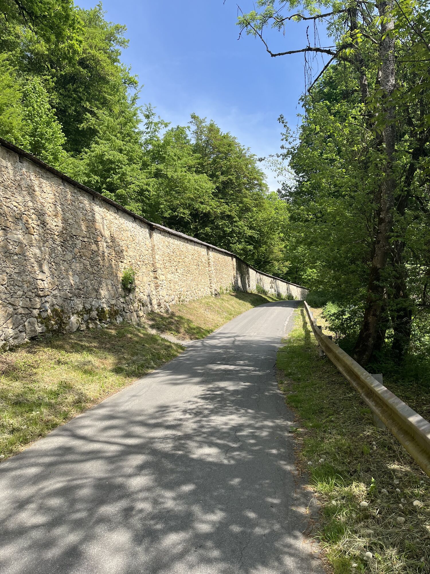

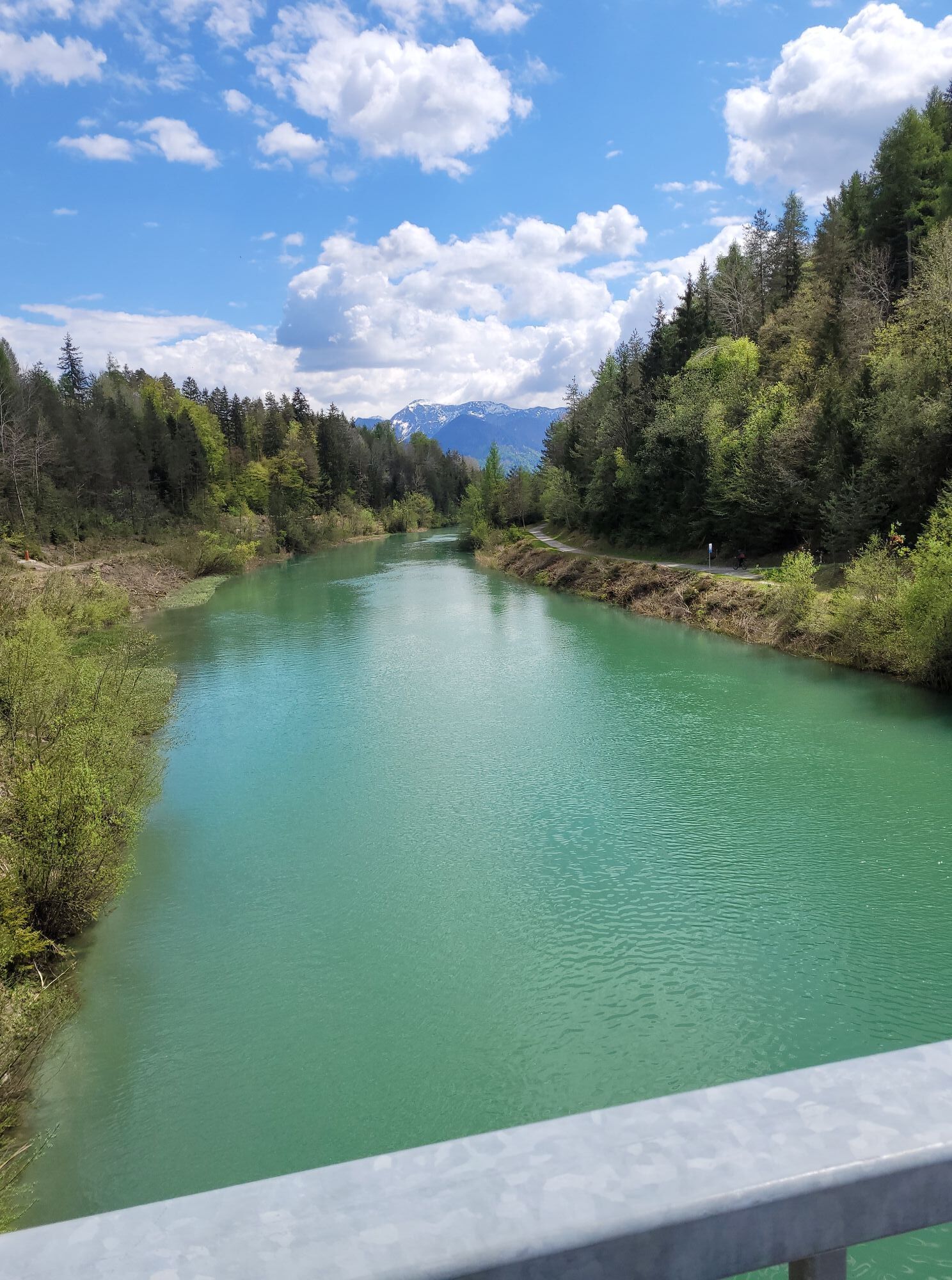
In the market town of Rosegg, you will find a special kind of hiking route.
The easy-going, just under 11-kilometer-long route is suitable not only for families and beginner hikers but also fully satisfies...
In the market town of Rosegg, you will find a special kind of hiking route.
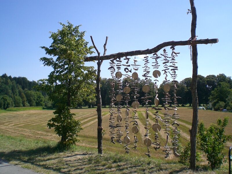
The easy-going, just under 11-kilometer-long route is suitable not only for families and beginner hikers but also fully satisfies art enthusiasts. Because distributed along the entire hiking route, you will find 17 works by young artists. So you are not just on a hiking route but in a huge open-air gallery. Starting from Keltenwelt Frög, the Landart hiking route leads you along winding paths into the world of the most natural art form. Landart is expressed with natural materials and by incorporating the surroundings. The works made of wood, stones, gravel, leaves, and much more were created so that they slowly but surely become part of the naturally grown landscape. One day, the sculptures will give the impression that they have always stood in their place.
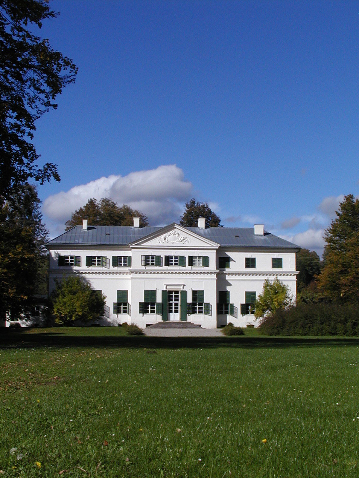
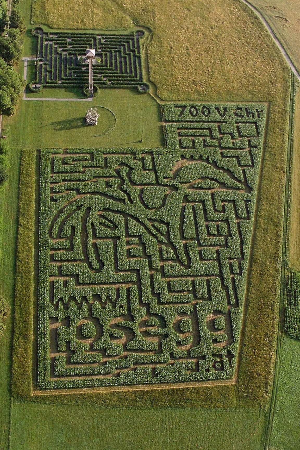
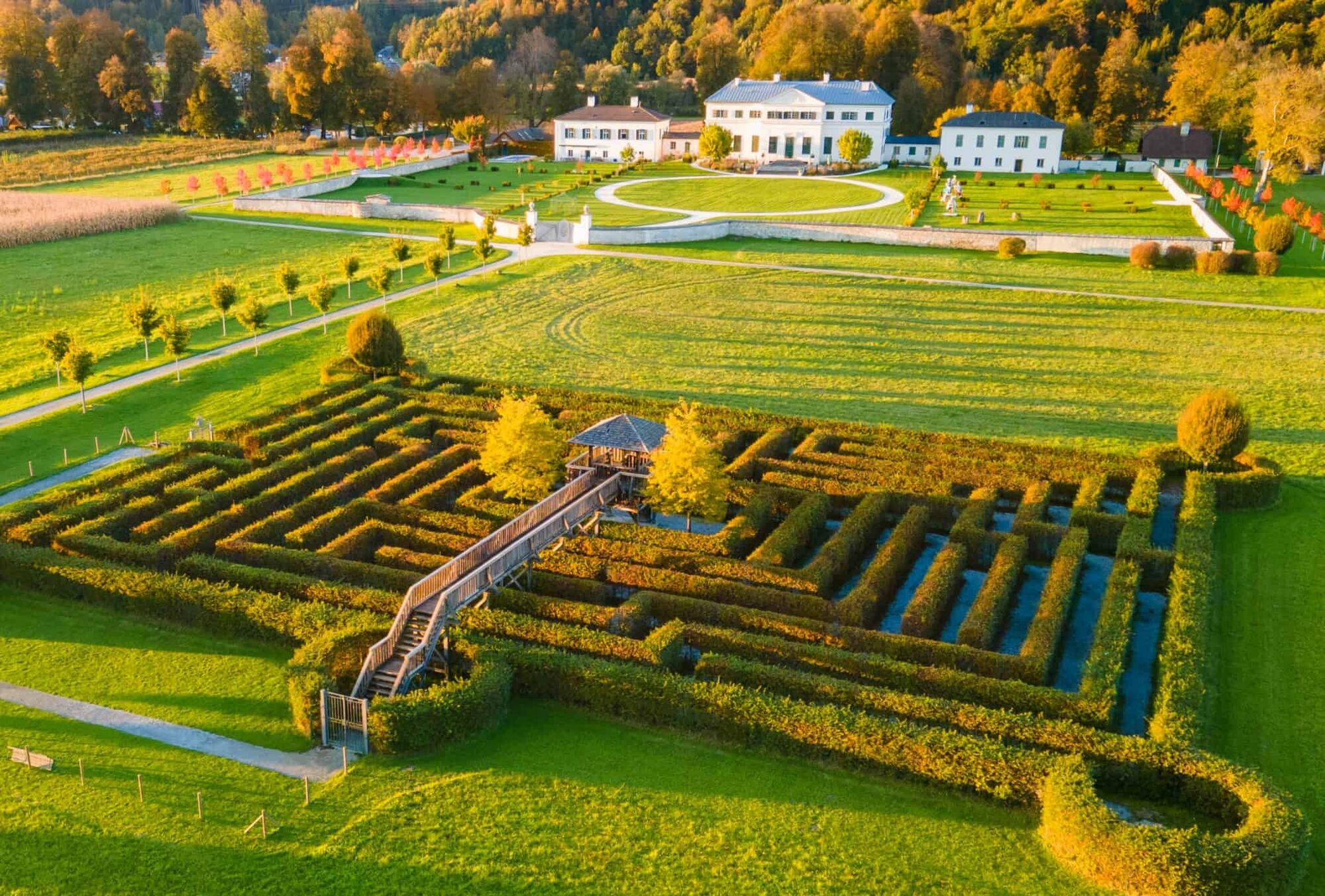
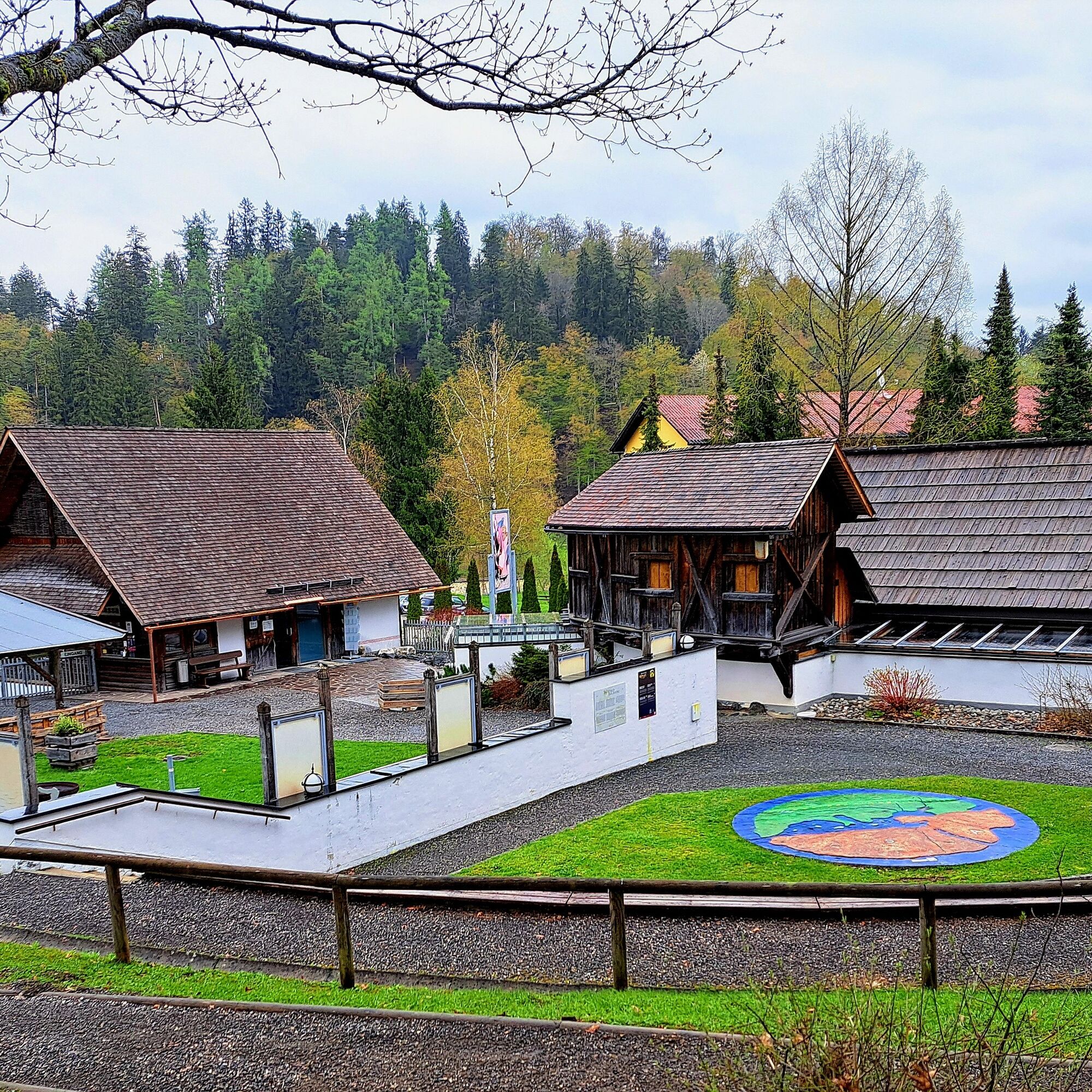


First to the bridge, turn right towards St. Martin and continue over the bridge, then back to Oberwasserkanal bridge. Return to Keltenwelt, then proceed to Rosegg and over the bridge towards Selpritsch. Back to the Rosegg church and from there to Rosegg castle. Through the chestnut avenue and back to Frög. From there back to Keltenwelt.
Áno
Áno
Keltenwelt Frög

 Získajte prehľad
Vždy naživo na mieste s viac ako 9 500 webovými kamerami. bergfex Ako používateľ Pro si teraz môžete pozrieť príslušné webové kamery pre mnohé zájazdy v aplikácii zájazdy z. Môžete si tak priamo prezerať aktuálne podmienky.
Získajte prehľad
Vždy naživo na mieste s viac ako 9 500 webovými kamerami. bergfex Ako používateľ Pro si teraz môžete pozrieť príslušné webové kamery pre mnohé zájazdy v aplikácii zájazdy z. Môžete si tak priamo prezerať aktuálne podmienky.
Obľúbené výlety v okolí
-
4,4
Mittagskogel - Rundwanderung
ťažkéTuristika 14,5 km -
4,6
Pyramidenkogel path Maria Wörth
strednáTuristika 10,8 km -
4,6
Hoher Gallin route
strednáTuristika 7,09 km -
4,4
Finsterbach Waterfalls - Circular route
strednáTuristika 3,87 km -
4,5
Mallestiger Mittagskogel
strednáTuristika 8,17 km -
4,3
Lake circular trail
svetloNordic Walking 9,85 km -
4,8
Schwarzkogel-Runde über Jepzasattel Schwarzkogel, Mallestiger Mittagskogel
strednáTuristika 13,4 km -
4,6
Sinacher Gupf crossing
strednáTuristika 8,32 km -
4,7
Rotschitza Klamm Klettersteig B/C
strednáVia ferrata 3,73 km -
4,6
Pyramidenkogelweg Schiefling
strednáTuristika 8,41 km
Turistika a stopovanie


Nenechajte si ujsť ponuky a inšpiráciu na ďalšiu dovolenku
Vaša e-mailová adresa bol pridaný do poštového zoznamu.





