


The path of the planets
Úroveň náročnosti: T1
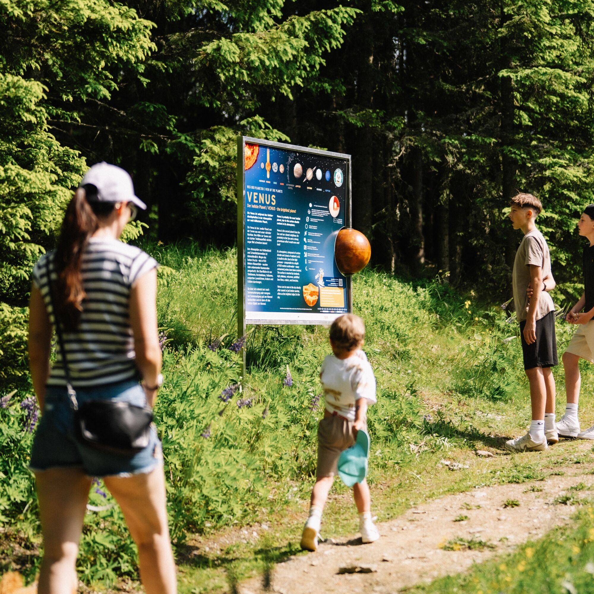
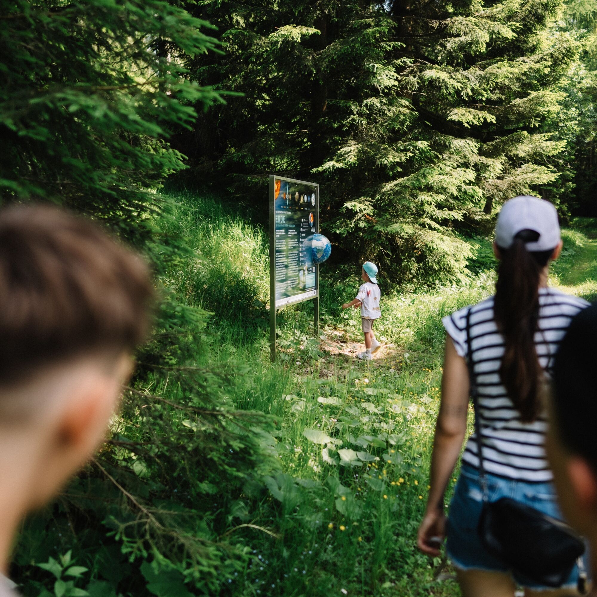
On this short hike, children, with the help of their parents, become little researchers or maybe even astronauts of the future. Besides the informative station panels with integrated planet model and child-friendly...
Experience stations:
Station panel 1 - Our solar system
Station panel 2 - Neptune - The icy dwarf
Station panel 3 - Uranus - The rolling barrel
Station panel 4 - Saturn - The lord of the rings
Station panel 5 - Jupiter - The true giant
Station panel 6 - Asteroid belt - The debris field of rocks
Station panel 7 - Mars - The rusty planet
Station panel 8 - Earth - The blue planet
Station panel 9 - Venus - The brightest planet
Station panel 10 - Mercury - The special little one
Station panel 11 - Sun - The central star
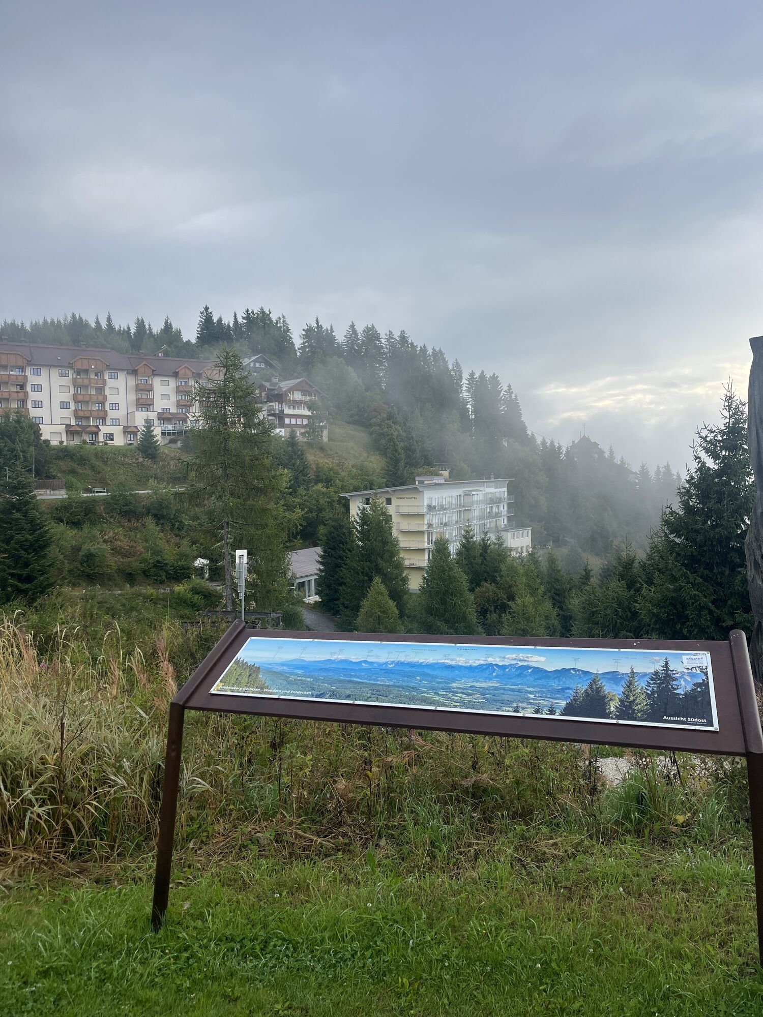
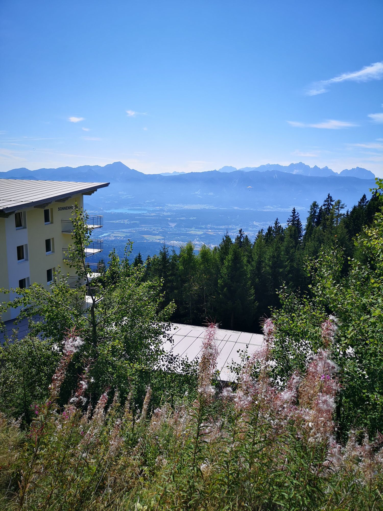
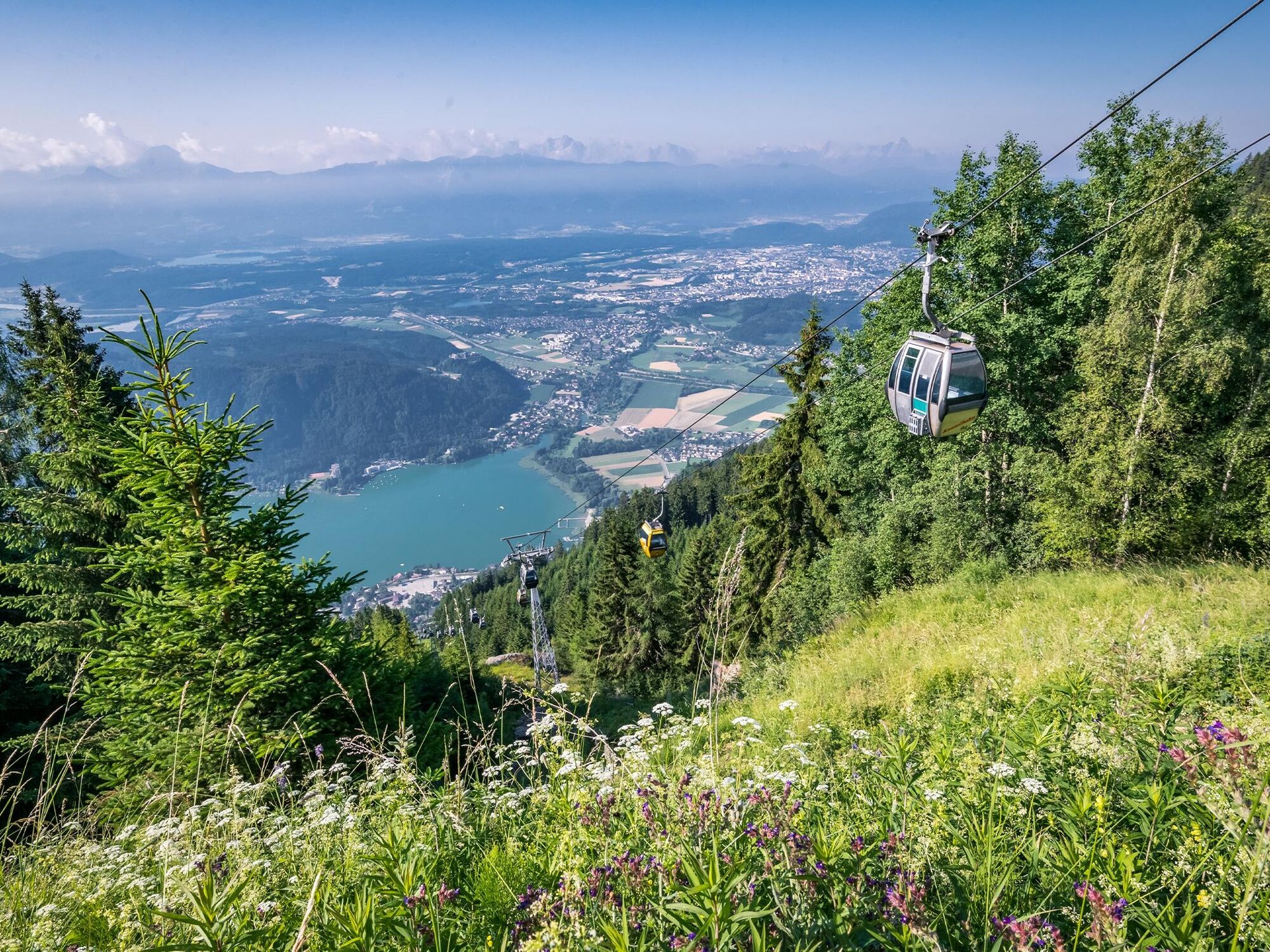
Solar Observatory Kanzelhöhe with exhibition room

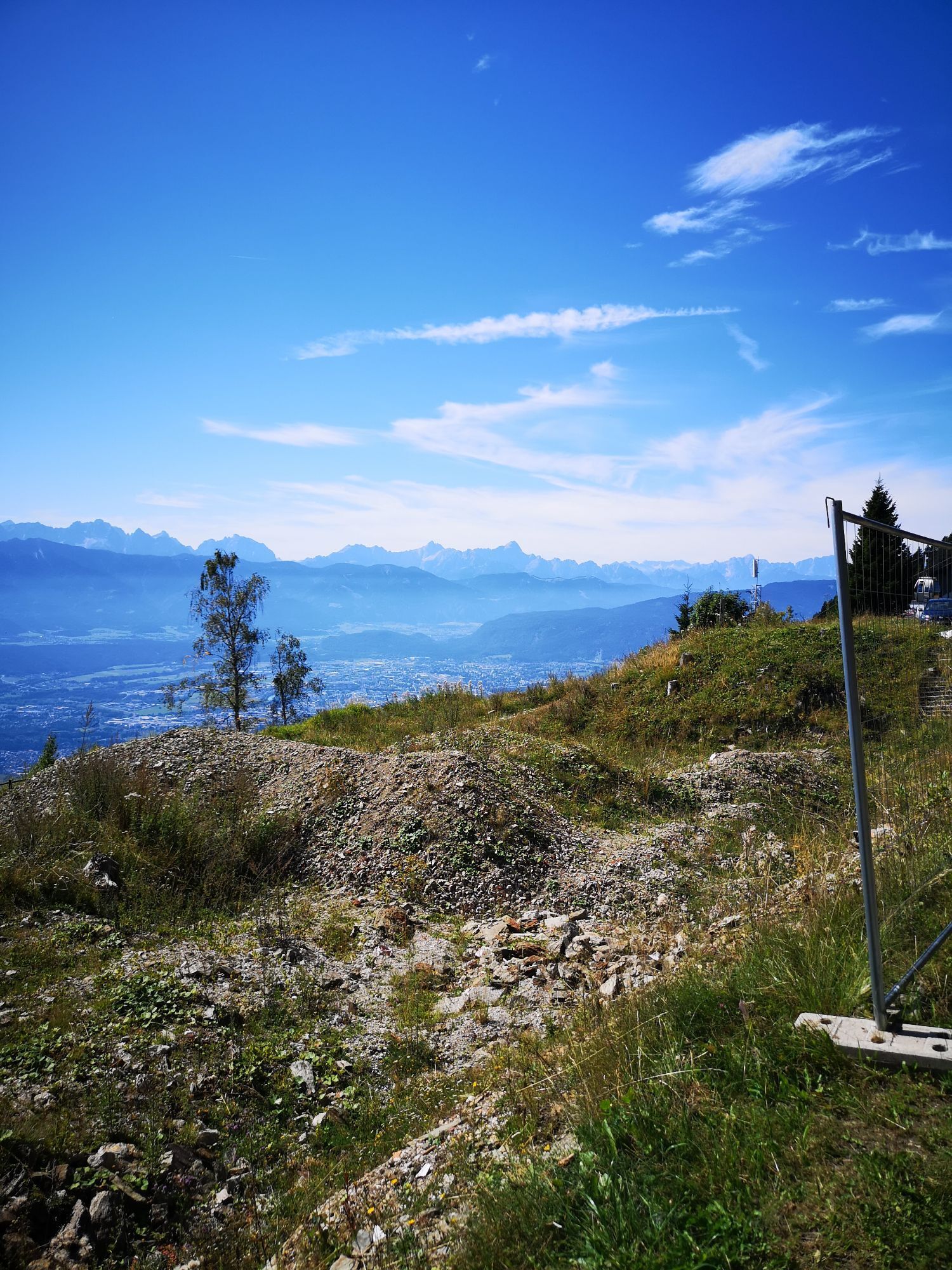
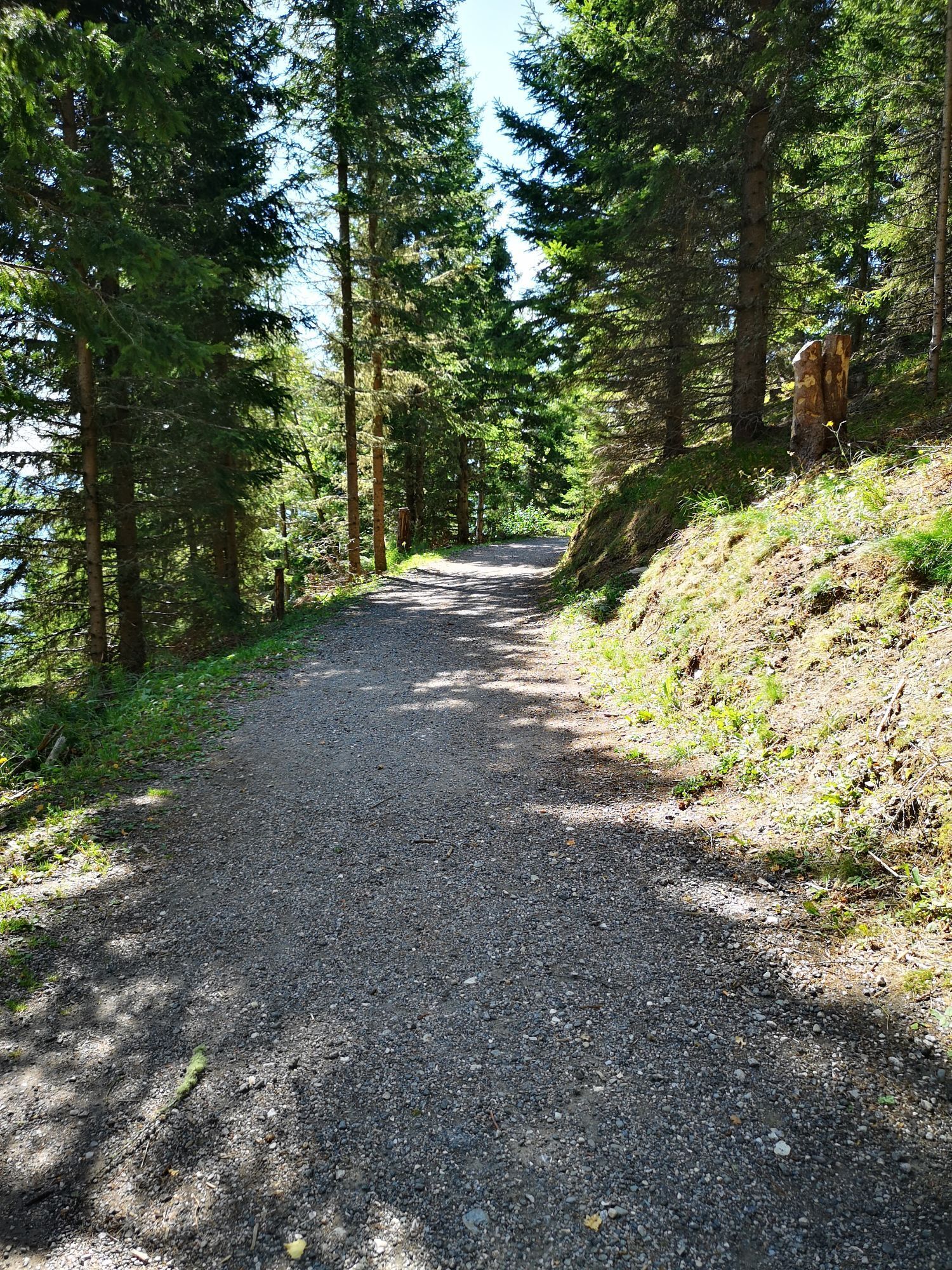
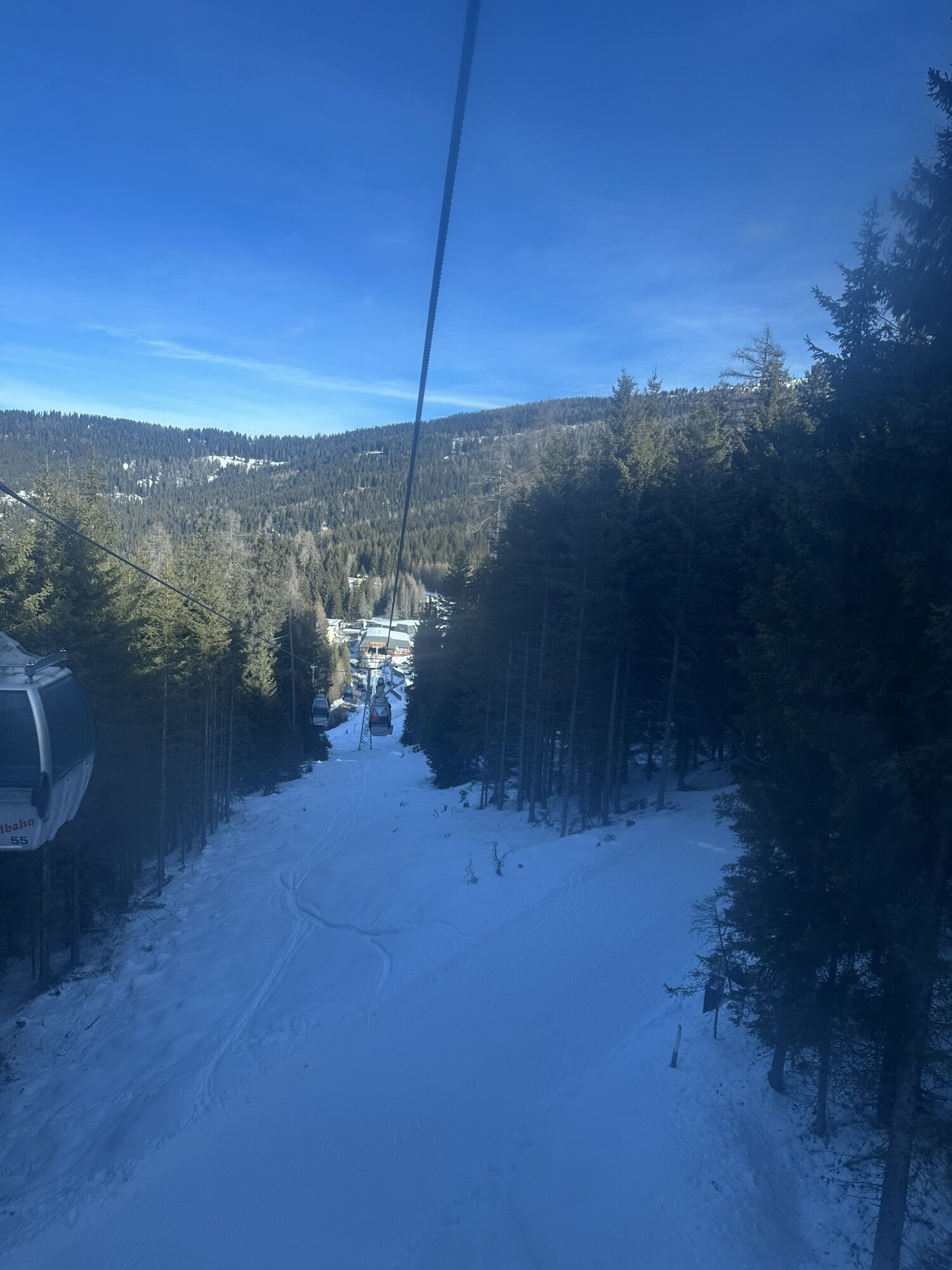
When you reach the small plateau of Waldtratte, turn left following the signposts towards Schneegrube (path no. 35) at the first house. On the first 30 meters, you cross the slope without a path, slightly uphill, to the upper station Moserbahn (chairlift) for the second half of our solar system. The rocky planets are introduced by the asteroid belt.
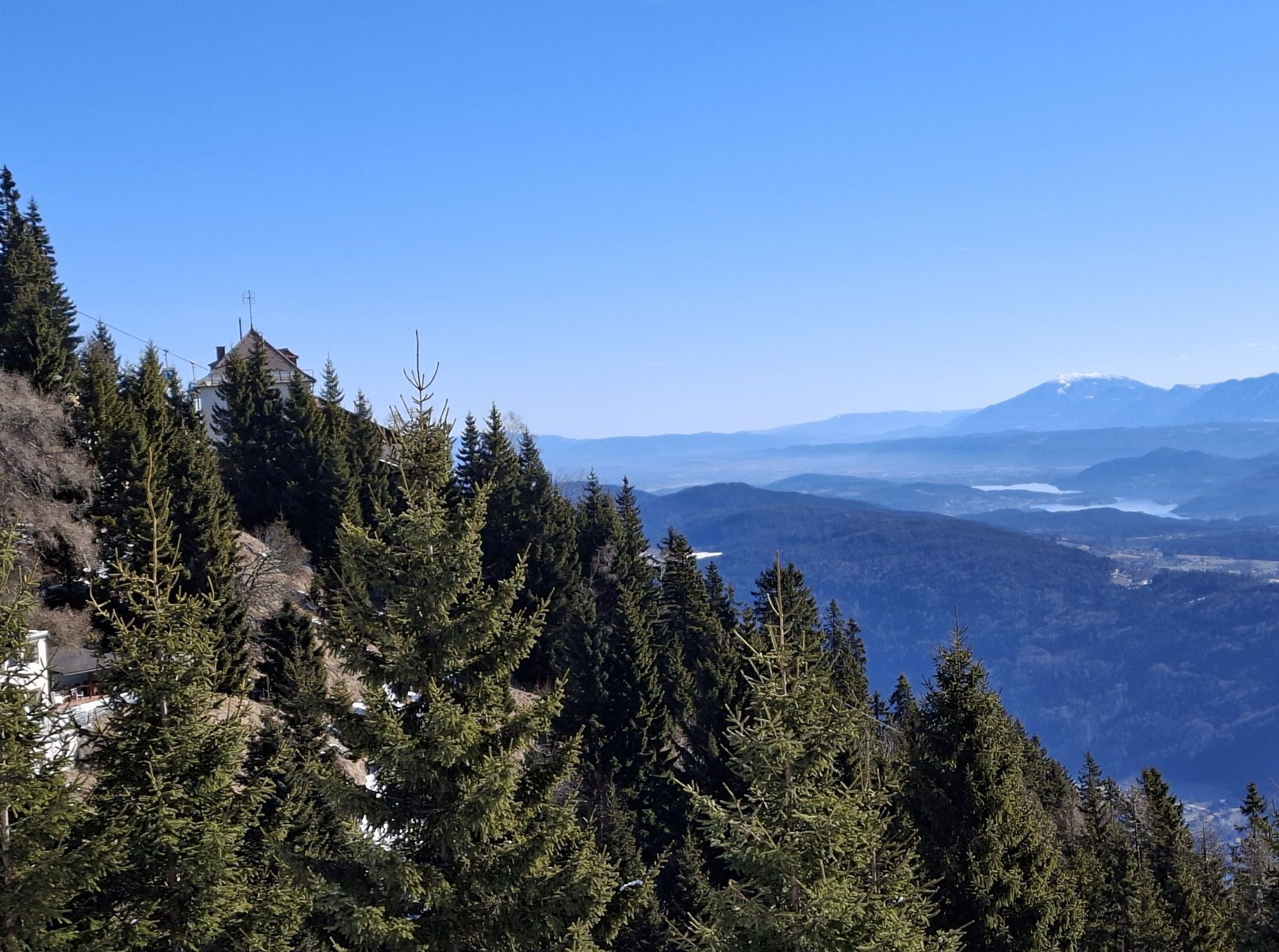
Then, the wide grassy forest road along the edge of the high ropes course leads to Schneegrube. The particularity of the Schneegrube was already in the past the crossing of several paths. Here you need to pay attention briefly to which path you take. You cross the slope again and do not take the rooty steeper path to the observatory but the only slightly uphill forest road until you reach the asphalt road again.
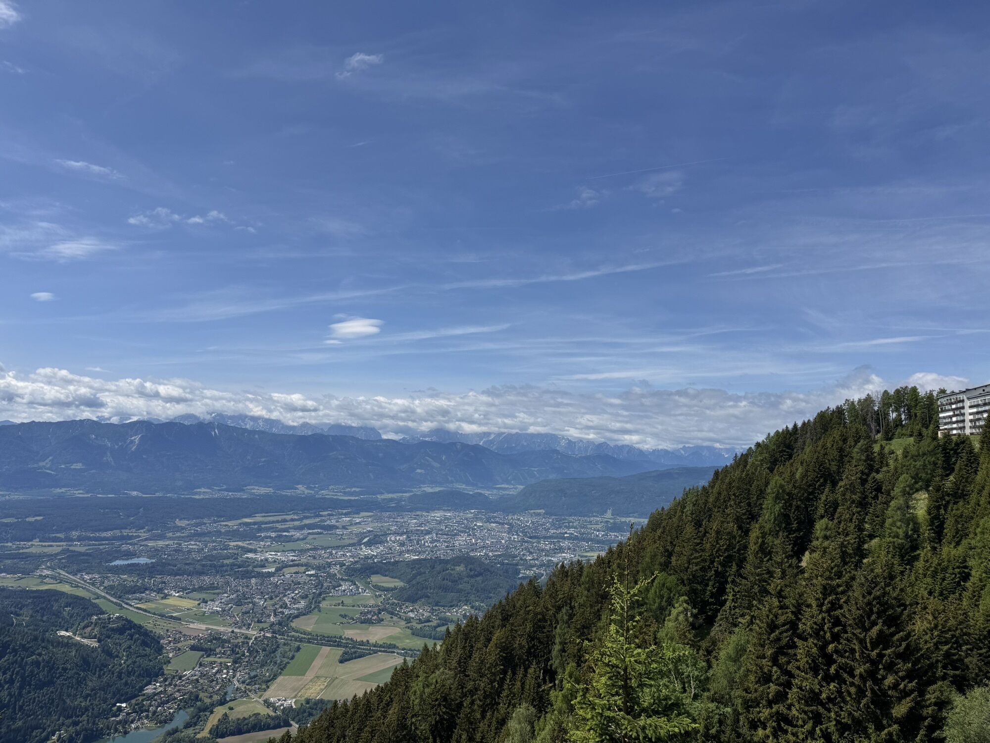
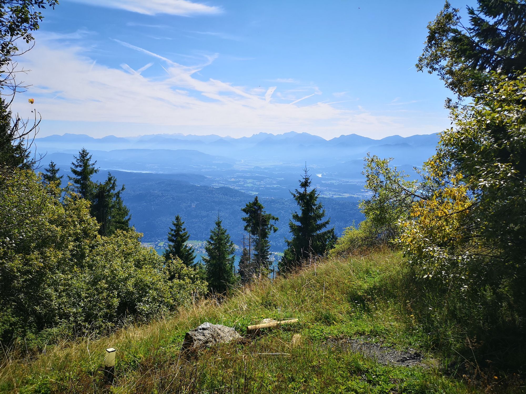
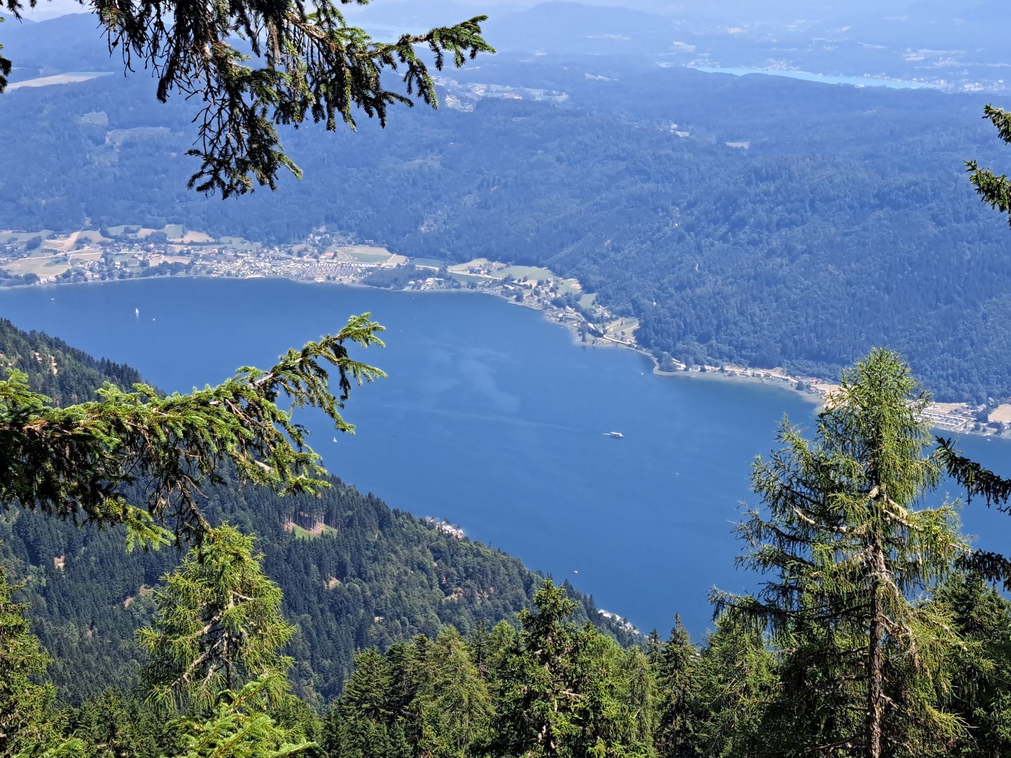
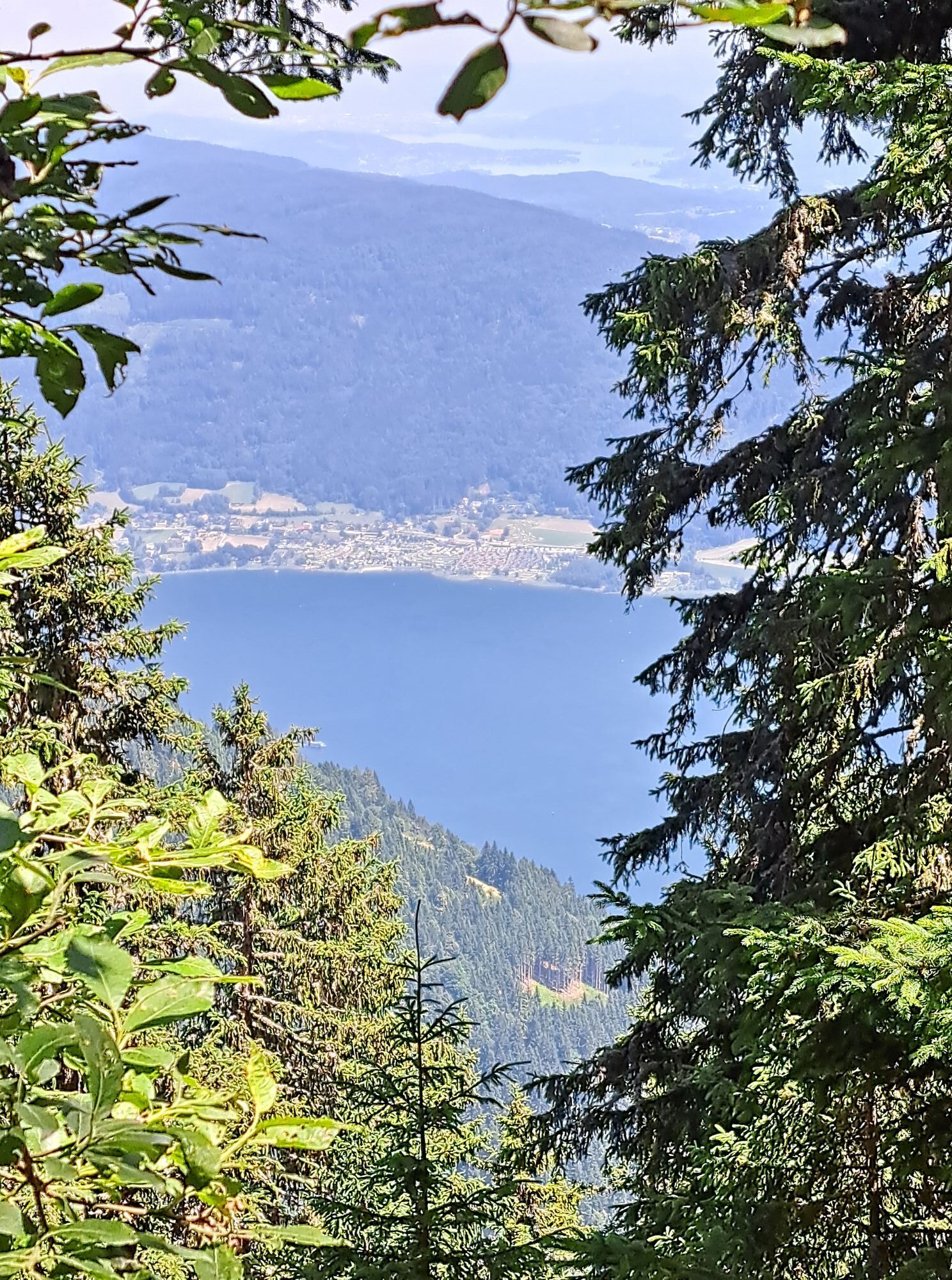
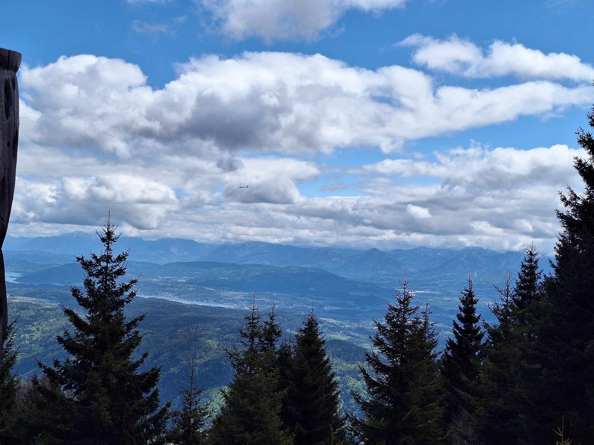
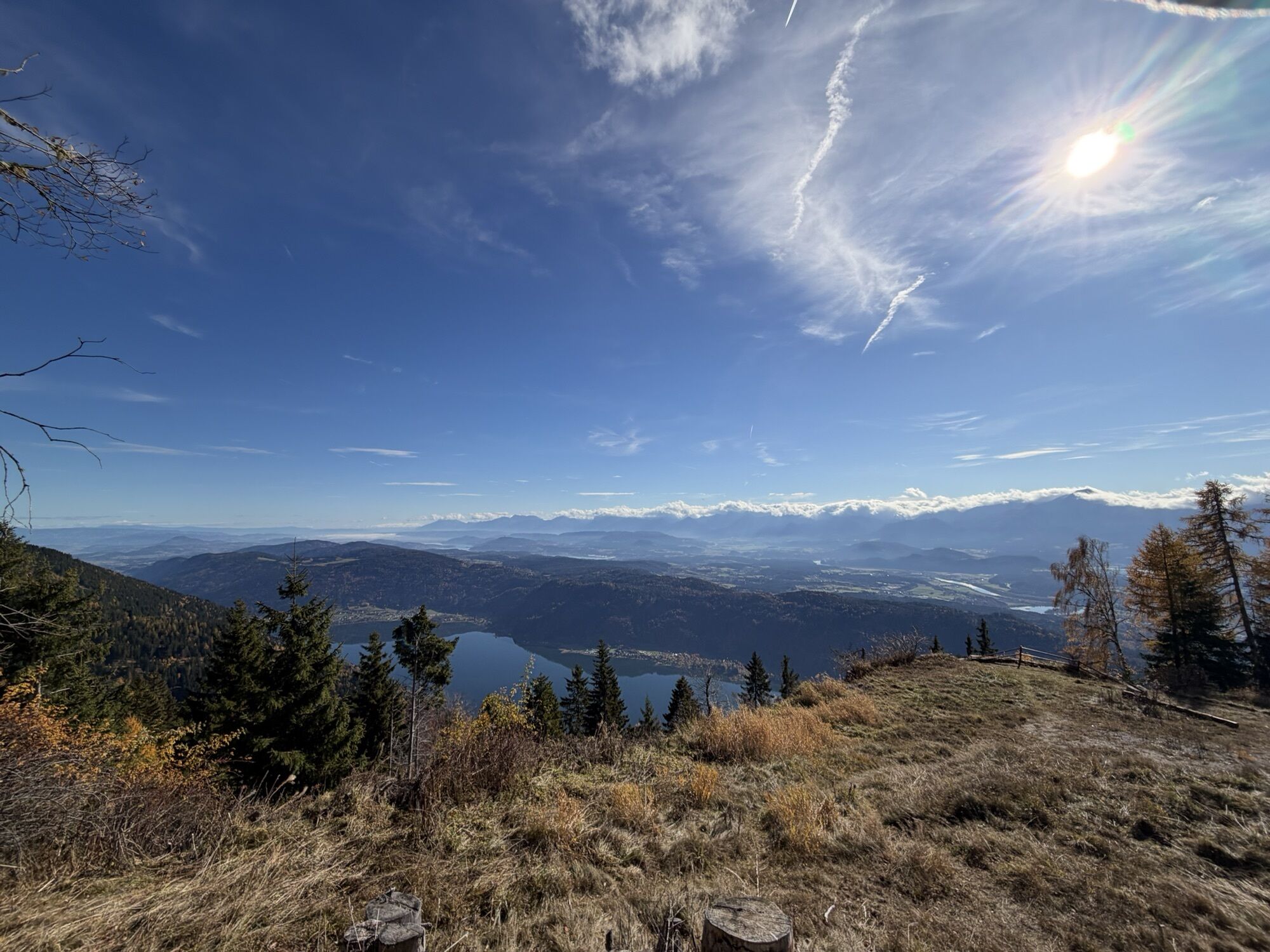
Turning left, in a few minutes you reach the sun as the central star, thematically corresponding to the impressive solar observatory, whose building envelope is a listed monument. Although the term Kanzelhöhe covers a larger area, the geographical point with 1524 m is actually located here at the observatory.
The descent back to the starting point takes a few minutes along the asphalt road. Please watch out for children here!
Áno
Áno
Áno
Light hiking shoes with tread sole, backpack, change of clothes, rainwear, hiking poles, food and drinks, map material, first aid & smartphone
Suitable for normal strollers and wheelchair users is the first half of the path up to Waldtratte.
For outdoor strollers, the entire path is suitable.
On the asphalt road between the observatory and the parking lot Kanzelhöhe, there may be traffic caused by forest or house owners. It goes without saying that special attention must be paid to children here.
The path is equipped with standardized signage of the Austrian/German Alpine Club supplemented with the logo sticker of the theme path.
The starting point is accessible via the Kanzelbahn Gerlitzen (Annenheim) or via the toll Gerlitzen road (drive up Treffen).
The valley station of the Kanzelbahn is easily accessible by public transport.
Parking spaces are available at the valley station of the Kanzelbahn and directly at Kanzelhöhe (ALPSRESORT).
T1
Tours:
October to February on Wednesdays and Sundays in sunshine at 1 p.m. March to September on Wednesdays and Sundays in sunshine at 2 p.m. Groups of 5 or more persons are asked to make a telephone inquiry (+43 664 88546079)Exhibition room:
Open daily from 9 a.m. to 3 p.m. with free admissionObľúbené výlety v okolí
-
4,4
Finsterbach Waterfalls - Circular route
strednáTuristika 3,87 km -
4,4
Lake circular trail
svetloNordic Walking 9,85 km -
4,2
Slow Trail Bleistätter Moor (Variant A)
svetloTuristika 7,22 km -
4,9
4 Huts route
strednáTuristika 8,96 km -
5,0
Amberg: Palnock 1901m, Schwarzsee, Rundstrecke
strednáTuristika 7,94 km -
4,0
Schwarzsee circular hiking trail
strednáTuristika 7,79 km -
3,9
Lake Ossiacher See cycle path – R2 & R2A
strednáCyklistika 28,2 km -
3,8
Forstsee Route
svetloTuristika 4,26 km -
4,5
Wasserfälle
strednáTuristika 2,48 km -
4,5
Oswaldiberg St.Ruprecht
strednáTuristika 6,69 km

Turistika a stopovanie


Nenechajte si ujsť ponuky a inšpiráciu na ďalšiu dovolenku
Vaša e-mailová adresa bol pridaný do poštového zoznamu.