







Hochweißsteinhaus (via Frohn)
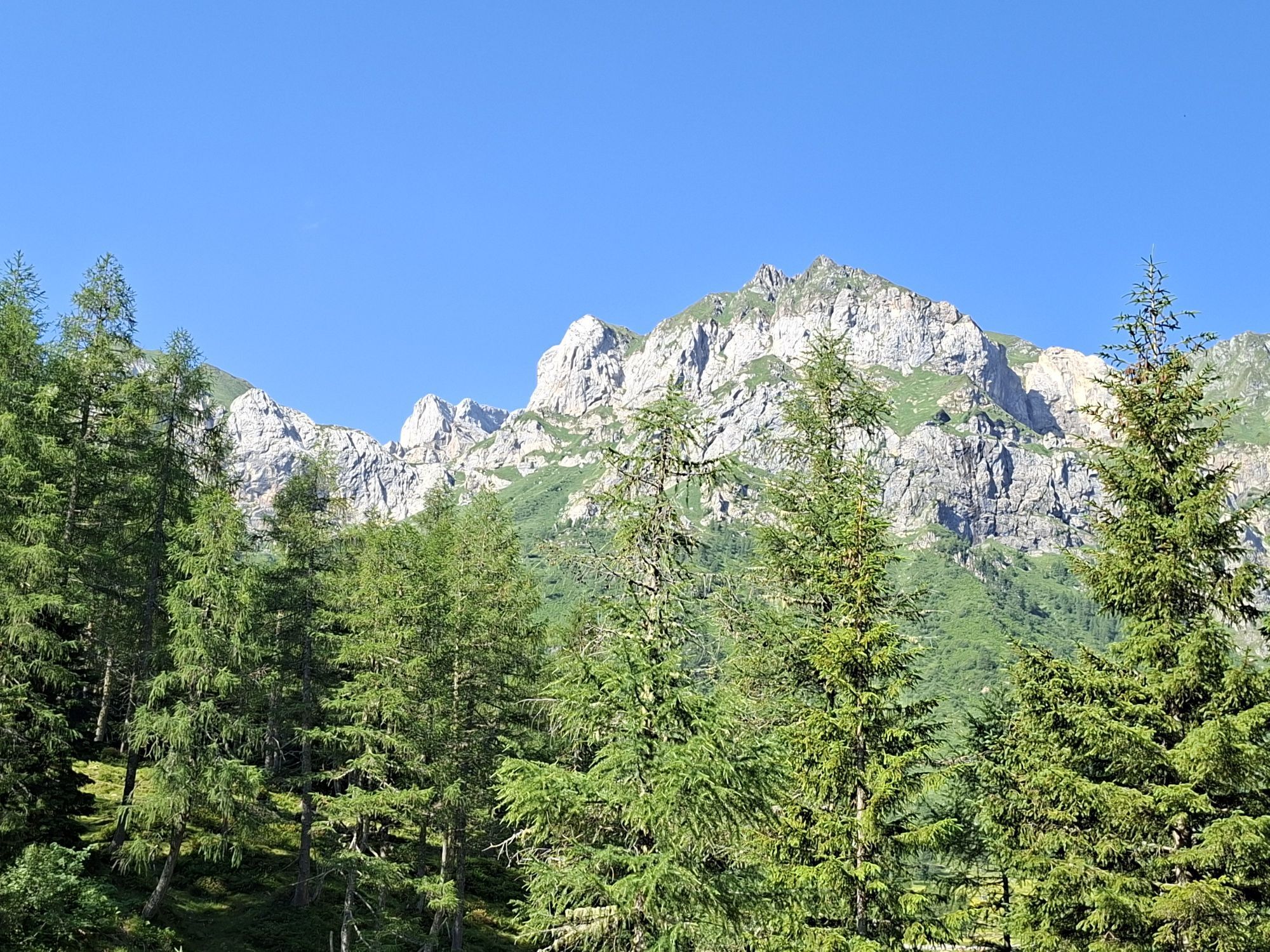
Beautiful route in untouched nature with refreshment opportunities, historical sights
Attention: Please inquire about the current trail and weather conditions before each route!
Walking time round trip...
Beautiful route in untouched nature with refreshment opportunities, historical sights
Attention: Please inquire about the current trail and weather conditions before each route!
Walking time round trip approx. 5 hrs = 10 points
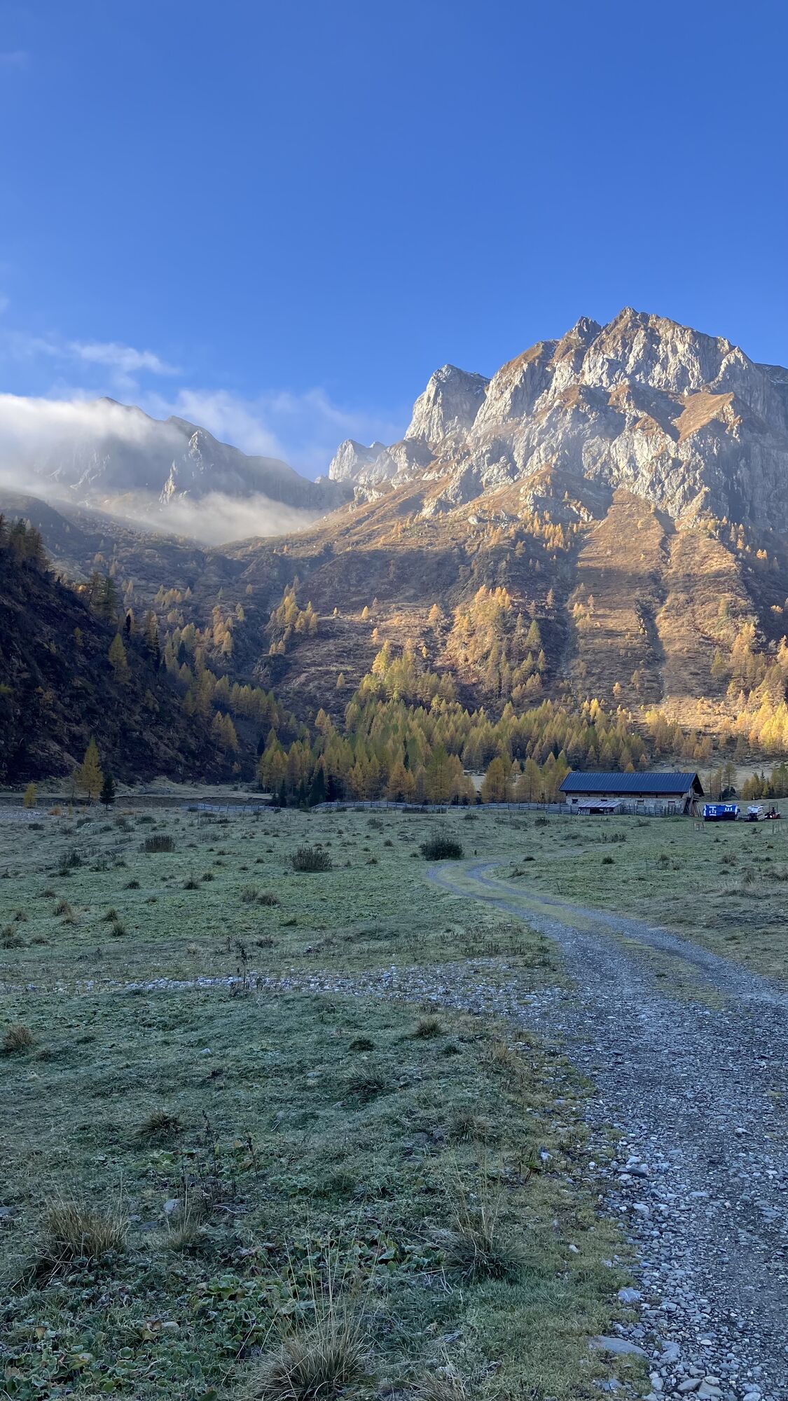
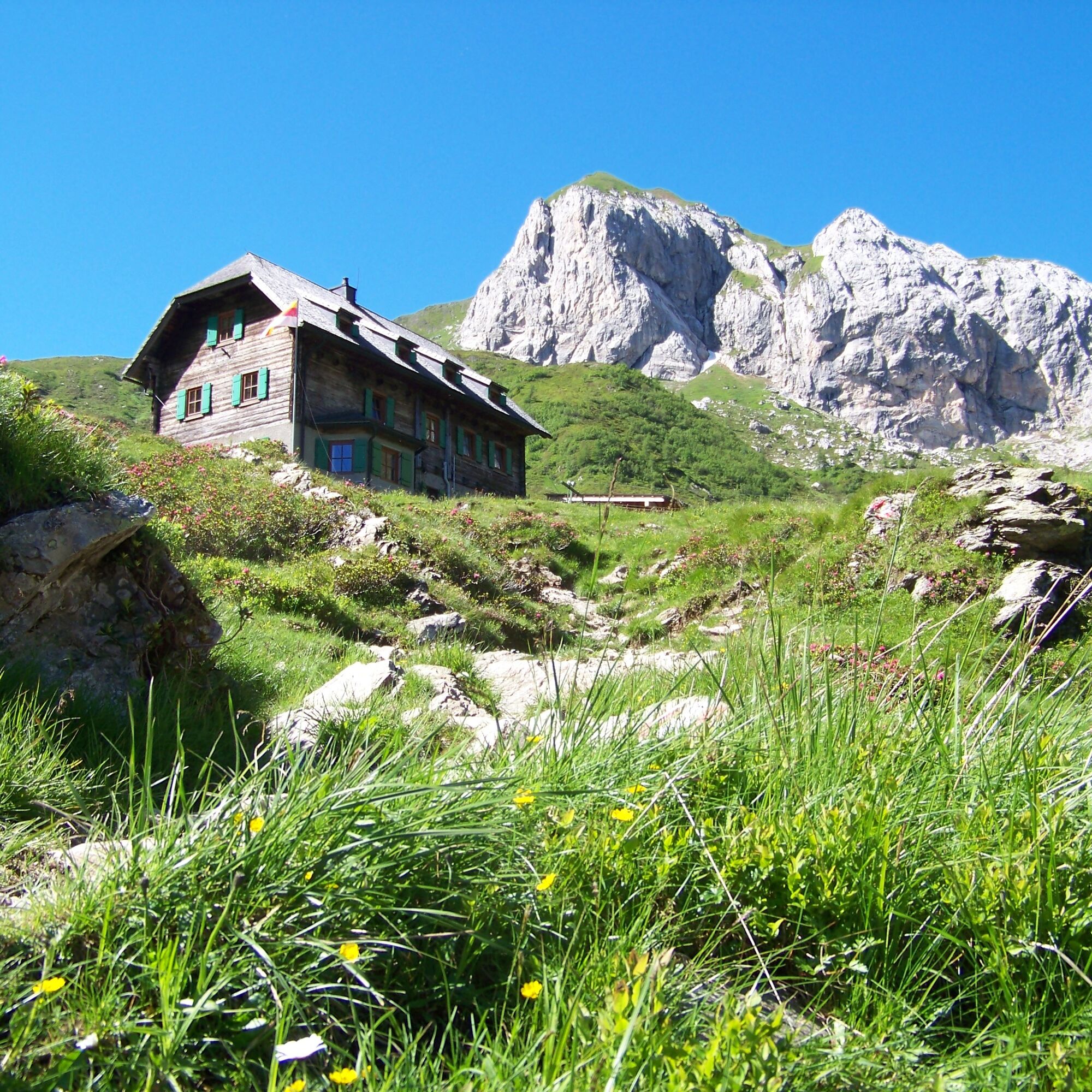
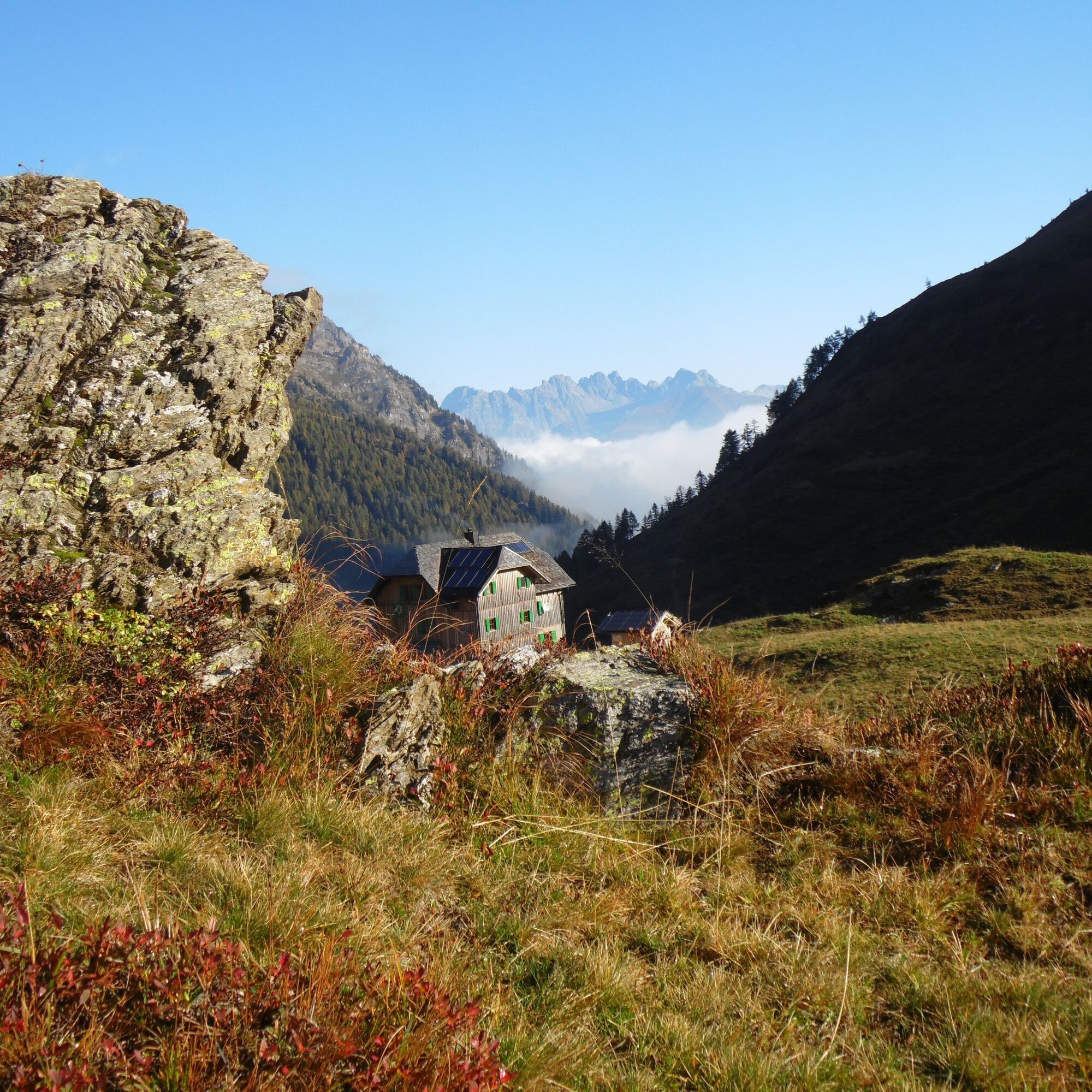
From St. Lorenzen, drive west on the federal road towards Wiesen and turn left there to Frohn. You drive on the paved road to the first big curve (junction to Oberfrohn). In this curve, the path branches off to the Frohn valley and to the Hochweißsteinhaus to the left. We recommend leaving the car here. Follow this path now for about 2 hours to the Ingridhütte (alpine hut). On the way to the Ingridhütte, look out for the magnificent view you get shortly after the gate of Monte Peralba (Hochweißstein), Hochalpl and Weißsteinspitze. Passing the parking lot with barriers, you will soon reach the Ingridhütte, from where you see your destination for the first time. Over alpine meadows and small streams, after another 40 minutes of walking, you will reach the Hochweißsteinhaus located at 1900 m altitude. After about 2.5 to 3 hours of walking from the junction in Frohn, you can already rest at the alpine club hut. Worthwhile is also the short trip to the Öfnerjoch (state border), from where you have a magnificent view over the Fleon valley into the Wolayer mountains. The hut stamp of the Hochweißsteinhaus serves as a control stamp.
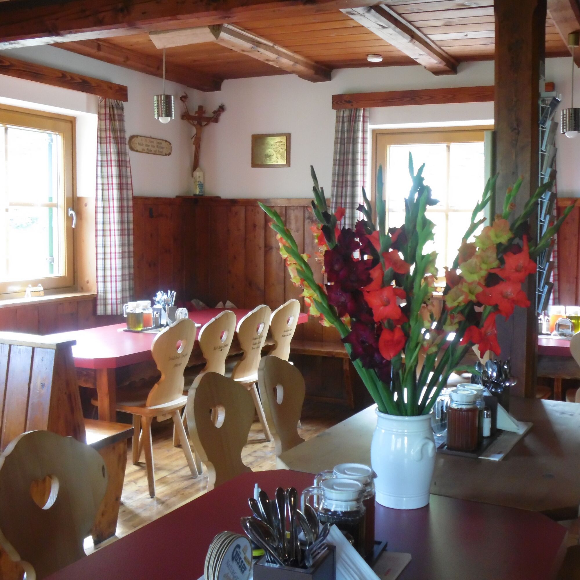
Here you find the information about the mountain hut "Hochweißsteinhaus"



Attention: Please inquire about the current trail and weather conditions before each route!
Walking time round trip approx. 5 hrs = 10 points
From St. Lorenzen, drive west on the federal road towards Wiesen and turn left there to Frohn. You drive on the paved road to the first big curve (junction to Oberfrohn). In this curve, the path branches off to the Frohn valley and to the Hochweißsteinhaus to the left. We recommend leaving the car here. Follow this path now for about 2 hours to the Ingridhütte (alpine hut). On the way to the Ingridhütte, look out for the magnificent view you get shortly after the gate of Monte Peralba (Hochweißstein), Hochalpl and Weißsteinspitze. Passing the parking lot with barriers, you will soon reach the Ingridhütte, from where you see your destination for the first time. Over alpine meadows and small streams, after another 40 minutes of walking, you will reach the Hochweißsteinhaus located at 1900 m altitude. After about 2.5 to 3 hours of walking from the junction in Frohn, you can already rest at the alpine club hut. Worthwhile is also the short trip to the Öfnerjoch (state border), from where you have a magnificent view over the Fleon valley into the Wolayer mountains. The hut stamp of the Hochweißsteinhaus serves as a control stamp.
Here you find the information about the mountain hut "Hochweißsteinhaus"
sturdy footwear, drinking fluids
Coming from the east: Via Kötschach-Mauthen into Lesachtal and further to St. Lorenzen, after the big bridge turn left towards Frohn
Coming from the west: Via Sillian (Tassenbach) into Lesachtal and further to Maria Luggau - continue to Wiesen, then turn right towards Frohn
Public transport available to St. Lorenzen in Lesachtal. Afterwards, there is the possibility of taxi transport towards Frohntal to the starting point of the hiking route: Taxi Wilhelmer Tel.: 0043 (0) 4716 306
Frohntal (please ensure your parked car does not obstruct anyone)
-> Refreshment at the Hochweißsteinhaus
-> For history enthusiasts: Path of Remembrance (First World War)
 Získajte prehľad
Vždy naživo na mieste s viac ako 9 500 webovými kamerami. bergfex Ako používateľ Pro si teraz môžete pozrieť príslušné webové kamery pre mnohé zájazdy v aplikácii zájazdy z. Môžete si tak priamo prezerať aktuálne podmienky.
Získajte prehľad
Vždy naživo na mieste s viac ako 9 500 webovými kamerami. bergfex Ako používateľ Pro si teraz môžete pozrieť príslušné webové kamery pre mnohé zájazdy v aplikácii zájazdy z. Môžete si tak priamo prezerať aktuálne podmienky.
Aktivity počas prehliadky


Obľúbené výlety v okolí
-
4,7
Karlsbader Hütte über Rudl-Eller-Weg
ťažkéTuristika 5,10 km -
4,5
Karnischer Höhenweg – Etappe 4: Hochweißsteinhaus – Wolayersee Hütte
ťažkédiaľková pešia trasa 15,9 km -
4,8
Lienzer Dolomiten-Lasertörl
strednáTuristika 13,2 km -
4,7
Karlsbader Hütte
strednáMountainbike 13,4 km -
4,5
Obergail - Obergailer Alm - Obergailer Lake - Enderberg hut - Source for Health & Peace - Madonna circular hiking route - Obergail
strednáTuristika 11,4 km -
4,0
Karlsbader Hütte - Lienzer Dolomiten
Turistika 8 km -
4,4
Mountain bike route from the Hubertus Chapel to the Wolayersee
ťažkéMountainbike 9,06 km -
4,8
Klammbrückl - Kerschbaumeralm - Spitzkofel
ťažkéTuristika 8,71 km -
4,9
Karnischer Hauptkamm - Hohe Warte 2.780m - Hike and Bike
ťažkéHorská turistika 19,5 km -
4,4
Connyalm (2.070 m)
Turistika 6,36 km

Turistika a stopovanie


Nenechajte si ujsť ponuky a inšpiráciu na ďalšiu dovolenku
Vaša e-mailová adresa bol pridaný do poštového zoznamu.





