






Mittagskofel
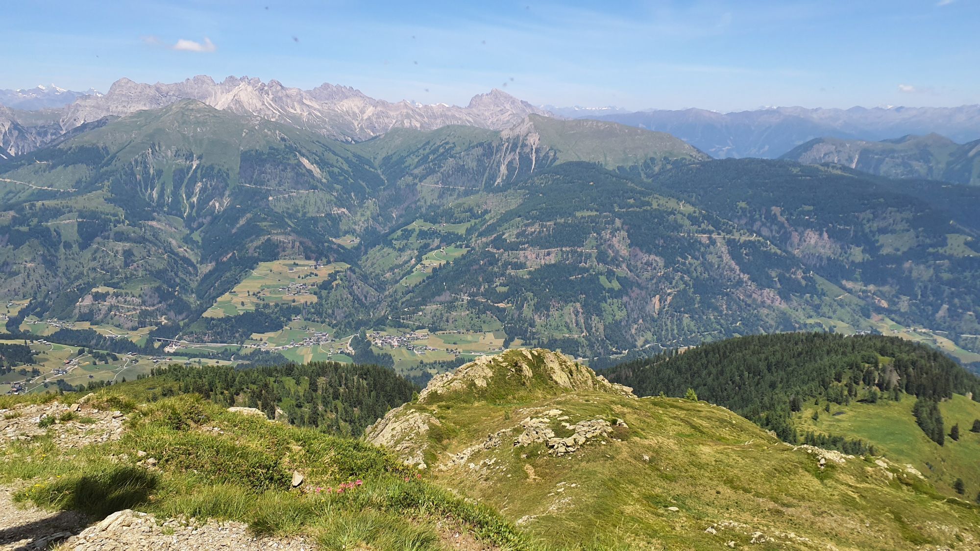
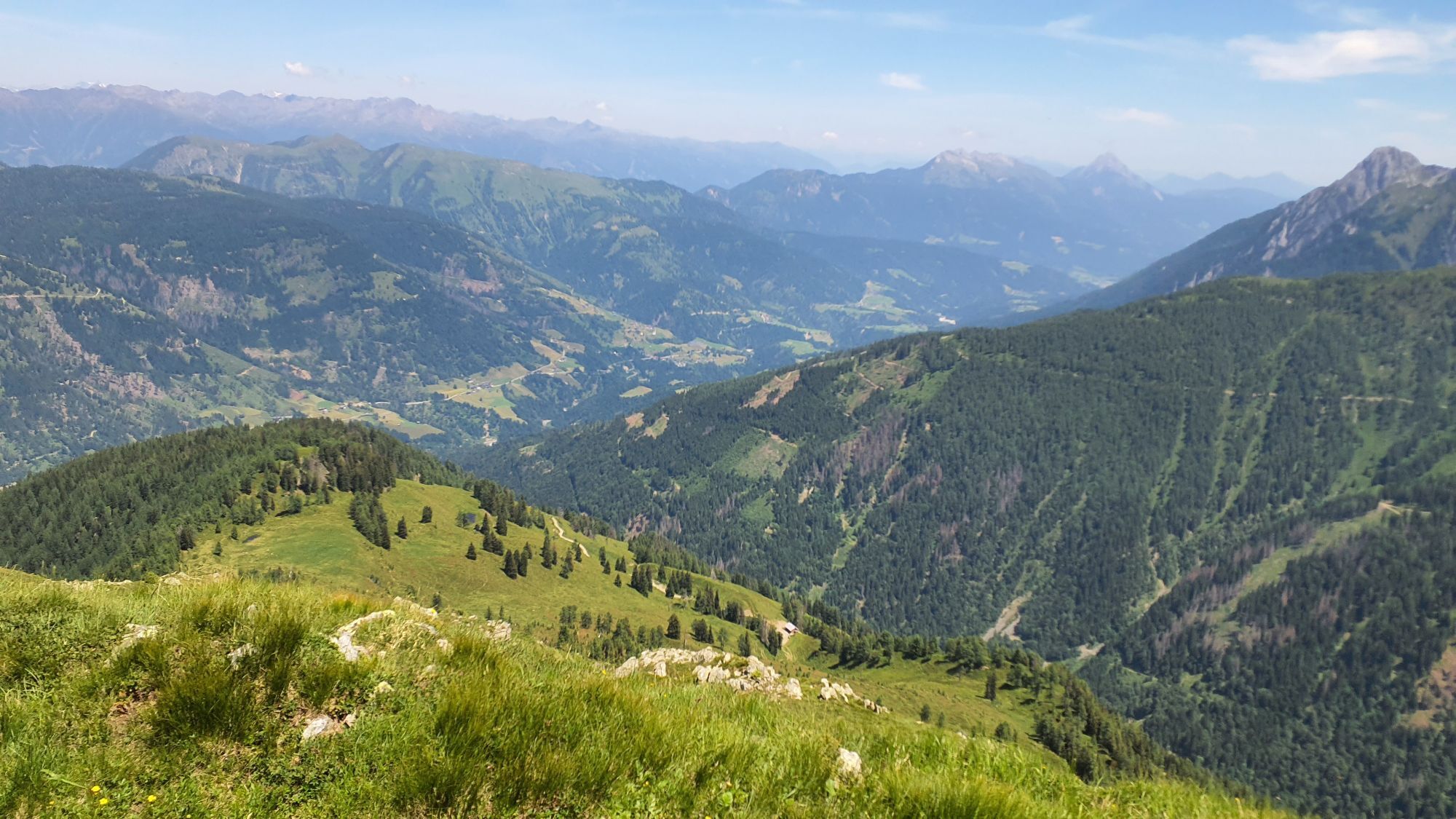
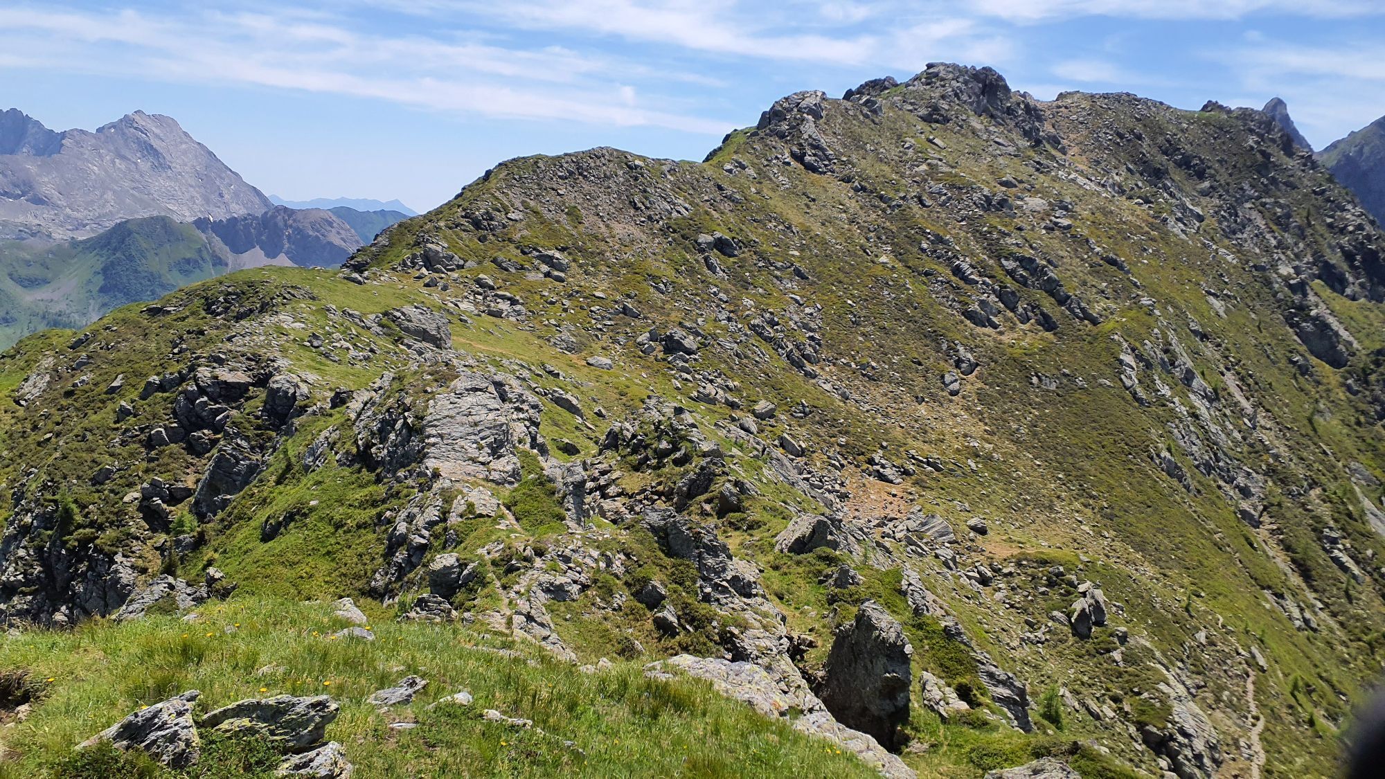
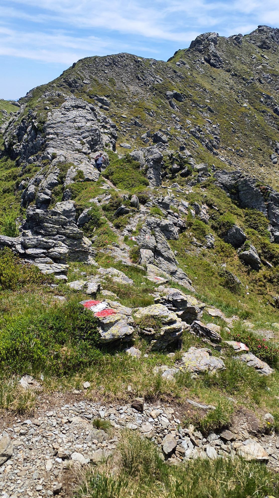



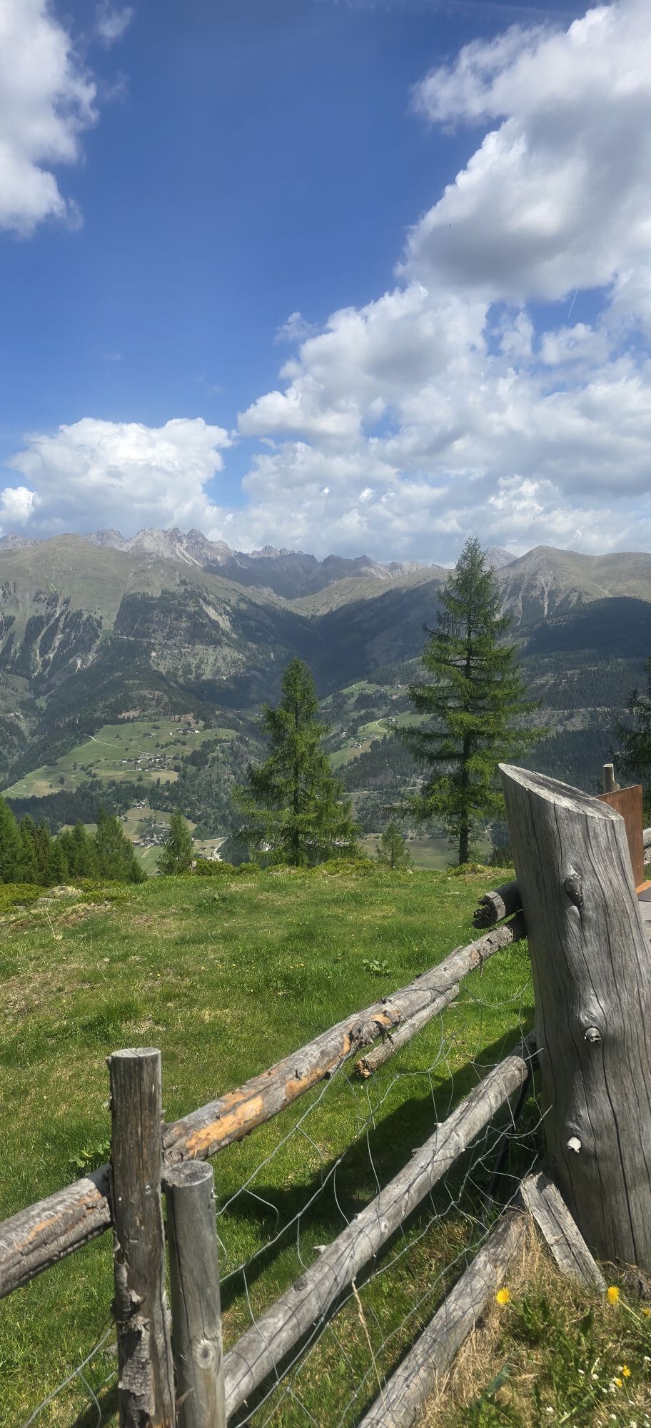
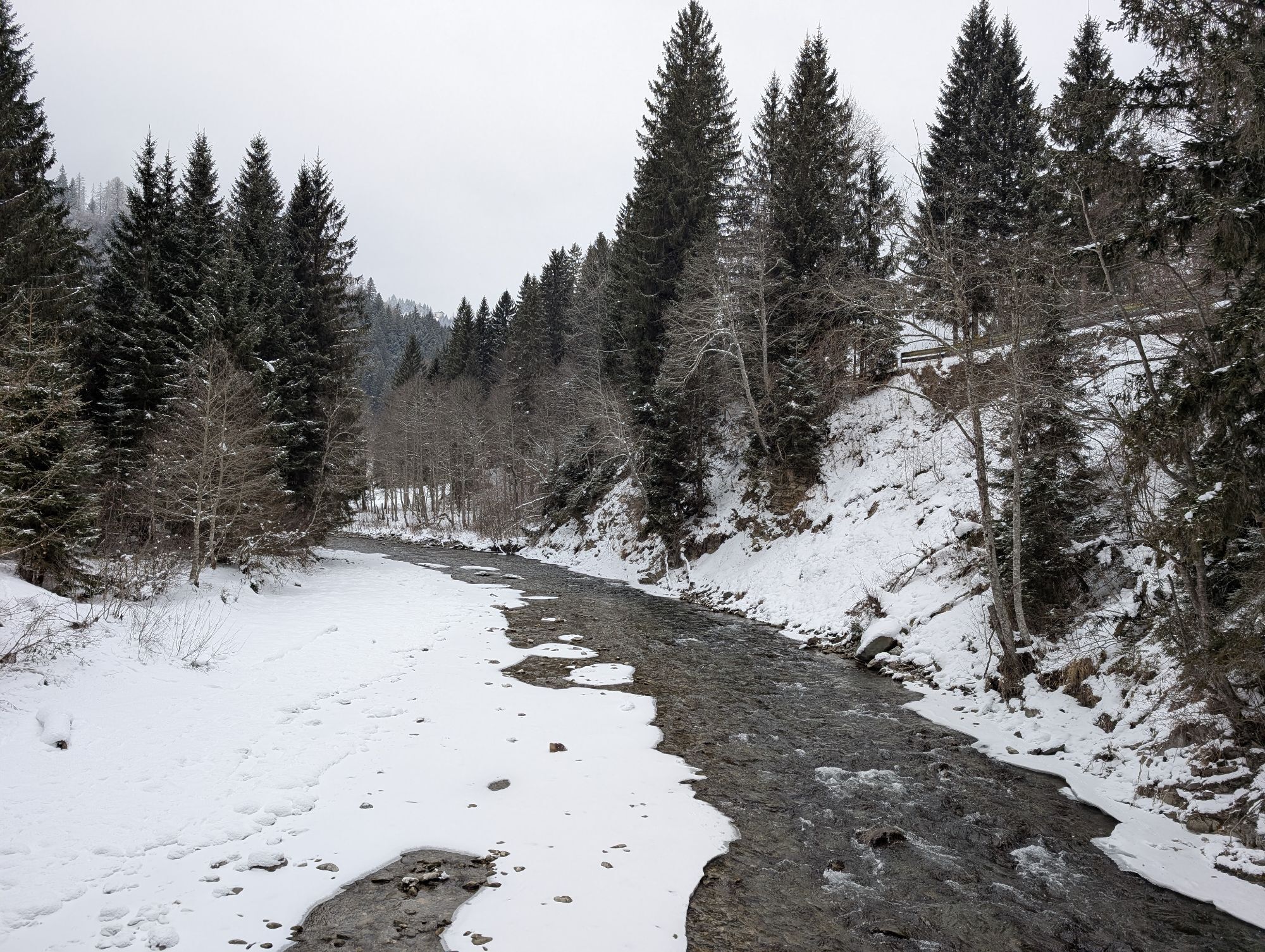
Walking time round trip approx. 7 hours = 14 points
If you want to make a day trip, one of many options is a mountain route to Mittagskofel.
Option 1: The route starts in Obergail, from there you hike...
Walking time round trip approx. 7 hours = 14 points
If you want to make a day trip, one of many options is a mountain route to Mittagskofel.
Option 1: The route starts in Obergail, from there you hike about 45 minutes to Steineckenalm (continuation below)
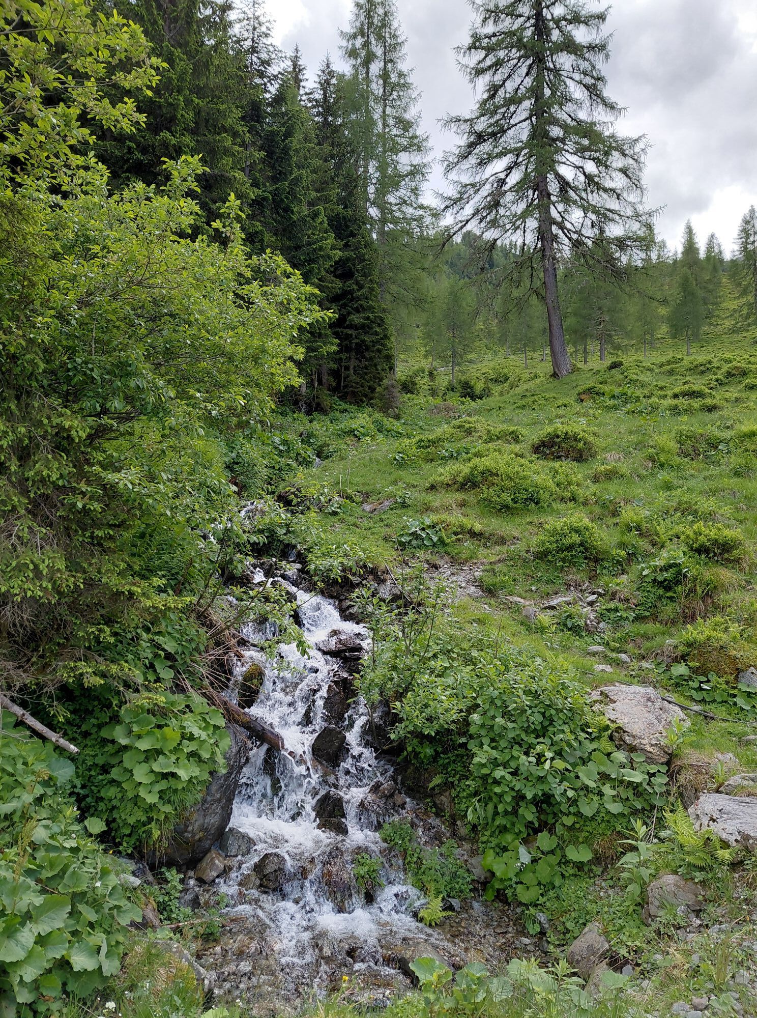
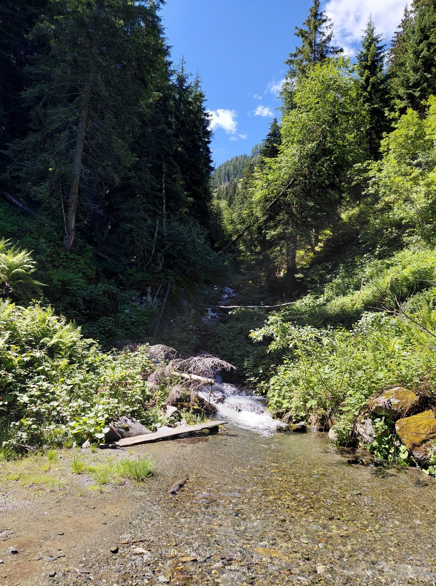
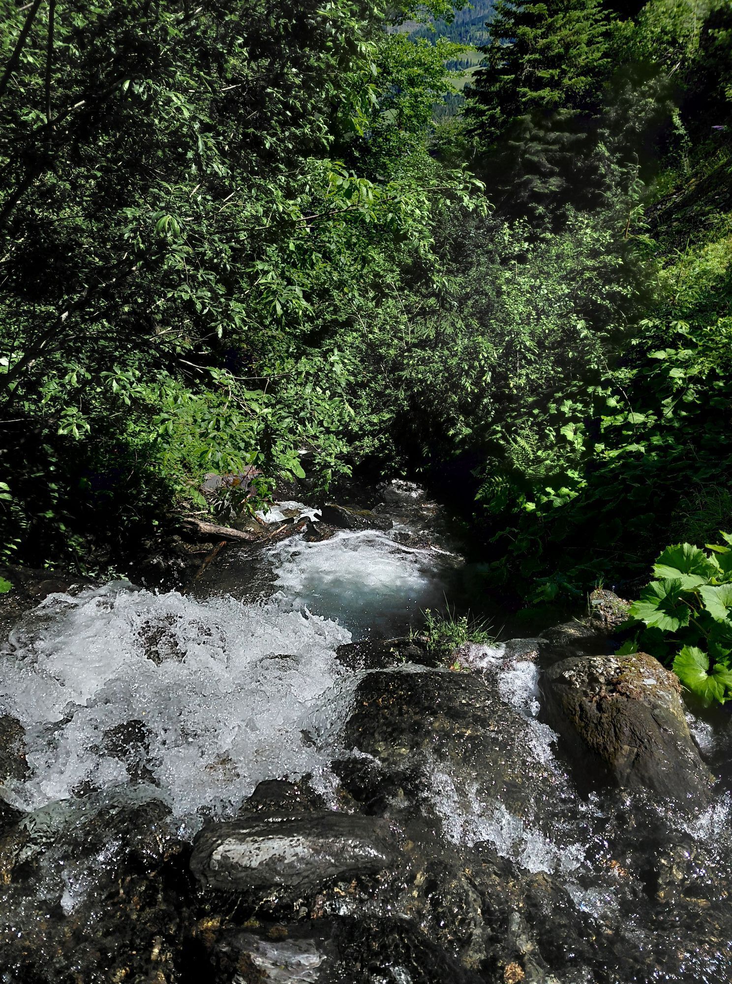
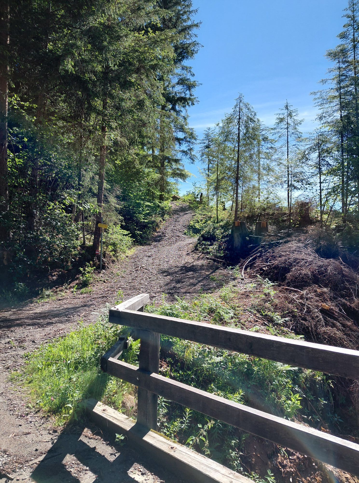
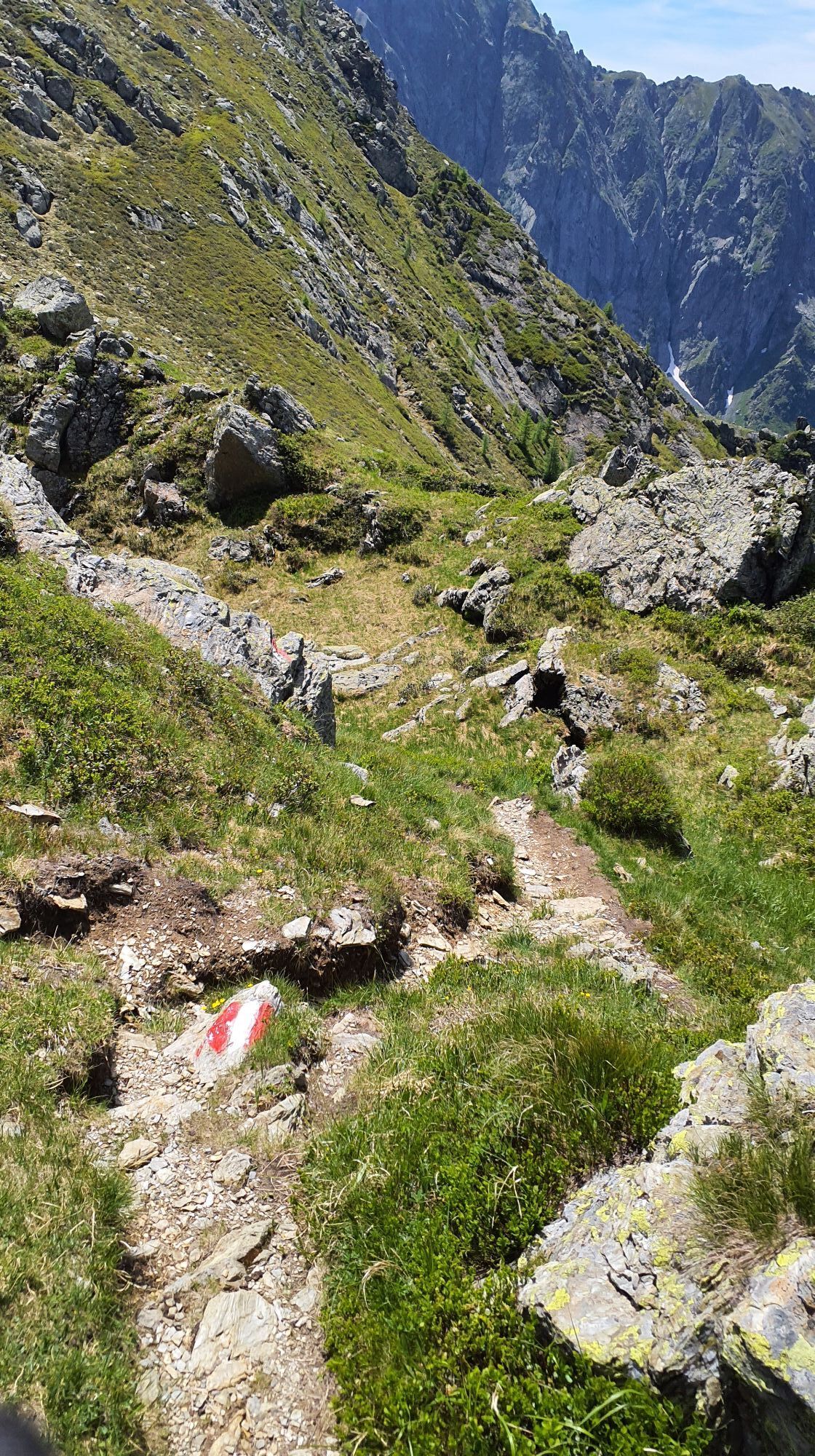
Option 2: The path to Mittagskofel begins between Liesing and Klebas in the Liesingergraben (cultural and recreational area). From there down to the Gail bridge. About 40 m south of the Gail bridge is a signboard indicating the path to Steineckenalm and Mittagskofel. A narrow, red-white marked trail then leads up the slope. After about 40 minutes of walking time, you will find a spring and a resting bench to the right of the path. Further up, at the beginning of Steineckenalm, there is a pasture gate (pasture barrier) which should be closed again afterwards.
Warning: Please inquire about the current trail and weather conditions before every route!

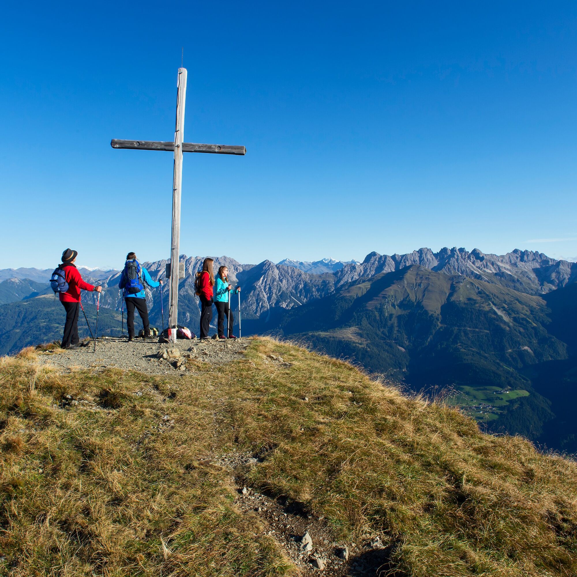
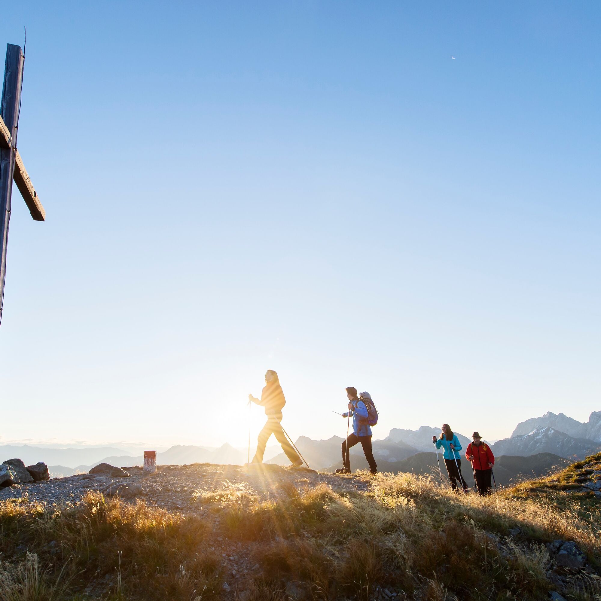

Walking time round trip approx. 7 hours = 14 points
If you want to make a day trip, one of many options is a mountain route to Mittagskofel.
Option 1: The route starts in Obergail, from there you hike about 45 minutes to Steineckenalm (continuation below)
Option 2: The path to Mittagskofel begins between Liesing and Klebas in the Liesingergraben (cultural and recreational area). From there down to the Gail bridge. About 40 m south of the Gail bridge is a signboard indicating the path to Steineckenalm and Mittagskofel. A narrow, red-white marked trail then leads up the slope. After about 40 minutes of walking time, you will find a spring and a resting bench to the right of the path. Further up, at the beginning of Steineckenalm, there is a pasture gate (pasture barrier) which should be closed again afterwards.
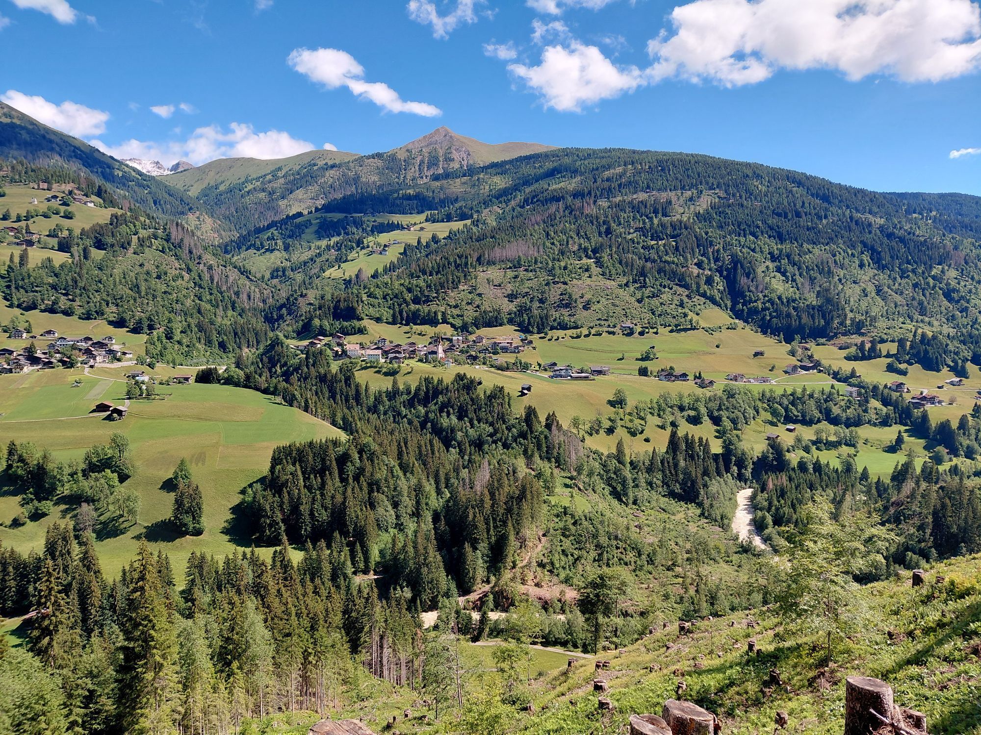
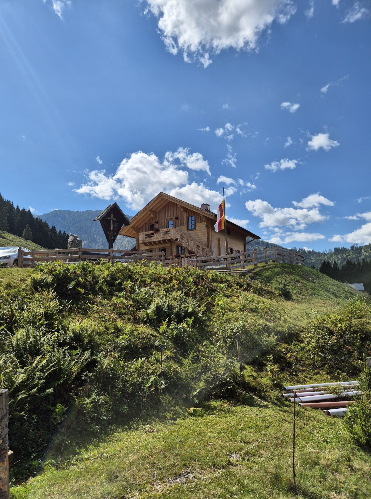
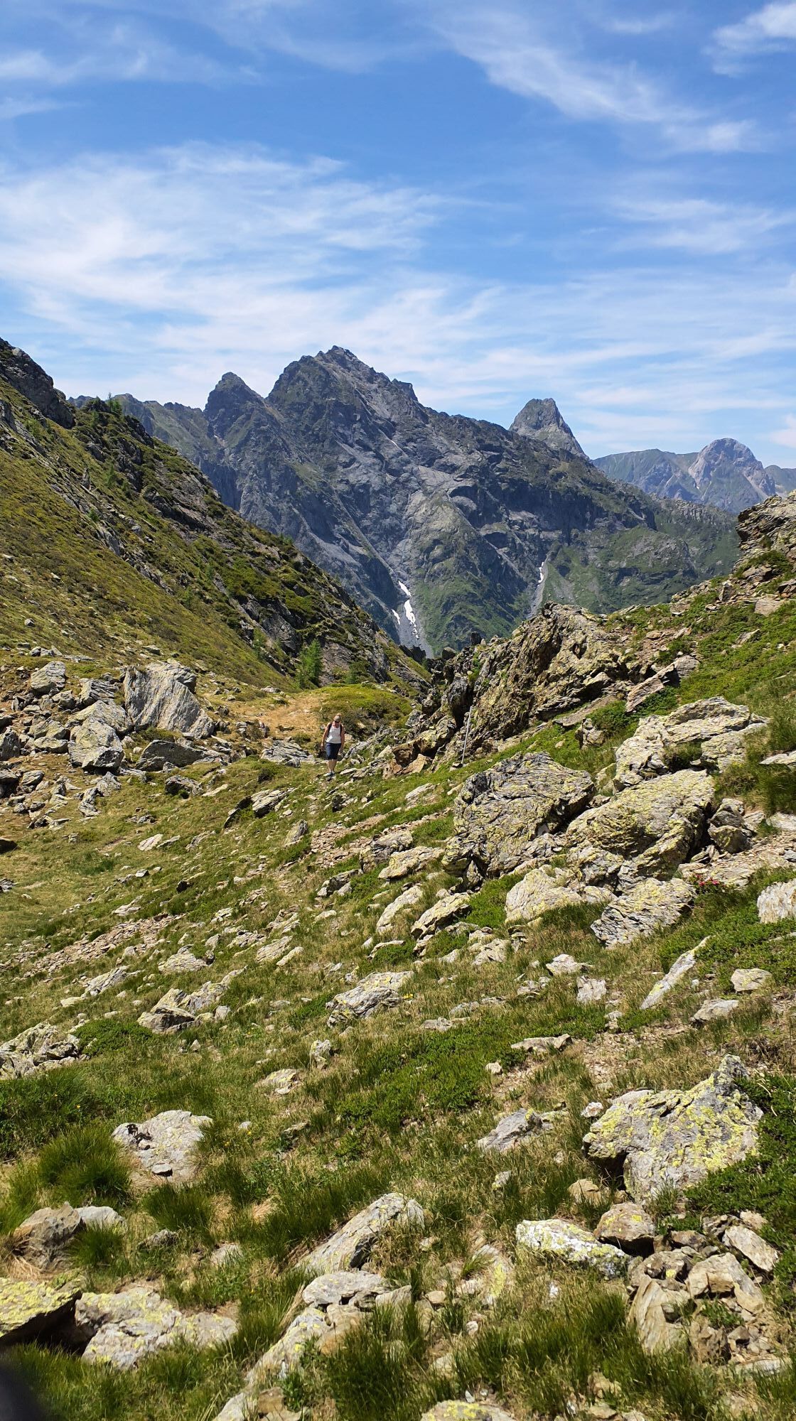
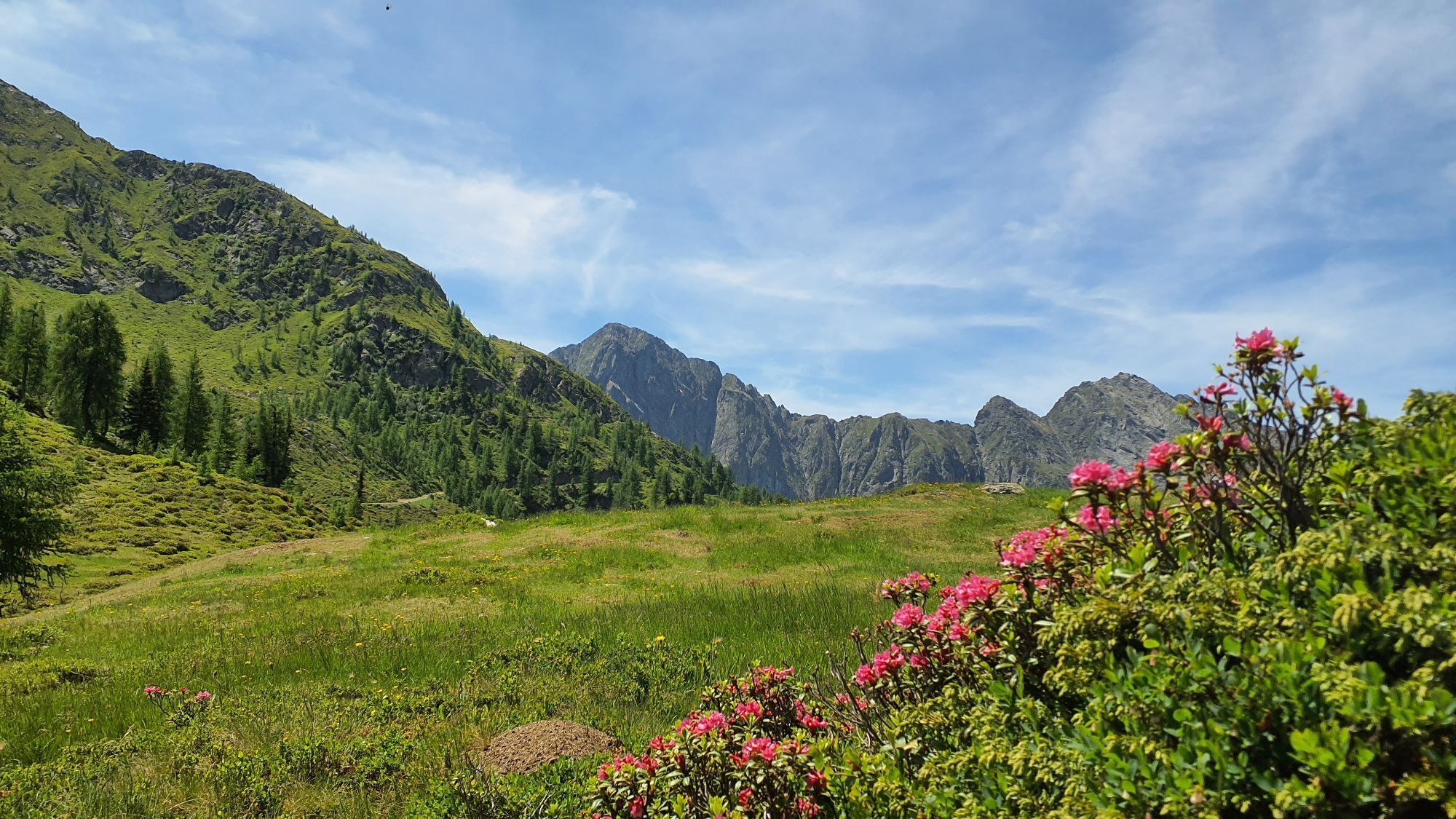
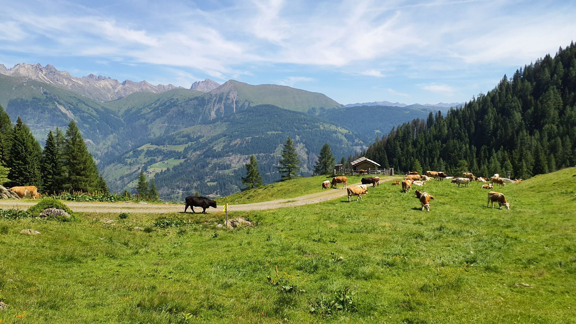
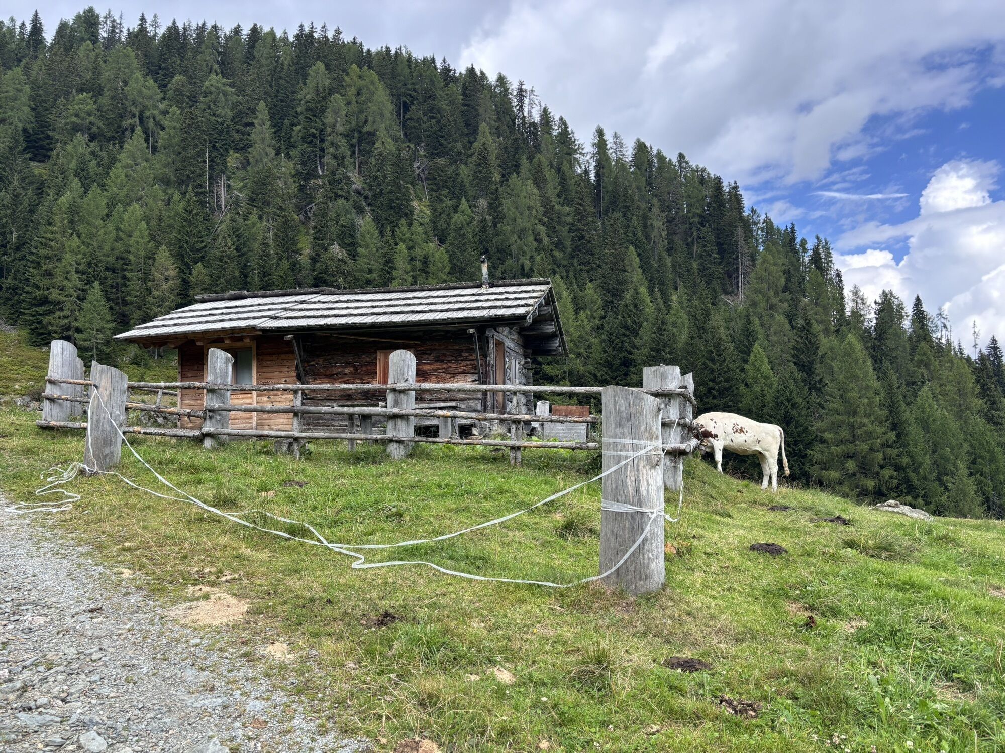
Now you have reached Steineckenalm with its wonderful drinking water, the resting benches and the beautiful view of the sunny side of the valley. At the southwest corner of the alpine hut at Steineckenalm is the next signpost to Mittagskofel, and a wide path leads eastward to the crossing of the Kosenbach stream, and just beside this stream the red-white marked narrow trail winds up the slope, winding about 5 m to 150 m away from the stream. After about 2 hours of walking time, you reach Bödenalm and find a small alpine hut there. The trail changes its direction 200 m above Bödenalm (from south to southwest) and at the place of the direction change you find a spring.
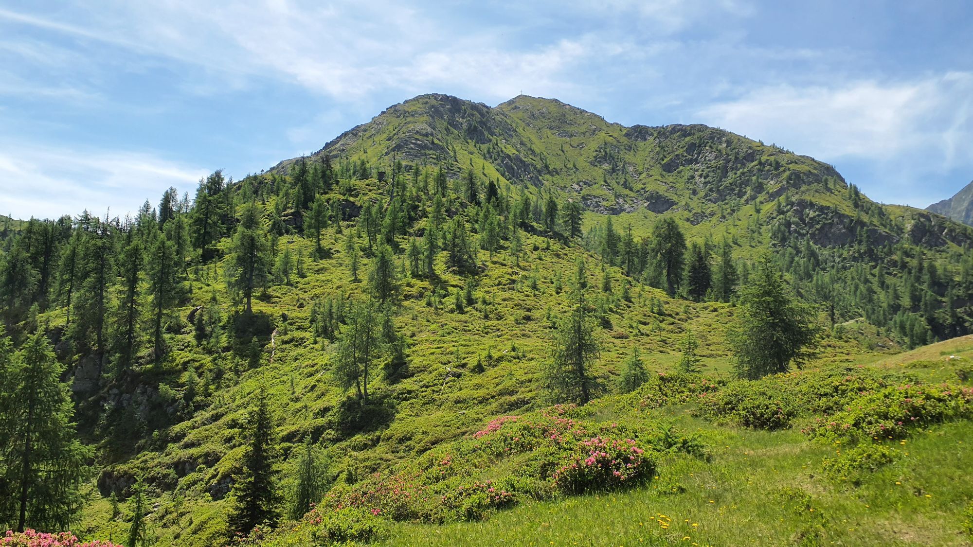
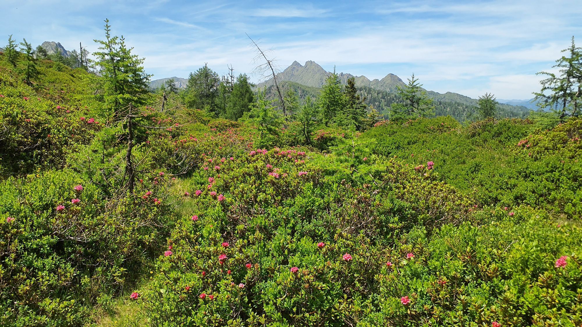
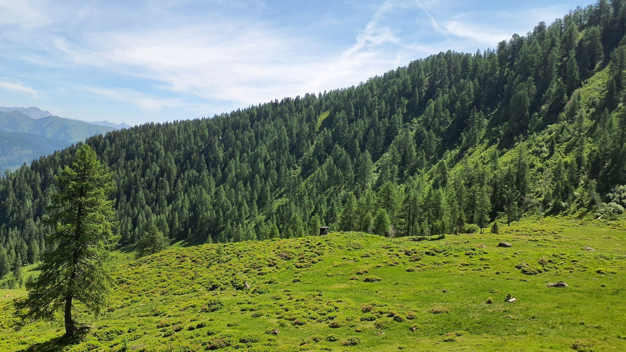
The next alpine pasture you reach is Käserfeldalm, but the route to Mittagskofel passes about 200 m to the left of the alpine hut there. At the foot of Mittagskofel, the path changes direction again; it leads westward to Fleckenalm.
Deep down in a wide hollow, you can see the aluminum roof of the Fleckenalm hut glittering. The last section of Mittagskofel is climbed from the west.
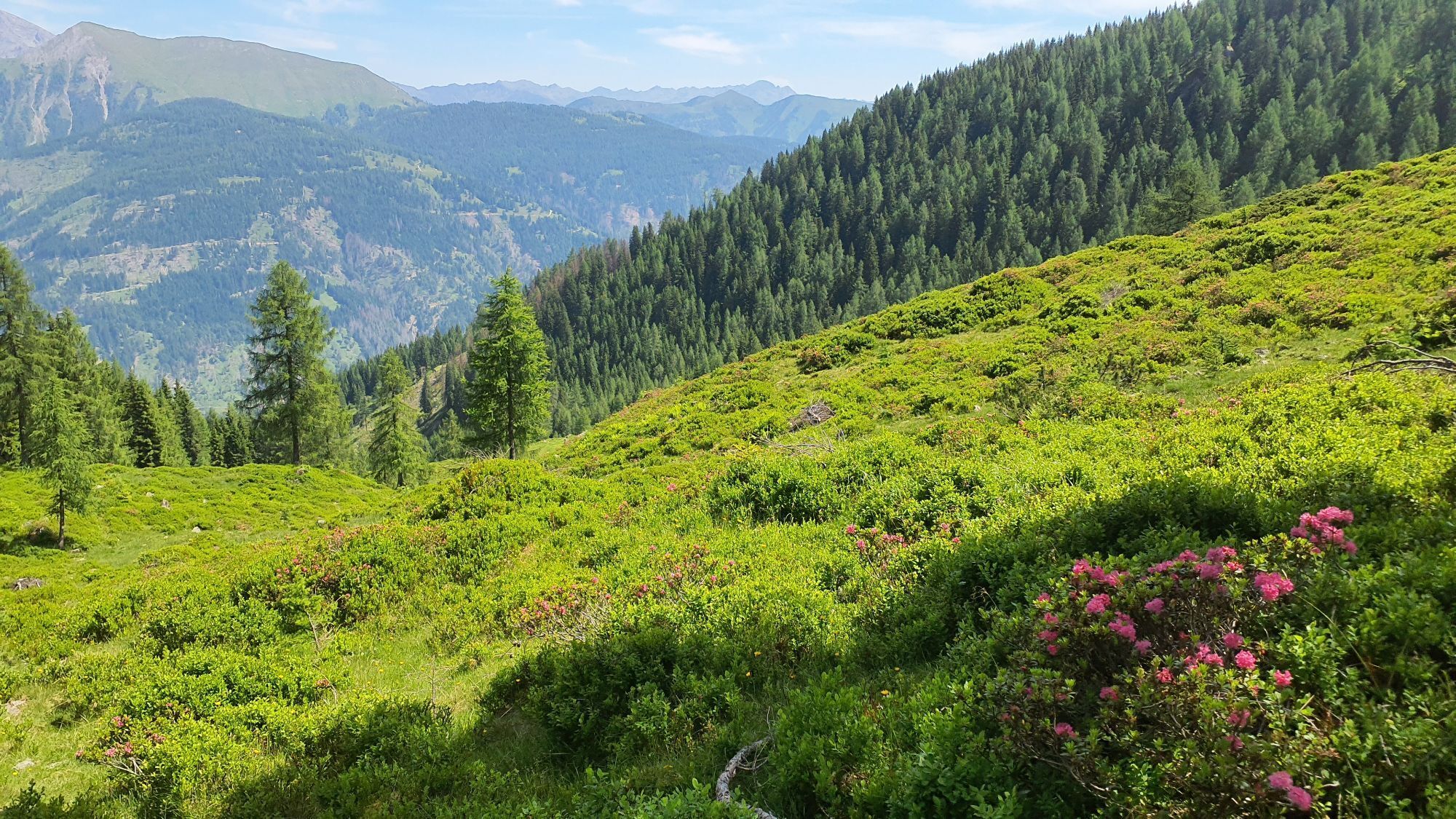
In good weather, you often hear sharp whistles of marmots on the last section and if you look closely, you can see them retreating into their burrows. Occasionally, chamois can also be seen.
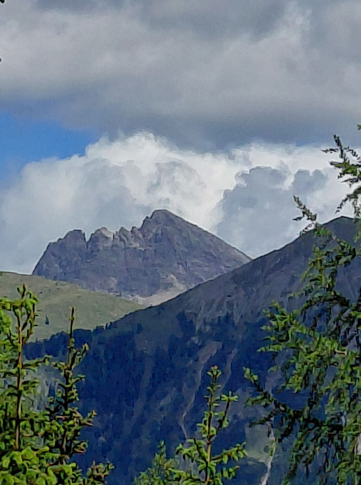
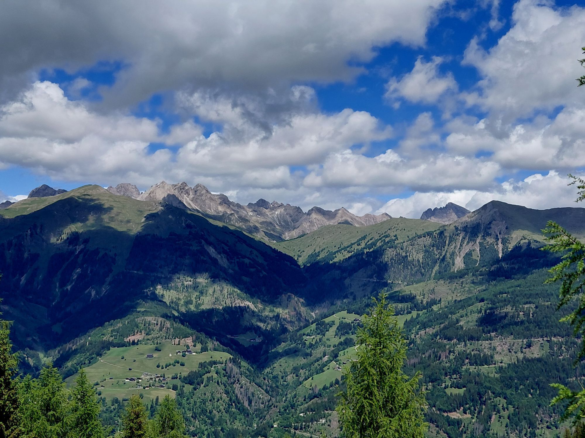
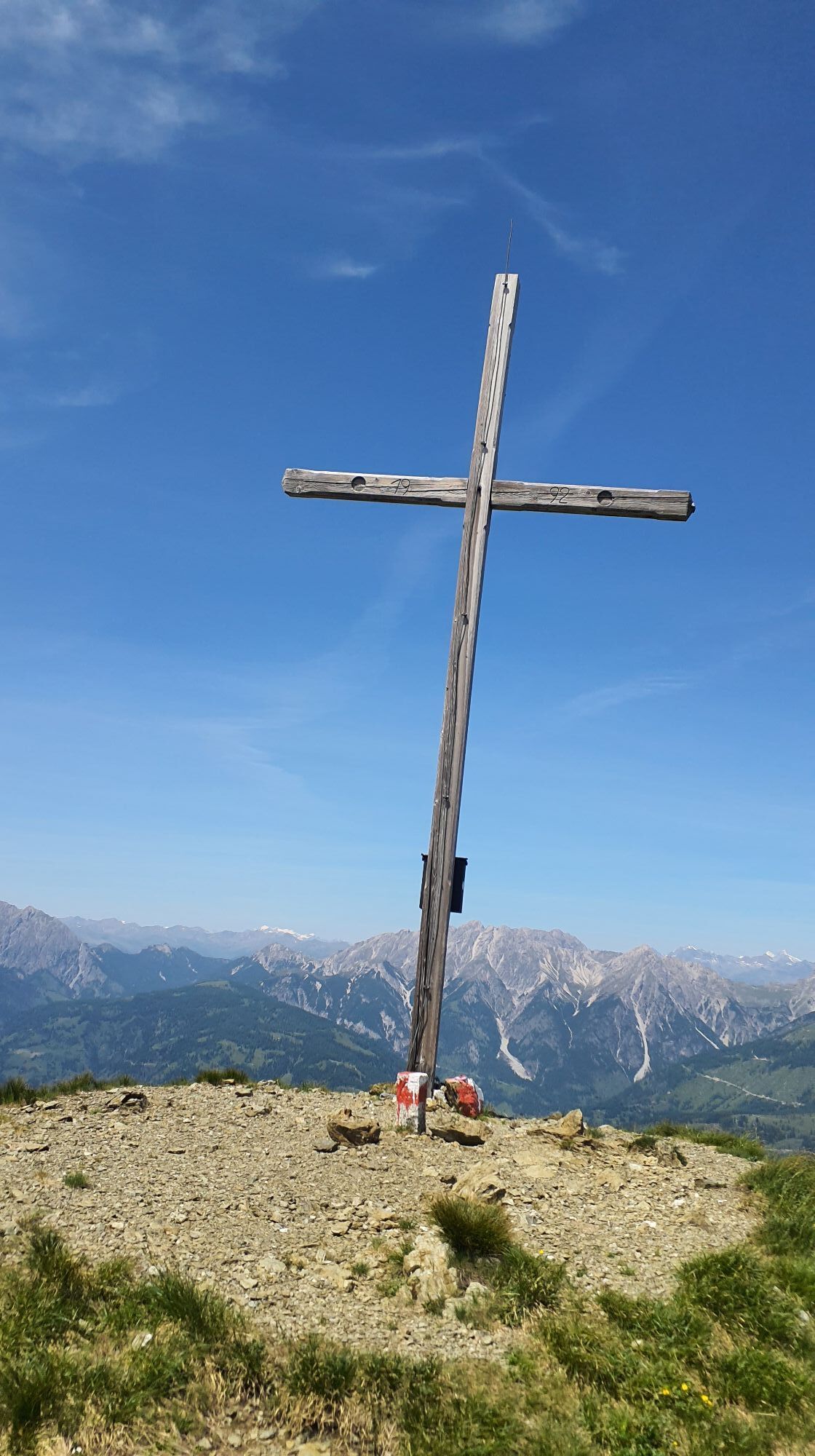
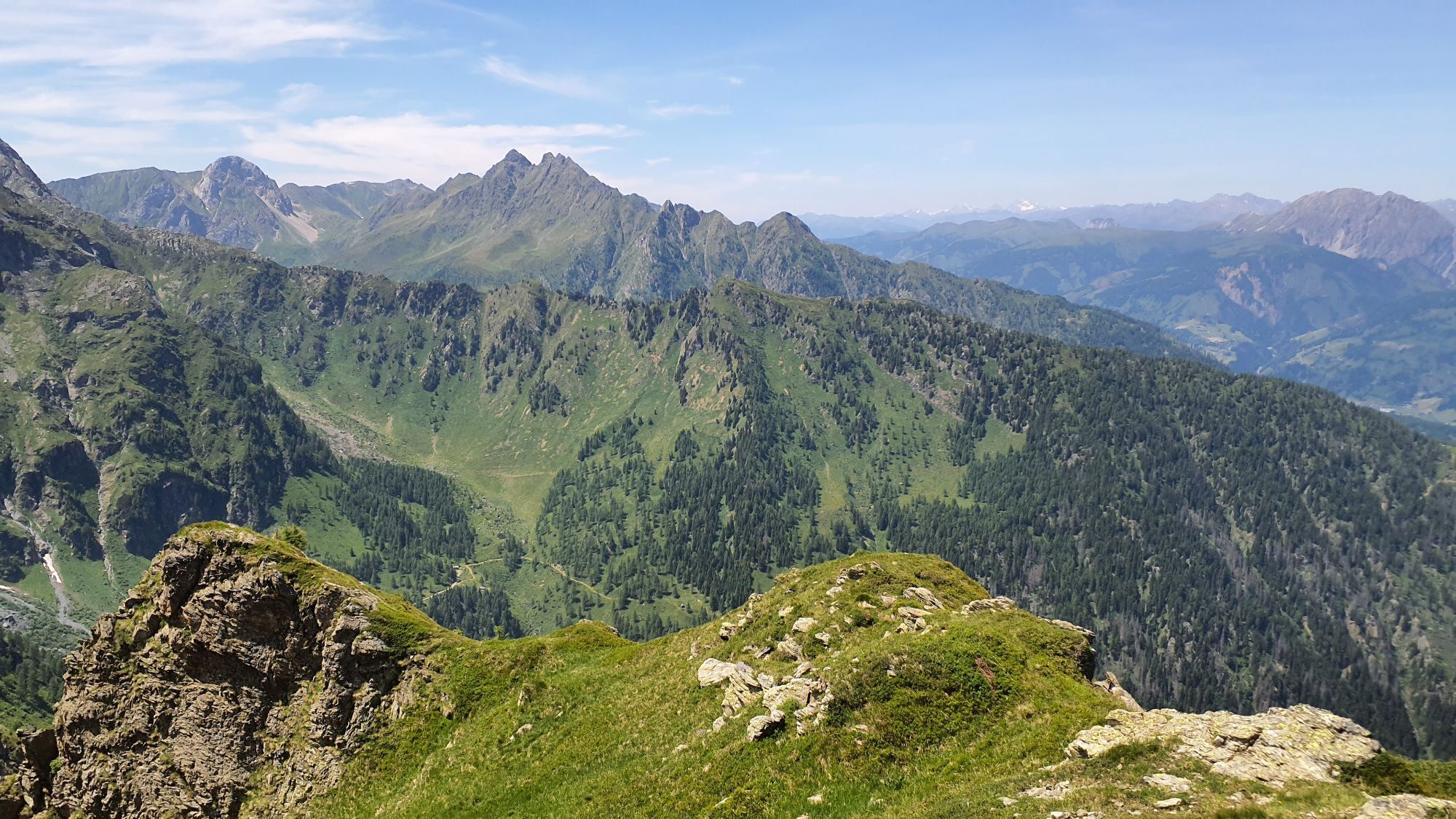
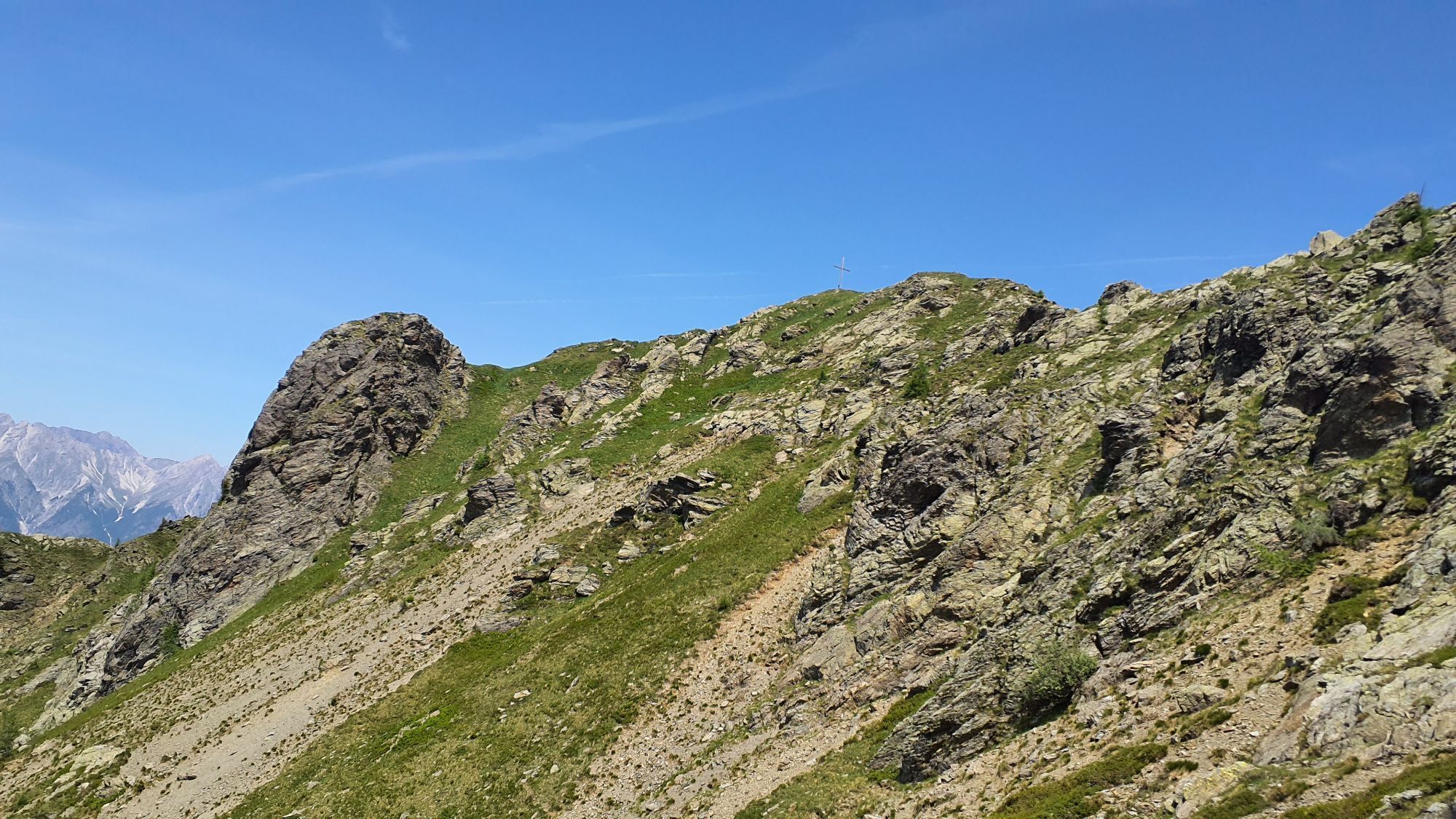
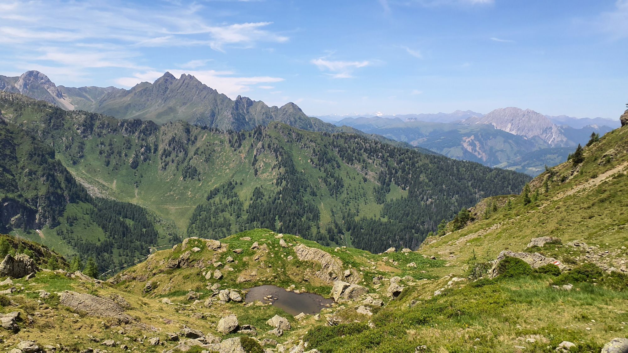
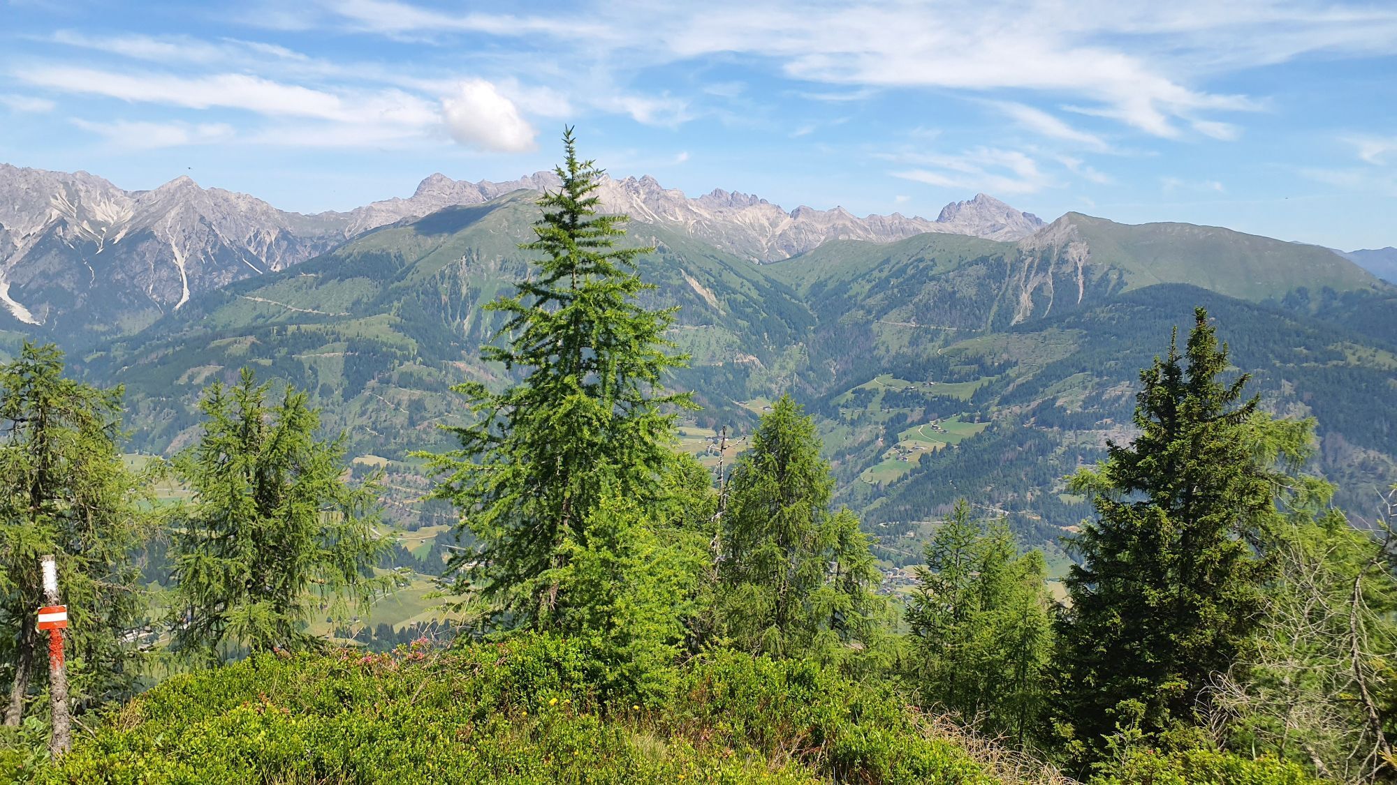
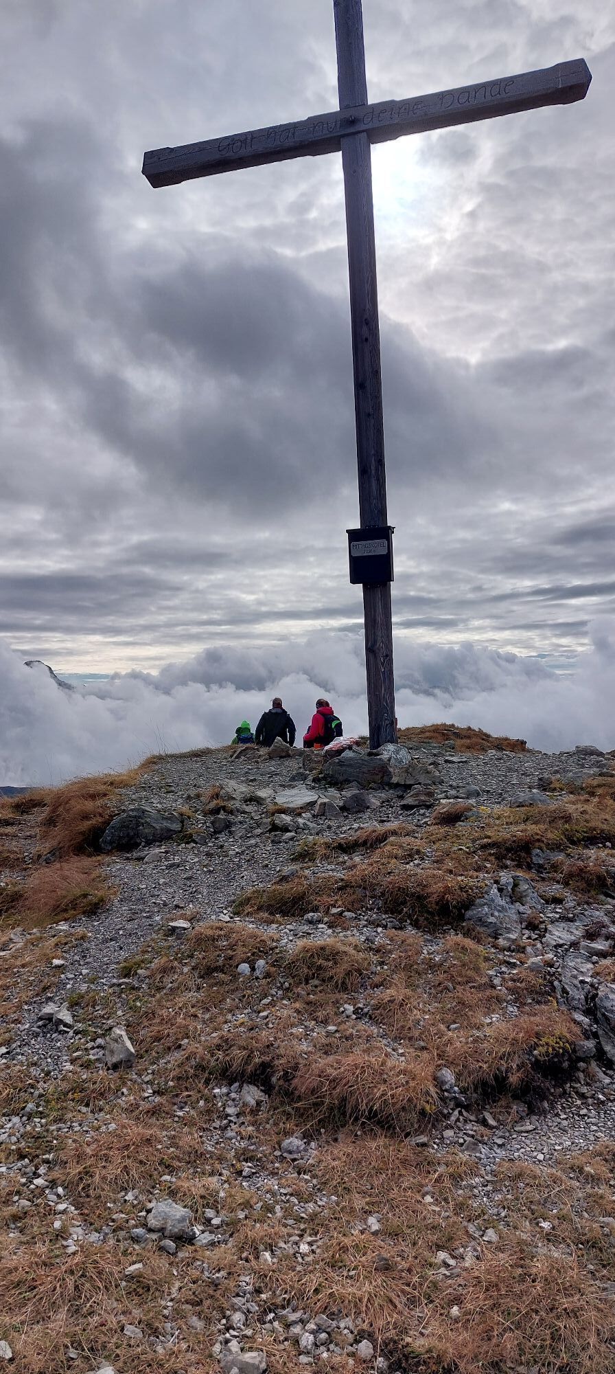
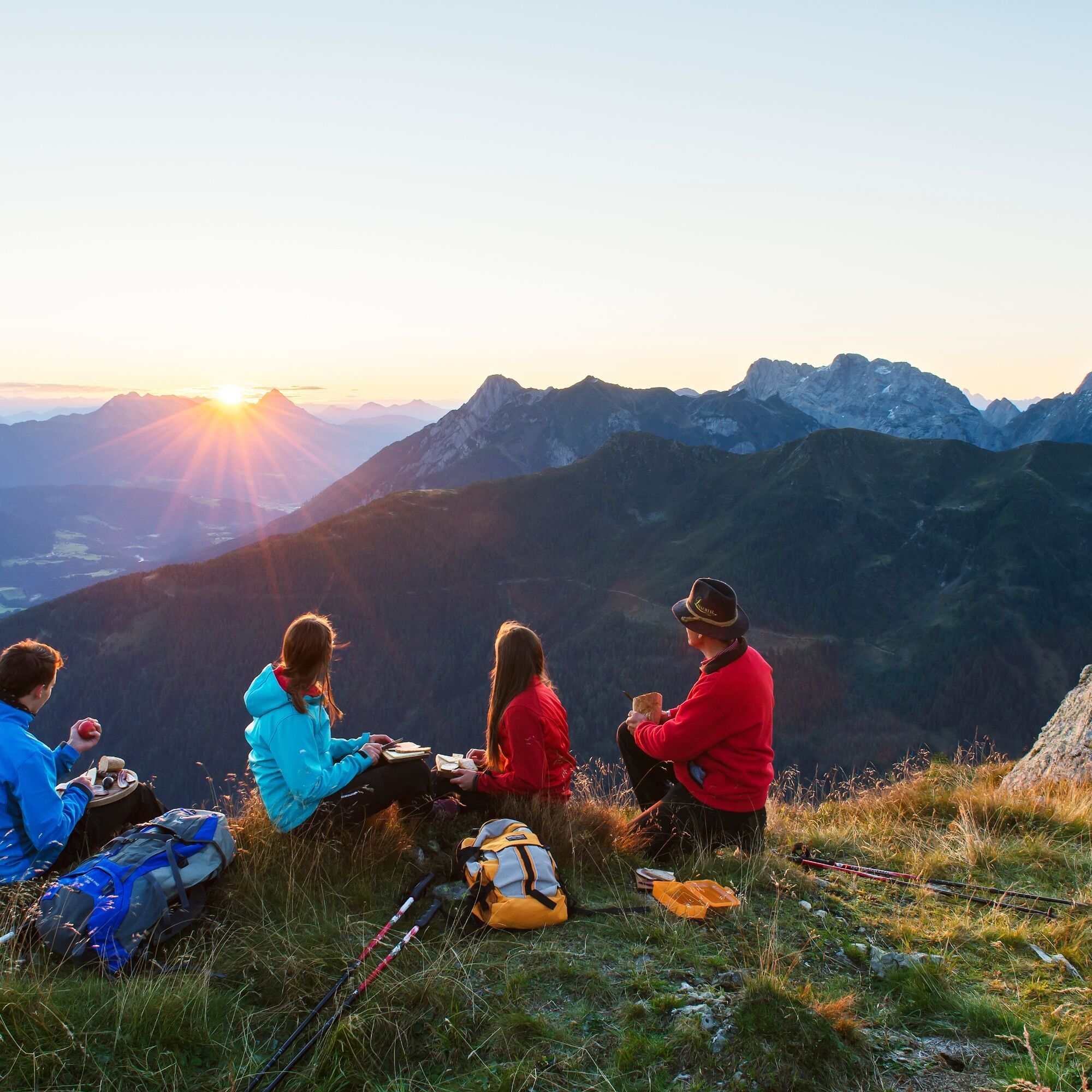
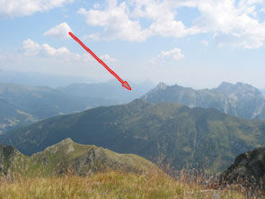
After a three to four-hour hike, you now reach the summit of Mittagskofel with the summit cross, and with a certain majesty and a fantastic panoramic view (from Villacher Alpe to the Hohe Tauern and far into the Italian region), you are richly rewarded for the efforts you have made.
The descent is along the ascent route. (Alternatively, you can also descend via Fleckenhütte into the Obergail valley and further to Obergail. The descent into Obergail valley is very steep and requires good surefootedness!)
Note: Marked paths to Mittagskofel are also available from Niedergail and also from the Obergailer Alm. The control stamp is located at the summit cross on Mittagskofel.
Warning: Please inquire about the current trail and weather conditions before every route!
Áno
Prerequisite: Good mountain equipment, especially mountain boots and carrying drinking water.
Check the current trail situation or possible trail closures before the route.
via Liesing (9653)
Získajte prehľad
Vždy naživo na mieste s viac ako 9 500 webovými kamerami. bergfex Ako používateľ Pro si teraz môžete pozrieť príslušné webové kamery pre mnohé zájazdy v aplikácii zájazdy z. Môžete si tak priamo prezerať aktuálne podmienky.
Obľúbené výlety v okolí
-
4,7
Karlsbader Hütte über Rudl-Eller-Weg
ťažkéTuristika 5,10 km -
4,5
Karnischer Höhenweg – Etappe 4: Hochweißsteinhaus – Wolayersee Hütte
ťažkédiaľková pešia trasa 15,9 km -
4,8
Pirknerklamm (C)
strednáVia ferrata 2 km -
4,8
Lienzer Dolomiten-Lasertörl
strednáTuristika 13,2 km -
4,7
Karlsbader Hütte
strednáMountainbike 13,4 km -
4,5
Obergail - Obergailer Alm - Obergailer Lake - Enderberg hut - Source for Health & Peace - Madonna circular hiking route - Obergail
strednáTuristika 11,4 km -
4,0
Karlsbader Hütte - Lienzer Dolomiten
Turistika 8 km -
4,9
Karnischer Hauptkamm - Hohe Warte 2.780m - Hike and Bike
ťažkéHorská turistika 19,5 km -
4,3
Connyalm (2.070 m)
Turistika 6,36 km -
4,3
Mountain bike route from the Hubertus Chapel to the Wolayersee
ťažkéMountainbike 9,06 km
Turistika a stopovanie


Nenechajte si ujsť ponuky a inšpiráciu na ďalšiu dovolenku
Vaša e-mailová adresa bol pridaný do poštového zoznamu.





