




Circular route - Klippitztörl - Klippitzrunde 1

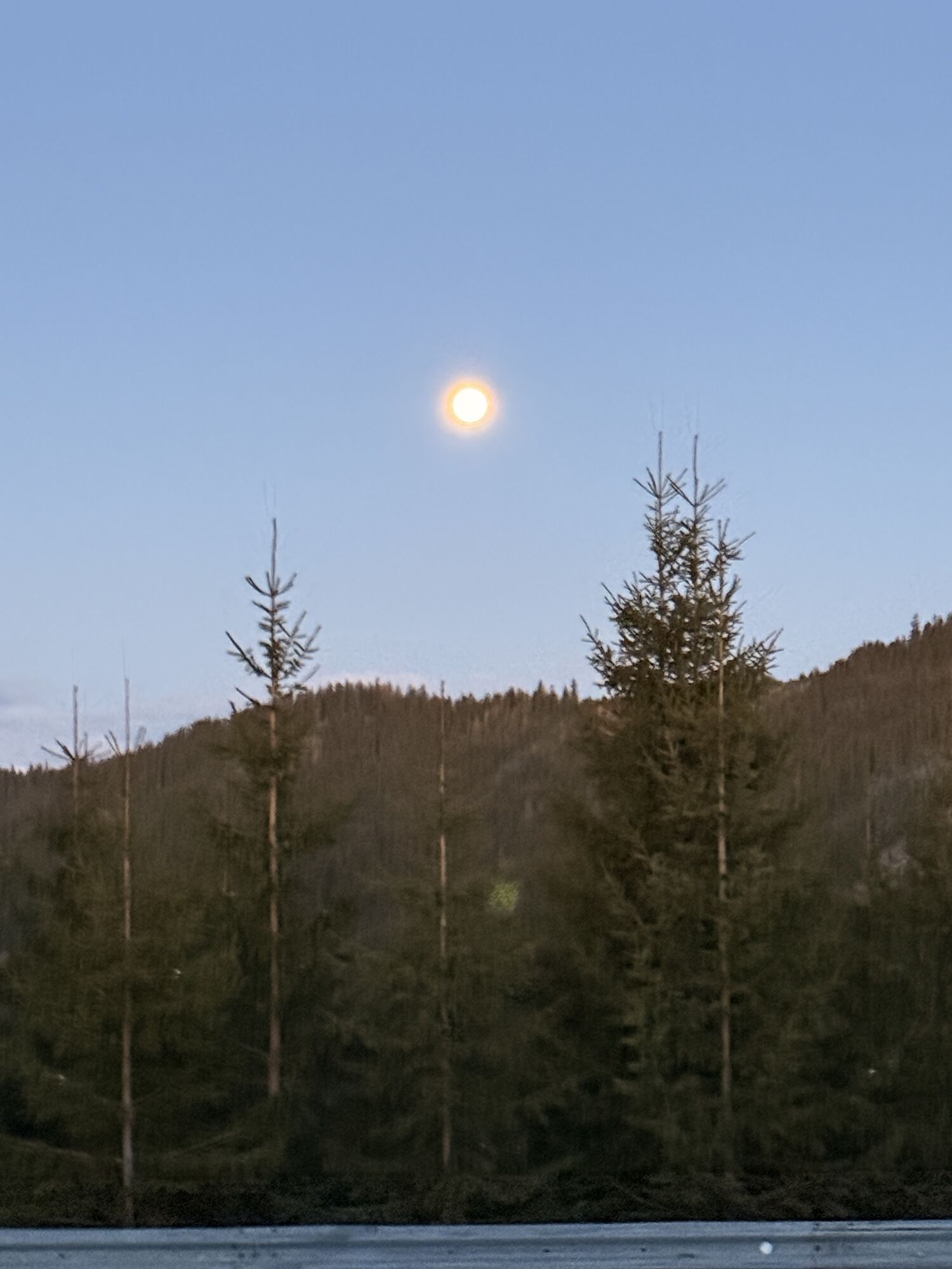
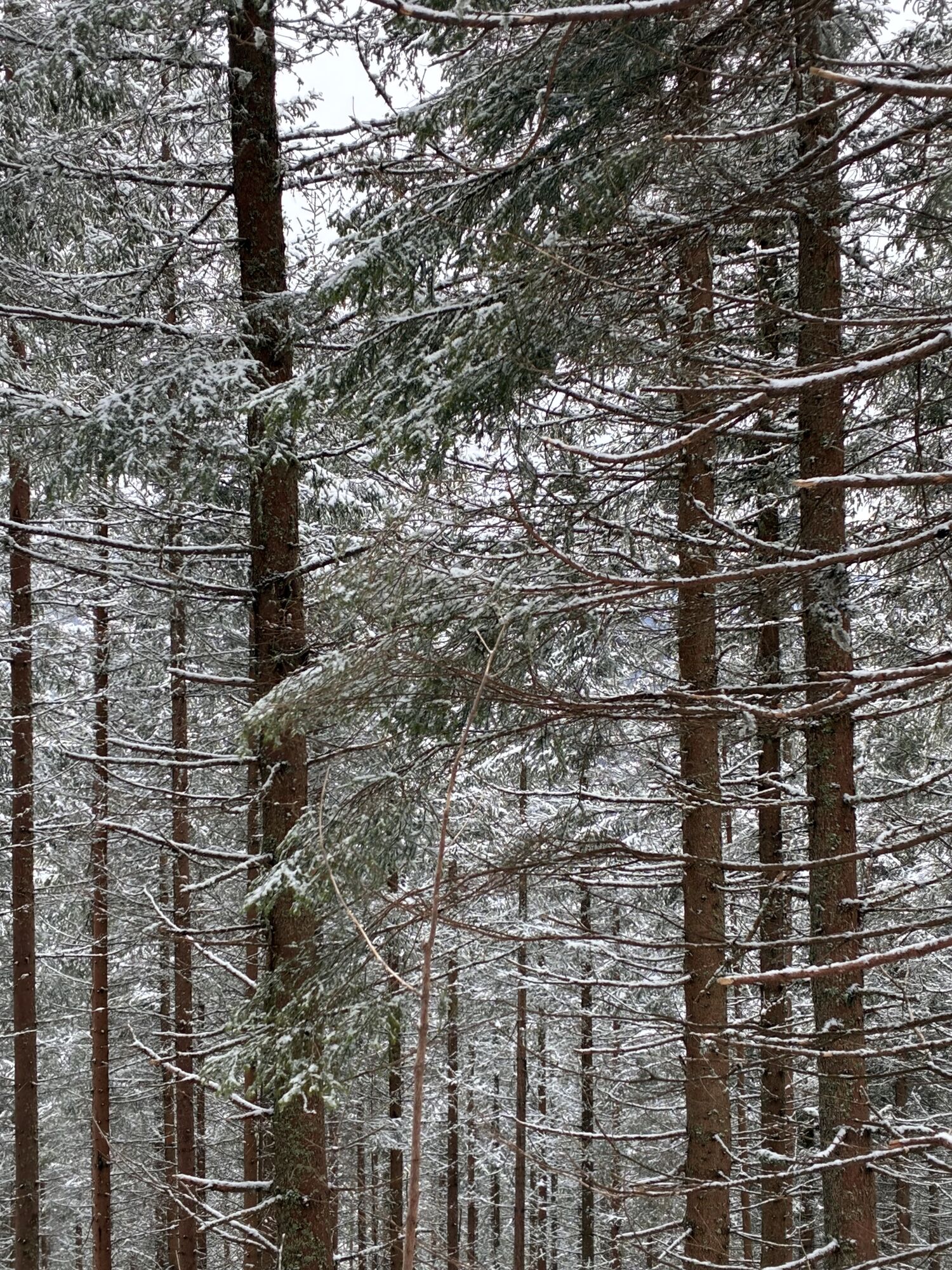
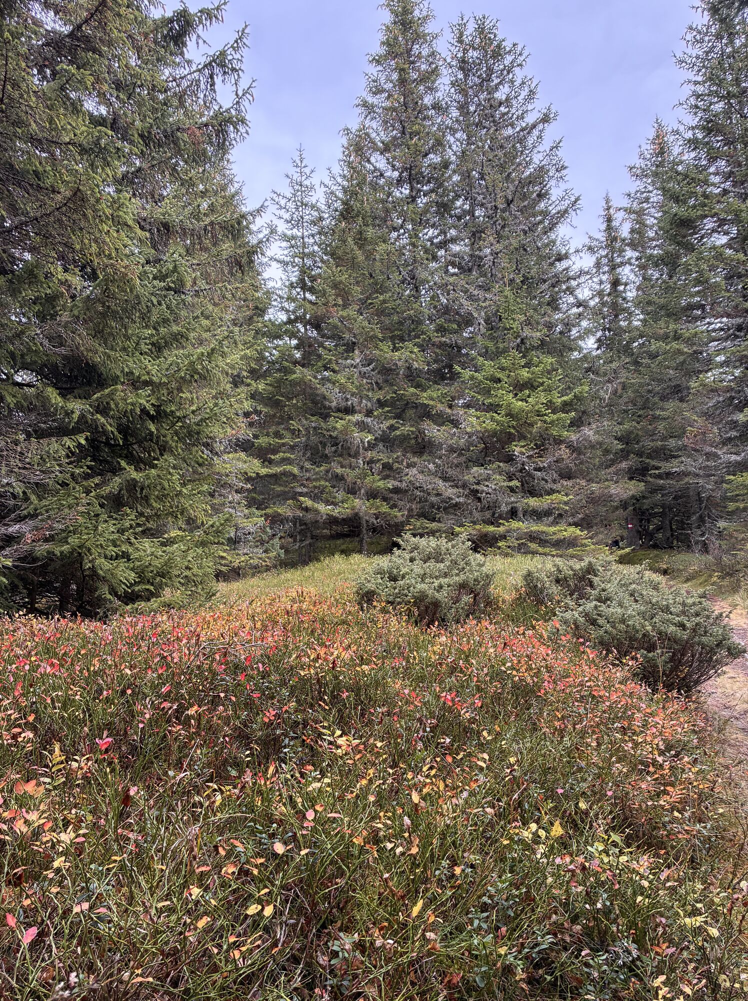
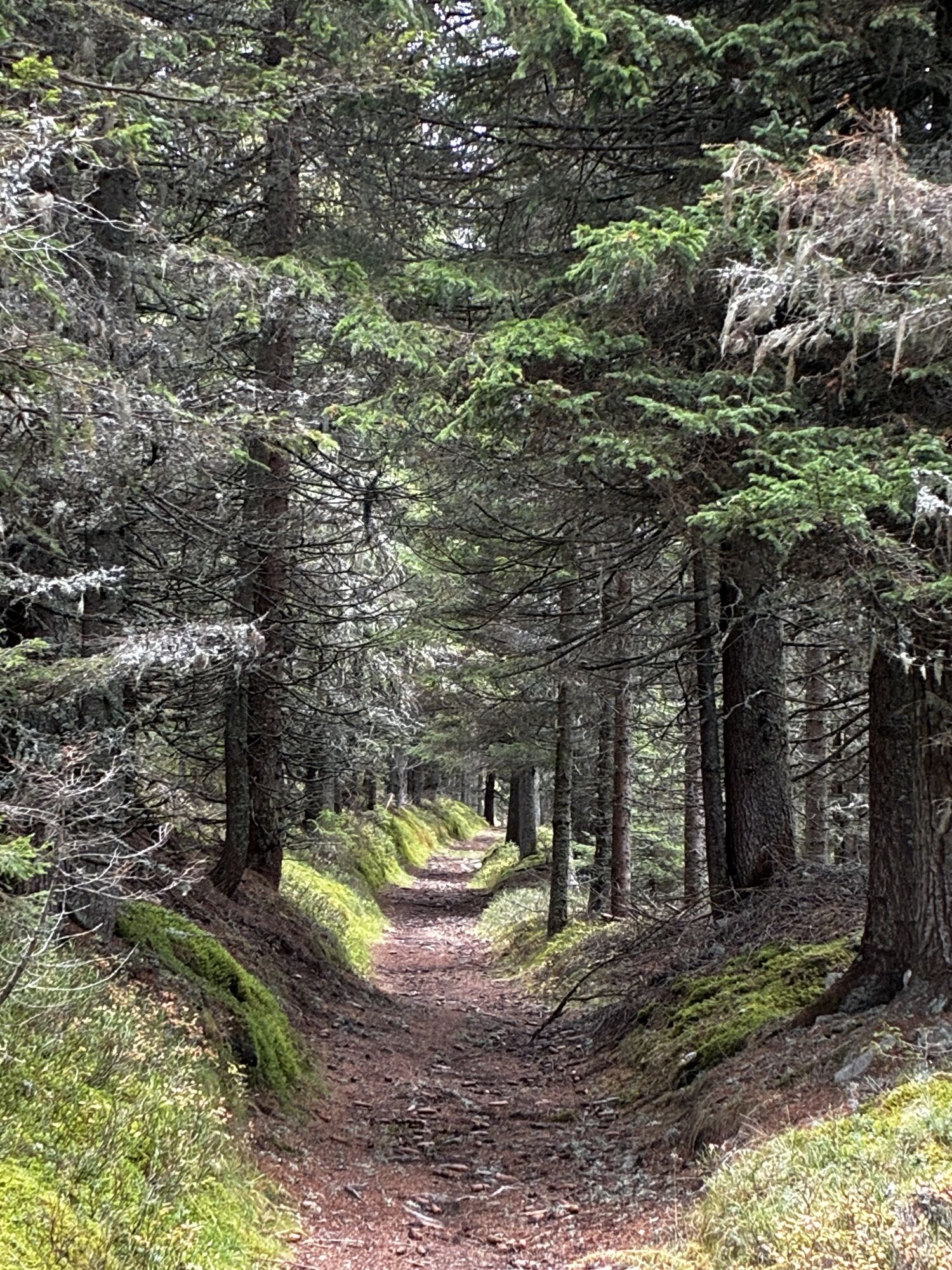
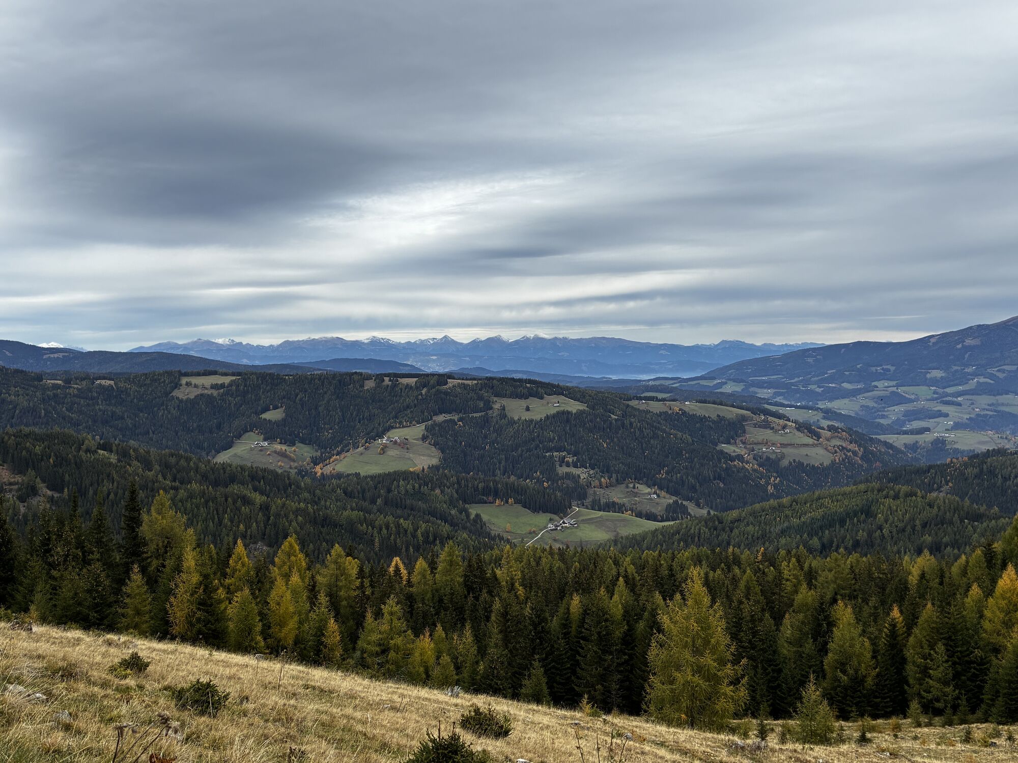
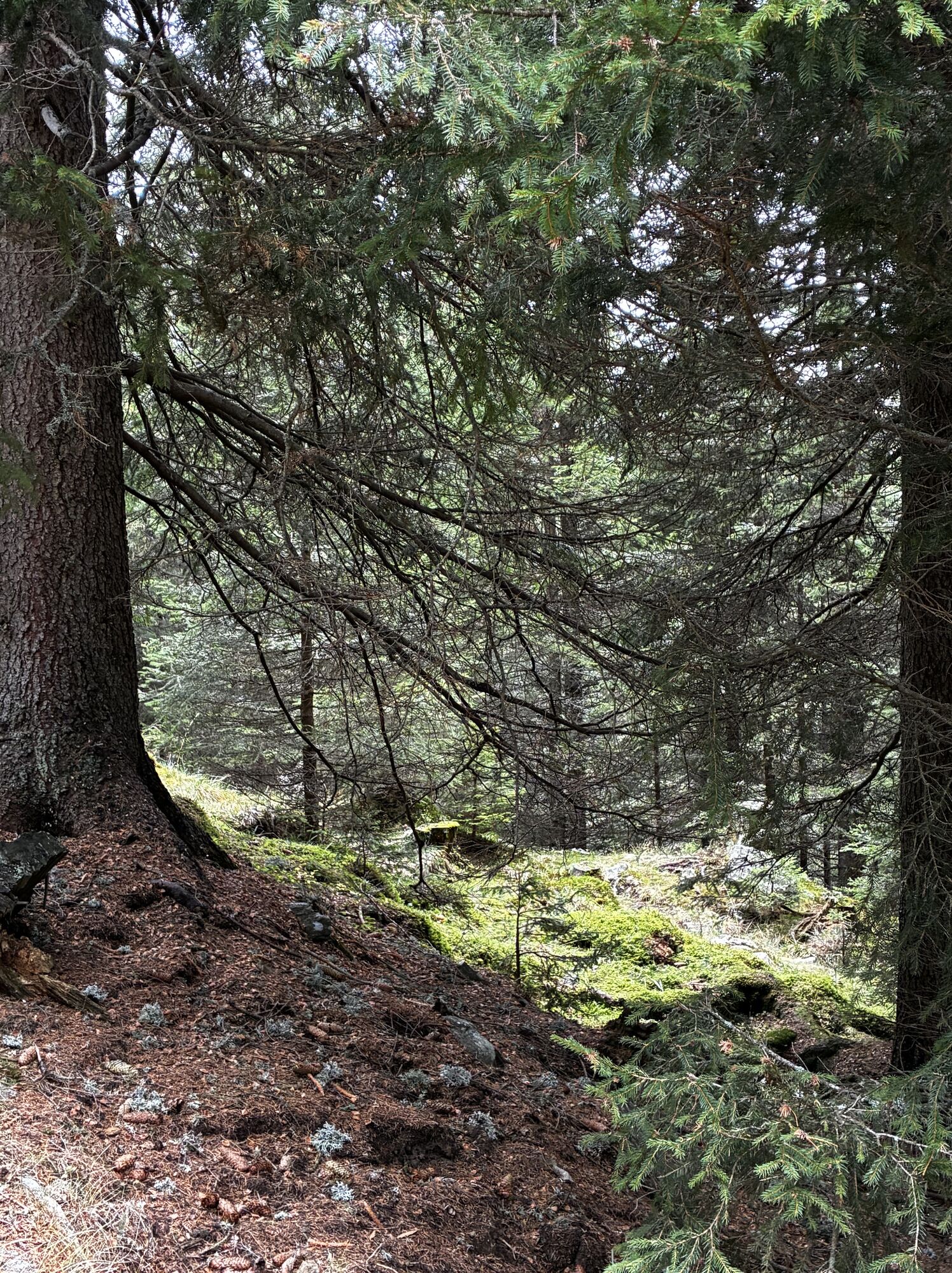
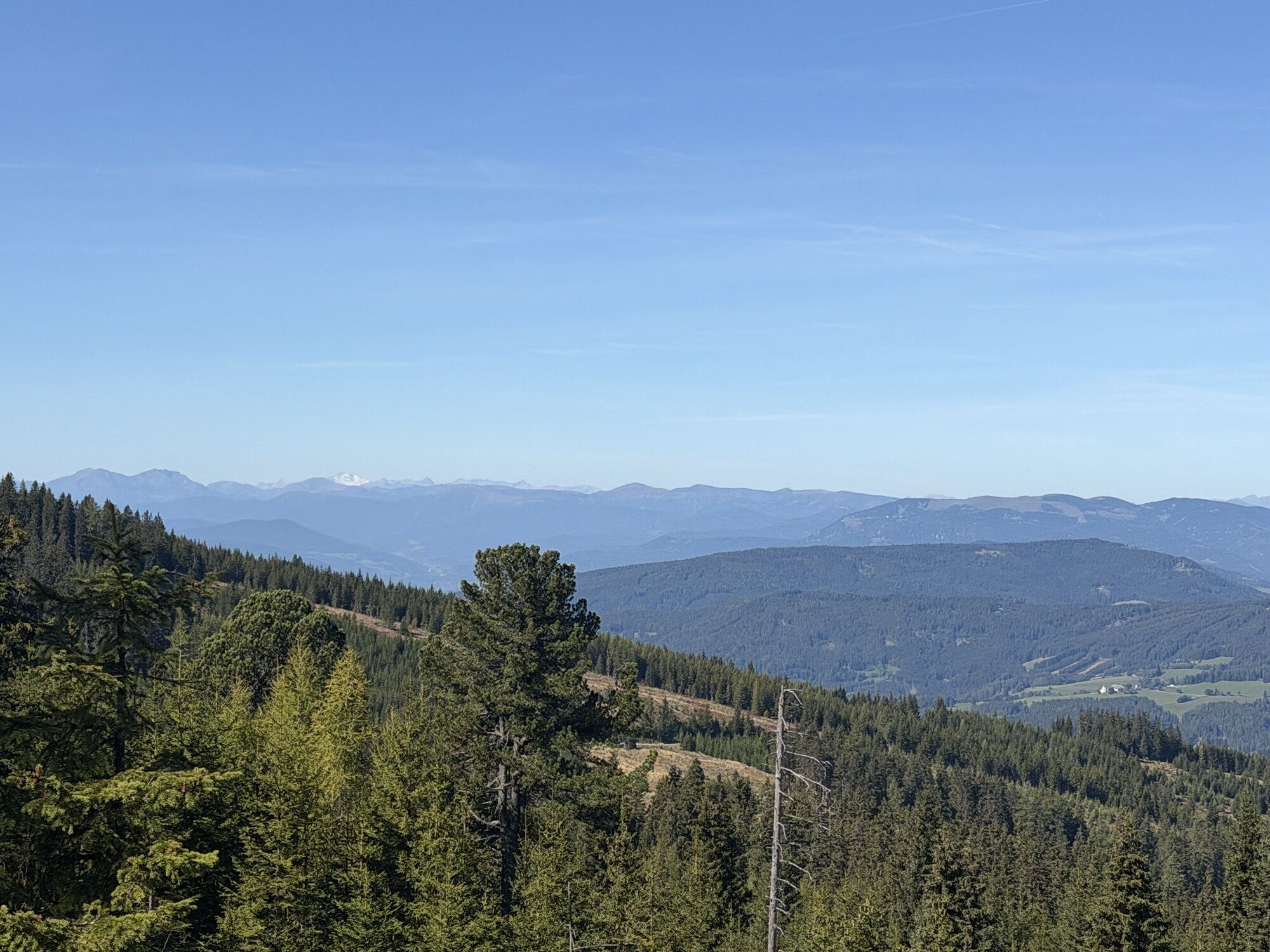
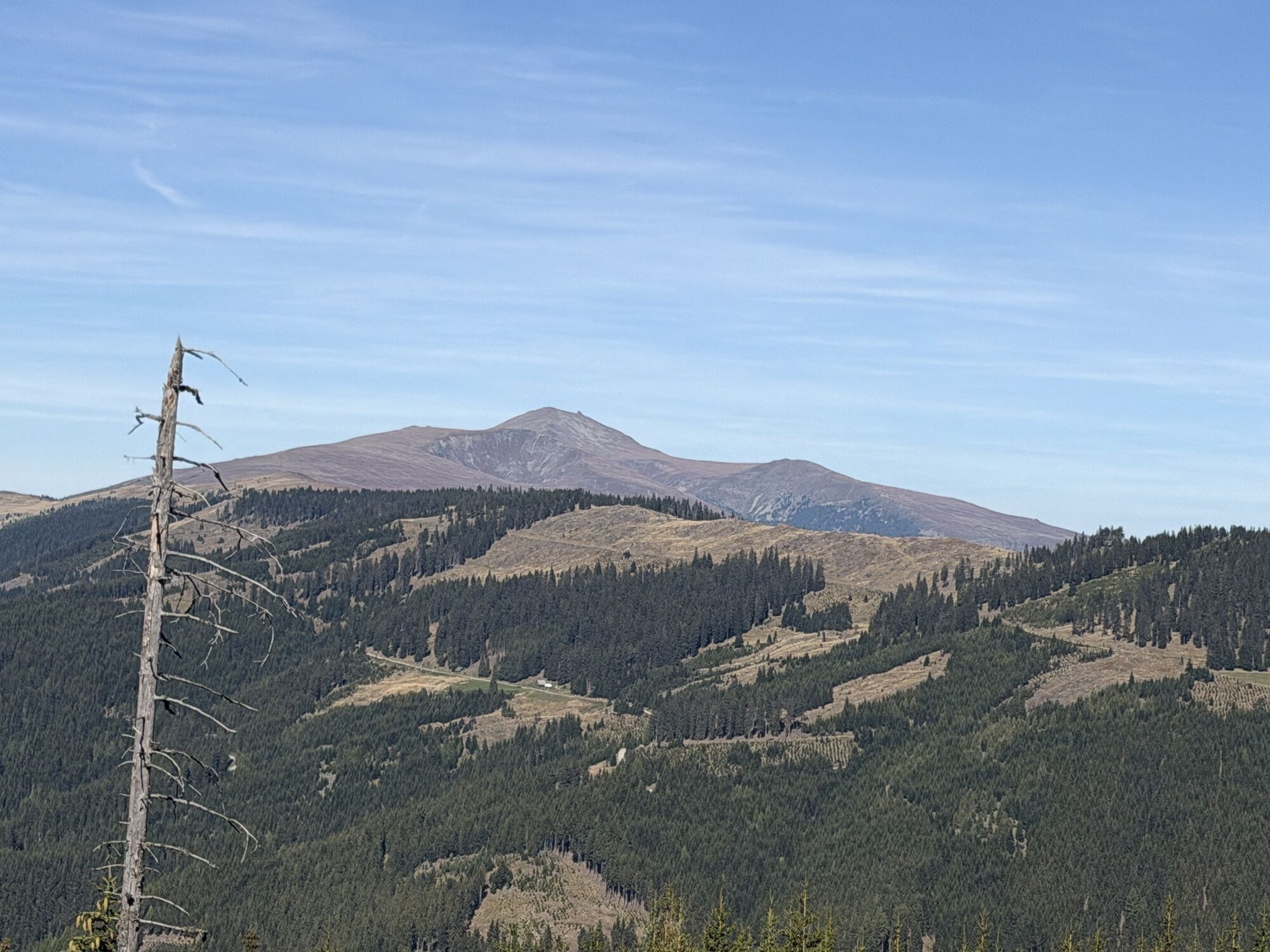
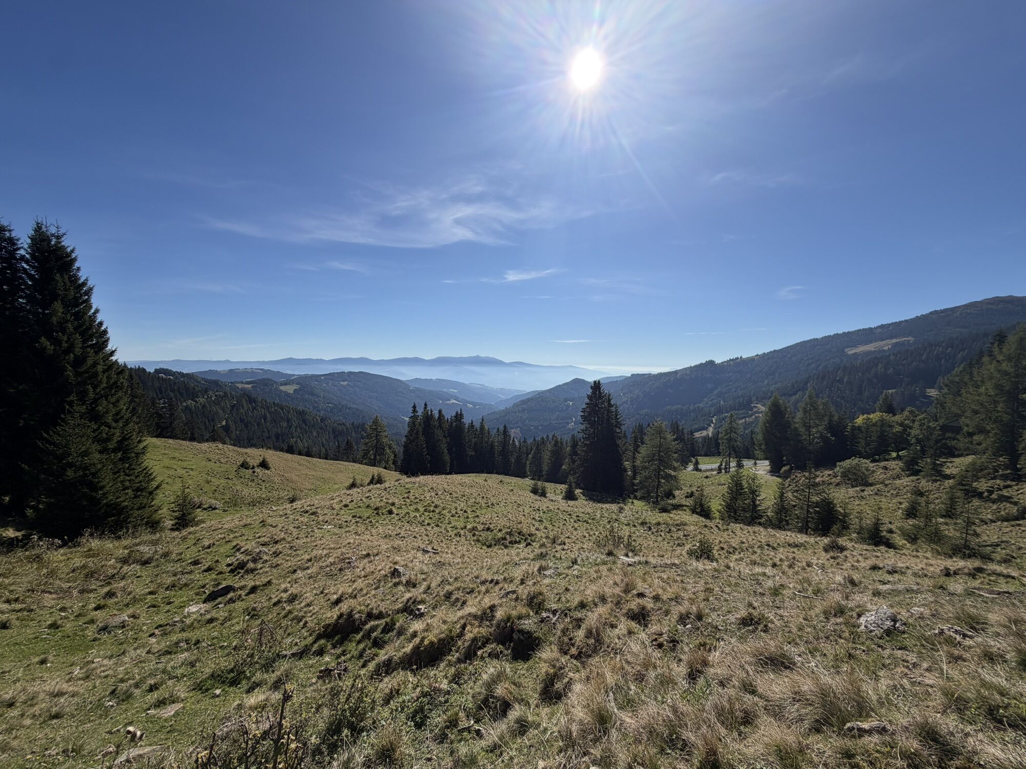
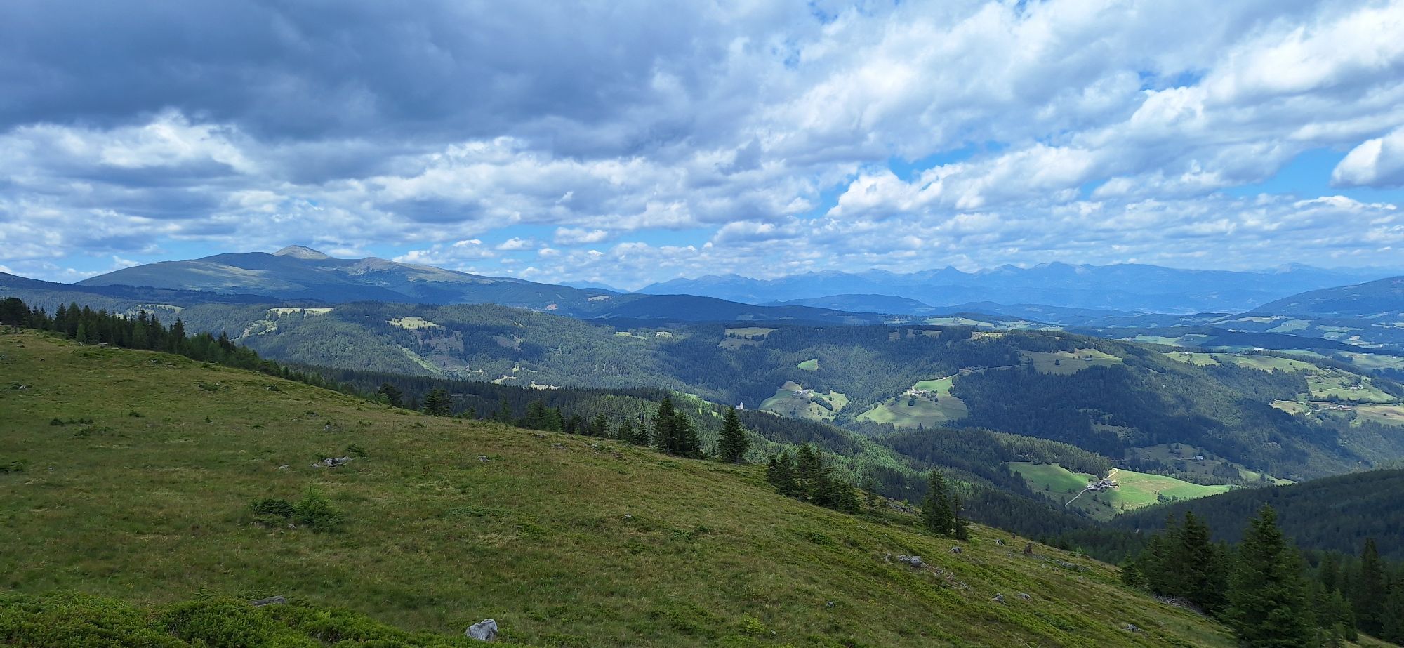

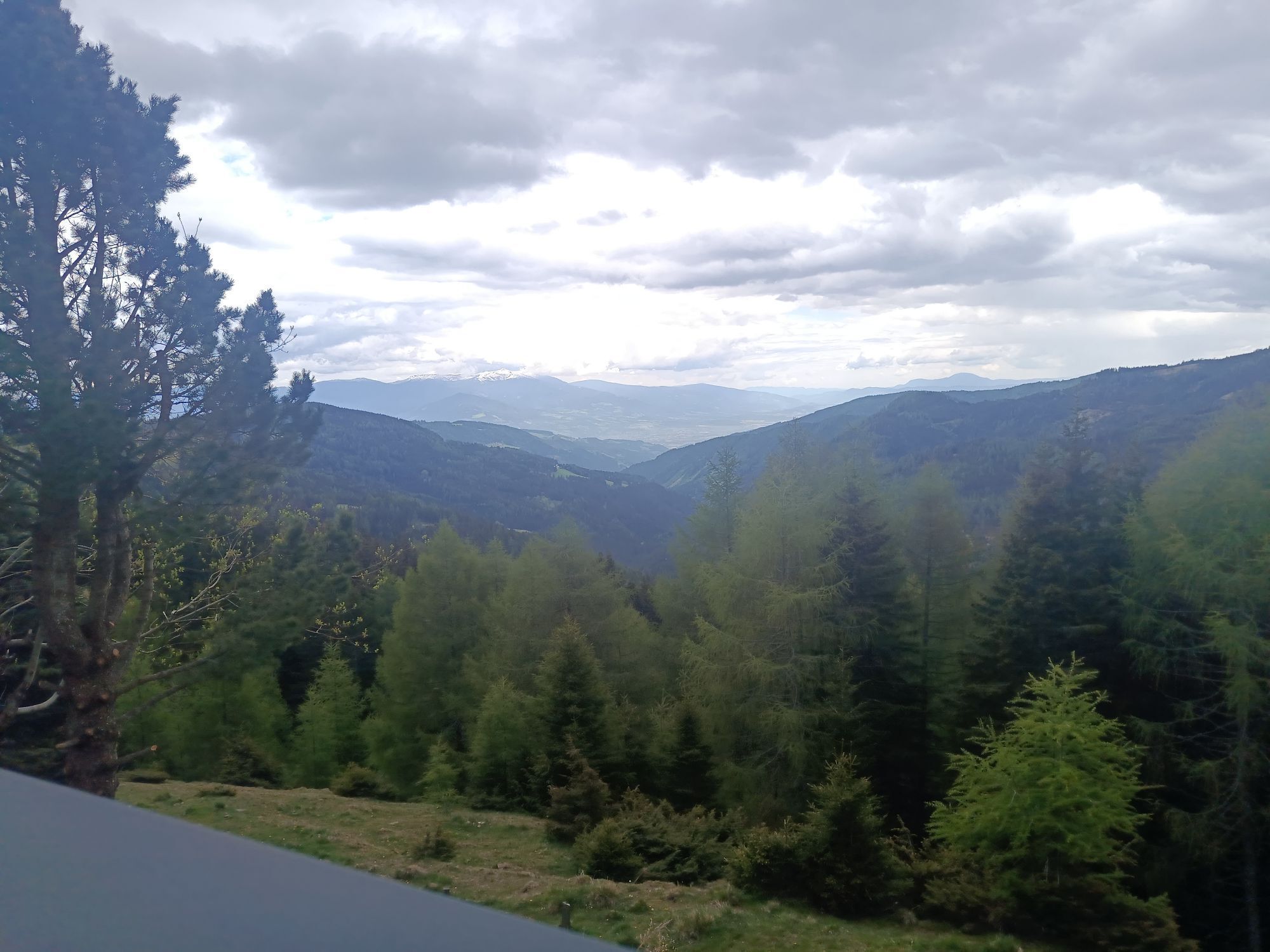
Wonderful circular route with panoramic views over the entire Lavant Valley.

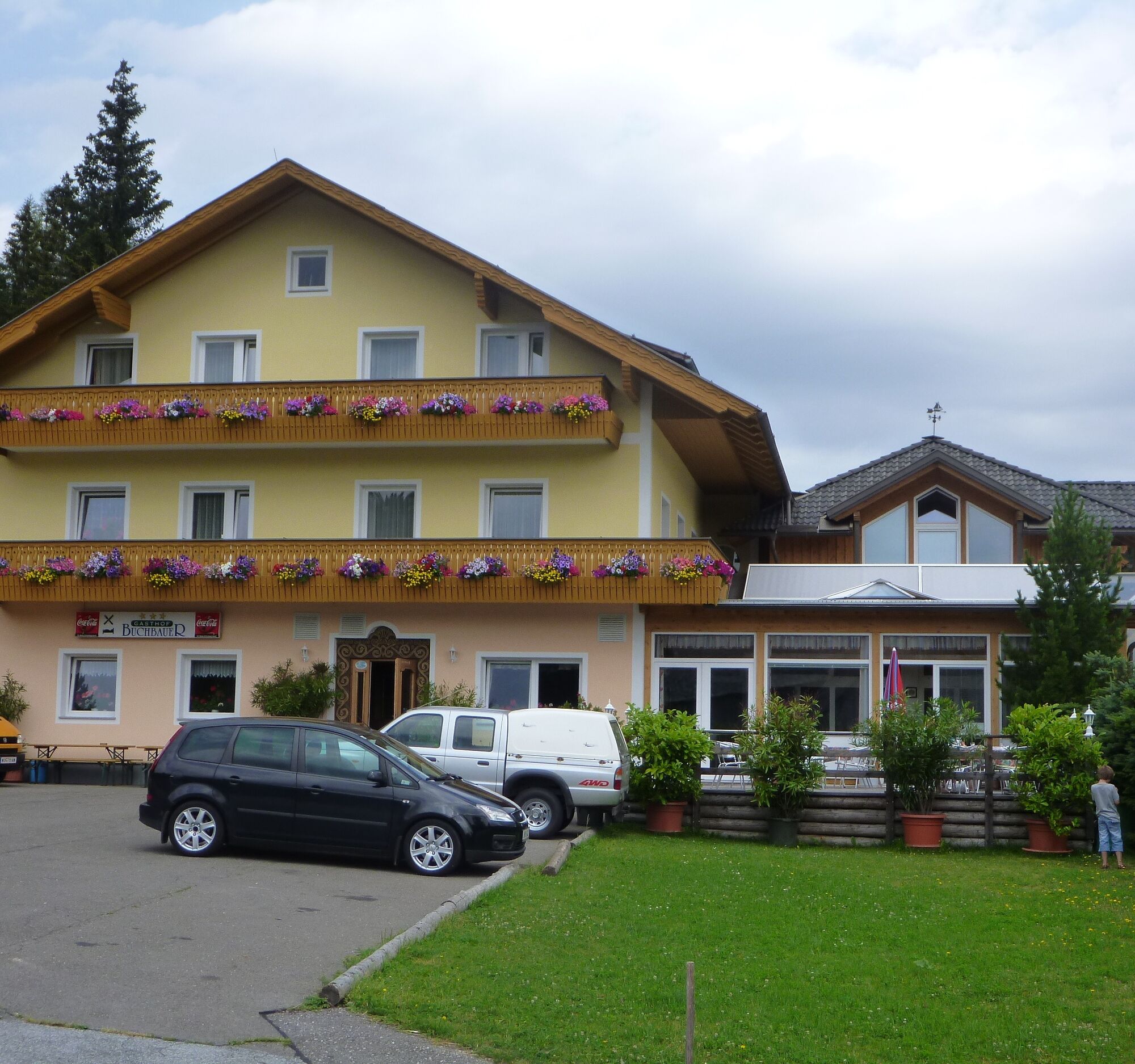



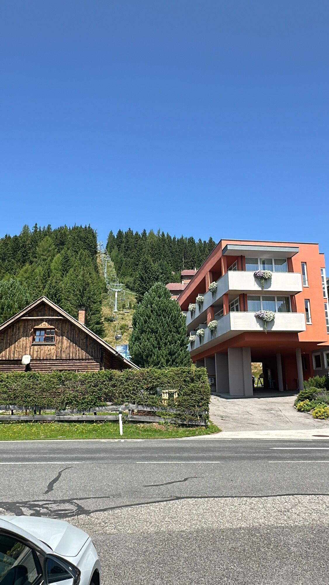
From the parking lot of Hotel Hochegger (1530m, open year-round), follow the signs for the "Klippitzrunde" K past the Schaffer-Halt for about 2.5 km to the Naturfreundehaus Klippitztörl (1644m, open year-round). Above the Naturfreundehaus at the pass height, the Klippitzrunde K turns right into the forest along the long-distance hiking trail No. 308 to the junction of a forest road. Along the forest road, turn right after about 300m. After a short steep ascent, the hiking trail continues to a crossroads (turnoff to Hohenwarthütte). The Klippitzrunde K and the long-distance trail 308 continue straight ahead to the Grünhütte junction. Turning right, you reach the Grünhütte (refreshments available) after about 20 minutes. The Klippitzrunde K passes the Guglhütte (private). After about 100 m, you reach a crossroads where you can go to the Moselehütte (1660m) and the Hohenwarthütte (1760m). The Klippitzrunde K continues to the left and descends over an alpine pasture to the Bischofshütten. Passing the Bischofshütten (private holiday homes) and following the Klippitzrunde K, the path goes uphill to the right to the Schwarzkogelhütte (not open in summer). From the Schwarzkogelhütte, the Klippitzrunde K turns the path to the right, passing holiday homes. After about 300m, you cross a wooden bridge and return to the starting point of the Klippitzrunde K circular hike.
Áno
Áno
Hiking boots - rain protection
Along the Klippitztörl state road to the parking lot of Hotel Hochegger.
Wolfsberg-St. Margarethen-Preims-Klippitztörl
Hiking bus in July/August
Parking lot - Hotel Hochegger on the Klippitztörl state road
Numerous circular hikes around the Hohenwart and rustic huts invite you to "stop in". The Oberlavanttaler circular trail with trail number 08 leads up to the Zirbitzkogel.


Webové kamery z prehliadky

Obľúbené výlety v okolí
-
4,6
Klippitztörl - Geierkogel loop trail no. G
strednáTuristika 6,79 km -
4,6
Zirbitzkogel-Runde über Lindersee
strednáTuristika 10,5 km -
5,0
Rothaidehütte Runde Zirbitzkogel
strednáTuristika 6,17 km -
4,6
Bad St. Leonhard: L5 hike Kliening - Sauerbrun
strednáTuristika 9,49 km -
4,9
Zirbitzkogel, 2396m, von Winterleiten Hütte
strednáTuristika 10,5 km -
3,9
Vom Almidyll Sabathy (Sabathyhütte) auf den Zirbitzkogel
strednáTuristika 7,70 km -
4,8
Zirbitzkogel Waldheimhütte - Wildsee - Fuchskogel - Zirbitzkogel, Steiermark/Österreich
strednáTuristika 15,2 km -
4,8
Zirbitzkogel Wildsee Rothaidehütte
strednáTuristika 15,4 km -
4,8
Von der Sabathy über die Winterleiten auf den Zirbitzkogel
strednáTuristika 14,8 km -
4,8
Steinerhütte-kl.+gr. Sauofen zum Gertrusk und zurück
svetloTuristika 15,0 km
Turistika a stopovanie


Nenechajte si ujsť ponuky a inšpiráciu na ďalšiu dovolenku
Vaša e-mailová adresa bol pridaný do poštového zoznamu.


