


Lavanttal Höhenweg: stage 1 from Lavamünd to Stiftshütte

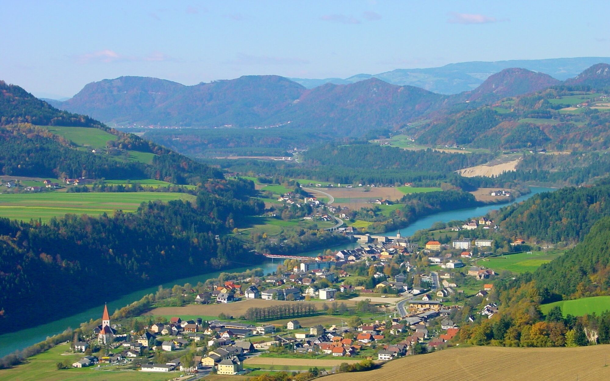
The start of the first stage is Lavamünd, at 343 meters above sea level not only the lowest point of the tour but also the southernmost town of the Lavanttal and confluence of the Lavant into the Drau....
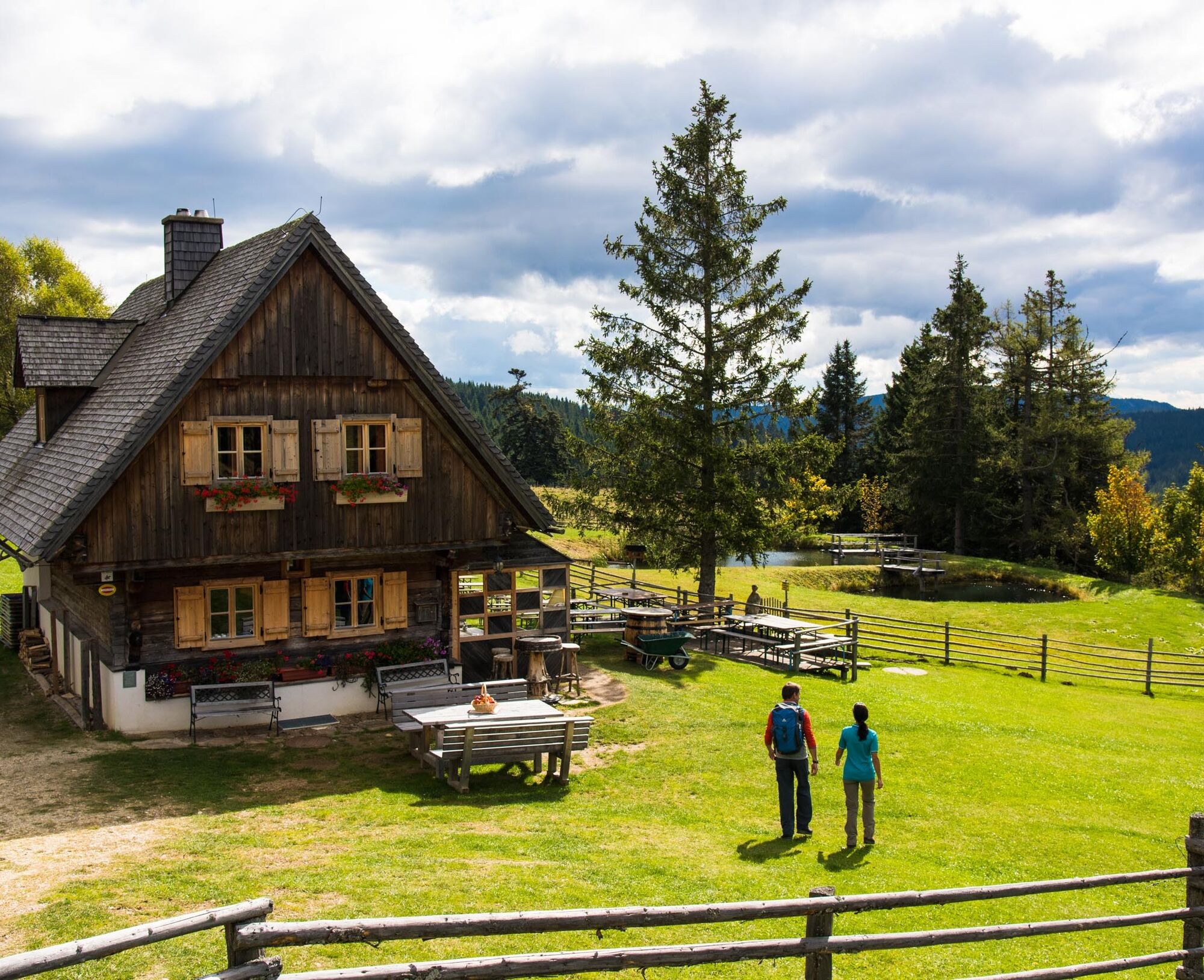
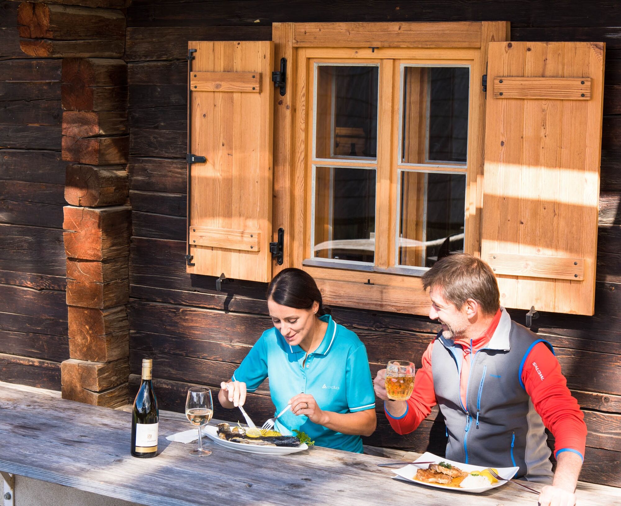
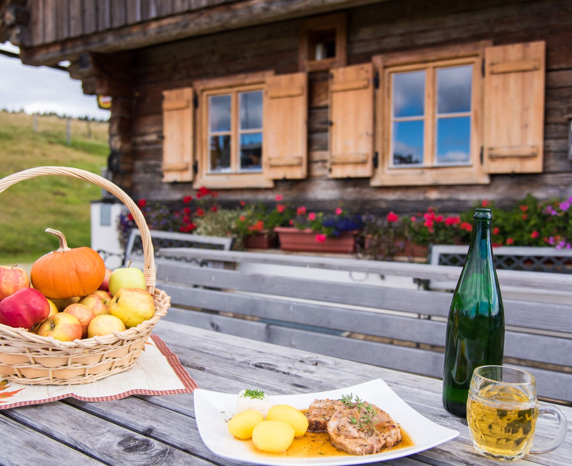
The start of the first stage is Lavamünd, at 343 meters above sea level not only the lowest point of the tour but also the southernmost town of the Lavanttal and confluence of the Lavant into the Drau. With 1221 meters elevation gain and a length of 21 kilometers, this route is also one of the most physically demanding routes of the Lavanttal Höhenweg. The destination of the stage is the Stiftshütte at Brandl with regional delicacies and its own trout pond.
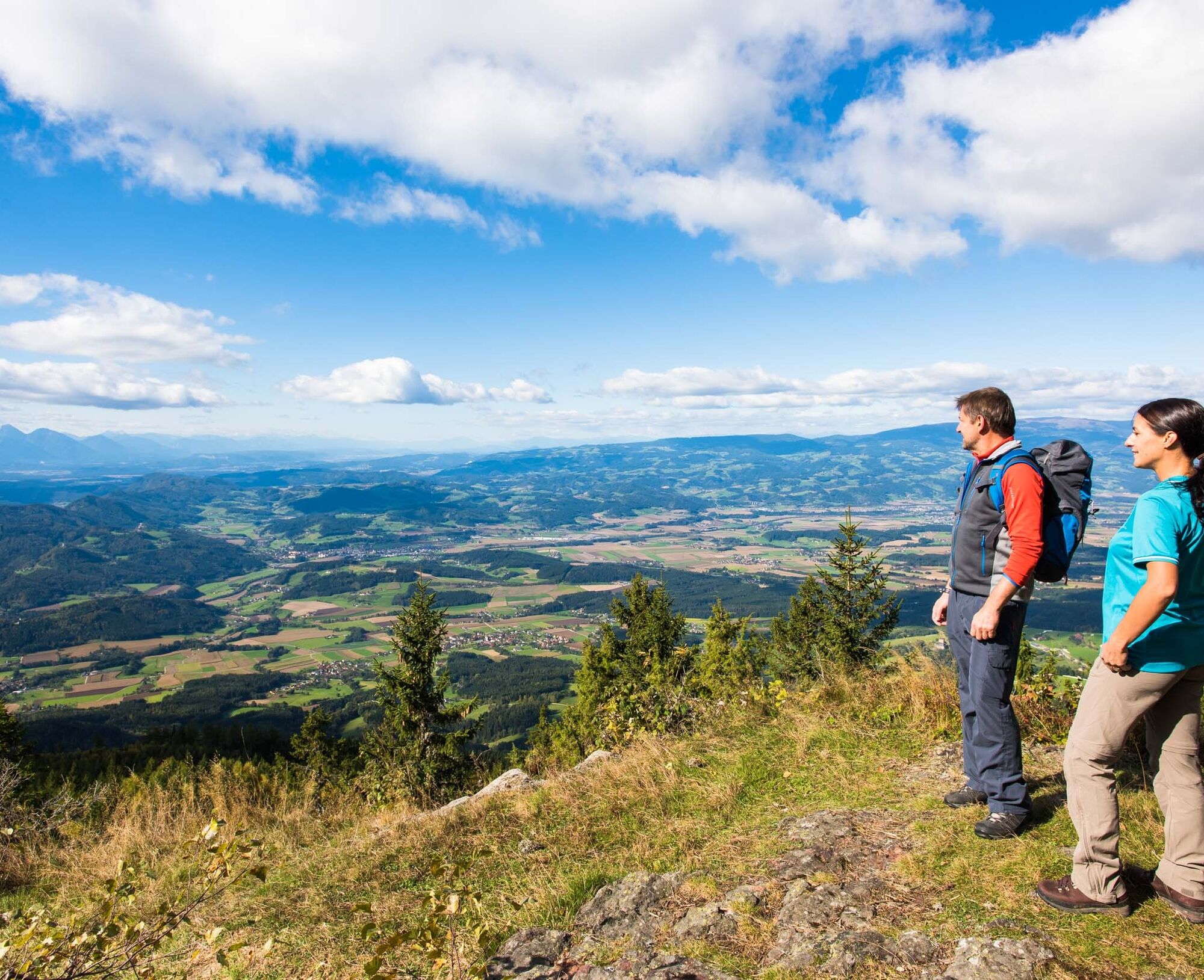
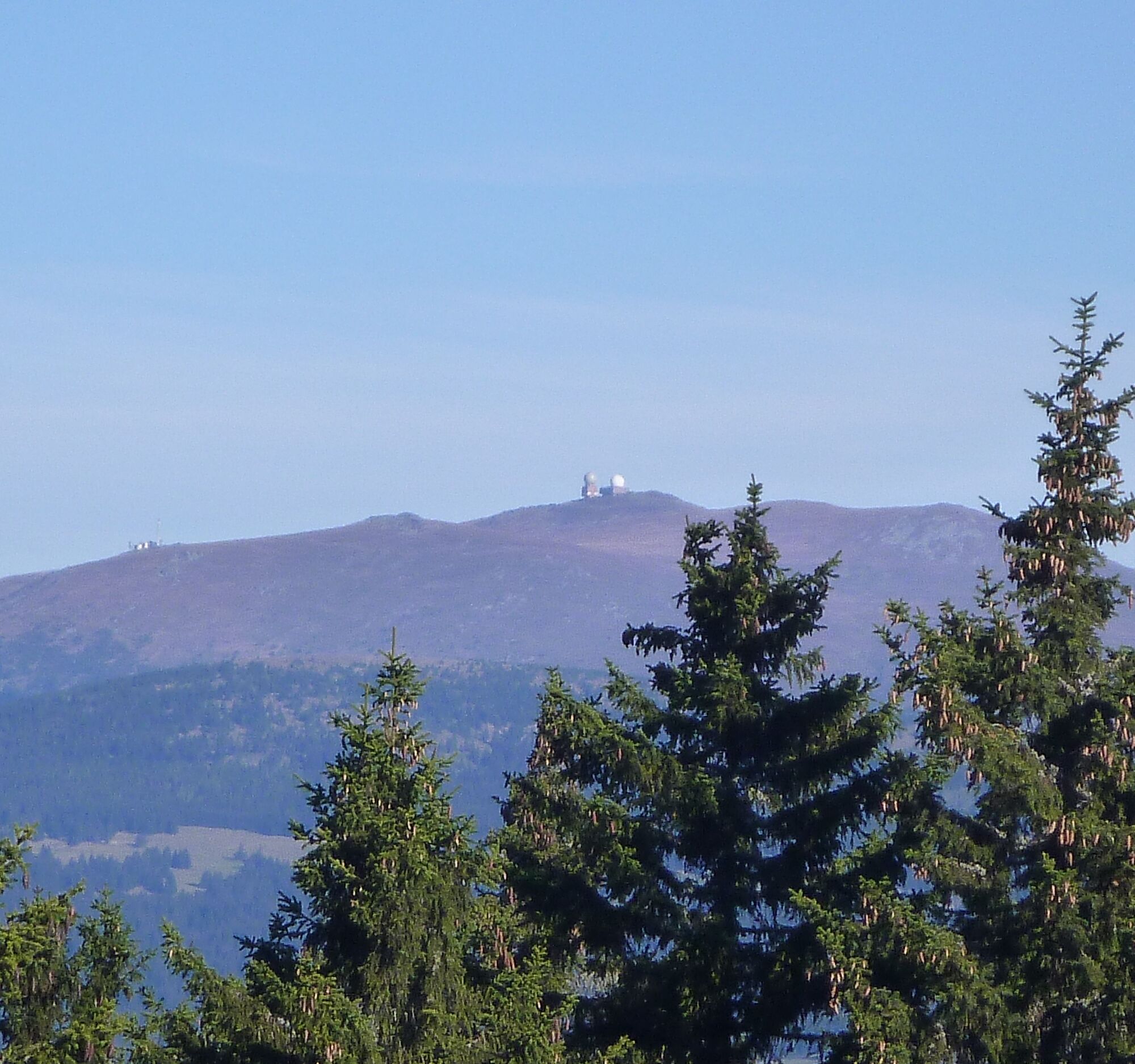
Also, one of the most breathtaking viewpoints in Carinthia lies in immediate proximity to the hut. This is the viewing platform at the Berensteiner Ofen. The panoramic views extend in a wide arc from the Ursulaberg (Uršlja Gora) in the Slovenian Steiner Alps, over the Dobratsch up to the Großer Speikkogel (2,140 m), the highest peak of the Koralpe.
Note: Currently, overnight stays in the Stiftshütte are not possible.


From the Gasthof Hüttenwirt (junction of four long-distance hiking trails: Southern Alpine Trail 03, Mariazell Trail 06, Carinthian Border Trail, and Lavanttal Höhenweg) head approximately 100 m along the B69 uphill. Follow the signposts "Lavanttal Höhenweg/Southern Alpine Trail 03". The path continues along the Multererbache stream.
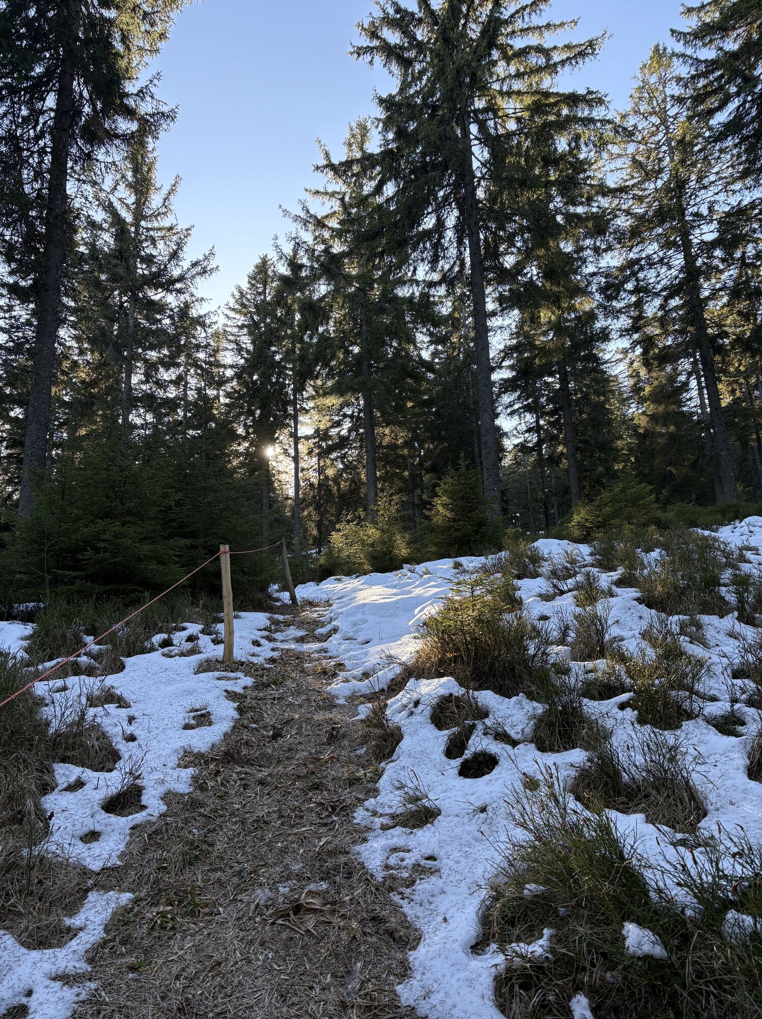
After a settlement, the stream is crossed and a path leads in switchbacks up to a narrow plateau. Continue along the mountainside to an asphalt road. A few meters further, the hike goes up a steep ascent into a hollow path. Continue through the forest and over meadows past two farmsteads until the road is reached. After crossing the asphalt road, a forest track leads into the woods. Shortly afterward, turn left onto a path. After a few minutes' walk, the signposts just above Hornigkreuz are reached.
Follow the signposts "St. Lorenzen/Hühnerkogel" or "Koglereck/Soboth" to the Jamnig farmstead. From here, continue to the Multerer stream, which is crossed by the remains of an old mill. In switchbacks, continue uphill through forest and meadows. Just below St. Lorenzen, the hiking trail joins an asphalt road that leads to the checkpoint at the former Strohmaier inn above the church. After leaving the checkpoint, the path turns sharply right uphill over a pasture. Passing a water basin, the path leads over a fence stile to an asphalt road. After two farmsteads, the road joins a forest track and later turns left into the woods.
Through mixed forest, it goes steeply uphill to the so-called "Jankitz-Trögli". From here, the trail flattens somewhat, and after about 20 minutes, the junction of the "Weintrattl" checkpoint is reached (the checkpoint is indicated on a signpost). Initially, paths 506 and 594 lead together around the Jankitzkogel. From here, the stage follows path No. 594 along the ridge of the Jankitzkogel up to the Koglereck (approx. 3 km).
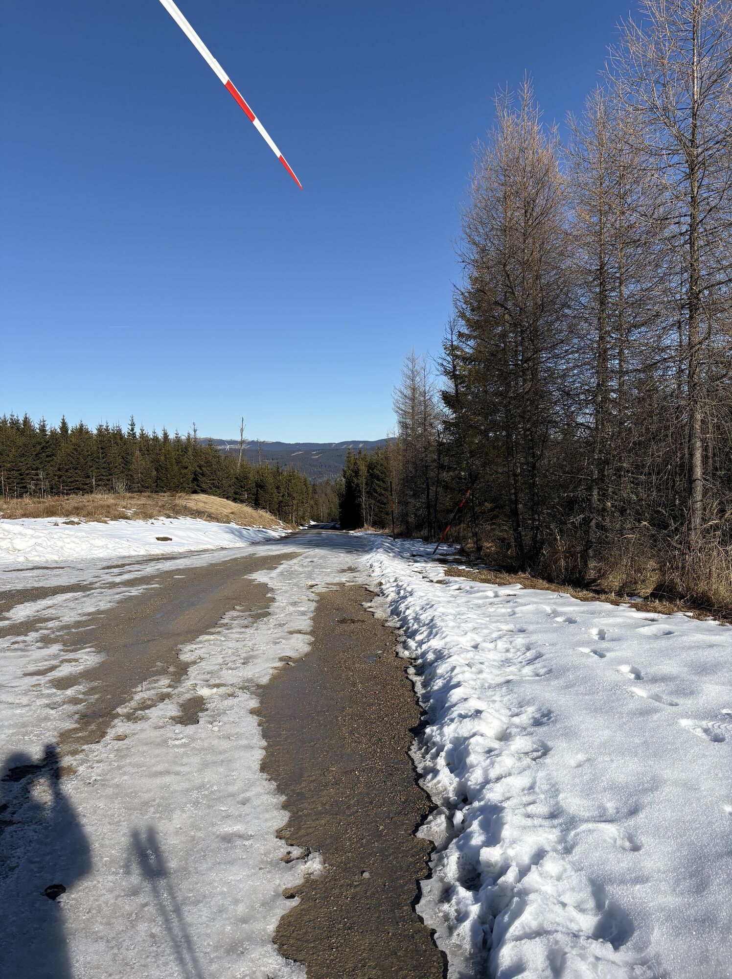
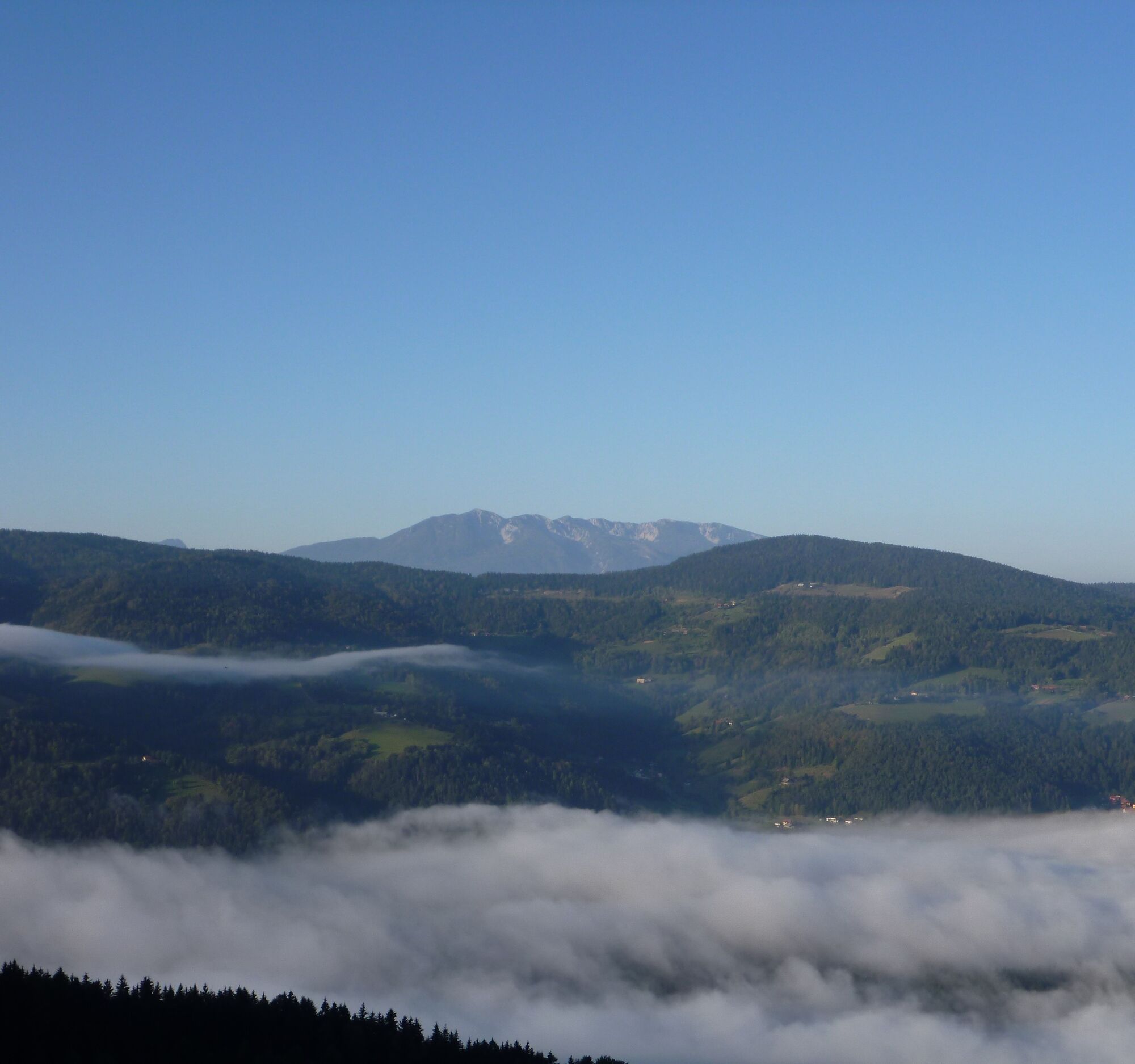
After crossing the Soboth federal road, the path leads right into the woods. Concrete remains of a former cable car installation on the "Brettereck" and a wayside cross at the crossing of a forest road on the "Goßeck" are further waypoints on the first stage. At the end of the tour, you hike over lush alpine pastures, which offer a view of the "Kleinalpl". The destination, the Stiftshütte, is located on the right side of the hiking trail. Take your time and enjoy the magnificent view from the Berensteinerofen.
Áno
Packing list - multi-day hike
Breathable hardshell jacket, fleece or softshell jacket Convertible hiking pants Hiking boots Backpack (approx. 35 liters) Functional T-shirts Functional underwear Pair of hiking socks Sun headgear Rain pants Thin hat and gloves Maps & tour description Water bottle or hydration bladder Hut sleeping bag / silk liner Trekking poles GPS device LED headlamp Mobile phone & alpine emergency number Sunglasses First aid kit Blister plasters Small pocket knife Sunscreen Hygiene articles Travel towel Tour provisions10 recommendations of the Alpine Club
As a nature sport, mountain hiking offers great opportunities for health, community, and experience. The following recommendations of the alpine clubs serve to make mountain hikes as safe and enjoyable as possible.
1. Healthy into the mountains
Mountain hiking is endurance sport. The positive stresses for heart and circulation require health and a realistic self-assessment. Avoid time pressure and choose the pace so that no one in the group gets out of breath.
2. Careful planning
Hiking maps, guide literature, internet and experts provide information about length, altitude difference, difficulty, and current conditions. Always adapt tours to the group! Pay special attention to the weather report, as rain, wind, and cold increase the risk of accidents.
3. Complete equipment
Adapt your equipment to your undertaking and pay attention to a low backpack weight. Rain, cold, and sun protection always belong in the backpack, as well as first aid kit and mobile phone (European emergency number 112). Map or GPS support orientation.
4. Suitable footwear
Good hiking boots protect and relieve the foot and improve surefootedness! When choosing, watch perfect fit, non-slip sole, waterproofness, and low weight.
5. Surefootedness is key
Falls, due to slipping or tripping, are the most common cause of accidents! Note that too high speed or tiredness strongly impair your surefootedness and concentration. Warning rockfall: Careful walking avoids loosening stones.
6. Stay on marked paths
In pathless terrain, the risk of loss of orientation, falls, and rockfall increases. Avoid shortcuts and return to the last known point if you have strayed off the path. Often underestimated and very dangerous: steep old snowfields!
7. Regular breaks
Timely rest serves recovery, enjoyment of the landscape, and sociability. Eating and drinking are necessary to maintain performance and concentration. Isotonic drinks are ideal thirst quenchers. Muesli bars, dried fruit and cookies satisfy hunger on the way.
8. Responsibility for children
Note that variety and playful discovery are the focus for children! In sections with risk of falling an adult can only supervise one child. Very exposed routes requiring long-lasting concentration are not suitable for children.
9. Small groups
Small groups ensure flexibility and allow mutual help. Inform trusted persons about destination, route, and return. Stay together as a group. Attention solo hikers: even small incidents can lead to serious emergencies.
10. Respect nature and environment
To protect mountain nature: Do not leave any waste, avoid noise, stay on paths, do not disturb wild and grazing animals, leave plants untouched and respect protected areas. Use public transport or form car pools for arrival.
see route planner
Arrival possible by Postbus - info at ÖBB - Postbus
Parking available at Gasthof Hüttenwirt.
Checkpoints:
former Gasthof Strohmaier Weintrattl StiftshütteAccommodation options:
Gasthof HüttenwirtInformation about the region:
Information about the tour:
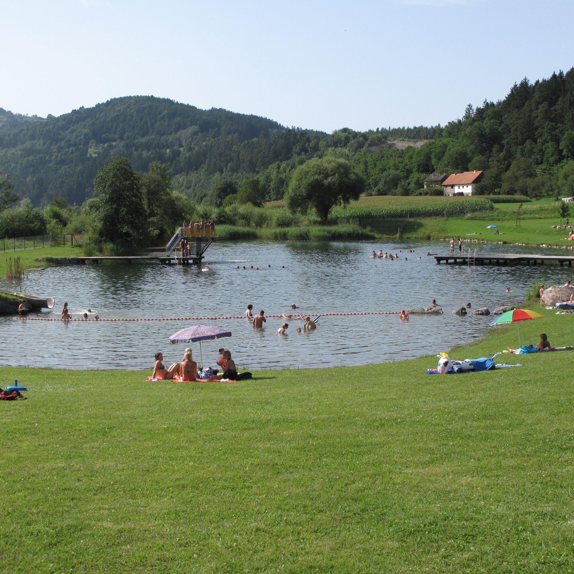
Info at Kletterzentrum - Alpenverein Wolfsberg. Bathing lake Lavamünd
Info at Bathing lake Lavamünd.
Obľúbené výlety v okolí
-
4,7
Koralpe: hike to the summit cross
svetloZimná turistika 4,23 km -
5,0
Koralpe: Hike to the Großer Speikkogel
strednáSnežnice 10,5 km -
4,2
St. Paul: Klettergarten und Klettersteig Rabenstein
strednáVia ferrata 0,89 km -
4,8
Großer Speikogel, Koralpe, Kärnten
svetloHorská turistika 8,46 km -
4,7
St. Paul: Most Hiking Trail 1-3
ťažkéTuristika 22,0 km -
4,3
Soboth Runde St.Vinzenz-Dreieckhütte-Gundischhütte
svetloTuristika 12,4 km -
2,9
Lavamünd: Klettergarten u. Klettersteig Dreifaltigkeitsfelsen
strednáVia ferrata 1,11 km -
4,6
St. Andrä: climbing garden and via ferrata Eitweg
strednáVia ferrata 0,61 km -
3,5
Brendlhütte - lange Runde
strednáTuristika 11,7 km -
4,5
Spazierweg Stausee Soboth
svetloTuristika 3,75 km

Turistika a stopovanie


Nenechajte si ujsť ponuky a inšpiráciu na ďalšiu dovolenku
Vaša e-mailová adresa bol pridaný do poštového zoznamu.