







Findenig (2,016 m) GS_N8
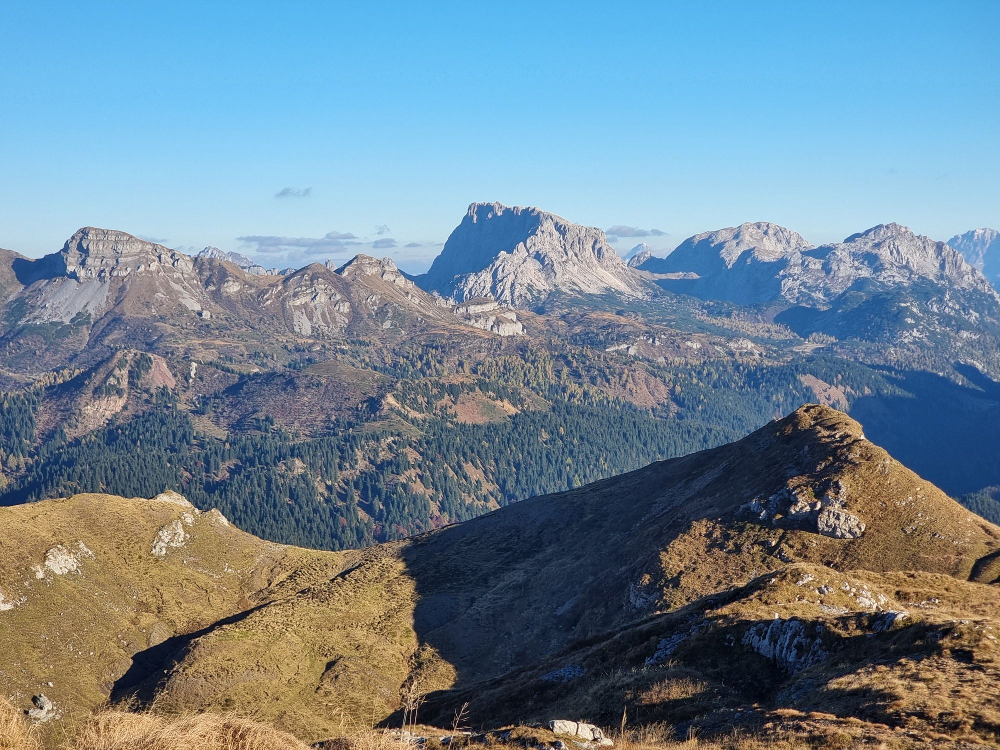

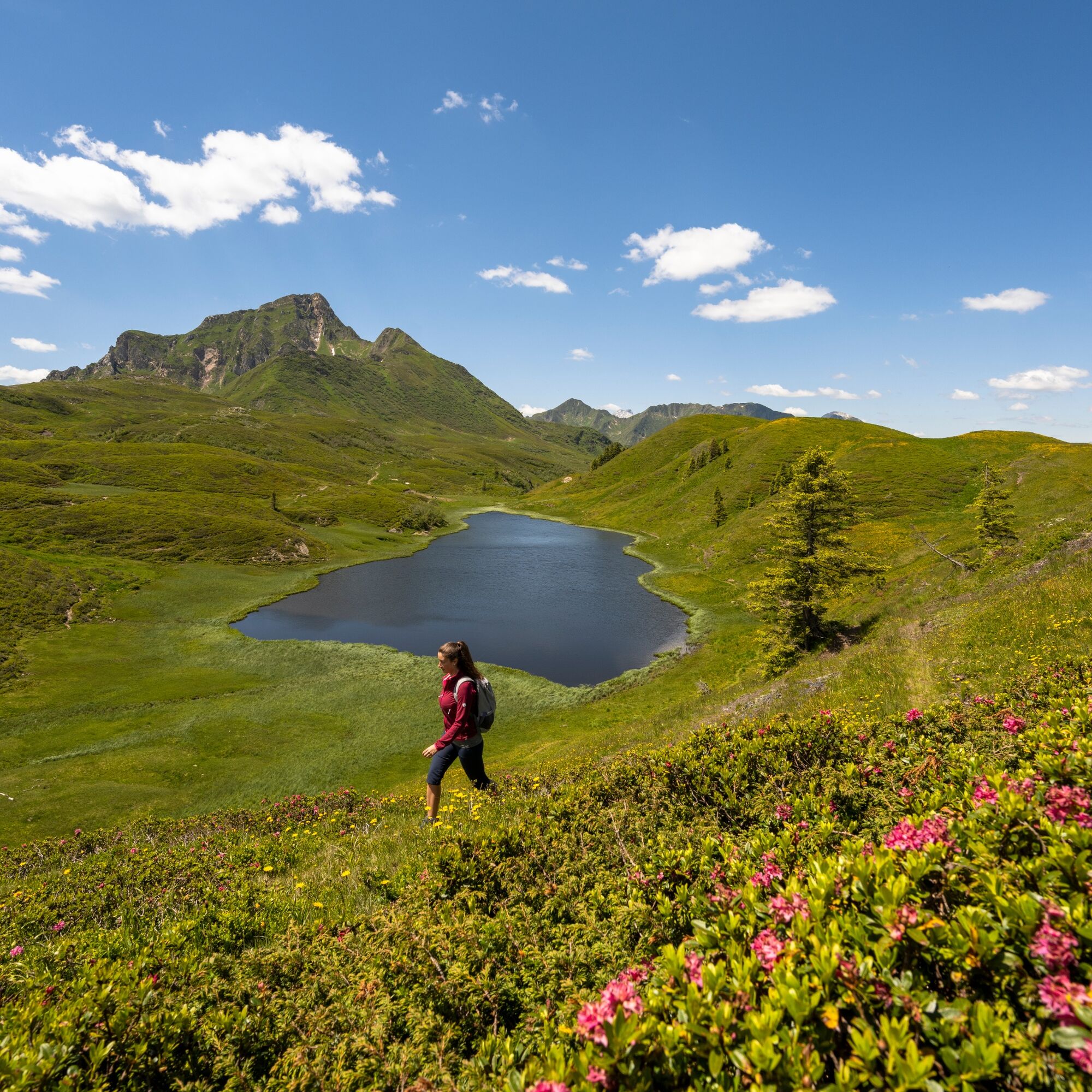
The hike takes you through the idyllic landscape of the Carnic Alps and connects natural gems like Zollnersee with unique geological highlights and alpine visits.

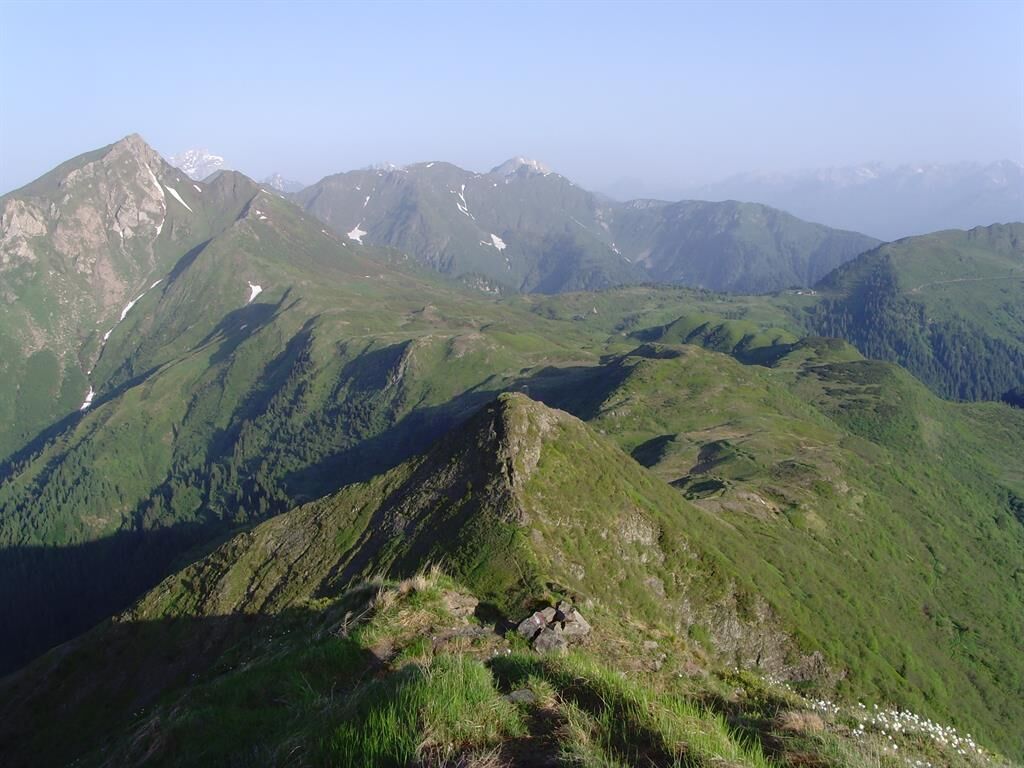
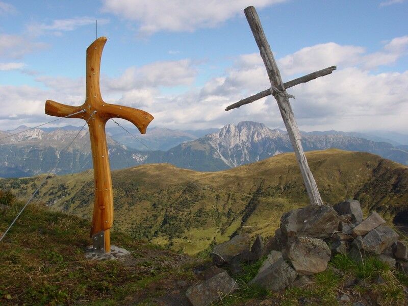
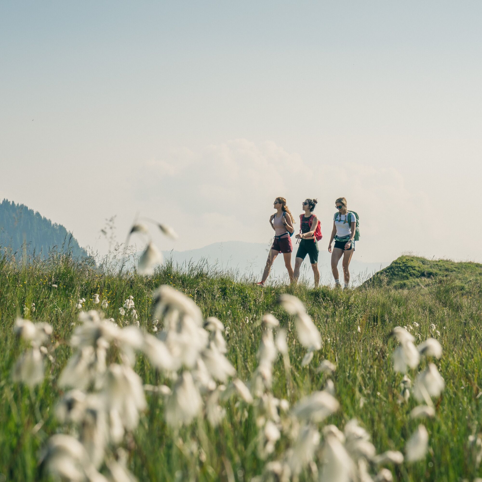


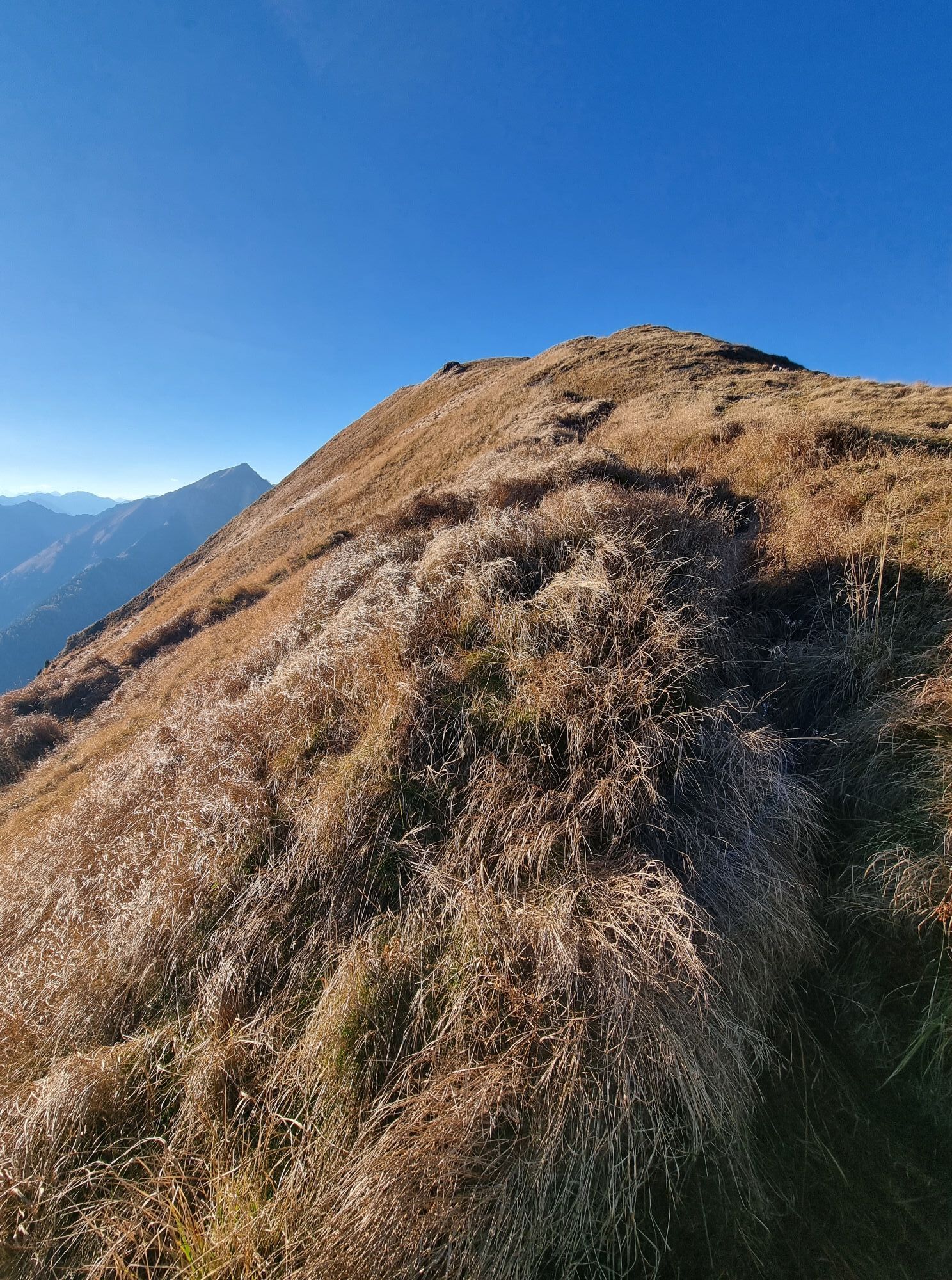
From the Waidegger Alm you initially hike south until you reach the large fork with the Carnic High Trail No. 403 (at approx. 1,830 m). You go straight ahead, crossing the path, continuing towards Lodingtörl. The path now runs westwards, first gently and then ascending after the Törl, upwards over the ridge of the Findenigkofel.
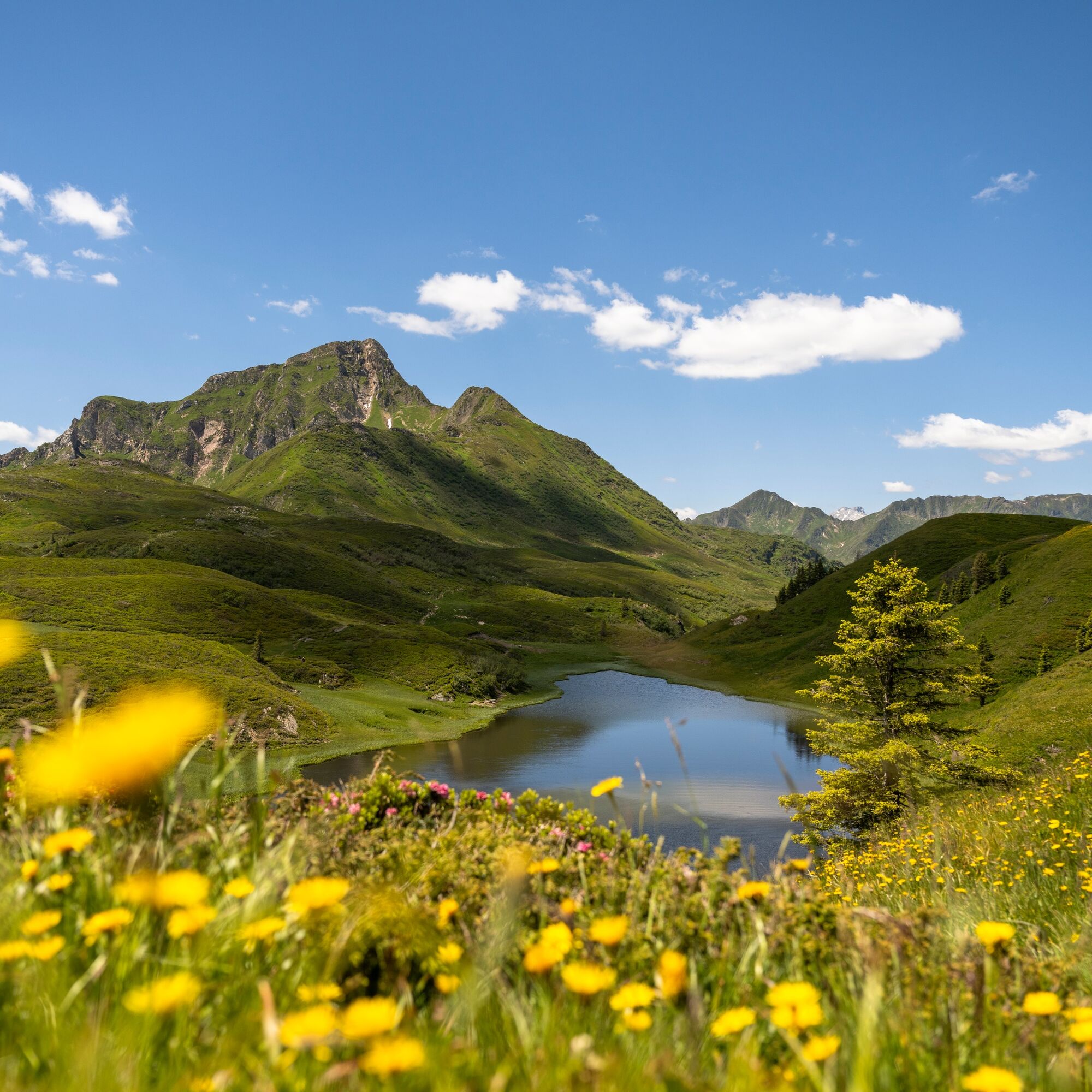
From the summit cross you hike westward over the summit area, over the Kleine Findenigkofel, descending to the Lodinutpass. At the fork you follow the route straight ahead and subsequently reach Zollnersee.
Now you hike back eastwards along the same path until at the junction where the path from the Findenig (which you came from) meets the Carnic High Trail, you keep straight/slightly left. The route then leads you below the Findenig back to your starting point.
Áno
Áno
Mindfulness for nature – landowners – your health... and safety on the mountain have the highest priority for your tour and the related tour planning!
Therefore, before every hike, inform yourself about the rules of conduct - Safety on the Mountain - as well as the current weather conditions.
Waste disposal:
Waste is not always avoidable - but it has no place in nature and must be disposed of properly (preferably in the valley or at home).
Emergency numbers:
European emergency number: 112 (accessible on every available network)
Alpine emergency Austria: 140
From Hermagor via the B111 (Gailtal Road) to Kirchbach - turn onto L24 there and continue to Goderschach - from here follow the gravel road to Straniger Alm and then on to Waidegger Alm.
Or from Oberdrauburg via the B110 (Plöcken pass road) to Kötschach-Mauthen and from there via the B111 (Gailtal road) further to Dellach - turn onto L21 there and then continue via L24 to Gorderschach - from there follow the gravel road to Straniger Alm or further to Waidegger Alm.
Public transport:
The most sustainable travel option is by train to Oberdrauburg (coming from Lienz or Villach) or to Hermagor (coming from Villach).
From Oberdrauburg or Hermagor you then reach the town of Reisach by bus. Here you change to the bus to Goderschach and then continue by Almshuttle (telephone registration at the Hermagor mobile office is necessary).
Details at - Mobility information Nassfeld as well as Route planner Carinthian Lines
Please observe any parking instructions from the respective landowners as well as the applicable legal regulations.
You will find this and many other information under - Tour tips and provider information
Places to eat:
- Zollnersee hut (depending on the season)
- Waidegger Alm (depending on the season)
In Griminitzen, Goderschach and the surrounding villages there are numerous places open all year round for meals - details available under Service A-Z.
The route runs along the summit area of the Geotrails TW_N10 - which also represents a very interesting extension for the summit climber hike.
In the area of Zollnersee there is another Geotrail (TW_N18) - which runs at the foot of the Kleine Trieb, past the Zollnersee hut.
There is also the option to combine the tour with sections of the RW_N42.
 Získajte prehľad
Vždy naživo na mieste s viac ako 9 500 webovými kamerami. bergfex Ako používateľ Pro si teraz môžete pozrieť príslušné webové kamery pre mnohé zájazdy v aplikácii zájazdy z. Môžete si tak priamo prezerať aktuálne podmienky.
Získajte prehľad
Vždy naživo na mieste s viac ako 9 500 webovými kamerami. bergfex Ako používateľ Pro si teraz môžete pozrieť príslušné webové kamery pre mnohé zájazdy v aplikácii zájazdy z. Môžete si tak priamo prezerať aktuálne podmienky.
Obľúbené výlety v okolí
-
3,7
Cellon-Stollen und Senza Confini auf den Cellon und Steinberger Weg zum Abstieg
strednáVia ferrata 7,09 km -
3,7
Hermagor: Gartnerkofel
Turistika 7,70 km -
5,0
Plöckenhaus - Polinik - Plöckenhaus
ťažkéTuristika 10,9 km -
3,7
RW_N61 Kleiner Pal (1,867 m)
ťažkéTuristika 6,52 km -
4,6
KL_N5 Crete Rosse
strednáVia ferrata 6,96 km -
4,7
ST_N9 Madritschen (1,918 m)
Skitour 2,71 km -
5,0
Möselalm - Weißbriach/Gitschtal
svetloTuristika 5,12 km -
5,0
Nassfeld - Winklalm - Madritschen - Nassfeld
svetloTuristika 7,29 km -
4,6
Circular route Weißbriach via Bravensteig (No. 7) to Möselam, return via Möselalmweg (No. 6) to Weißbriach - Weißbriach/Gitschtal
strednáTuristika 9,28 km -
5,0
Frischenkofel
strednáTuristika 5,25 km
Turistika a stopovanie


Nenechajte si ujsť ponuky a inšpiráciu na ďalšiu dovolenku
Vaša e-mailová adresa bol pridaný do poštového zoznamu.





