


Kobesnock – crossing
The Kobesnock is the highest peak of the Bleiberger Erzberg. Good reason enough to call it, alongside the Dobratsch, the little local mountain of Bad Bleiberg.

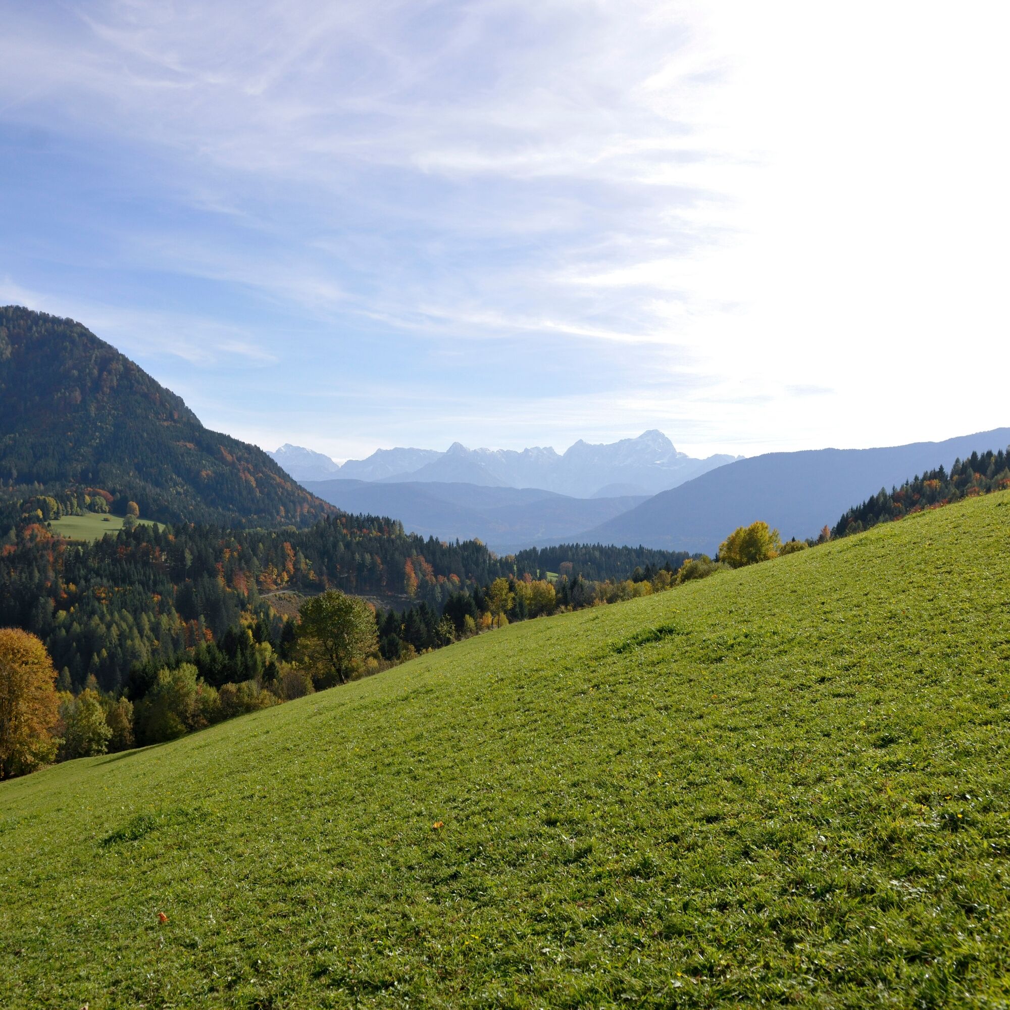
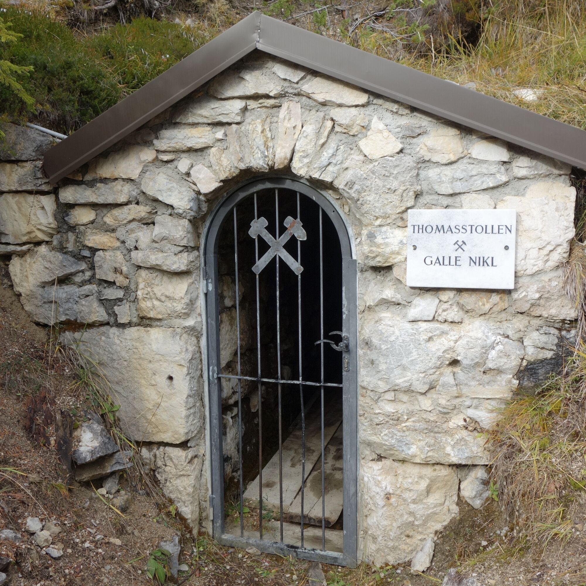
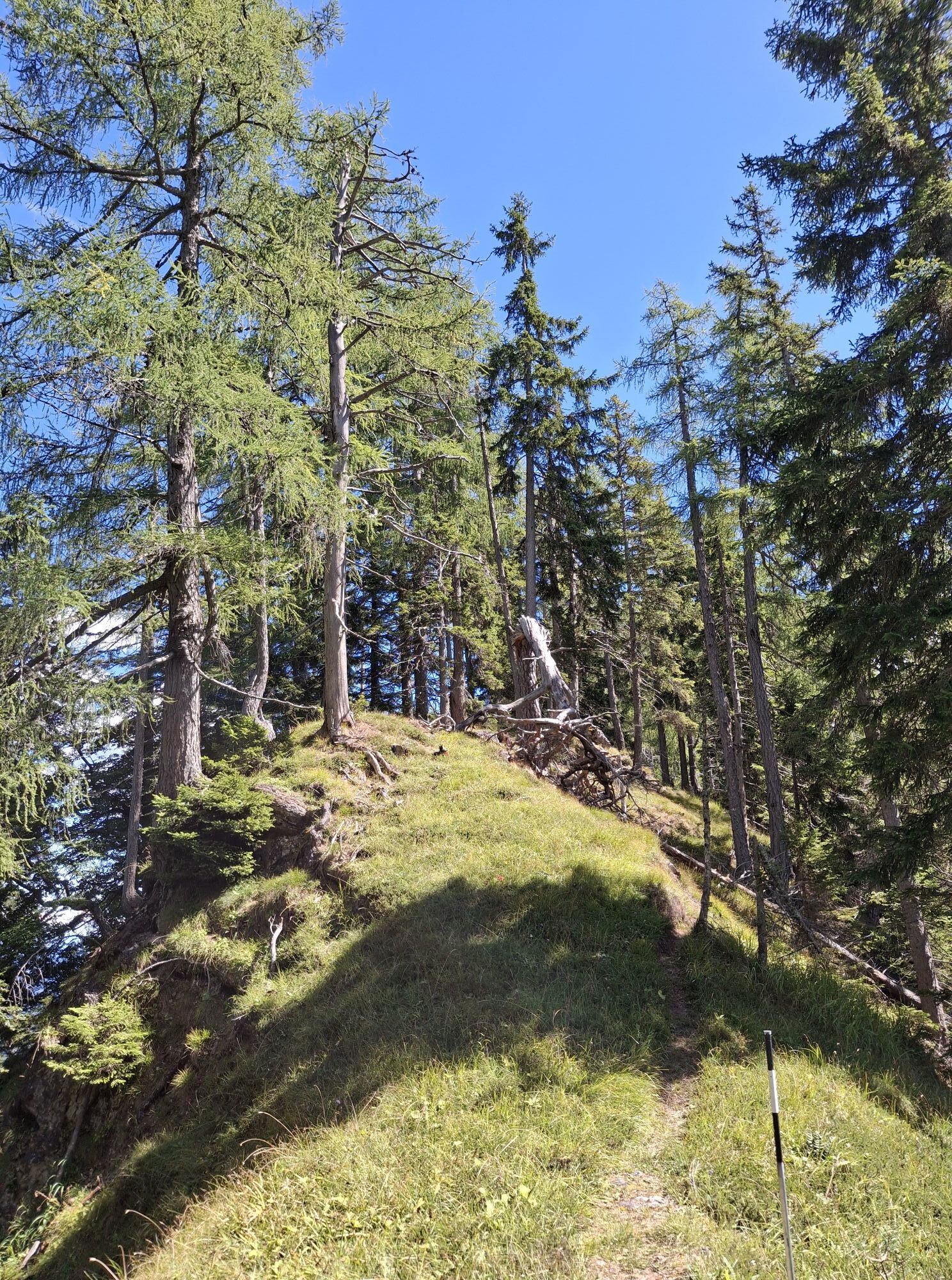
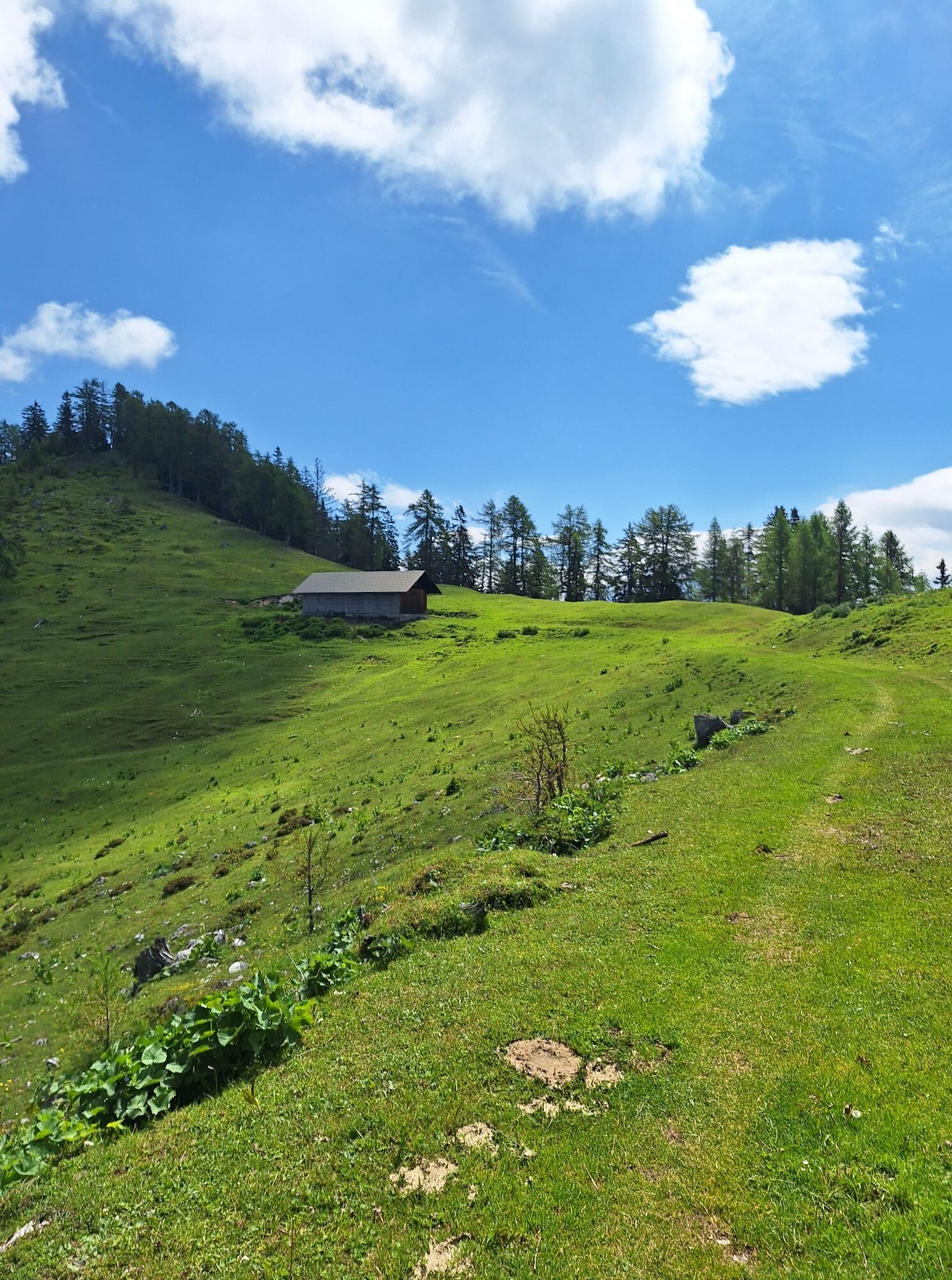
From Bleiberg-Kreuth, walk along the village street towards Fuggertal and take the wide service road under the avalanche barriers (trail no. 11) heading east. After a few minutes' walk, turn left (barrier) and follow the steeper gravel road to the first hairpin bend. Here you leave the road and turn onto the steep path (trail no. 12) through pine forest. Partly walk over sandy-scree steps to the rest area (spring) near one of the numerous mining tunnels of the Bleiberger ore mountain.
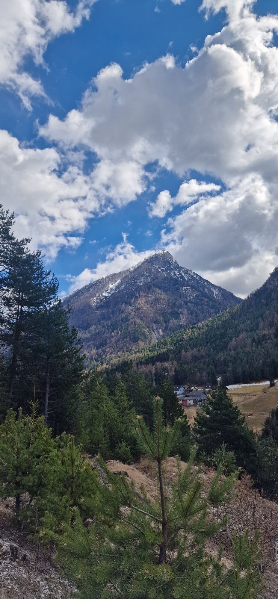
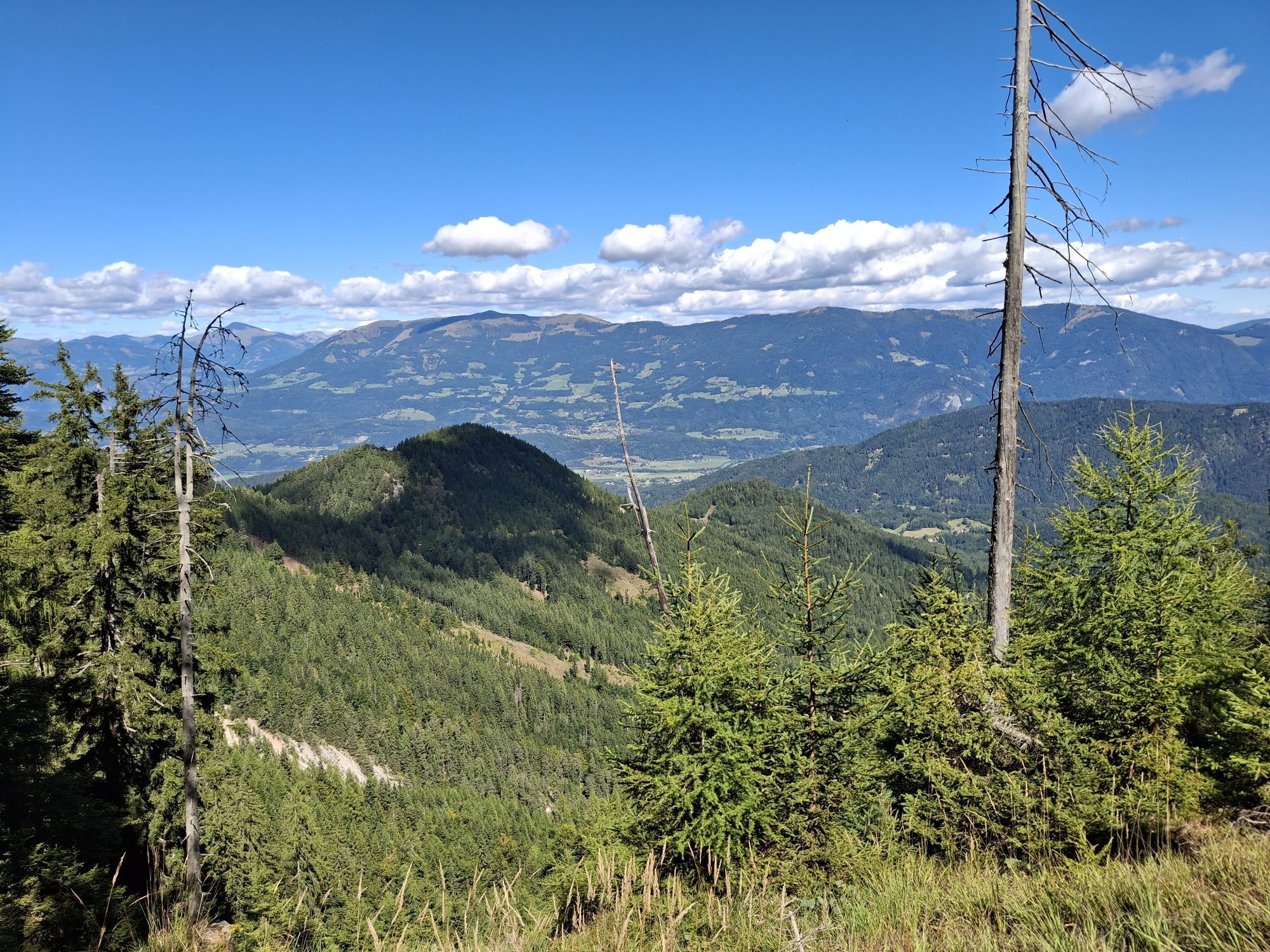
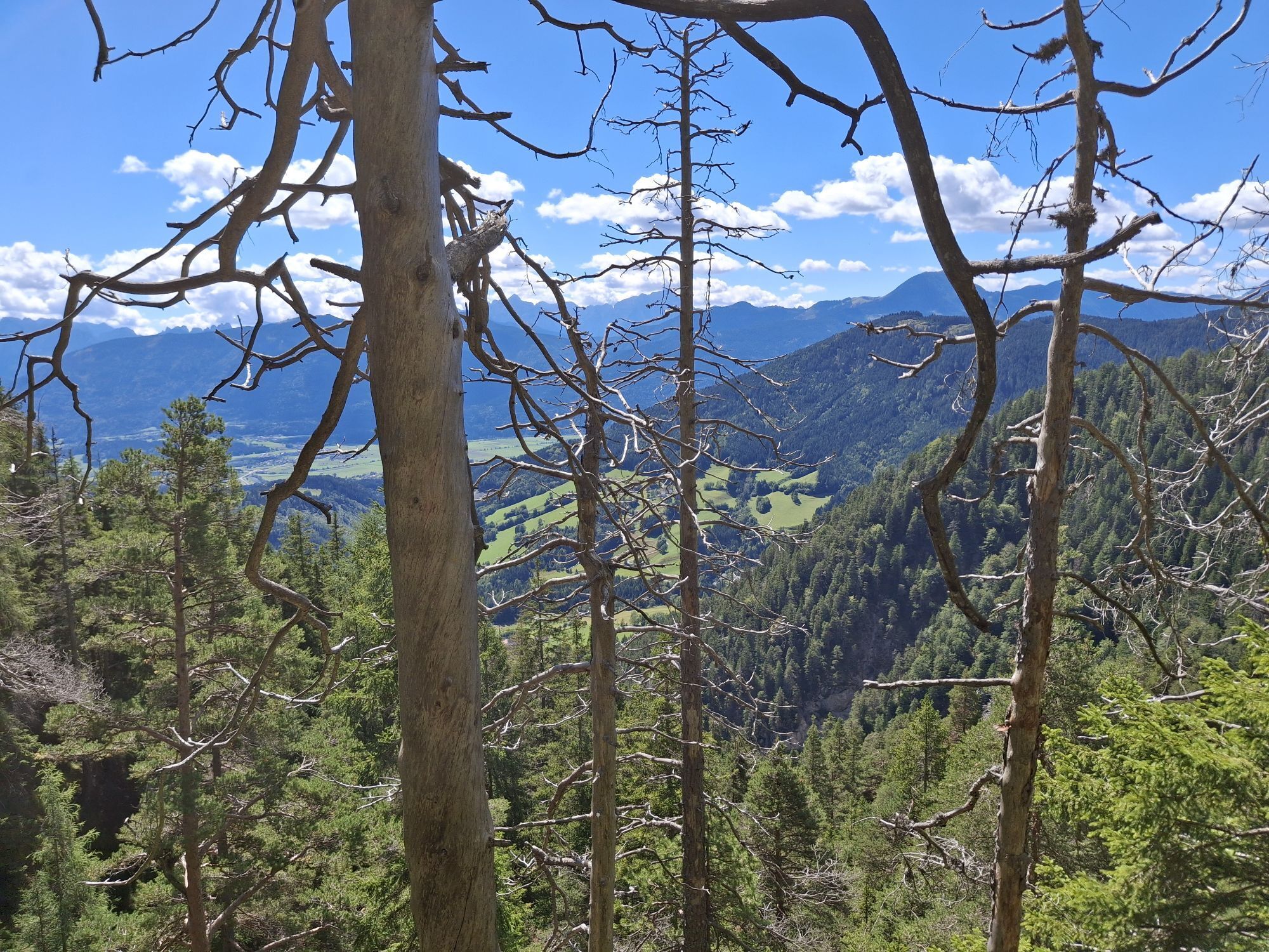
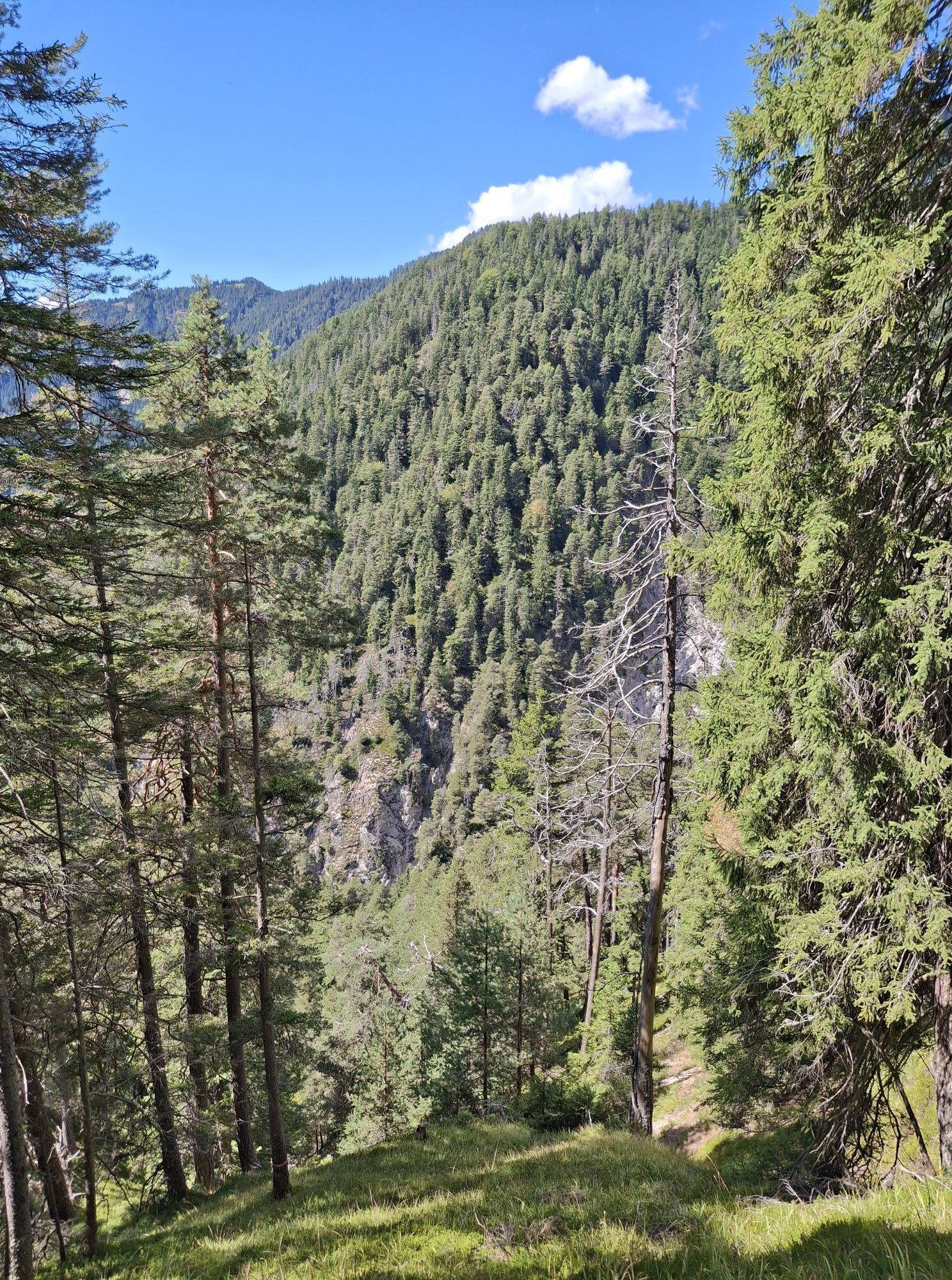
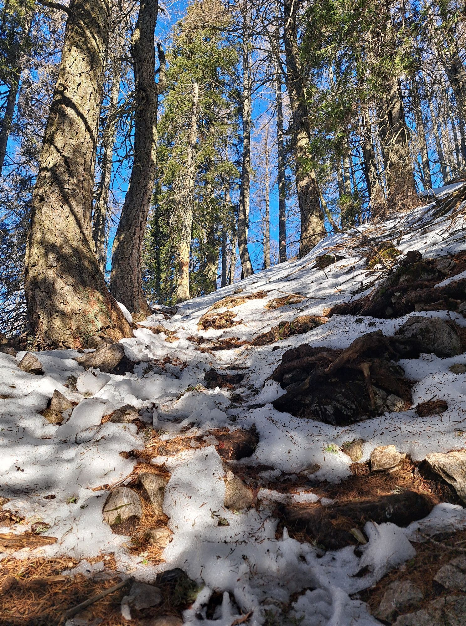
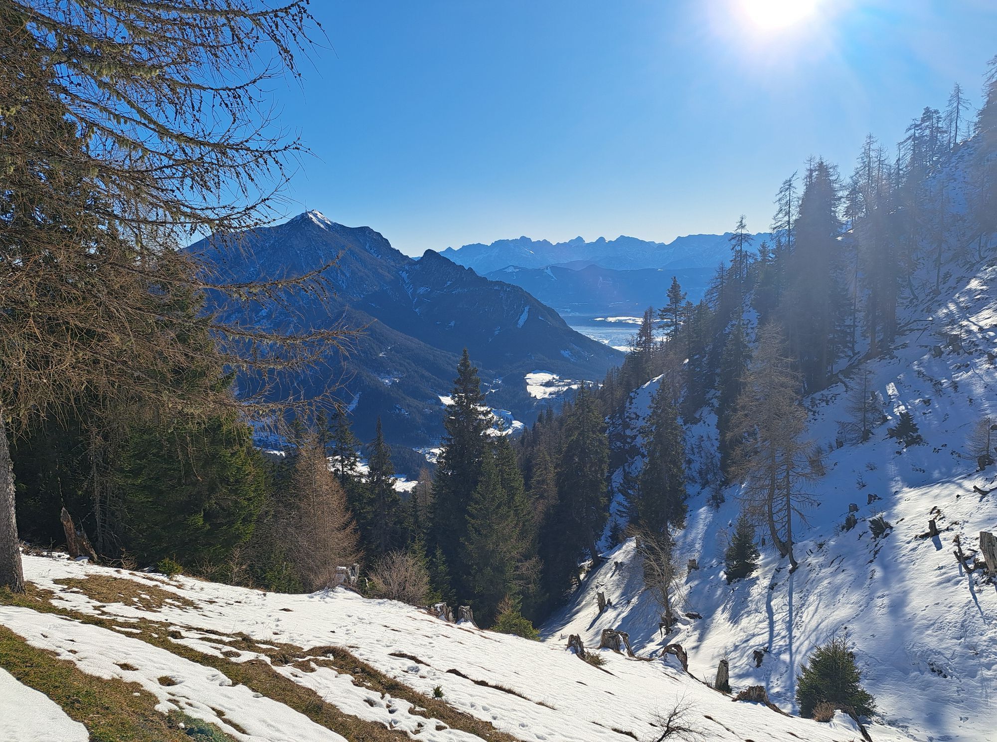
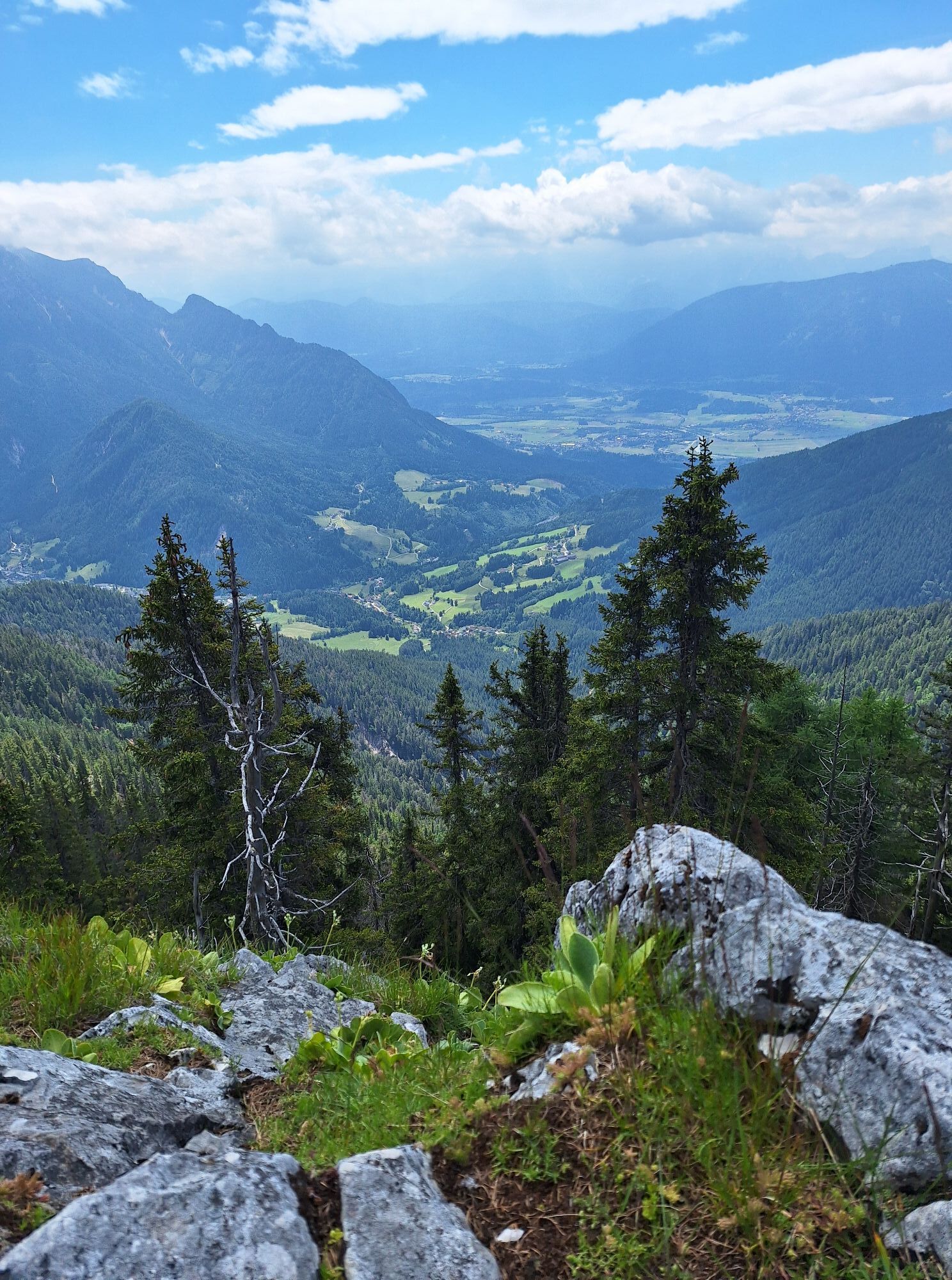
Now follow the narrow and partly steep path through the mountain forest on the slopes of the Sattlernock (east of the Sattlergraben). A sandy ravine drop must be crossed on a narrow sandy path (ropes available for holding). Continue over numerous switchbacks steeply upwards towards Zeber (1,480 m), a saddle between Sattler- and Zebernock. Before reaching the saddle "Zeber" the narrow path loses steepness but crosses the slope on descending terrain.
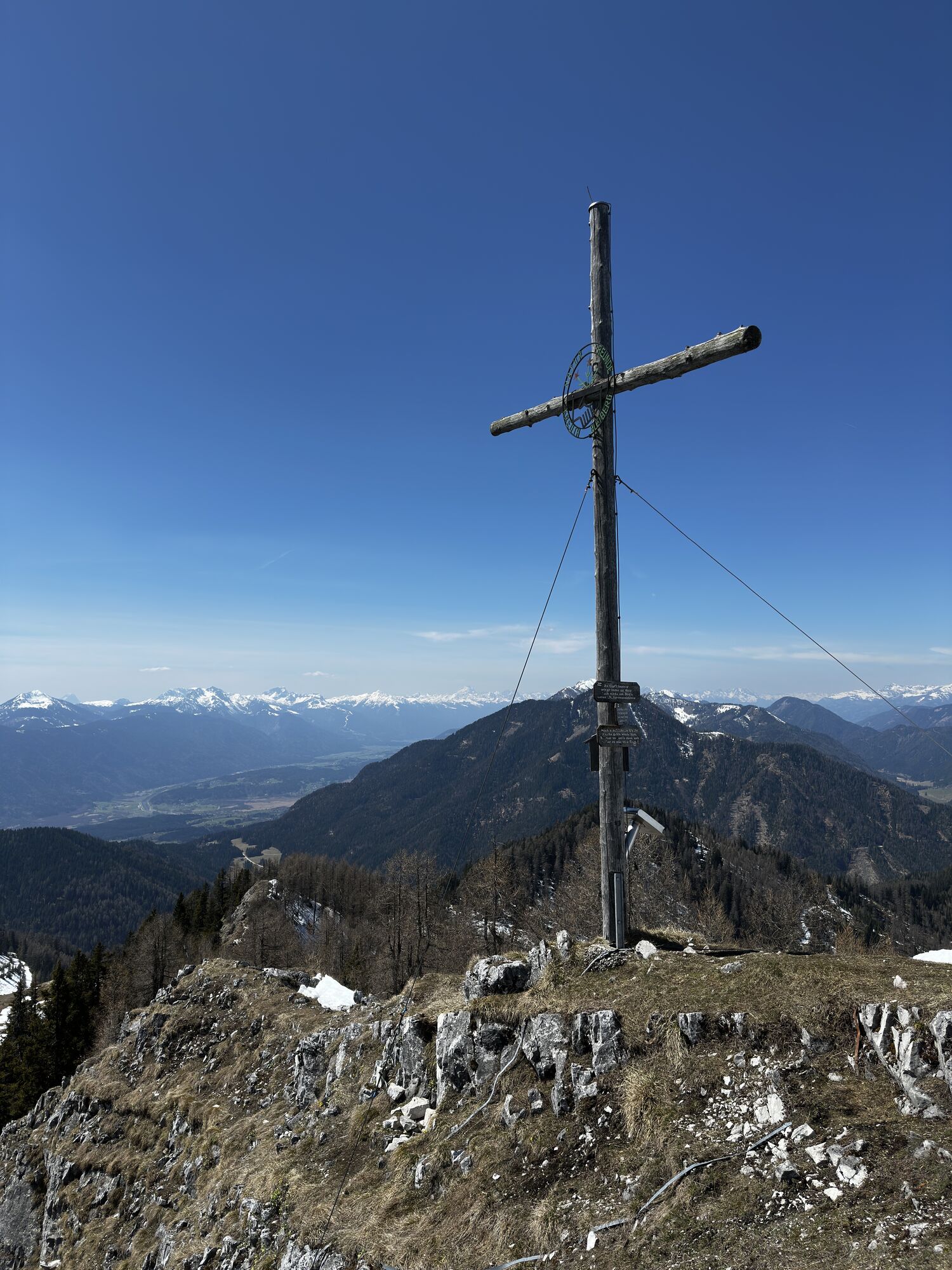
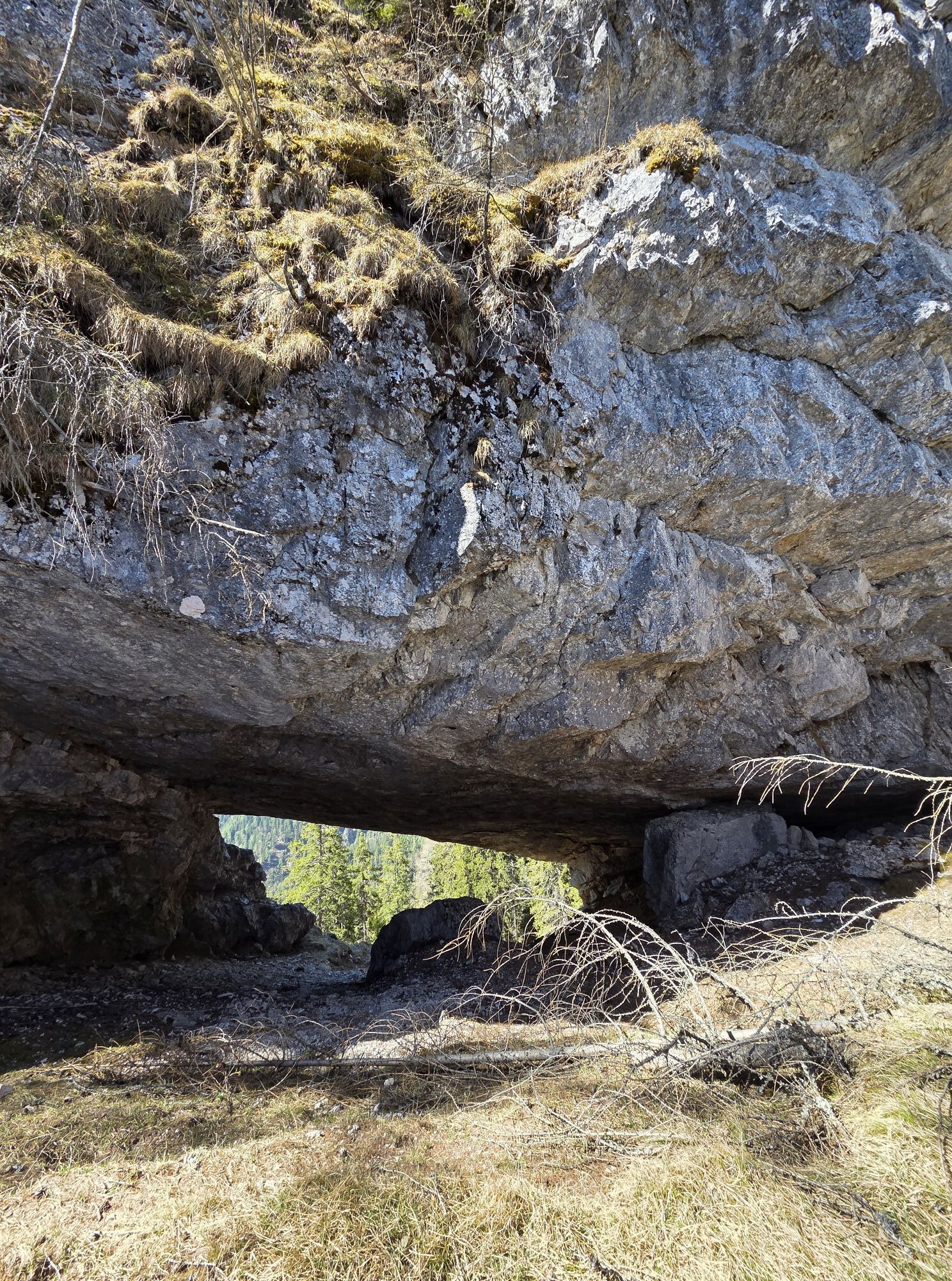
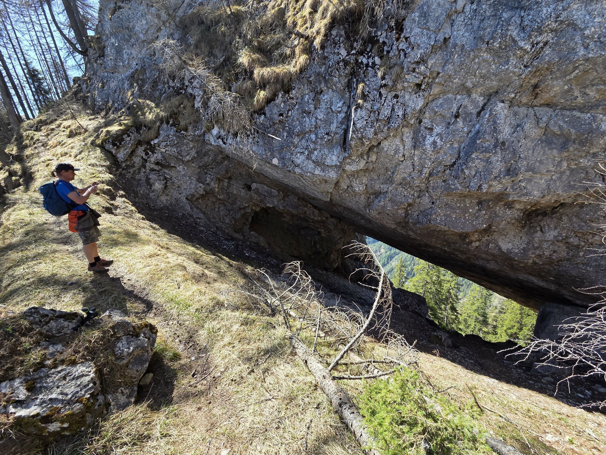
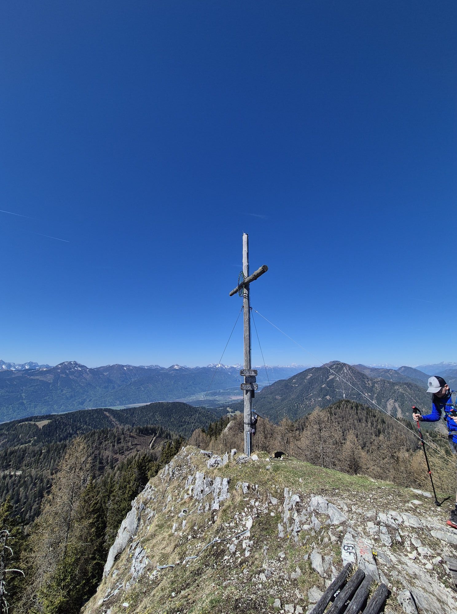
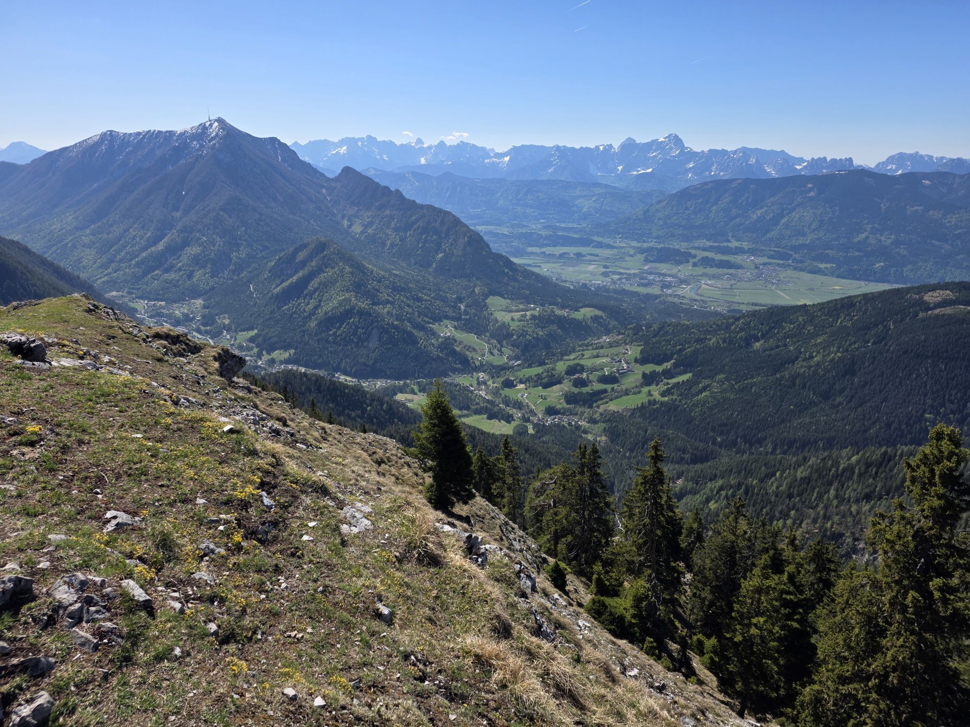
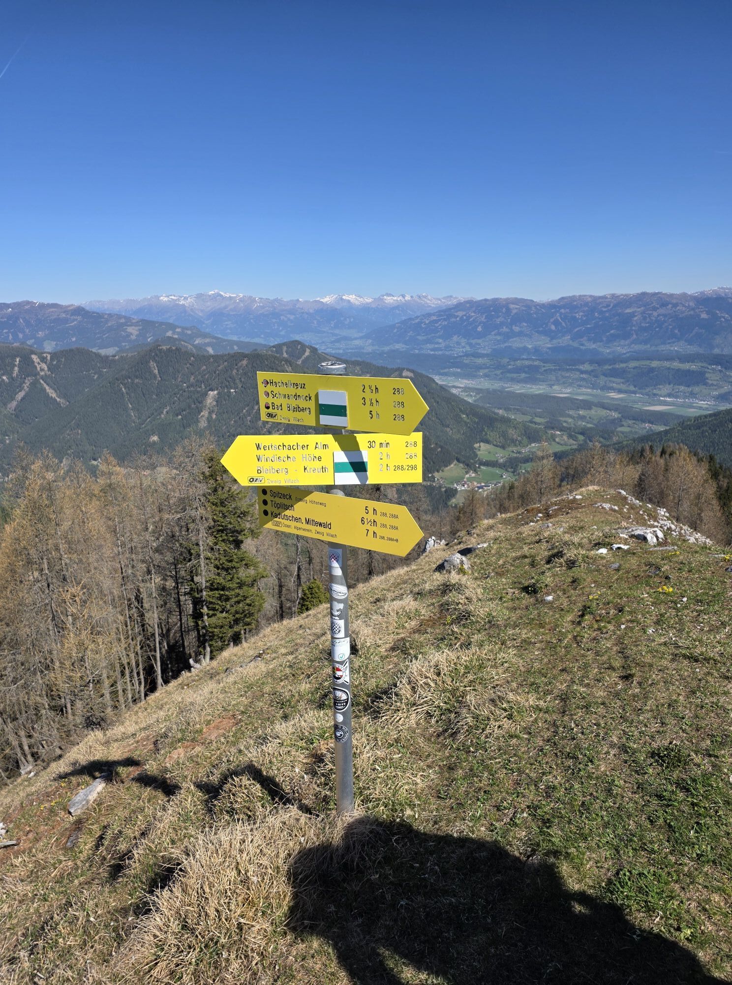
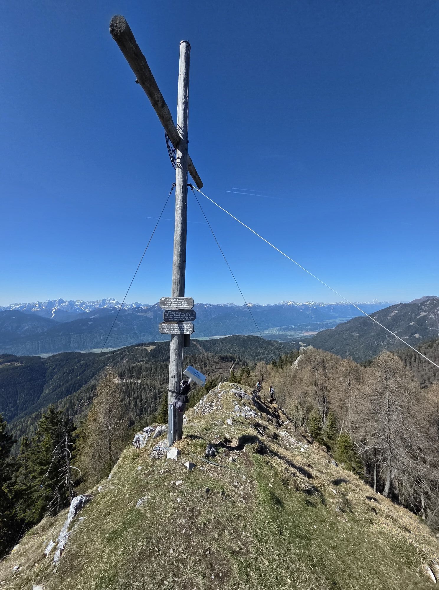
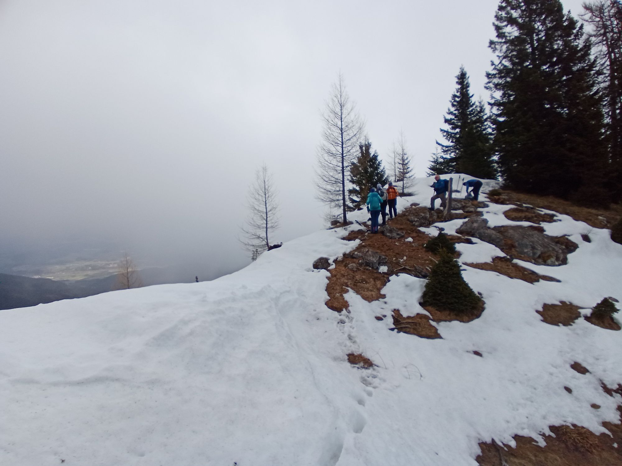
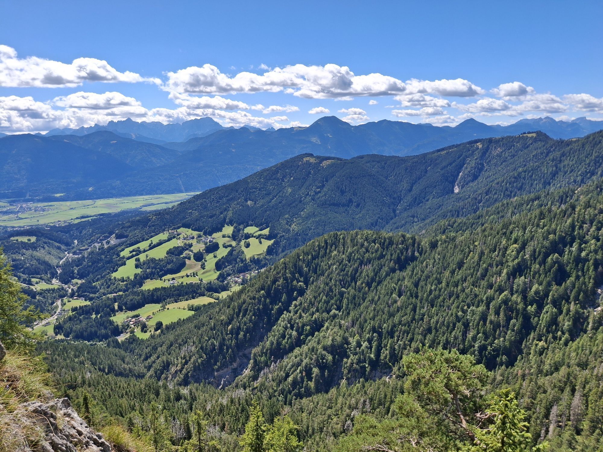
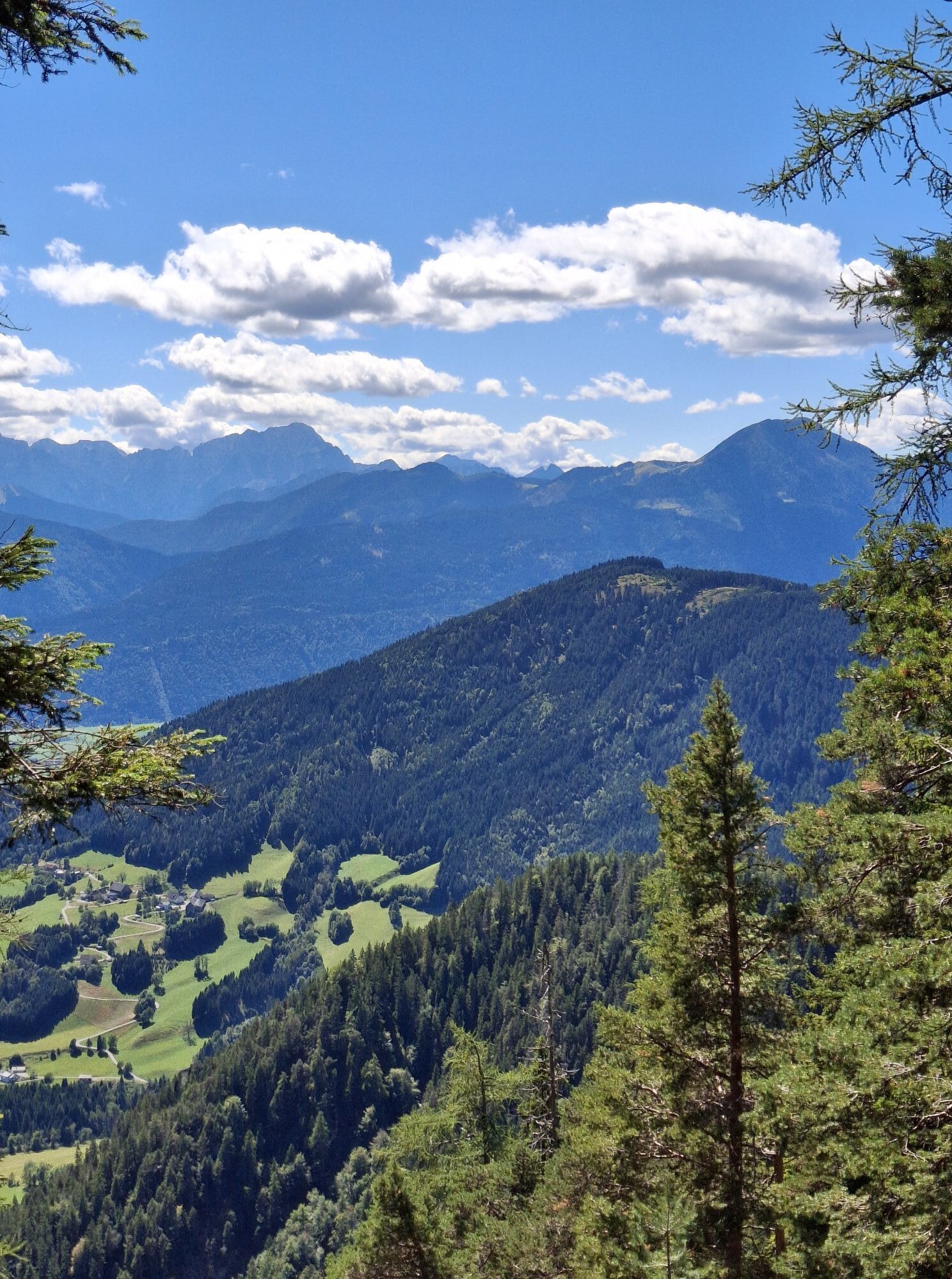
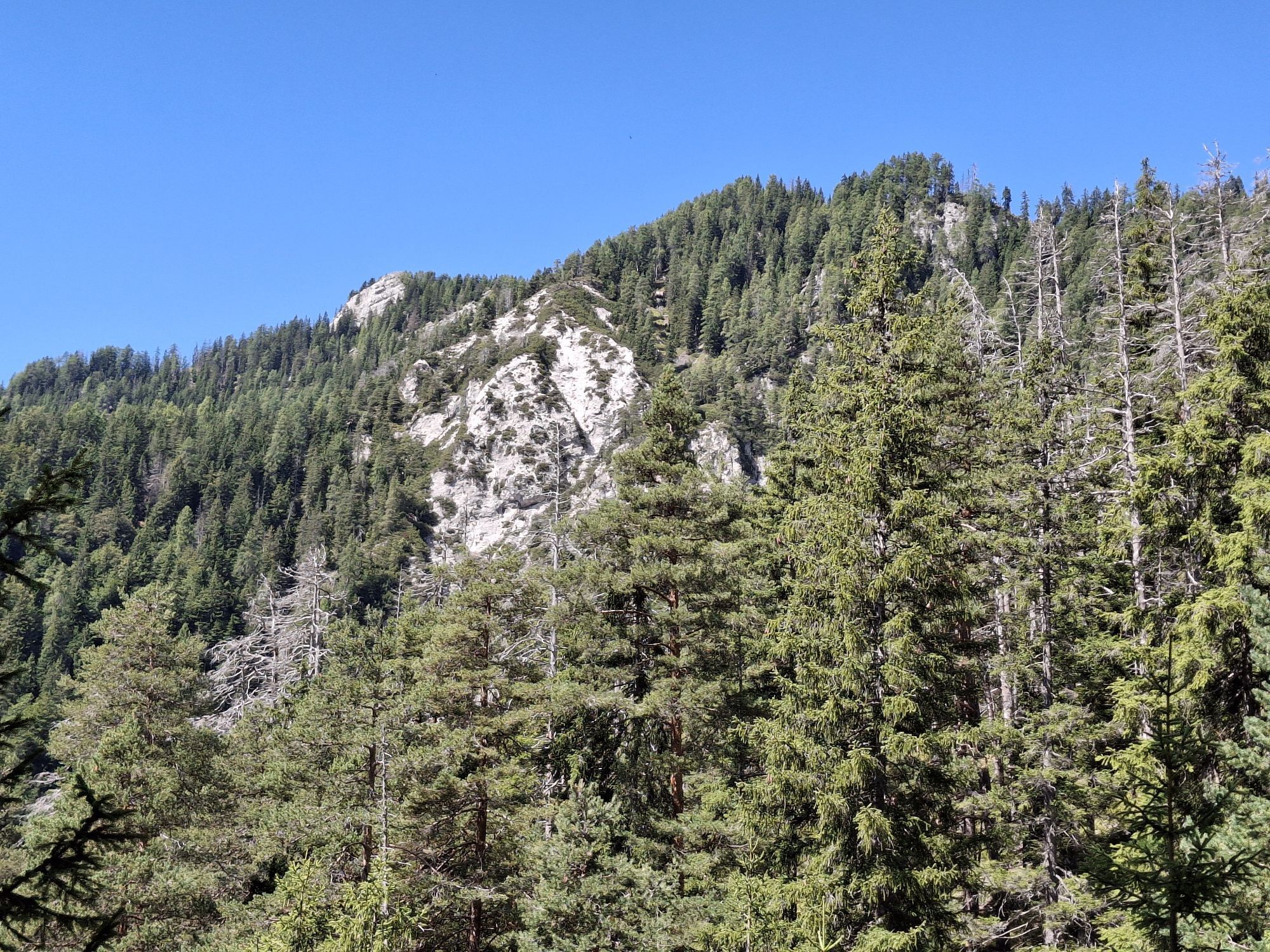
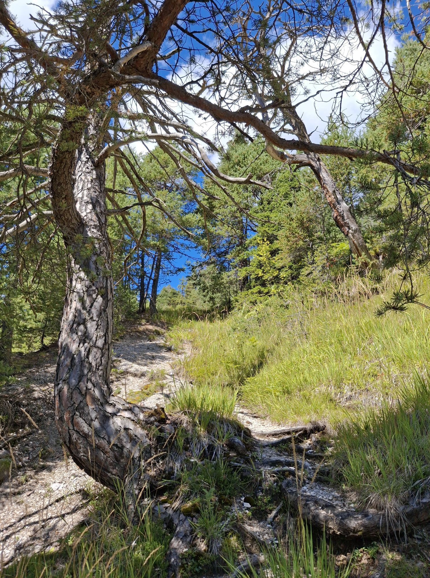
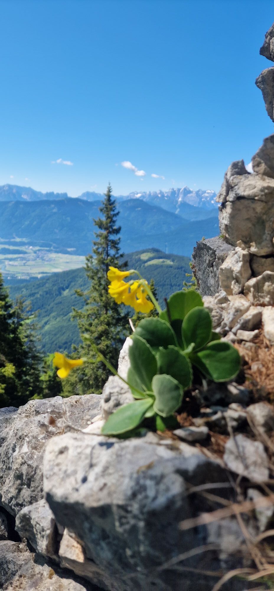
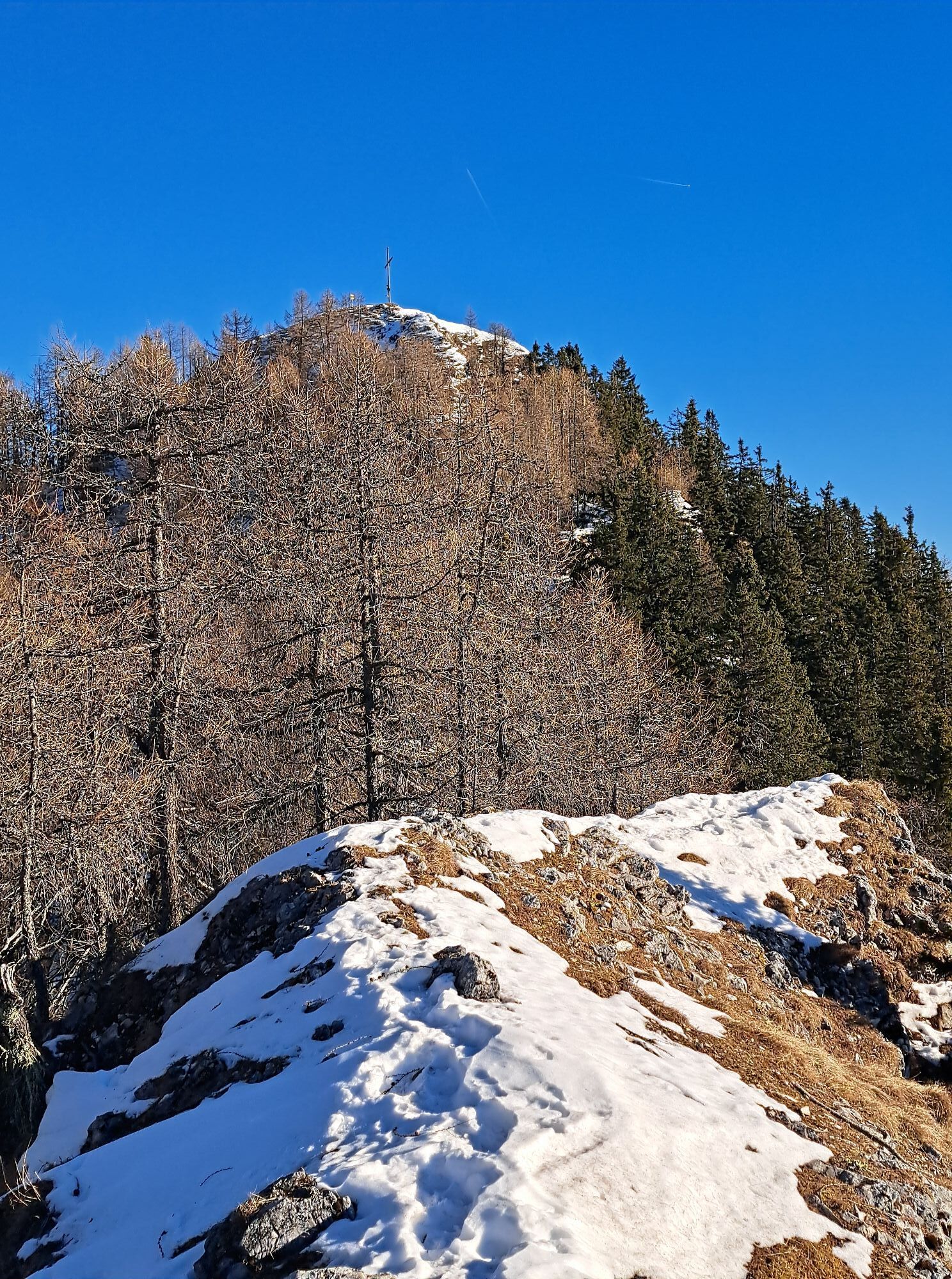
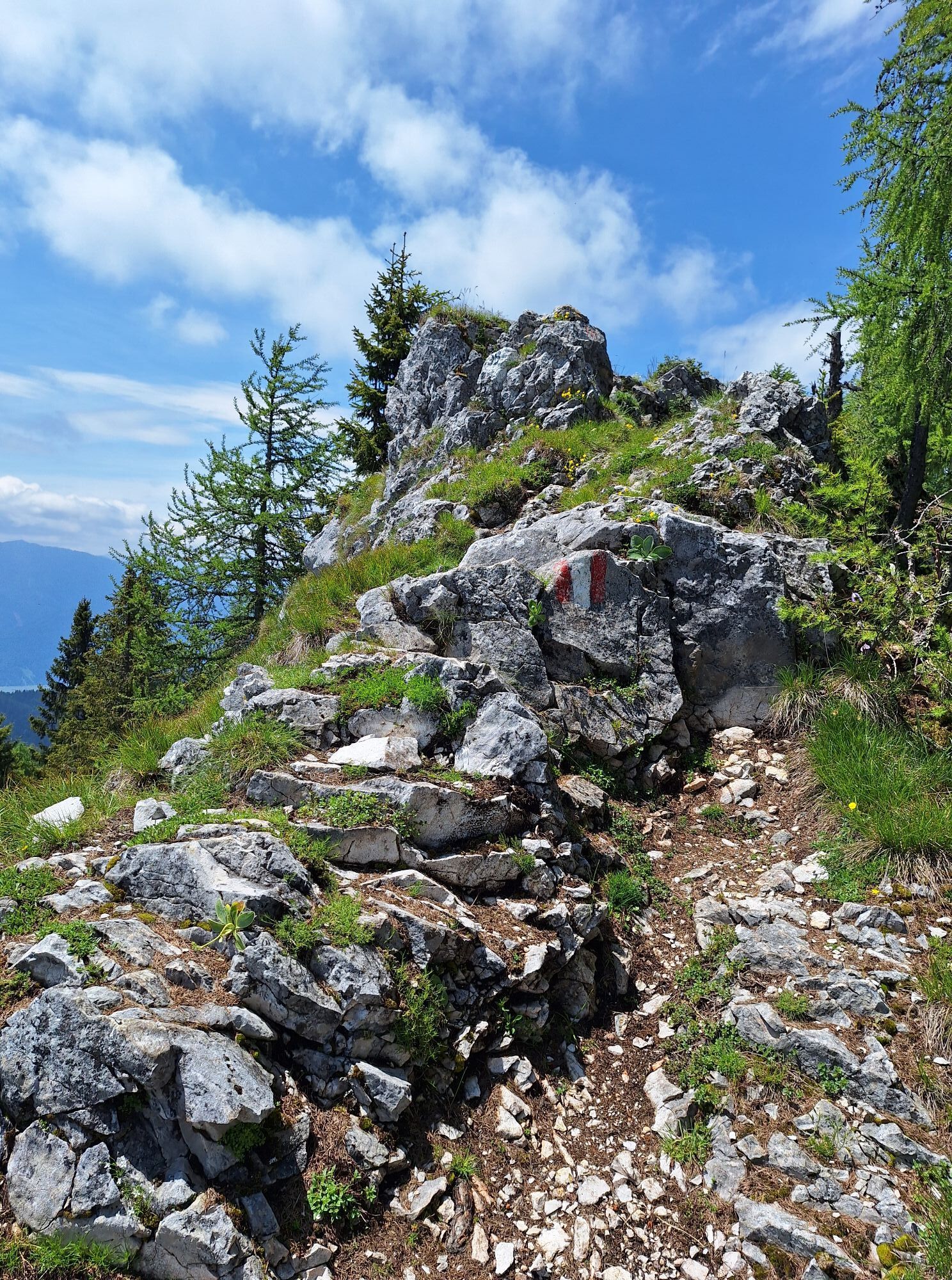
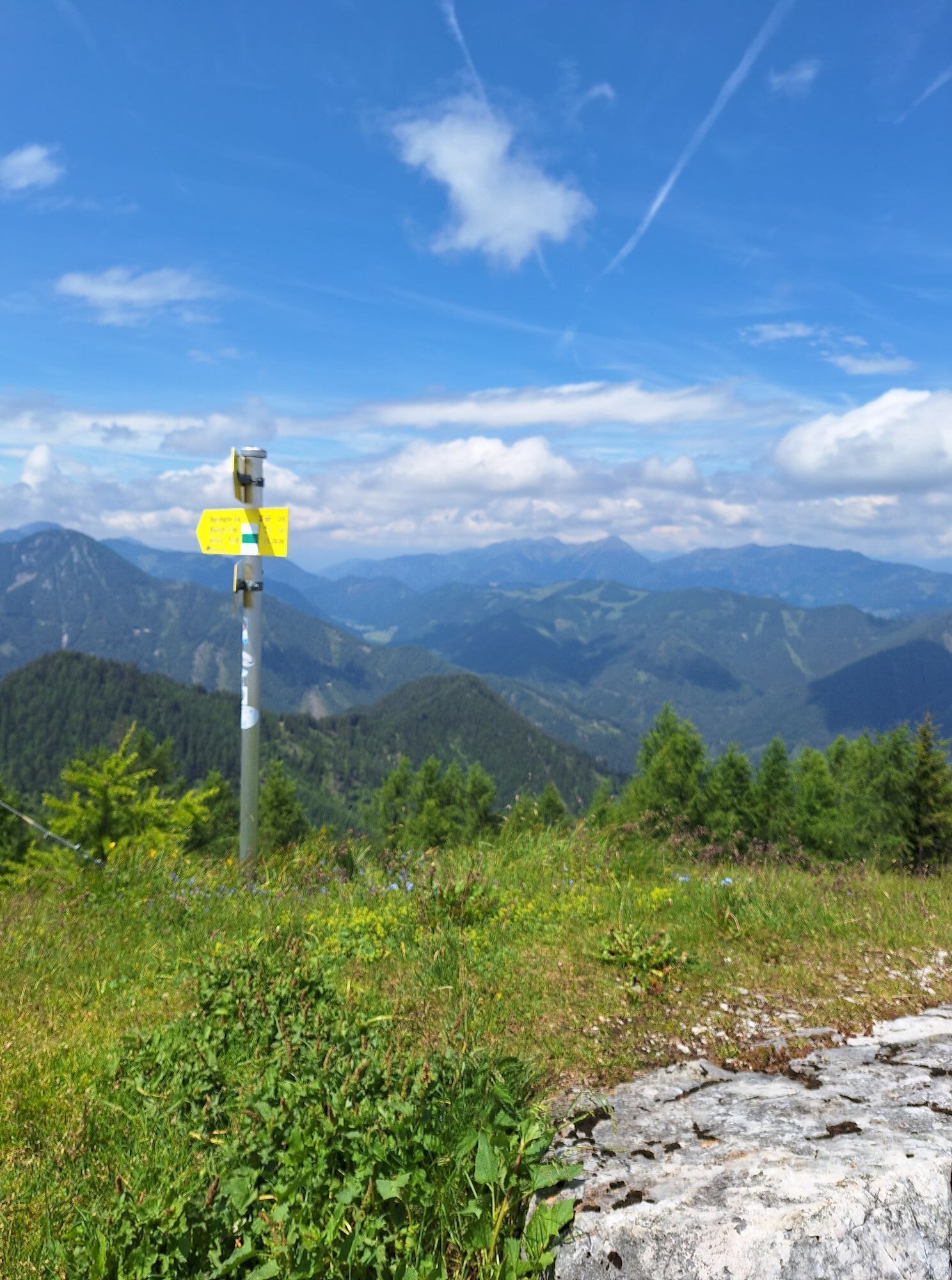
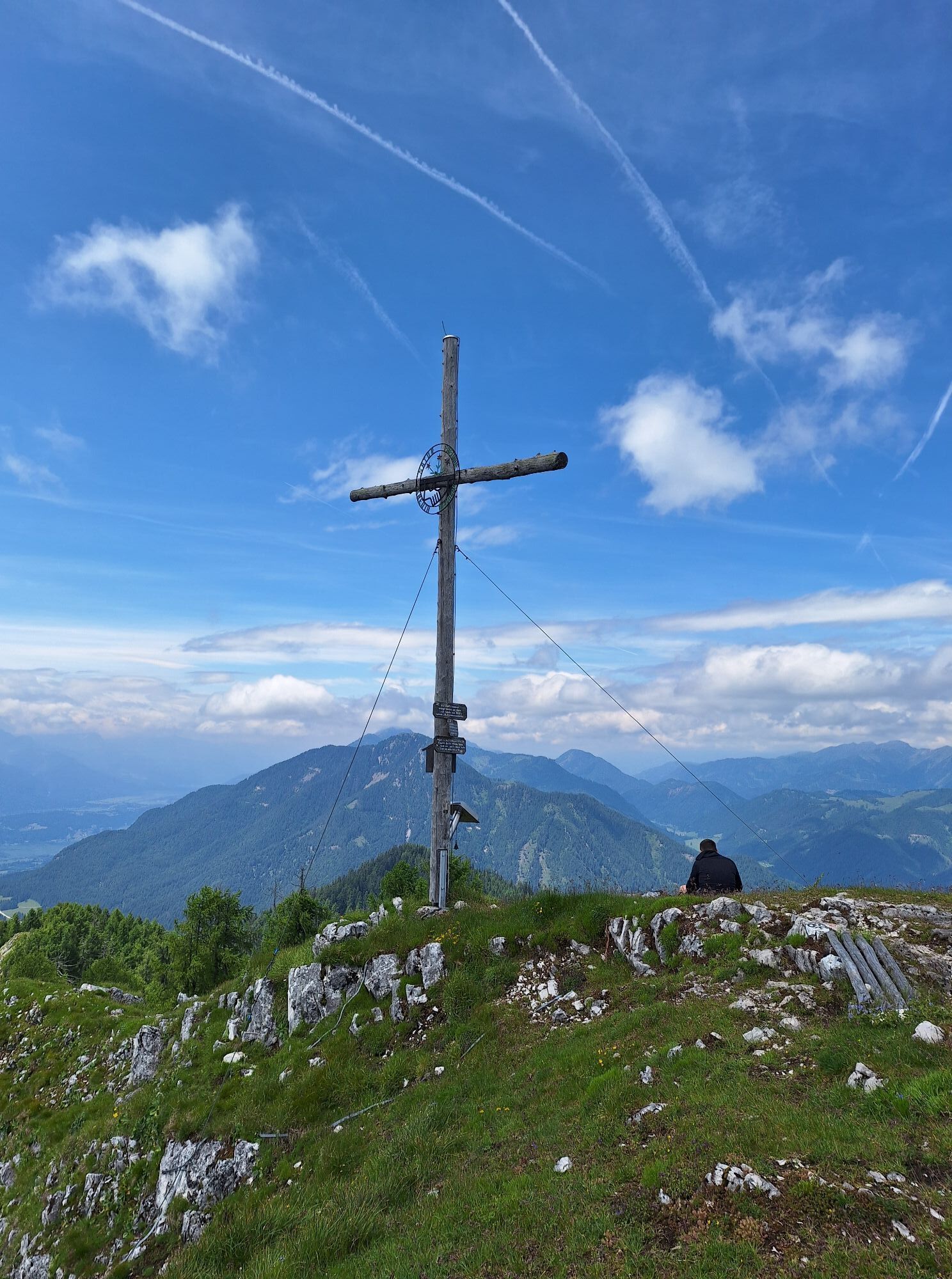
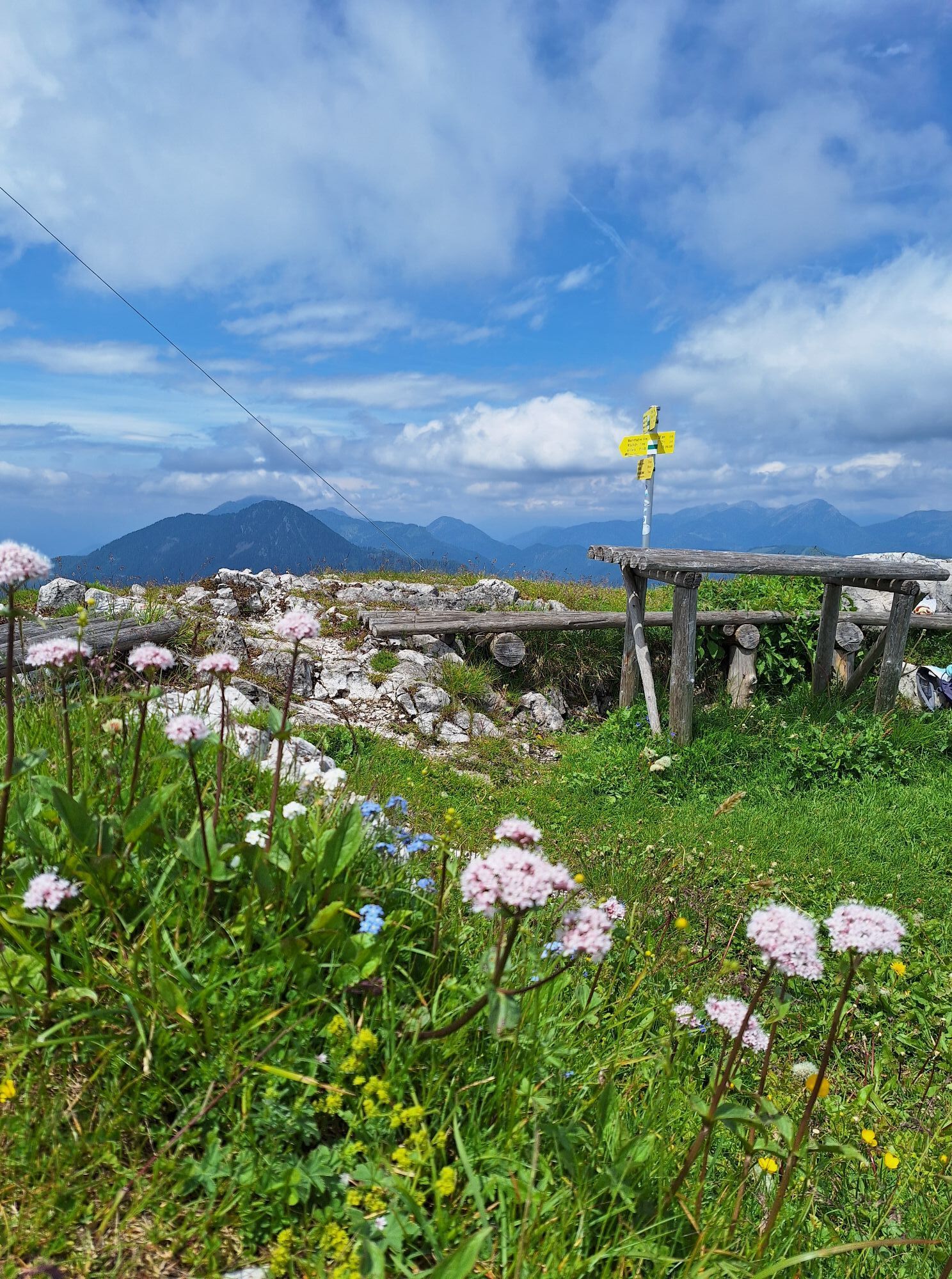
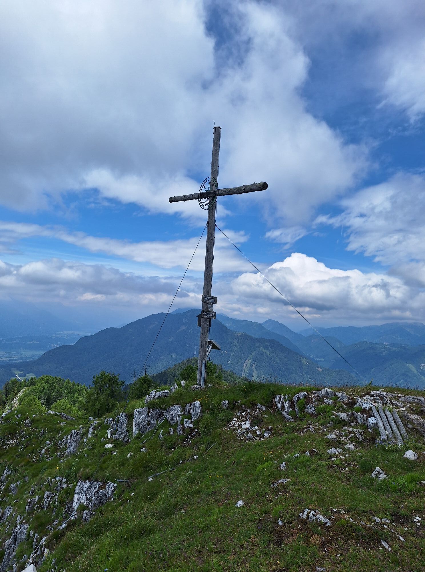
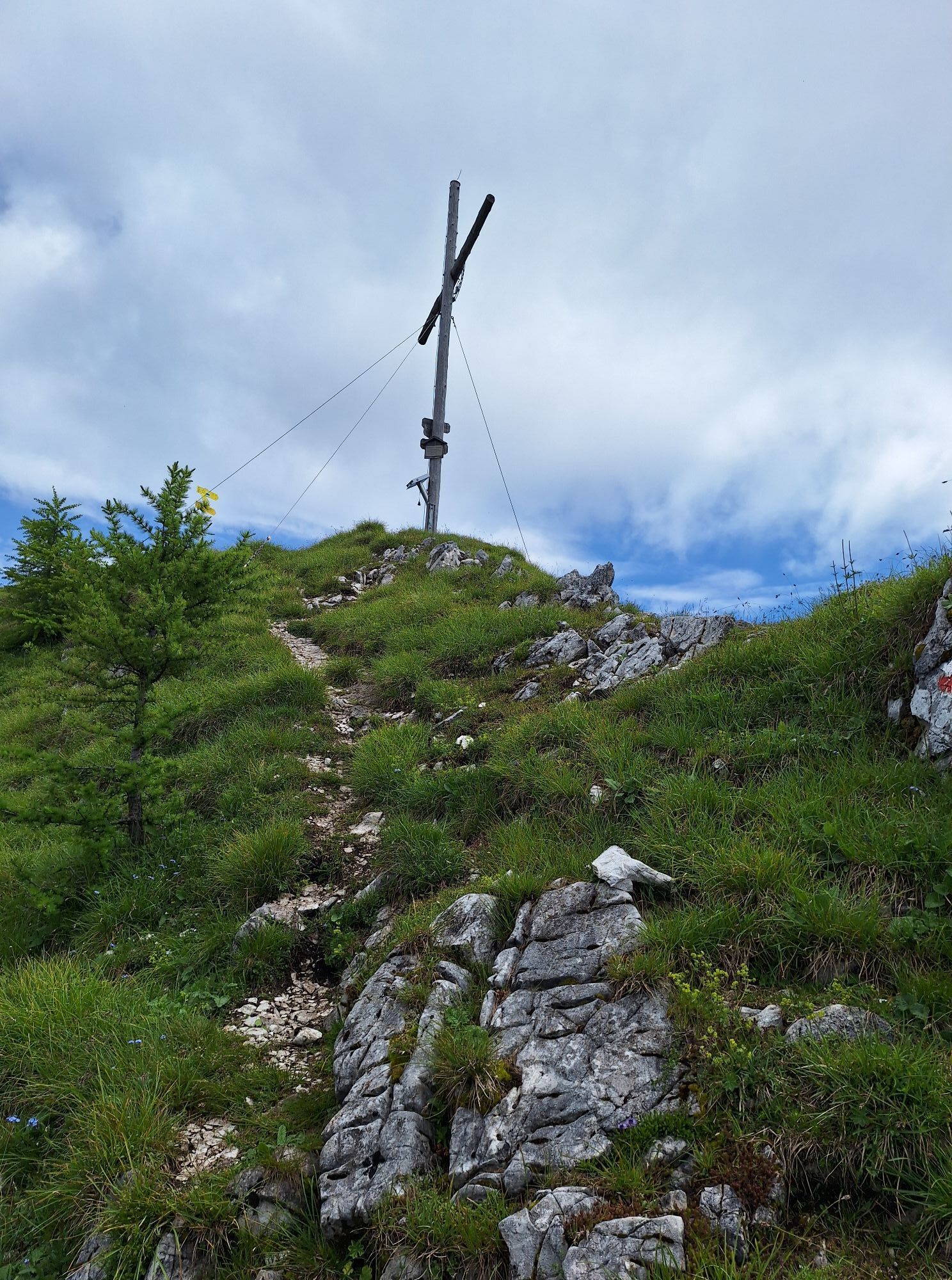
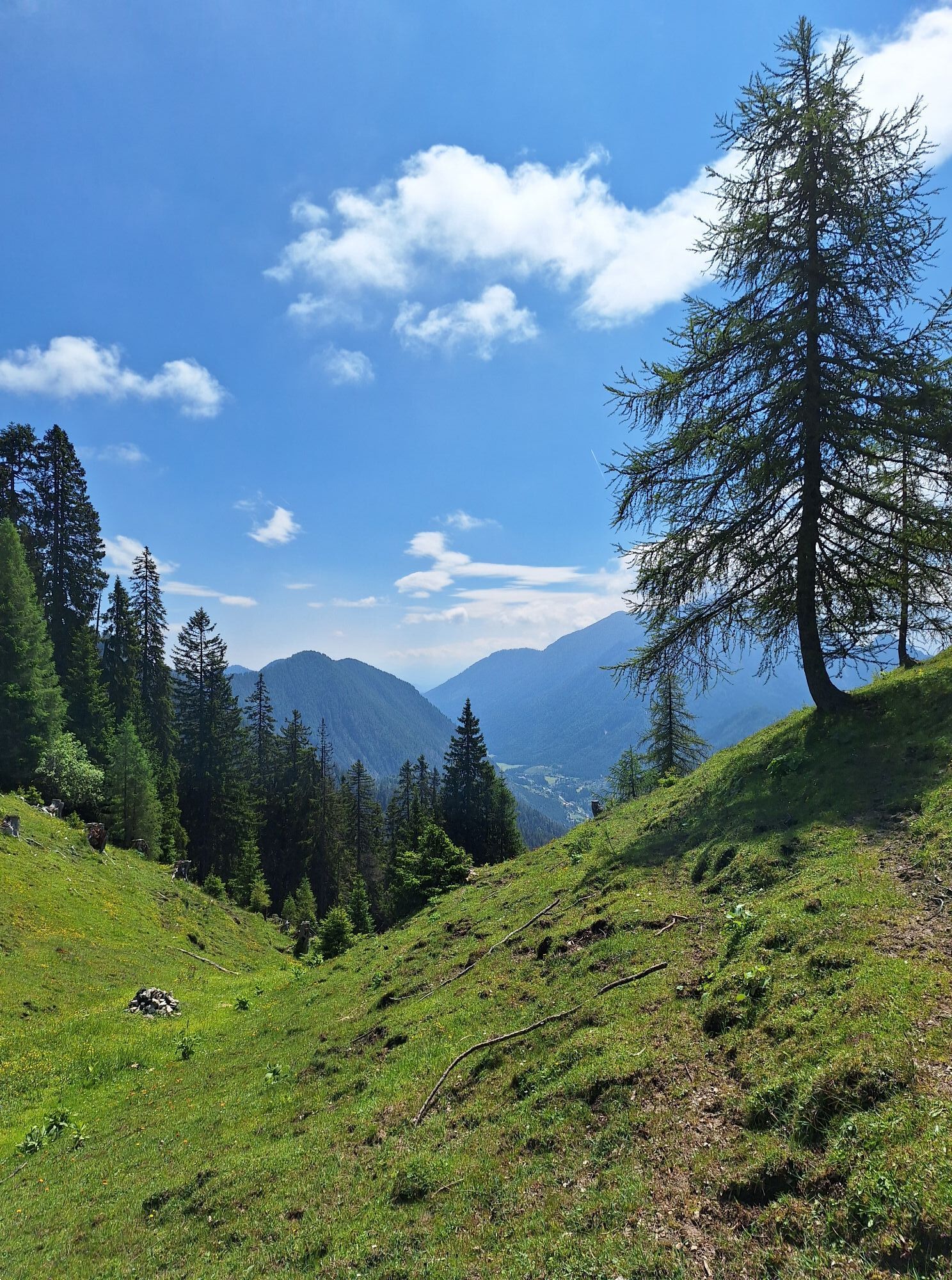
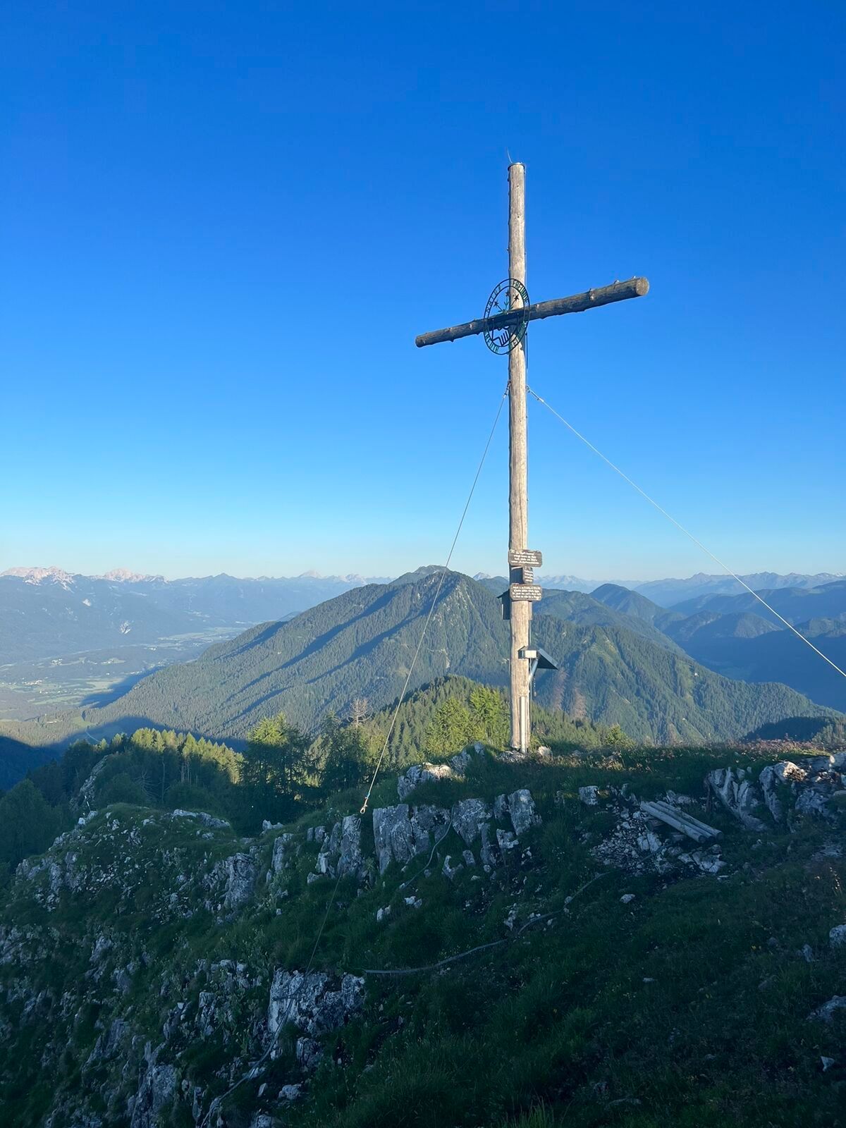
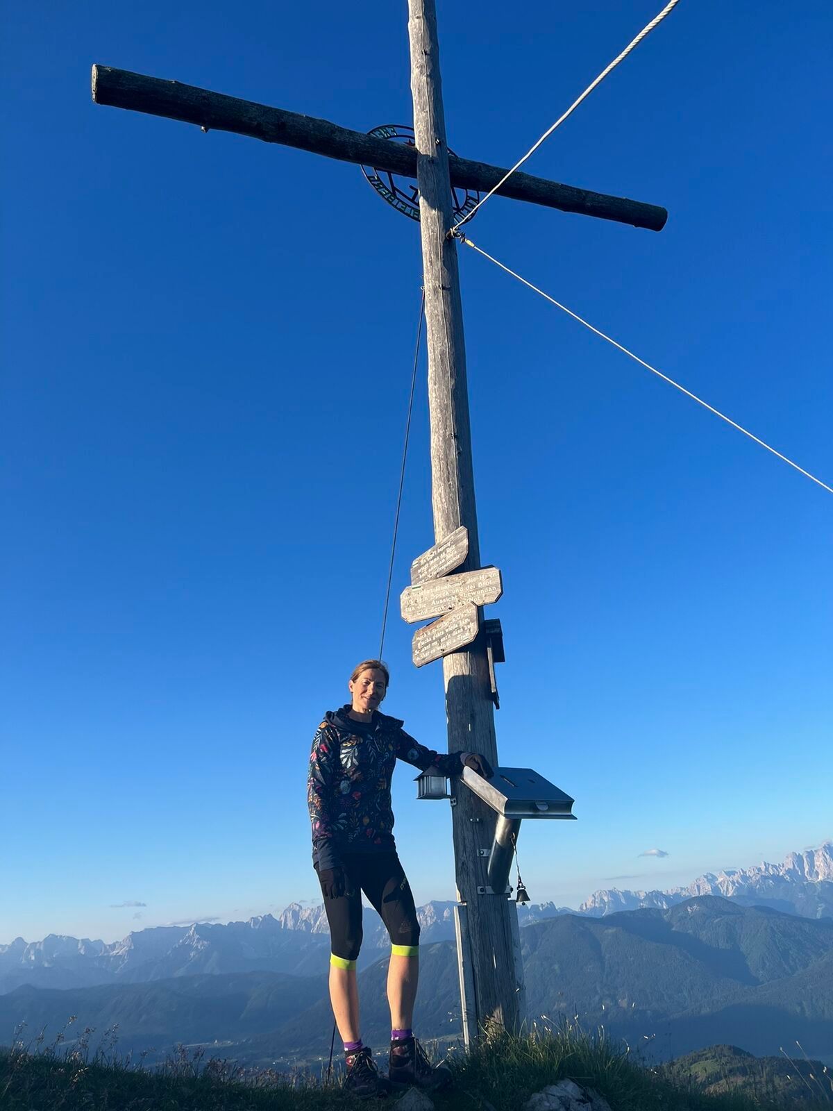
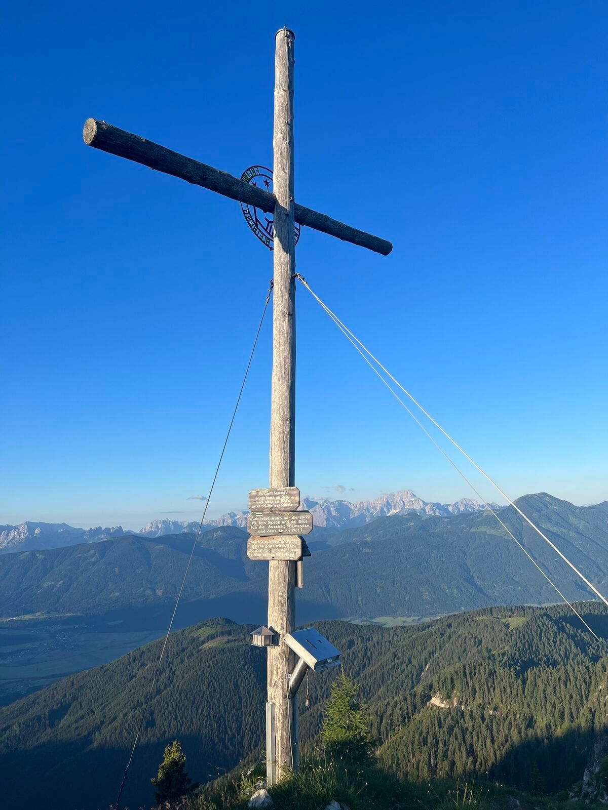
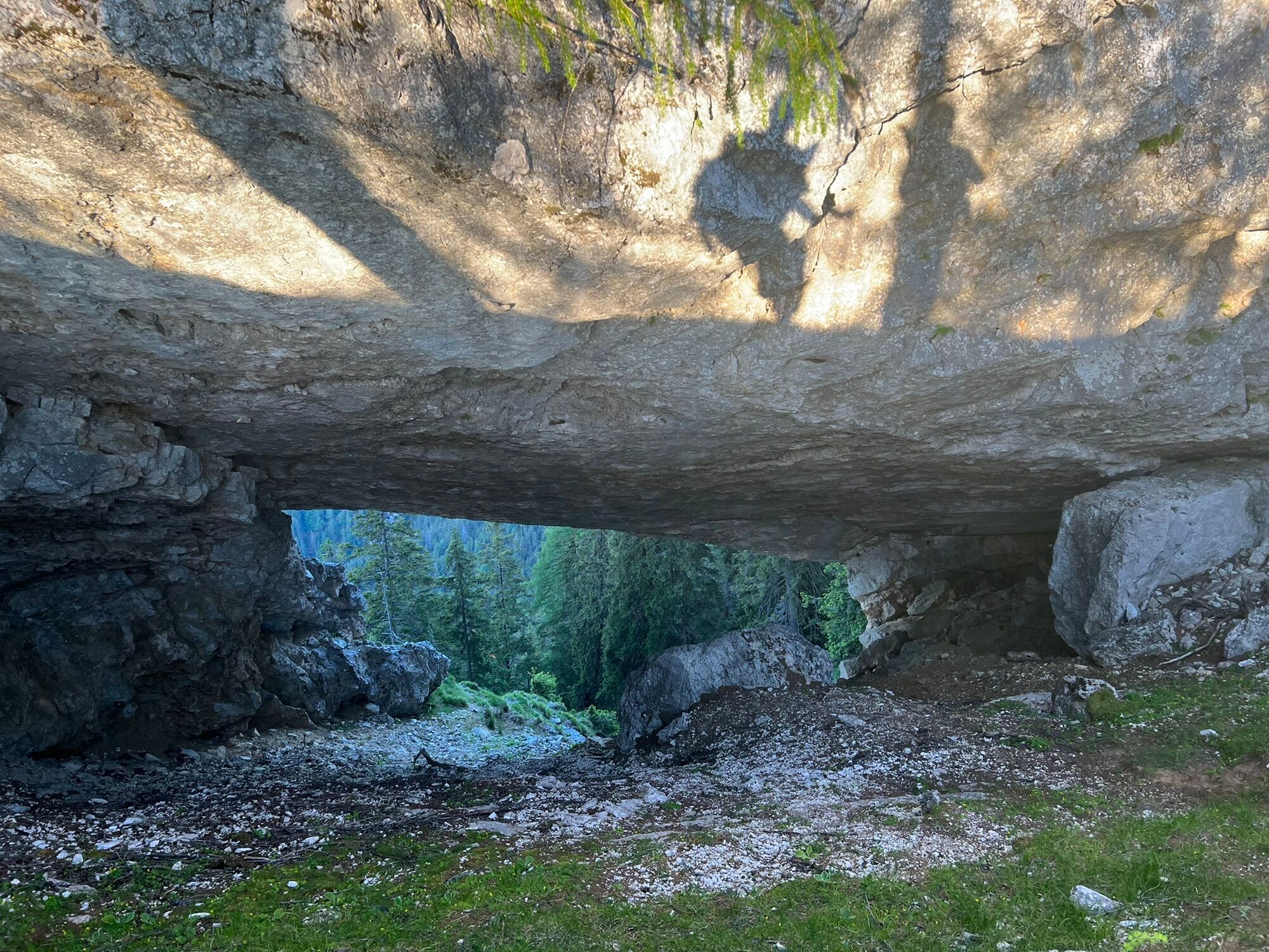
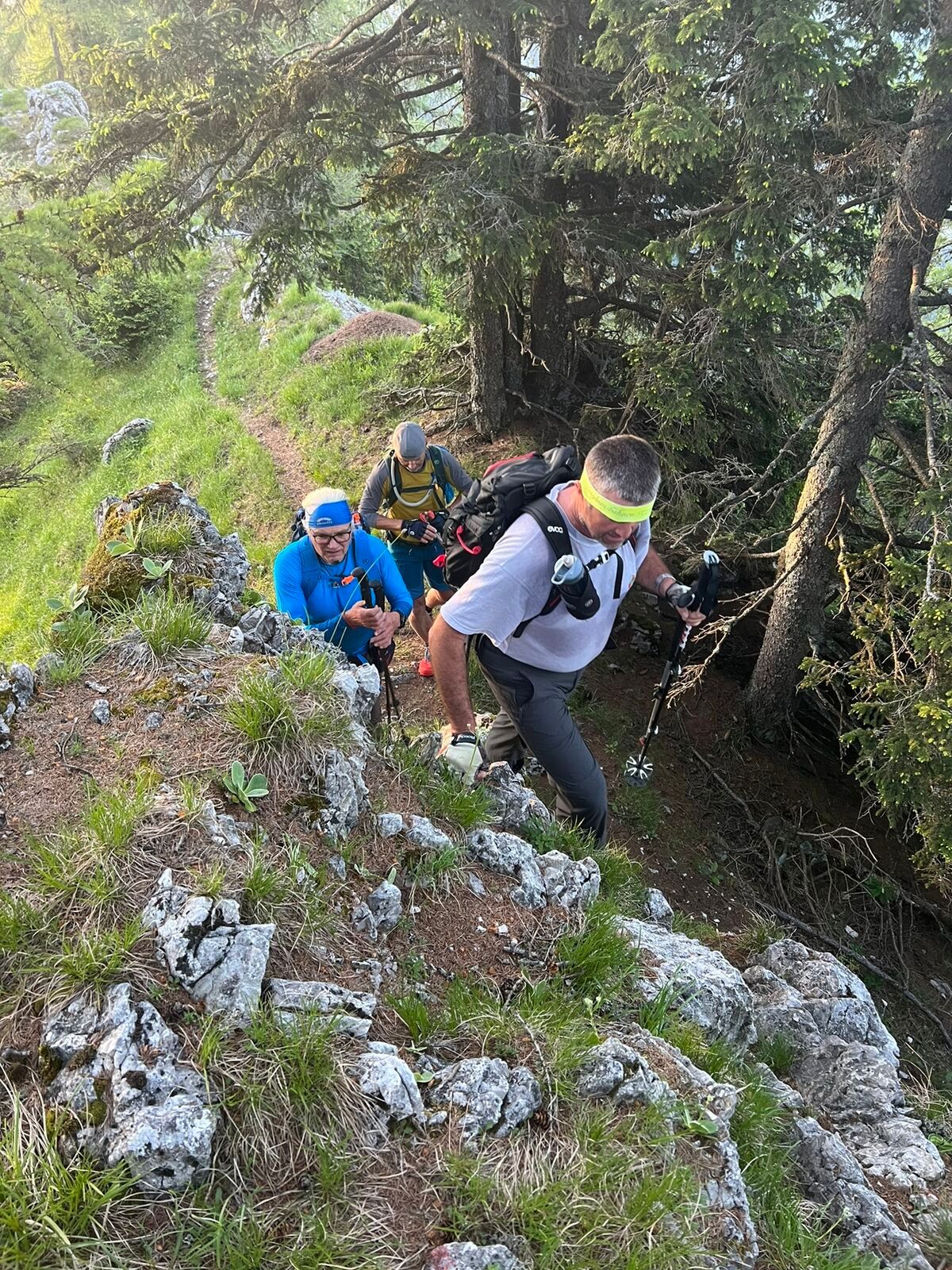
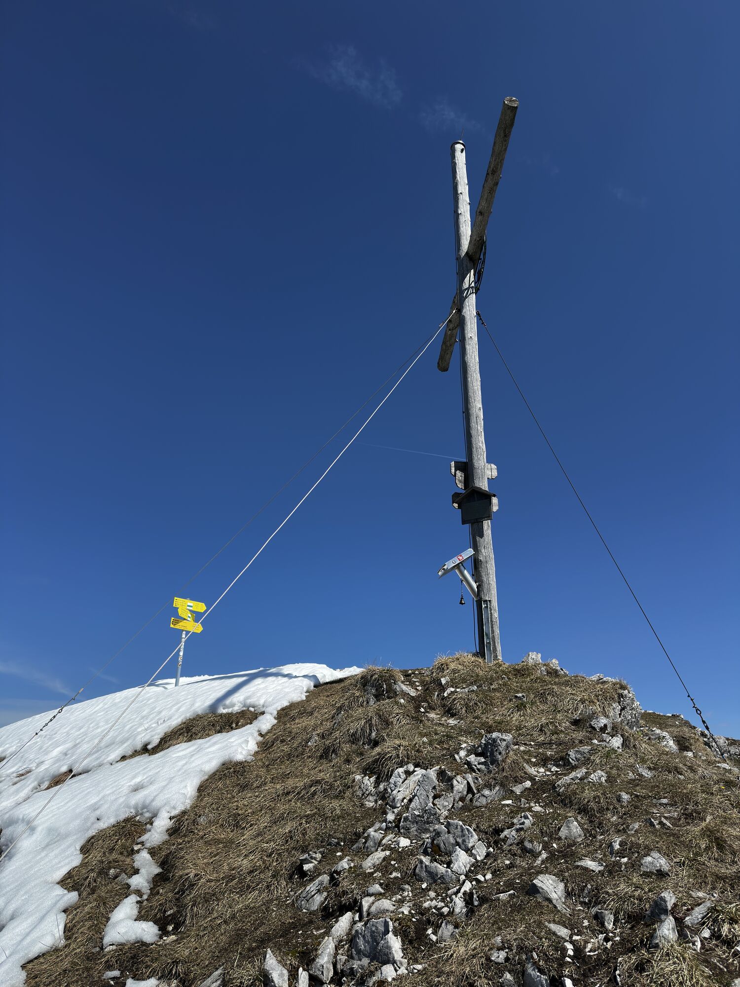
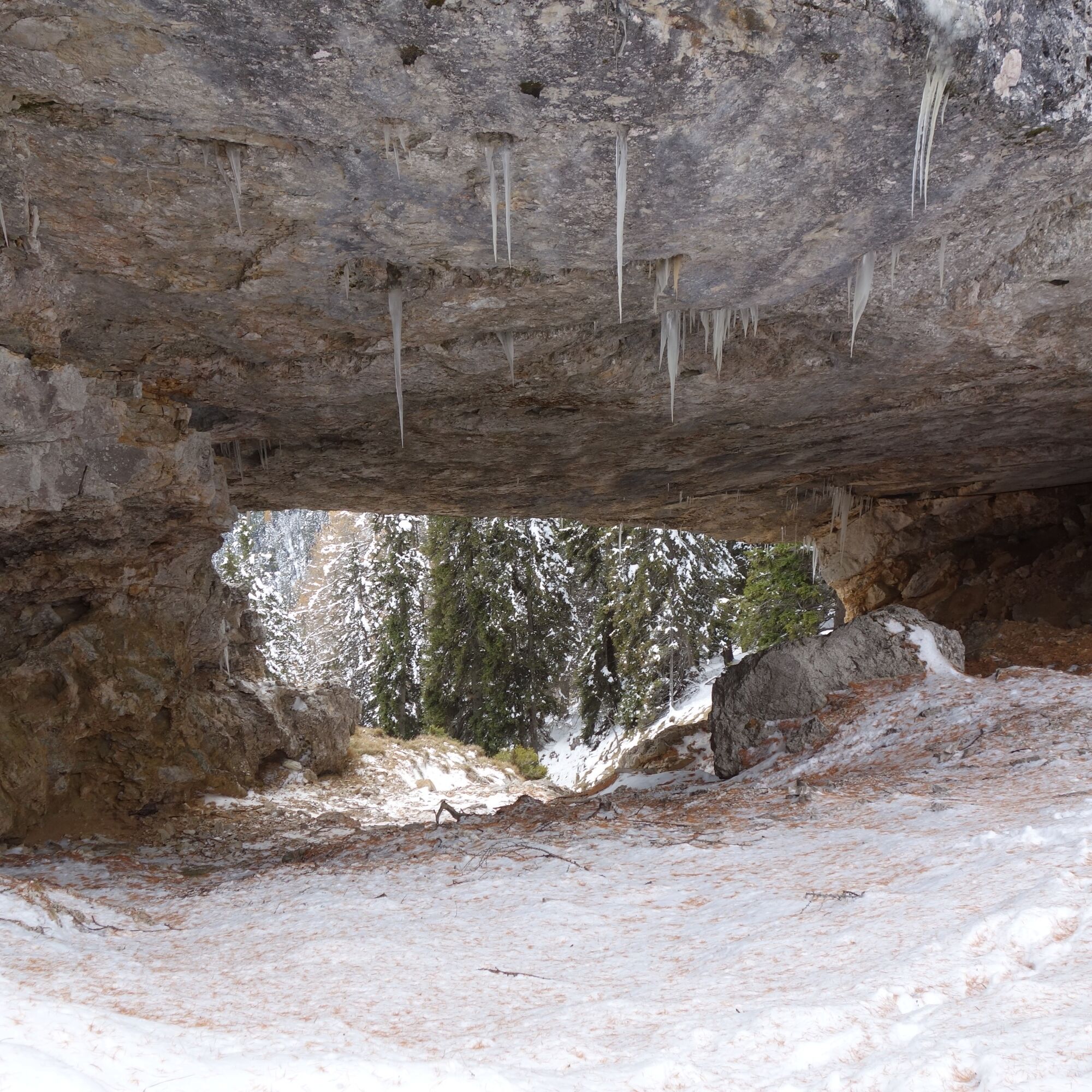
At "Zeber," follow the signpost (trail no. 288) towards Zebernock. The next section over the wide forested ridge or crest is pure hiking pleasure. After a short descent from Zebernock, you reach a small saddle. Here begins the rocky east ridge of Kobesnock. Short partly exposed rock steps with grassy connecting ridges and secured sections are partly traversed directly on the ridge or bypassed on the north side. Hard to miss is the "Kalte Loch," a huge rock window passed on the north side of the ridge. Now the trail switches to the south side of the ridge and over a short steep rugged ascent it leads to the summit cross of Kobesnock.
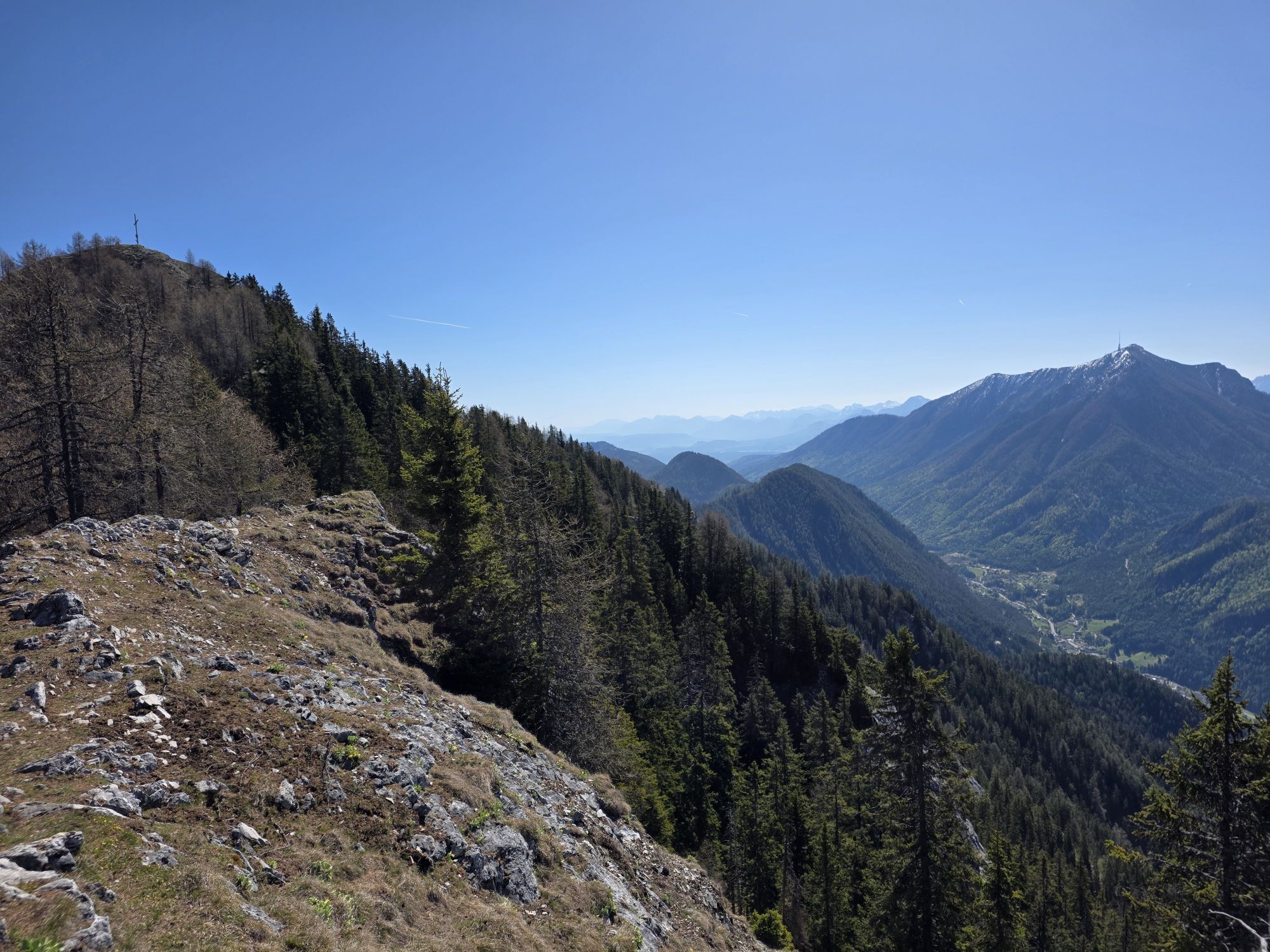
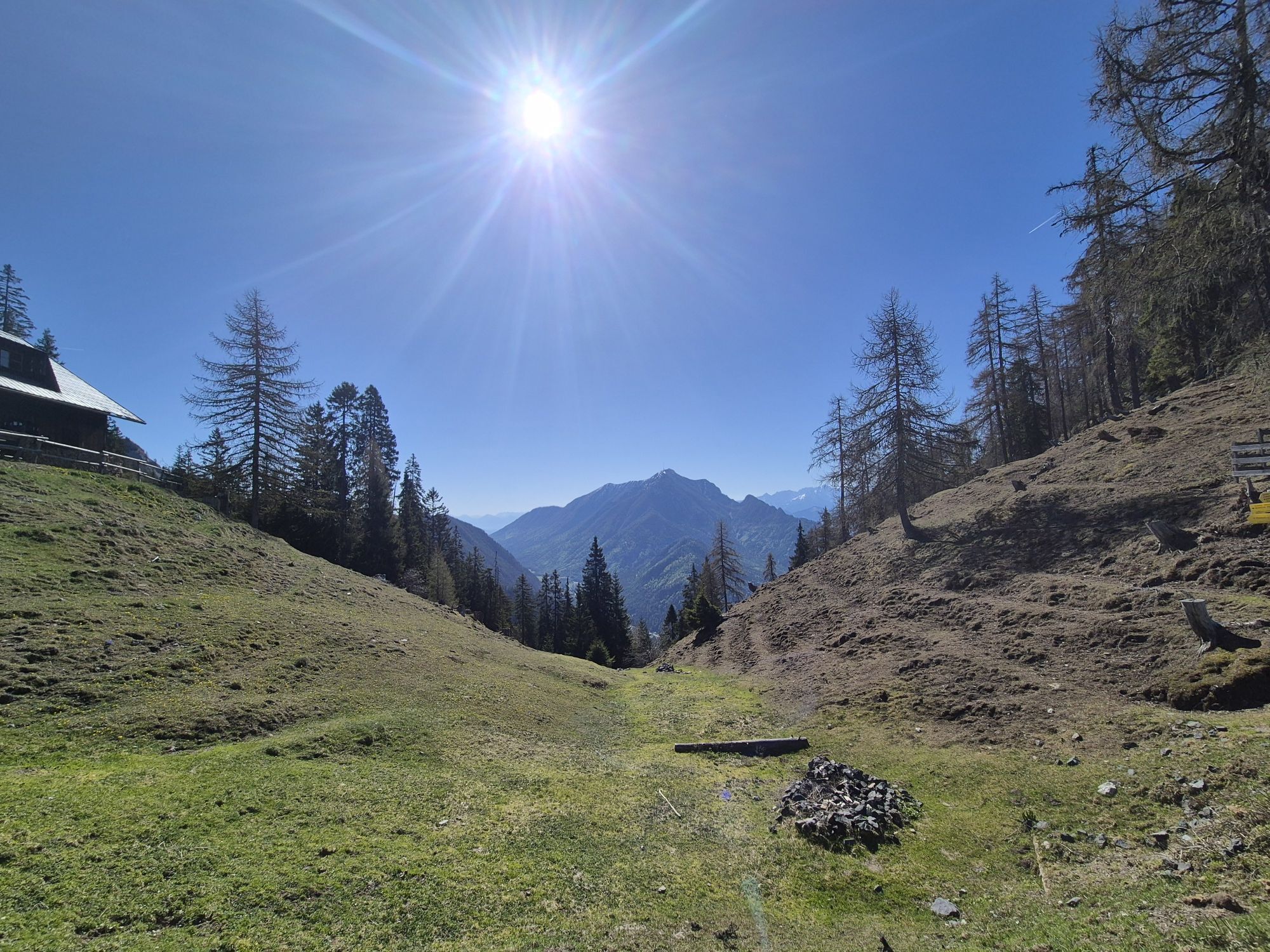
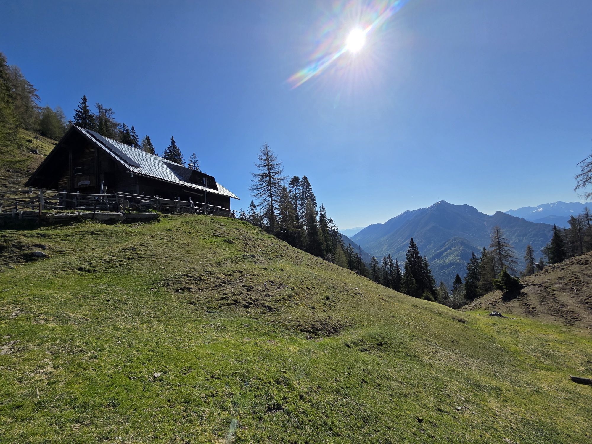
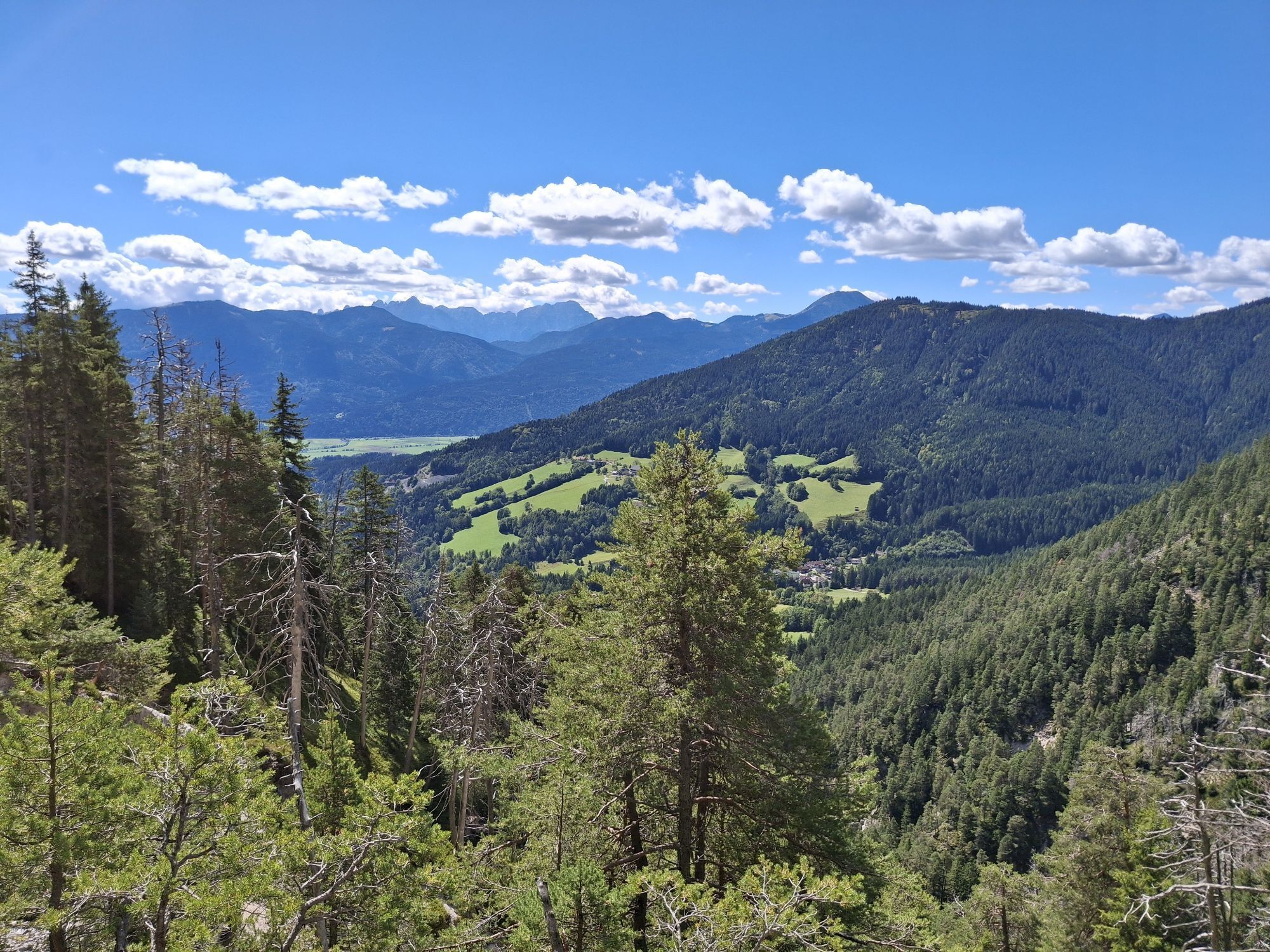
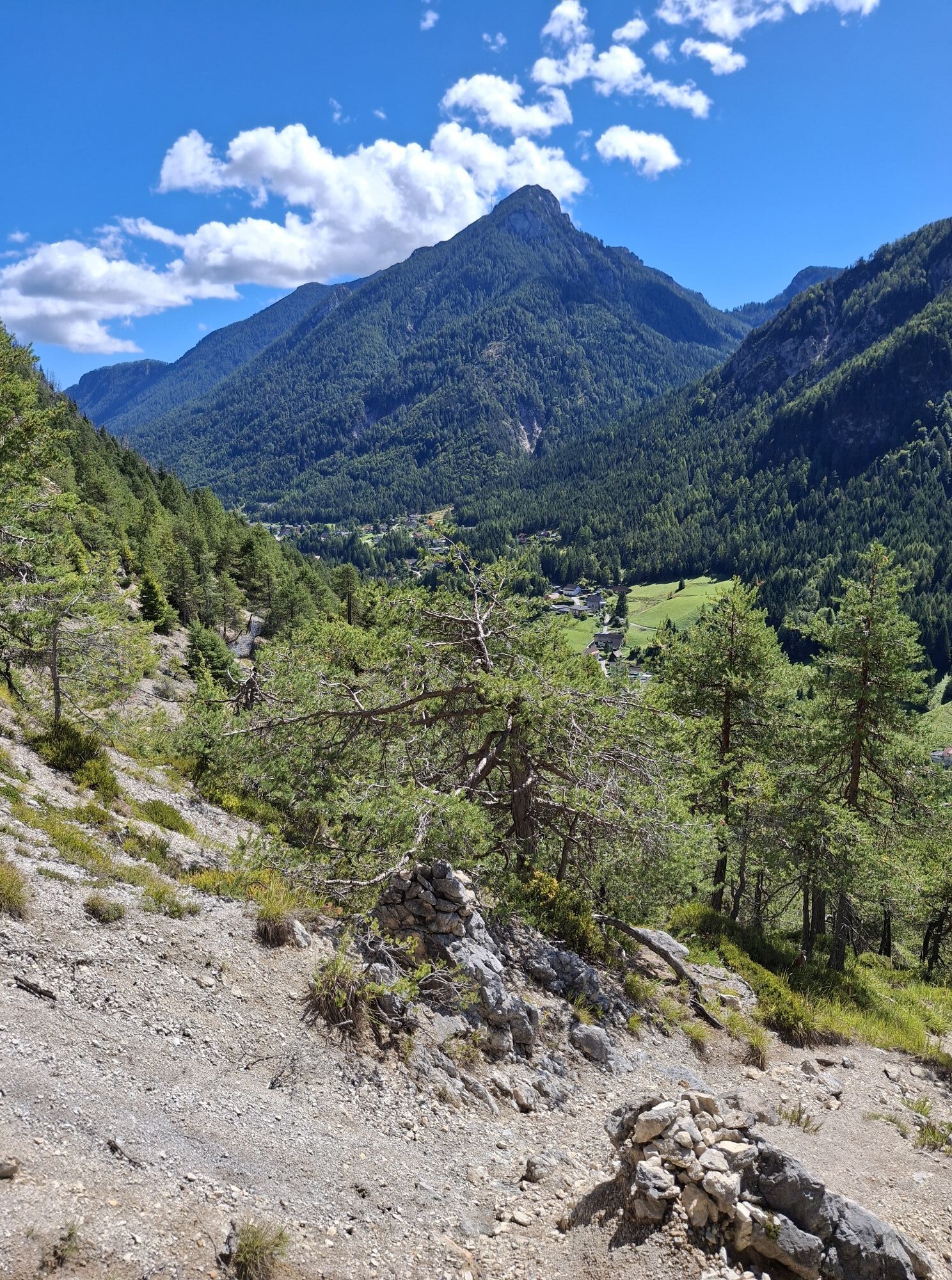
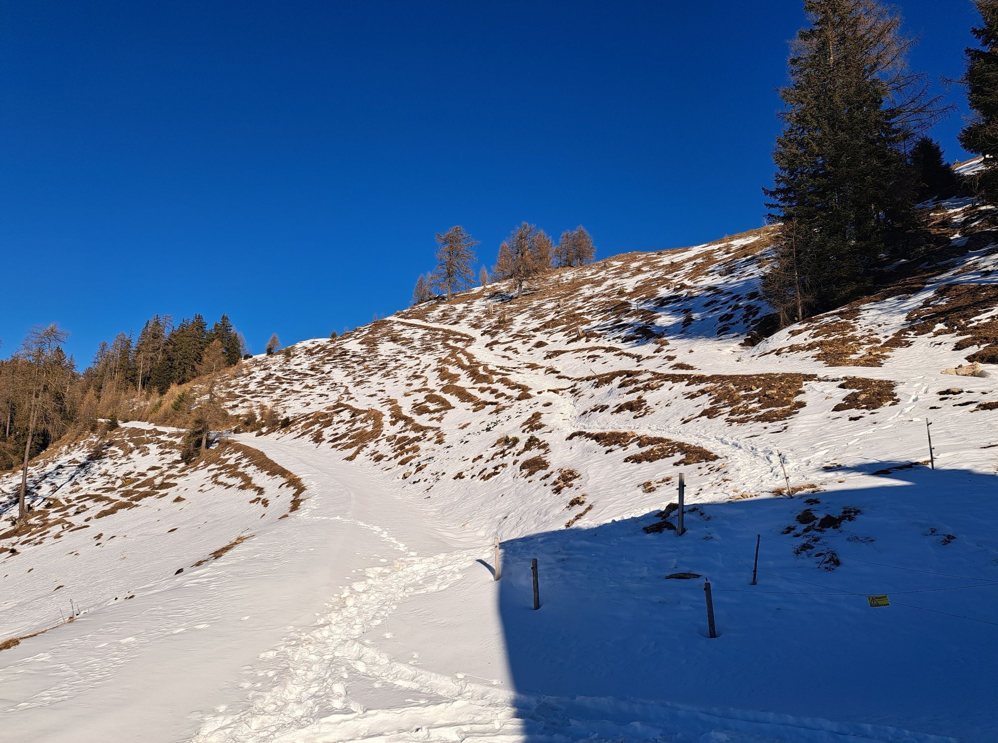
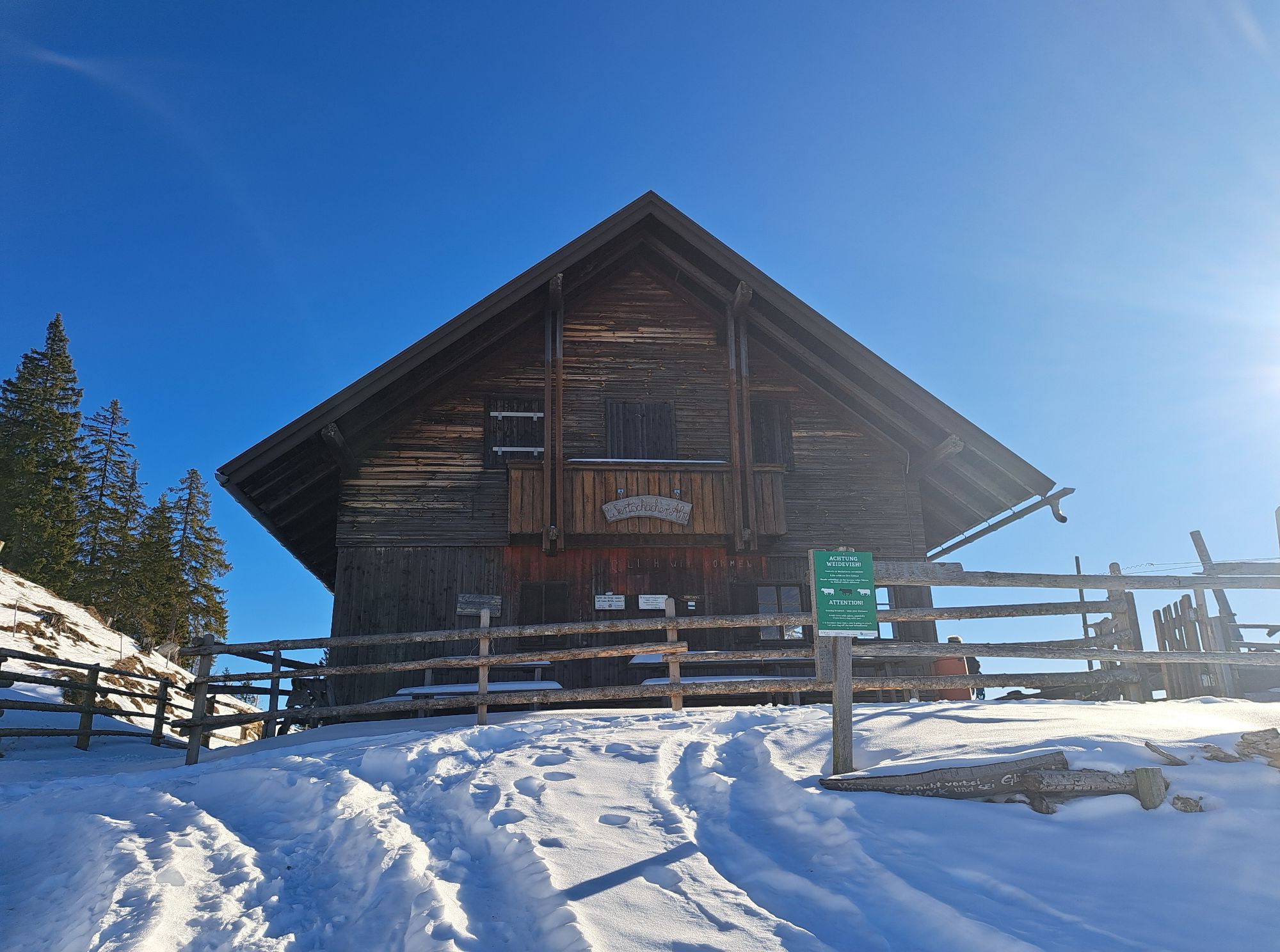
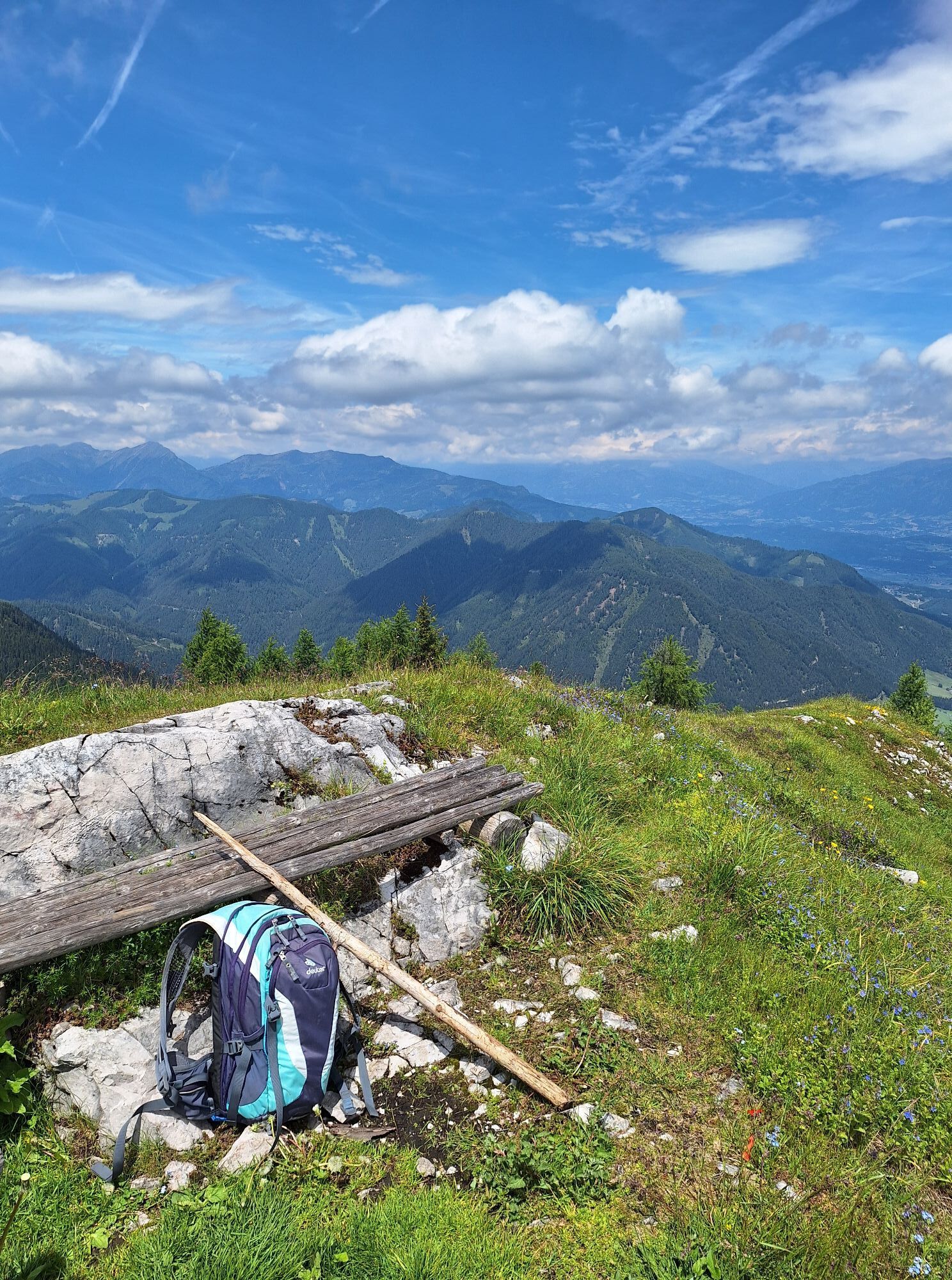
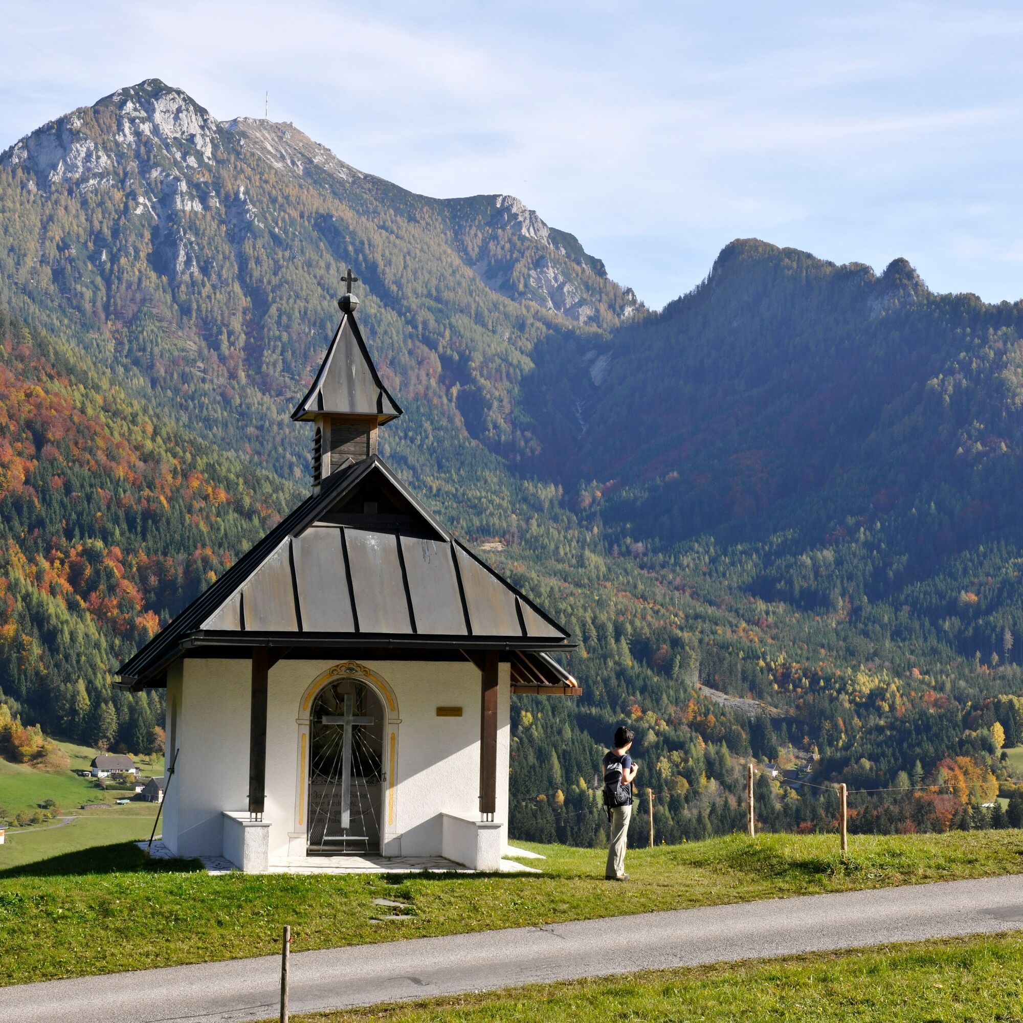
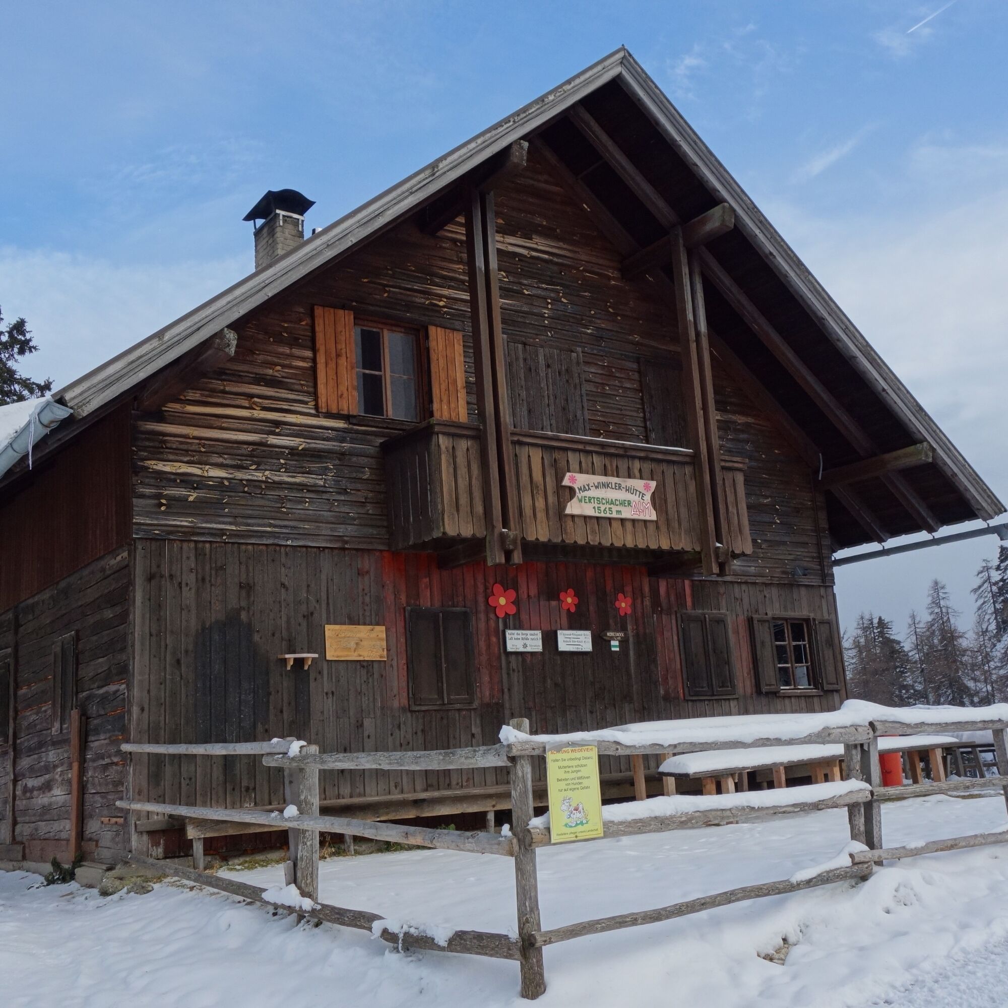
After a scenic rest, continue over the rugged but much easier west ridge towards Wertschacher Alm. At Wertschacher Alm (1,590 m) a stop is offered in the managed hut.
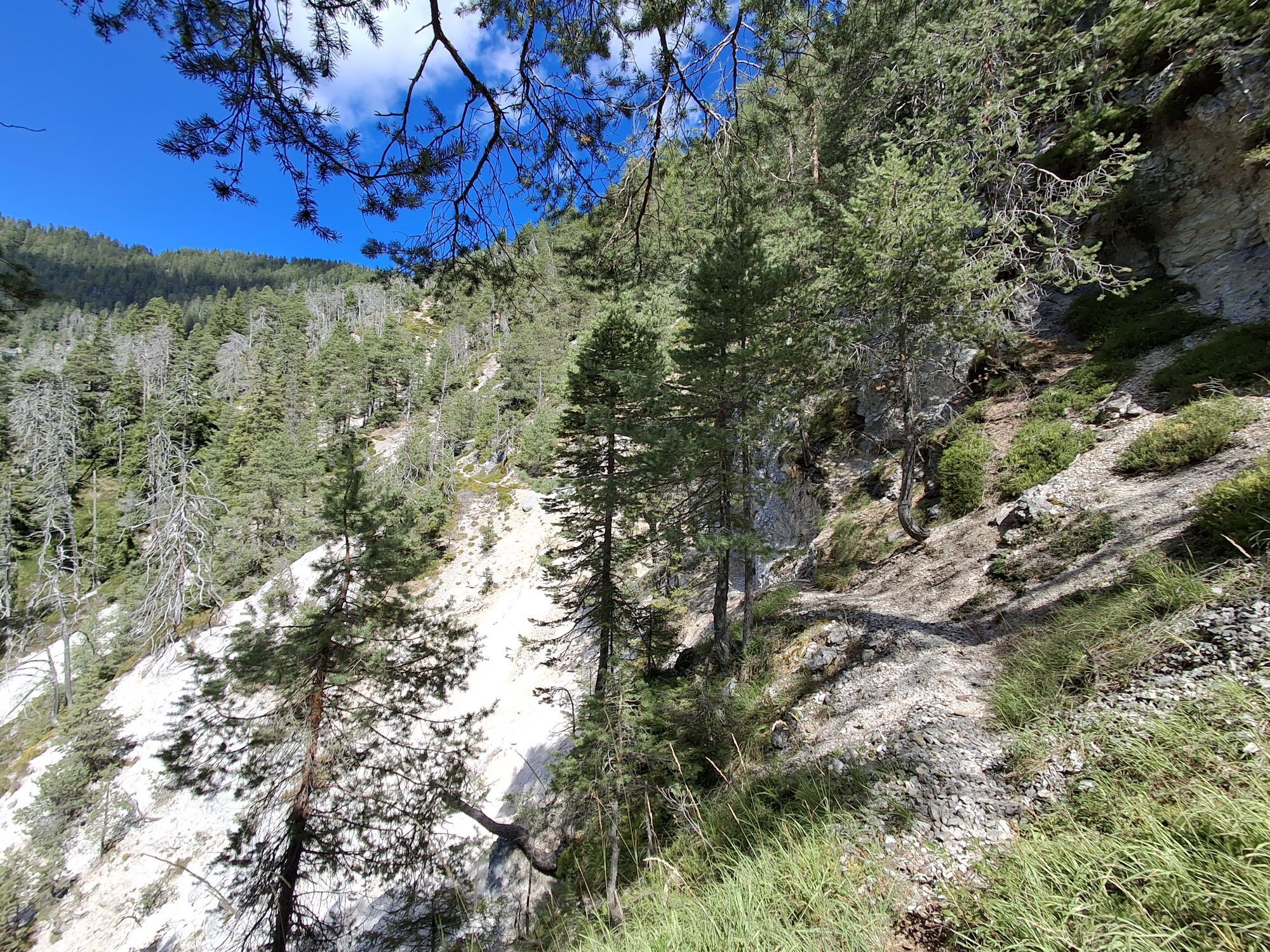
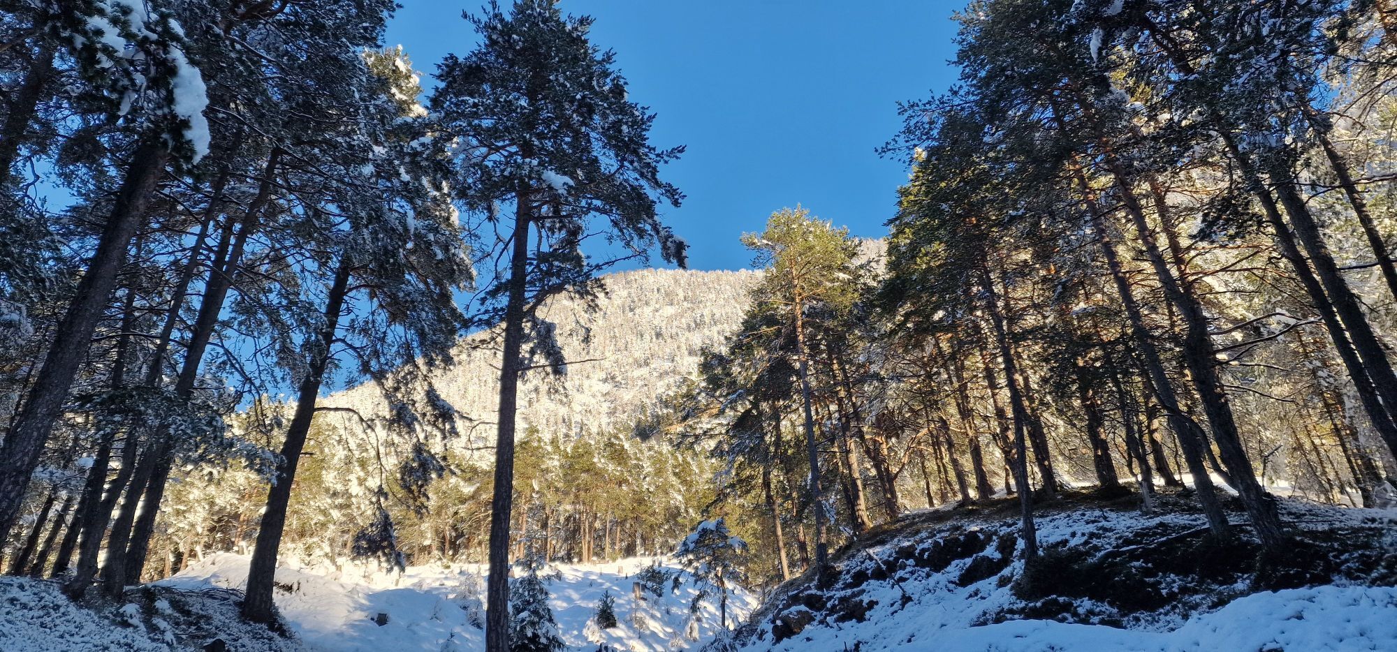
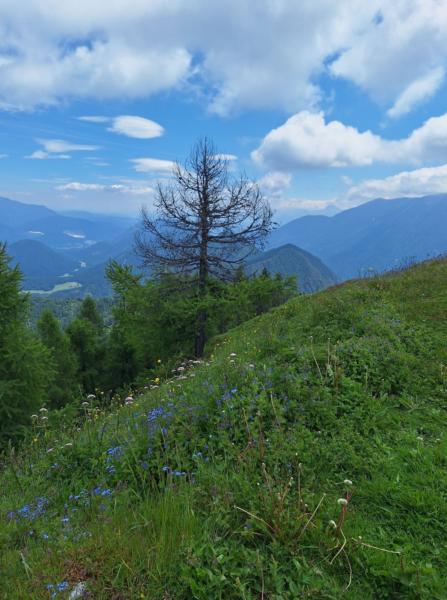
Directly at the hut, the path leads left into the Schneidergraben. A pleasant moderately steep Alpine club trail (trail no. 298) leads on the right side of the ravine easily down to a forest road. Again, a short ravine drop (ropes available for holding) must be crossed carefully.
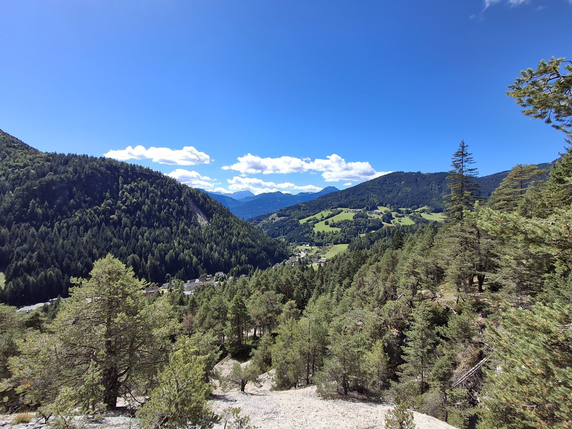
Always follow the forest road down to the hairpin bend with the signpost towards Theresienhof (trail no. 11). Right at the start, the brook bed of Schneidergraben is crossed. With slight ascents and descents on a wide path, we reach the wide meadows at "Maurer." These are crossed again towards "Theresienhof." At a farm, the path merges onto an asphalt road and at the next junction onto a paved road; turn left and return to the starting point.
Áno
Áno
Hiking boots with tread sole, backpack, functional underwear, rainwear, hiking poles, food and drink, map material, first aid, mobile phone
On ascent and descent and also on the rocky ridge, surefootedness and freedom from dizziness are required in places. Some sections are secured with wire ropes purely as support aids. These places cannot be classified as a climbing route. For less experienced hikers, it is recommended to do the Kobesnock via the significantly easier trail no. 298 for ascent and descent.
Bad Bleiberg is accessible via the Gailtal feeder on the A2 (Hermagor exit) or via the A10 (Villach West exit). Then continue up into the high valley via federal roads.
Bad Bleiberg is reachable at regular intervals by public transport.
There are enough parking spaces in Bleiberg Kreuth opposite the Gasthaus Holder.
Webové kamery z prehliadky
Aktivity počas prehliadky
-

Bleiberg-Kreuth, Kärnten/Österreich
26.04.2026 – Turistika -


Kobesnock Zebesnock
14.03.2026 – Turistika -

Bad Bleiberg, Kärnten/Österreich
29.12.2025 – Turistika -
Kobesnock
20.12.2025 – Turistika -
Bad Bleiberg, Kärnten/Österreich
25.10.2025 – Turistika -
Bleiberg-Kreuth, Kärnten/Österreich
24.08.2025 – Turistika -

Kobesnock
31.05.2025 – Horská turistika
Obľúbené výlety v okolí
-
4,5
Auf den Dobratsch mit der ganzen Familie
Turistika 8,40 km -
4,9
Orrido dello Slizza, Tarvisio, Italië
svetloTuristika 2,65 km -
4,7
Gailtaler Alpen: Wanderung auf der Dobratsch
strednáTuristika 8,50 km -
5,0
Amberg: Palnock 1901m, Schwarzsee, Rundstrecke
strednáTuristika 7,94 km -
4,0
Schwarzsee circular hiking trail
strednáTuristika 7,79 km -
4,2
Slow Trail Pressegger See RW_N16
svetloTuristika 5,78 km -
3,8
Dobratsch über den Jägersteig
Turistika 4,30 km -
4,7
Tschekelnock
strednáTuristika 8,93 km -
4,0
Dobratsch - Heiligengeist to Rosstratte
strednáSkitour 4,66 km -
4,1
Dreiländereck über Petrinjakgraben
svetloSkitour 10,3 km

Turistika a stopovanie


Nenechajte si ujsť ponuky a inšpiráciu na ďalšiu dovolenku
Vaša e-mailová adresa bol pridaný do poštového zoznamu.