



Paddling the waves of Kiantajärvi, 12 km, Sotkamo - Vuokatti

Úroveň náročnosti: 3
The fish-rich Kiantajärvi is also an interesting paddling destination. Crossing the lake open waters is challenging in strong wind, but in calm weather, the mind calms in the middle of these landscapes....
The fish-rich Kiantajärvi is also an interesting paddling destination. Crossing the lake open waters is challenging in strong wind, but in calm weather, the mind calms in the middle of these landscapes. In windier conditions, you can paddle around more sheltered shores.
Kiantajärvi is 11 kilometers long in the north-south direction. Juurikkalahti is a nice bay in the middle of the lake on the west shore. Once, the lake was part of the Great Karelian Ostrobothnian road known already in the Middle Ages, which ran from Lake Ladoga through Pielinen waters to Sotkamo and further to Oulu.
The route is paddleable in both directions and you can optionally link parts, for example from the Sapsojärvi round route or make a two-day trip paddling also to Sapsoperä.
You can also start from Juurikkalahti towards Kiantaperä at the lake's southern end or paddle around the lake shores and islands.

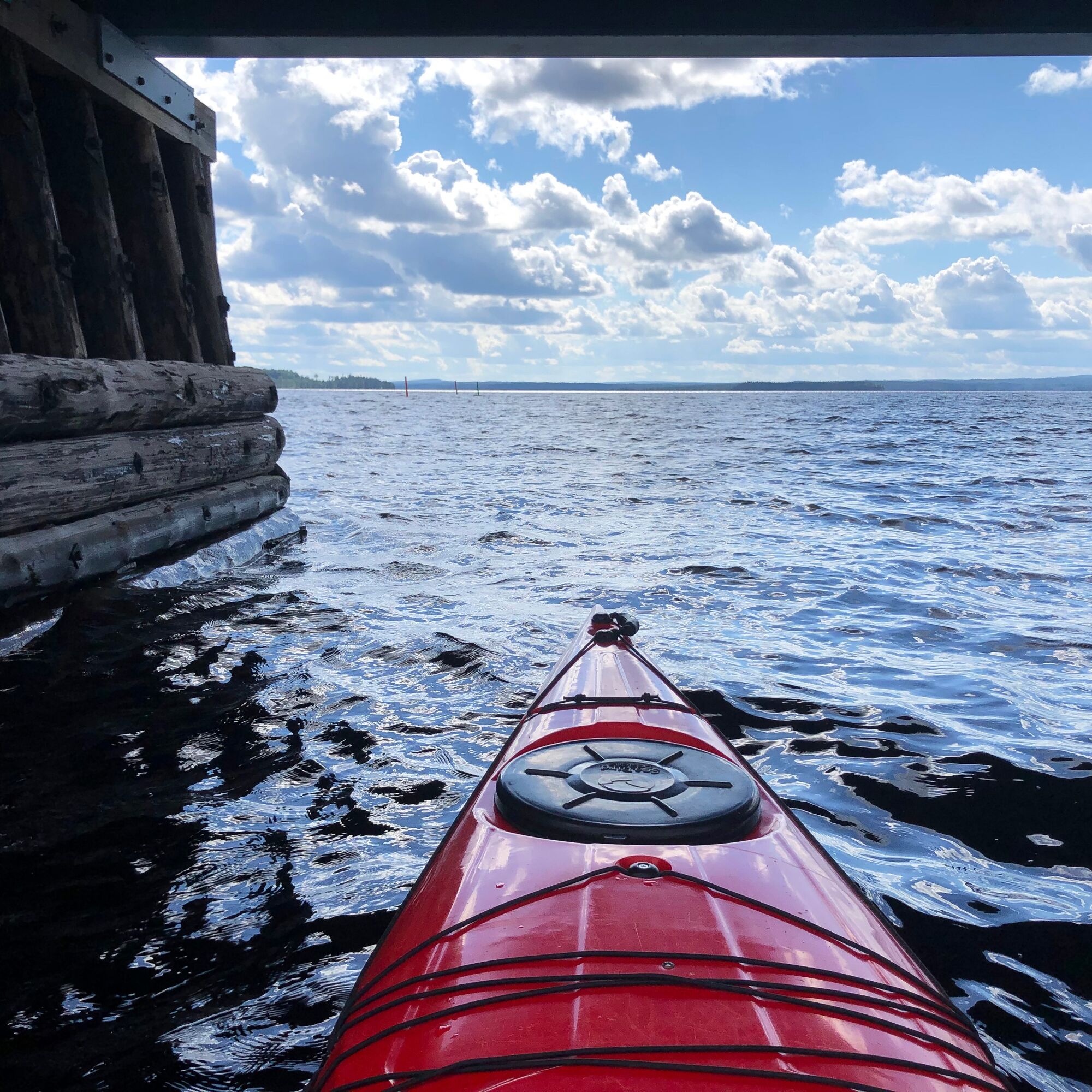
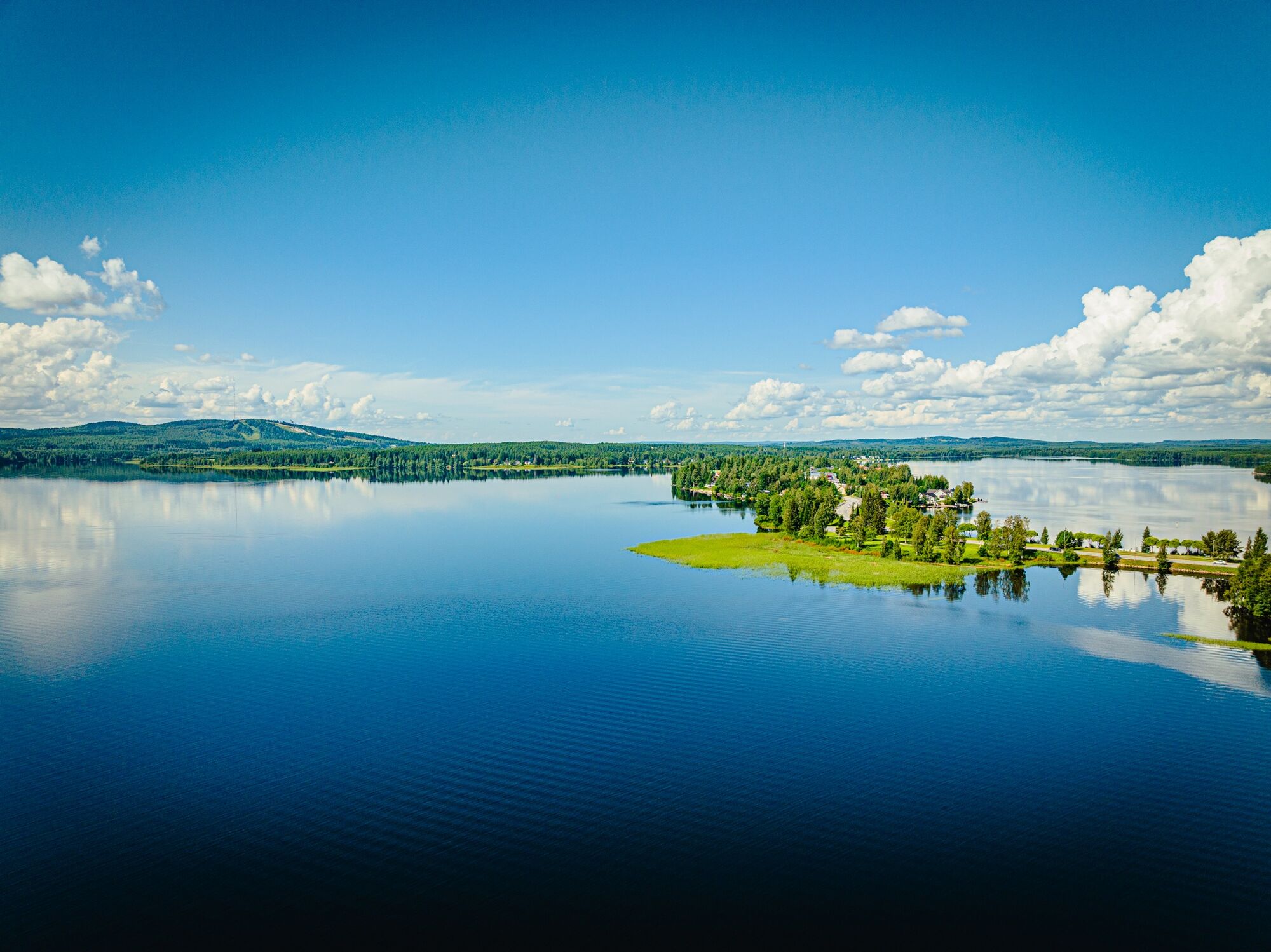
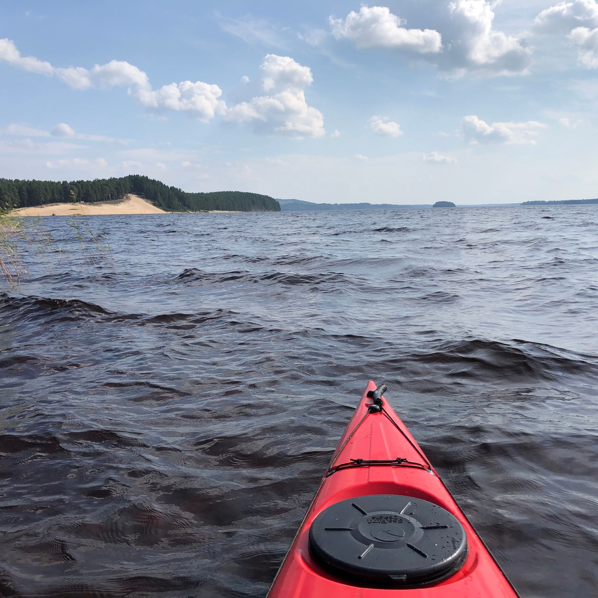
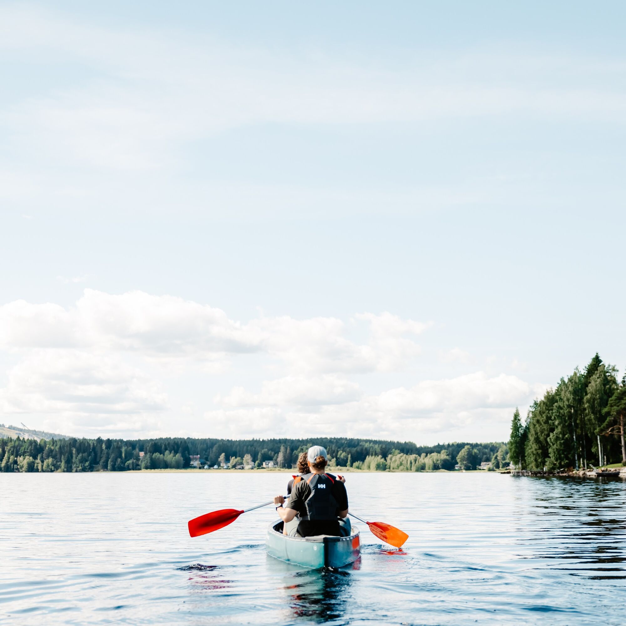
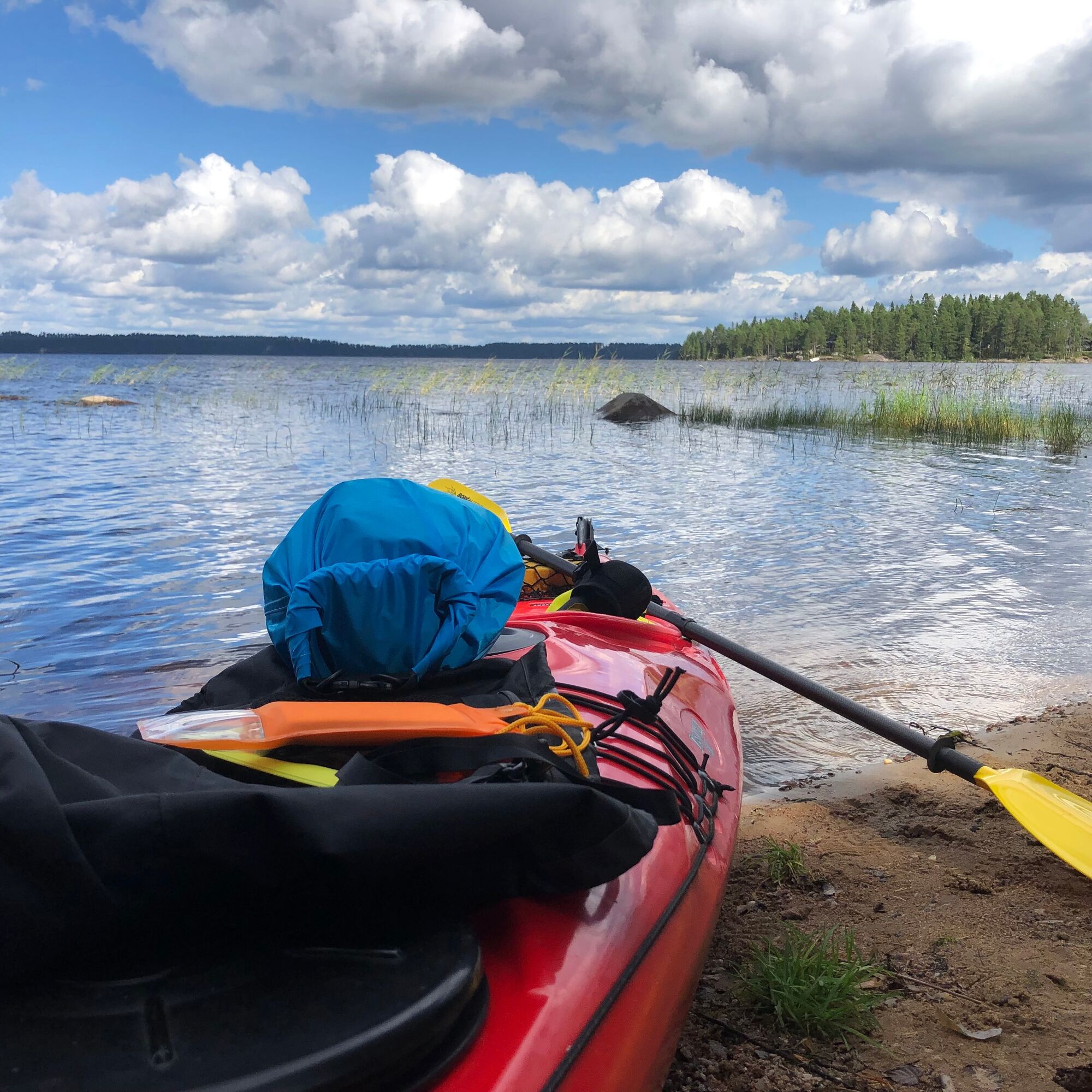
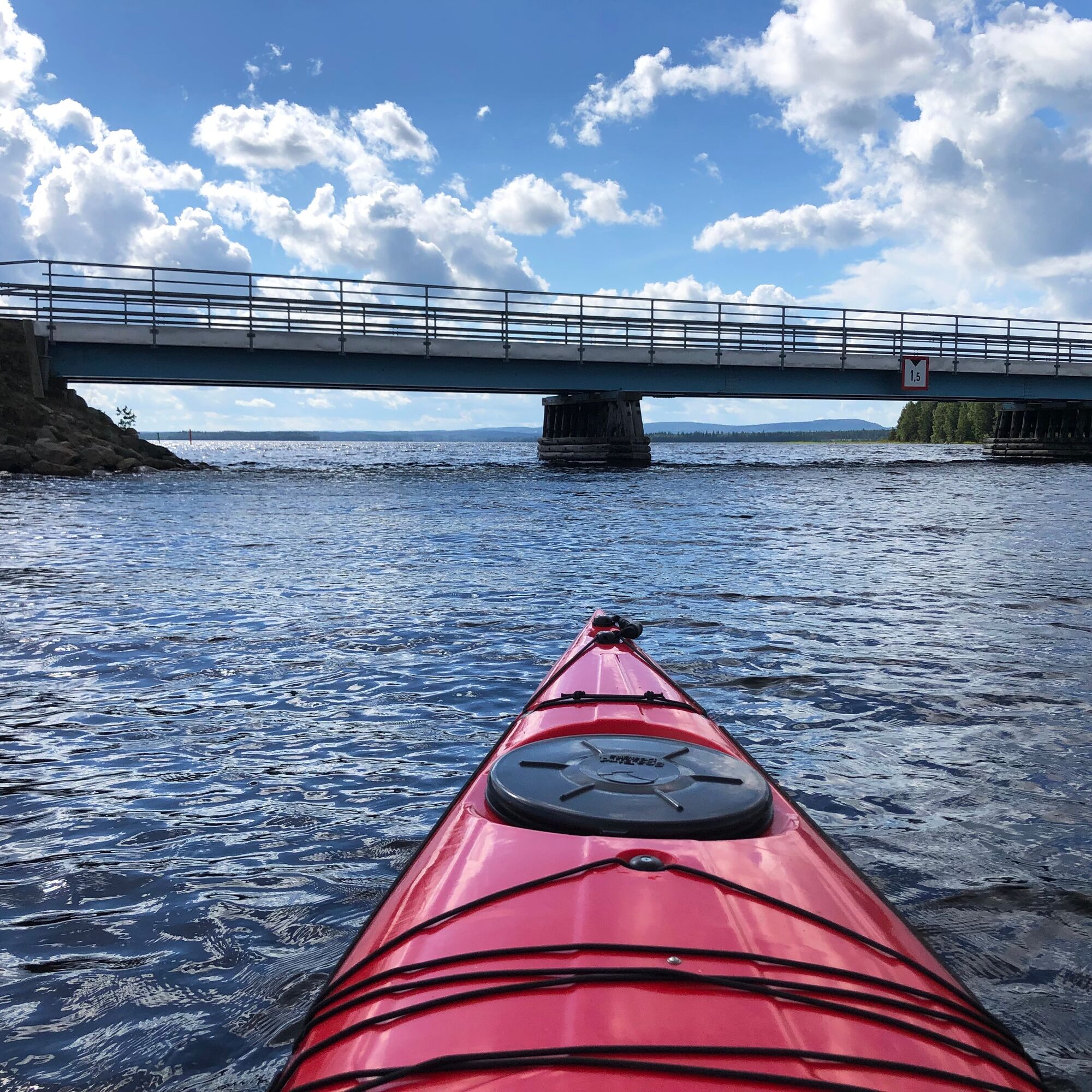
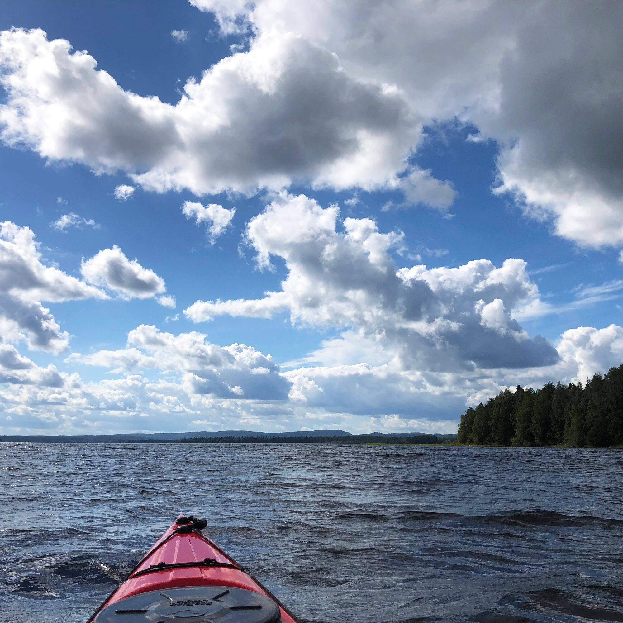
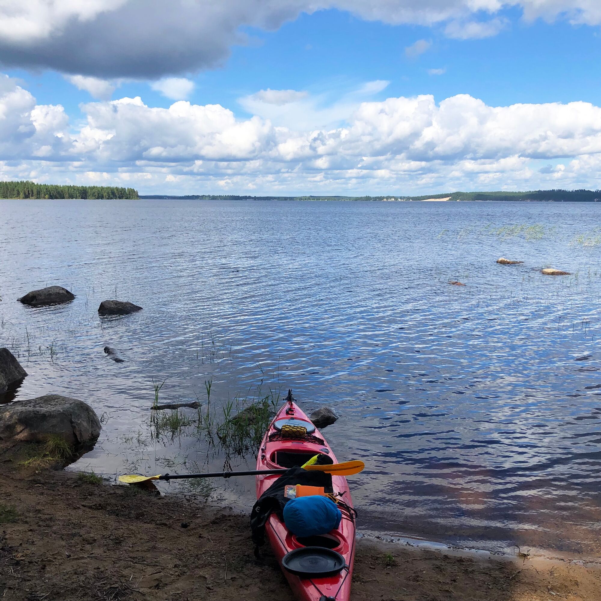

The route starts at the Sotkamo harbor. West of the breakwater, there is an accessible canoeing dock.
The route immediately turns under the Hirvensilta bridge towards Sapsojärvi. Head towards Kuolasalmi, which is far away on the opposite shore. Pay attention to the wind direction and use sheltered shores.
After passing under the Kuolasalmi bridge, it is better to stay on the west shore. Towards the end, paddle near Selkäsaaren and Keinosensaaren before reaching the head of Juurikkalahti.
Áno
Passable near the shore by canoe, kayak, and rowboat. Especially east of Hiukka beach, it is very shallow far from the shore.
Rental https://www.vuokattisafaris.com/
Near Sotkamo harbor and around Hirvensilta, there is occasionally busy boat traffic.
Paddlers must give way to other water traffic.
There may be stronger currents in Hirvensaari strait and Kuolasalmi during high water, but this is rare.
Wear a life jacket while paddling and preferably paddle close to the shore.
It is safest to move on the water with a friend or group, especially if you are not familiar with the water area. It is good to check weather forecasts before the paddling trip.
Note the wind direction and strength on the open lake. Side waves may occur near shallow shores.
Bring extra clothes as well as snacks and drinks.
Take your phone with you packed in a waterproof manner.
Sotkamo harbor is just before the town center on the shore of Pirttijärvi.
To get to Juurikkalahti, drive from Vuokatti towards Nurmes (road 899) about 10.5 km, then turn left over the railway to the shore. The start/end point is at the shore next to the boat launching ramp.
One point of the route is located at the Sotkamo town marina, which has good public transport connections. The other end is at Juurikkalahti, which does not have regular public transport.
At Sotkamo harbor and on the shore of Juurikkalahti village.
3
A good landing spot is east of the Kuolasalmi bridge on the shore of Sapsojärvi. The shore is shallow and has some stones, but they do not prevent landing. You can also land on both sides of Kuolaniemi bridge.
There are no official landing places, so landing must be done observing everyman's rights and duties.
When moving on the lakes, pay attention to the wind direction. You can also start from Juurikkalahti. Paddle close to the sheltered shore from the wind.
Obľúbené výlety v okolí
-
5,0
Kettumäki route 10 km, Vuokatti
strednáMountainbike 9,93 km -
Pirttijärvi circuit 32 km, Vuokatti - Sotkamo
svetloCyklistika 32,1 km -
Vuokatti hiking 21 km, Vuokatti
ťažkéTuristika 20,8 km -
Lampipolku day hiking route 6 km, Vuokatti
svetloNordic Walking 5,99 km -
Eino Leino trail 7 km, Vuokatti
ťažkéTuristika 7,41 km -
UKK trail from Rönkkö to Sports Institute 12 km, Vuokatti
ťažkéTuristika 11,9 km -
Sapporo path 10 km, Vuokatti
ťažkéTuristika 9,84 km -
Paddling around Sapsojärvi, 16 km, Sotkamo - Vuokatti
strednáKajak / Kanu 16,4 km -
Multi-use trail to Kaarreniemi lean-to 5km, demanding, accessible, Vuokatti
svetloZimná turistika 5 km -
Hiukka illuminated Nordic walking route 5 km, Sotkamo - Vuokatti
svetloNordic Walking 4,95 km
Turistika a stopovanie


Nenechajte si ujsť ponuky a inšpiráciu na ďalšiu dovolenku
Vaša e-mailová adresa bol pridaný do poštového zoznamu.


